Design Library
New Merch Designs
T-Shirts
Vectors
Trending Merch Designs
PNGs & SVGs
Mockups
T-Shirt PSD Templates
Explore Designs
KDP Designs
Posters
Mugs
Phone Cases
Tote Bags
Pillows
Design Tools
Merch Designer
New!
Mockup Generator
AI Design Generator
Image Vectorizer
Quote Generator
T-Shirt Maker (Old)
Resources
Merch Digest
Blog
Help Center
Learn About Merch
Feedback
Corporate Solutions
Enterprise
API Access
Design Studio
Bulk Design Production
Pricing
Loading...
Sign Up
Login
Merch Vectors
map
vector
Design Library
New Merch Designs
T-Shirts
Vectors
Trending Merch Designs
PNGs & SVGs
Mockups
T-Shirt PSD Templates
Explore Designs
KDP Designs
Posters
Mugs
Phone Cases
Tote Bags
Pillows
Design Tools
Merch Designer
New!
Mockup Generator
AI Design Generator
Image Vectorizer
Quote Generator
T-Shirt Maker (Old)
Resources
Merch Digest
Blog
Help Center
Learn About Merch
Feedback
Corporate Solutions
Enterprise
API Access
Design Studio
Bulk Design Production
PLANS
Merch Vectors
map
vector
278 map vector Vector Designs for T-Shirts and merch
Download & buy editable map vector AI Vector Graphics Designs for T shirts, Phone Cases, Book Covers and other Merch
Related:
vector map
Sort by
Most relevant
Sponsored results by
Get 15% off with code: VEXELS15
Show more
Group Studying Kids with Globe in Open Book
Choose a folder
All favorites
Create new
Save
Group Studying Kids with Globe in Open Book
Japanese Buildings
Choose a folder
All favorites
Create new
Save
Japanese Buildings
E-commerce Badge
Choose a folder
All favorites
Create new
Save
E-commerce Badge
Fresh Environment Earth Day Background
Choose a folder
All favorites
Create new
Save
Fresh Environment Earth Day Background
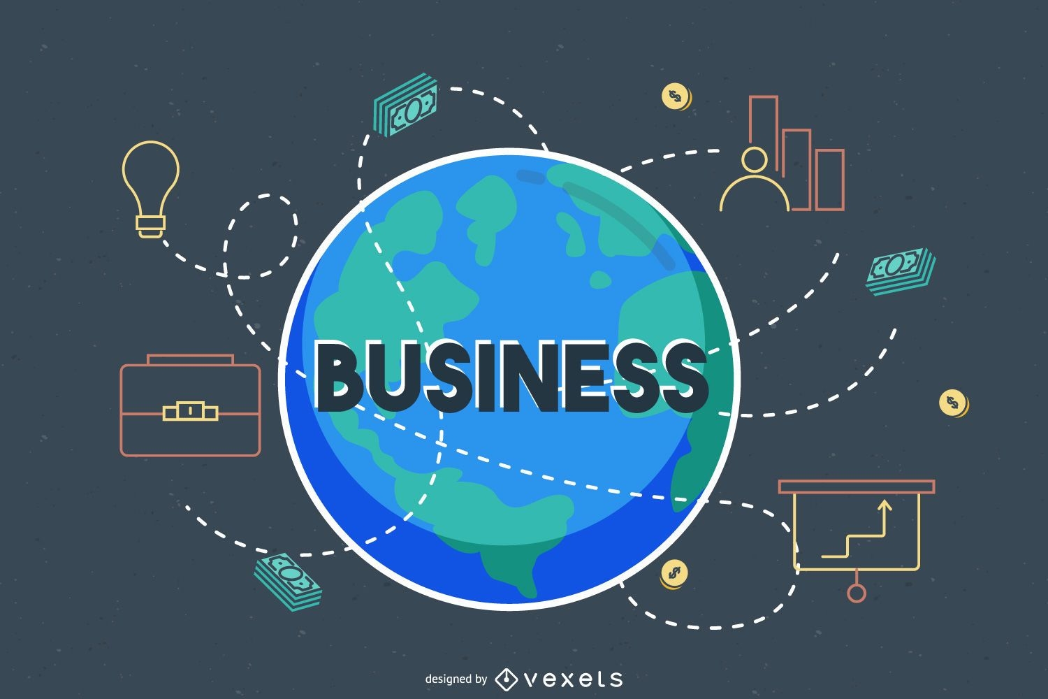
Global Business Around the World
Choose a folder
All favorites
Create new
Save
Global Business Around the World
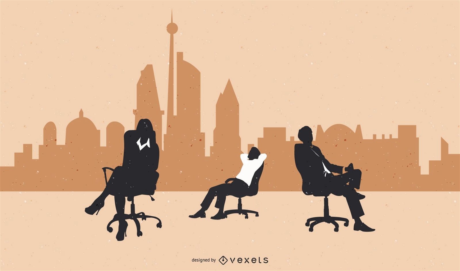
Business people
Choose a folder
All favorites
Create new
Save
Business people
Minimal Travel & Tourism Icon Set
Choose a folder
All favorites
Create new
Save
Minimal Travel & Tourism Icon Set
Rounded Contact Icons
Choose a folder
All favorites
Create new
Save
Rounded Contact Icons
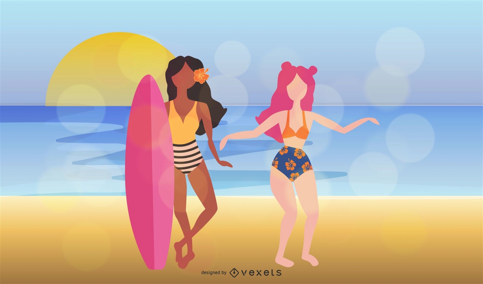
Summer Dream Vectors 3
Choose a folder
All favorites
Create new
Save
Summer Dream Vectors 3
Summer Dream Vectors 2
Choose a folder
All favorites
Create new
Save
Summer Dream Vectors 2
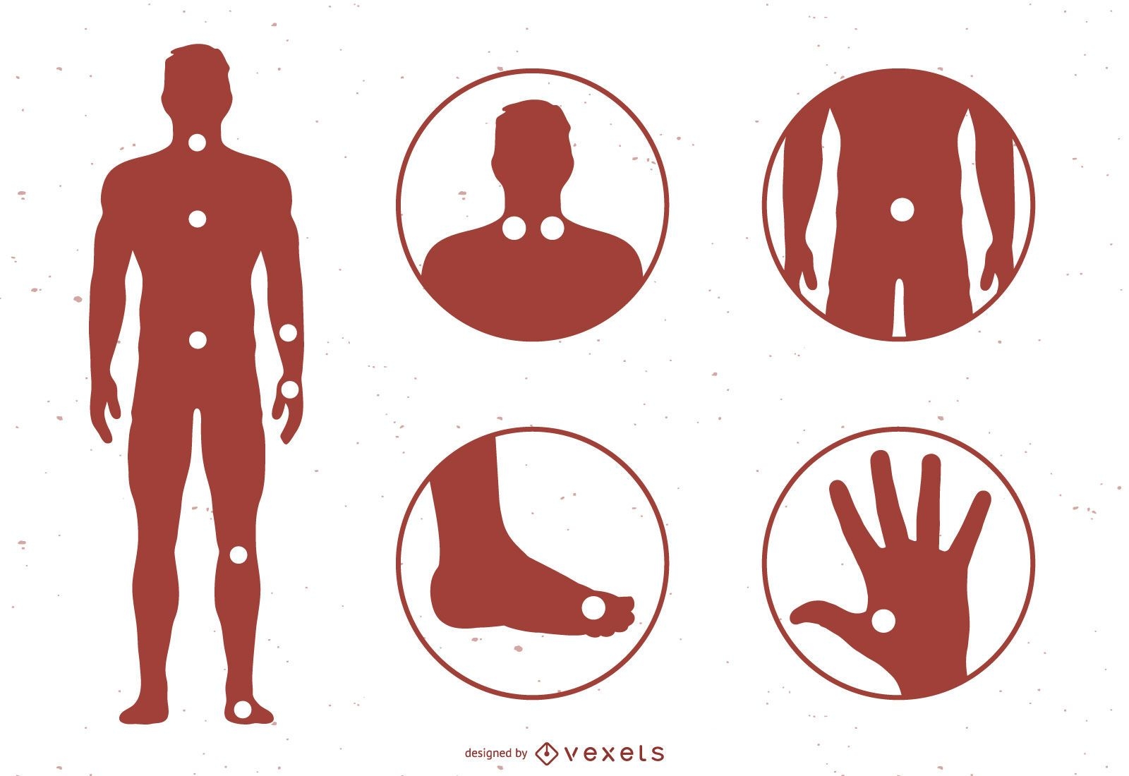
Acupuncture Meridian Points With Reference To The Body Map
Choose a folder
All favorites
Create new
Save
Acupuncture Meridian Points With Reference To The Body Map
Suicide Vector
Choose a folder
All favorites
Create new
Save
Suicide Vector
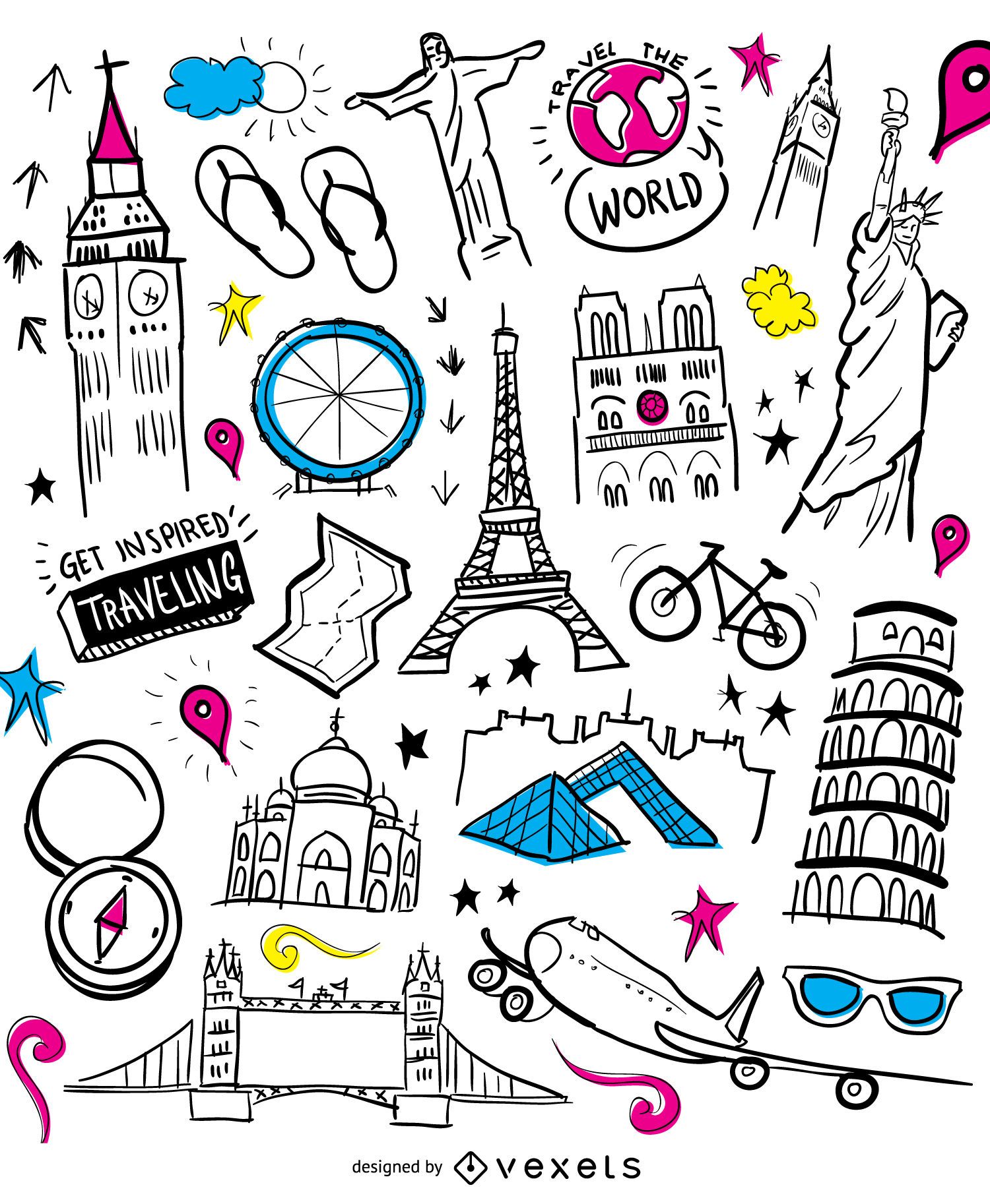
Airplane travel doodle monuments
Choose a folder
All favorites
Create new
Save
Airplane travel doodle monuments
Airplane traveling globe
Choose a folder
All favorites
Create new
Save
Airplane traveling globe
Glossy Colorful Infographic Elements
Choose a folder
All favorites
Create new
Save
Glossy Colorful Infographic Elements
Minimal Colorful Infographic Set
Choose a folder
All favorites
Create new
Save
Minimal Colorful Infographic Set
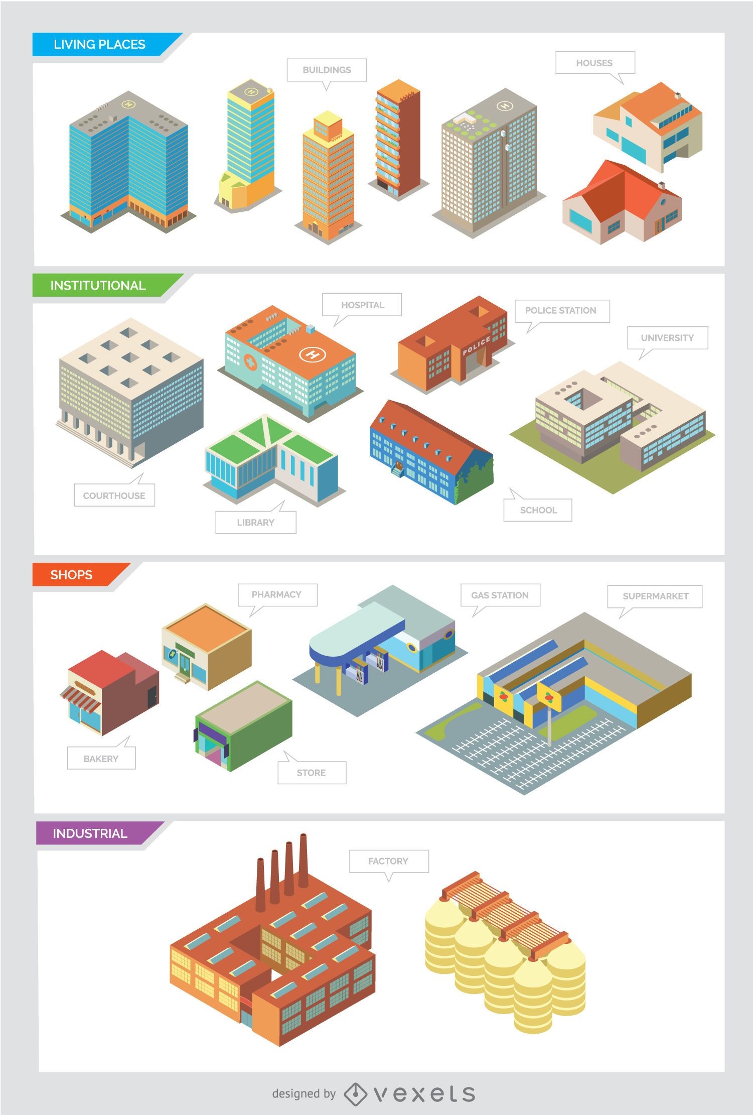
City buildings - Isolated and Isometric
Choose a folder
All favorites
Create new
Save
City buildings - Isolated and Isometric
Multimedia social web circle icons set
Choose a folder
All favorites
Create new
Save
Multimedia social web circle icons set
Travelling elements wallpaper
Choose a folder
All favorites
Create new
Save
Travelling elements wallpaper
International delivery infographic
Choose a folder
All favorites
Create new
Save
International delivery infographic
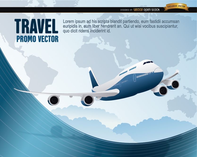
World Travel plane wavy
Choose a folder
All favorites
Create new
Save
World Travel plane wavy
Pirate elements illustration collection
Choose a folder
All favorites
Create new
Save
Pirate elements illustration collection
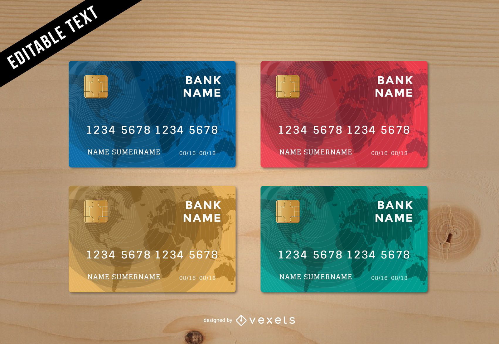
Stunning Credit Card Template
Choose a folder
All favorites
Create new
Save
Stunning Credit Card Template
Hiking winter holidays
Choose a folder
All favorites
Create new
Save
Hiking winter holidays
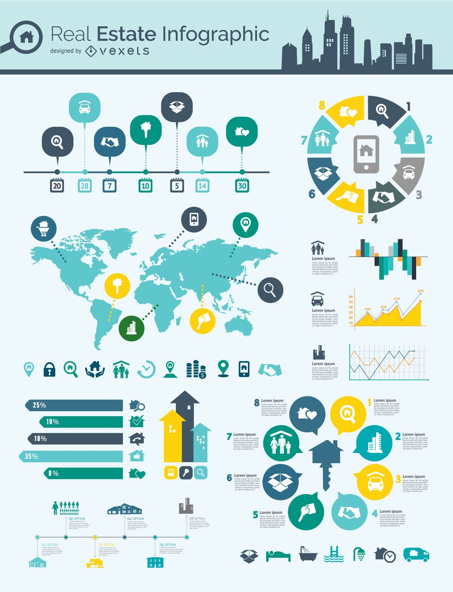
Real estate infographic mindmap
Choose a folder
All favorites
Create new
Save
Real estate infographic mindmap
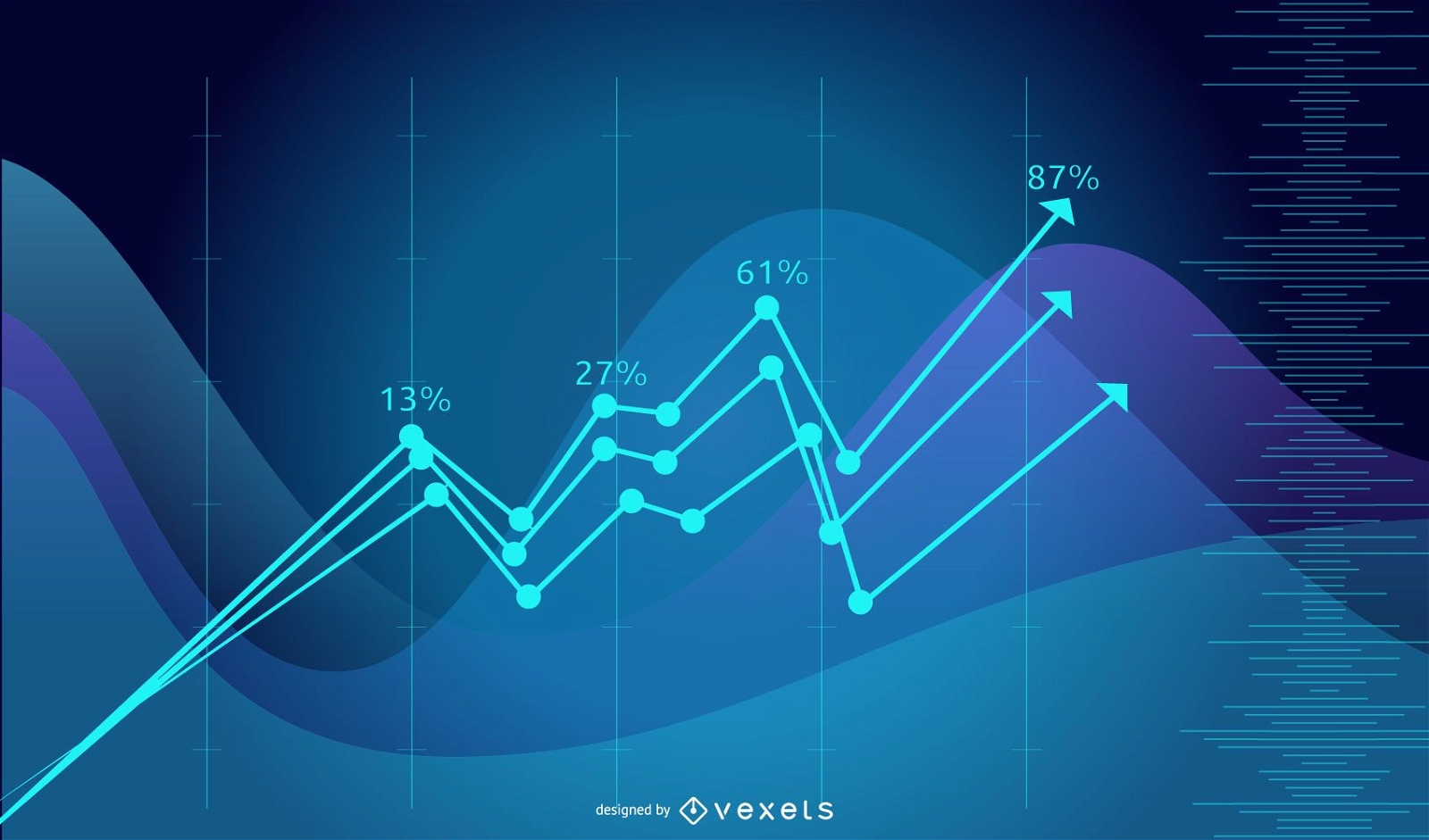
Blue Tech Fluorescent Financial Chart Background
Choose a folder
All favorites
Create new
Save
Blue Tech Fluorescent Financial Chart Background
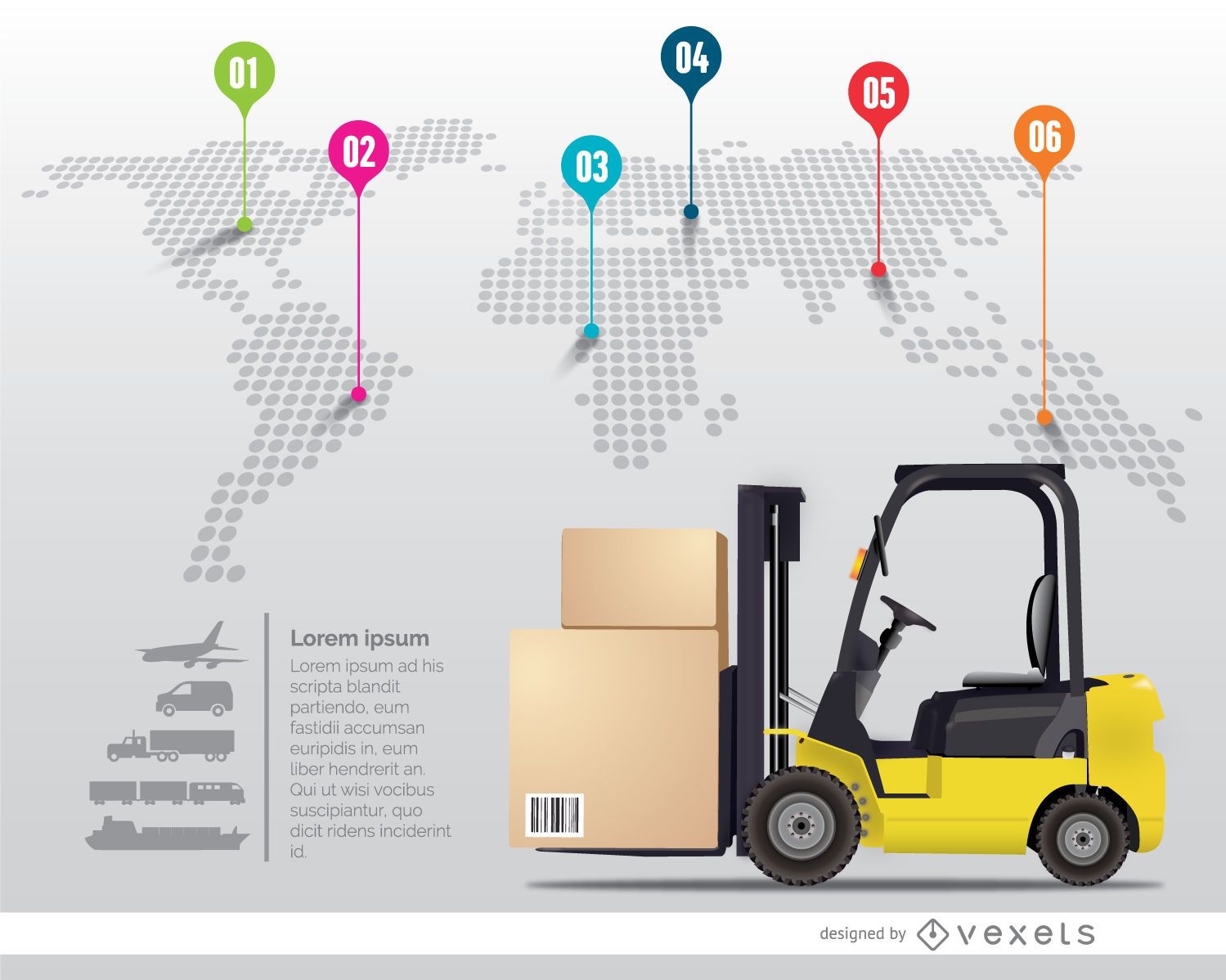
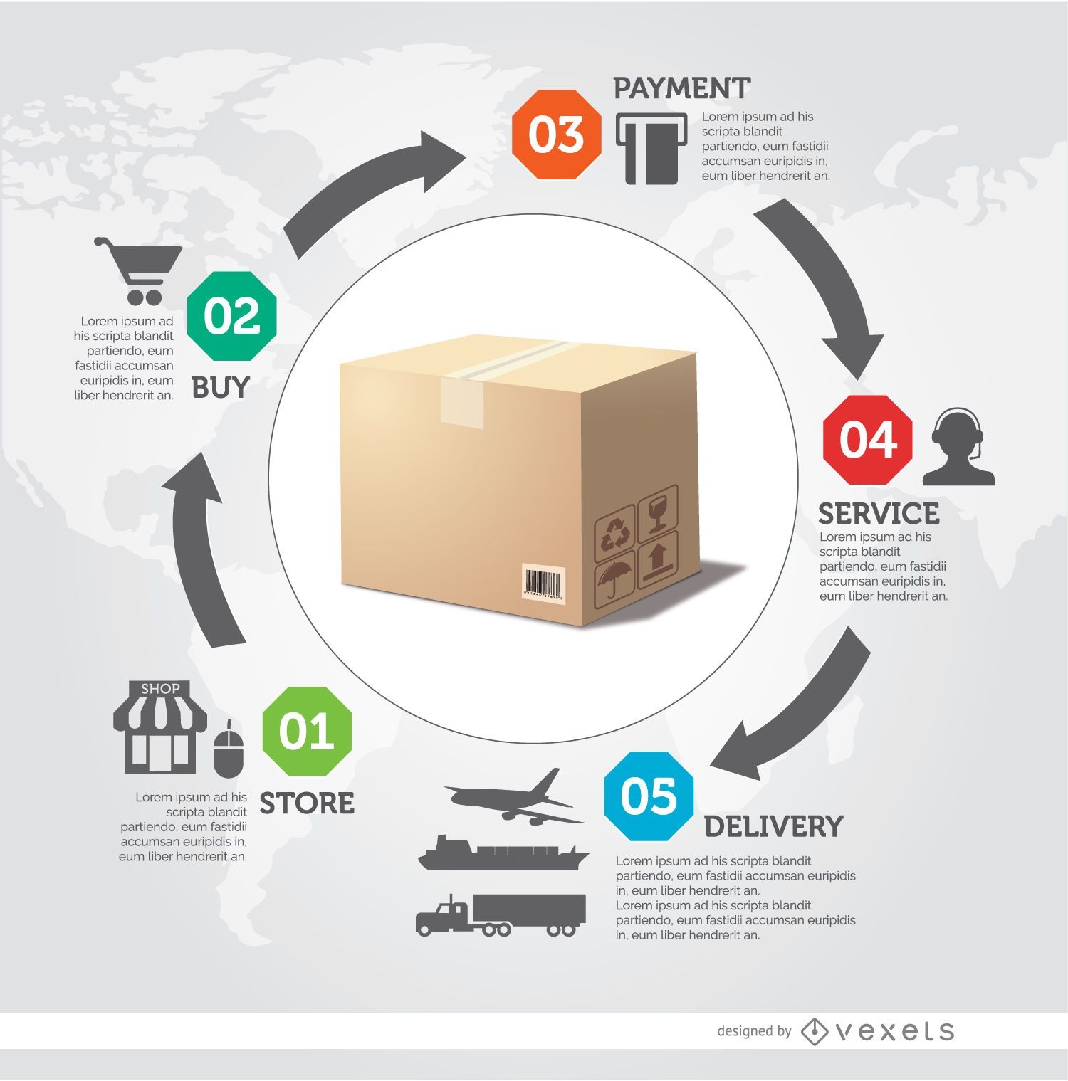
Delivery process infographic
Choose a folder
All favorites
Create new
Save
Delivery process infographic
Template Business Background with Globe and Lines
Choose a folder
All favorites
Create new
Save
Template Business Background with Globe and Lines
Modern Earth Background Design
Choose a folder
All favorites
Create new
Save
Modern Earth Background Design
Business brochure blue template
Choose a folder
All favorites
Create new
Save
Business brochure blue template
Infographic timeline template
Choose a folder
All favorites
Create new
Save
Infographic timeline template
Blue Globe Curvy Edge Business Background
Choose a folder
All favorites
Create new
Save
Blue Globe Curvy Edge Business Background
Premium
Pirate elements collection
Choose a folder
All favorites
Create new
Save
Pirate elements collection
Social infographics resources pack
Choose a folder
All favorites
Create new
Save
Social infographics resources pack
Women health infographics resources
Choose a folder
All favorites
Create new
Save
Women health infographics resources
Tileable pattern
Premium
Miami cultural elements pattern design
Choose a folder
All favorites
Create new
Save
Miami cultural elements pattern design
Hand drawn infographic elements
Choose a folder
All favorites
Create new
Save
Hand drawn infographic elements
Desktop earth globe cartoon
Choose a folder
All favorites
Create new
Save
Desktop earth globe cartoon
Premium
Psychedelic american flag pattern design
Choose a folder
All favorites
Create new
Save
Psychedelic american flag pattern design
Infographic Timeline
Choose a folder
All favorites
Create new
Save
Infographic Timeline
I love Uk composition
Choose a folder
All favorites
Create new
Save
I love Uk composition
Travel Scene with Airplane & Beach Sunset
Choose a folder
All favorites
Create new
Save
Travel Scene with Airplane & Beach Sunset
Flat isometric hospital
Choose a folder
All favorites
Create new
Save
Flat isometric hospital
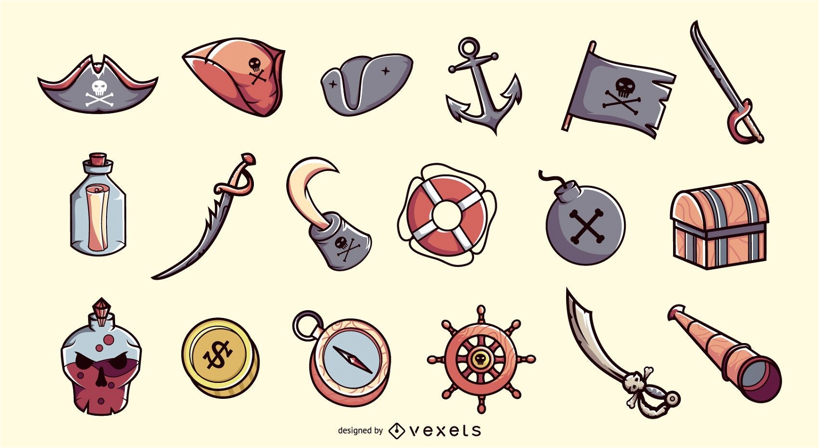
Pirate stroke elements collection
Choose a folder
All favorites
Create new
Save
Pirate stroke elements collection
Set of 2 traveling postcards
Choose a folder
All favorites
Create new
Save
Set of 2 traveling postcards
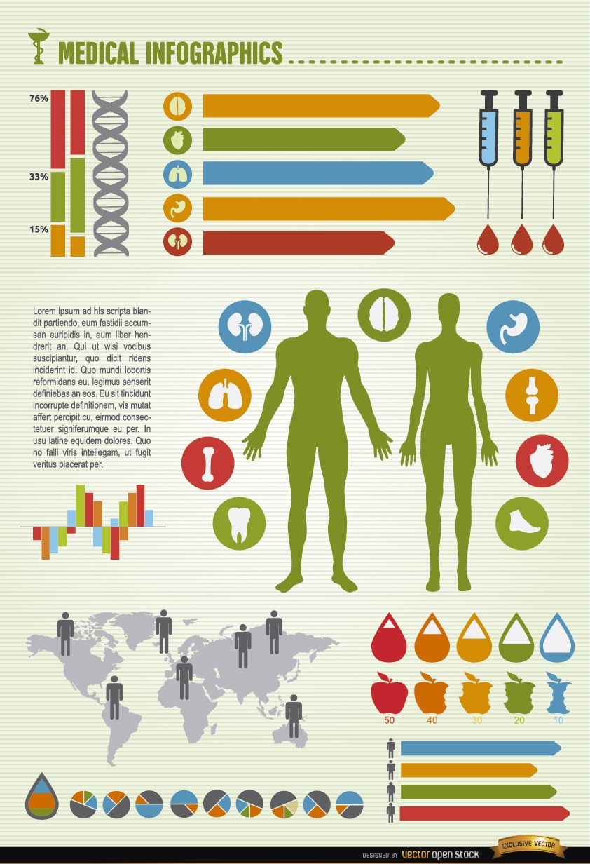
Men and women health world infographics
Choose a folder
All favorites
Create new
Save
Men and women health world infographics
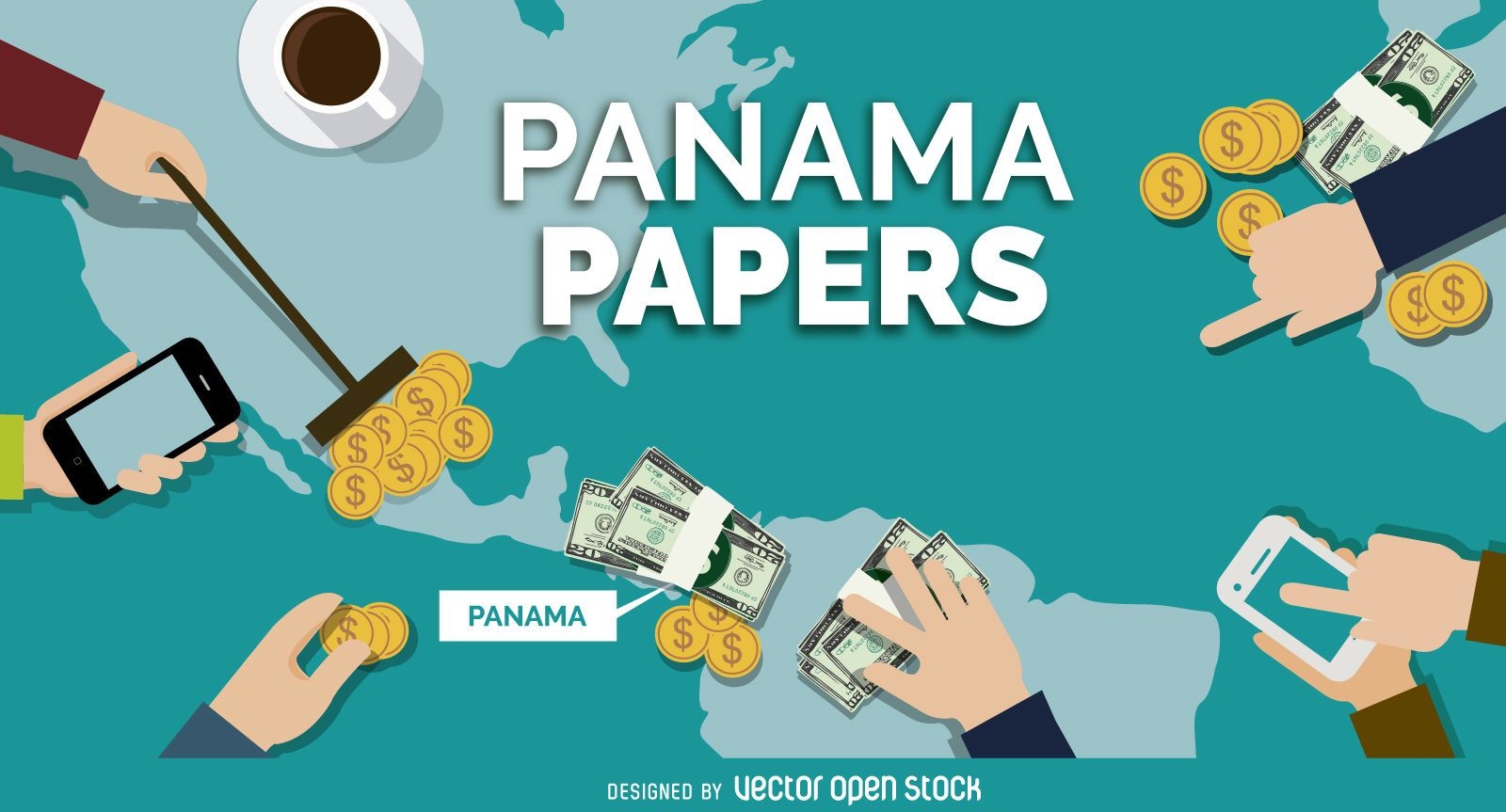
Panama Papers banner design
Choose a folder
All favorites
Create new
Save
Panama Papers banner design
Young Businessman Showing Globe
Choose a folder
All favorites
Create new
Save
Young Businessman Showing Globe
Arrow Buttons Set
Choose a folder
All favorites
Create new
Save
Arrow Buttons Set
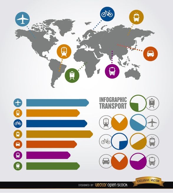
Travel infographic transport elements
Choose a folder
All favorites
Create new
Save
Travel infographic transport elements
Boost Your Business
With The Leading Graphic Platform For Merch.
SEE PLANS
Next
of 6
prev page
next page