Design Library
New Merch Designs
T-Shirts
Vectors
Trending Merch Designs
PNGs & SVGs
Mockups
T-Shirt PSD Templates
Explore Designs
KDP Designs
Posters
Mugs
Phone Cases
Tote Bags
Pillows
Design Tools
Merch Designer
New!
Mockup Generator
AI Design Generator
Image Vectorizer
Quote Generator
T-Shirt Maker (Old)
Resources
Merch Digest
Blog
Help Center
Learn About Merch
Feedback
Corporate Solutions
Enterprise
API Access
Design Studio
Bulk Design Production
Pricing
Loading...
Sign Up
Login
All
a
map
Design Library
New Merch Designs
T-Shirts
Vectors
Trending Merch Designs
PNGs & SVGs
Mockups
T-Shirt PSD Templates
Explore Designs
KDP Designs
Posters
Mugs
Phone Cases
Tote Bags
Pillows
Design Tools
Merch Designer
New!
Mockup Generator
AI Design Generator
Image Vectorizer
Quote Generator
T-Shirt Maker (Old)
Resources
Merch Digest
Blog
Help Center
Learn About Merch
Feedback
Corporate Solutions
Enterprise
API Access
Design Studio
Bulk Design Production
PLANS
All
a
map
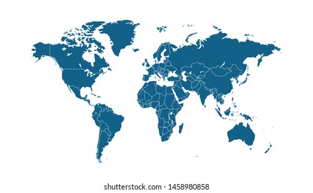
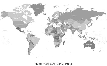
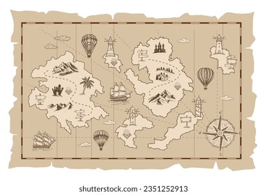
823 a map designs graphics for t-shirt and print on demand merch
Download a map t-shirt designs and other merch graphics like book covers, phone cases, tote bags and more.
Sort by
Most relevant
Sponsored results by
Get 15% off with code: VEXELS15
Show more
for Merch
American flag eagle t-shirt design
Choose a folder
All favorites
Create new
Save
American flag eagle t-shirt design
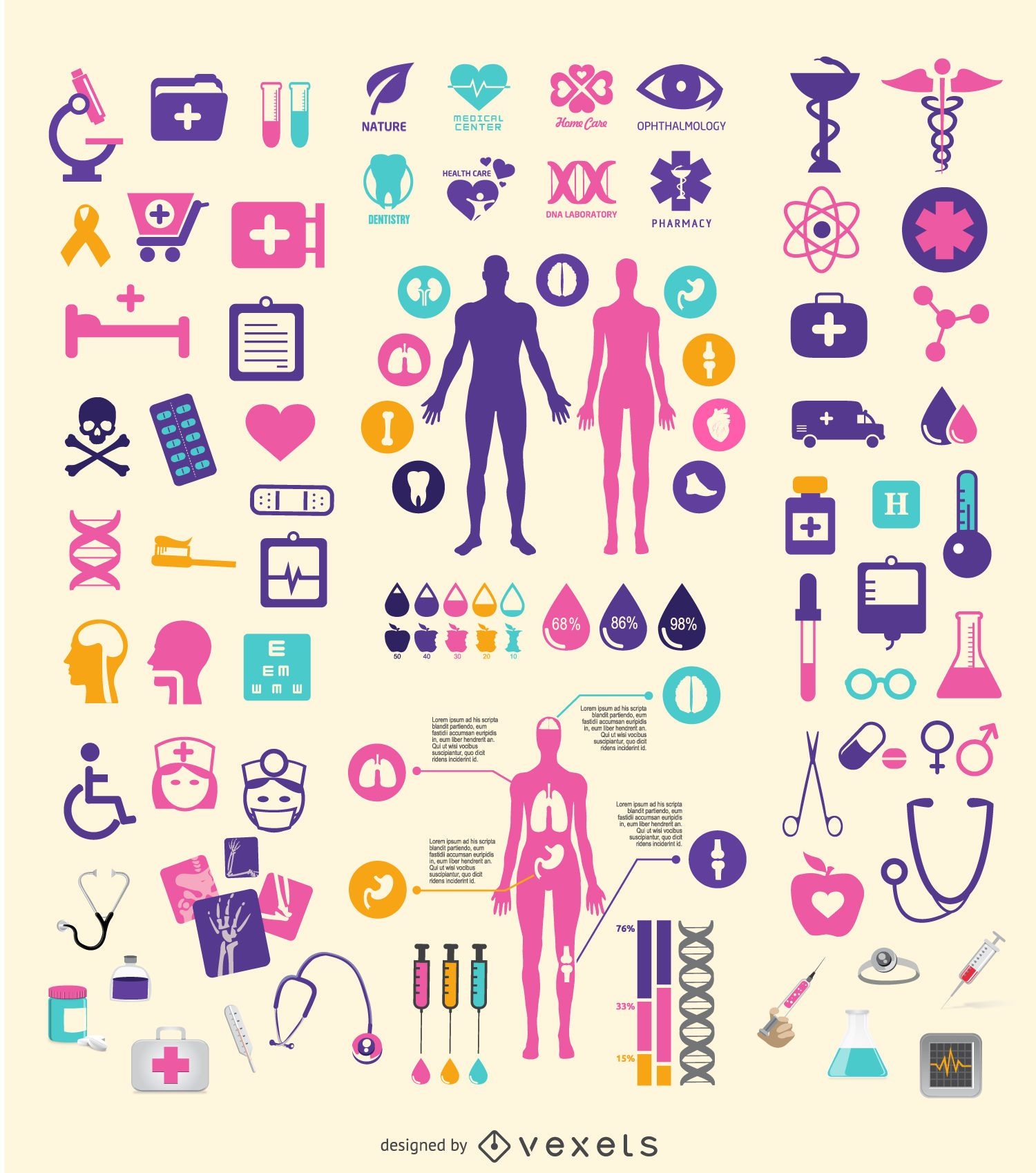
Medical element set
Choose a folder
All favorites
Create new
Save
Medical element set
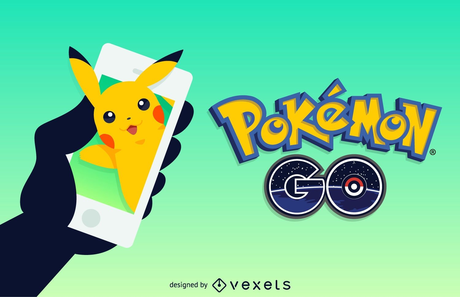
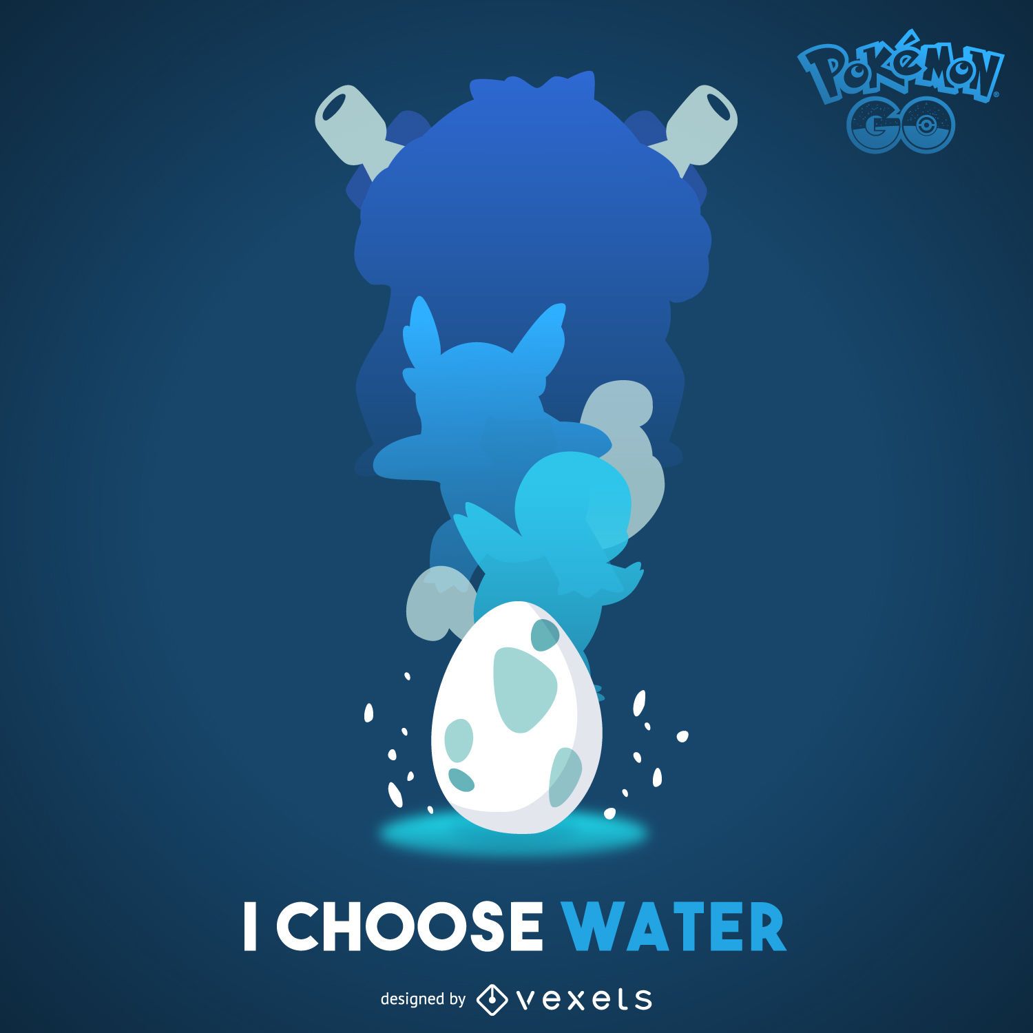
Pokémon GO
Choose a folder
All favorites
Create new
Save
Pokémon GO
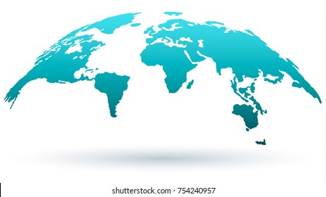
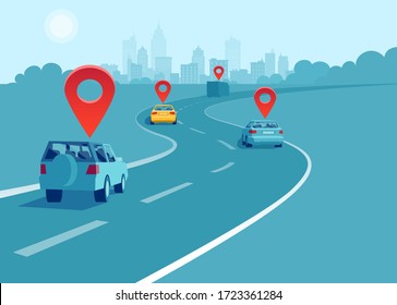
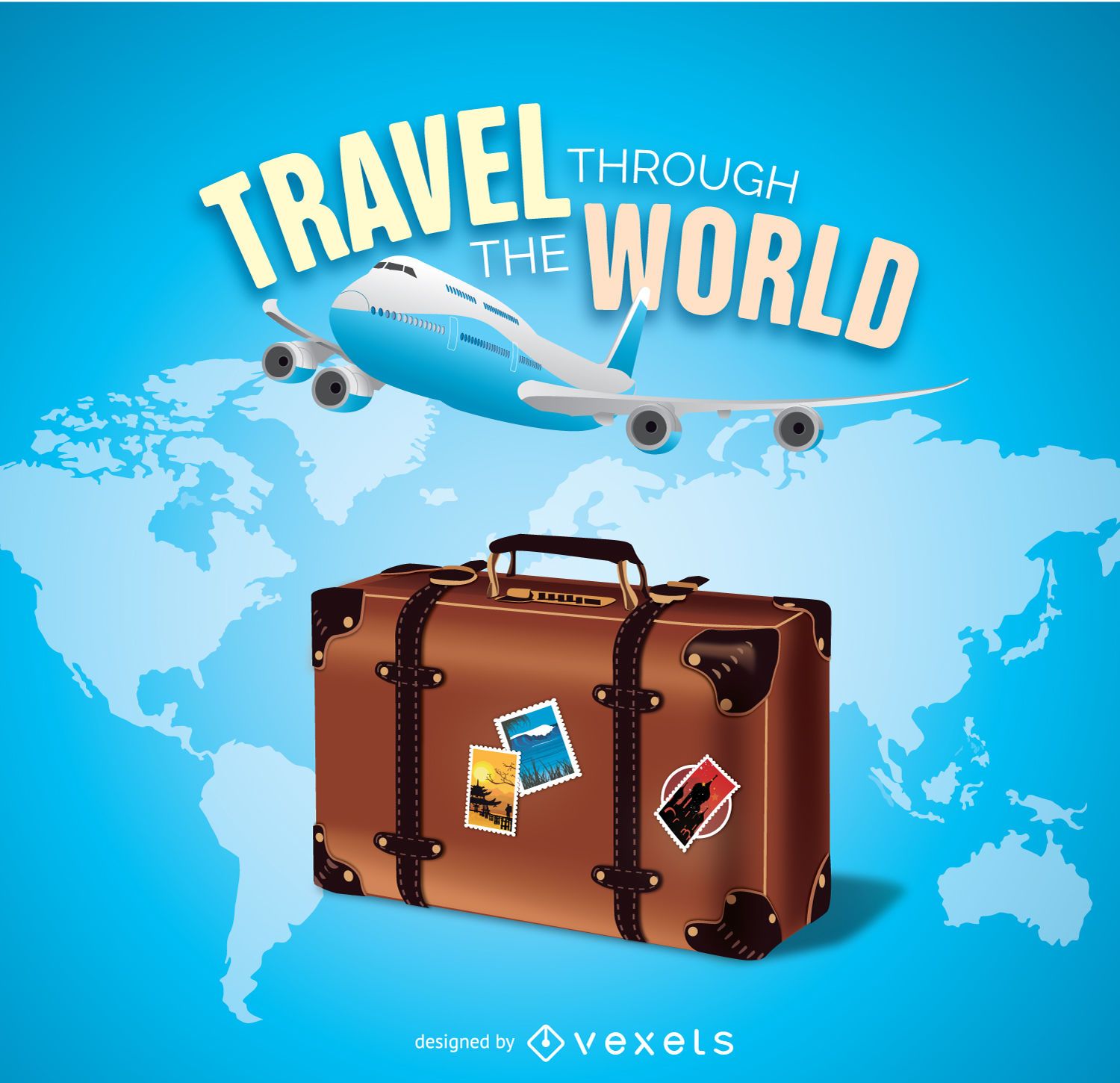
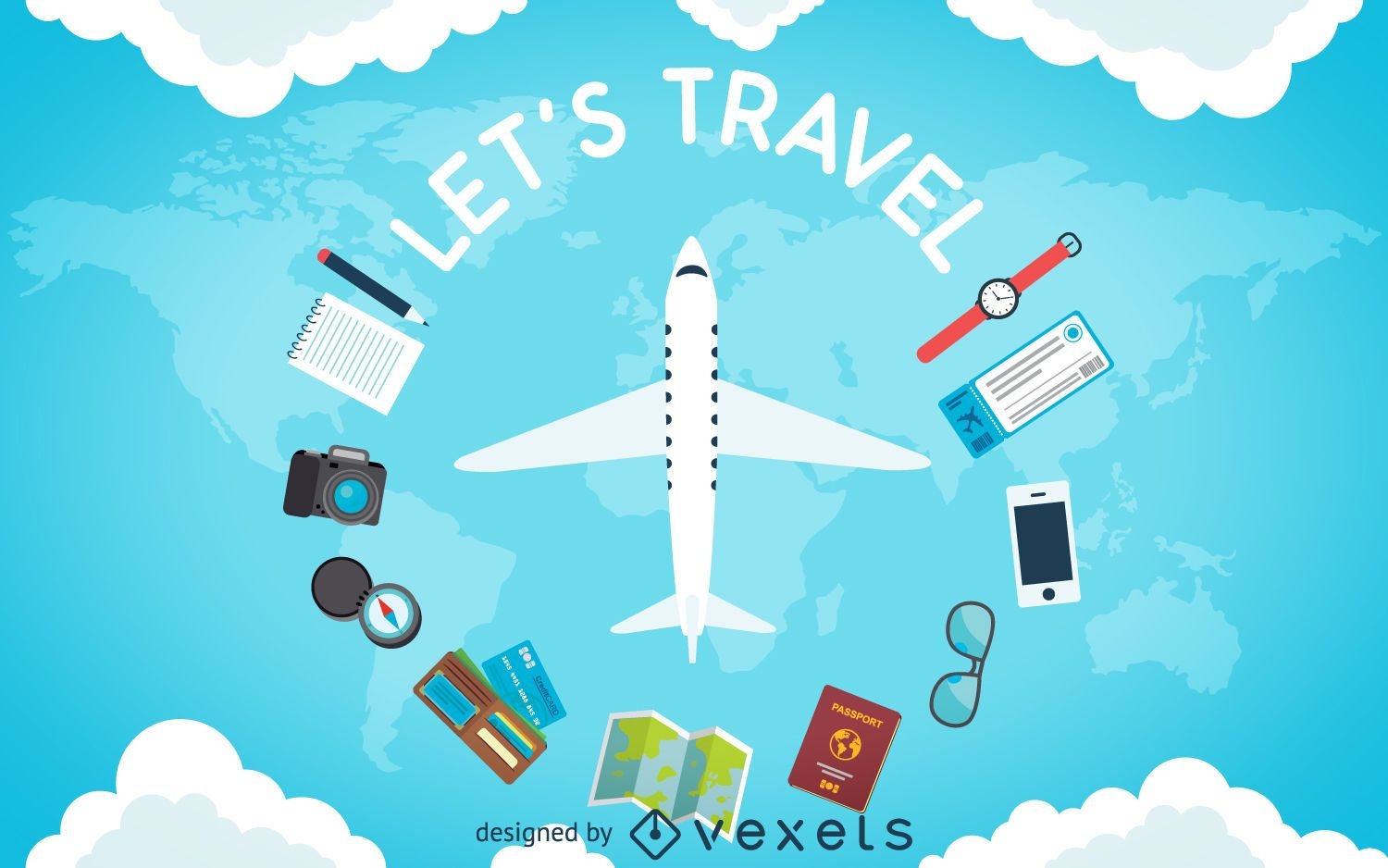
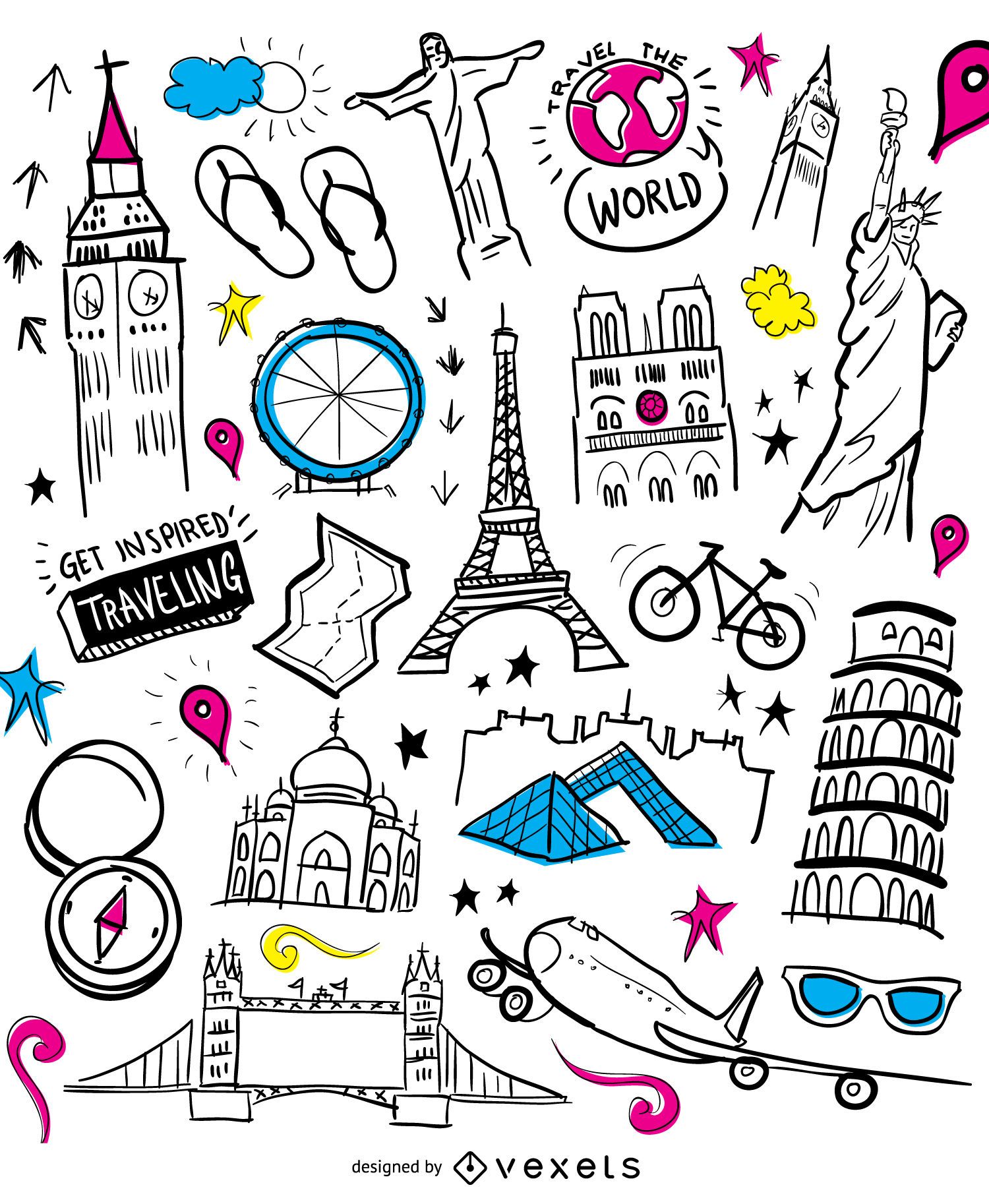
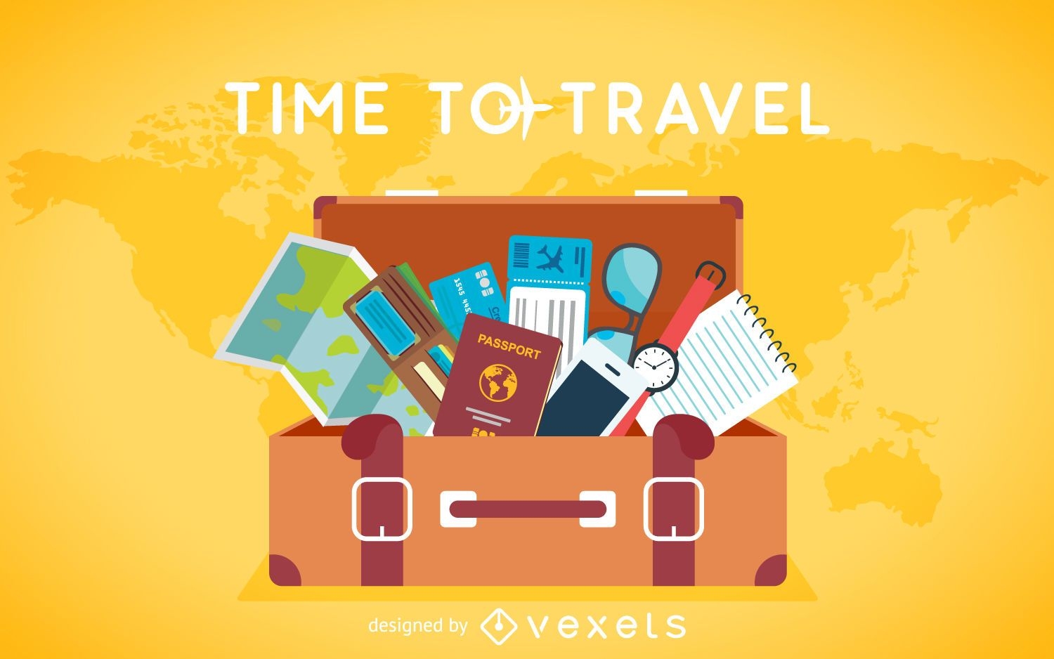
Travel the world
Choose a folder
All favorites
Create new
Save
Travel the world
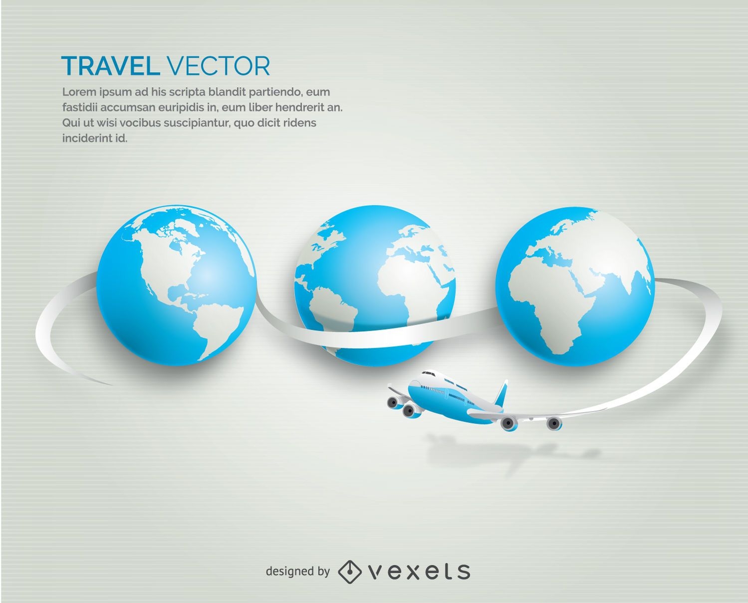
Airplane traveling globe
Choose a folder
All favorites
Create new
Save
Airplane traveling globe
for Merch
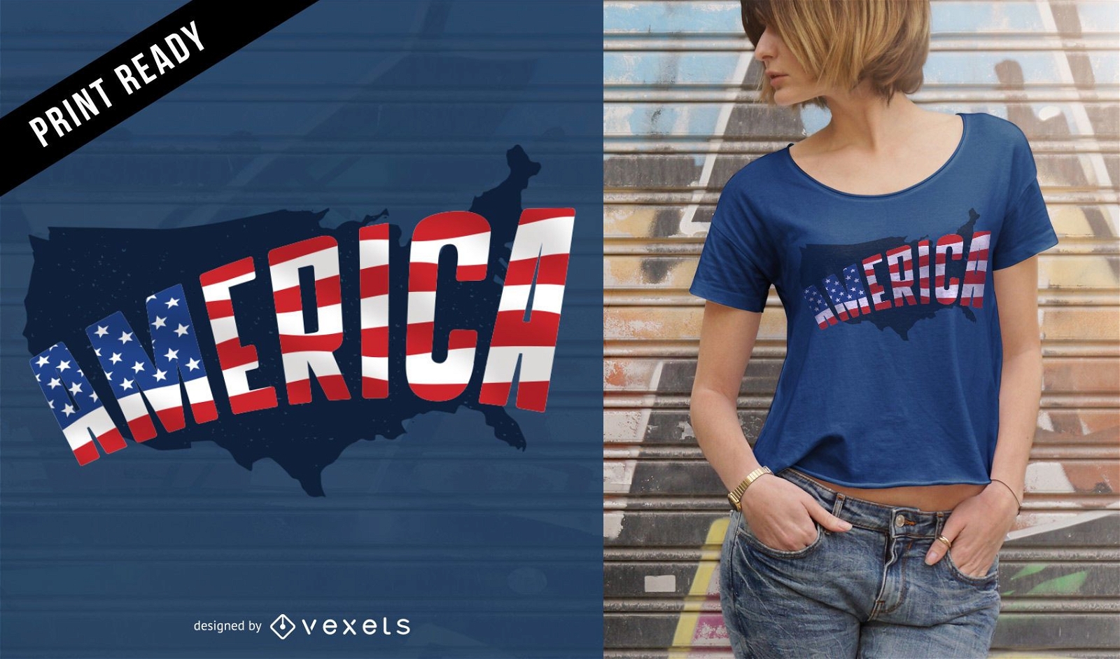
America t-shirt design
Choose a folder
All favorites
Create new
Save
America t-shirt design
Premium
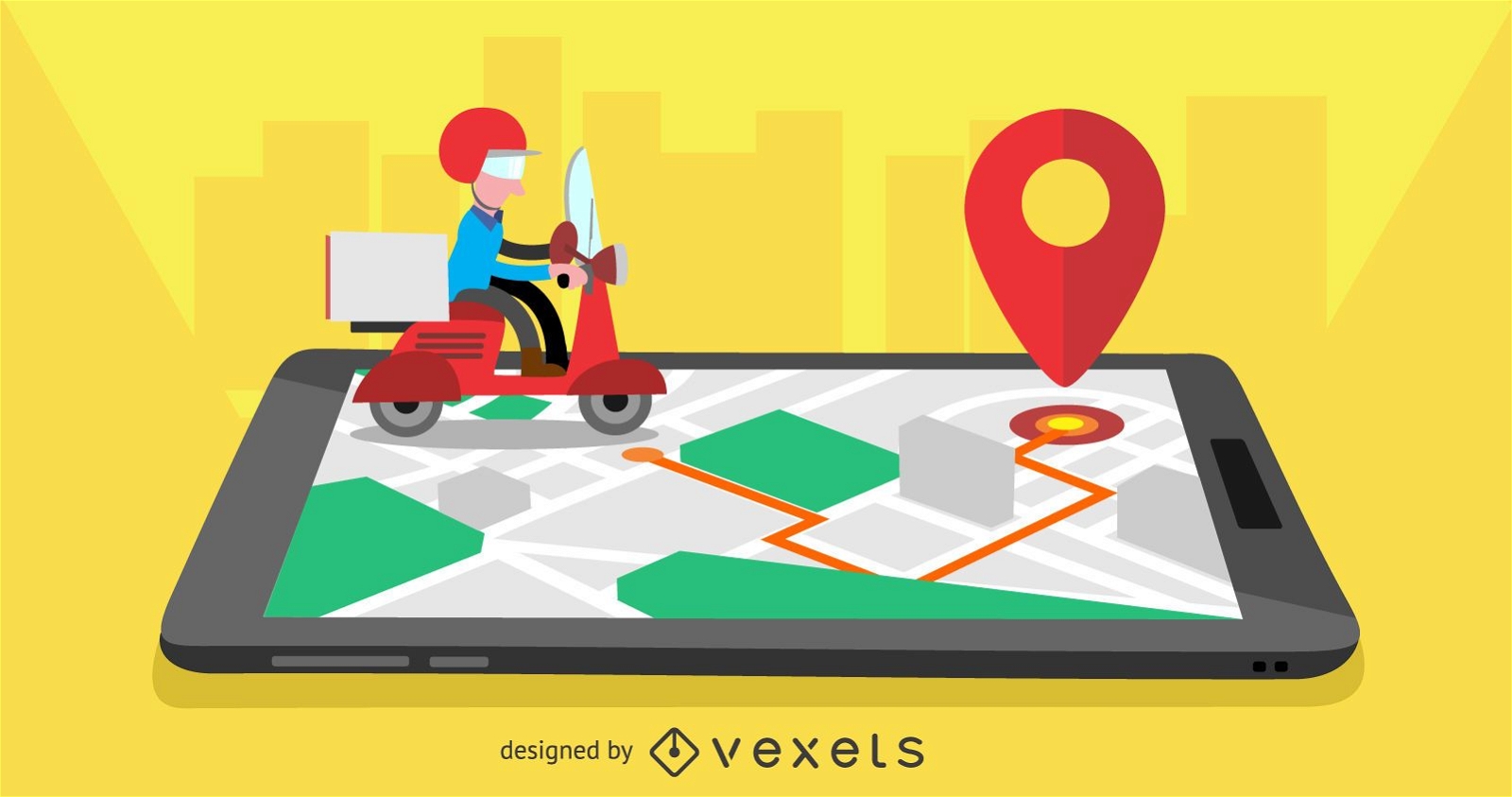
Delivery mobile app design
Choose a folder
All favorites
Create new
Save
Delivery mobile app design
Print ready
for Merch
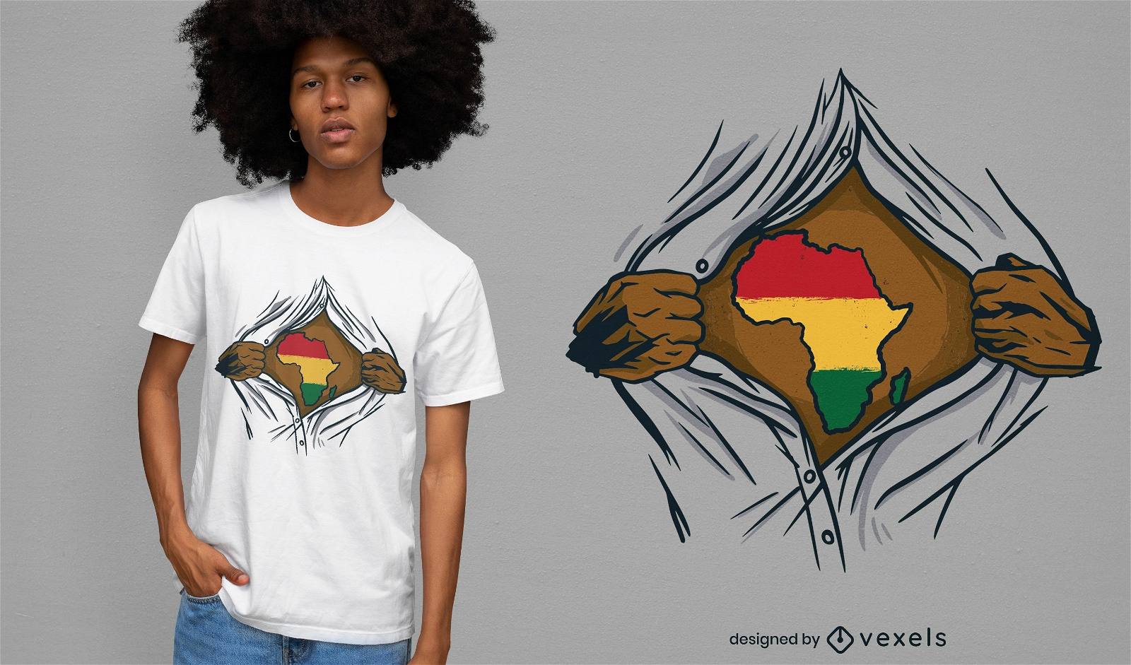
Africa ripped open t-shirt design
Choose a folder
All favorites
Create new
Save
Africa ripped open t-shirt design
Glossy Colorful Infographic Elements
Choose a folder
All favorites
Create new
Save
Glossy Colorful Infographic Elements
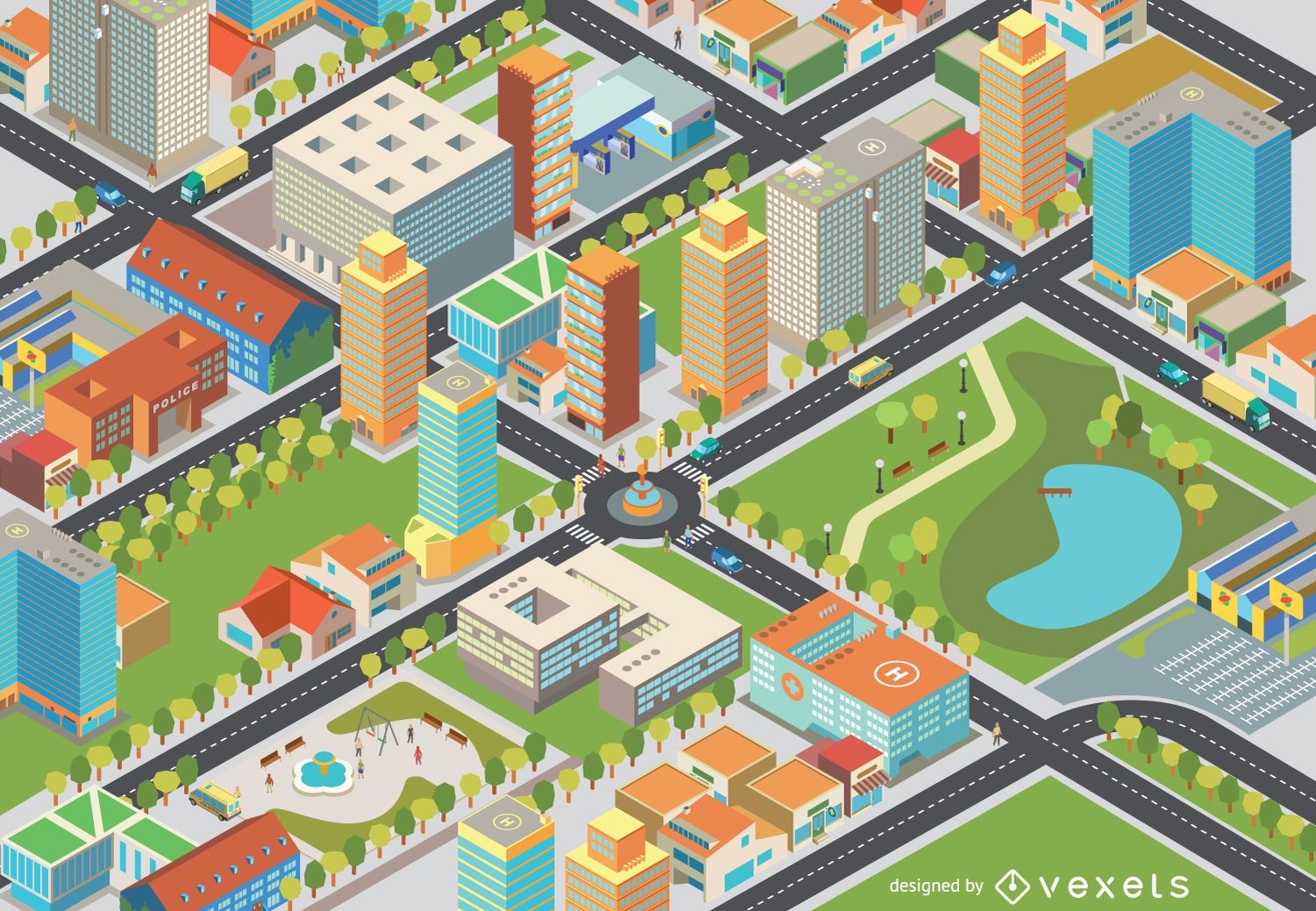
Isometric cityscape - Easy Edit
Choose a folder
All favorites
Create new
Save
Isometric cityscape - Easy Edit
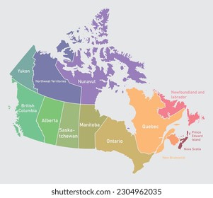
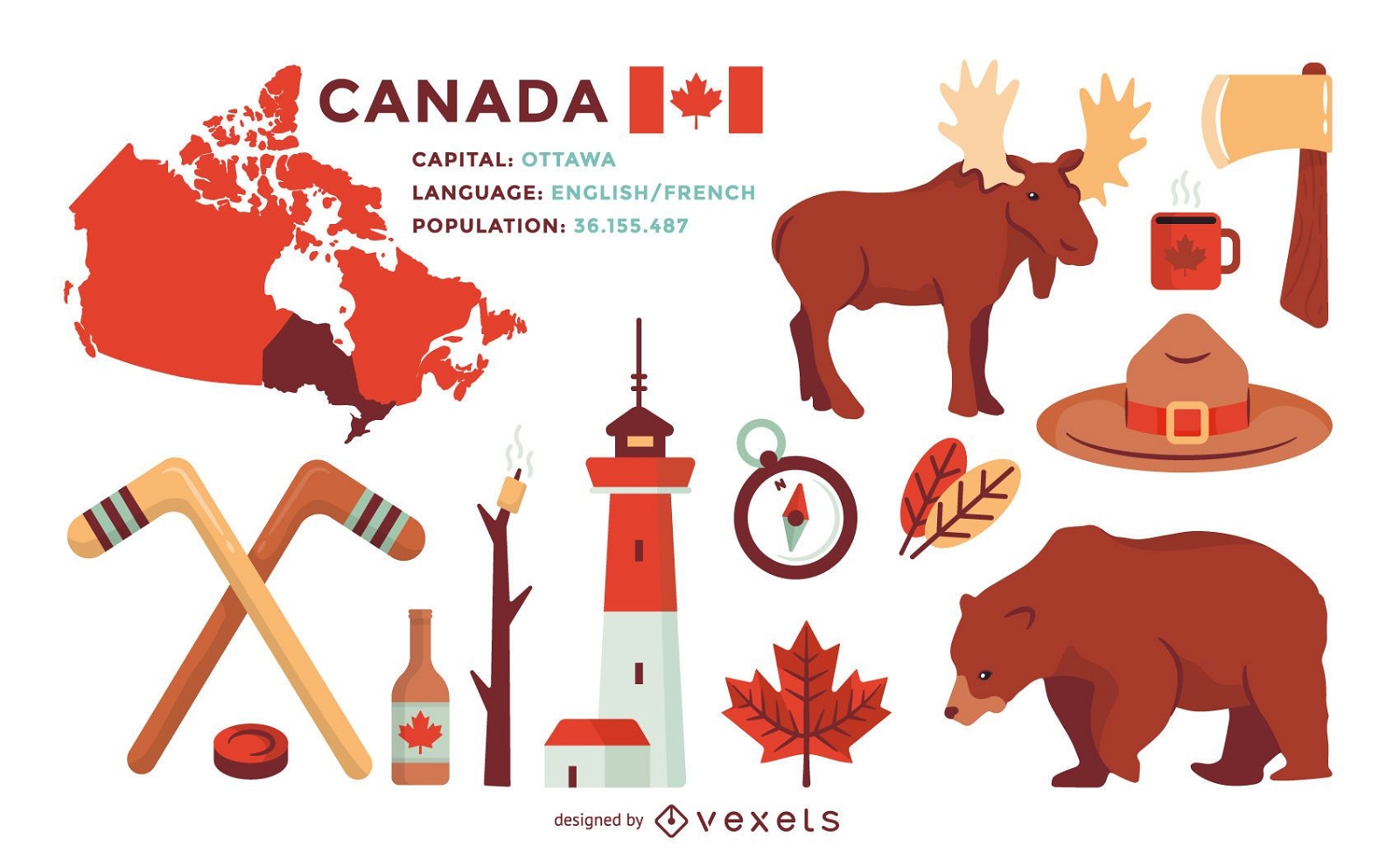
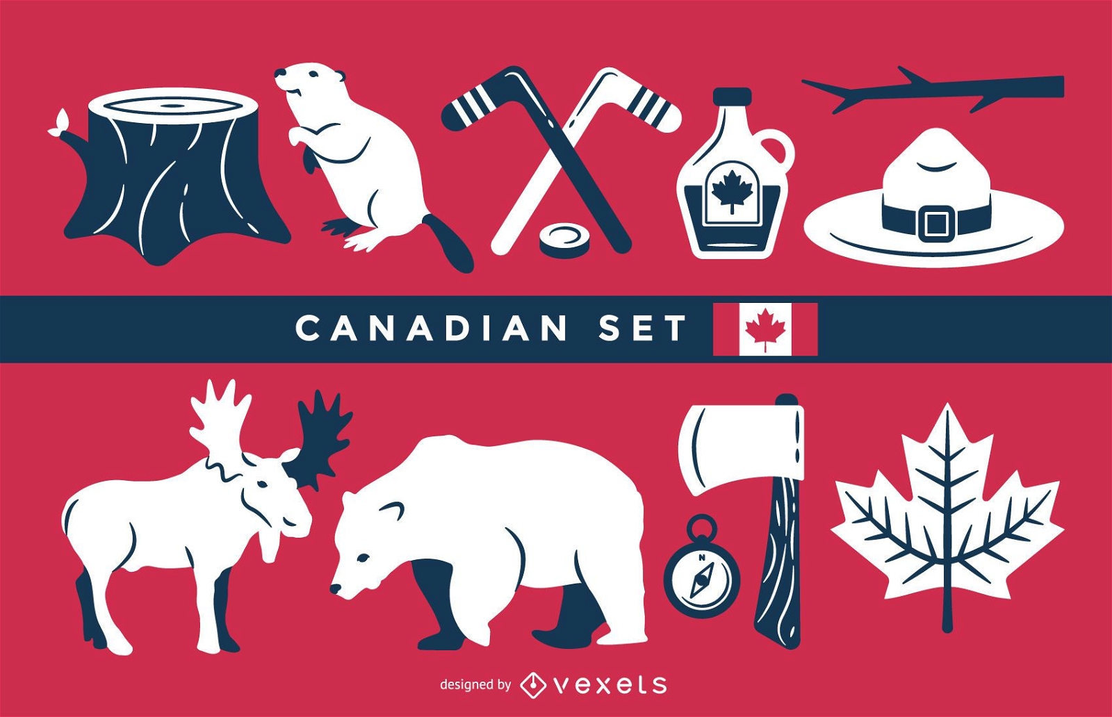
Set of illustrations of Canada elements
Choose a folder
All favorites
Create new
Save
Set of illustrations of Canada elements
Water Pokémon poster
Choose a folder
All favorites
Create new
Save
Water Pokémon poster
Print ready
Premium
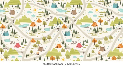
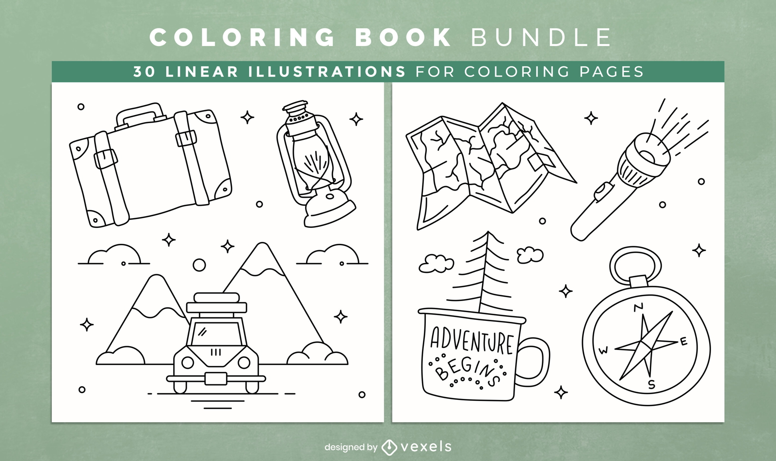
Camping coloring book KDP interior design
Choose a folder
All favorites
Create new
Save
Camping coloring book KDP interior design
Print ready
for Merch
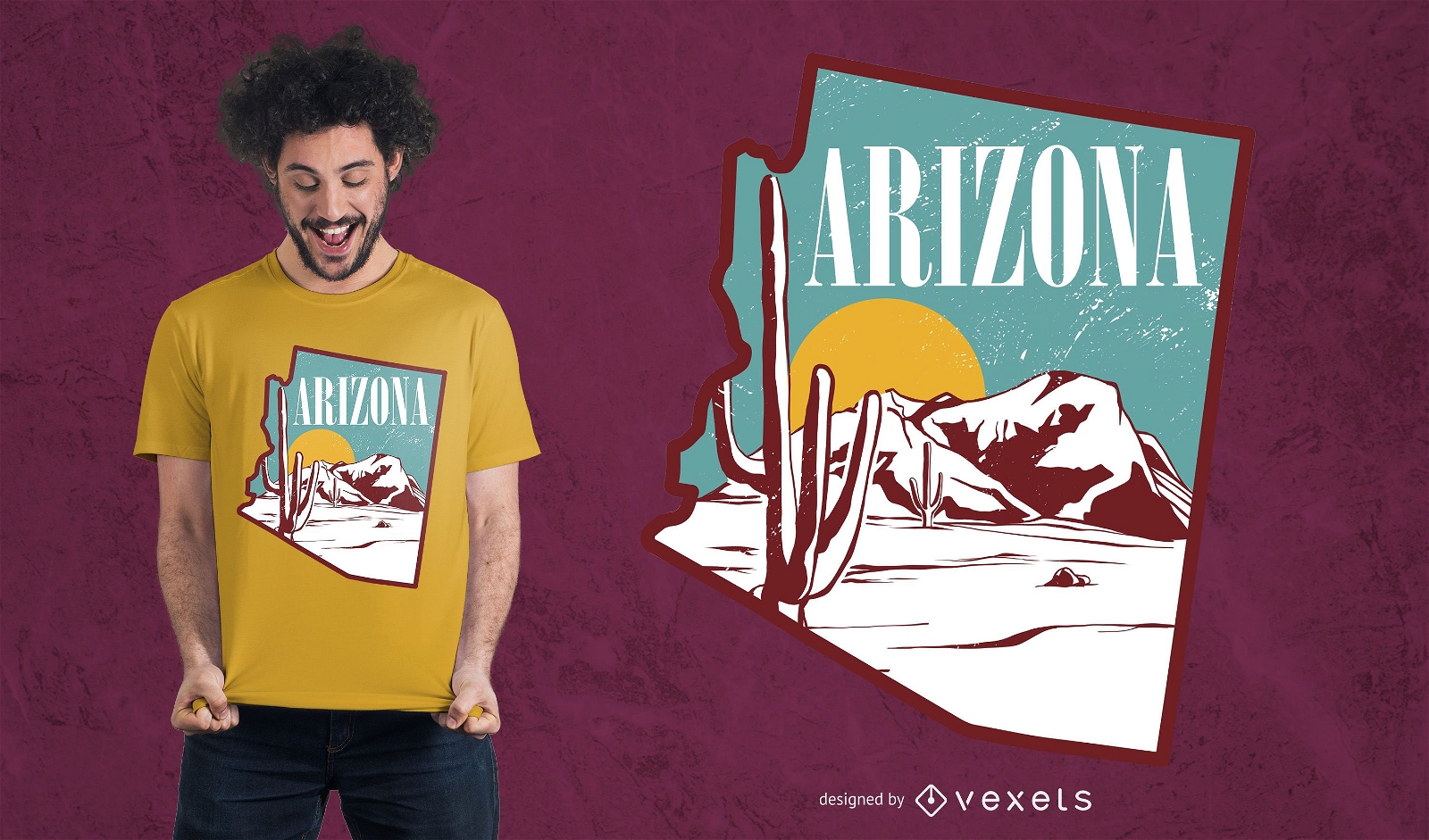
Arizona landscape t-shirt design
Choose a folder
All favorites
Create new
Save
Arizona landscape t-shirt design
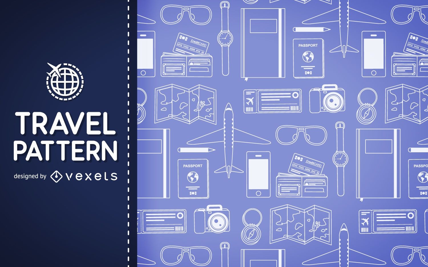
Travel elements pattern backdrop
Choose a folder
All favorites
Create new
Save
Travel elements pattern backdrop
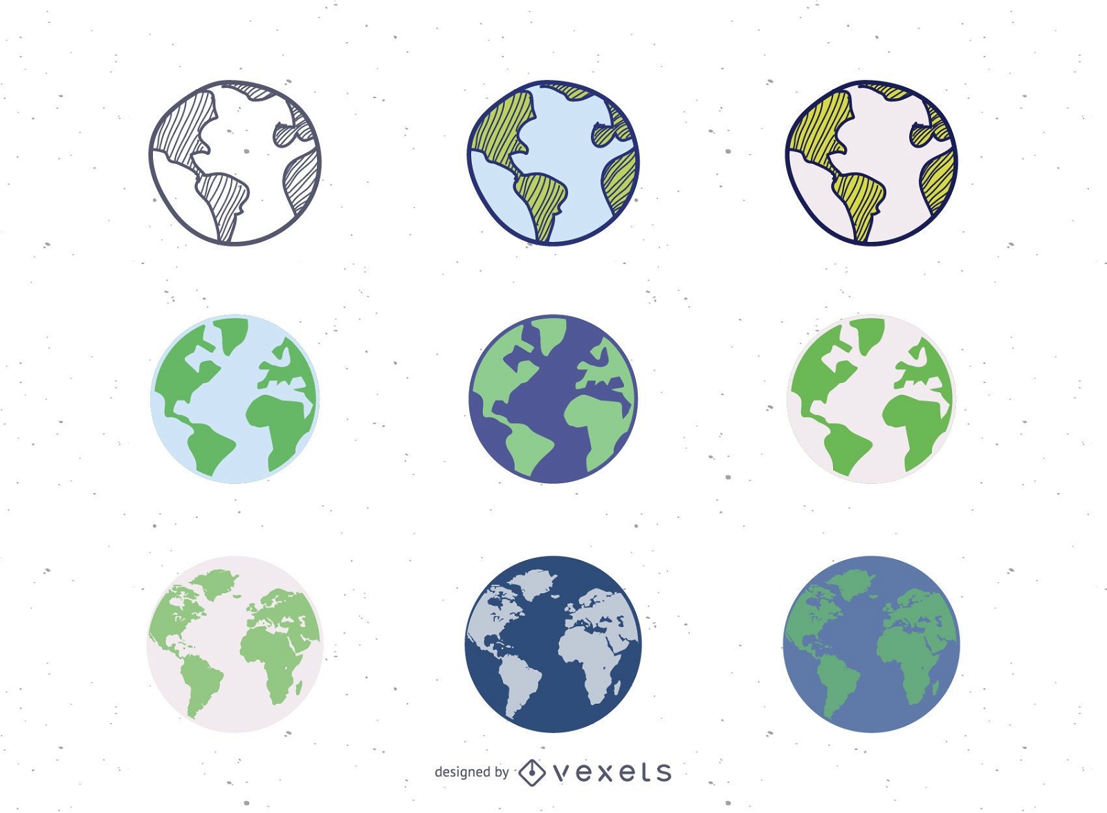
9 Vector Globes Set
Choose a folder
All favorites
Create new
Save
9 Vector Globes Set
Canadian illustration set
Choose a folder
All favorites
Create new
Save
Canadian illustration set
Flat travel plane backdrop
Choose a folder
All favorites
Create new
Save
Flat travel plane backdrop
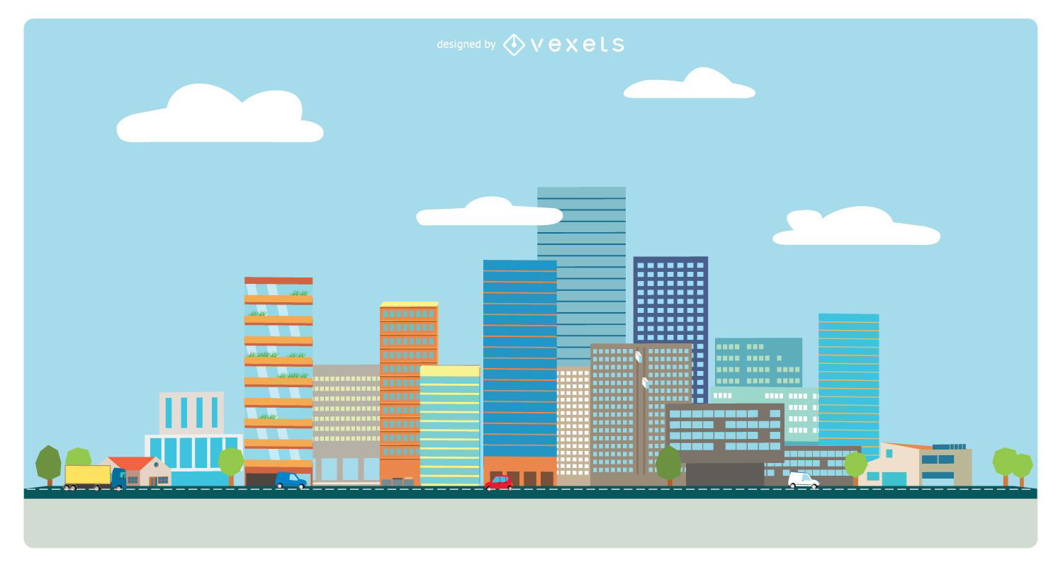
Flat style cityscape
Choose a folder
All favorites
Create new
Save
Flat style cityscape
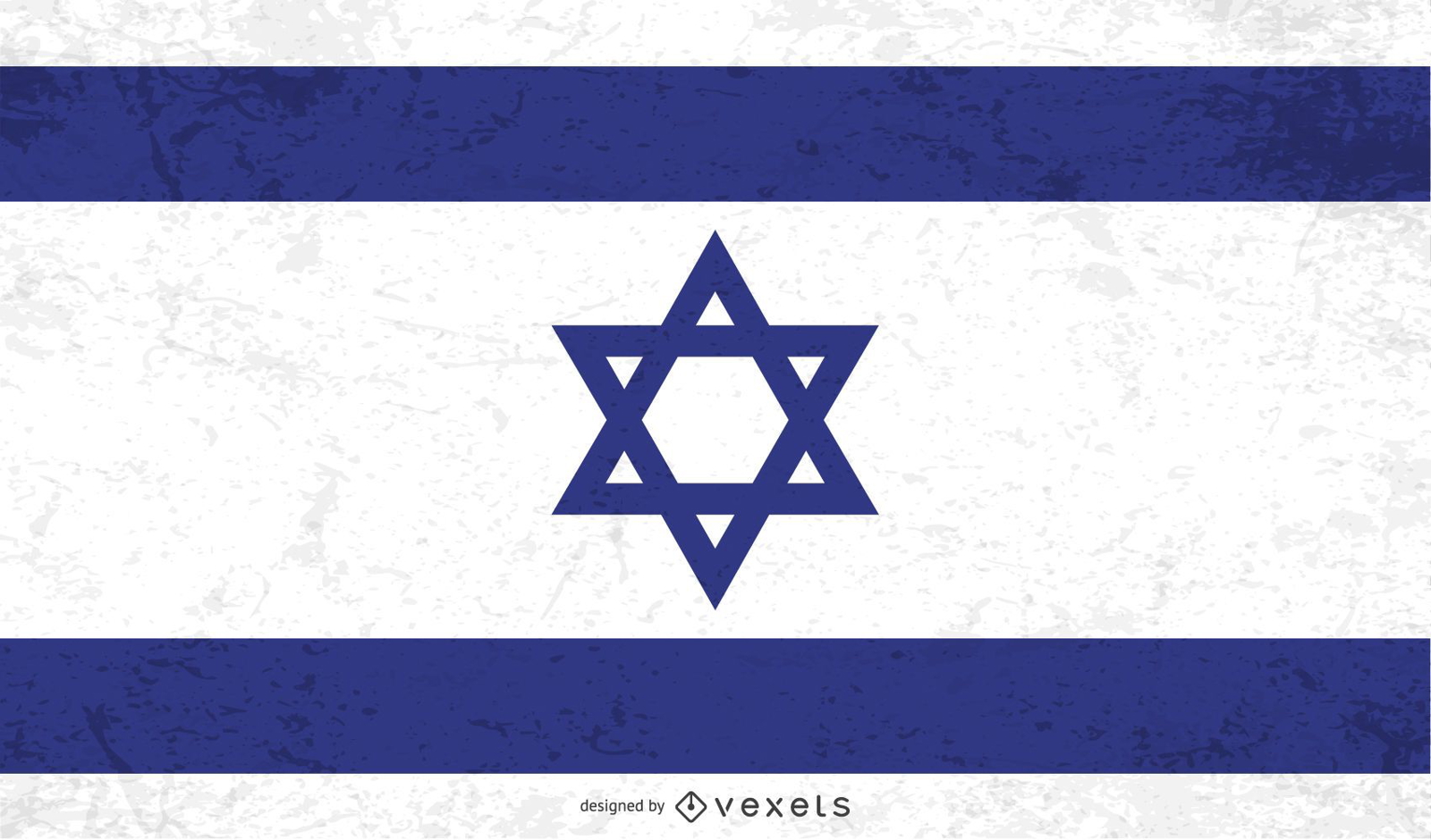
Distressed Israel flag
Choose a folder
All favorites
Create new
Save
Distressed Israel flag
Travelling elements wallpaper
Choose a folder
All favorites
Create new
Save
Travelling elements wallpaper
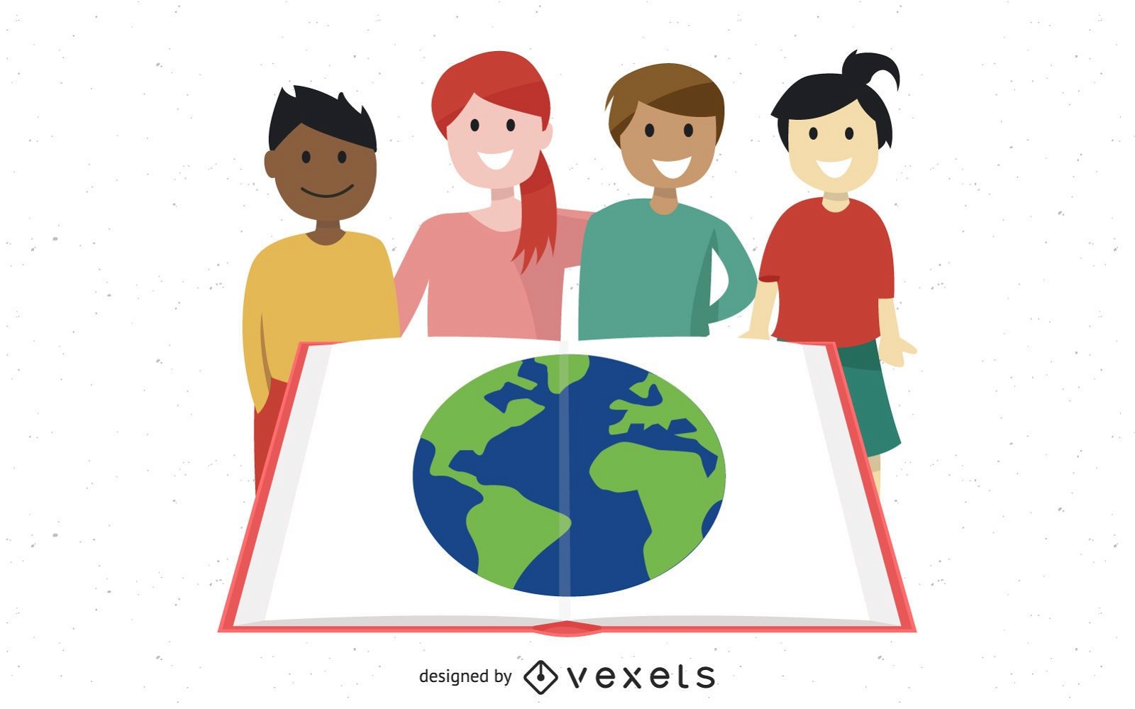
Group Studying Kids with Globe in Open Book
Choose a folder
All favorites
Create new
Save
Group Studying Kids with Globe in Open Book
Editable text
Print ready
Premium
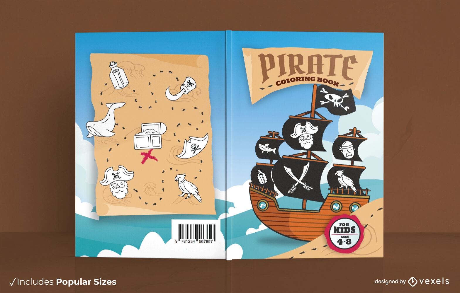
Pirate ship book cover design
Choose a folder
All favorites
Create new
Save
Pirate ship book cover design
Flat travel luggage background
Choose a folder
All favorites
Create new
Save
Flat travel luggage background
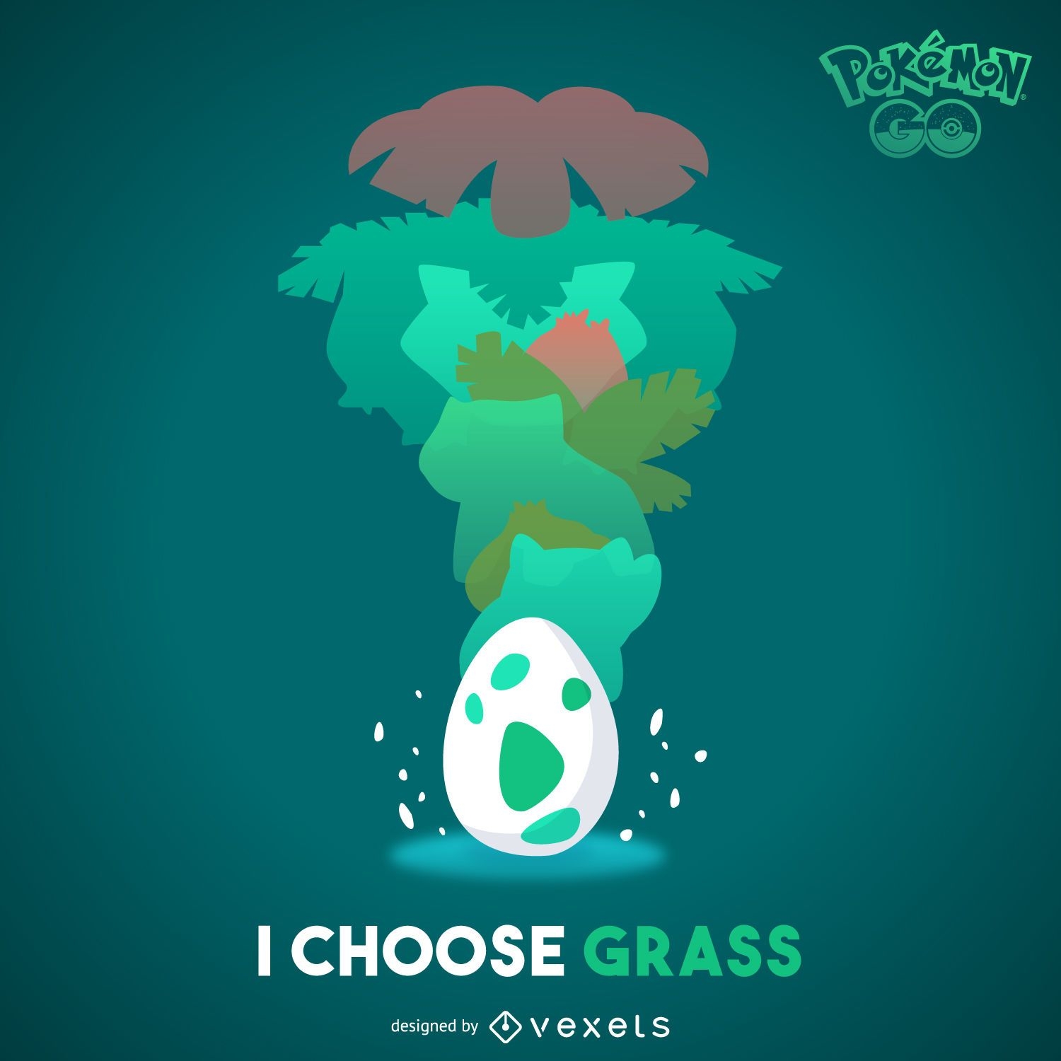
Grass Pokémon illustration
Choose a folder
All favorites
Create new
Save
Grass Pokémon illustration
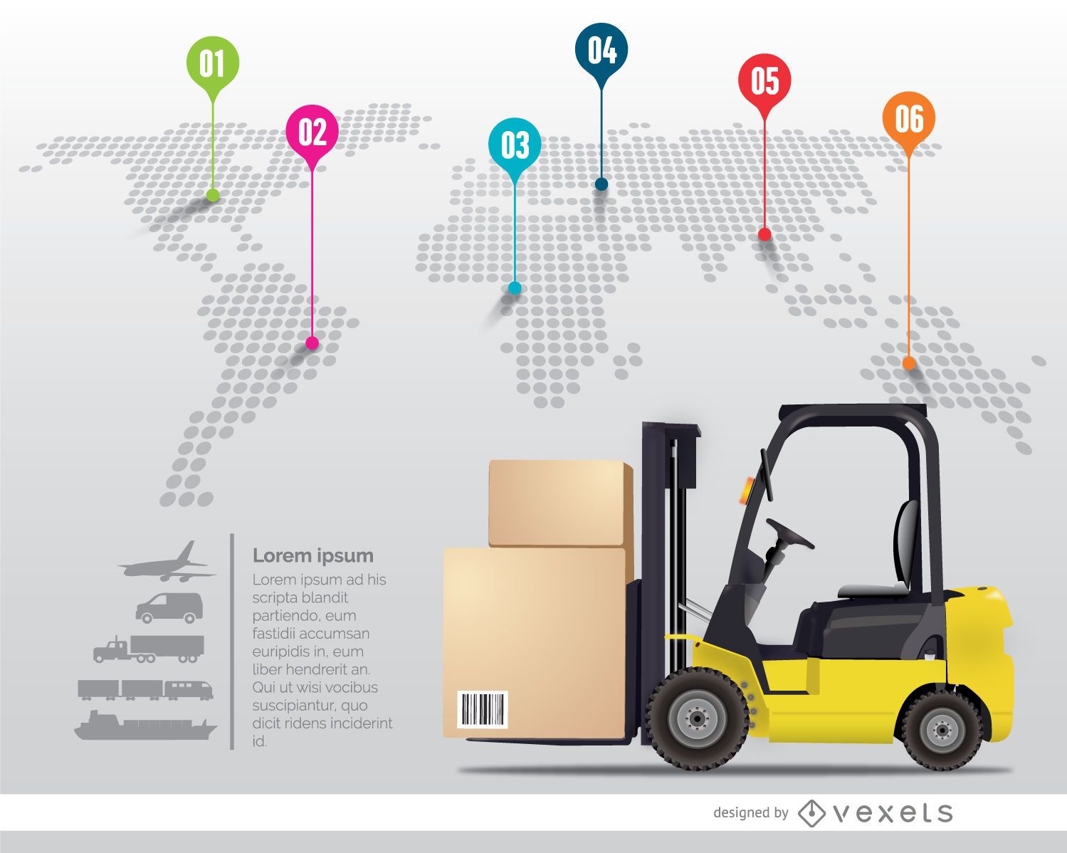
International delivery infographic
Choose a folder
All favorites
Create new
Save
International delivery infographic
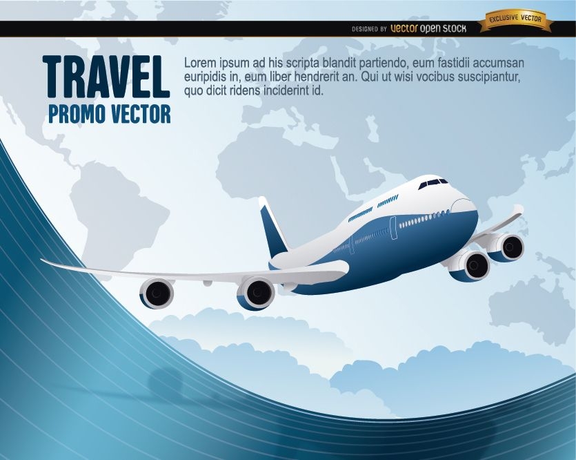
World Travel plane wavy
Choose a folder
All favorites
Create new
Save
World Travel plane wavy
Timeline infographic template
Choose a folder
All favorites
Create new
Save
Timeline infographic template
Travel design creator
Choose a folder
All favorites
Create new
Save
Travel design creator
Premium
The state of idaho is shown PNG Design
Choose a folder
All favorites
Create new
Save
The state of idaho is shown PNG Design
Ecology Environment Infographic
Choose a folder
All favorites
Create new
Save
Ecology Environment Infographic
Flat & 3D Colorful Infographic Set
Choose a folder
All favorites
Create new
Save
Flat & 3D Colorful Infographic Set
Blue Tech Fluorescent Financial Chart Background
Choose a folder
All favorites
Create new
Save
Blue Tech Fluorescent Financial Chart Background
Tileable pattern
Premium
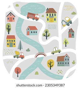
Colorful childrens city carpet pattern design
Choose a folder
All favorites
Create new
Save
Colorful childrens city carpet pattern design
Print ready
for Merch
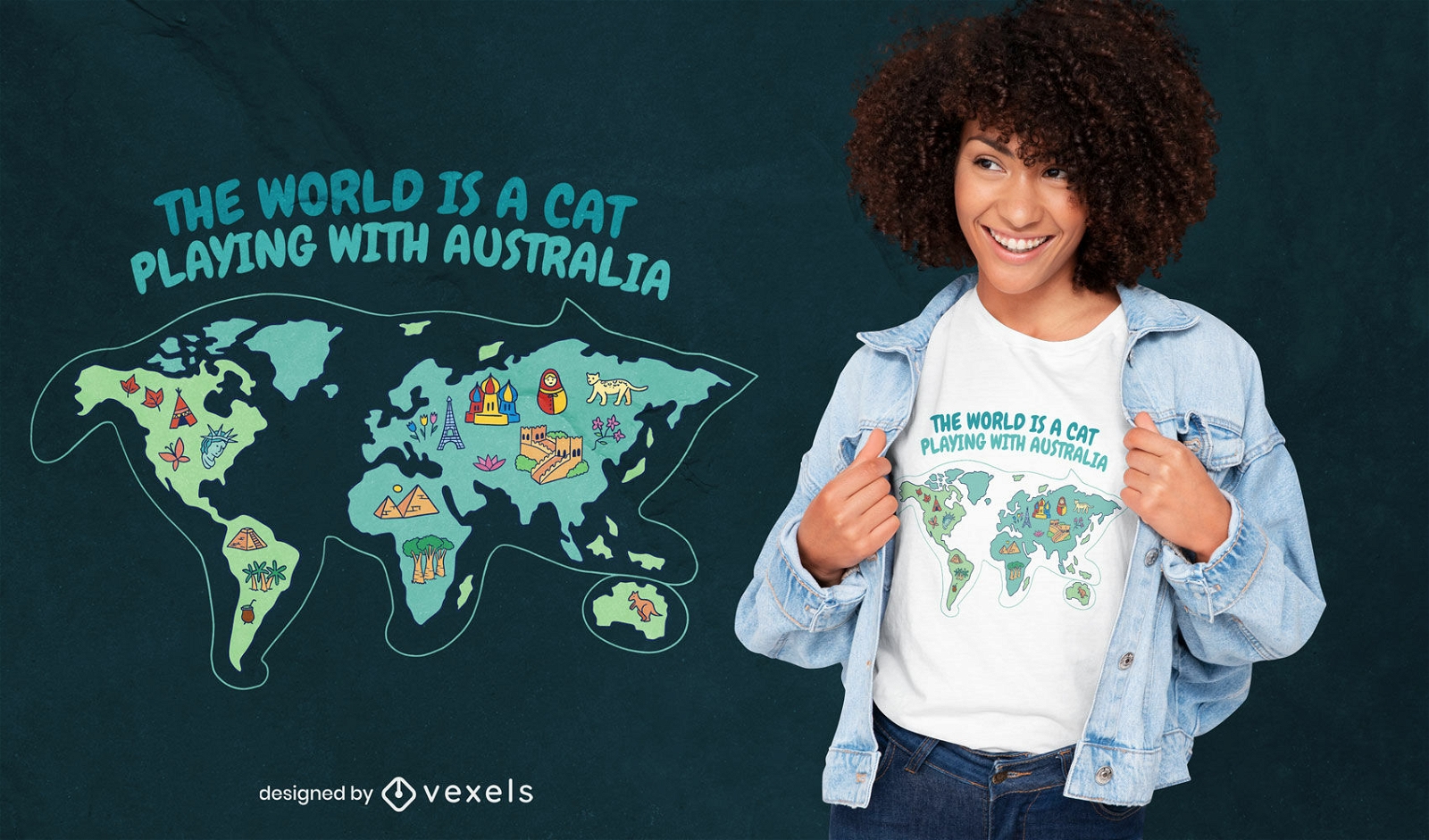
Cat playing with australia t-shirt design
Choose a folder
All favorites
Create new
Save
Cat playing with australia t-shirt design
22 United kingdom icons
Choose a folder
All favorites
Create new
Save
22 United kingdom icons
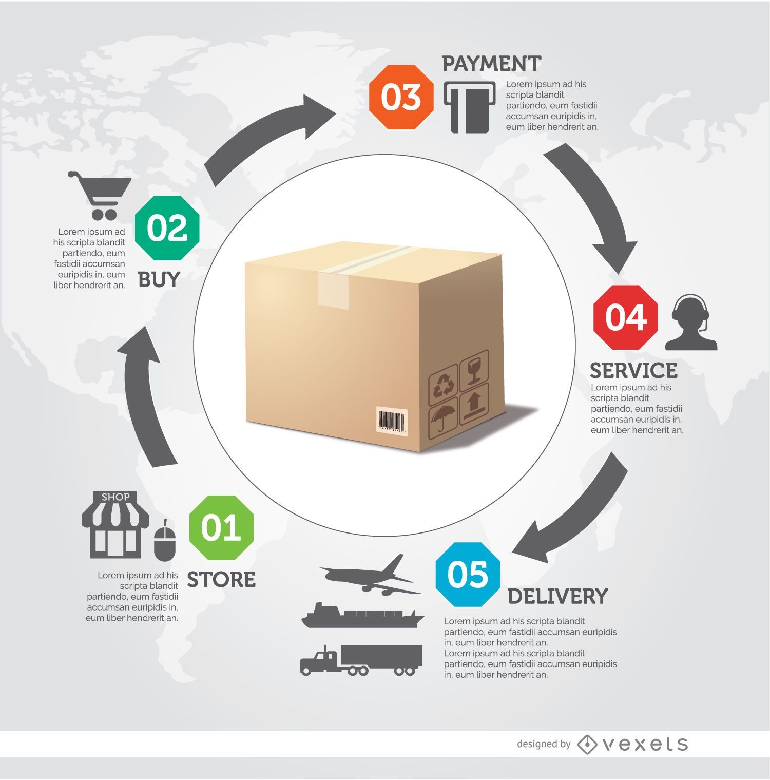
Delivery process infographic
Choose a folder
All favorites
Create new
Save
Delivery process infographic
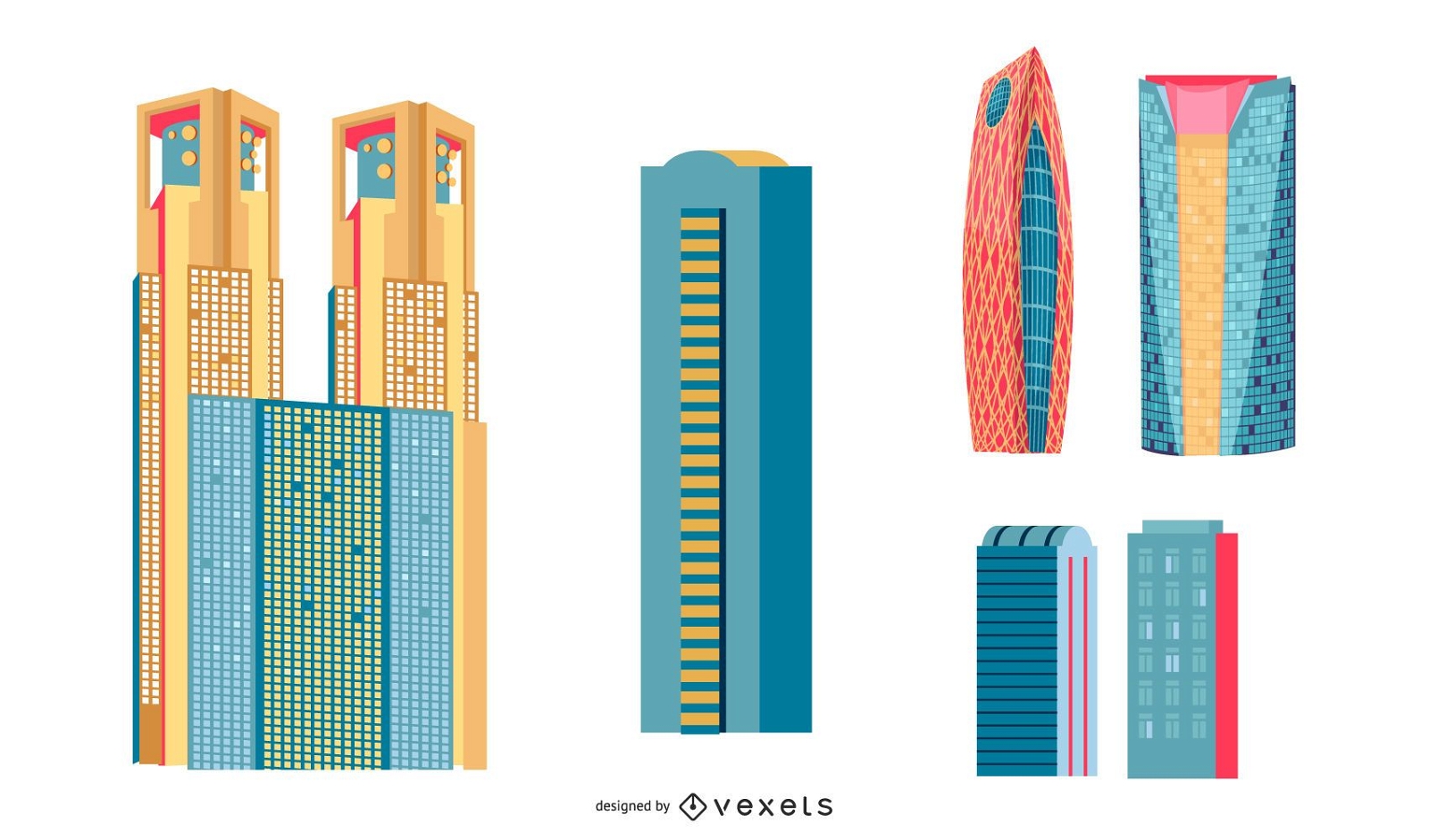
Japanese Buildings
Choose a folder
All favorites
Create new
Save
Japanese Buildings
Print ready
for Merch
Australia flag t-shirt design
Choose a folder
All favorites
Create new
Save
Australia flag t-shirt design
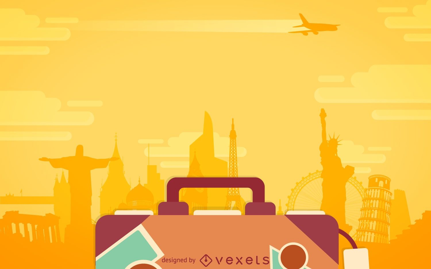
Flat travel luggage backdrop
Choose a folder
All favorites
Create new
Save
Flat travel luggage backdrop
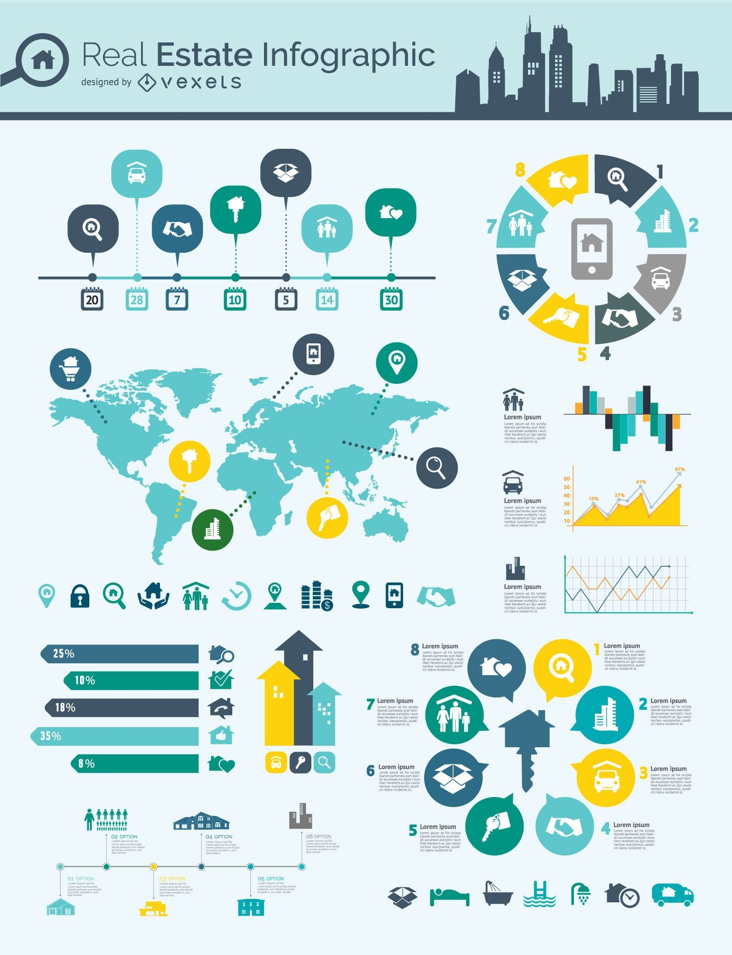
Real estate infographic mindmap
Choose a folder
All favorites
Create new
Save
Real estate infographic mindmap
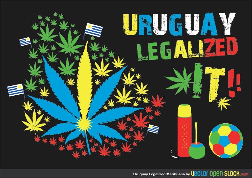
Uruaguay Legalized Marihuana
Choose a folder
All favorites
Create new
Save
Uruaguay Legalized Marihuana
Editable text
Print ready
for Merch
Greek island Corfu t-shirt design
Choose a folder
All favorites
Create new
Save
Greek island Corfu t-shirt design
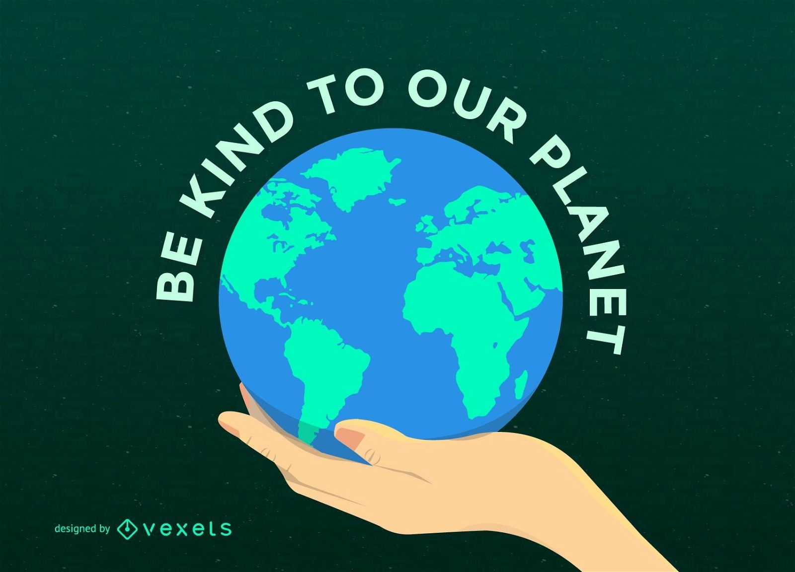
Earth Day Planet on Hand
Choose a folder
All favorites
Create new
Save
Earth Day Planet on Hand
Print ready
for Merch
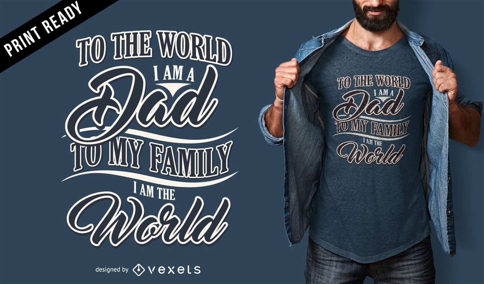
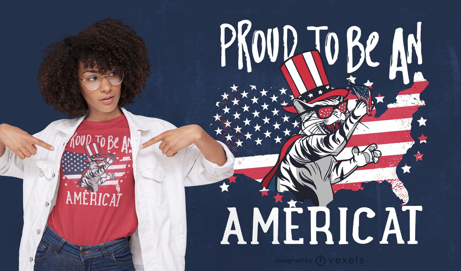
American cat quote t-shirt design
Choose a folder
All favorites
Create new
Save
American cat quote t-shirt design
Modern Earth Background Design
Choose a folder
All favorites
Create new
Save
Modern Earth Background Design
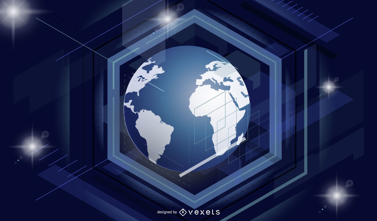
Waving Lines with Globe Blue Business Background
Choose a folder
All favorites
Create new
Save
Waving Lines with Globe Blue Business Background
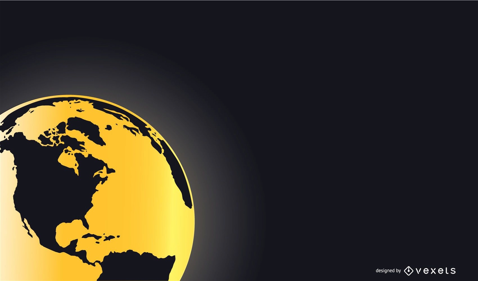
Black Golden Business Background with Globe
Choose a folder
All favorites
Create new
Save
Black Golden Business Background with Globe
Print ready
for Merch
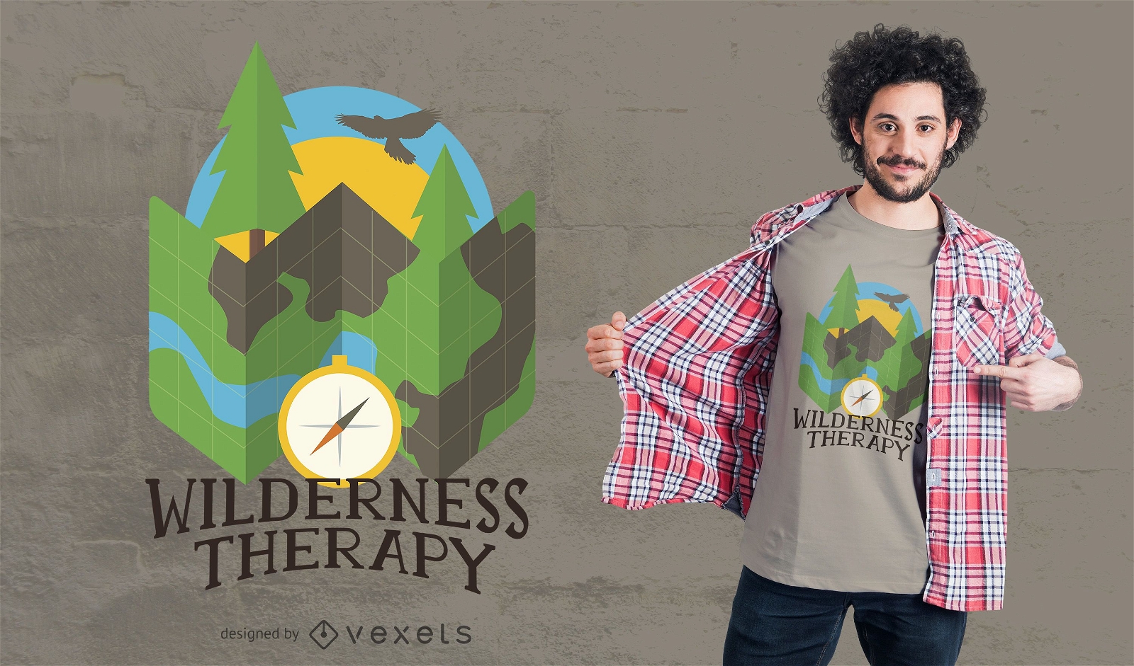
Wilderness Camping T-Shirt Design
Choose a folder
All favorites
Create new
Save
Wilderness Camping T-Shirt Design
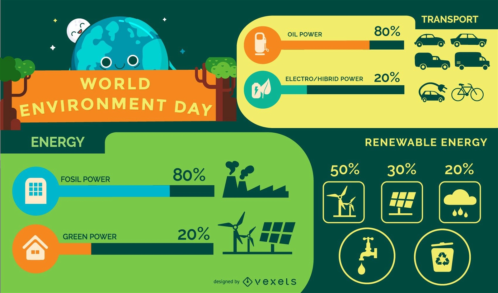
Green World Ecology Minimal Infographic
Choose a folder
All favorites
Create new
Save
Green World Ecology Minimal Infographic
Boost Your Business
With The Leading Graphic Platform For Merch.
SEE PLANS
Next
of 17
prev page
next page