Design Library
New Merch Designs
T-Shirts
Vectors
Trending Merch Designs
PNGs & SVGs
Mockups
T-Shirt PSD Templates
Explore Designs
KDP Designs
Posters
Mugs
Phone Cases
Tote Bags
Pillows
Design Tools
Merch Designer
New!
Mockup Generator
AI Design Generator
Image Vectorizer
Quote Generator
T-Shirt Maker (Old)
Resources
Merch Digest
Blog
Help Center
Learn About Merch
Feedback
Corporate Solutions
Enterprise
API Access
Design Studio
Bulk Design Production
Pricing
Loading...
Sign Up
Login
All
maps
Design Library
New Merch Designs
T-Shirts
Vectors
Trending Merch Designs
PNGs & SVGs
Mockups
T-Shirt PSD Templates
Explore Designs
KDP Designs
Posters
Mugs
Phone Cases
Tote Bags
Pillows
Design Tools
Merch Designer
New!
Mockup Generator
AI Design Generator
Image Vectorizer
Quote Generator
T-Shirt Maker (Old)
Resources
Merch Digest
Blog
Help Center
Learn About Merch
Feedback
Corporate Solutions
Enterprise
API Access
Design Studio
Bulk Design Production
PLANS
All
maps
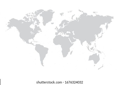
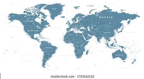
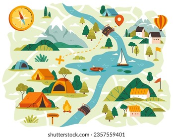
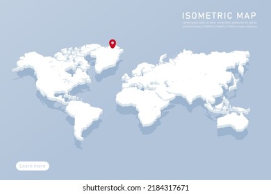
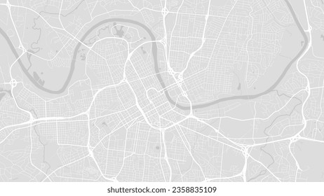
5260 maps Graphics and Designs
Maps Graphics to download
Related:
world maps
,
base maps
,
world livestock maps
Sort by
Most relevant
Sponsored results by
Get 15% off with code: VEXELS15
Show more
Ohio usa map silhouette PNG Design
Choose a folder
All favorites
Create new
Save
Ohio usa map silhouette PNG Design
Premium
Germany national flag PNG Design
Choose a folder
All favorites
Create new
Save
Germany national flag PNG Design
Premium
Iceland national flag PNG Design
Choose a folder
All favorites
Create new
Save
Iceland national flag PNG Design
Premium
Panama national flag PNG Design
Choose a folder
All favorites
Create new
Save
Panama national flag PNG Design
Premium
United kingdom national flag PNG Design
Choose a folder
All favorites
Create new
Save
United kingdom national flag PNG Design
Premium
Italy Flag Elements Pack
Choose a folder
All favorites
Create new
Save
Italy Flag Elements Pack
Premium
Honduras national flag PNG Design
Choose a folder
All favorites
Create new
Save
Honduras national flag PNG Design
Premium
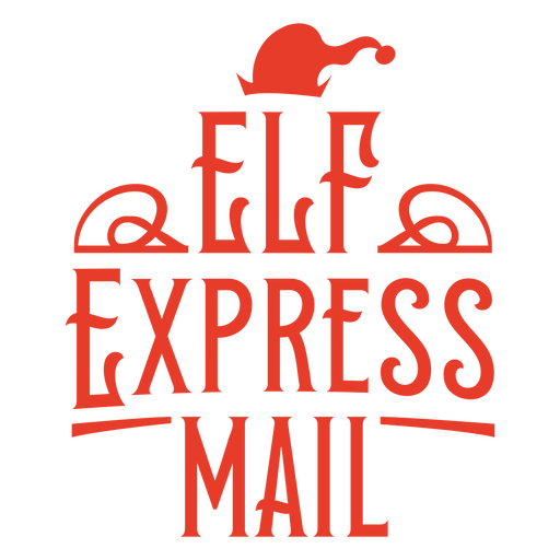
Elf express mail PNG Design
Choose a folder
All favorites
Create new
Save
Elf express mail PNG Design
Premium
Photo camera digital picture PNG Design
Choose a folder
All favorites
Create new
Save
Photo camera digital picture PNG Design
Premium
Merry christmas red design PNG Design
Choose a folder
All favorites
Create new
Save
Merry christmas red design PNG Design
Premium
Merry christmas, cowgirl! design PNG Design
Choose a folder
All favorites
Create new
Save
Merry christmas, cowgirl! design PNG Design
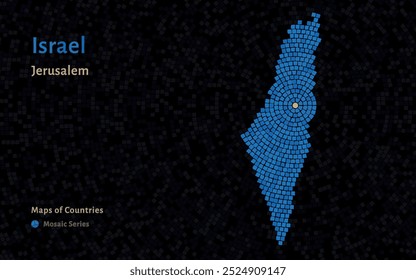
Indonesia administrative map graphic
Choose a folder
All favorites
Create new
Save
Indonesia administrative map graphic
Premium
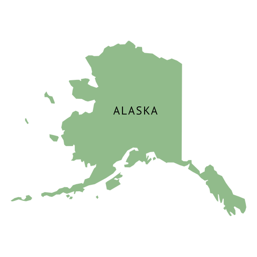
Alaska state plain map PNG Design
Choose a folder
All favorites
Create new
Save
Alaska state plain map PNG Design
Premium
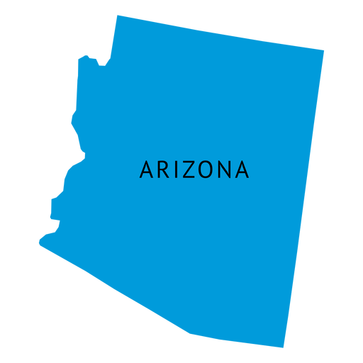
Arizona state plain map PNG Design
Choose a folder
All favorites
Create new
Save
Arizona state plain map PNG Design
Premium
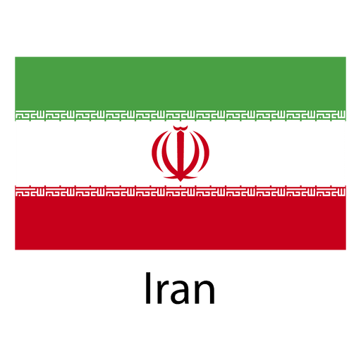
Iran national flag PNG Design
Choose a folder
All favorites
Create new
Save
Iran national flag PNG Design
Premium
DUPLICADO Ice cream t-shirt design PNG Design
Choose a folder
All favorites
Create new
Save
DUPLICADO Ice cream t-shirt design PNG Design
Premium
Australia national flag PNG Design
Choose a folder
All favorites
Create new
Save
Australia national flag PNG Design
Premium
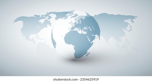
Grid on globe icon PNG Design
Choose a folder
All favorites
Create new
Save
Grid on globe icon PNG Design
Premium
India national flag PNG Design
Choose a folder
All favorites
Create new
Save
India national flag PNG Design
Edit Online
Playful balloon dog love yourself design t-shirt design template
Choose a folder
All favorites
Create new
Save
Playful balloon dog love yourself design t-shirt design template
Premium
Virginia state plain map PNG Design
Choose a folder
All favorites
Create new
Save
Virginia state plain map PNG Design
Premium
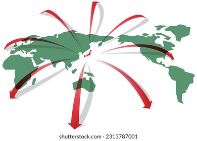
Japan national flag PNG Design
Choose a folder
All favorites
Create new
Save
Japan national flag PNG Design
Premium
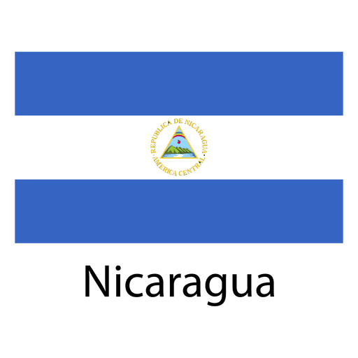
Nicaragua national flag PNG Design
Choose a folder
All favorites
Create new
Save
Nicaragua national flag PNG Design
Premium
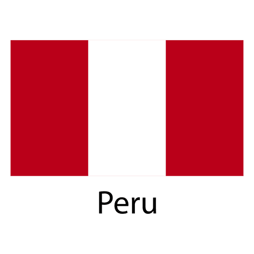
Peru national flag PNG Design
Choose a folder
All favorites
Create new
Save
Peru national flag PNG Design
Premium
Heartfelt chosen family love design PNG Design
Choose a folder
All favorites
Create new
Save
Heartfelt chosen family love design PNG Design
Premium
Nature-inspired design PNG Design
Choose a folder
All favorites
Create new
Save
Nature-inspired design PNG Design
Premium
DUPLICADO Romantic heart quote t-shirt design PNG Design
Choose a folder
All favorites
Create new
Save
DUPLICADO Romantic heart quote t-shirt design PNG Design
Premium
Christmas green lettering PNG Design
Choose a folder
All favorites
Create new
Save
Christmas green lettering PNG Design
Premium
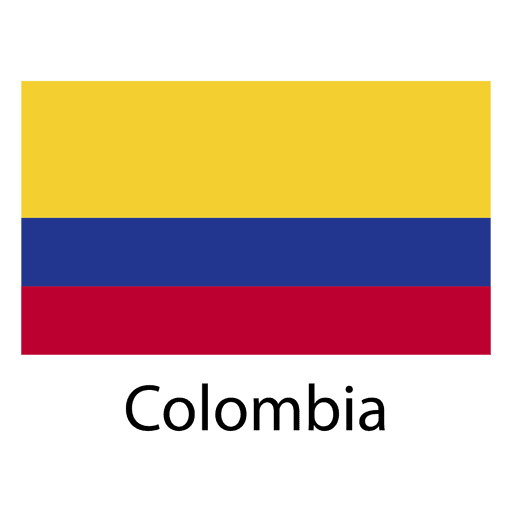
Colombia national flag PNG Design
Choose a folder
All favorites
Create new
Save
Colombia national flag PNG Design
Premium
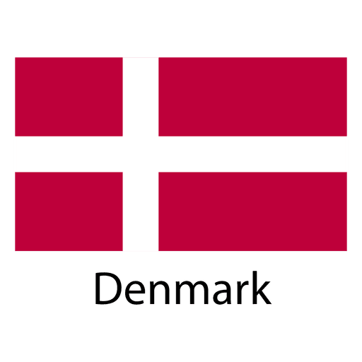
Denmark national flag PNG Design
Choose a folder
All favorites
Create new
Save
Denmark national flag PNG Design
Premium
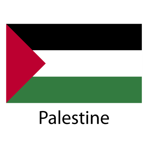
Palestine national flag PNG Design
Choose a folder
All favorites
Create new
Save
Palestine national flag PNG Design
Premium
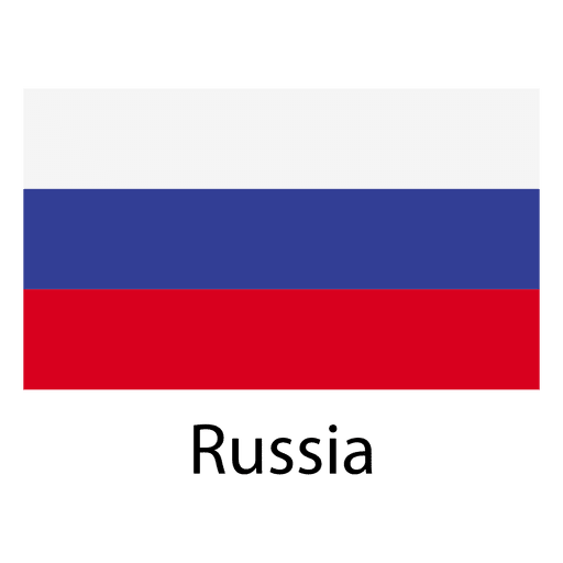
Russia national flag PNG Design
Choose a folder
All favorites
Create new
Save
Russia national flag PNG Design
Premium
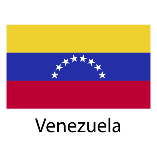
Venezuela national flag PNG Design
Choose a folder
All favorites
Create new
Save
Venezuela national flag PNG Design
Premium
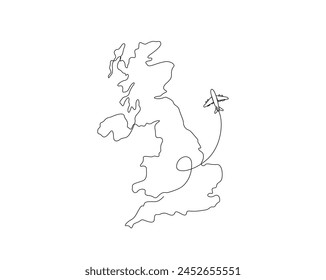
Stylized uk map design with flag elements PNG Design
Choose a folder
All favorites
Create new
Save
Stylized uk map design with flag elements PNG Design
Premium
Whimsical comet emblem with antler motifs PNG Design
Choose a folder
All favorites
Create new
Save
Whimsical comet emblem with antler motifs PNG Design
Vintage ohio tag design with state outline PNG Design
Choose a folder
All favorites
Create new
Save
Vintage ohio tag design with state outline PNG Design
Louisiana state travel tag design featuring new orleans and baton rouge PNG Design
Choose a folder
All favorites
Create new
Save
Louisiana state travel tag design featuring new orleans and baton rouge PNG Design
Premium
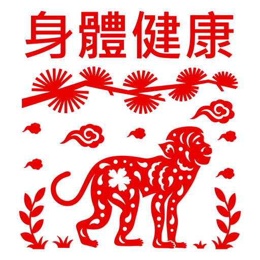
Vibrant monkey health graphic PNG Design
Choose a folder
All favorites
Create new
Save
Vibrant monkey health graphic PNG Design
Premium
Green mushroom design PNG Design
Choose a folder
All favorites
Create new
Save
Green mushroom design PNG Design
Premium
Christmas cheer green design PNG Design
Choose a folder
All favorites
Create new
Save
Christmas cheer green design PNG Design
Premium
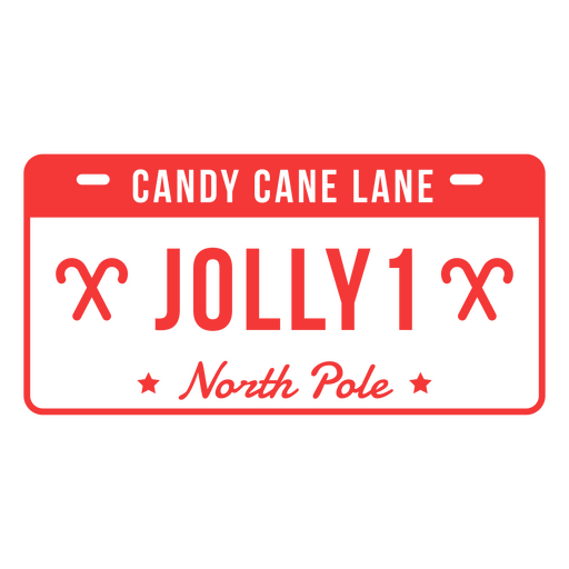
Candy cane lane jolly 1 north pole design PNG Design
Choose a folder
All favorites
Create new
Save
Candy cane lane jolly 1 north pole design PNG Design
Premium
Damaged ribbon simple red PNG Design
Choose a folder
All favorites
Create new
Save
Damaged ribbon simple red PNG Design
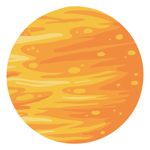
Planet venus illustration PNG Design
Choose a folder
All favorites
Create new
Save
Planet venus illustration PNG Design
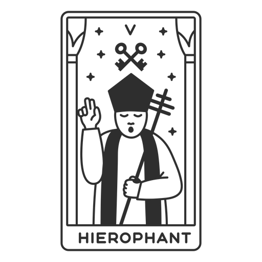
Tarot card hierophant filled stroke PNG Design
Choose a folder
All favorites
Create new
Save
Tarot card hierophant filled stroke PNG Design
Quetzal guatemala flat PNG Design
Choose a folder
All favorites
Create new
Save
Quetzal guatemala flat PNG Design
Premium
Usa flag language icon circle PNG Design
Choose a folder
All favorites
Create new
Save
Usa flag language icon circle PNG Design
Premium
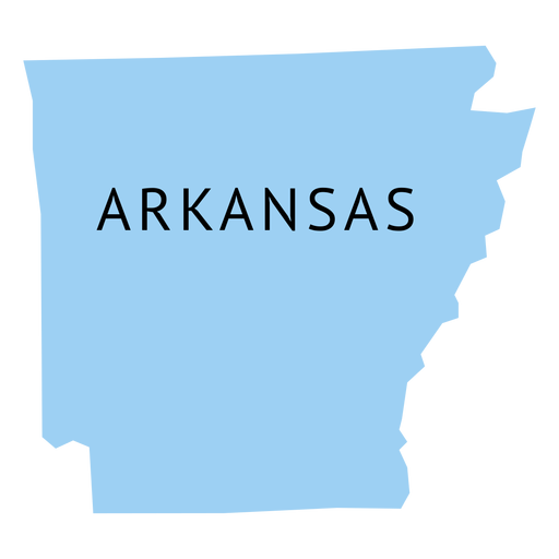
Arkansas state plain map PNG Design
Choose a folder
All favorites
Create new
Save
Arkansas state plain map PNG Design
Premium
Austria national flag PNG Design
Choose a folder
All favorites
Create new
Save
Austria national flag PNG Design
Premium
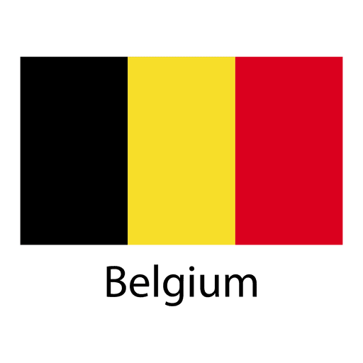
Belgium national flag PNG Design
Choose a folder
All favorites
Create new
Save
Belgium national flag PNG Design
Premium
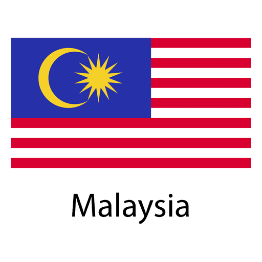
Malaysia national flag PNG Design
Choose a folder
All favorites
Create new
Save
Malaysia national flag PNG Design
Boost Your Business
With The Leading Graphic Platform For Merch.
SEE PLANS
Next
of 106
prev page
next page