Design Library
New Merch Designs
T-Shirts
Vectors
Trending Merch Designs
PNGs & SVGs
Mockups
T-Shirt PSD Templates
Explore Designs
KDP Designs
Posters
Mugs
Phone Cases
Tote Bags
Pillows
Design Tools
Merch Designer
New!
Mockup Generator
AI Design Generator
Image Vectorizer
Quote Generator
T-Shirt Maker (Old)
Resources
Merch Digest
Blog
Help Center
Learn About Merch
Feedback
Corporate Solutions
Enterprise
API Access
Design Studio
Bulk Design Production
Pricing
Loading...
Sign Up
Login
All
map
Design Library
New Merch Designs
T-Shirts
Vectors
Trending Merch Designs
PNGs & SVGs
Mockups
T-Shirt PSD Templates
Explore Designs
KDP Designs
Posters
Mugs
Phone Cases
Tote Bags
Pillows
Design Tools
Merch Designer
New!
Mockup Generator
AI Design Generator
Image Vectorizer
Quote Generator
T-Shirt Maker (Old)
Resources
Merch Digest
Blog
Help Center
Learn About Merch
Feedback
Corporate Solutions
Enterprise
API Access
Design Studio
Bulk Design Production
PLANS
All
map
1906 map designs graphics for t-shirt and print on demand merch
Download map t-shirt designs and other merch graphics like book covers, phone cases, tote bags and more.
Related:
world map
,
map silhouette
Sort by
Most relevant
Sponsored results by
Get 15% off with code: VEXELS15
Show more
AI generated, curated by our designers
for Merch
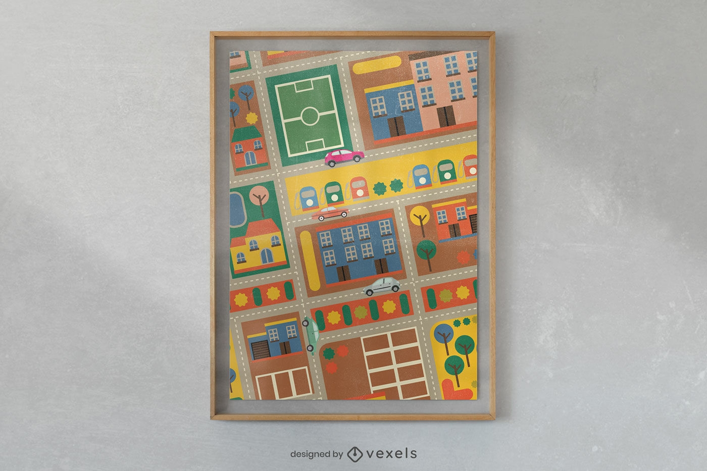
Colorful urban sketch poster design
Choose a folder
All favorites
Create new
Save
Colorful urban sketch poster design
Premium
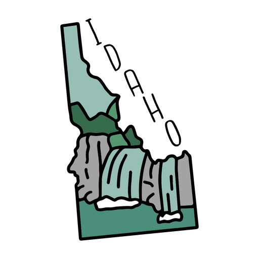
The state of idaho sticker PNG Design
Choose a folder
All favorites
Create new
Save
The state of idaho sticker PNG Design
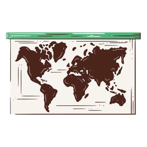
Planisphere hand drawn element PNG Design
Choose a folder
All favorites
Create new
Save
Planisphere hand drawn element PNG Design
US Republican elephant badge
Choose a folder
All favorites
Create new
Save
US Republican elephant badge
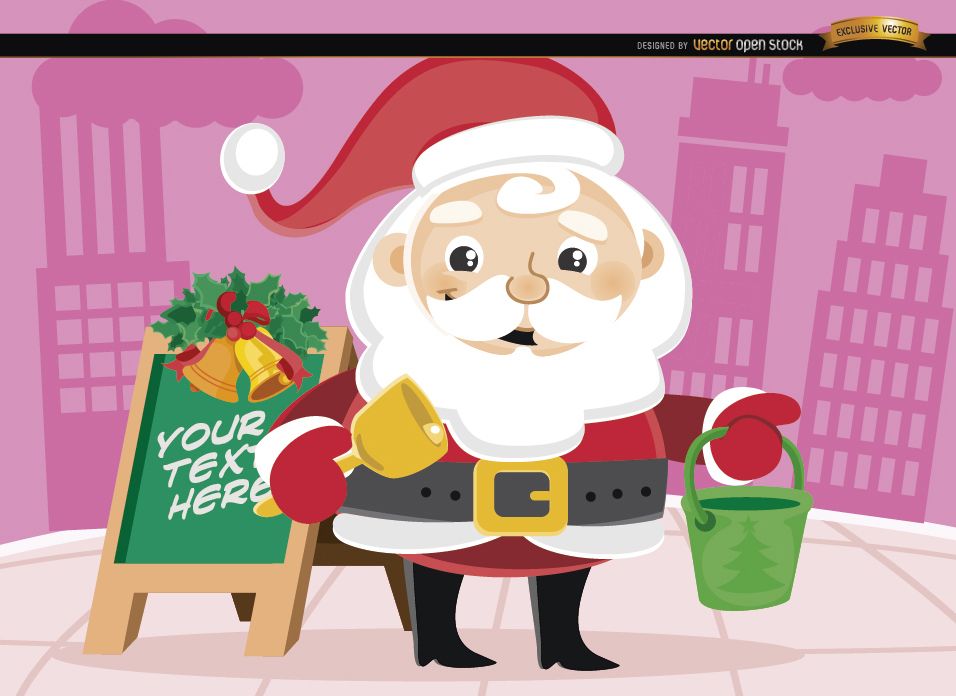
Santa Claus Christmas bucket in street
Choose a folder
All favorites
Create new
Save
Santa Claus Christmas bucket in street
Premium
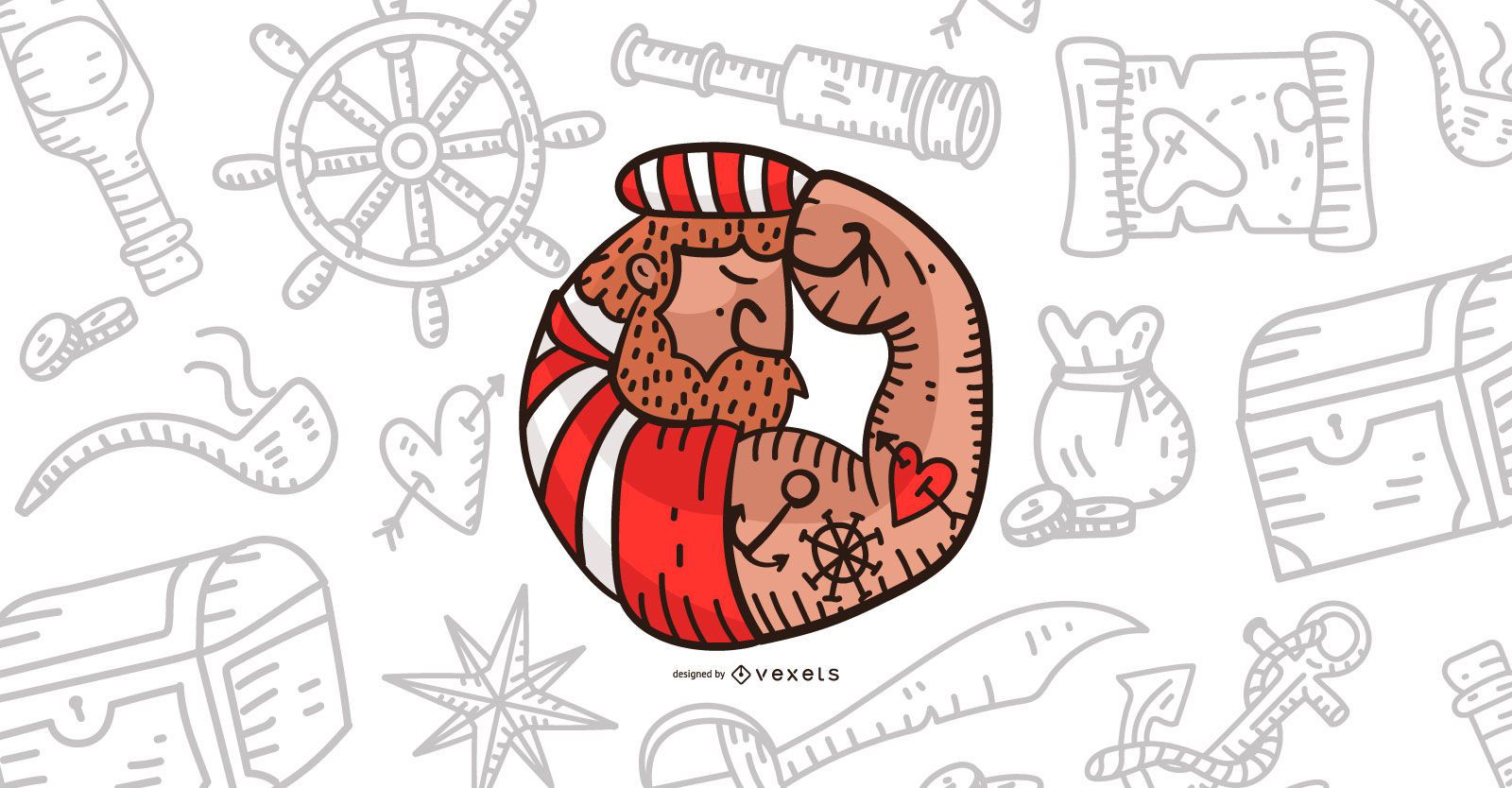
Pirate illustration design
Choose a folder
All favorites
Create new
Save
Pirate illustration design
Premium
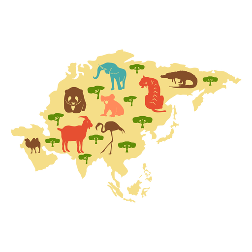
Asia continent illustration PNG Design
Choose a folder
All favorites
Create new
Save
Asia continent illustration PNG Design
Premium
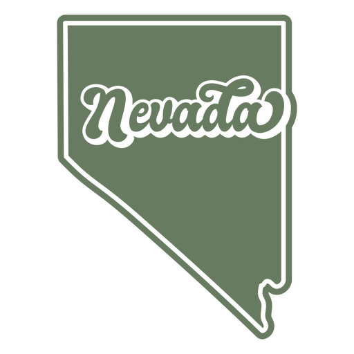
The state of nevada on a green background PNG Design
Choose a folder
All favorites
Create new
Save
The state of nevada on a green background PNG Design
Notebook location flat icon PNG Design
Choose a folder
All favorites
Create new
Save
Notebook location flat icon PNG Design
Premium
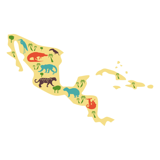
Central america illustration PNG Design
Choose a folder
All favorites
Create new
Save
Central america illustration PNG Design
Premium
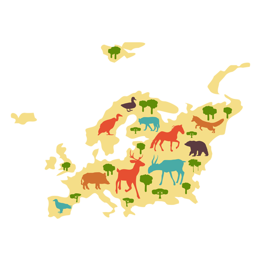
Europe illustration PNG Design
Choose a folder
All favorites
Create new
Save
Europe illustration PNG Design
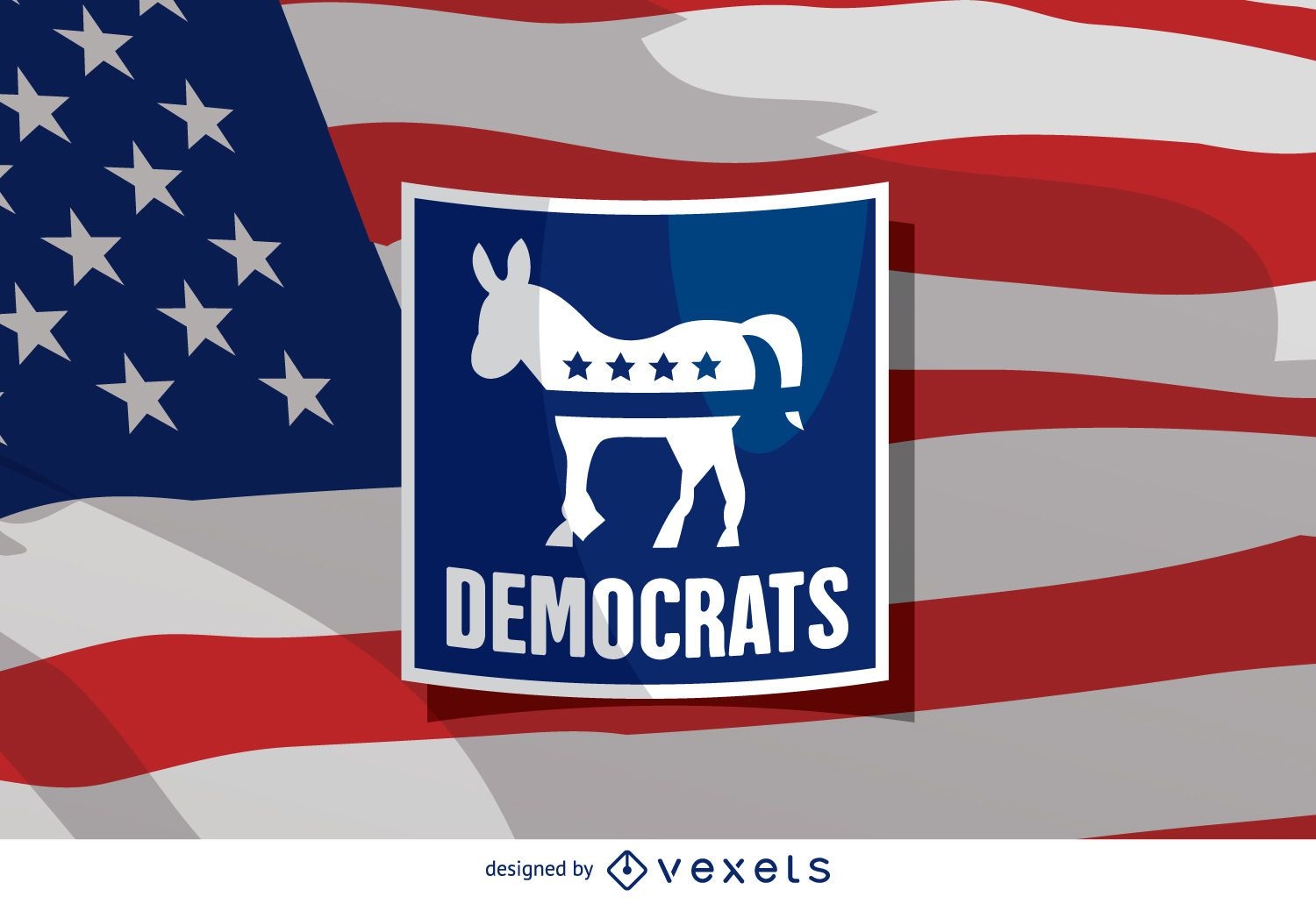
US election Democrat donkey
Choose a folder
All favorites
Create new
Save
US election Democrat donkey
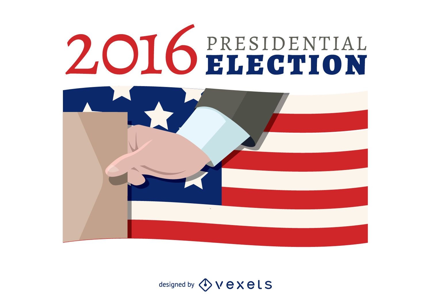
2016 election voting banner
Choose a folder
All favorites
Create new
Save
2016 election voting banner
Premium
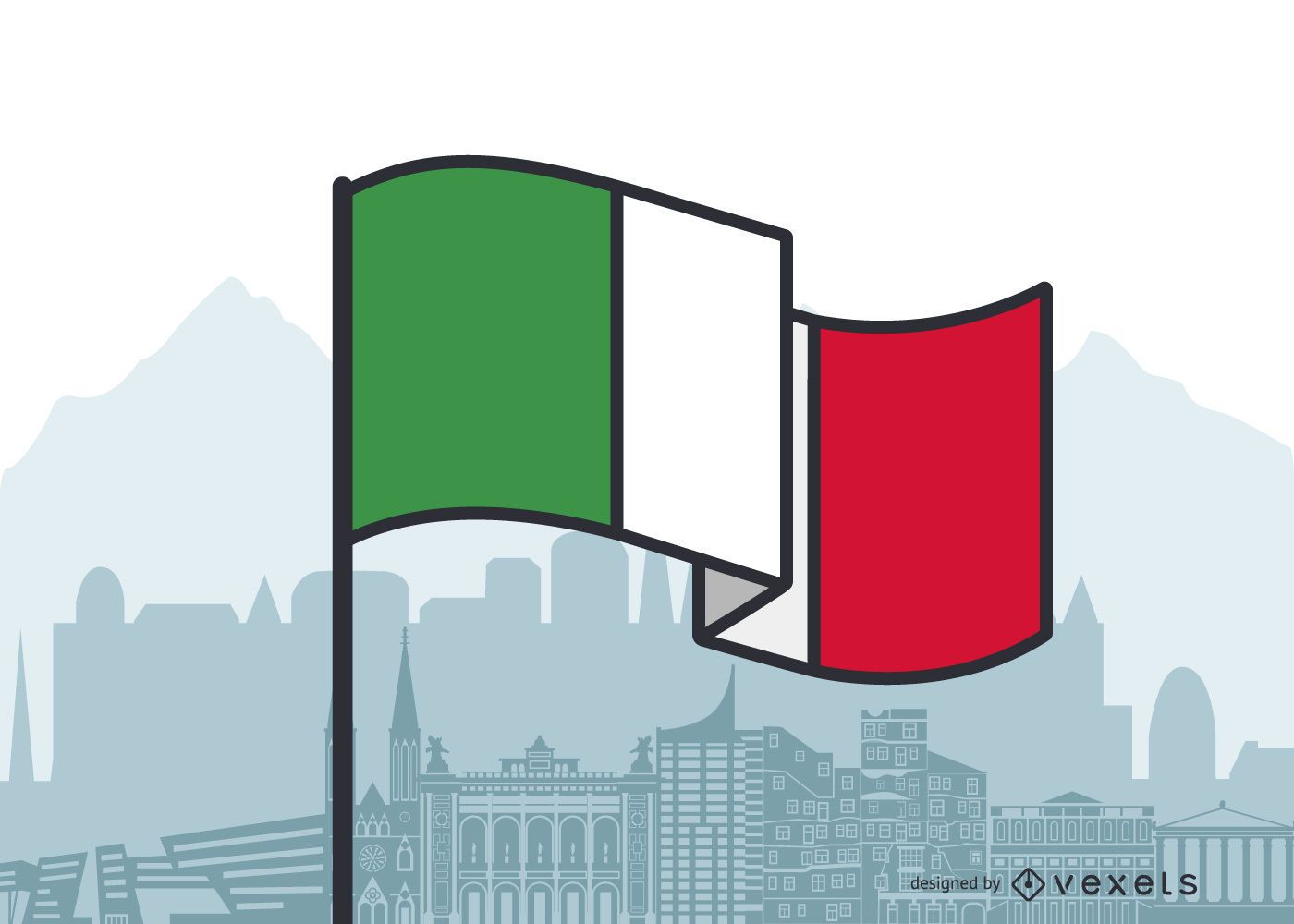
Italy Waving Flag Flat Design
Choose a folder
All favorites
Create new
Save
Italy Waving Flag Flat Design
Premium
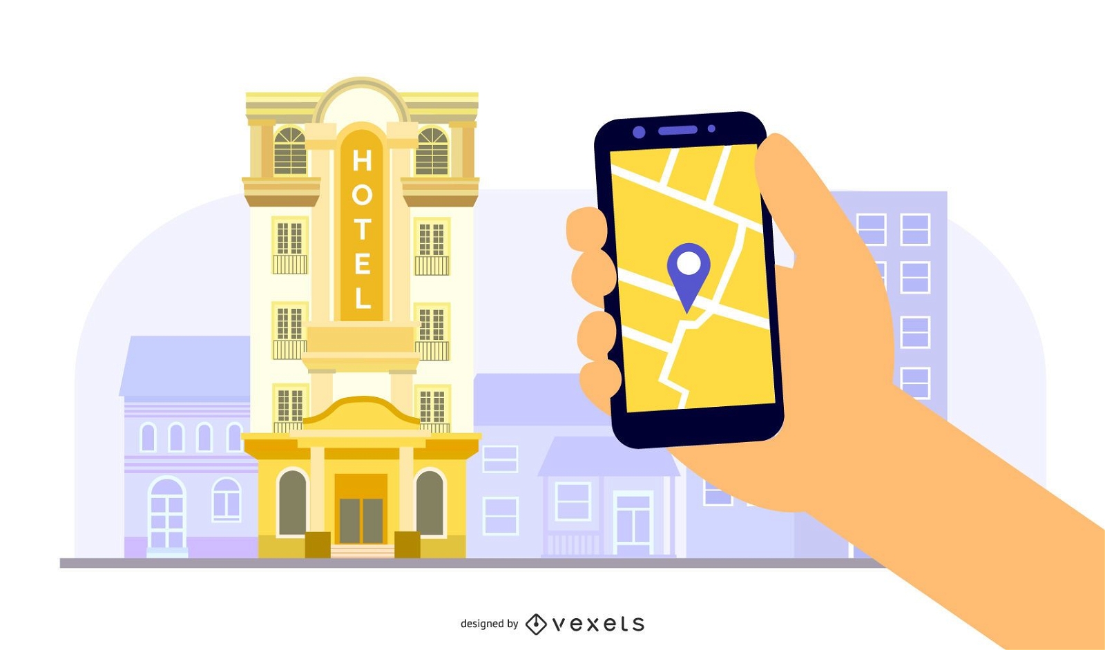
Hotel Building App Illustration
Choose a folder
All favorites
Create new
Save
Hotel Building App Illustration
Treasure textured icon PNG Design
Choose a folder
All favorites
Create new
Save
Treasure textured icon PNG Design
Typical scheme doodle PNG Design
Choose a folder
All favorites
Create new
Save
Typical scheme doodle PNG Design
Premium
Compass arrow east nord west south stroke PNG Design
Choose a folder
All favorites
Create new
Save
Compass arrow east nord west south stroke PNG Design
Premium
Artistic usa flag silhouette design PNG Design
Choose a folder
All favorites
Create new
Save
Artistic usa flag silhouette design PNG Design
Notebook location stroke icon PNG Design
Choose a folder
All favorites
Create new
Save
Notebook location stroke icon PNG Design
Premium
Hand drawn sextant PNG Design
Choose a folder
All favorites
Create new
Save
Hand drawn sextant PNG Design
Premium
Stylized globe and airplane travel illustration PNG Design
Choose a folder
All favorites
Create new
Save
Stylized globe and airplane travel illustration PNG Design
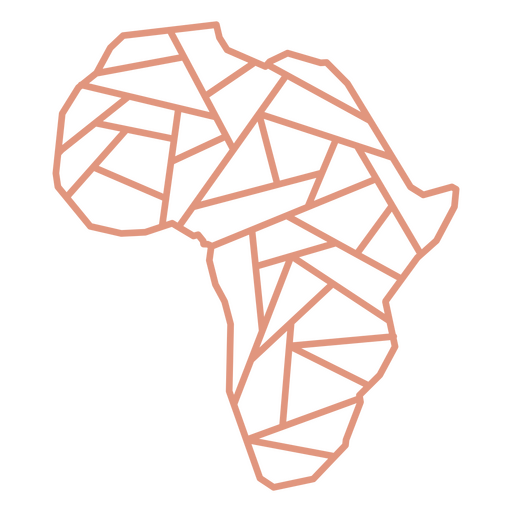
Africa contour stroke PNG Design
Choose a folder
All favorites
Create new
Save
Africa contour stroke PNG Design
Premium
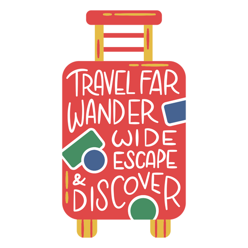
Travel far wander wide escape suitcase PNG Design
Choose a folder
All favorites
Create new
Save
Travel far wander wide escape suitcase PNG Design
Premium
Pink and white globe PNG Design
Choose a folder
All favorites
Create new
Save
Pink and white globe PNG Design
Premium
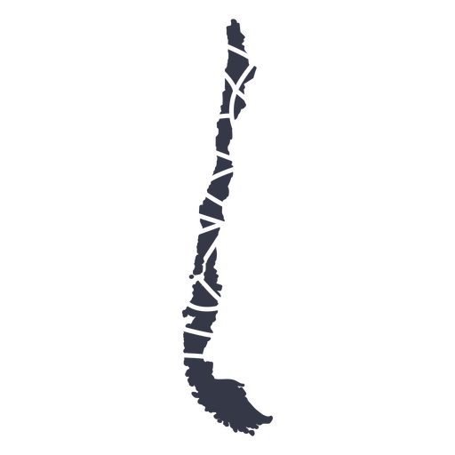
Chile's mandala style PNG Design
Choose a folder
All favorites
Create new
Save
Chile's mandala style PNG Design
Premium
Norway waving flag stroke PNG Design
Choose a folder
All favorites
Create new
Save
Norway waving flag stroke PNG Design
Premium
independence day labels designs
Choose a folder
All favorites
Create new
Save
independence day labels designs
Premium
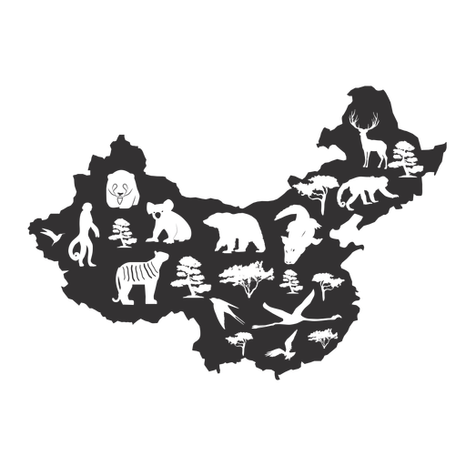
China silhouette PNG Design
Choose a folder
All favorites
Create new
Save
China silhouette PNG Design
Premium
Starry pattern design PNG Design
Choose a folder
All favorites
Create new
Save
Starry pattern design PNG Design
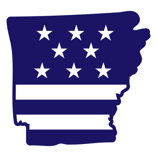
Arkansas filled stroke PNG Design
Choose a folder
All favorites
Create new
Save
Arkansas filled stroke PNG Design
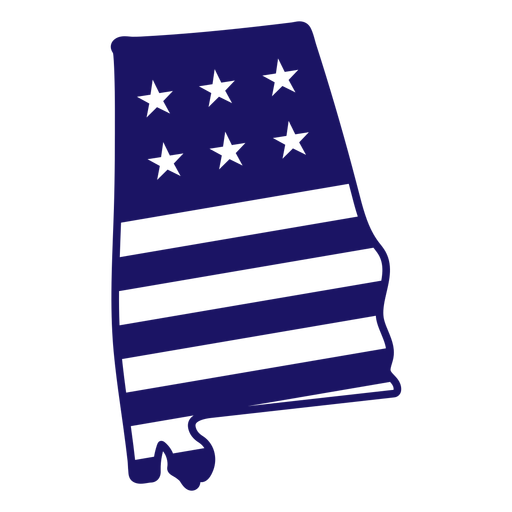
Alabama filled stroke PNG Design
Choose a folder
All favorites
Create new
Save
Alabama filled stroke PNG Design
Liberty cut out PNG Design
Choose a folder
All favorites
Create new
Save
Liberty cut out PNG Design
Love USA cut out PNG Design
Choose a folder
All favorites
Create new
Save
Love USA cut out PNG Design
USA liberty badge cut out PNG Design
Choose a folder
All favorites
Create new
Save
USA liberty badge cut out PNG Design
USA love badge cut out PNG Design
Choose a folder
All favorites
Create new
Save
USA love badge cut out PNG Design
USA badge cut out PNG Design
Choose a folder
All favorites
Create new
Save
USA badge cut out PNG Design
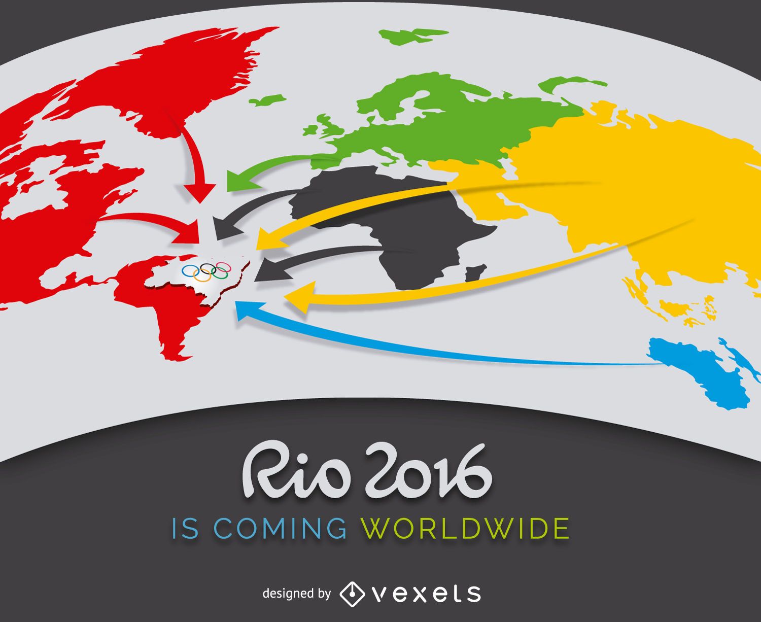
Rio 2016 advertising
Choose a folder
All favorites
Create new
Save
Rio 2016 advertising
Letters Plate Design Vector
Choose a folder
All favorites
Create new
Save
Letters Plate Design Vector
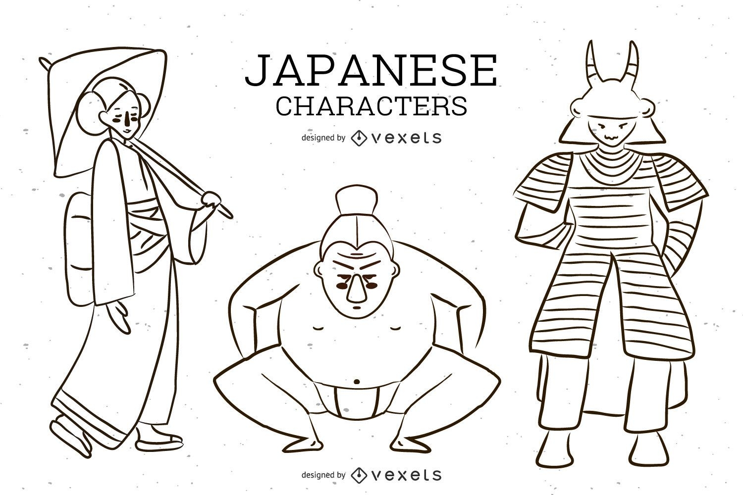
Japanese Character Vector
Choose a folder
All favorites
Create new
Save
Japanese Character Vector
Live Breaking News header image
Choose a folder
All favorites
Create new
Save
Live Breaking News header image
Edit Online
Elegant sydney architectural illustration t-shirt design template
Choose a folder
All favorites
Create new
Save
Elegant sydney architectural illustration t-shirt design template
Cryptocurrency header design
Choose a folder
All favorites
Create new
Save
Cryptocurrency header design
Print ready
for Merch
USA lettering tshirt design
Choose a folder
All favorites
Create new
Save
USA lettering tshirt design
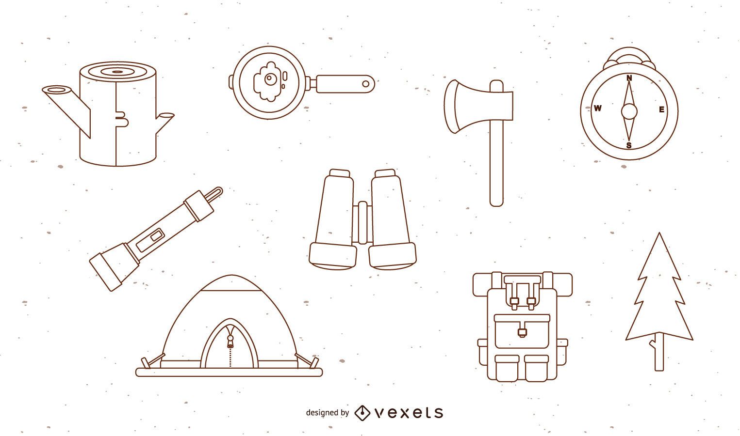
Free Vector Camping Set
Choose a folder
All favorites
Create new
Save
Free Vector Camping Set
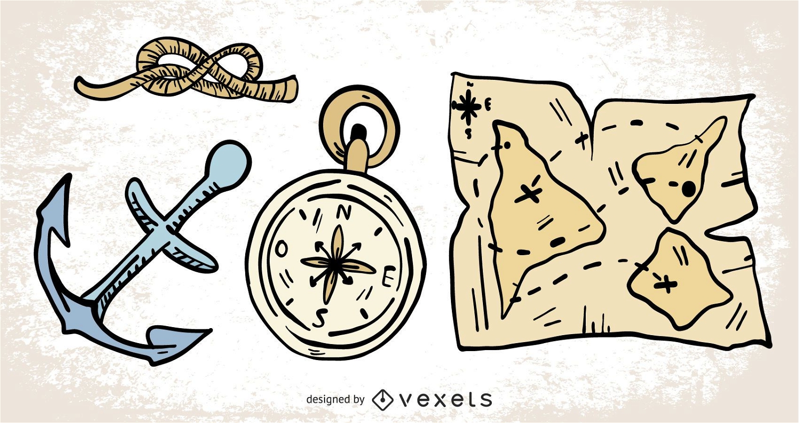
Hand Drawn Sailing Navigation Elements
Choose a folder
All favorites
Create new
Save
Hand Drawn Sailing Navigation Elements
for Merch
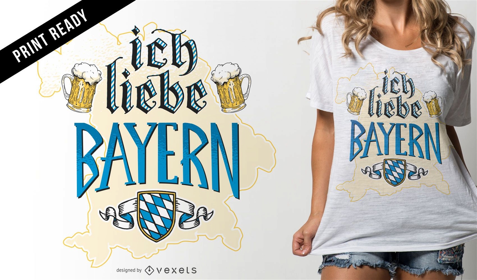
Ich liebe Bayern t-shirt design
Choose a folder
All favorites
Create new
Save
Ich liebe Bayern t-shirt design
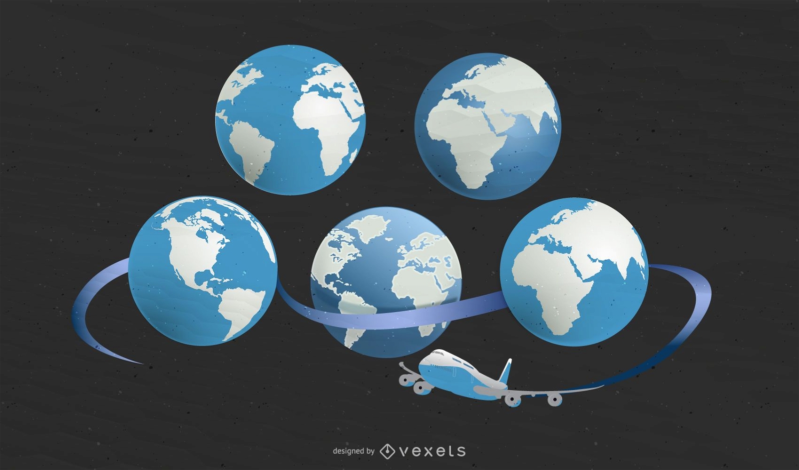
5 Earth maps with plane
Choose a folder
All favorites
Create new
Save
5 Earth maps with plane
for Merch
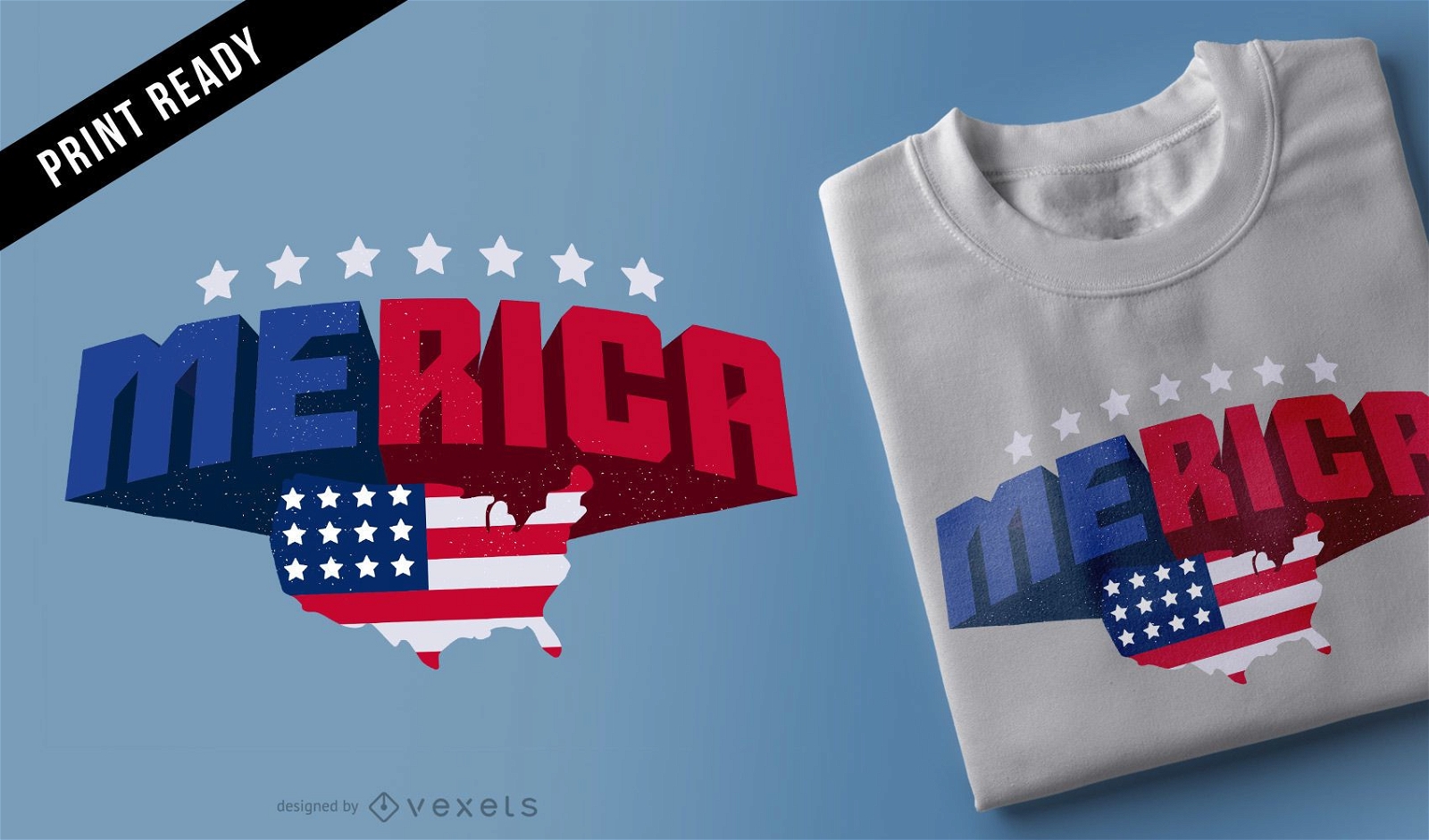
Merica t-shirt design
Choose a folder
All favorites
Create new
Save
Merica t-shirt design
Green Icons
Choose a folder
All favorites
Create new
Save
Green Icons
Boost Your Business
With The Leading Graphic Platform For Merch.
SEE PLANS
Next
of 39
prev page
next page