Design Library
New Merch Designs
T-Shirts
Vectors
Trending Merch Designs
PNGs & SVGs
Mockups
T-Shirt PSD Templates
Explore Designs
KDP Designs
Posters
Mugs
Phone Cases
Tote Bags
Pillows
Design Tools
Merch Designer
New!
Mockup Generator
AI Design Generator
Image Vectorizer
Quote Generator
T-Shirt Maker (Old)
Resources
Merch Digest
Blog
Help Center
Learn About Merch
Feedback
Corporate Solutions
Enterprise
API Access
Design Studio
Bulk Design Production
Pricing
Loading...
Sign Up
Login
All
map
Design Library
New Merch Designs
T-Shirts
Vectors
Trending Merch Designs
PNGs & SVGs
Mockups
T-Shirt PSD Templates
Explore Designs
KDP Designs
Posters
Mugs
Phone Cases
Tote Bags
Pillows
Design Tools
Merch Designer
New!
Mockup Generator
AI Design Generator
Image Vectorizer
Quote Generator
T-Shirt Maker (Old)
Resources
Merch Digest
Blog
Help Center
Learn About Merch
Feedback
Corporate Solutions
Enterprise
API Access
Design Studio
Bulk Design Production
PLANS
All
map
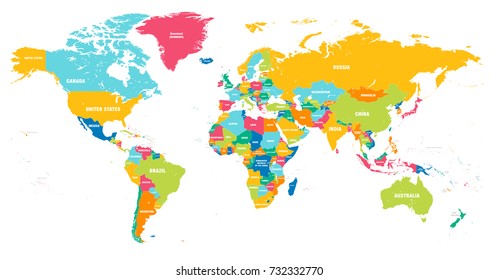
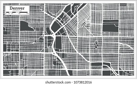
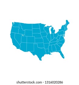
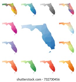
1905 map designs graphics for t-shirt and print on demand merch
Download map t-shirt designs and other merch graphics like book covers, phone cases, tote bags and more.
Related:
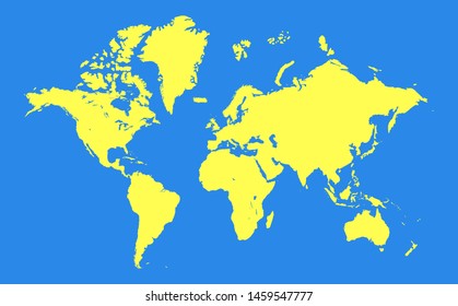
world map
,
map silhouette
Sort by
Most relevant
Sponsored results by
Get 15% off with code: VEXELS15
Show more
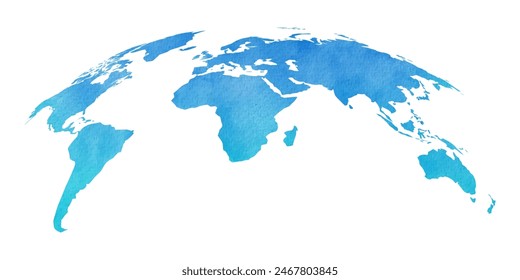
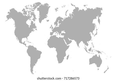
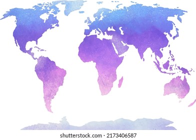
Cream worldmap silhouette
Choose a folder
All favorites
Create new
Save
Cream worldmap silhouette
AI generated, curated by our designers
for Merch
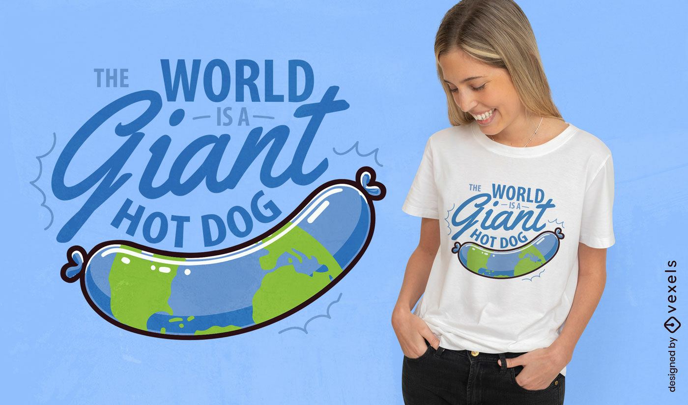
World hot dog humor t-shirt design
Choose a folder
All favorites
Create new
Save
World hot dog humor t-shirt design
Edit Online
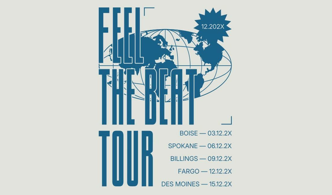
Tour poster design featuring the phrase 'feel the beat' t-shirt design template
Choose a folder
All favorites
Create new
Save
Tour poster design featuring the phrase 'feel the beat' t-shirt design template
Premium
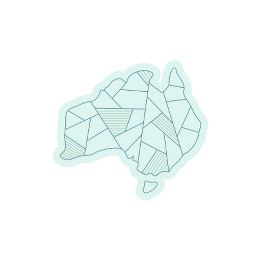
Abstract outline design of the australian continent for creative projects PNG Design
Choose a folder
All favorites
Create new
Save
Abstract outline design of the australian continent for creative projects PNG Design
Premium
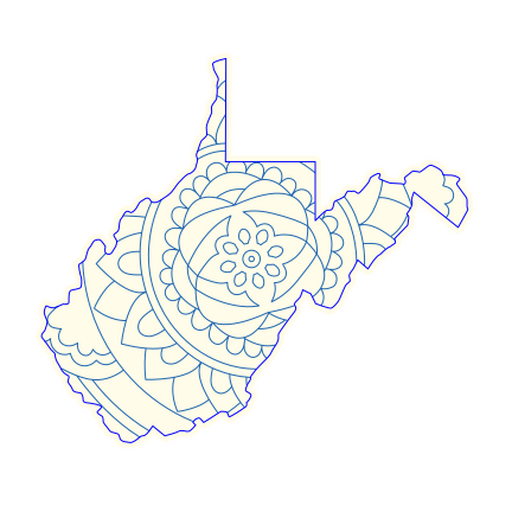
Intricate mandala map design of west virginia PNG Design
Choose a folder
All favorites
Create new
Save
Intricate mandala map design of west virginia PNG Design
Premium
Adventure awaits beyond the horizon design PNG Design
Choose a folder
All favorites
Create new
Save
Adventure awaits beyond the horizon design PNG Design
Premium
Stylized silhouette map of nigeria PNG Design
Choose a folder
All favorites
Create new
Save
Stylized silhouette map of nigeria PNG Design
Edit Online
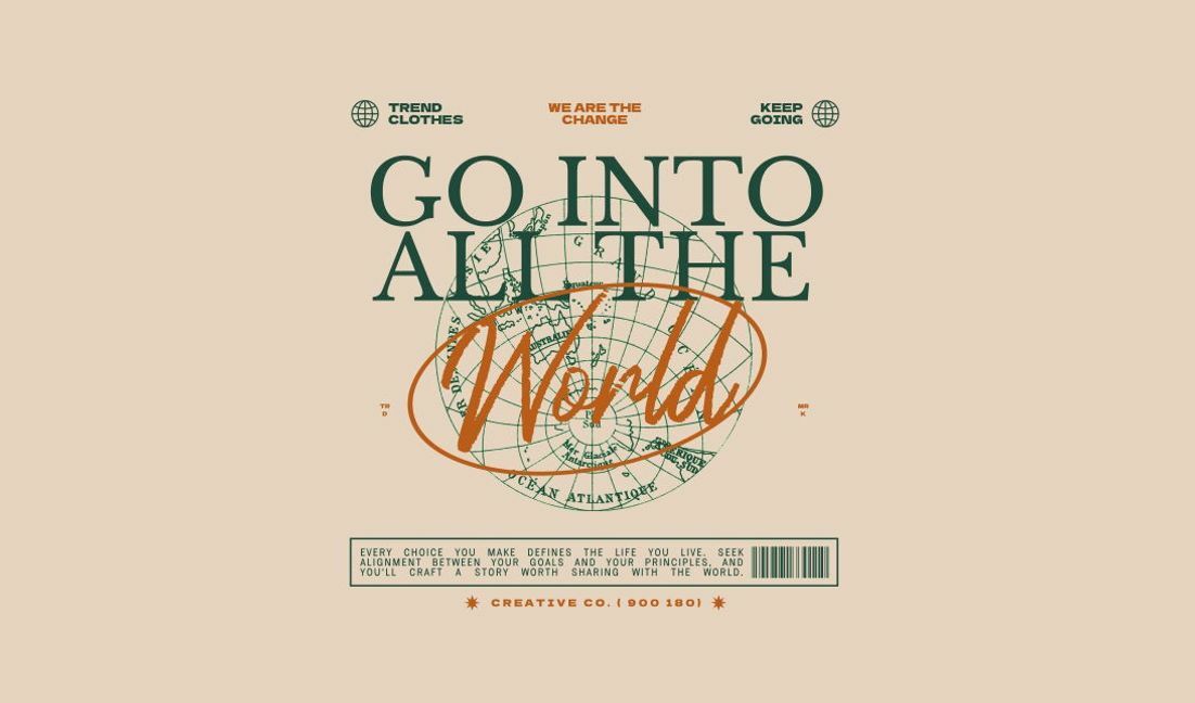
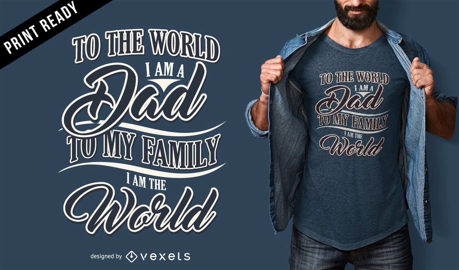
Inspirational world quote design t-shirt design template
Choose a folder
All favorites
Create new
Save
Inspirational world quote design t-shirt design template
Premium
Geografia design PNG Design
Choose a folder
All favorites
Create new
Save
Geografia design PNG Design
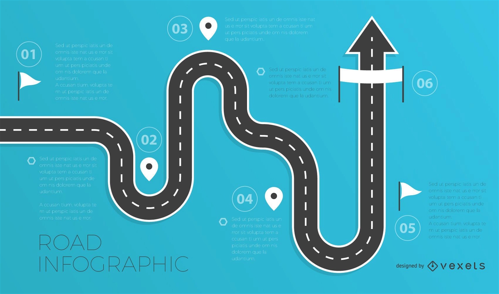
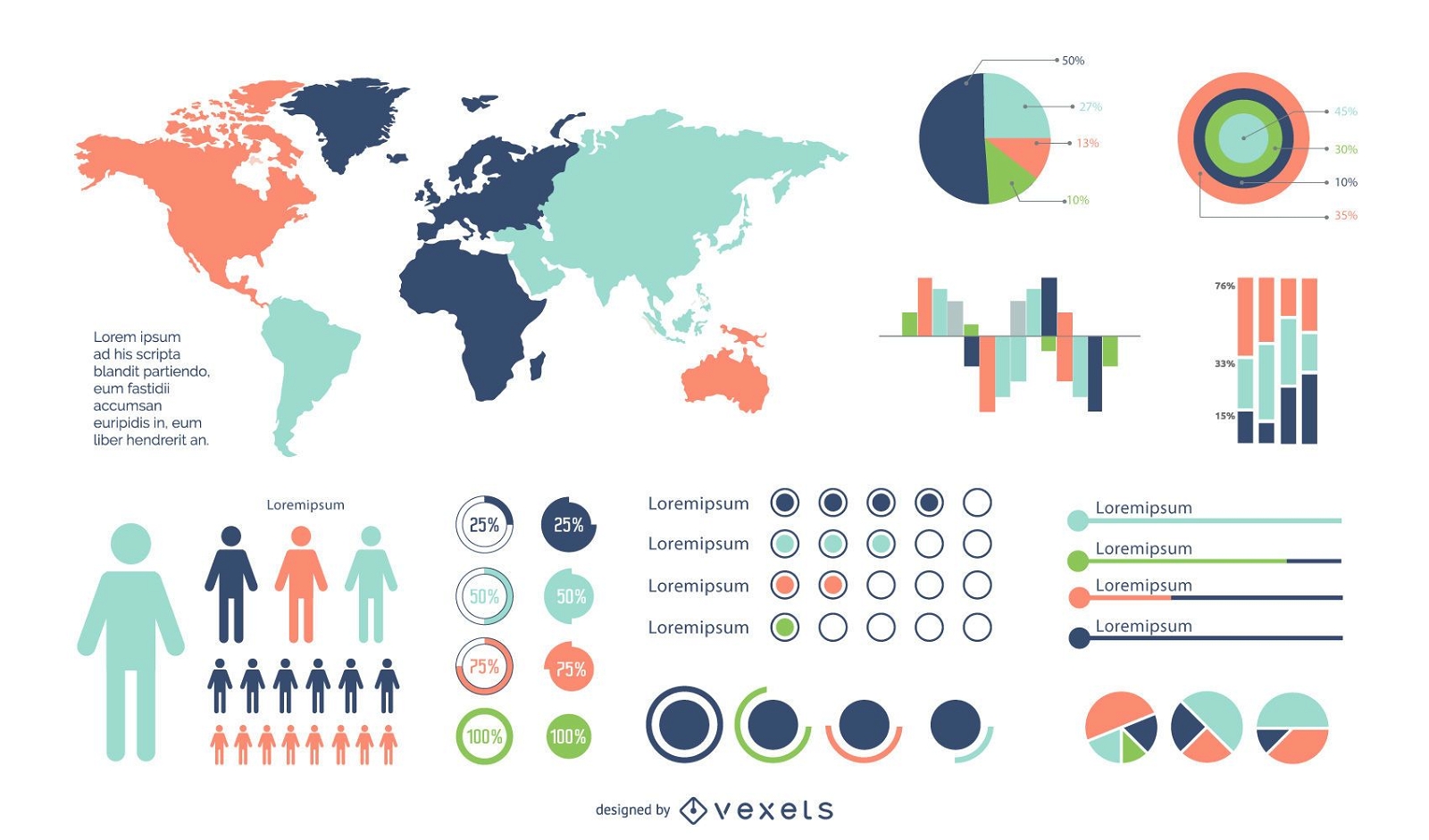
Road infographics template
Choose a folder
All favorites
Create new
Save
Road infographics template
Maine state stroke map PNG Design
Choose a folder
All favorites
Create new
Save
Maine state stroke map PNG Design
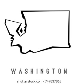
Washington state stroke map PNG Design
Choose a folder
All favorites
Create new
Save
Washington state stroke map PNG Design
for Merch
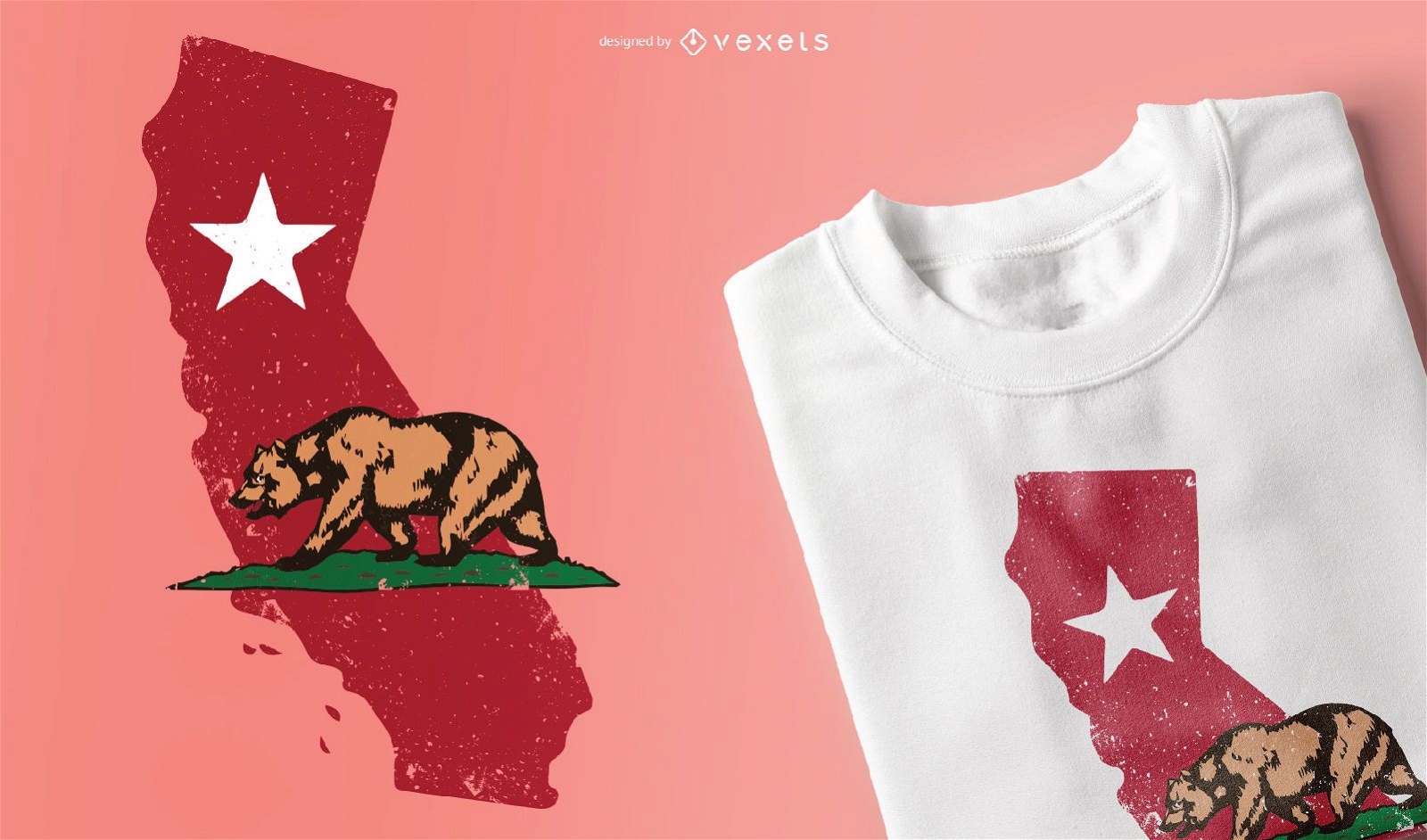
California t-shirt design
Choose a folder
All favorites
Create new
Save
California t-shirt design
New Jersey state stroke map PNG Design
Choose a folder
All favorites
Create new
Save
New Jersey state stroke map PNG Design
Print ready
for Merch
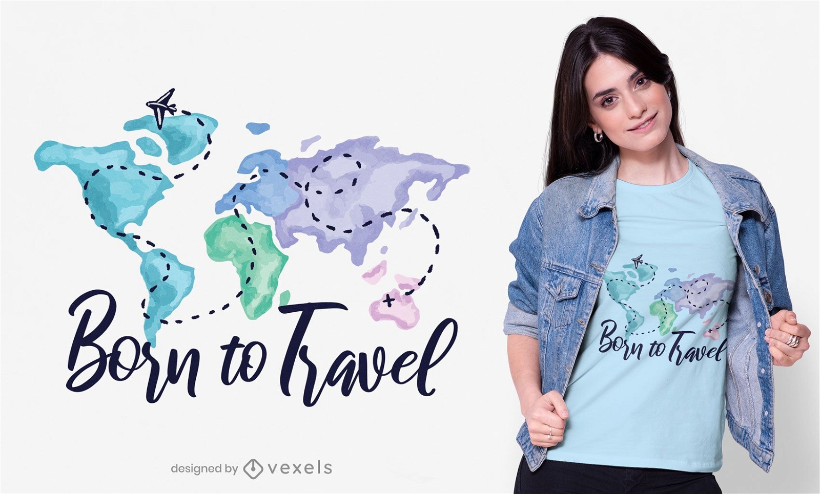
Born to travel t-shirt design
Choose a folder
All favorites
Create new
Save
Born to travel t-shirt design
North Carolina state stroke map PNG Design
Choose a folder
All favorites
Create new
Save
North Carolina state stroke map PNG Design
Print ready
for Merch
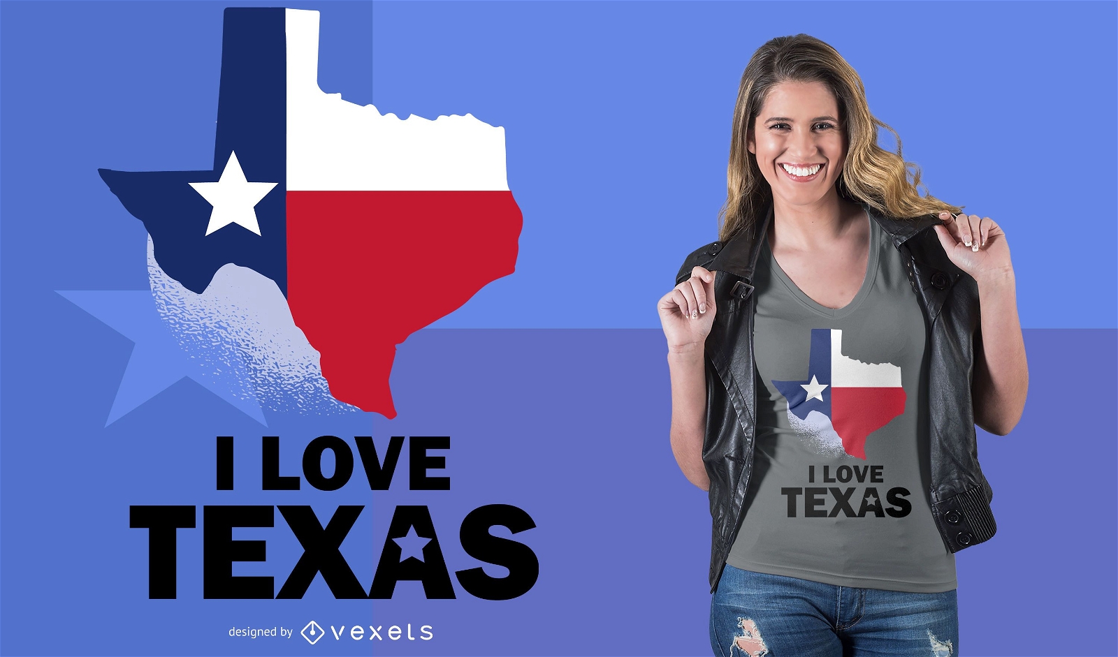
Love Texas T-Shirt Design
Choose a folder
All favorites
Create new
Save
Love Texas T-Shirt Design
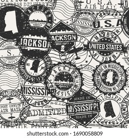
Mississippi state stroke map PNG Design
Choose a folder
All favorites
Create new
Save
Mississippi state stroke map PNG Design
New York state stroke map PNG Design
Choose a folder
All favorites
Create new
Save
New York state stroke map PNG Design
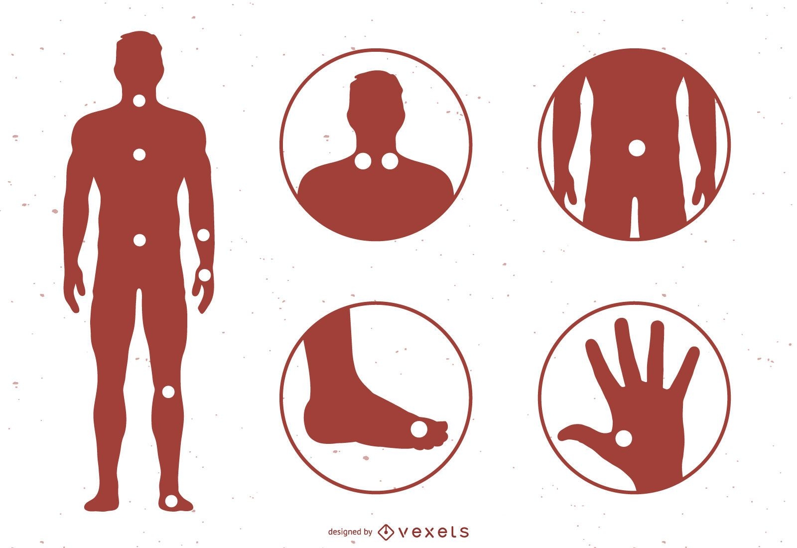
Acupuncture Meridian Points With Reference To The Body Map
Choose a folder
All favorites
Create new
Save
Acupuncture Meridian Points With Reference To The Body Map
Print ready
for Merch
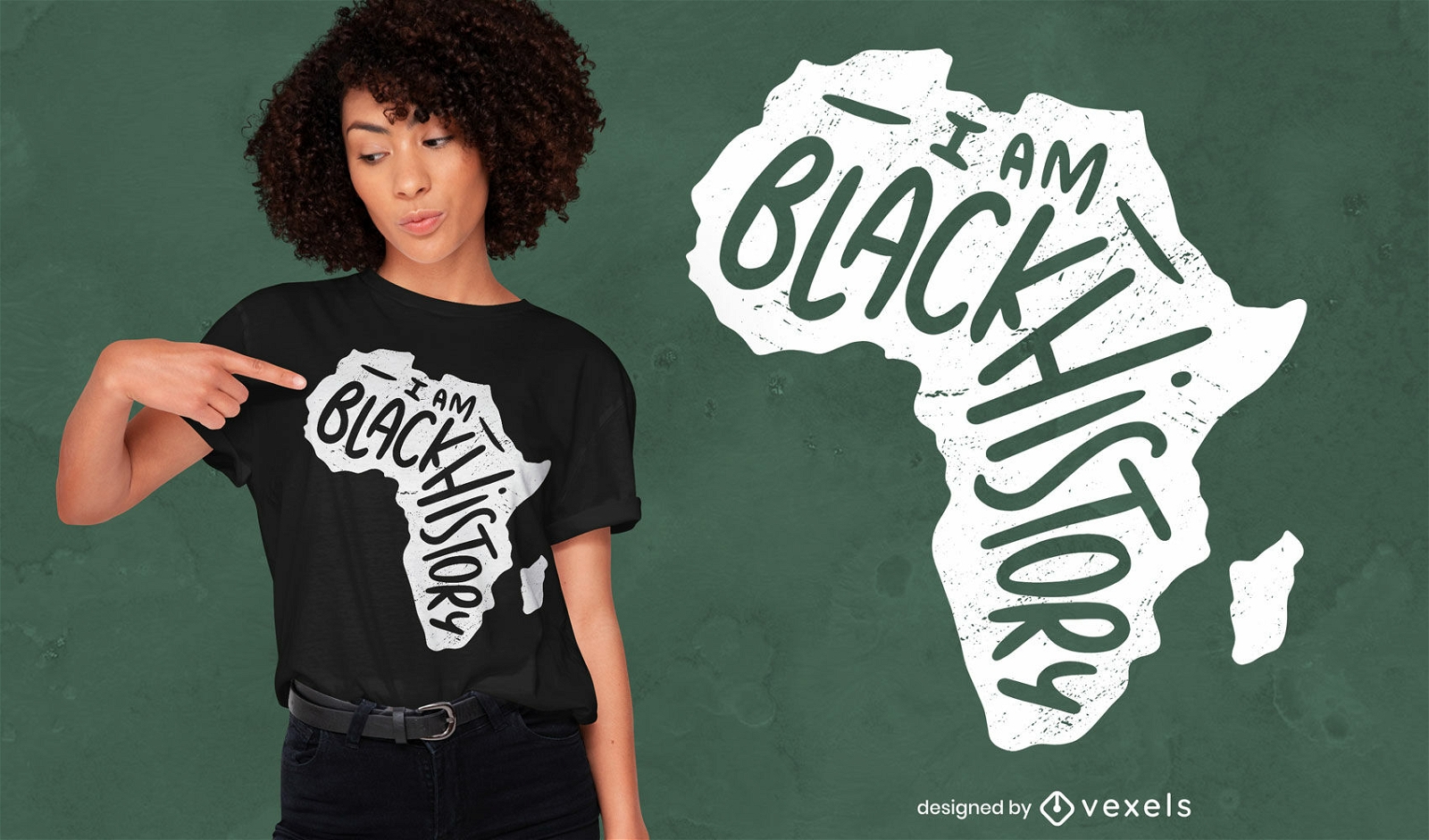
I am black history t-shirt design
Choose a folder
All favorites
Create new
Save
I am black history t-shirt design
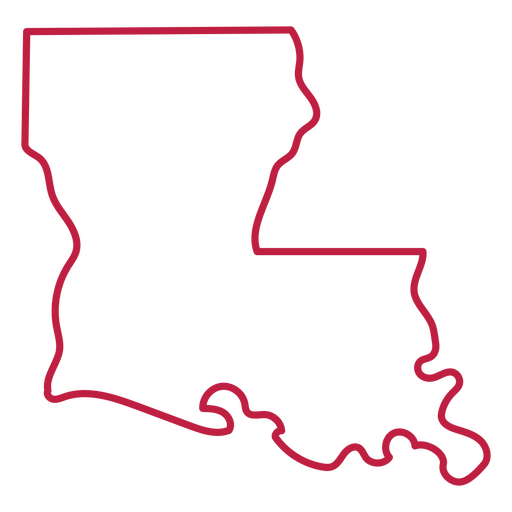
Louisiana state stroke map PNG Design
Choose a folder
All favorites
Create new
Save
Louisiana state stroke map PNG Design
Pennsylvania state stroke map PNG Design
Choose a folder
All favorites
Create new
Save
Pennsylvania state stroke map PNG Design
Virginia state stroke map PNG Design
Choose a folder
All favorites
Create new
Save
Virginia state stroke map PNG Design
Editable text
Print ready
for Merch
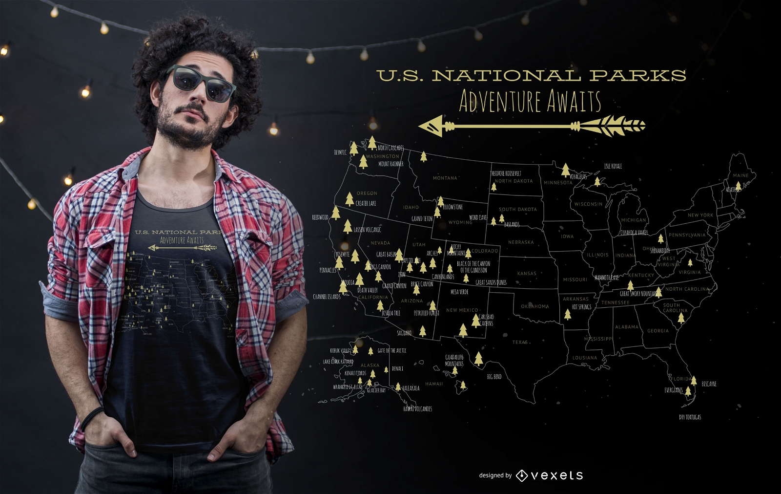
US national parks t-shirt design
Choose a folder
All favorites
Create new
Save
US national parks t-shirt design
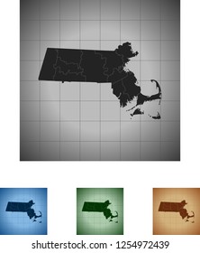
Massachusetts state stroke map PNG Design
Choose a folder
All favorites
Create new
Save
Massachusetts state stroke map PNG Design
Maryland state stroke map PNG Design
Choose a folder
All favorites
Create new
Save
Maryland state stroke map PNG Design
Tennessee state stroke map PNG Design
Choose a folder
All favorites
Create new
Save
Tennessee state stroke map PNG Design
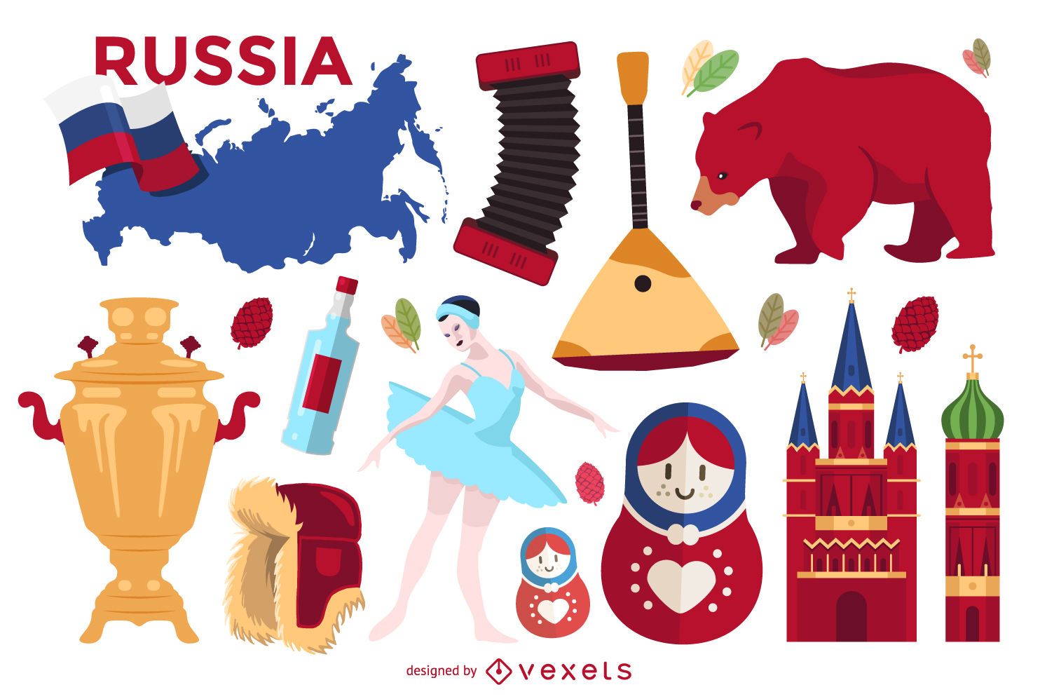
Illustrated Russia elements set
Choose a folder
All favorites
Create new
Save
Illustrated Russia elements set
Airplane travel doodle monuments
Choose a folder
All favorites
Create new
Save
Airplane travel doodle monuments
Michigan state stroke map PNG Design
Choose a folder
All favorites
Create new
Save
Michigan state stroke map PNG Design
Utah state stroke map PNG Design
Choose a folder
All favorites
Create new
Save
Utah state stroke map PNG Design
Minnesotta state stroke map PNG Design
Choose a folder
All favorites
Create new
Save
Minnesotta state stroke map PNG Design
Minimal Colorful Infographic Set
Choose a folder
All favorites
Create new
Save
Minimal Colorful Infographic Set
Glossy Colorful Infographic Elements
Choose a folder
All favorites
Create new
Save
Glossy Colorful Infographic Elements
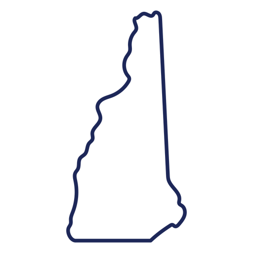
New Hampshire state stroke map PNG Design
Choose a folder
All favorites
Create new
Save
New Hampshire state stroke map PNG Design
Print ready
for Merch
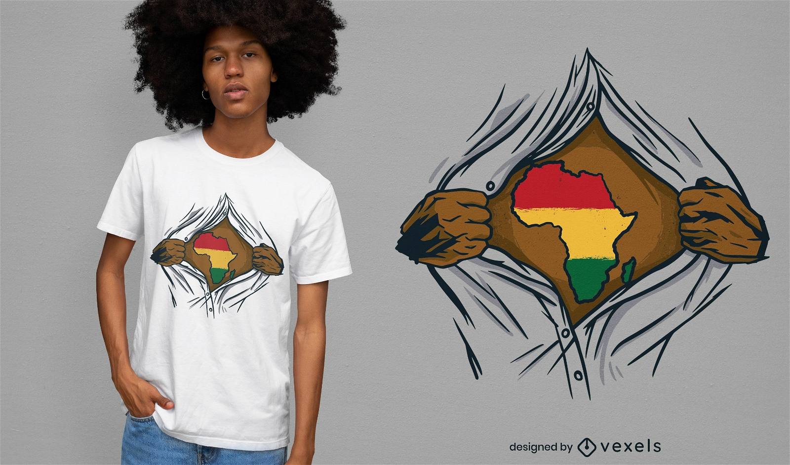
Africa ripped open t-shirt design
Choose a folder
All favorites
Create new
Save
Africa ripped open t-shirt design
Oregon state stroke map PNG Design
Choose a folder
All favorites
Create new
Save
Oregon state stroke map PNG Design
Nevada state stroke map PNG Design
Choose a folder
All favorites
Create new
Save
Nevada state stroke map PNG Design
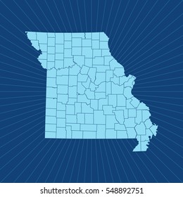
Missouri state stroke map PNG Design
Choose a folder
All favorites
Create new
Save
Missouri state stroke map PNG Design
Oklahoma state stroke map PNG Design
Choose a folder
All favorites
Create new
Save
Oklahoma state stroke map PNG Design
Print ready
for Merch
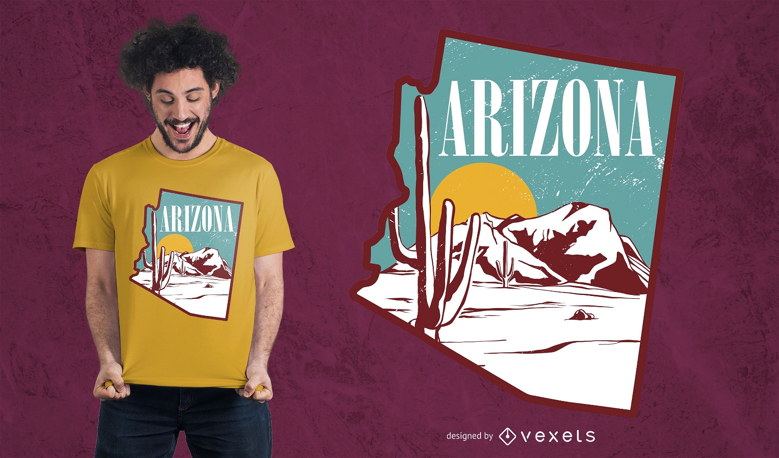
Arizona landscape t-shirt design
Choose a folder
All favorites
Create new
Save
Arizona landscape t-shirt design
Vermont state stroke map PNG Design
Choose a folder
All favorites
Create new
Save
Vermont state stroke map PNG Design
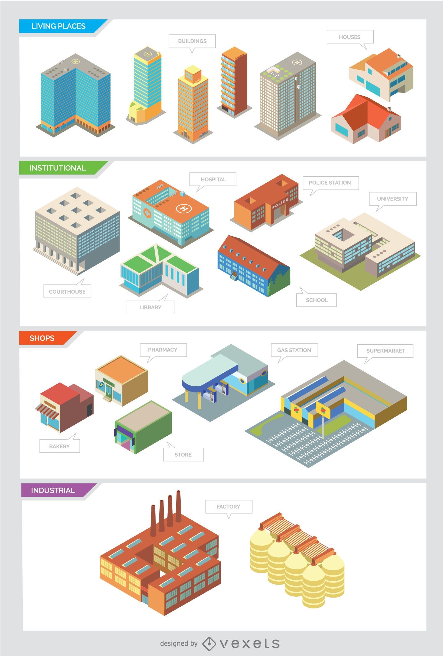
City buildings - Isolated and Isometric
Choose a folder
All favorites
Create new
Save
City buildings - Isolated and Isometric
Print ready
Premium
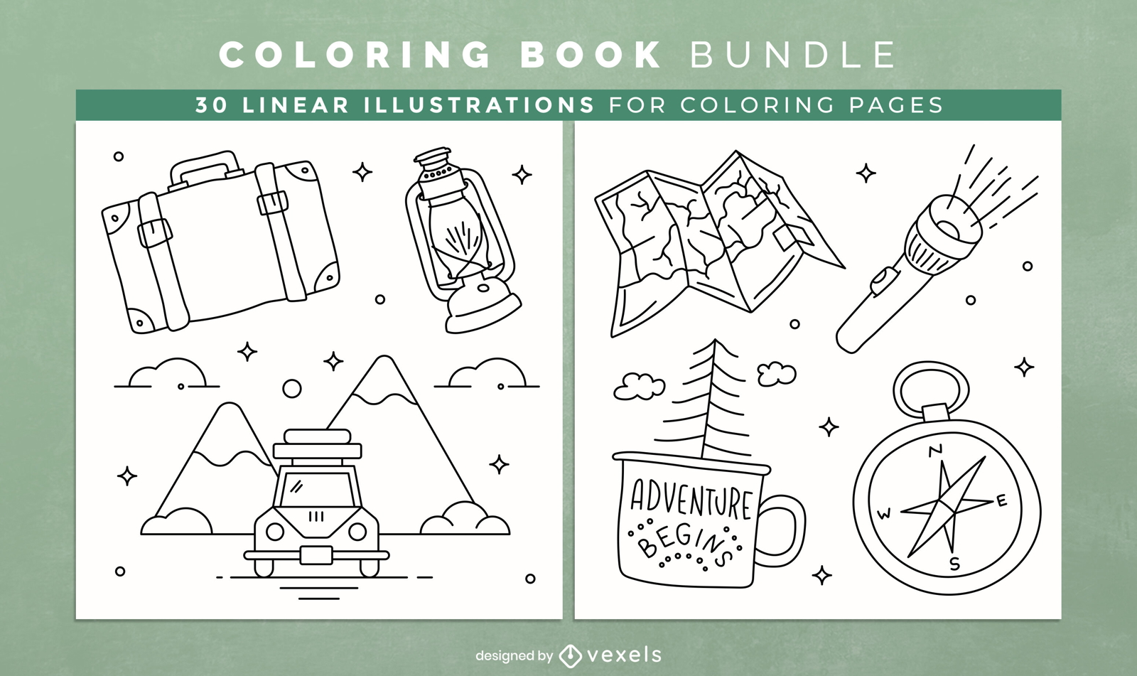
Camping coloring book KDP interior design
Choose a folder
All favorites
Create new
Save
Camping coloring book KDP interior design
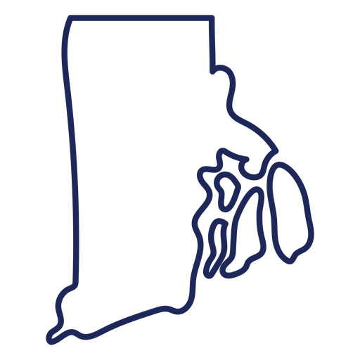
Rhode island state stroke map PNG Design
Choose a folder
All favorites
Create new
Save
Rhode island state stroke map PNG Design
American map flag filled stroke badge PNG Design
Choose a folder
All favorites
Create new
Save
American map flag filled stroke badge PNG Design
Wisconsin state stroke map PNG Design
Choose a folder
All favorites
Create new
Save
Wisconsin state stroke map PNG Design
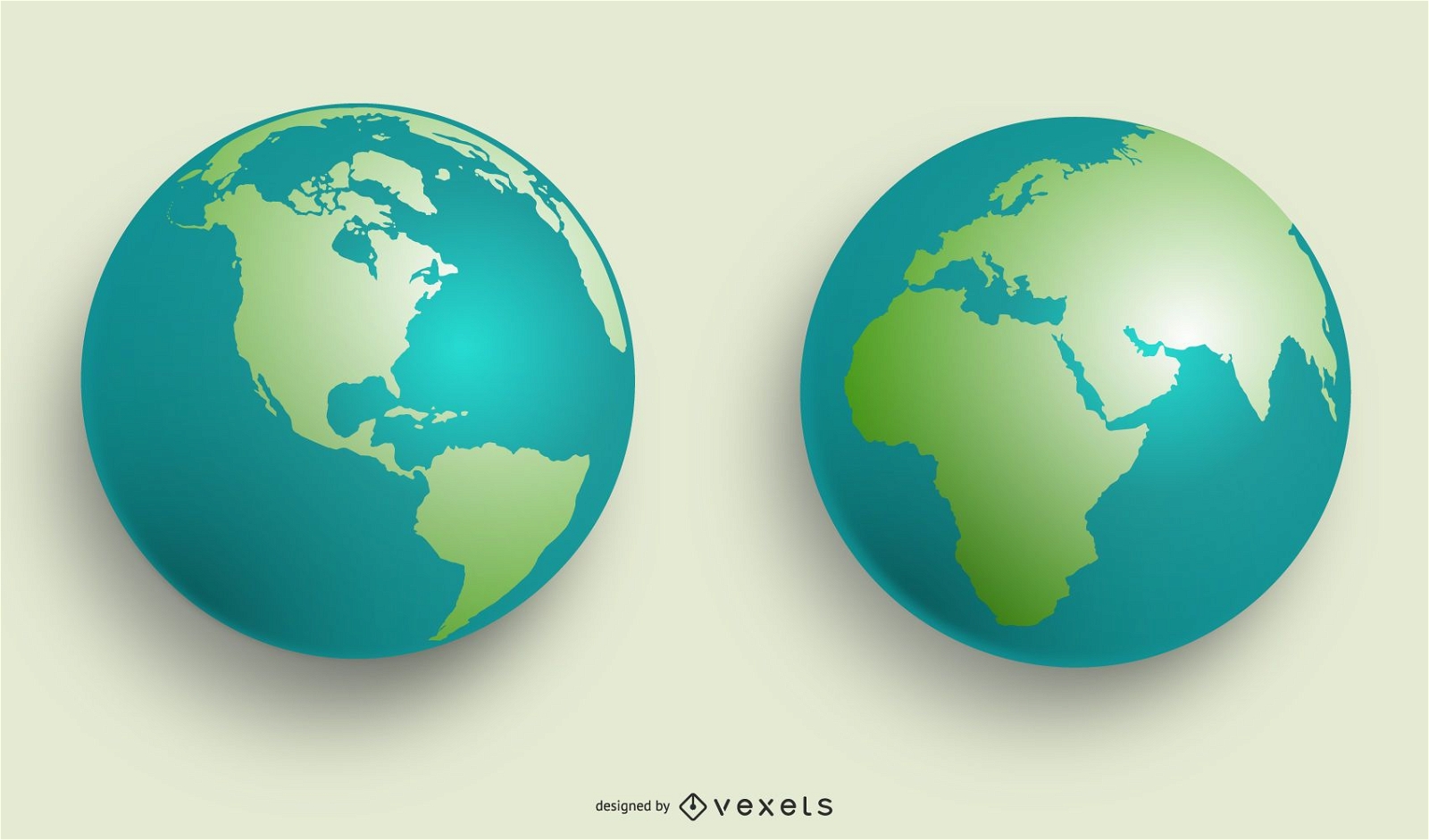
VECTOR WORLD GLOBES
Choose a folder
All favorites
Create new
Save
VECTOR WORLD GLOBES
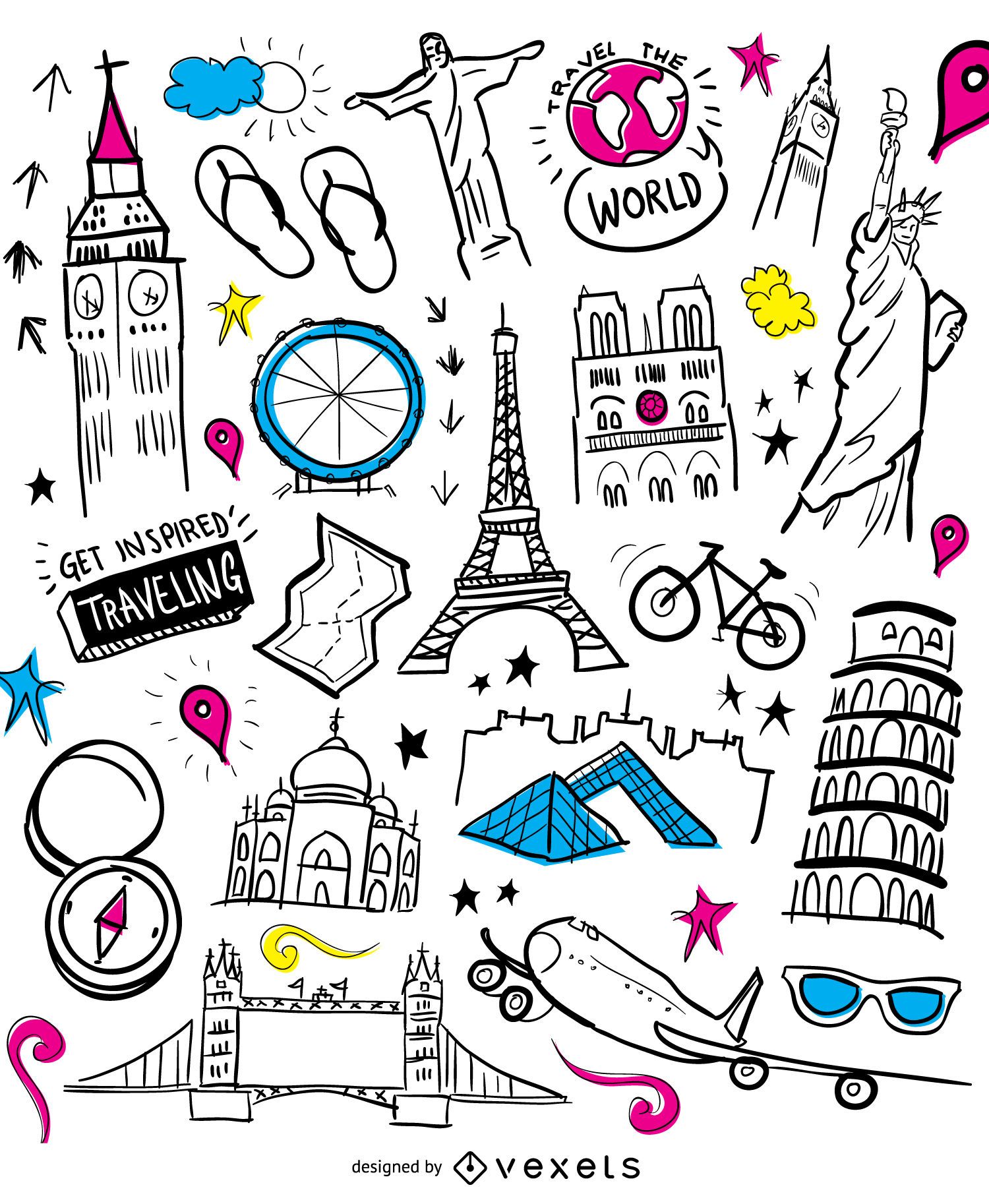
Travelling elements wallpaper
Choose a folder
All favorites
Create new
Save
Travelling elements wallpaper
Boost Your Business
With The Leading Graphic Platform For Merch.
SEE PLANS
Next
of 39
prev page
next page