Design Library
New Merch Designs
T-Shirts
Vectors
Trending Merch Designs
PNGs & SVGs
Mockups
T-Shirt PSD Templates
Explore Designs
KDP Designs
Posters
Mugs
Phone Cases
Tote Bags
Pillows
Design Tools
Merch Designer
New!
Mockup Generator
AI Design Generator
Image Vectorizer
Quote Generator
T-Shirt Maker (Old)
Resources
Merch Digest
Blog
Help Center
Learn About Merch
Feedback
Corporate Solutions
Enterprise
API Access
Design Studio
Bulk Design Production
Pricing
Loading...
Sign Up
Login
All
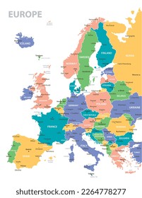
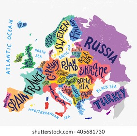
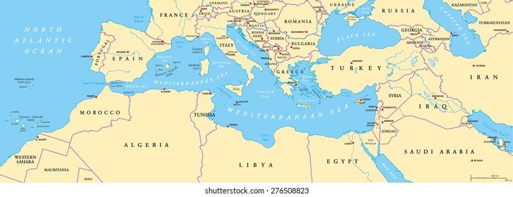
europe
Design Library
New Merch Designs
T-Shirts
Vectors
Trending Merch Designs
PNGs & SVGs
Mockups
T-Shirt PSD Templates
Explore Designs
KDP Designs
Posters
Mugs
Phone Cases
Tote Bags
Pillows
Design Tools
Merch Designer
New!
Mockup Generator
AI Design Generator
Image Vectorizer
Quote Generator
T-Shirt Maker (Old)
Resources
Merch Digest
Blog
Help Center
Learn About Merch
Feedback
Corporate Solutions
Enterprise
API Access
Design Studio
Bulk Design Production
PLANS
All
europe
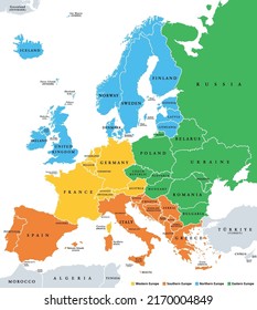
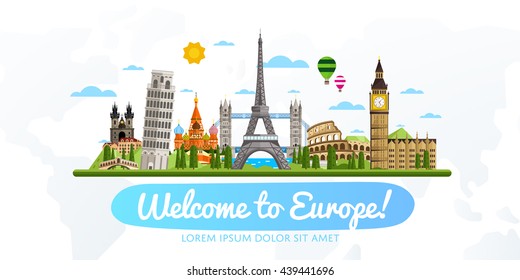
348 europe designs graphics for t-shirt and print on demand merch
Download europe t-shirt designs and other merch graphics like book covers, phone cases, tote bags and more.
Related:
european
,
european countries
,
european union
Sort by
Most relevant
Sponsored results by
Get 15% off with code: VEXELS15
Show more
United Kingdom blue map
Choose a folder
All favorites
Create new
Save
United Kingdom blue map
7 Countries landmark emblems
Choose a folder
All favorites
Create new
Save
7 Countries landmark emblems
Editable text
Print ready
for Merch
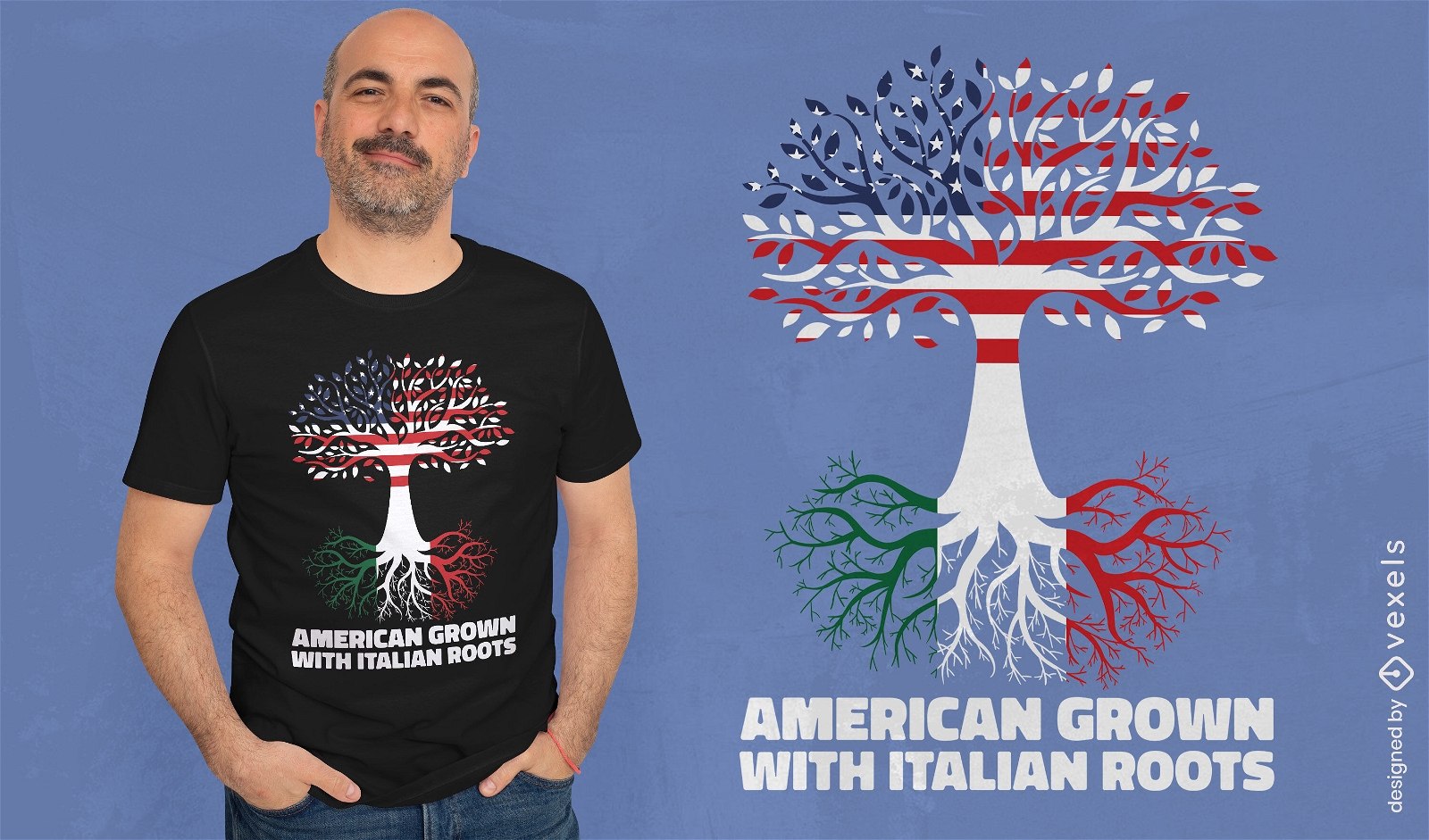
American Italian t-shirt design
Choose a folder
All favorites
Create new
Save
American Italian t-shirt design
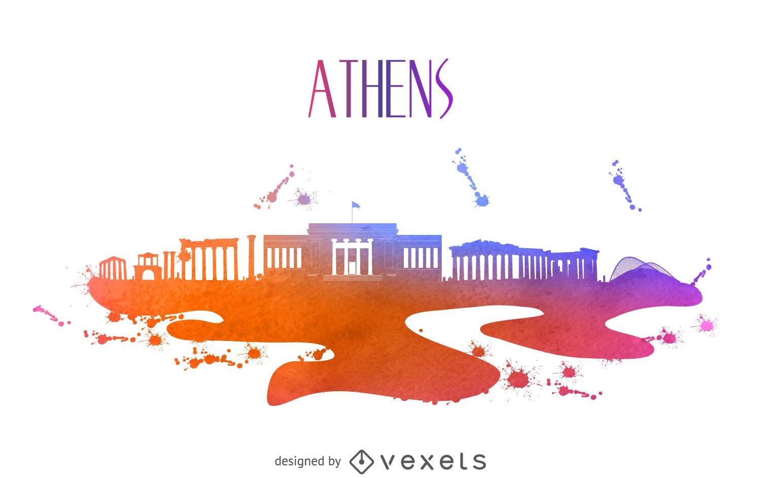
Athens watercolor skyline silhouette
Choose a folder
All favorites
Create new
Save
Athens watercolor skyline silhouette
Alps mountains stroke PNG Design
Choose a folder
All favorites
Create new
Save
Alps mountains stroke PNG Design
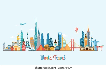
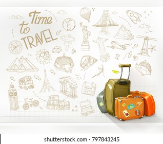
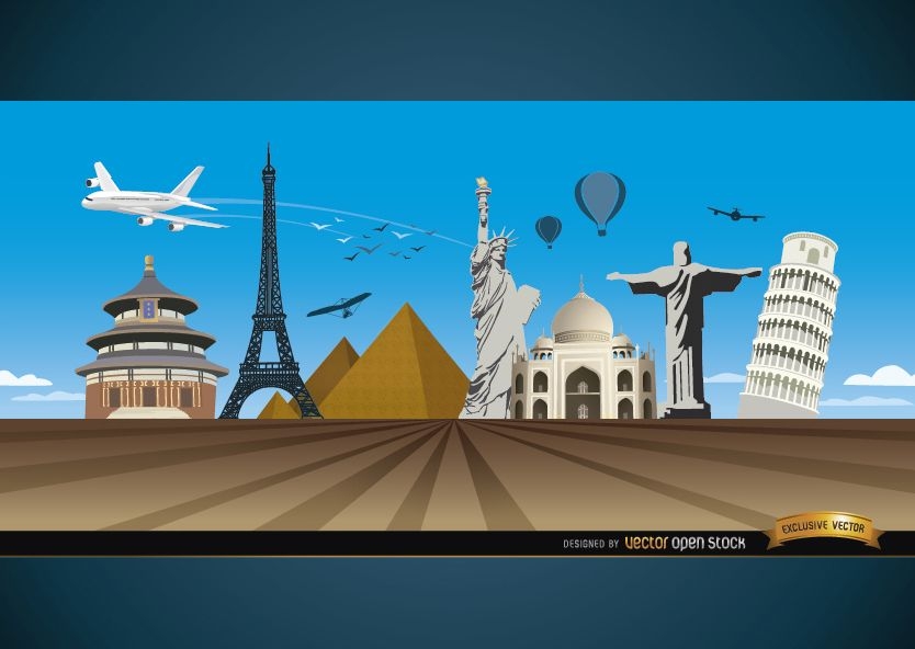
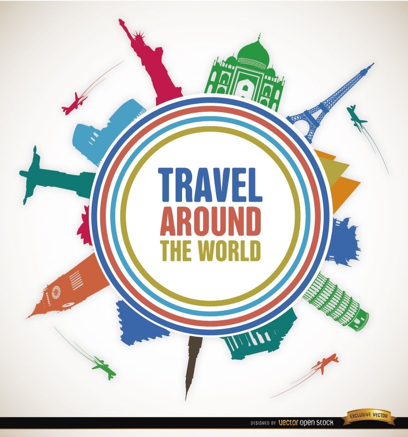
Travel marvels around world background
Choose a folder
All favorites
Create new
Save
Travel marvels around world background
Premium
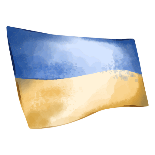
Ukraine flag textured PNG Design
Choose a folder
All favorites
Create new
Save
Ukraine flag textured PNG Design
Political spain map
Choose a folder
All favorites
Create new
Save
Political spain map
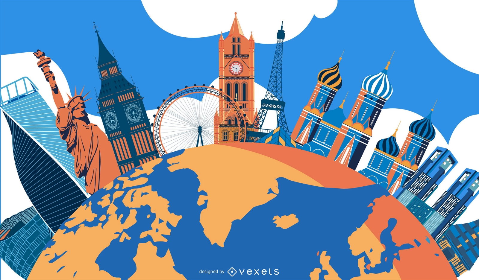
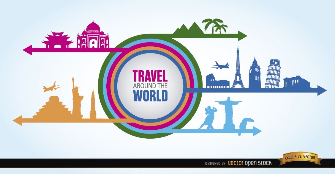
Travel world landmarks promo
Choose a folder
All favorites
Create new
Save
Travel world landmarks promo
Premium
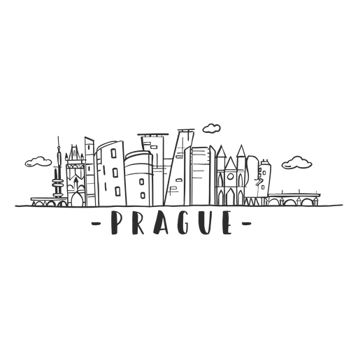
Prague bridge dome tower castle museum skyline sticker PNG Design
Choose a folder
All favorites
Create new
Save
Prague bridge dome tower castle museum skyline sticker PNG Design
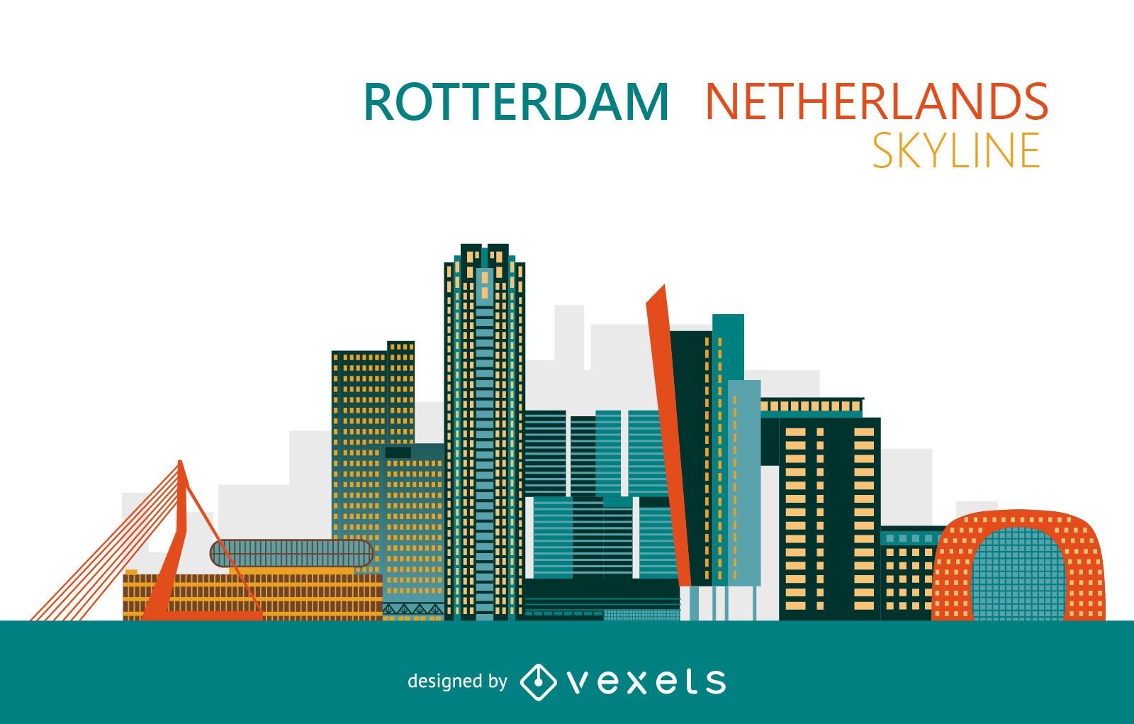
Colorful Rotterdam Netherlands skyline
Choose a folder
All favorites
Create new
Save
Colorful Rotterdam Netherlands skyline
for Merch
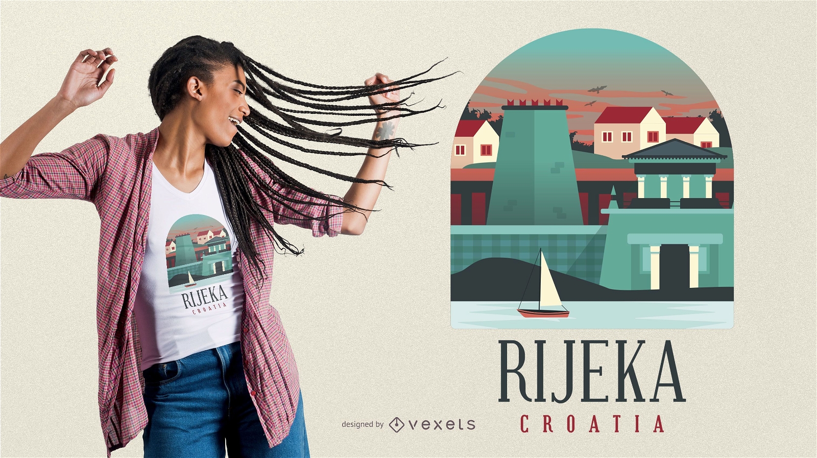
Rijeka Croatia T-shirt Design
Choose a folder
All favorites
Create new
Save
Rijeka Croatia T-shirt Design
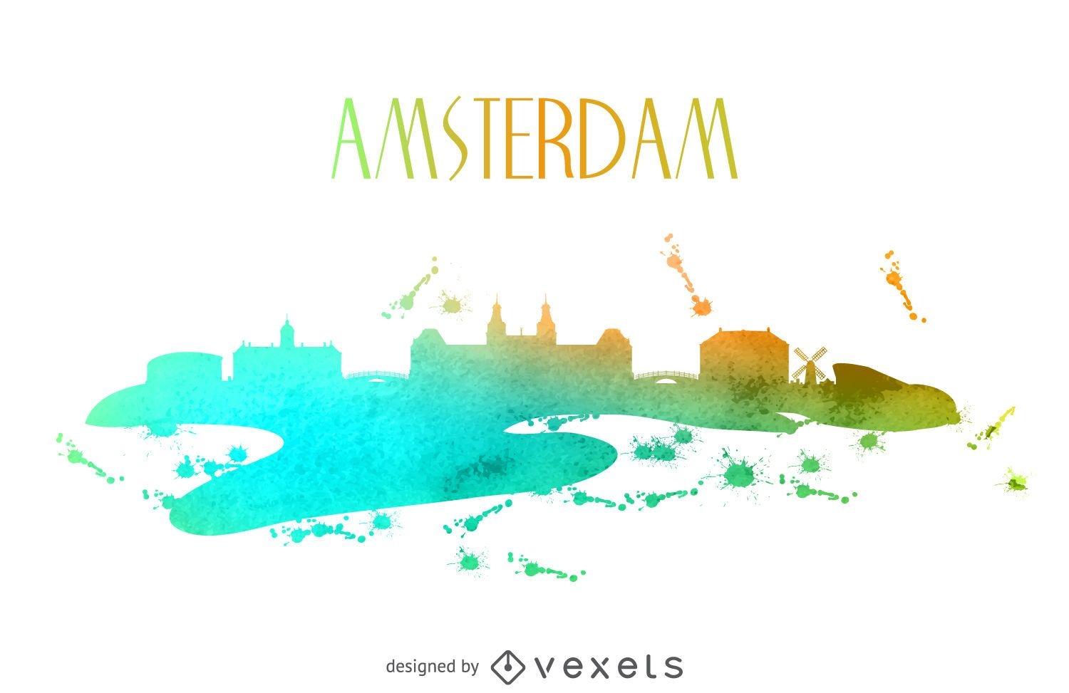
Amsterdam watercolor skyline
Choose a folder
All favorites
Create new
Save
Amsterdam watercolor skyline
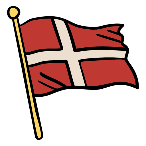
Waving flag denmark illustration PNG Design
Choose a folder
All favorites
Create new
Save
Waving flag denmark illustration PNG Design
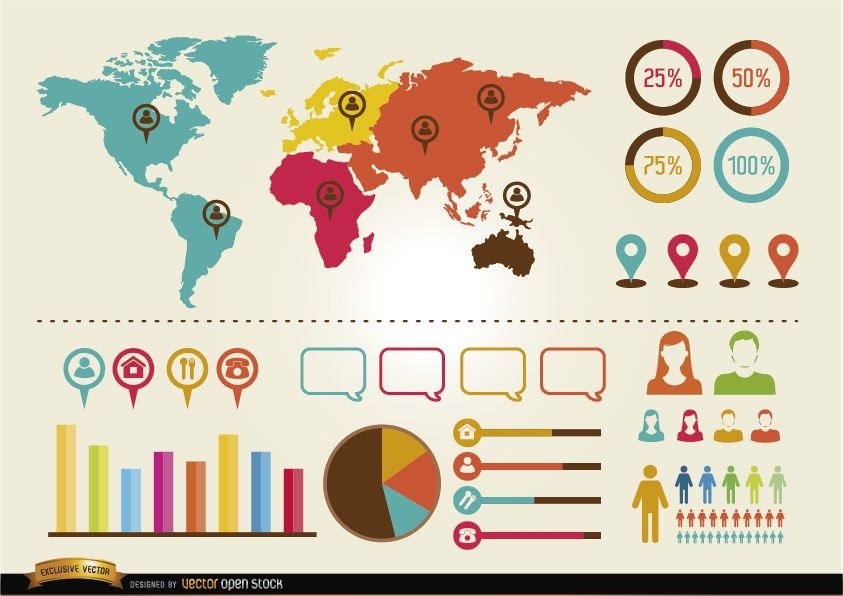
Social infographics resources pack
Choose a folder
All favorites
Create new
Save
Social infographics resources pack
Premium
bochum skyline silhouette
Choose a folder
All favorites
Create new
Save
bochum skyline silhouette
Premium
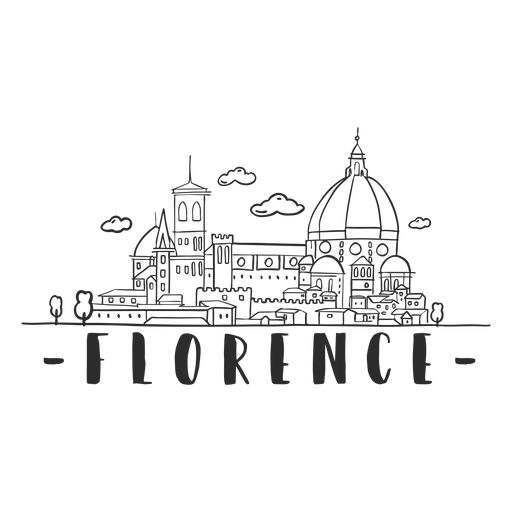
Florence skyline sticker PNG Design
Choose a folder
All favorites
Create new
Save
Florence skyline sticker PNG Design
Premium
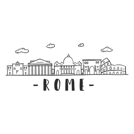
Rome arch pantheon coliseum column basilica skyline sticker PNG Design
Choose a folder
All favorites
Create new
Save
Rome arch pantheon coliseum column basilica skyline sticker PNG Design
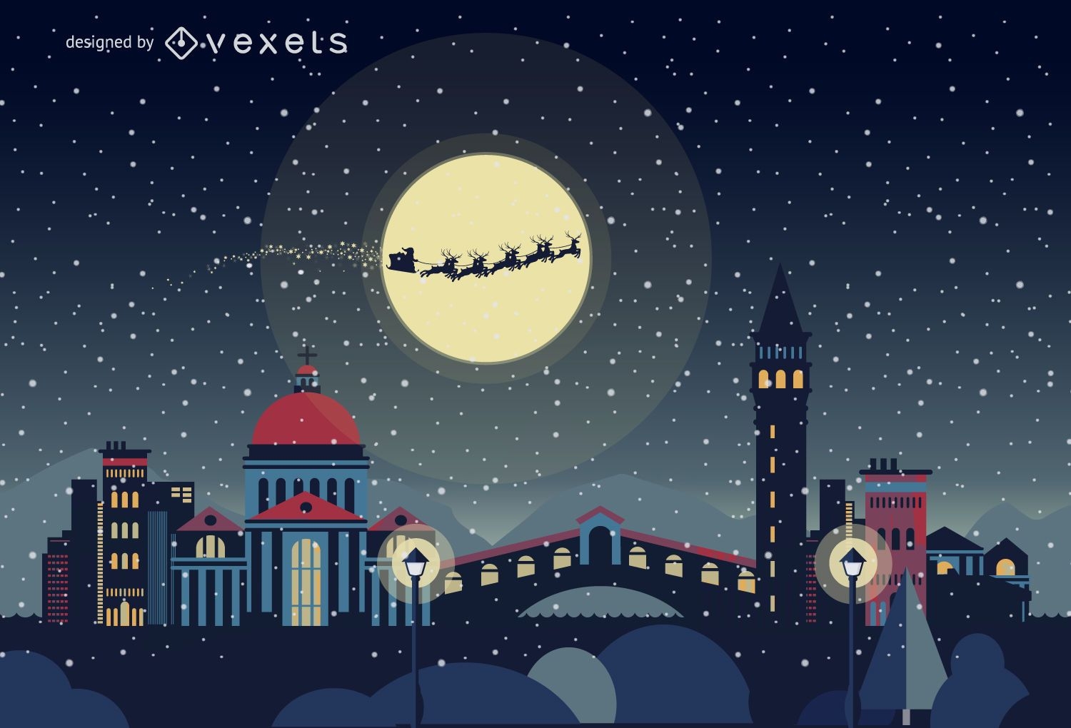
Venice Christmas skyline
Choose a folder
All favorites
Create new
Save
Venice Christmas skyline
Monuments around world circle logo
Choose a folder
All favorites
Create new
Save
Monuments around world circle logo
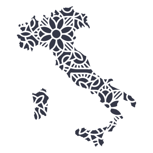
Mandala Italy Map PNG Design
Choose a folder
All favorites
Create new
Save
Mandala Italy Map PNG Design
Belgium design template
Choose a folder
All favorites
Create new
Save
Belgium design template
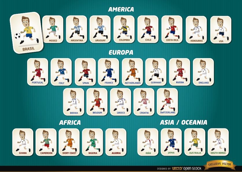
Cartoon football players teams Brazil 2014
Choose a folder
All favorites
Create new
Save
Cartoon football players teams Brazil 2014
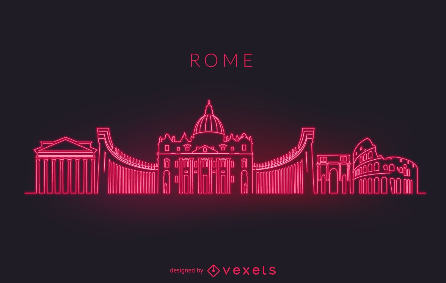
Rome neon skyline silhouette
Choose a folder
All favorites
Create new
Save
Rome neon skyline silhouette
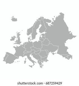
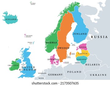
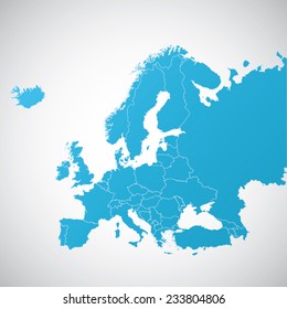
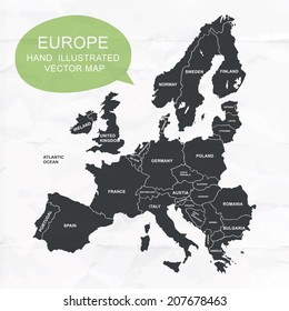
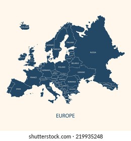
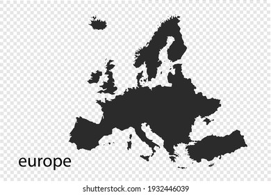
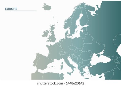
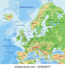
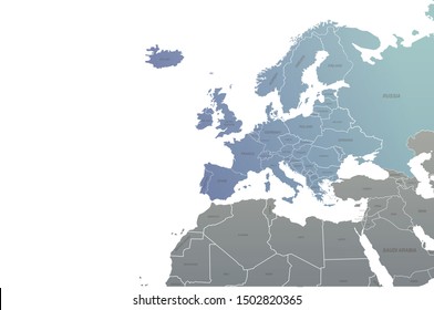
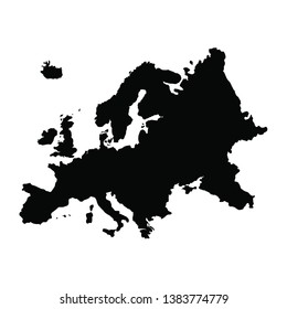
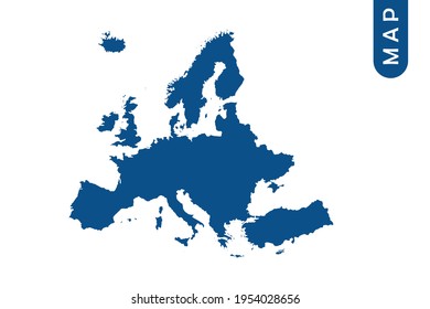
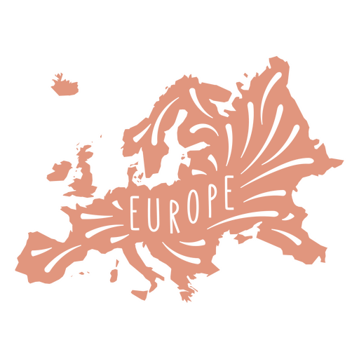
European Continent Map PNG Design
Choose a folder
All favorites
Create new
Save
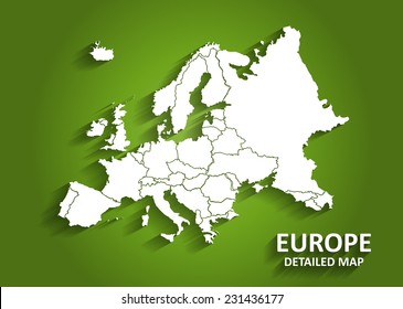
European Continent Map PNG Design
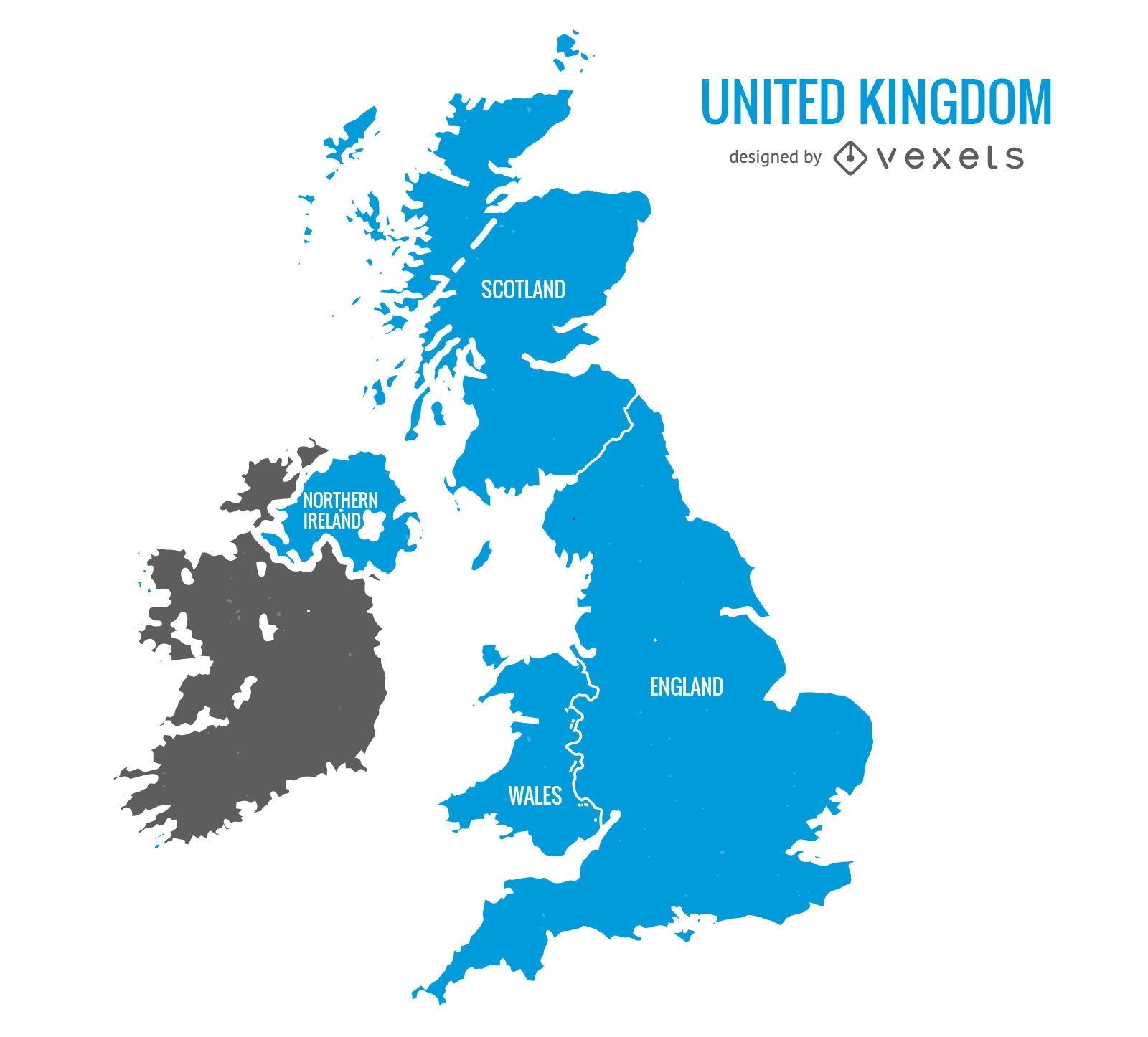
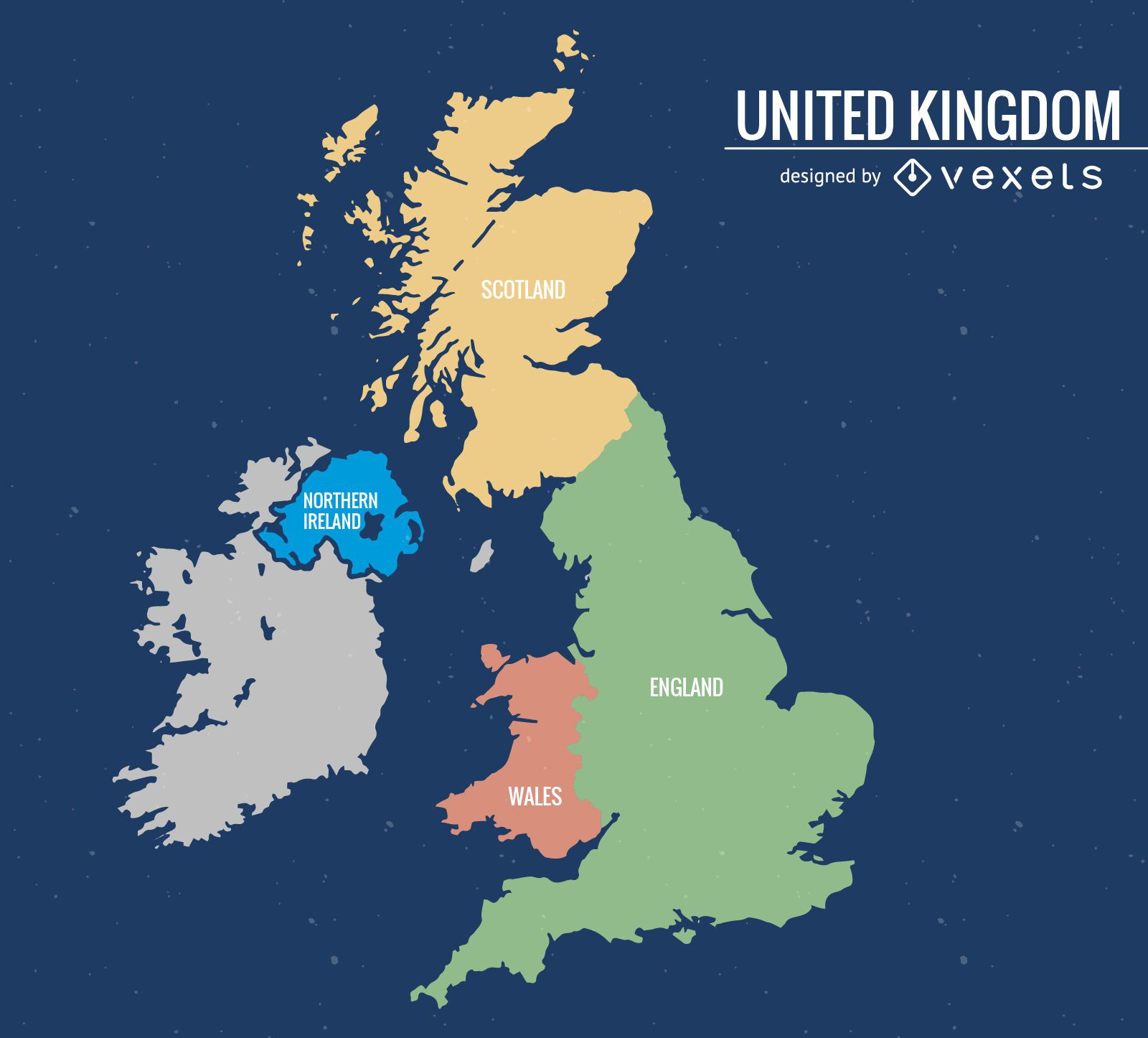
United Kingdom map
Choose a folder
All favorites
Create new
Save
United Kingdom map
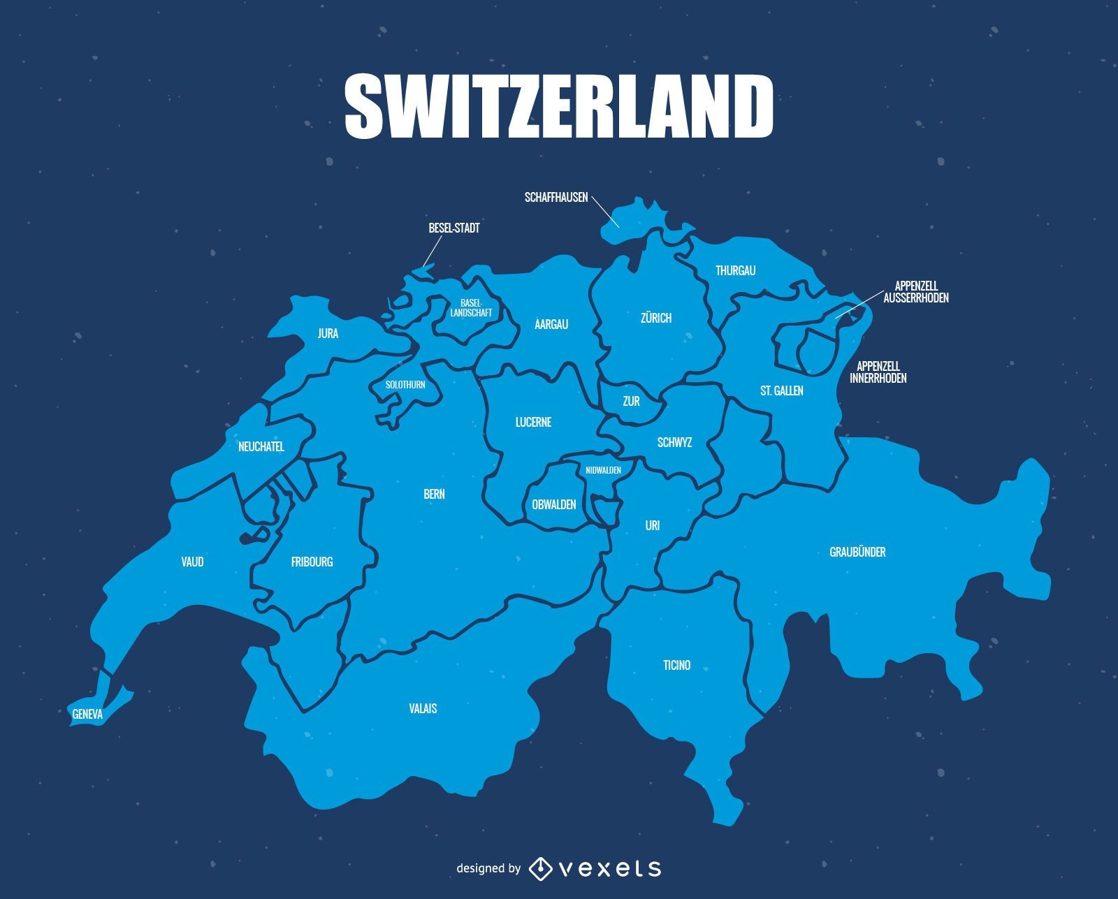
Switzerland administrative division map
Choose a folder
All favorites
Create new
Save
Switzerland administrative division map
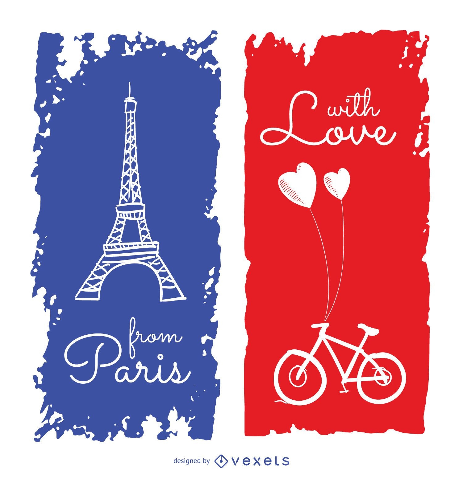
Cute Paris travel greeting card
Choose a folder
All favorites
Create new
Save
Cute Paris travel greeting card
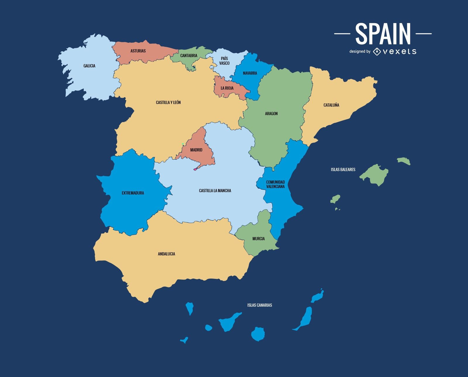
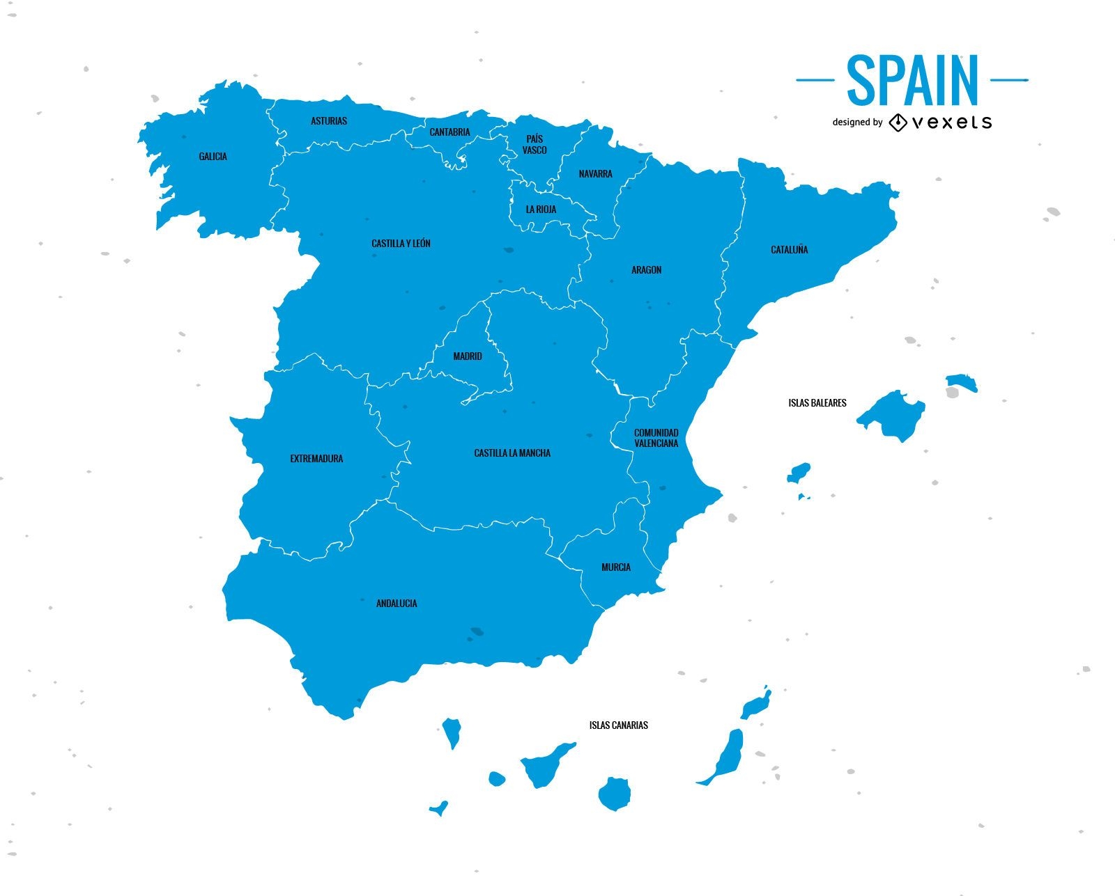
Spain administrative division map
Choose a folder
All favorites
Create new
Save
Spain administrative division map
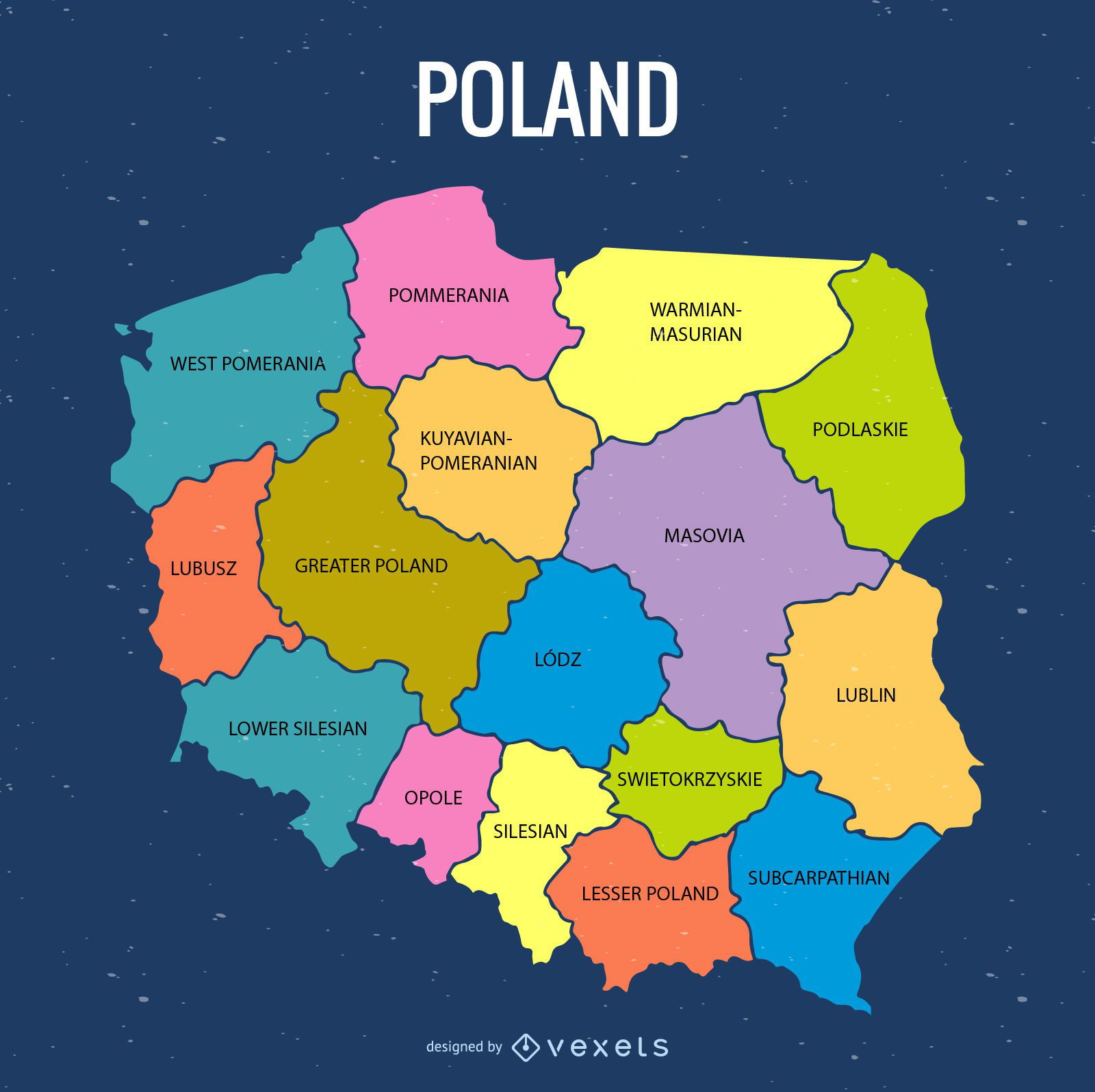
Colored Poland administrative map
Choose a folder
All favorites
Create new
Save
Colored Poland administrative map
World Landmarks Illustration Design
Choose a folder
All favorites
Create new
Save
World Landmarks Illustration Design
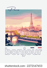
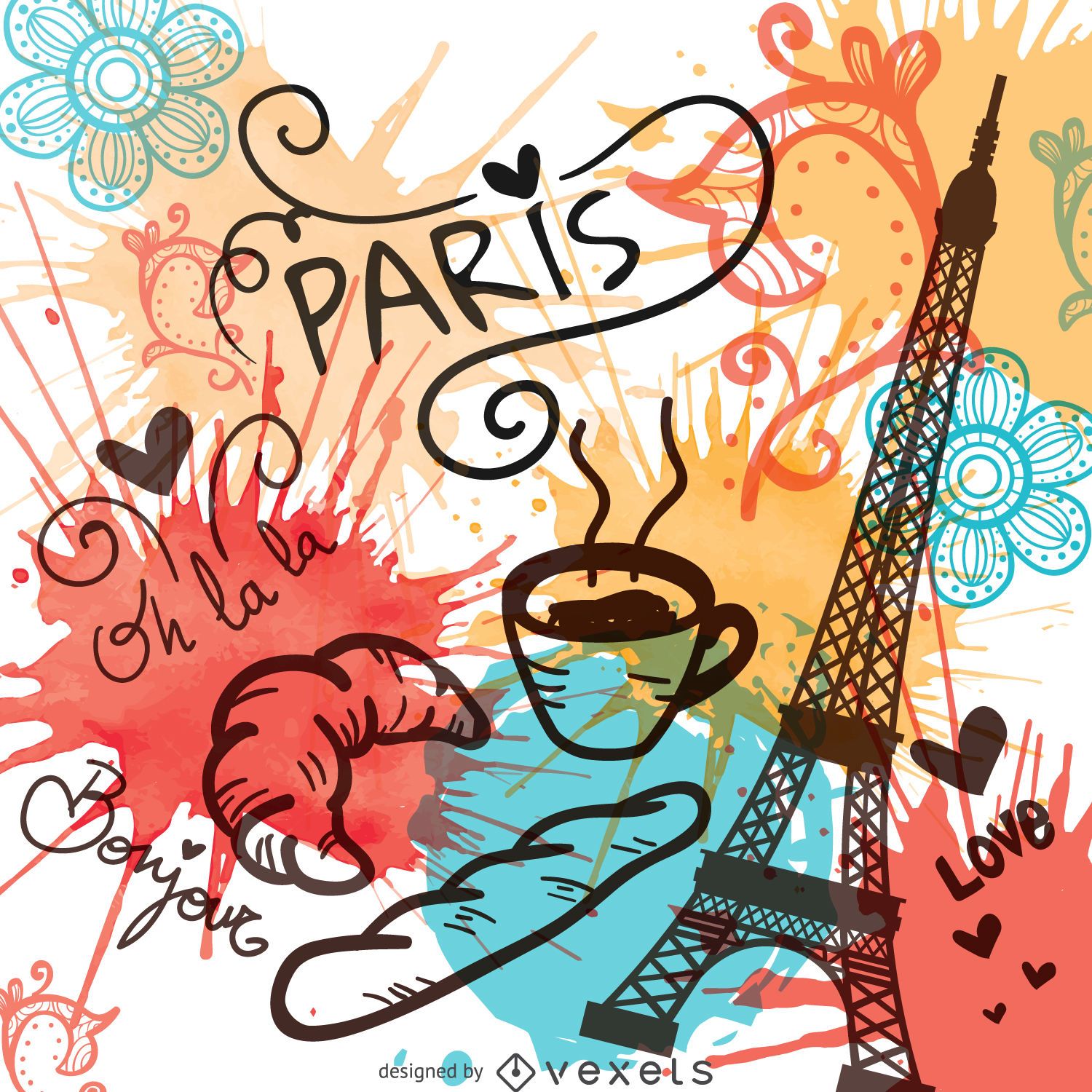
Watercolor Paris landmarks
Choose a folder
All favorites
Create new
Save
Watercolor Paris landmarks
German Content
Premium
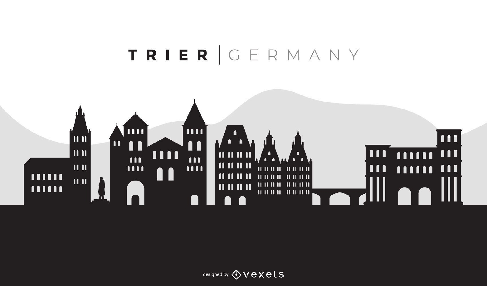
Trier Black Skyline Design
Choose a folder
All favorites
Create new
Save
Trier Black Skyline Design
Amsterdam travel to amsterdam sticker PNG Design
Choose a folder
All favorites
Create new
Save
Amsterdam travel to amsterdam sticker PNG Design
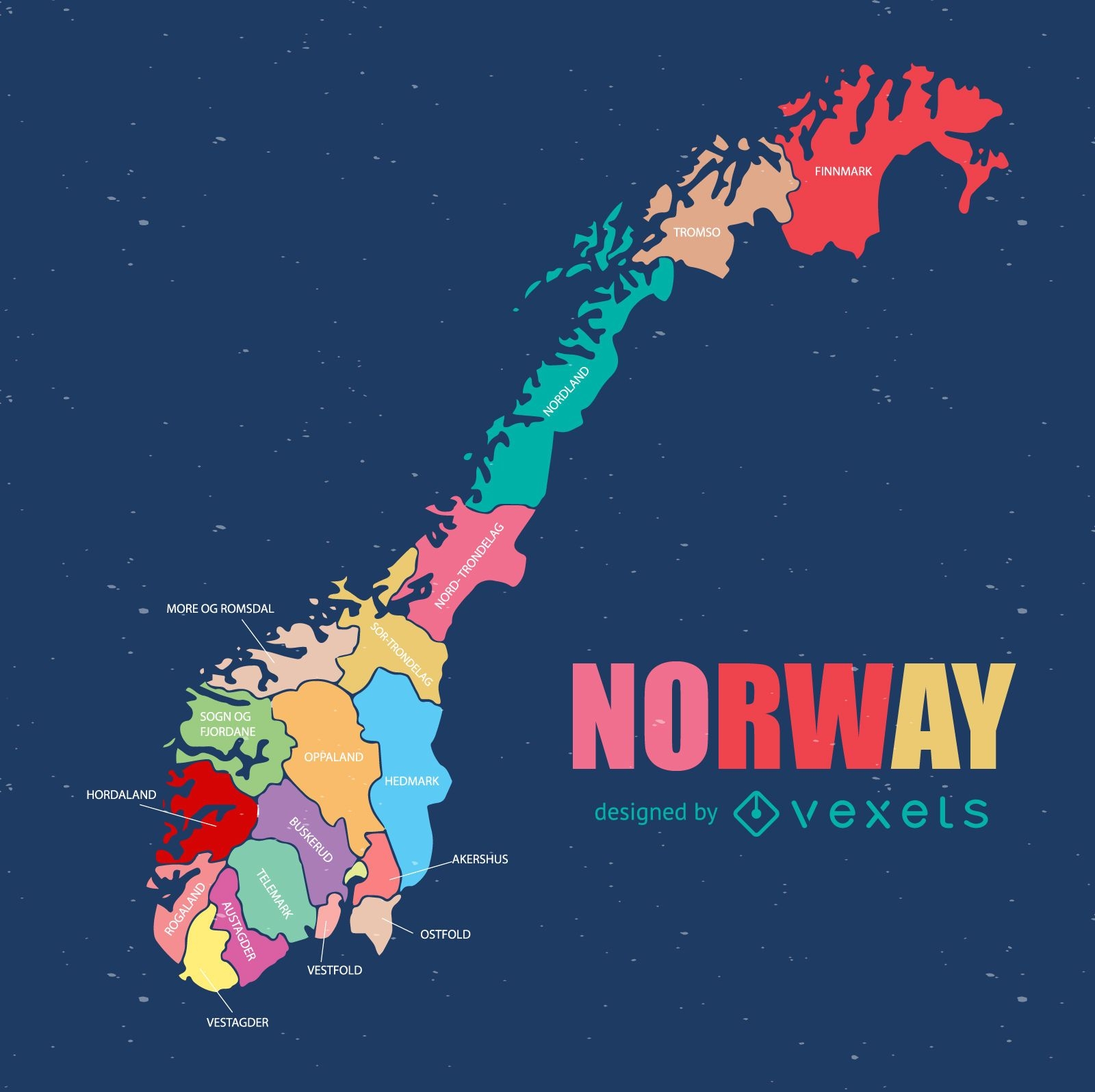
Norway regional county map
Choose a folder
All favorites
Create new
Save
Norway regional county map
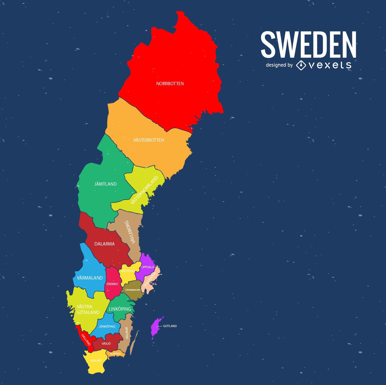
Sweden colored county map
Choose a folder
All favorites
Create new
Save
Sweden colored county map
Premium
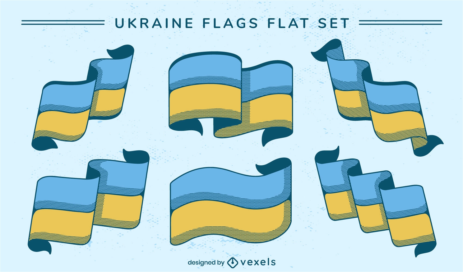
Ukraine flags set design
Choose a folder
All favorites
Create new
Save
Ukraine flags set design
Premium
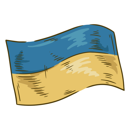
Ukraine illustration flag PNG Design
Choose a folder
All favorites
Create new
Save
Ukraine illustration flag PNG Design
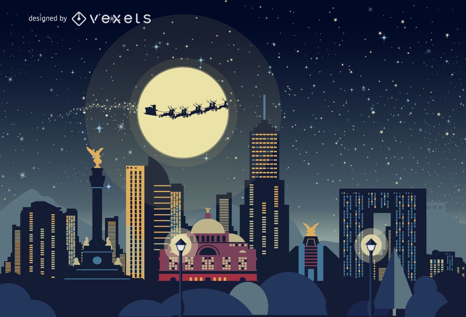
Mexico Christmas skyline
Choose a folder
All favorites
Create new
Save
Mexico Christmas skyline
UEFA Euro 2016 France logo
Choose a folder
All favorites
Create new
Save
UEFA Euro 2016 France logo
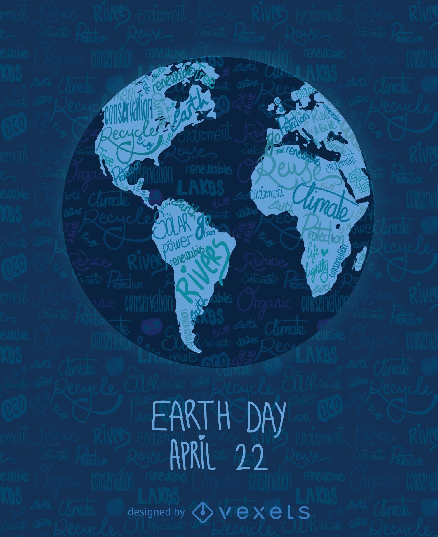
Earth Day written world map
Choose a folder
All favorites
Create new
Save
Earth Day written world map
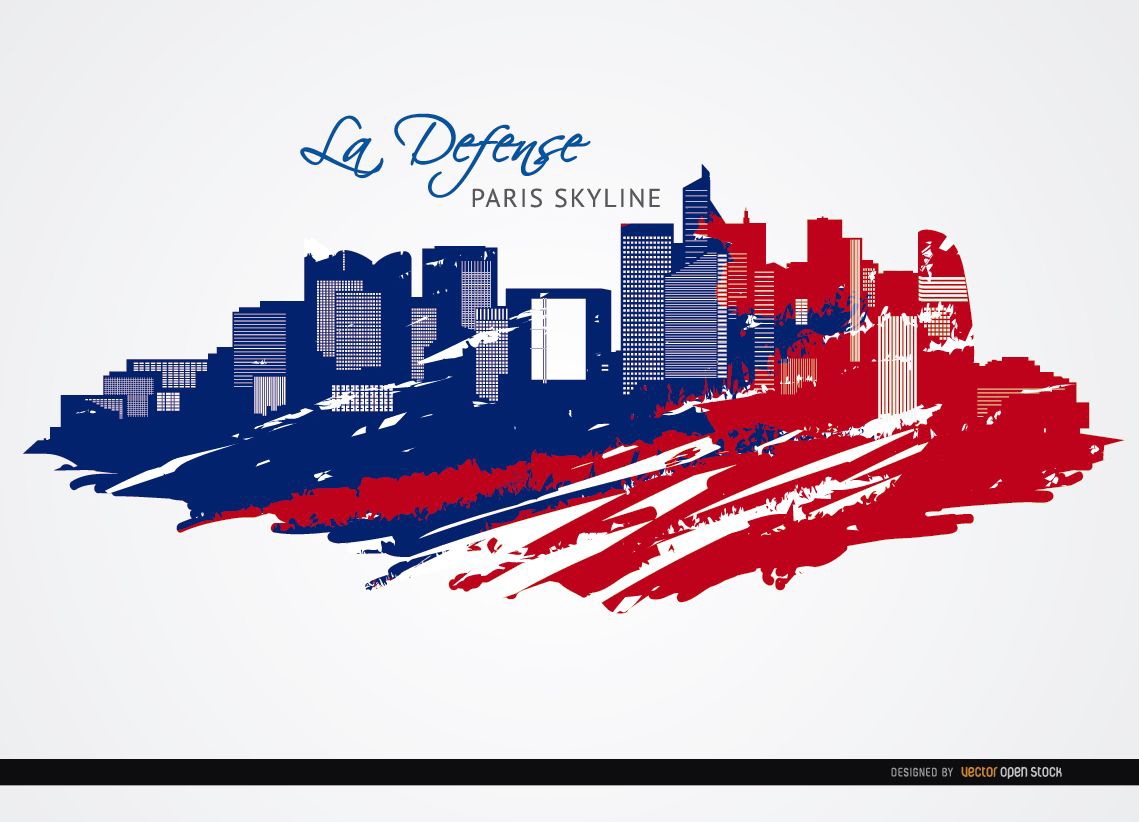
La Défense Paris skyline background
Choose a folder
All favorites
Create new
Save
La Défense Paris skyline background
Editable text
Print ready
for Merch
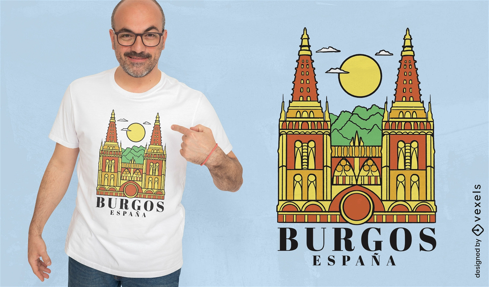
Burgos Spain t-shirt design
Choose a folder
All favorites
Create new
Save
Burgos Spain t-shirt design
Premium
Athens skyline doodle sticker PNG Design
Choose a folder
All favorites
Create new
Save
Athens skyline doodle sticker PNG Design
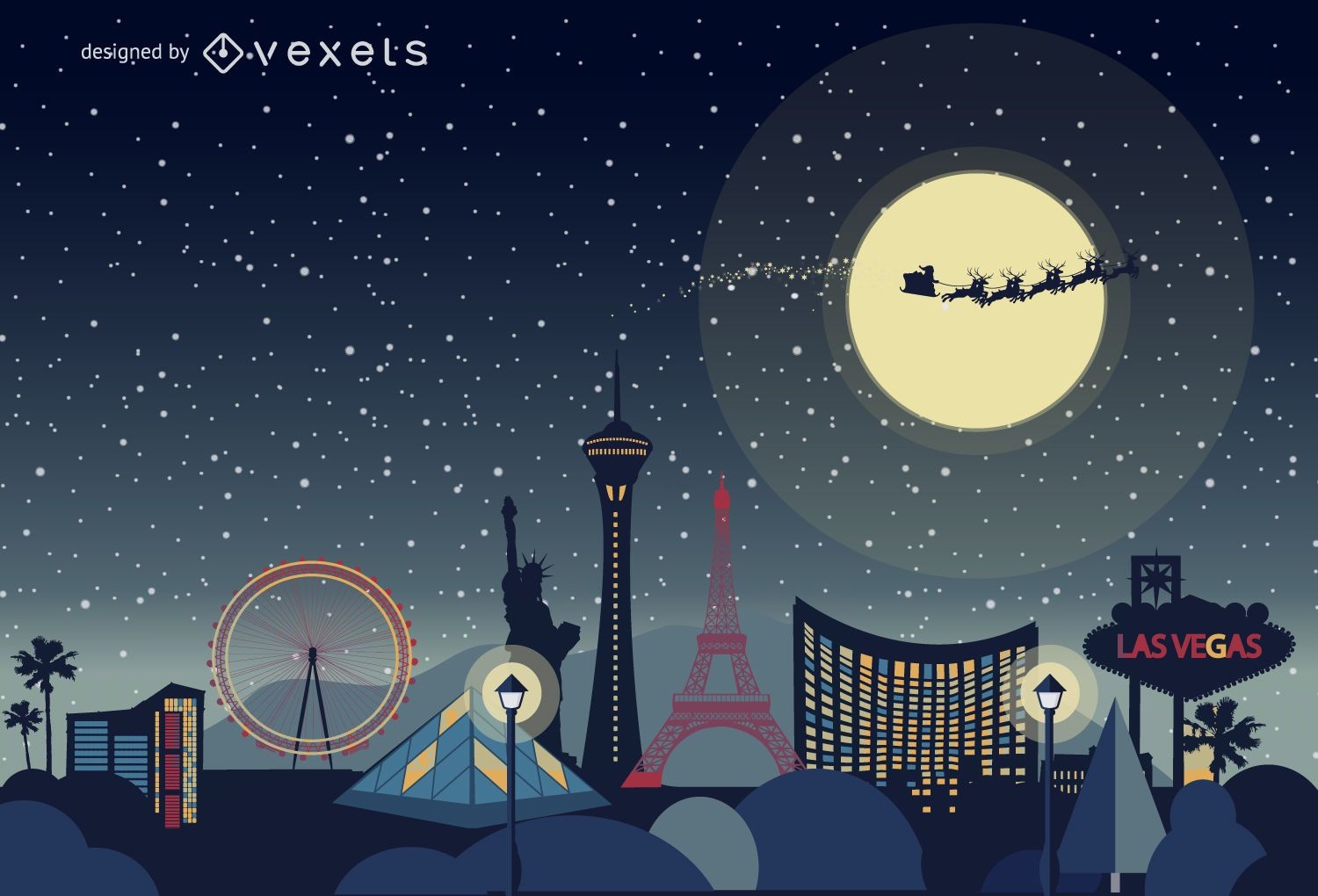
Las Vegas Christmas skyline
Choose a folder
All favorites
Create new
Save
Las Vegas Christmas skyline
World landmarks collage silhouettes
Choose a folder
All favorites
Create new
Save
World landmarks collage silhouettes
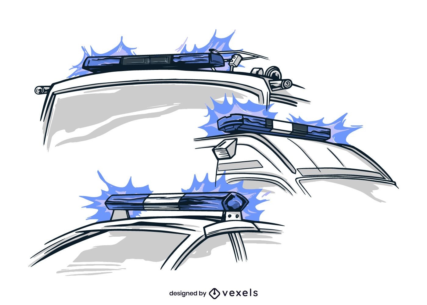
Vehicle lights hand-drawn
Choose a folder
All favorites
Create new
Save
Vehicle lights hand-drawn
Premium
Netherlands windmill skyline PNG Design
Choose a folder
All favorites
Create new
Save
Netherlands windmill skyline PNG Design
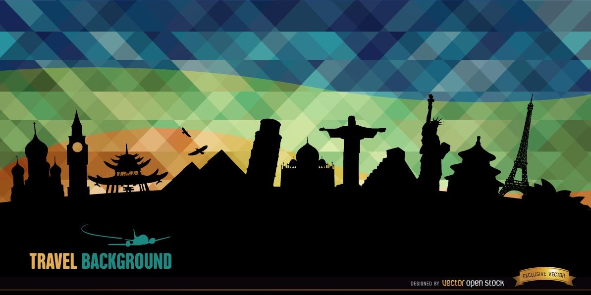
World monuments silhouettes background
Choose a folder
All favorites
Create new
Save
World monuments silhouettes background
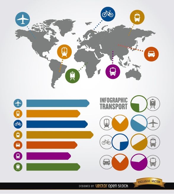
Travel infographic transport elements
Choose a folder
All favorites
Create new
Save
Travel infographic transport elements
Boost Your Business
With The Leading Graphic Platform For Merch.
SEE PLANS
Next
of 7
prev page
next page