Design Library
New Merch Designs
T-Shirts
Vectors
Trending Merch Designs
PNGs & SVGs
Mockups
T-Shirt PSD Templates
Explore Designs
KDP Designs
Posters
Mugs
Phone Cases
Tote Bags
Pillows
Design Tools
Merch Designer
New!
Mockup Generator
AI Design Generator
Image Vectorizer
Quote Generator
T-Shirt Maker (Old)
Resources
Merch Digest
Blog
Help Center
Learn About Merch
Feedback
Corporate Solutions
Enterprise
API Access
Design Studio
Bulk Design Production
Pricing
Loading...
Sign Up
Login
All
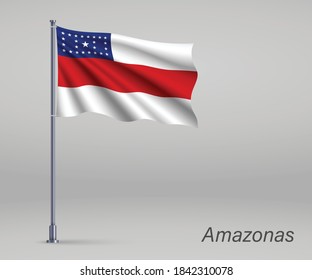
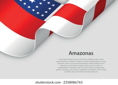
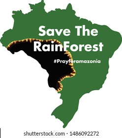
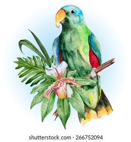
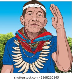
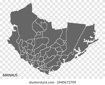
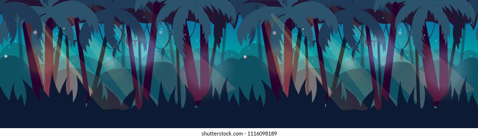
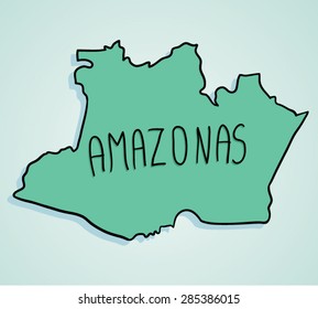
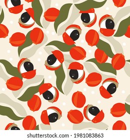
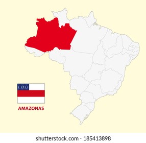
amazonas
Design Library
New Merch Designs
T-Shirts
Vectors
Trending Merch Designs
PNGs & SVGs
Mockups
T-Shirt PSD Templates
Explore Designs
KDP Designs
Posters
Mugs
Phone Cases
Tote Bags
Pillows
Design Tools
Merch Designer
New!
Mockup Generator
AI Design Generator
Image Vectorizer
Quote Generator
T-Shirt Maker (Old)
Resources
Merch Digest
Blog
Help Center
Learn About Merch
Feedback
Corporate Solutions
Enterprise
API Access
Design Studio
Bulk Design Production
PLANS
All
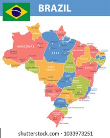
amazonas
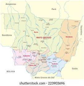
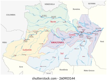
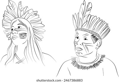
1161 amazonas designs graphics for t-shirt and print on demand merch
Download amazonas t-shirt designs and other merch graphics like book covers, phone cases, tote bags and more.
Sort by
Most relevant
Sponsored results by
Get 15% off with code: VEXELS15
Show more
Print ready
for Merch
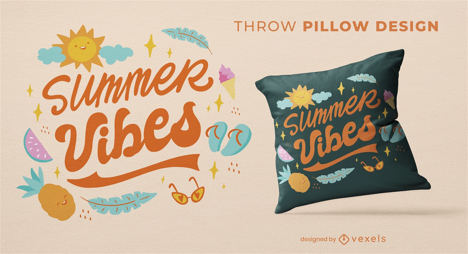
Summer vibes lettering throw pillow design
Choose a folder
All favorites
Create new
Save
Summer vibes lettering throw pillow design
Print ready
for Merch
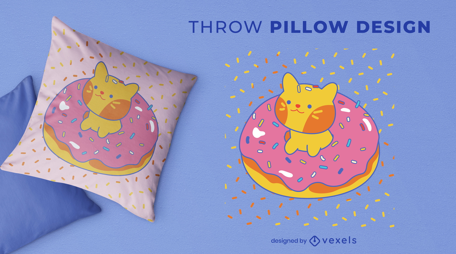
Cute cat in pink donut throw pillow design
Choose a folder
All favorites
Create new
Save
Cute cat in pink donut throw pillow design
Print ready
for Merch
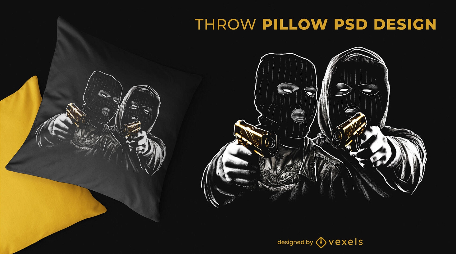
Thief couple crime throw pillow design
Choose a folder
All favorites
Create new
Save
Thief couple crime throw pillow design
Editable text
Print ready
for Merch
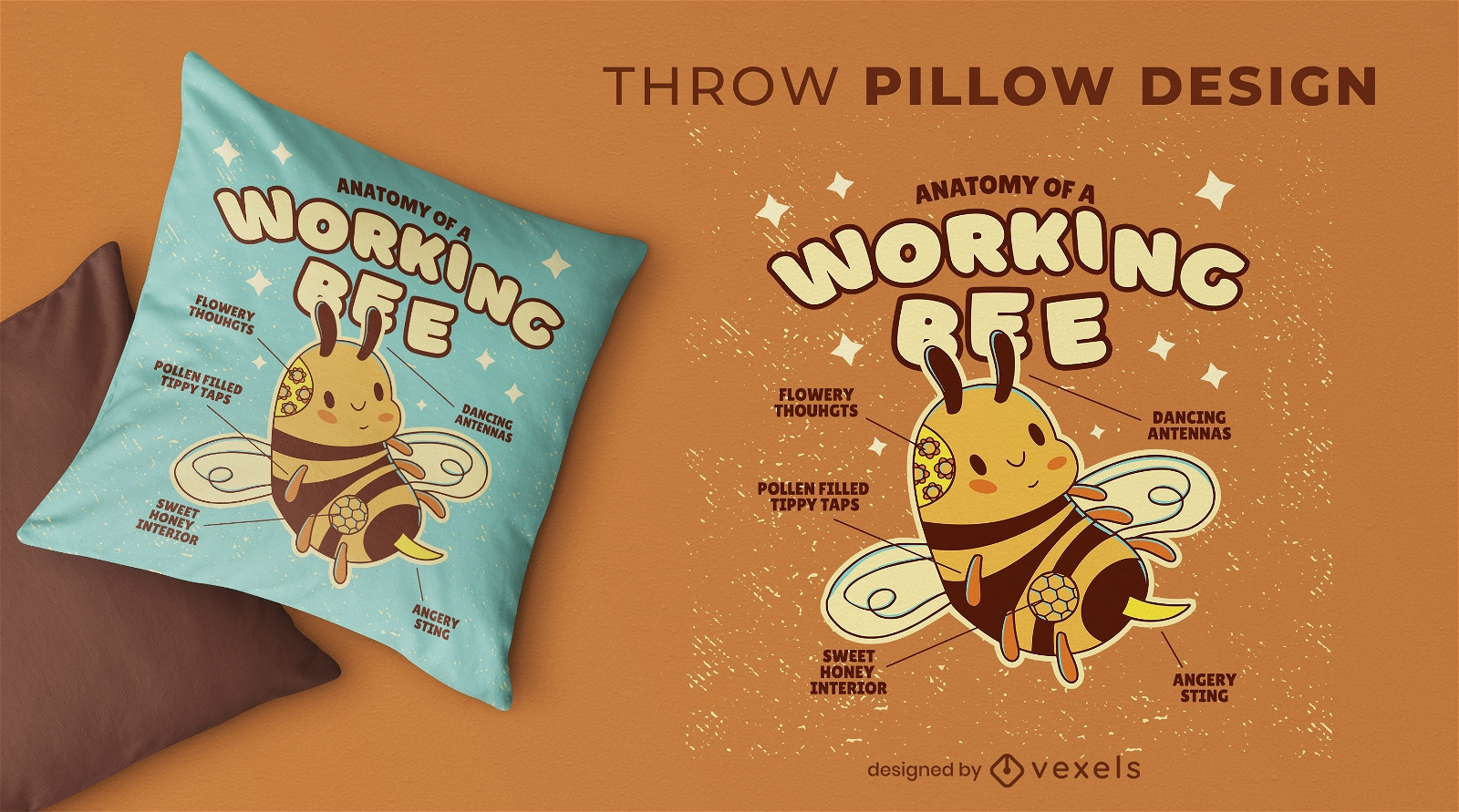
Working bee anatomy throw pillow design
Choose a folder
All favorites
Create new
Save
Working bee anatomy throw pillow design
Editable text
Print ready
for Merch
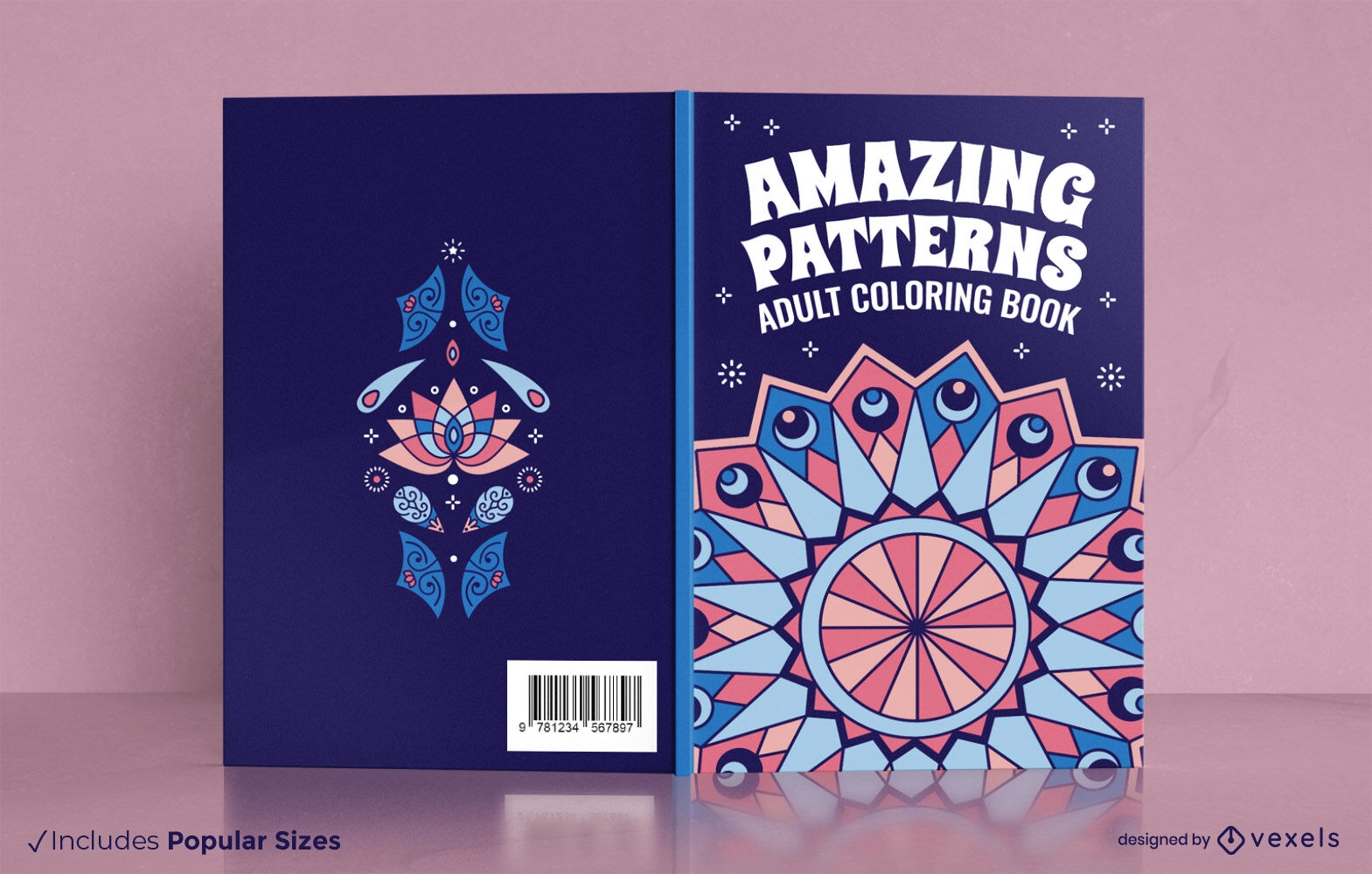
Adults mandala coloring book cover design
Choose a folder
All favorites
Create new
Save
Adults mandala coloring book cover design
Print ready
for Merch
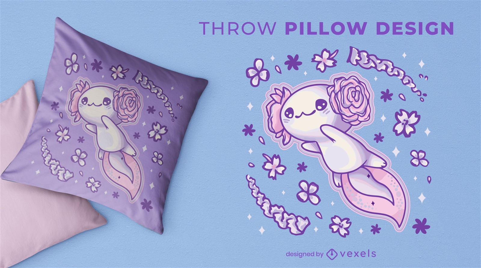
Flying axolotl animal cute throw pillow design
Choose a folder
All favorites
Create new
Save
Flying axolotl animal cute throw pillow design
Editable text
Print ready
for Merch
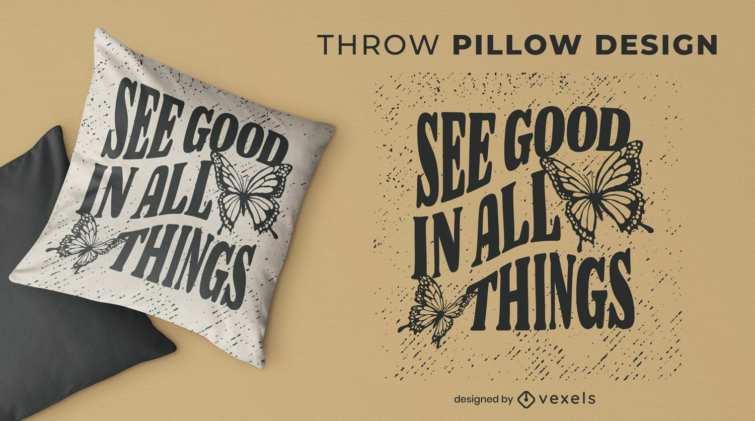
See good butterfly throw pillow design
Choose a folder
All favorites
Create new
Save
See good butterfly throw pillow design
Editable text
Print ready
for Merch
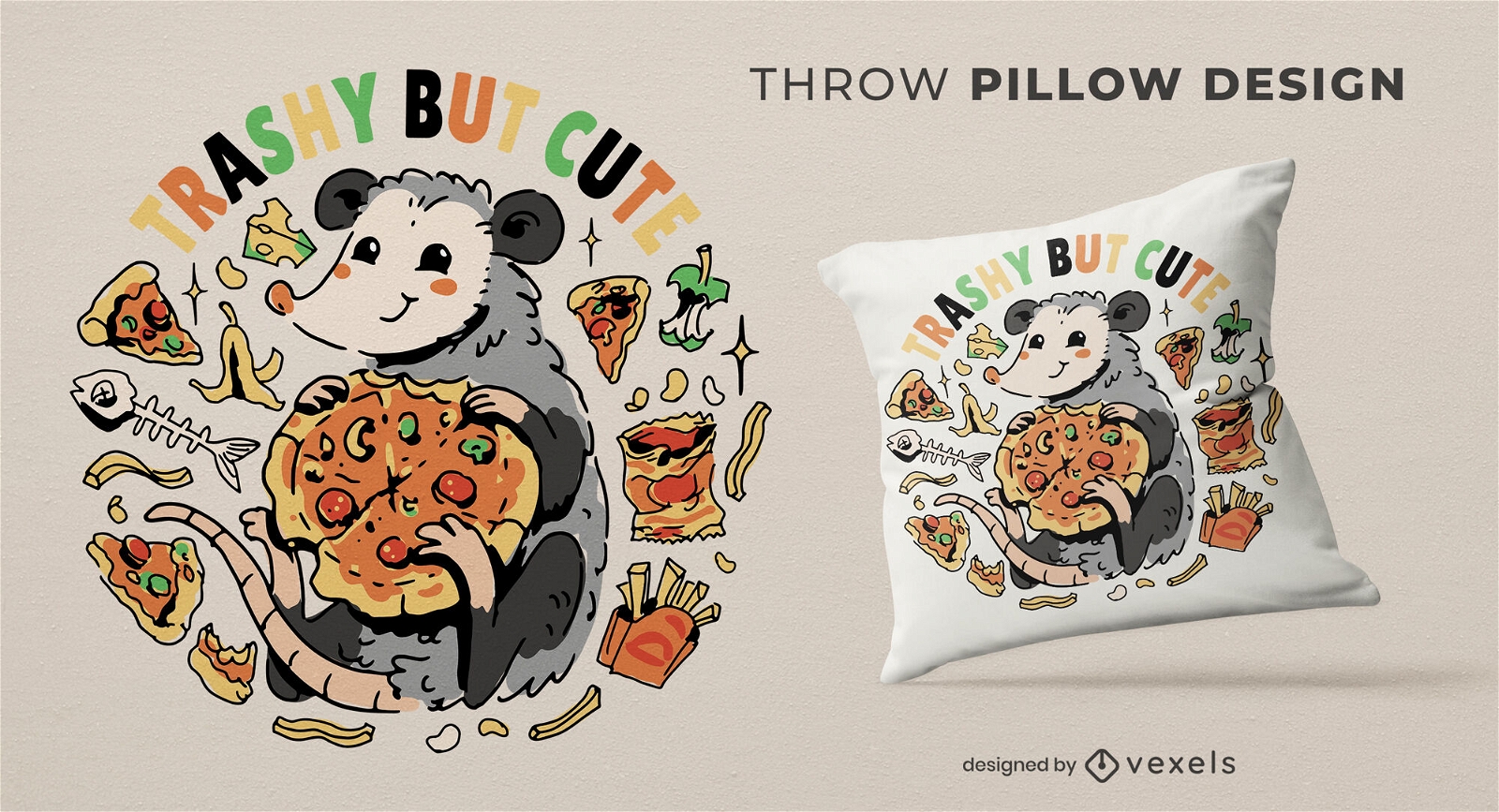
Cute possum eating pizza throw pillow design
Choose a folder
All favorites
Create new
Save
Cute possum eating pizza throw pillow design
Editable text
Print ready
for Merch
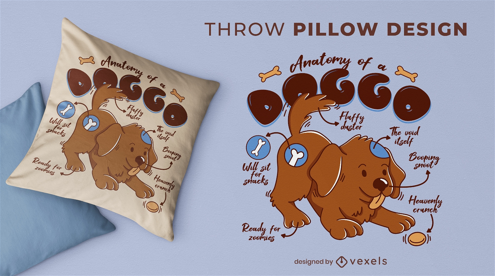
Dog anatomy throw pillow design
Choose a folder
All favorites
Create new
Save
Dog anatomy throw pillow design
Print ready
for Merch
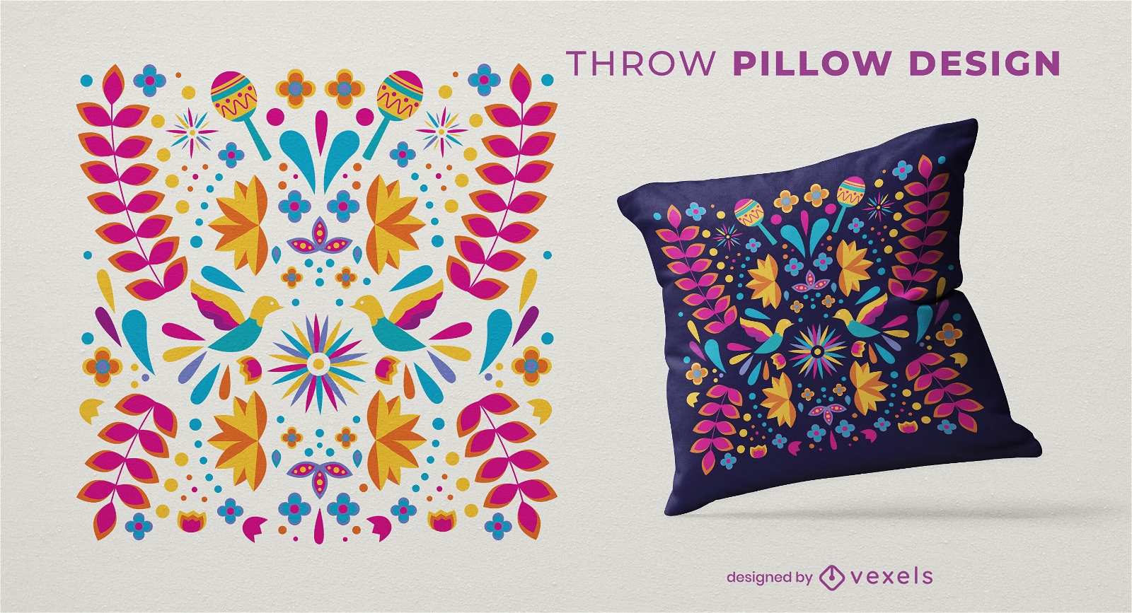
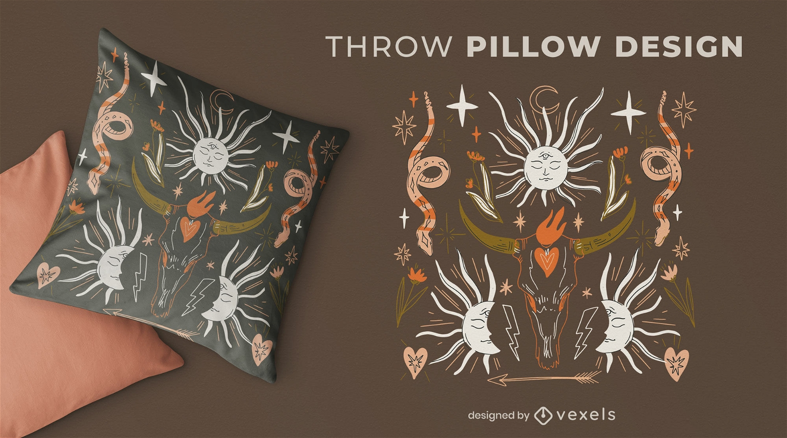
Cinco de Mayo decorations throw pillow design
Choose a folder
All favorites
Create new
Save
Cinco de Mayo decorations throw pillow design
Print ready
for Merch
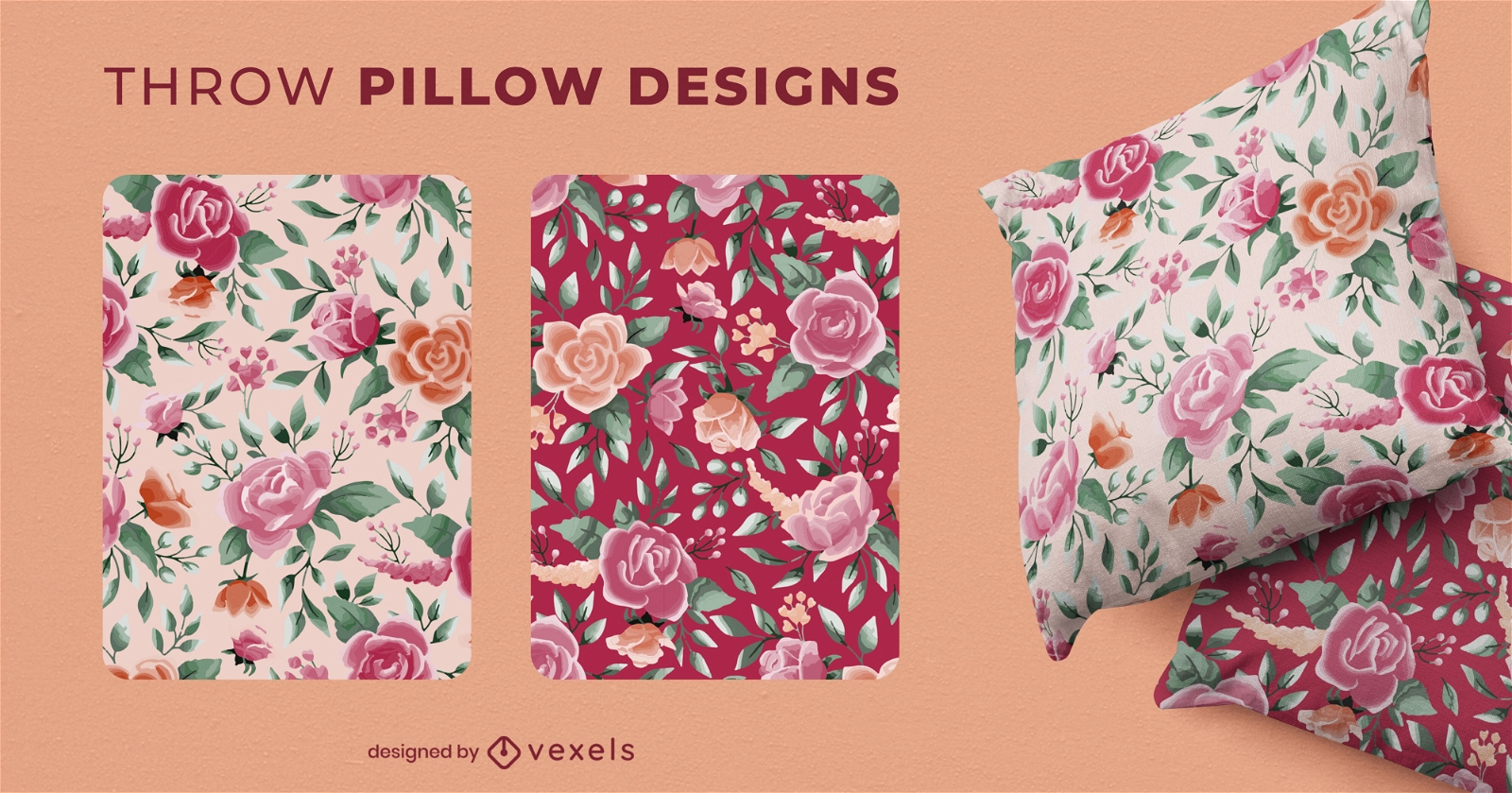
Watercolor flowers throw pillow design
Choose a folder
All favorites
Create new
Save
Watercolor flowers throw pillow design
Print ready
for Merch
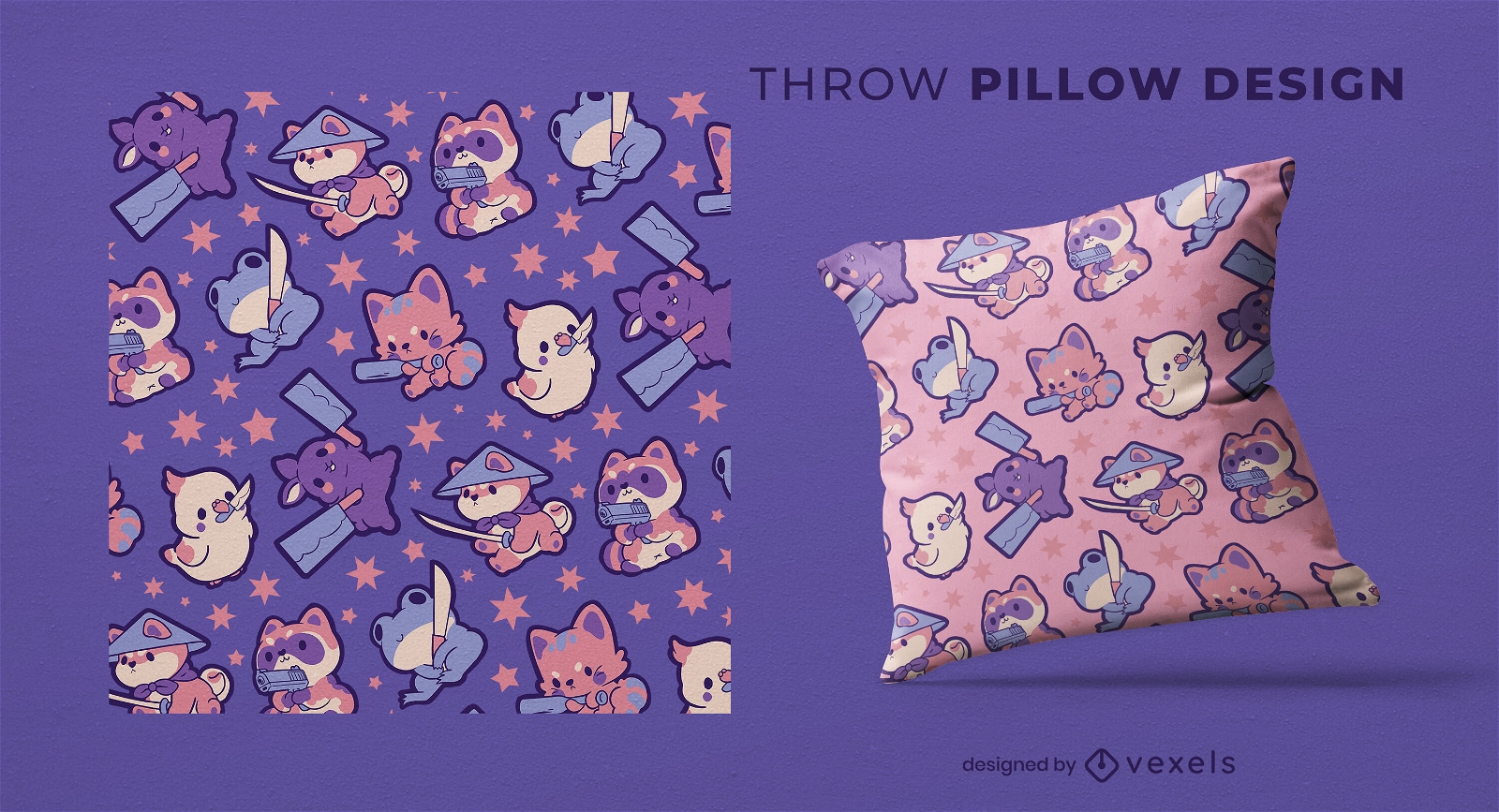
Cute armed animals throw pillow design
Choose a folder
All favorites
Create new
Save
Cute armed animals throw pillow design
Print ready
for Merch
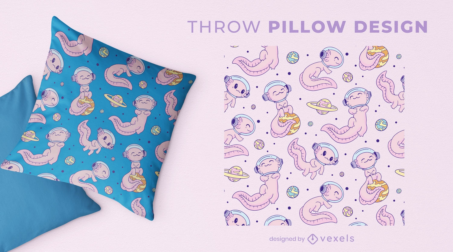
Space axolotl throw pillow design
Choose a folder
All favorites
Create new
Save
Space axolotl throw pillow design
Print ready
for Merch
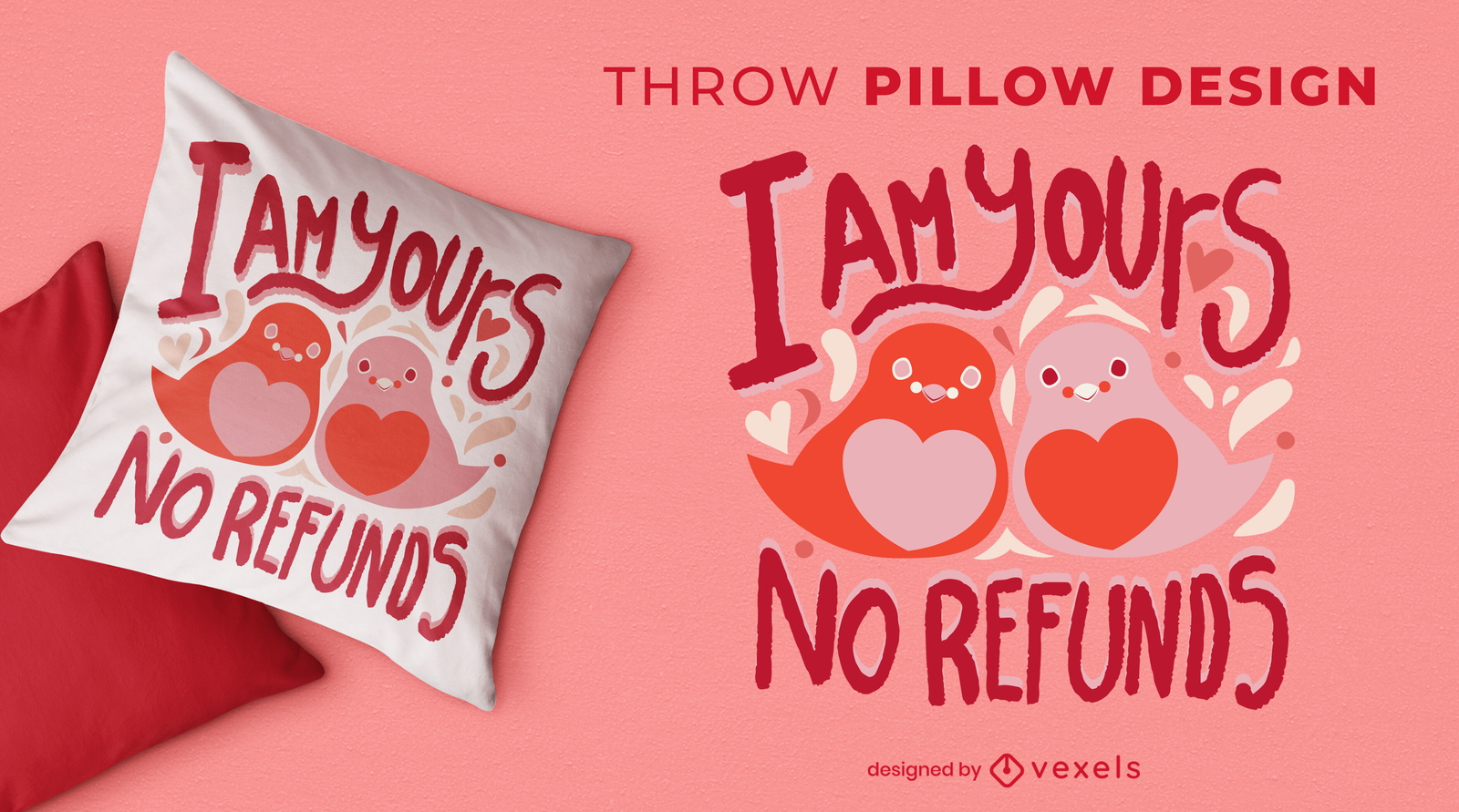
Awesome Valentine's quote throw pillow desingn
Choose a folder
All favorites
Create new
Save
Awesome Valentine's quote throw pillow desingn
Print ready
for Merch
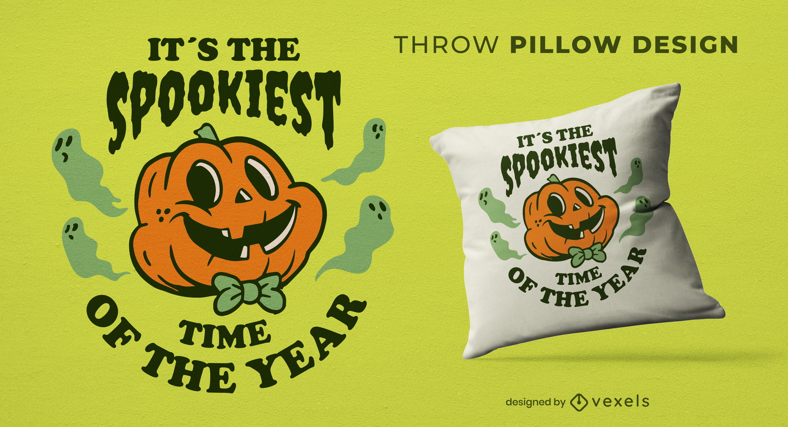
Spooky halloween pumpkin throw pillow design
Choose a folder
All favorites
Create new
Save
Spooky halloween pumpkin throw pillow design
Editable text
Print ready
for Merch
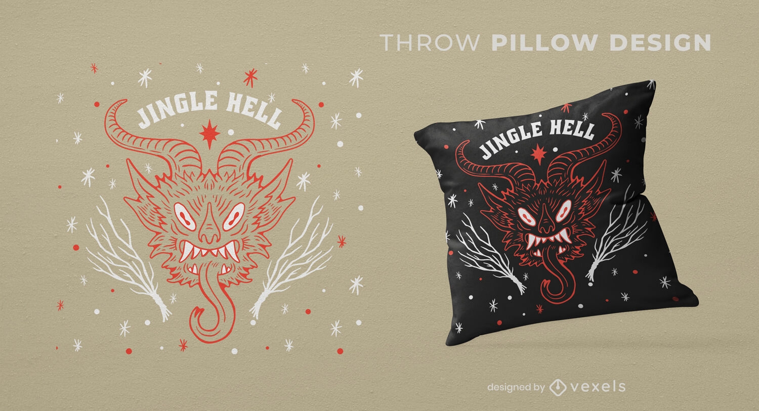
Christmas monster throw pillow design
Choose a folder
All favorites
Create new
Save
Christmas monster throw pillow design
Print ready
for Merch
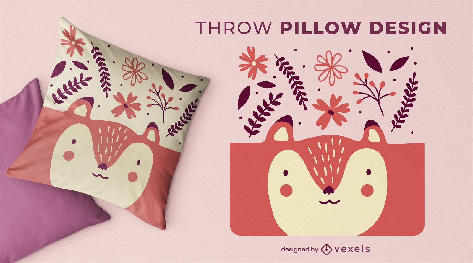
Cute fox with flowers throw pillow design
Choose a folder
All favorites
Create new
Save
Cute fox with flowers throw pillow design
Print ready
for Merch
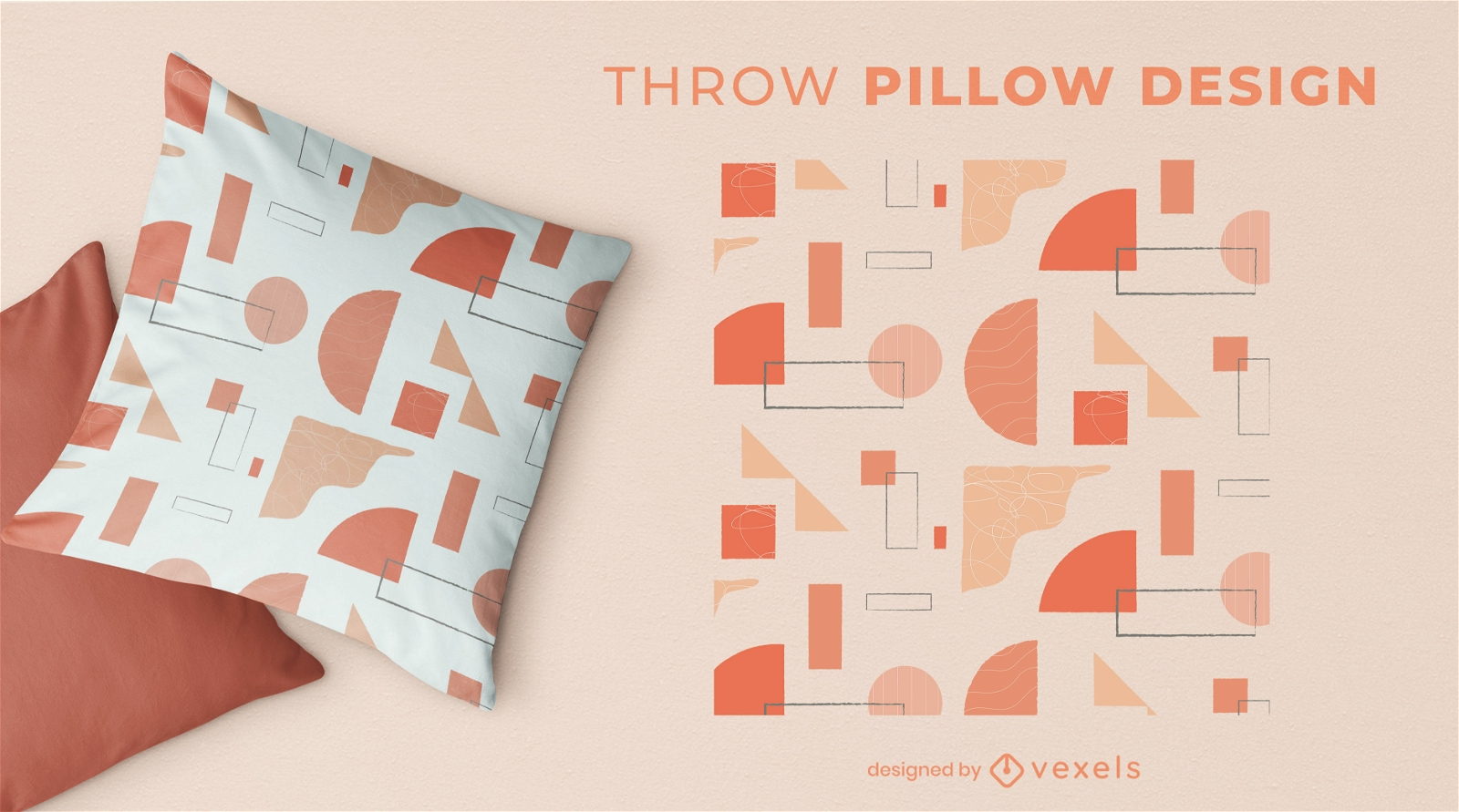
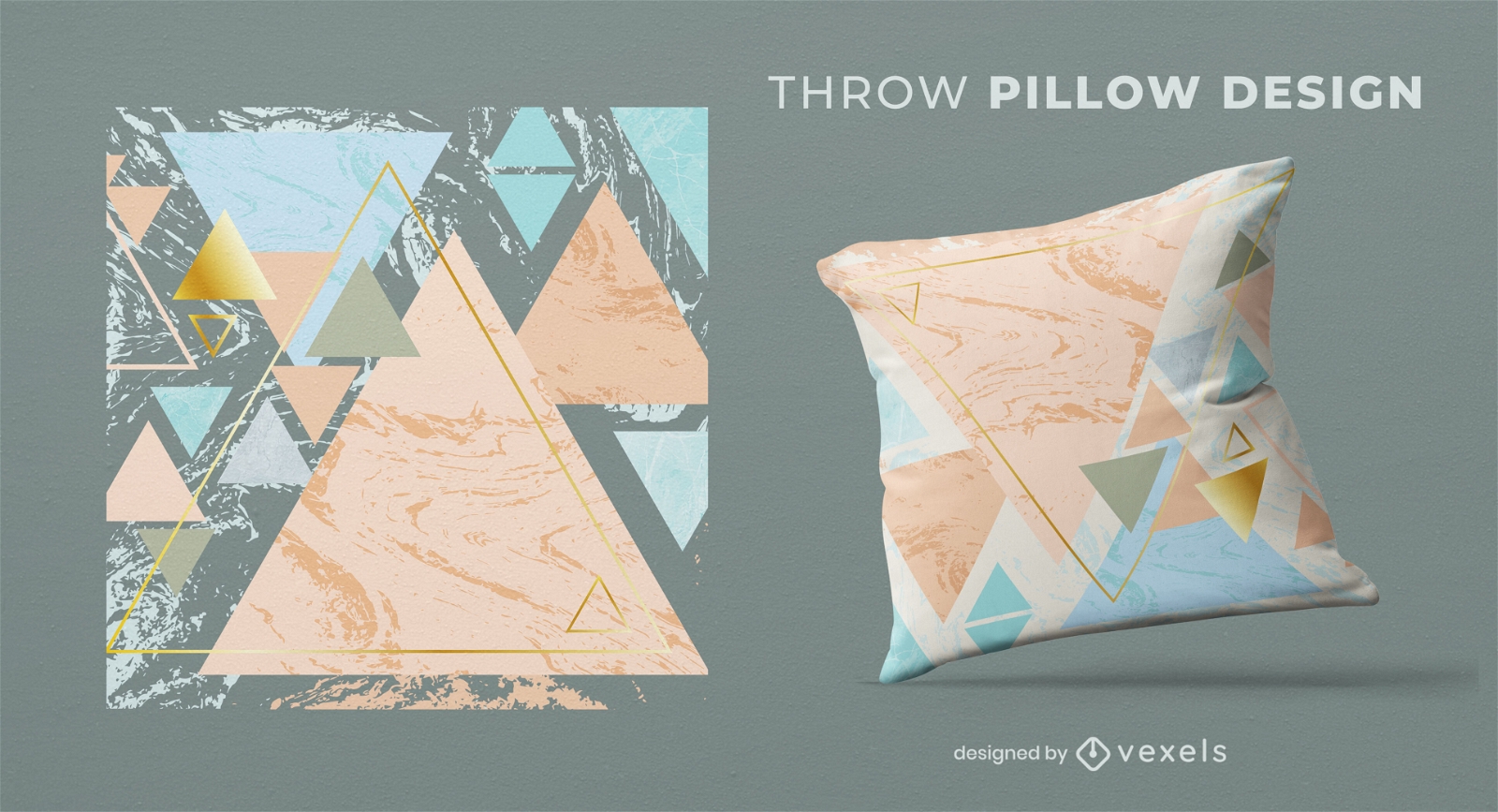
Abstract pattern throw pillow design
Choose a folder
All favorites
Create new
Save
Abstract pattern throw pillow design
Print ready
for Merch
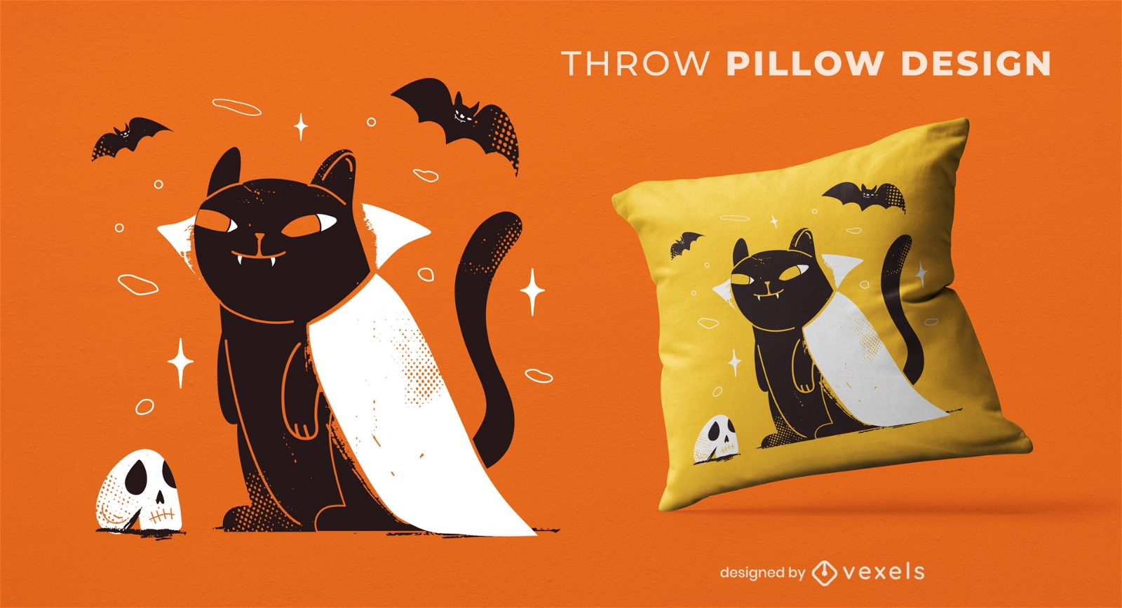
Black Halloween Cat Vampire Thorw Pillow Design
Choose a folder
All favorites
Create new
Save
Black Halloween Cat Vampire Thorw Pillow Design
Print ready
for Merch
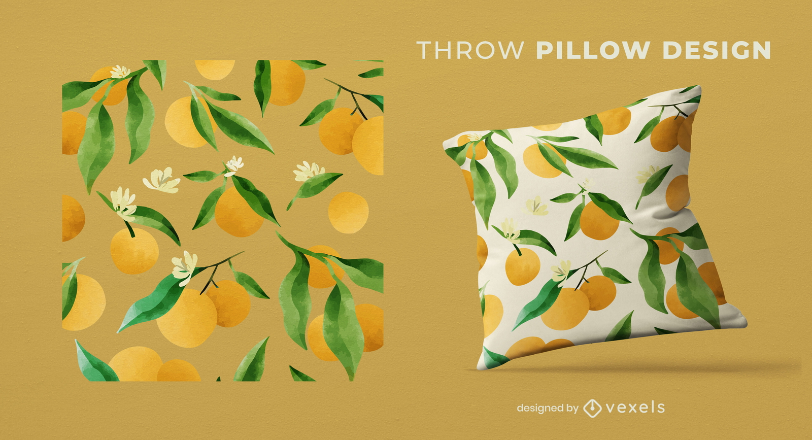
Watercolor oranges pattern pillow design
Choose a folder
All favorites
Create new
Save
Watercolor oranges pattern pillow design
Print ready
for Merch
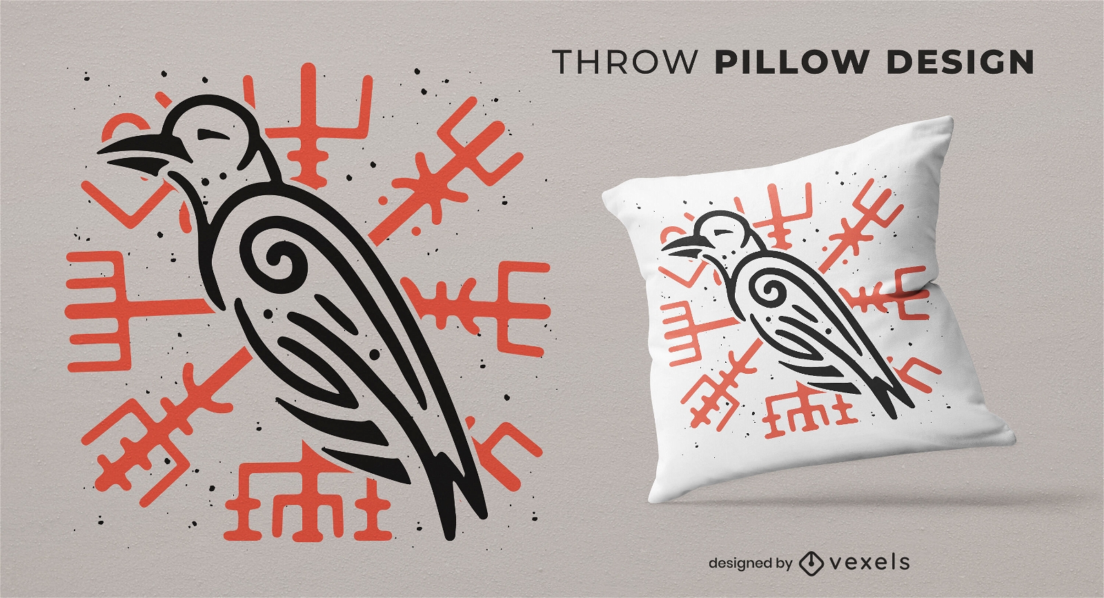
Viking raven throw pillow design
Choose a folder
All favorites
Create new
Save
Viking raven throw pillow design
Print ready
for Merch
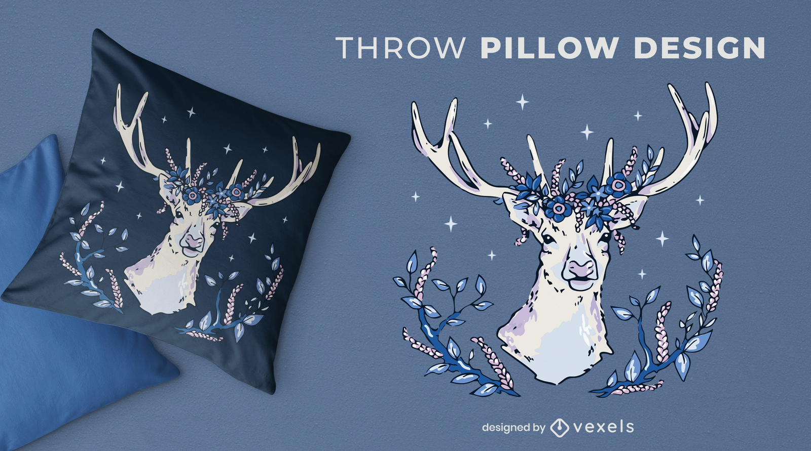
Deer with flowers and leaves throw pillow design
Choose a folder
All favorites
Create new
Save
Deer with flowers and leaves throw pillow design
for Merch
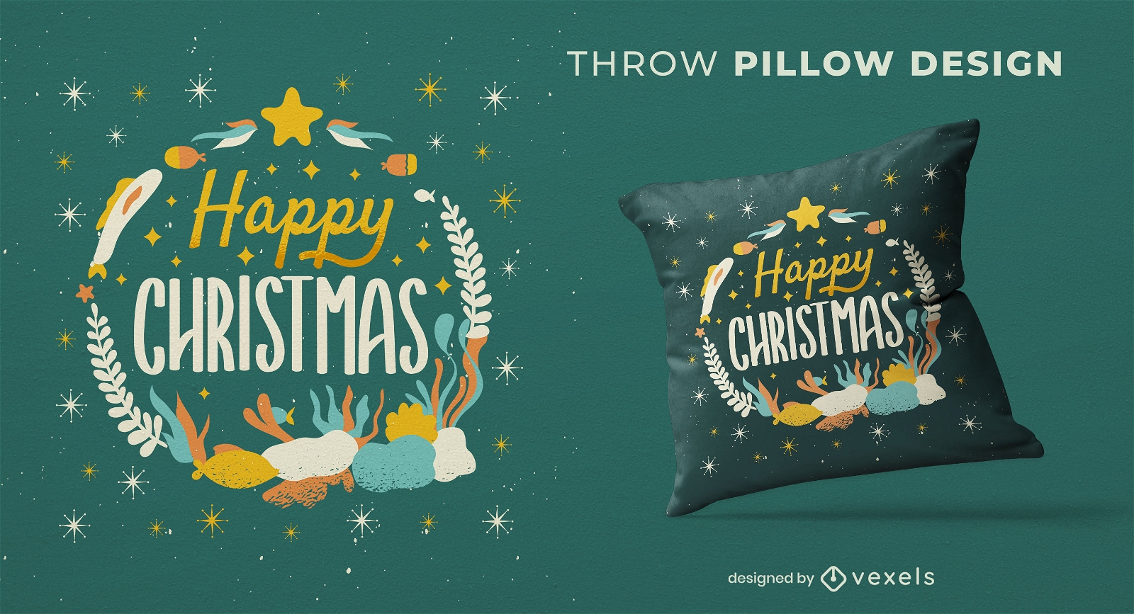
Merry christmas underwater throw pillow
Choose a folder
All favorites
Create new
Save
Merry christmas underwater throw pillow
Editable text
Print ready
for Merch
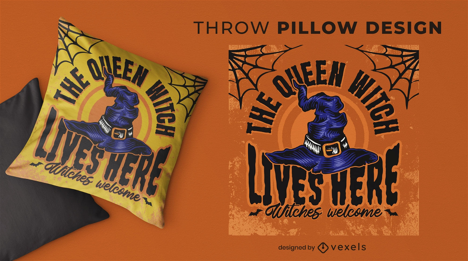
Witch hat throw pillow design
Choose a folder
All favorites
Create new
Save
Witch hat throw pillow design
Print ready
for Merch
Geometric abstract pillow design
Choose a folder
All favorites
Create new
Save
Geometric abstract pillow design
Print ready
for Merch
Mexican boho throw pillow design
Choose a folder
All favorites
Create new
Save
Mexican boho throw pillow design
Print ready
for Merch
Vintage love quote throw pillow design
Choose a folder
All favorites
Create new
Save
Vintage love quote throw pillow design
Print ready
for Merch
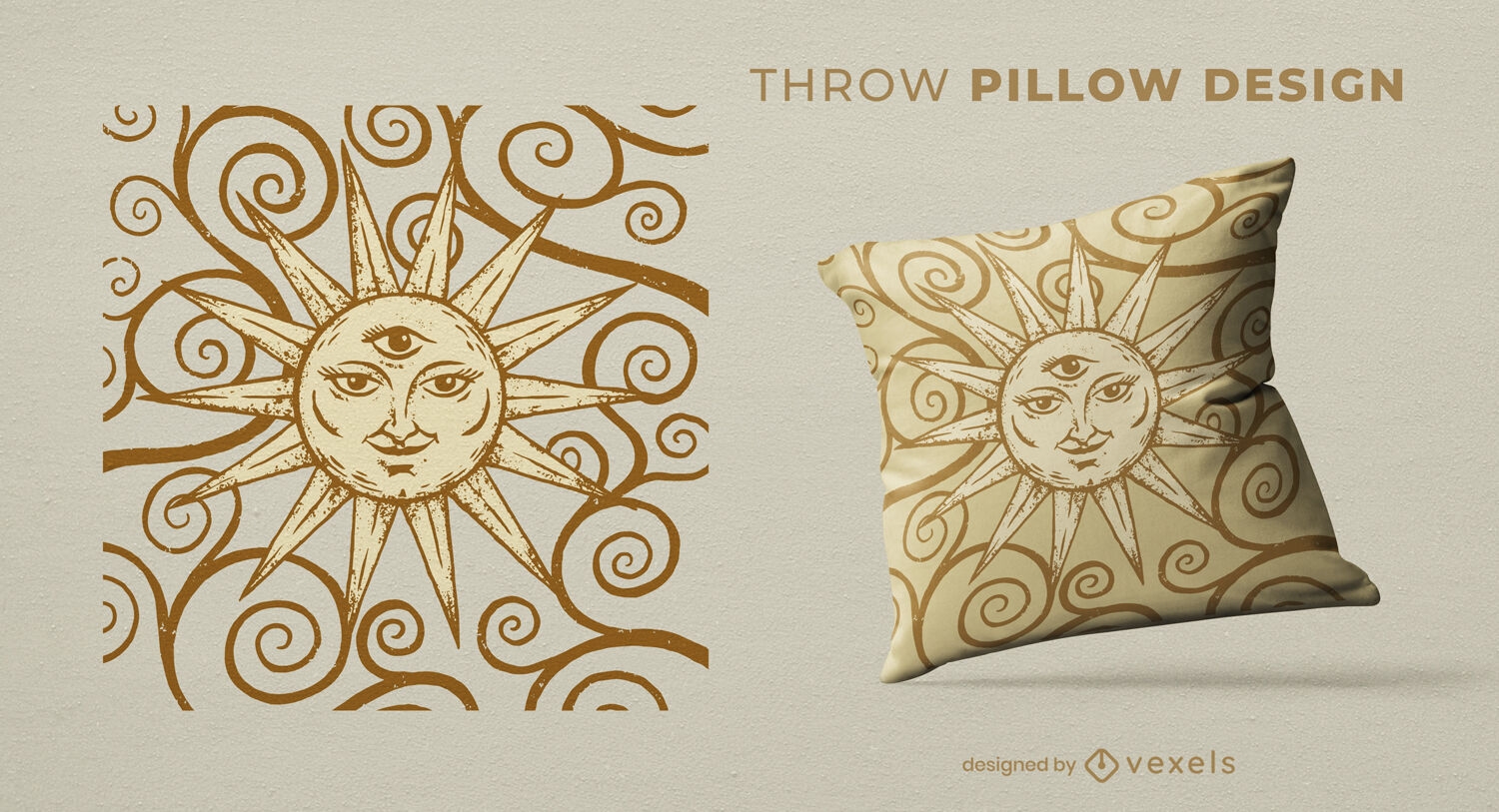
Vintage golden sun throw pillow design
Choose a folder
All favorites
Create new
Save
Vintage golden sun throw pillow design
Print ready
for Merch
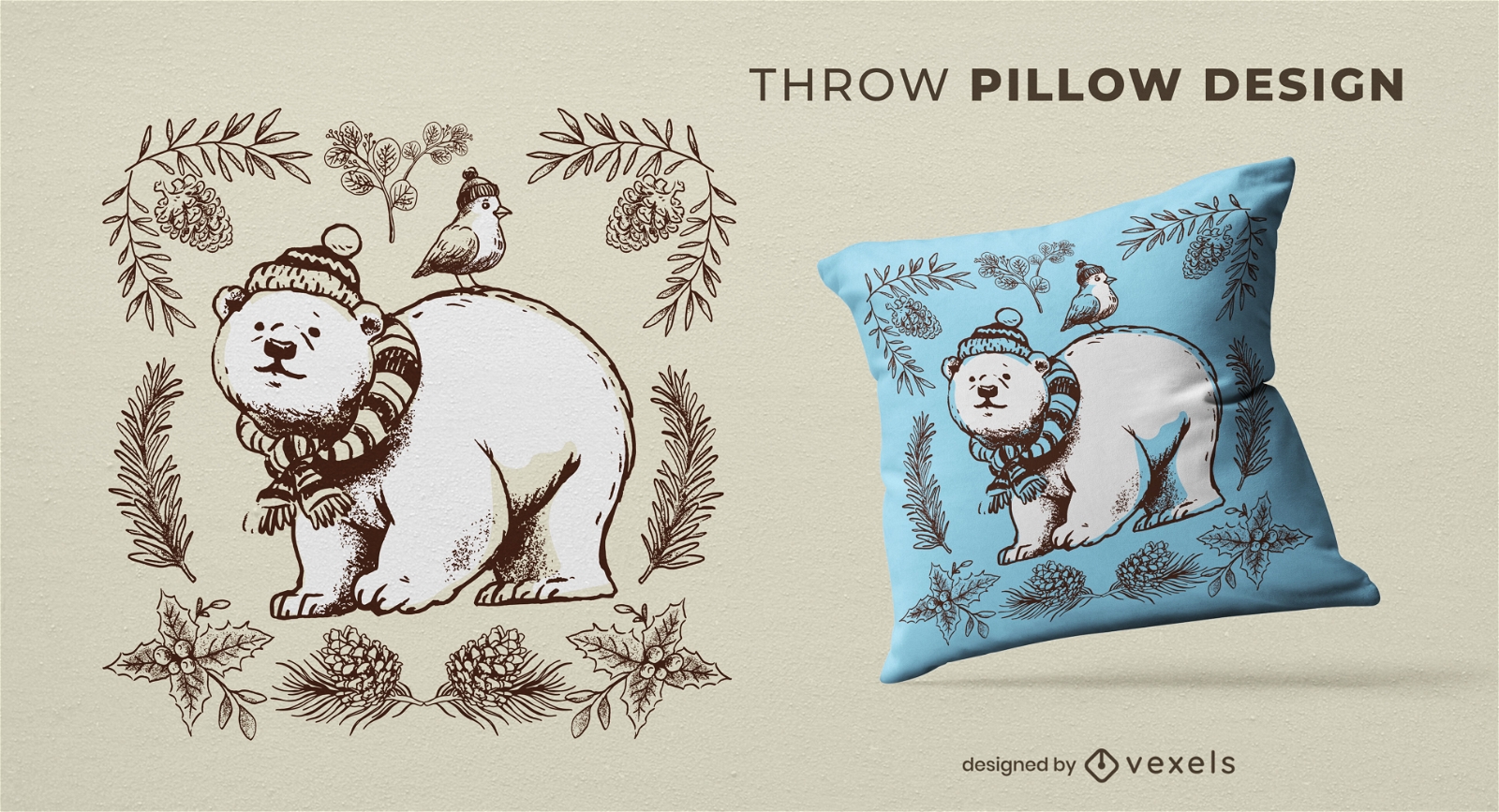
Polar bear animal winter throw pillow design
Choose a folder
All favorites
Create new
Save
Polar bear animal winter throw pillow design
Print ready
for Merch
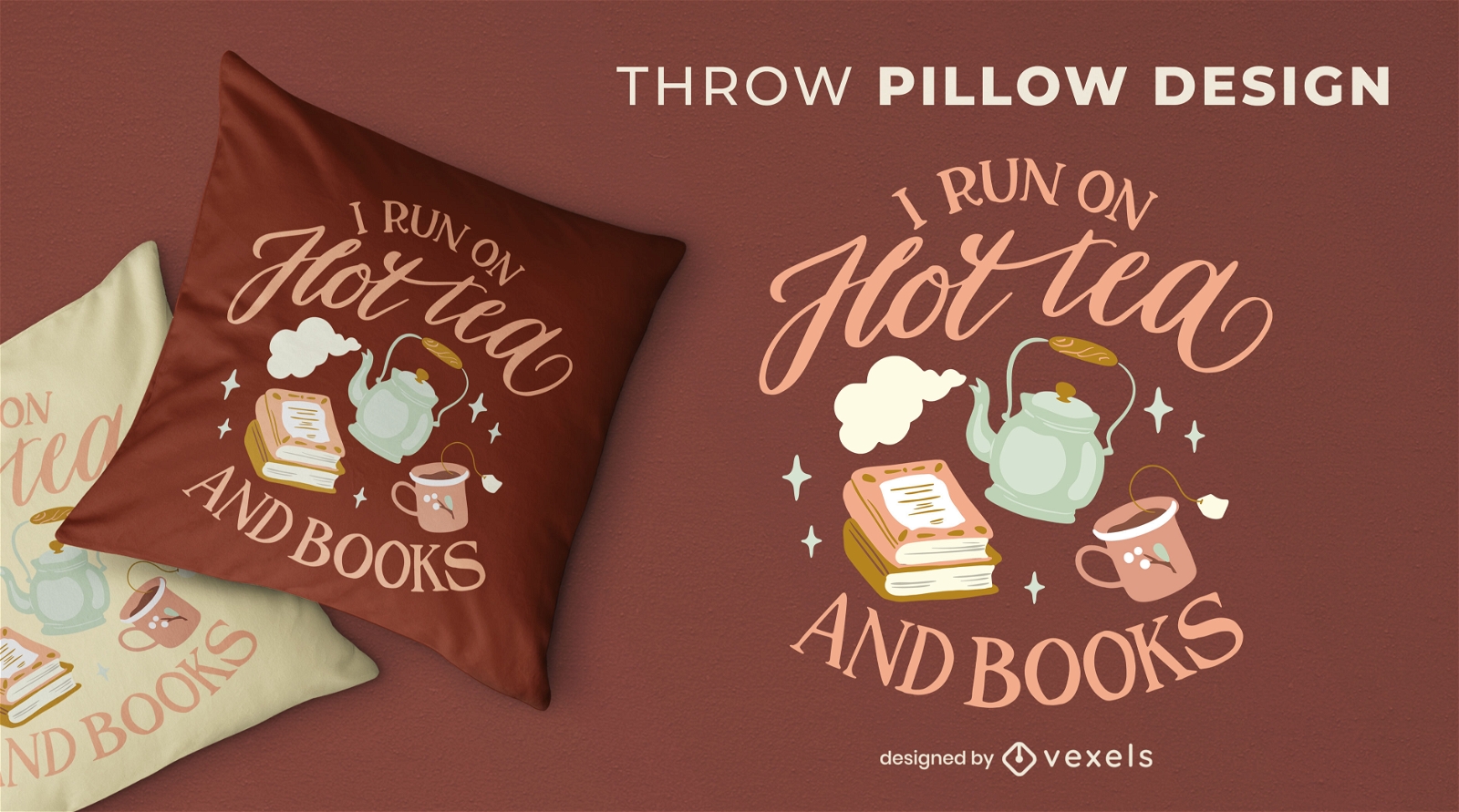
Cozy winter tea and books throw pillow design
Choose a folder
All favorites
Create new
Save
Cozy winter tea and books throw pillow design
Print ready
for Merch
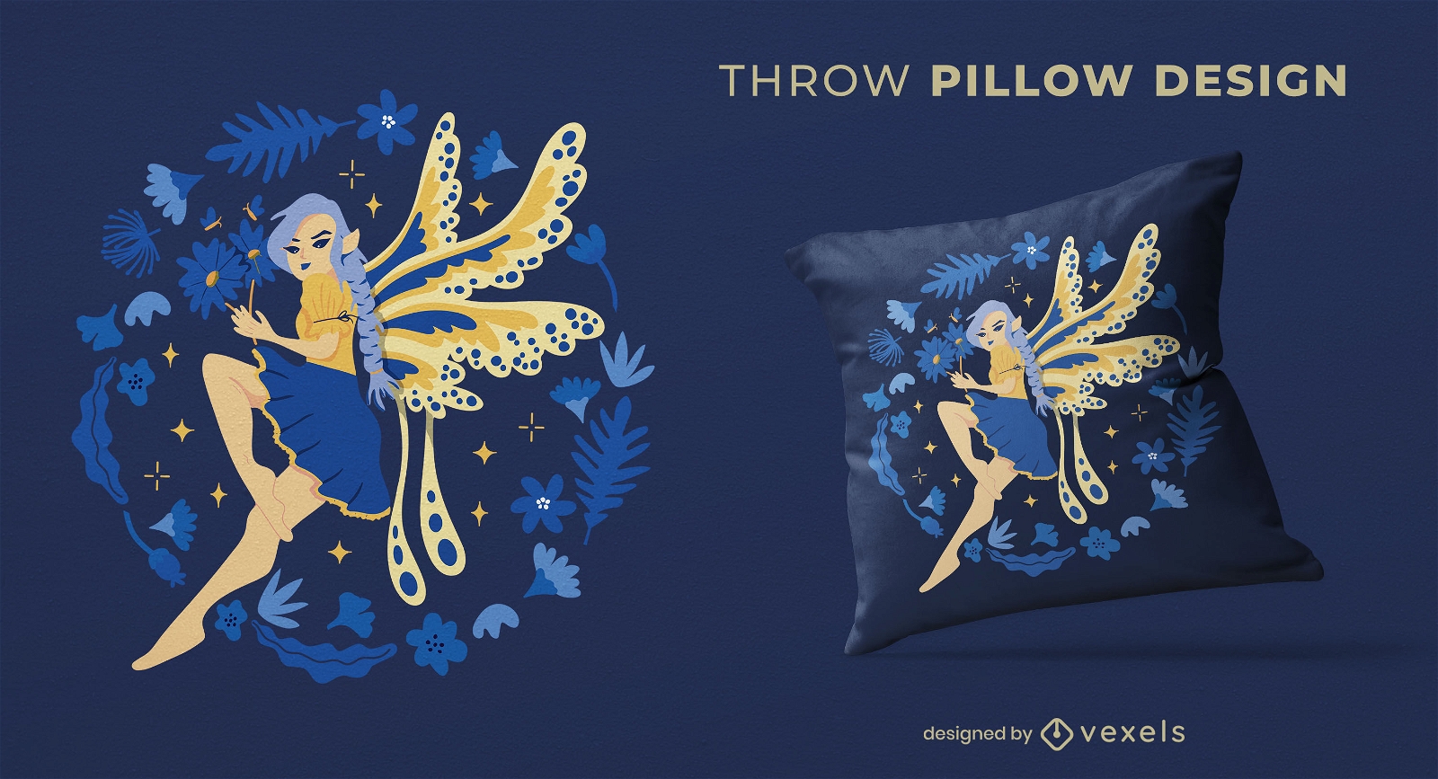
Fairy throw pillow design
Choose a folder
All favorites
Create new
Save
Fairy throw pillow design
Print ready
for Merch
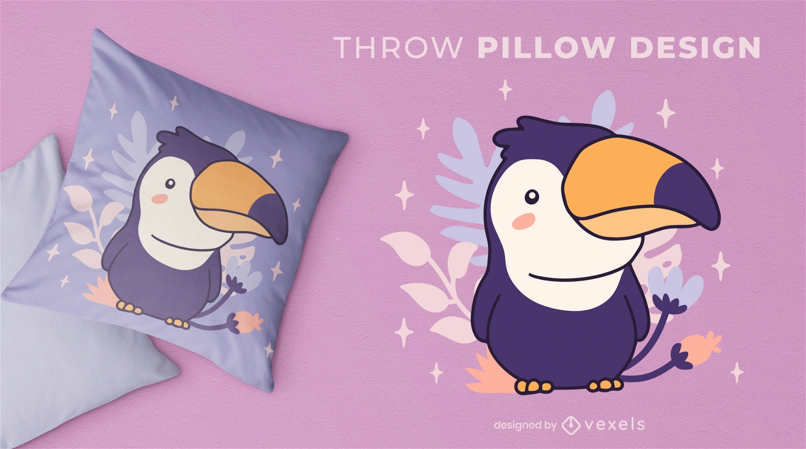
Baby toucan bird throw pillow design
Choose a folder
All favorites
Create new
Save
Baby toucan bird throw pillow design
Editable text
Print ready
for Merch
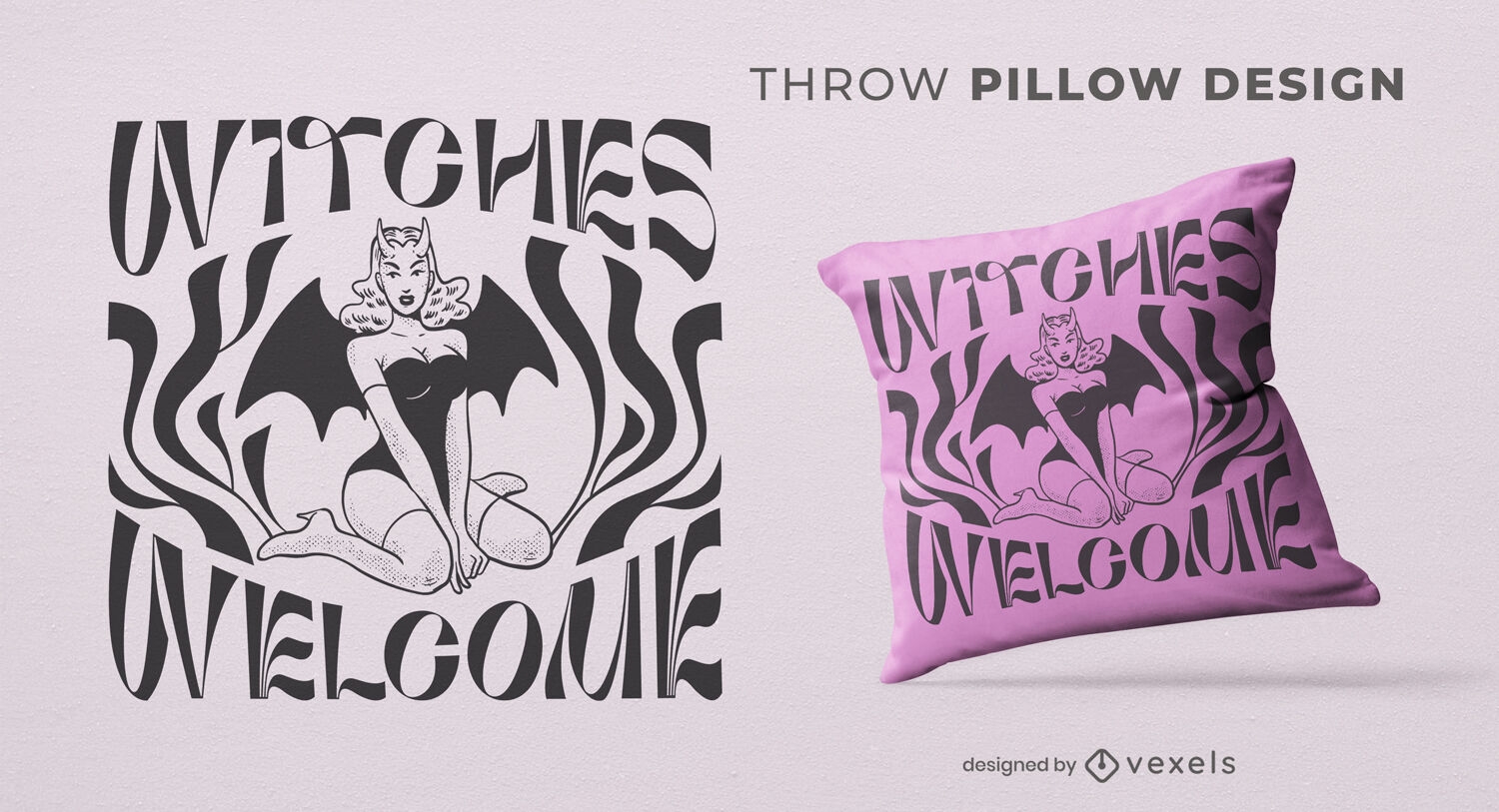
Bat girl witches throw pillow design
Choose a folder
All favorites
Create new
Save
Bat girl witches throw pillow design
Tileable pattern
for Merch
Queen bee throw pillow design
Choose a folder
All favorites
Create new
Save
Queen bee throw pillow design
Print ready
for Merch
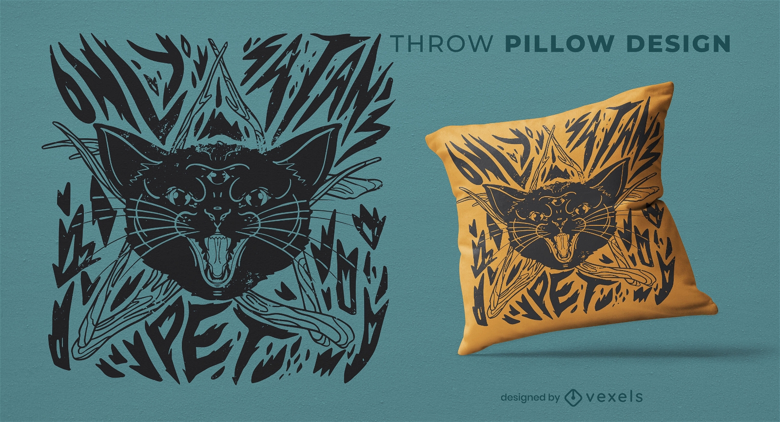
Black witch cat throw pillow design
Choose a folder
All favorites
Create new
Save
Black witch cat throw pillow design
Editable text
Print ready
for Merch
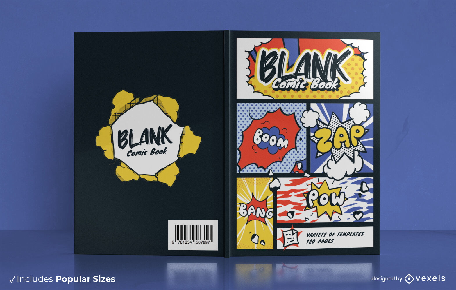
Comic themed book cover design KDP
Choose a folder
All favorites
Create new
Save
Comic themed book cover design KDP
Editable text
Print ready
for Merch
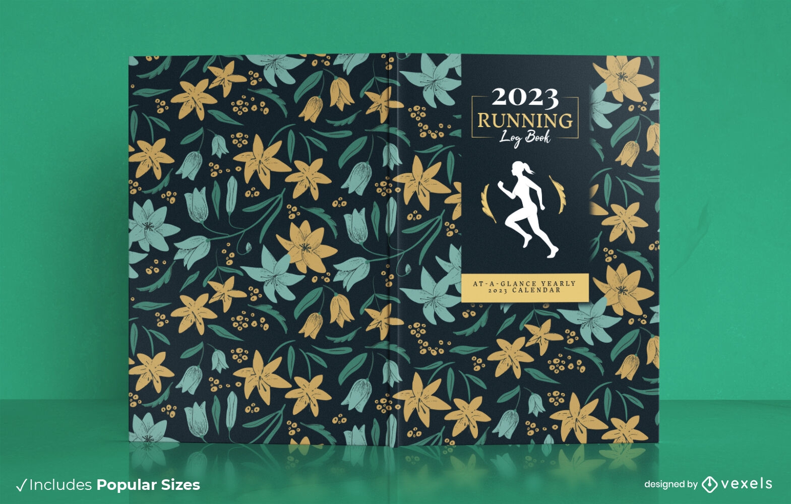
Women running sport book cover design
Choose a folder
All favorites
Create new
Save
Women running sport book cover design
Editable text
Print ready
Premium
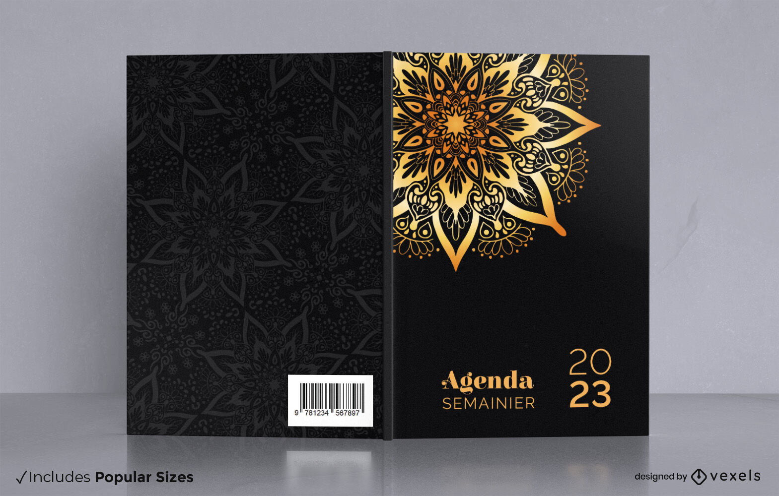
Golden mandala book cover design
Choose a folder
All favorites
Create new
Save
Golden mandala book cover design
Print ready
for Merch
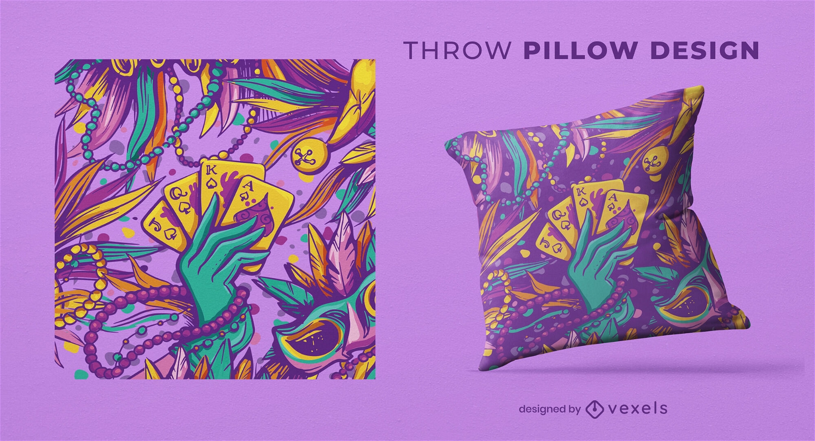
Mardi gras hand magic cards throw pillow design
Choose a folder
All favorites
Create new
Save
Mardi gras hand magic cards throw pillow design
Editable text
Print ready
for Merch
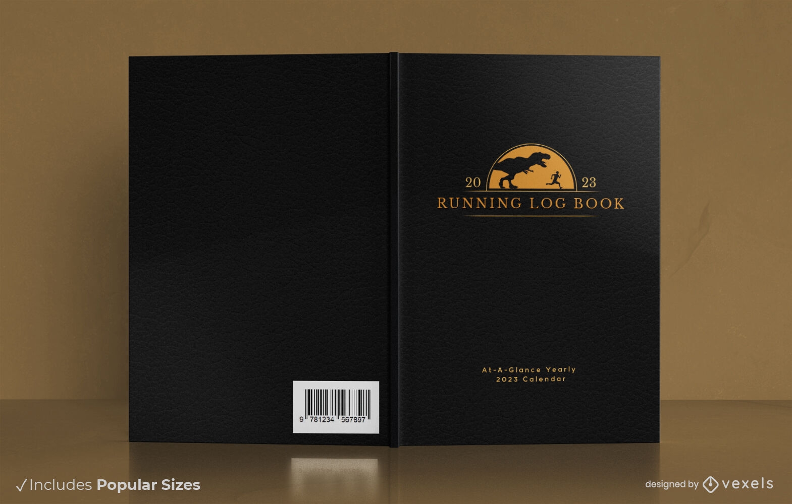
Man and dinosaur running book cover design
Choose a folder
All favorites
Create new
Save
Man and dinosaur running book cover design
Print ready
for Merch
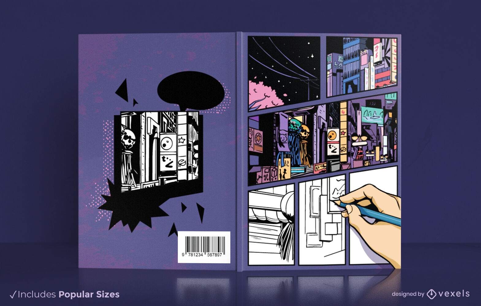
Comic city book cover design KDP
Choose a folder
All favorites
Create new
Save
Comic city book cover design KDP
Print ready
for Merch
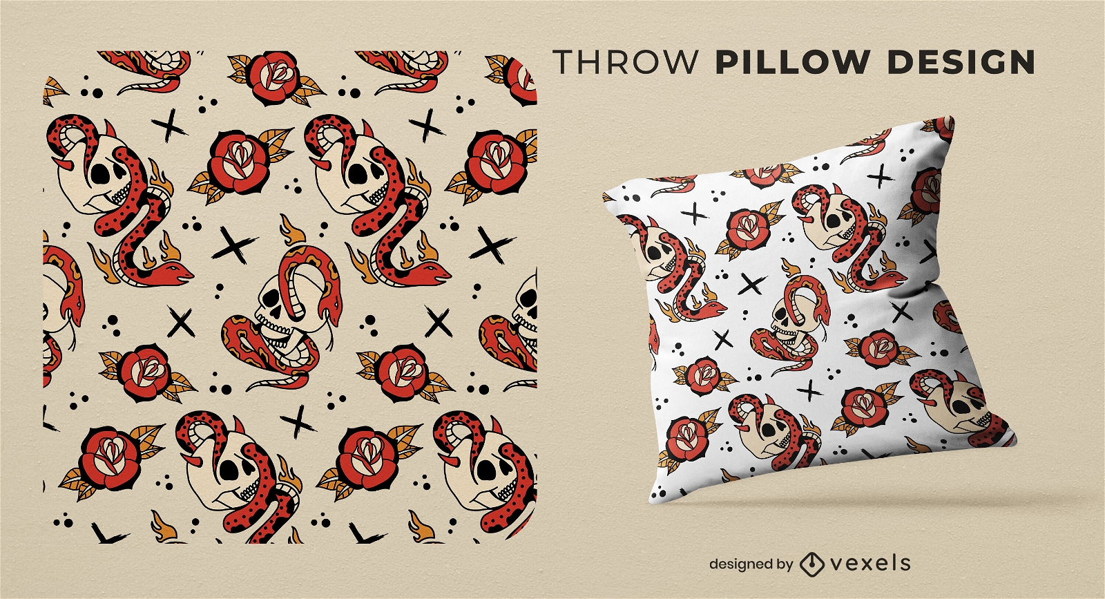
Snake and skull pattern throw pillow design
Choose a folder
All favorites
Create new
Save
Snake and skull pattern throw pillow design
Print ready
for Merch
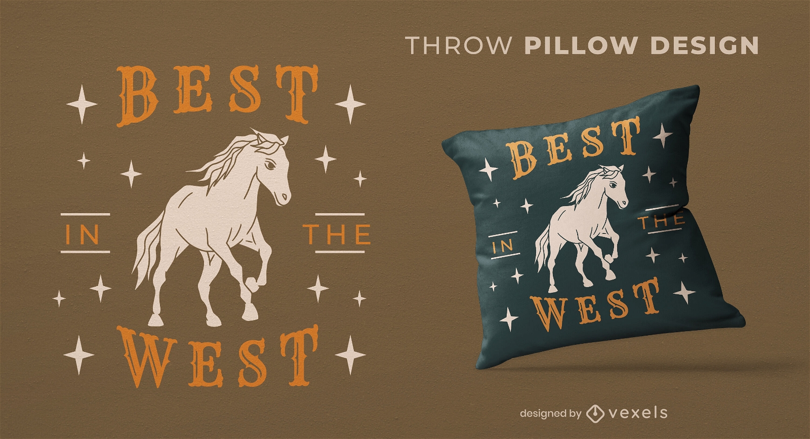
West horse throw pillow design
Choose a folder
All favorites
Create new
Save
West horse throw pillow design
Print ready
for Merch
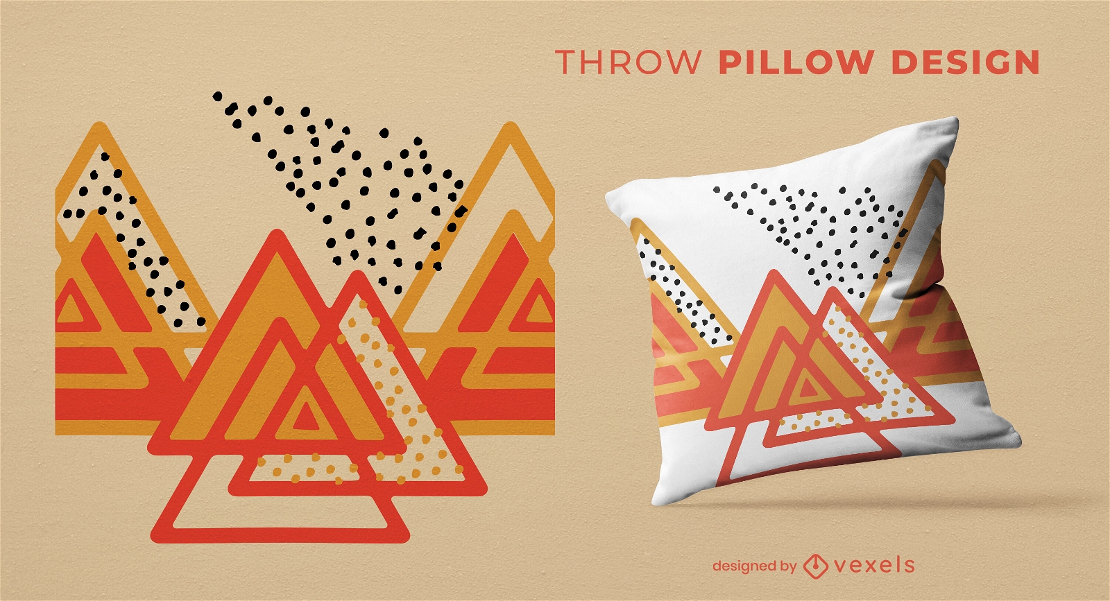
Triangles and dots throw pillow design
Choose a folder
All favorites
Create new
Save
Triangles and dots throw pillow design
Editable text
Print ready
for Merch
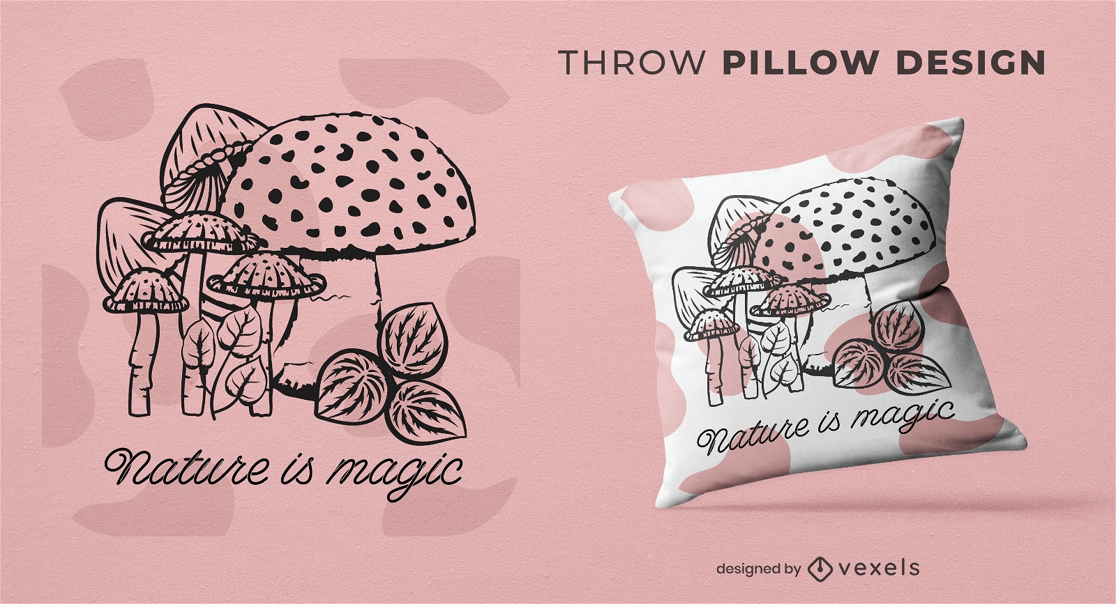
Mushroom nature throw pillow design
Choose a folder
All favorites
Create new
Save
Mushroom nature throw pillow design
Print ready
for Merch
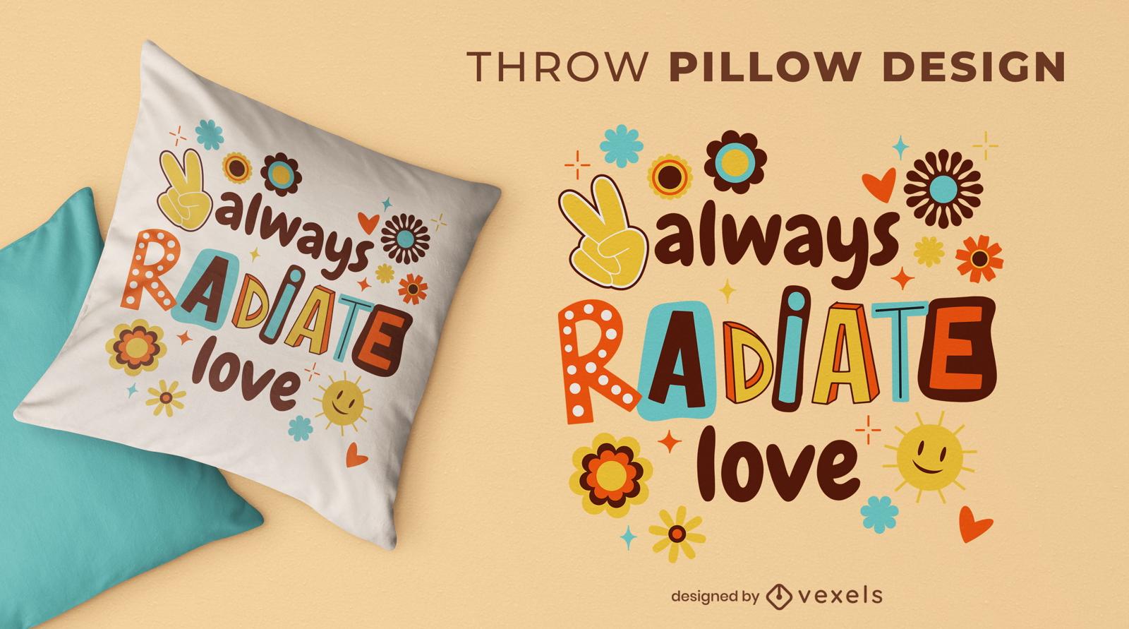
Self love throw pillow design
Choose a folder
All favorites
Create new
Save
Self love throw pillow design
Print ready
for Merch
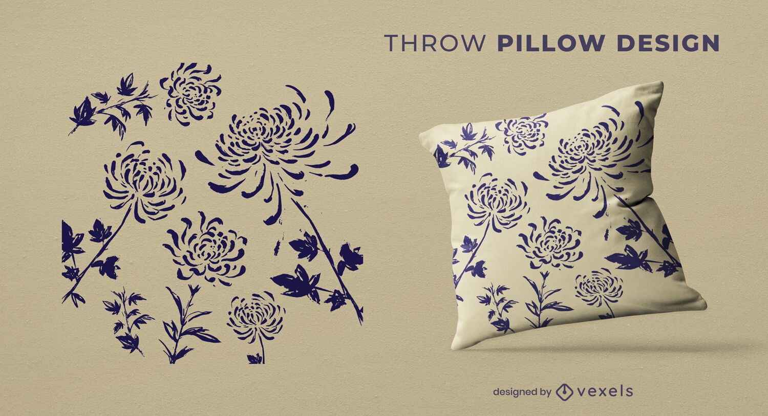
Vintage flowers throw pillow design
Choose a folder
All favorites
Create new
Save
Vintage flowers throw pillow design
Print ready
for Merch
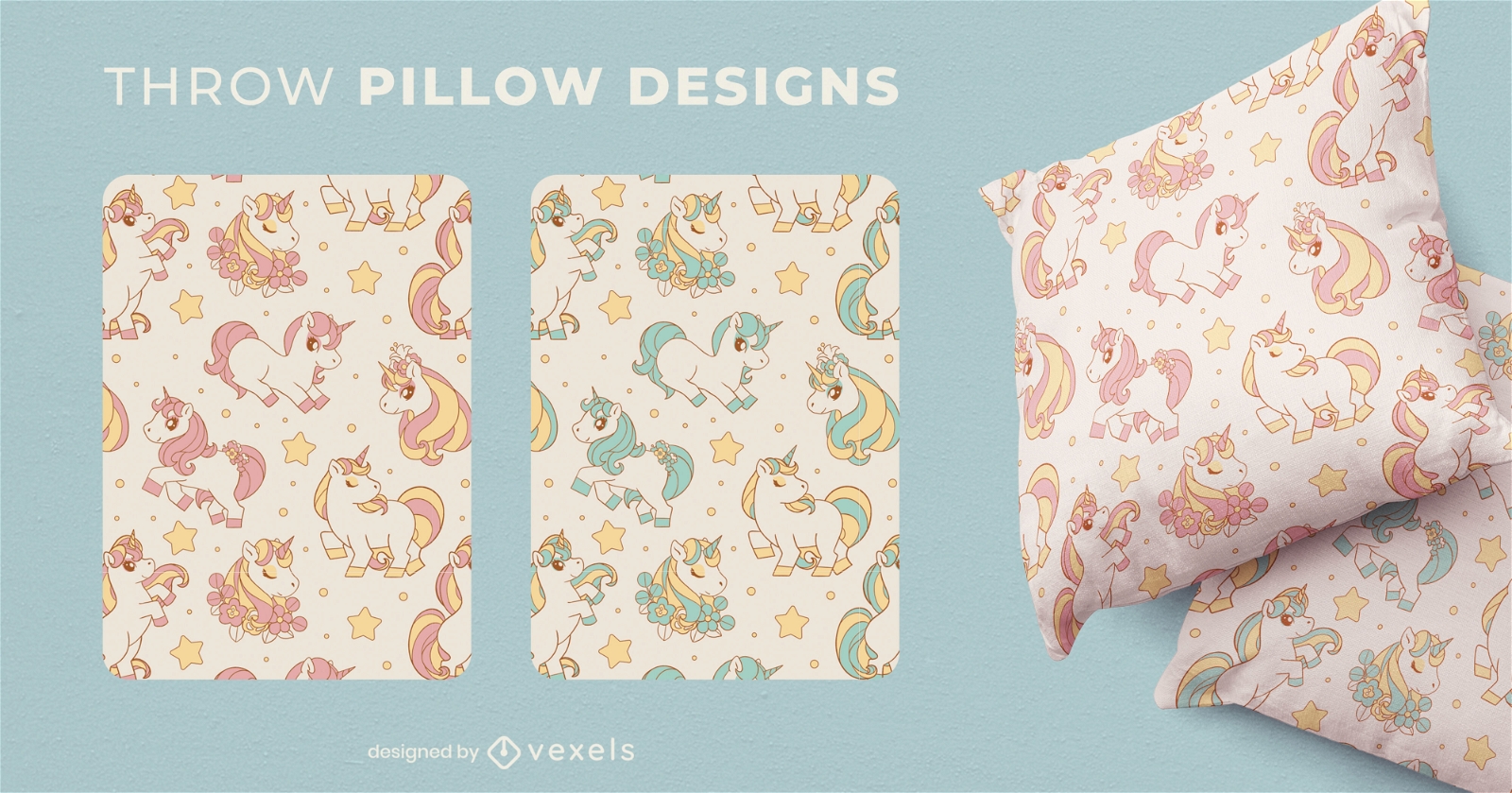
Unicorn cute throw pillow designs
Choose a folder
All favorites
Create new
Save
Unicorn cute throw pillow designs
Print ready
for Merch
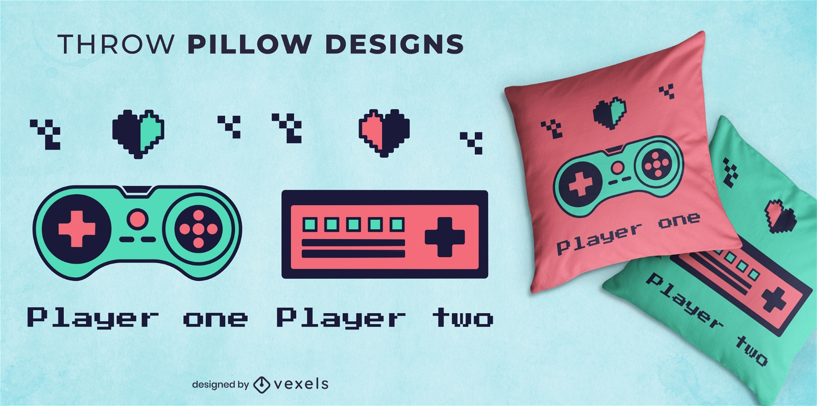
Retro gamer joystick throw pillow design
Choose a folder
All favorites
Create new
Save
Retro gamer joystick throw pillow design
Editable text
Print ready
for Merch
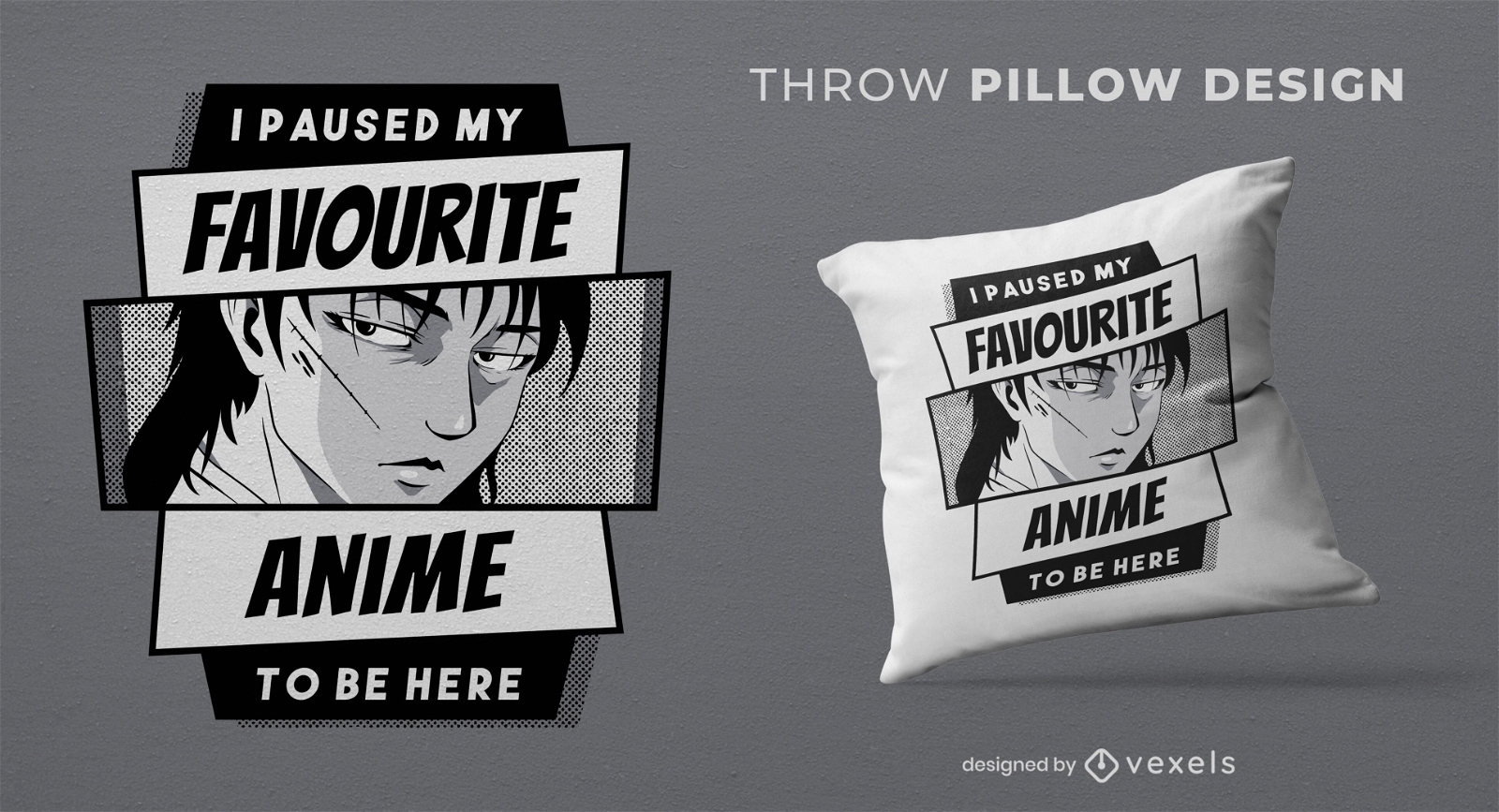
Anime hobby funny quote throw pillow design
Choose a folder
All favorites
Create new
Save
Anime hobby funny quote throw pillow design
Boost Your Business
With The Leading Graphic Platform For Merch.
SEE PLANS
Next
of 24
prev page
next page