Design Library
New Merch Designs
T-Shirts
Vectors
Trending Merch Designs
PNGs & SVGs
Mockups
T-Shirt PSD Templates
Explore Designs
KDP Designs
Posters
Mugs
Phone Cases
Tote Bags
Pillows
Design Tools
Merch Designer
New!
Mockup Generator
AI Design Generator
Image Vectorizer
Quote Generator
T-Shirt Maker (Old)
Resources
Merch Digest
Blog
Help Center
Learn About Merch
Feedback
Corporate Solutions
Enterprise
API Access
Design Studio
Bulk Design Production
Pricing
Loading...
Sign Up
Login
All
geography
Design Library
New Merch Designs
T-Shirts
Vectors
Trending Merch Designs
PNGs & SVGs
Mockups
T-Shirt PSD Templates
Explore Designs
KDP Designs
Posters
Mugs
Phone Cases
Tote Bags
Pillows
Design Tools
Merch Designer
New!
Mockup Generator
AI Design Generator
Image Vectorizer
Quote Generator
T-Shirt Maker (Old)
Resources
Merch Digest
Blog
Help Center
Learn About Merch
Feedback
Corporate Solutions
Enterprise
API Access
Design Studio
Bulk Design Production
PLANS
All
geography
781 geography Graphics and Designs
Geography Graphics to download
Related:
geography map
,
geography enthusiasts
,
urban geography
Sort by
Most relevant
Sponsored results by
Get 15% off with code: VEXELS15
Show more
Colorado mandala states PNG Design
Choose a folder
All favorites
Create new
Save
Colorado mandala states PNG Design
States mandala delaware PNG Design
Choose a folder
All favorites
Create new
Save
States mandala delaware PNG Design
States mandala georgia PNG Design
Choose a folder
All favorites
Create new
Save
States mandala georgia PNG Design
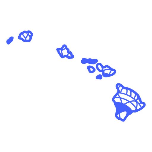
States mandala hawaii PNG Design
Choose a folder
All favorites
Create new
Save
States mandala hawaii PNG Design
States mandala montana PNG Design
Choose a folder
All favorites
Create new
Save
States mandala montana PNG Design
States mandala nebraska PNG Design
Choose a folder
All favorites
Create new
Save
States mandala nebraska PNG Design
States mandala new mexico PNG Design
Choose a folder
All favorites
Create new
Save
States mandala new mexico PNG Design
States mandala oklahoma PNG Design
Choose a folder
All favorites
Create new
Save
States mandala oklahoma PNG Design
States mandala pennsylvania PNG Design
Choose a folder
All favorites
Create new
Save
States mandala pennsylvania PNG Design
States mandala rhode island PNG Design
Choose a folder
All favorites
Create new
Save
States mandala rhode island PNG Design
South dakota mandala states PNG Design
Choose a folder
All favorites
Create new
Save
South dakota mandala states PNG Design
Tennessee mandala states PNG Design
Choose a folder
All favorites
Create new
Save
Tennessee mandala states PNG Design
Premium
Silhouette of france map design PNG Design
Choose a folder
All favorites
Create new
Save
Silhouette of france map design PNG Design
Premium
Sleek silhouette of japan map design PNG Design
Choose a folder
All favorites
Create new
Save
Sleek silhouette of japan map design PNG Design
Premium
Stylized silhouette map of switzerland PNG Design
Choose a folder
All favorites
Create new
Save
Stylized silhouette map of switzerland PNG Design
Premium
Stylized silhouette of hong kong island map PNG Design
Choose a folder
All favorites
Create new
Save
Stylized silhouette of hong kong island map PNG Design
Premium
Stylish outline of taiwan map design PNG Design
Choose a folder
All favorites
Create new
Save
Stylish outline of taiwan map design PNG Design
Premium
Stylish outline map of mexico design PNG Design
Choose a folder
All favorites
Create new
Save
Stylish outline map of mexico design PNG Design
Hong Kong map silhouette mandala cut out PNG Design
Choose a folder
All favorites
Create new
Save
Hong Kong map silhouette mandala cut out PNG Design
Ireland map silhouette mandala cut out PNG Design
Choose a folder
All favorites
Create new
Save
Ireland map silhouette mandala cut out PNG Design
States mandala north dakota PNG Design
Choose a folder
All favorites
Create new
Save
States mandala north dakota PNG Design
Compass tool illustration PNG Design
Choose a folder
All favorites
Create new
Save
Compass tool illustration PNG Design
Map flat icon PNG Design
Choose a folder
All favorites
Create new
Save
Map flat icon PNG Design
Premium
Silhouette map of ireland design PNG Design
Choose a folder
All favorites
Create new
Save
Silhouette map of ireland design PNG Design
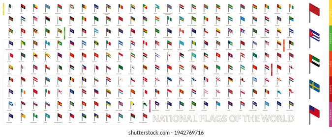
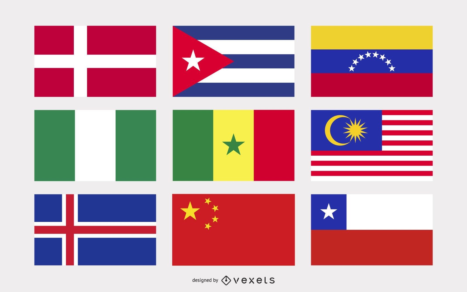
National flags illustration set
Choose a folder
All favorites
Create new
Save
National flags illustration set
Blue Earth Globe Vector Design
Choose a folder
All favorites
Create new
Save
Blue Earth Globe Vector Design
South Korea Map Design
Choose a folder
All favorites
Create new
Save
South Korea Map Design
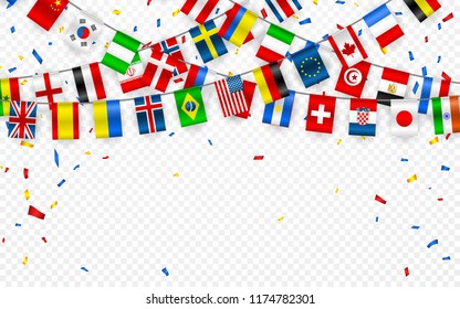
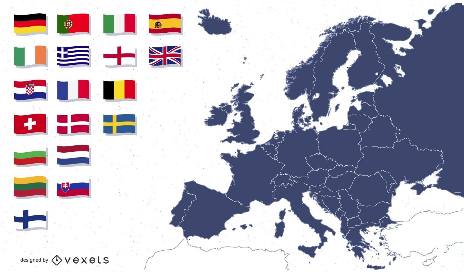
Europe map with flags illustration
Choose a folder
All favorites
Create new
Save
Europe map with flags illustration
Premium
Minimalist silhouette of bosnia and herzegovina map design PNG Design
Choose a folder
All favorites
Create new
Save
Minimalist silhouette of bosnia and herzegovina map design PNG Design
Editable text
Print ready
for Merch
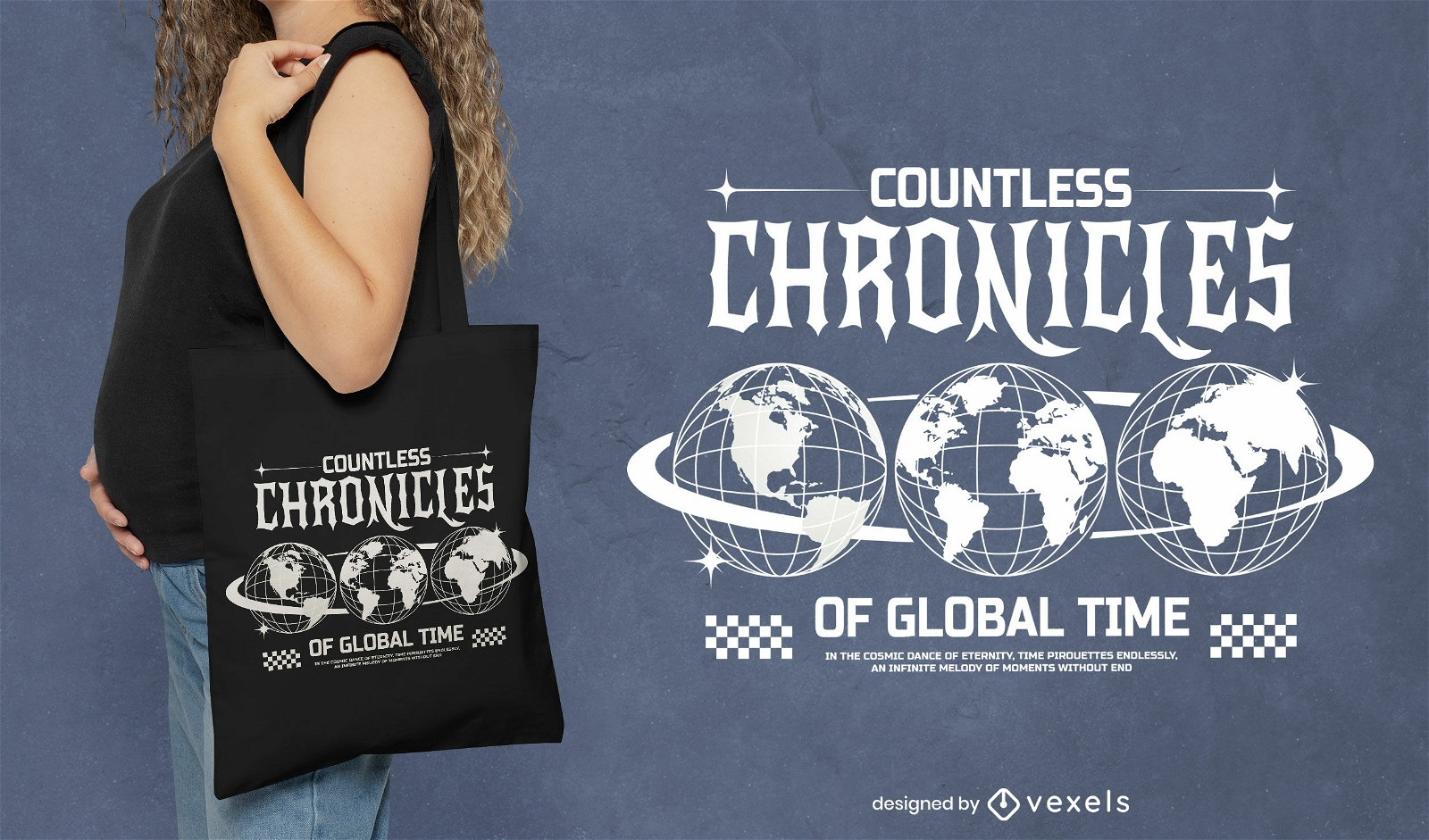
Countless chronicles Erath tote bag design
Choose a folder
All favorites
Create new
Save
Countless chronicles Erath tote bag design
Premium
Stylized silhouette of india map design PNG Design
Choose a folder
All favorites
Create new
Save
Stylized silhouette of india map design PNG Design
Boost Your Business
With The Leading Graphic Platform For Merch.
SEE PLANS
of 16
prev page
next page