Design Library
New Merch Designs
T-Shirts
Vectors
Trending Merch Designs
PNGs & SVGs
Mockups
T-Shirt PSD Templates
Explore Designs
KDP Designs
Posters
Mugs
Phone Cases
Tote Bags
Pillows
Design Tools
Merch Designer
New!
Mockup Generator
AI Design Generator
Image Vectorizer
Quote Generator
T-Shirt Maker (Old)
Resources
Merch Digest
Blog
Help Center
Learn About Merch
Feedback
Corporate Solutions
Enterprise
API Access
Design Studio
Bulk Design Production
Pricing
Loading...
Sign Up
Login
Vectors
country
map
Design Library
New Merch Designs
T-Shirts
Vectors
Trending Merch Designs
PNGs & SVGs
Mockups
T-Shirt PSD Templates
Explore Designs
KDP Designs
Posters
Mugs
Phone Cases
Tote Bags
Pillows
Design Tools
Merch Designer
New!
Mockup Generator
AI Design Generator
Image Vectorizer
Quote Generator
T-Shirt Maker (Old)
Resources
Merch Digest
Blog
Help Center
Learn About Merch
Feedback
Corporate Solutions
Enterprise
API Access
Design Studio
Bulk Design Production
PLANS
Vectors
country
map
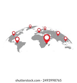
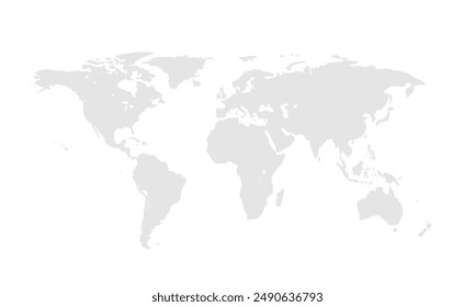
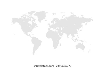
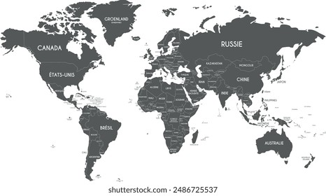
95 country map Vectors & Graphics to Download
Download country map editable vector graphics for every design project. In AI, SVG, PNG, JPG and PSD.
Related:
country maps
Sort by
Most relevant
Sponsored results by
Get 15% off with code: VEXELS15
Show more
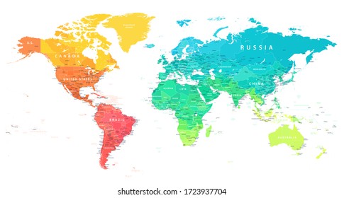
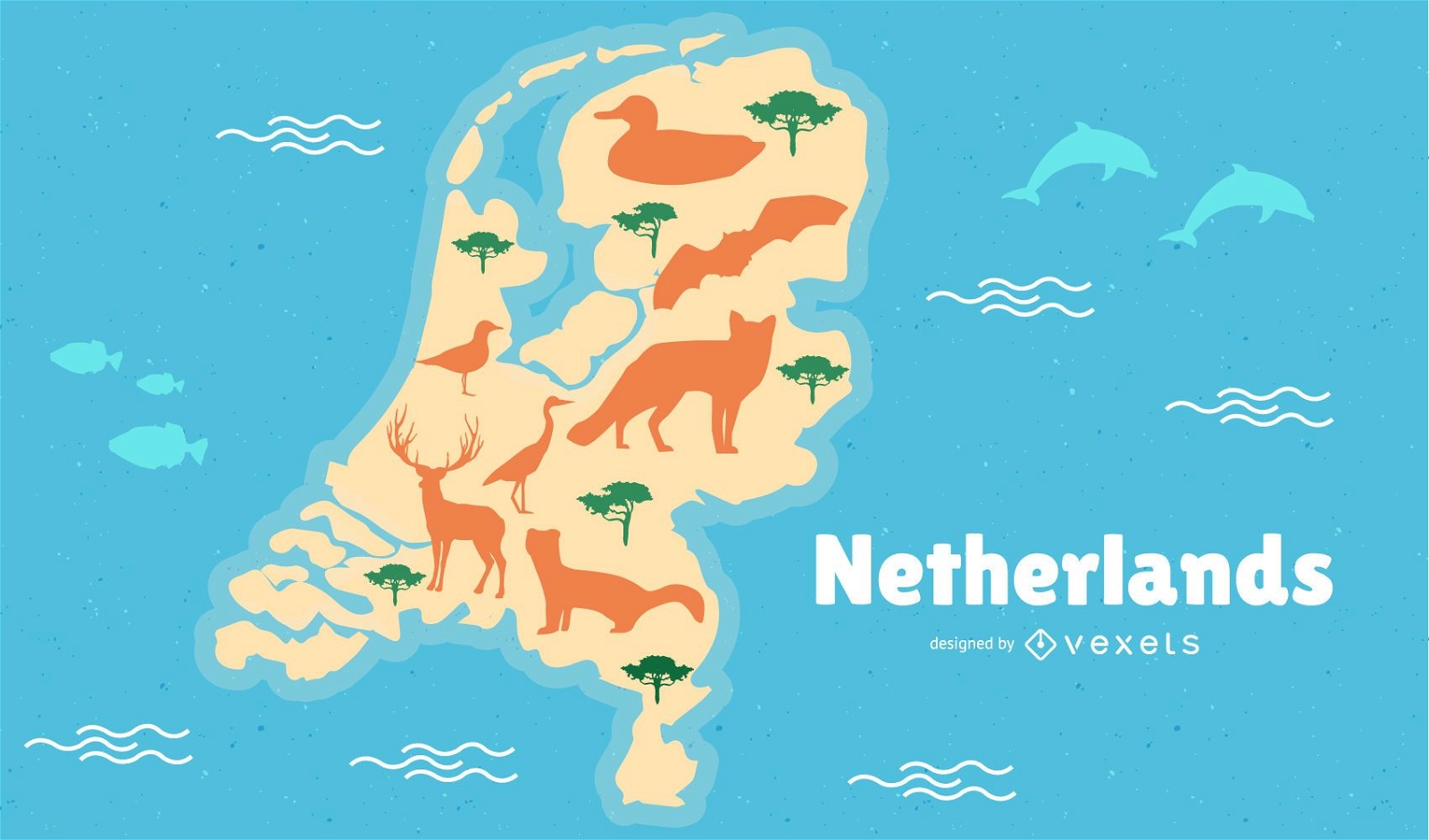
Netherlands Map Illustration
Choose a folder
All favorites
Create new
Save
Netherlands Map Illustration
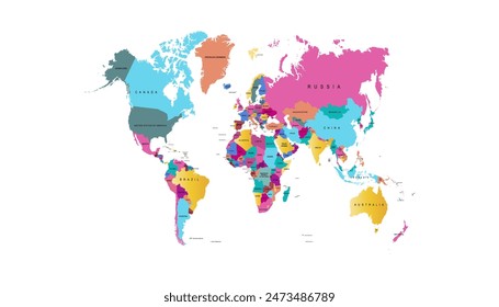
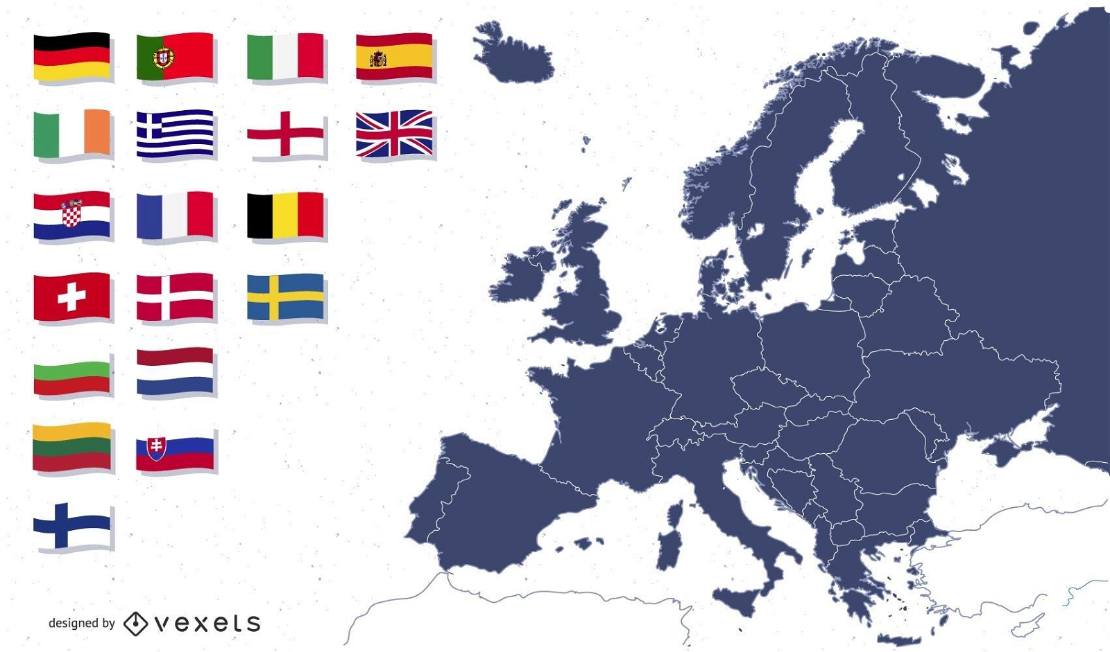
Europe map with flags illustration
Choose a folder
All favorites
Create new
Save
Europe map with flags illustration
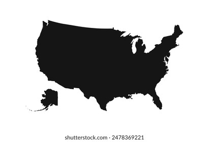
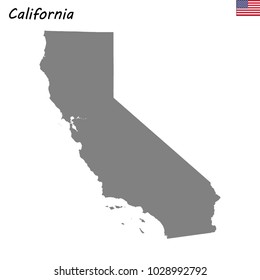
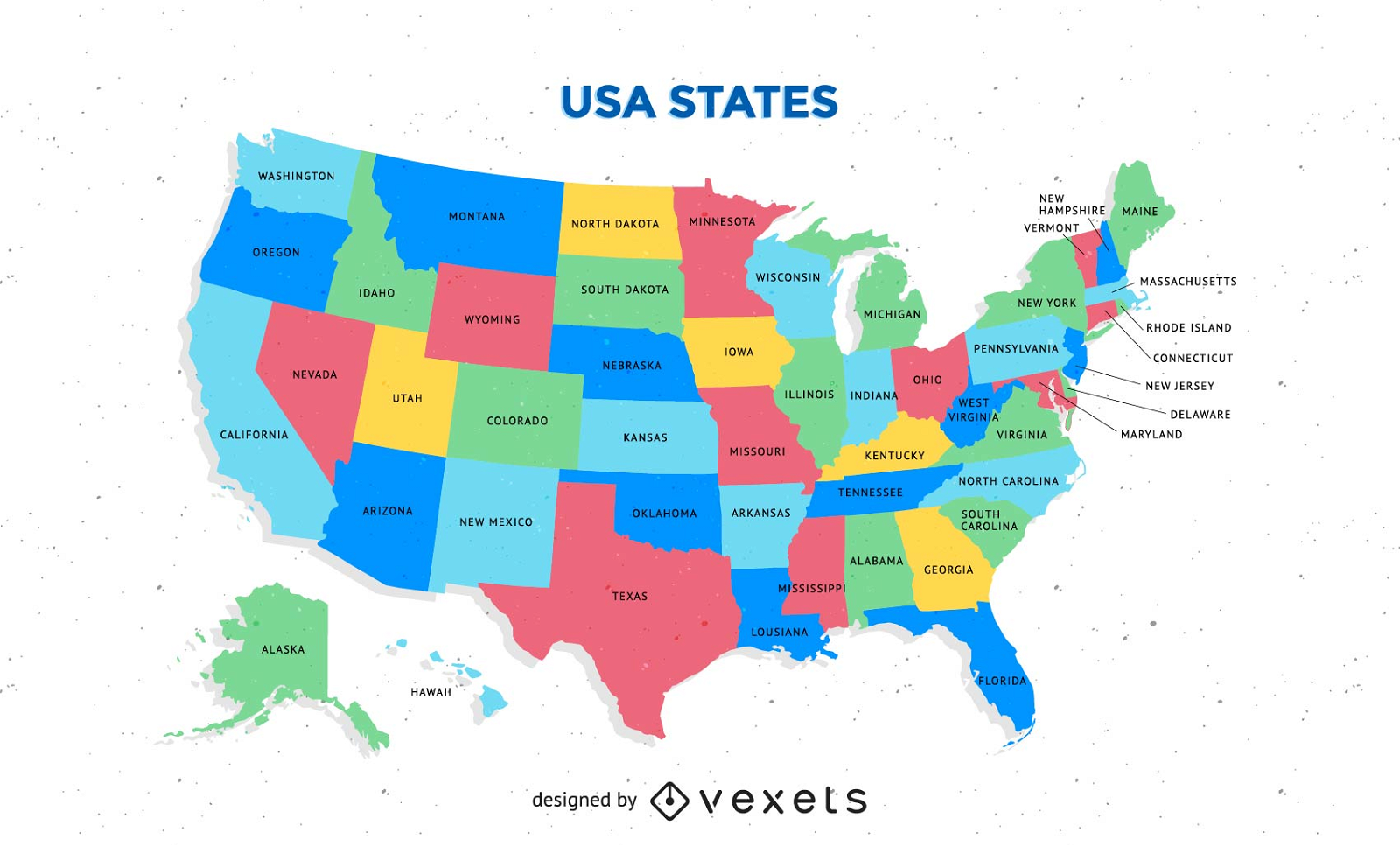
Free Colorful Usa Map With States Vector
Choose a folder
All favorites
Create new
Save
Free Colorful Usa Map With States Vector
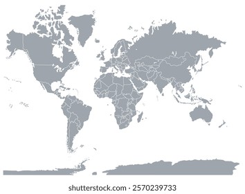
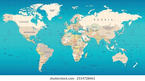
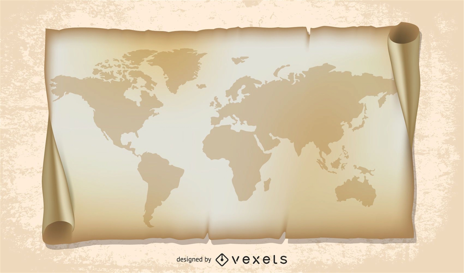
old world map illustration
Choose a folder
All favorites
Create new
Save
old world map illustration
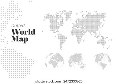
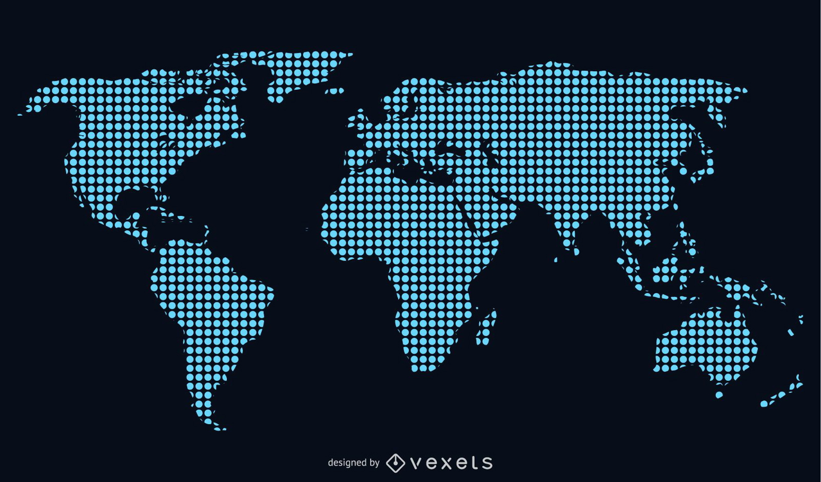
Blue dotted world map illustration
Choose a folder
All favorites
Create new
Save
Blue dotted world map illustration
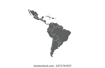
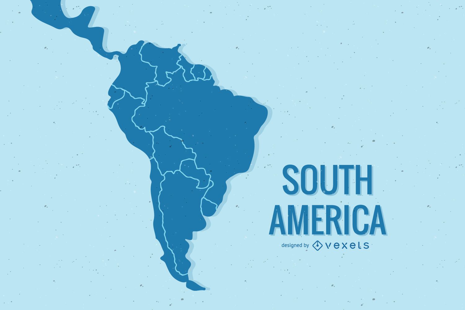
South America map illustration design
Choose a folder
All favorites
Create new
Save
South America map illustration design
Premium
World countries map shapes mandala set
Choose a folder
All favorites
Create new
Save
World countries map shapes mandala set
Premium
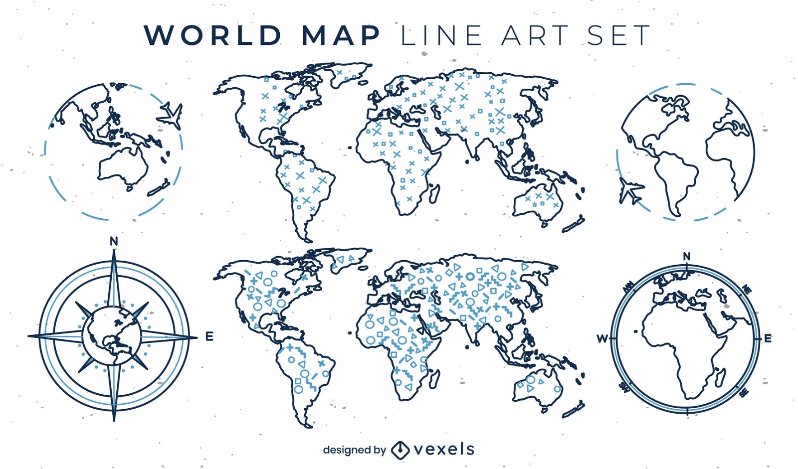
World map set of line art elements
Choose a folder
All favorites
Create new
Save
World map set of line art elements
Premium
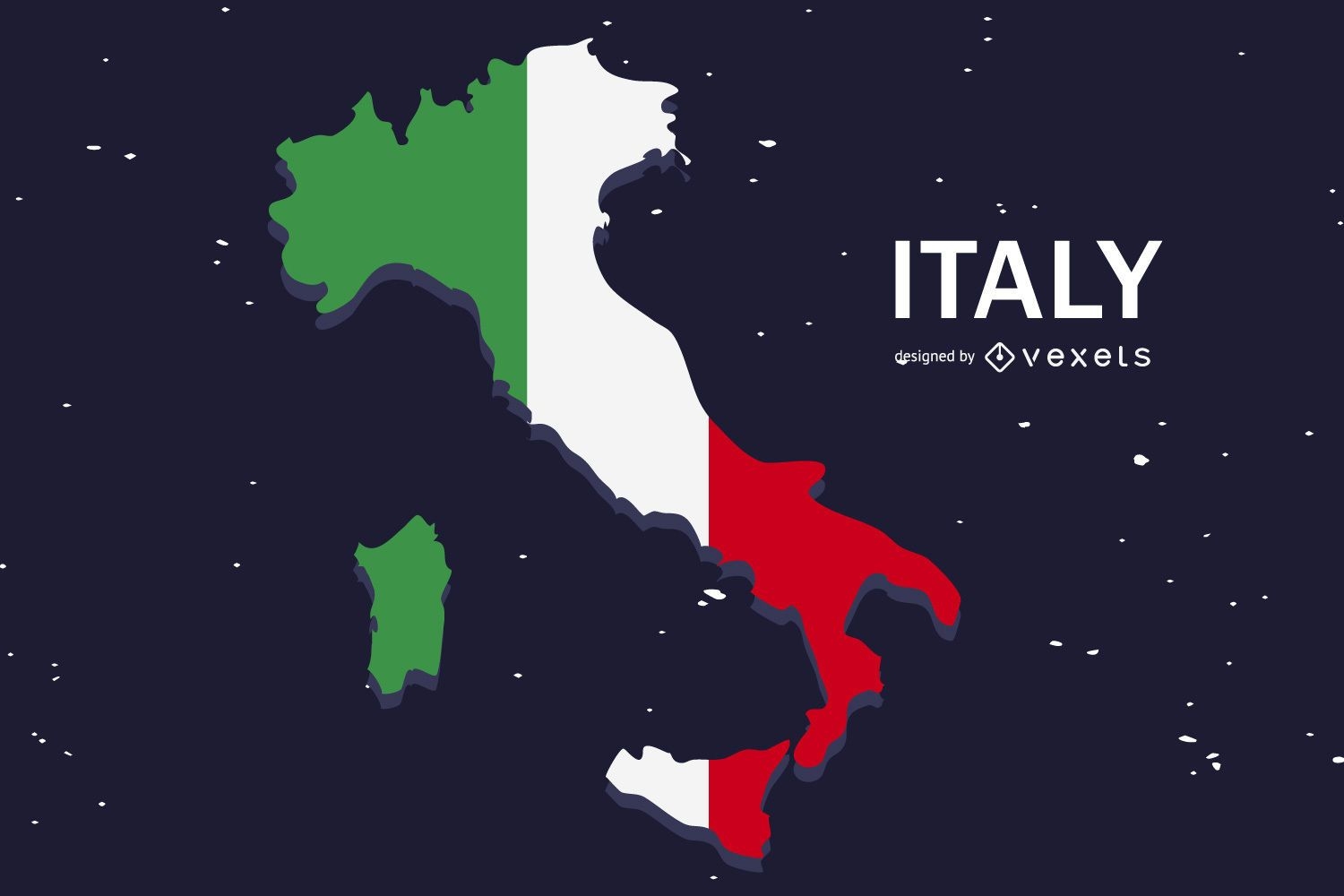
Italy Flag Flat Country Design
Choose a folder
All favorites
Create new
Save
Italy Flag Flat Country Design
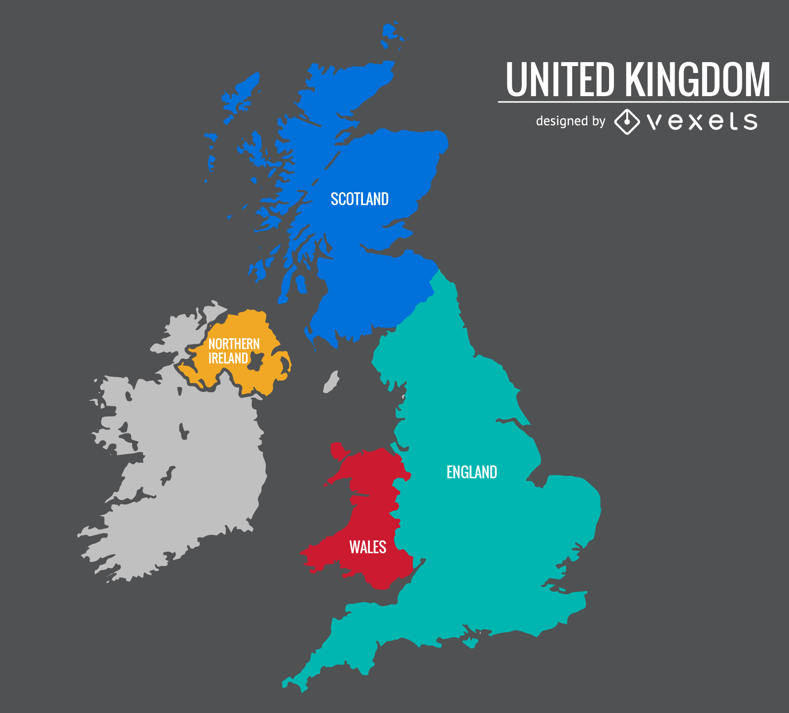
United Kingdom colorful map
Choose a folder
All favorites
Create new
Save
United Kingdom colorful map
Premium
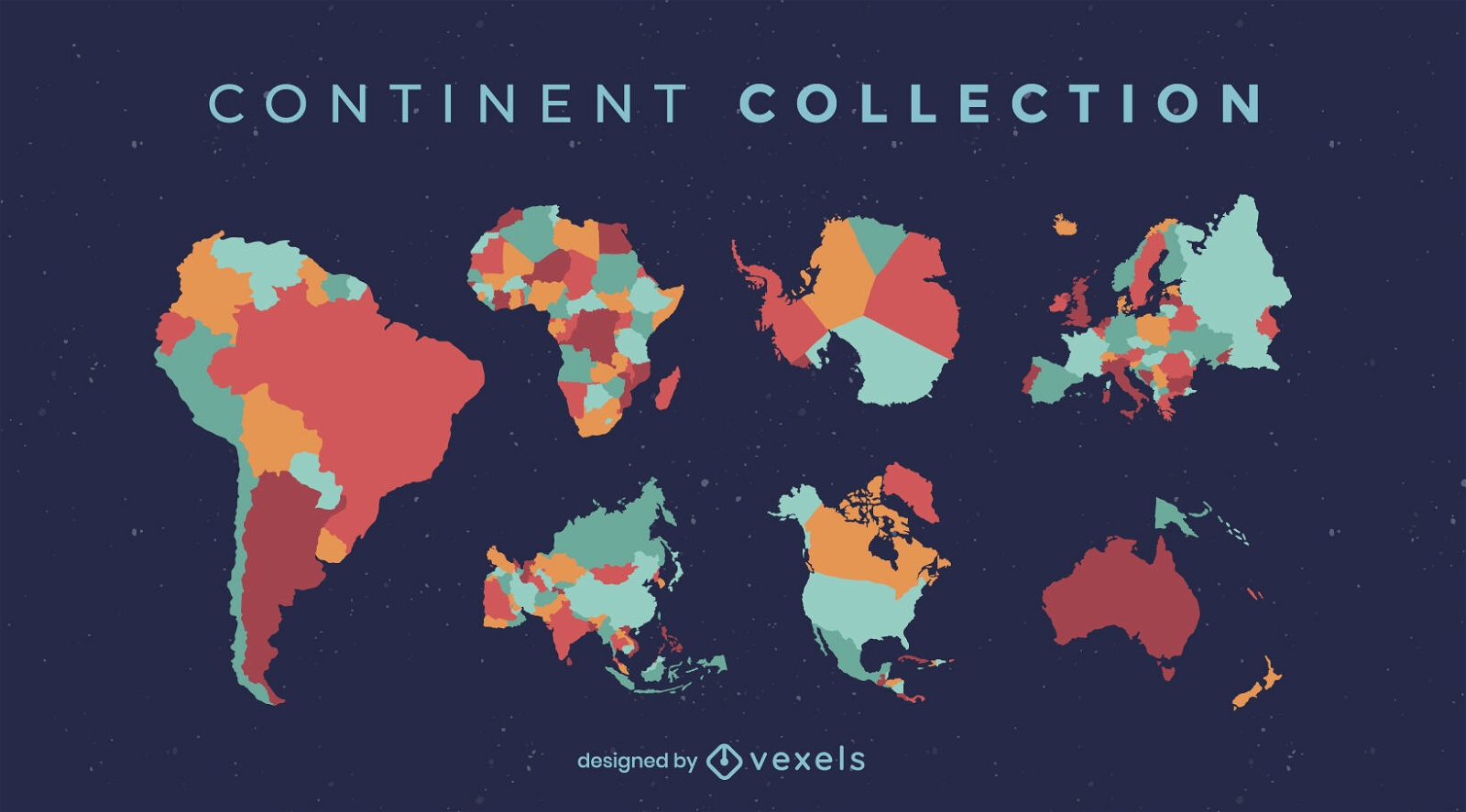
World countries and continents flat set
Choose a folder
All favorites
Create new
Save
World countries and continents flat set
Premium
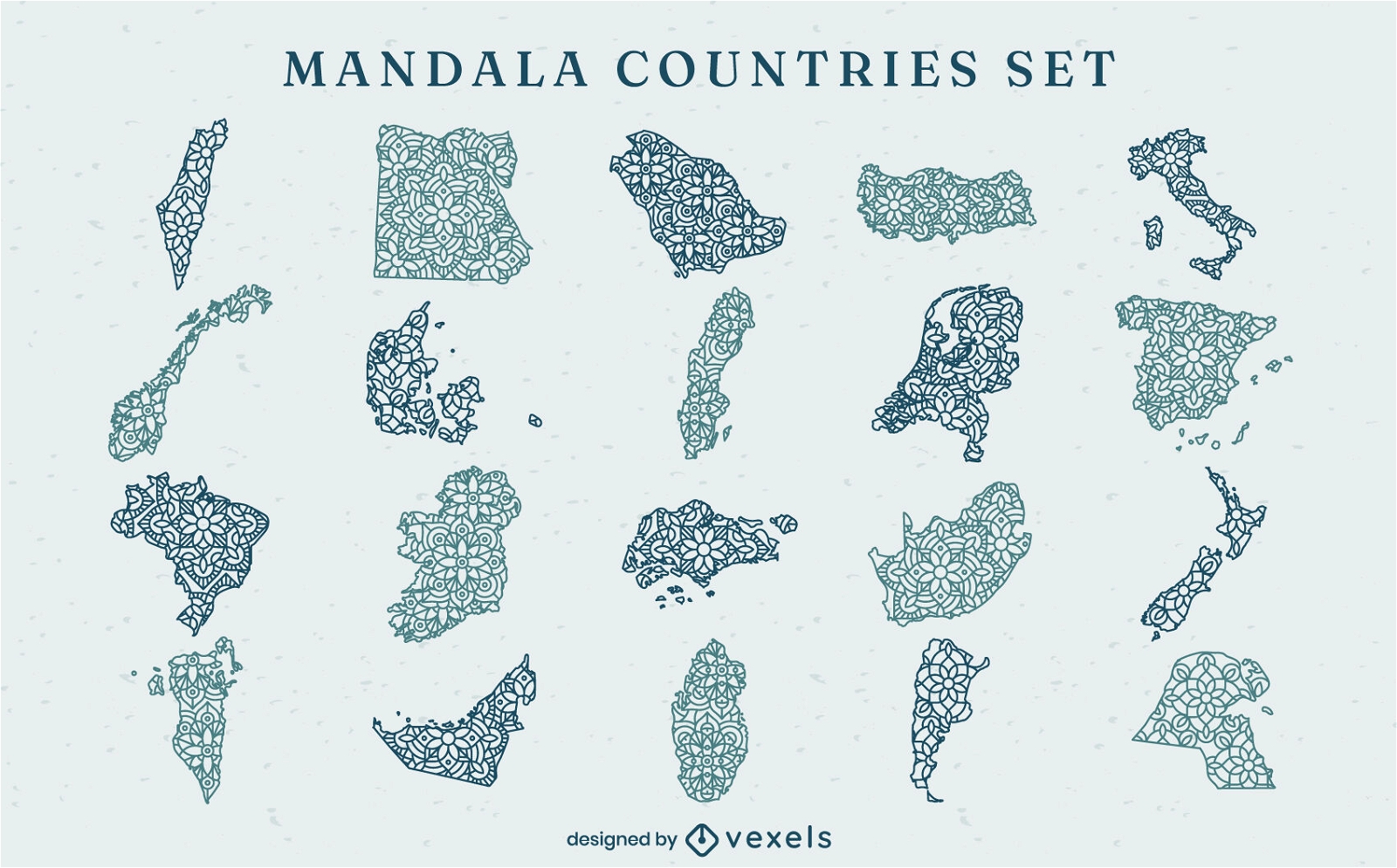
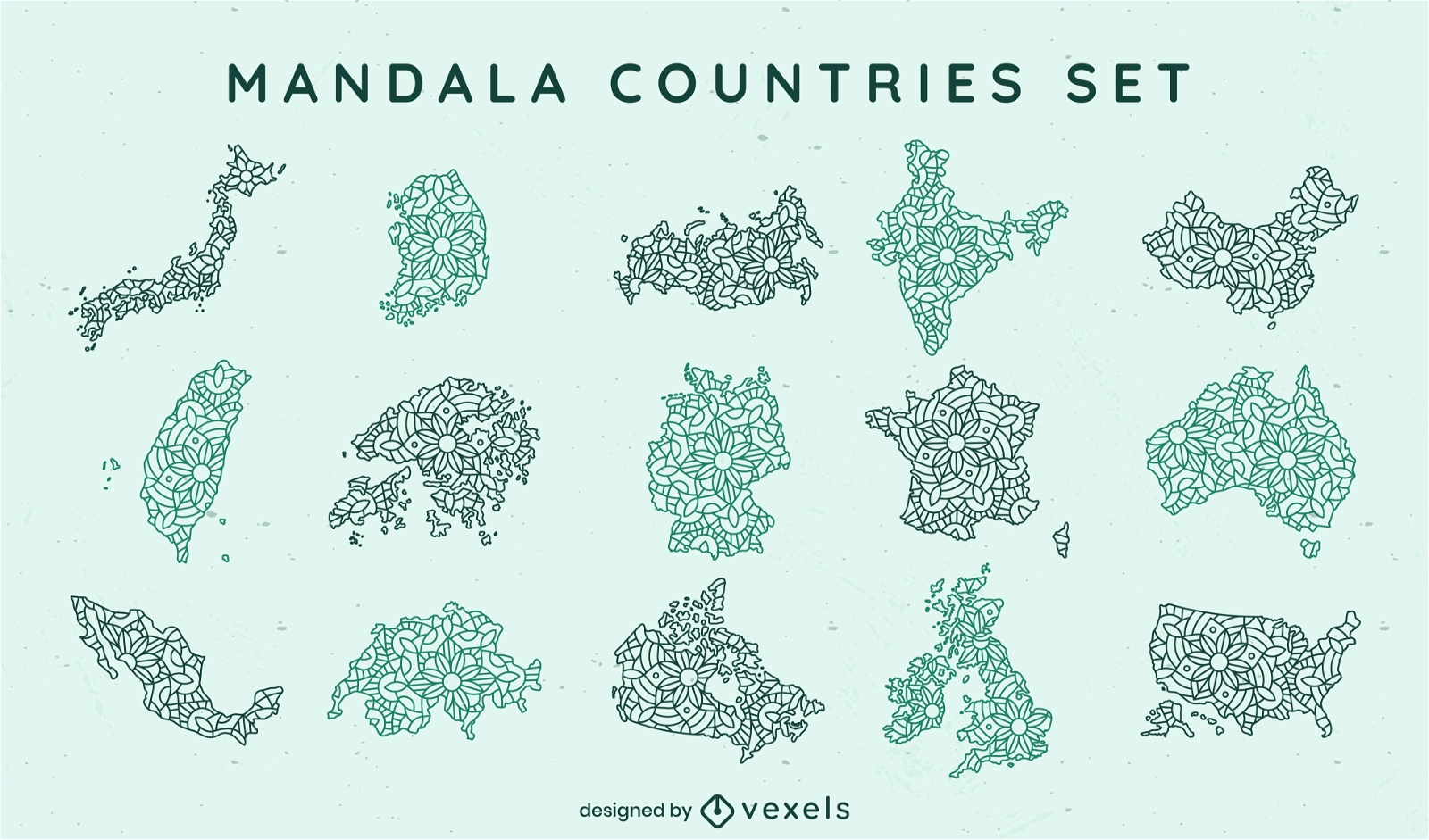
Mandala countries mandala set
Choose a folder
All favorites
Create new
Save
Mandala countries mandala set
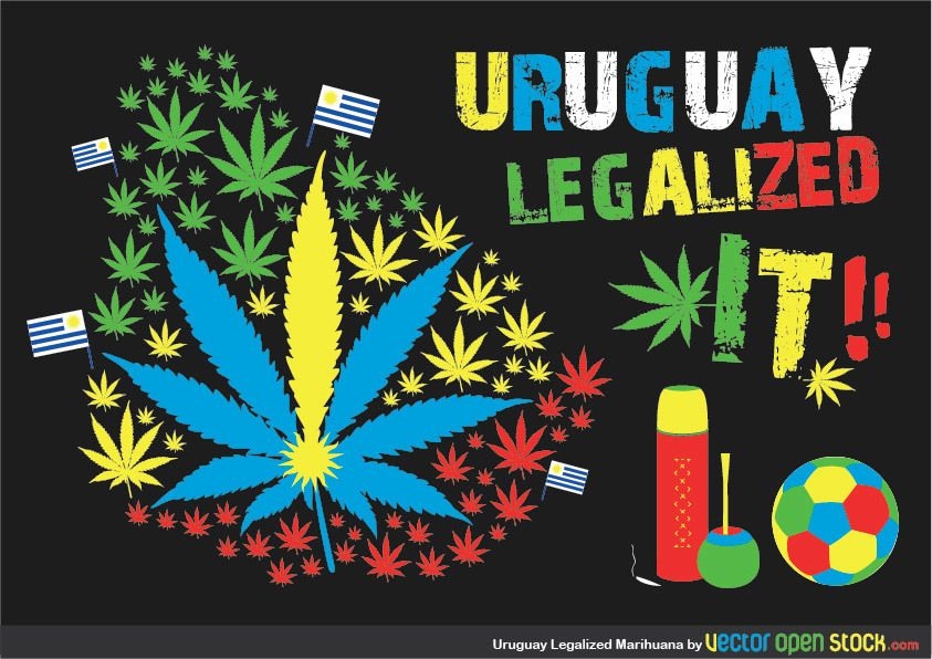
Uruaguay Legalized Marihuana
Choose a folder
All favorites
Create new
Save
Uruaguay Legalized Marihuana
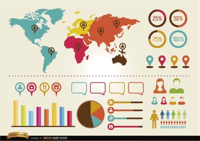
Social infographics resources pack
Choose a folder
All favorites
Create new
Save
Social infographics resources pack
Women health infographics resources
Choose a folder
All favorites
Create new
Save
Women health infographics resources
Set of 2 traveling postcards
Choose a folder
All favorites
Create new
Save
Set of 2 traveling postcards
Men and women health world infographics
Choose a folder
All favorites
Create new
Save
Men and women health world infographics
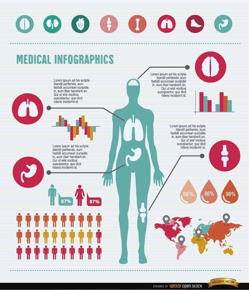
Medical infographics resources
Choose a folder
All favorites
Create new
Save
Medical infographics resources
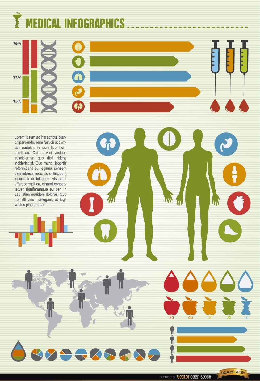
Men medical infographics elements
Choose a folder
All favorites
Create new
Save
Men medical infographics elements
Premium
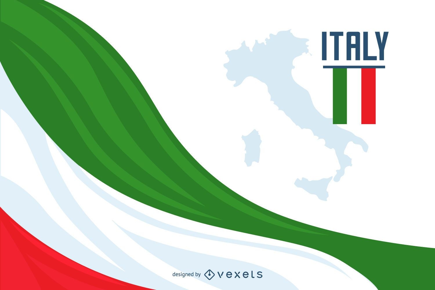
Italy Flag Background Design
Choose a folder
All favorites
Create new
Save
Italy Flag Background Design
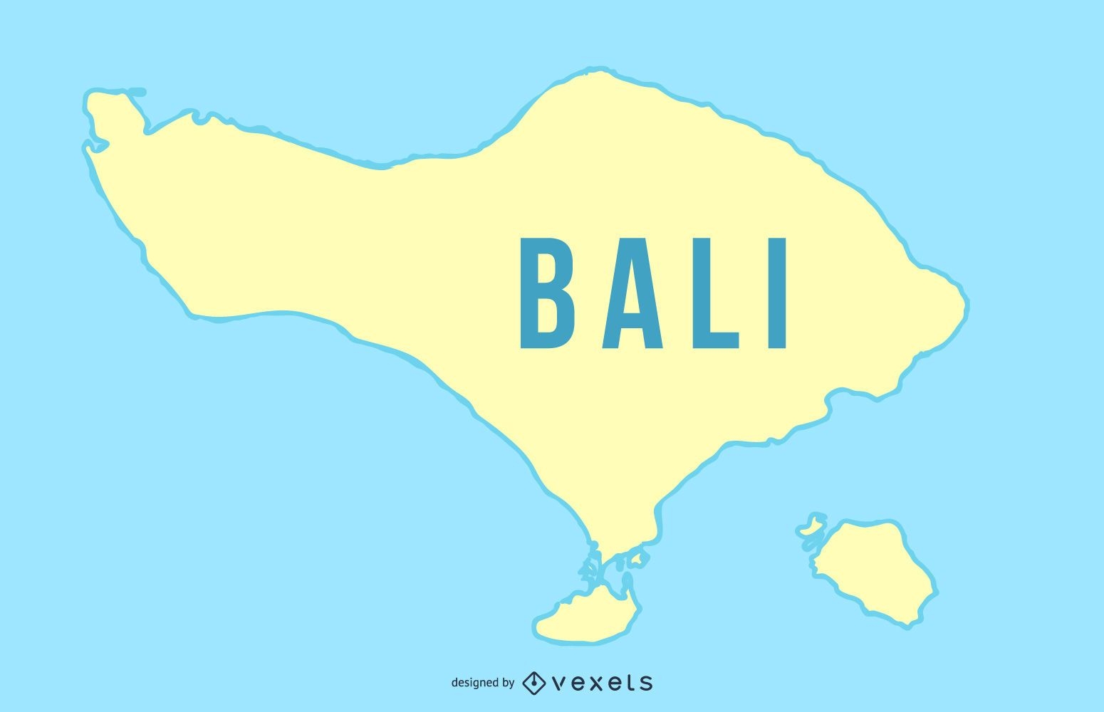
Bali Island Silhouette Design
Choose a folder
All favorites
Create new
Save
Bali Island Silhouette Design
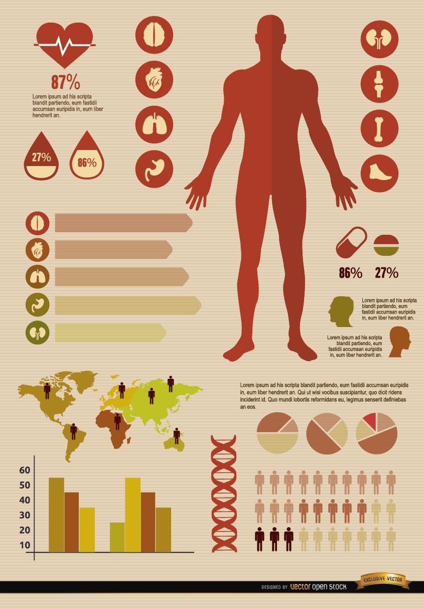
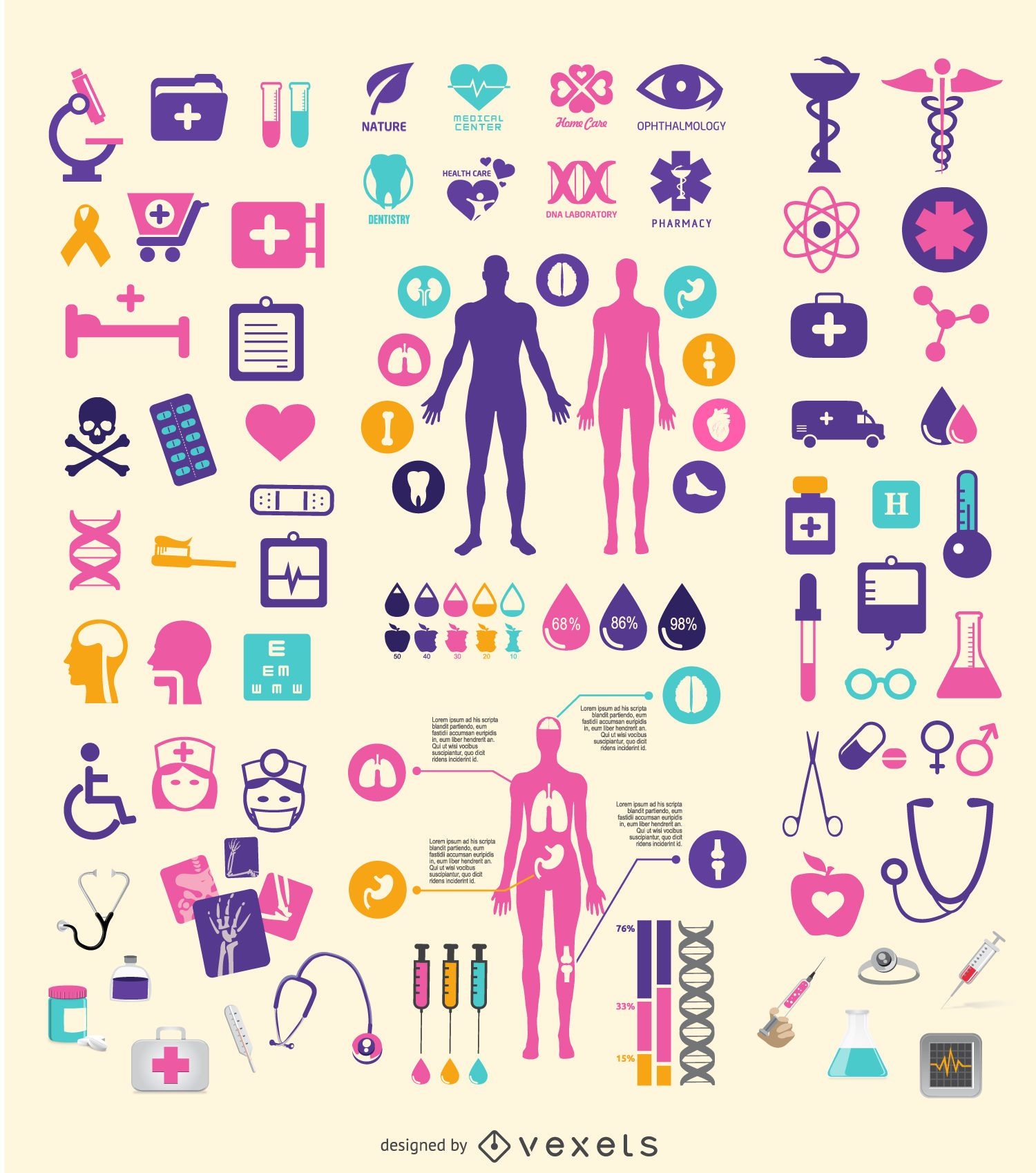
Medical element set
Choose a folder
All favorites
Create new
Save
Medical element set
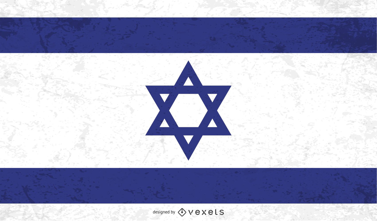
Distressed Israel flag
Choose a folder
All favorites
Create new
Save
Distressed Israel flag
Premium
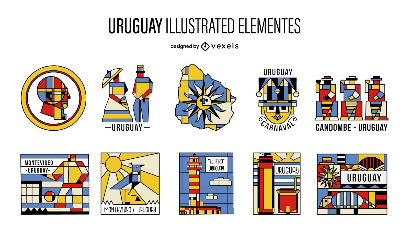
Uruguay Cubism Illustrated Elements Pack
Choose a folder
All favorites
Create new
Save
Uruguay Cubism Illustrated Elements Pack
Editable text
Premium
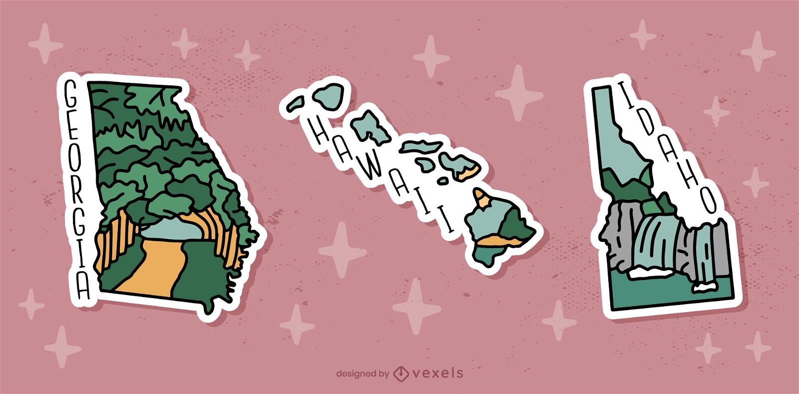
US States maps sticker set
Choose a folder
All favorites
Create new
Save
US States maps sticker set
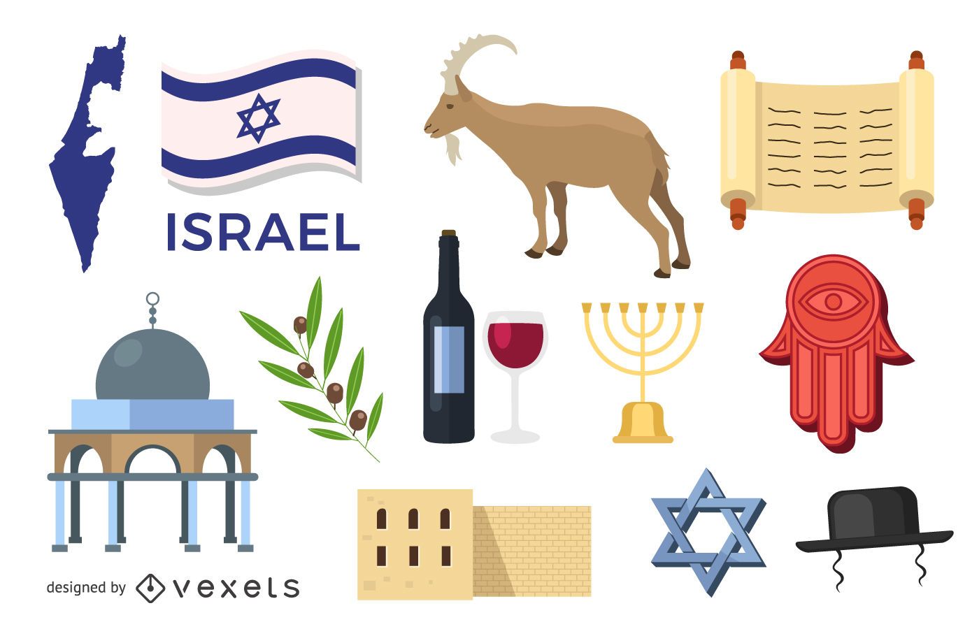
Israel element set
Choose a folder
All favorites
Create new
Save
Israel element set
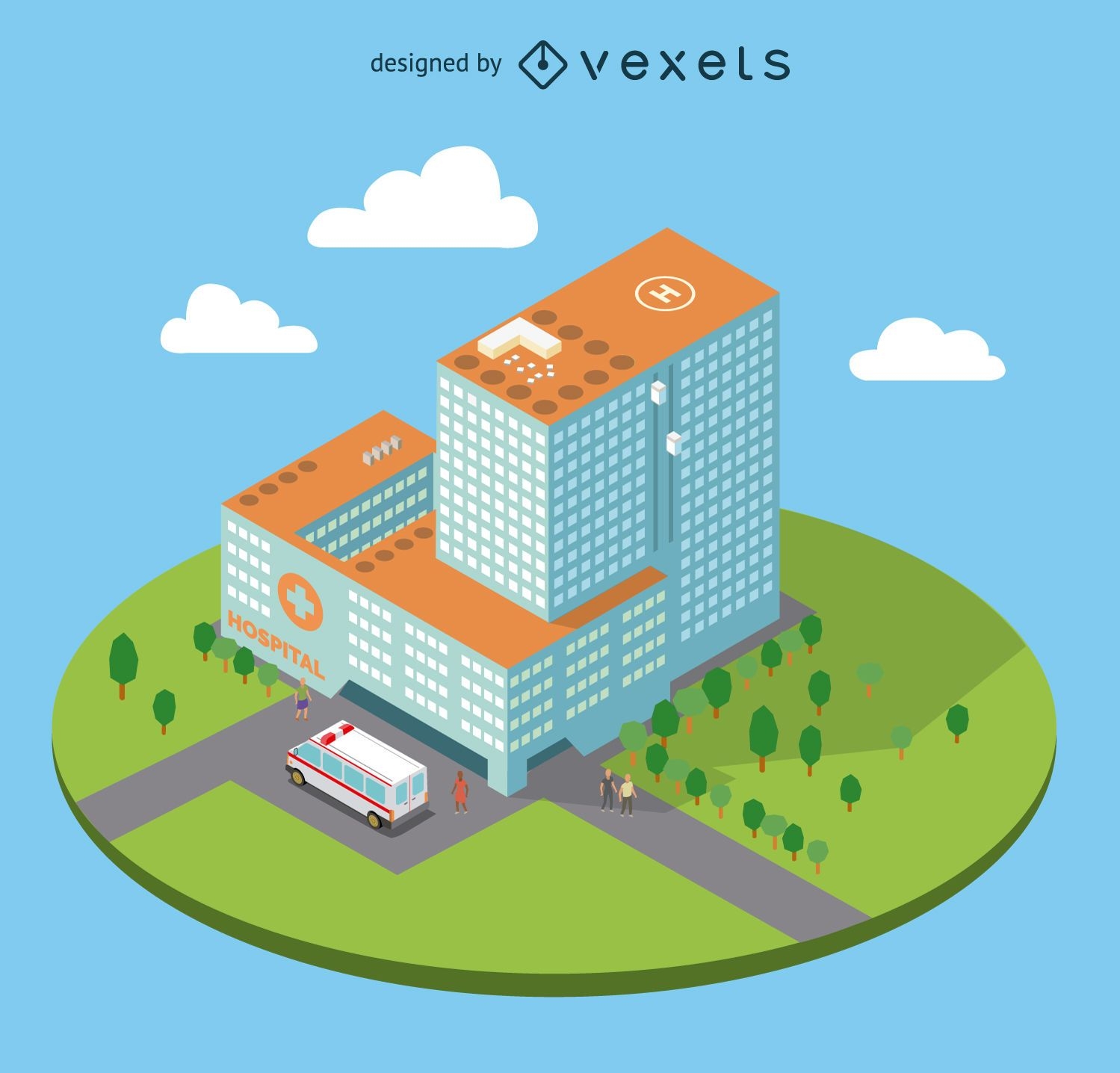
Flat isometric hospital
Choose a folder
All favorites
Create new
Save
Flat isometric hospital
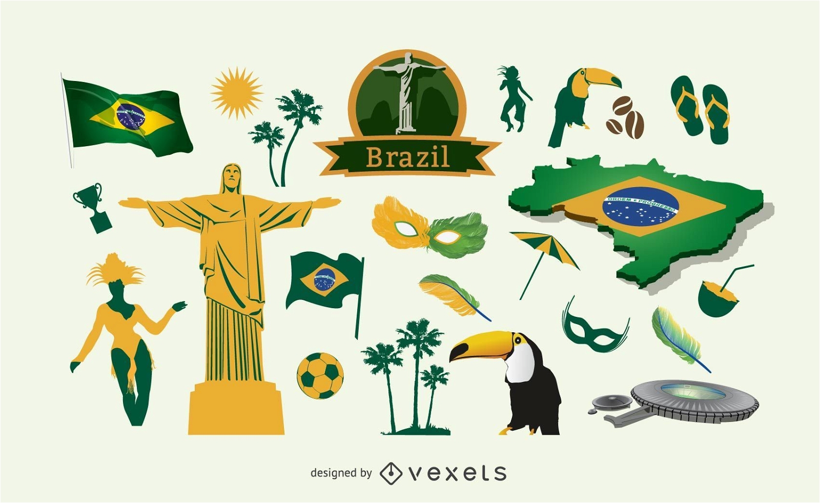
Brazil elements pack
Choose a folder
All favorites
Create new
Save
Brazil elements pack
Premium
Italy Flag Doodle Design
Choose a folder
All favorites
Create new
Save
Italy Flag Doodle Design
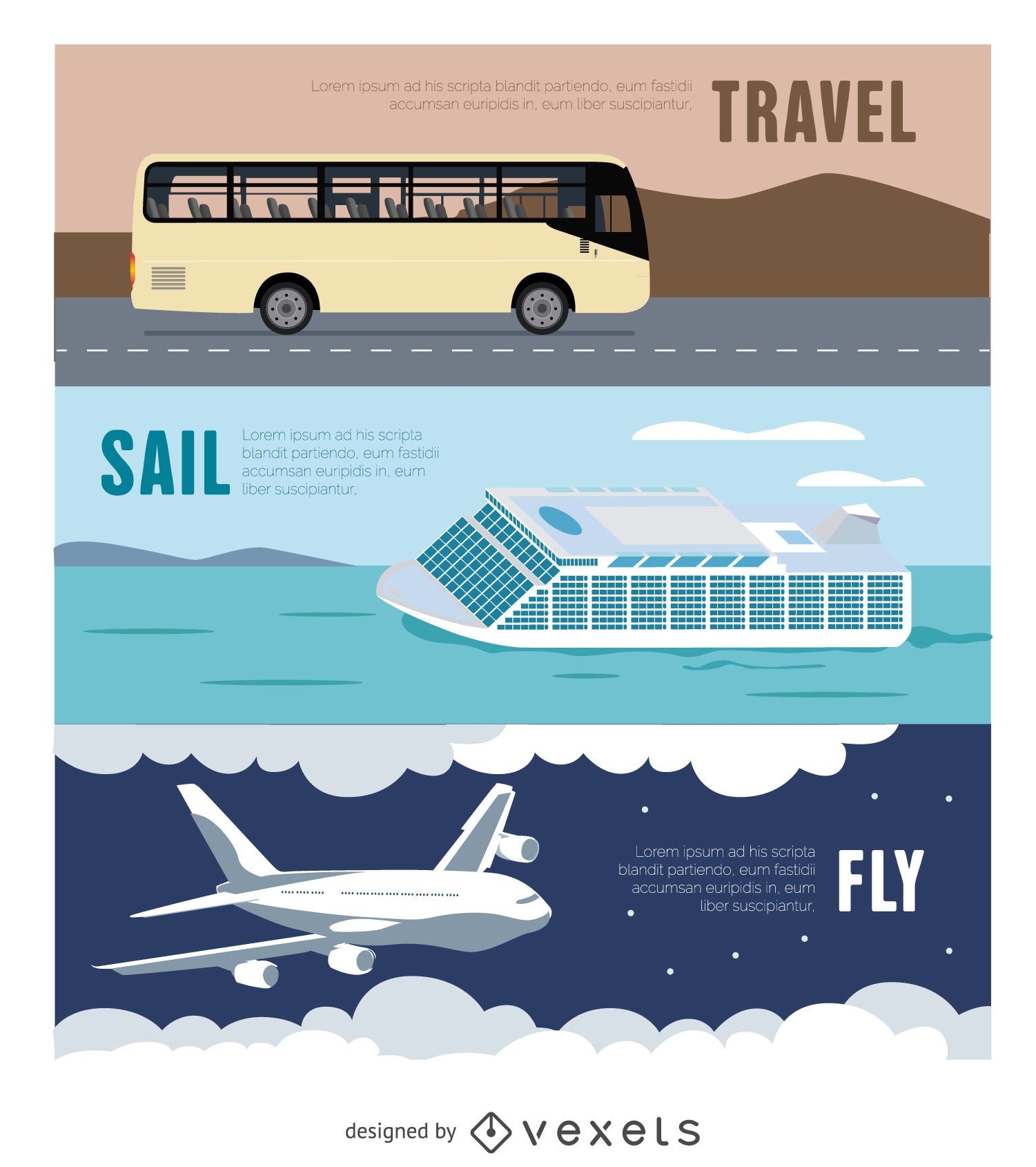
Travel Banner - Bus - Airplane - Ferry
Choose a folder
All favorites
Create new
Save
Travel Banner - Bus - Airplane - Ferry
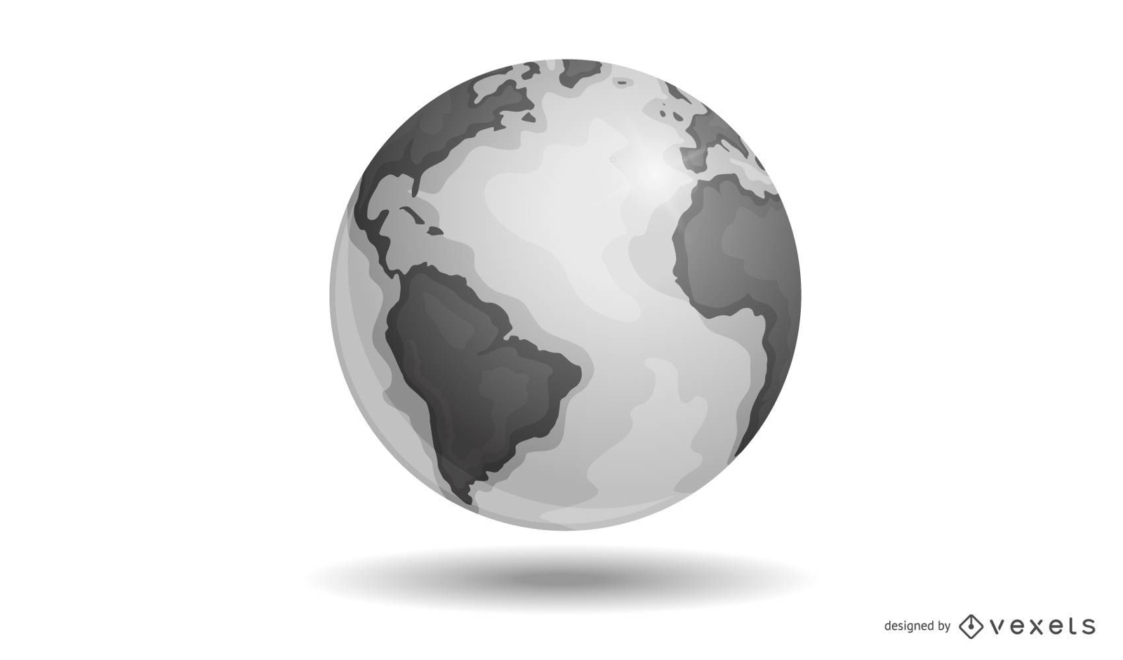
Vector Earth
Choose a folder
All favorites
Create new
Save
Vector Earth
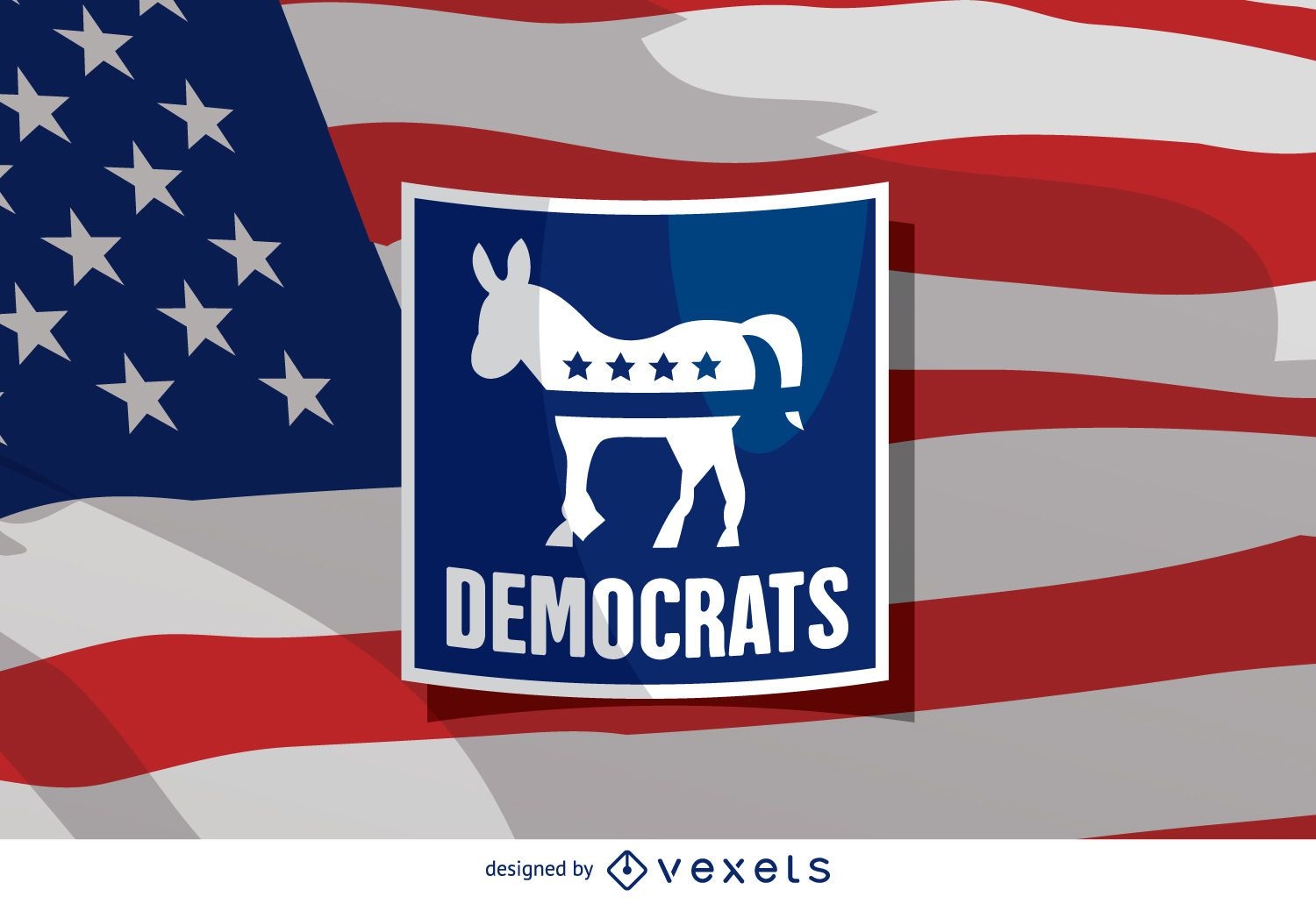
US election Democrat donkey
Choose a folder
All favorites
Create new
Save
US election Democrat donkey
Premium
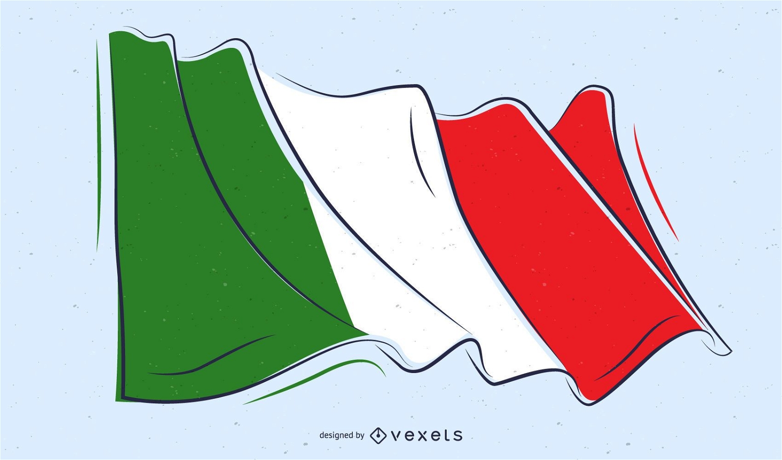
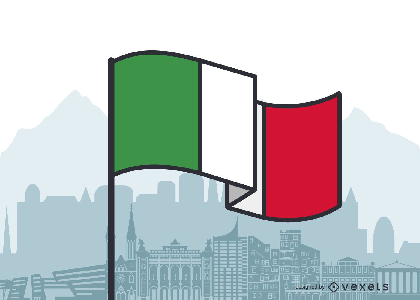
Italy Waving Flag Flat Design
Choose a folder
All favorites
Create new
Save
Italy Waving Flag Flat Design
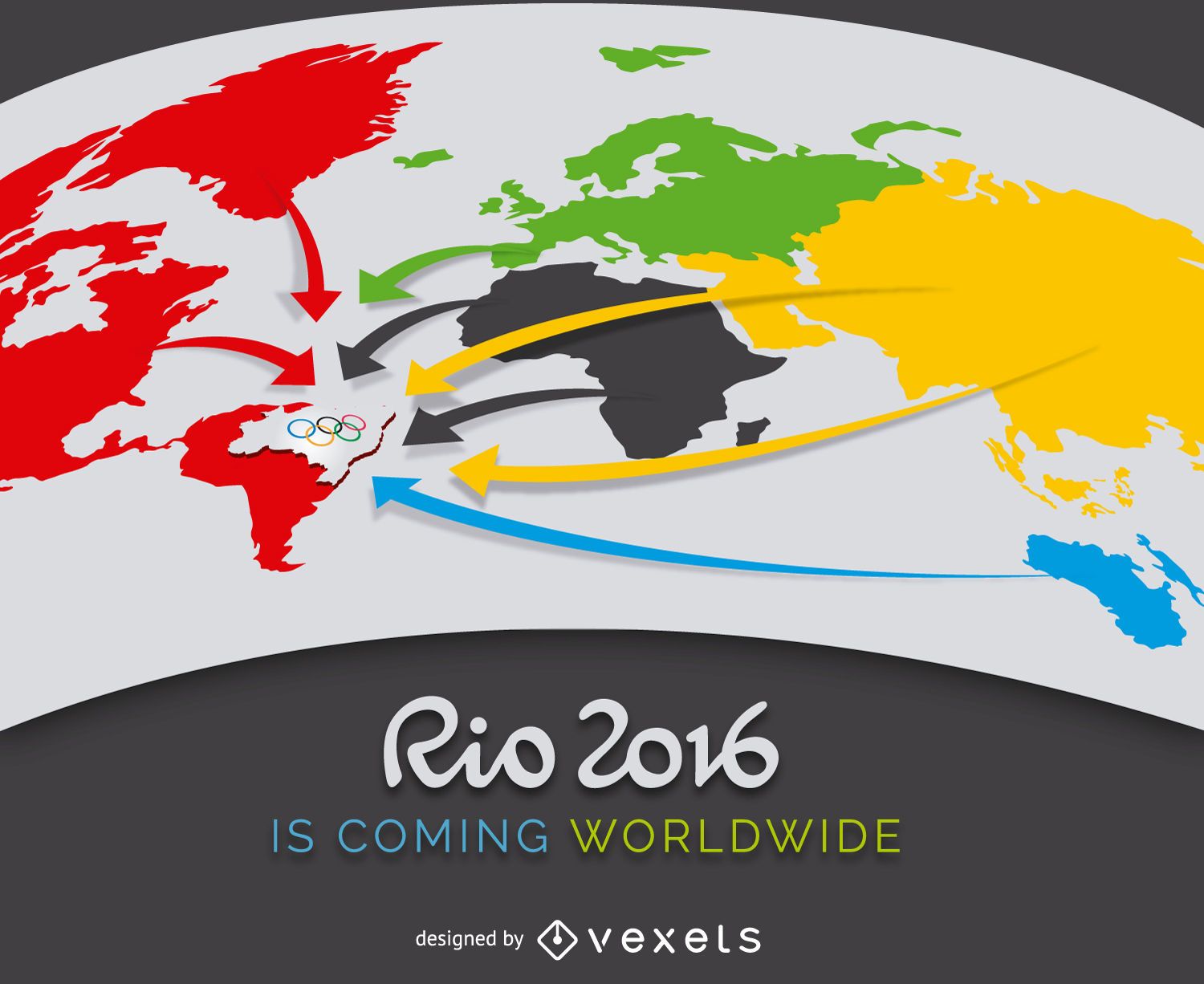
Rio 2016 advertising
Choose a folder
All favorites
Create new
Save
Rio 2016 advertising
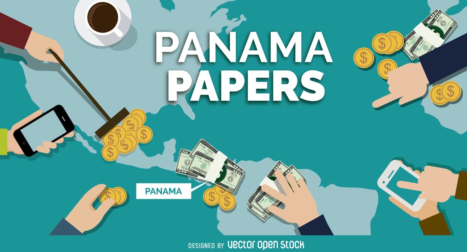
Panama Papers banner design
Choose a folder
All favorites
Create new
Save
Panama Papers banner design
Print ready
for Merch
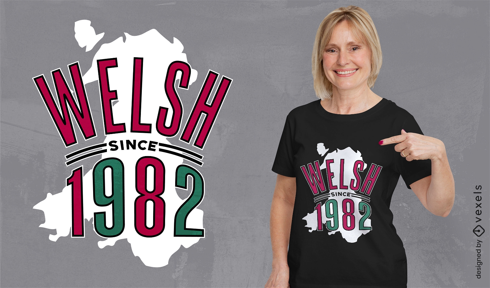
Wales country map birthday quote t-shirt design
Choose a folder
All favorites
Create new
Save
Wales country map birthday quote t-shirt design
Print ready
for Merch
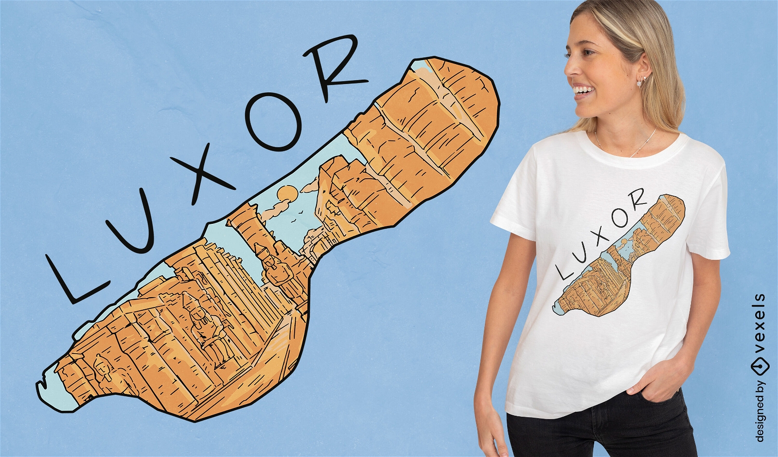
Luxor egypt country map t-shirt design
Choose a folder
All favorites
Create new
Save
Luxor egypt country map t-shirt design
Print ready
for Merch
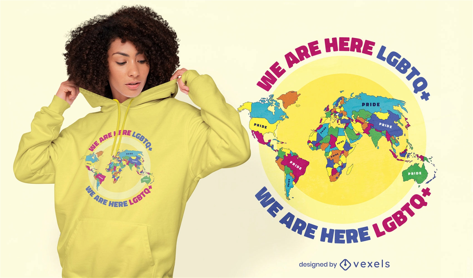
Pride world map lgbt t-shirt design
Choose a folder
All favorites
Create new
Save
Pride world map lgbt t-shirt design
Print ready
for Merch
Scotland map t-shirt design
Choose a folder
All favorites
Create new
Save
Scotland map t-shirt design
Print ready
for Merch
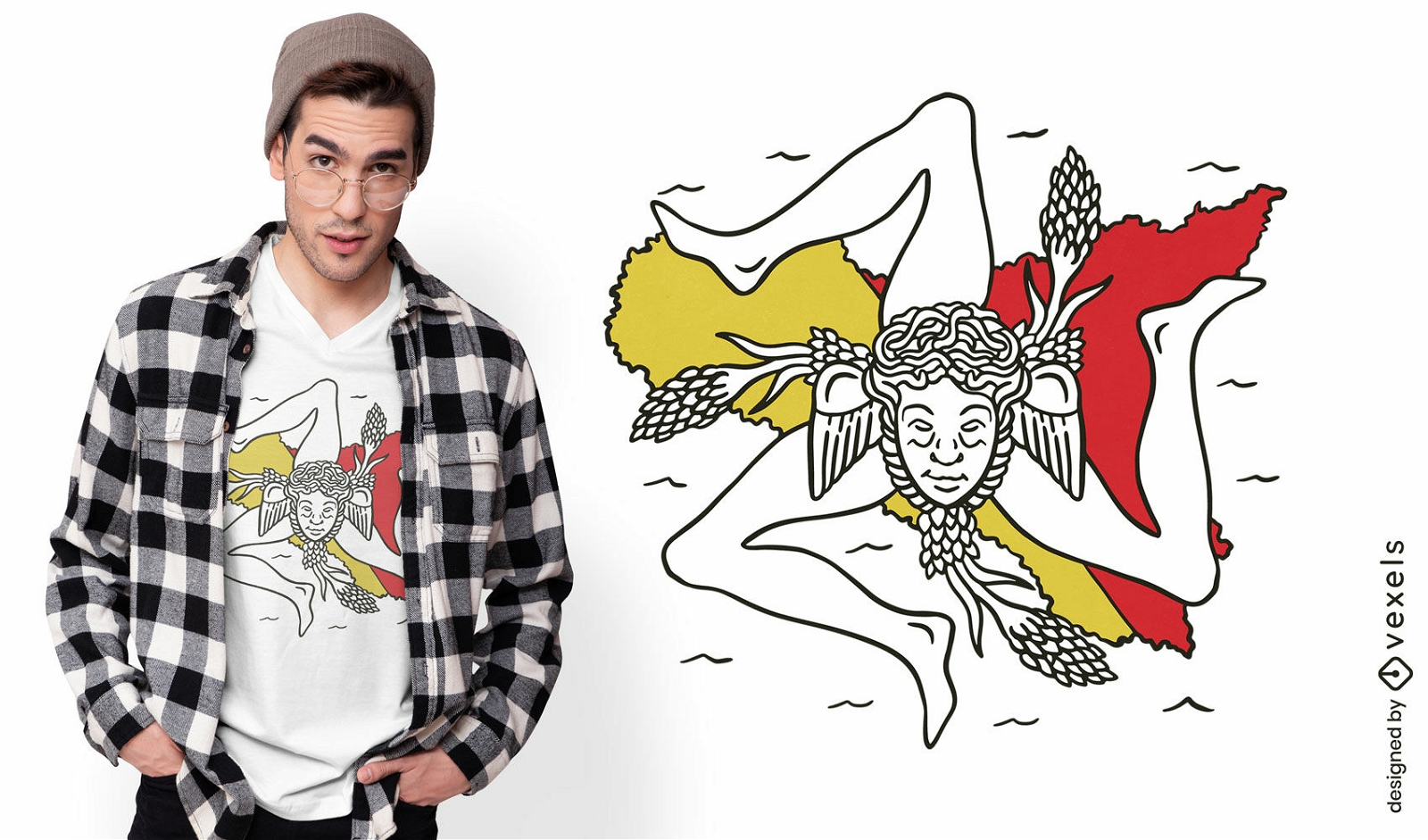
Sicily italy map and flag t-shirt design
Choose a folder
All favorites
Create new
Save
Sicily italy map and flag t-shirt design
Print ready
for Merch
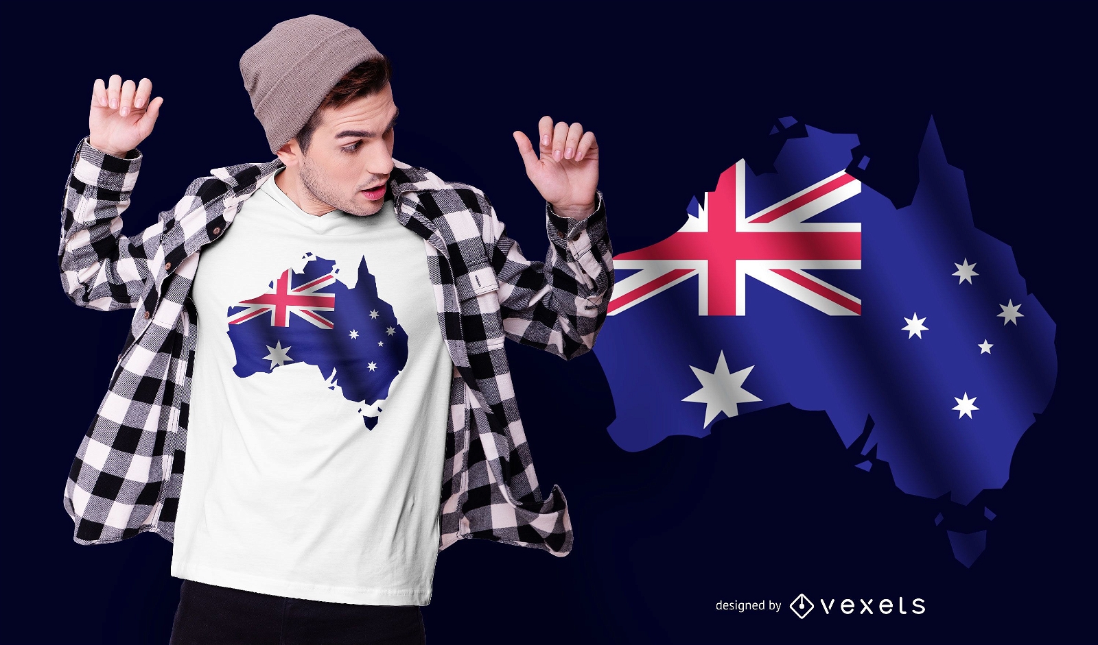
Australian flag and map t-shirt design
Choose a folder
All favorites
Create new
Save
Australian flag and map t-shirt design
Print ready
for Merch
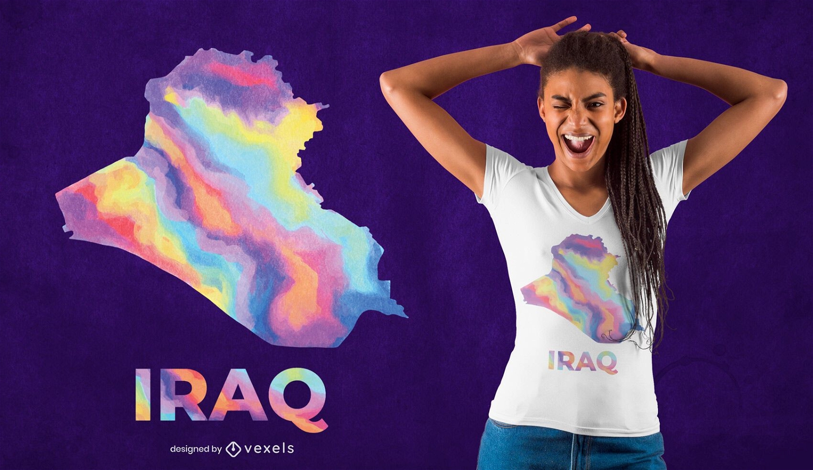
Iraq watercolor country t-shirt design
Choose a folder
All favorites
Create new
Save
Iraq watercolor country t-shirt design
Print ready
for Merch
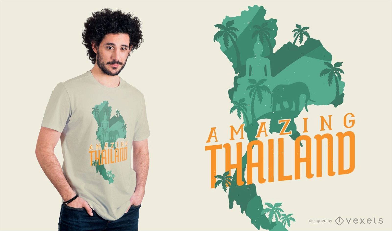
Amazing Thailand T-shirt Design
Choose a folder
All favorites
Create new
Save
Amazing Thailand T-shirt Design
Print ready
for Merch
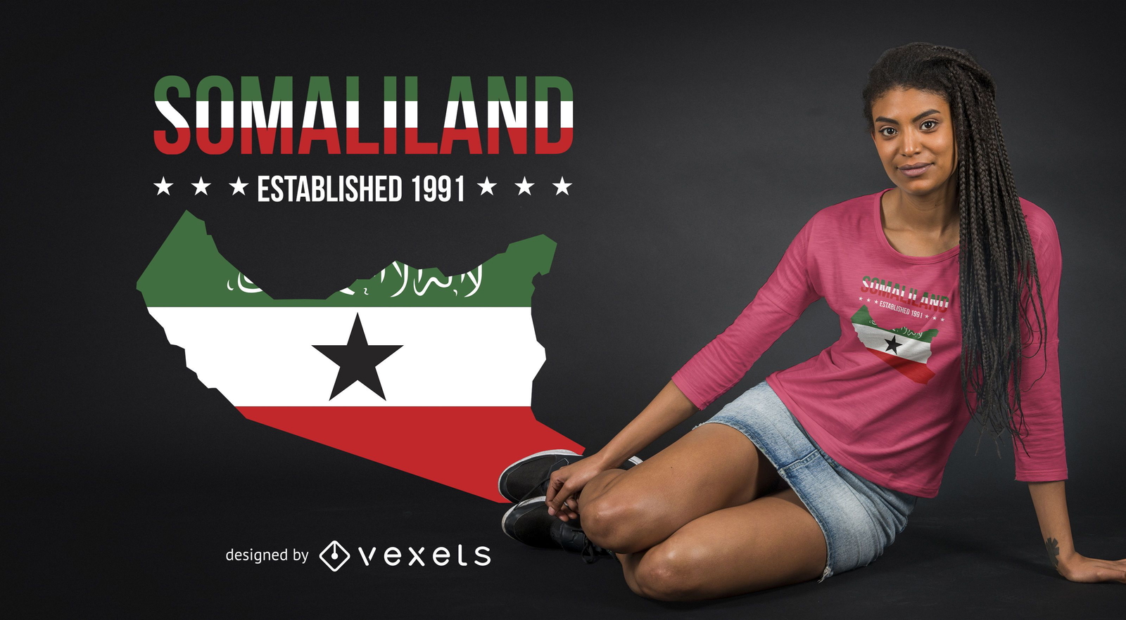
Somaliland T-shirt Design
Choose a folder
All favorites
Create new
Save
Somaliland T-shirt Design
Print ready
for Merch
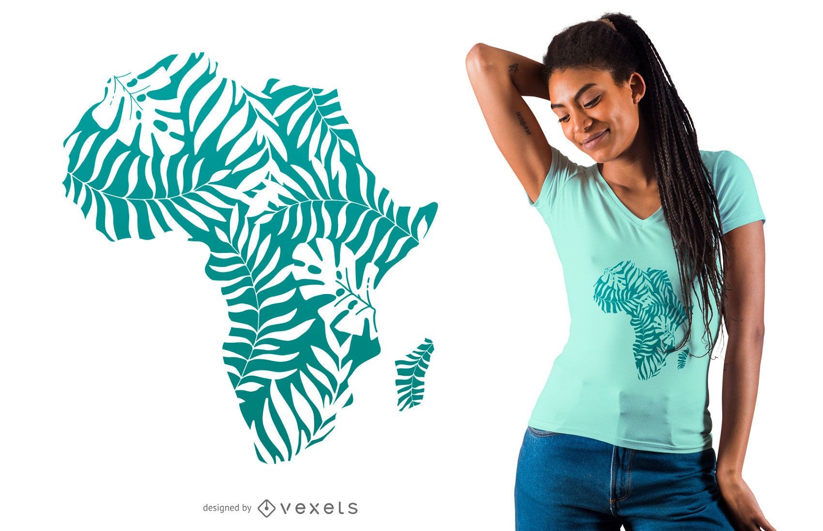
Tropical leaves africa t-shirt design
Choose a folder
All favorites
Create new
Save
Tropical leaves africa t-shirt design
Subscribe
To Get High-Quality Commercial Use Designs For Your Business
SEE PLANS
of 2
prev page
next page