534 state map Vector Designs for T-Shirts and merch

Download & buy editable state map AI Vector Graphics Designs for T shirts, Phone Cases, Book Covers and other Merch

Sort by

Most relevant
Michigan, MI, political map, with capital Lansing and metropolitan area Detroit. State in Great Lakes region of upper Midwestern United States, nicknamed The Great Lake State, and The Wolverine State.
Black United States Of America map. US background template. Map of America with separated countries and interstate borders. All states and regions are named in the layer panel.
map of USA
Complex USA political map with every county, major city, roads and hydrography.
USA map with isolated federal states. USA political and physical map. Untied states of America. US map. Vector
United States transparent map. Vector designed and fully edited.
Modern Map - USA with federal states
Blank similar USA map isolated on white background. United States of America country. Vector template for website, design, cover, infographics. Graph illustration.
United States map. Vintage USA map with state names. Poster of US map with grunge texture and emblem. United States of America vintage print for t-shirt. Trendy Hipster design. Vector illustration
Map of United States split into Census regions and divisions. Region definition, widely used for data collection and analysis. Most commonly used classification system. English. Illustration. Vector
Detailed USA Map on Green Background with Shadows (EPS10 Vector)
Illustrated map of USA
State of South Dakota with the name distorted into state shape. Pop art style vector illustration for stickers, t-shirts, posters, social media and print media.
United States of America map. USA map with states and state names isolated – stock vector
Oregon, OR, political map with the capital Salem. State in the Pacific Northwest region of the Western United States of America, with the nickname The Beaver State. Illustration. Vector.
USA MAP WITH NAME OF COUNTRIES,UNITED STATES OF AMERICA MAP, US MAP flat illustration vector
United States map, High detailed border
Poster map of United States of America with state names. Black print map of USA for t-shirt, poster or geographic themes. Hand-drawn map with states. Vector Illustration
United States of America map with text state names. USA MAP. Flat hand drawn black and white vector illustration. Design USA typography map with states text. American map for poster, banner, t-shirt.
Poster map of United States of America with state names. Print map of USA for t-shirt, poster or geographic themes. Hand-drawn colorful map with states. Vector Illustration
Simplified vector map of United States of America with full names of states
Map of United States Of America Scalable Partitioned provincial states vector
blue vector map of United States
Political divisions of the US. Map outlines on white background
USA map with names of states and capitals. Vector illustration. Correct shapes and state boundaries.
Idaho, ID, political map with the capital Boise, borders, important cities, rivers and lakes. State in the Pacific Northwest region of the Western United States of America, nicknamed Gem State. Vector
Indiana, IN, political map, with the capital Indianapolis, and most important cities, rivers and lakes. State in the Midwestern region of the United States of America, nicknamed The Hoosier State.
Flat style United States of America map with gps pointers .Layered vector illustration EPS 10 file.
United States of America, multi colored political map. 50 states with own geographic territory, constituent entities, bound together in a union and a federal government. English. Illustration. Vector.
South Dakota, SD, political map, with capital Pierre, and largest city Sioux Falls. State in the upper Midwestern subregion of the United States of America, nicknamed The Mount Rushmore State. Vector.
abstract map of United States
Oklahoma, OK, political map with capital Oklahoma City, important cities, rivers and lakes. US State in the South Central region, nicknamed Native America, Land of the Red Man, or Sooner State. Vector
Silhouette and colored united states map
State of Michigan with the name distorted into state shape. Pop art style vector illustration for stickers, t-shirts, posters, social media and print media.
Vintage map of United States of America 50 states vector map isolated on light background.
North Dakota, ND, political map, with capital Bismarck. State in the upper Midwest subregion of the United States of America, nicknamed Peace Garden State, Roughrider State and Heaven on Earth. Vector
Complex colorful USA political map with every county and major city.
Highly Detailed Map of United States. Highway and Population Map
USA Map United States of America Flat Icon Map Isolated
usa map isolated on white background.
Kentucky, KY, political map with capital Frankfort and largest cities. Commonwealth of Kentucky. State in the Southeastern region of the United States of America. Bluegrass State. Illustration. Vector
Handdrawn black illustration of a geographic map of the United States of America with named states. Doodle style map of the USA state names. US state contour on a white background.
Rhode Island on USA map
Utah location on USA map
Vector Illustration United States of America flat design
State of Arizona with the name distorted into state shape. Pop art style vector illustration for stickers, t-shirts, posters, social media and print media.
SUPERHigh Detail of US Map Outline Vector With Zoning Area
High detailed United States of America road map with labeling.
Vector Map of the United States Highlighting the State of Hawaii; Illustrator 8
United States of America Map - 3D illustration of U.S. map.  Colors are global, can be easily edited. Source: Outline Map of the United States from er.jsc.nasa.gov/seh/Mission_Geography/Map_Index.pdf
Sponsored results by Shutterstock Logo
Get 15% off with code: VEXELS15
Illustration of a man with magnifying glass

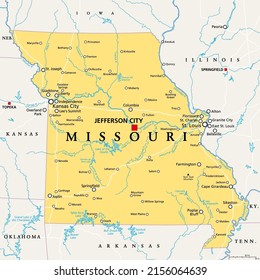
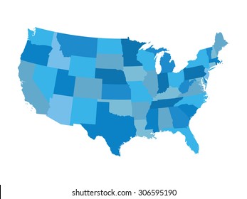
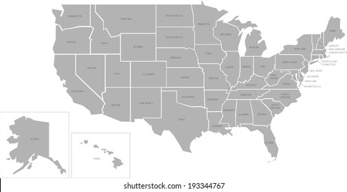
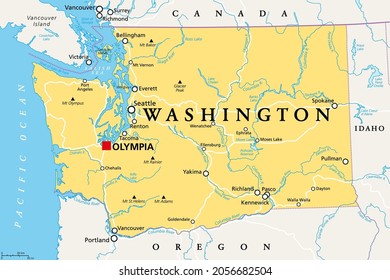
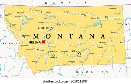
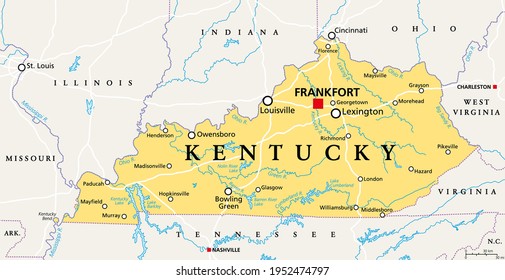
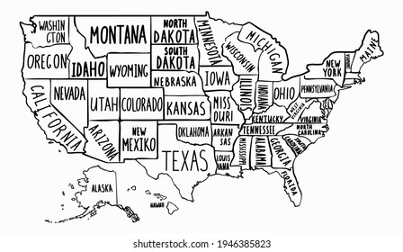
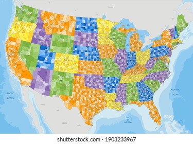
We didn't find any state map Merch Vectors, but here's all our state map designs or request design here

of 11