Design Library
New Merch Designs
T-Shirts
Vectors
Trending Merch Designs
PNGs & SVGs
Mockups
T-Shirt PSD Templates
Explore Designs
KDP Designs
Posters
Mugs
Phone Cases
Tote Bags
Pillows
Design Tools
Merch Designer
New!
Mockup Generator
AI Design Generator
Image Vectorizer
Quote Generator
T-Shirt Maker (Old)
Resources
Merch Digest
Blog
Help Center
Learn About Merch
Feedback
Corporate Solutions
Enterprise
API Access
Design Studio
Bulk Design Production
Pricing
Loading...
Sign Up
Login
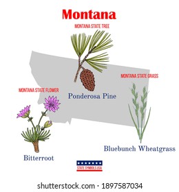
Merch Vectors
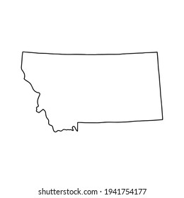
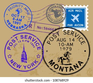
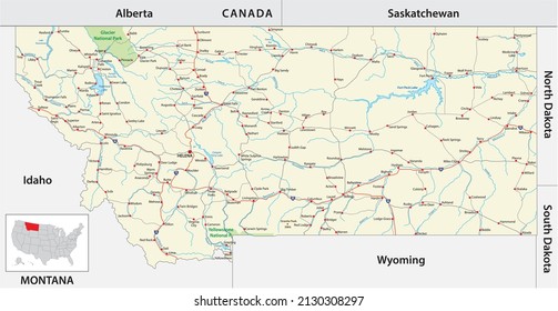
montana
Design Library
New Merch Designs
T-Shirts
Vectors
Trending Merch Designs
PNGs & SVGs
Mockups
T-Shirt PSD Templates
Explore Designs
KDP Designs
Posters
Mugs
Phone Cases
Tote Bags
Pillows
Design Tools
Merch Designer
New!
Mockup Generator
AI Design Generator
Image Vectorizer
Quote Generator
T-Shirt Maker (Old)
Resources
Merch Digest
Blog
Help Center
Learn About Merch
Feedback
Corporate Solutions
Enterprise
API Access
Design Studio
Bulk Design Production
PLANS
Merch Vectors
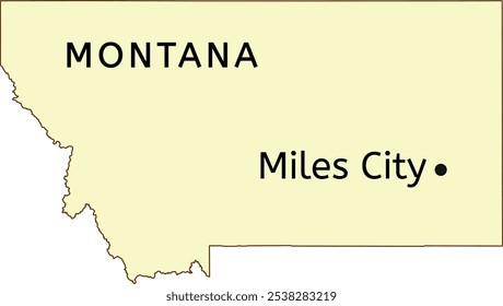
montana
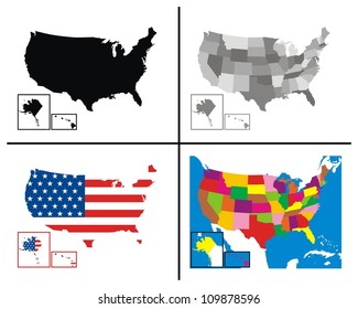
765 montana Vector Designs for T-Shirts and merch
Download & buy editable montana AI Vector Graphics Designs for T shirts, Phone Cases, Book Covers and other Merch
Sort by
Most relevant
Sponsored results by
Get 15% off with code: VEXELS15
Show more
Premium
Nature line icons set
Choose a folder
All favorites
Create new
Save
Nature line icons set
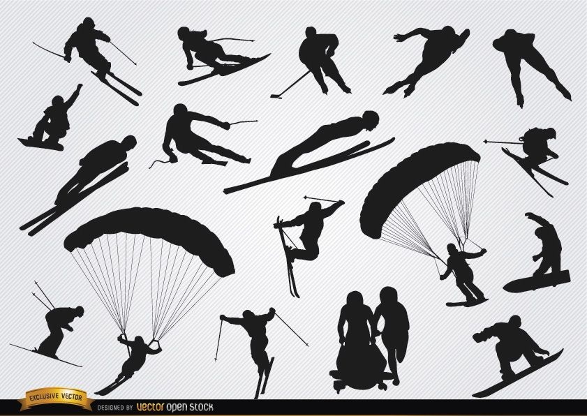
40 Winter sports silhouettes
Choose a folder
All favorites
Create new
Save
40 Winter sports silhouettes
6 Extreme sports badges
Choose a folder
All favorites
Create new
Save
6 Extreme sports badges
Cityscapes construction
Choose a folder
All favorites
Create new
Save
Cityscapes construction
Premium
Nature elements stickers doodle set
Choose a folder
All favorites
Create new
Save
Nature elements stickers doodle set
Premium
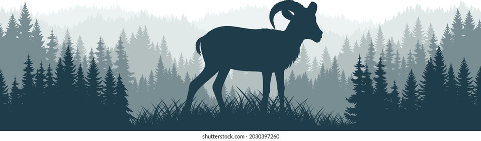
Mountain Goat Inspirational T-shirt
Choose a folder
All favorites
Create new
Save
Mountain Goat Inspirational T-shirt
Editable text
Premium
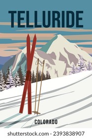
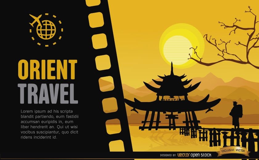
Tokyo japanese temple travel poster design
Choose a folder
All favorites
Create new
Save
Tokyo japanese temple travel poster design
Sunrise on the mountains illustration
Choose a folder
All favorites
Create new
Save
Sunrise on the mountains illustration
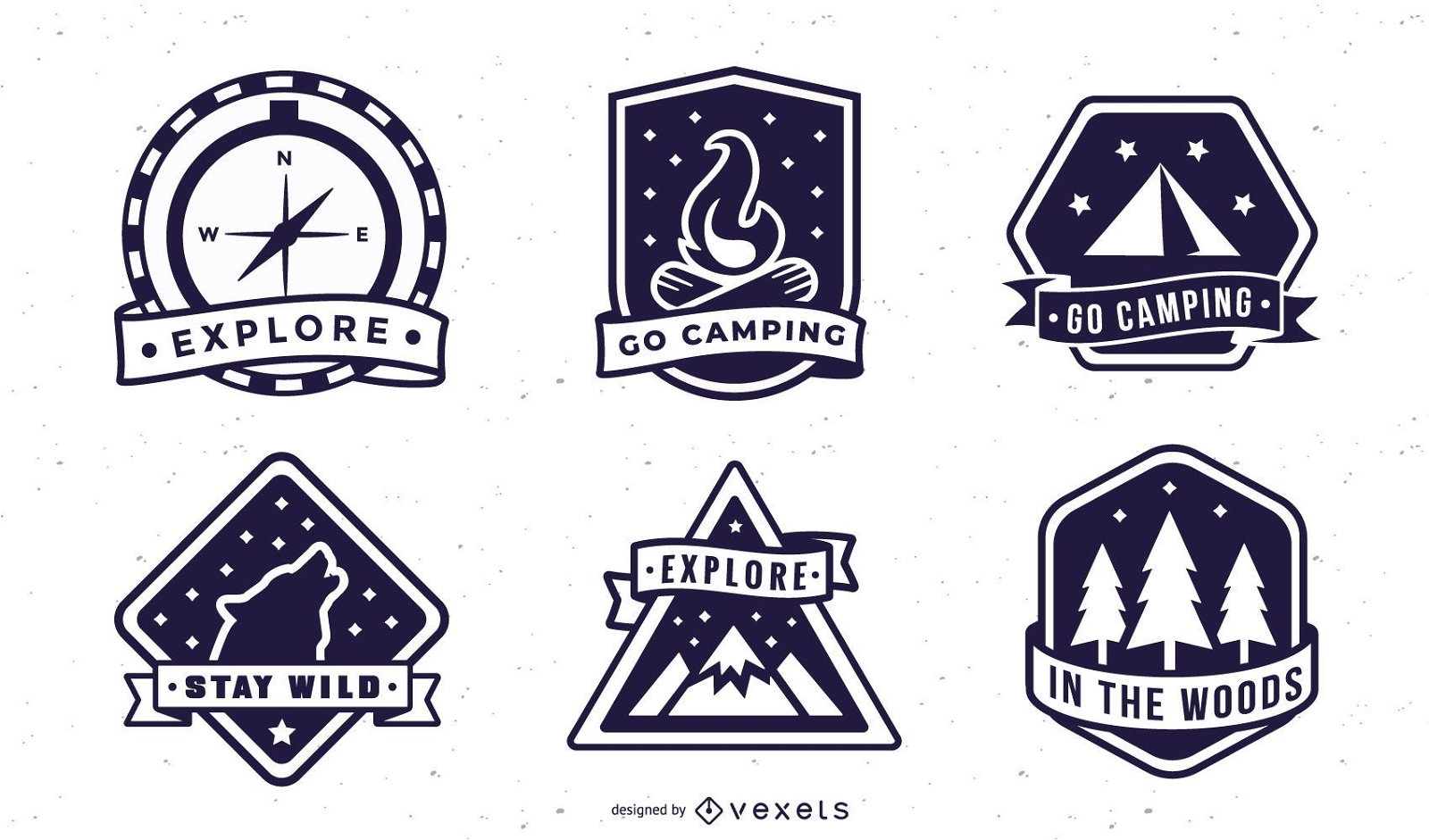
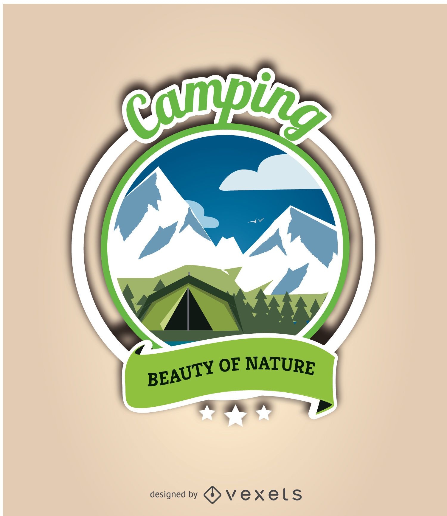
Camping badges pack
Choose a folder
All favorites
Create new
Save
Camping badges pack
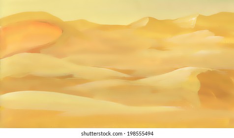
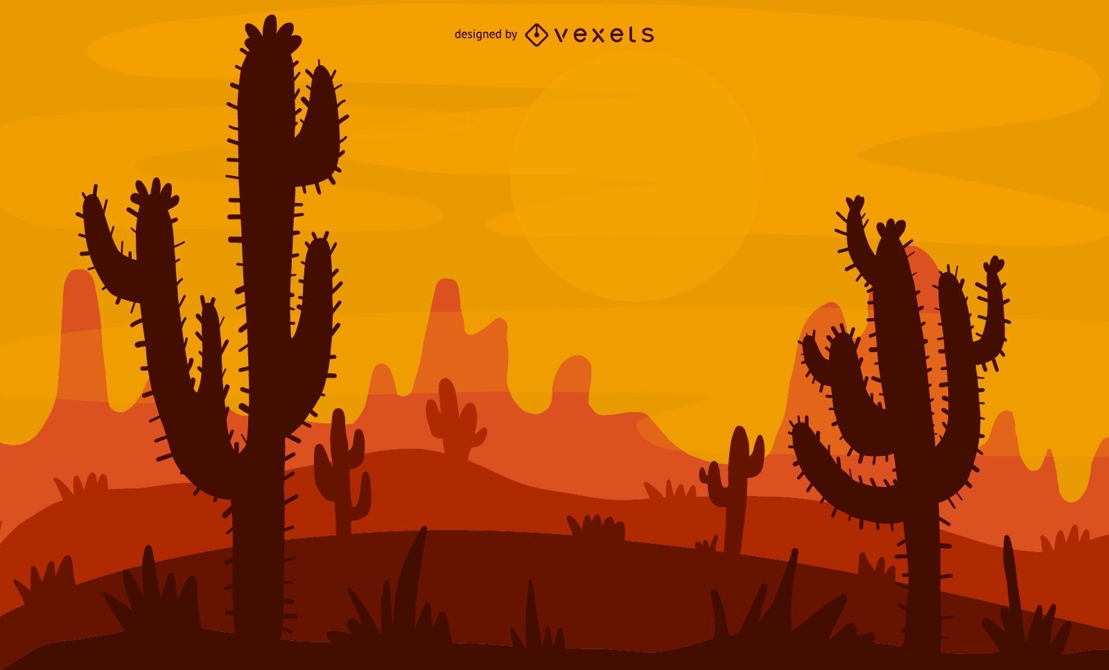
Desert Illustration Design
Choose a folder
All favorites
Create new
Save
Desert Illustration Design
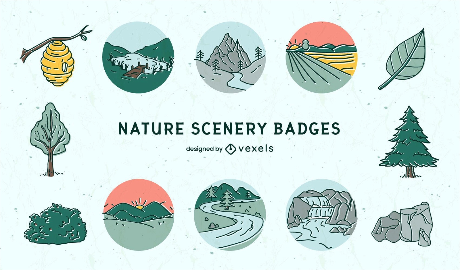
Premium
Nature landscape scenery badges set
Choose a folder
All favorites
Create new
Save
Nature landscape scenery badges set
Camping icons and elements
Choose a folder
All favorites
Create new
Save
Camping icons and elements
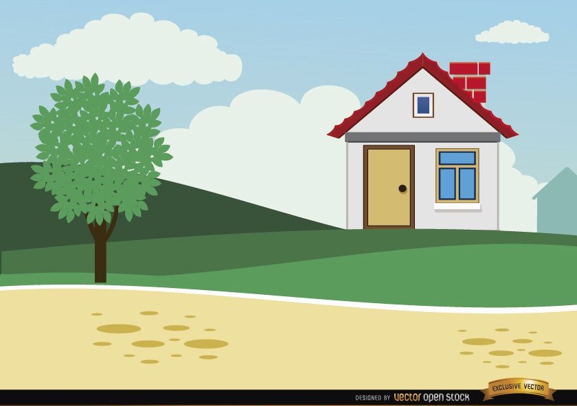
Small country cartoon house background
Choose a folder
All favorites
Create new
Save
Small country cartoon house background
Editable text
Premium
Tokyo city japanese poster template
Choose a folder
All favorites
Create new
Save
Tokyo city japanese poster template
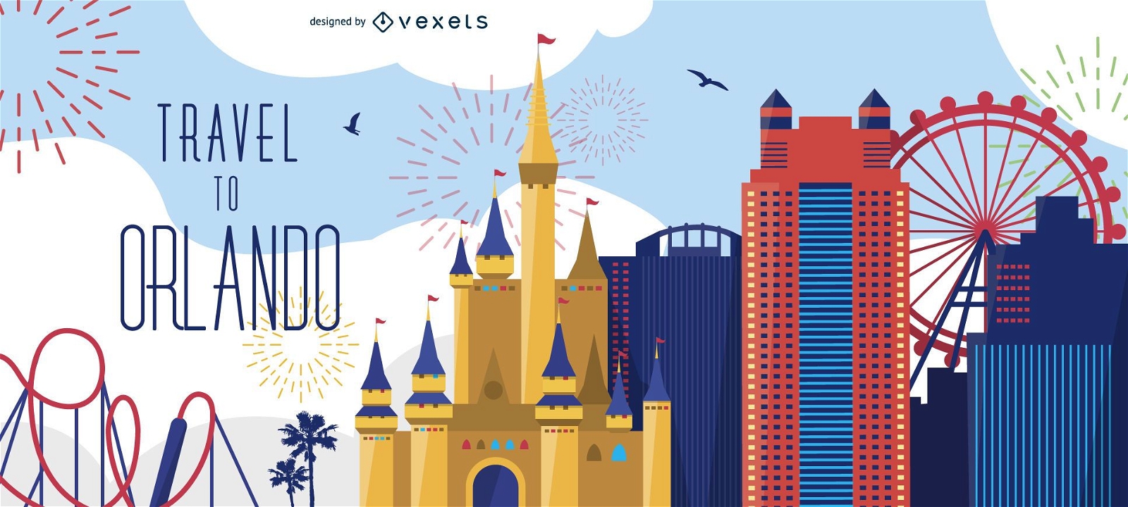
Travel to Orlando banner
Choose a folder
All favorites
Create new
Save
Travel to Orlando banner
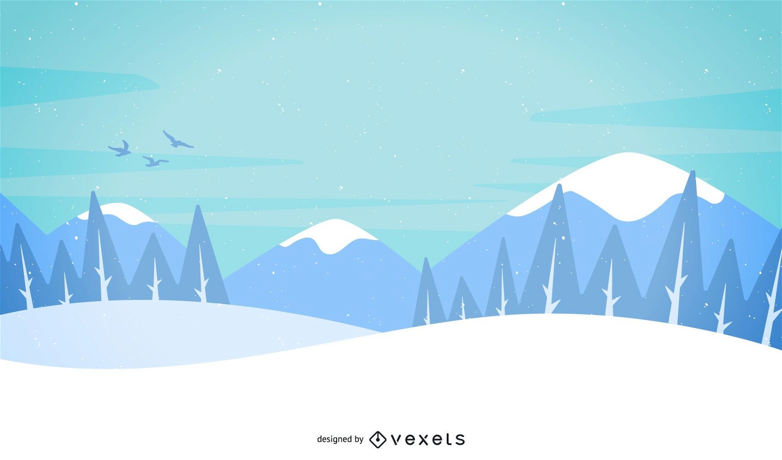
Snow and mountains illustrated landscape
Choose a folder
All favorites
Create new
Save
Snow and mountains illustrated landscape
Climbing motivation metaphor
Choose a folder
All favorites
Create new
Save
Climbing motivation metaphor
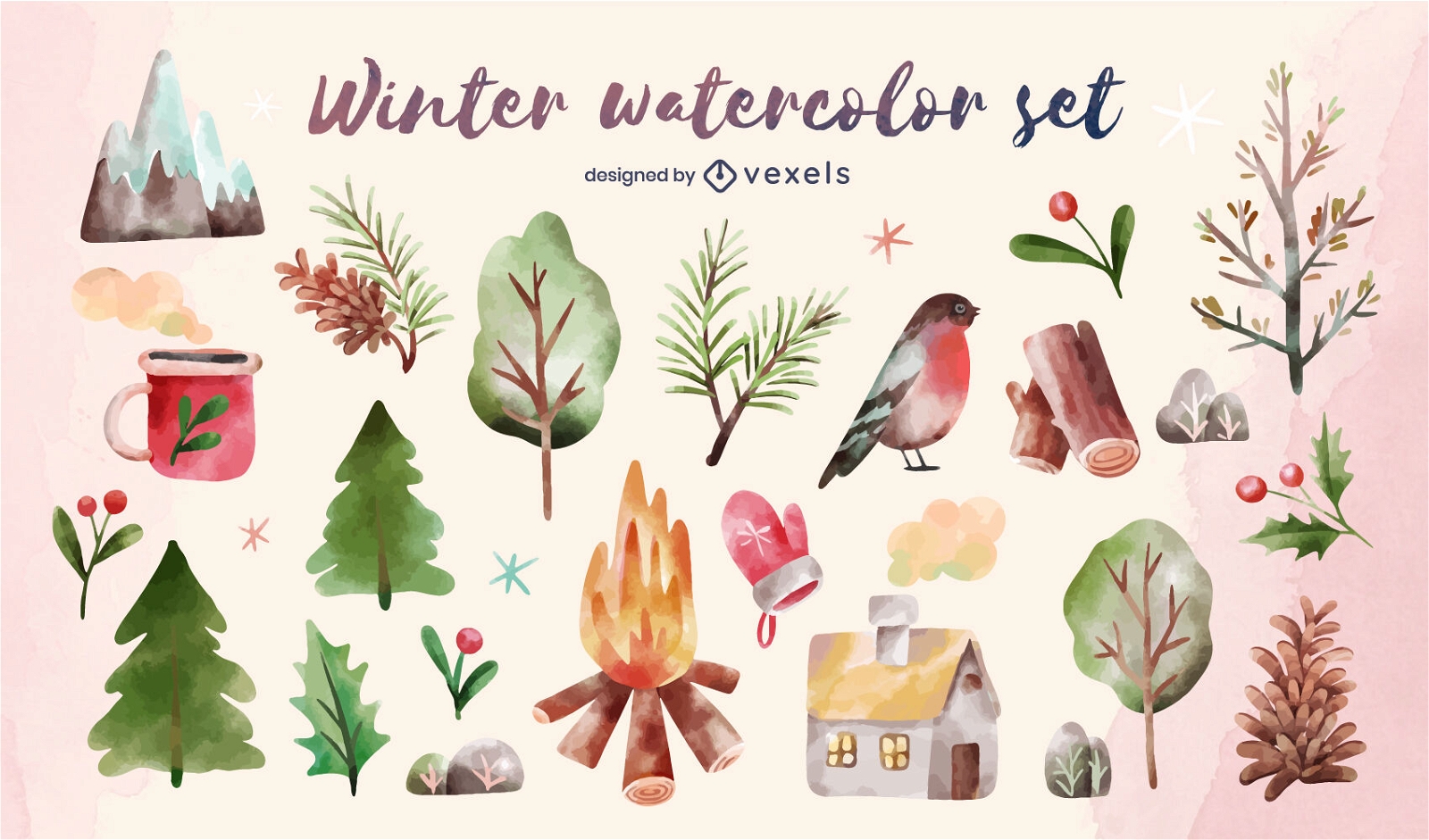
Premium
Winter nature elements watercolor set
Choose a folder
All favorites
Create new
Save
Winter nature elements watercolor set
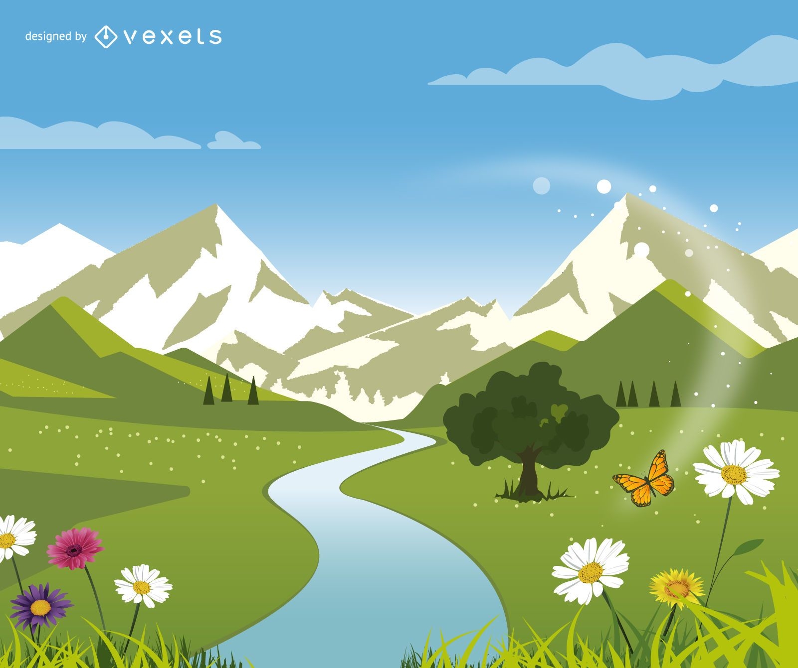
Green Nature Landscape with Hills and River
Choose a folder
All favorites
Create new
Save
Green Nature Landscape with Hills and River
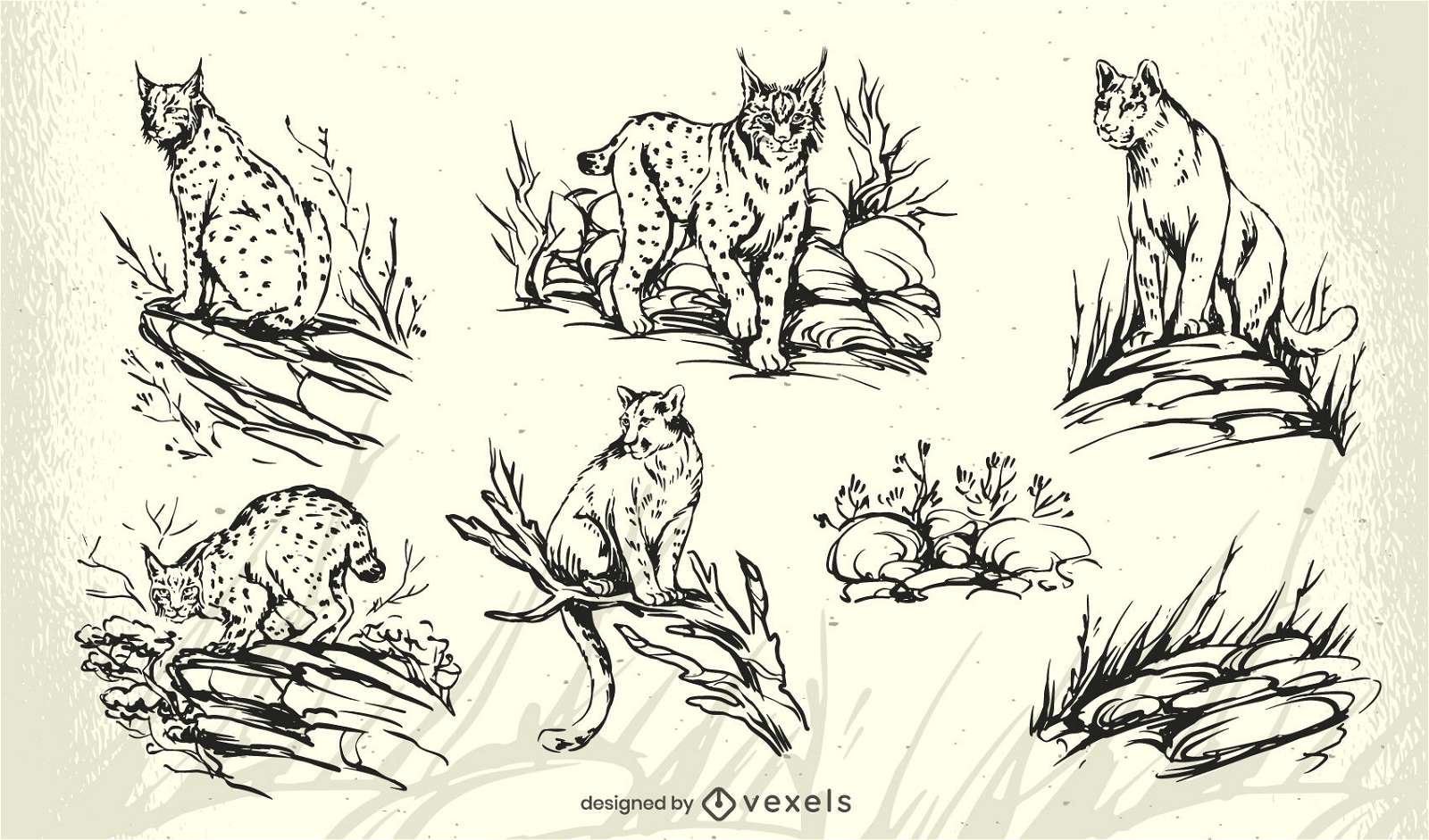
Premium
Lynx cat character set
Choose a folder
All favorites
Create new
Save
Lynx cat character set
Diving and alpinism banners
Choose a folder
All favorites
Create new
Save
Diving and alpinism banners
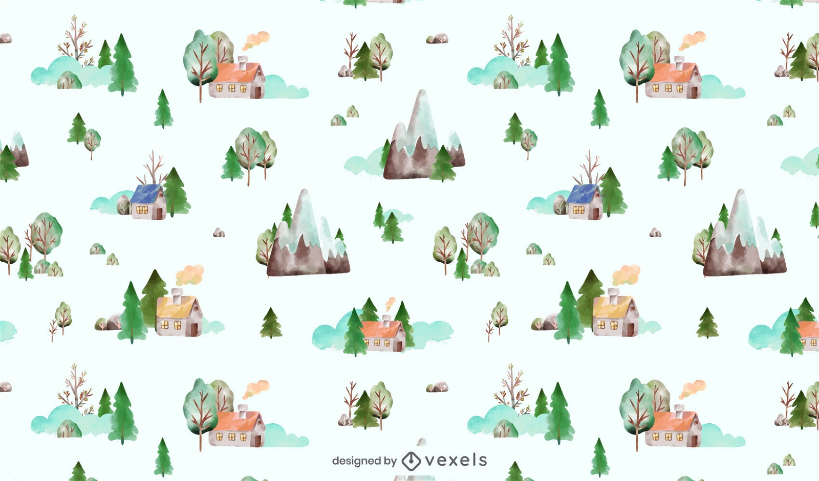
Tileable pattern
Premium
Winter nature elements watercolor pattern design
Choose a folder
All favorites
Create new
Save
Winter nature elements watercolor pattern design
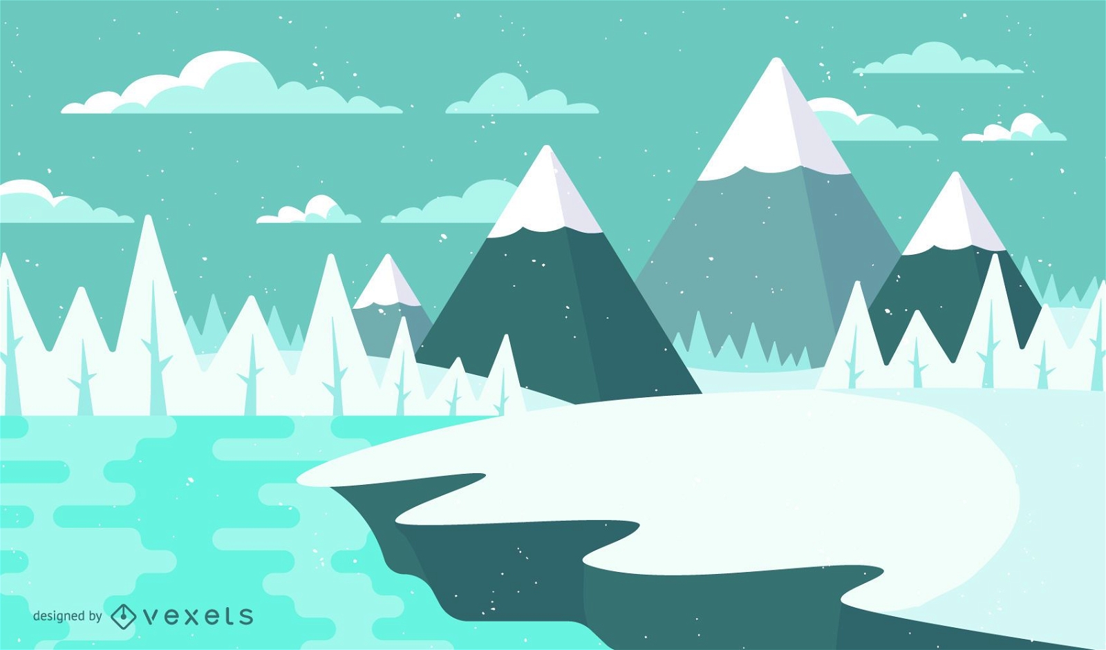
Winter snow landscape illustration
Choose a folder
All favorites
Create new
Save
Winter snow landscape illustration
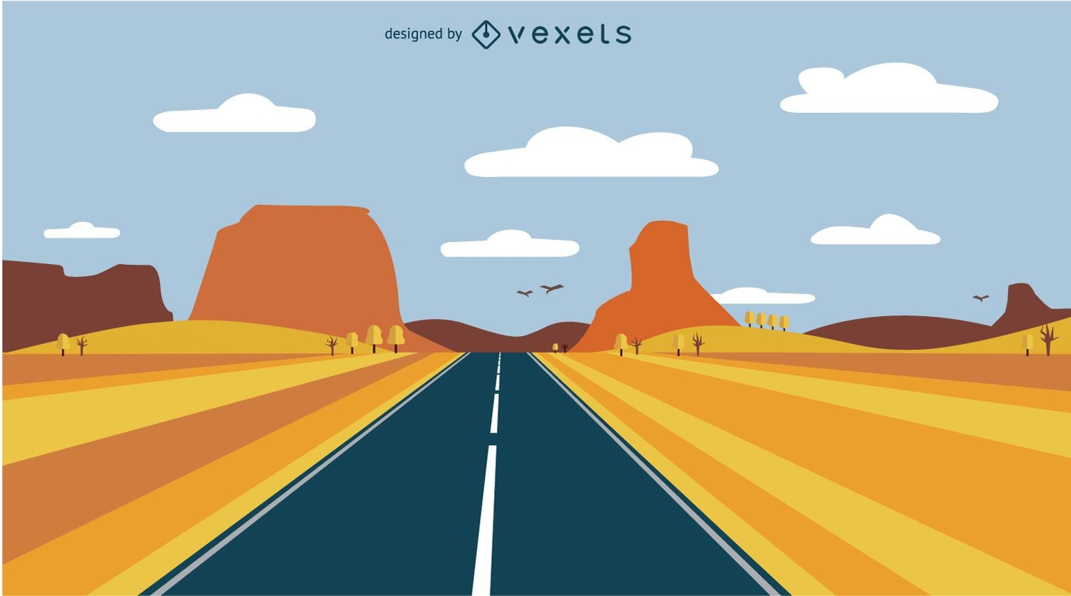
Road desert landscape
Choose a folder
All favorites
Create new
Save
Road desert landscape
Travel to China background
Choose a folder
All favorites
Create new
Save
Travel to China background
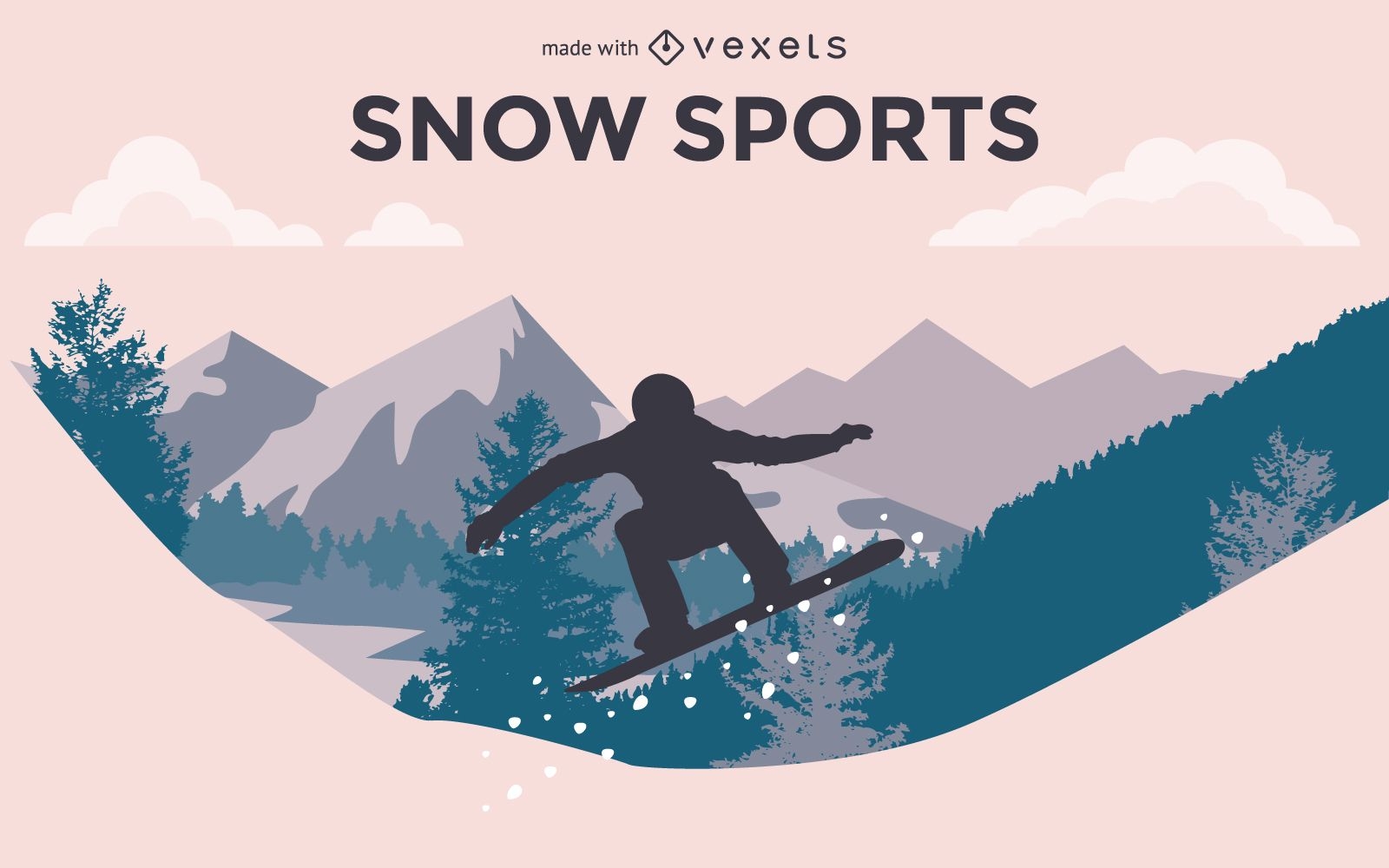
Snow sports silhouettes set
Choose a folder
All favorites
Create new
Save
Snow sports silhouettes set
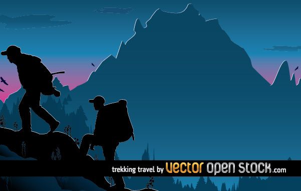
Trekking Travel illustration design
Choose a folder
All favorites
Create new
Save
Trekking Travel illustration design
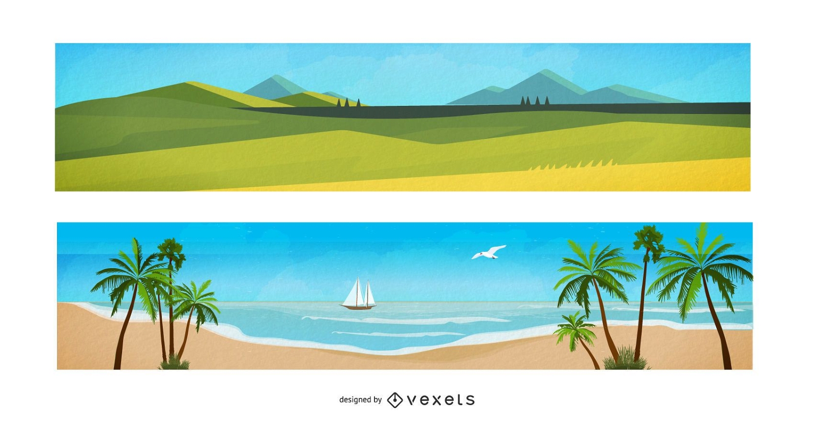
Watercolor Landscape Cartoon Banners
Choose a folder
All favorites
Create new
Save
Watercolor Landscape Cartoon Banners
Editable text
Premium
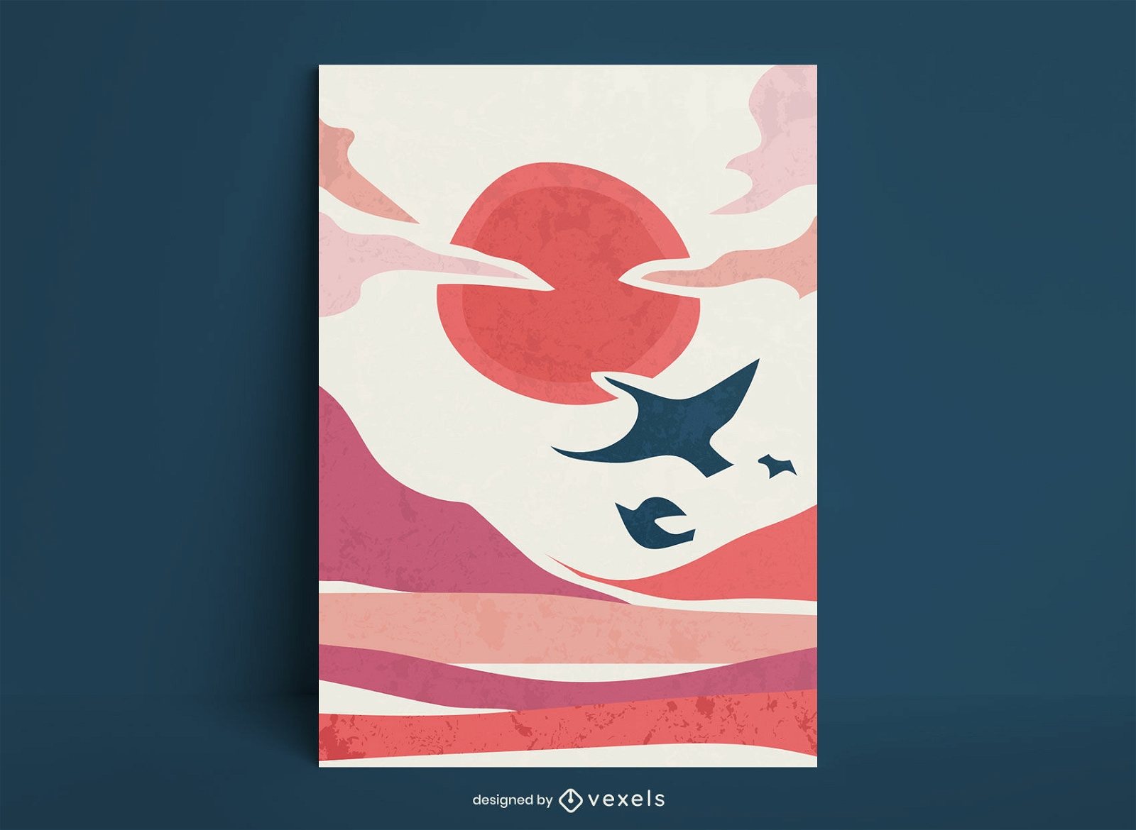
Birds flying in the sunset poster template
Choose a folder
All favorites
Create new
Save
Birds flying in the sunset poster template
Rio 2016 vector icons pictograms
Choose a folder
All favorites
Create new
Save
Rio 2016 vector icons pictograms
City around message circle
Choose a folder
All favorites
Create new
Save
City around message circle
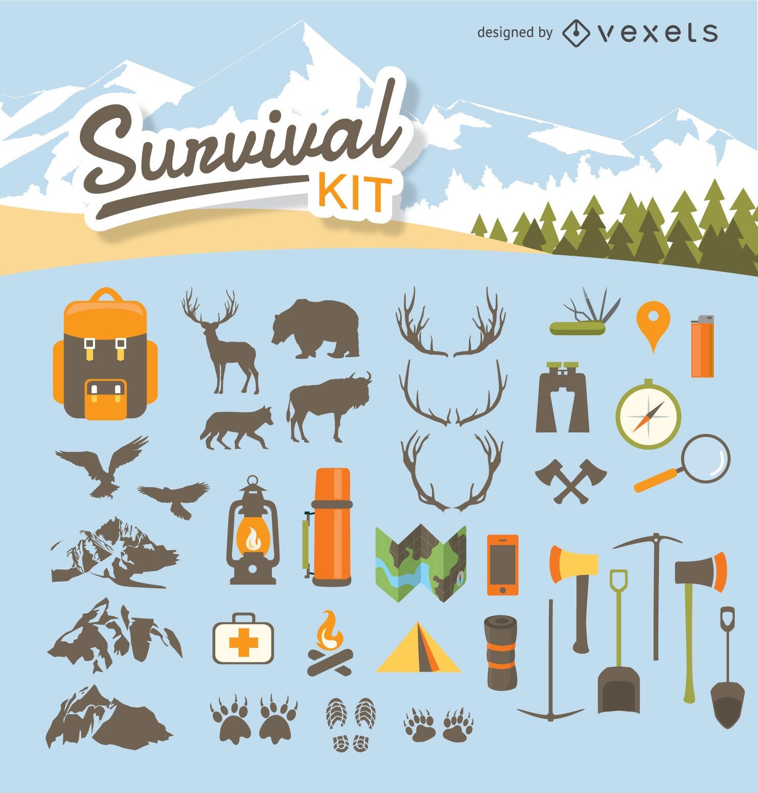
Camping survival kit
Choose a folder
All favorites
Create new
Save
Camping survival kit
Minimal Travel & Tourism Icon Set
Choose a folder
All favorites
Create new
Save
Minimal Travel & Tourism Icon Set
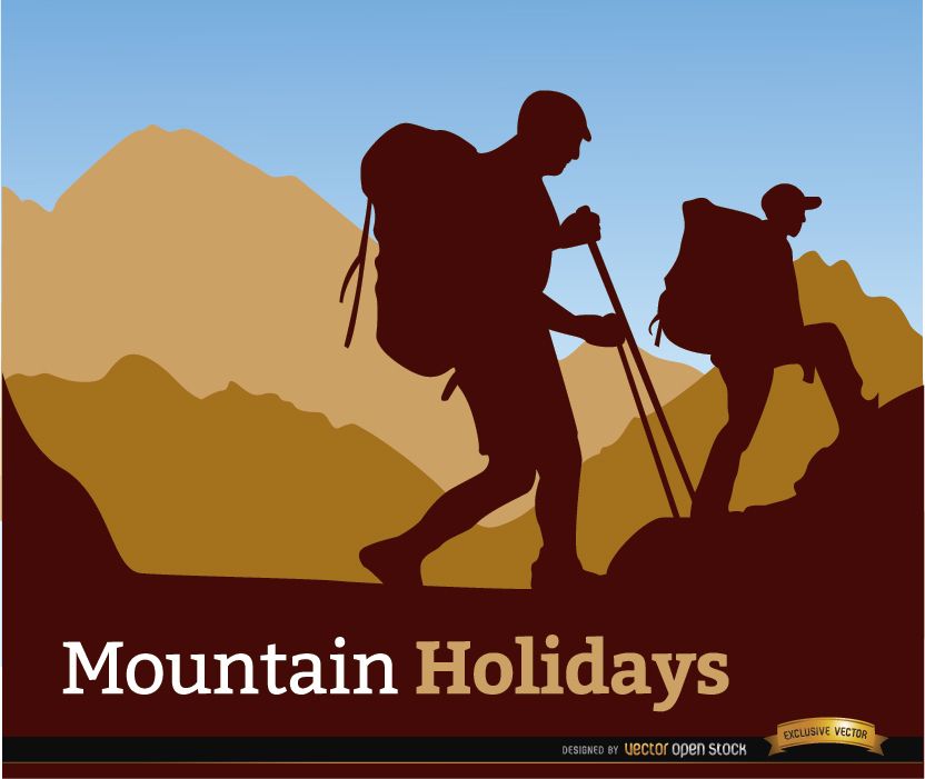
Mountaineering holidays background
Choose a folder
All favorites
Create new
Save
Mountaineering holidays background
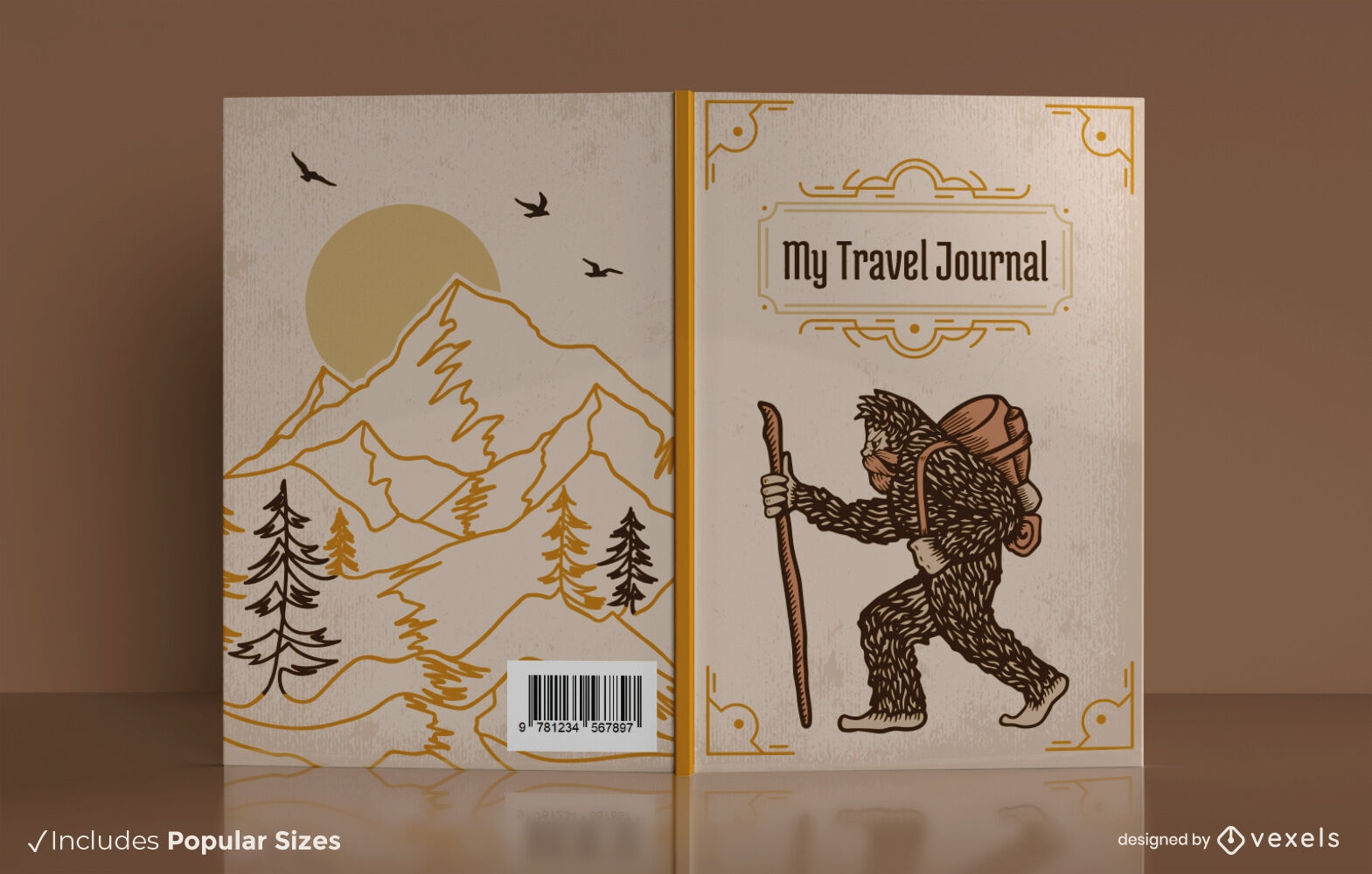
Print ready
Premium
Bigfoot travel journal book cover design
Choose a folder
All favorites
Create new
Save
Bigfoot travel journal book cover design
Premium
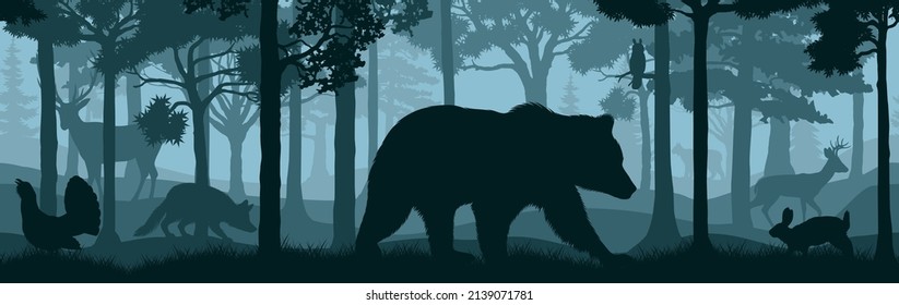
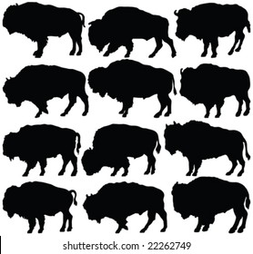
Set of wild animals silhouettes
Choose a folder
All favorites
Create new
Save
Set of wild animals silhouettes
Winter sports customizable design
Choose a folder
All favorites
Create new
Save
Winter sports customizable design
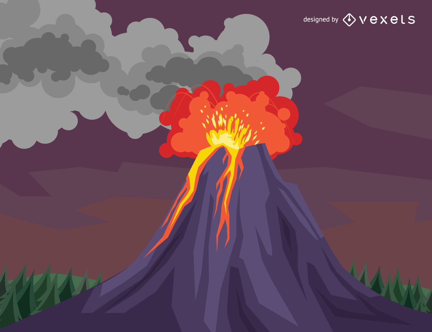
Volcano eruption drawing
Choose a folder
All favorites
Create new
Save
Volcano eruption drawing
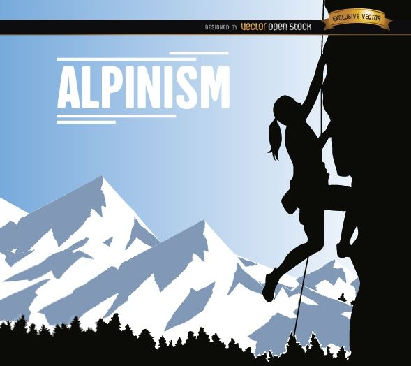
Alpinism woman design
Choose a folder
All favorites
Create new
Save
Alpinism woman design
Winter landscape illustration with deer
Choose a folder
All favorites
Create new
Save
Winter landscape illustration with deer
Camping label
Choose a folder
All favorites
Create new
Save
Camping label
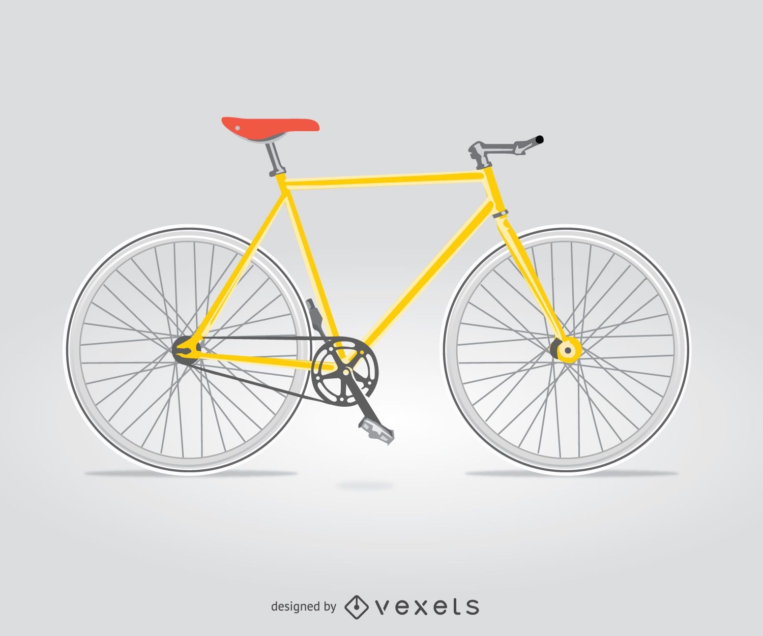
Isolated city bike
Choose a folder
All favorites
Create new
Save
Isolated city bike
Premium
Colorful Ski Pair Illustration Set
Choose a folder
All favorites
Create new
Save
Colorful Ski Pair Illustration Set
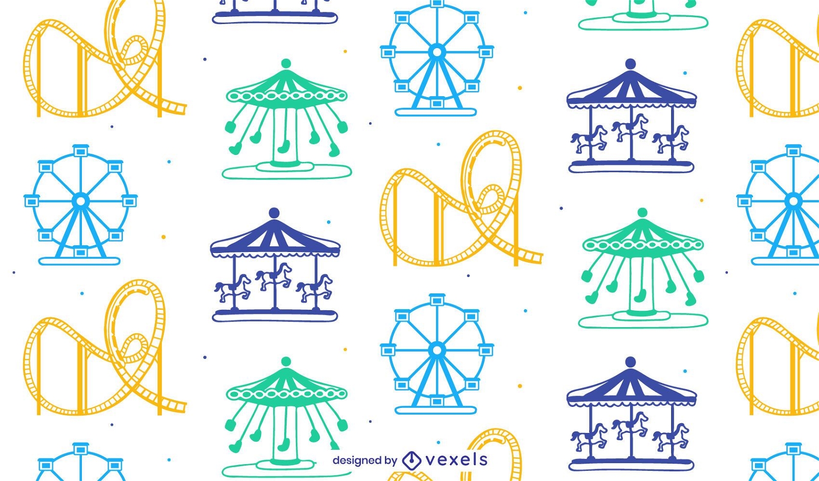
Tileable pattern
Premium
Amusement park seamless pattern
Choose a folder
All favorites
Create new
Save
Amusement park seamless pattern
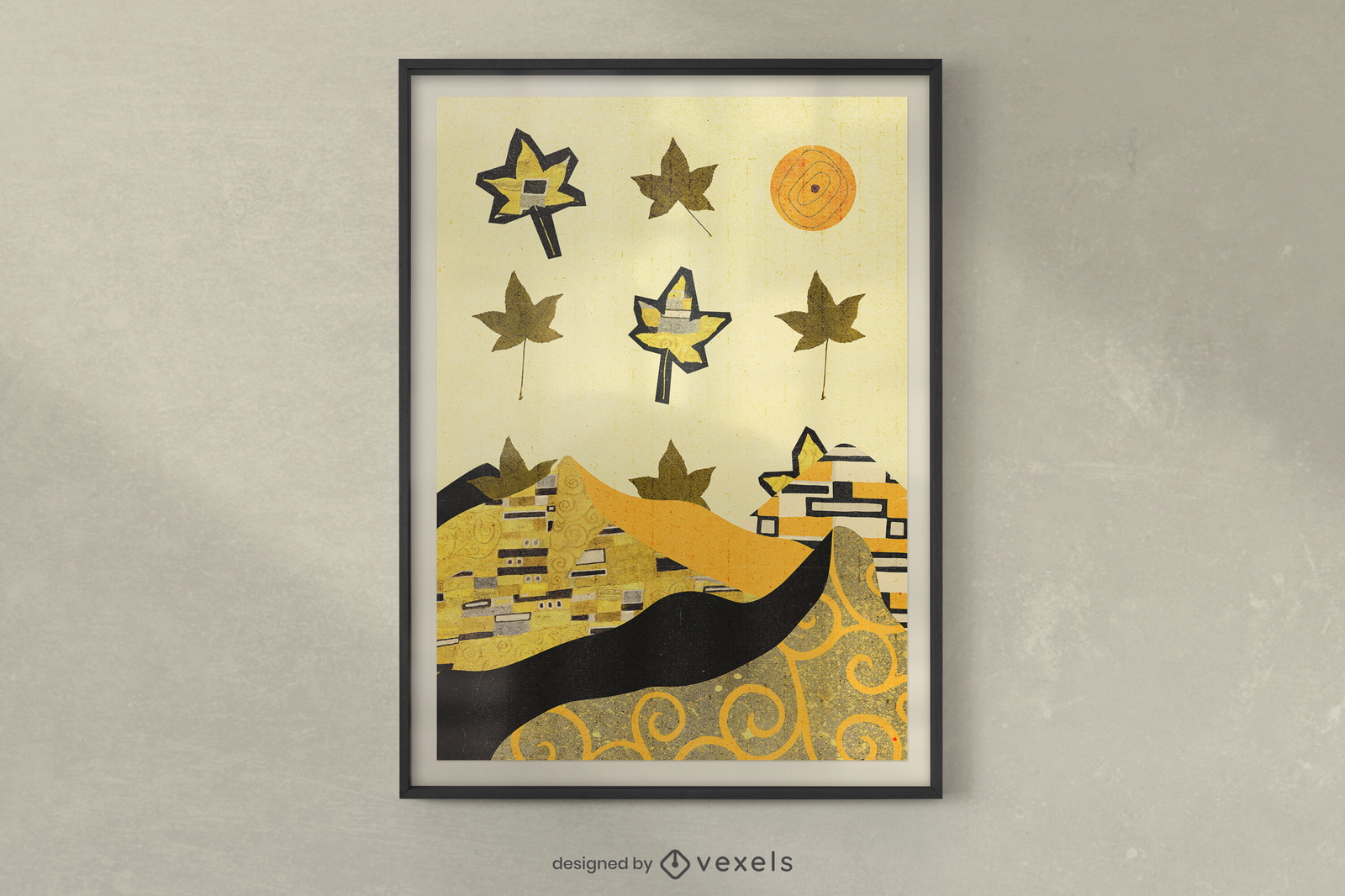
Print ready
Premium
Autumn collage poster design
Choose a folder
All favorites
Create new
Save
Autumn collage poster design
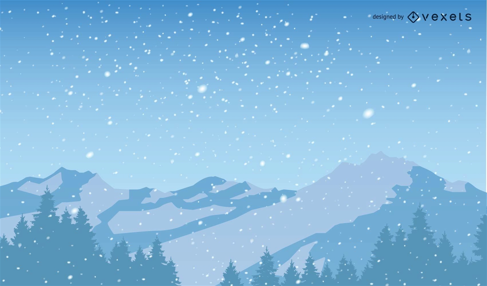
Snowy Christmas Mountains Background
Choose a folder
All favorites
Create new
Save
Snowy Christmas Mountains Background
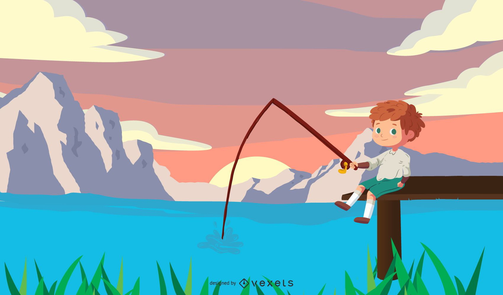
Boy Fishing on Lake Cartoon
Choose a folder
All favorites
Create new
Save
Boy Fishing on Lake Cartoon
Premium
Nature elements minimalist stroke set
Choose a folder
All favorites
Create new
Save
Nature elements minimalist stroke set
Premium
Cute stickers set
Choose a folder
All favorites
Create new
Save
Cute stickers set
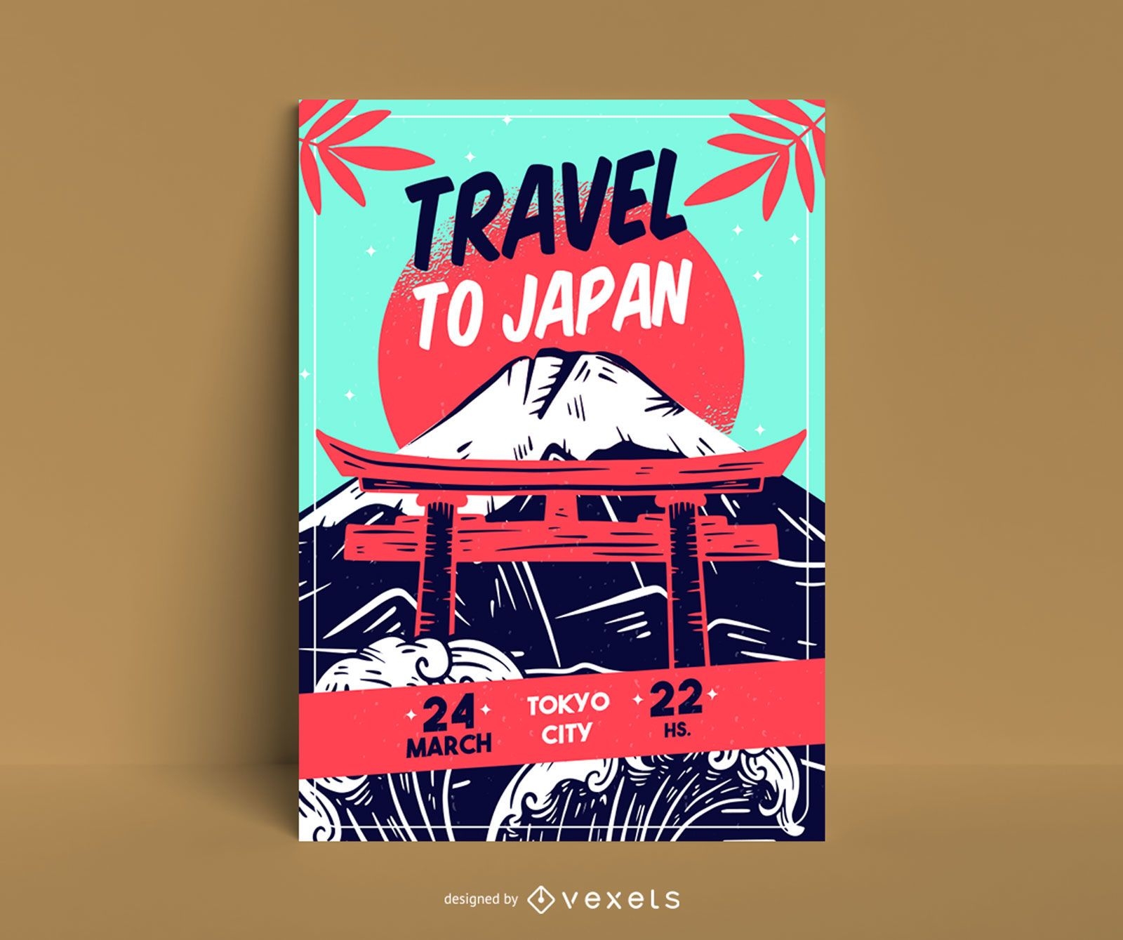
Editable text
Premium
Travel to japan poster template
Choose a folder
All favorites
Create new
Save
Travel to japan poster template
Boost Your Business
With The Leading Graphic Platform For Merch.
SEE PLANS
Next
of 16
prev page
next page