Design Library
New Merch Designs
T-Shirts
Vectors
Trending Merch Designs
PNGs & SVGs
Mockups
T-Shirt PSD Templates
Explore Designs
KDP Designs
Posters
Mugs
Phone Cases
Tote Bags
Pillows
Design Tools
Merch Designer
New!
Mockup Generator
AI Design Generator
Image Vectorizer
Quote Generator
T-Shirt Maker (Old)
Resources
Merch Digest
Blog
Help Center
Learn About Merch
Feedback
Corporate Solutions
Enterprise
API Access
Design Studio
Bulk Design Production
Pricing
Loading...
Sign Up
Login
Merch Vectors
estados
Design Library
New Merch Designs
T-Shirts
Vectors
Trending Merch Designs
PNGs & SVGs
Mockups
T-Shirt PSD Templates
Explore Designs
KDP Designs
Posters
Mugs
Phone Cases
Tote Bags
Pillows
Design Tools
Merch Designer
New!
Mockup Generator
AI Design Generator
Image Vectorizer
Quote Generator
T-Shirt Maker (Old)
Resources
Merch Digest
Blog
Help Center
Learn About Merch
Feedback
Corporate Solutions
Enterprise
API Access
Design Studio
Bulk Design Production
PLANS
Merch Vectors
estados
1449 estados Vector Designs for T-Shirts and merch
Download & buy editable estados AI Vector Graphics Designs for T shirts, Phone Cases, Book Covers and other Merch
Sort by
Most relevant
Sponsored results by
Get 15% off with code: VEXELS15
Show more
Print ready
for Merch
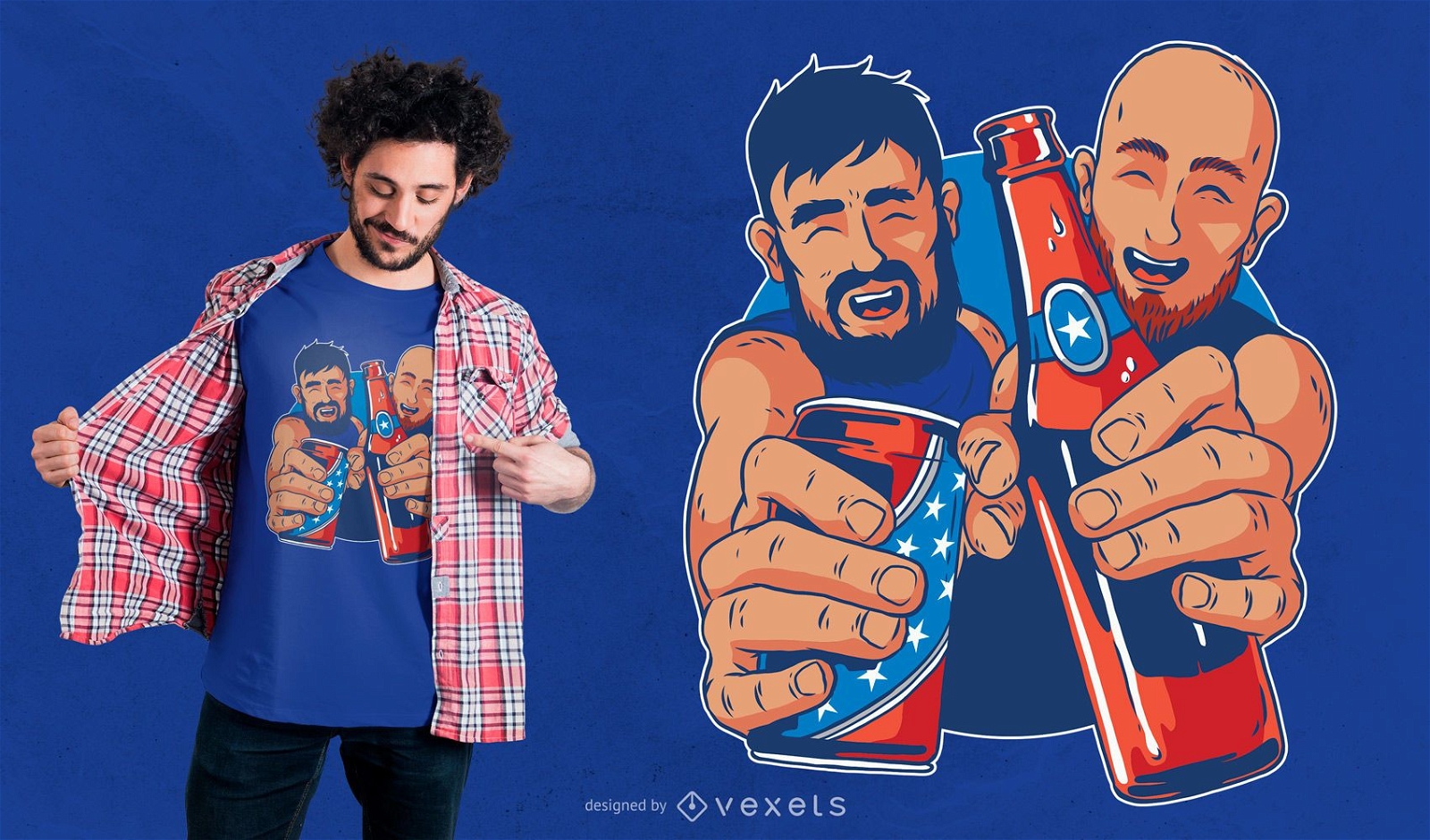
American Beer T-shirt Design
Choose a folder
All favorites
Create new
Save
American Beer T-shirt Design
Editable text
Print ready
for Merch
Girl with american bandana t-shirt design
Choose a folder
All favorites
Create new
Save
Girl with american bandana t-shirt design
Print ready
for Merch
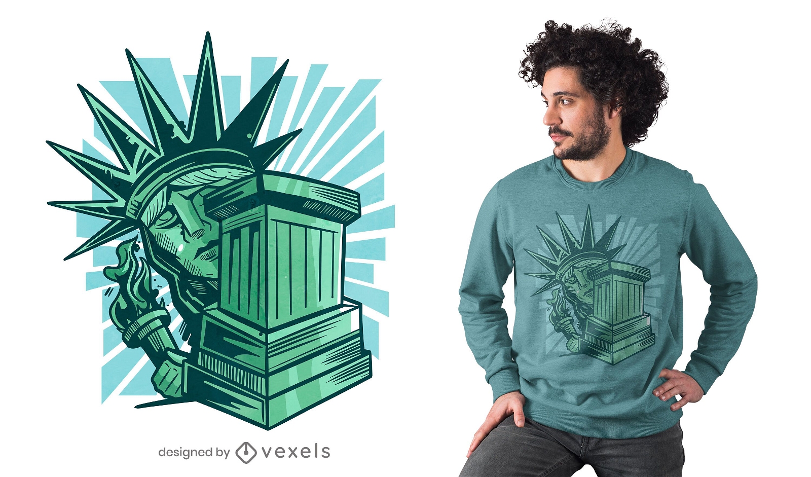
Scared statue of liberty t-shirt design
Choose a folder
All favorites
Create new
Save
Scared statue of liberty t-shirt design
Print ready
for Merch
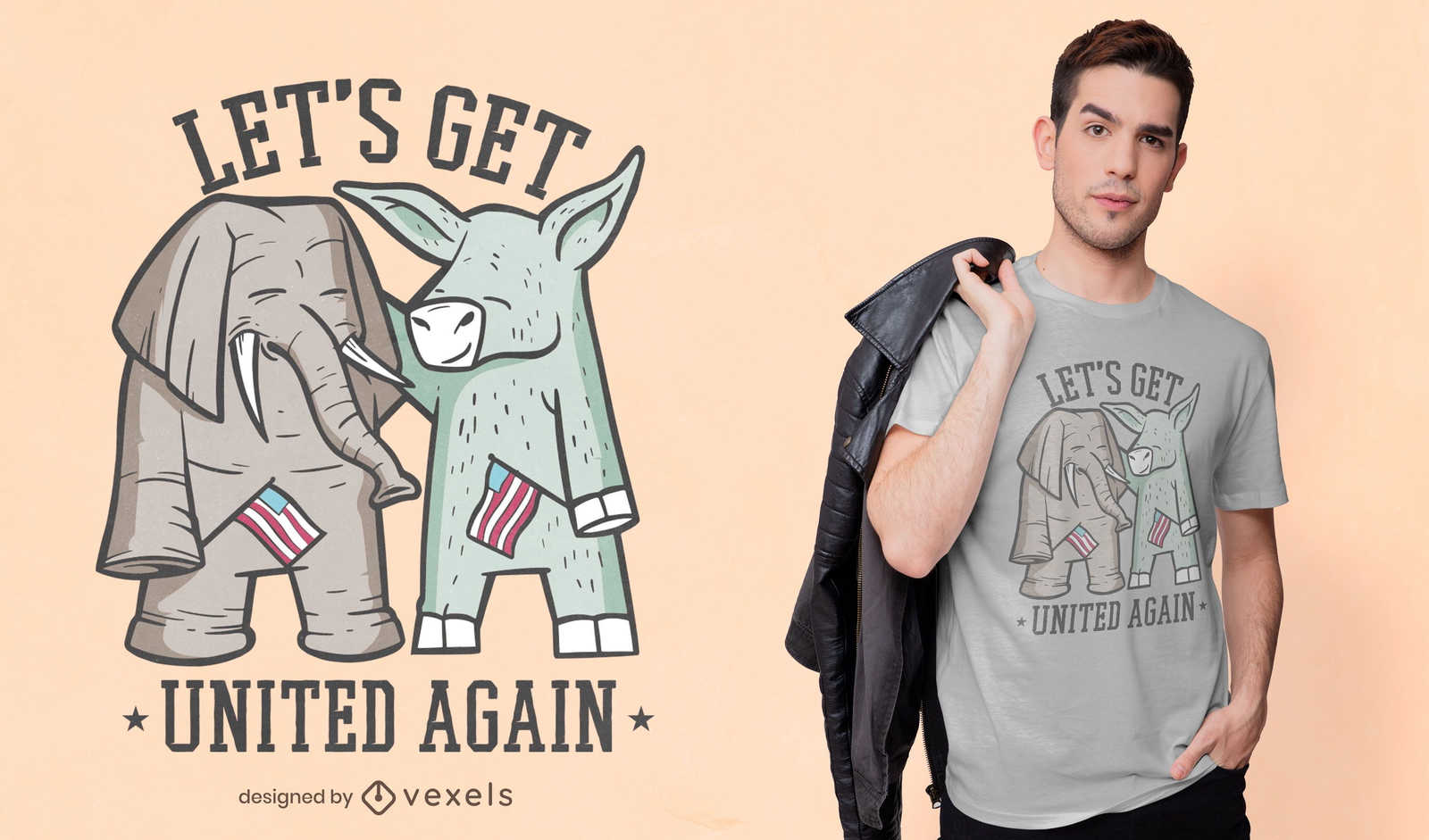
Elephant and donkey t-shirt design
Choose a folder
All favorites
Create new
Save
Elephant and donkey t-shirt design
Print ready
for Merch
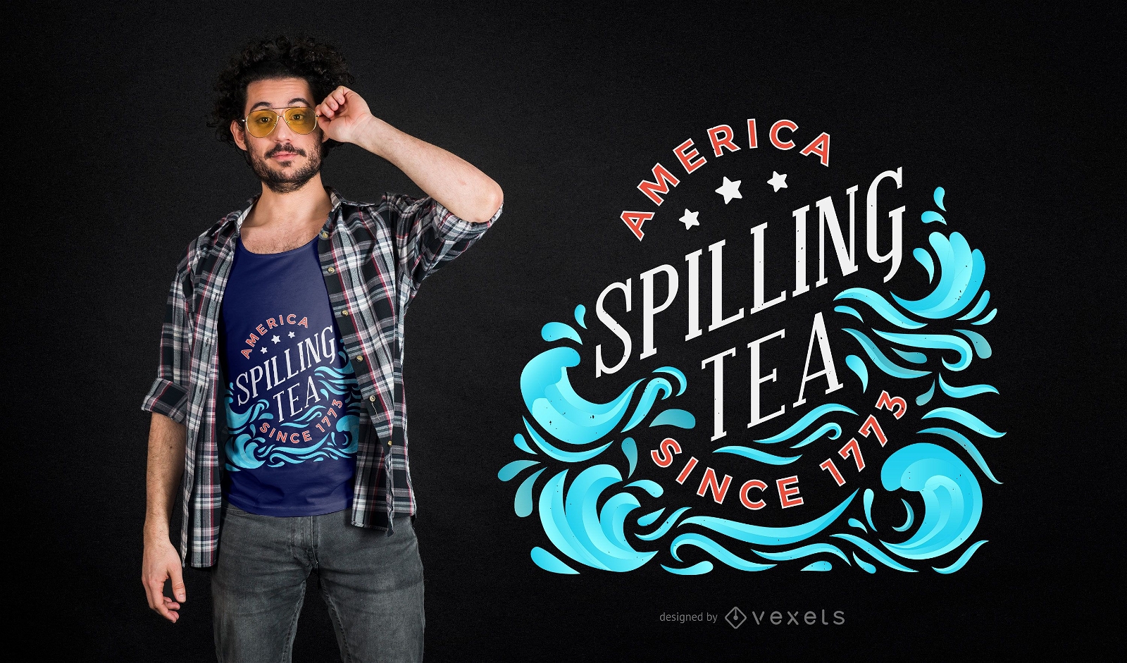
Spilling tea t-shirt design
Choose a folder
All favorites
Create new
Save
Spilling tea t-shirt design
Print ready
for Merch
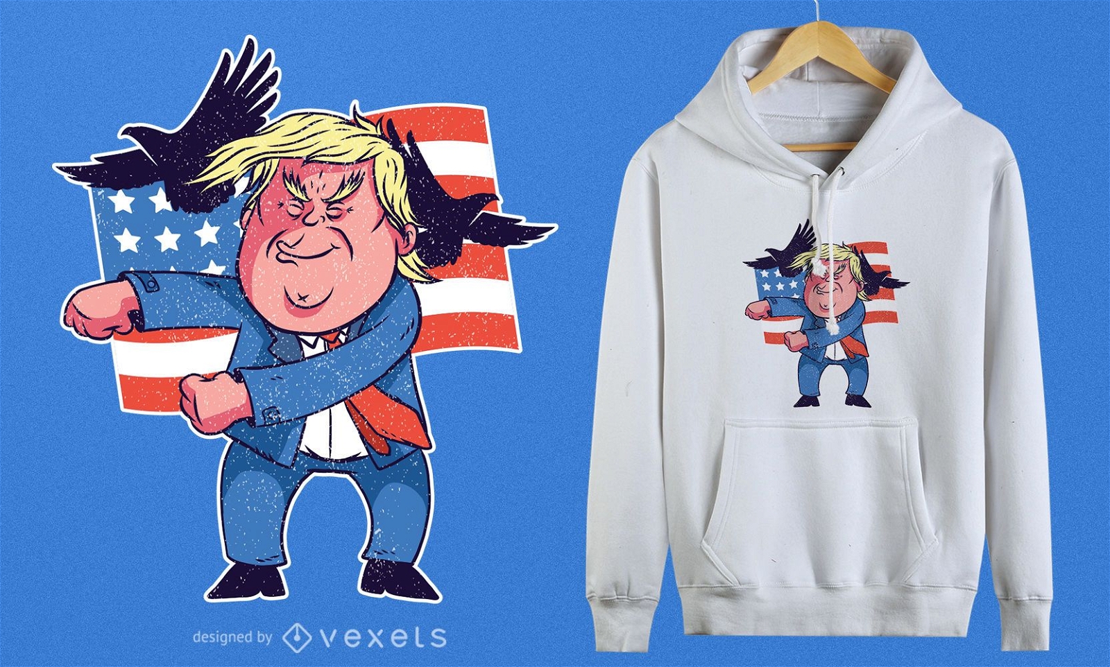
Dancing Trump T-Shirt Design
Choose a folder
All favorites
Create new
Save
Dancing Trump T-Shirt Design
Print ready
for Merch
Pelosi rat t-shirt design
Choose a folder
All favorites
Create new
Save
Pelosi rat t-shirt design
Print ready
for Merch
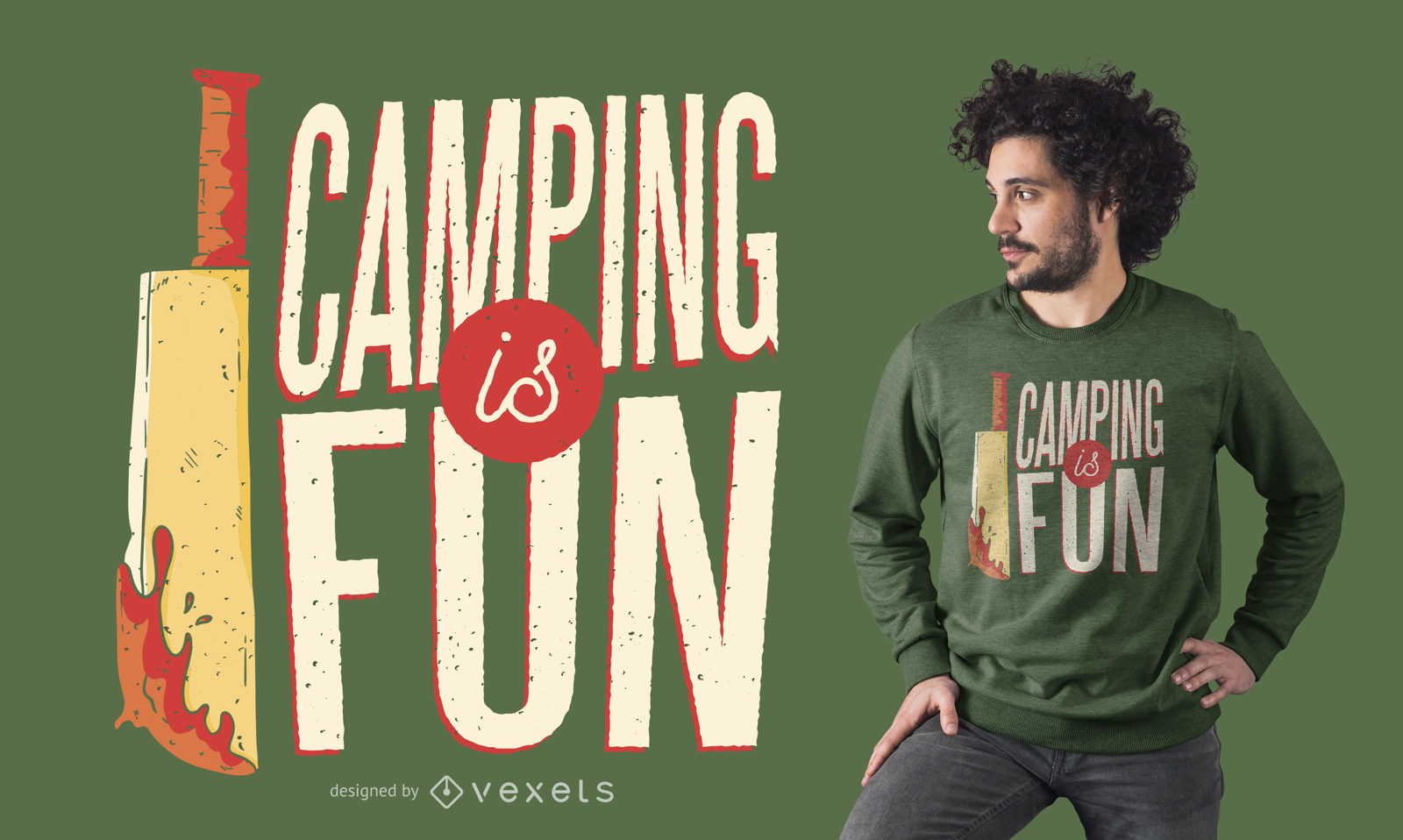
Camping Horror T-shirt Design
Choose a folder
All favorites
Create new
Save
Camping Horror T-shirt Design
Print ready
for Merch
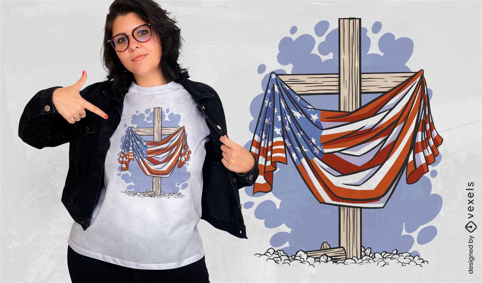
Wooden cross and USA flag t-shirt design
Choose a folder
All favorites
Create new
Save
Wooden cross and USA flag t-shirt design
Print ready
for Merch
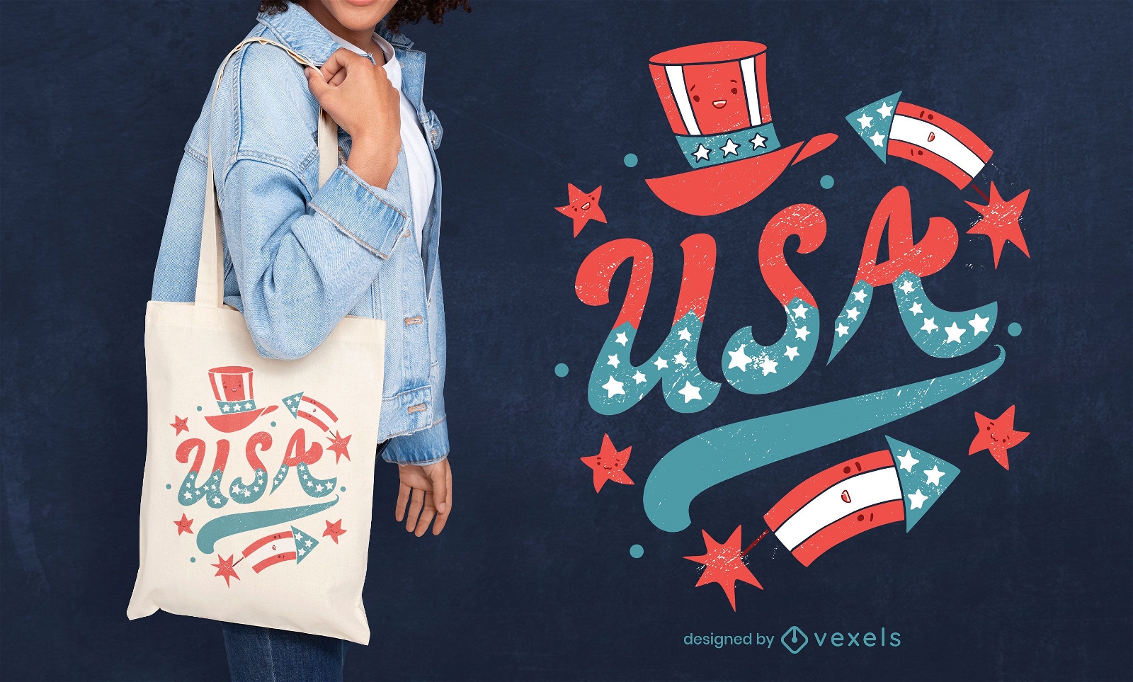
Usa tote bag design
Choose a folder
All favorites
Create new
Save
Usa tote bag design
Print ready
for Merch
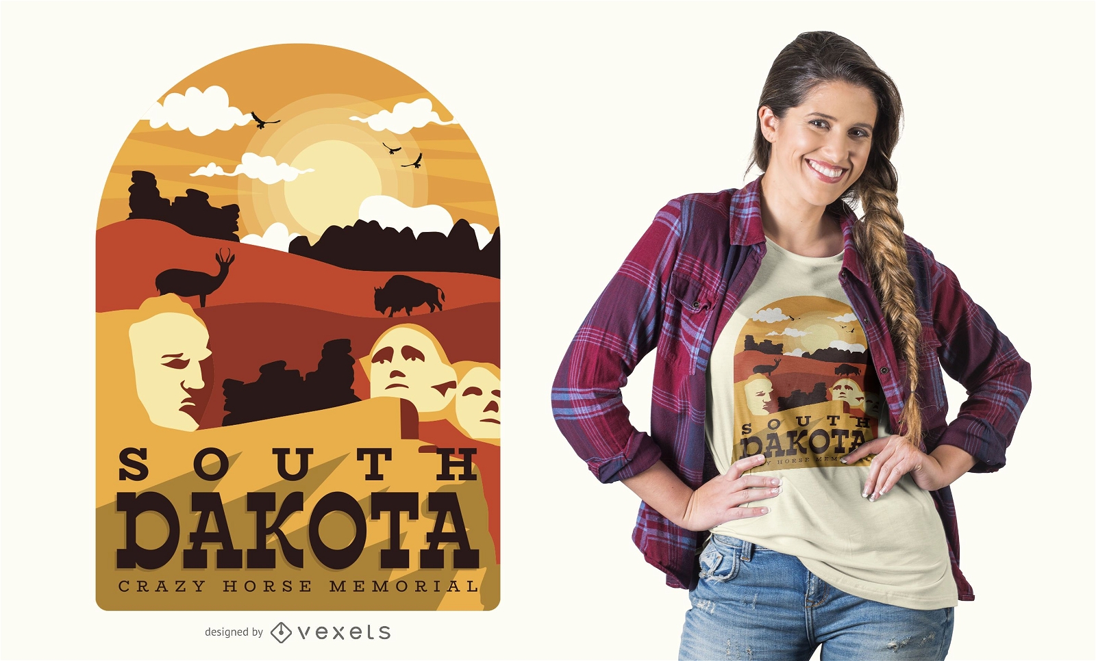
South Dakota t-shirt design
Choose a folder
All favorites
Create new
Save
South Dakota t-shirt design
Print ready
for Merch
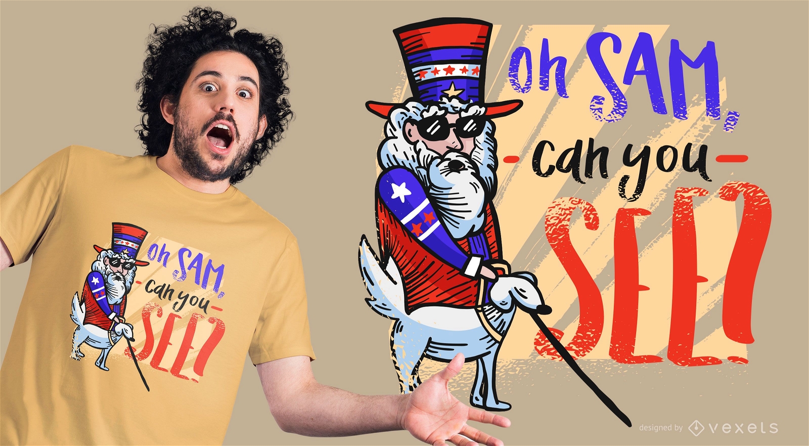
Funny Uncle Sam T-Shirt Design
Choose a folder
All favorites
Create new
Save
Funny Uncle Sam T-Shirt Design
Print ready
for Merch
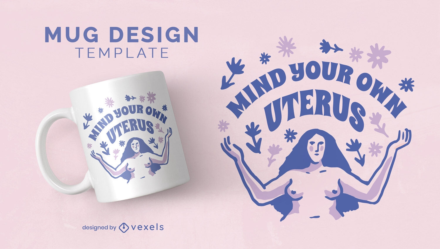
Female reproductive rights mug design
Choose a folder
All favorites
Create new
Save
Female reproductive rights mug design
Print ready
for Merch
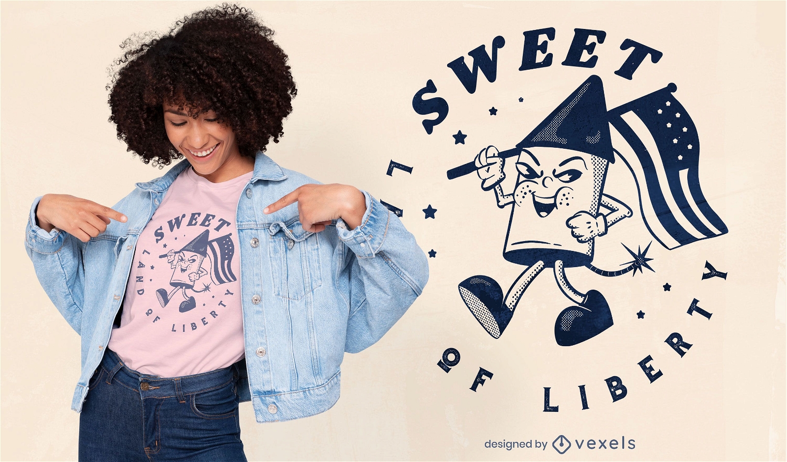
Land of liberty t-shirt design
Choose a folder
All favorites
Create new
Save
Land of liberty t-shirt design
for Merch
US Natural Resources Logo T-shirt Design
Choose a folder
All favorites
Create new
Save
US Natural Resources Logo T-shirt Design
Editable text
Print ready
for Merch
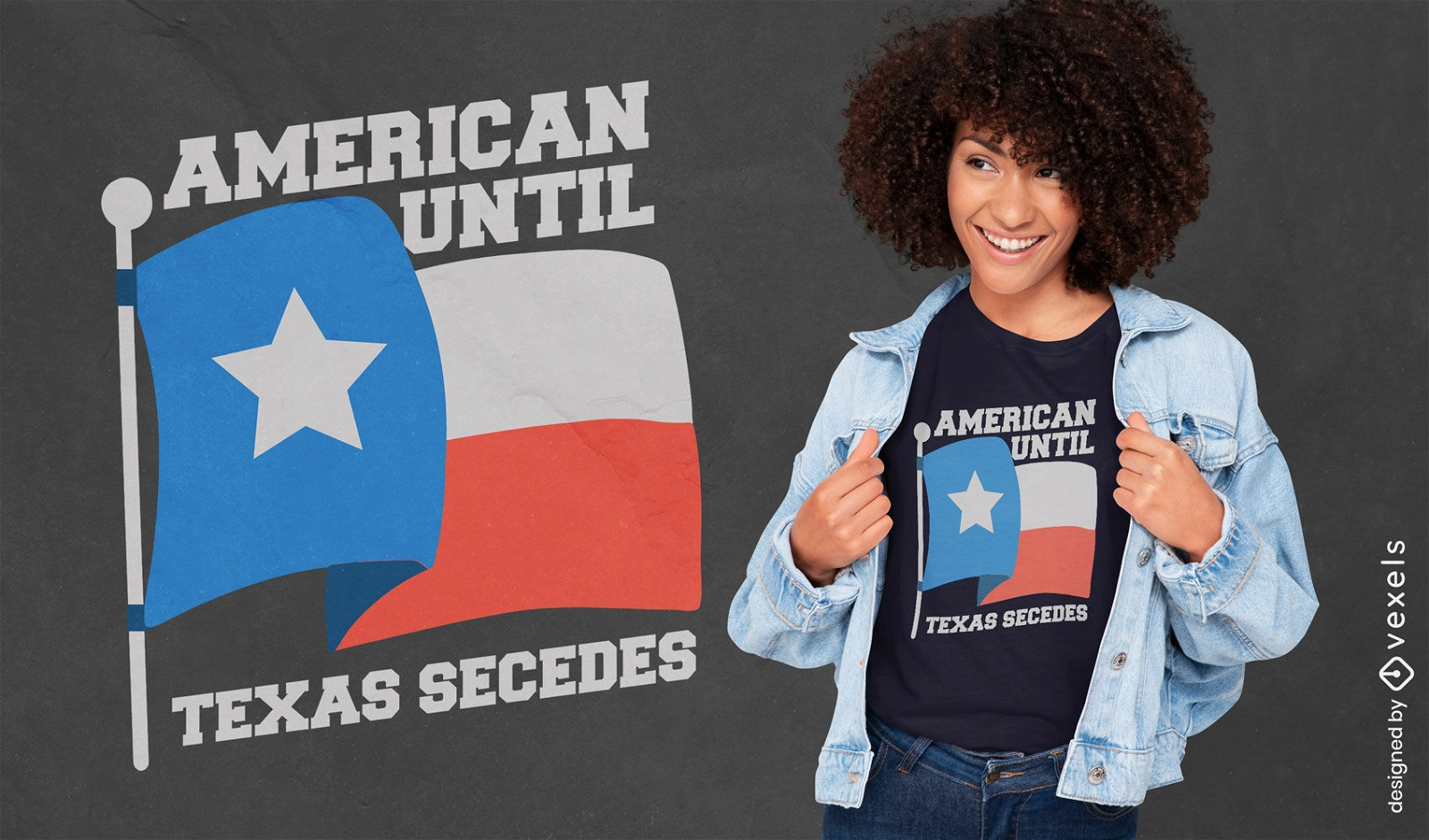
American until Texas secedes patriotic t-shirt design
Choose a folder
All favorites
Create new
Save
American until Texas secedes patriotic t-shirt design
Editable text
Print ready
for Merch
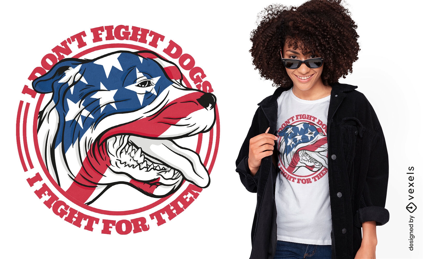
Dog animal with USA flag t-shirt design
Choose a folder
All favorites
Create new
Save
Dog animal with USA flag t-shirt design
Print ready
for Merch
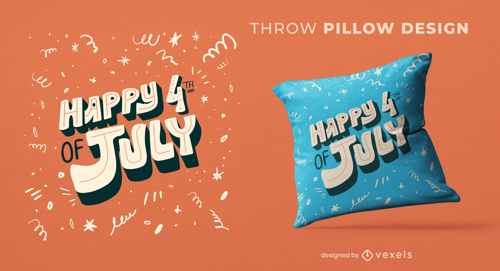
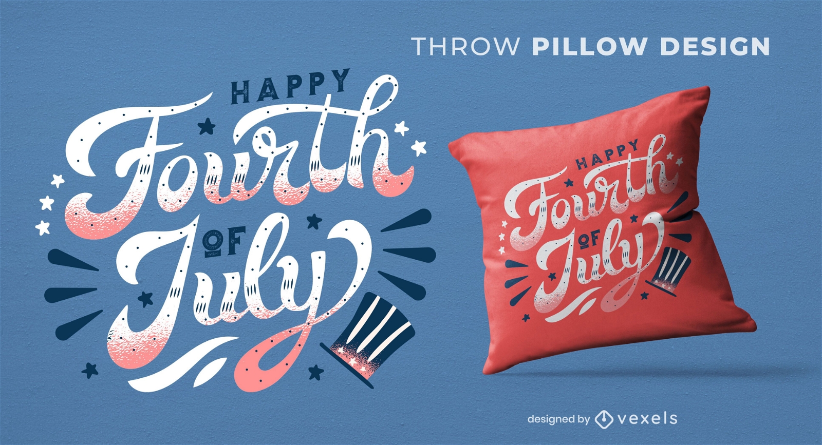
4th of july throw pillow design
Choose a folder
All favorites
Create new
Save
4th of july throw pillow design
Editable text
Print ready
for Merch
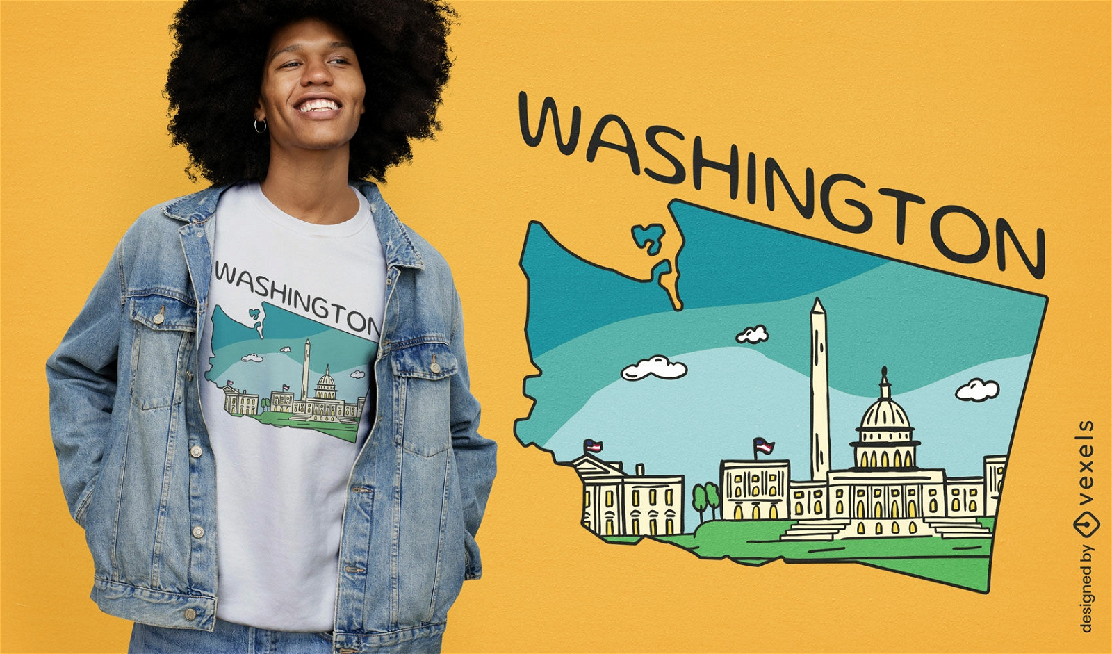
Washington dc t-shirt design
Choose a folder
All favorites
Create new
Save
Washington dc t-shirt design
Editable text
Print ready
for Merch
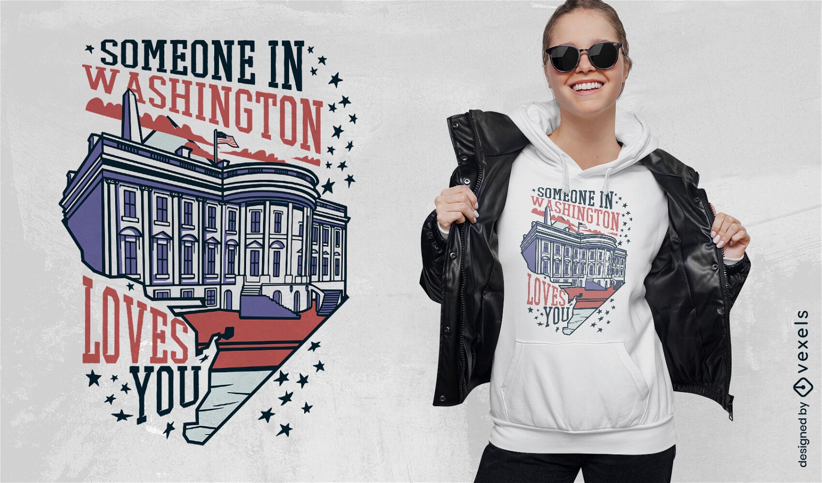
Washington love t-shirt design
Choose a folder
All favorites
Create new
Save
Washington love t-shirt design
Print ready
for Merch
Fourth of july quote throw pillow design
Choose a folder
All favorites
Create new
Save
Fourth of july quote throw pillow design
Editable text
Print ready
for Merch
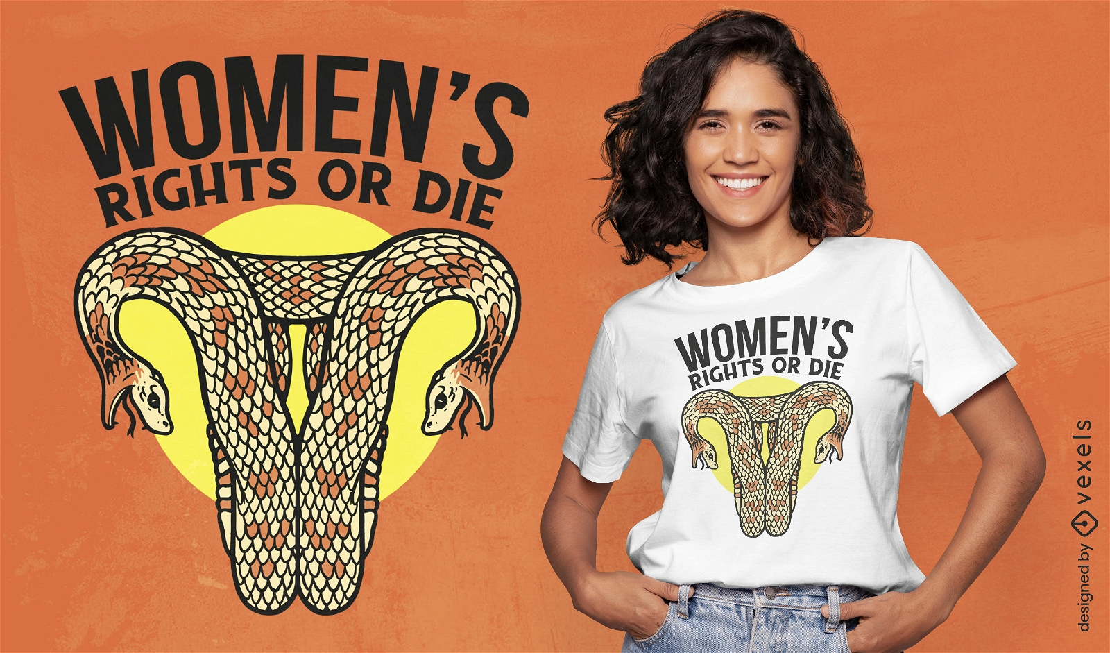
Snake shaped uterus female rights t-shirt design
Choose a folder
All favorites
Create new
Save
Snake shaped uterus female rights t-shirt design
Editable text
Print ready
for Merch
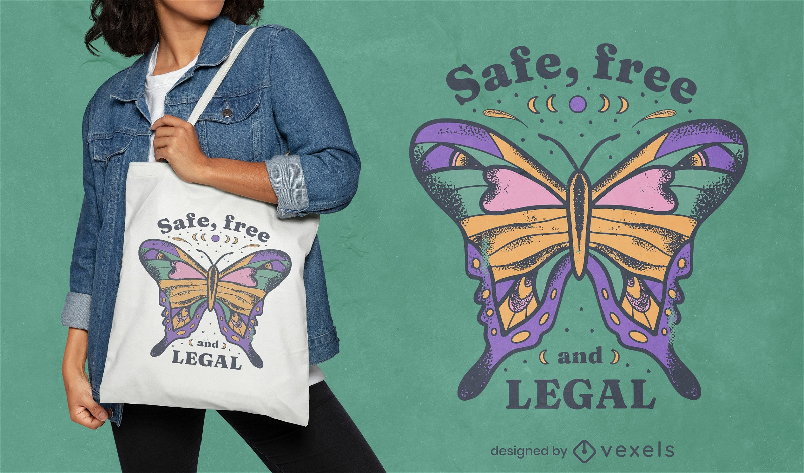
Safe free and legal abortion tote bag design
Choose a folder
All favorites
Create new
Save
Safe free and legal abortion tote bag design
Print ready
for Merch
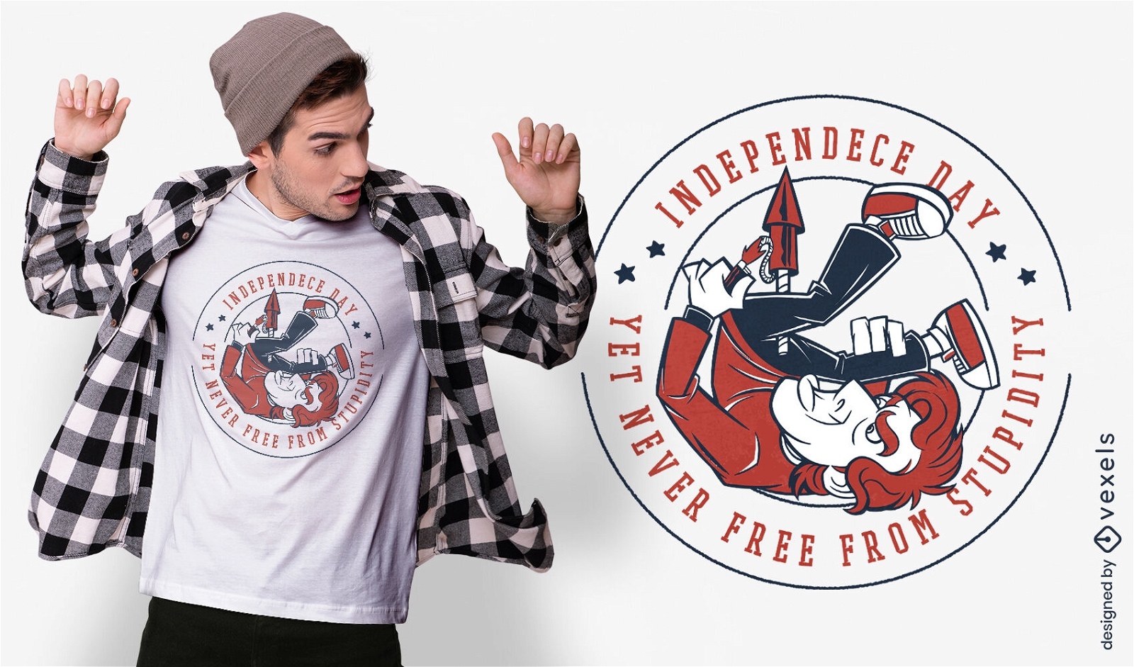
Independence day funny t-shirt design
Choose a folder
All favorites
Create new
Save
Independence day funny t-shirt design
Print ready
for Merch
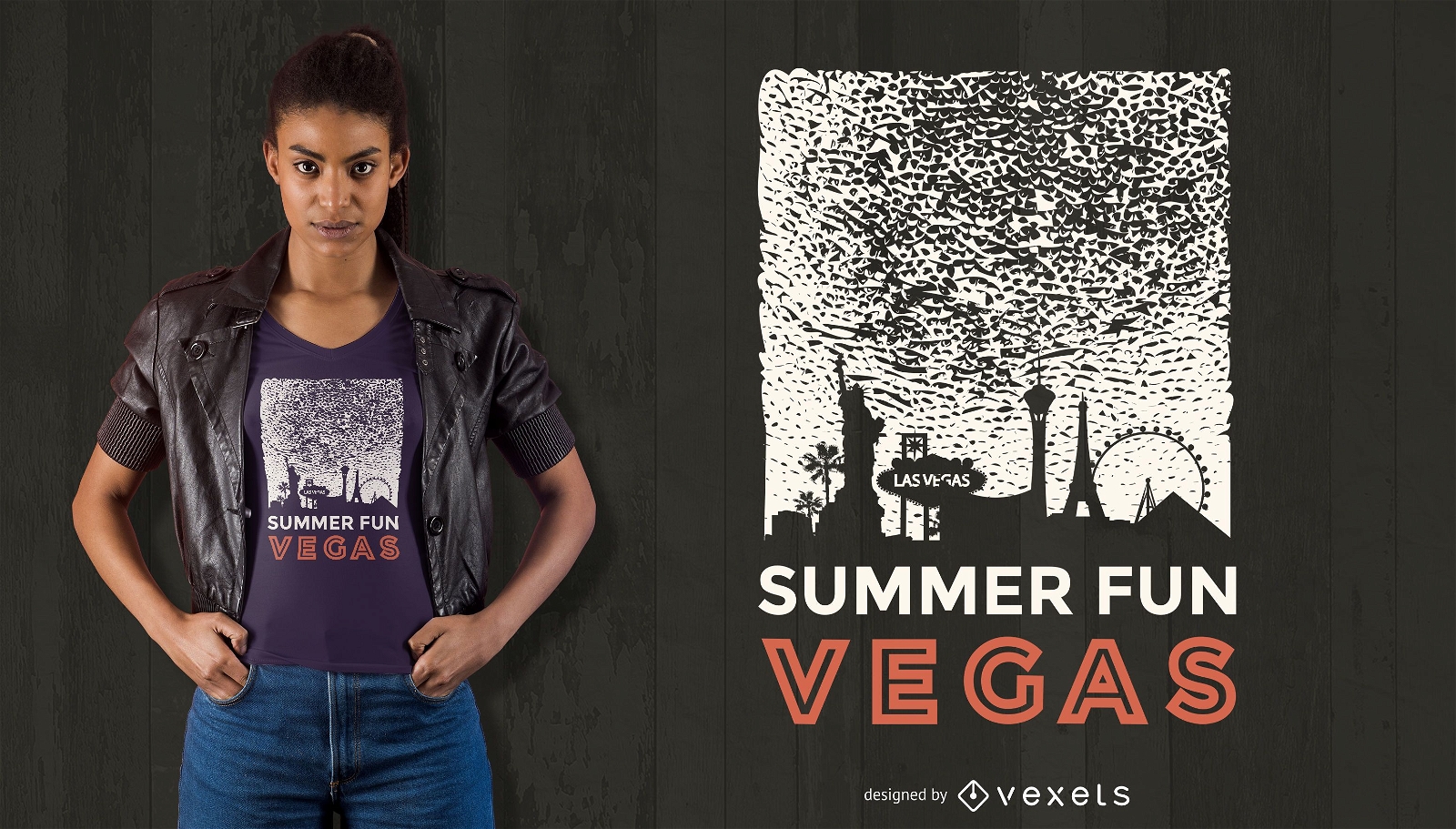
Summer fun vegas t-shirt design
Choose a folder
All favorites
Create new
Save
Summer fun vegas t-shirt design
Print ready
for Merch
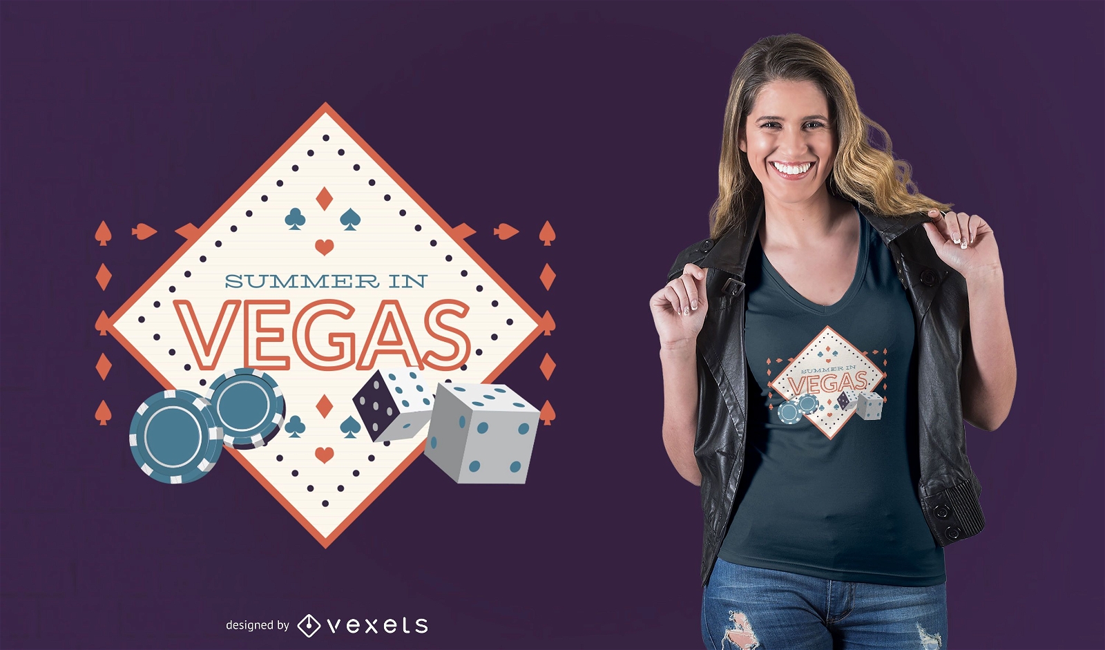
Summer in vegas t-shirt design
Choose a folder
All favorites
Create new
Save
Summer in vegas t-shirt design
Print ready
for Merch
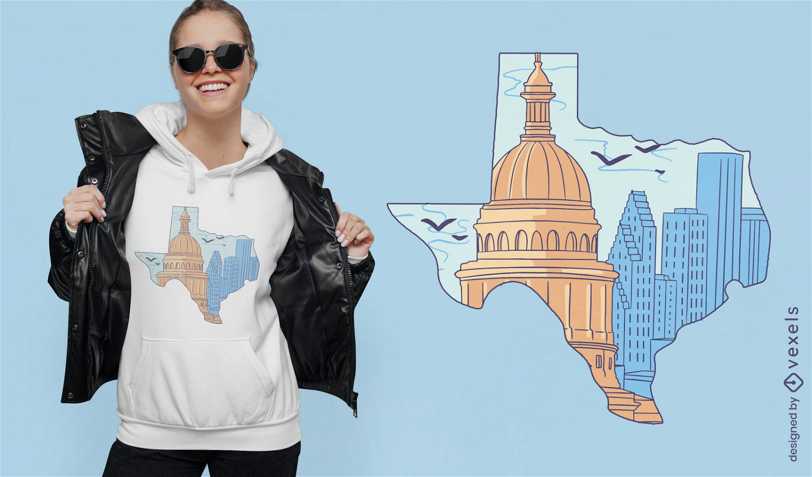
Texas silhouette with buildings t-shirt design
Choose a folder
All favorites
Create new
Save
Texas silhouette with buildings t-shirt design
Print ready
for Merch
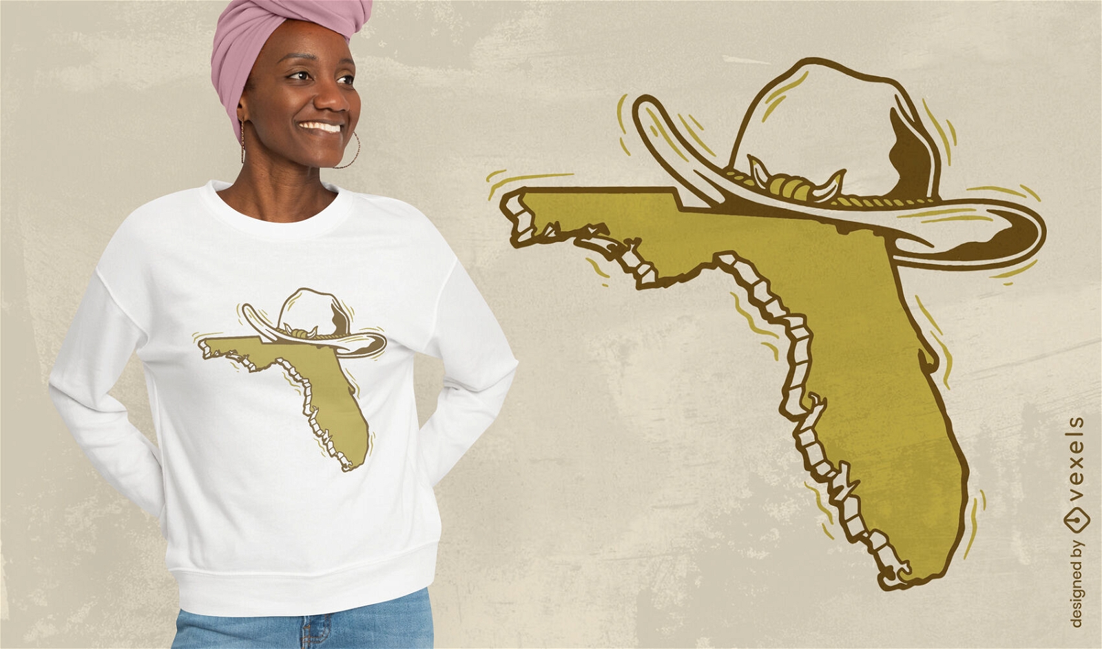
Florida map with hat t-shirt design
Choose a folder
All favorites
Create new
Save
Florida map with hat t-shirt design
Editable text
Print ready
for Merch
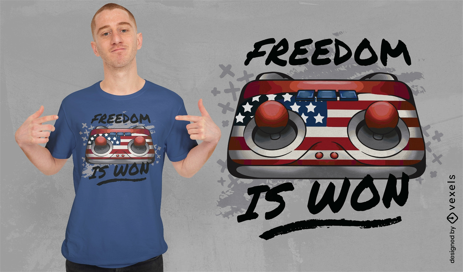
American gaming joystick t-shirt design
Choose a folder
All favorites
Create new
Save
American gaming joystick t-shirt design
Print ready
for Merch
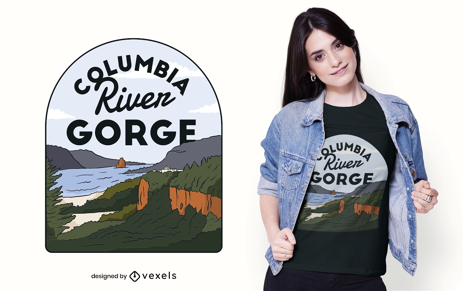
Columbia River Gorge t-shirt design
Choose a folder
All favorites
Create new
Save
Columbia River Gorge t-shirt design
Print ready
for Merch
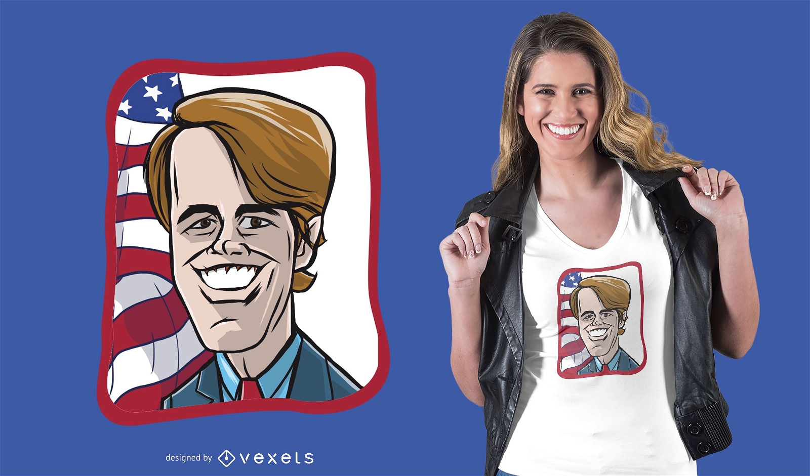
Beto O Rourke Cartoon T-shirt Design
Choose a folder
All favorites
Create new
Save
Beto O Rourke Cartoon T-shirt Design
Editable text
Print ready
for Merch
Choose freedom republicans mug design
Choose a folder
All favorites
Create new
Save
Choose freedom republicans mug design
Print ready
for Merch
Inauguration Day t-shirt design
Choose a folder
All favorites
Create new
Save
Inauguration Day t-shirt design
Print ready
for Merch
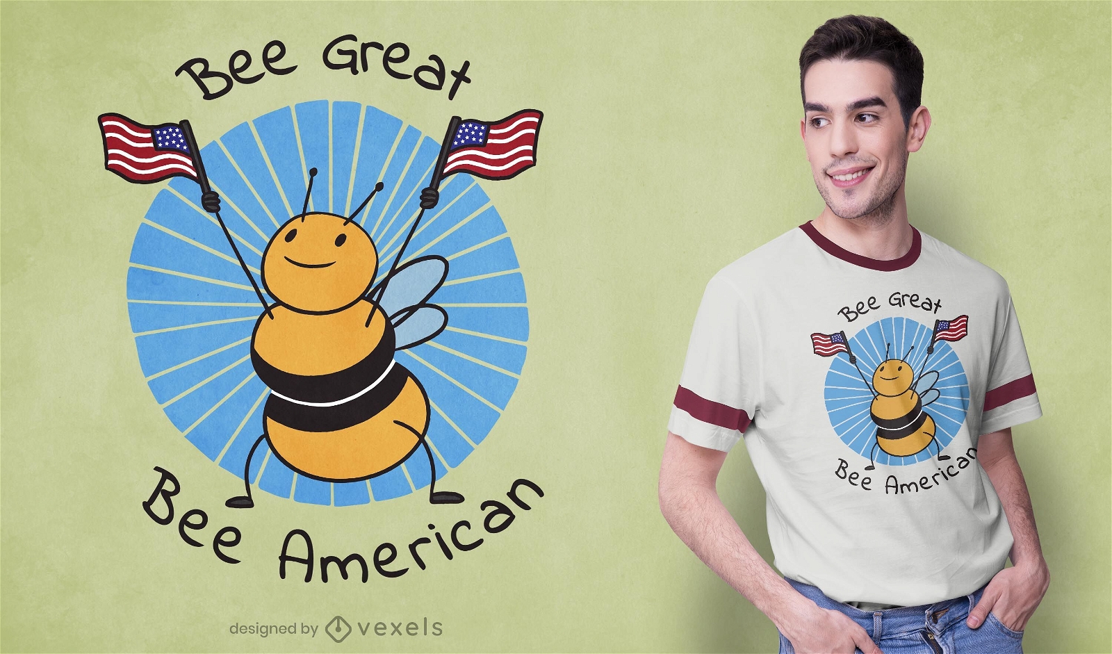
Bee American t-shirt design
Choose a folder
All favorites
Create new
Save
Bee American t-shirt design
Editable text
Print ready
for Merch
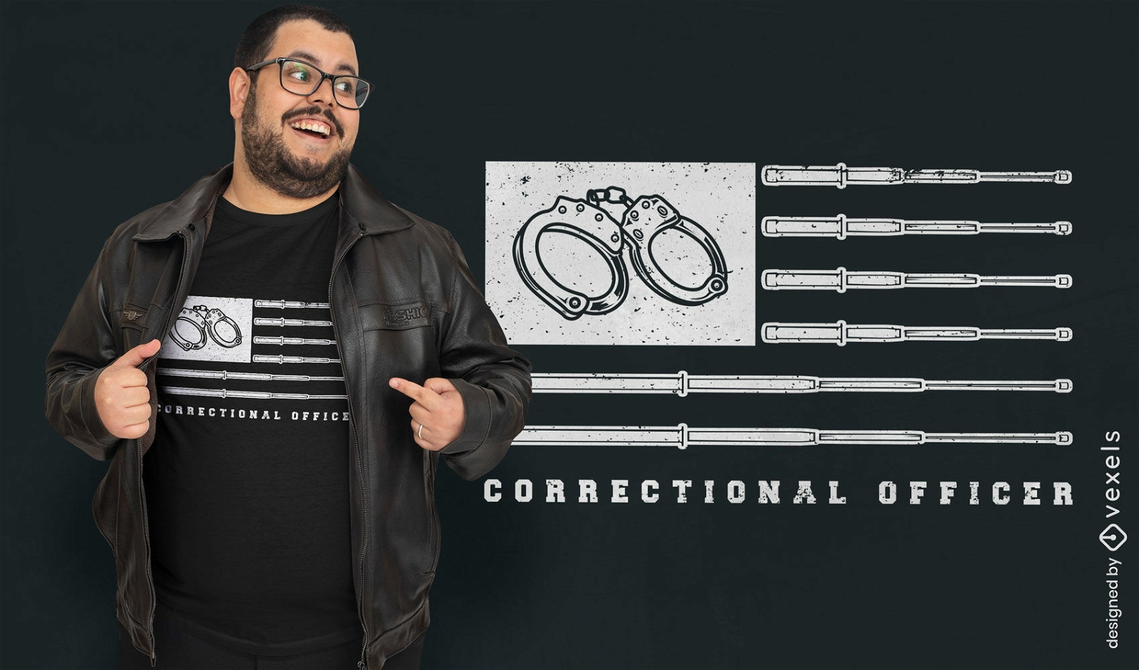
USA Flag correctional officer t-shirt design
Choose a folder
All favorites
Create new
Save
USA Flag correctional officer t-shirt design
Editable text
Print ready
for Merch
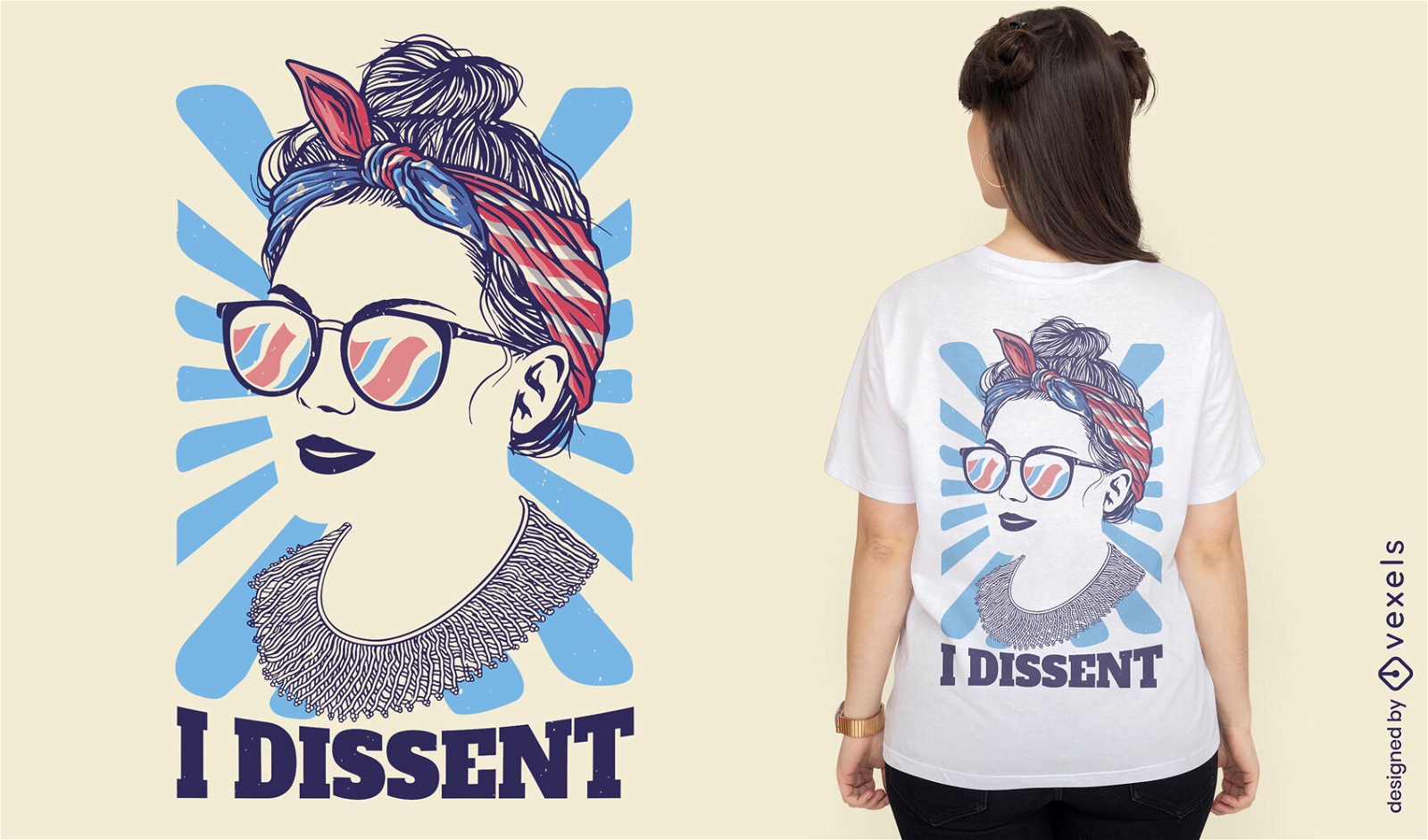
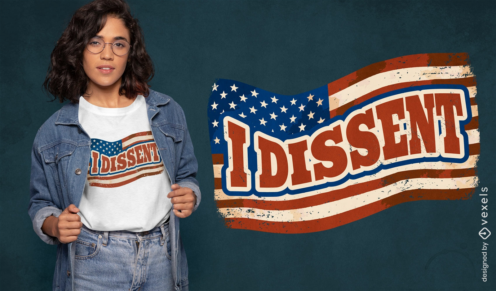
USA flag I dissent t-shirt design
Choose a folder
All favorites
Create new
Save
USA flag I dissent t-shirt design
Editable text
Print ready
for Merch
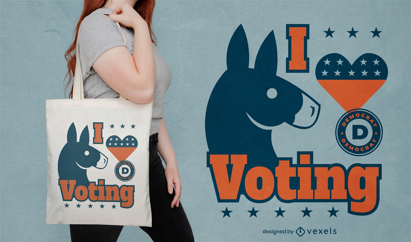
I love voting Democrats tote bag design
Choose a folder
All favorites
Create new
Save
I love voting Democrats tote bag design
Print ready
for Merch
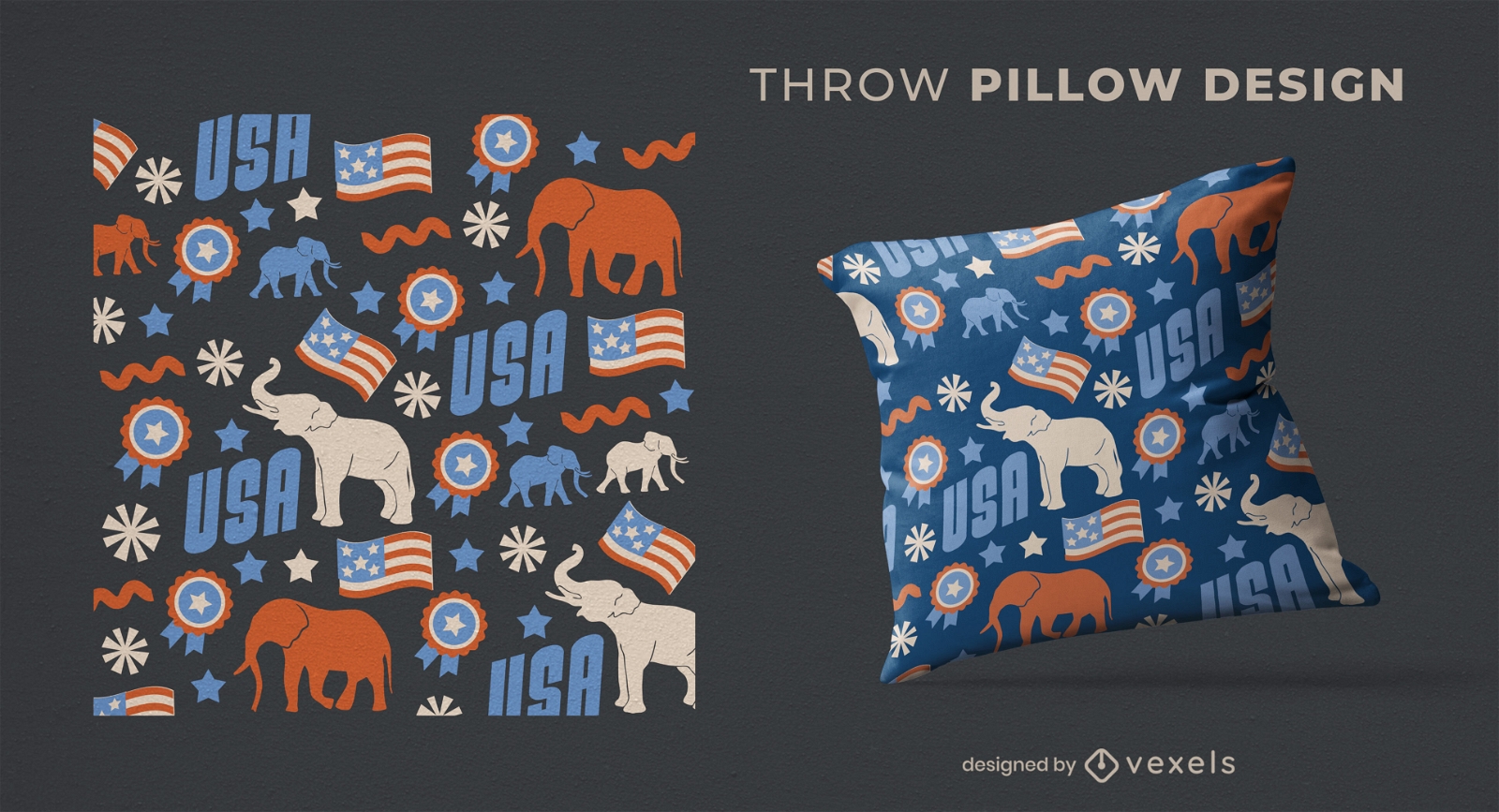
USA Republican elephants throw pillow design
Choose a folder
All favorites
Create new
Save
USA Republican elephants throw pillow design
Print ready
for Merch
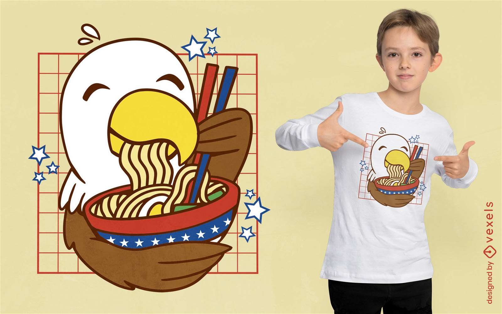
Kawaii eagle ramen t-shirt design
Choose a folder
All favorites
Create new
Save
Kawaii eagle ramen t-shirt design
Print ready
for Merch
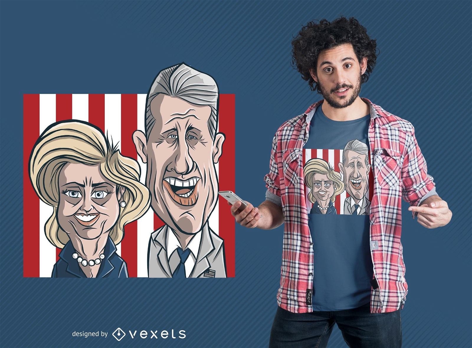
Clinton Couple Cartoon T-Shirt Design
Choose a folder
All favorites
Create new
Save
Clinton Couple Cartoon T-Shirt Design
Print ready
for Merch
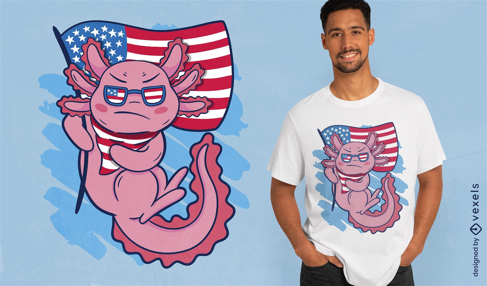
Axolotl and american flag t-shirt design
Choose a folder
All favorites
Create new
Save
Axolotl and american flag t-shirt design
Print ready
for Merch
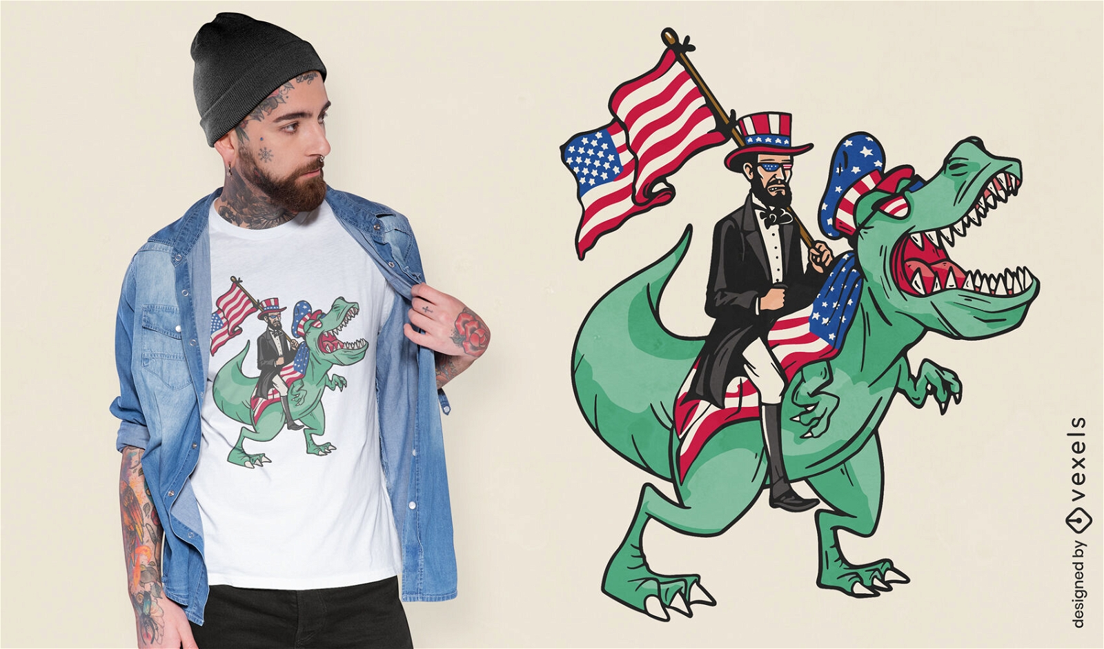
Lincoln riding a t-rex t-shirt design
Choose a folder
All favorites
Create new
Save
Lincoln riding a t-rex t-shirt design
Print ready
for Merch
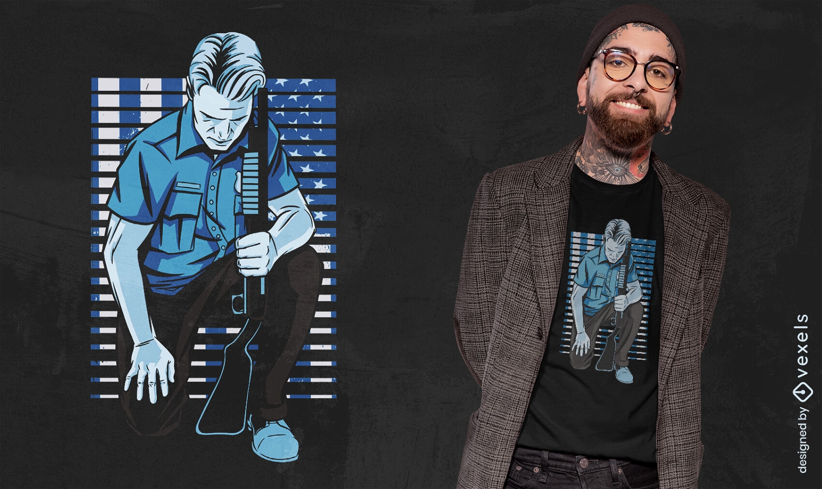
Policeman kneeling t-shirt design
Choose a folder
All favorites
Create new
Save
Policeman kneeling t-shirt design
Print ready
for Merch
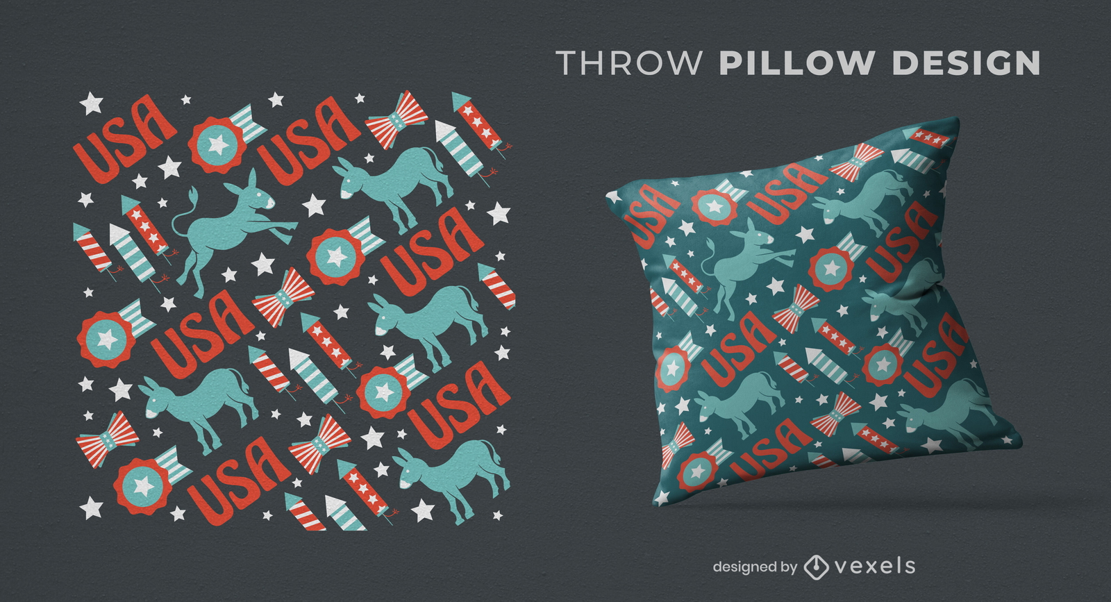
USA democrats pattern throw pillow design
Choose a folder
All favorites
Create new
Save
USA democrats pattern throw pillow design
Editable text
Print ready
for Merch
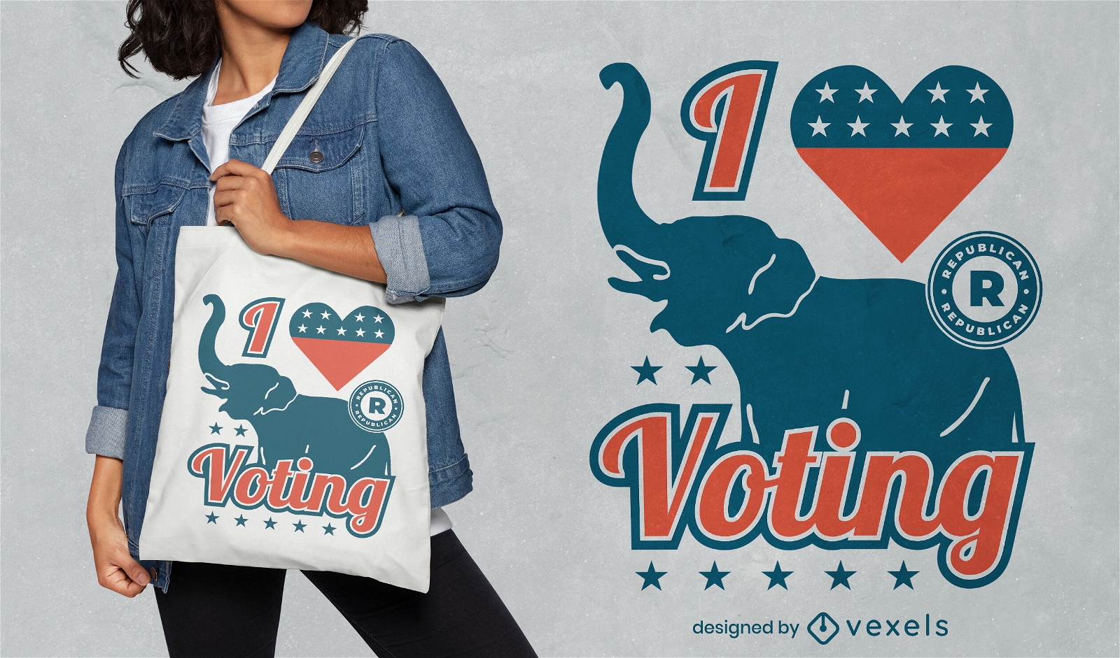
I love voting Republicans tote bag design
Choose a folder
All favorites
Create new
Save
I love voting Republicans tote bag design
Print ready
for Merch
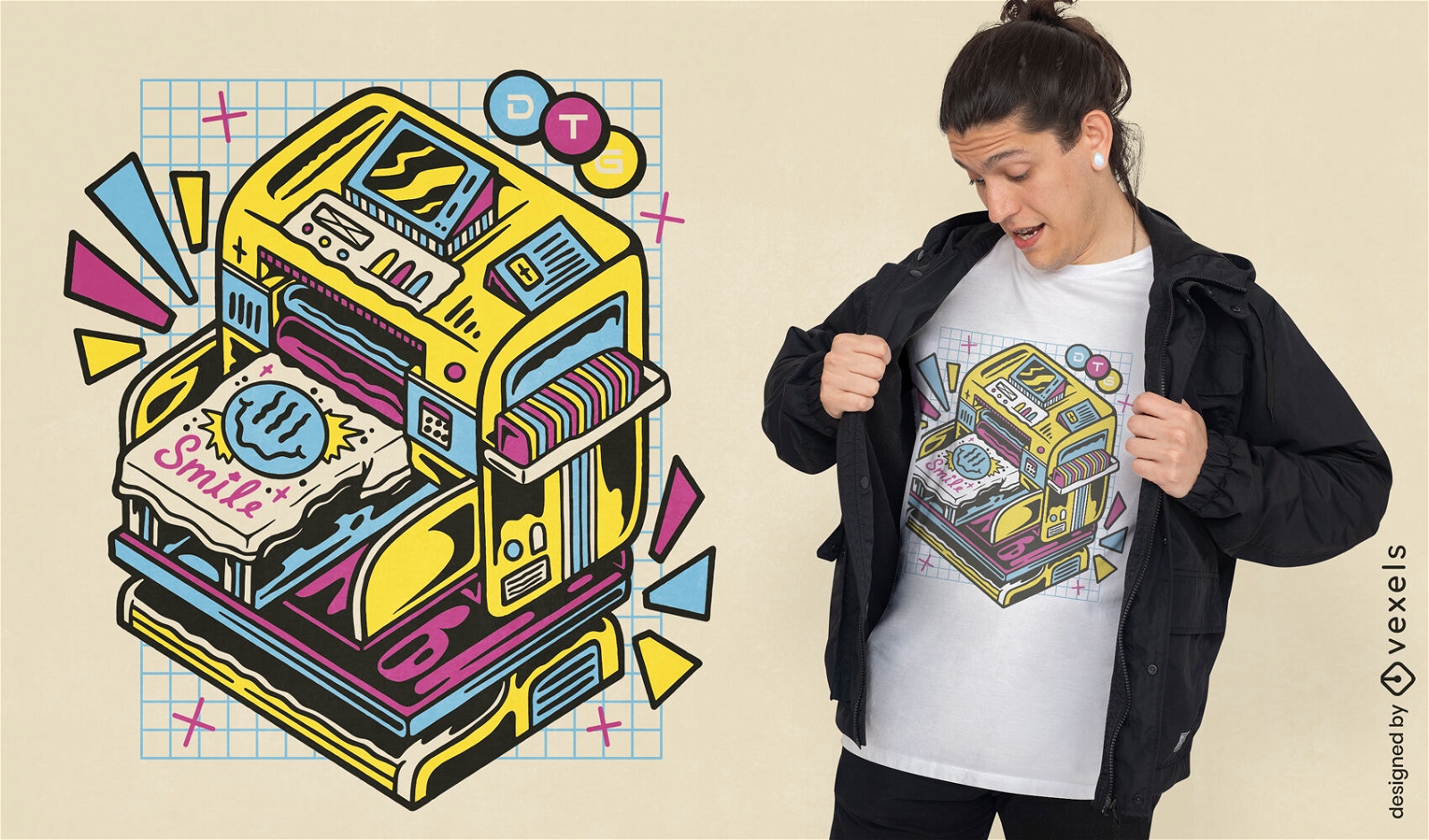
DTG printer machine t-shirt design
Choose a folder
All favorites
Create new
Save
DTG printer machine t-shirt design
Print ready
for Merch
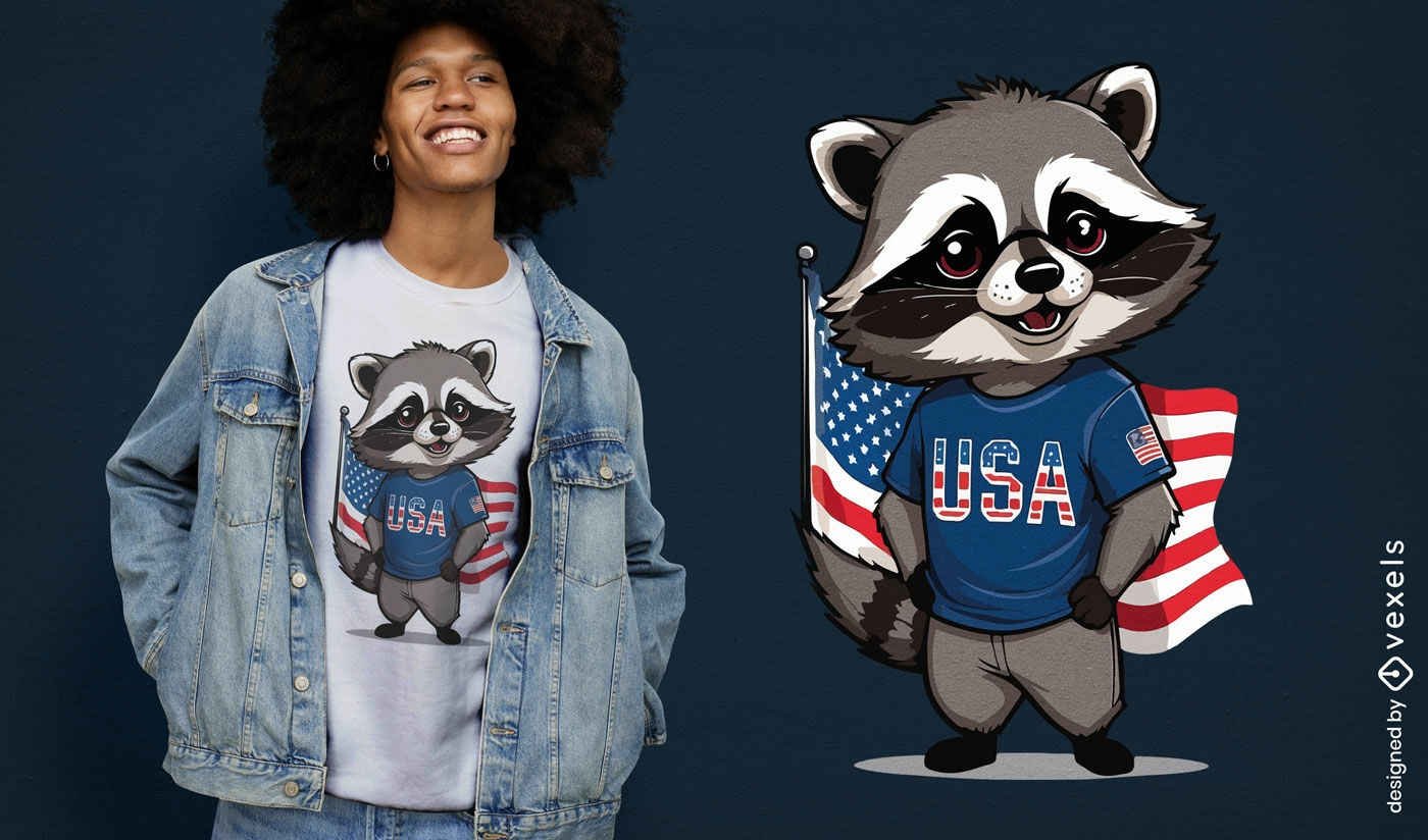
Patriotic raccoon t-shirt design
Choose a folder
All favorites
Create new
Save
Patriotic raccoon t-shirt design
Print ready
for Merch
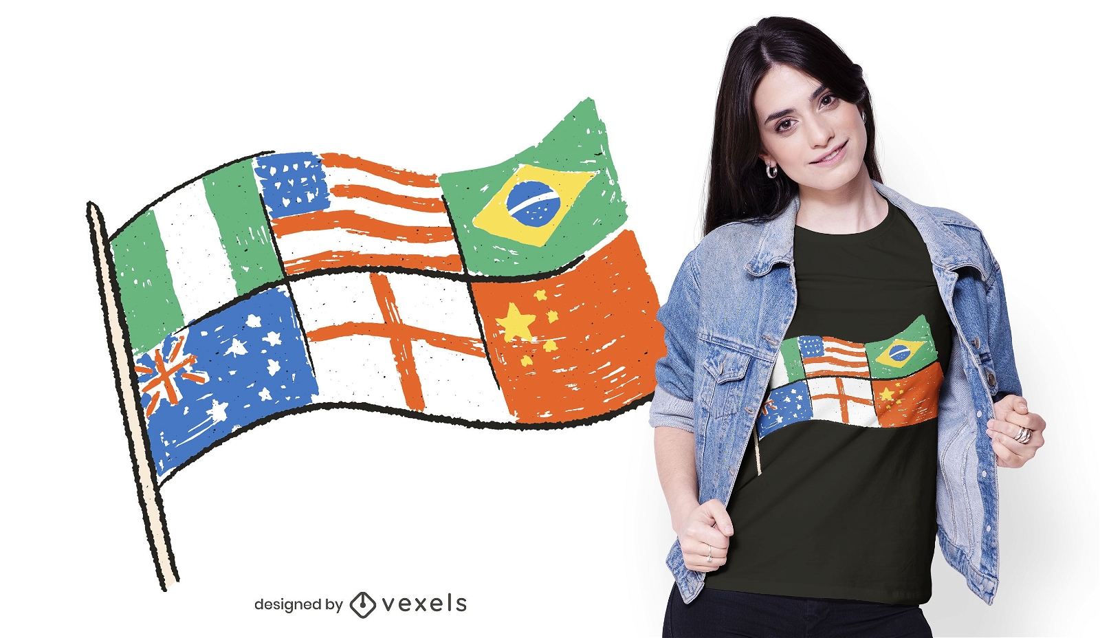
Multiflag t-shirt design
Choose a folder
All favorites
Create new
Save
Multiflag t-shirt design
Print ready
for Merch
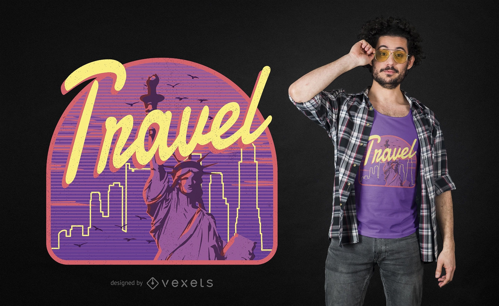
Travel New York Design
Choose a folder
All favorites
Create new
Save
Travel New York Design
Print ready
for Merch
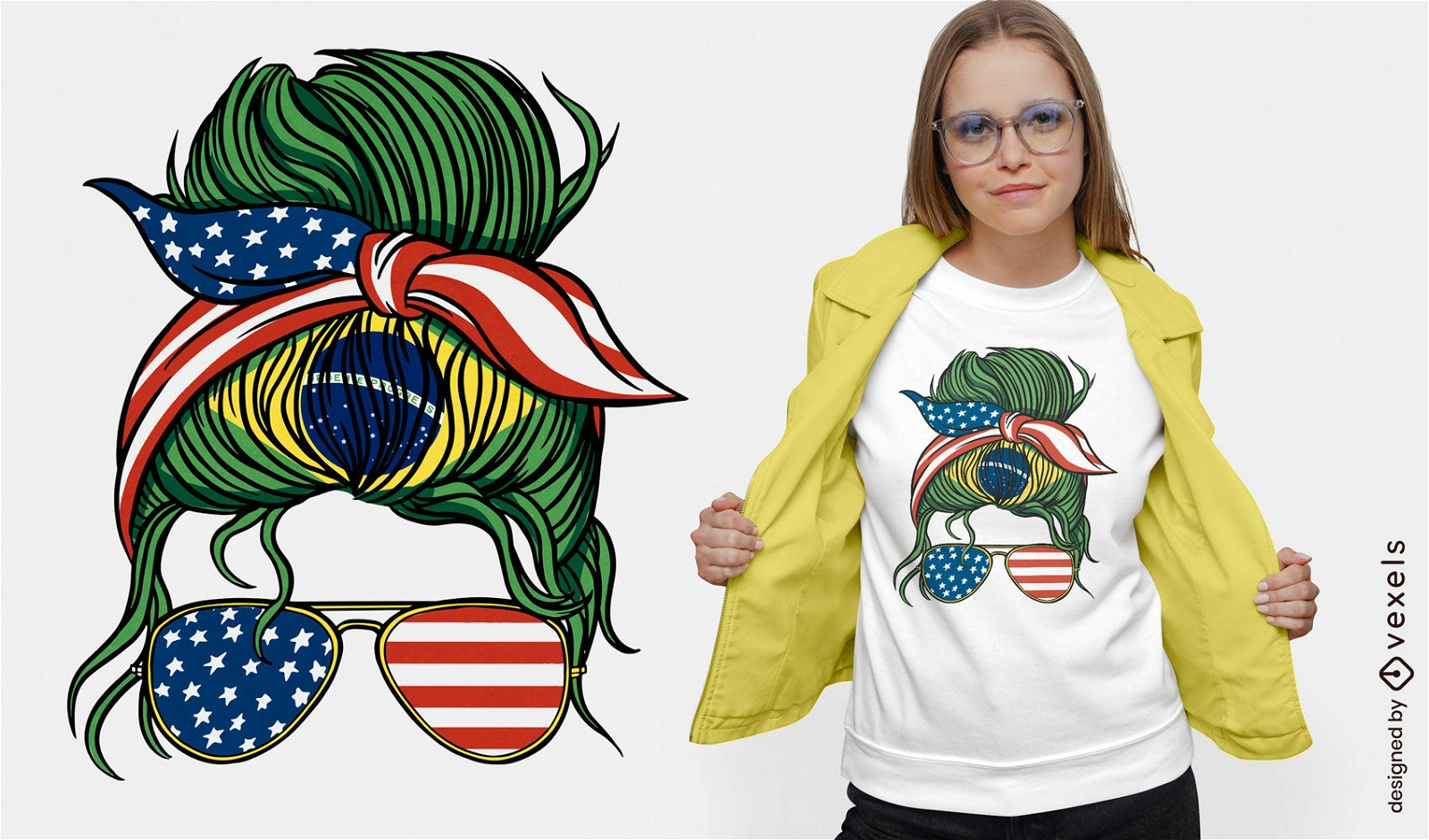
Brazil and USA bandana t-shirt design
Choose a folder
All favorites
Create new
Save
Brazil and USA bandana t-shirt design
Boost Your Business
With The Leading Graphic Platform For Merch.
SEE PLANS
Next
of 29
prev page
next page