Design Library
New Merch Designs
T-Shirts
Vectors
Trending Merch Designs
PNGs & SVGs
Mockups
T-Shirt PSD Templates
Explore Designs
KDP Designs
Posters
Mugs
Phone Cases
Tote Bags
Pillows
Design Tools
Merch Designer
New!
Mockup Generator
AI Design Generator
Image Vectorizer
Quote Generator
T-Shirt Maker (Old)
Resources
Merch Digest
Blog
Help Center
Learn About Merch
Feedback
Corporate Solutions
Enterprise
API Access
Design Studio
Bulk Design Production
Pricing
Loading...
Sign Up
Login
PNGs For Merch
country
map
Design Library
New Merch Designs
T-Shirts
Vectors
Trending Merch Designs
PNGs & SVGs
Mockups
T-Shirt PSD Templates
Explore Designs
KDP Designs
Posters
Mugs
Phone Cases
Tote Bags
Pillows
Design Tools
Merch Designer
New!
Mockup Generator
AI Design Generator
Image Vectorizer
Quote Generator
T-Shirt Maker (Old)
Resources
Merch Digest
Blog
Help Center
Learn About Merch
Feedback
Corporate Solutions
Enterprise
API Access
Design Studio
Bulk Design Production
PLANS
PNGs For Merch
country
map
876 country map PNG and SVG design graphic
Download country map PNG & SVG Designs with transparent background for T-Shirts, book covers, phone cases and other merch.
Related:
country maps
Sort by
Most relevant
Sponsored results by
Get 15% off with code: VEXELS15
Show more
Indiana map mandala PNG Design
Choose a folder
All favorites
Create new
Save
Indiana map mandala PNG Design
Kansas map mandala PNG Design
Choose a folder
All favorites
Create new
Save
Kansas map mandala PNG Design
Kentucky map mandala PNG Design
Choose a folder
All favorites
Create new
Save
Kentucky map mandala PNG Design
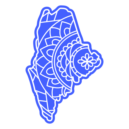
Maine map mandala PNG Design
Choose a folder
All favorites
Create new
Save
Maine map mandala PNG Design
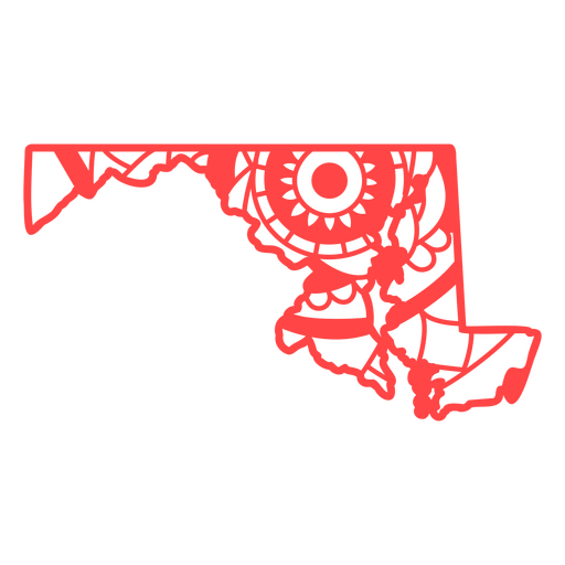
Maryland map mandala PNG Design
Choose a folder
All favorites
Create new
Save
Maryland map mandala PNG Design
Michigan map mandala PNG Design
Choose a folder
All favorites
Create new
Save
Michigan map mandala PNG Design
Minnesota map mandala PNG Design
Choose a folder
All favorites
Create new
Save
Minnesota map mandala PNG Design
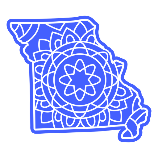
Missouri map mandala PNG Design
Choose a folder
All favorites
Create new
Save
Missouri map mandala PNG Design
Premium
Silhouette of france map design PNG Design
Choose a folder
All favorites
Create new
Save
Silhouette of france map design PNG Design
Premium
Stylized silhouette map of switzerland PNG Design
Choose a folder
All favorites
Create new
Save
Stylized silhouette map of switzerland PNG Design
Mississipi usa map silhouette PNG Design
Choose a folder
All favorites
Create new
Save
Mississipi usa map silhouette PNG Design
Missouri state mandala map element PNG Design
Choose a folder
All favorites
Create new
Save
Missouri state mandala map element PNG Design
Massachusetts state mandala map element PNG Design
Choose a folder
All favorites
Create new
Save
Massachusetts state mandala map element PNG Design
Maryland state mandala map element PNG Design
Choose a folder
All favorites
Create new
Save
Maryland state mandala map element PNG Design
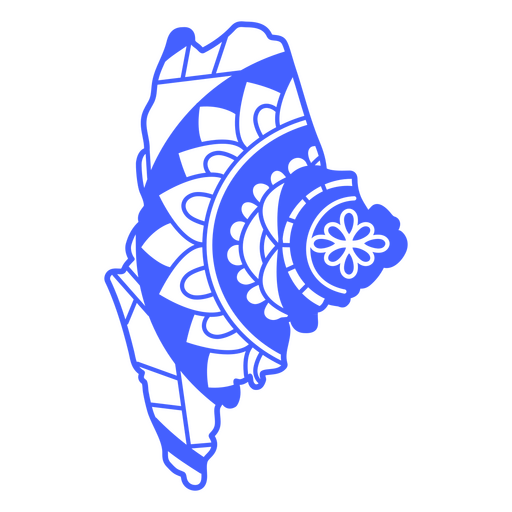
Maine state mandala map PNG Design
Choose a folder
All favorites
Create new
Save
Maine state mandala map PNG Design
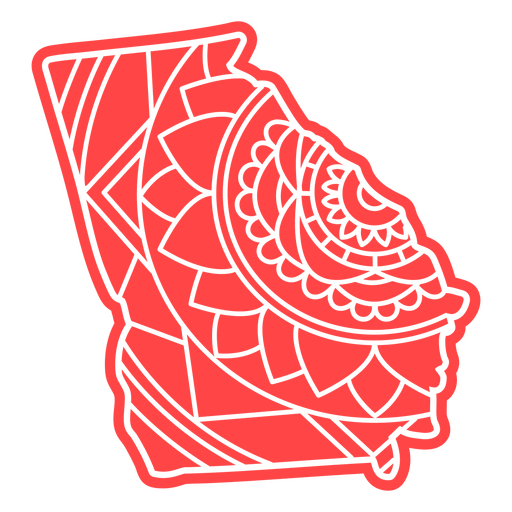
Georgia state mandala map PNG Design
Choose a folder
All favorites
Create new
Save
Georgia state mandala map PNG Design
Colorado state mandala map PNG Design
Choose a folder
All favorites
Create new
Save
Colorado state mandala map PNG Design
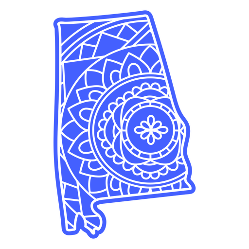
Alabama state mandala map PNG Design
Choose a folder
All favorites
Create new
Save
Alabama state mandala map PNG Design
Connecticut state mandala map PNG Design
Choose a folder
All favorites
Create new
Save
Connecticut state mandala map PNG Design
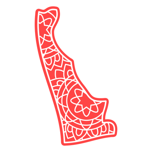
Delaware state mandala map PNG Design
Choose a folder
All favorites
Create new
Save
Delaware state mandala map PNG Design
Louisiana state mandala map stroke PNG Design
Choose a folder
All favorites
Create new
Save
Louisiana state mandala map stroke PNG Design
Maine state mandala map stroke PNG Design
Choose a folder
All favorites
Create new
Save
Maine state mandala map stroke PNG Design
Connecticut state mandala map stroke PNG Design
Choose a folder
All favorites
Create new
Save
Connecticut state mandala map stroke PNG Design
Alaska state mandala map stroke PNG Design
Choose a folder
All favorites
Create new
Save
Alaska state mandala map stroke PNG Design
Missouri state mandala map stroke PNG Design
Choose a folder
All favorites
Create new
Save
Missouri state mandala map stroke PNG Design
Maryland state mandala map stroke PNG Design
Choose a folder
All favorites
Create new
Save
Maryland state mandala map stroke PNG Design
Georgia state mandala map stroke PNG Design
Choose a folder
All favorites
Create new
Save
Georgia state mandala map stroke PNG Design
Colorado state mandala map stroke PNG Design
Choose a folder
All favorites
Create new
Save
Colorado state mandala map stroke PNG Design
Alabama state mandala map stroke PNG Design
Choose a folder
All favorites
Create new
Save
Alabama state mandala map stroke PNG Design
Arkansas state mandala map stroke PNG Design
Choose a folder
All favorites
Create new
Save
Arkansas state mandala map stroke PNG Design
Delaware state mandala map stroke PNG Design
Choose a folder
All favorites
Create new
Save
Delaware state mandala map stroke PNG Design
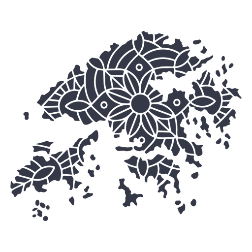
Hong Kong map silhouette mandala cut out PNG Design
Choose a folder
All favorites
Create new
Save
Hong Kong map silhouette mandala cut out PNG Design
Ireland map silhouette mandala cut out PNG Design
Choose a folder
All favorites
Create new
Save
Ireland map silhouette mandala cut out PNG Design
Premium
Appenzell innerrhoden canton map PNG Design
Choose a folder
All favorites
Create new
Save
Appenzell innerrhoden canton map PNG Design
Premium
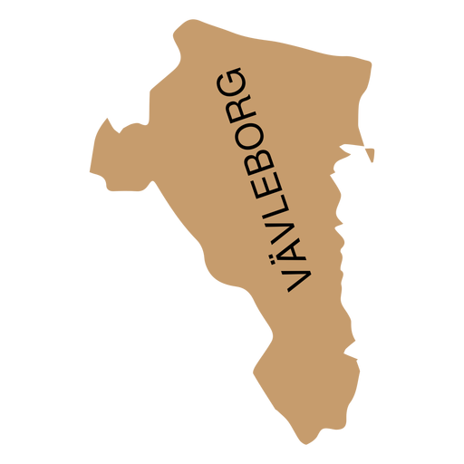
Gavleborg county map PNG Design
Choose a folder
All favorites
Create new
Save
Gavleborg county map PNG Design
Premium
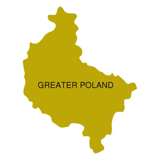
Greater poland voivodeship map PNG Design
Choose a folder
All favorites
Create new
Save
Greater poland voivodeship map PNG Design
Premium
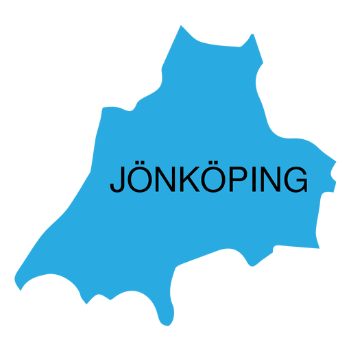
Jonkoping county map PNG Design
Choose a folder
All favorites
Create new
Save
Jonkoping county map PNG Design
Premium
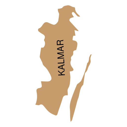
Kalmar county map PNG Design
Choose a folder
All favorites
Create new
Save
Kalmar county map PNG Design
Premium
Kronoberg county map PNG Design
Choose a folder
All favorites
Create new
Save
Kronoberg county map PNG Design
Premium
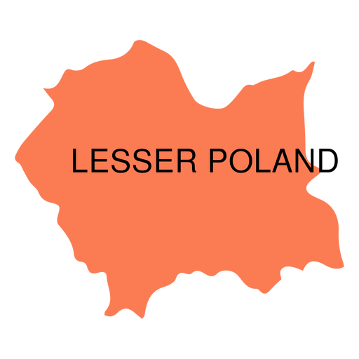
Lesser poland voivodeship map PNG Design
Choose a folder
All favorites
Create new
Save
Lesser poland voivodeship map PNG Design
Premium
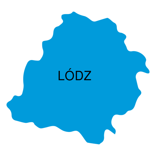
Lodz voivodeship map PNG Design
Choose a folder
All favorites
Create new
Save
Lodz voivodeship map PNG Design
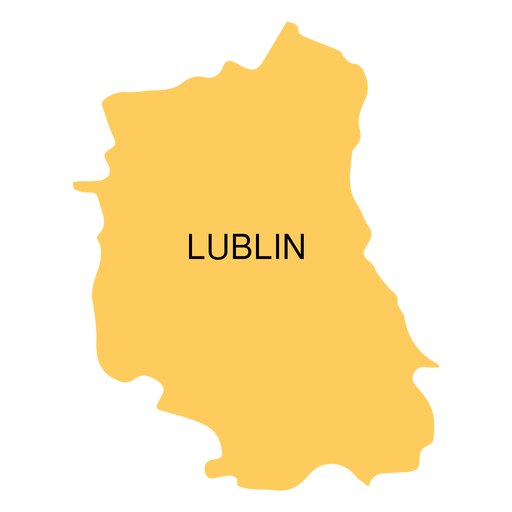
Premium
Lublin voivodeship map PNG Design
Choose a folder
All favorites
Create new
Save
Lublin voivodeship map PNG Design
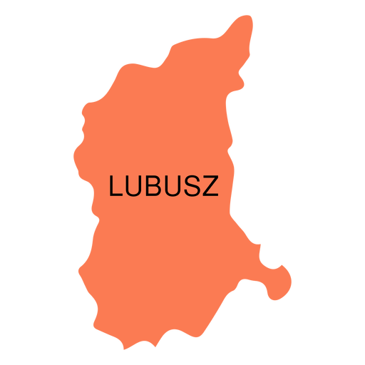
Premium
Lubusz voivodeship map PNG Design
Choose a folder
All favorites
Create new
Save
Lubusz voivodeship map PNG Design
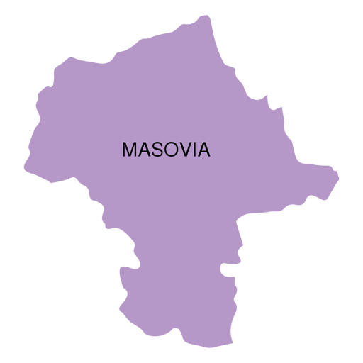
Premium
Masovia voivodeship map PNG Design
Choose a folder
All favorites
Create new
Save
Masovia voivodeship map PNG Design
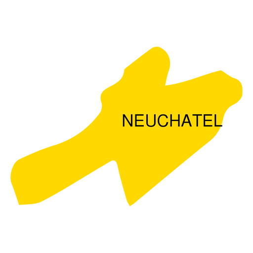
Premium
Neuchatel canton map PNG Design
Choose a folder
All favorites
Create new
Save
Neuchatel canton map PNG Design
Premium
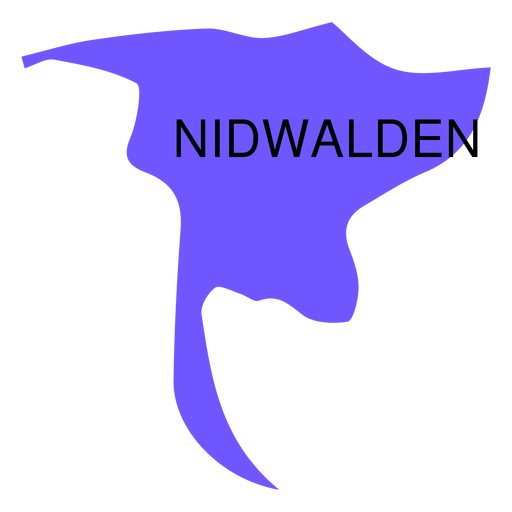
Nidwalden canton map PNG Design
Choose a folder
All favorites
Create new
Save
Nidwalden canton map PNG Design
Premium
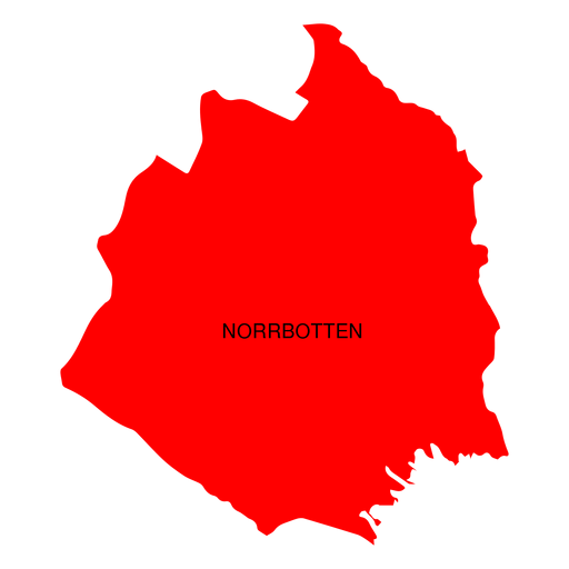
Norrbotten county map PNG Design
Choose a folder
All favorites
Create new
Save
Norrbotten county map PNG Design
Premium
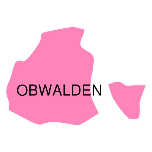
Obwalden canton map PNG Design
Choose a folder
All favorites
Create new
Save
Obwalden canton map PNG Design
Premium
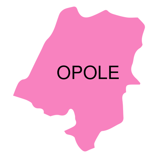
Opole voivodeship map PNG Design
Choose a folder
All favorites
Create new
Save
Opole voivodeship map PNG Design
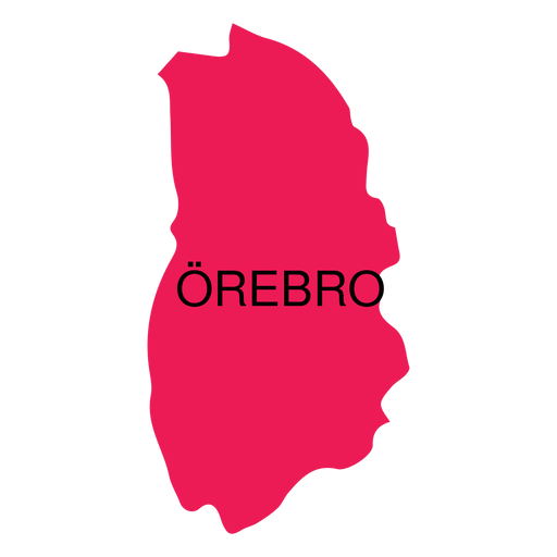
Premium
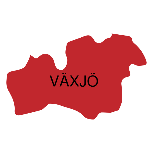
Orebro county map PNG Design
Choose a folder
All favorites
Create new
Save
Orebro county map PNG Design
Boost Your Business
With The Leading Graphic Platform For Merch.
SEE PLANS
Next
of 18
prev page
next page