Design Library
New Merch Designs
T-Shirts
Vectors
Trending Merch Designs
PNGs & SVGs
Mockups
T-Shirt PSD Templates
Explore Designs
KDP Designs
Posters
Mugs
Phone Cases
Tote Bags
Pillows
Design Tools
Merch Designer
New!
Mockup Generator
AI Design Generator
Image Vectorizer
Quote Generator
T-Shirt Maker (Old)
Resources
Merch Digest
Blog
Help Center
Learn About Merch
Feedback
Corporate Solutions
Enterprise
API Access
Design Studio
Bulk Design Production
Pricing
Loading...
Sign Up
Login
PNGs For Merch
country
map
Design Library
New Merch Designs
T-Shirts
Vectors
Trending Merch Designs
PNGs & SVGs
Mockups
T-Shirt PSD Templates
Explore Designs
KDP Designs
Posters
Mugs
Phone Cases
Tote Bags
Pillows
Design Tools
Merch Designer
New!
Mockup Generator
AI Design Generator
Image Vectorizer
Quote Generator
T-Shirt Maker (Old)
Resources
Merch Digest
Blog
Help Center
Learn About Merch
Feedback
Corporate Solutions
Enterprise
API Access
Design Studio
Bulk Design Production
PLANS
PNGs For Merch
country
map
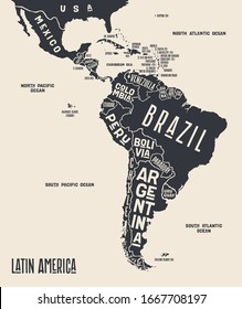
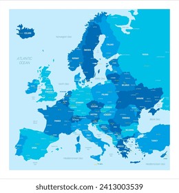
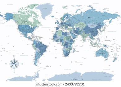
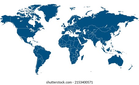
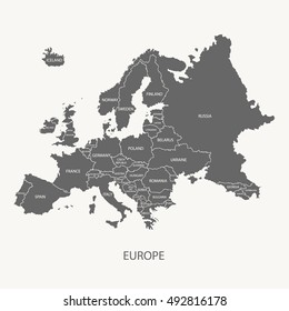
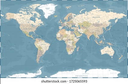
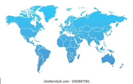
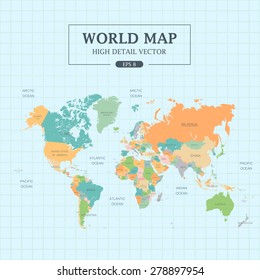
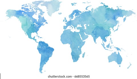
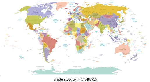
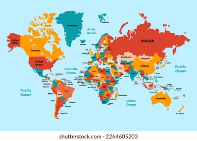
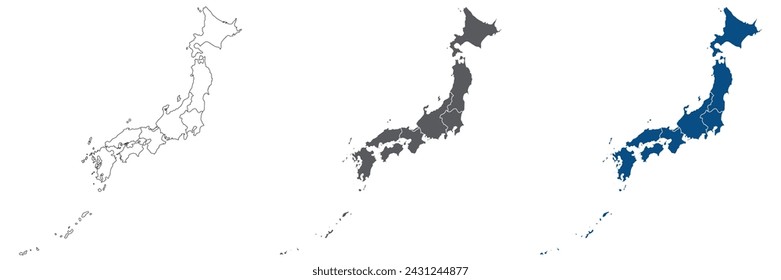
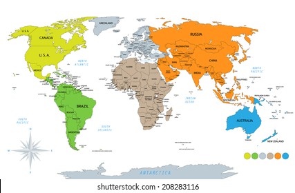
876 country map PNG and SVG design graphic
Download country map PNG & SVG Designs with transparent background for T-Shirts, book covers, phone cases and other merch.
Related:
country maps
Sort by
Most relevant
Sponsored results by
Get 15% off with code: VEXELS15
Show more
Premium
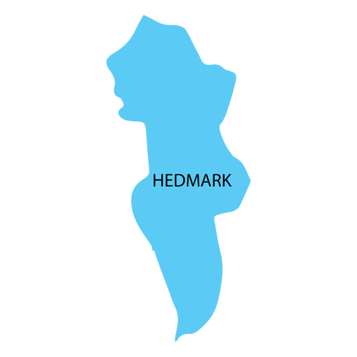
Hedmark county map PNG Design
Choose a folder
All favorites
Create new
Save
Hedmark county map PNG Design
North america stroke continents map PNG Design
Choose a folder
All favorites
Create new
Save
North america stroke continents map PNG Design
Oceania stroke continents map PNG Design
Choose a folder
All favorites
Create new
Save
Oceania stroke continents map PNG Design
Maine map polygonal PNG Design
Choose a folder
All favorites
Create new
Save
Maine map polygonal PNG Design
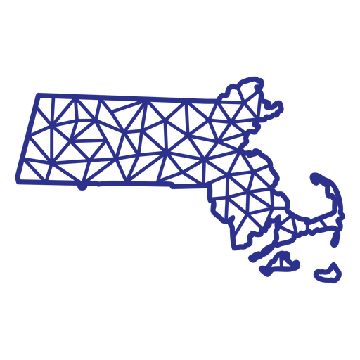
Massachusetts map polygonal PNG Design
Choose a folder
All favorites
Create new
Save
Massachusetts map polygonal PNG Design
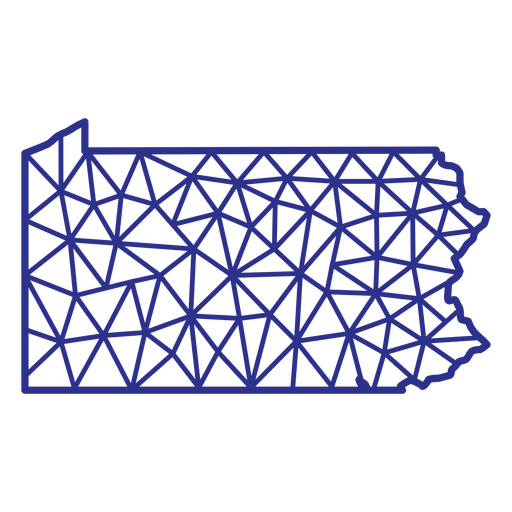
Pennsylvania map polygonal PNG Design
Choose a folder
All favorites
Create new
Save
Pennsylvania map polygonal PNG Design
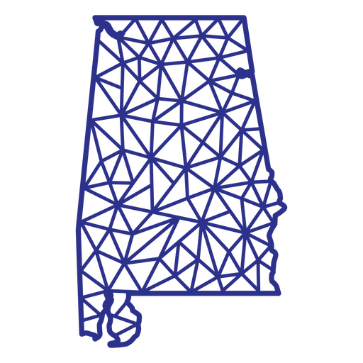
Alabama map polygonal PNG Design
Choose a folder
All favorites
Create new
Save
Alabama map polygonal PNG Design
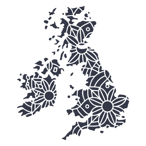
United Kingdom map silhouette mandala cut out PNG Design
Choose a folder
All favorites
Create new
Save
United Kingdom map silhouette mandala cut out PNG Design
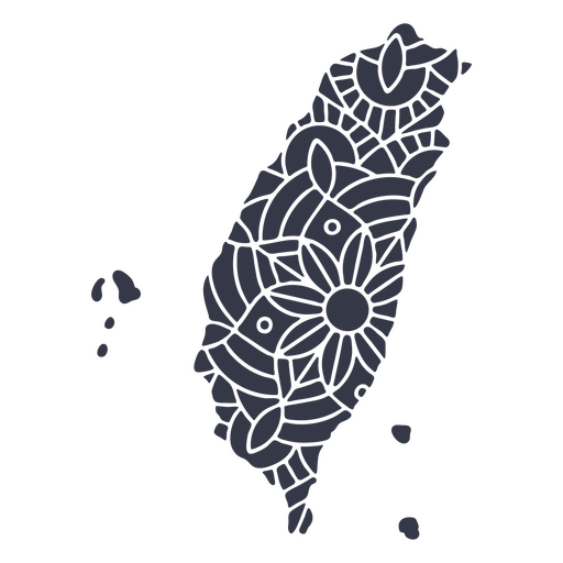
Taiwan map silhouette mandala cut out PNG Design
Choose a folder
All favorites
Create new
Save
Taiwan map silhouette mandala cut out PNG Design
Premium
Abruzzo region map PNG Design
Choose a folder
All favorites
Create new
Save
Abruzzo region map PNG Design
Premium
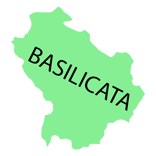
Basilicata region map PNG Design
Choose a folder
All favorites
Create new
Save
Basilicata region map PNG Design
Premium
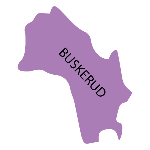
Buskerud county map PNG Design
Choose a folder
All favorites
Create new
Save
Buskerud county map PNG Design
Premium
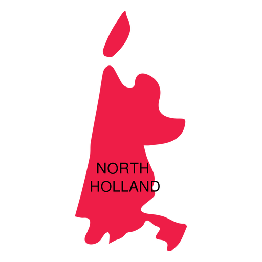
North holland province map PNG Design
Choose a folder
All favorites
Create new
Save
North holland province map PNG Design
Premium
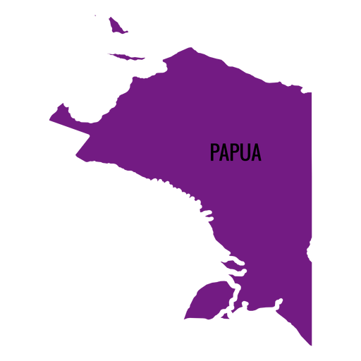
Papua province map PNG Design
Choose a folder
All favorites
Create new
Save
Papua province map PNG Design
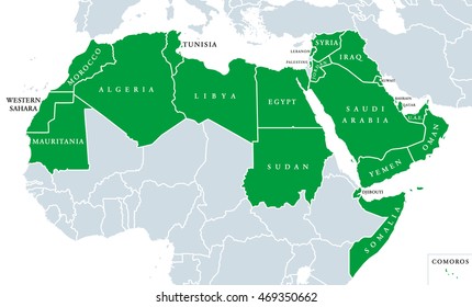
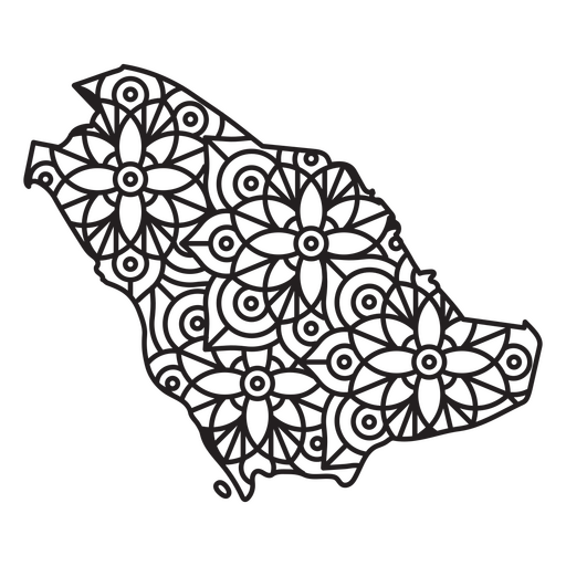
Saudi Arabia Mandala Map PNG Design
Choose a folder
All favorites
Create new
Save
Saudi Arabia Mandala Map PNG Design
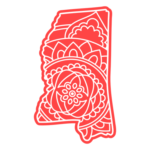
Mississippi state mandala map element PNG Design
Choose a folder
All favorites
Create new
Save
Mississippi state mandala map element PNG Design
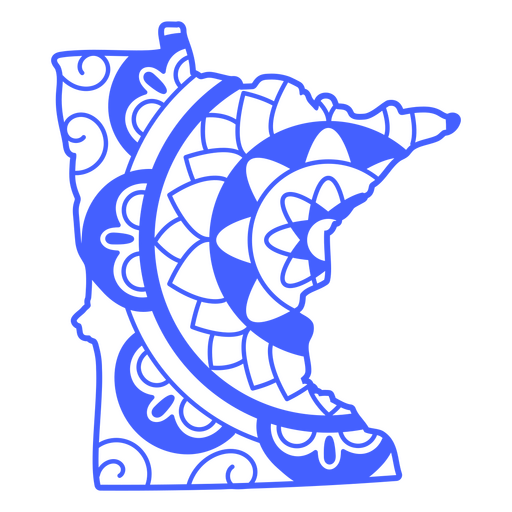
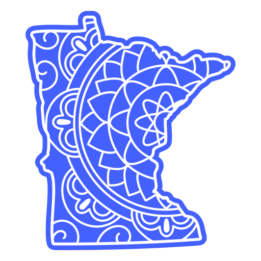
Minnesota state mandala map stroke PNG Design
Choose a folder
All favorites
Create new
Save
Minnesota state mandala map stroke PNG Design
Premium
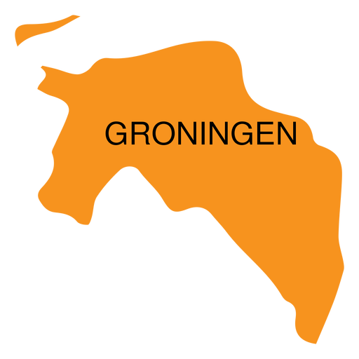
Groningen province map PNG Design
Choose a folder
All favorites
Create new
Save
Groningen province map PNG Design
Premium
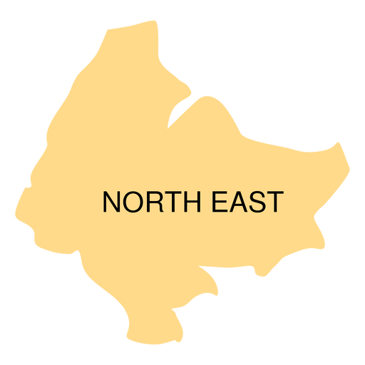
North east district map PNG Design
Choose a folder
All favorites
Create new
Save
North east district map PNG Design
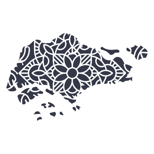
Mandala Singapore Map PNG Design
Choose a folder
All favorites
Create new
Save
Mandala Singapore Map PNG Design
Mandala Turkey Map PNG Design
Choose a folder
All favorites
Create new
Save
Mandala Turkey Map PNG Design
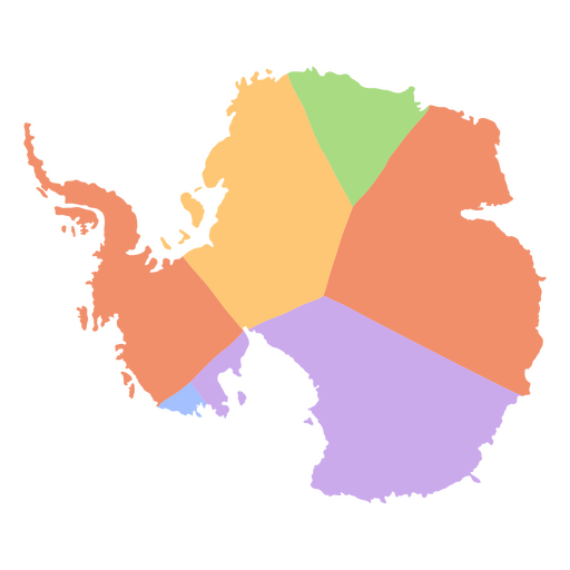
Antarctica flat continents map PNG Design
Choose a folder
All favorites
Create new
Save
Antarctica flat continents map PNG Design
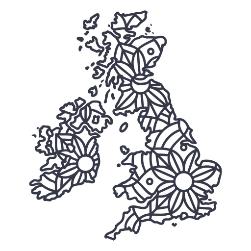
United kingdom map silhouette mandala stroke PNG Design
Choose a folder
All favorites
Create new
Save
United kingdom map silhouette mandala stroke PNG Design
Premium
4th of july happy independence day 1776 country PNG Design
Choose a folder
All favorites
Create new
Save
4th of july happy independence day 1776 country PNG Design
Premium
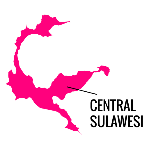
Central sulawesi province map PNG Design
Choose a folder
All favorites
Create new
Save
Central sulawesi province map PNG Design
Premium
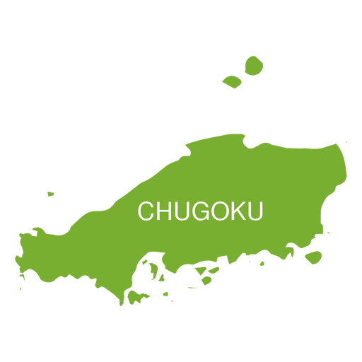
Chugoku region map PNG Design
Choose a folder
All favorites
Create new
Save
Chugoku region map PNG Design
Premium
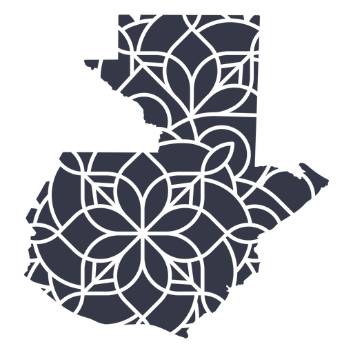
Guatemala's mandala map PNG Design
Choose a folder
All favorites
Create new
Save
Guatemala's mandala map PNG Design
A silhouette of the map of Sweden PNG Design
Choose a folder
All favorites
Create new
Save
A silhouette of the map of Sweden PNG Design
A silhouette of the map of Israel PNG Design
Choose a folder
All favorites
Create new
Save
A silhouette of the map of Israel PNG Design
A silhouette of the map of Ecuador PNG Design
Choose a folder
All favorites
Create new
Save
A silhouette of the map of Ecuador PNG Design
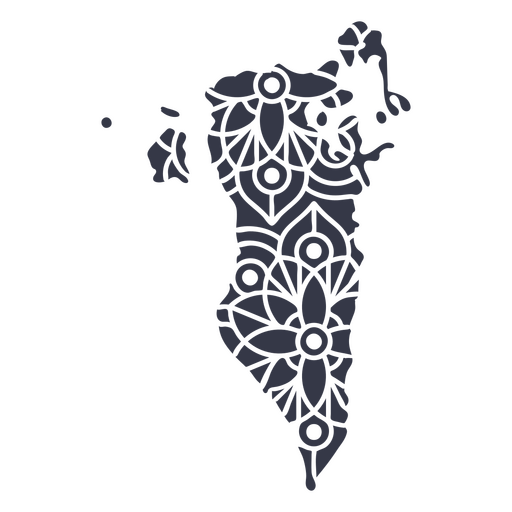
Mandala Bahrain Map PNG Design
Choose a folder
All favorites
Create new
Save
Mandala Bahrain Map PNG Design
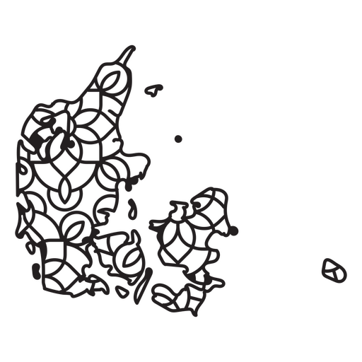
Denmark Mandala Map PNG Design
Choose a folder
All favorites
Create new
Save
Denmark Mandala Map PNG Design
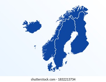
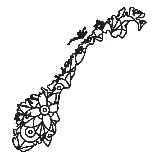
Norway Mandala Map PNG Design
Choose a folder
All favorites
Create new
Save
Norway Mandala Map PNG Design
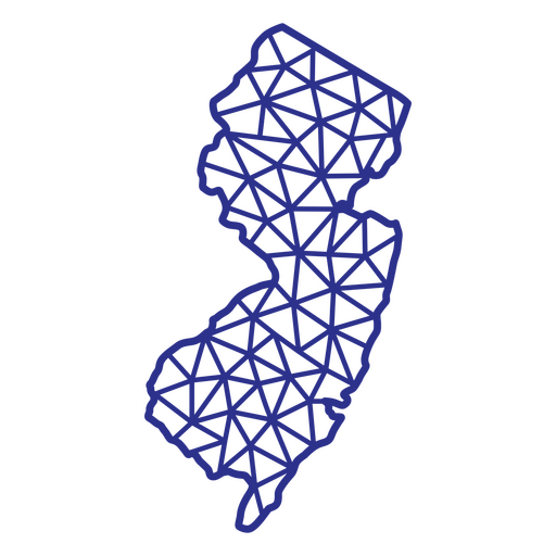
New Jersey map polygonal PNG Design
Choose a folder
All favorites
Create new
Save
New Jersey map polygonal PNG Design
Minnesota state mandala map PNG Design
Choose a folder
All favorites
Create new
Save
Minnesota state mandala map PNG Design
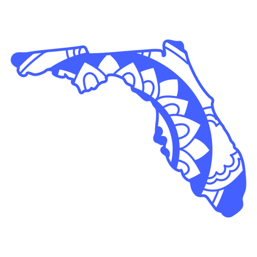
Florida state mandala map stroke PNG Design
Choose a folder
All favorites
Create new
Save
Florida state mandala map stroke PNG Design
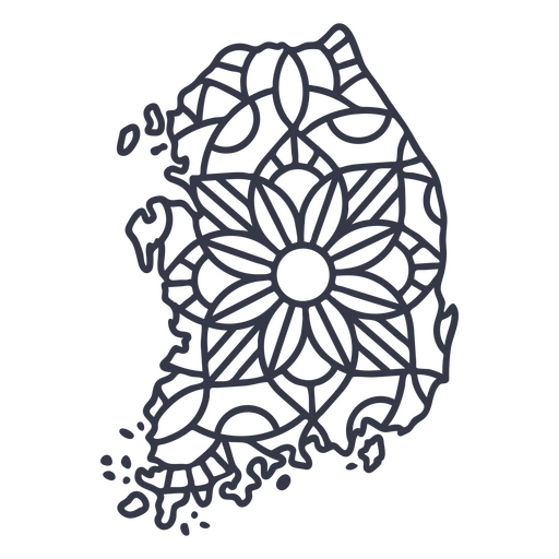
South Korea map silhouette mandala stroke PNG Design
Choose a folder
All favorites
Create new
Save
South Korea map silhouette mandala stroke PNG Design
Premium
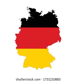
Germany map silhouette PNG Design
Choose a folder
All favorites
Create new
Save
Germany map silhouette PNG Design
Premium
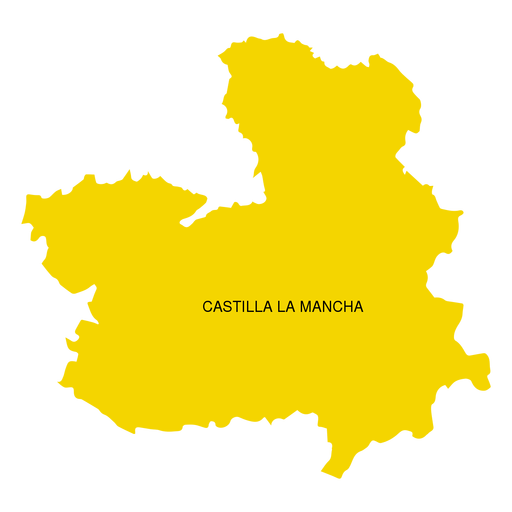
Castilla la mancha autonomous community map PNG Design
Choose a folder
All favorites
Create new
Save
Castilla la mancha autonomous community map PNG Design
Premium
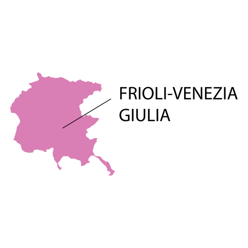
Friuli venezia giulia region map PNG Design
Choose a folder
All favorites
Create new
Save
Friuli venezia giulia region map PNG Design
Premium
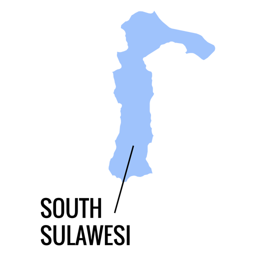
South sulawesi province map PNG Design
Choose a folder
All favorites
Create new
Save
South sulawesi province map PNG Design
Premium
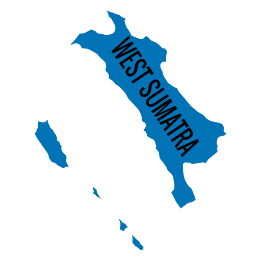
West sumatra province map PNG Design
Choose a folder
All favorites
Create new
Save
West sumatra province map PNG Design
A silhouette of the map of Colombia PNG Design
Choose a folder
All favorites
Create new
Save
A silhouette of the map of Colombia PNG Design
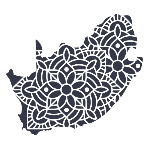
Mandala South Africa Map PNG Design
Choose a folder
All favorites
Create new
Save
Mandala South Africa Map PNG Design
Africa stroke continents map PNG Design
Choose a folder
All favorites
Create new
Save
Africa stroke continents map PNG Design
North Dakota state stroke map PNG Design
Choose a folder
All favorites
Create new
Save
North Dakota state stroke map PNG Design
Premium
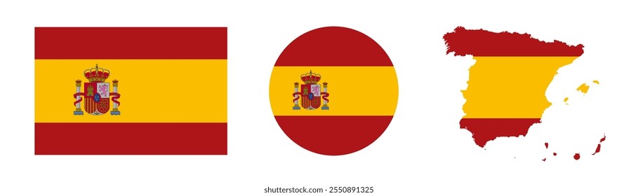
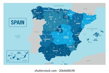
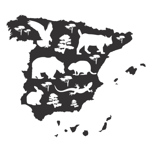
Spain map silhouette PNG Design
Choose a folder
All favorites
Create new
Save
Spain map silhouette PNG Design
Premium
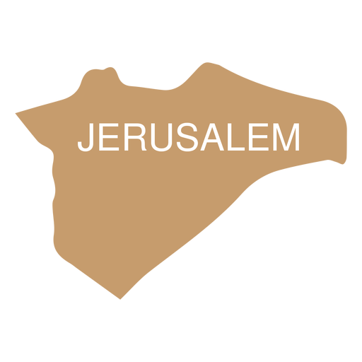
Jerusalem district map PNG Design
Choose a folder
All favorites
Create new
Save
Jerusalem district map PNG Design
Premium
Maluku province map PNG Design
Choose a folder
All favorites
Create new
Save
Maluku province map PNG Design
Premium
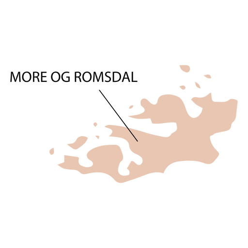
More og romsdal county map PNG Design
Choose a folder
All favorites
Create new
Save
More og romsdal county map PNG Design
Boost Your Business
With The Leading Graphic Platform For Merch.
SEE PLANS
Next
of 18
prev page
next page