Design Library
New Merch Designs
T-Shirts
Vectors
Trending Merch Designs
PNGs & SVGs
Mockups
T-Shirt PSD Templates
Explore Designs
KDP Designs
Posters
Mugs
Phone Cases
Tote Bags
Pillows
Design Tools
Merch Designer
New!
Mockup Generator
AI Design Generator
Image Vectorizer
Quote Generator
T-Shirt Maker (Old)
Resources
Merch Digest
Blog
Help Center
Learn About Merch
Feedback
Corporate Solutions
Enterprise
API Access
Design Studio
Bulk Design Production
Pricing
Loading...
Sign Up
Login
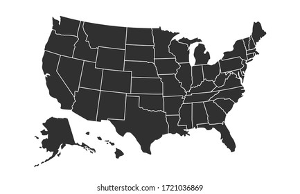
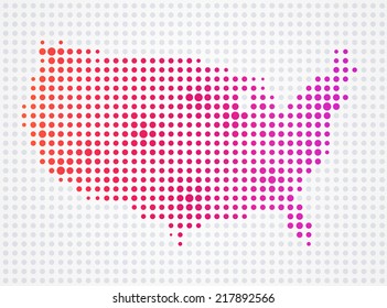
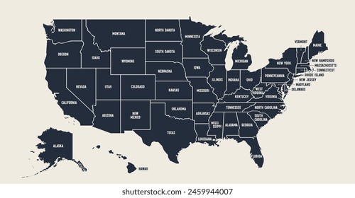
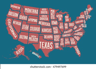
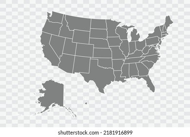
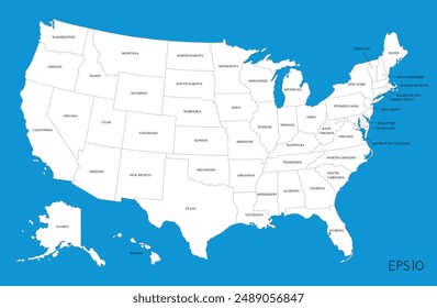
All
us
map
Design Library
New Merch Designs
T-Shirts
Vectors
Trending Merch Designs
PNGs & SVGs
Mockups
T-Shirt PSD Templates
Explore Designs
KDP Designs
Posters
Mugs
Phone Cases
Tote Bags
Pillows
Design Tools
Merch Designer
New!
Mockup Generator
AI Design Generator
Image Vectorizer
Quote Generator
T-Shirt Maker (Old)
Resources
Merch Digest
Blog
Help Center
Learn About Merch
Feedback
Corporate Solutions
Enterprise
API Access
Design Studio
Bulk Design Production
PLANS
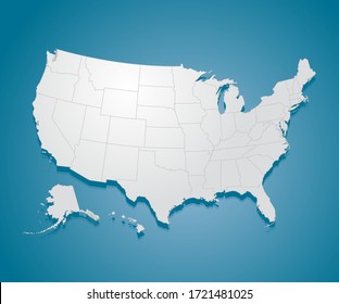
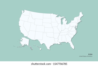
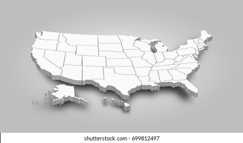
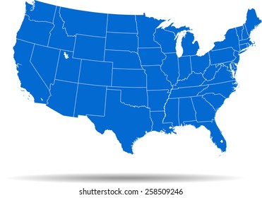
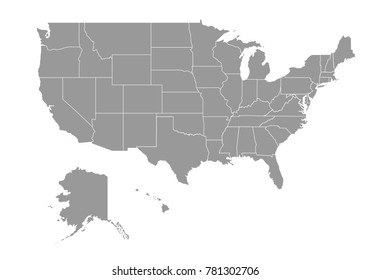
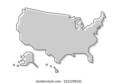
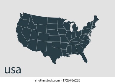
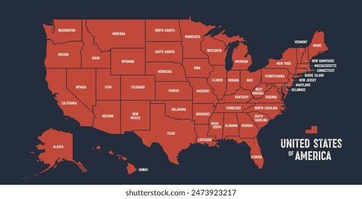
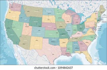
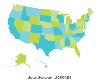
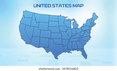
All
us
map
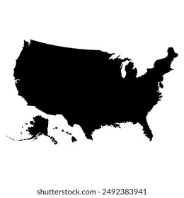
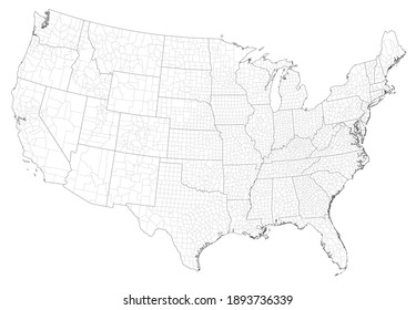
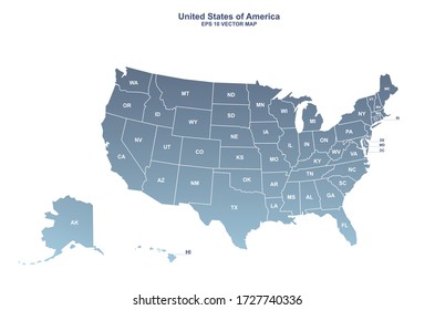
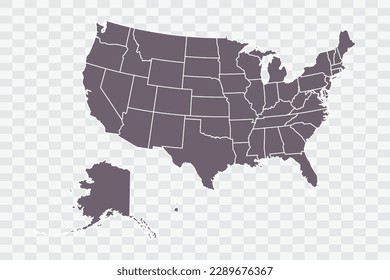
95 us map designs graphics for t-shirt and print on demand merch
Download us map t-shirt designs and other merch graphics like book covers, phone cases, tote bags and more.
Sort by
Most relevant
Sponsored results by
Get 15% off with code: VEXELS15
Show more
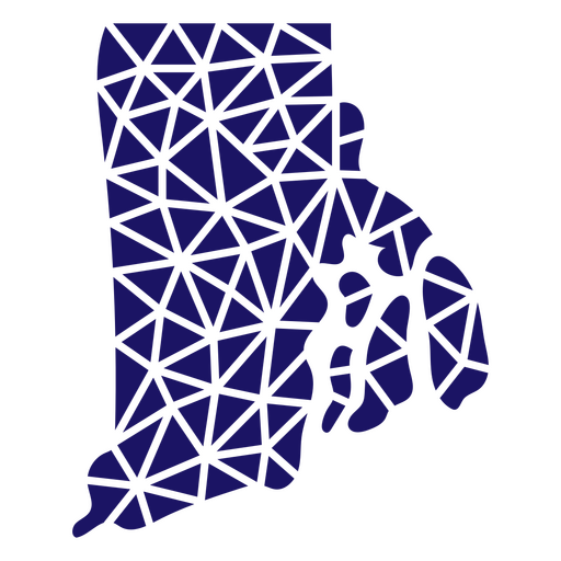
Polygonal Rhode Island Map PNG Design
Choose a folder
All favorites
Create new
Save
Polygonal Rhode Island Map PNG Design
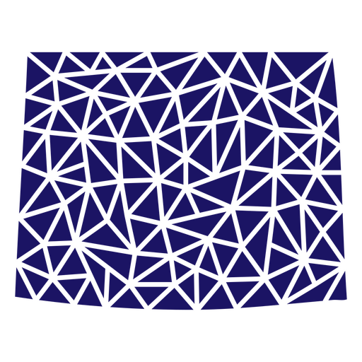
Polygonal Wyoming State Map PNG Design
Choose a folder
All favorites
Create new
Save
Polygonal Wyoming State Map PNG Design
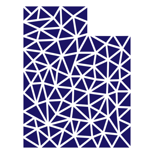
Polygonal Utah State Map PNG Design
Choose a folder
All favorites
Create new
Save
Polygonal Utah State Map PNG Design
Connecticut Stars & Stripes Map PNG Design
Choose a folder
All favorites
Create new
Save
Connecticut Stars & Stripes Map PNG Design
New York Mandala Map PNG Design
Choose a folder
All favorites
Create new
Save
New York Mandala Map PNG Design
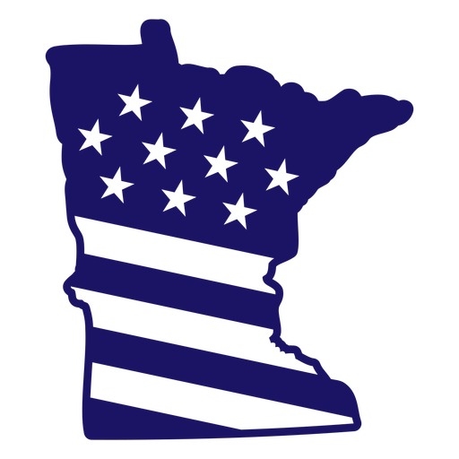
Minnesota state american flag filled stroke map PNG Design
Choose a folder
All favorites
Create new
Save
Minnesota state american flag filled stroke map PNG Design
Alaska state american flag filled stroke map PNG Design
Choose a folder
All favorites
Create new
Save
Alaska state american flag filled stroke map PNG Design
Maine state american flag filled stroke map PNG Design
Choose a folder
All favorites
Create new
Save
Maine state american flag filled stroke map PNG Design
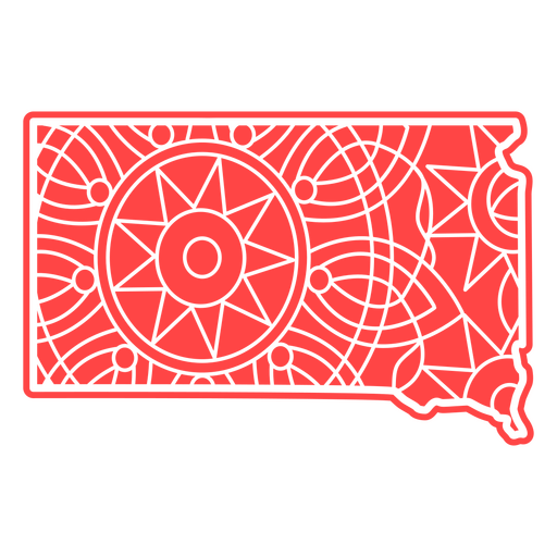
South Dakota Mandala Map PNG Design
Choose a folder
All favorites
Create new
Save
South Dakota Mandala Map PNG Design
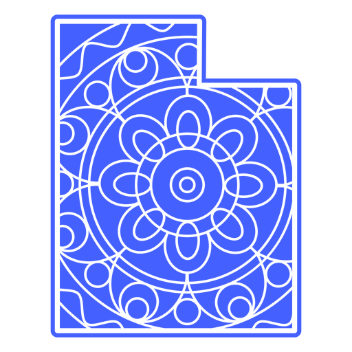
Utah Mandala Map PNG Design
Choose a folder
All favorites
Create new
Save
Utah Mandala Map PNG Design
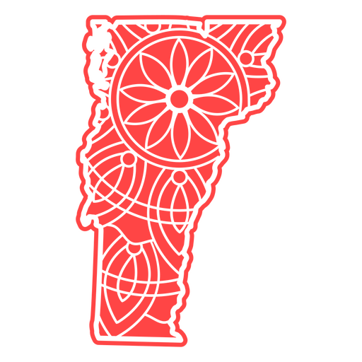
Vermont Mandala Map PNG Design
Choose a folder
All favorites
Create new
Save
Vermont Mandala Map PNG Design
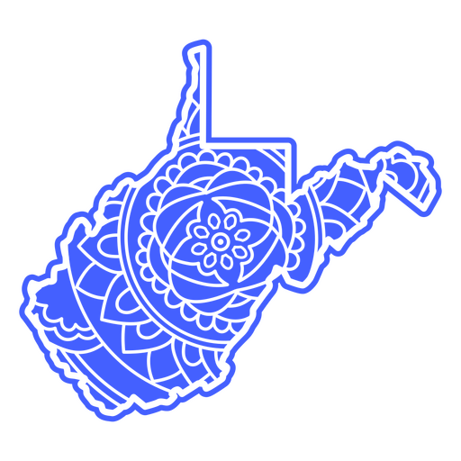
West Virginia Mandala Map PNG Design
Choose a folder
All favorites
Create new
Save
West Virginia Mandala Map PNG Design
Wyoming Mandala Map PNG Design
Choose a folder
All favorites
Create new
Save
Wyoming Mandala Map PNG Design
Massachusetts state american flag filled stroke map PNG Design
Choose a folder
All favorites
Create new
Save
Massachusetts state american flag filled stroke map PNG Design
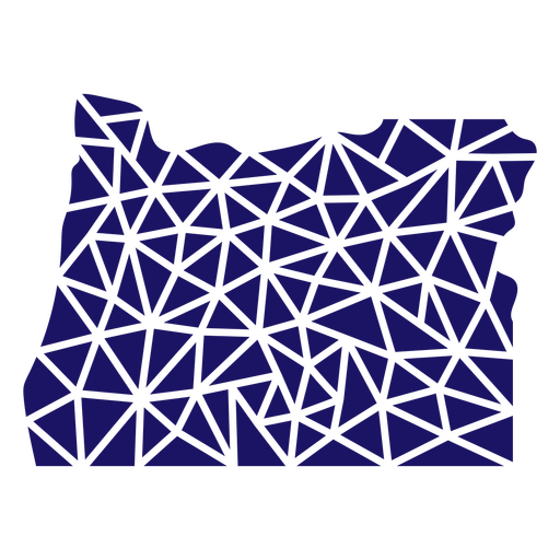
Polygonal Oregon State Map PNG Design
Choose a folder
All favorites
Create new
Save
Polygonal Oregon State Map PNG Design
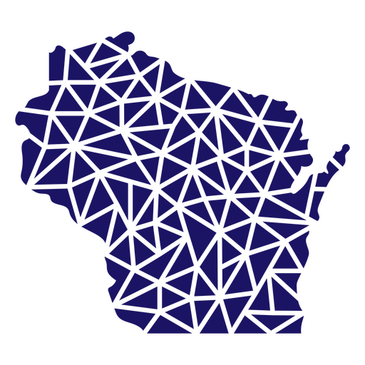
Polygonal Wisconsin State Map PNG Design
Choose a folder
All favorites
Create new
Save
Polygonal Wisconsin State Map PNG Design
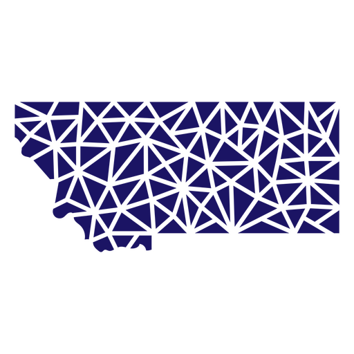
Polygonal Montana State Map PNG Design
Choose a folder
All favorites
Create new
Save
Polygonal Montana State Map PNG Design
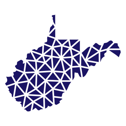
Polygonal West Virginia Map PNG Design
Choose a folder
All favorites
Create new
Save
Polygonal West Virginia Map PNG Design
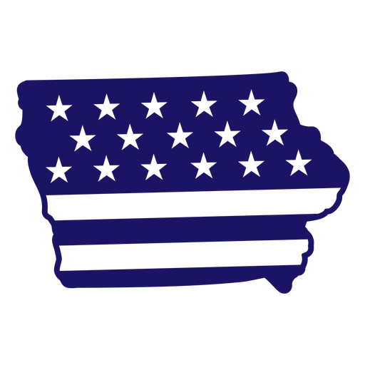
Iowa state american flag filled stroke map PNG Design
Choose a folder
All favorites
Create new
Save
Iowa state american flag filled stroke map PNG Design
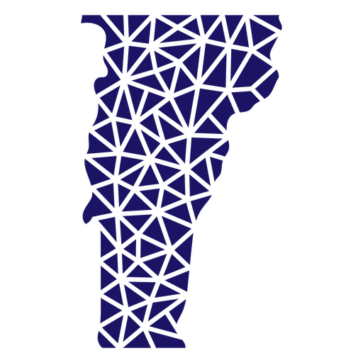
Polygonal Vermont State Map PNG Design
Choose a folder
All favorites
Create new
Save
Polygonal Vermont State Map PNG Design
Polygonal Virginia State Map PNG Design
Choose a folder
All favorites
Create new
Save
Polygonal Virginia State Map PNG Design
Polygonal Nebraska State Map PNG Design
Choose a folder
All favorites
Create new
Save
Polygonal Nebraska State Map PNG Design
Polygonal Tennessee State Map PNG Design
Choose a folder
All favorites
Create new
Save
Polygonal Tennessee State Map PNG Design
Polygonal Pennsylvania Map PNG Design
Choose a folder
All favorites
Create new
Save
Polygonal Pennsylvania Map PNG Design
Polygonal South Dakota Map PNG Design
Choose a folder
All favorites
Create new
Save
Polygonal South Dakota Map PNG Design
Polygonal New Mexico Map PNG Design
Choose a folder
All favorites
Create new
Save
Polygonal New Mexico Map PNG Design
Polygonal Kansas State Map PNG Design
Choose a folder
All favorites
Create new
Save
Polygonal Kansas State Map PNG Design
Maryland state american flag filled stroke map PNG Design
Choose a folder
All favorites
Create new
Save
Maryland state american flag filled stroke map PNG Design
Delaware Stars & Stripes Map PNG Design
Choose a folder
All favorites
Create new
Save
Delaware Stars & Stripes Map PNG Design
Freedom USA map filled stroke PNG Design
Choose a folder
All favorites
Create new
Save
Freedom USA map filled stroke PNG Design
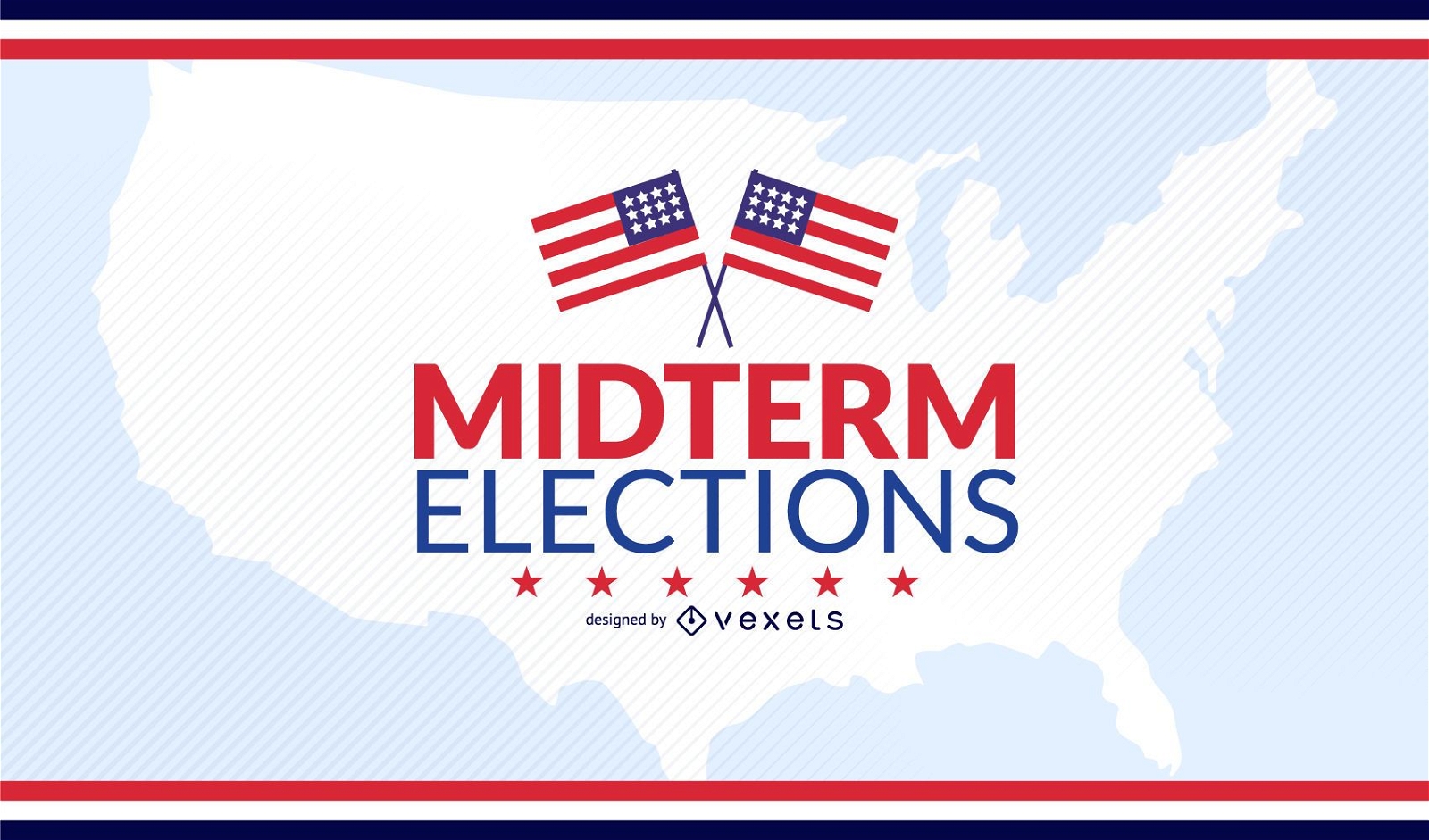
USA midterm elections design
Choose a folder
All favorites
Create new
Save
USA midterm elections design
Print ready
for Merch
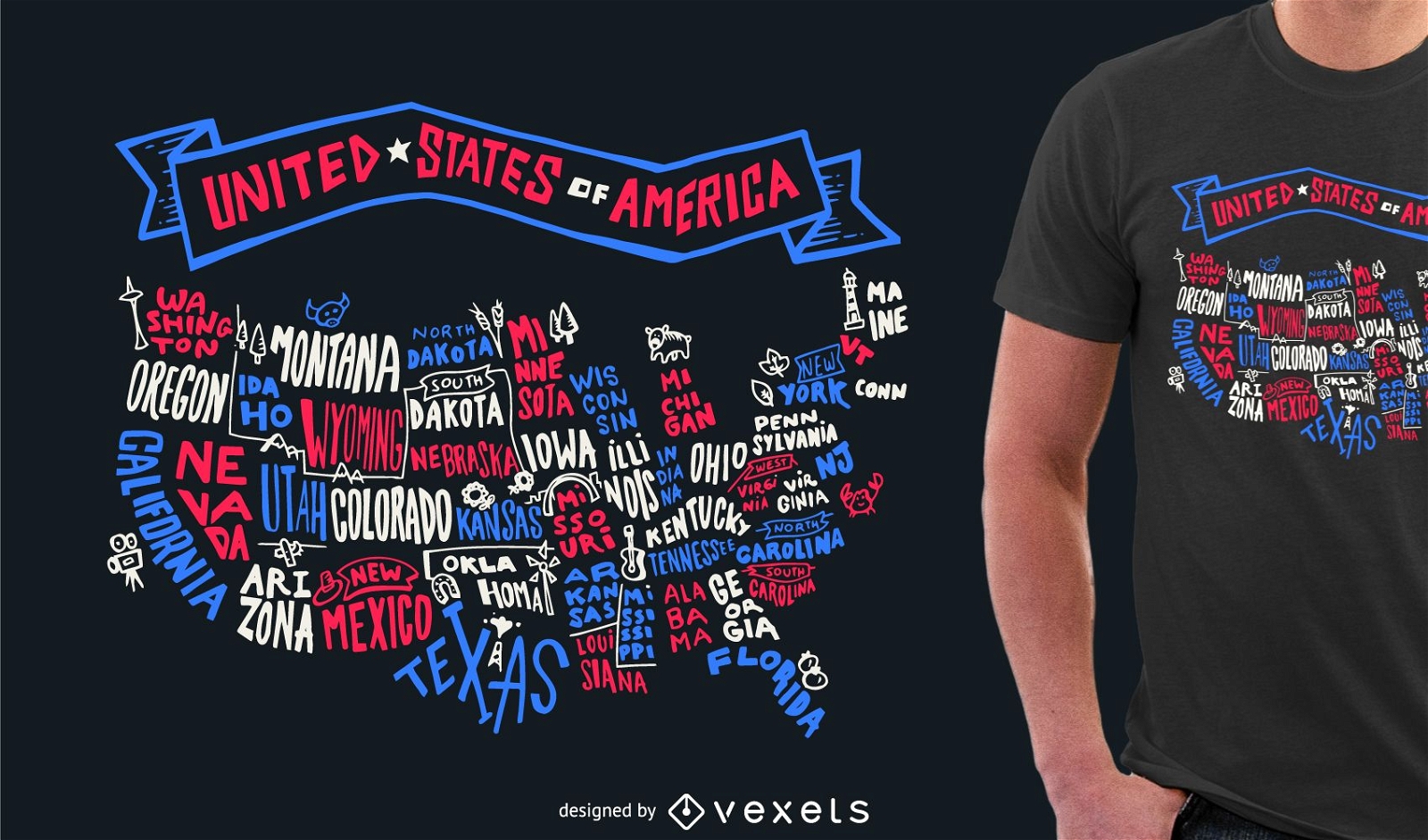
USA lettering tshirt design
Choose a folder
All favorites
Create new
Save
USA lettering tshirt design
Print ready
for Merch
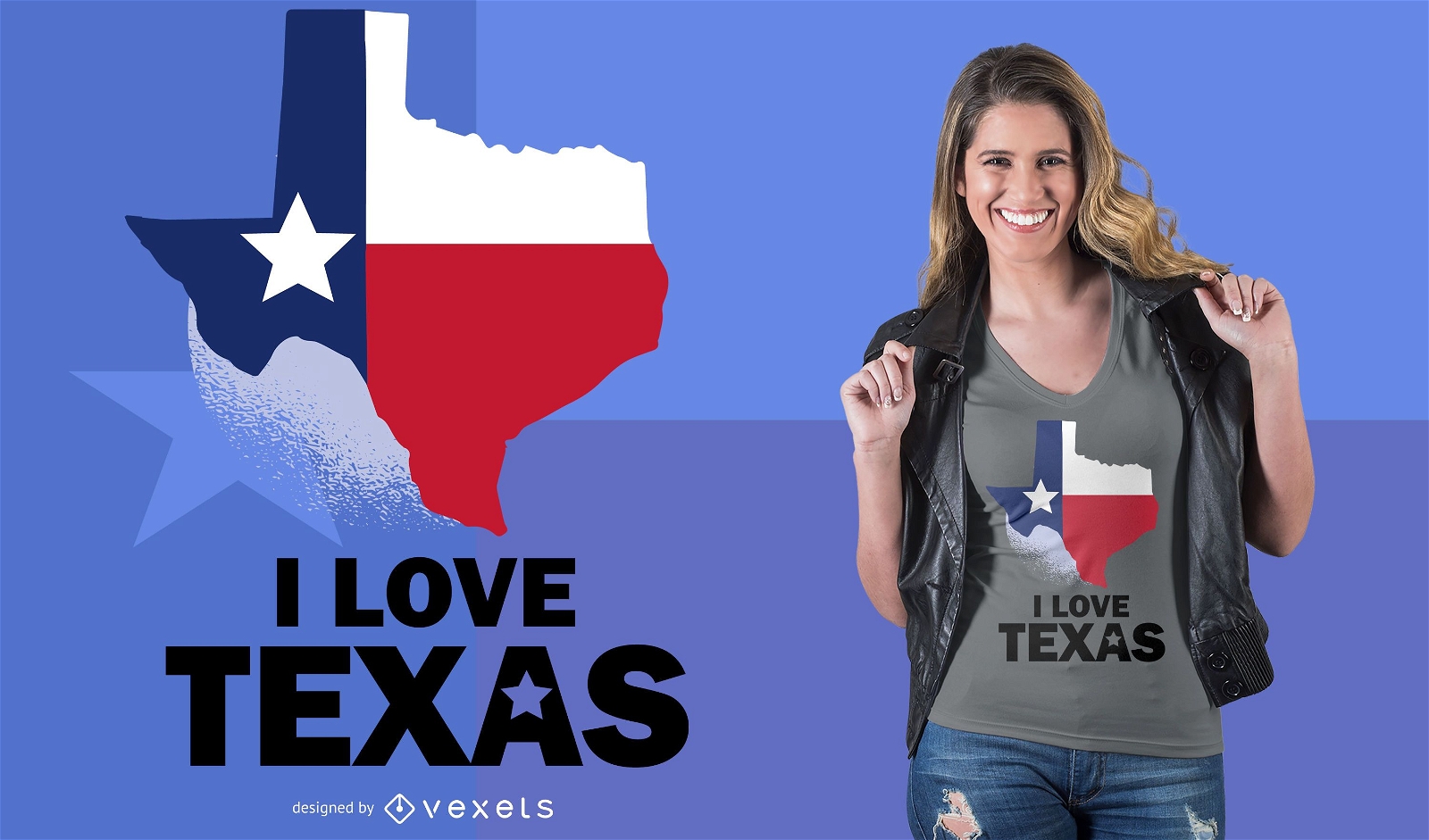
Love Texas T-Shirt Design
Choose a folder
All favorites
Create new
Save
Love Texas T-Shirt Design
Print ready
for Merch
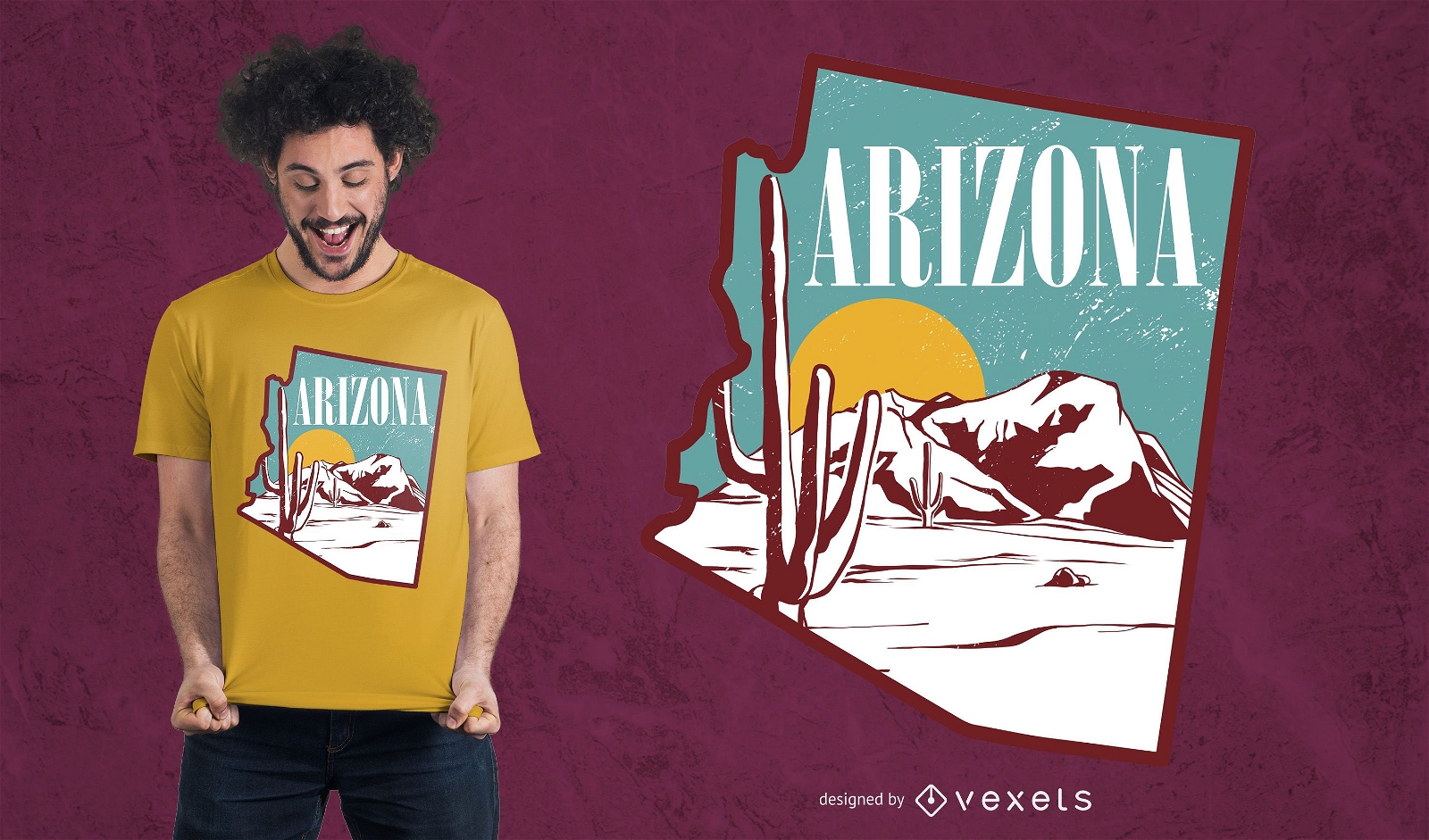
Arizona landscape t-shirt design
Choose a folder
All favorites
Create new
Save
Arizona landscape t-shirt design
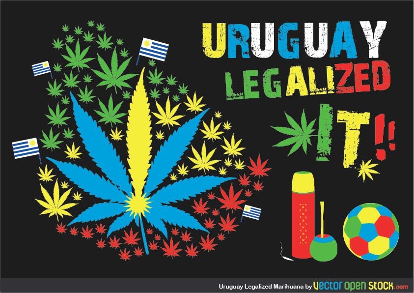
Uruaguay Legalized Marihuana
Choose a folder
All favorites
Create new
Save
Uruaguay Legalized Marihuana
Kindle Direct
Editable text
Premium
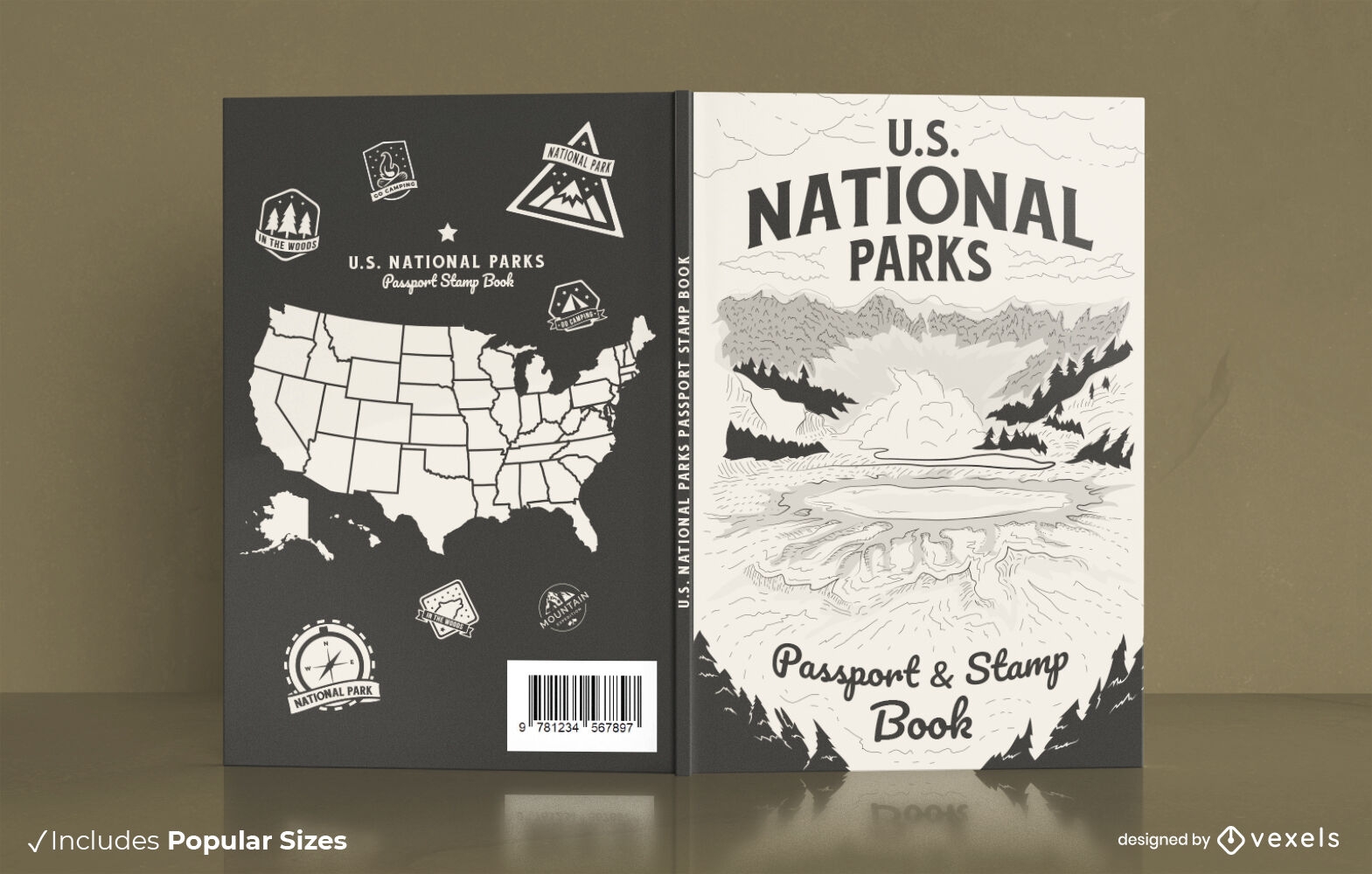
American national parks book cover design
Choose a folder
All favorites
Create new
Save
American national parks book cover design
Print ready
for Merch
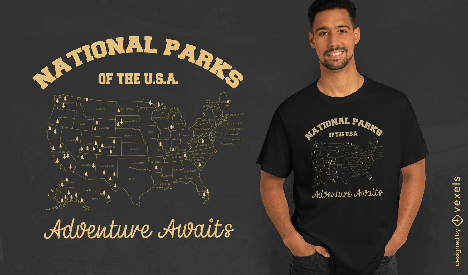
National parks adventure t-shirt design
Choose a folder
All favorites
Create new
Save
National parks adventure t-shirt design
Premium
The state of tennessee is shown PNG Design
Choose a folder
All favorites
Create new
Save
The state of tennessee is shown PNG Design
Premium
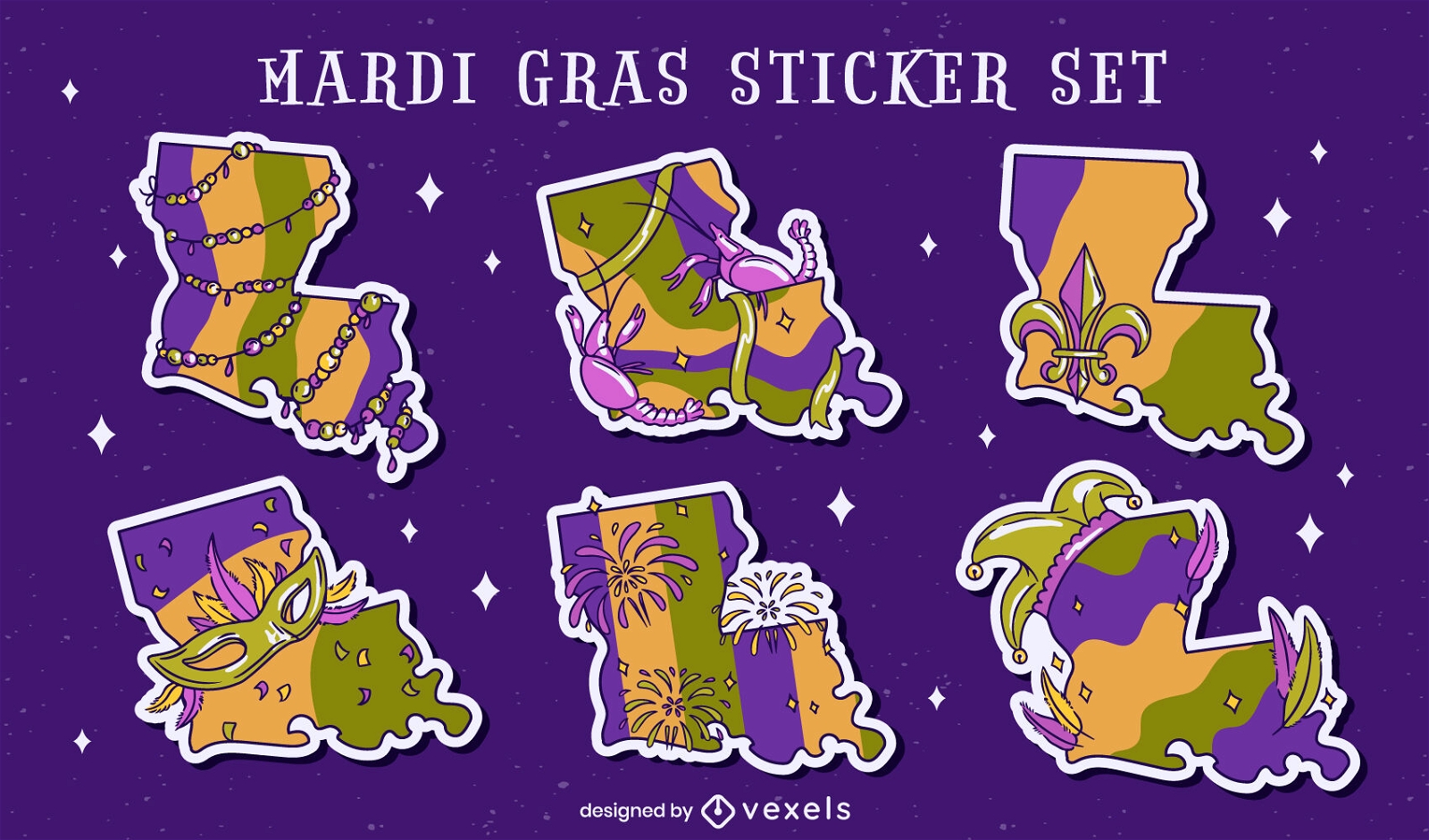
Louisiana state Mardi Gras set
Choose a folder
All favorites
Create new
Save
Louisiana state Mardi Gras set
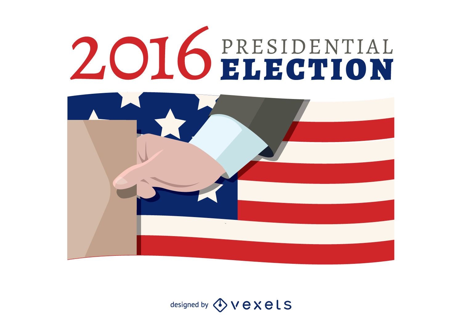
2016 election voting banner
Choose a folder
All favorites
Create new
Save
2016 election voting banner
Premium
Stylized silhouette of a state outline PNG Design
Choose a folder
All favorites
Create new
Save
Stylized silhouette of a state outline PNG Design
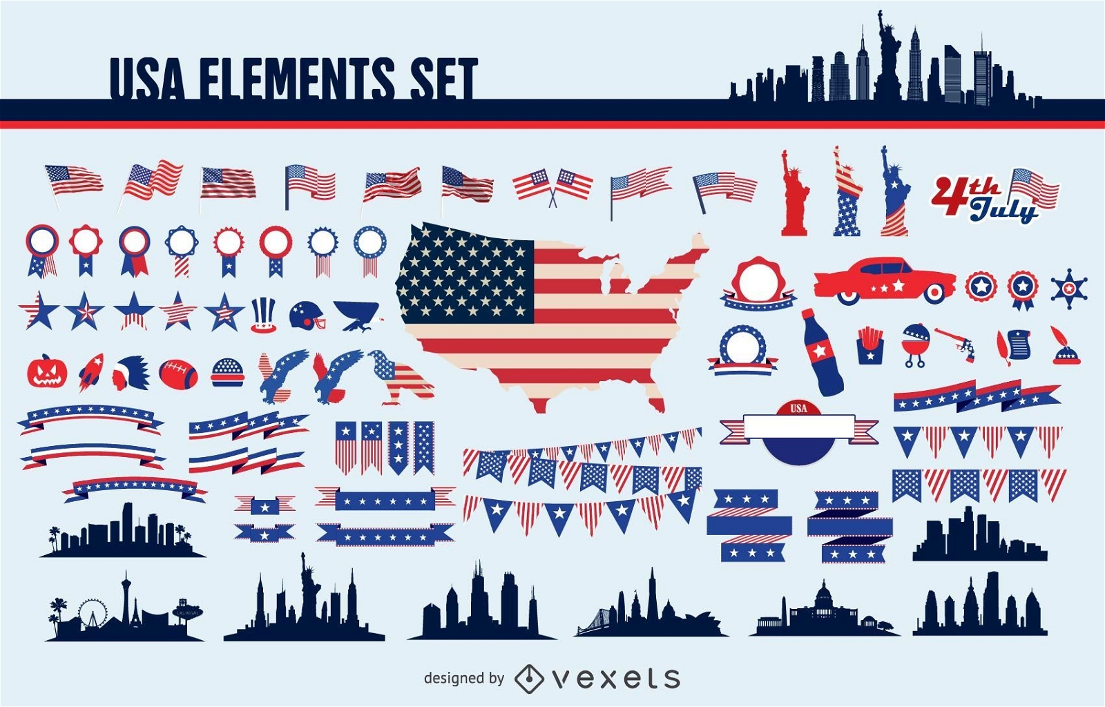
Usa elements set
Choose a folder
All favorites
Create new
Save
Usa elements set
Print ready
for Merch
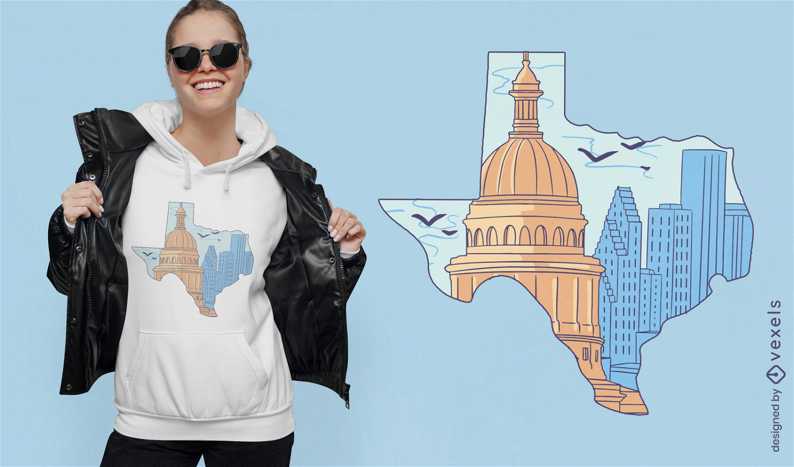
Texas silhouette with buildings t-shirt design
Choose a folder
All favorites
Create new
Save
Texas silhouette with buildings t-shirt design
Print ready
for Merch
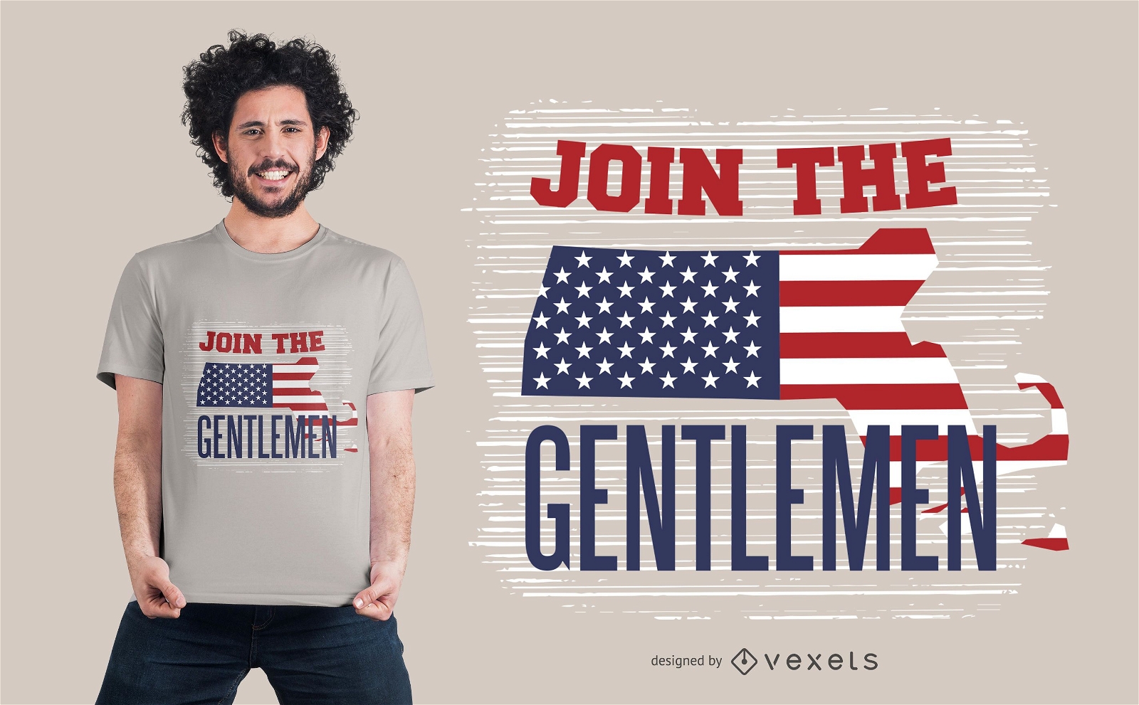
American gentlemen t-shirt design
Choose a folder
All favorites
Create new
Save
American gentlemen t-shirt design
Boost Your Business
With The Leading Graphic Platform For Merch.
SEE PLANS
of 2
prev page
next page