Design Library
New Merch Designs
T-Shirts
Vectors
Trending Merch Designs
PNGs & SVGs
Mockups
T-Shirt PSD Templates
Explore Designs
KDP Designs
Posters
Mugs
Phone Cases
Tote Bags
Pillows
Design Tools
Merch Designer
New!
Mockup Generator
AI Design Generator
Image Vectorizer
Quote Generator
T-Shirt Maker (Old)
Resources
Merch Digest
Blog
Help Center
Learn About Merch
Feedback
Corporate Solutions
Enterprise
API Access
Design Studio
Bulk Design Production
Pricing
Loading...
Sign Up
Login
All
mapa
Design Library
New Merch Designs
T-Shirts
Vectors
Trending Merch Designs
PNGs & SVGs
Mockups
T-Shirt PSD Templates
Explore Designs
KDP Designs
Posters
Mugs
Phone Cases
Tote Bags
Pillows
Design Tools
Merch Designer
New!
Mockup Generator
AI Design Generator
Image Vectorizer
Quote Generator
T-Shirt Maker (Old)
Resources
Merch Digest
Blog
Help Center
Learn About Merch
Feedback
Corporate Solutions
Enterprise
API Access
Design Studio
Bulk Design Production
PLANS
All
mapa
2001 mapa designs graphics for t-shirt and print on demand merch
Download mapa t-shirt designs and other merch graphics like book covers, phone cases, tote bags and more.
Sort by
Most relevant
Sponsored results by
Get 15% off with code: VEXELS15
Show more
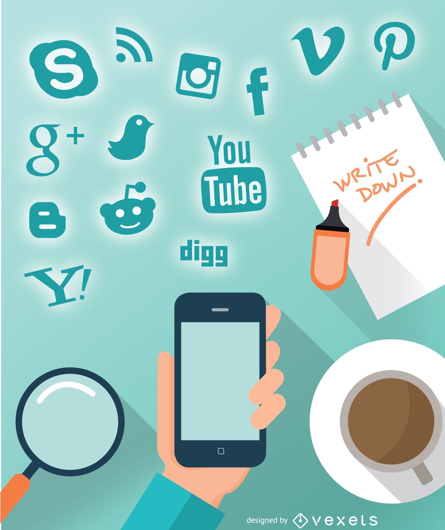
Smartphone social design
Choose a folder
All favorites
Create new
Save
Smartphone social design
Premium
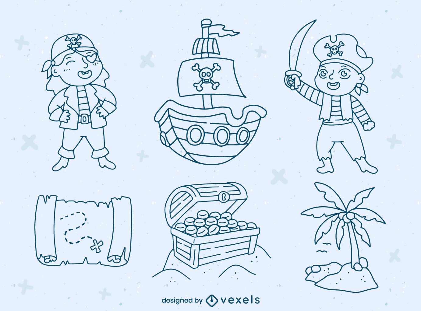
Pirate kids characters and elements set
Choose a folder
All favorites
Create new
Save
Pirate kids characters and elements set
Premium
Stroke compass instrument PNG Design
Choose a folder
All favorites
Create new
Save
Stroke compass instrument PNG Design
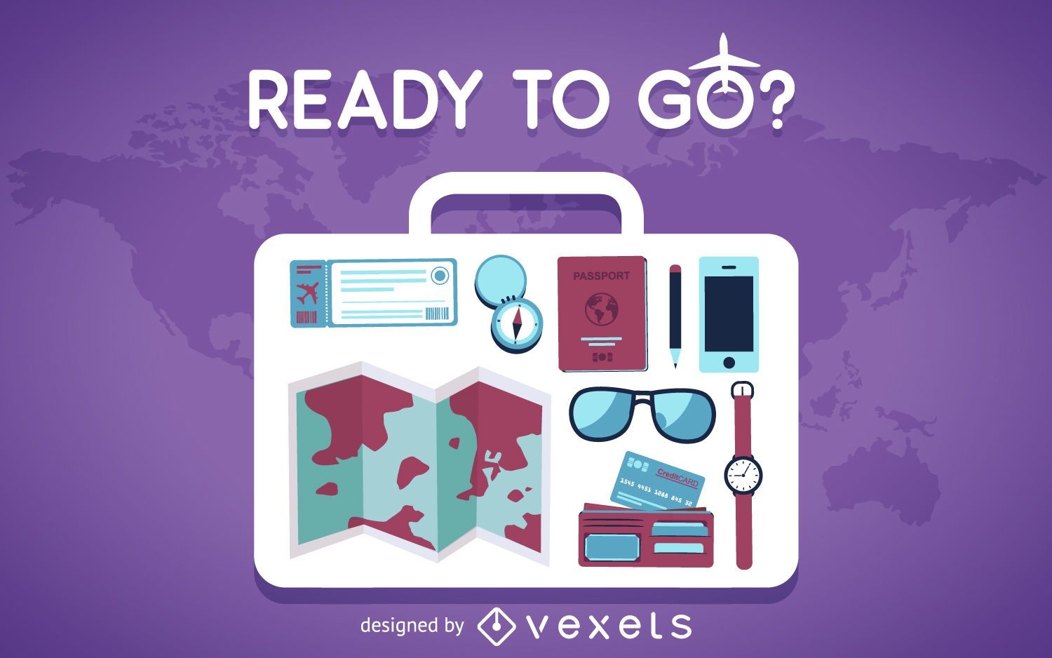
Flat travel elements background
Choose a folder
All favorites
Create new
Save
Flat travel elements background
Travel Banner - Bus - Airplane - Ferry
Choose a folder
All favorites
Create new
Save
Travel Banner - Bus - Airplane - Ferry
Real estate marker logo
Choose a folder
All favorites
Create new
Save
Real estate marker logo
Arrow Buttons Set
Choose a folder
All favorites
Create new
Save
Arrow Buttons Set
Print ready
for Merch
Mississippi state t-shirt design
Choose a folder
All favorites
Create new
Save
Mississippi state t-shirt design
Biotechnology logo template
Choose a folder
All favorites
Create new
Save
Biotechnology logo template
USA colors ribbons set
Choose a folder
All favorites
Create new
Save
USA colors ribbons set
Premium
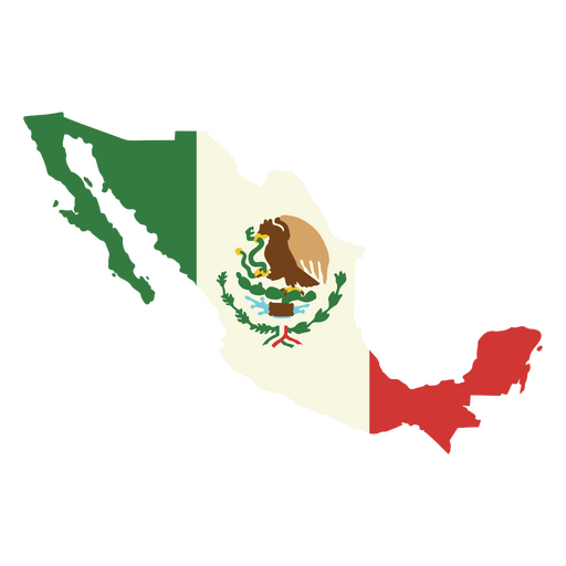
The flag of mexico PNG Design
Choose a folder
All favorites
Create new
Save
The flag of mexico PNG Design
Premium
Leo sign in the horoscope PNG Design
Choose a folder
All favorites
Create new
Save
Leo sign in the horoscope PNG Design
Premium
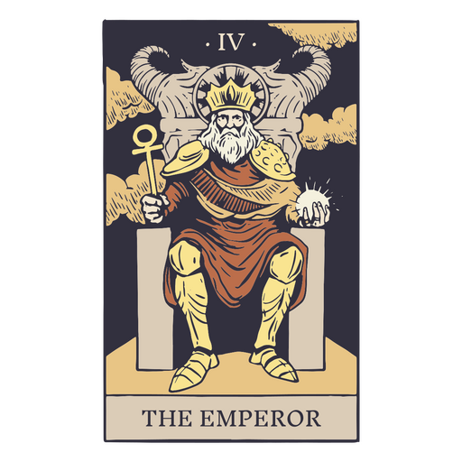
The emperor tarot card PNG Design
Choose a folder
All favorites
Create new
Save
The emperor tarot card PNG Design
Premium
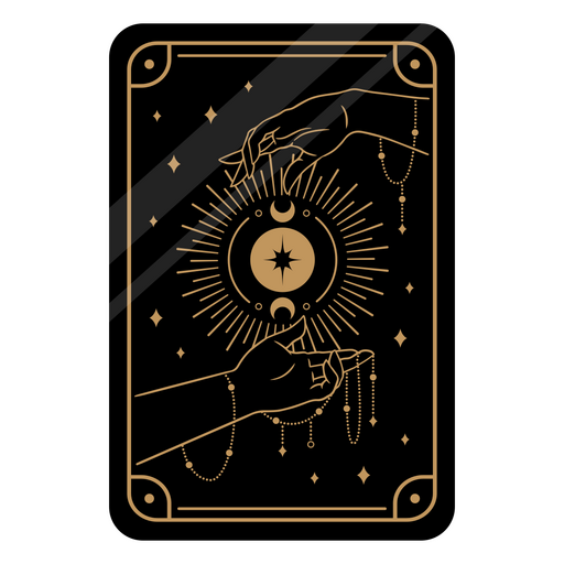
Black tarot card PNG Design
Choose a folder
All favorites
Create new
Save
Black tarot card PNG Design
Editable text
Print ready
for Merch
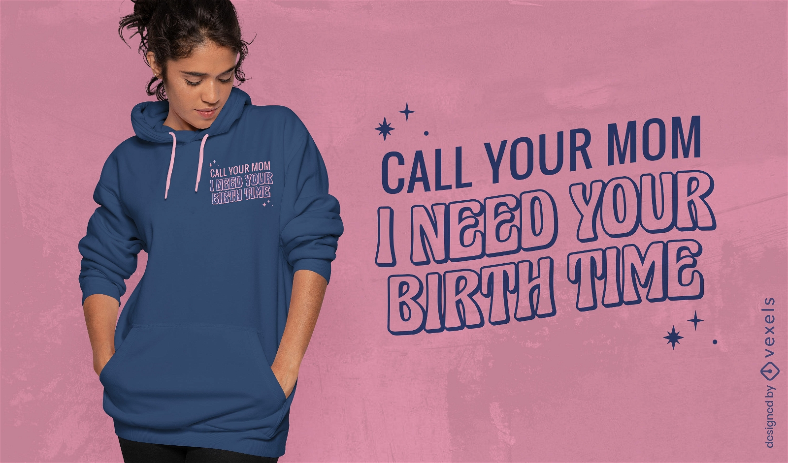
Birth time quote t-shirt design
Choose a folder
All favorites
Create new
Save
Birth time quote t-shirt design
Premium
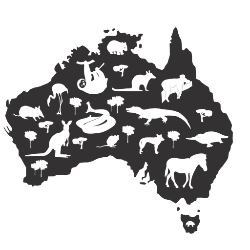
Australia silhouette PNG Design
Choose a folder
All favorites
Create new
Save
Australia silhouette PNG Design
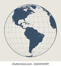
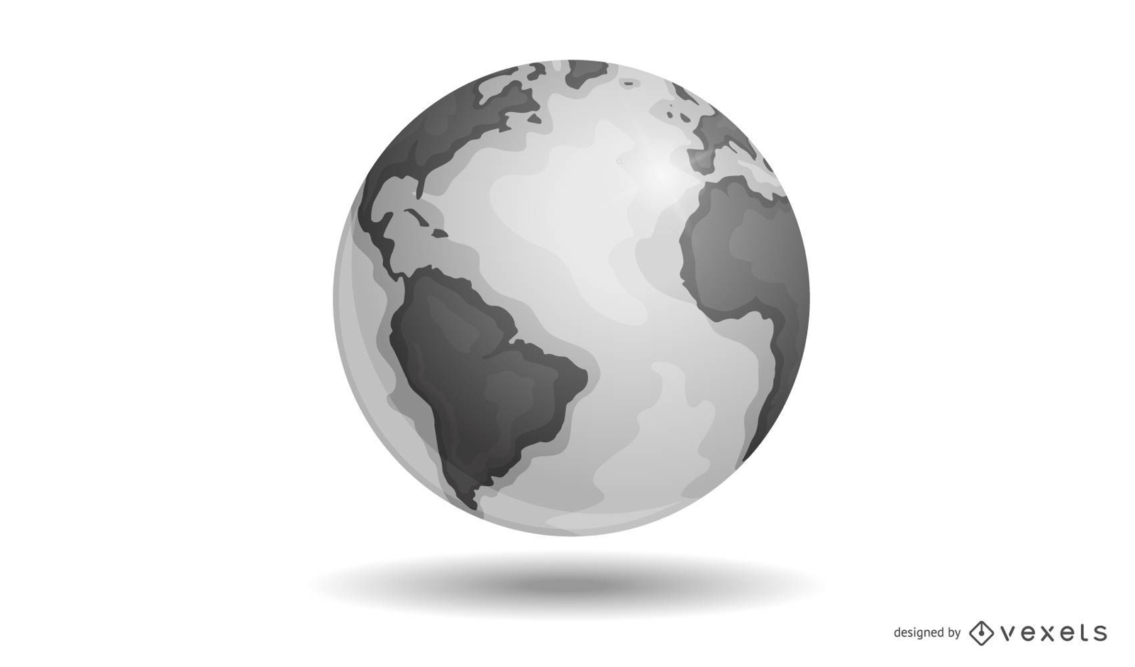
Vector Earth
Choose a folder
All favorites
Create new
Save
Vector Earth
Editable text
Premium
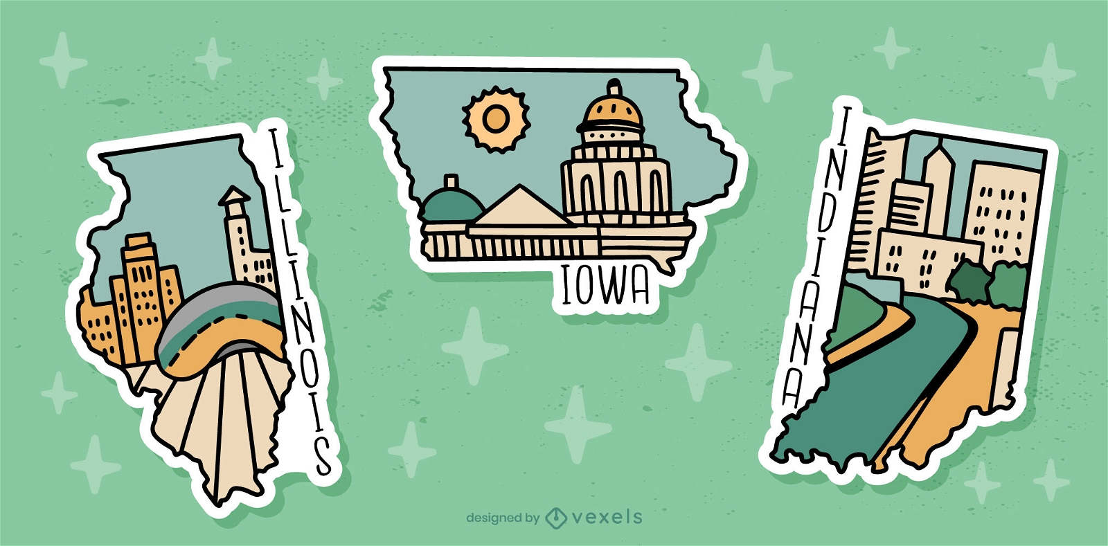
US state sticker set
Choose a folder
All favorites
Create new
Save
US state sticker set
Editable text
Print ready
Premium
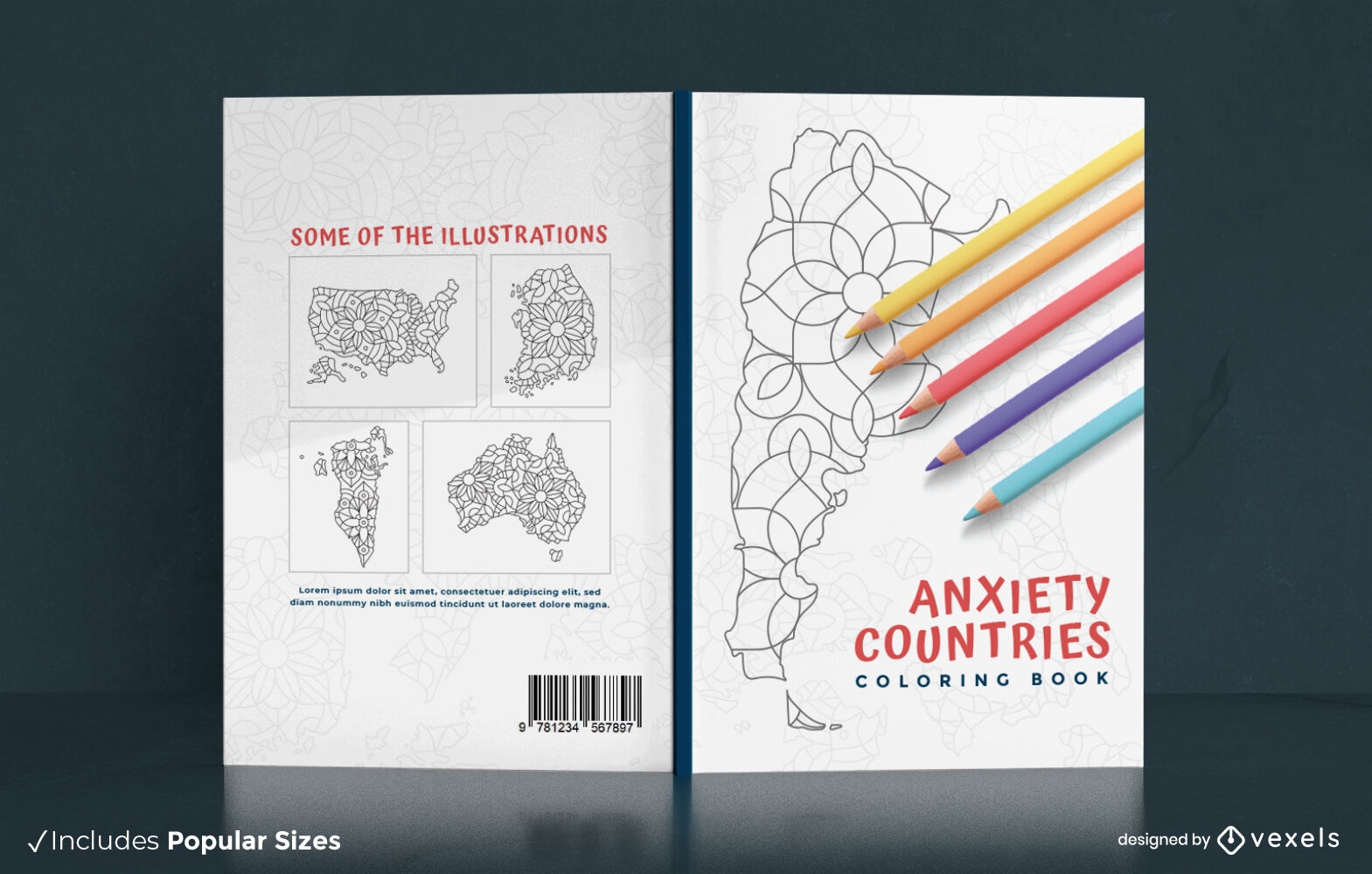
Anxiety countries coloring book cover design
Choose a folder
All favorites
Create new
Save
Anxiety countries coloring book cover design
Premium
Globe circle icon PNG Design
Choose a folder
All favorites
Create new
Save
Globe circle icon PNG Design
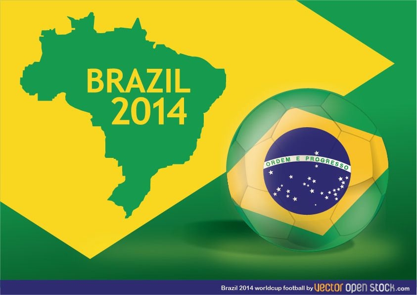
Brazil 2014 Worldcup football
Choose a folder
All favorites
Create new
Save
Brazil 2014 Worldcup football
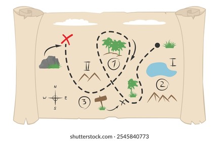
Old Paper Scroll Design
Choose a folder
All favorites
Create new
Save
Old Paper Scroll Design
Heart love quote cut out PNG Design
Choose a folder
All favorites
Create new
Save
Heart love quote cut out PNG Design
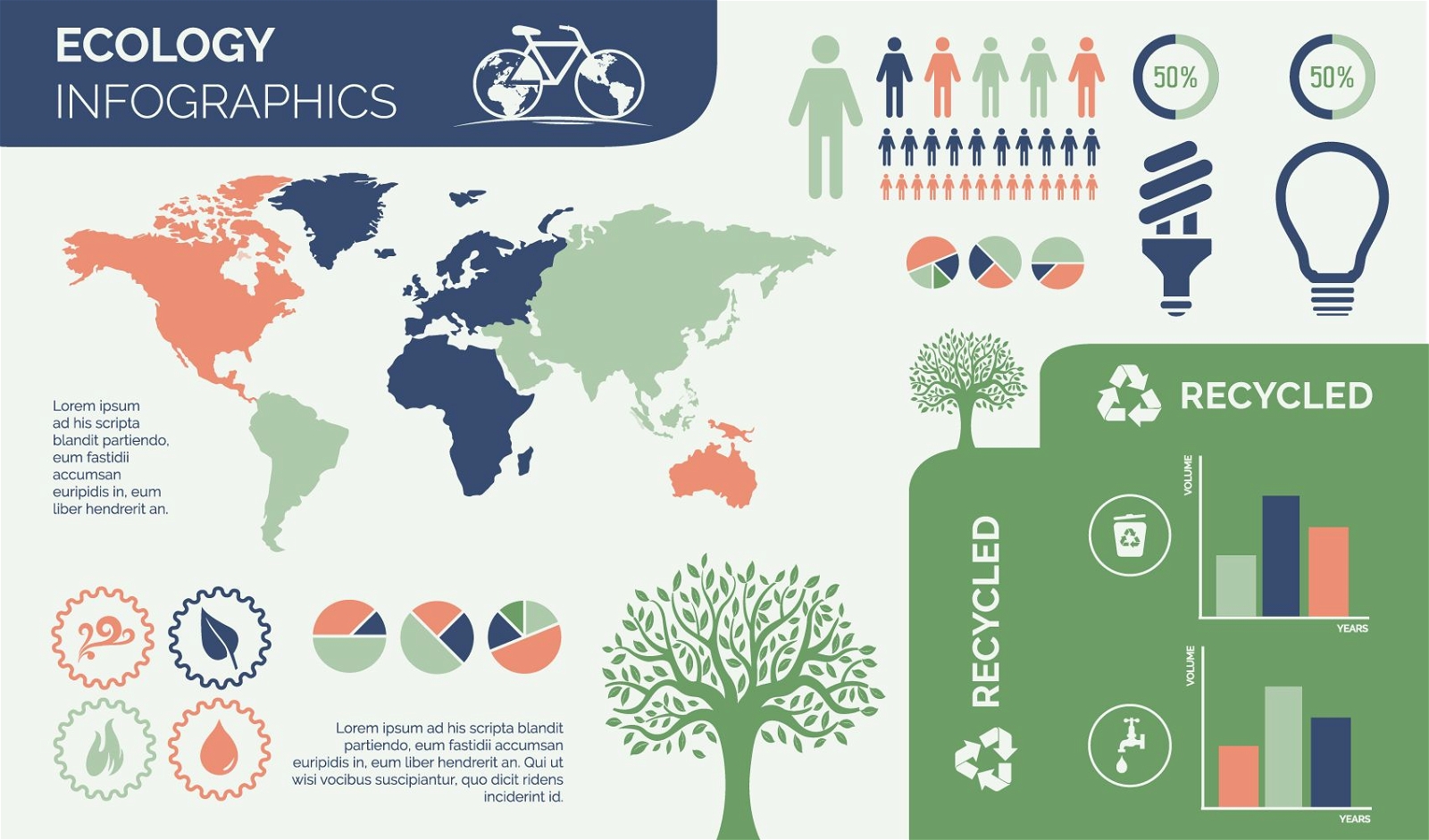
Environmental Ecology Infographic Design
Choose a folder
All favorites
Create new
Save
Environmental Ecology Infographic Design
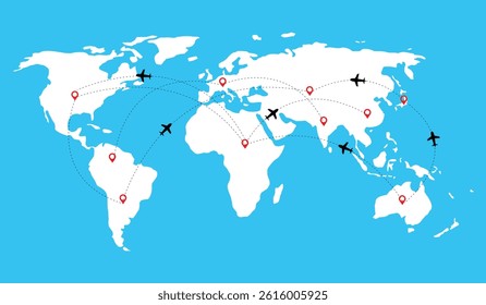
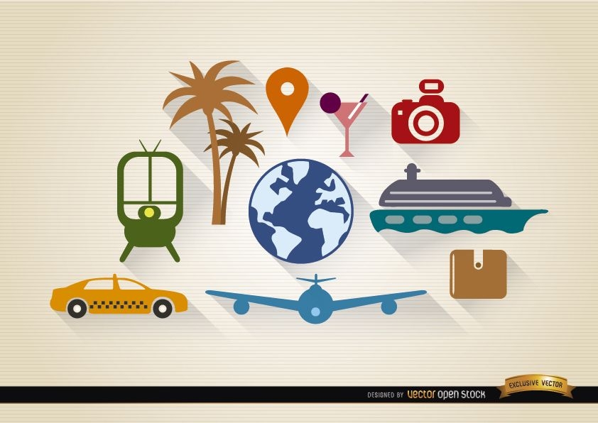
10 Travel tourism elements set
Choose a folder
All favorites
Create new
Save
10 Travel tourism elements set
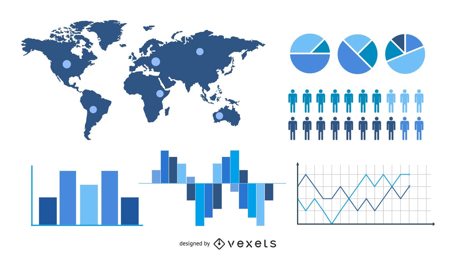
Statistic & Analytical Infographic Set
Choose a folder
All favorites
Create new
Save
Statistic & Analytical Infographic Set
Premium
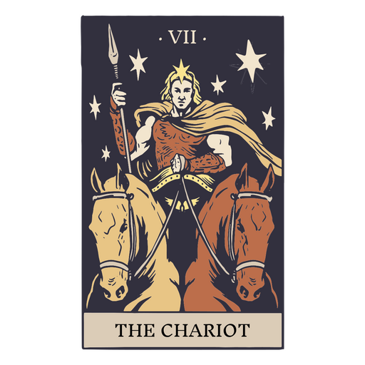
The chariot tarot card PNG Design
Choose a folder
All favorites
Create new
Save
The chariot tarot card PNG Design
Premium
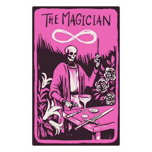
The Magician card in a skeleton-themed tarot PNG Design
Choose a folder
All favorites
Create new
Save
The Magician card in a skeleton-themed tarot PNG Design
Road stroke icon PNG Design
Choose a folder
All favorites
Create new
Save
Road stroke icon PNG Design
Premium
Geography globe stroke school icon PNG Design
Choose a folder
All favorites
Create new
Save
Geography globe stroke school icon PNG Design
Premium
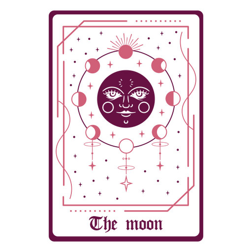
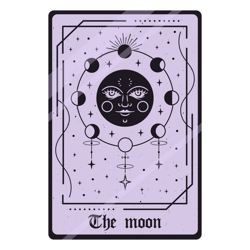
The Moon in a tarot card PNG Design
Choose a folder
All favorites
Create new
Save
The Moon in a tarot card PNG Design
Thin line white social media icon collection
Choose a folder
All favorites
Create new
Save
Thin line white social media icon collection
Glossy Realistic Education Icon Pack
Choose a folder
All favorites
Create new
Save
Glossy Realistic Education Icon Pack
Print ready
for Merch
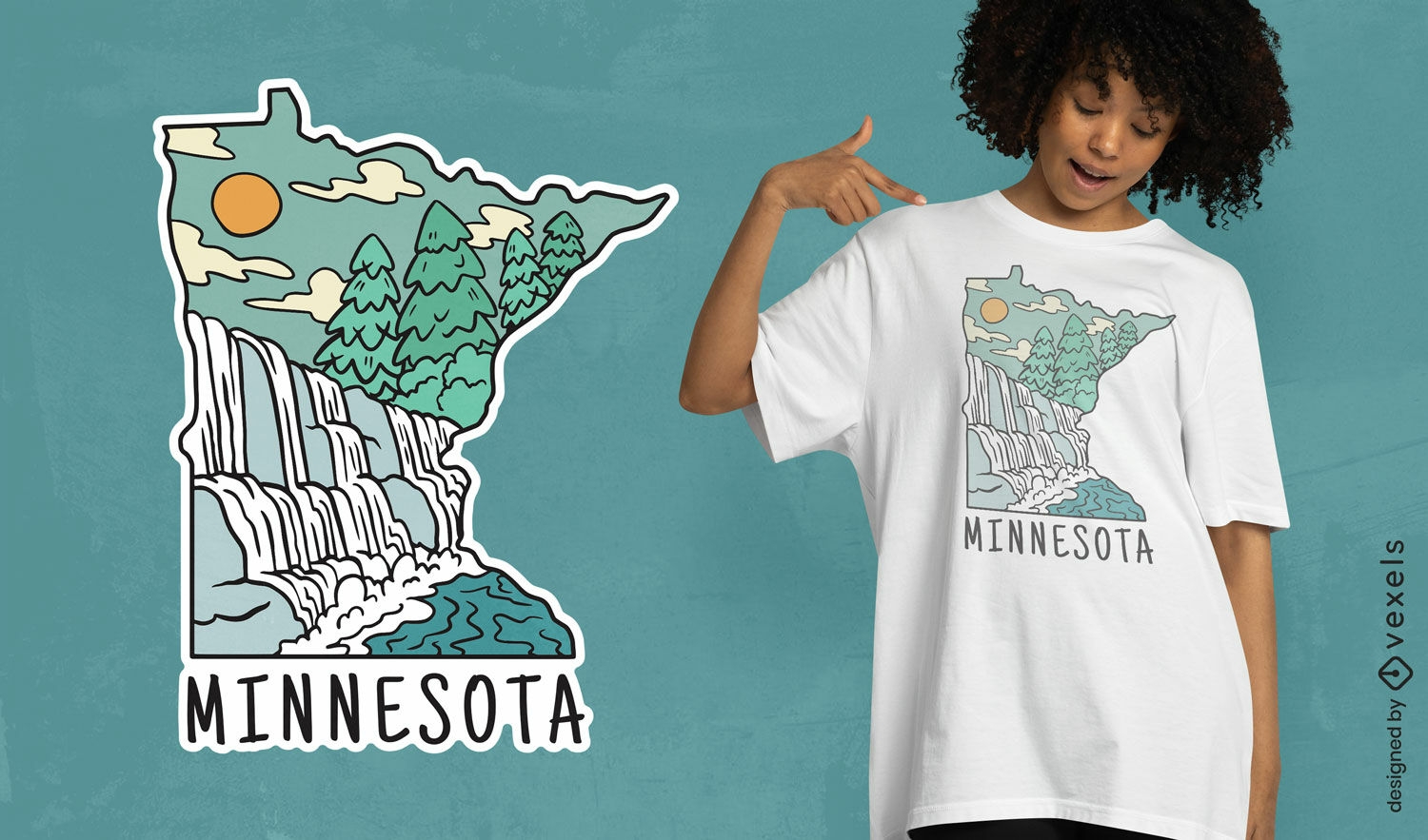
Minnesota landmarks t-shirt design
Choose a folder
All favorites
Create new
Save
Minnesota landmarks t-shirt design
Premium
Decorative tarot design PNG Design
Choose a folder
All favorites
Create new
Save
Decorative tarot design PNG Design
Premium
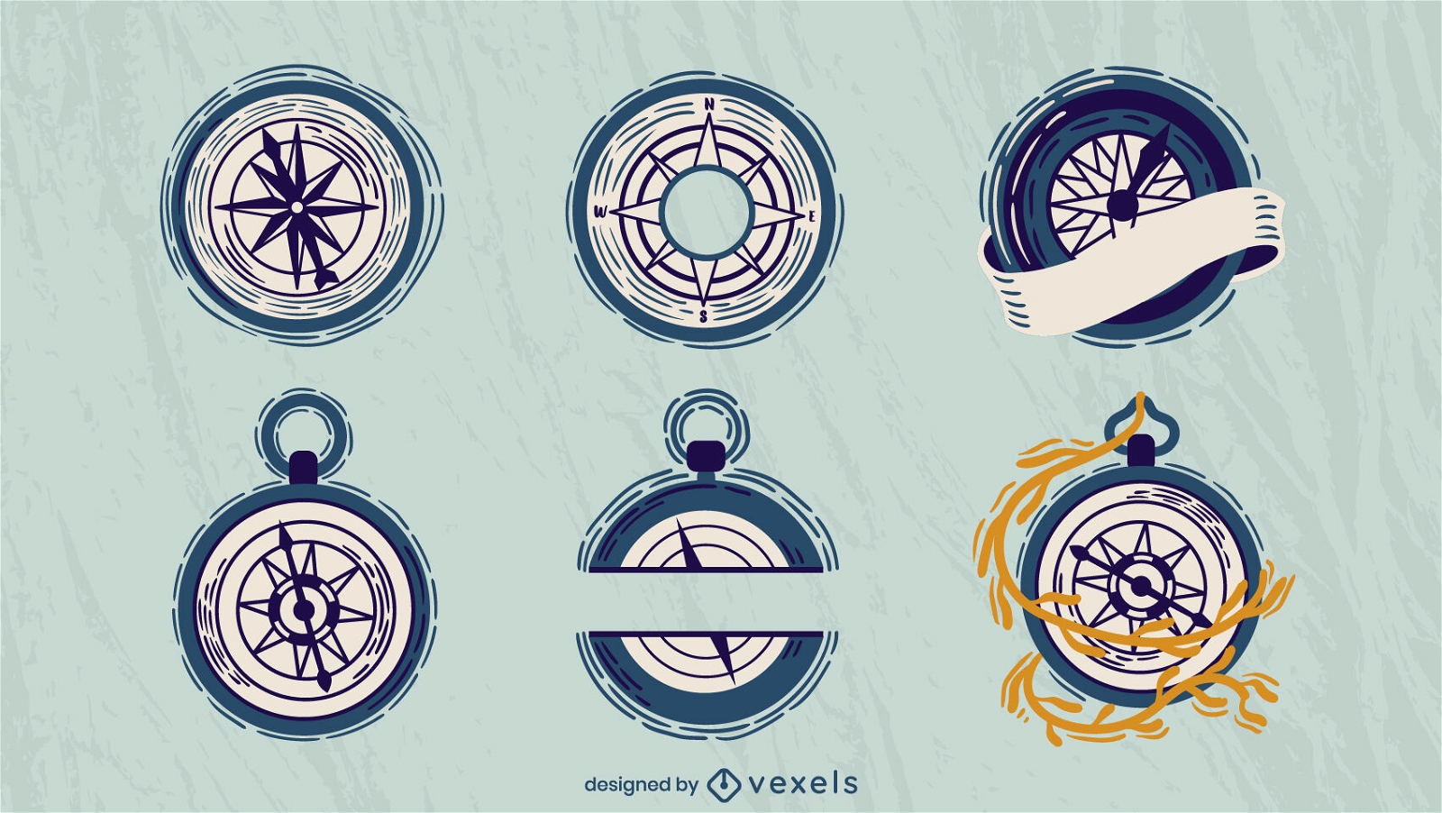
Sailing compasses set flat
Choose a folder
All favorites
Create new
Save
Sailing compasses set flat
Premium
Purple fortune tarot PNG Design
Choose a folder
All favorites
Create new
Save
Purple fortune tarot PNG Design
Flat filled stroke compass PNG Design
Choose a folder
All favorites
Create new
Save
Flat filled stroke compass PNG Design
Premium
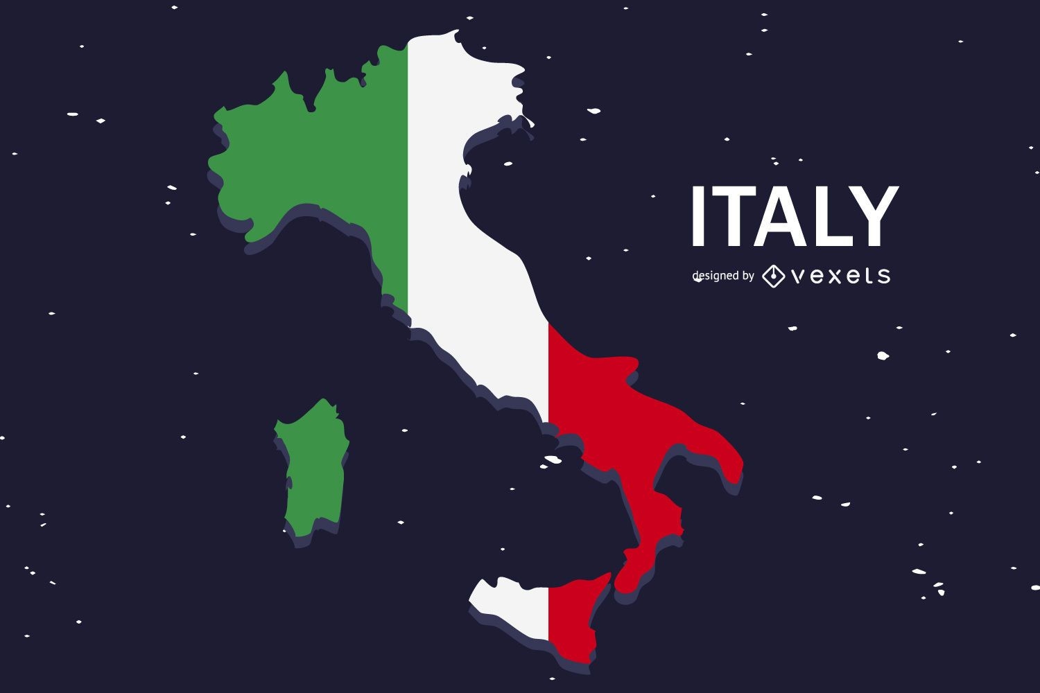
Italy Flag Flat Country Design
Choose a folder
All favorites
Create new
Save
Italy Flag Flat Country Design
Premium
Geography globe school illustration PNG Design
Choose a folder
All favorites
Create new
Save
Geography globe school illustration PNG Design
Renewable energy logo template
Choose a folder
All favorites
Create new
Save
Renewable energy logo template
Flat travel background with text
Choose a folder
All favorites
Create new
Save
Flat travel background with text
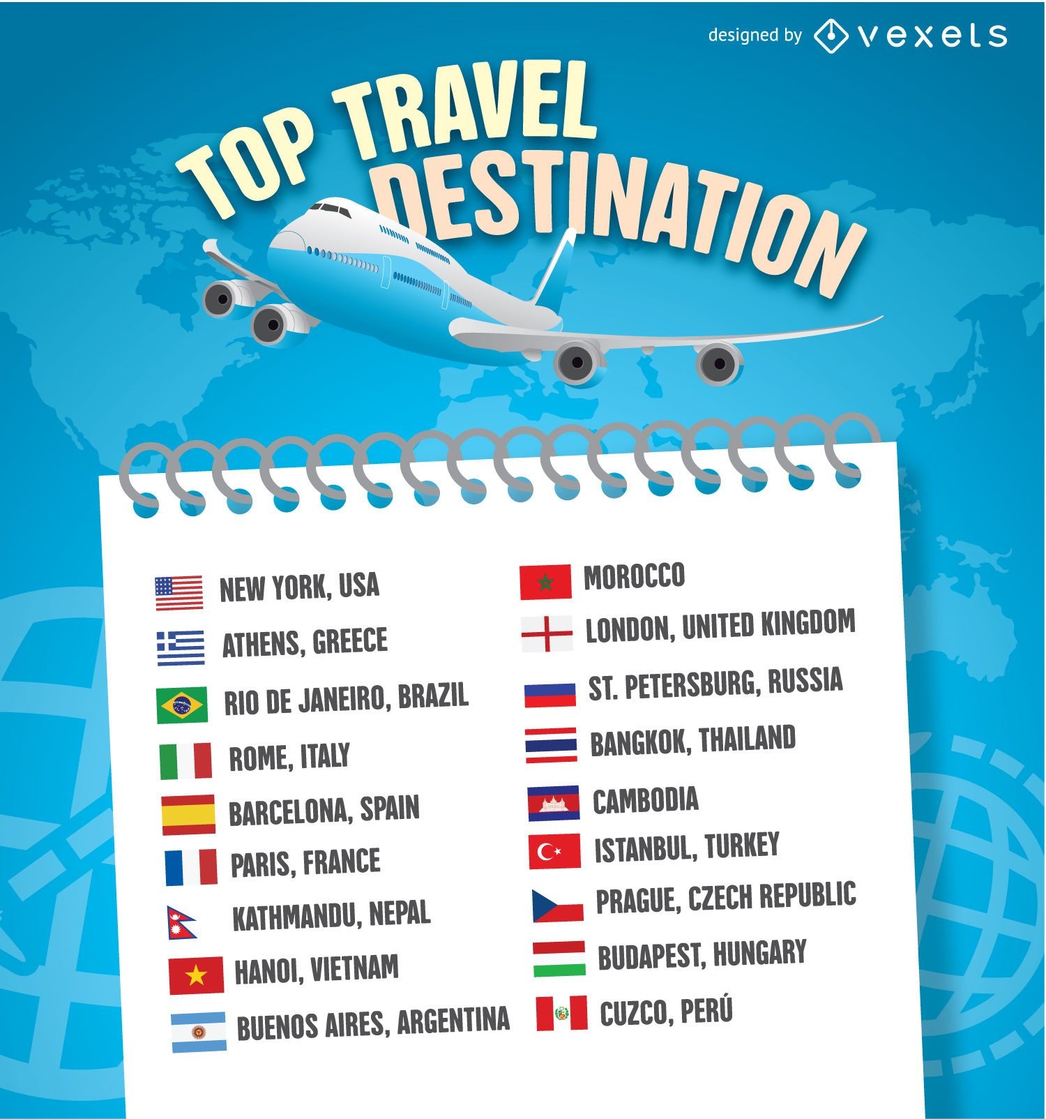
2016 Travel destination list template
Choose a folder
All favorites
Create new
Save
2016 Travel destination list template
Premium
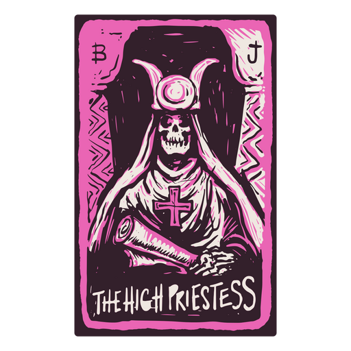
The High Priestess card in a skeleton-themed tarot PNG Design
Choose a folder
All favorites
Create new
Save
The High Priestess card in a skeleton-themed tarot PNG Design
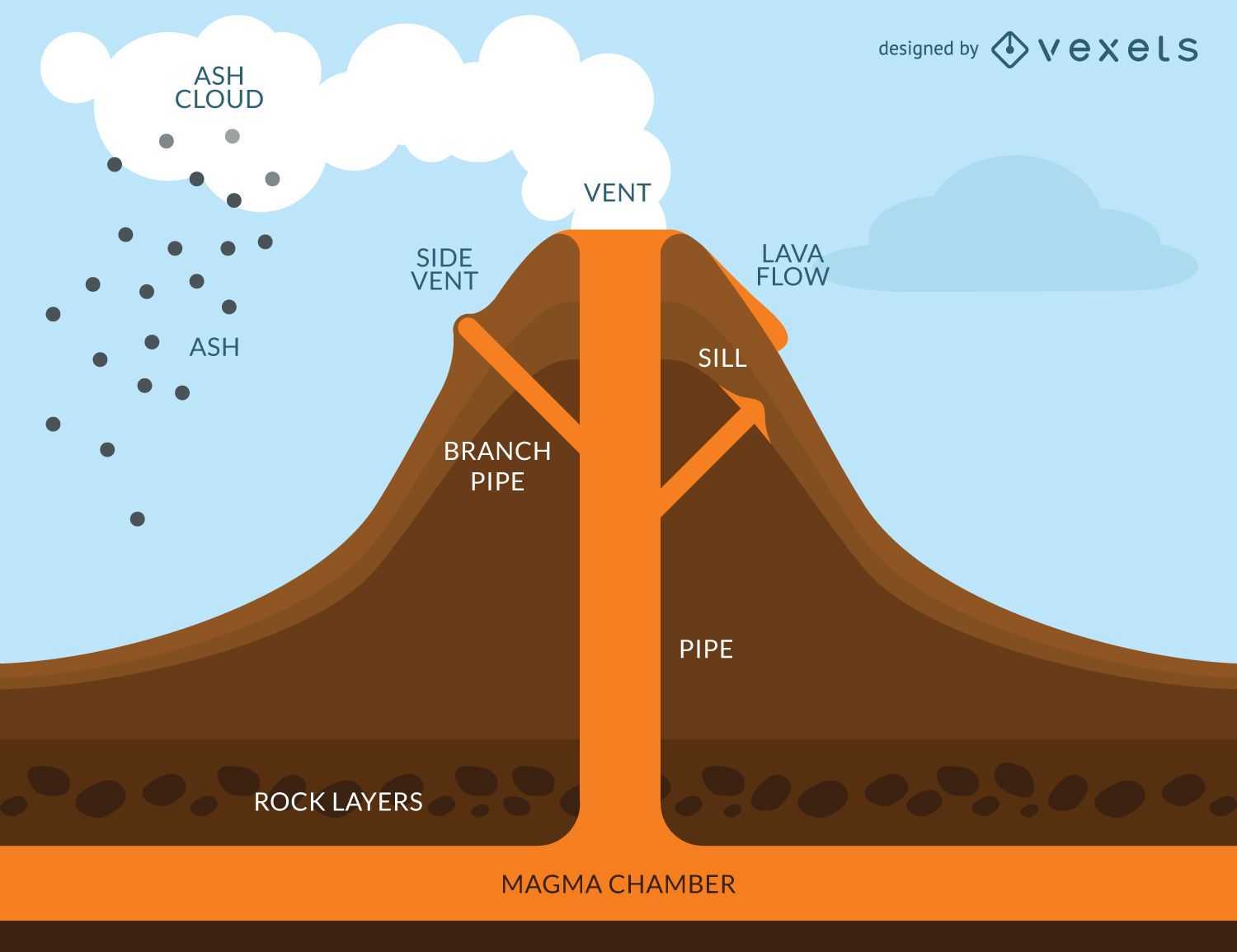
Volcano eruption infographic
Choose a folder
All favorites
Create new
Save
Volcano eruption infographic
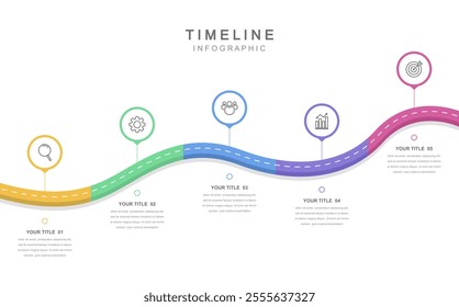
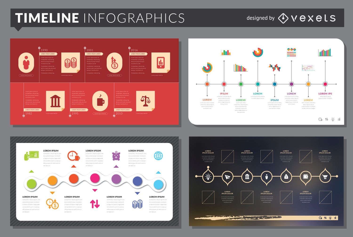
Timeline infographic template set
Choose a folder
All favorites
Create new
Save
Timeline infographic template set
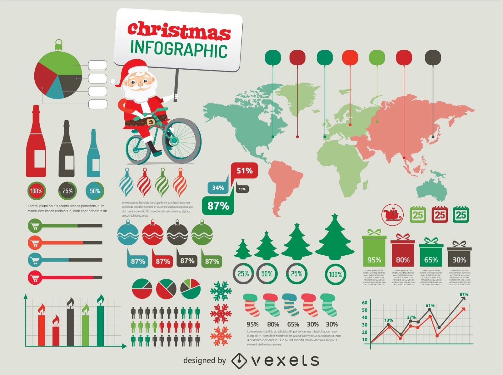
Christmas Infographic elements
Choose a folder
All favorites
Create new
Save
Christmas Infographic elements
Travel Icons colorful drop shadow
Choose a folder
All favorites
Create new
Save
Travel Icons colorful drop shadow
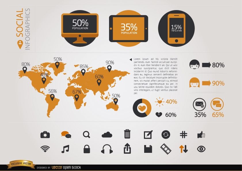
Social infographics Elements
Choose a folder
All favorites
Create new
Save
Social infographics Elements
Print ready
for Merch
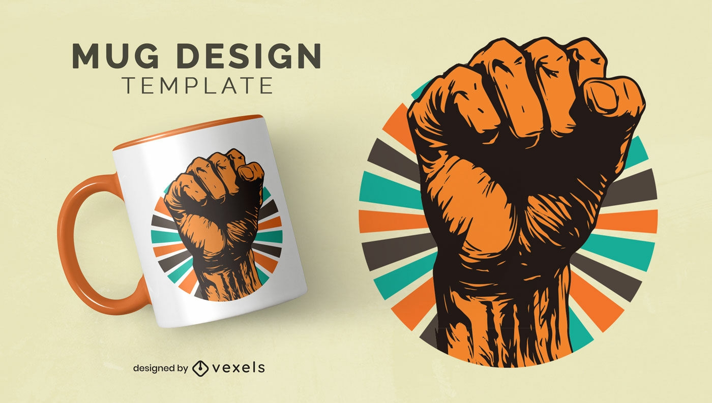
Black history month strength mug design
Choose a folder
All favorites
Create new
Save
Black history month strength mug design
Boost Your Business
With The Leading Graphic Platform For Merch.
SEE PLANS
Next
of 41
prev page
next page