Design Library
New Merch Designs
T-Shirts
Vectors
Trending Merch Designs
PNGs & SVGs
Mockups
T-Shirt PSD Templates
Explore Designs
KDP Designs
Posters
Mugs
Phone Cases
Tote Bags
Pillows
Design Tools
Merch Designer
New!
Mockup Generator
AI Design Generator
Image Vectorizer
Quote Generator
T-Shirt Maker (Old)
Resources
Merch Digest
Blog
Help Center
Learn About Merch
Feedback
Corporate Solutions
Enterprise
API Access
Design Studio
Bulk Design Production
Pricing
Loading...
Sign Up
Login
All
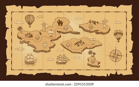
mapa
Design Library
New Merch Designs
T-Shirts
Vectors
Trending Merch Designs
PNGs & SVGs
Mockups
T-Shirt PSD Templates
Explore Designs
KDP Designs
Posters
Mugs
Phone Cases
Tote Bags
Pillows
Design Tools
Merch Designer
New!
Mockup Generator
AI Design Generator
Image Vectorizer
Quote Generator
T-Shirt Maker (Old)
Resources
Merch Digest
Blog
Help Center
Learn About Merch
Feedback
Corporate Solutions
Enterprise
API Access
Design Studio
Bulk Design Production
PLANS
All
mapa
2001 mapa designs graphics for t-shirt and print on demand merch
Download mapa t-shirt designs and other merch graphics like book covers, phone cases, tote bags and more.
Sort by
Most relevant
Sponsored results by
Get 15% off with code: VEXELS15
Show more
Premium
Location pin colored stroke icon PNG Design
Choose a folder
All favorites
Create new
Save
Location pin colored stroke icon PNG Design
Earth globe illustration globe PNG Design
Choose a folder
All favorites
Create new
Save
Earth globe illustration globe PNG Design
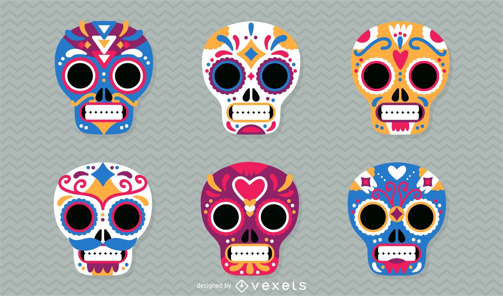
Day of the Dead mexican skulls illustration
Choose a folder
All favorites
Create new
Save
Day of the Dead mexican skulls illustration
Premium
Location pointer circle icon PNG Design
Choose a folder
All favorites
Create new
Save
Location pointer circle icon PNG Design
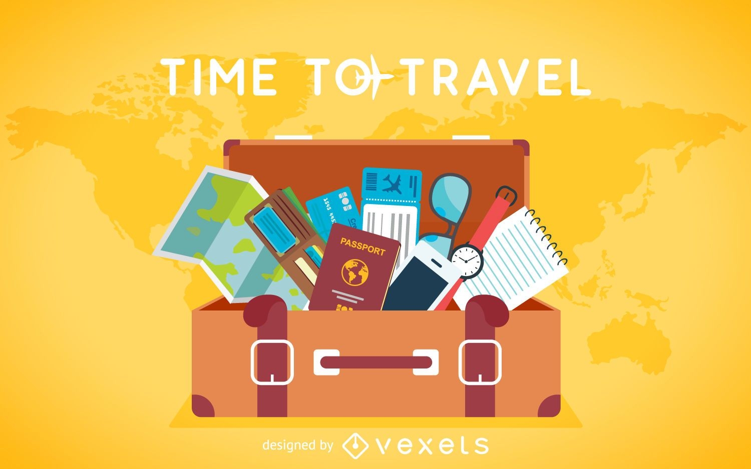
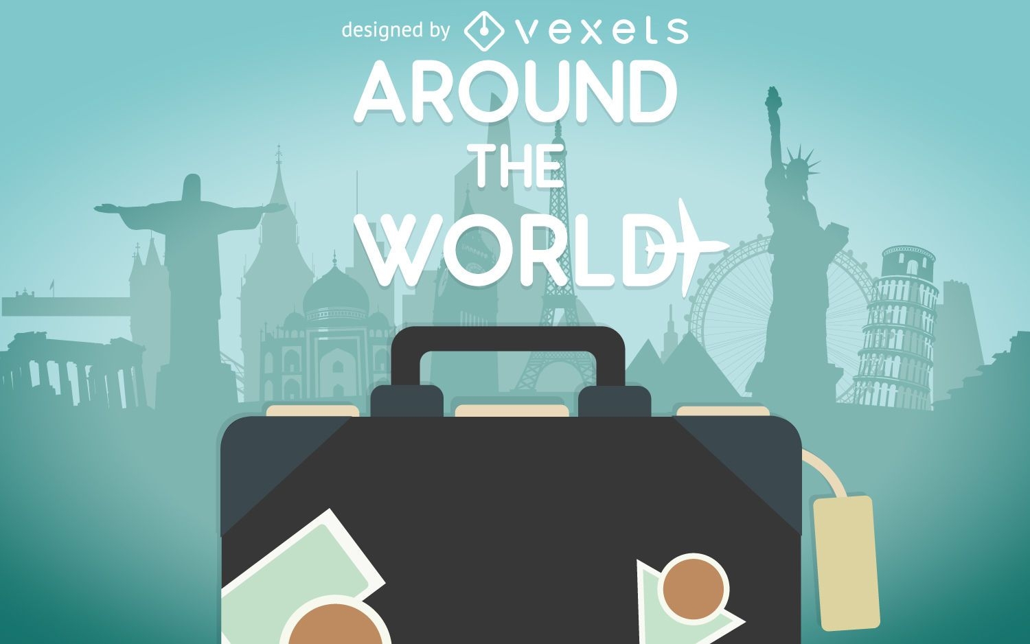
Flat travel luggage background
Choose a folder
All favorites
Create new
Save
Flat travel luggage background
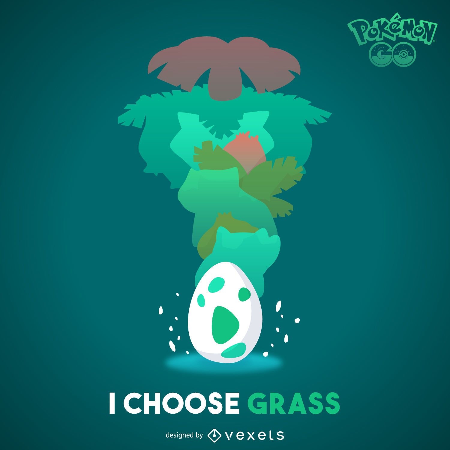
Grass Pokémon illustration
Choose a folder
All favorites
Create new
Save
Grass Pokémon illustration
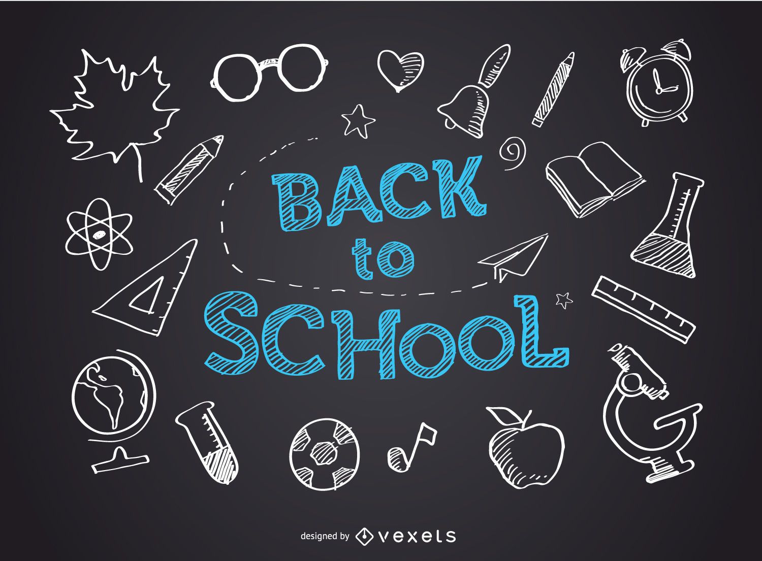
Back to school blackboard
Choose a folder
All favorites
Create new
Save
Back to school blackboard
Premium
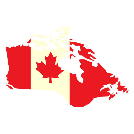
Geographic country with canada flag flat PNG Design
Choose a folder
All favorites
Create new
Save
Geographic country with canada flag flat PNG Design
Premium
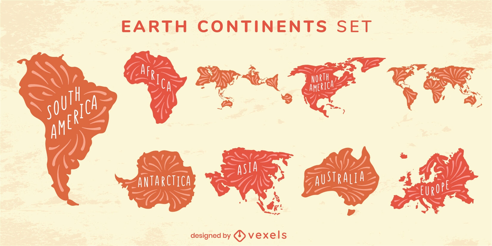
Cool Earth continent flat set
Choose a folder
All favorites
Create new
Save
Cool Earth continent flat set
Filled stroke compass directions from top PNG Design
Choose a folder
All favorites
Create new
Save
Filled stroke compass directions from top PNG Design
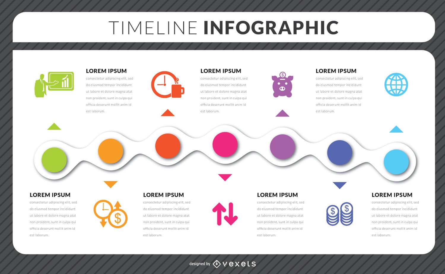
Timeline infographic template
Choose a folder
All favorites
Create new
Save
Timeline infographic template
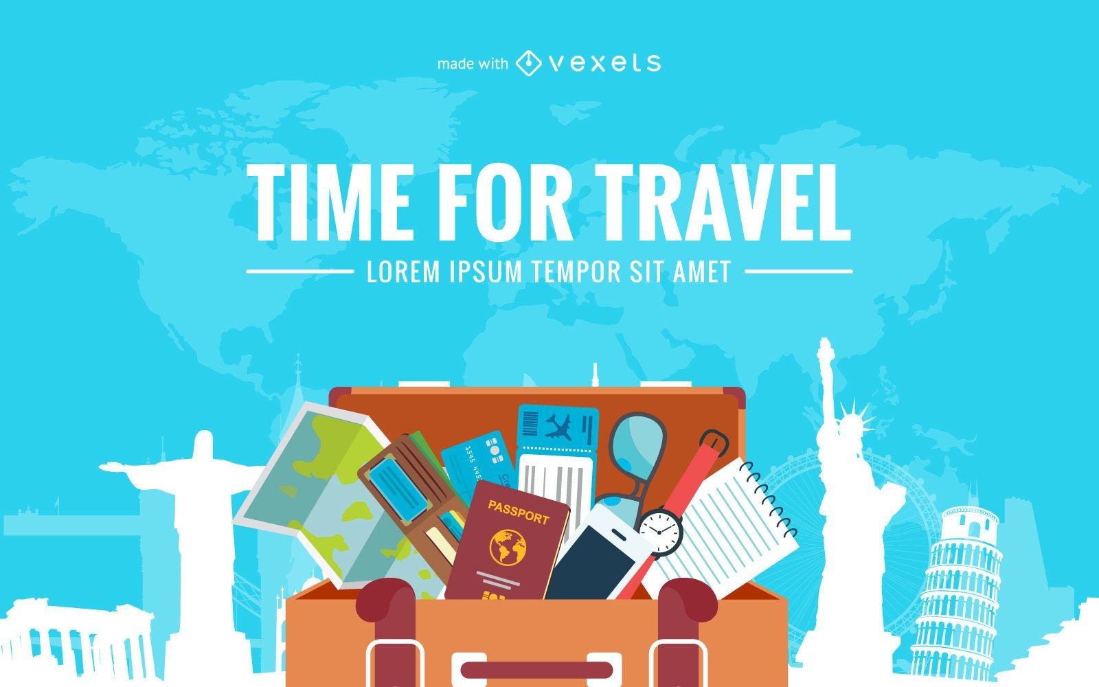
Travel design creator
Choose a folder
All favorites
Create new
Save
Travel design creator
Neon social media icon set
Choose a folder
All favorites
Create new
Save
Neon social media icon set
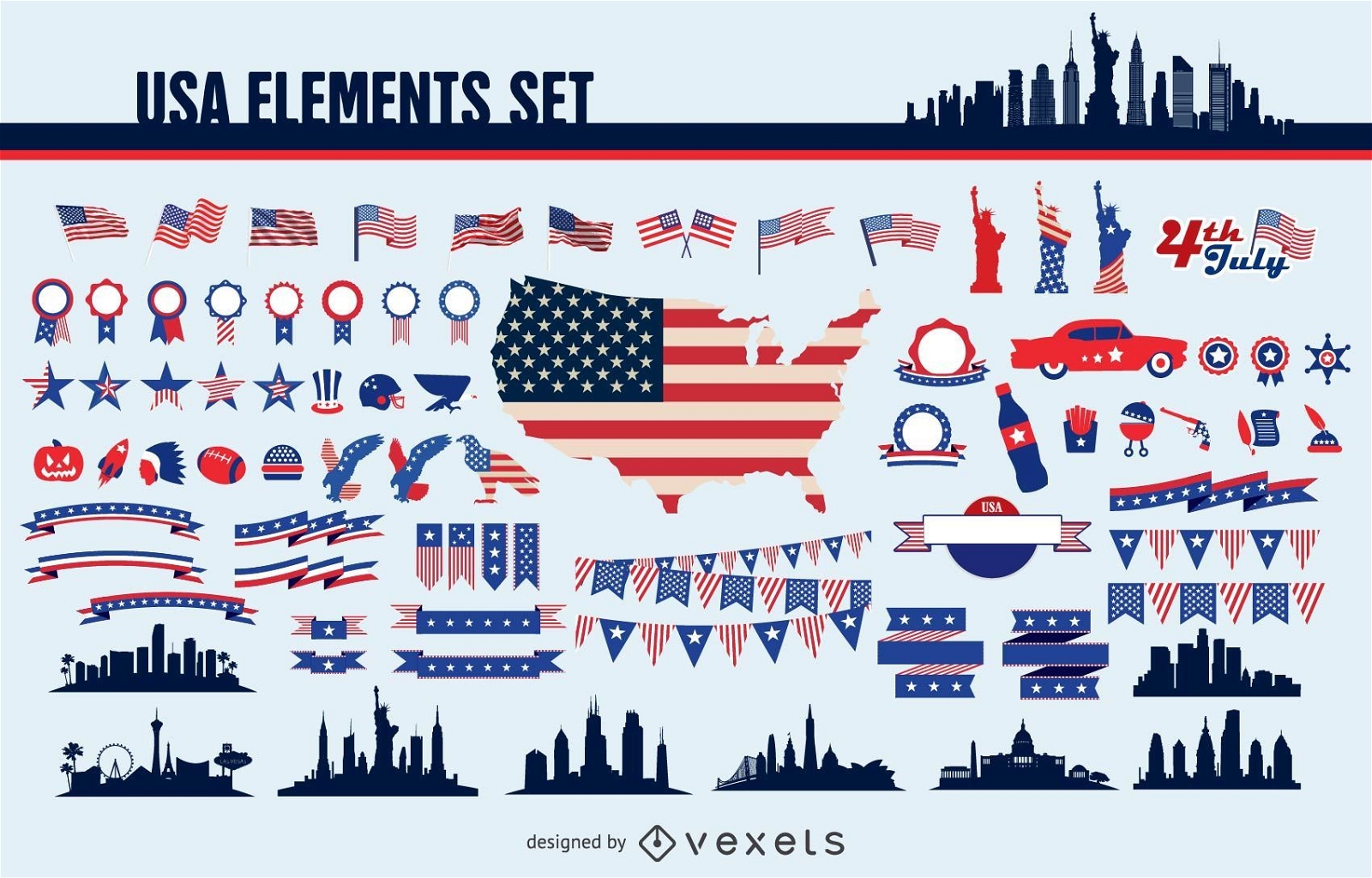
Usa elements set
Choose a folder
All favorites
Create new
Save
Usa elements set
Premium
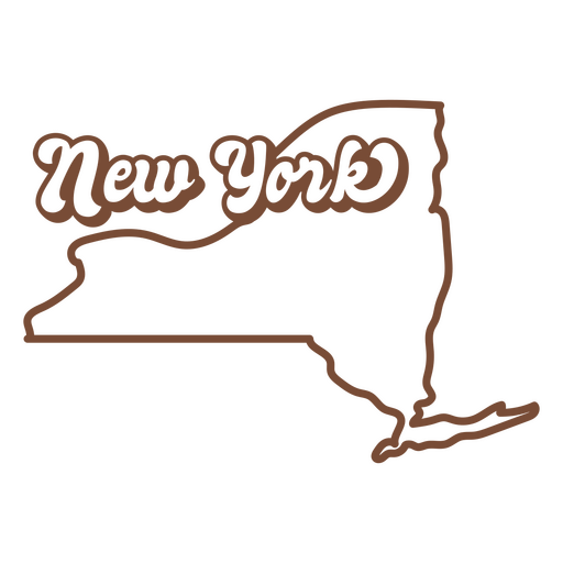
The new york state is shown in brown PNG Design
Choose a folder
All favorites
Create new
Save
The new york state is shown in brown PNG Design
Premium
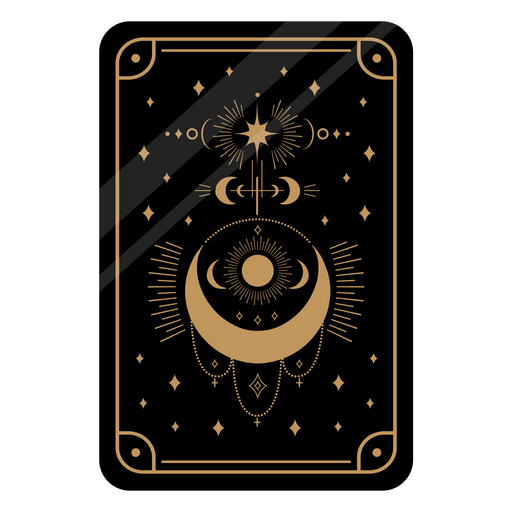
Black tarot card telling the fortune PNG Design
Choose a folder
All favorites
Create new
Save
Black tarot card telling the fortune PNG Design
Premium
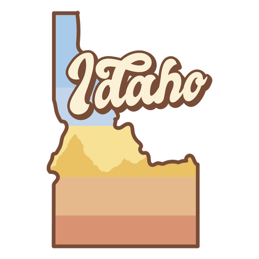
The state of idaho is shown PNG Design
Choose a folder
All favorites
Create new
Save
The state of idaho is shown PNG Design
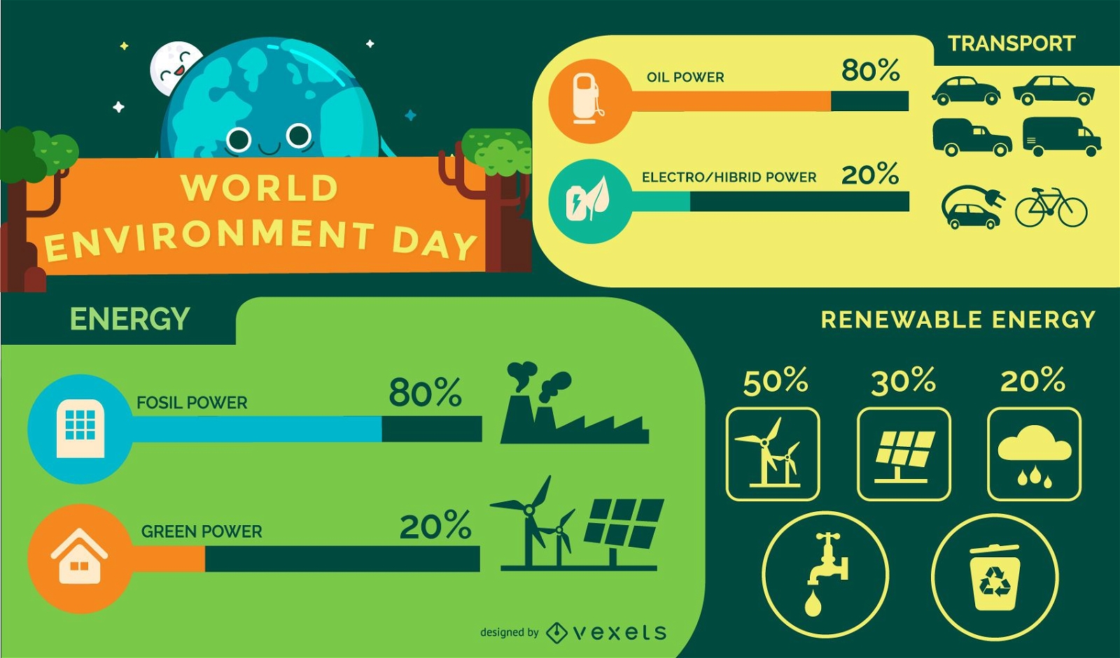
Ecology Environment Infographic
Choose a folder
All favorites
Create new
Save
Ecology Environment Infographic
Location icon isometric PNG Design
Choose a folder
All favorites
Create new
Save
Location icon isometric PNG Design
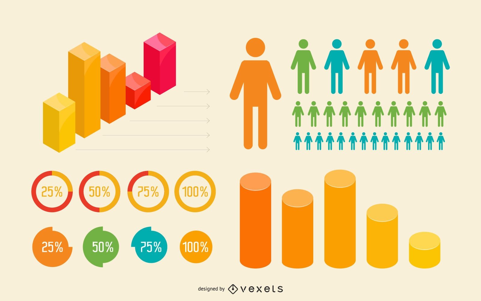
Flat & 3D Colorful Infographic Set
Choose a folder
All favorites
Create new
Save
Flat & 3D Colorful Infographic Set
Grunge World Background
Choose a folder
All favorites
Create new
Save
Grunge World Background
Print ready
for Merch
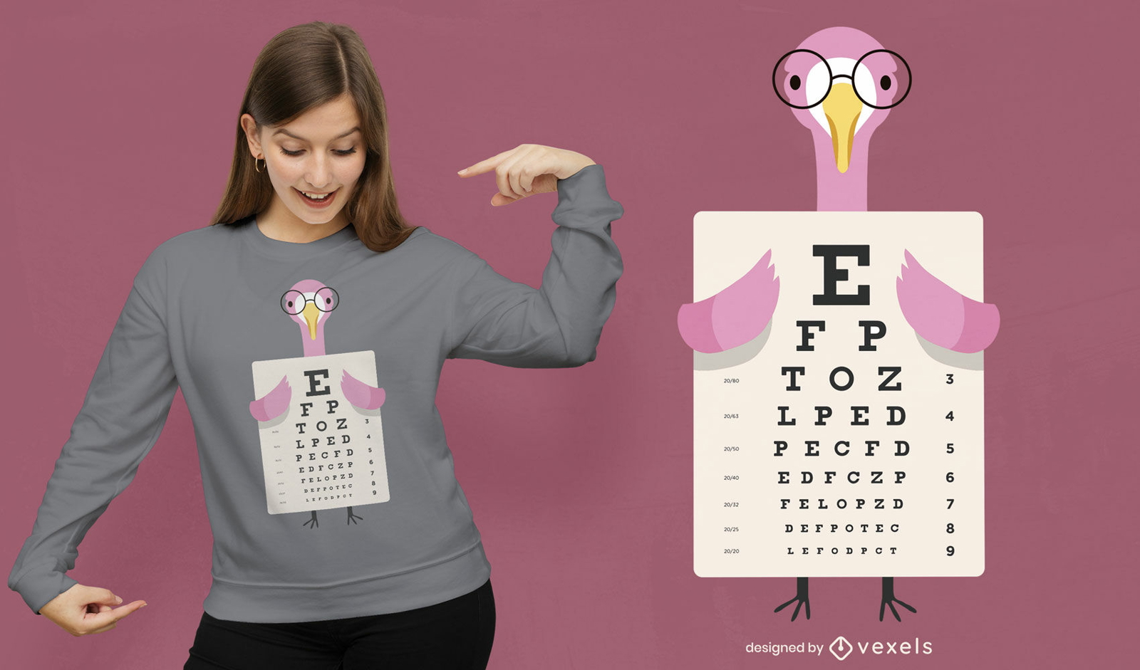
Flamingo eye chart t-shirt design
Choose a folder
All favorites
Create new
Save
Flamingo eye chart t-shirt design
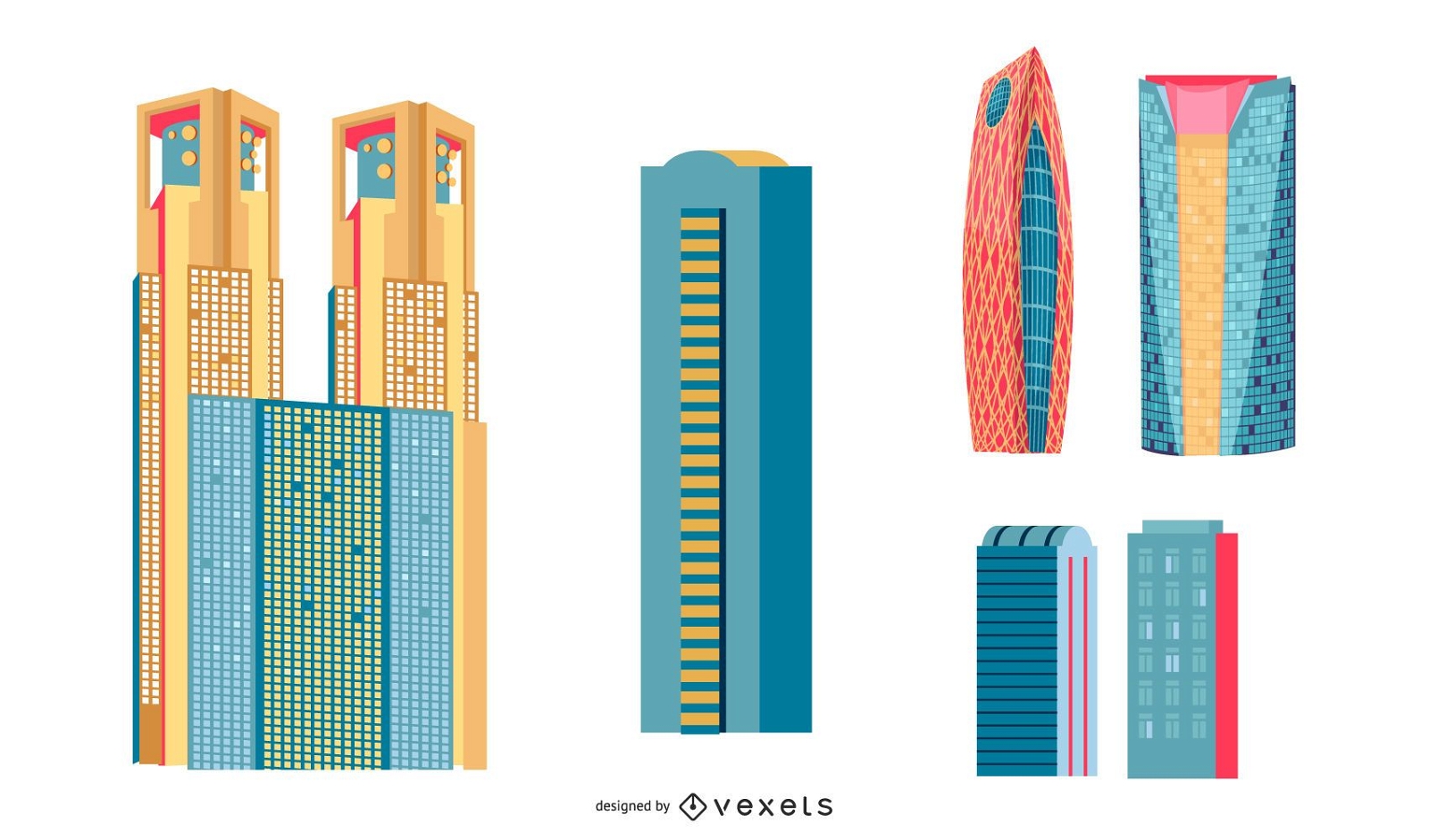
Japanese Buildings
Choose a folder
All favorites
Create new
Save
Japanese Buildings
Premium
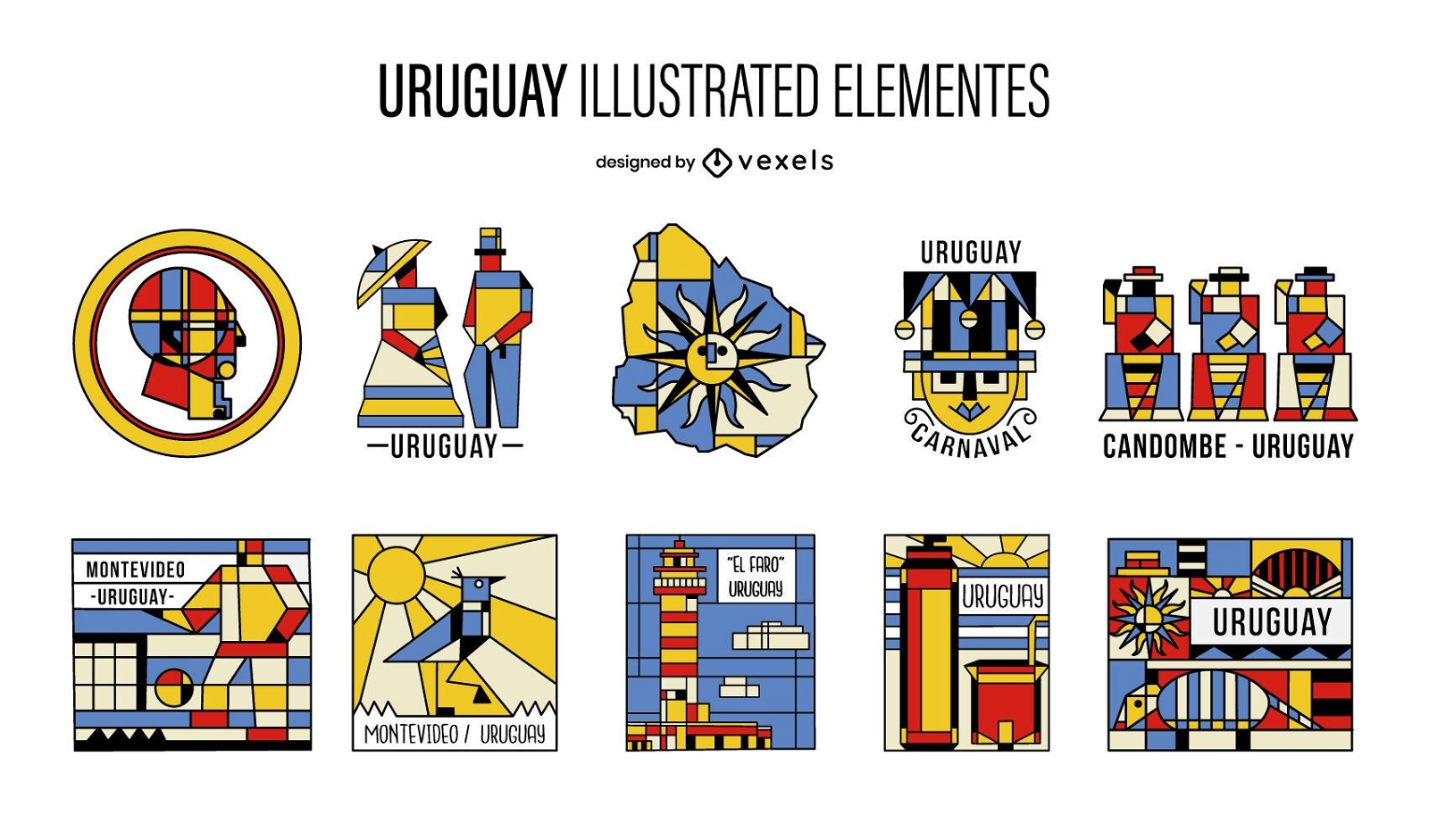
Uruguay Cubism Illustrated Elements Pack
Choose a folder
All favorites
Create new
Save
Uruguay Cubism Illustrated Elements Pack
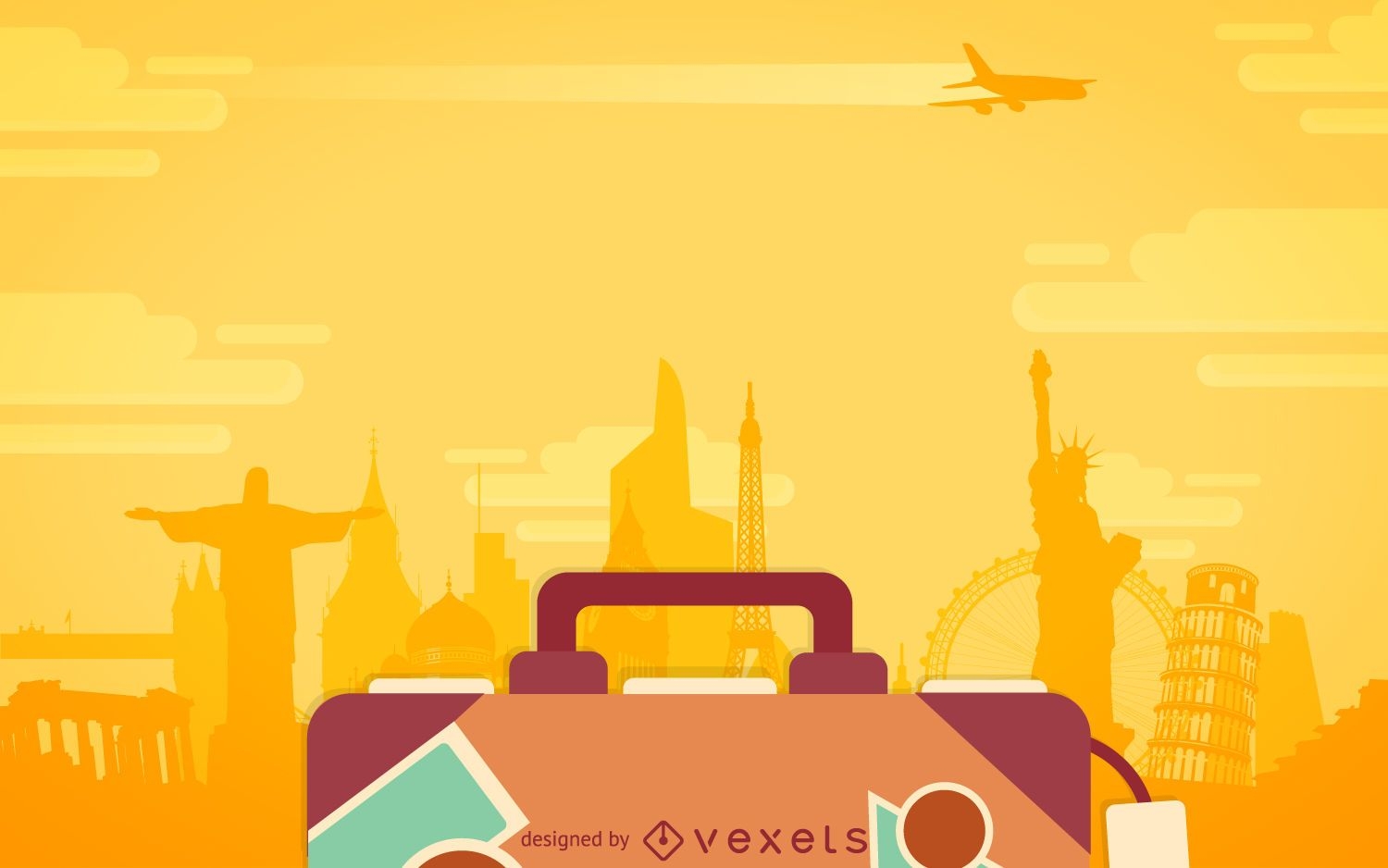
Flat travel luggage backdrop
Choose a folder
All favorites
Create new
Save
Flat travel luggage backdrop
22 United kingdom icons
Choose a folder
All favorites
Create new
Save
22 United kingdom icons
Premium
The state of wyoming with the word wyoming on it PNG Design
Choose a folder
All favorites
Create new
Save
The state of wyoming with the word wyoming on it PNG Design
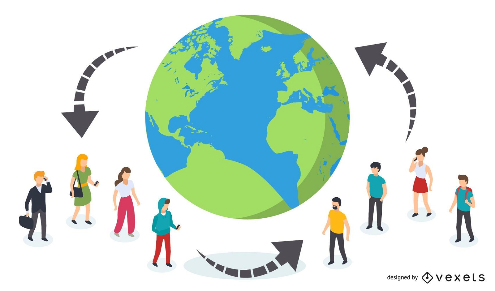
Connected People Globally
Choose a folder
All favorites
Create new
Save
Connected People Globally
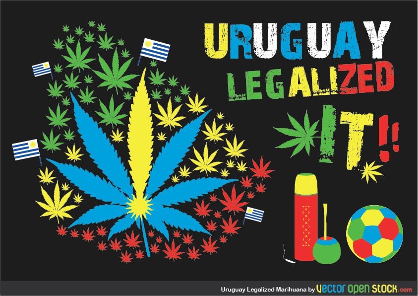
Uruaguay Legalized Marihuana
Choose a folder
All favorites
Create new
Save
Uruaguay Legalized Marihuana
Editable text
Print ready
for Merch
Greek island Corfu t-shirt design
Choose a folder
All favorites
Create new
Save
Greek island Corfu t-shirt design
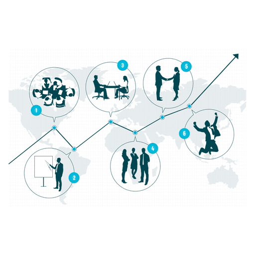
Business growth diagram PNG Design
Choose a folder
All favorites
Create new
Save
Business growth diagram PNG Design
Print ready
for Merch
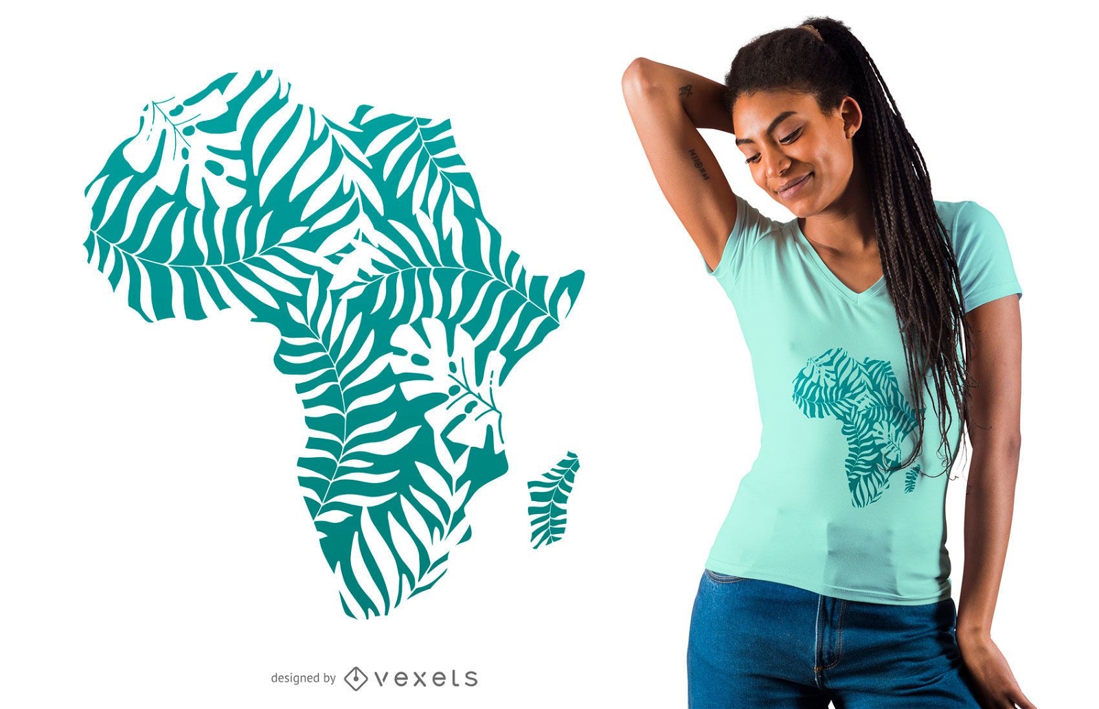
Tropical leaves africa t-shirt design
Choose a folder
All favorites
Create new
Save
Tropical leaves africa t-shirt design
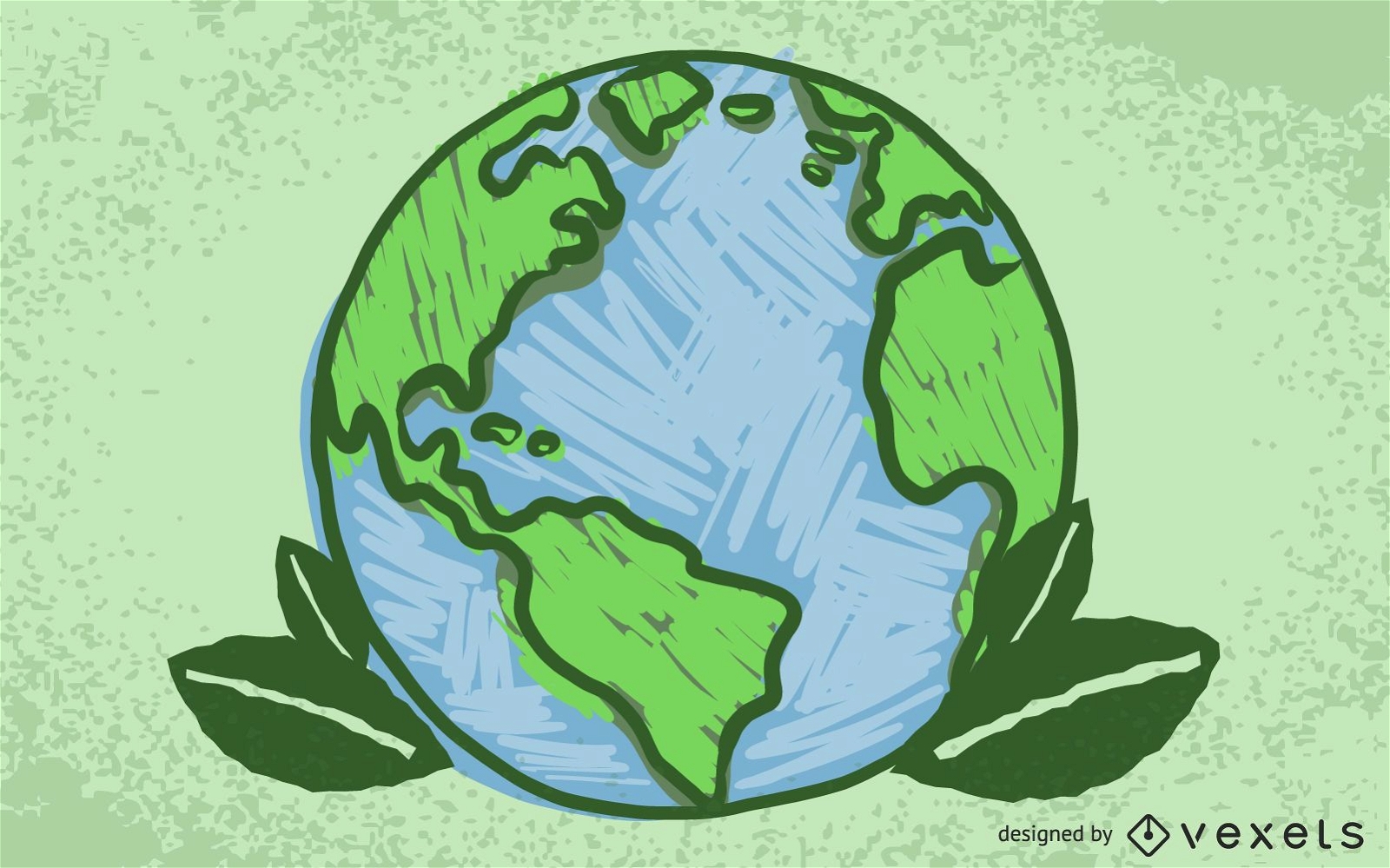
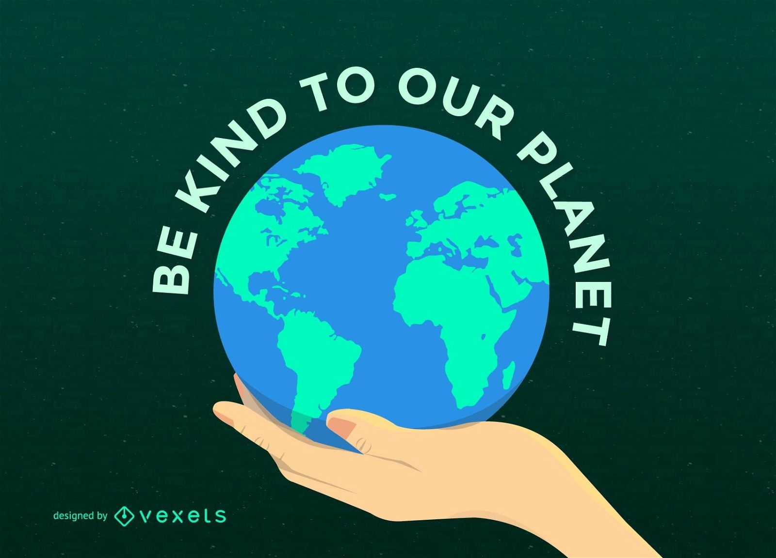
Earth Day Planet on Hand
Choose a folder
All favorites
Create new
Save
Earth Day Planet on Hand
Modern Earth Background Design
Choose a folder
All favorites
Create new
Save
Modern Earth Background Design
Ecology logo icons
Choose a folder
All favorites
Create new
Save
Ecology logo icons
Premium
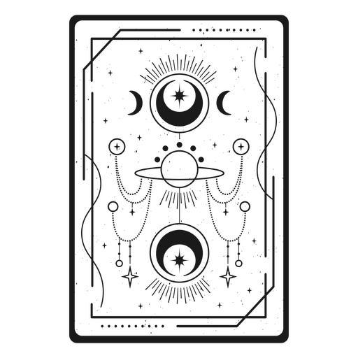
Esoteric tarot card PNG Design
Choose a folder
All favorites
Create new
Save
Esoteric tarot card PNG Design
Globe stroke icon PNG Design
Choose a folder
All favorites
Create new
Save
Globe stroke icon PNG Design
Premium
World travel transportation globe PNG Design
Choose a folder
All favorites
Create new
Save
World travel transportation globe PNG Design
Waving Lines with Globe Blue Business Background
Choose a folder
All favorites
Create new
Save
Waving Lines with Globe Blue Business Background
Simple internet icons set
Choose a folder
All favorites
Create new
Save
Simple internet icons set
Premium
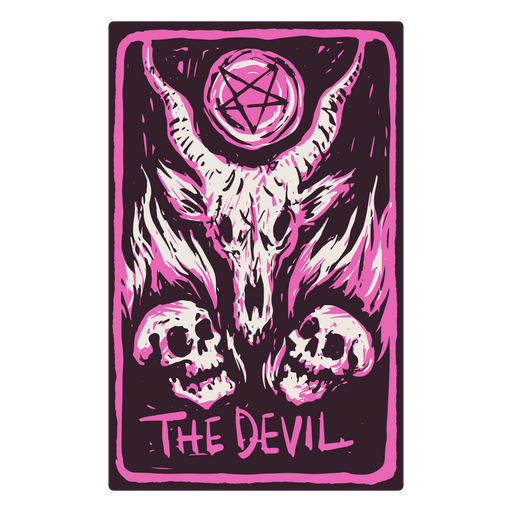
The Devil card in a skeleton-themed tarot PNG Design
Choose a folder
All favorites
Create new
Save
The Devil card in a skeleton-themed tarot PNG Design
Editable text
Print ready
for Merch
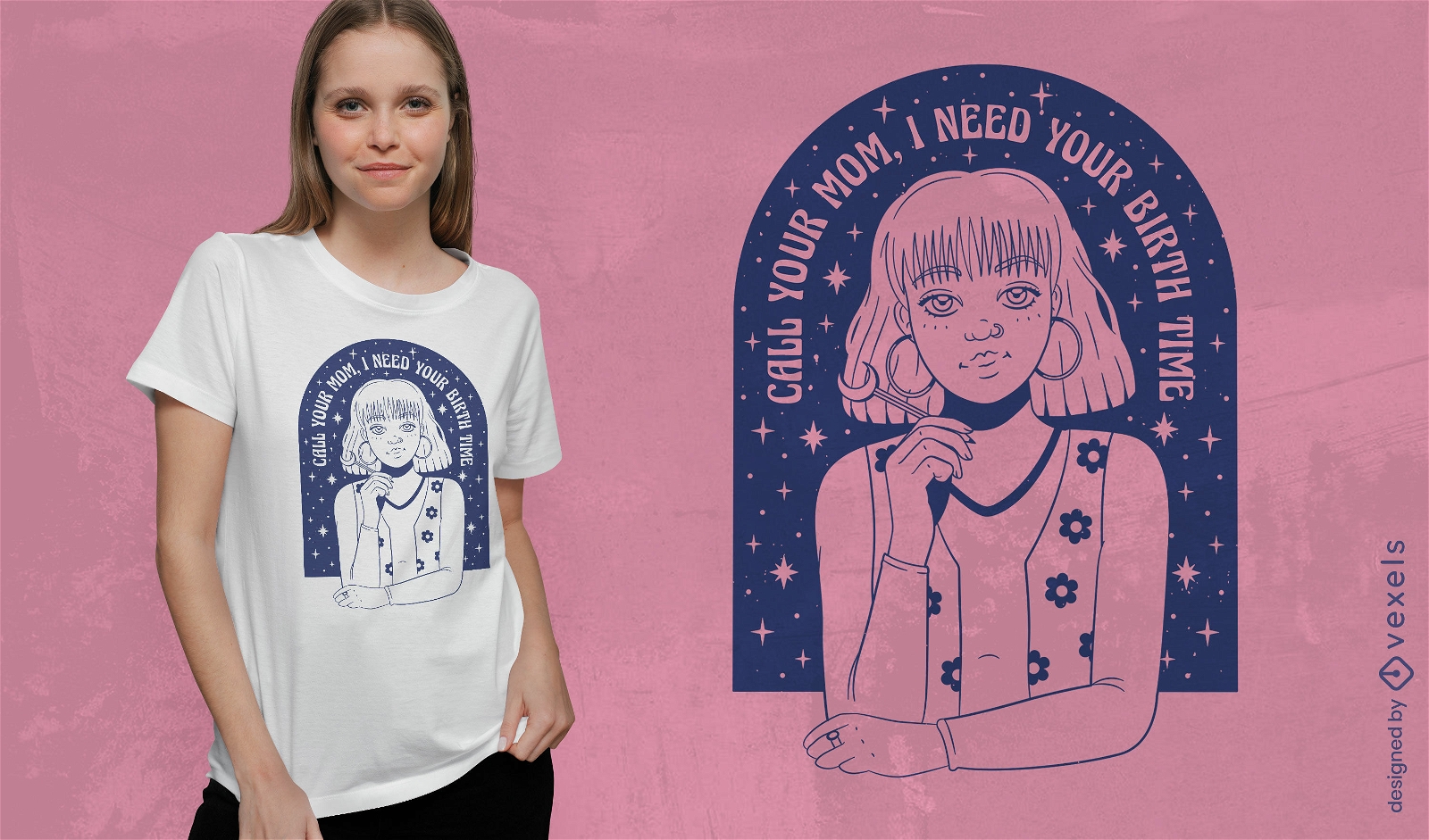
Astrology girl t-shirt design
Choose a folder
All favorites
Create new
Save
Astrology girl t-shirt design
Black Golden Business Background with Globe
Choose a folder
All favorites
Create new
Save
Black Golden Business Background with Globe
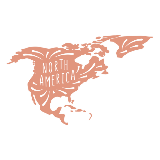
North America continent silhouette PNG Design
Choose a folder
All favorites
Create new
Save
North America continent silhouette PNG Design
Green World Ecology Minimal Infographic
Choose a folder
All favorites
Create new
Save
Green World Ecology Minimal Infographic
Premium
Recharge globe PNG Design
Choose a folder
All favorites
Create new
Save
Recharge globe PNG Design
Premium
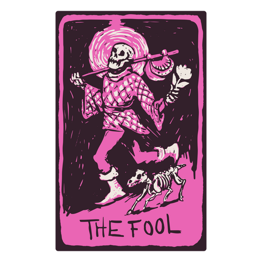
The Fool card in a skeleton-themed tarot PNG Design
Choose a folder
All favorites
Create new
Save
The Fool card in a skeleton-themed tarot PNG Design
Earth environment logo template
Choose a folder
All favorites
Create new
Save
Earth environment logo template
Flat travel luggage illustration
Choose a folder
All favorites
Create new
Save
Flat travel luggage illustration
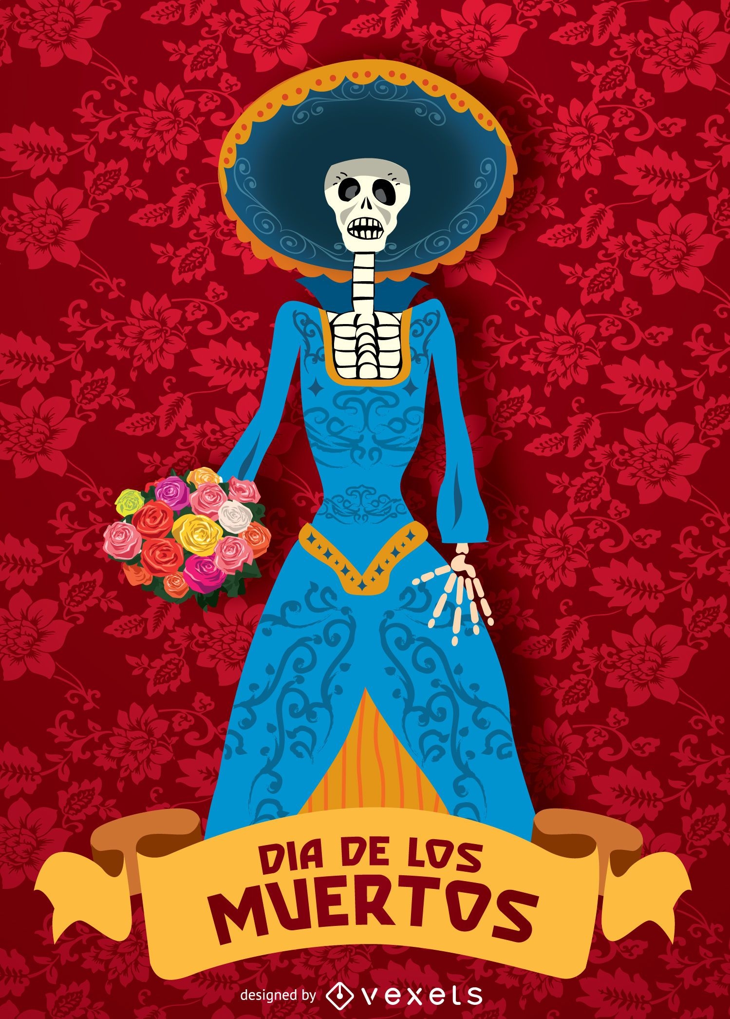
Day of dead - Dia de los muertos Catrina
Choose a folder
All favorites
Create new
Save
Day of dead - Dia de los muertos Catrina
Boost Your Business
With The Leading Graphic Platform For Merch.
SEE PLANS
Next
of 41
prev page
next page