Design Library
New Merch Designs
T-Shirts
Vectors
Trending Merch Designs
PNGs & SVGs
Mockups
T-Shirt PSD Templates
Explore Designs
KDP Designs
Posters
Mugs
Phone Cases
Tote Bags
Pillows
Design Tools
Merch Designer
New!
Mockup Generator
AI Design Generator
Image Vectorizer
Quote Generator
T-Shirt Maker (Old)
Resources
Merch Digest
Blog
Help Center
Learn About Merch
Feedback
Corporate Solutions
Enterprise
API Access
Design Studio
Bulk Design Production
Pricing
Loading...
Sign Up
Login
All
map
Design Library
New Merch Designs
T-Shirts
Vectors
Trending Merch Designs
PNGs & SVGs
Mockups
T-Shirt PSD Templates
Explore Designs
KDP Designs
Posters
Mugs
Phone Cases
Tote Bags
Pillows
Design Tools
Merch Designer
New!
Mockup Generator
AI Design Generator
Image Vectorizer
Quote Generator
T-Shirt Maker (Old)
Resources
Merch Digest
Blog
Help Center
Learn About Merch
Feedback
Corporate Solutions
Enterprise
API Access
Design Studio
Bulk Design Production
PLANS
All
map
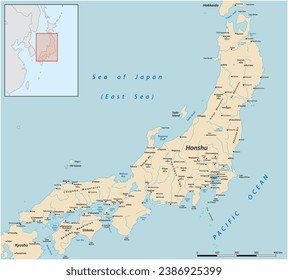
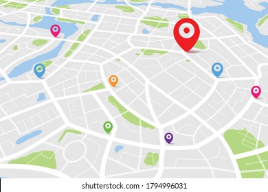
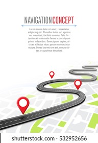
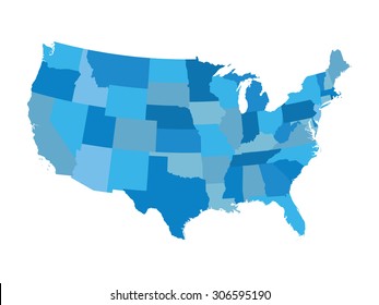
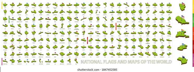
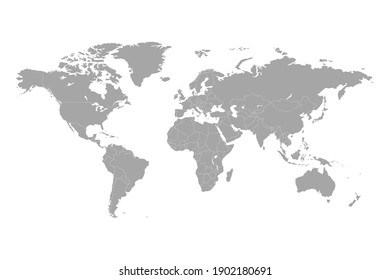
1905 map designs graphics for t-shirt and print on demand merch
Download map t-shirt designs and other merch graphics like book covers, phone cases, tote bags and more.
Related:
world map
,
map silhouette
Sort by
Most relevant
Sponsored results by
Get 15% off with code: VEXELS15
Show more
Print ready
for Merch
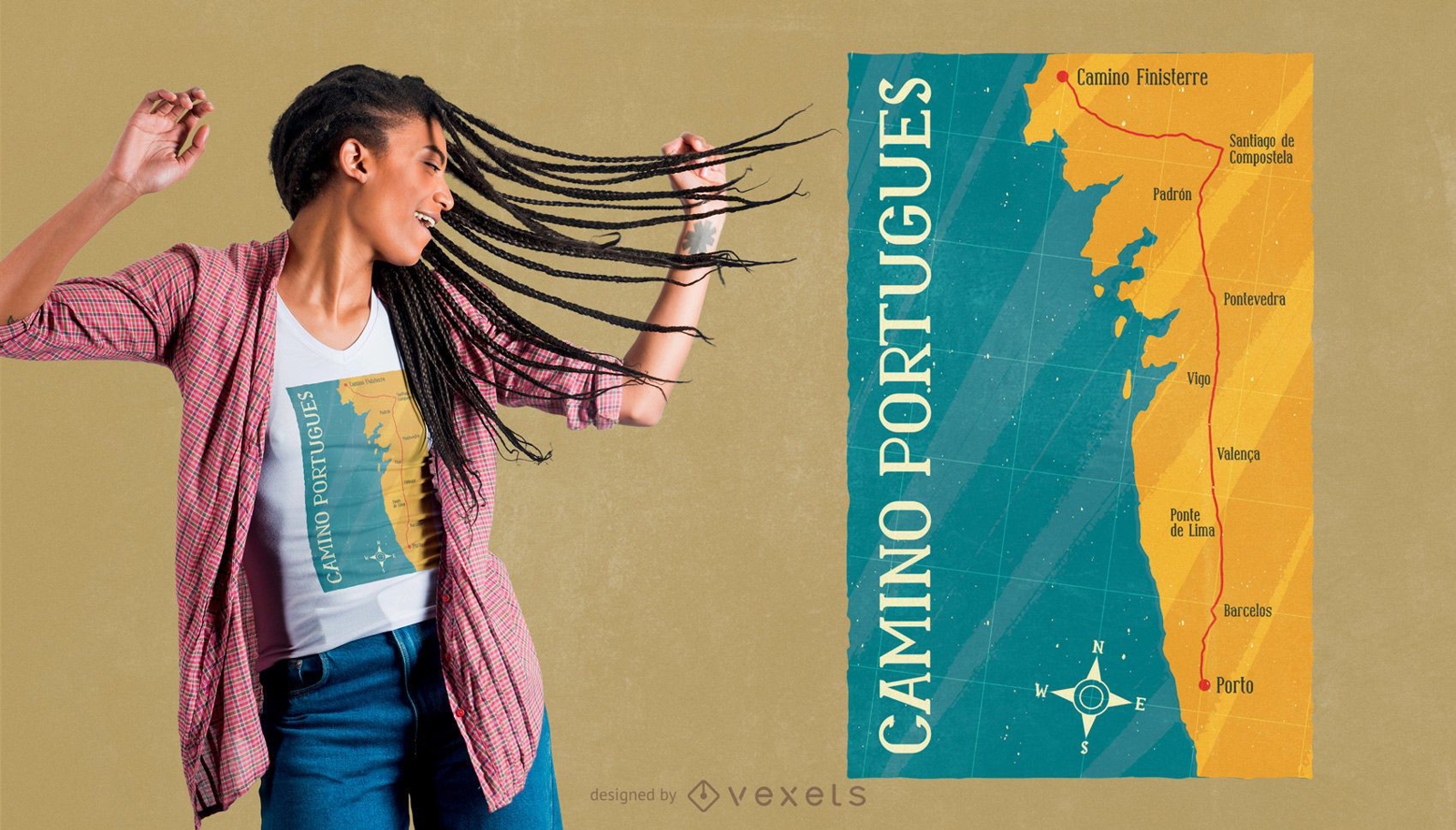
Camino Portugues t-shirt design
Choose a folder
All favorites
Create new
Save
Camino Portugues t-shirt design
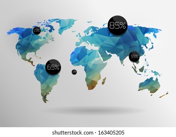
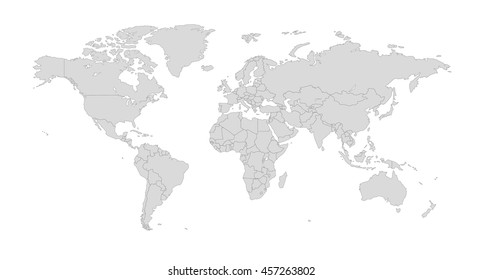
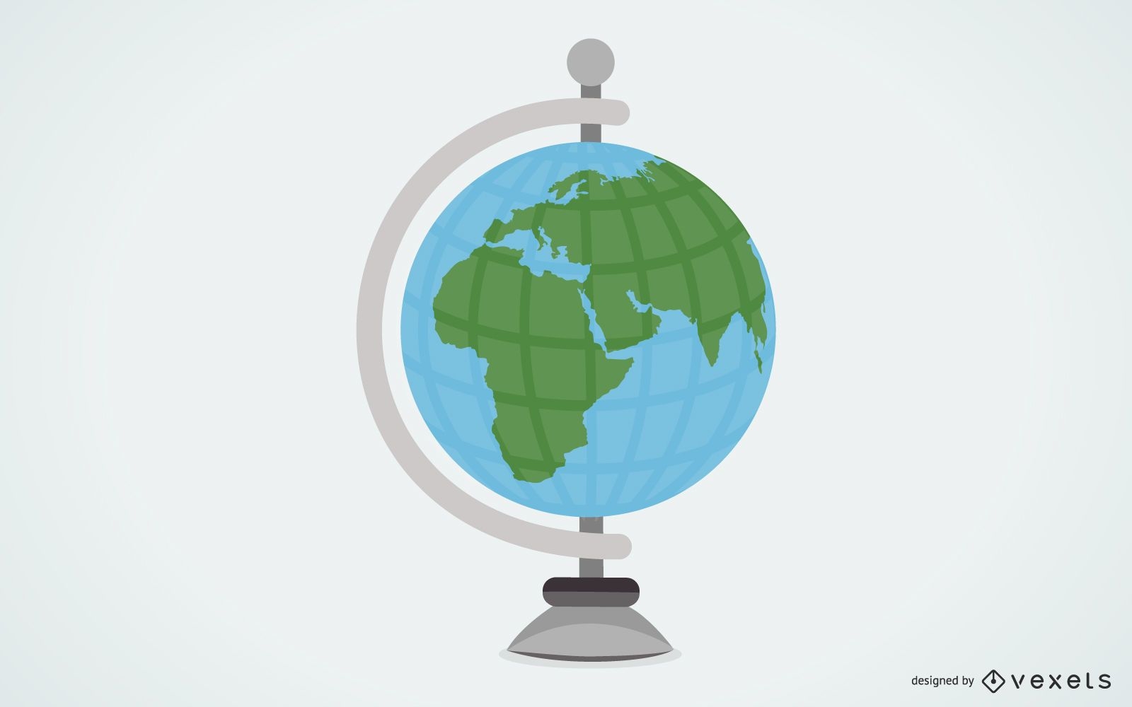
Globe Vector 2
Choose a folder
All favorites
Create new
Save
Globe Vector 2
Premium
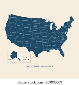
The state of tennessee is shown PNG Design
Choose a folder
All favorites
Create new
Save
The state of tennessee is shown PNG Design
Book Cover Designs
Premium
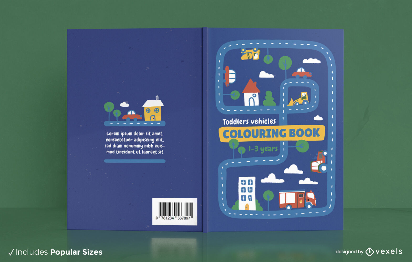
Vehicles map coloring book cover design
Choose a folder
All favorites
Create new
Save
Vehicles map coloring book cover design
German Content
Print ready
for Merch
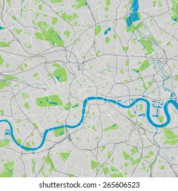
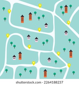
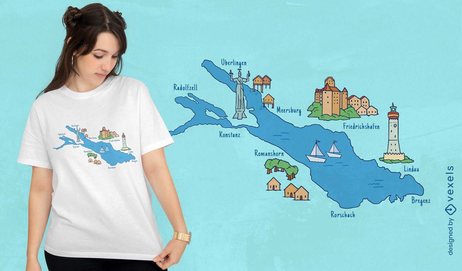
Cities around lake map t-shirt design
Choose a folder
All favorites
Create new
Save
Cities around lake map t-shirt design
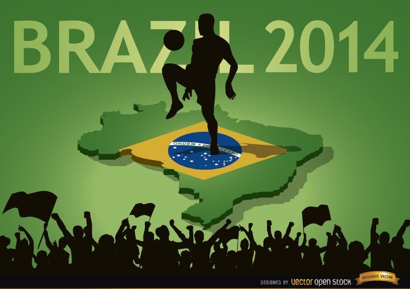
Brazil 2014 country fan crowds
Choose a folder
All favorites
Create new
Save
Brazil 2014 country fan crowds
Print ready
for Merch
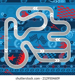
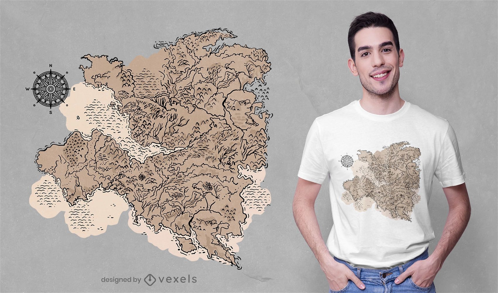
Cartography t-shirt design
Choose a folder
All favorites
Create new
Save
Cartography t-shirt design
Premium
The state of virginia is shown PNG Design
Choose a folder
All favorites
Create new
Save
The state of virginia is shown PNG Design
Premium
Rhode island green map outline PNG Design
Choose a folder
All favorites
Create new
Save
Rhode island green map outline PNG Design
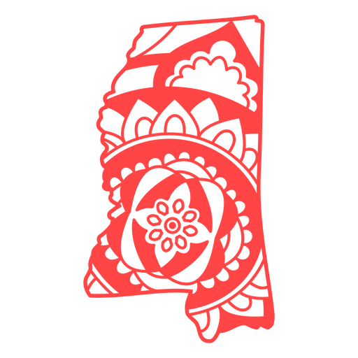
Mississippi state mandala map stroke PNG Design
Choose a folder
All favorites
Create new
Save
Mississippi state mandala map stroke PNG Design
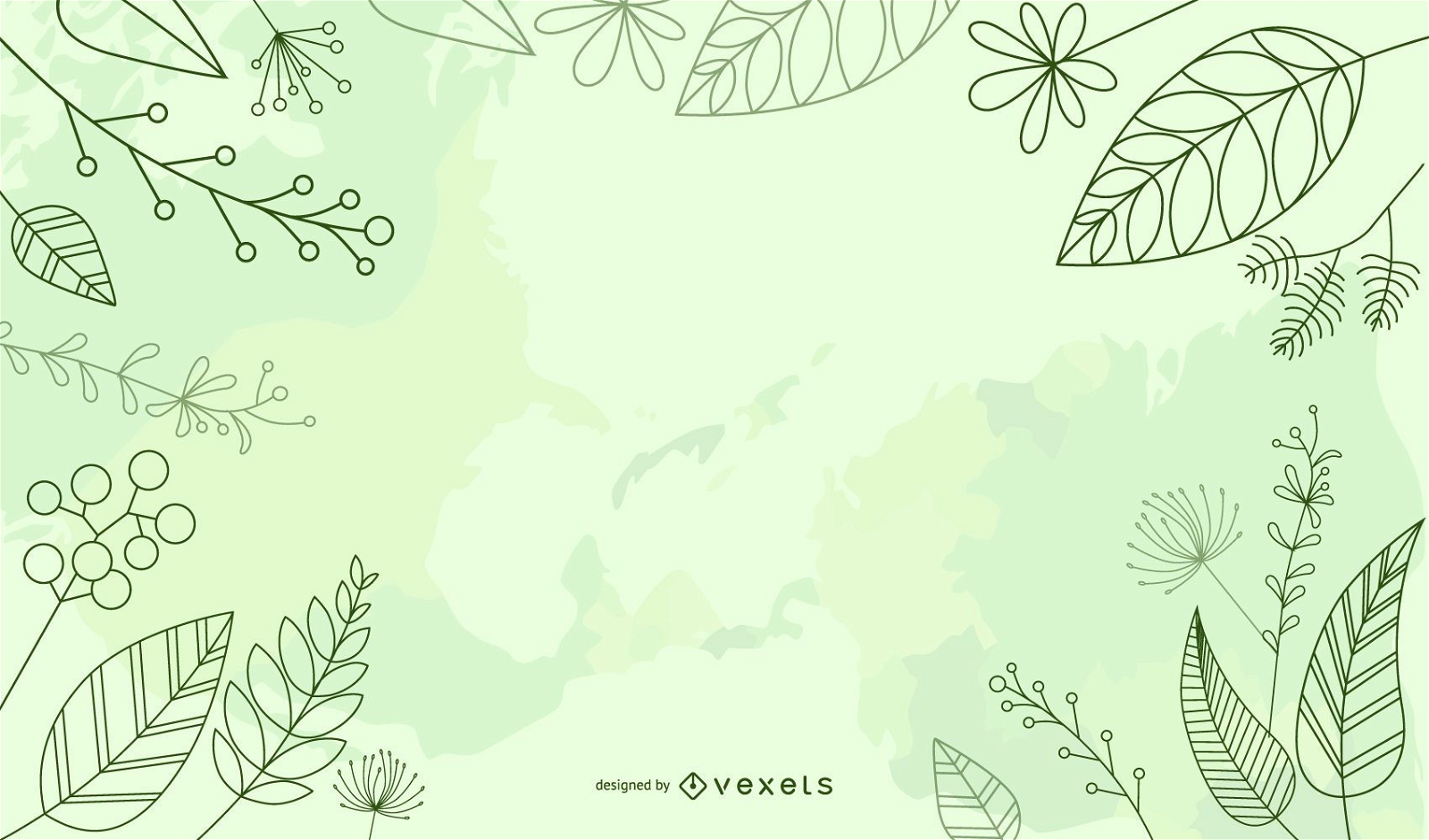
Fresh Environment Earth Day Background
Choose a folder
All favorites
Create new
Save
Fresh Environment Earth Day Background
Premium
The flag of germany in its map PNG Design
Choose a folder
All favorites
Create new
Save
The flag of germany in its map PNG Design
Travel World Grid Background
Choose a folder
All favorites
Create new
Save
Travel World Grid Background
Wyoming state stroke map PNG Design
Choose a folder
All favorites
Create new
Save
Wyoming state stroke map PNG Design
USA map borders with flag hand drawn badge PNG Design
Choose a folder
All favorites
Create new
Save
USA map borders with flag hand drawn badge PNG Design
Print ready
for Merch
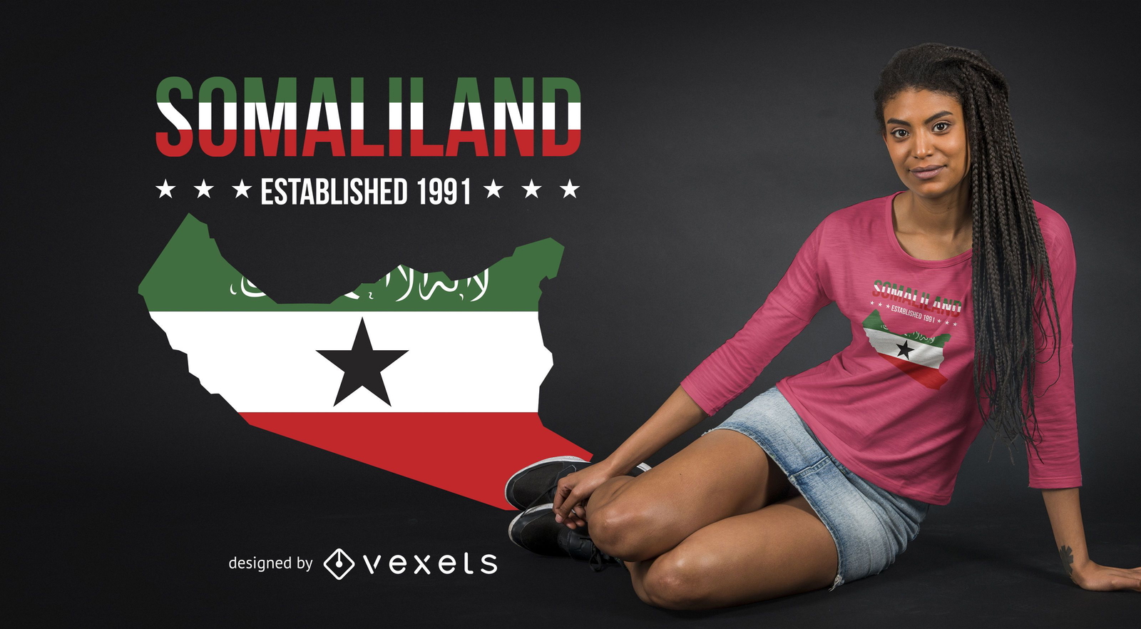
Somaliland T-shirt Design
Choose a folder
All favorites
Create new
Save
Somaliland T-shirt Design
Global Business Around the World
Choose a folder
All favorites
Create new
Save
Global Business Around the World
Business people
Choose a folder
All favorites
Create new
Save
Business people
Print ready
for Merch
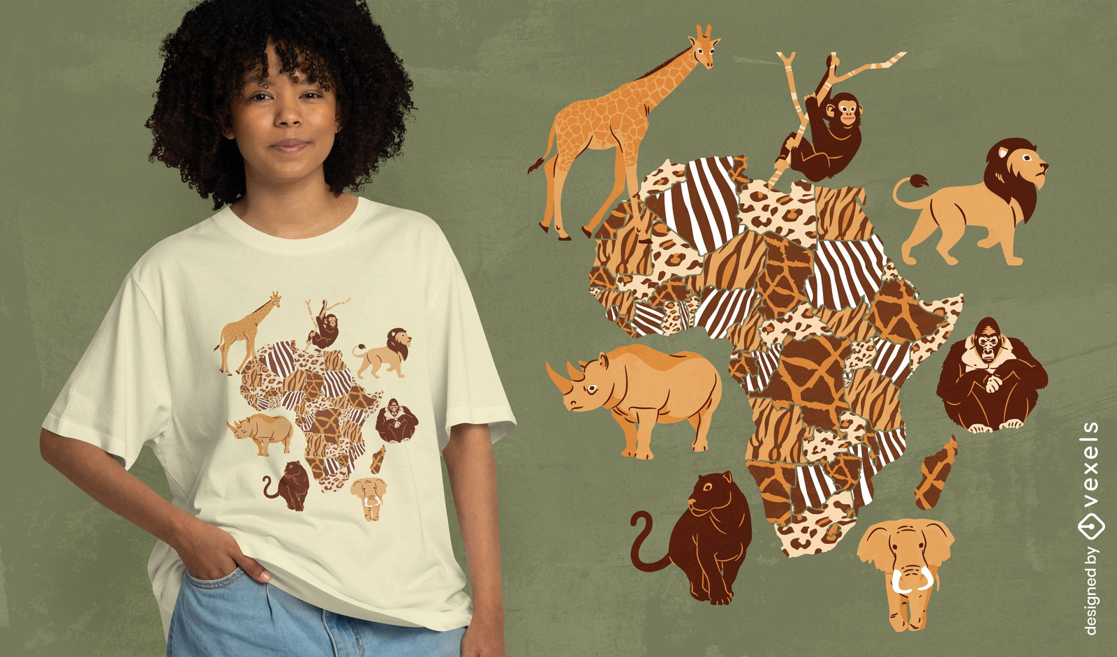
African animals map t-shirt design
Choose a folder
All favorites
Create new
Save
African animals map t-shirt design
Indiana state mandala map PNG Design
Choose a folder
All favorites
Create new
Save
Indiana state mandala map PNG Design
Minimal Travel & Tourism Icon Set
Choose a folder
All favorites
Create new
Save
Minimal Travel & Tourism Icon Set
Green Earth Background with Bubbles
Choose a folder
All favorites
Create new
Save
Green Earth Background with Bubbles
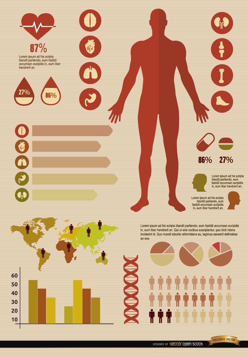
Medical infographics resources
Choose a folder
All favorites
Create new
Save
Medical infographics resources
Editable text
Print ready
Premium
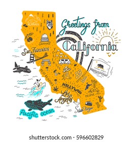
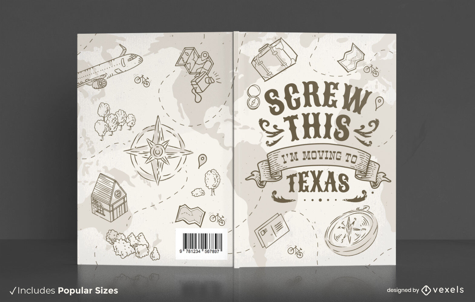
Travel texas book cover design
Choose a folder
All favorites
Create new
Save
Travel texas book cover design
Conceptual Vintage Paris Icon Pack
Choose a folder
All favorites
Create new
Save
Conceptual Vintage Paris Icon Pack
Business Background with Corporate Peoples
Choose a folder
All favorites
Create new
Save
Business Background with Corporate Peoples
Premium
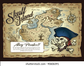
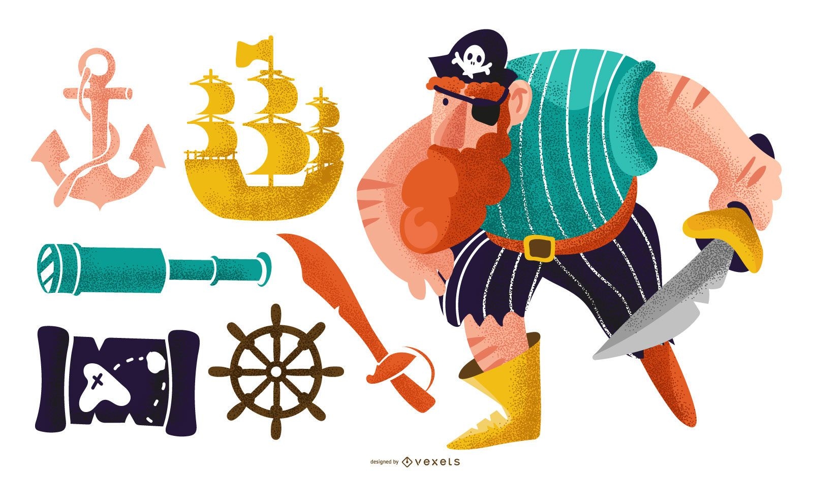
Pirate colorful vector set
Choose a folder
All favorites
Create new
Save
Pirate colorful vector set
AI generated, curated by our designers
for Merch
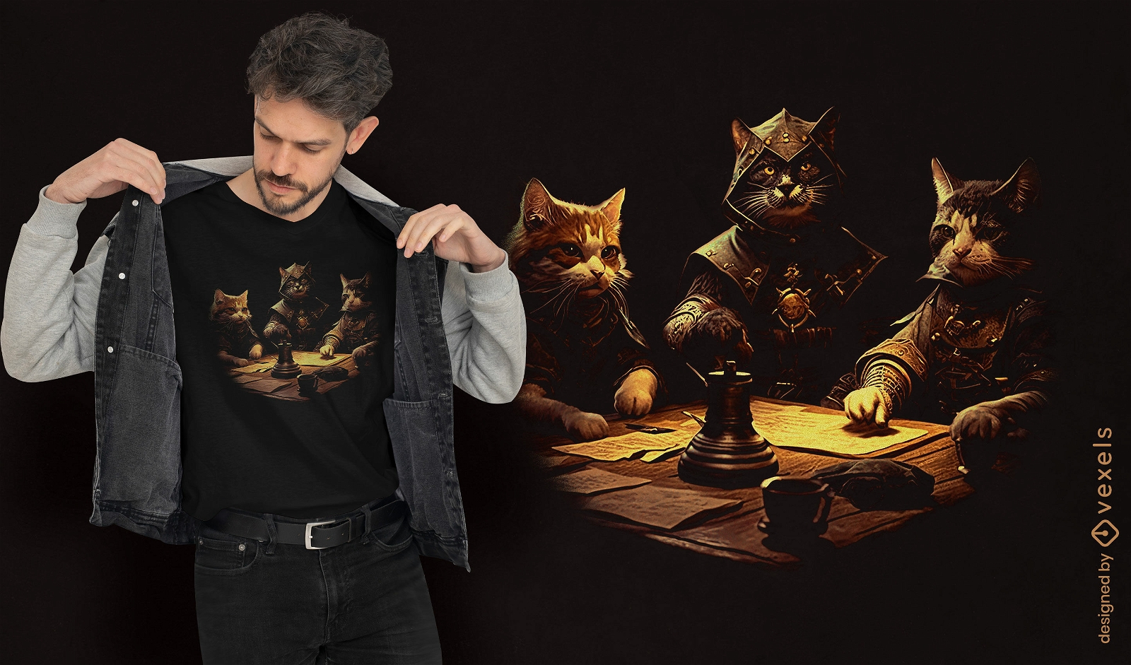
RPG cats t-shirt design
Choose a folder
All favorites
Create new
Save
RPG cats t-shirt design
Premium
The new hampshire green map PNG Design
Choose a folder
All favorites
Create new
Save
The new hampshire green map PNG Design
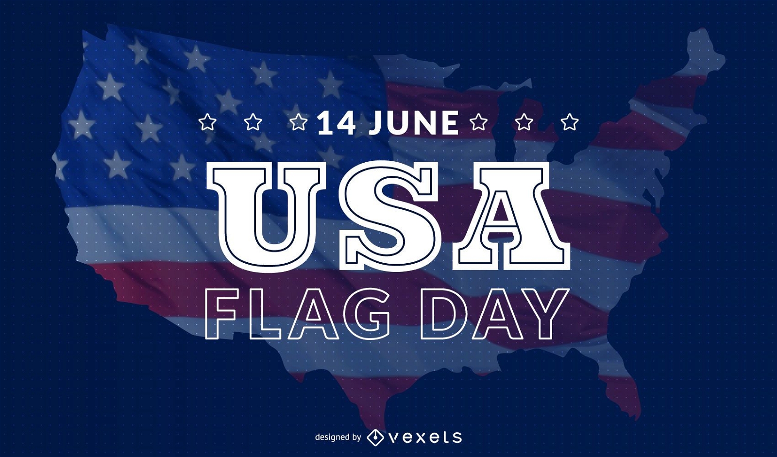
USA flag day background
Choose a folder
All favorites
Create new
Save
USA flag day background
Men medical infographics elements
Choose a folder
All favorites
Create new
Save
Men medical infographics elements
Premium
The state of oklahoma is shown PNG Design
Choose a folder
All favorites
Create new
Save
The state of oklahoma is shown PNG Design
Premium
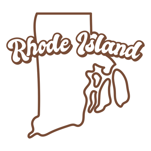
Rhode island brown map outline PNG Design
Choose a folder
All favorites
Create new
Save
Rhode island brown map outline PNG Design
Premium
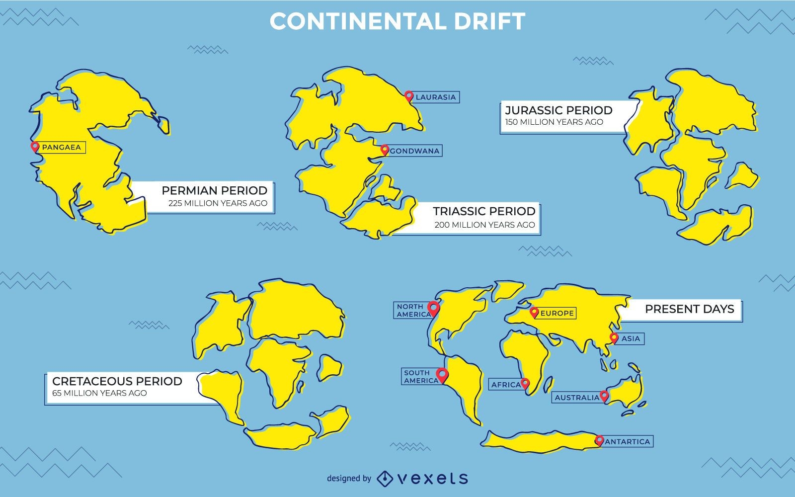
Continental drift illustration design
Choose a folder
All favorites
Create new
Save
Continental drift illustration design
Santa Claus traveling airport
Choose a folder
All favorites
Create new
Save
Santa Claus traveling airport
Premium
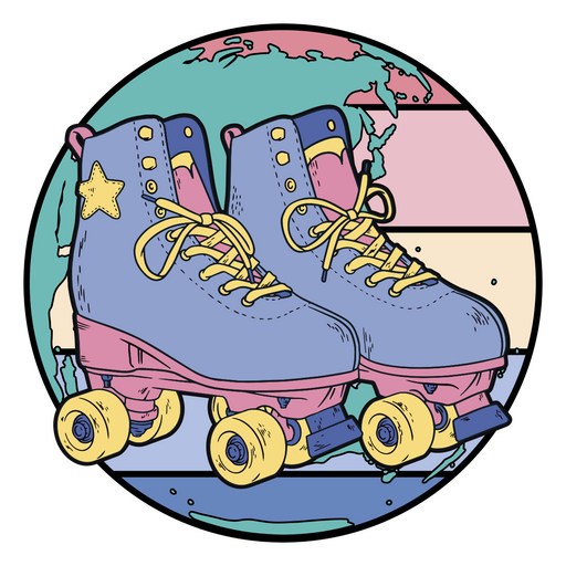
Rollers superimposed on a world map PNG Design
Choose a folder
All favorites
Create new
Save
Rollers superimposed on a world map PNG Design
Flat Style Template Infographic Set
Choose a folder
All favorites
Create new
Save
Flat Style Template Infographic Set
Premium
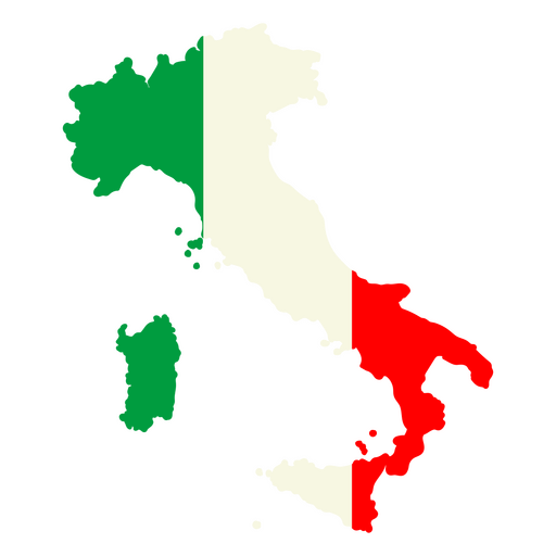
The flag of italy in its map PNG Design
Choose a folder
All favorites
Create new
Save
The flag of italy in its map PNG Design
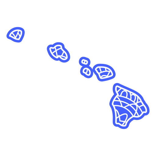
Hawaii state mandala map PNG Design
Choose a folder
All favorites
Create new
Save
Hawaii state mandala map PNG Design
Premium
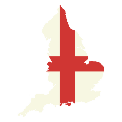
The flag of england in its map PNG Design
Choose a folder
All favorites
Create new
Save
The flag of england in its map PNG Design
Premium
The state of ohio is shown on a green background PNG Design
Choose a folder
All favorites
Create new
Save
The state of ohio is shown on a green background PNG Design
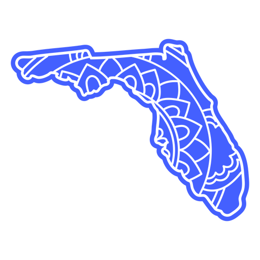
Florida state map mandala PNG Design
Choose a folder
All favorites
Create new
Save
Florida state map mandala PNG Design
Map sun flat stroke PNG Design
Choose a folder
All favorites
Create new
Save
Map sun flat stroke PNG Design
Premium
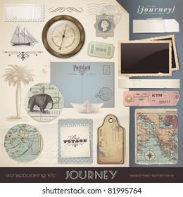
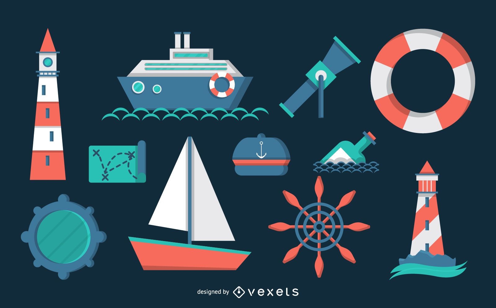
Nautical theme pack
Choose a folder
All favorites
Create new
Save
Nautical theme pack
Premium
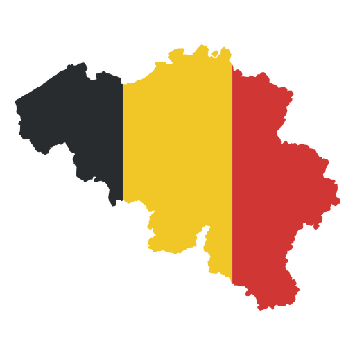
The flag of belgium in its map PNG Design
Choose a folder
All favorites
Create new
Save
The flag of belgium in its map PNG Design
Liberty america map filled stroke PNG Design
Choose a folder
All favorites
Create new
Save
Liberty america map filled stroke PNG Design
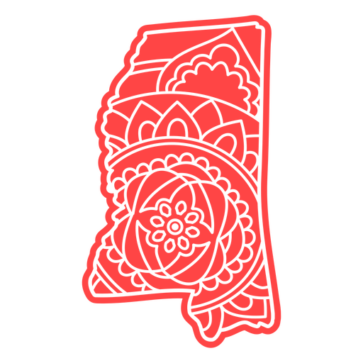
Mississippi state mandala map element PNG Design
Choose a folder
All favorites
Create new
Save
Mississippi state mandala map element PNG Design
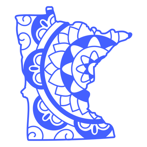
Minnesota state mandala map stroke PNG Design
Choose a folder
All favorites
Create new
Save
Minnesota state mandala map stroke PNG Design
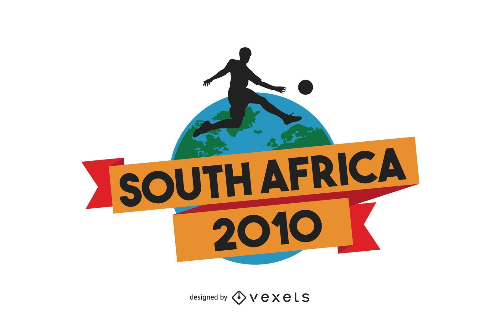
2010 south africa wallpaper vector
Choose a folder
All favorites
Create new
Save
2010 south africa wallpaper vector
AI generated, curated by our designers
for Merch
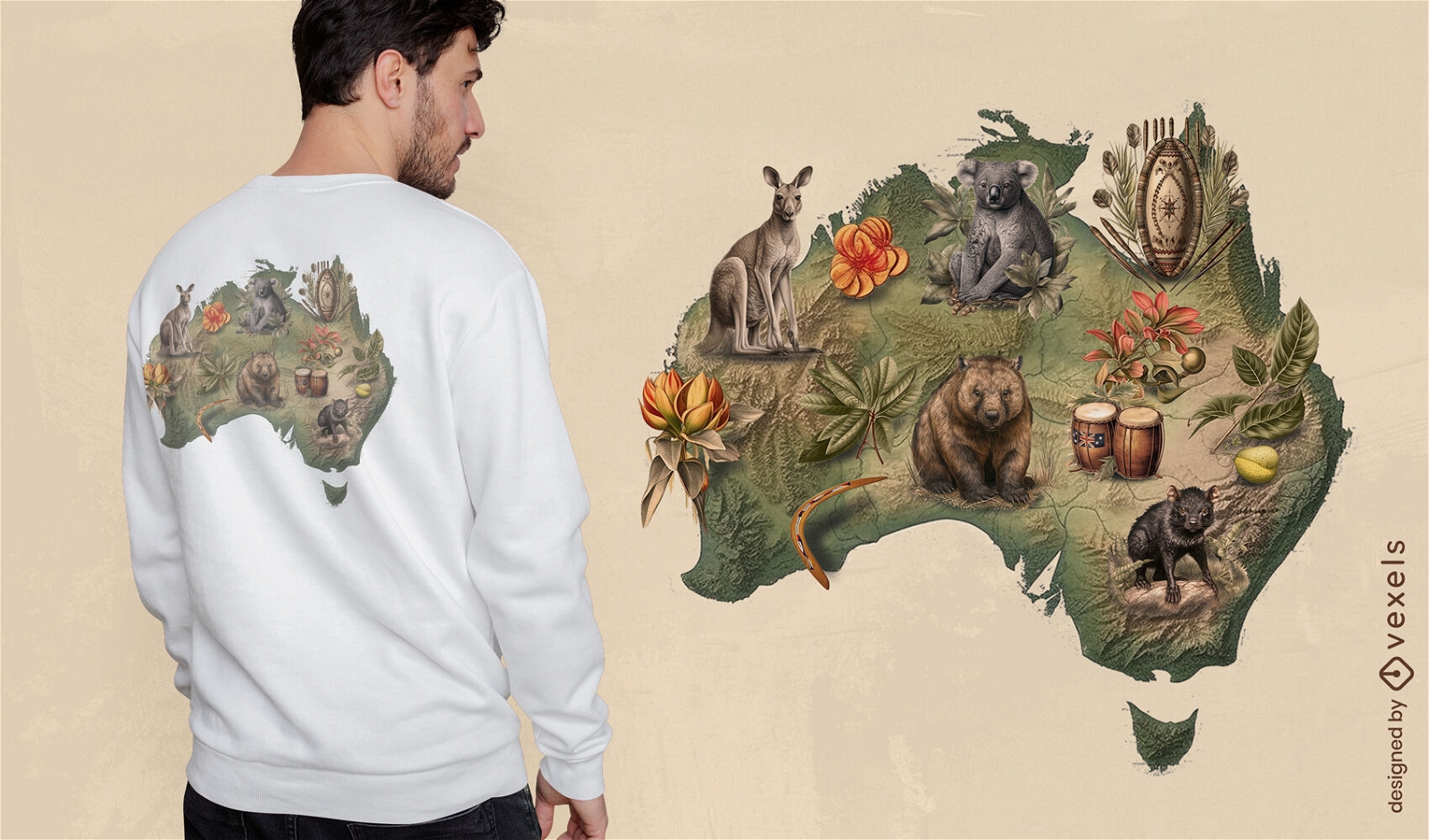
Australian wildlife t-shirt design
Choose a folder
All favorites
Create new
Save
Australian wildlife t-shirt design
Boost Your Business
With The Leading Graphic Platform For Merch.
SEE PLANS
Next
of 39
prev page
next page