Design Library
New Merch Designs
T-Shirts
Vectors
Trending Merch Designs
PNGs & SVGs
Mockups
T-Shirt PSD Templates
Explore Designs
KDP Designs
Posters
Mugs
Phone Cases
Tote Bags
Pillows
Design Tools
Merch Designer
New!
Mockup Generator
AI Design Generator
Image Vectorizer
Quote Generator
T-Shirt Maker (Old)
Resources
Merch Digest
Blog
Help Center
Learn About Merch
Feedback
Corporate Solutions
Enterprise
API Access
Design Studio
Bulk Design Production
Pricing
Loading...
Sign Up
Login
All
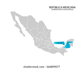
estados
Design Library
New Merch Designs
T-Shirts
Vectors
Trending Merch Designs
PNGs & SVGs
Mockups
T-Shirt PSD Templates
Explore Designs
KDP Designs
Posters
Mugs
Phone Cases
Tote Bags
Pillows
Design Tools
Merch Designer
New!
Mockup Generator
AI Design Generator
Image Vectorizer
Quote Generator
T-Shirt Maker (Old)
Resources
Merch Digest
Blog
Help Center
Learn About Merch
Feedback
Corporate Solutions
Enterprise
API Access
Design Studio
Bulk Design Production
PLANS
All
estados
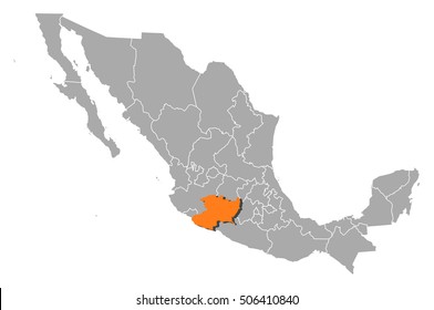
3409 estados designs graphics for t-shirt and print on demand merch
Download estados t-shirt designs and other merch graphics like book covers, phone cases, tote bags and more.
Sort by
Most relevant
Sponsored results by
Get 15% off with code: VEXELS15
Show more
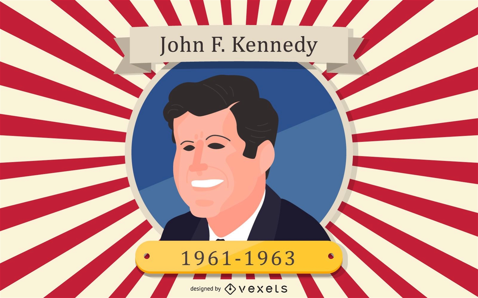
President John F Kennedy Cartoon Portrait
Choose a folder
All favorites
Create new
Save
President John F Kennedy Cartoon Portrait
Premium
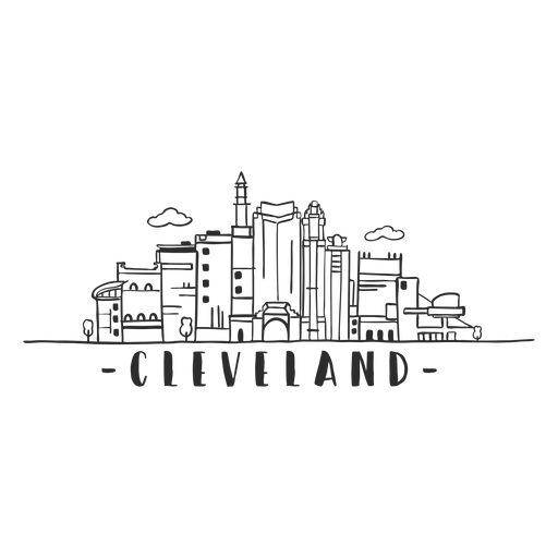
Cleveland hall of fame tower sky scraper skyline sticker PNG Design
Choose a folder
All favorites
Create new
Save
Cleveland hall of fame tower sky scraper skyline sticker PNG Design
Premium
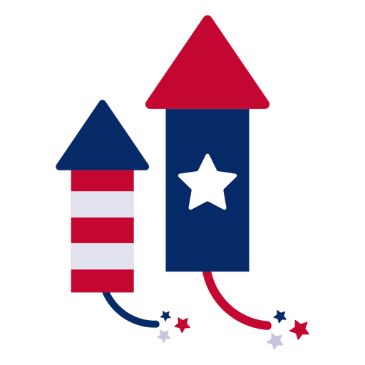
Firework rockets design element PNG Design
Choose a folder
All favorites
Create new
Save
Firework rockets design element PNG Design
Blue ring usa ribbon badge PNG Design
Choose a folder
All favorites
Create new
Save
Blue ring usa ribbon badge PNG Design
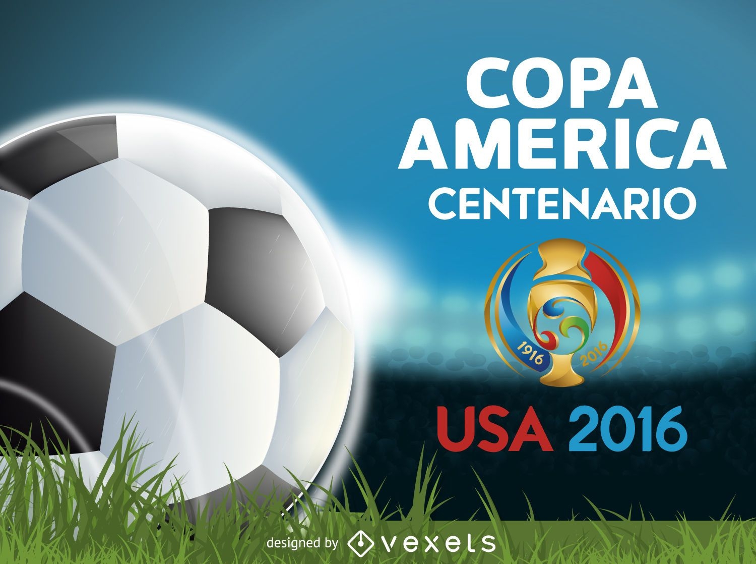
Copa America Centenario banner
Choose a folder
All favorites
Create new
Save
Copa America Centenario banner
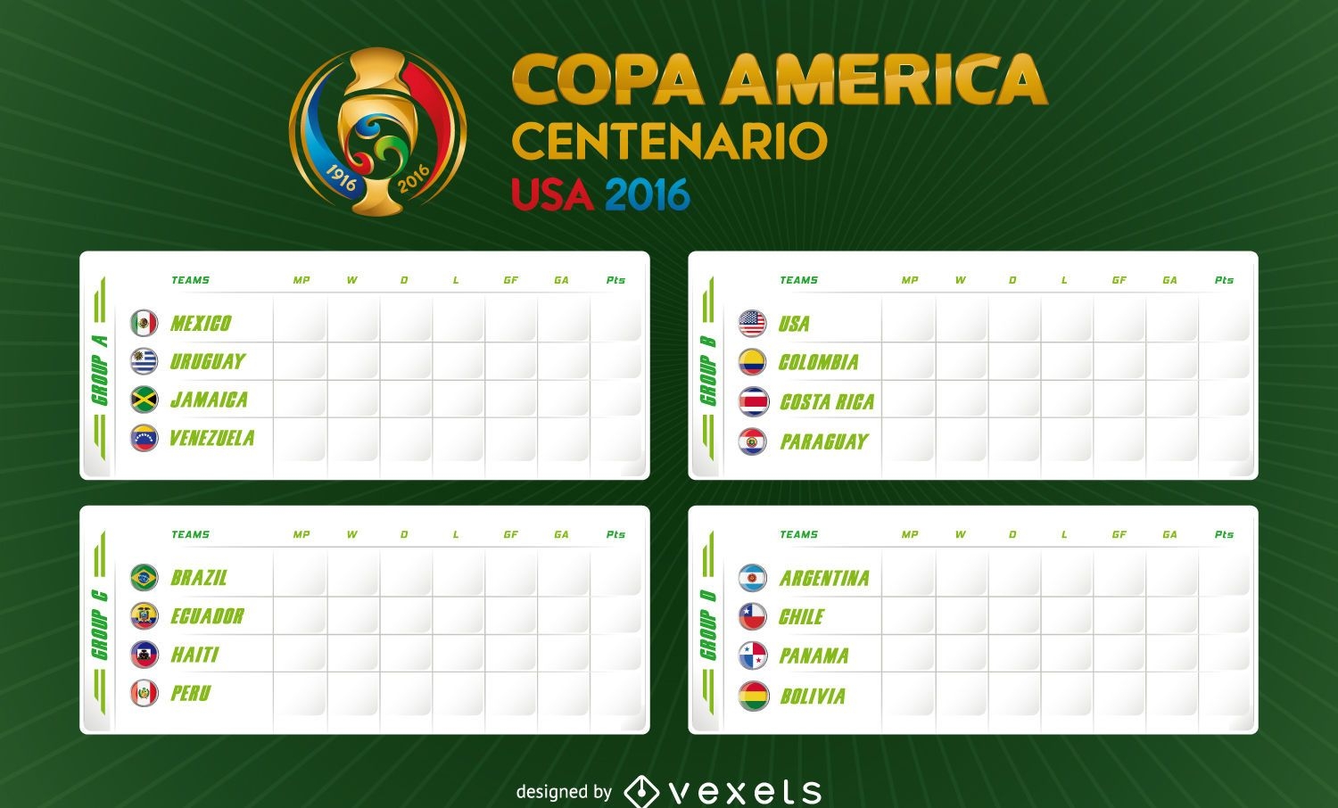
Copa America 2016 fixture
Choose a folder
All favorites
Create new
Save
Copa America 2016 fixture
Thanksgiving banners
Choose a folder
All favorites
Create new
Save
Thanksgiving banners
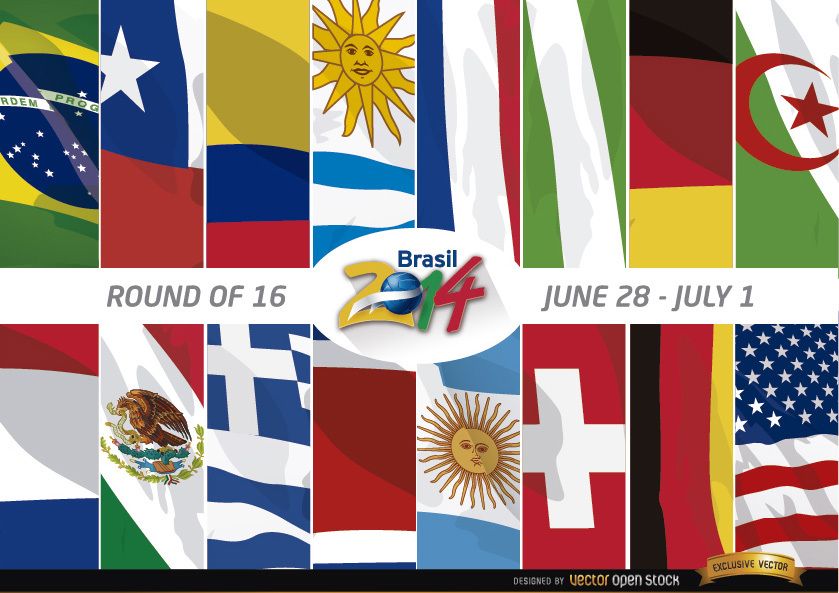
Brazil 2014 Round of 16 Teams
Choose a folder
All favorites
Create new
Save
Brazil 2014 Round of 16 Teams
Premium
The state of ohio is shown on a green background PNG Design
Choose a folder
All favorites
Create new
Save
The state of ohio is shown on a green background PNG Design
Print ready
for Merch
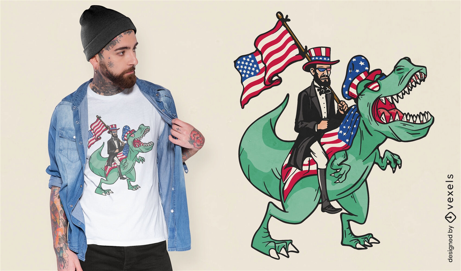
Lincoln riding a t-rex t-shirt design
Choose a folder
All favorites
Create new
Save
Lincoln riding a t-rex t-shirt design
Premium
Cute american bear with eyeglasses PNG Design
Choose a folder
All favorites
Create new
Save
Cute american bear with eyeglasses PNG Design
Print ready
for Merch
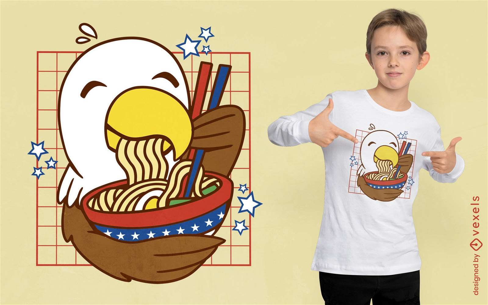
Kawaii eagle ramen t-shirt design
Choose a folder
All favorites
Create new
Save
Kawaii eagle ramen t-shirt design
Premium
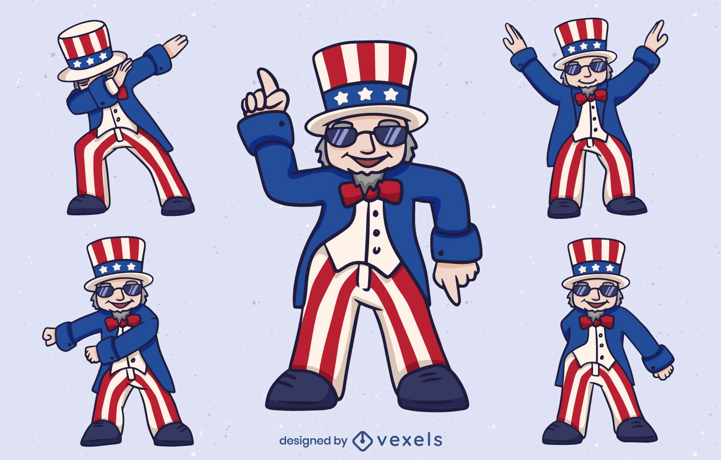
Uncle Sam character set design
Choose a folder
All favorites
Create new
Save
Uncle Sam character set design
Veteran's day flying eagle badge PNG Design
Choose a folder
All favorites
Create new
Save
Veteran's day flying eagle badge PNG Design
Places lettering dallas PNG Design
Choose a folder
All favorites
Create new
Save
Places lettering dallas PNG Design
Hot cocoa stroke food treats PNG Design
Choose a folder
All favorites
Create new
Save
Hot cocoa stroke food treats PNG Design
Illinois map filled stroke PNG Design
Choose a folder
All favorites
Create new
Save
Illinois map filled stroke PNG Design
Premium
Fourth of July quote lettering stickers set
Choose a folder
All favorites
Create new
Save
Fourth of July quote lettering stickers set
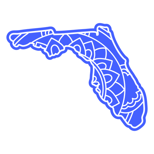
Florida state map mandala PNG Design
Choose a folder
All favorites
Create new
Save
Florida state map mandala PNG Design
American lips cut out badge PNG Design
Choose a folder
All favorites
Create new
Save
American lips cut out badge PNG Design
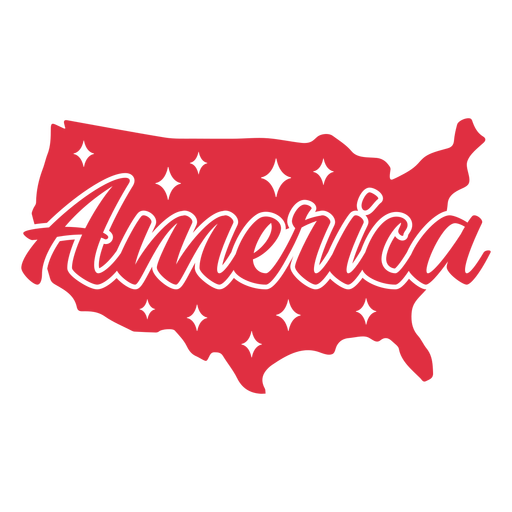
America map cut out PNG Design
Choose a folder
All favorites
Create new
Save
America map cut out PNG Design
Patriot america badge lettering PNG Design
Choose a folder
All favorites
Create new
Save
Patriot america badge lettering PNG Design
Merica american flag filled stroke badge PNG Design
Choose a folder
All favorites
Create new
Save
Merica american flag filled stroke badge PNG Design
American flag star filled stroke badge PNG Design
Choose a folder
All favorites
Create new
Save
American flag star filled stroke badge PNG Design
Editable text
Premium
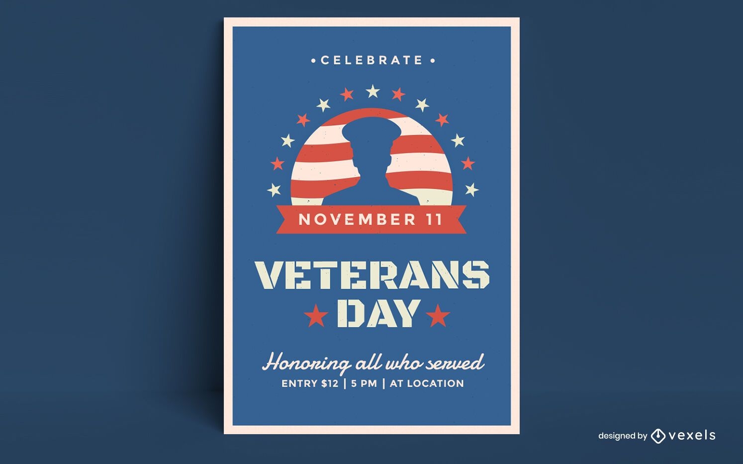
Veterans day poster design
Choose a folder
All favorites
Create new
Save
Veterans day poster design
Premium
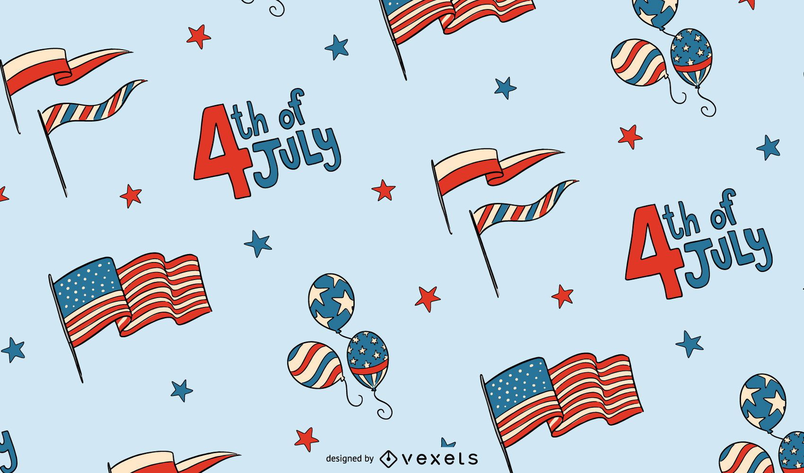
4th of July pattern design
Choose a folder
All favorites
Create new
Save
4th of July pattern design
American dollar bill flat icon PNG Design
Choose a folder
All favorites
Create new
Save
American dollar bill flat icon PNG Design
Balloon with stars PNG Design
Choose a folder
All favorites
Create new
Save
Balloon with stars PNG Design
Magic wand icon PNG Design
Choose a folder
All favorites
Create new
Save
Magic wand icon PNG Design
Patriotic american cap PNG Design
Choose a folder
All favorites
Create new
Save
Patriotic american cap PNG Design
Patriotic star fireworks element PNG Design
Choose a folder
All favorites
Create new
Save
Patriotic star fireworks element PNG Design
Premium
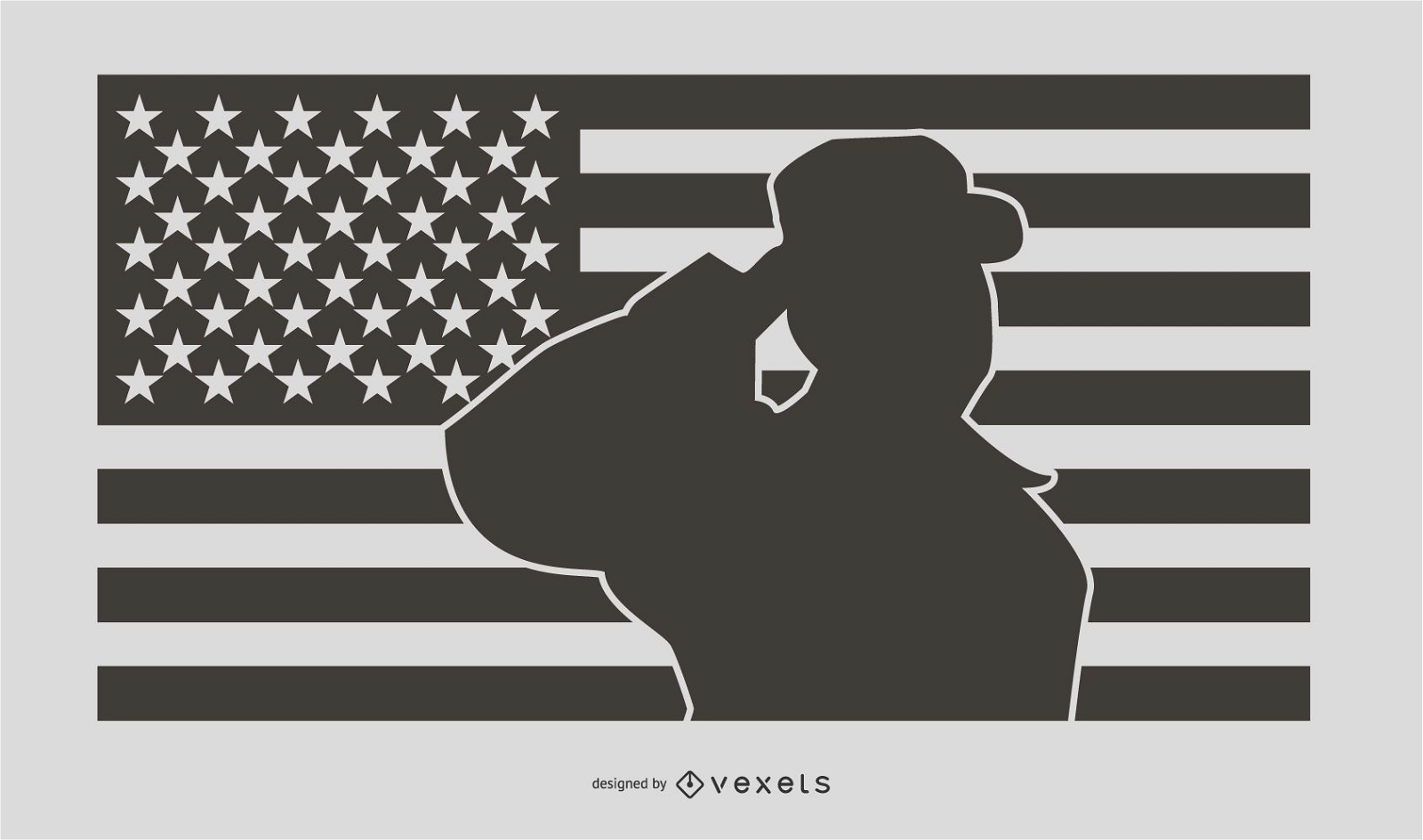
Military Man Salute Silhouette Design
Choose a folder
All favorites
Create new
Save
Military Man Salute Silhouette Design
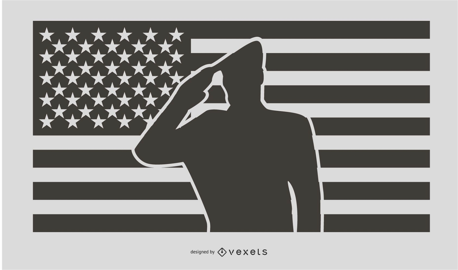
Military Salute Silhouette Design
Choose a folder
All favorites
Create new
Save
Military Salute Silhouette Design
Editable text
Premium
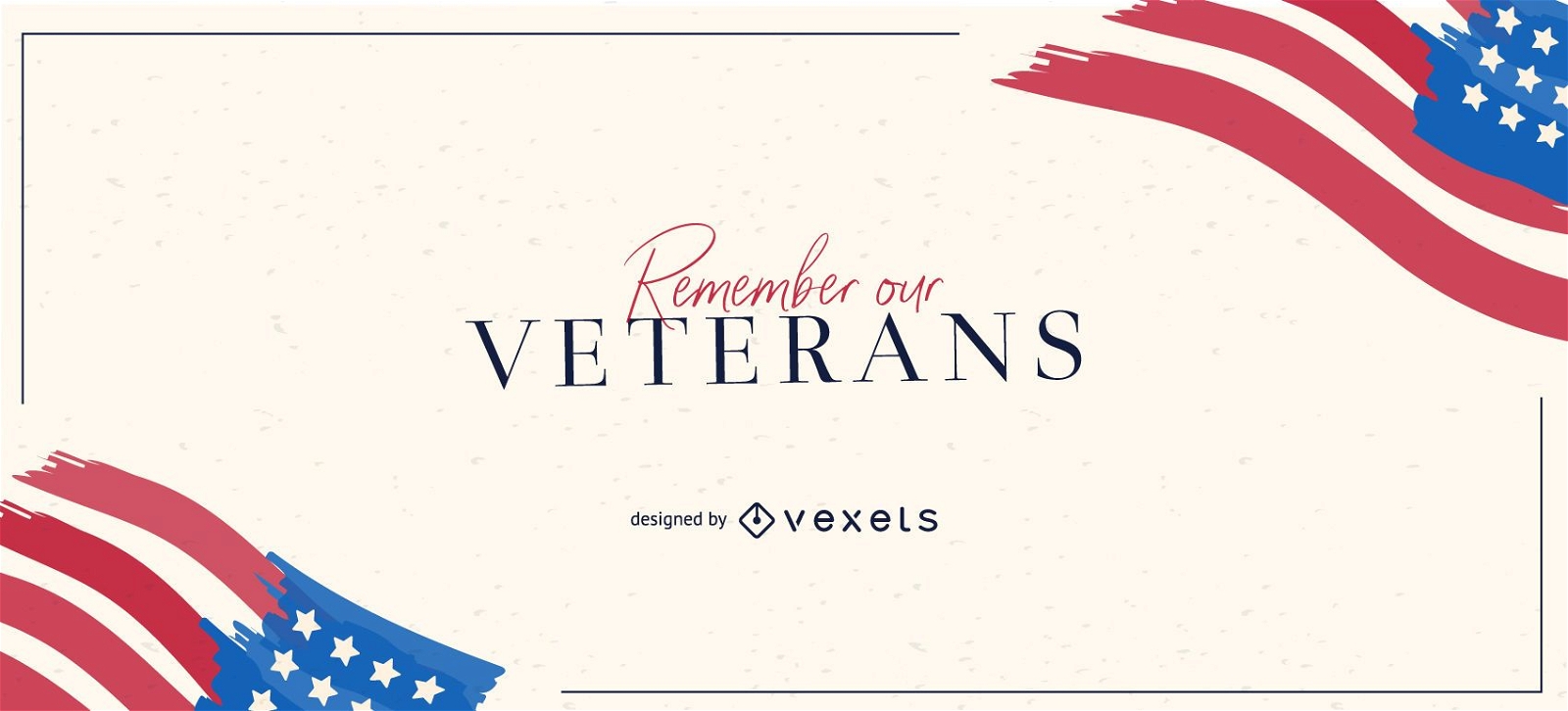
Remember our veterans slider design
Choose a folder
All favorites
Create new
Save
Remember our veterans slider design
Tileable pattern
Premium
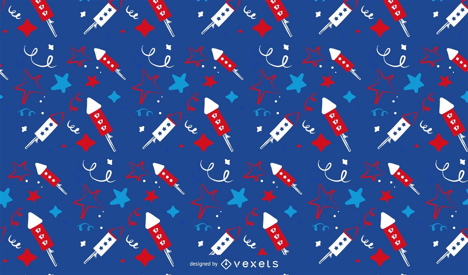
Colorful rocket and star pattern
Choose a folder
All favorites
Create new
Save
Colorful rocket and star pattern
Premium
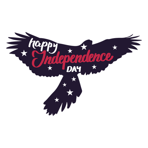
Happy independence day eagle wing sticker PNG Design
Choose a folder
All favorites
Create new
Save
Happy independence day eagle wing sticker PNG Design
Premium
Sheriff badge PNG Design
Choose a folder
All favorites
Create new
Save
Sheriff badge PNG Design
Premium
Native mask round icon PNG Design
Choose a folder
All favorites
Create new
Save
Native mask round icon PNG Design
AI generated, curated by our designers
for Merch
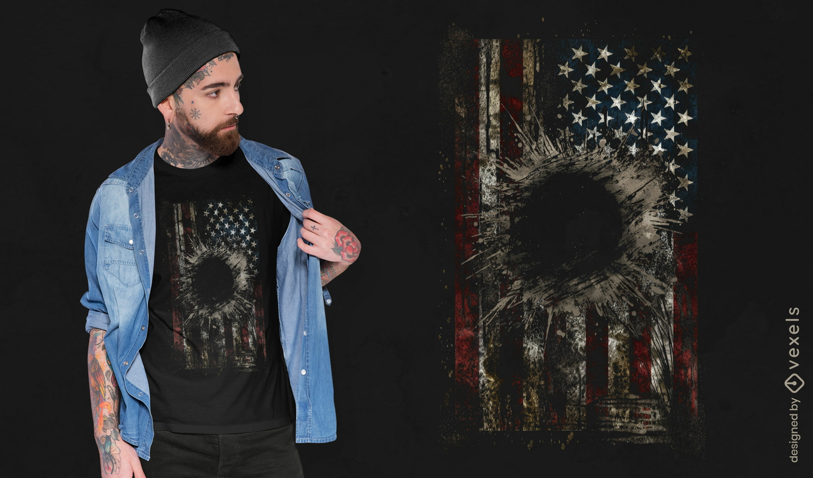
Grunge American flag explosion t-shirt design
Choose a folder
All favorites
Create new
Save
Grunge American flag explosion t-shirt design
Print ready
for Merch
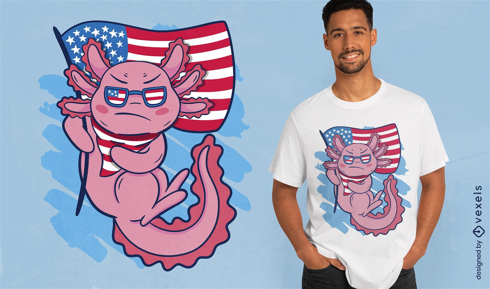
Axolotl and american flag t-shirt design
Choose a folder
All favorites
Create new
Save
Axolotl and american flag t-shirt design
Print ready
for Merch
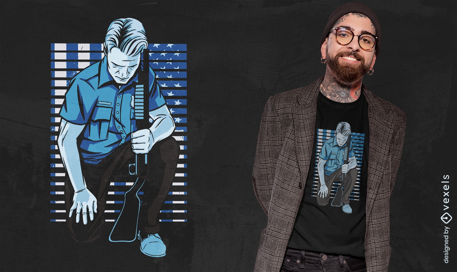
Policeman kneeling t-shirt design
Choose a folder
All favorites
Create new
Save
Policeman kneeling t-shirt design
Print ready
for Merch
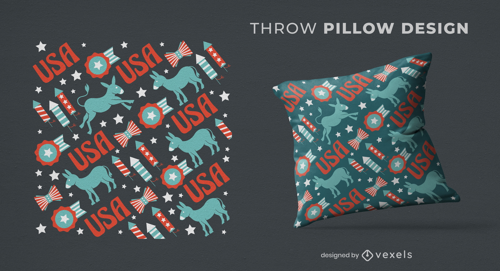
USA democrats pattern throw pillow design
Choose a folder
All favorites
Create new
Save
USA democrats pattern throw pillow design
Editable text
Print ready
for Merch
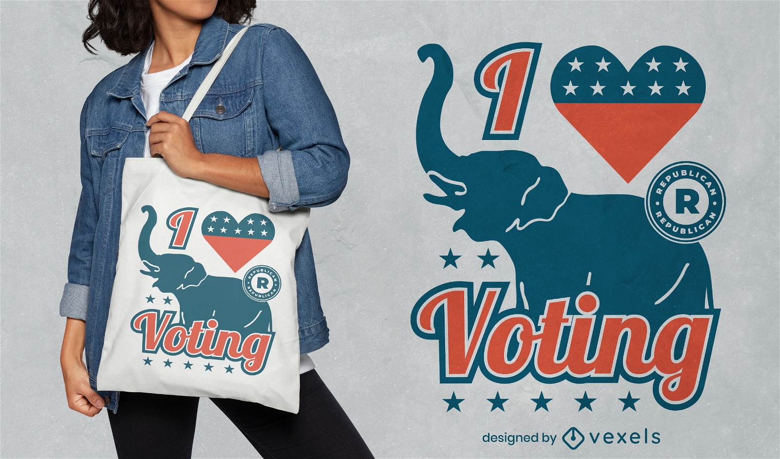
I love voting Republicans tote bag design
Choose a folder
All favorites
Create new
Save
I love voting Republicans tote bag design
Print ready
for Merch
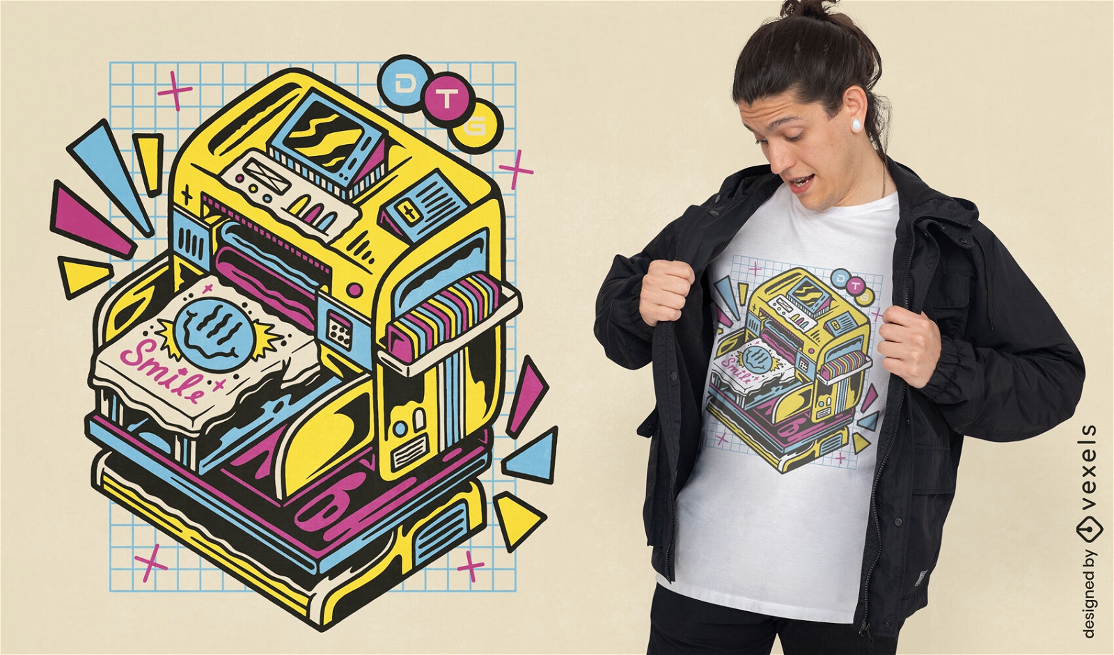
DTG printer machine t-shirt design
Choose a folder
All favorites
Create new
Save
DTG printer machine t-shirt design
Talk freedom to me filled stroke PNG Design
Choose a folder
All favorites
Create new
Save
Talk freedom to me filled stroke PNG Design
American vibes retro quote PNG Design
Choose a folder
All favorites
Create new
Save
American vibes retro quote PNG Design
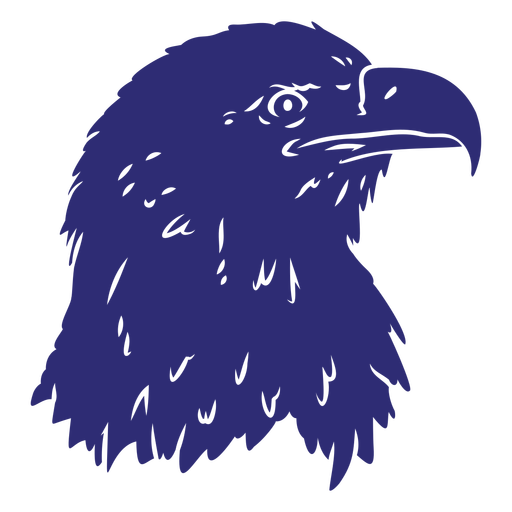
Bald eagle face cut out PNG Design
Choose a folder
All favorites
Create new
Save
Bald eagle face cut out PNG Design
Abraham Lincoln face cut out PNG Design
Choose a folder
All favorites
Create new
Save
Abraham Lincoln face cut out PNG Design
Party like its 1776 badge PNG Design
Choose a folder
All favorites
Create new
Save
Party like its 1776 badge PNG Design
Star american flag badge filled stroke PNG Design
Choose a folder
All favorites
Create new
Save
Star american flag badge filled stroke PNG Design
Boost Your Business
With The Leading Graphic Platform For Merch.
SEE PLANS
Next
of 69
prev page
next page