Design Library
New Merch Designs
T-Shirts
Vectors
Trending Merch Designs
PNGs & SVGs
Mockups
T-Shirt PSD Templates
Explore Designs
KDP Designs
Posters
Mugs
Phone Cases
Tote Bags
Pillows
Design Tools
Merch Designer
New!
Mockup Generator
AI Design Generator
Image Vectorizer
Quote Generator
T-Shirt Maker (Old)
Resources
Merch Digest
Blog
Help Center
Learn About Merch
Feedback
Corporate Solutions
Enterprise
API Access
Design Studio
Bulk Design Production
Pricing
Loading...
Sign Up
Login
All
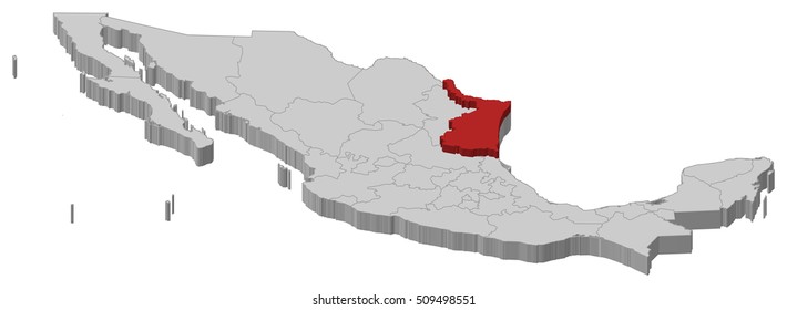
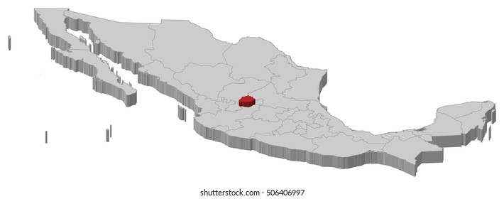
estados
Design Library
New Merch Designs
T-Shirts
Vectors
Trending Merch Designs
PNGs & SVGs
Mockups
T-Shirt PSD Templates
Explore Designs
KDP Designs
Posters
Mugs
Phone Cases
Tote Bags
Pillows
Design Tools
Merch Designer
New!
Mockup Generator
AI Design Generator
Image Vectorizer
Quote Generator
T-Shirt Maker (Old)
Resources
Merch Digest
Blog
Help Center
Learn About Merch
Feedback
Corporate Solutions
Enterprise
API Access
Design Studio
Bulk Design Production
PLANS
All
estados
3409 estados designs graphics for t-shirt and print on demand merch
Download estados t-shirt designs and other merch graphics like book covers, phone cases, tote bags and more.
Sort by
Most relevant
Sponsored results by
Get 15% off with code: VEXELS15
Show more
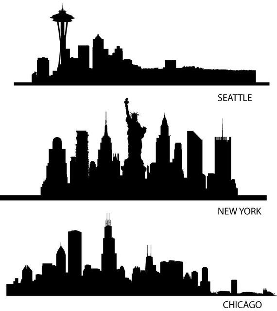
Skyline USA Silhouettes
Choose a folder
All favorites
Create new
Save
Skyline USA Silhouettes
Print ready
for Merch
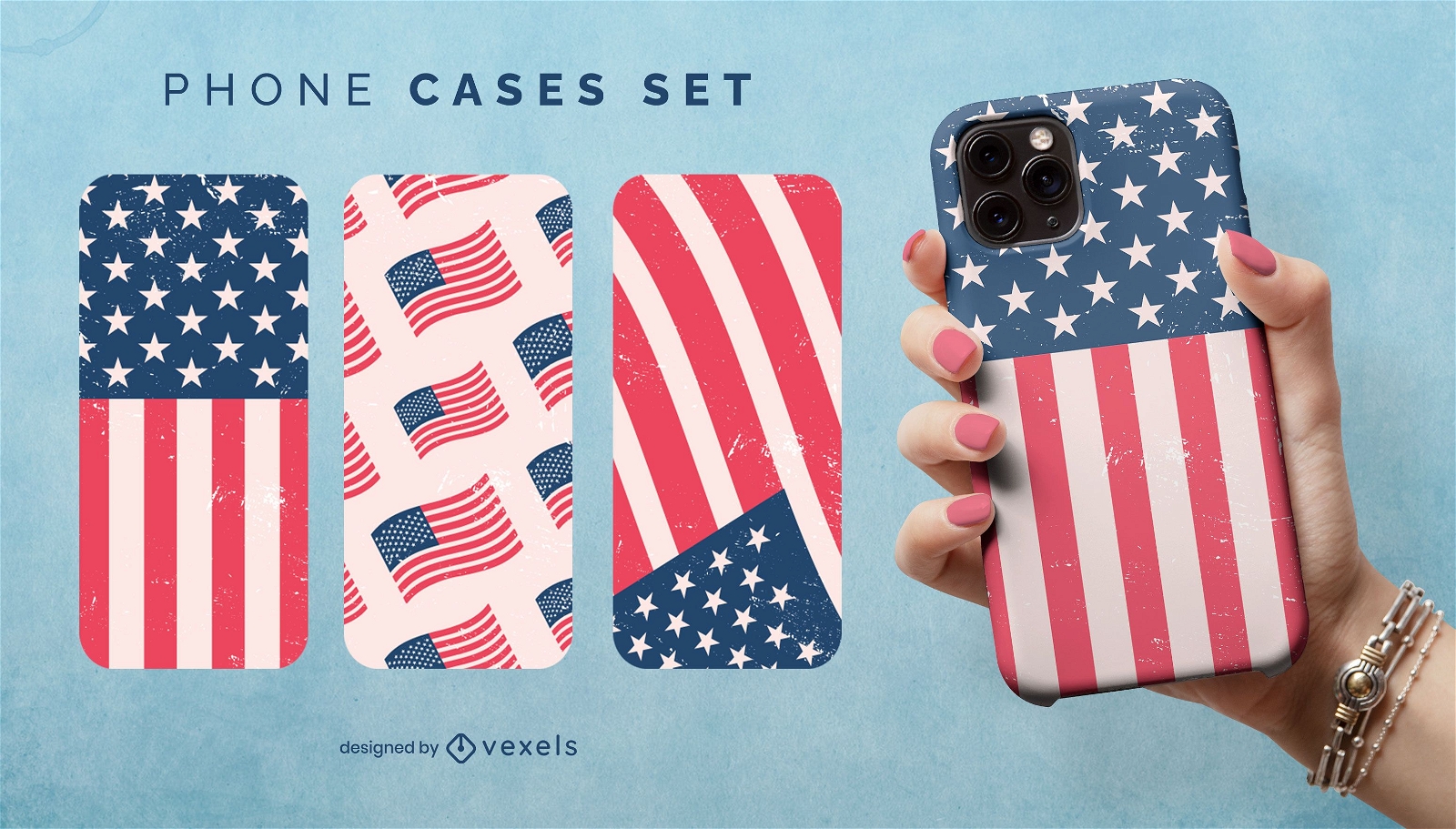
US flag phone case set
Choose a folder
All favorites
Create new
Save
US flag phone case set
Print ready
for Merch
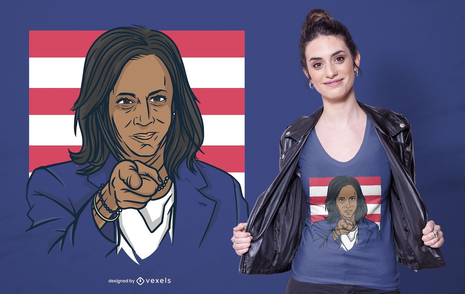
Kamala harris t-shirt design
Choose a folder
All favorites
Create new
Save
Kamala harris t-shirt design
Print ready
for Merch
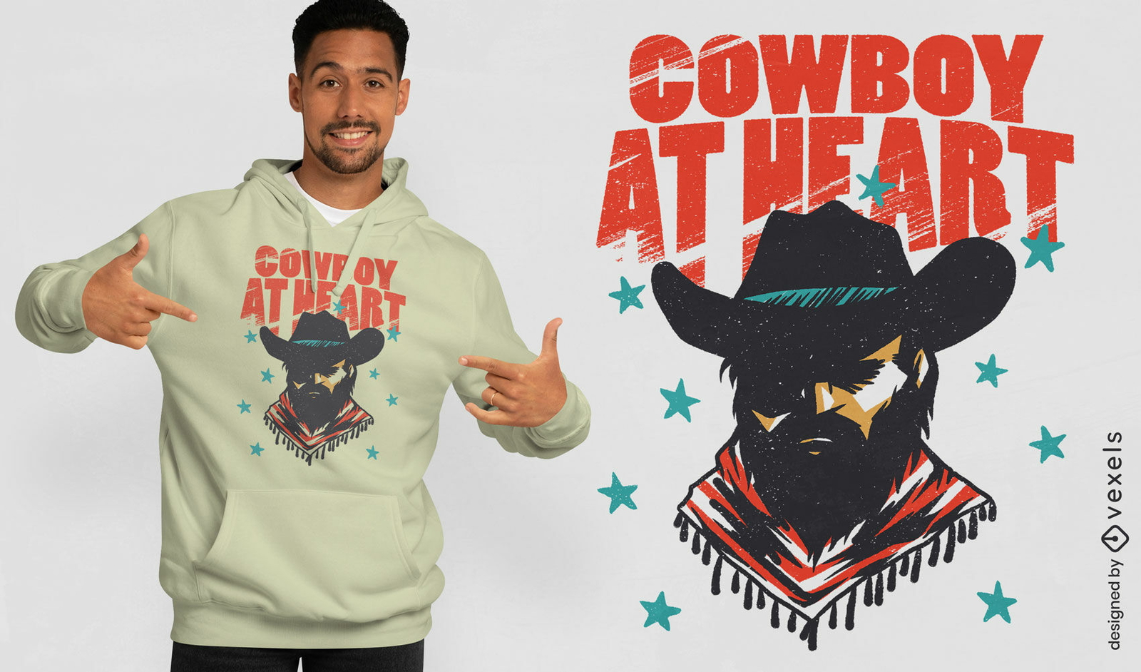
Cowboy at heart psd t-shirt design
Choose a folder
All favorites
Create new
Save
Cowboy at heart psd t-shirt design
Editable text
Print ready
for Merch
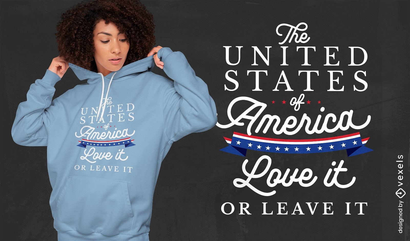
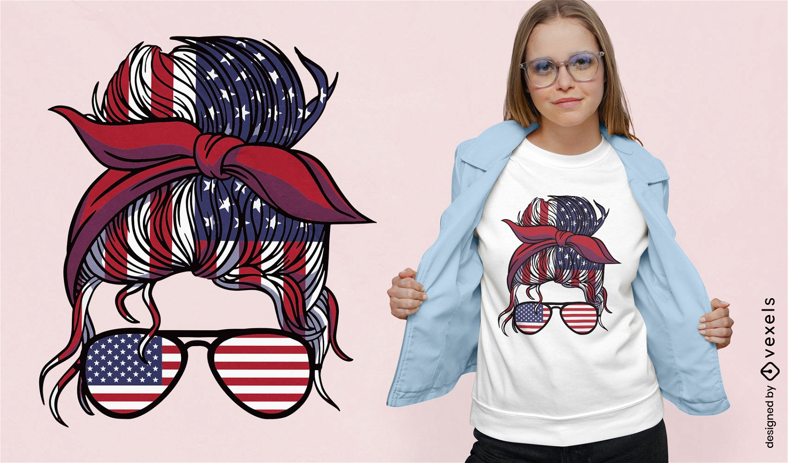
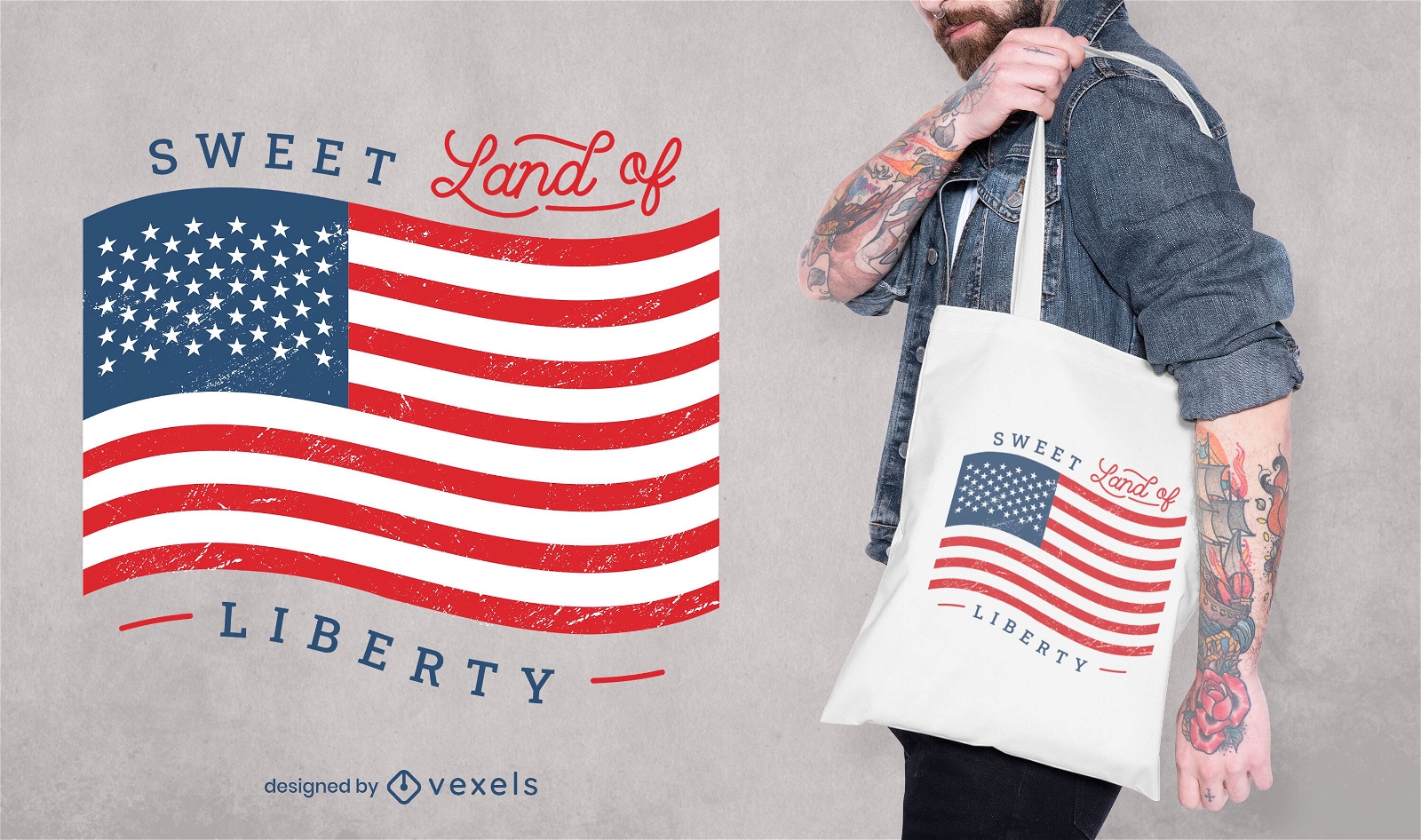
USA love t-shirt design
Choose a folder
All favorites
Create new
Save
USA love t-shirt design
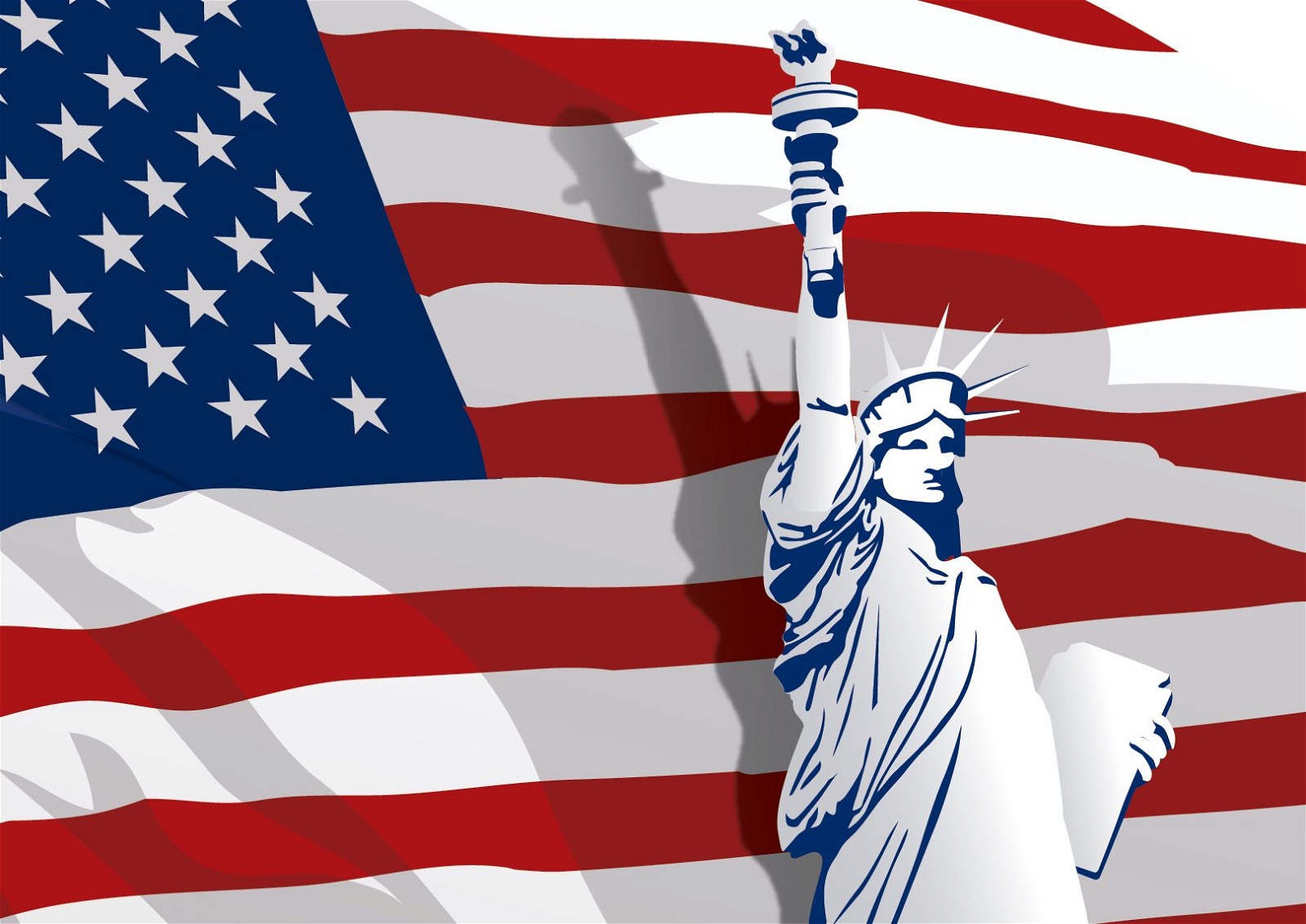
Independece Day with Liberty Satue
Choose a folder
All favorites
Create new
Save
Independece Day with Liberty Satue
Premium
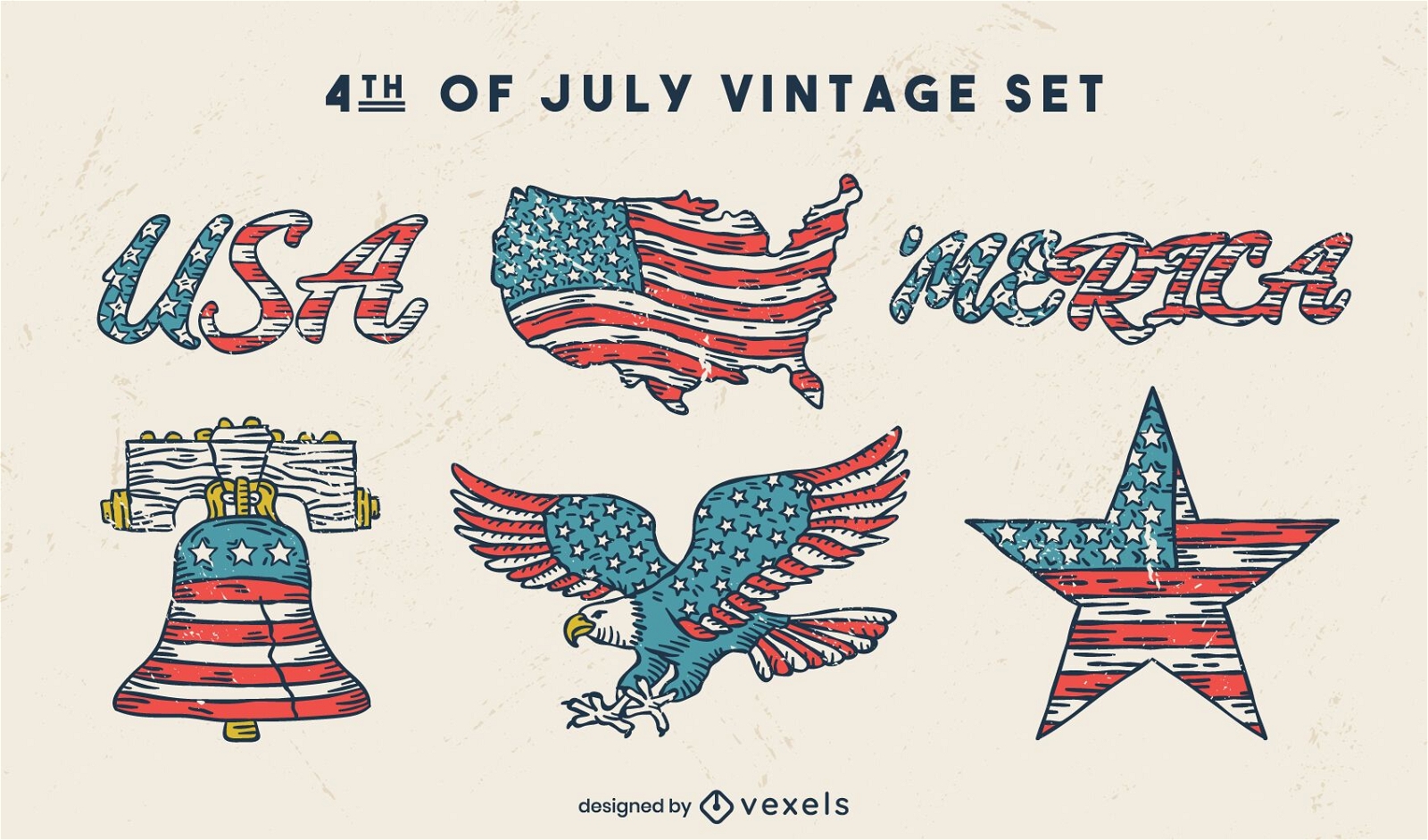
Fourth of july american holiday vintage set
Choose a folder
All favorites
Create new
Save
Fourth of july american holiday vintage set
Print ready
for Merch
Veteran son quote t-shirt design
Choose a folder
All favorites
Create new
Save
Veteran son quote t-shirt design
Premium
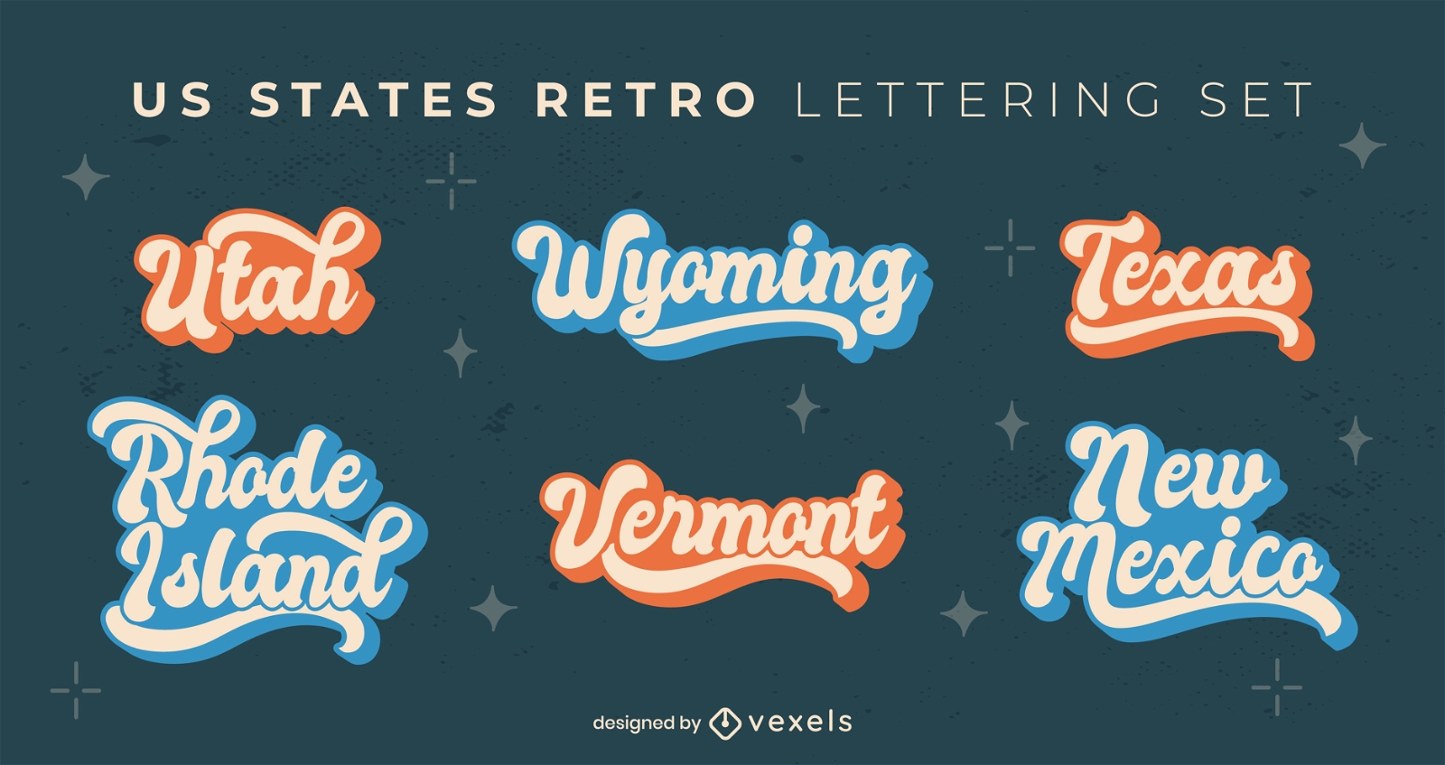
North America state names set
Choose a folder
All favorites
Create new
Save
North America state names set
Premium
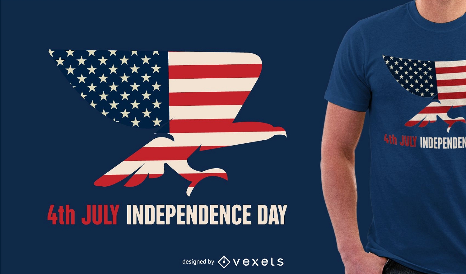
Independence Day design tshirt
Choose a folder
All favorites
Create new
Save
Independence Day design tshirt
Print ready
for Merch
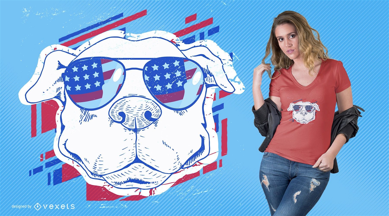
American dog with sunglasses
Choose a folder
All favorites
Create new
Save
American dog with sunglasses
Print ready
for Merch
Plane boarding pass cities phone case set
Choose a folder
All favorites
Create new
Save
Plane boarding pass cities phone case set
Trump and Obama silhouette
Choose a folder
All favorites
Create new
Save
Trump and Obama silhouette
for Merch
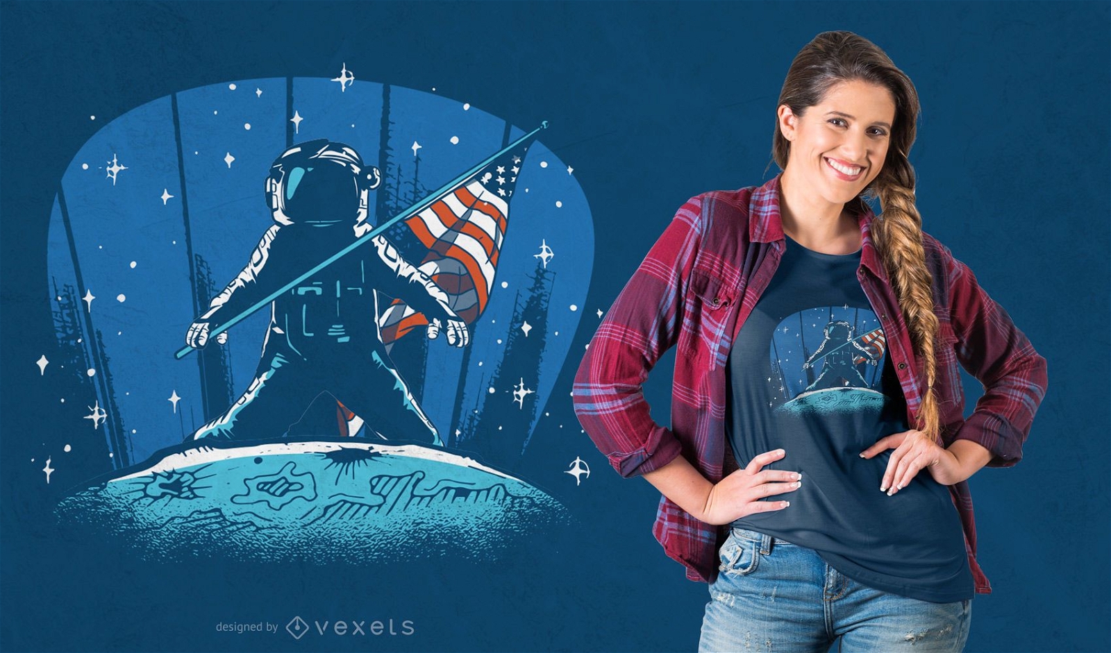
Astronaut moon landing t-shirt design
Choose a folder
All favorites
Create new
Save
Astronaut moon landing t-shirt design
Print ready
for Merch
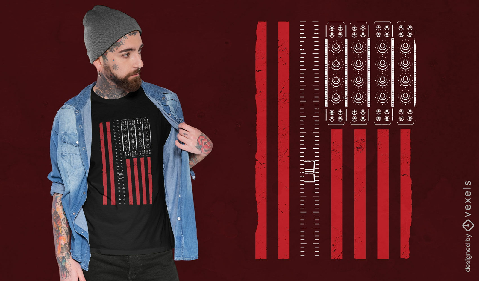
USA flag with synthesizer t-shirt design
Choose a folder
All favorites
Create new
Save
USA flag with synthesizer t-shirt design
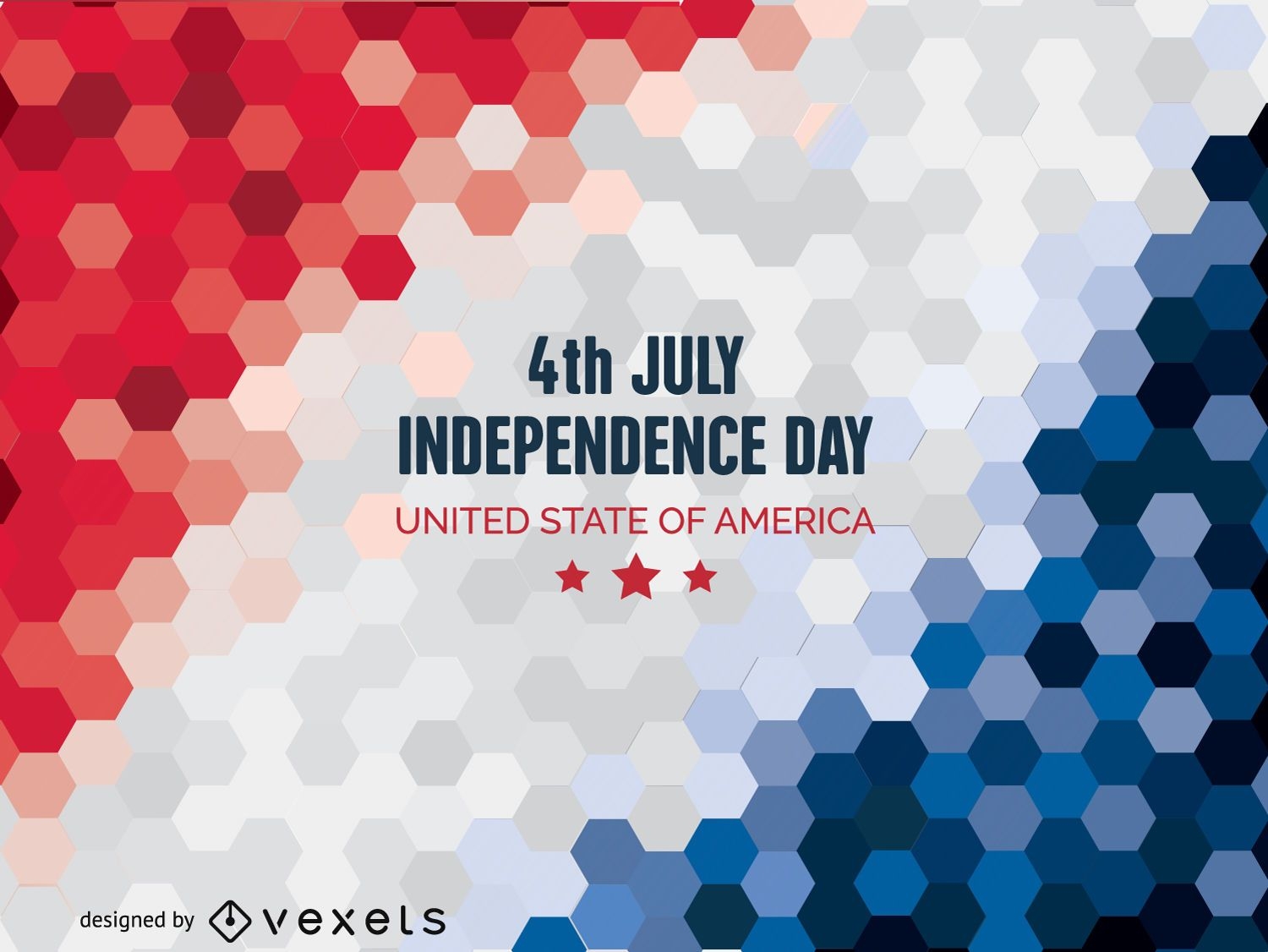
Independence Day background
Choose a folder
All favorites
Create new
Save
Independence Day background
Print ready
for Merch
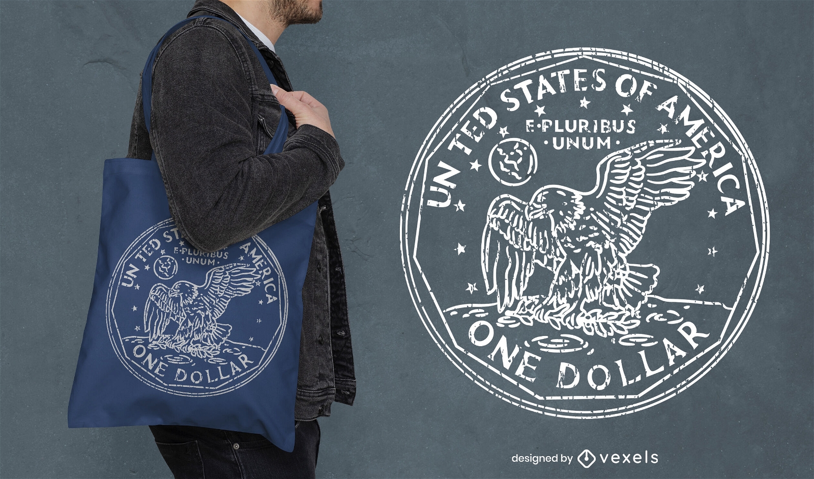
American one dollar coin tote bag design
Choose a folder
All favorites
Create new
Save
American one dollar coin tote bag design
Premium
Land of liberty 4th of july lettering
Choose a folder
All favorites
Create new
Save
Land of liberty 4th of july lettering
Print ready
for Merch
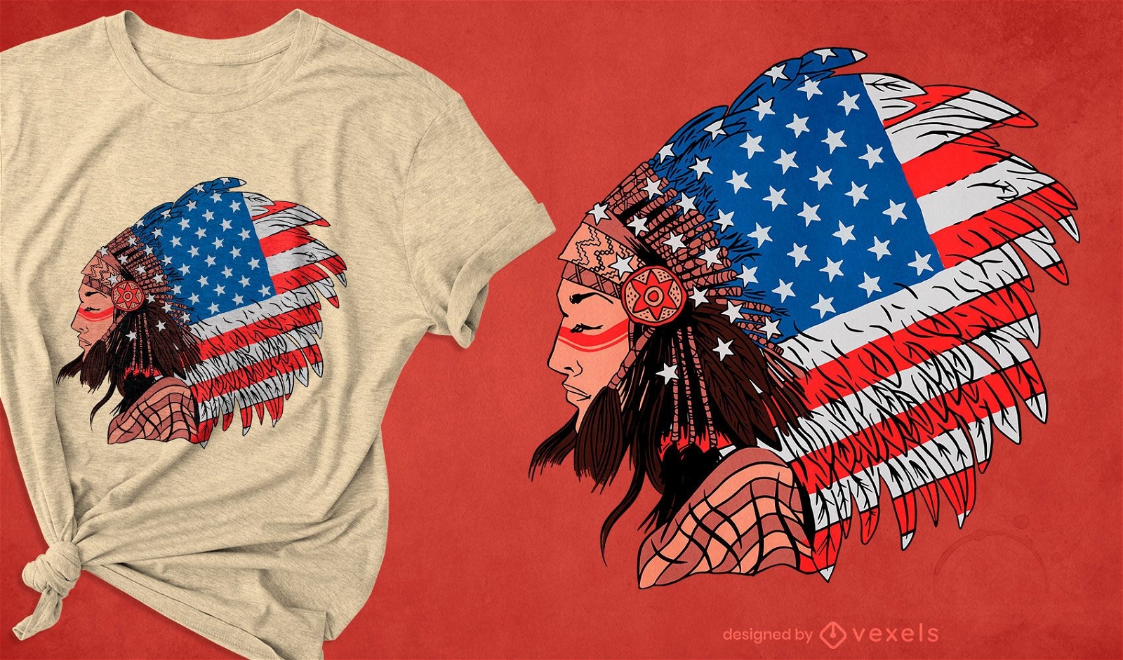
Native american woman t-shirt design
Choose a folder
All favorites
Create new
Save
Native american woman t-shirt design
Premium
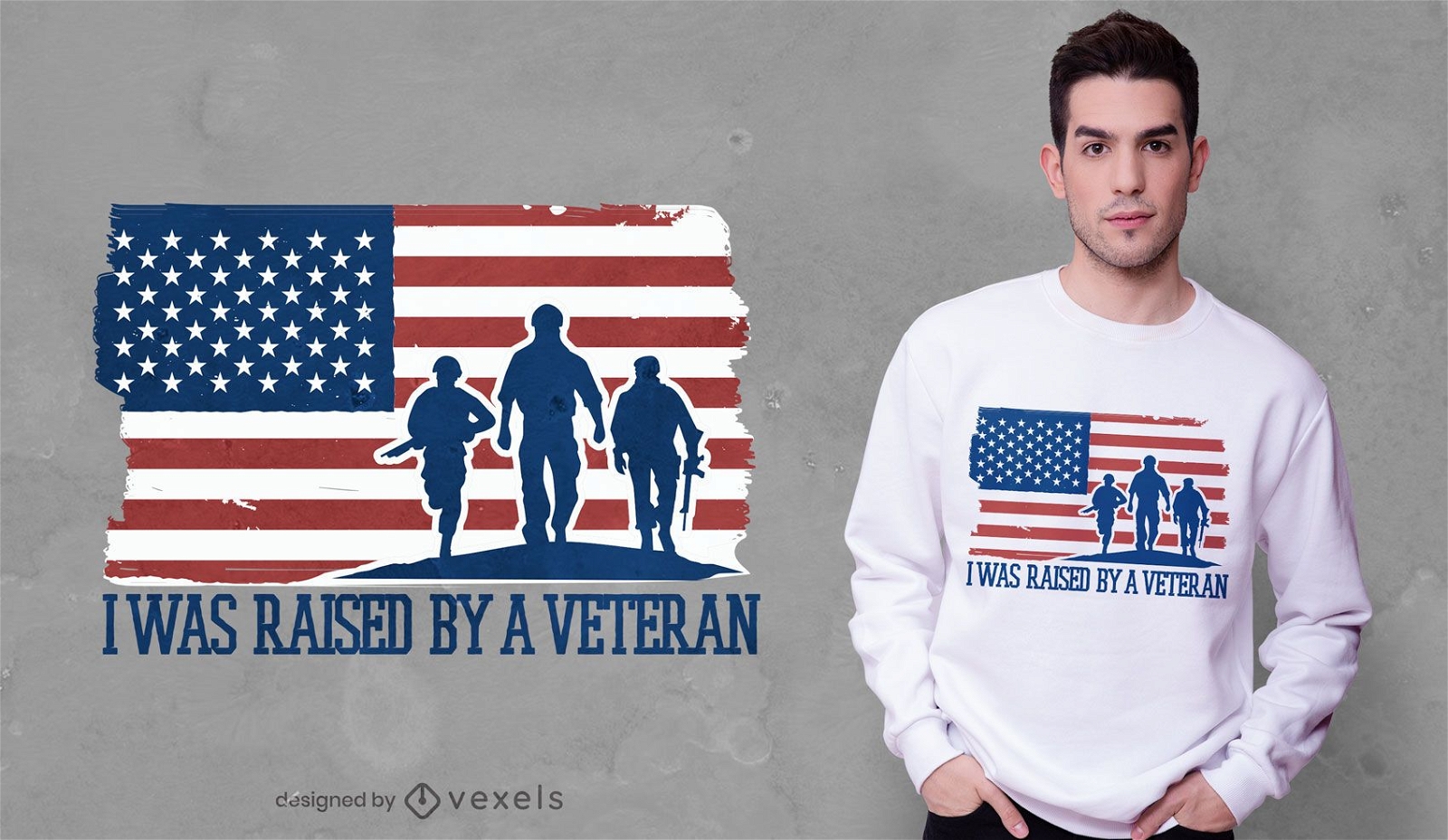
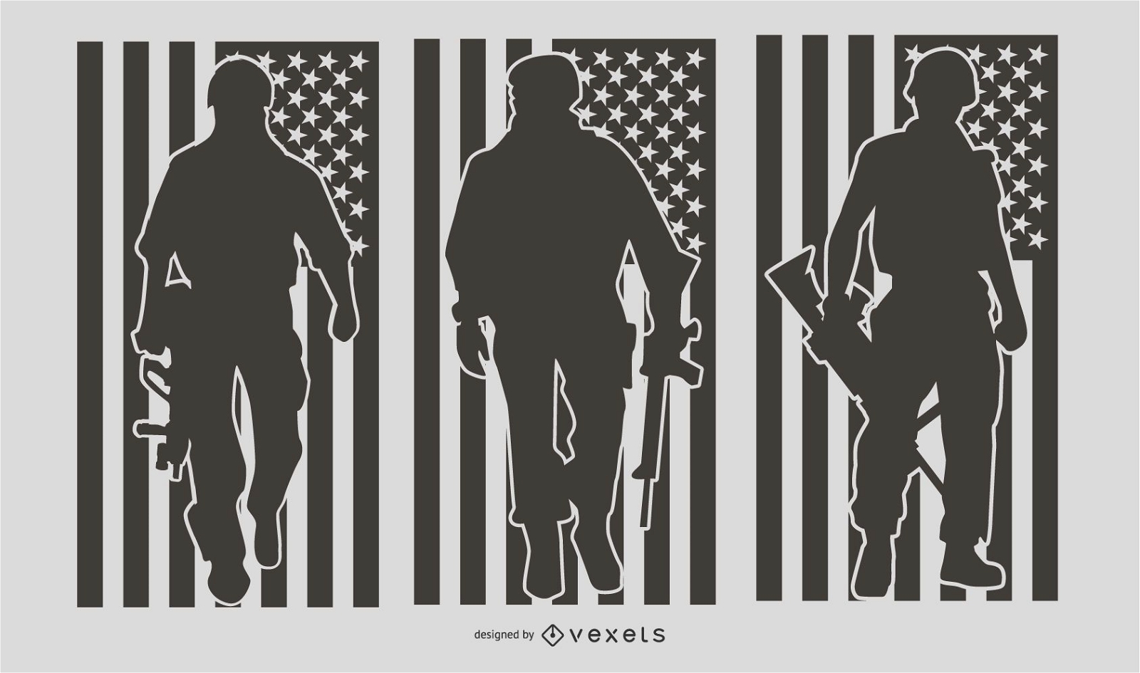
US Military People Silhouette Set
Choose a folder
All favorites
Create new
Save
US Military People Silhouette Set
for Merch
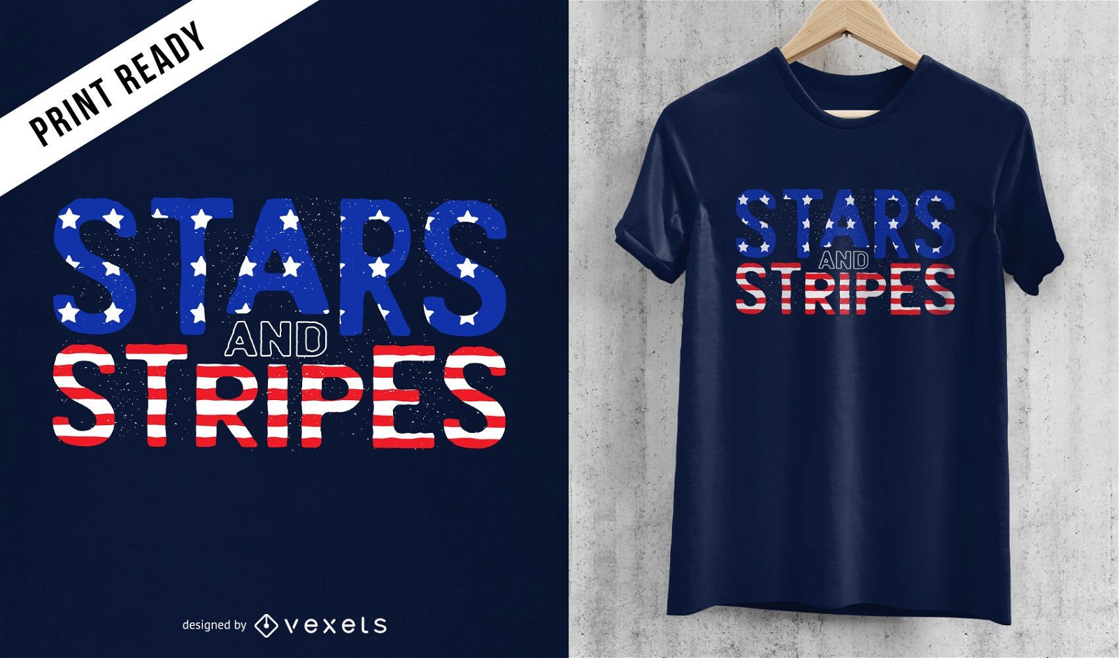
Stars and stripes t-shirt design
Choose a folder
All favorites
Create new
Save
Stars and stripes t-shirt design
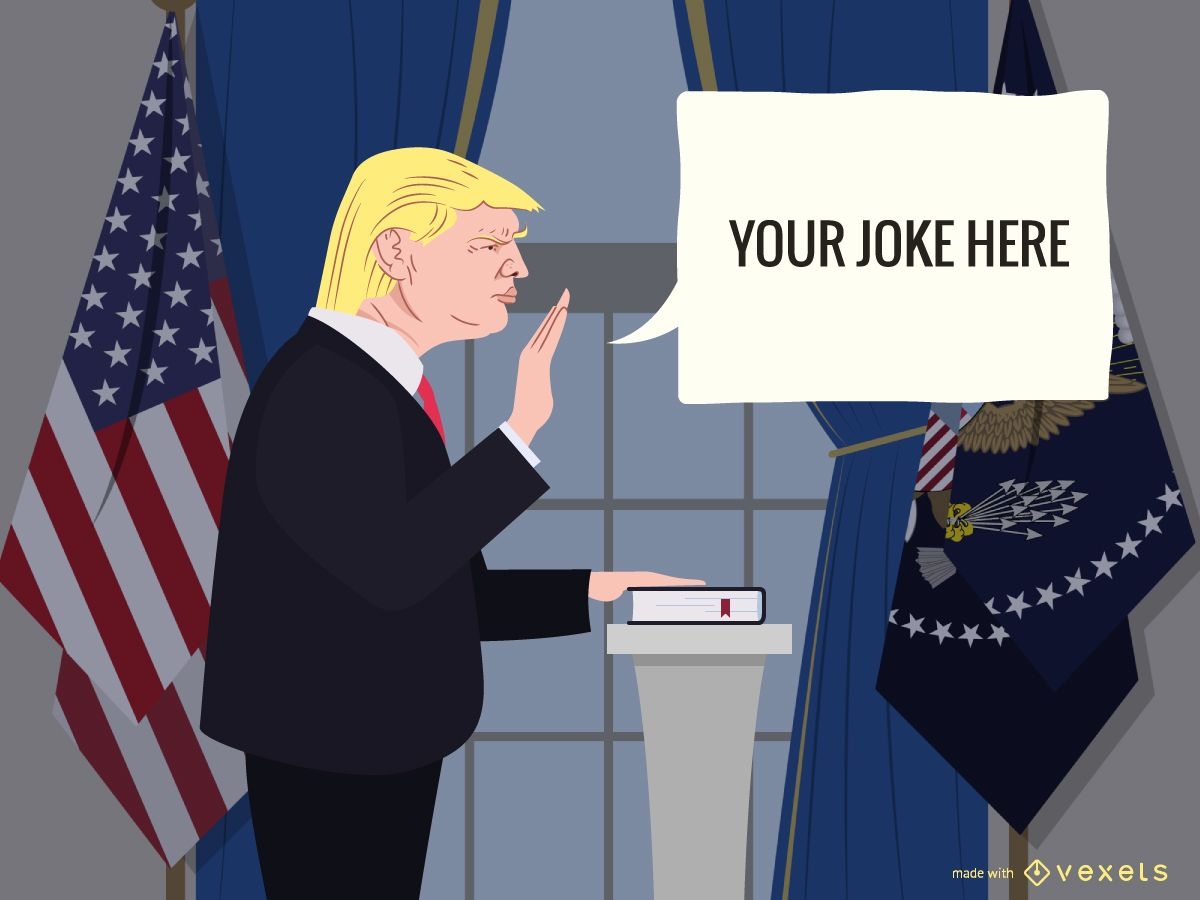
Donald Trump joke generator
Choose a folder
All favorites
Create new
Save
Donald Trump joke generator
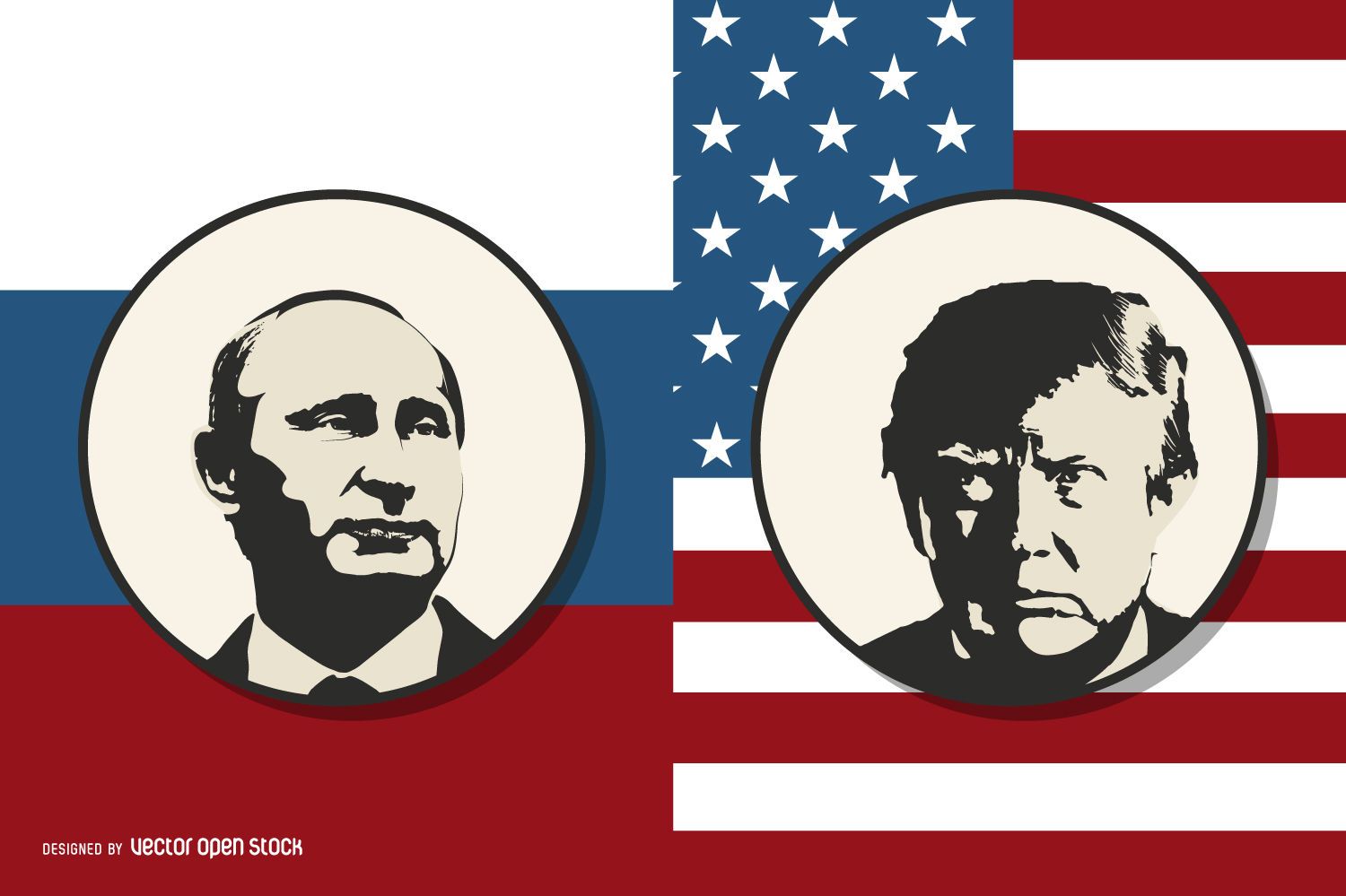
Putin vs Trump
Choose a folder
All favorites
Create new
Save
Putin vs Trump
Print ready
for Merch
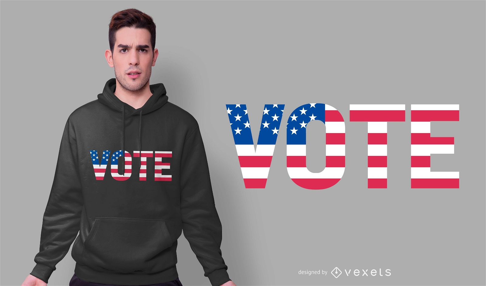
Vote usa t-shirt design
Choose a folder
All favorites
Create new
Save
Vote usa t-shirt design
Print ready
for Merch
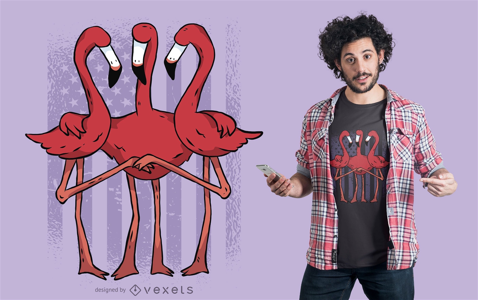
American flamingos t-shirt design
Choose a folder
All favorites
Create new
Save
American flamingos t-shirt design
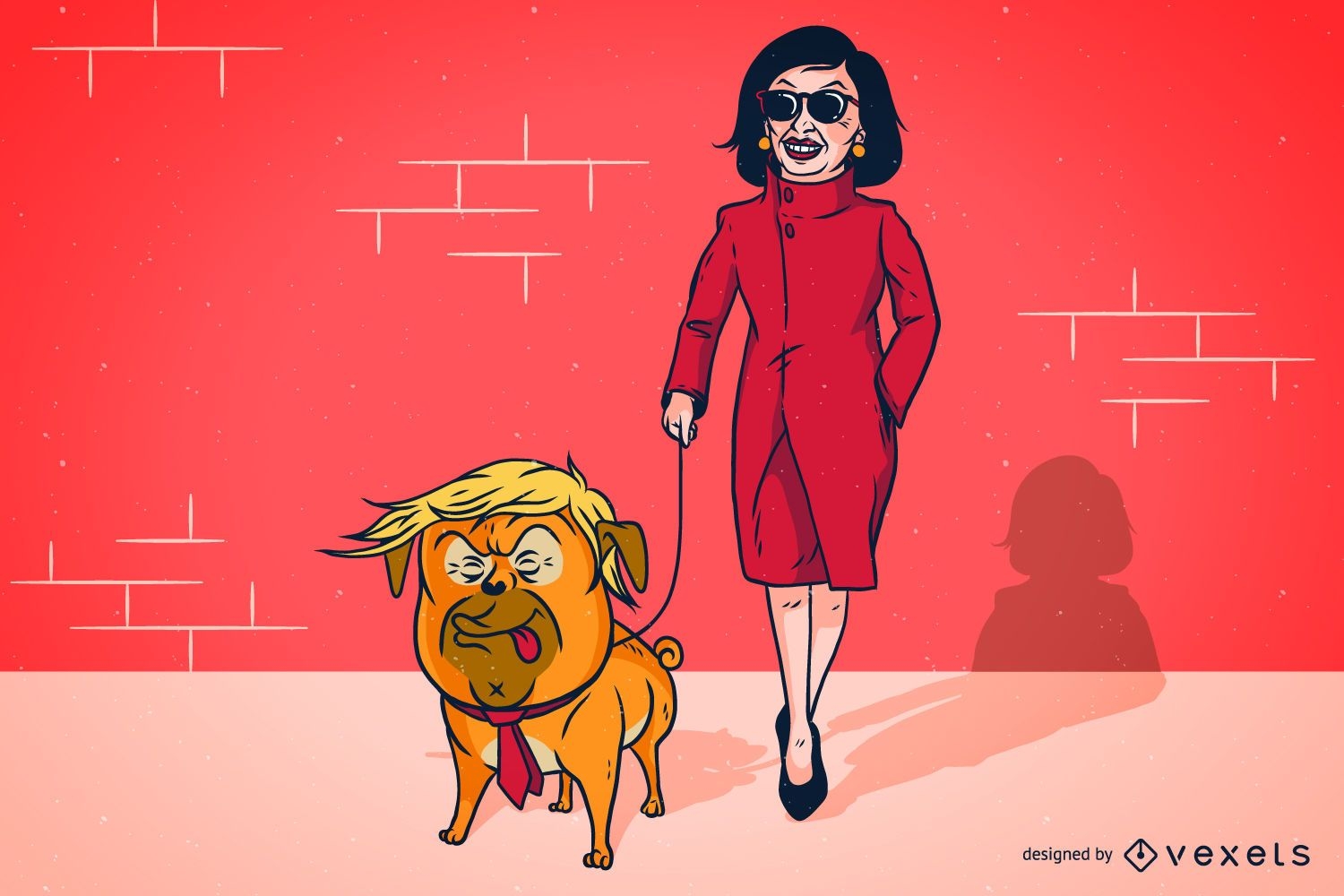
Trump Pelosi Parody Illustration Design
Choose a folder
All favorites
Create new
Save
Trump Pelosi Parody Illustration Design
Print ready
for Merch
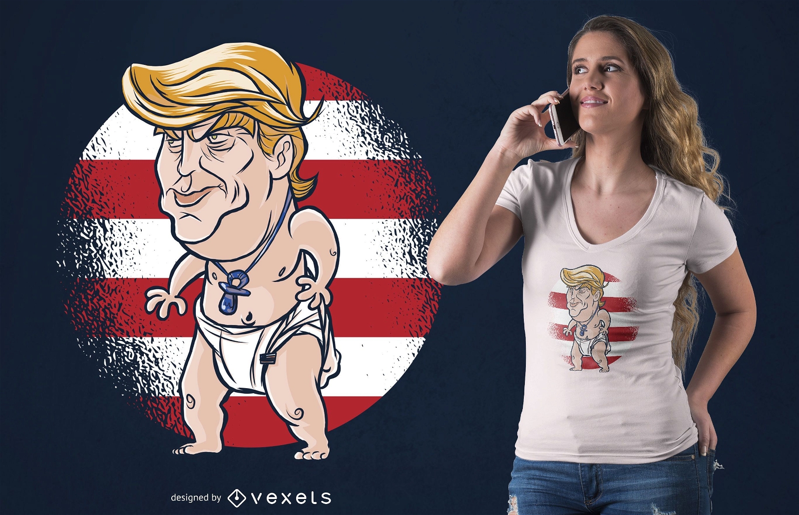
Baby Trump T-shirt Design
Choose a folder
All favorites
Create new
Save
Baby Trump T-shirt Design
Print ready
for Merch
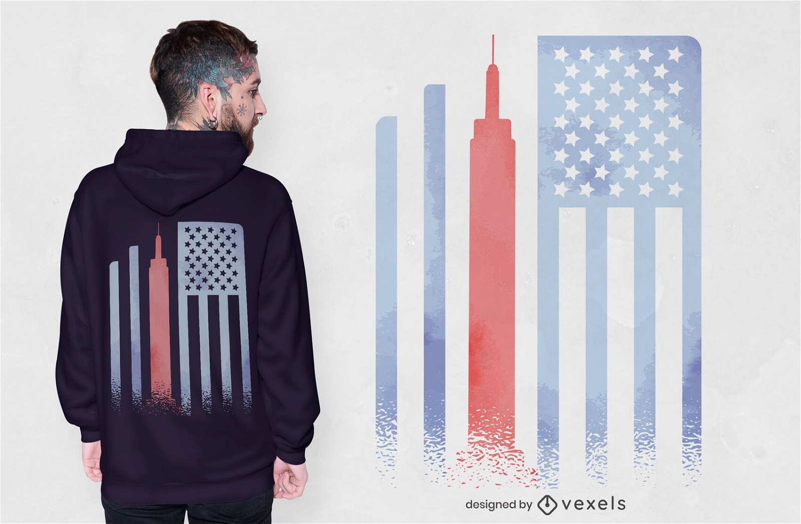
Empire state flag t-shirt design
Choose a folder
All favorites
Create new
Save
Empire state flag t-shirt design
Print ready
for Merch
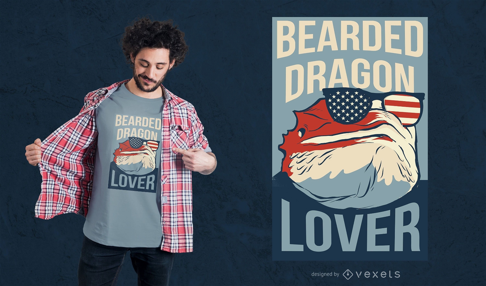
Bearded dragon lover t-shirt design
Choose a folder
All favorites
Create new
Save
Bearded dragon lover t-shirt design
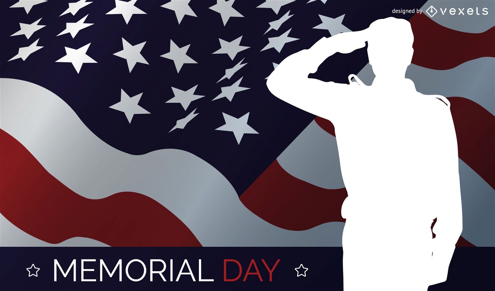
Memorial day salute design
Choose a folder
All favorites
Create new
Save
Memorial day salute design
Print ready
for Merch
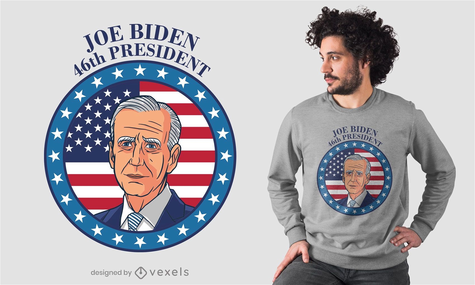
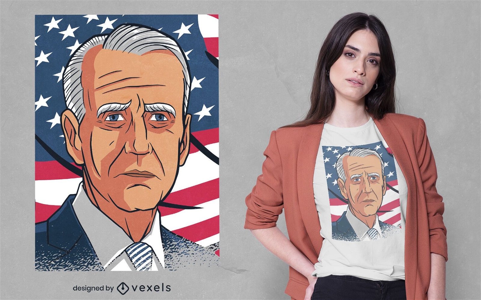
President biden t-shirt design
Choose a folder
All favorites
Create new
Save
President biden t-shirt design
Print ready
for Merch
Joe biden portrait t-shirt design
Choose a folder
All favorites
Create new
Save
Joe biden portrait t-shirt design
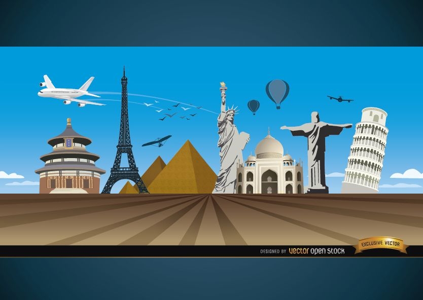
Travel marvels around world background
Choose a folder
All favorites
Create new
Save
Travel marvels around world background
Print ready
for Merch
American patriotic accessories t-shirt design
Choose a folder
All favorites
Create new
Save
American patriotic accessories t-shirt design
Print ready
for Merch
Flat Washington skyline t-shirt design
Choose a folder
All favorites
Create new
Save
Flat Washington skyline t-shirt design
Premium
Independence Day header
Choose a folder
All favorites
Create new
Save
Independence Day header
Tileable pattern
Premium
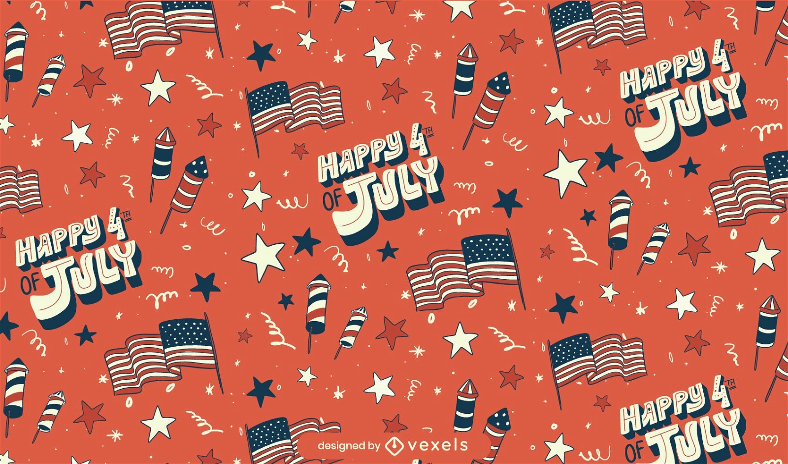
Fourth of july seamless pattern
Choose a folder
All favorites
Create new
Save
Fourth of july seamless pattern
Las Vegas city silhouettes on July 4th
Choose a folder
All favorites
Create new
Save
Las Vegas city silhouettes on July 4th
Print ready
for Merch
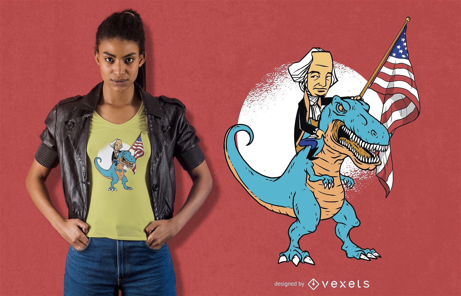
President Riding T-rex T-shirt Design
Choose a folder
All favorites
Create new
Save
President Riding T-rex T-shirt Design
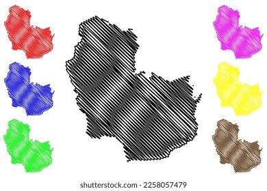
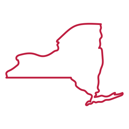
New York state stroke map PNG Design
Choose a folder
All favorites
Create new
Save
New York state stroke map PNG Design
Print ready
for Merch
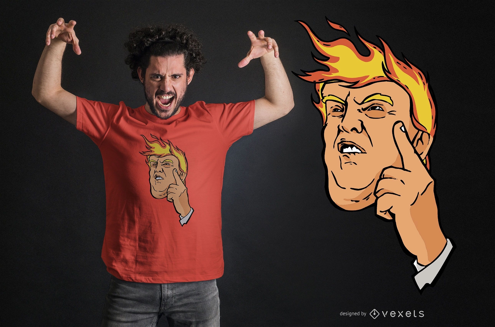
Trump fire t-shirt design
Choose a folder
All favorites
Create new
Save
Trump fire t-shirt design
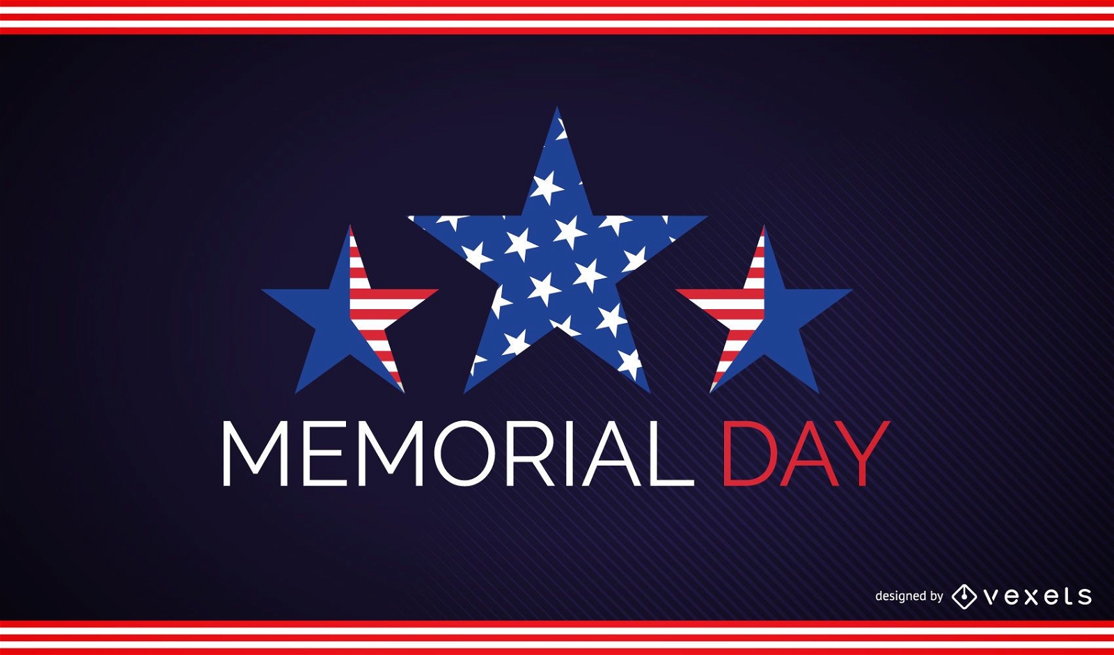
Memorial day stars design
Choose a folder
All favorites
Create new
Save
Memorial day stars design
Premium
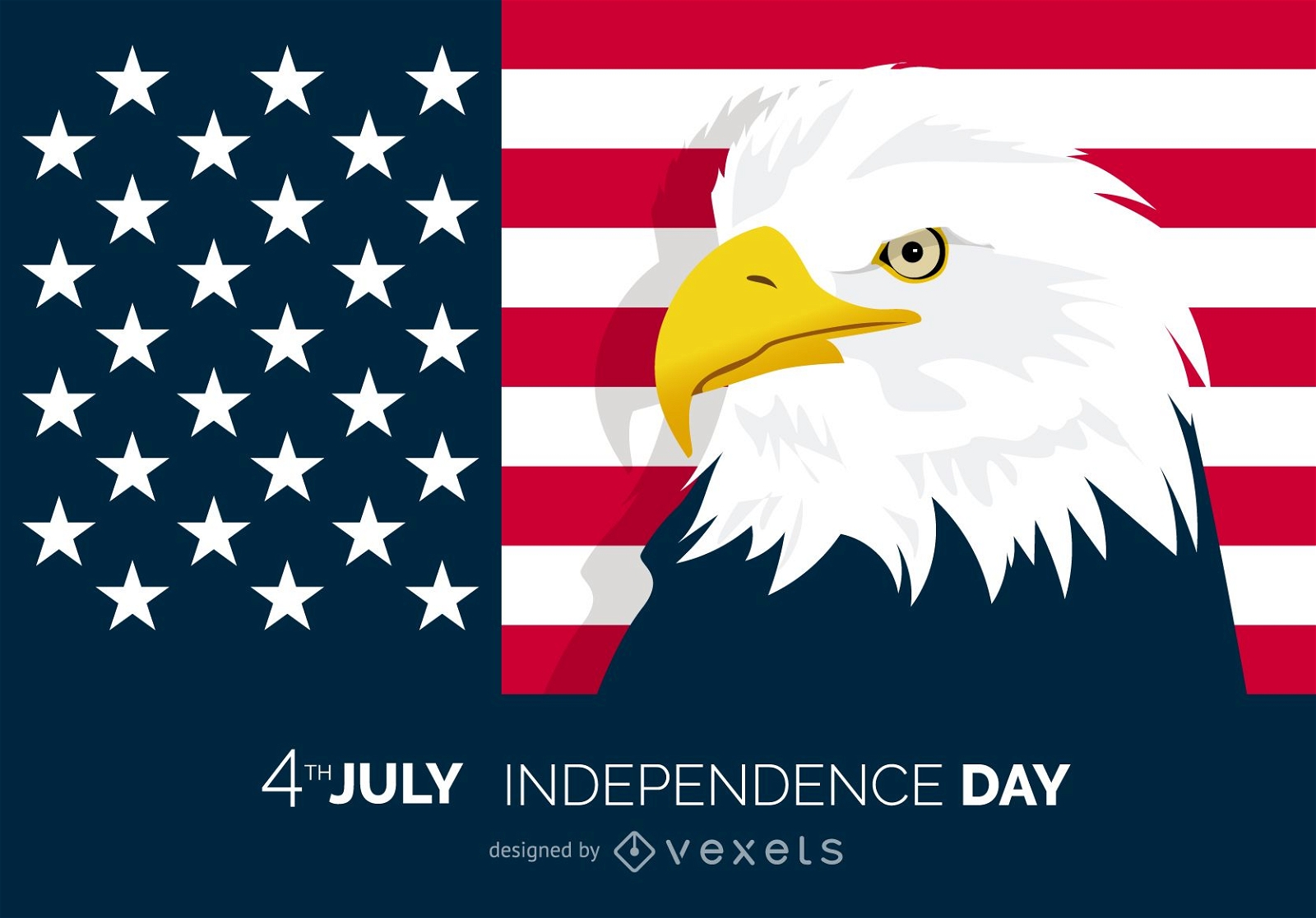
Patriotic 4th of July eagle design
Choose a folder
All favorites
Create new
Save
Patriotic 4th of July eagle design
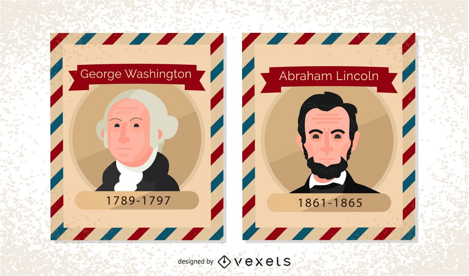
Vintage US President Postage Stamps
Choose a folder
All favorites
Create new
Save
Vintage US President Postage Stamps
Print ready
for Merch
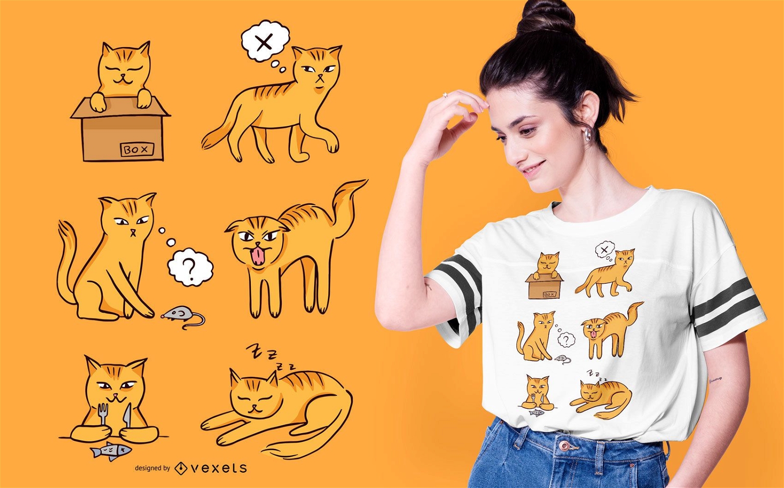
Cat moods t-shirt design
Choose a folder
All favorites
Create new
Save
Cat moods t-shirt design
Print ready
for Merch
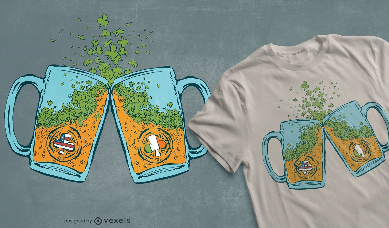
Usa irish beer t-shirt design
Choose a folder
All favorites
Create new
Save
Usa irish beer t-shirt design
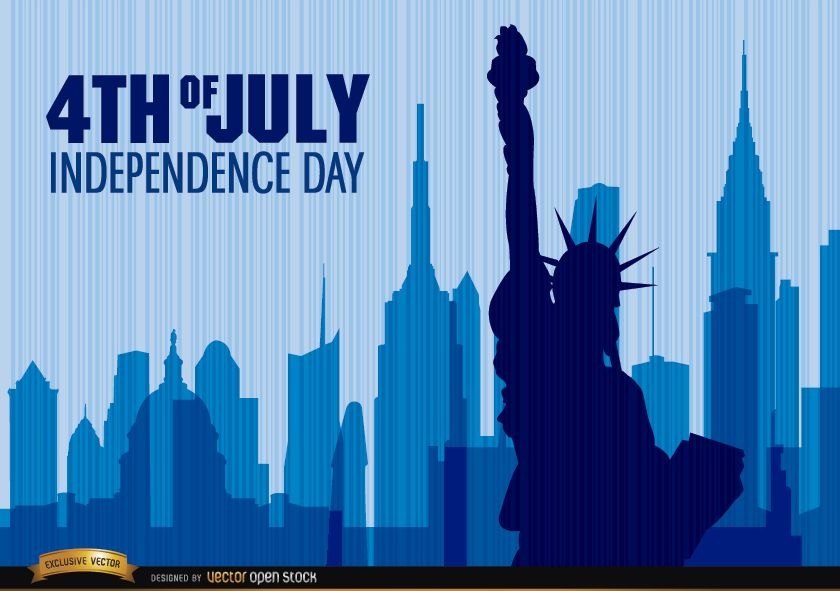
Independence Day Statue of Liberty
Choose a folder
All favorites
Create new
Save
Independence Day Statue of Liberty
Print ready
for Merch
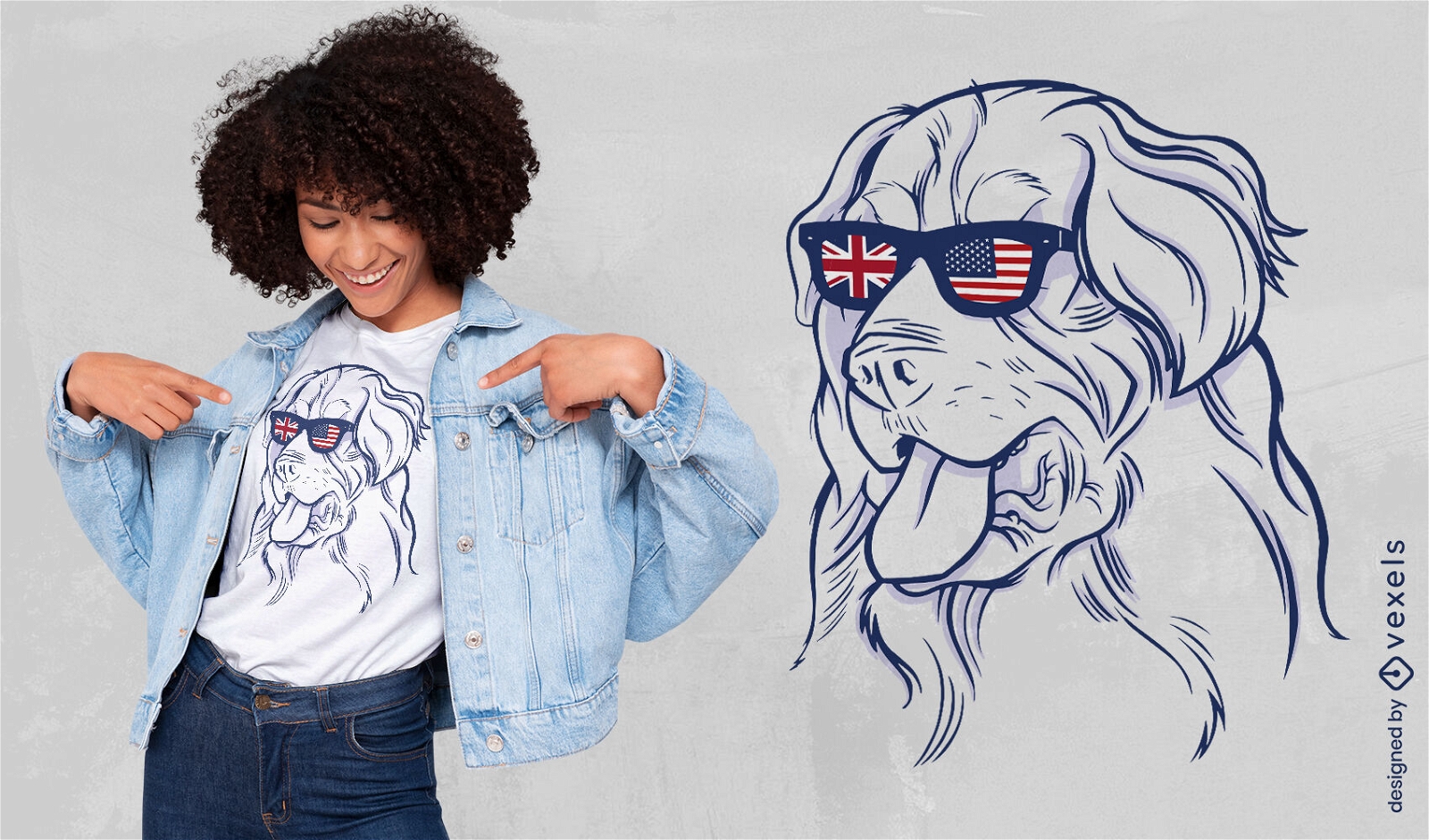
Dog US UK sunglasses t-shirt design
Choose a folder
All favorites
Create new
Save
Dog US UK sunglasses t-shirt design
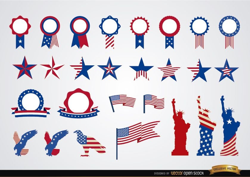
USA round ribbons and decoration set
Choose a folder
All favorites
Create new
Save
USA round ribbons and decoration set
Print ready
for Merch
Fourth of july tote bag design
Choose a folder
All favorites
Create new
Save
Fourth of july tote bag design
Boost Your Business
With The Leading Graphic Platform For Merch.
SEE PLANS
Next
of 69
prev page
next page