Design Library
New Merch Designs
T-Shirts
Vectors
Trending Merch Designs
PNGs & SVGs
Mockups
T-Shirt PSD Templates
Explore Designs
KDP Designs
Posters
Mugs
Phone Cases
Tote Bags
Pillows
Design Tools
Merch Designer
New!
Mockup Generator
AI Design Generator
Image Vectorizer
Quote Generator
T-Shirt Maker (Old)
Resources
Merch Digest
Blog
Help Center
Learn About Merch
Feedback
Corporate Solutions
Enterprise
API Access
Design Studio
Bulk Design Production
Pricing
Loading...
Sign Up
Login
All
estados
Design Library
New Merch Designs
T-Shirts
Vectors
Trending Merch Designs
PNGs & SVGs
Mockups
T-Shirt PSD Templates
Explore Designs
KDP Designs
Posters
Mugs
Phone Cases
Tote Bags
Pillows
Design Tools
Merch Designer
New!
Mockup Generator
AI Design Generator
Image Vectorizer
Quote Generator
T-Shirt Maker (Old)
Resources
Merch Digest
Blog
Help Center
Learn About Merch
Feedback
Corporate Solutions
Enterprise
API Access
Design Studio
Bulk Design Production
PLANS
All
estados
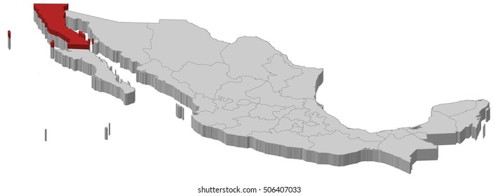
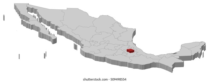
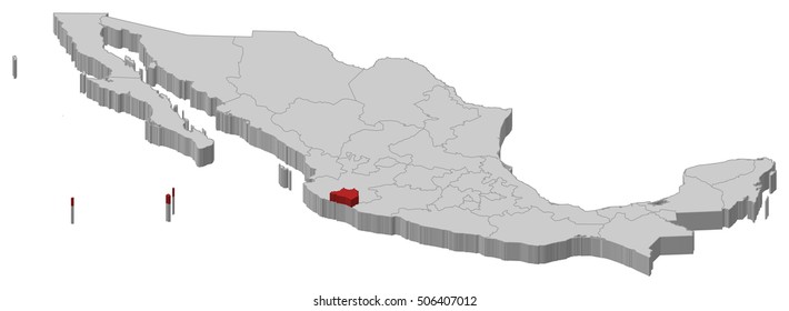
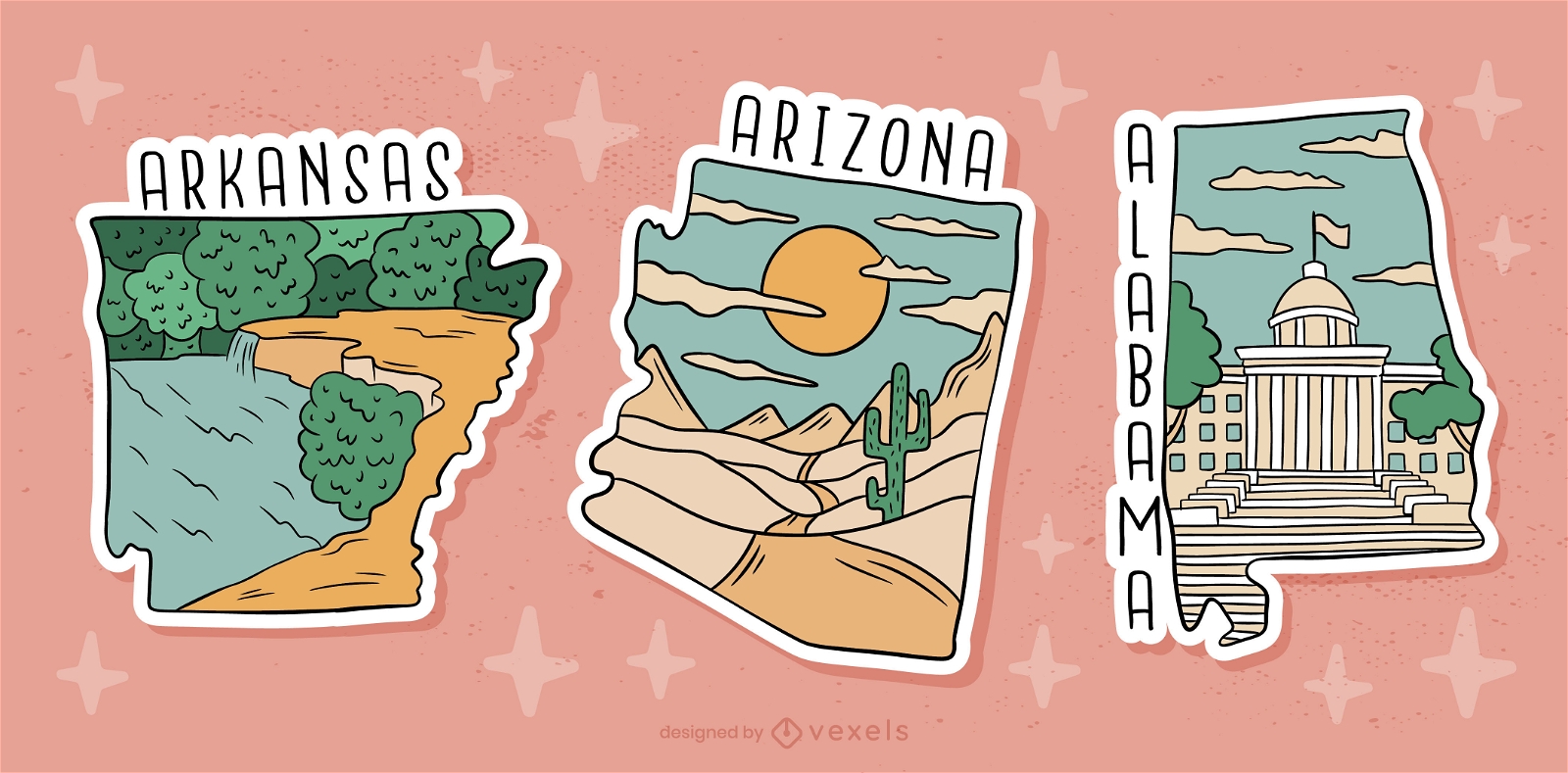
3409 estados designs graphics for t-shirt and print on demand merch
Download estados t-shirt designs and other merch graphics like book covers, phone cases, tote bags and more.
Sort by
Most relevant
Sponsored results by
Get 15% off with code: VEXELS15
Show more
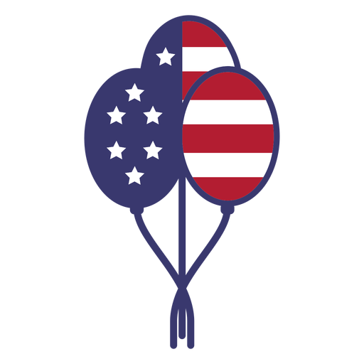
Usa flag in balloons flat PNG Design
Choose a folder
All favorites
Create new
Save
Usa flag in balloons flat PNG Design
United states capitol dome icon PNG Design
Choose a folder
All favorites
Create new
Save
United states capitol dome icon PNG Design
United states capitol dome stroke PNG Design
Choose a folder
All favorites
Create new
Save
United states capitol dome stroke PNG Design
Patriotic usa flag stroke element PNG Design
Choose a folder
All favorites
Create new
Save
Patriotic usa flag stroke element PNG Design
United states capitol element PNG Design
Choose a folder
All favorites
Create new
Save
United states capitol element PNG Design
Premium
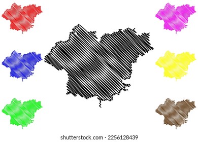
US States sticker set
Choose a folder
All favorites
Create new
Save
US States sticker set
German Content
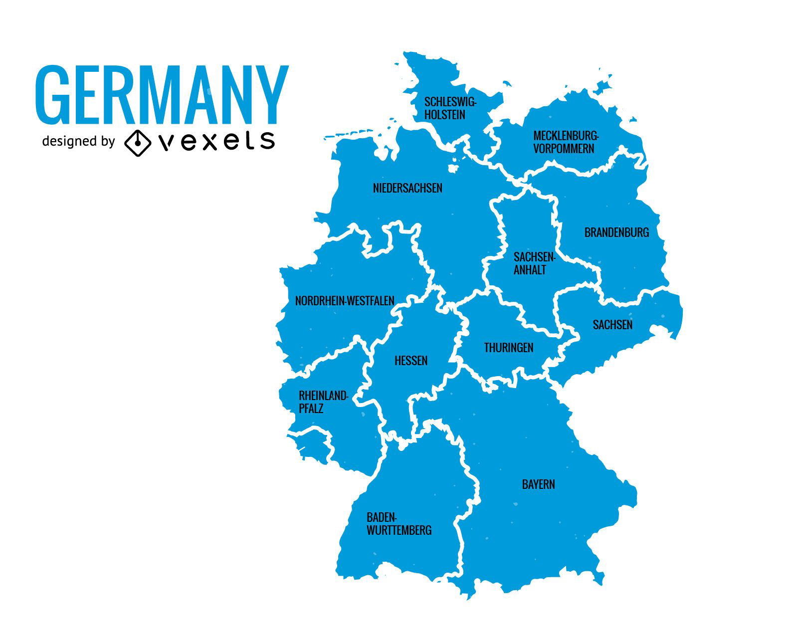
Germany states map
Choose a folder
All favorites
Create new
Save
Germany states map
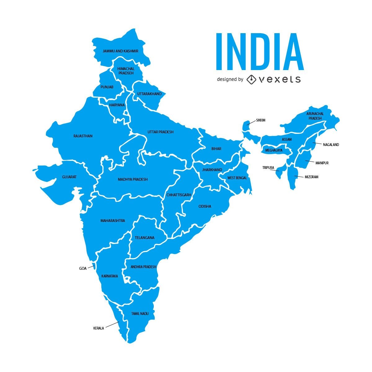
India states map
Choose a folder
All favorites
Create new
Save
India states map
Premium
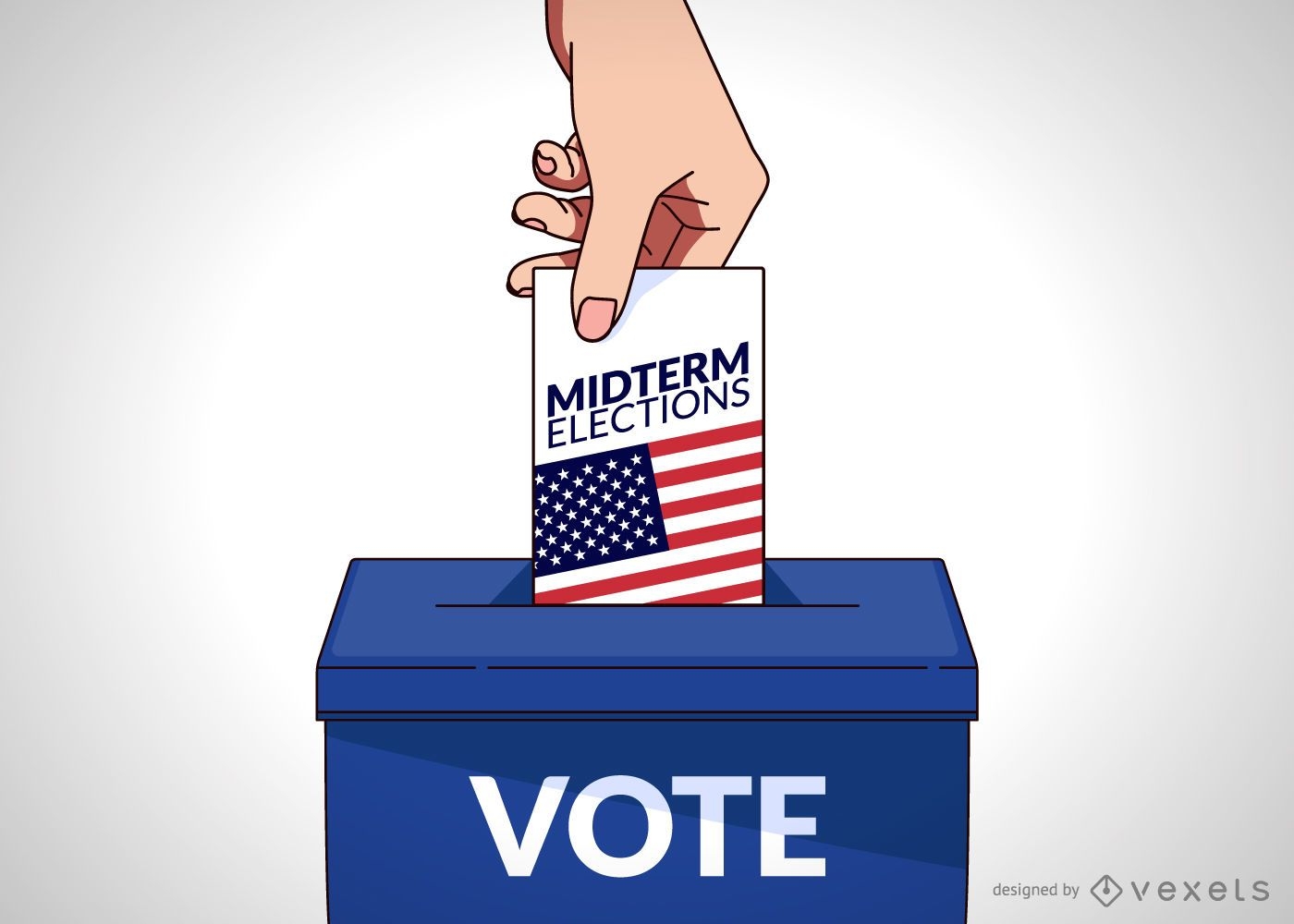
USA vote illustration
Choose a folder
All favorites
Create new
Save
USA vote illustration
Premium
United States elections design
Choose a folder
All favorites
Create new
Save
United States elections design
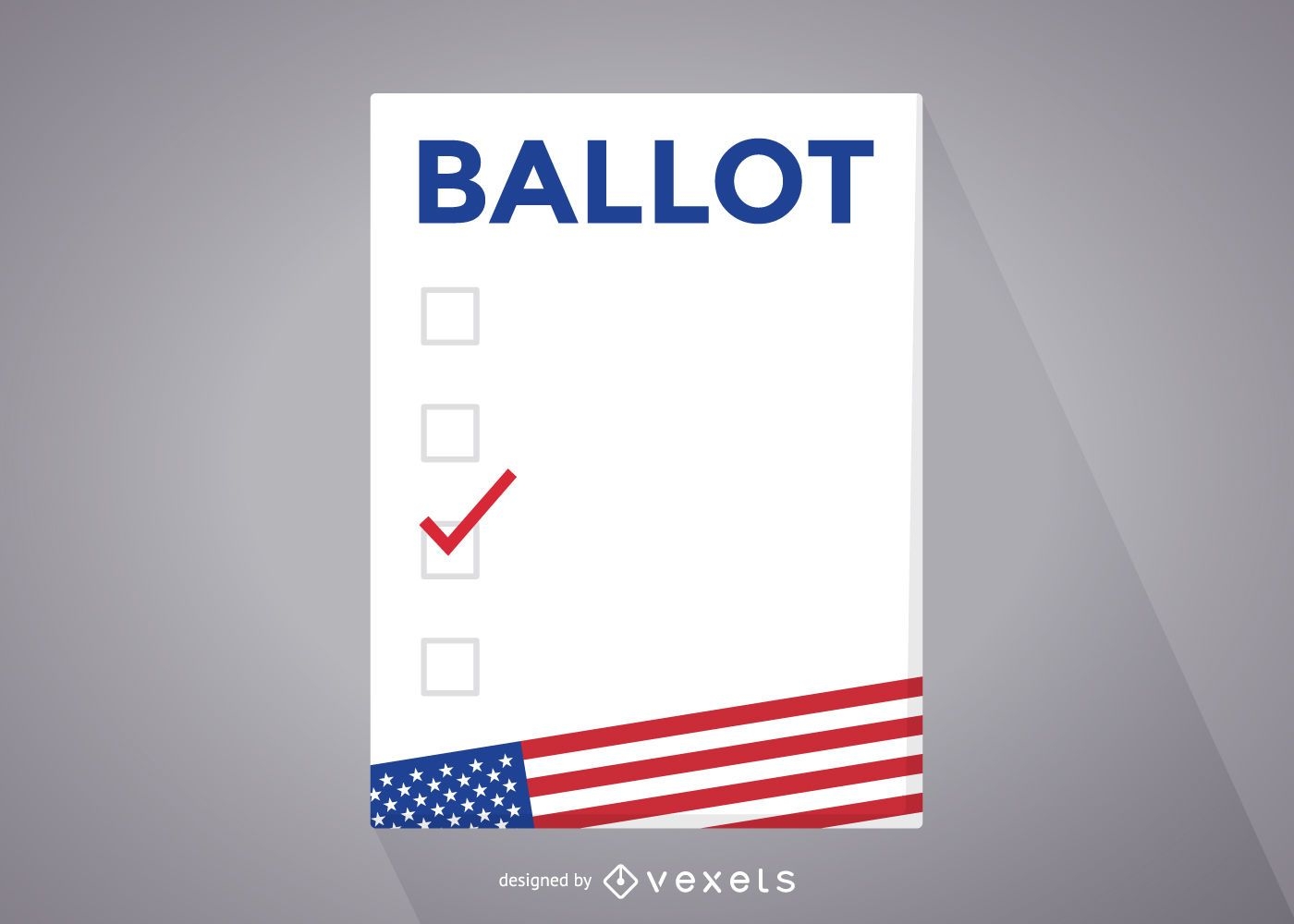
USA elections ballot
Choose a folder
All favorites
Create new
Save
USA elections ballot
Premium
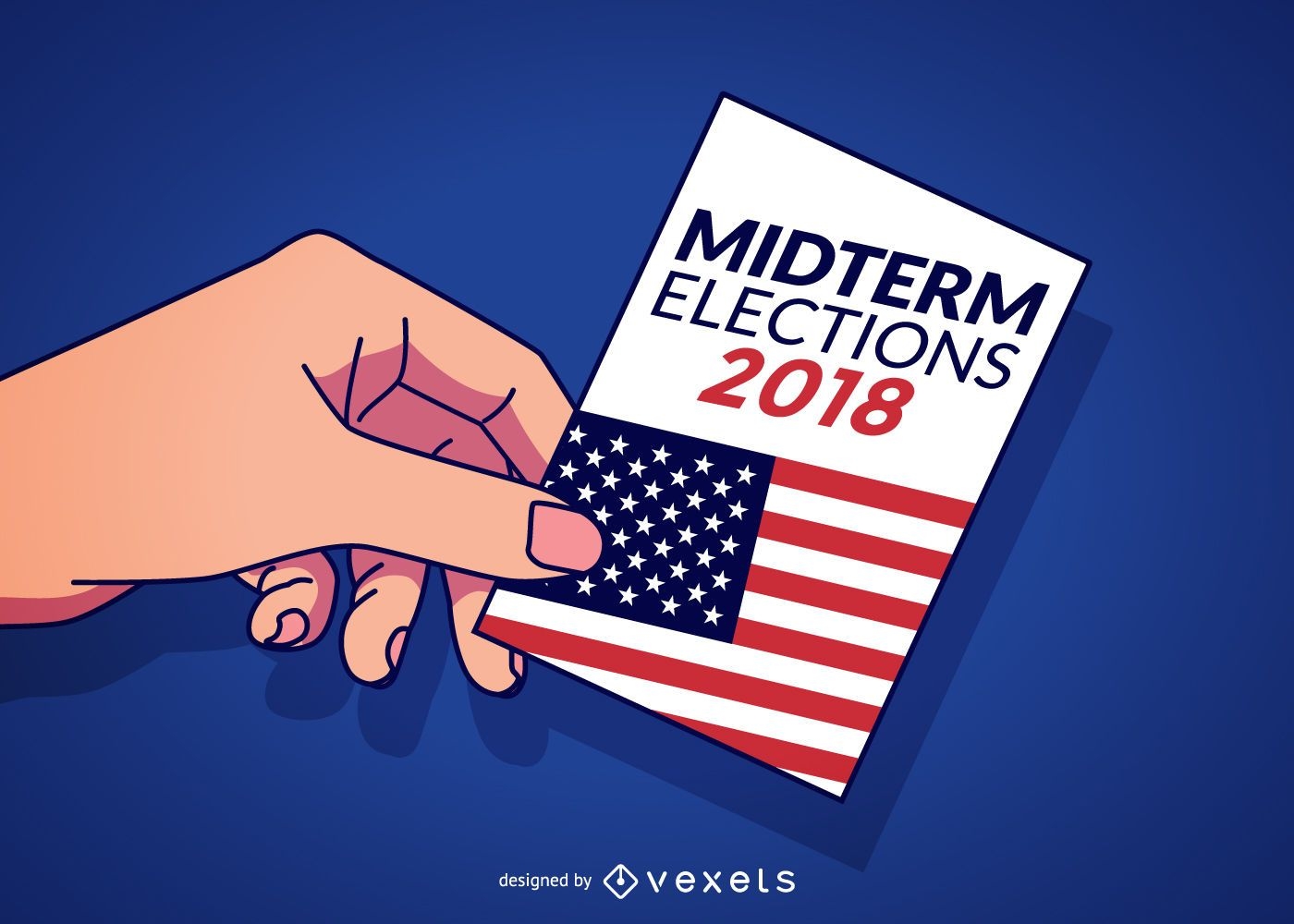
USA midterm elections illustration
Choose a folder
All favorites
Create new
Save
USA midterm elections illustration
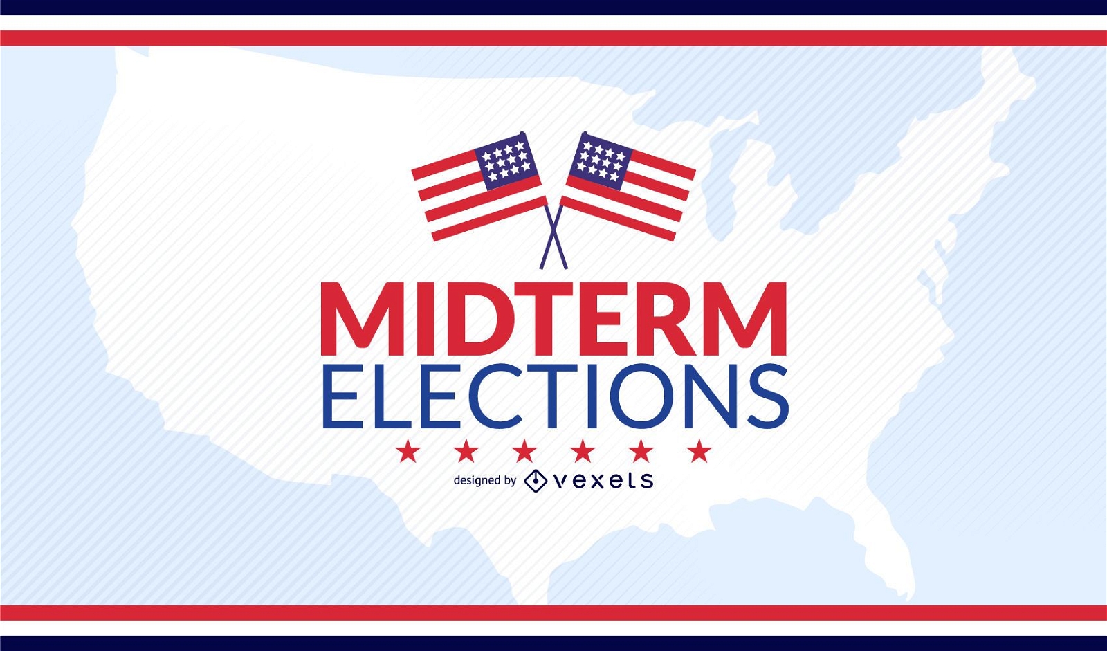
USA midterm elections design
Choose a folder
All favorites
Create new
Save
USA midterm elections design
Premium
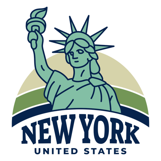
New york united states PNG Design
Choose a folder
All favorites
Create new
Save
New york united states PNG Design
Premium
American made quote PNG Design
Choose a folder
All favorites
Create new
Save
American made quote PNG Design
Premium
Patriotic made in america graphic design PNG Design
Choose a folder
All favorites
Create new
Save
Patriotic made in america graphic design PNG Design
Premium
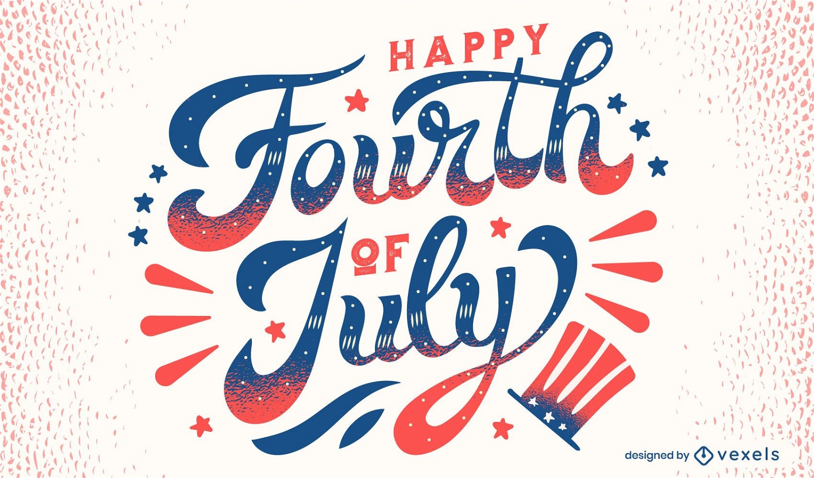
Happy fourth of july lettering
Choose a folder
All favorites
Create new
Save
Happy fourth of july lettering
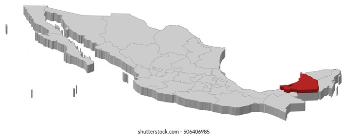
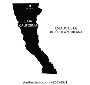
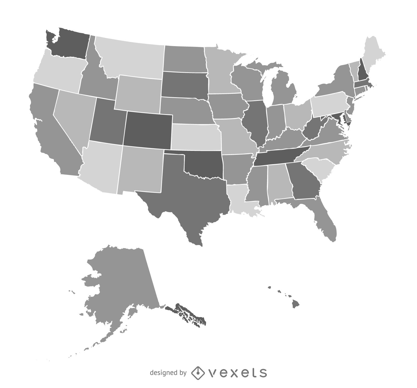
America Map Vector Design
Choose a folder
All favorites
Create new
Save
America Map Vector Design
Print ready
for Merch
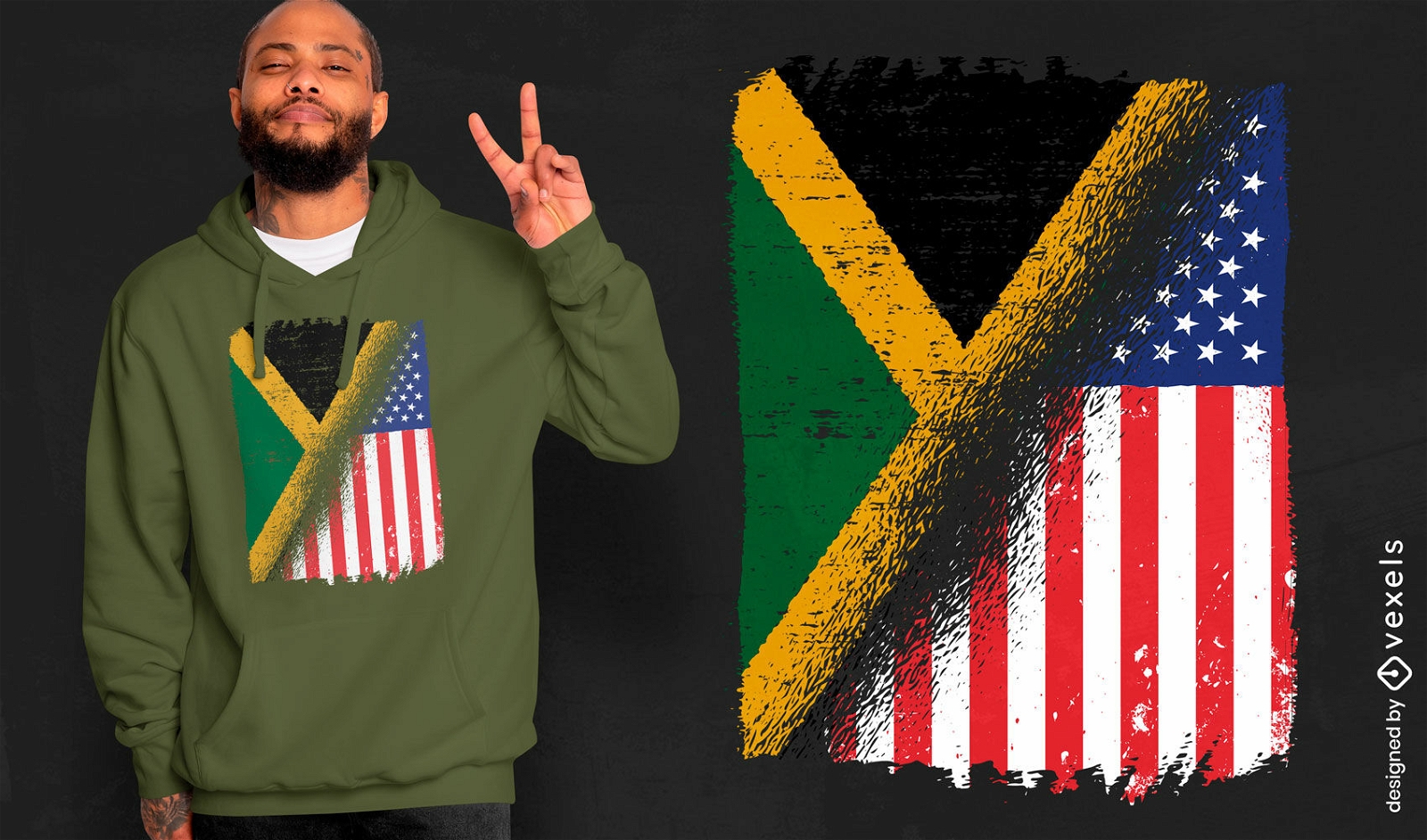
USA and Jamaica flags t-shirt design
Choose a folder
All favorites
Create new
Save
USA and Jamaica flags t-shirt design
Editable text
Print ready
for Merch
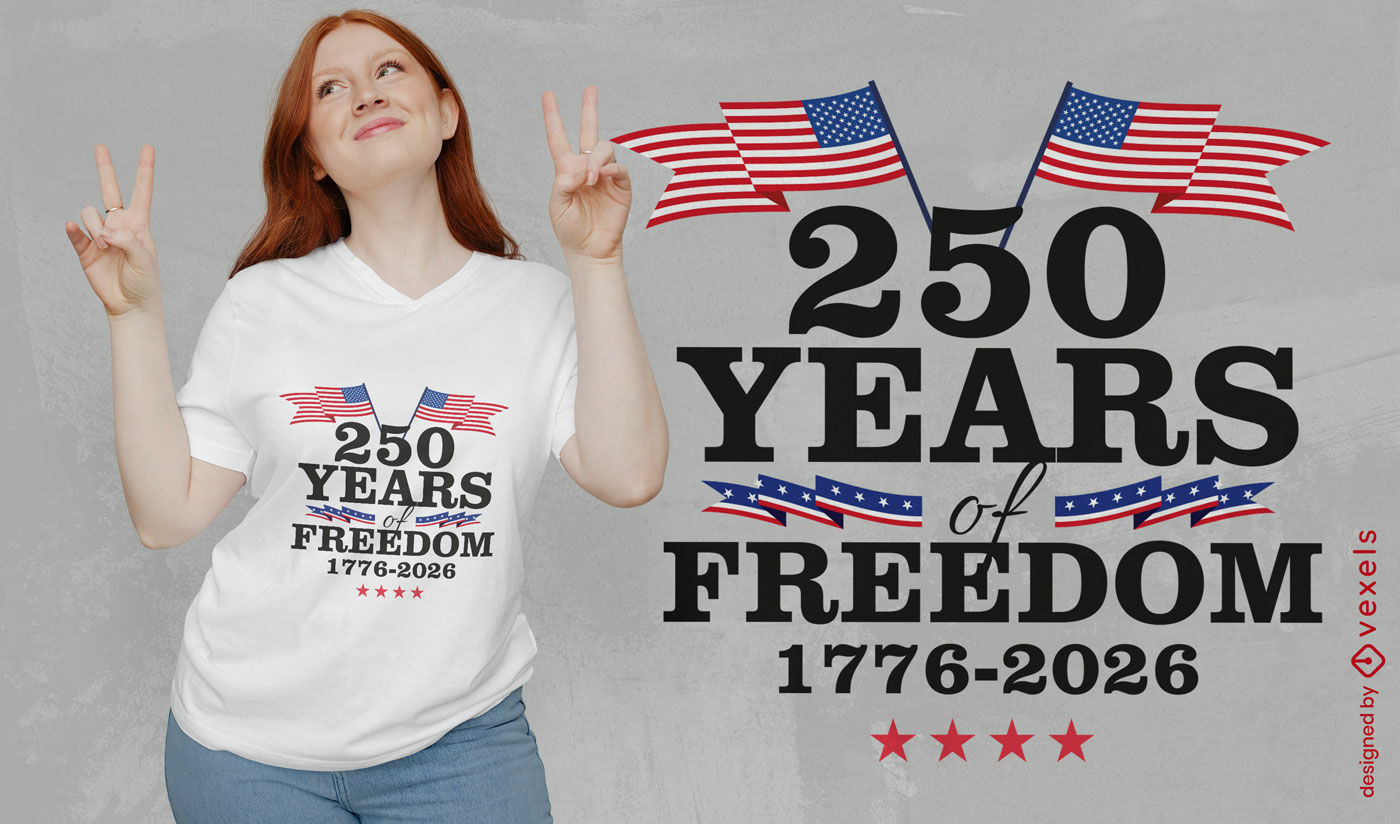
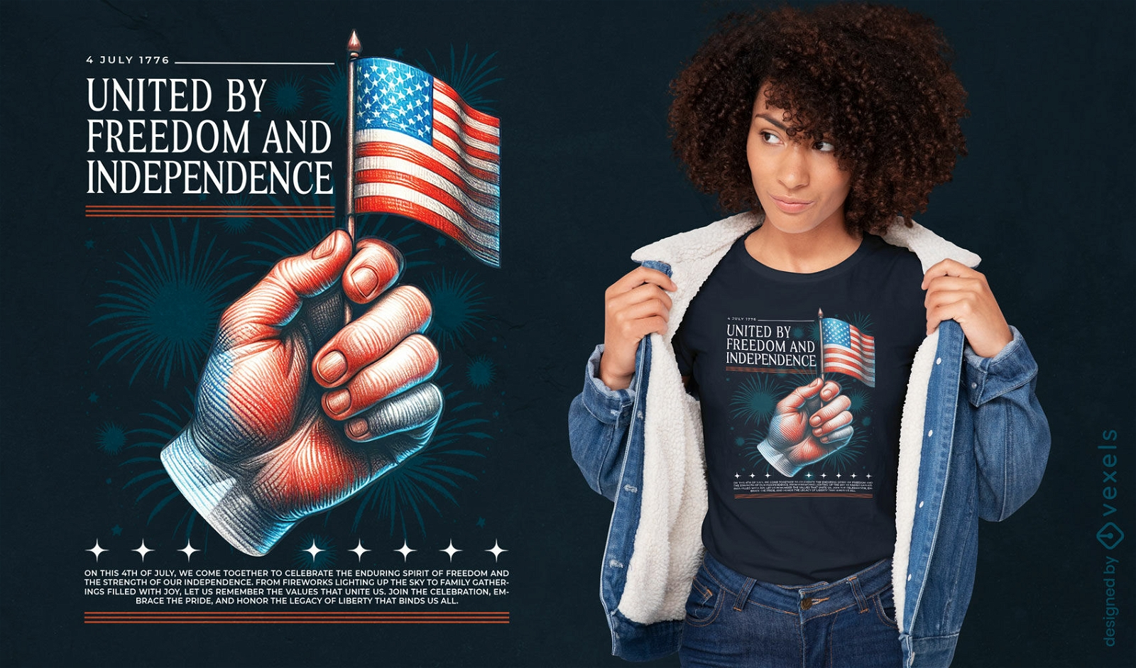
American 250 years freedom t-shirt design
Choose a folder
All favorites
Create new
Save
American 250 years freedom t-shirt design
Editable text
Print ready
for Merch
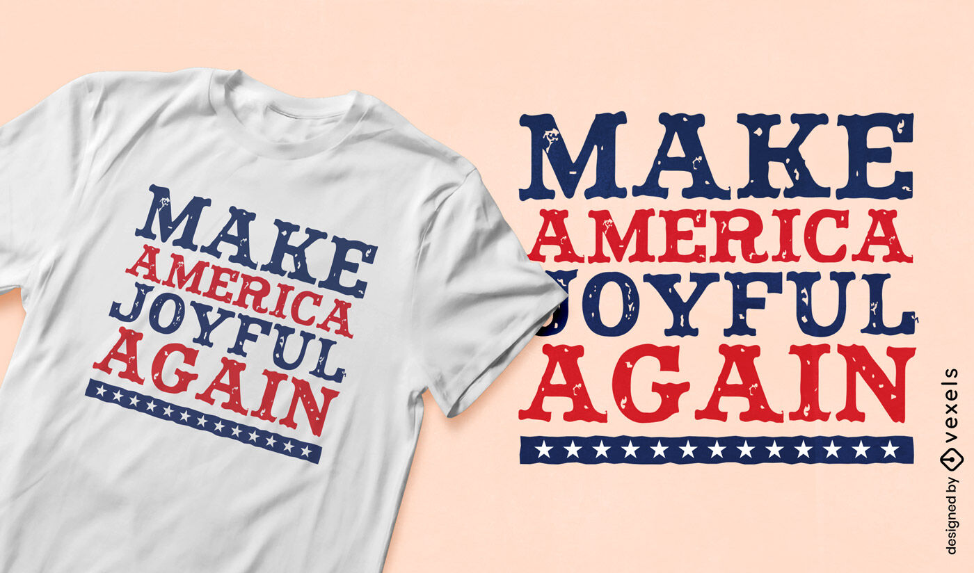
Patriotic joy slogan t-shirt design
Choose a folder
All favorites
Create new
Save
Patriotic joy slogan t-shirt design
Premium
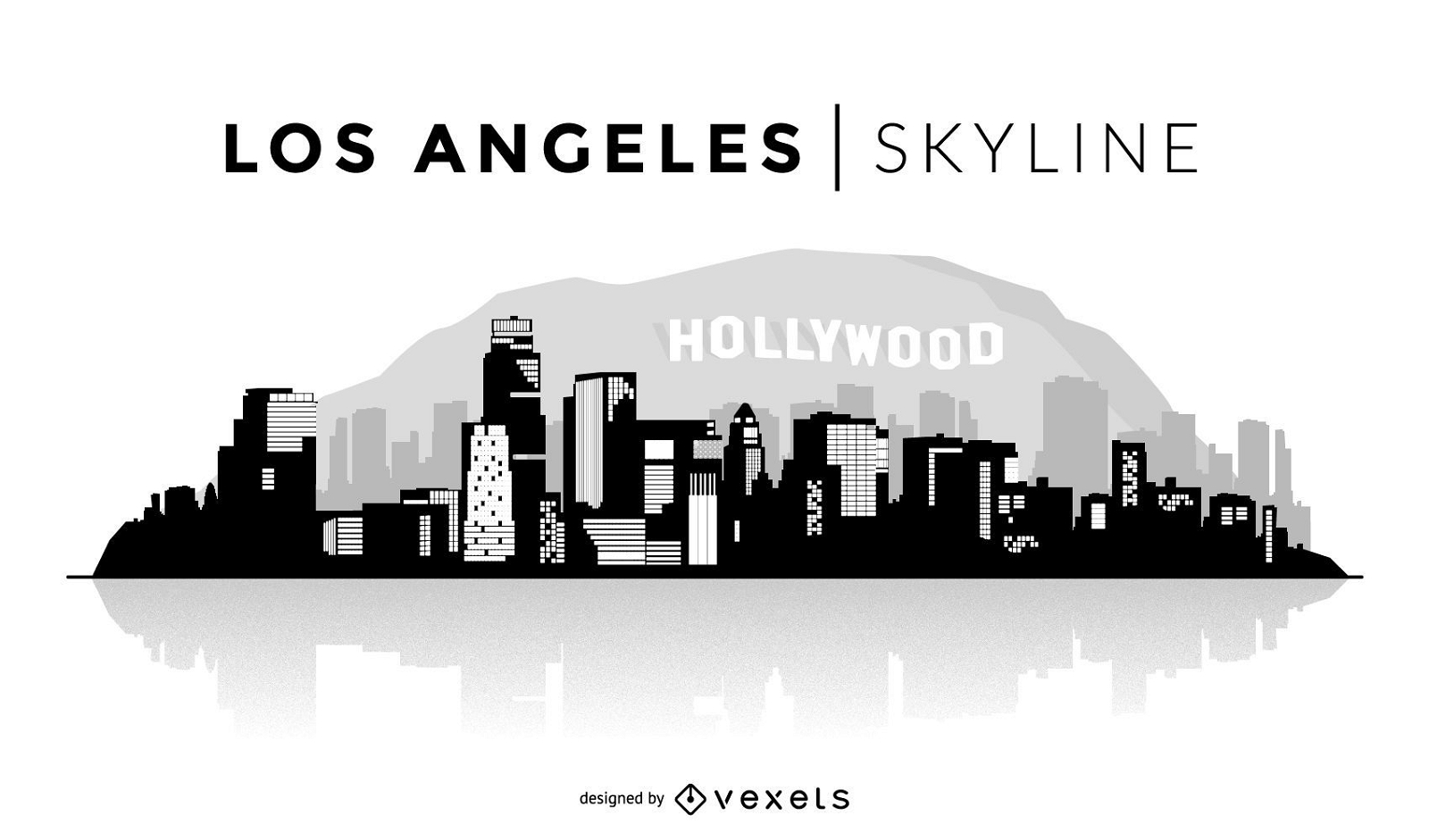
Los Angeles Skyline Illustration
Choose a folder
All favorites
Create new
Save
Los Angeles Skyline Illustration
Premium
Playful usa map adventure quote design PNG Design
Choose a folder
All favorites
Create new
Save
Playful usa map adventure quote design PNG Design
Print ready
for Merch
By love and liberty and justice for all t-shirt design
Choose a folder
All favorites
Create new
Save
By love and liberty and justice for all t-shirt design
Stylish usa travel tag design PNG Design
Choose a folder
All favorites
Create new
Save
Stylish usa travel tag design PNG Design
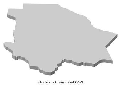
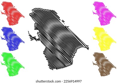
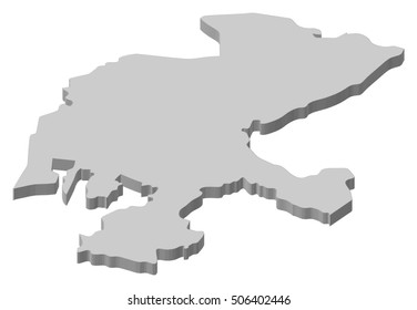
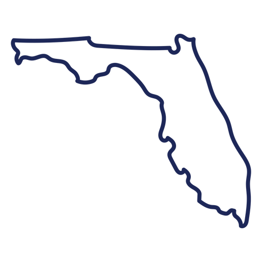
Florida usa map stroke PNG Design
Choose a folder
All favorites
Create new
Save
Florida usa map stroke PNG Design
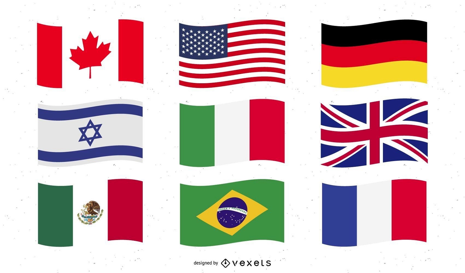
World National Flag Vectors
Choose a folder
All favorites
Create new
Save
World National Flag Vectors
Premium
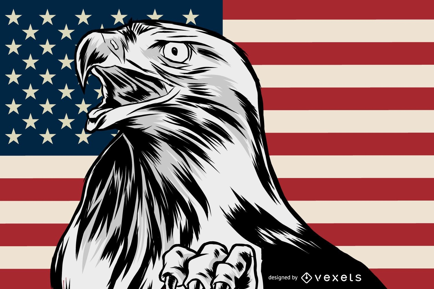
Patriotic american eagle illustration
Choose a folder
All favorites
Create new
Save
Patriotic american eagle illustration
Print ready
for Merch
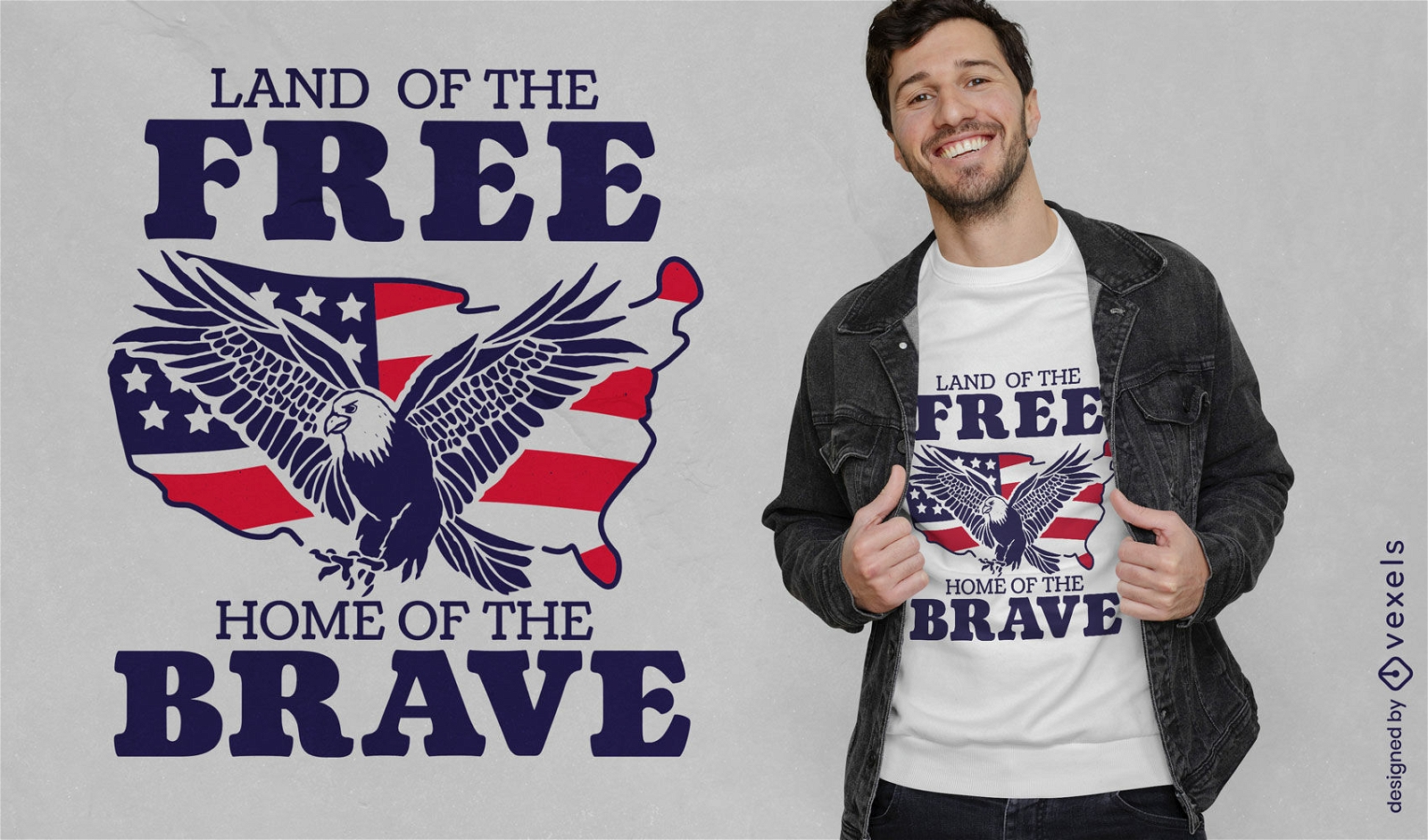
Land of the free American eagle t-shirt design
Choose a folder
All favorites
Create new
Save
Land of the free American eagle t-shirt design
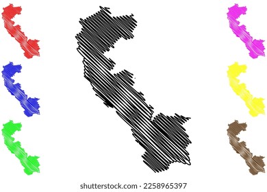
Oklahoma usa map silhouette PNG Design
Choose a folder
All favorites
Create new
Save
Oklahoma usa map silhouette PNG Design
Premium
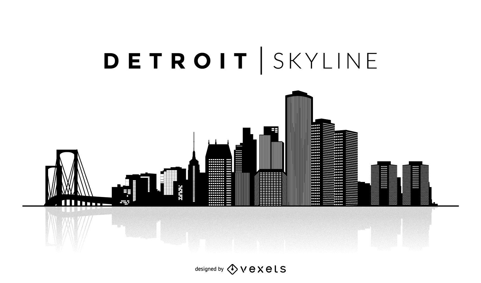
Simple Detroit skyline
Choose a folder
All favorites
Create new
Save
Simple Detroit skyline
Print ready
for Merch
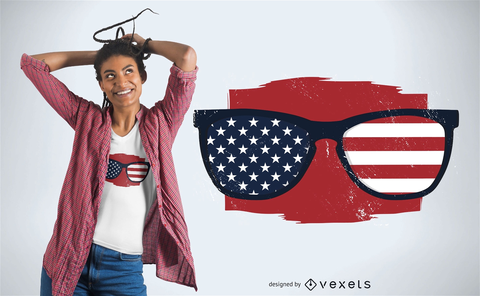
USA sunglasses t-shirt design
Choose a folder
All favorites
Create new
Save
USA sunglasses t-shirt design
Print ready
for Merch
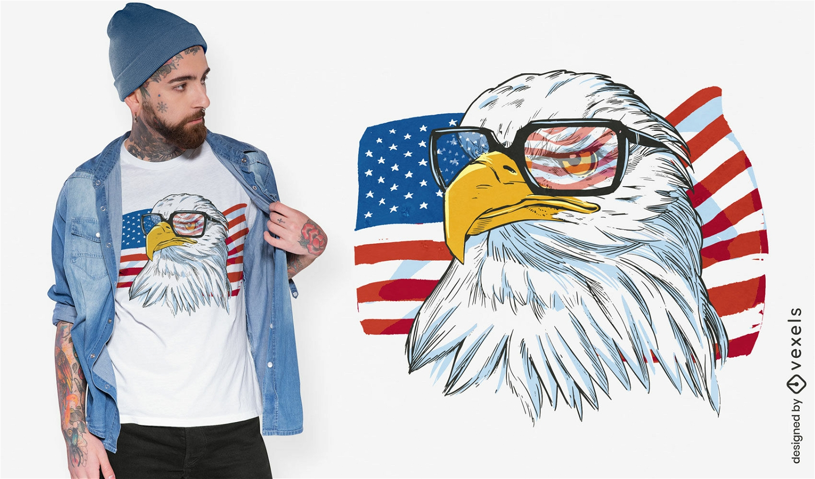
Independence day patriotic eagle t-shirt design
Choose a folder
All favorites
Create new
Save
Independence day patriotic eagle t-shirt design
Print ready
for Merch
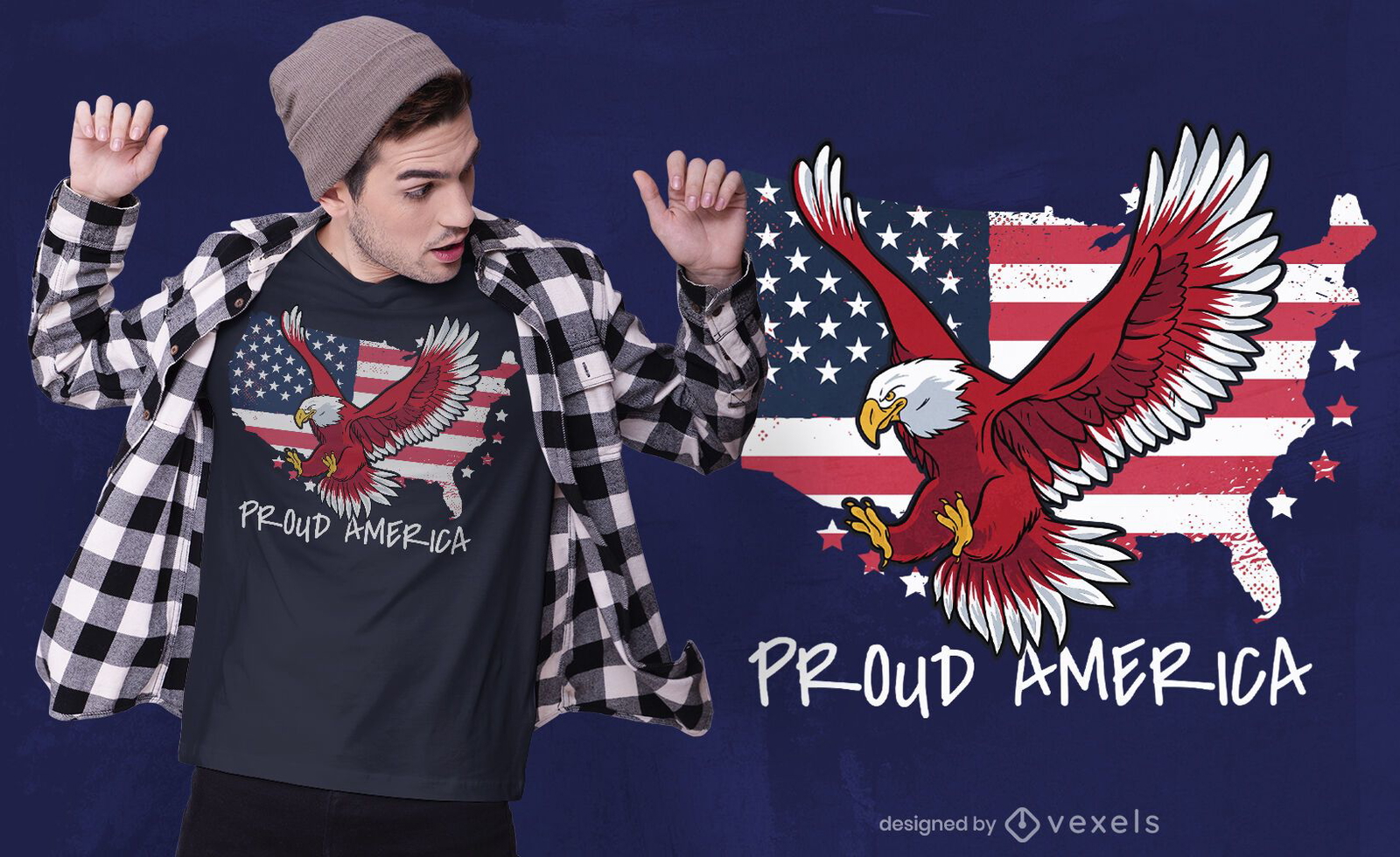
Proud america t-shirt design
Choose a folder
All favorites
Create new
Save
Proud america t-shirt design
for Merch
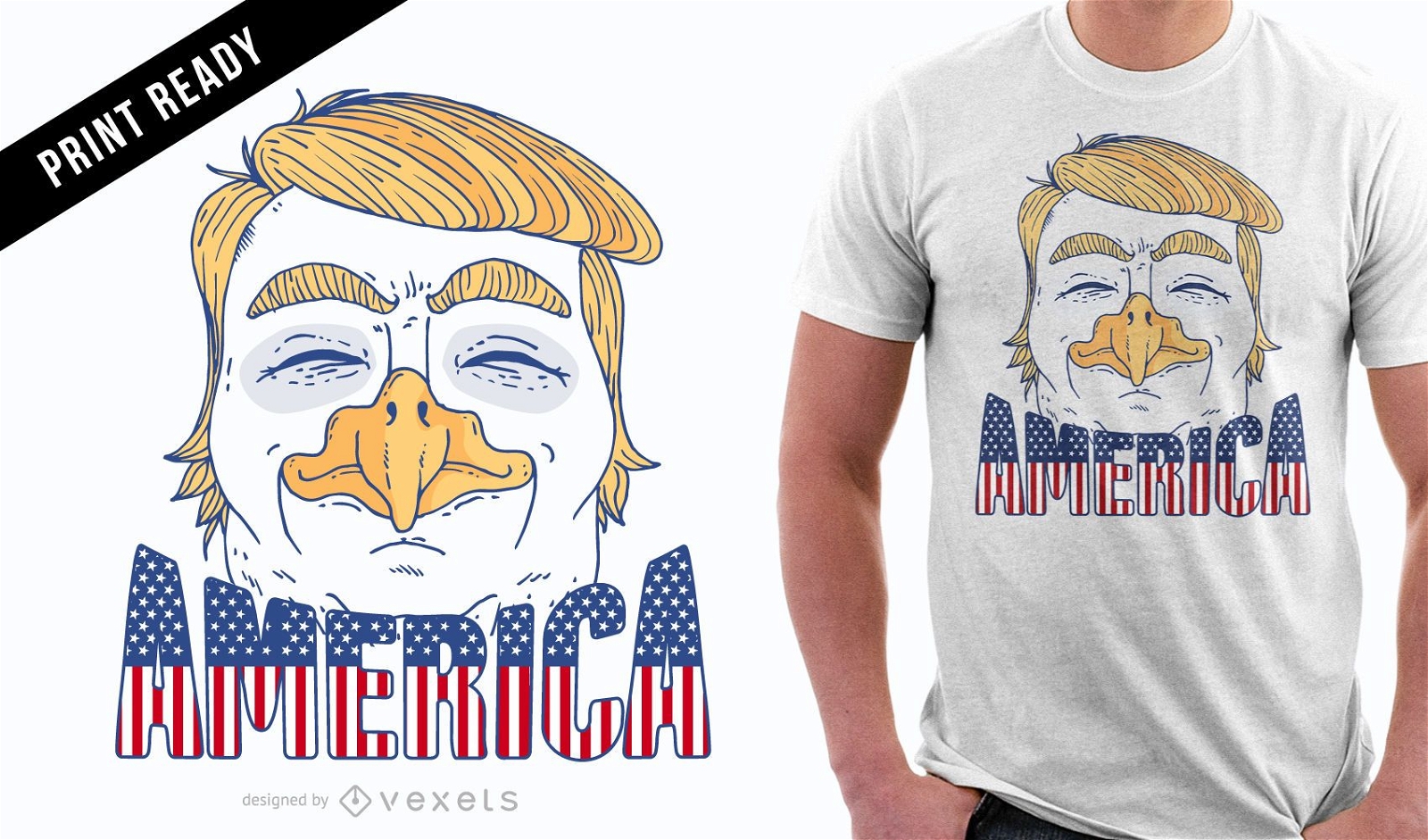
Eagle Trump t-shirt design
Choose a folder
All favorites
Create new
Save
Eagle Trump t-shirt design
Premium
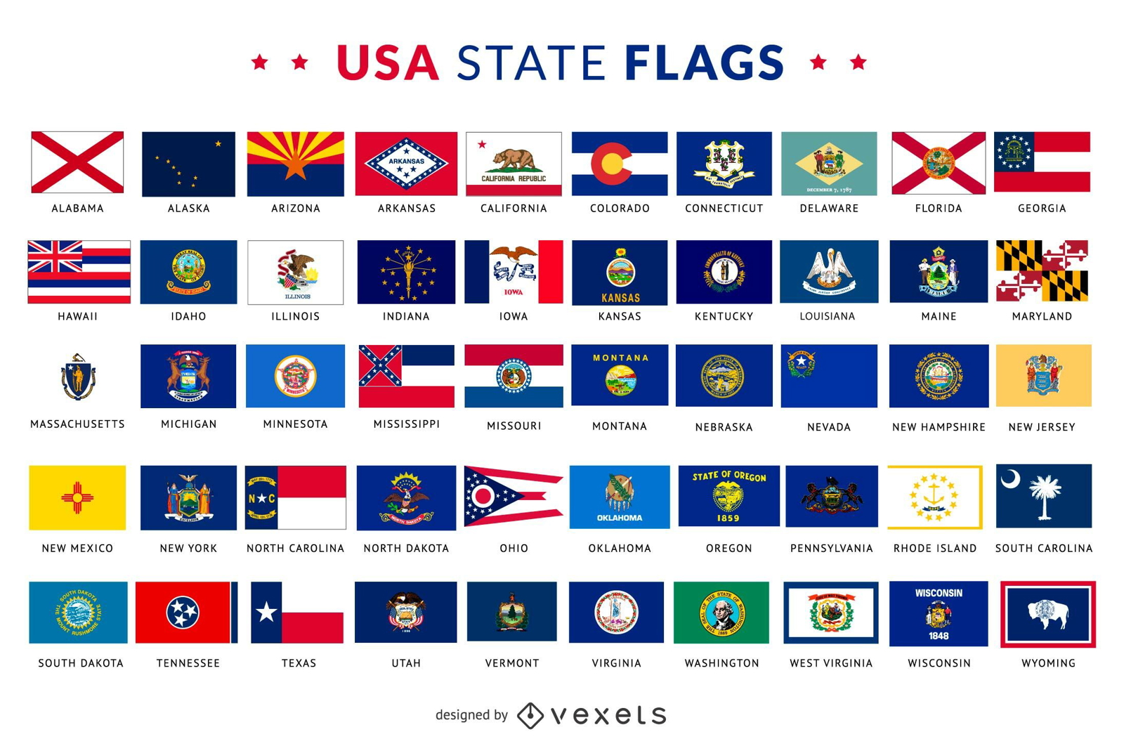
USA state flags collection
Choose a folder
All favorites
Create new
Save
USA state flags collection
Premium
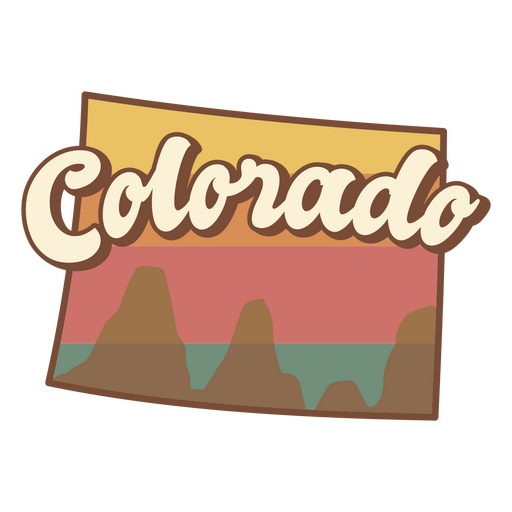
Colorado retro sunset usa states PNG Design
Choose a folder
All favorites
Create new
Save
Colorado retro sunset usa states PNG Design
Print ready
for Merch
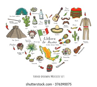
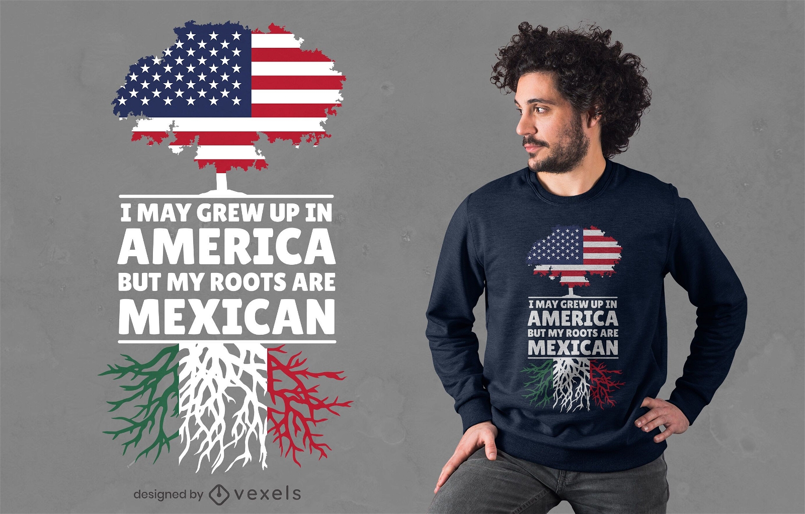
Mexican roots t-shirt design
Choose a folder
All favorites
Create new
Save
Mexican roots t-shirt design
Editable text
Print ready
for Merch
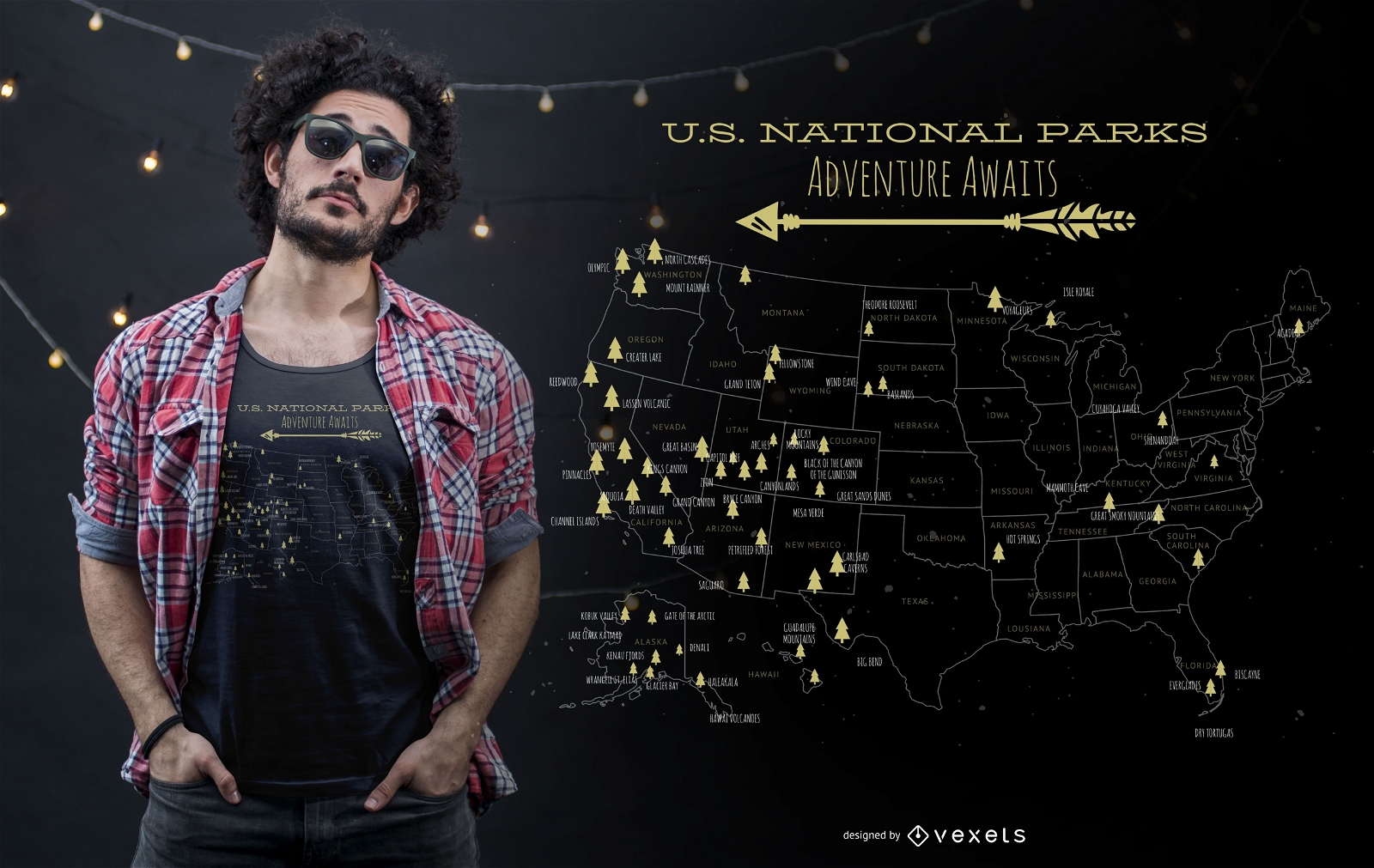
US national parks t-shirt design
Choose a folder
All favorites
Create new
Save
US national parks t-shirt design
Print ready
for Merch
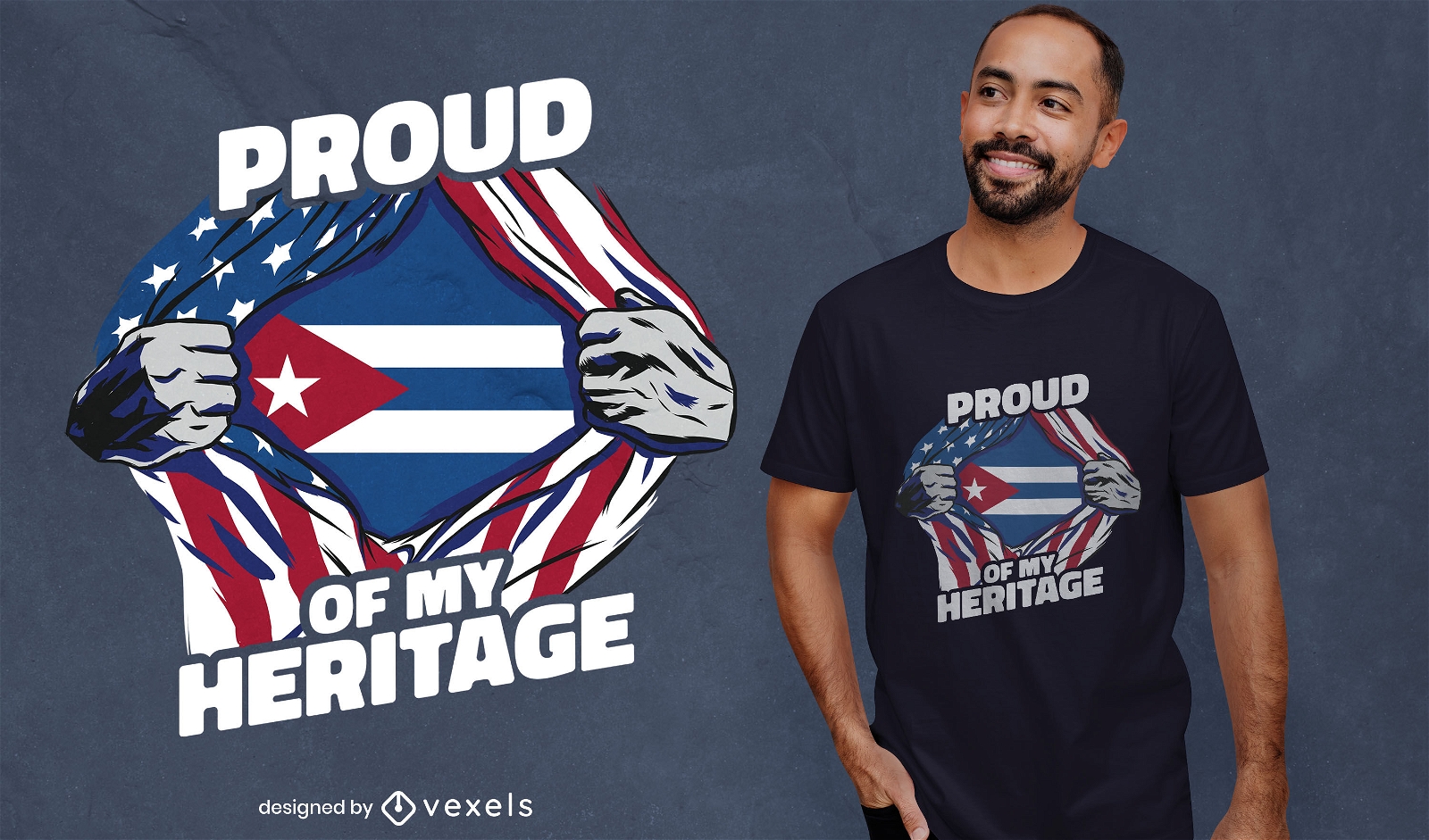
American-Cuban t-shirt design
Choose a folder
All favorites
Create new
Save
American-Cuban t-shirt design
for Merch
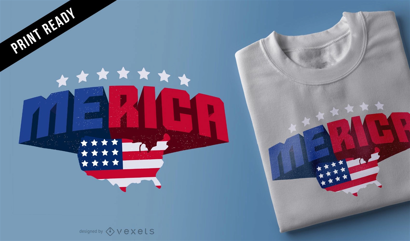
Merica t-shirt design
Choose a folder
All favorites
Create new
Save
Merica t-shirt design
Print ready
for Merch
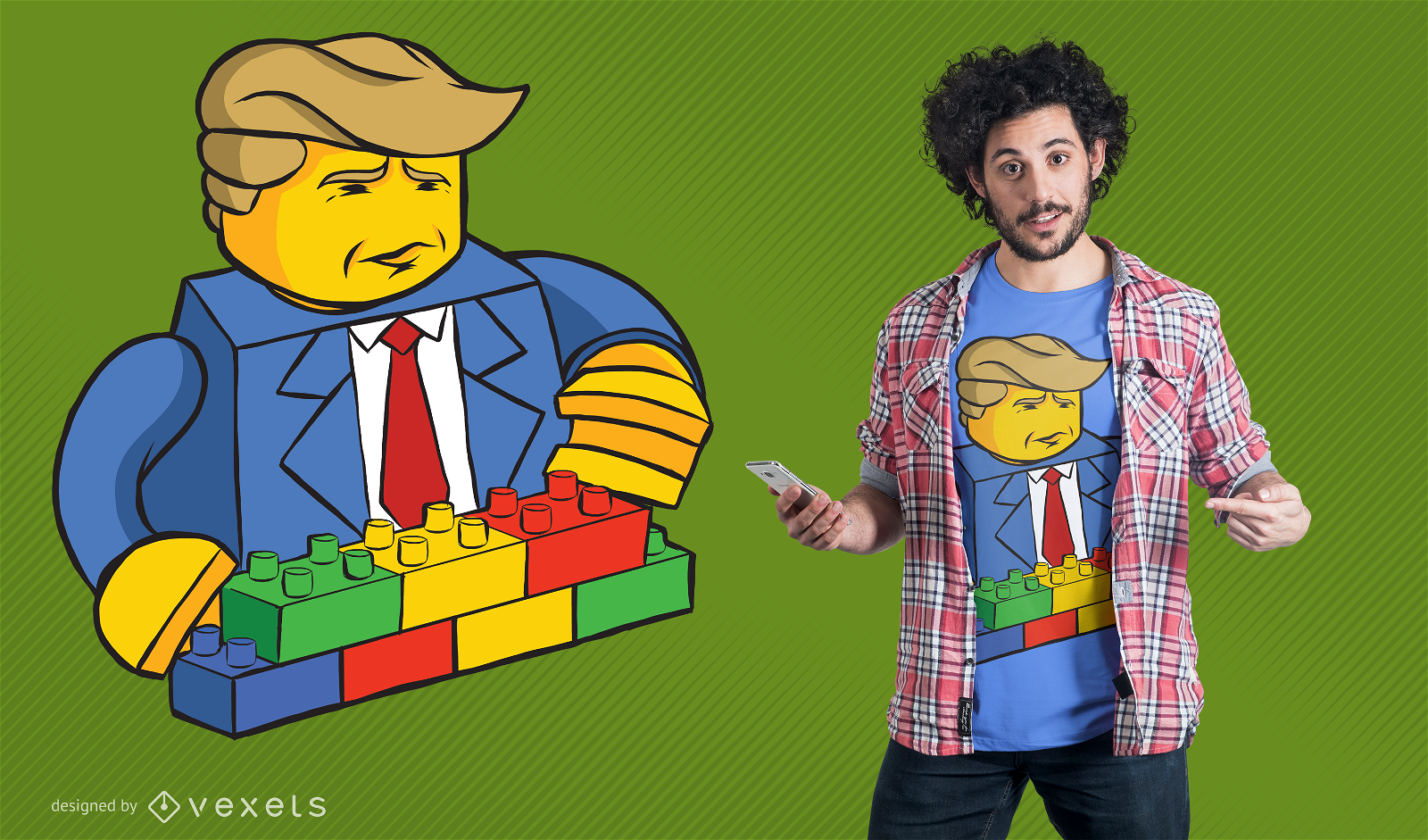
Trump Builder T-Shirt Design
Choose a folder
All favorites
Create new
Save
Trump Builder T-Shirt Design
for Merch
American flag eagle t-shirt design
Choose a folder
All favorites
Create new
Save
American flag eagle t-shirt design
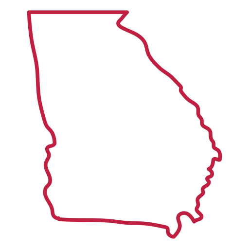
Georgia usa map stroke PNG Design
Choose a folder
All favorites
Create new
Save
Georgia usa map stroke PNG Design
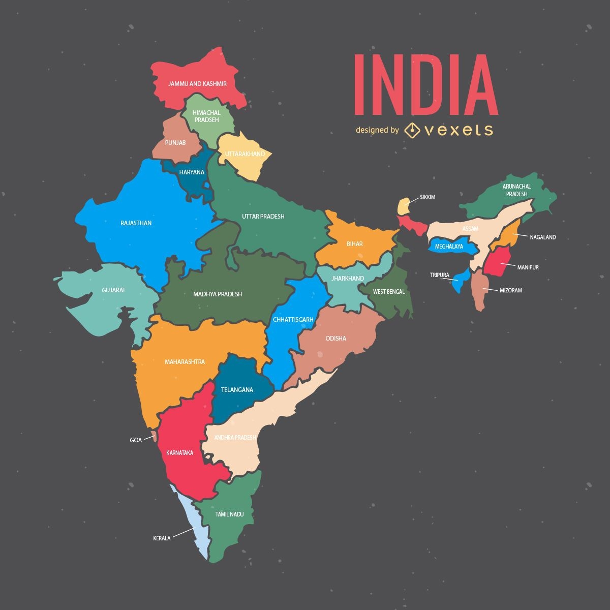
India map with states
Choose a folder
All favorites
Create new
Save
India map with states
for Merch
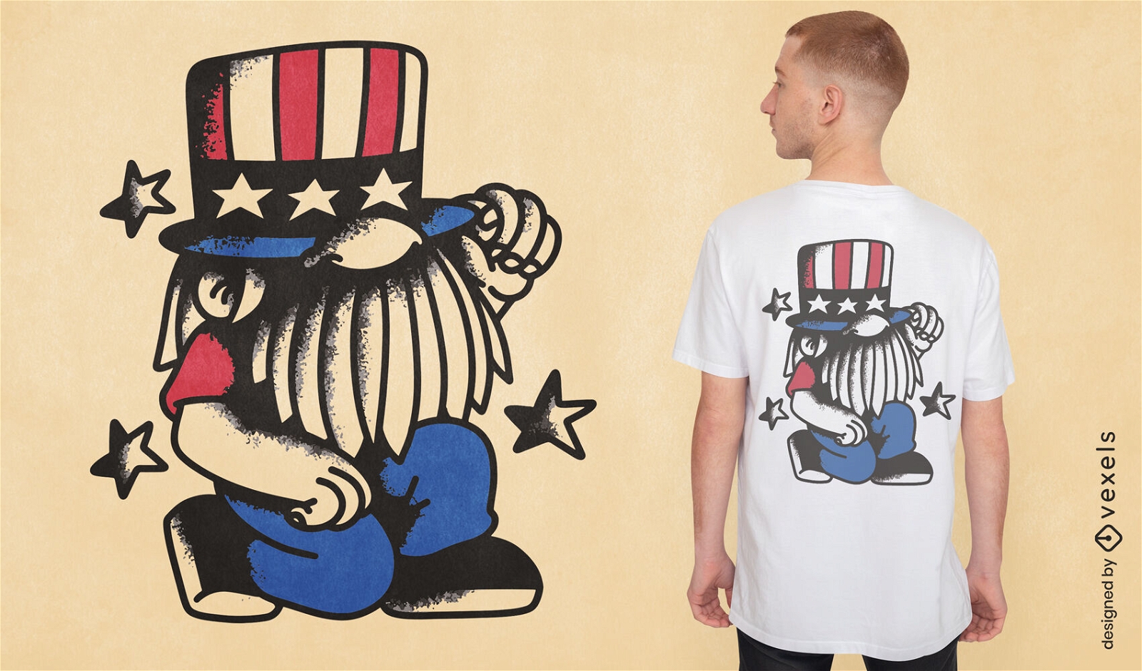
USA Trump Cartoon T-shirt Design
Choose a folder
All favorites
Create new
Save
USA Trump Cartoon T-shirt Design
Print ready
for Merch
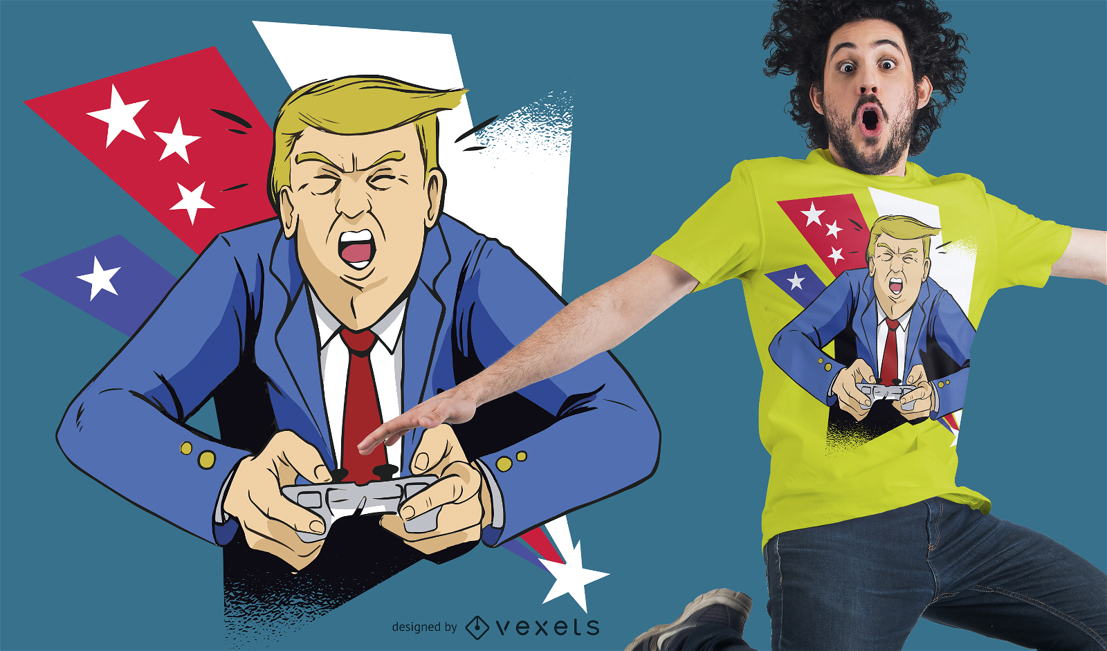
Gamer Trump T-Shirt Design
Choose a folder
All favorites
Create new
Save
Gamer Trump T-Shirt Design
for Merch
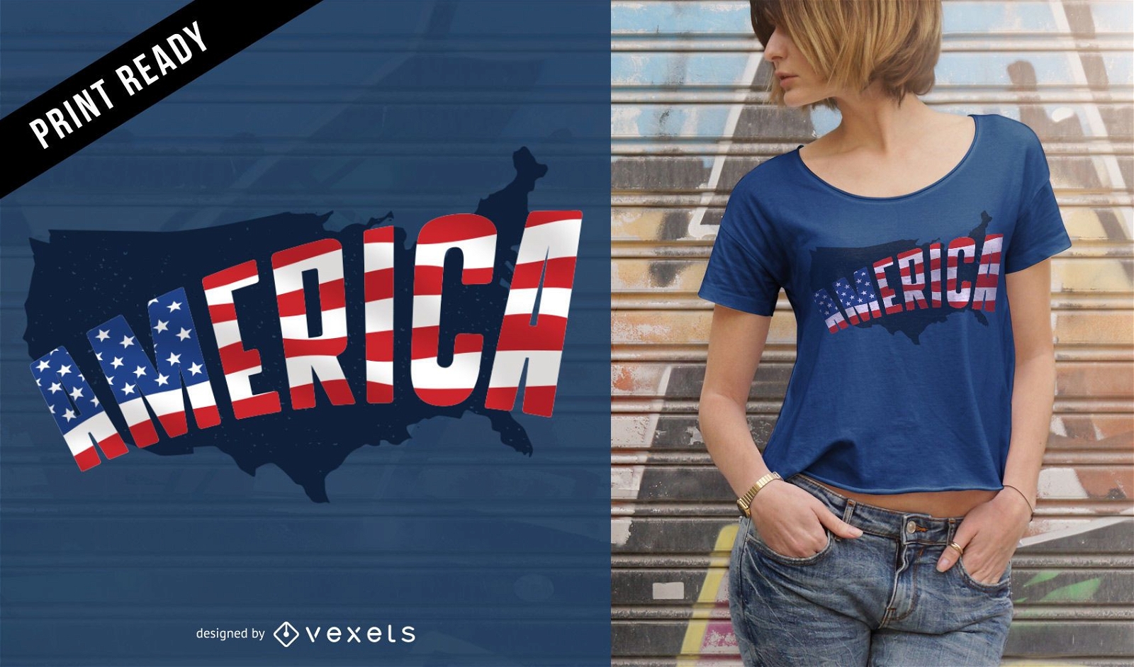
America t-shirt design
Choose a folder
All favorites
Create new
Save
America t-shirt design
Print ready
for Merch
4th of July gnome t-shirt design
Choose a folder
All favorites
Create new
Save
4th of July gnome t-shirt design
for Merch
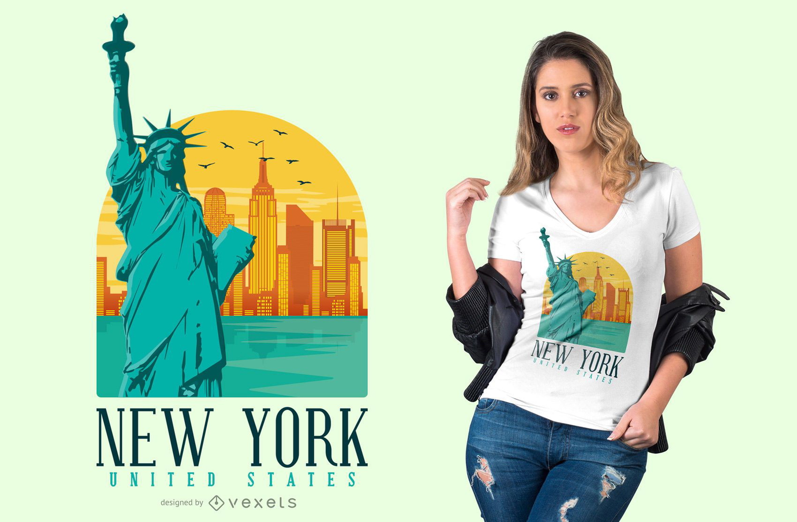
New York City T-Shirt Design
Choose a folder
All favorites
Create new
Save
New York City T-Shirt Design
Boost Your Business
With The Leading Graphic Platform For Merch.
SEE PLANS
Next
of 69
prev page
next page