Design Library
New Merch Designs
T-Shirts
Vectors
Trending Merch Designs
PNGs & SVGs
Mockups
T-Shirt PSD Templates
Explore Designs
KDP Designs
Posters
Mugs
Phone Cases
Tote Bags
Pillows
Design Tools
Merch Designer
New!
Mockup Generator
AI Design Generator
Image Vectorizer
Quote Generator
T-Shirt Maker (Old)
Resources
Merch Digest
Blog
Help Center
Learn About Merch
Feedback
Corporate Solutions
Enterprise
API Access
Design Studio
Bulk Design Production
Pricing
Loading...
Sign Up
Login
All
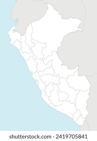
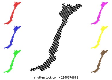
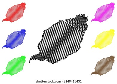
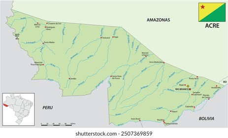
amazonas
Design Library
New Merch Designs
T-Shirts
Vectors
Trending Merch Designs
PNGs & SVGs
Mockups
T-Shirt PSD Templates
Explore Designs
KDP Designs
Posters
Mugs
Phone Cases
Tote Bags
Pillows
Design Tools
Merch Designer
New!
Mockup Generator
AI Design Generator
Image Vectorizer
Quote Generator
T-Shirt Maker (Old)
Resources
Merch Digest
Blog
Help Center
Learn About Merch
Feedback
Corporate Solutions
Enterprise
API Access
Design Studio
Bulk Design Production
PLANS
All
amazonas
1161 amazonas designs graphics for t-shirt and print on demand merch
Download amazonas t-shirt designs and other merch graphics like book covers, phone cases, tote bags and more.
Sort by
Most relevant
Sponsored results by
Get 15% off with code: VEXELS15
Show more
Editable text
Print ready
for Merch
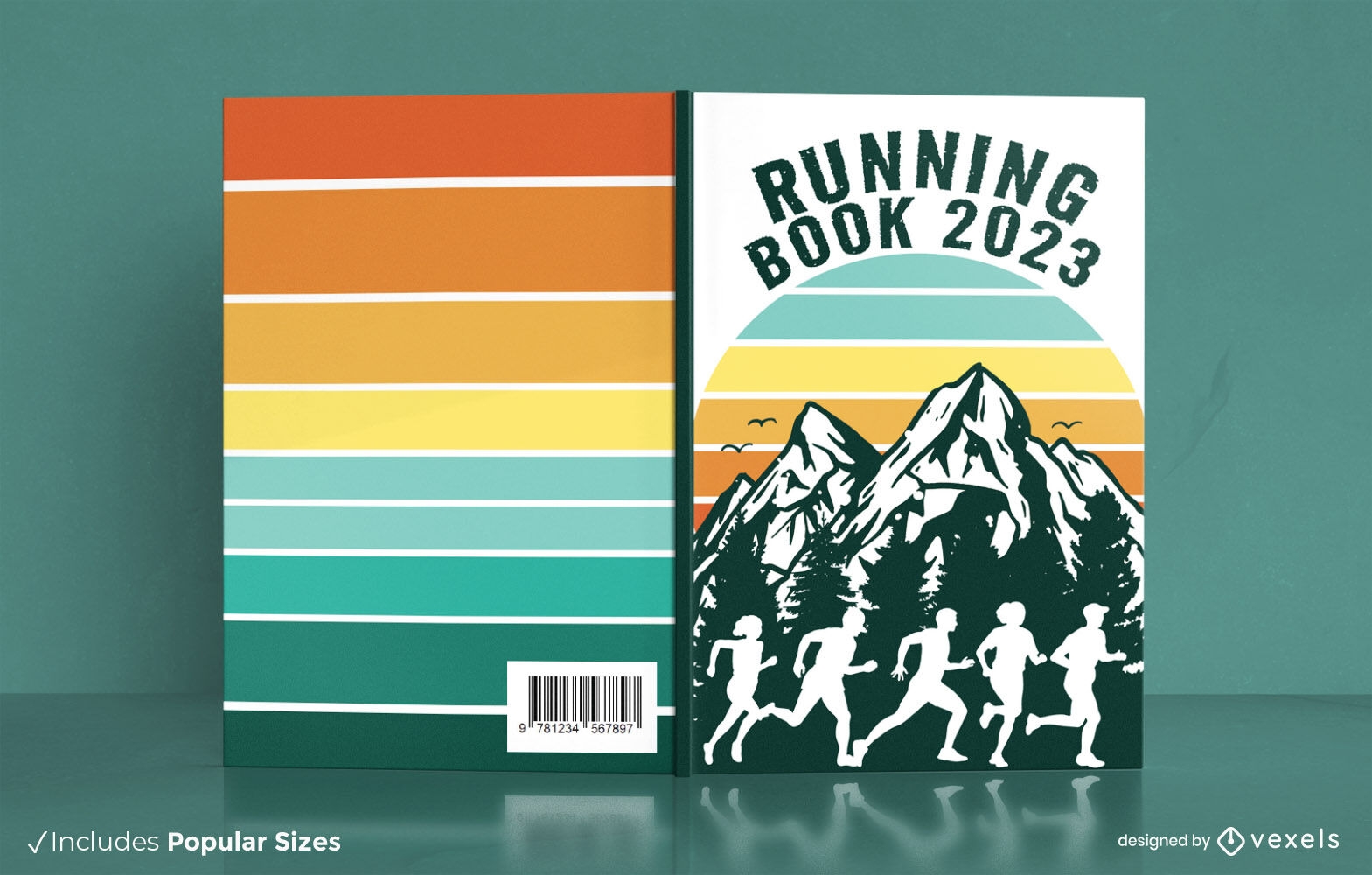
Running against mountains retro book cover design
Choose a folder
All favorites
Create new
Save
Running against mountains retro book cover design
Editable text
Print ready
for Merch
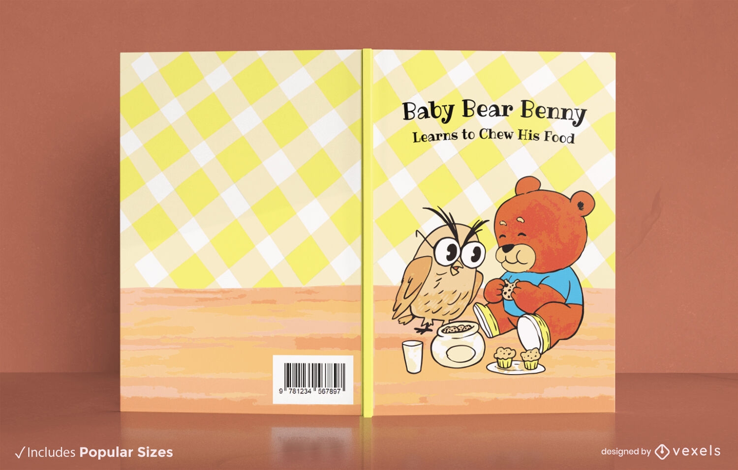
Bear and owl cartoon book cover design KDP
Choose a folder
All favorites
Create new
Save
Bear and owl cartoon book cover design KDP
Print ready
for Merch
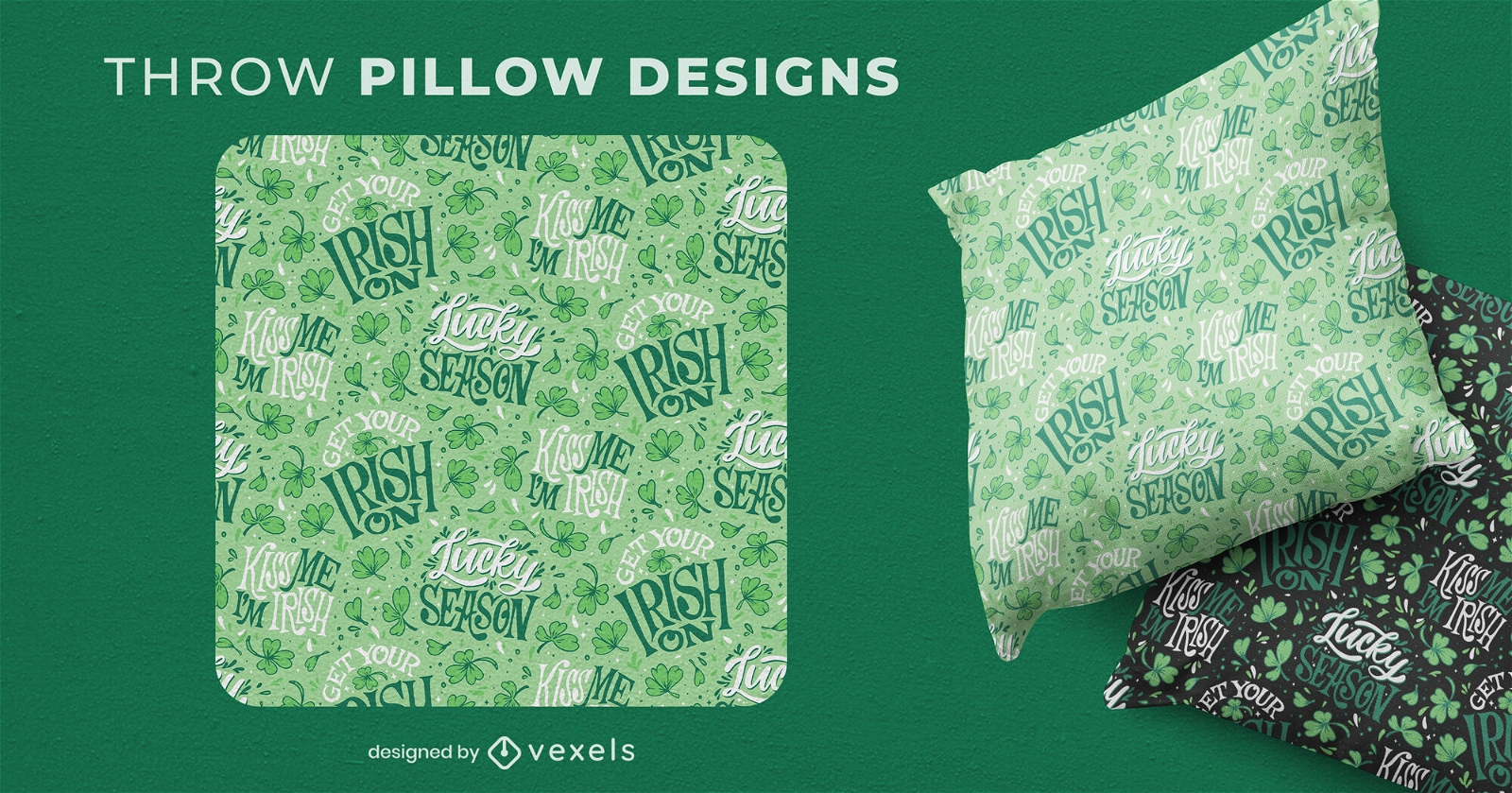
St patricks lettering throw pillow design
Choose a folder
All favorites
Create new
Save
St patricks lettering throw pillow design
Editable text
Print ready
Premium
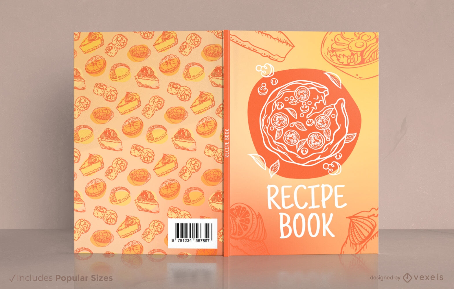
Recipe book cover design KDP
Choose a folder
All favorites
Create new
Save
Recipe book cover design KDP
Print ready
for Merch
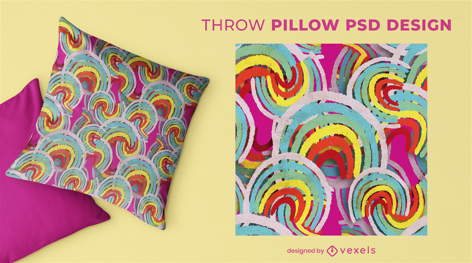
Abstract rainbow crayon throw pillow design
Choose a folder
All favorites
Create new
Save
Abstract rainbow crayon throw pillow design
Print ready
for Merch
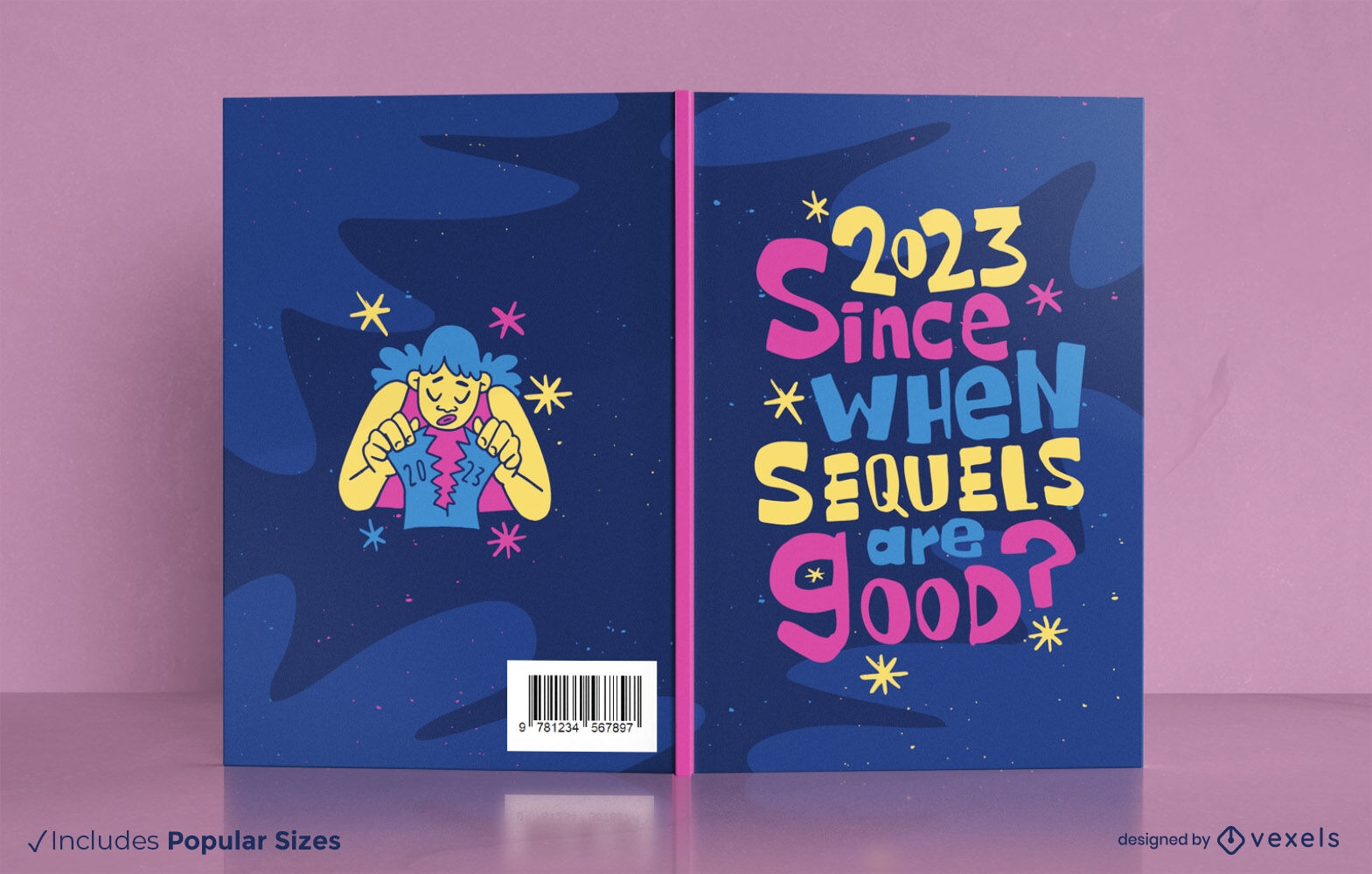
Anti 2023 planner book cover design
Choose a folder
All favorites
Create new
Save
Anti 2023 planner book cover design
Print ready
for Merch
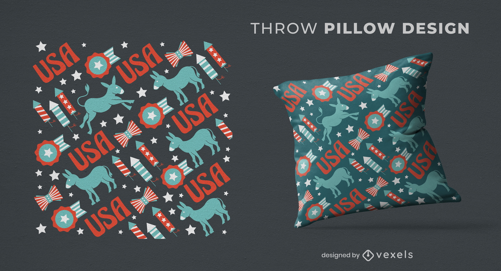
USA democrats pattern throw pillow design
Choose a folder
All favorites
Create new
Save
USA democrats pattern throw pillow design
Print ready
for Merch
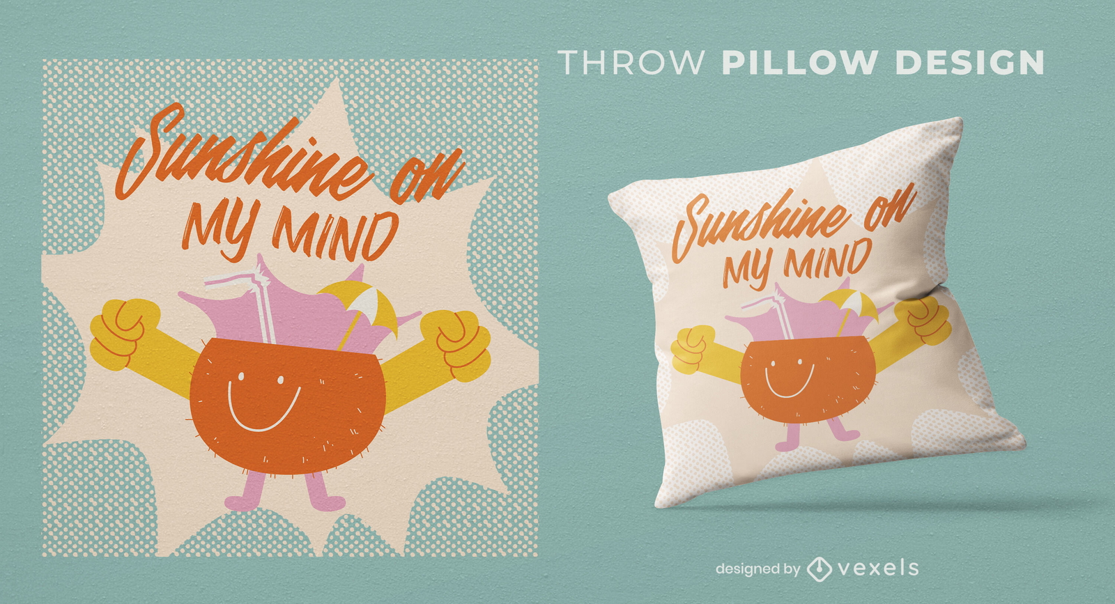
Sunshine juice throw pillow design
Choose a folder
All favorites
Create new
Save
Sunshine juice throw pillow design
Print ready
for Merch
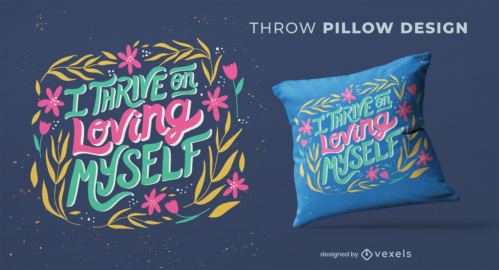
Loving myself throw pillow design
Choose a folder
All favorites
Create new
Save
Loving myself throw pillow design
Print ready
for Merch
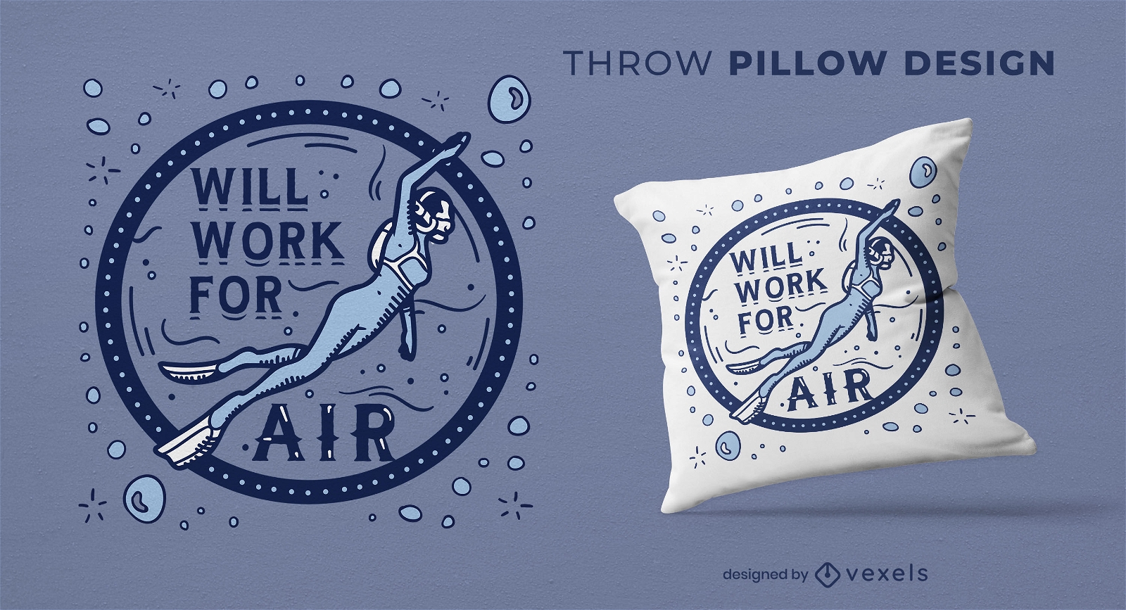
Snorkeling quote throw pillow design
Choose a folder
All favorites
Create new
Save
Snorkeling quote throw pillow design
Print ready
for Merch
Happy girl and puppy dog throw pillow design
Choose a folder
All favorites
Create new
Save
Happy girl and puppy dog throw pillow design
Print ready
for Merch
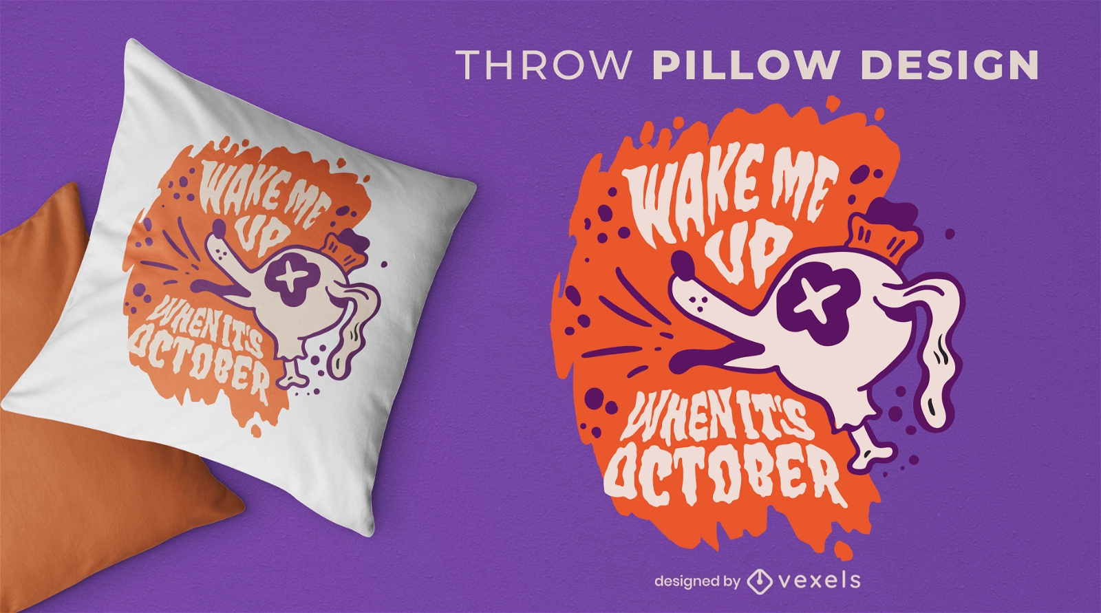
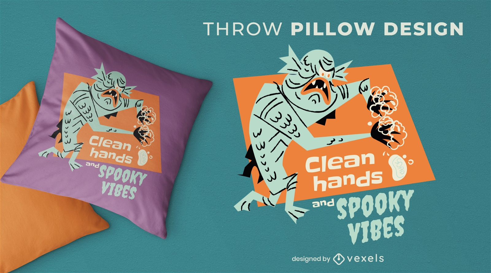
Halloween zombie dog quote throw pillow
Choose a folder
All favorites
Create new
Save
Halloween zombie dog quote throw pillow
German Content
Print ready
for Merch
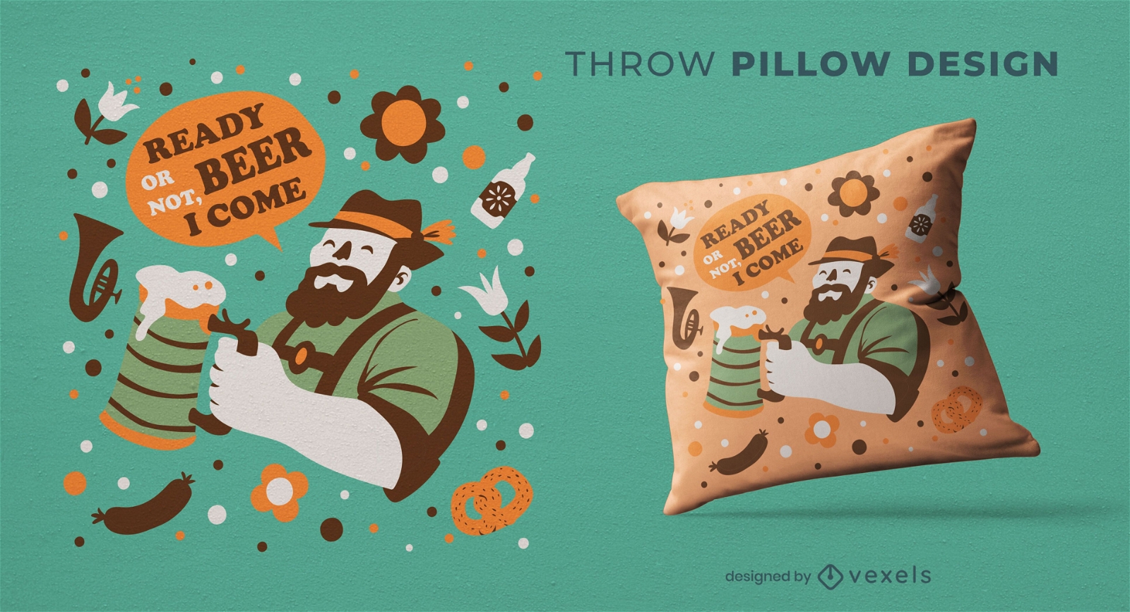
Oktoberfest celebration throw pillow design
Choose a folder
All favorites
Create new
Save
Oktoberfest celebration throw pillow design
Print ready
for Merch
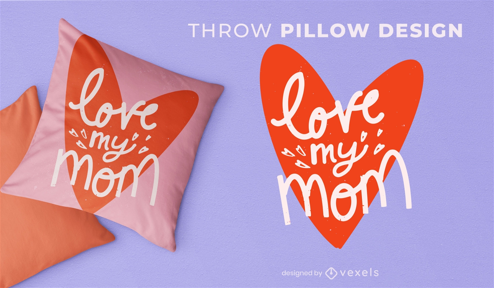
Love my mom throw pillow design
Choose a folder
All favorites
Create new
Save
Love my mom throw pillow design
Print ready
for Merch
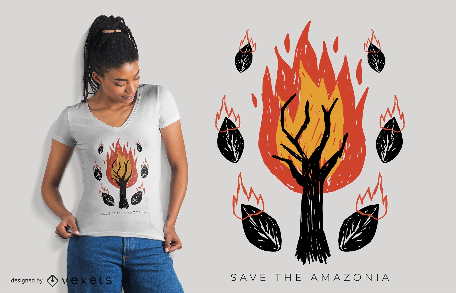
Save The Amazonia T-shirt Design
Choose a folder
All favorites
Create new
Save
Save The Amazonia T-shirt Design
Premium
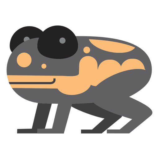
Poison dart frog illustration PNG Design
Choose a folder
All favorites
Create new
Save
Poison dart frog illustration PNG Design
Kindle Direct
Editable text
for Merch
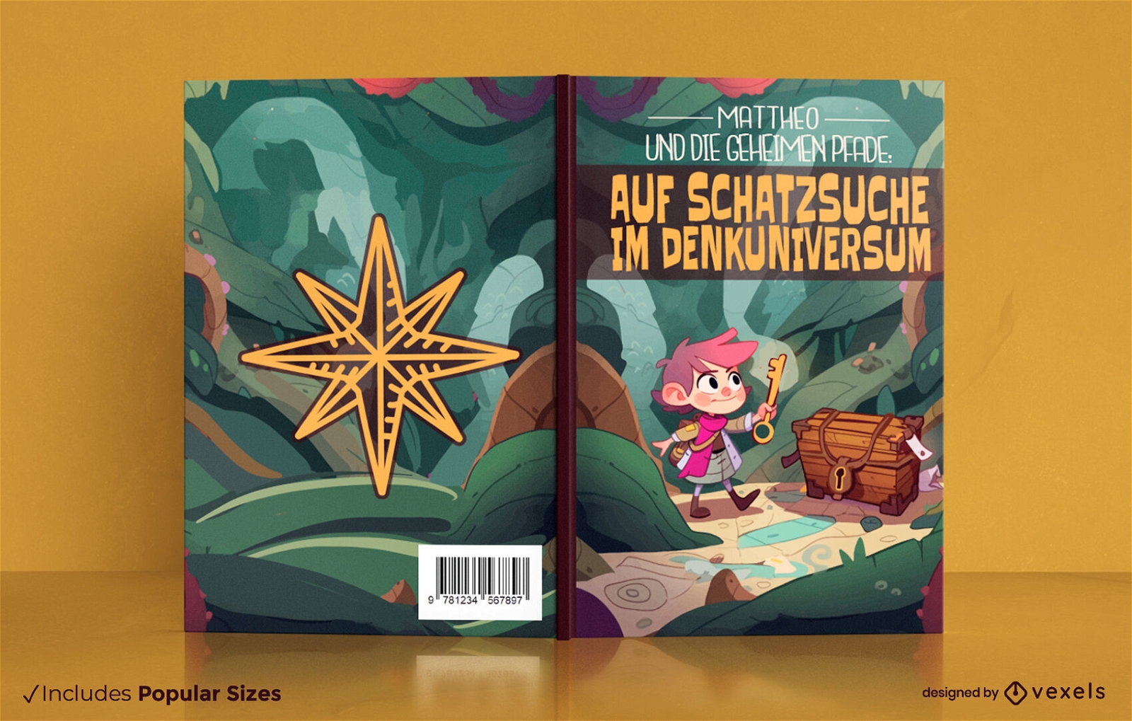
Child in an adventure book cover design
Choose a folder
All favorites
Create new
Save
Child in an adventure book cover design
Print ready
for Merch
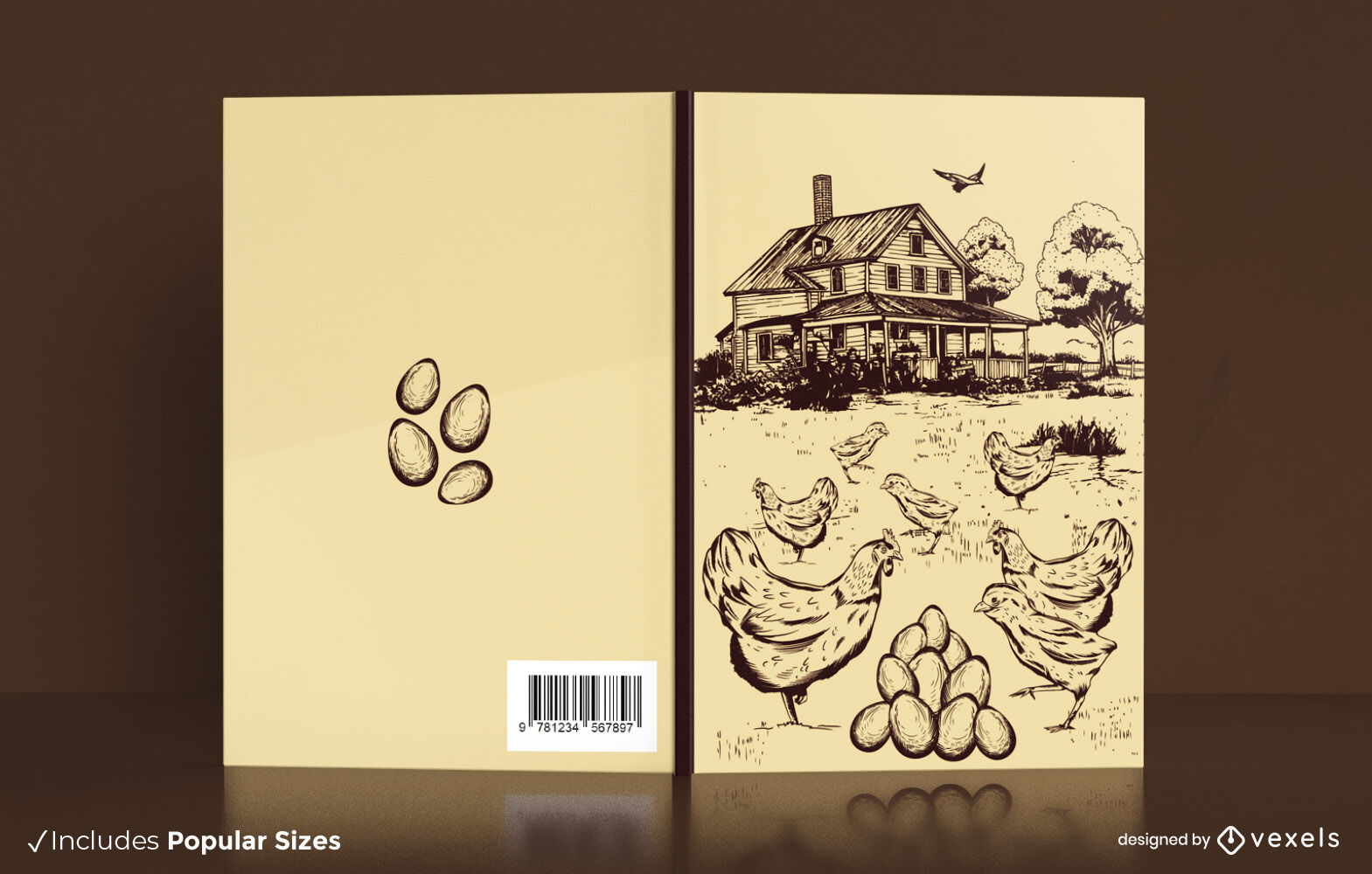
Chicken farm book cover design KDP
Choose a folder
All favorites
Create new
Save
Chicken farm book cover design KDP
Print ready
for Merch
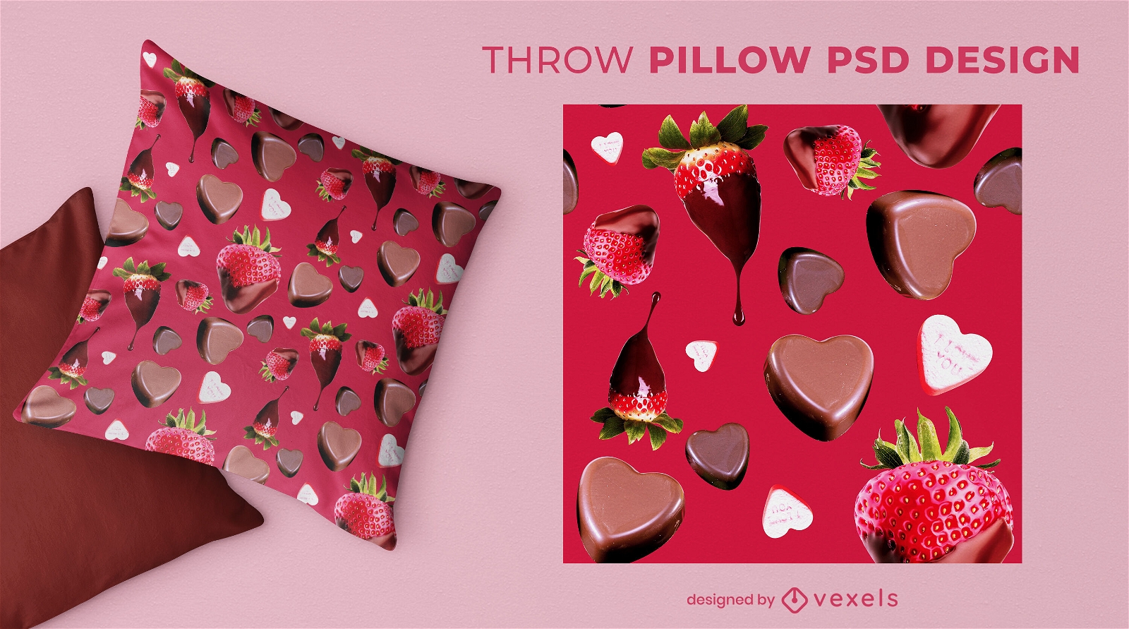
Chocolates for valentines day throw pillow psd
Choose a folder
All favorites
Create new
Save
Chocolates for valentines day throw pillow psd
Editable text
Print ready
for Merch
Pink valentines day love throw pillow design
Choose a folder
All favorites
Create new
Save
Pink valentines day love throw pillow design
Print ready
for Merch
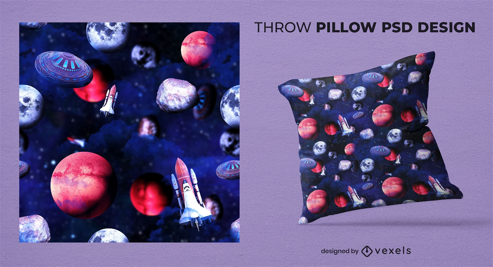
Deep space throw pillow deisgn
Choose a folder
All favorites
Create new
Save
Deep space throw pillow deisgn
Print ready
for Merch
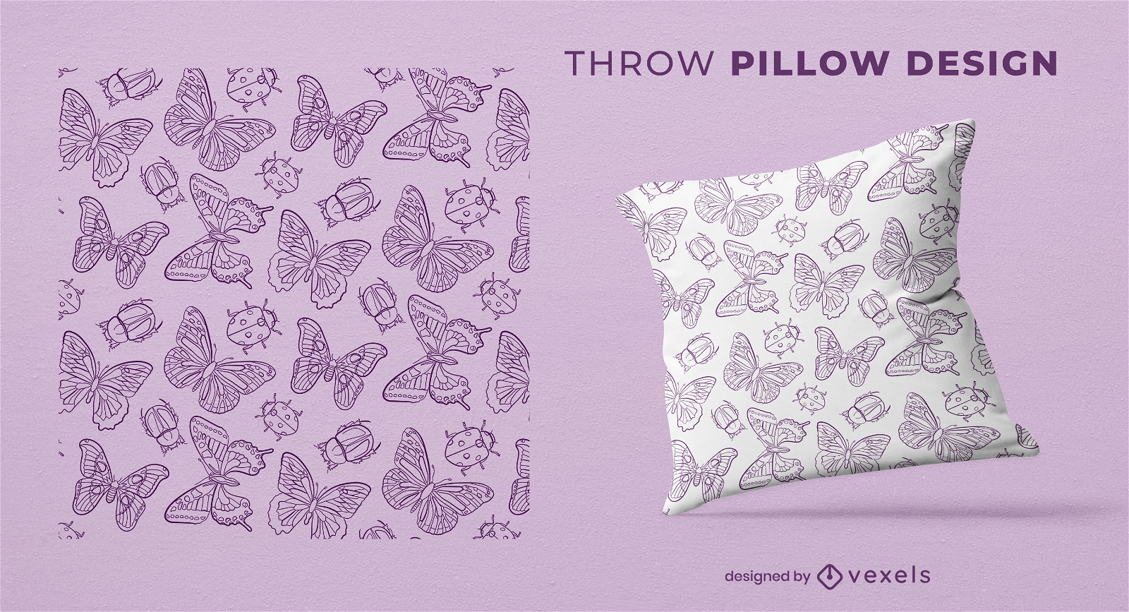
Butterflies and beetles throw pillow design
Choose a folder
All favorites
Create new
Save
Butterflies and beetles throw pillow design
Editable text
Print ready
Premium
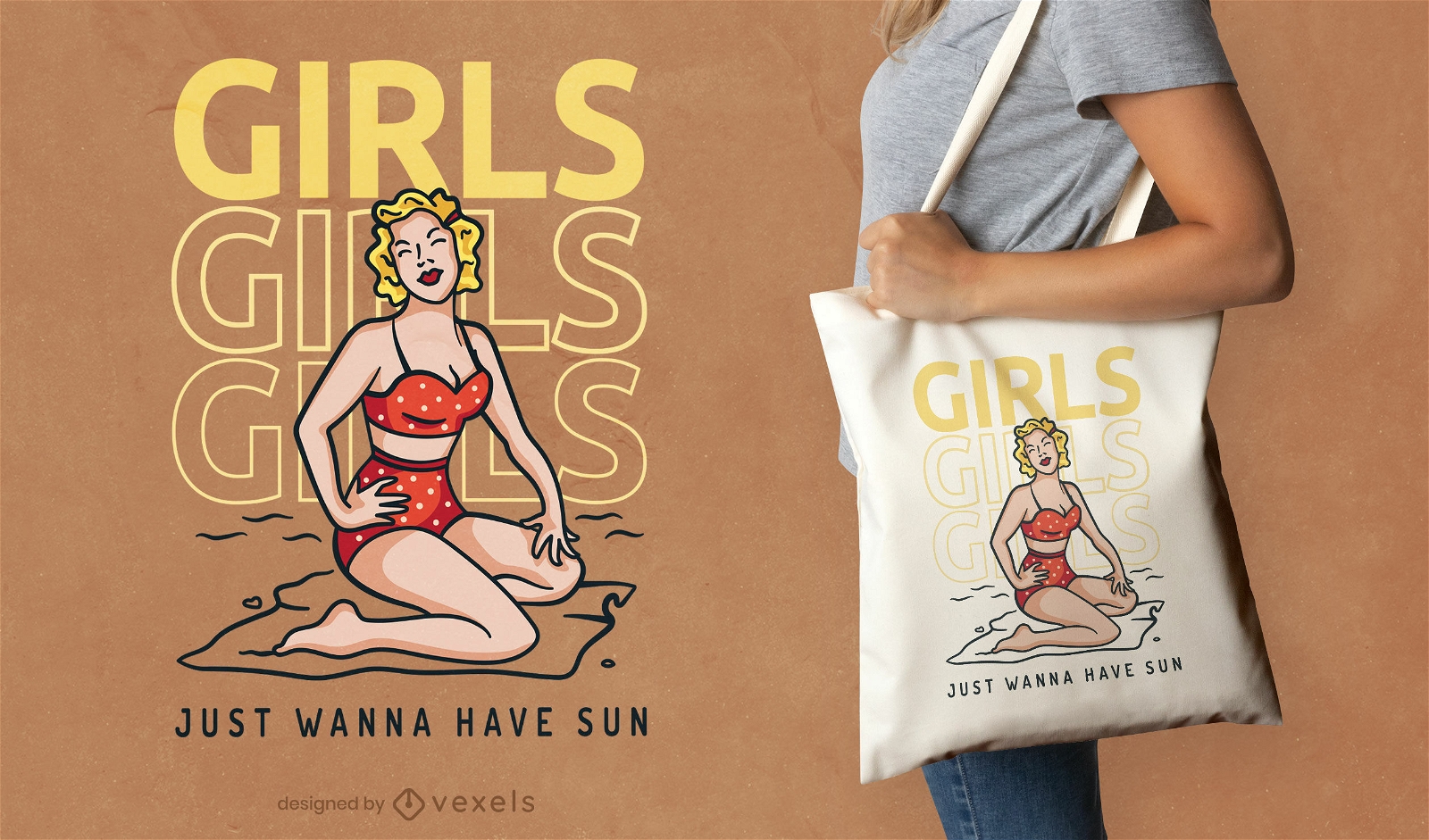
Pin up girl in a beach tote bag design
Choose a folder
All favorites
Create new
Save
Pin up girl in a beach tote bag design
Print ready
for Merch
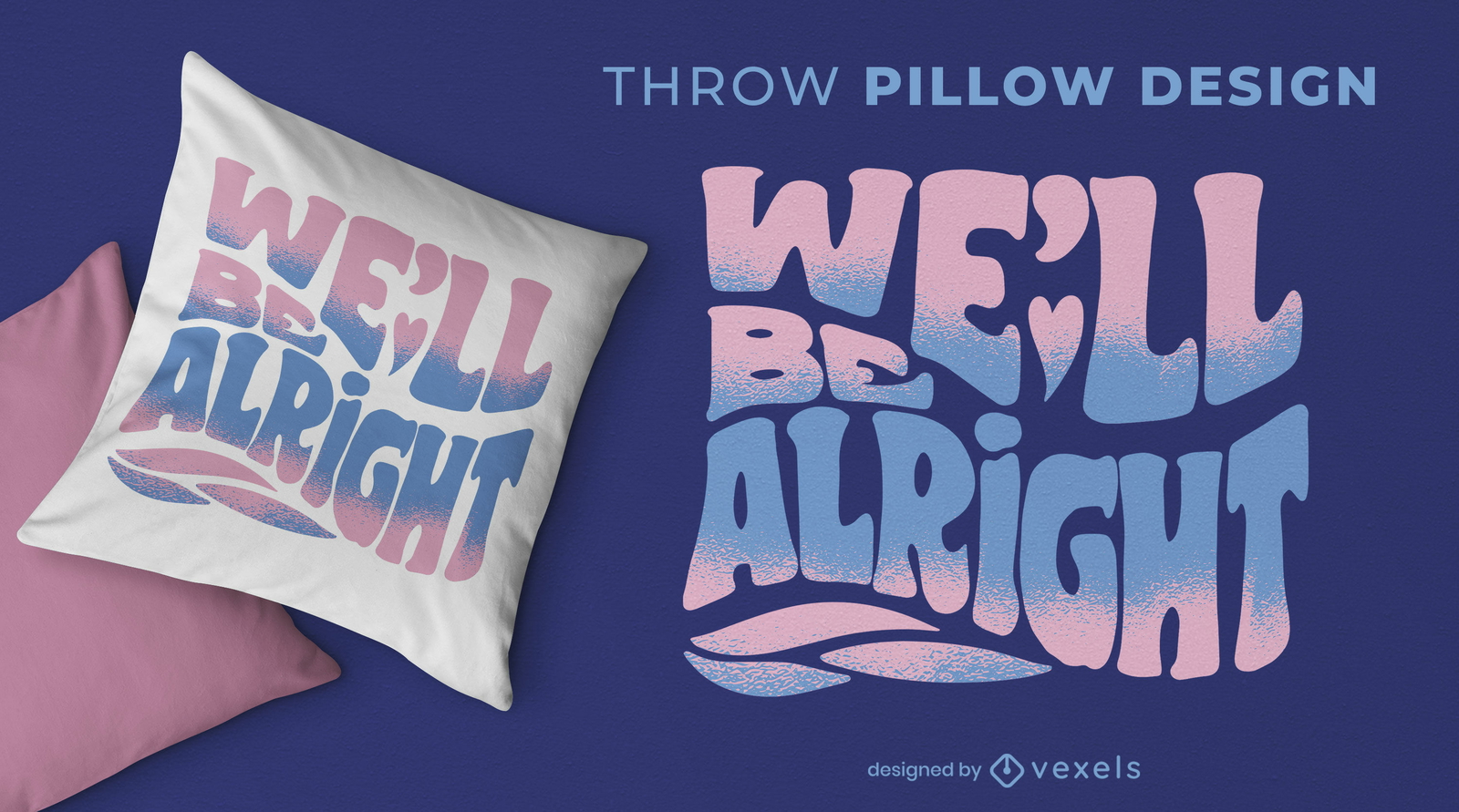
We'll be alright throw pillow design
Choose a folder
All favorites
Create new
Save
We'll be alright throw pillow design
Print ready
for Merch
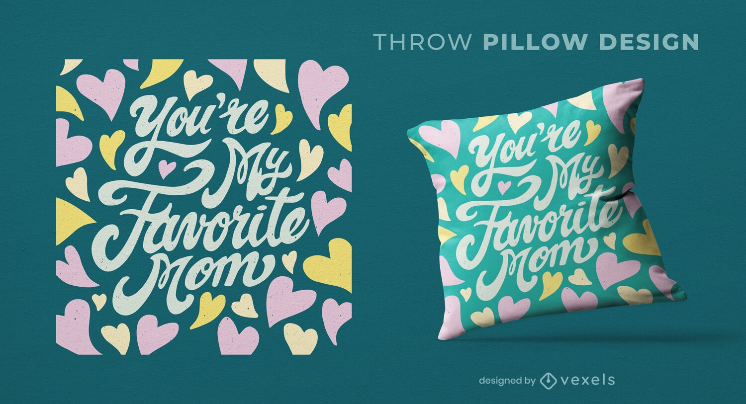
Favorite mom heart throw pillow design
Choose a folder
All favorites
Create new
Save
Favorite mom heart throw pillow design
Print ready
for Merch
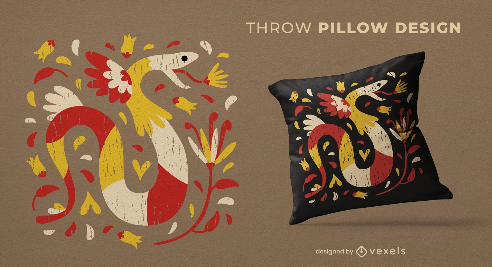
Colorful snake animal throw pillow design
Choose a folder
All favorites
Create new
Save
Colorful snake animal throw pillow design
Print ready
for Merch
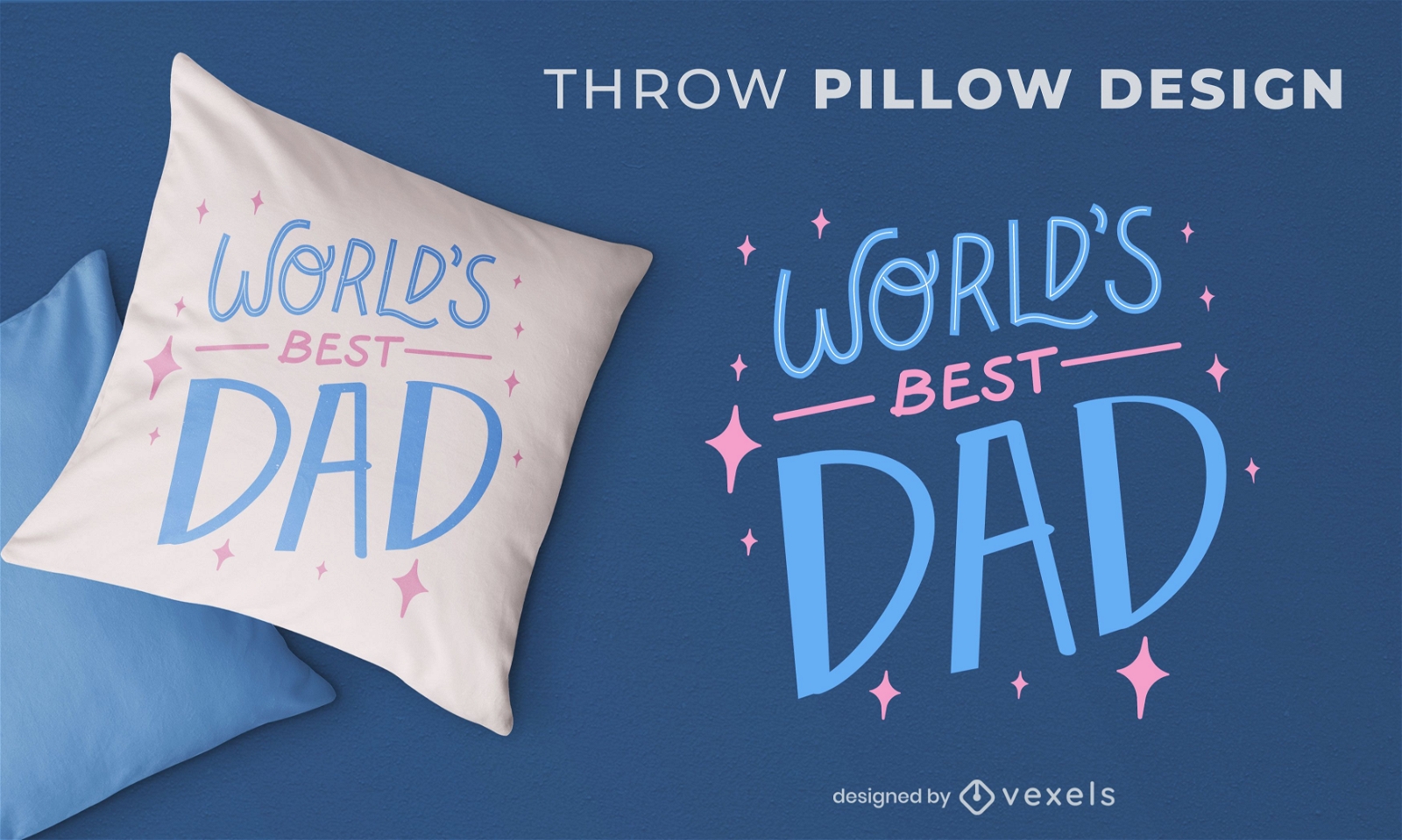
Best dad quote throw pillow design
Choose a folder
All favorites
Create new
Save
Best dad quote throw pillow design
Print ready
for Merch
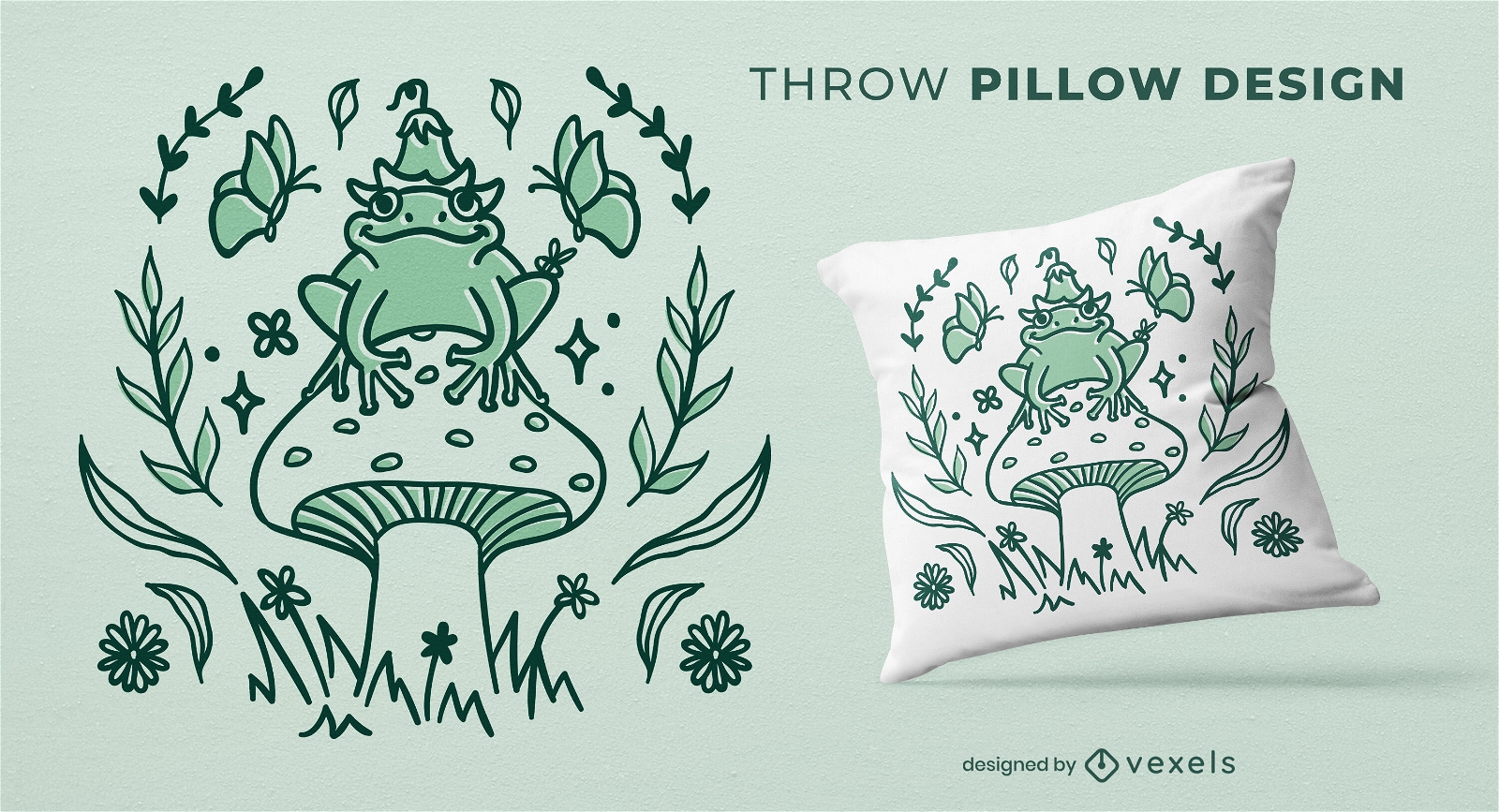
Frog king of the mushroom throw pillow design
Choose a folder
All favorites
Create new
Save
Frog king of the mushroom throw pillow design
Editable text
Print ready
for Merch
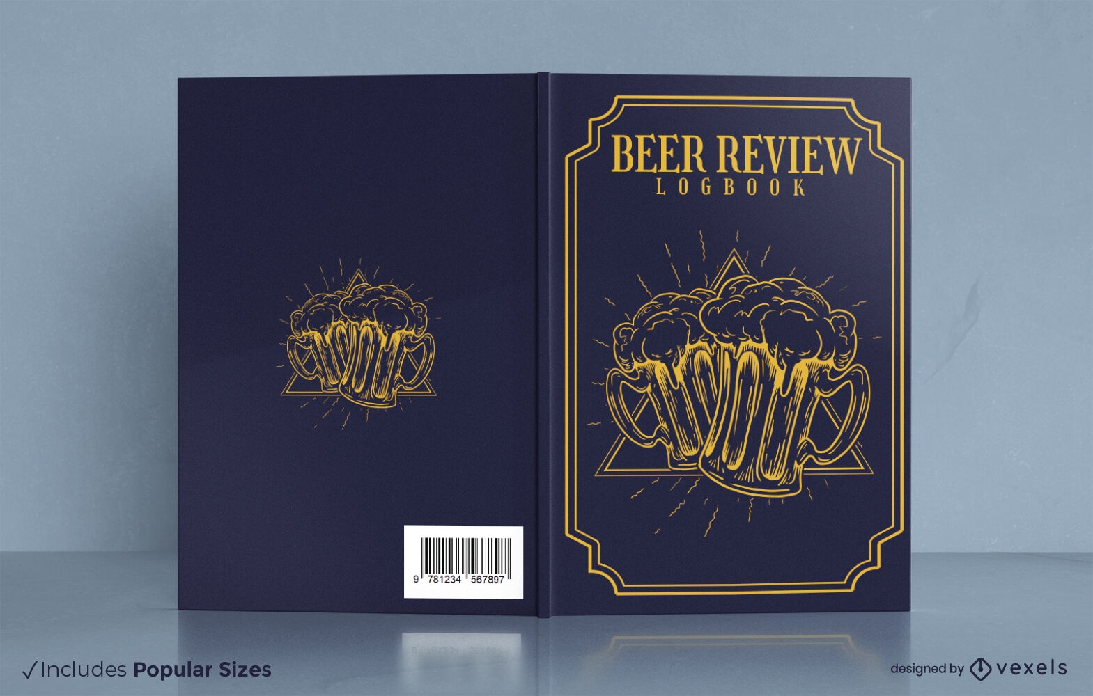
Beer tasting review book cover design
Choose a folder
All favorites
Create new
Save
Beer tasting review book cover design
Print ready
for Merch
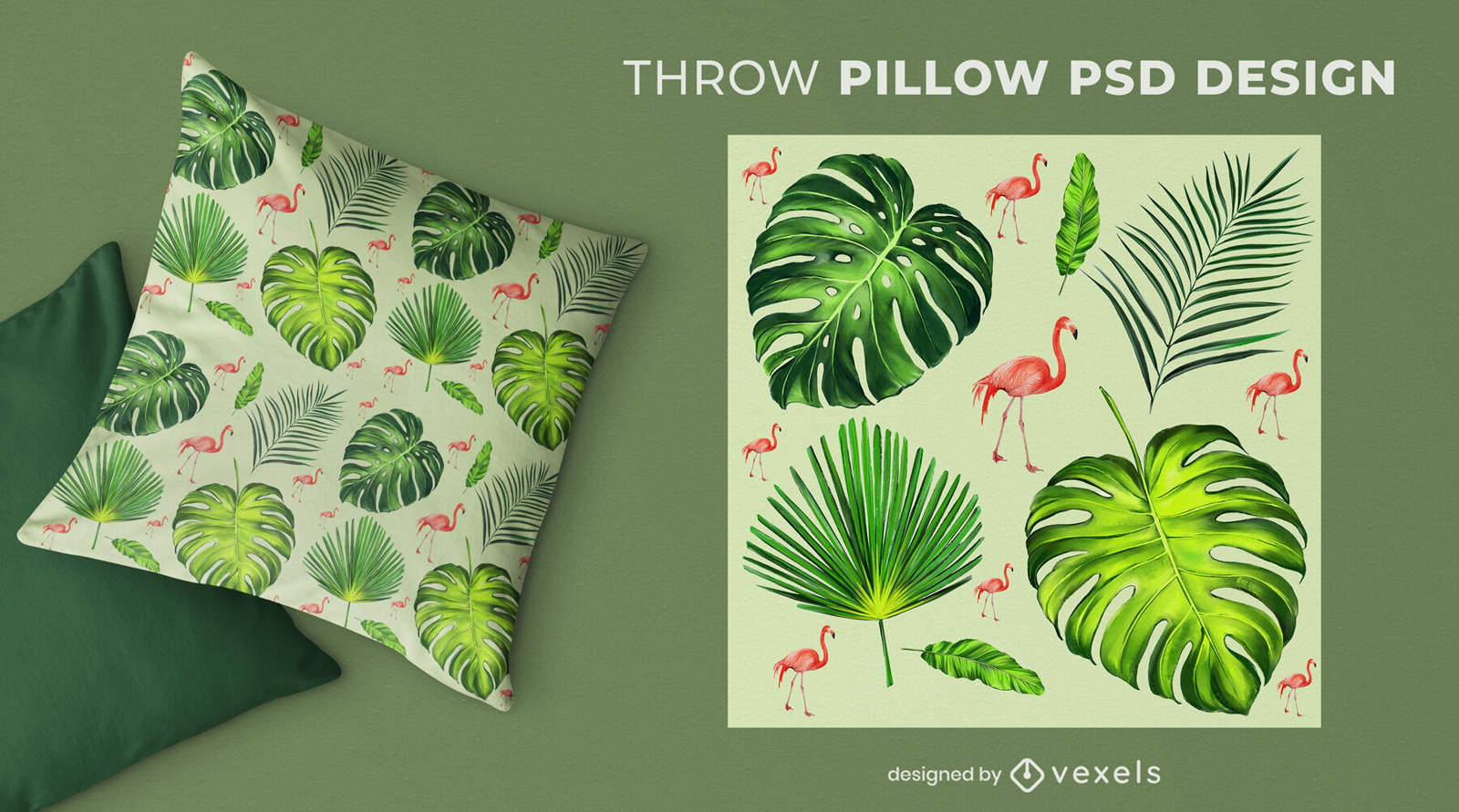
Palm tree tropical leaves throw pillow design
Choose a folder
All favorites
Create new
Save
Palm tree tropical leaves throw pillow design
Editable text
Print ready
Premium
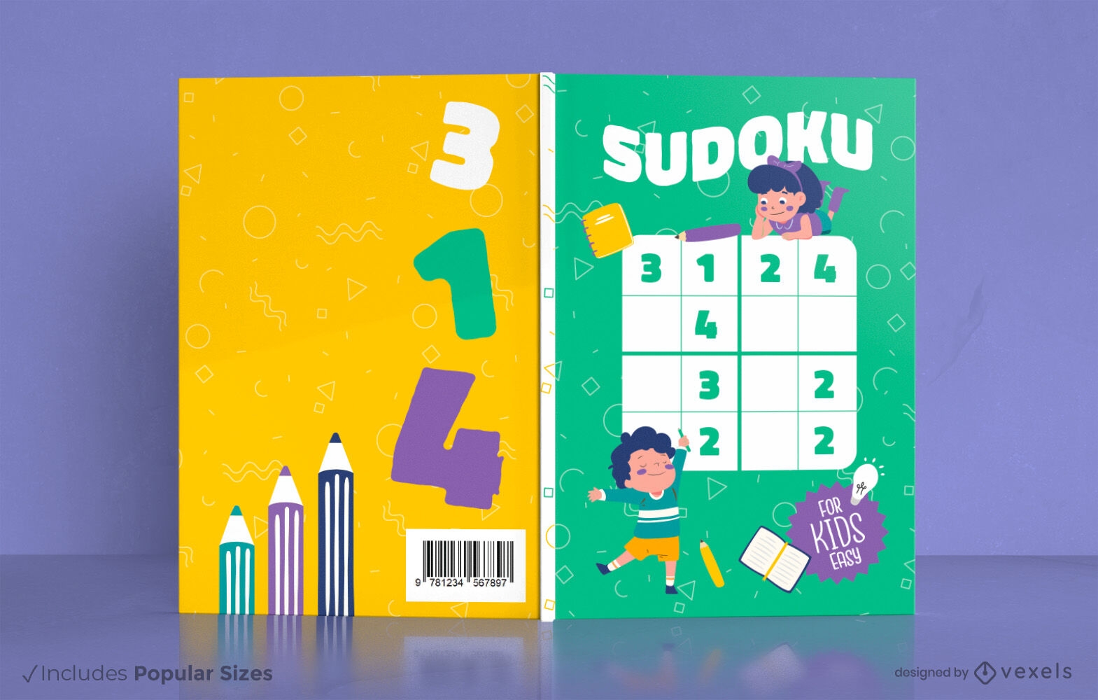
Children doing sudoku book cover design
Choose a folder
All favorites
Create new
Save
Children doing sudoku book cover design
Print ready
for Merch
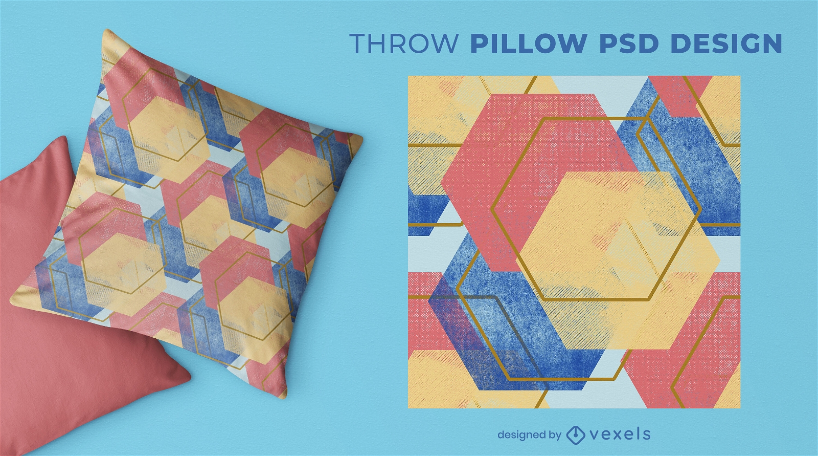
Hexagon shapes throw pillow design
Choose a folder
All favorites
Create new
Save
Hexagon shapes throw pillow design
Editable text
for Merch
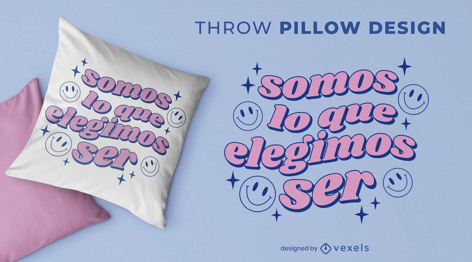
Spanish quote smiley face throw pillow design
Choose a folder
All favorites
Create new
Save
Spanish quote smiley face throw pillow design
Print ready
for Merch
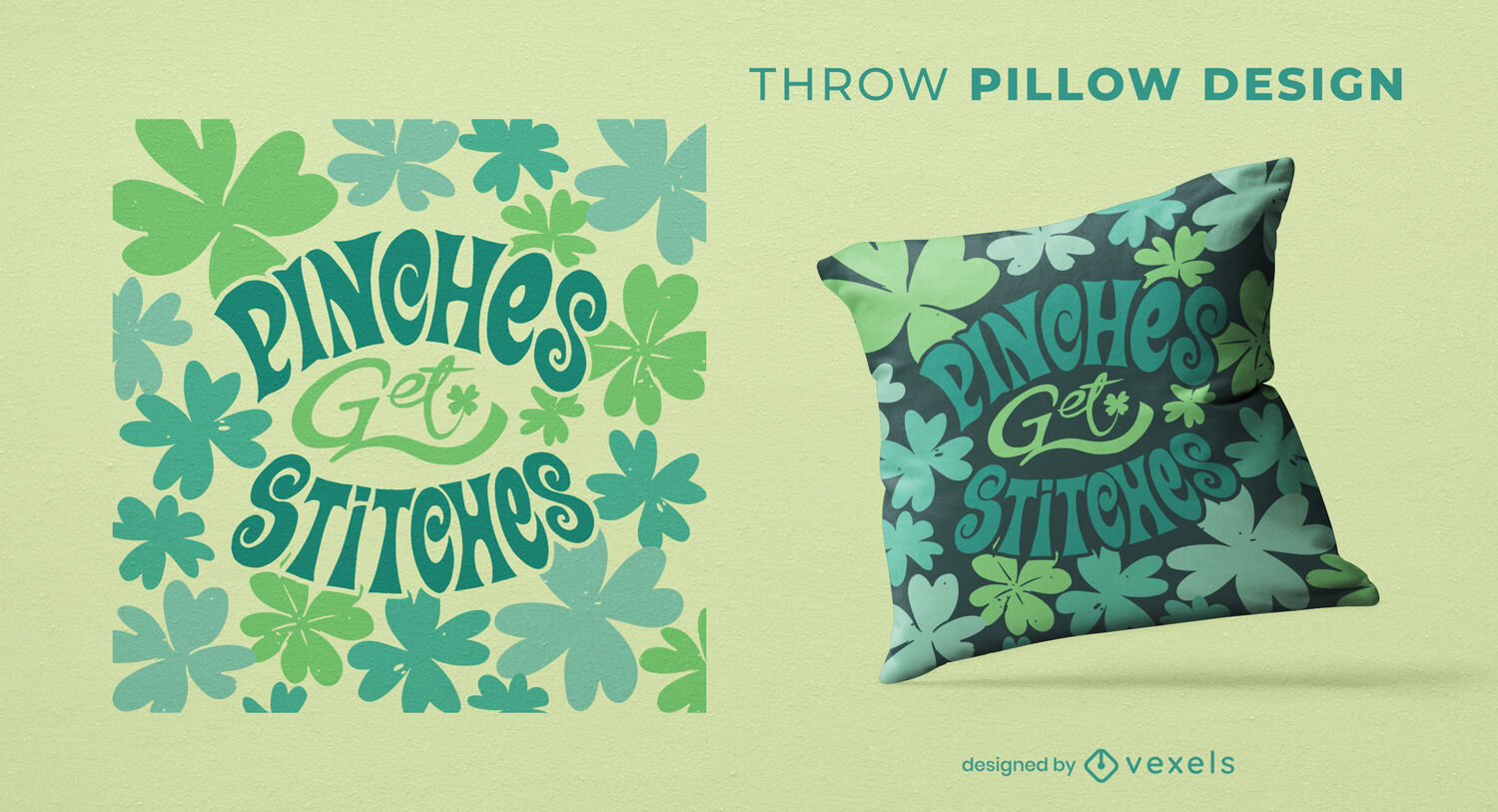
St Patrick's Day quote throw pillow design
Choose a folder
All favorites
Create new
Save
St Patrick's Day quote throw pillow design
Print ready
for Merch
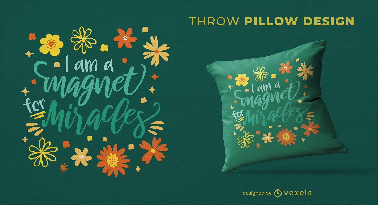
Magnet for miracles lettering throw pillow design
Choose a folder
All favorites
Create new
Save
Magnet for miracles lettering throw pillow design
Print ready
for Merch
Covid halloween throw pillow design
Choose a folder
All favorites
Create new
Save
Covid halloween throw pillow design
Print ready
for Merch
Planet space elements throw pillow design
Choose a folder
All favorites
Create new
Save
Planet space elements throw pillow design
Print ready
for Merch
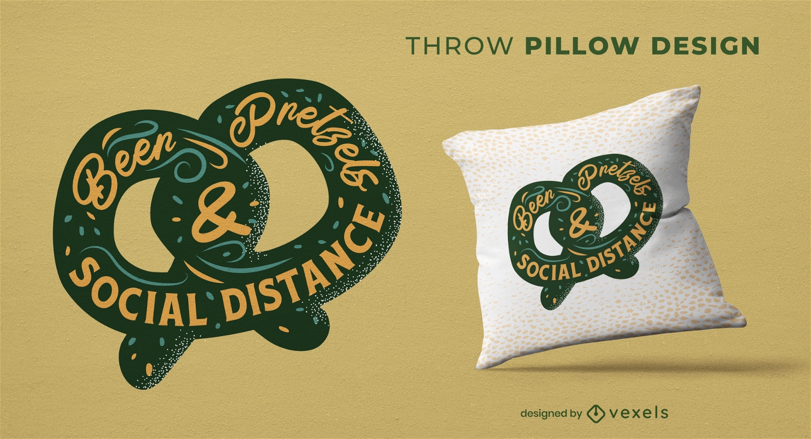
Pretzel & beer throw pillow design
Choose a folder
All favorites
Create new
Save
Pretzel & beer throw pillow design
Premium
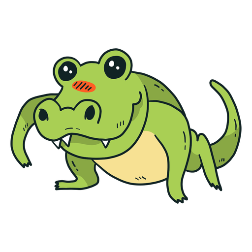
Cute crocodile alligator fang tail flat PNG Design
Choose a folder
All favorites
Create new
Save
Cute crocodile alligator fang tail flat PNG Design
Premium
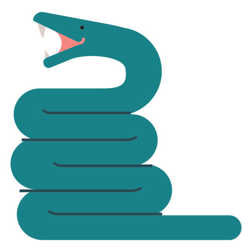
Anaconda snake illustration PNG Design
Choose a folder
All favorites
Create new
Save
Anaconda snake illustration PNG Design
Editable text
Print ready
for Merch
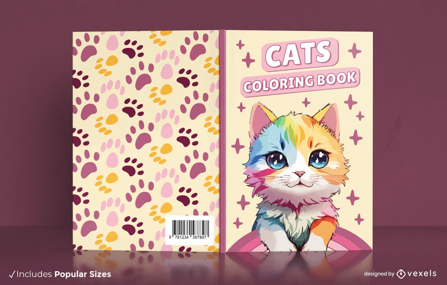
Multicolored kitten coloring book cover design
Choose a folder
All favorites
Create new
Save
Multicolored kitten coloring book cover design
Editable text
Print ready
for Merch
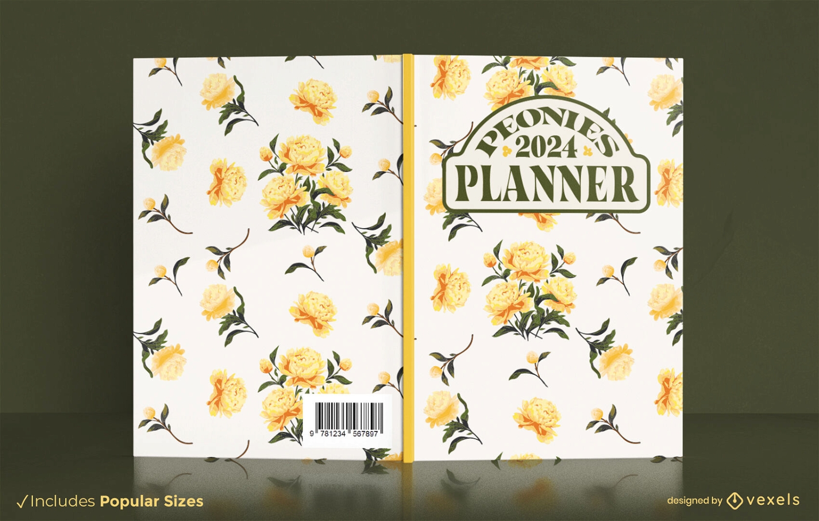
Yellow roses flowers book cover design
Choose a folder
All favorites
Create new
Save
Yellow roses flowers book cover design
Print ready
for Merch
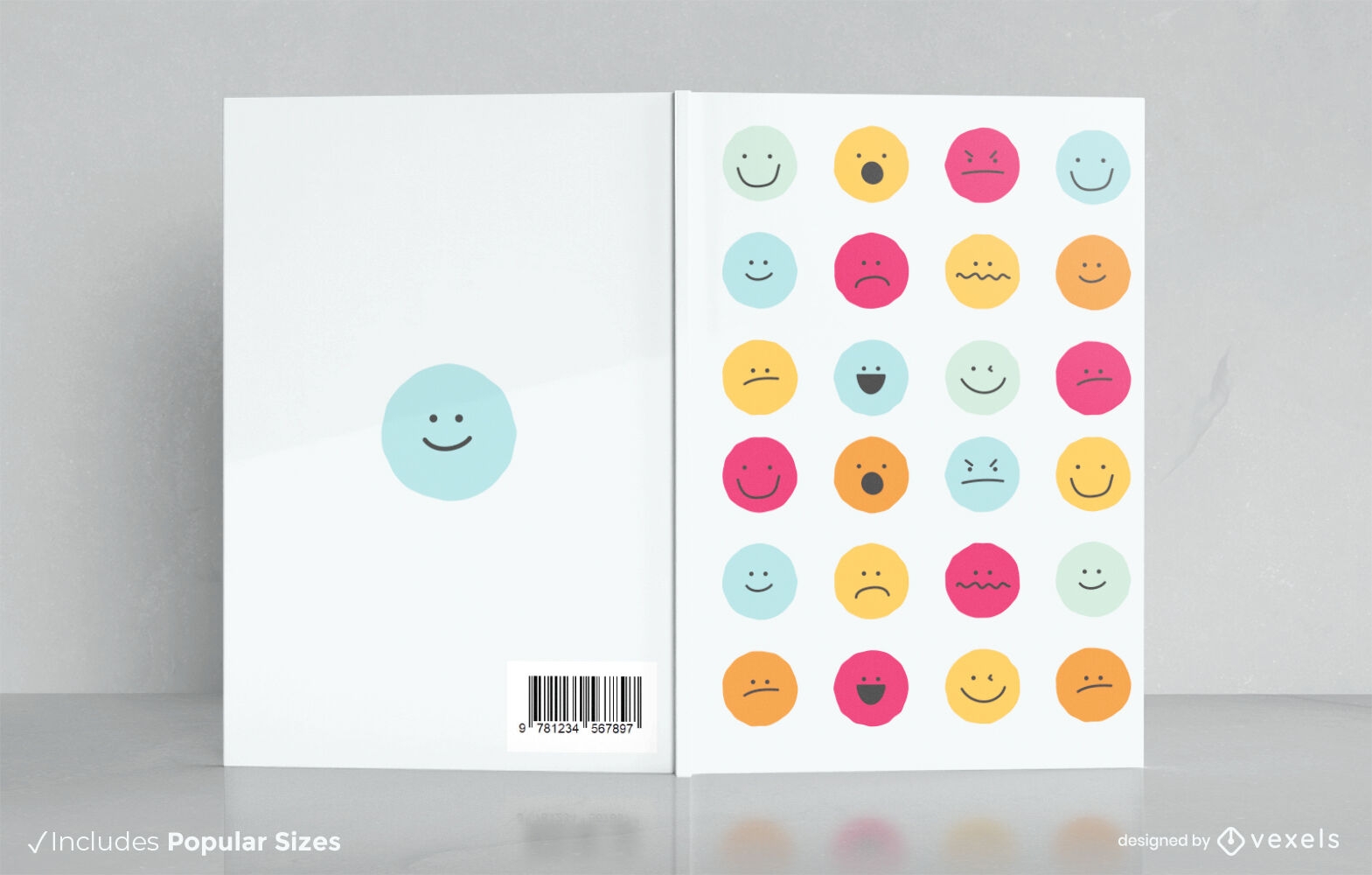
Emotion chart book cover design KDP
Choose a folder
All favorites
Create new
Save
Emotion chart book cover design KDP
Editable text
Print ready
for Merch
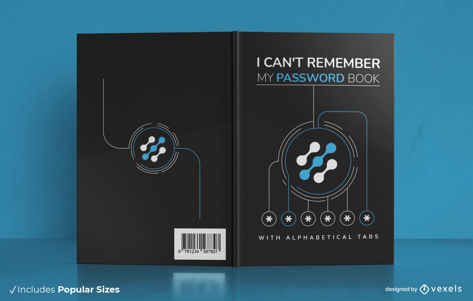
Password protection modern book cover design
Choose a folder
All favorites
Create new
Save
Password protection modern book cover design
Editable text
Print ready
Premium
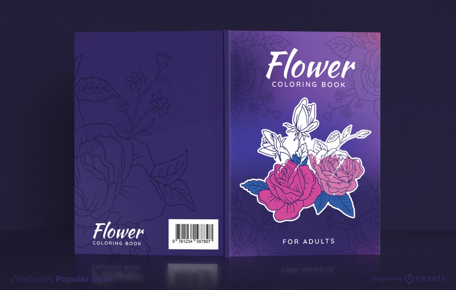
Flowers coloring book cover design
Choose a folder
All favorites
Create new
Save
Flowers coloring book cover design
Editable text
Print ready
Premium
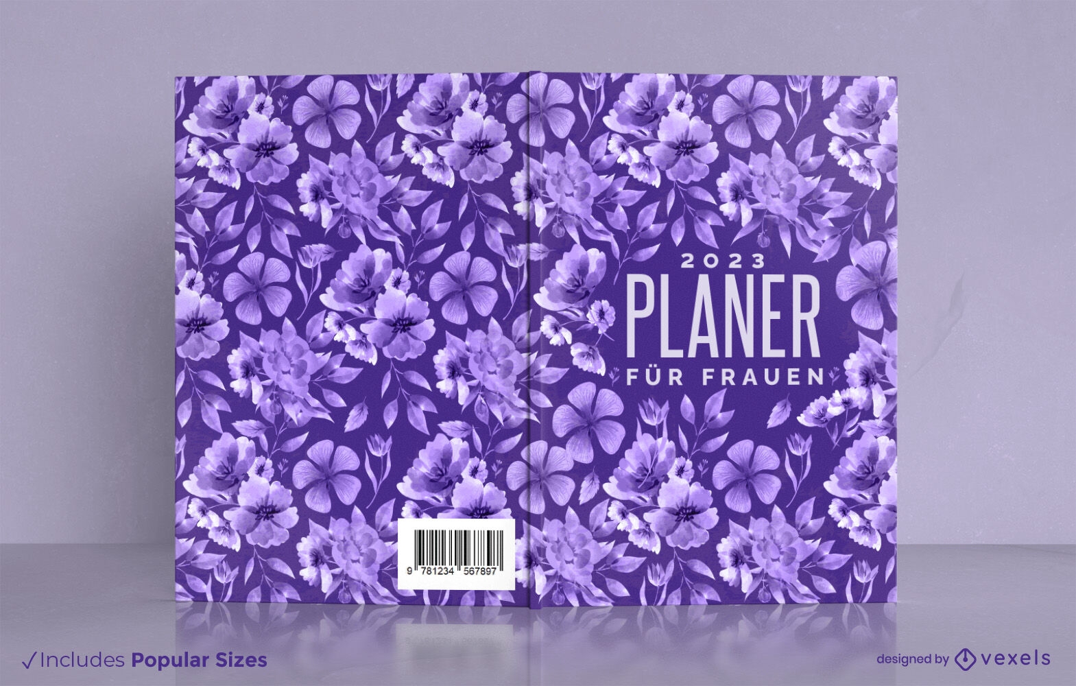
Purple flower nature book cover design
Choose a folder
All favorites
Create new
Save
Purple flower nature book cover design
Print ready
for Merch
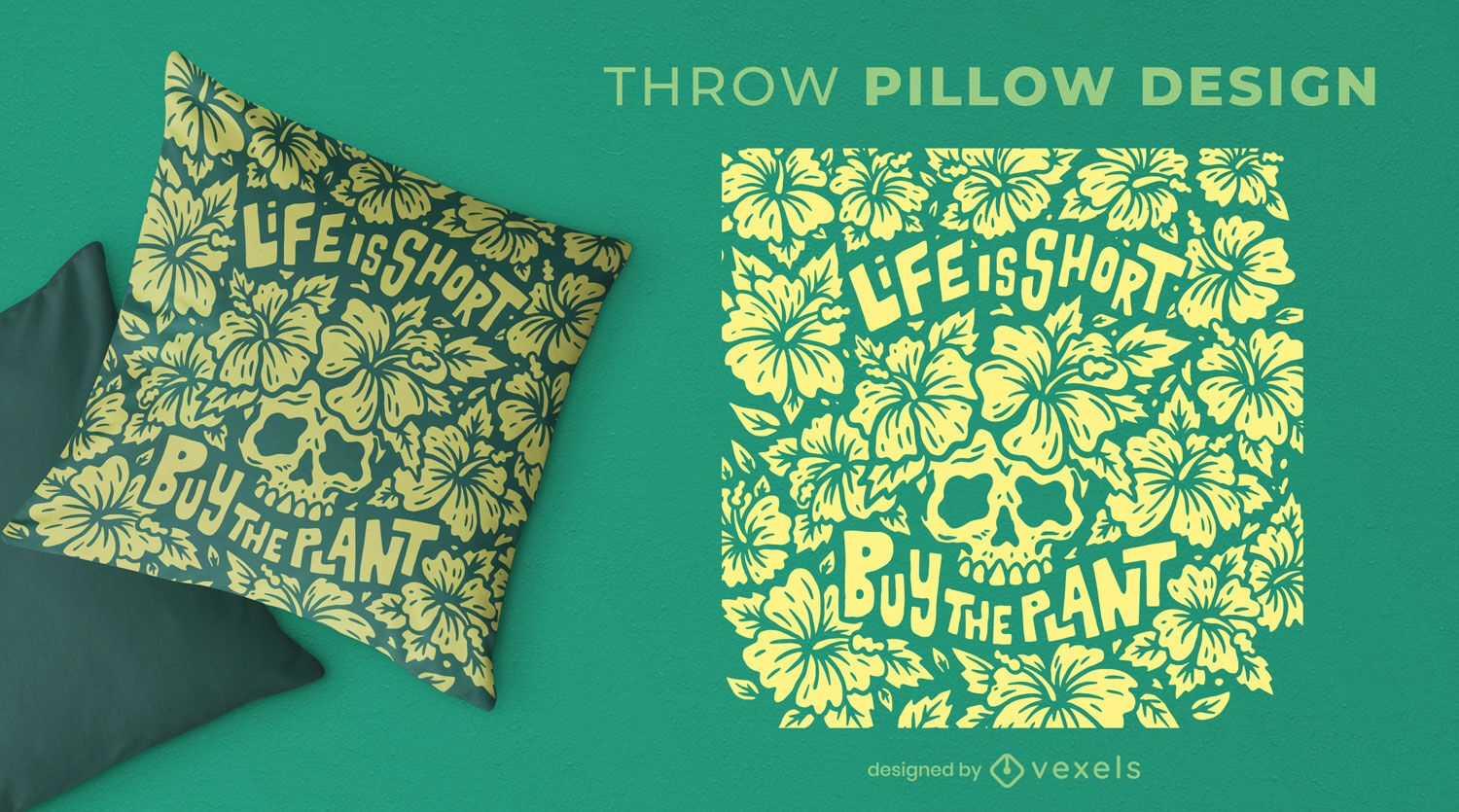
Houseplant skull quote throw pillow design
Choose a folder
All favorites
Create new
Save
Houseplant skull quote throw pillow design
Print ready
for Merch
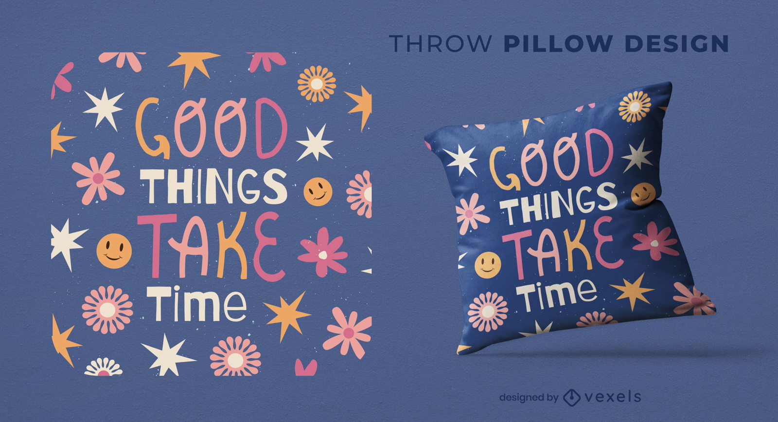
Good things take time throw pillow design
Choose a folder
All favorites
Create new
Save
Good things take time throw pillow design
Print ready
for Merch
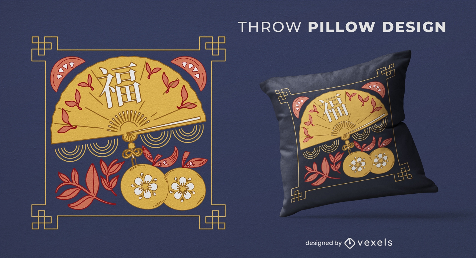
Chinese fan throw pillow design
Choose a folder
All favorites
Create new
Save
Chinese fan throw pillow design
Print ready
for Merch
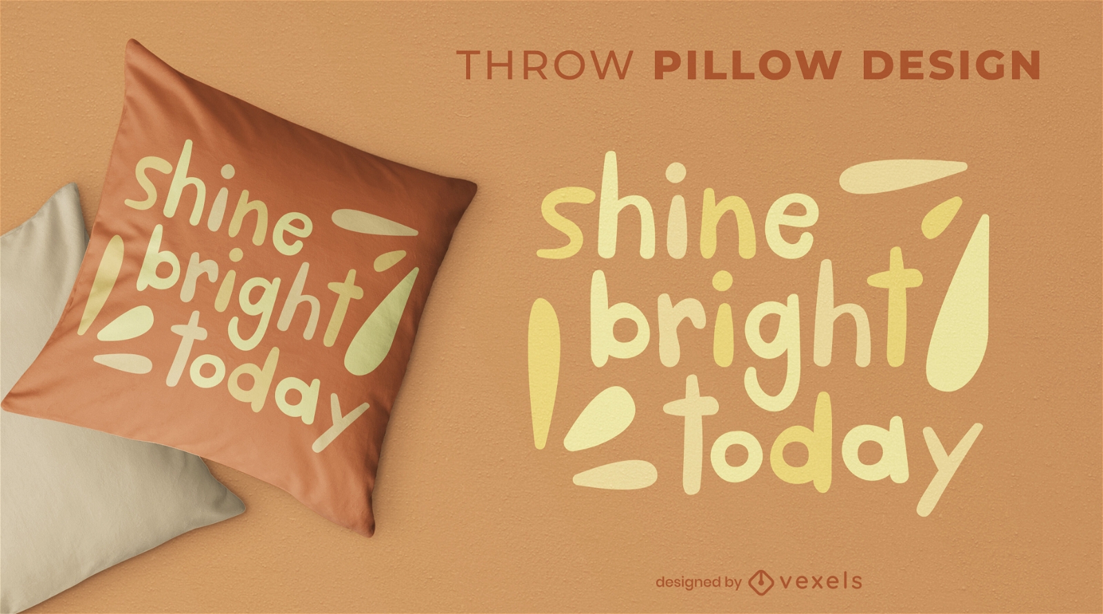
Cute shine bright throw pillow design
Choose a folder
All favorites
Create new
Save
Cute shine bright throw pillow design
Boost Your Business
With The Leading Graphic Platform For Merch.
SEE PLANS
Next
of 24
prev page
next page