Design Library
New Merch Designs
T-Shirts
Vectors
Trending Merch Designs
PNGs & SVGs
Mockups
T-Shirt PSD Templates
Explore Designs
KDP Designs
Posters
Mugs
Phone Cases
Tote Bags
Pillows
Design Tools
Merch Designer
New!
Mockup Generator
AI Design Generator
Image Vectorizer
Quote Generator
T-Shirt Maker (Old)
Resources
Merch Digest
Blog
Help Center
Learn About Merch
Feedback
Corporate Solutions
Enterprise
API Access
Design Studio
Bulk Design Production
Pricing
Loading...
Sign Up
Login
All
maps
Design Library
New Merch Designs
T-Shirts
Vectors
Trending Merch Designs
PNGs & SVGs
Mockups
T-Shirt PSD Templates
Explore Designs
KDP Designs
Posters
Mugs
Phone Cases
Tote Bags
Pillows
Design Tools
Merch Designer
New!
Mockup Generator
AI Design Generator
Image Vectorizer
Quote Generator
T-Shirt Maker (Old)
Resources
Merch Digest
Blog
Help Center
Learn About Merch
Feedback
Corporate Solutions
Enterprise
API Access
Design Studio
Bulk Design Production
PLANS
All
maps
5263 maps Graphics and Designs
Maps Graphics to download
Related:
world maps
,
base maps
,
world livestock maps
Sort by
Most relevant
Sponsored results by
Get 15% off with code: VEXELS15
Show more
Message in a bottle color stroke PNG Design
Choose a folder
All favorites
Create new
Save
Message in a bottle color stroke PNG Design
Premium
Italy Flag Doodle Design
Choose a folder
All favorites
Create new
Save
Italy Flag Doodle Design
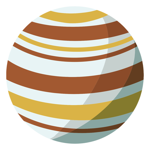
Brown jupiter simple solar system planet PNG Design
Choose a folder
All favorites
Create new
Save
Brown jupiter simple solar system planet PNG Design
Premium
Official argentinian sun hand drawn PNG Design
Choose a folder
All favorites
Create new
Save
Official argentinian sun hand drawn PNG Design
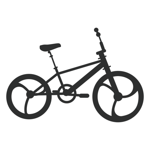
Bmx bike silhouette PNG Design
Choose a folder
All favorites
Create new
Save
Bmx bike silhouette PNG Design
Jupiter planet illustration PNG Design
Choose a folder
All favorites
Create new
Save
Jupiter planet illustration PNG Design
Snowman scene snow globe PNG Design
Choose a folder
All favorites
Create new
Save
Snowman scene snow globe PNG Design
Cute south korean gamer character PNG Design
Choose a folder
All favorites
Create new
Save
Cute south korean gamer character PNG Design
Cute south korean girl character PNG Design
Choose a folder
All favorites
Create new
Save
Cute south korean girl character PNG Design
Globe doodle PNG Design
Choose a folder
All favorites
Create new
Save
Globe doodle PNG Design
Premium
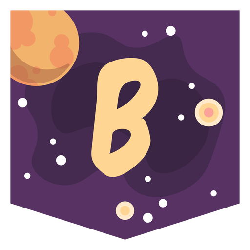
Colorful space letter b flat PNG Design
Choose a folder
All favorites
Create new
Save
Colorful space letter b flat PNG Design
Premium
Hibiscus flower icon PNG Design
Choose a folder
All favorites
Create new
Save
Hibiscus flower icon PNG Design
Premium
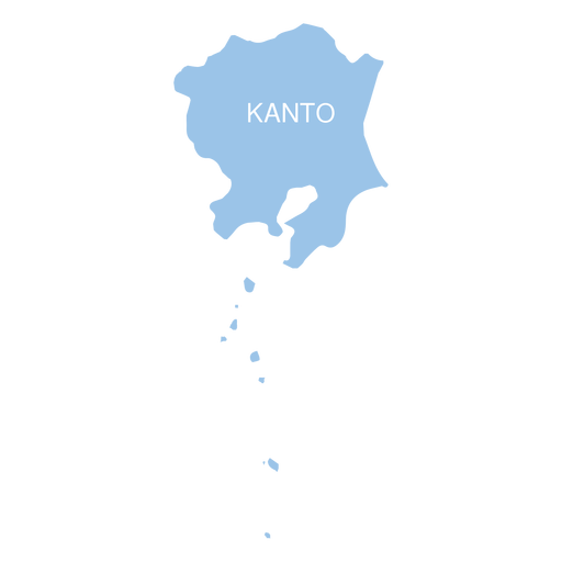
Kanto region map PNG Design
Choose a folder
All favorites
Create new
Save
Kanto region map PNG Design
Premium
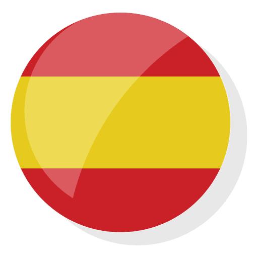
Spain flag war PNG Design
Choose a folder
All favorites
Create new
Save
Spain flag war PNG Design
Premium
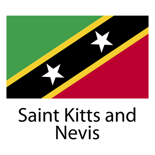
Saint kitts and nevis national flag PNG Design
Choose a folder
All favorites
Create new
Save
Saint kitts and nevis national flag PNG Design
Natural Design
Choose a folder
All favorites
Create new
Save
Natural Design
Premium
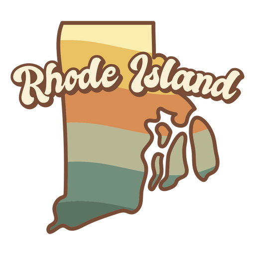
Rhode island state retro PNG Design
Choose a folder
All favorites
Create new
Save
Rhode island state retro PNG Design
Premium
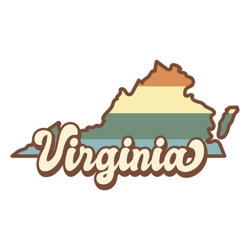
Virginia state map in a retro style PNG Design
Choose a folder
All favorites
Create new
Save
Virginia state map in a retro style PNG Design
Premium
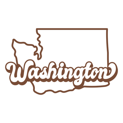
The word washington in brown PNG Design
Choose a folder
All favorites
Create new
Save
The word washington in brown PNG Design
Premium
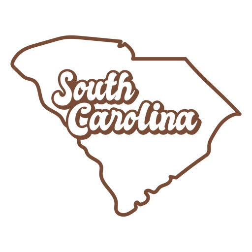
The state of south carolina is shown PNG Design
Choose a folder
All favorites
Create new
Save
The state of south carolina is shown PNG Design
West virginia duotone states PNG Design
Choose a folder
All favorites
Create new
Save
West virginia duotone states PNG Design
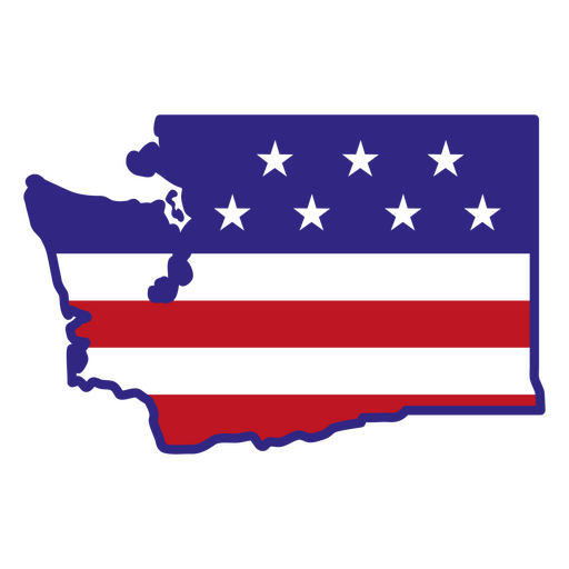
Washington color stroke states PNG Design
Choose a folder
All favorites
Create new
Save
Washington color stroke states PNG Design
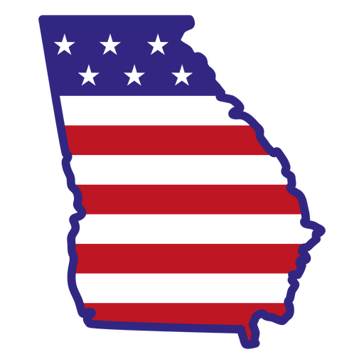
Georgia color stroke states PNG Design
Choose a folder
All favorites
Create new
Save
Georgia color stroke states PNG Design
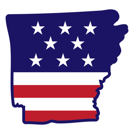
Arkansas map color stroke PNG Design
Choose a folder
All favorites
Create new
Save
Arkansas map color stroke PNG Design
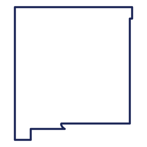
New Mexico state stroke map PNG Design
Choose a folder
All favorites
Create new
Save
New Mexico state stroke map PNG Design
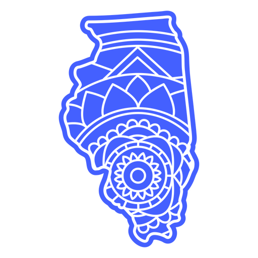
Illinois state mandala map PNG Design
Choose a folder
All favorites
Create new
Save
Illinois state mandala map PNG Design
Bull skull cut out PNG Design
Choose a folder
All favorites
Create new
Save
Bull skull cut out PNG Design
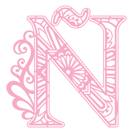
Pink letter Ñ mandala PNG Design
Choose a folder
All favorites
Create new
Save
Pink letter Ñ mandala PNG Design
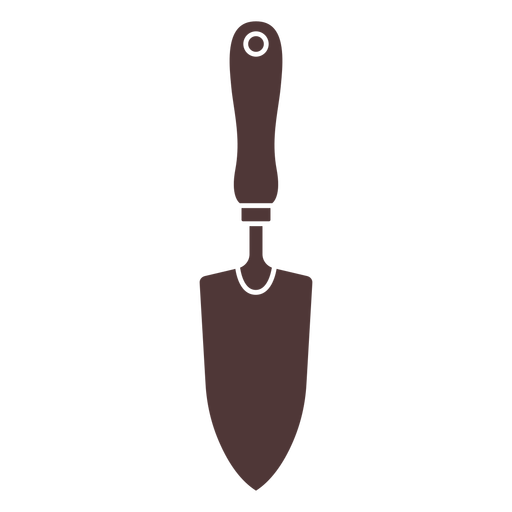
Garden hand shovel cut out PNG Design
Choose a folder
All favorites
Create new
Save
Garden hand shovel cut out PNG Design
Red book color stroke PNG Design
Choose a folder
All favorites
Create new
Save
Red book color stroke PNG Design
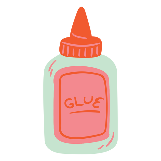
Semi flat glue bottle PNG Design
Choose a folder
All favorites
Create new
Save
Semi flat glue bottle PNG Design
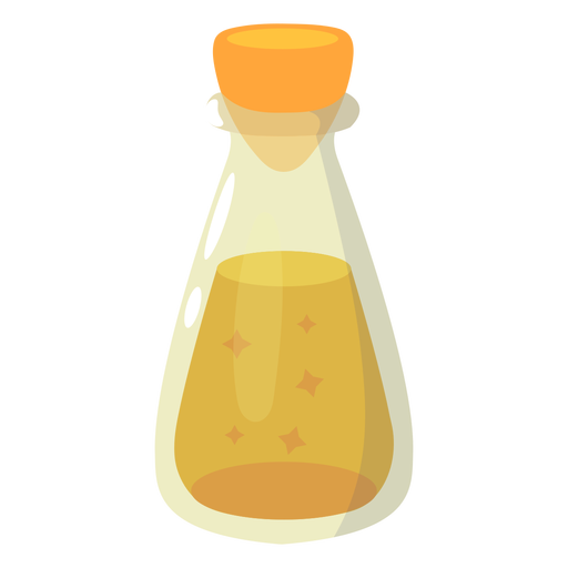
Magic potion yellow vial PNG Design
Choose a folder
All favorites
Create new
Save
Magic potion yellow vial PNG Design
Coral pattern filled stroke PNG Design
Choose a folder
All favorites
Create new
Save
Coral pattern filled stroke PNG Design
Yellow cross color stroke PNG Design
Choose a folder
All favorites
Create new
Save
Yellow cross color stroke PNG Design
Buoy with flag cut out PNG Design
Choose a folder
All favorites
Create new
Save
Buoy with flag cut out PNG Design
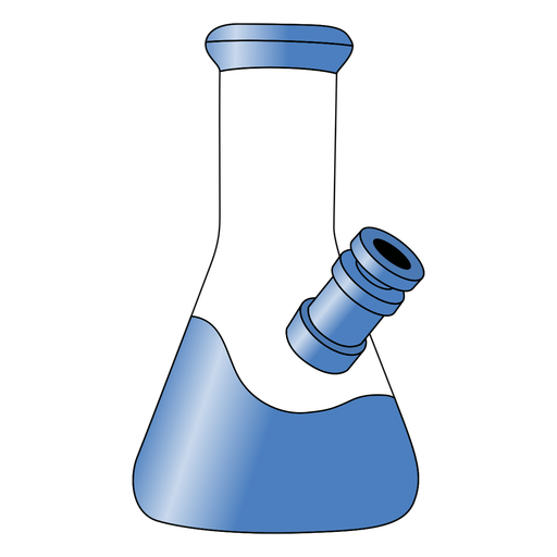
Blue smoking bong gradient PNG Design
Choose a folder
All favorites
Create new
Save
Blue smoking bong gradient PNG Design
Running wolf logo PNG Design
Choose a folder
All favorites
Create new
Save
Running wolf logo PNG Design
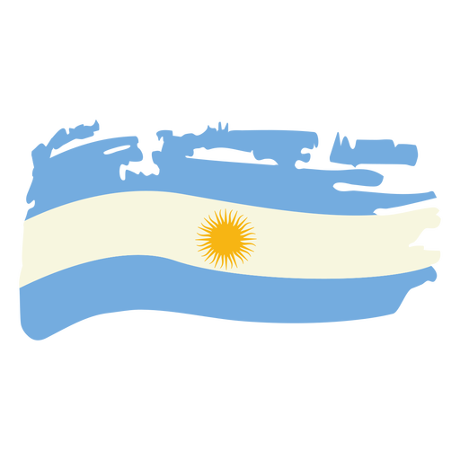
Argentina brushy flag design PNG Design
Choose a folder
All favorites
Create new
Save
Argentina brushy flag design PNG Design
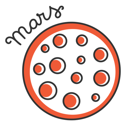
Mars simple solar system planet PNG Design
Choose a folder
All favorites
Create new
Save
Mars simple solar system planet PNG Design
Globe planet flat stroke PNG Design
Choose a folder
All favorites
Create new
Save
Globe planet flat stroke PNG Design
Premium
Russia flag language icon circle PNG Design
Choose a folder
All favorites
Create new
Save
Russia flag language icon circle PNG Design
Premium
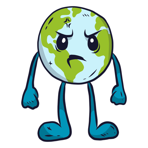
Planet earth anger flat PNG Design
Choose a folder
All favorites
Create new
Save
Planet earth anger flat PNG Design
Premium
Grey earth icon PNG Design
Choose a folder
All favorites
Create new
Save
Grey earth icon PNG Design
Premium
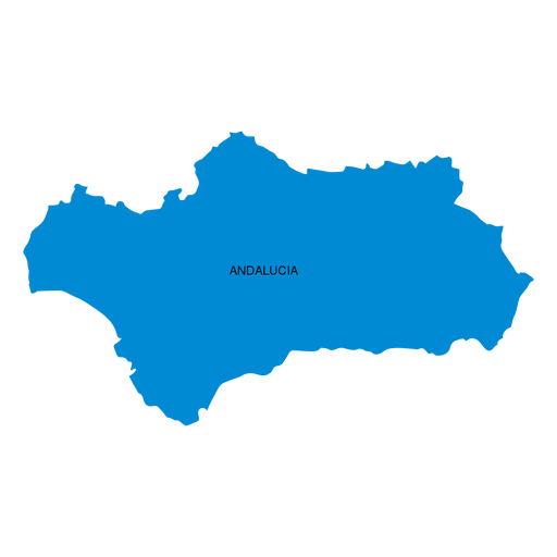
Andalusia autonomous community map PNG Design
Choose a folder
All favorites
Create new
Save
Andalusia autonomous community map PNG Design
Premium
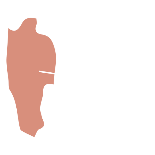
Mizoram state map PNG Design
Choose a folder
All favorites
Create new
Save
Mizoram state map PNG Design
Premium
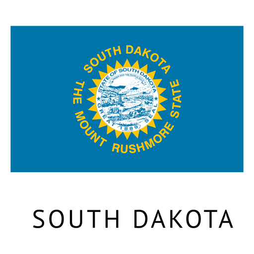
South dakota state flag PNG Design
Choose a folder
All favorites
Create new
Save
South dakota state flag PNG Design
Premium
Rock boulder PNG Design
Choose a folder
All favorites
Create new
Save
Rock boulder PNG Design
Premium
Dollar money stroke icon PNG Design
Choose a folder
All favorites
Create new
Save
Dollar money stroke icon PNG Design
Premium
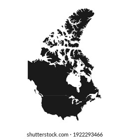
Canada map silhouette PNG Design
Choose a folder
All favorites
Create new
Save
Canada map silhouette PNG Design
Premium
Padlock doodle icon PNG Design
Choose a folder
All favorites
Create new
Save
Padlock doodle icon PNG Design
Boost Your Business
With The Leading Graphic Platform For Merch.
SEE PLANS
Next
of 106
prev page
next page