Design Library
New Merch Designs
T-Shirts
Vectors
Trending Merch Designs
PNGs & SVGs
Mockups
T-Shirt PSD Templates
Explore Designs
KDP Designs
Posters
Mugs
Phone Cases
Tote Bags
Pillows
Design Tools
Merch Designer
New!
Mockup Generator
AI Design Generator
Image Vectorizer
Quote Generator
T-Shirt Maker (Old)
Resources
Merch Digest
Blog
Help Center
Learn About Merch
Feedback
Corporate Solutions
Enterprise
API Access
Design Studio
Bulk Design Production
Pricing
Loading...
Sign Up
Login
All
maps
Design Library
New Merch Designs
T-Shirts
Vectors
Trending Merch Designs
PNGs & SVGs
Mockups
T-Shirt PSD Templates
Explore Designs
KDP Designs
Posters
Mugs
Phone Cases
Tote Bags
Pillows
Design Tools
Merch Designer
New!
Mockup Generator
AI Design Generator
Image Vectorizer
Quote Generator
T-Shirt Maker (Old)
Resources
Merch Digest
Blog
Help Center
Learn About Merch
Feedback
Corporate Solutions
Enterprise
API Access
Design Studio
Bulk Design Production
PLANS
All
maps
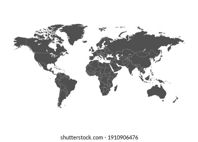
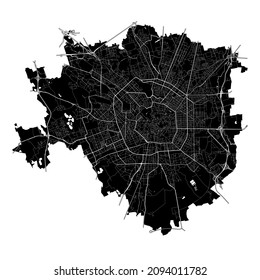
5263 maps Graphics and Designs
Maps Graphics to download
Related:
world maps
,
base maps
,
world livestock maps
Sort by
Most relevant
Sponsored results by
Get 15% off with code: VEXELS15
Show more
Premium
The letter v with red roses and leaves PNG Design
Choose a folder
All favorites
Create new
Save
The letter v with red roses and leaves PNG Design
Oceania flat continents map PNG Design
Choose a folder
All favorites
Create new
Save
Oceania flat continents map PNG Design
Montana state stroke map PNG Design
Choose a folder
All favorites
Create new
Save
Montana state stroke map PNG Design
Magic keys stroke PNG Design
Choose a folder
All favorites
Create new
Save
Magic keys stroke PNG Design
Tarot card justice cut out PNG Design
Choose a folder
All favorites
Create new
Save
Tarot card justice cut out PNG Design
Boat window ocean view PNG Design
Choose a folder
All favorites
Create new
Save
Boat window ocean view PNG Design
Constellation color doodle PNG Design
Choose a folder
All favorites
Create new
Save
Constellation color doodle PNG Design
Head shaped plant pot PNG Design
Choose a folder
All favorites
Create new
Save
Head shaped plant pot PNG Design
Pluto heart simple solar system planet PNG Design
Choose a folder
All favorites
Create new
Save
Pluto heart simple solar system planet PNG Design
Geometric maple leaf flat PNG Design
Choose a folder
All favorites
Create new
Save
Geometric maple leaf flat PNG Design
Globe stroke icon PNG Design
Choose a folder
All favorites
Create new
Save
Globe stroke icon PNG Design
Cute south korean singer character PNG Design
Choose a folder
All favorites
Create new
Save
Cute south korean singer character PNG Design
Premium
Colorful space letter a flat PNG Design
Choose a folder
All favorites
Create new
Save
Colorful space letter a flat PNG Design
Premium
Earth space icon PNG Design
Choose a folder
All favorites
Create new
Save
Earth space icon PNG Design
Premium
Kentucky state flag PNG Design
Choose a folder
All favorites
Create new
Save
Kentucky state flag PNG Design
Premium
Montana state flag PNG Design
Choose a folder
All favorites
Create new
Save
Montana state flag PNG Design
Premium
Multicolor bubbles globe icon PNG Design
Choose a folder
All favorites
Create new
Save
Multicolor bubbles globe icon PNG Design
Premium
Red globe icon PNG Design
Choose a folder
All favorites
Create new
Save
Red globe icon PNG Design
Premium
Western sahara national flag PNG Design
Choose a folder
All favorites
Create new
Save
Western sahara national flag PNG Design
Executive workers world map background
Choose a folder
All favorites
Create new
Save
Executive workers world map background
Black Golden Business Background with Globe
Choose a folder
All favorites
Create new
Save
Black Golden Business Background with Globe
Globe Around
Choose a folder
All favorites
Create new
Save
Globe Around
Premium
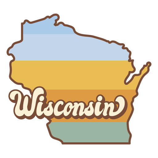
Wisconsin state map sticker PNG Design
Choose a folder
All favorites
Create new
Save
Wisconsin state map sticker PNG Design
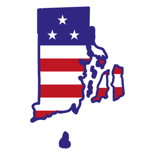
Rhode island color stroke states PNG Design
Choose a folder
All favorites
Create new
Save
Rhode island color stroke states PNG Design
Kentucky color stroke states PNG Design
Choose a folder
All favorites
Create new
Save
Kentucky color stroke states PNG Design
End the stigma stoke PNG Design
Choose a folder
All favorites
Create new
Save
End the stigma stoke PNG Design
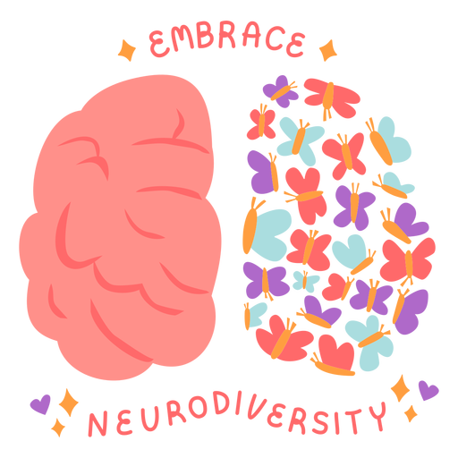
Embrace neurodiversity flat PNG Design
Choose a folder
All favorites
Create new
Save
Embrace neurodiversity flat PNG Design
Cute brain color stroke PNG Design
Choose a folder
All favorites
Create new
Save
Cute brain color stroke PNG Design
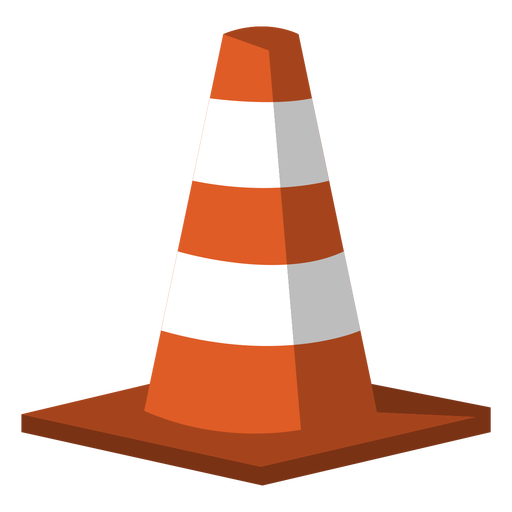
Traffic cone semi flat PNG Design
Choose a folder
All favorites
Create new
Save
Traffic cone semi flat PNG Design
Pot of sugar stroke PNG Design
Choose a folder
All favorites
Create new
Save
Pot of sugar stroke PNG Design
Landmark el salvador dark design PNG Design
Choose a folder
All favorites
Create new
Save
Landmark el salvador dark design PNG Design
Spooky season lettering design PNG Design
Choose a folder
All favorites
Create new
Save
Spooky season lettering design PNG Design
Saturn solar system planet PNG Design
Choose a folder
All favorites
Create new
Save
Saturn solar system planet PNG Design
True north canada lettering PNG Design
Choose a folder
All favorites
Create new
Save
True north canada lettering PNG Design
Winter lettering stay cozy dark PNG Design
Choose a folder
All favorites
Create new
Save
Winter lettering stay cozy dark PNG Design
Colorful telescope stroke PNG Design
Choose a folder
All favorites
Create new
Save
Colorful telescope stroke PNG Design
Premium
Notebook laptop hand illustration PNG Design
Choose a folder
All favorites
Create new
Save
Notebook laptop hand illustration PNG Design
Premium
Geometric stone PNG Design
Choose a folder
All favorites
Create new
Save
Geometric stone PNG Design
Premium
Green leaves stem Plant PNG Design
Choose a folder
All favorites
Create new
Save
Green leaves stem Plant PNG Design
Premium
Mountain climbing hiking PNG Design
Choose a folder
All favorites
Create new
Save
Mountain climbing hiking PNG Design
Green World Ecology Minimal Infographic
Choose a folder
All favorites
Create new
Save
Green World Ecology Minimal Infographic
Black hex bolt screw cut out PNG Design
Choose a folder
All favorites
Create new
Save
Black hex bolt screw cut out PNG Design
Shelf with books flat PNG Design
Choose a folder
All favorites
Create new
Save
Shelf with books flat PNG Design
Hand sickle cut out PNG Design
Choose a folder
All favorites
Create new
Save
Hand sickle cut out PNG Design
Tarot card king of wands stroke PNG Design
Choose a folder
All favorites
Create new
Save
Tarot card king of wands stroke PNG Design
Tarot card queen of wands cut out PNG Design
Choose a folder
All favorites
Create new
Save
Tarot card queen of wands cut out PNG Design
Palmchat monochrome doodle PNG Design
Choose a folder
All favorites
Create new
Save
Palmchat monochrome doodle PNG Design
Premium
Festive bolivian character hand drawing PNG Design
Choose a folder
All favorites
Create new
Save
Festive bolivian character hand drawing PNG Design
Nacho average girl lettering PNG Design
Choose a folder
All favorites
Create new
Save
Nacho average girl lettering PNG Design
Premium
Russia flag language icon PNG Design
Choose a folder
All favorites
Create new
Save
Russia flag language icon PNG Design
Boost Your Business
With The Leading Graphic Platform For Merch.
SEE PLANS
Next
of 106
prev page
next page