Design Library
New Merch Designs
T-Shirts
Vectors
Trending Merch Designs
PNGs & SVGs
Mockups
T-Shirt PSD Templates
Explore Designs
KDP Designs
Posters
Mugs
Phone Cases
Tote Bags
Pillows
Design Tools
Merch Designer
New!
Mockup Generator
AI Design Generator
Image Vectorizer
Quote Generator
T-Shirt Maker (Old)
Resources
Merch Digest
Blog
Help Center
Learn About Merch
Feedback
Corporate Solutions
Enterprise
API Access
Design Studio
Bulk Design Production
Pricing
Loading...
Sign Up
Login
Vectors
united
states
Design Library
New Merch Designs
T-Shirts
Vectors
Trending Merch Designs
PNGs & SVGs
Mockups
T-Shirt PSD Templates
Explore Designs
KDP Designs
Posters
Mugs
Phone Cases
Tote Bags
Pillows
Design Tools
Merch Designer
New!
Mockup Generator
AI Design Generator
Image Vectorizer
Quote Generator
T-Shirt Maker (Old)
Resources
Merch Digest
Blog
Help Center
Learn About Merch
Feedback
Corporate Solutions
Enterprise
API Access
Design Studio
Bulk Design Production
PLANS
Vectors
united
states
916 united states Vectors & Graphics to Download
Download united states editable vector graphics for every design project. In AI, SVG, PNG, JPG and PSD.
Related:
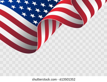
united states flag
,
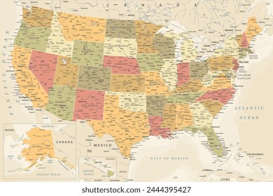
united states map
,
united states of america
Sort by
Most relevant
Sponsored results by
Get 15% off with code: VEXELS15
Show more
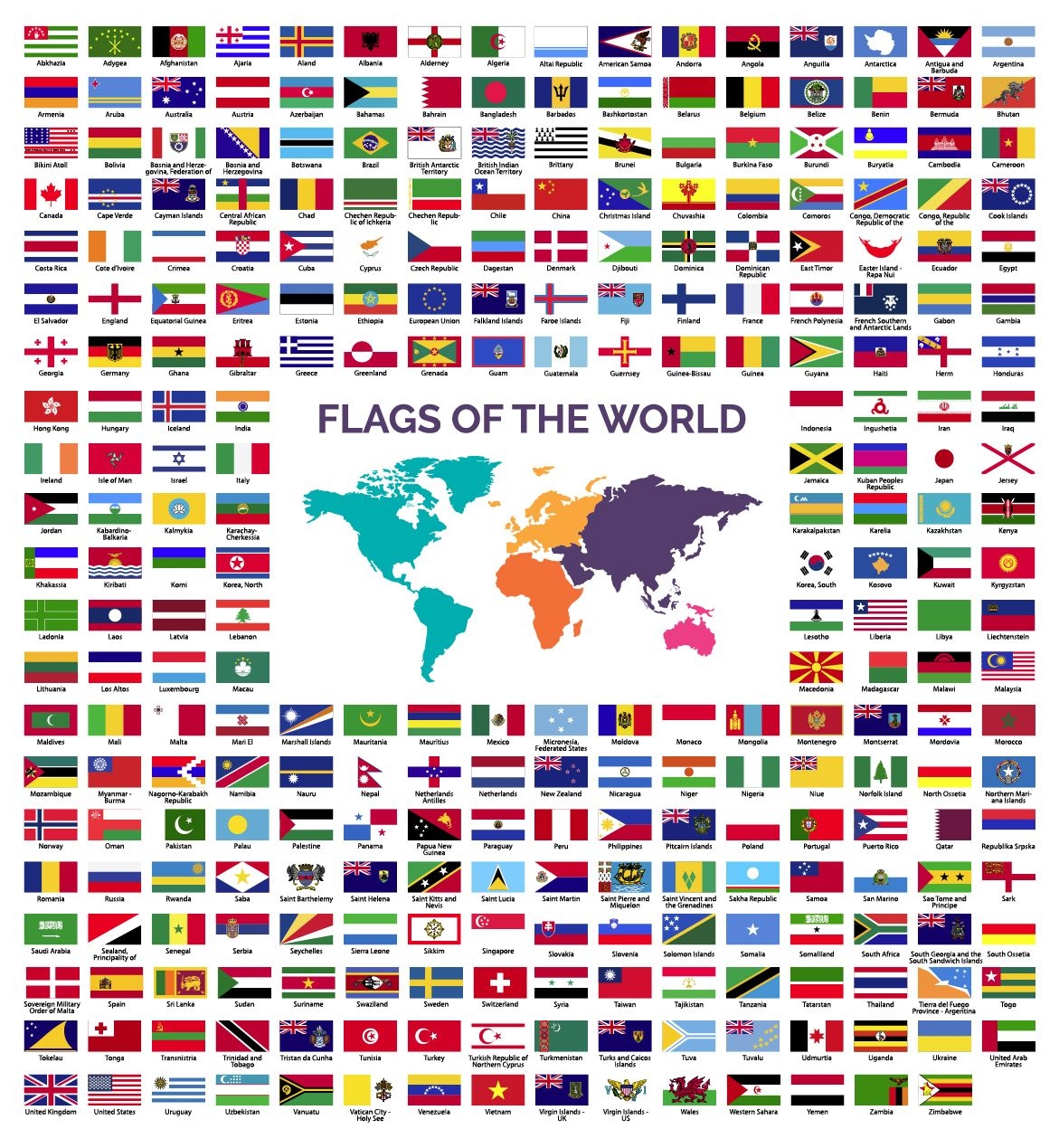
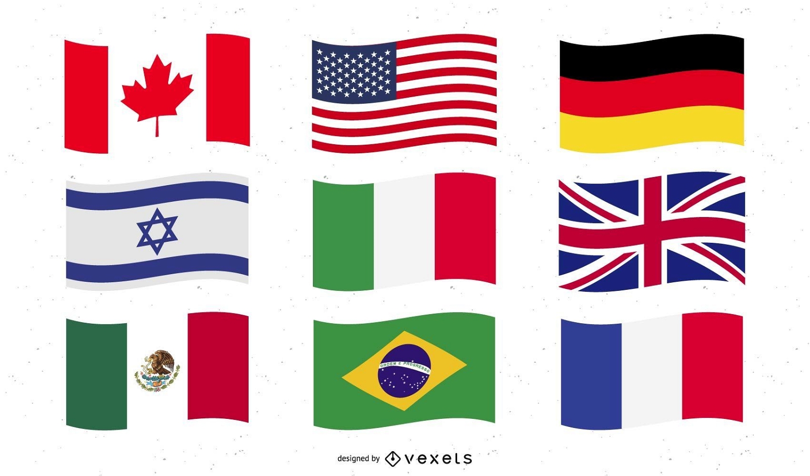
World Flags collection
Choose a folder
All favorites
Create new
Save
World Flags collection
Premium
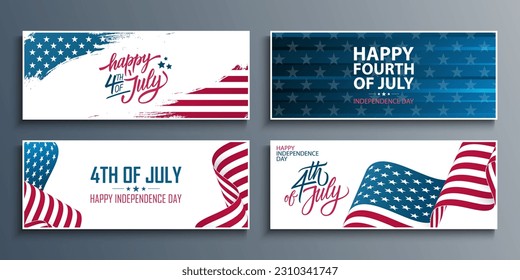
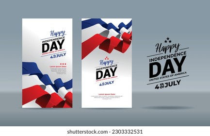
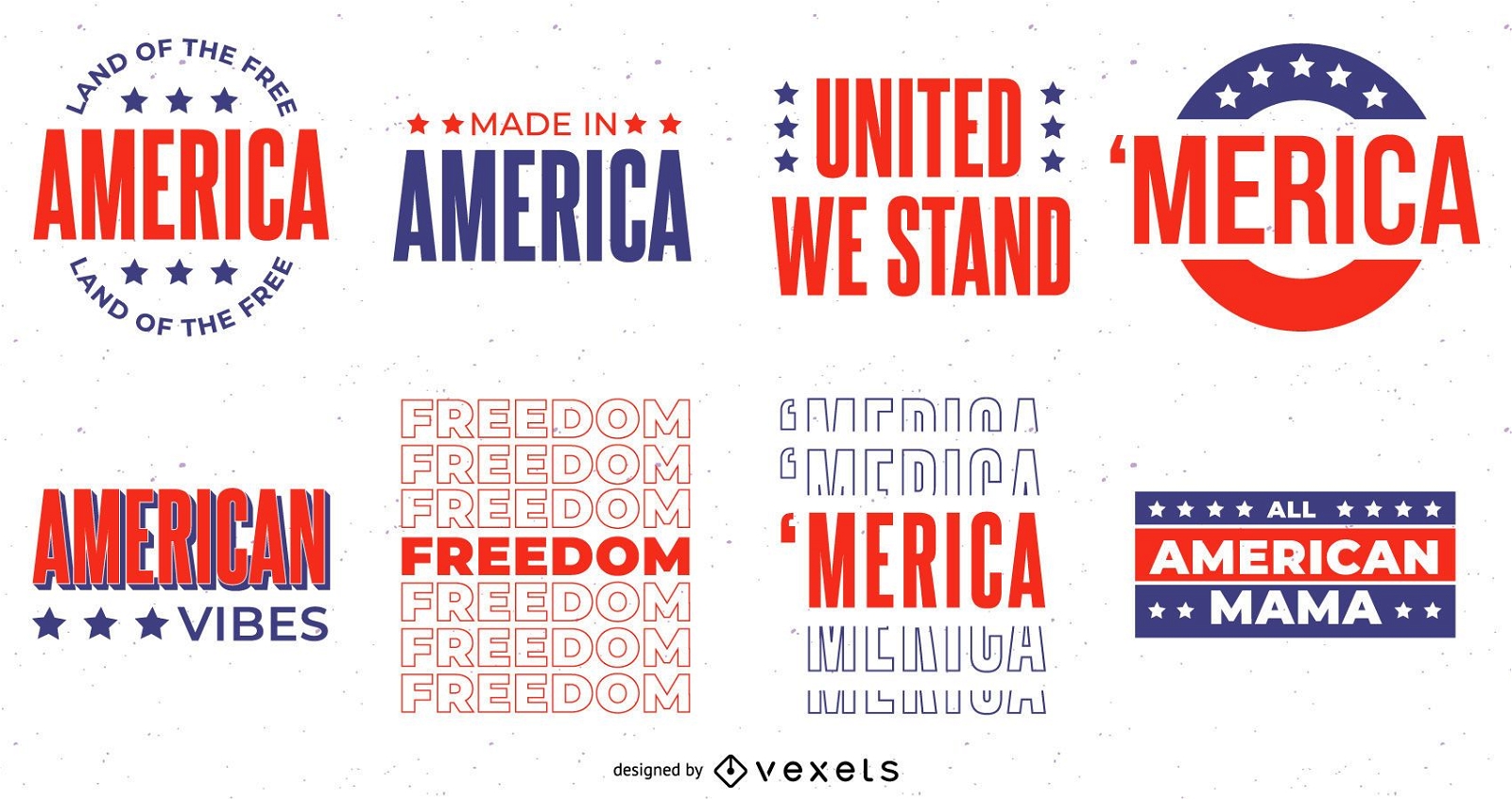
4th of july lettering set
Choose a folder
All favorites
Create new
Save
4th of july lettering set
Premium
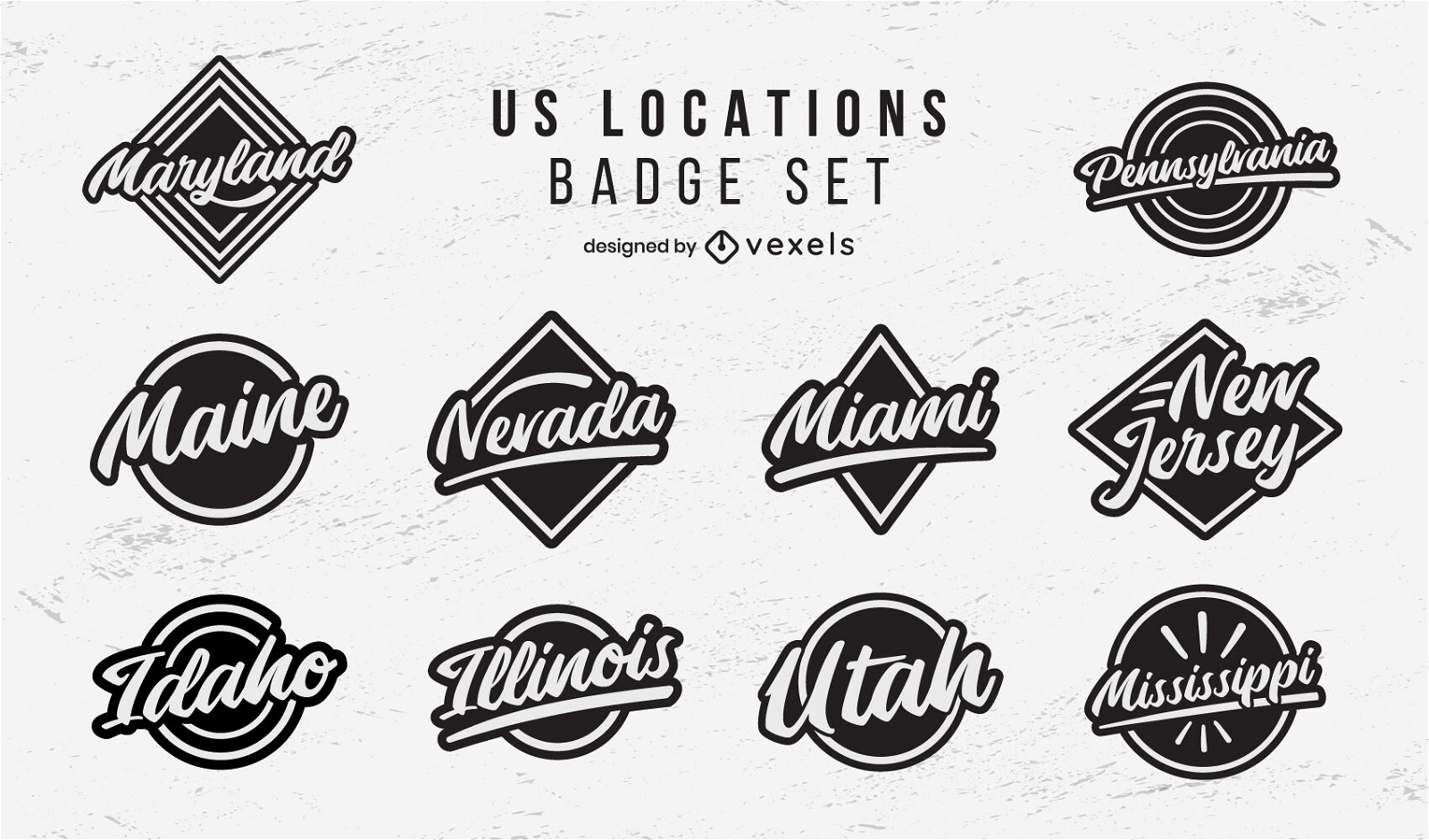
US locations badges lettering set
Choose a folder
All favorites
Create new
Save
US locations badges lettering set
10 Famous USA cities Skylines
Choose a folder
All favorites
Create new
Save
10 Famous USA cities Skylines
Premium
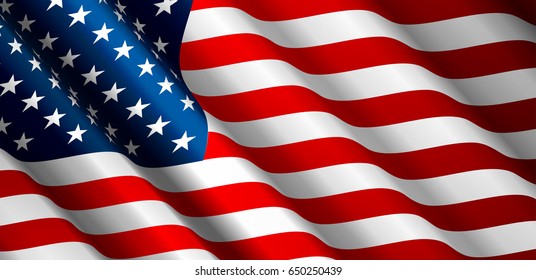
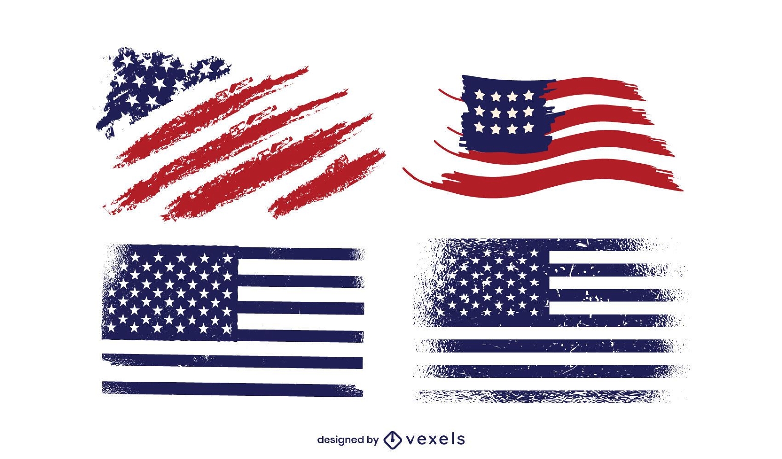
Grunge America Flag Design Pack
Choose a folder
All favorites
Create new
Save
Grunge America Flag Design Pack
Premium
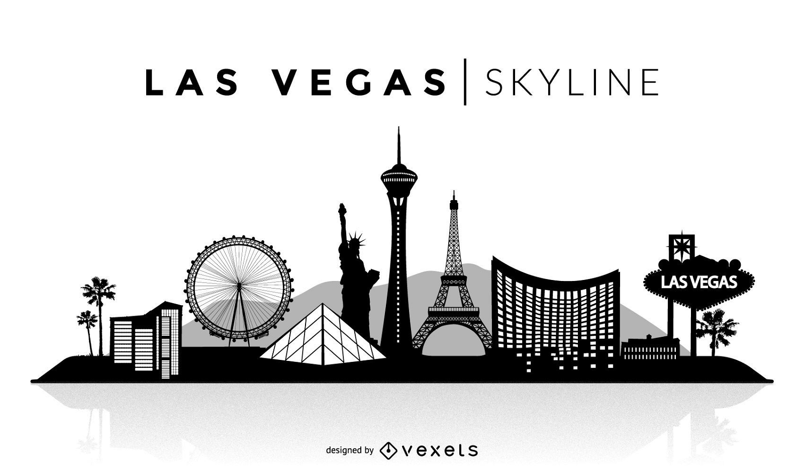
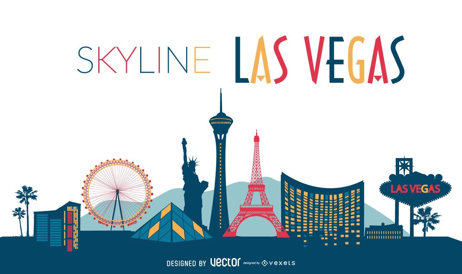
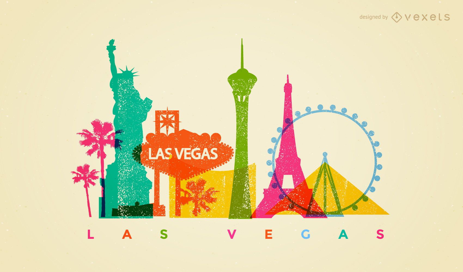
Las Vegas silhouette skyline
Choose a folder
All favorites
Create new
Save
Las Vegas silhouette skyline
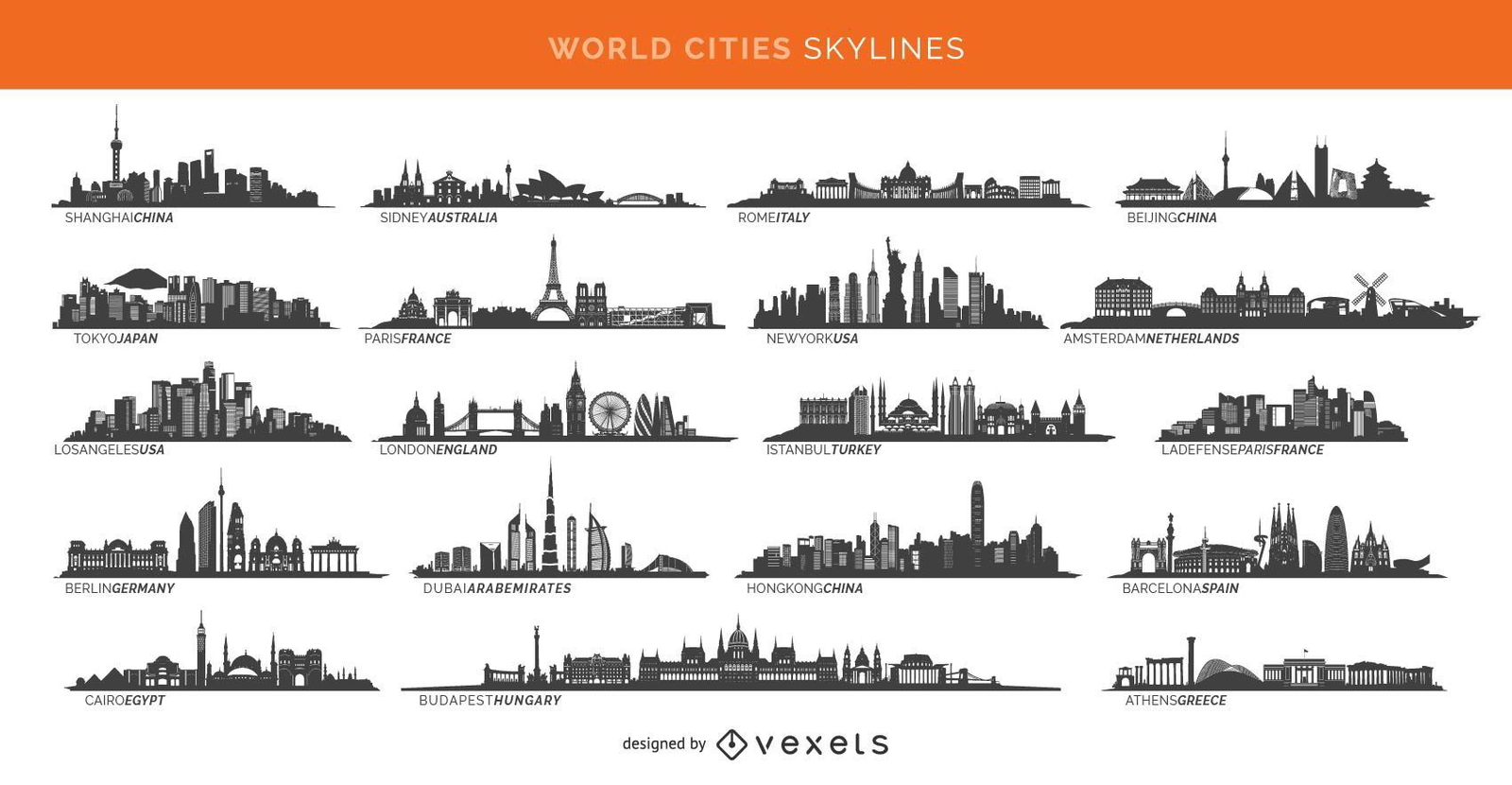
19 famous cities skylines including Paris London Sidney and more
Choose a folder
All favorites
Create new
Save
19 famous cities skylines including Paris London Sidney and more
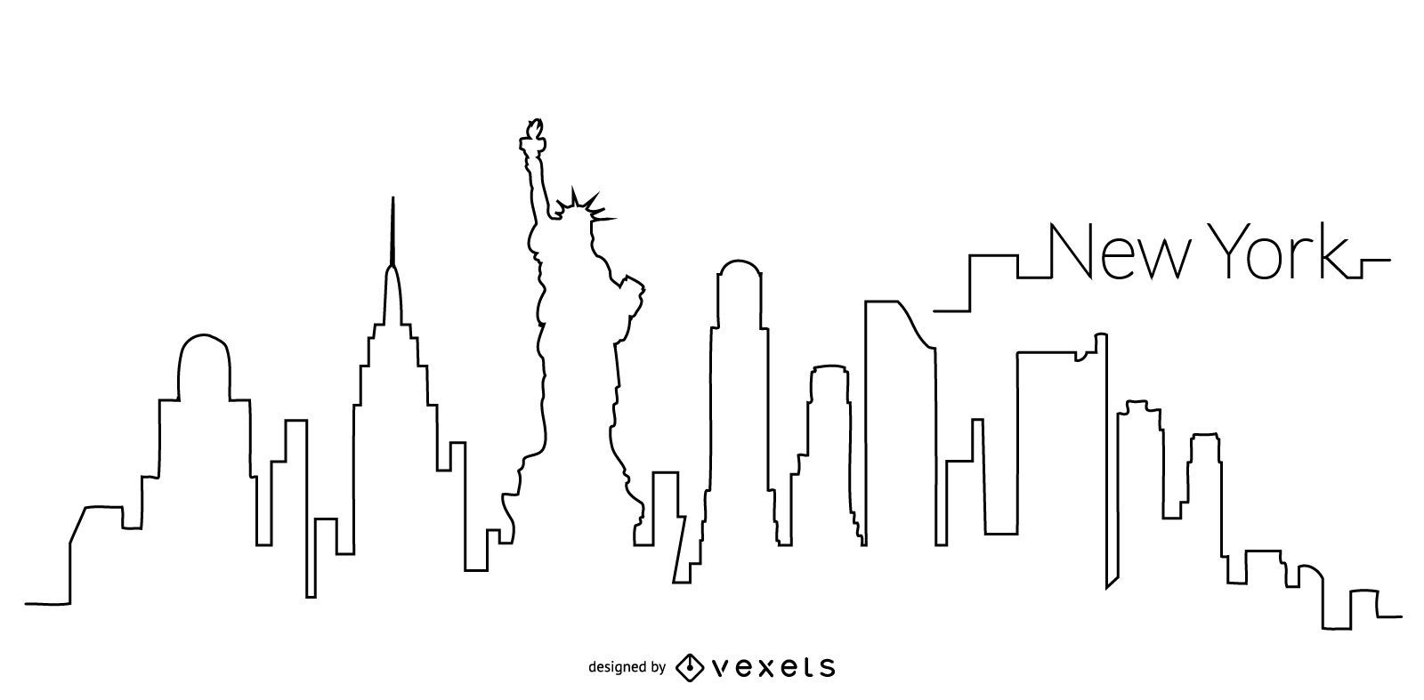
New York skyline outline
Choose a folder
All favorites
Create new
Save
New York skyline outline
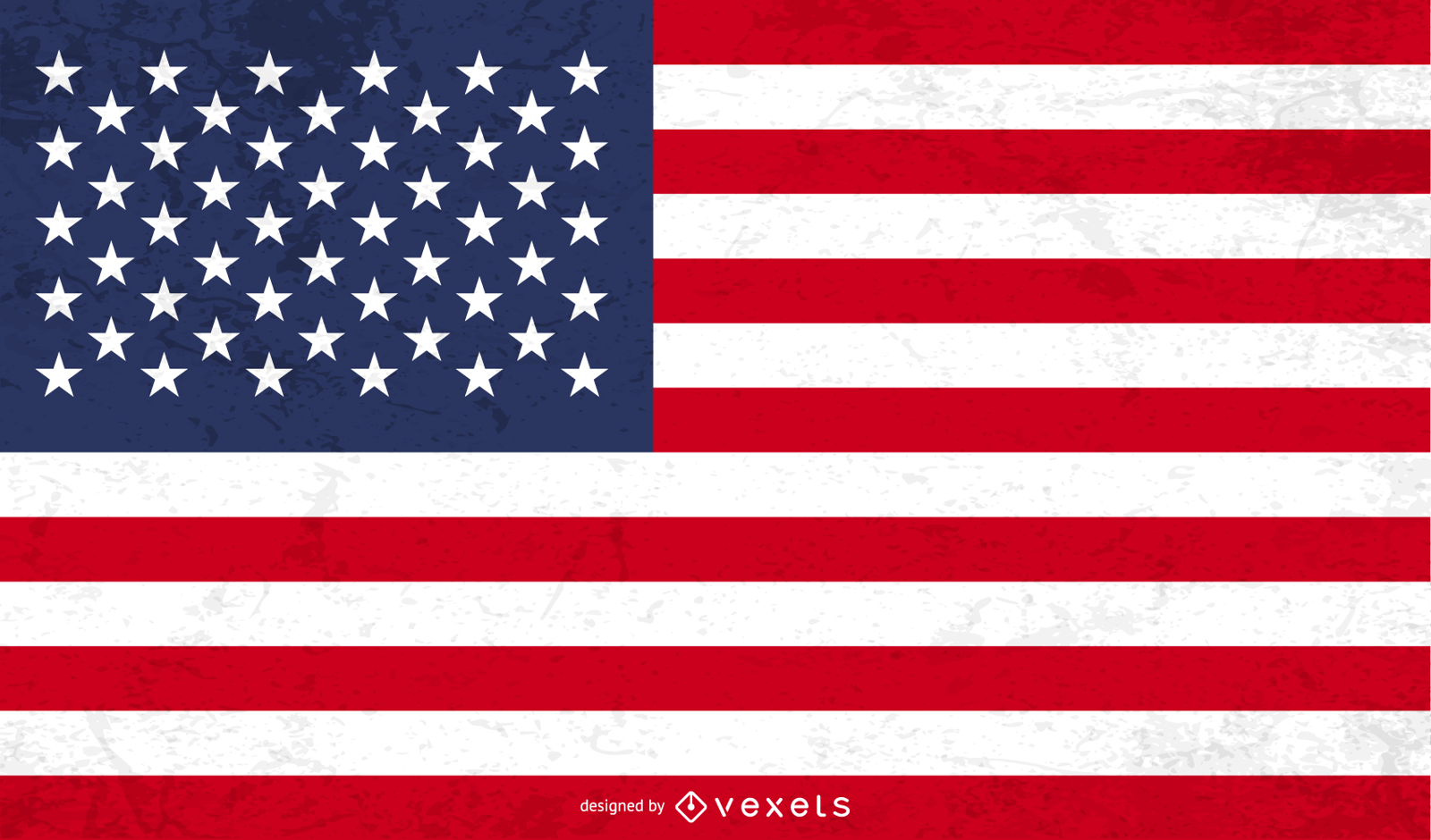
American Grunge Flag Vector
Choose a folder
All favorites
Create new
Save
American Grunge Flag Vector
Premium
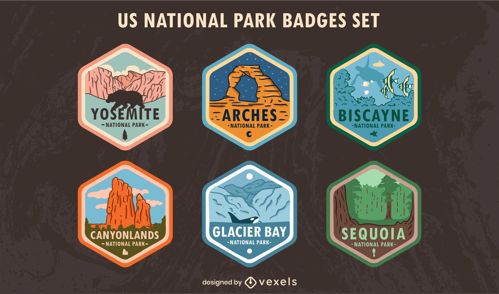
US national park badges set
Choose a folder
All favorites
Create new
Save
US national park badges set
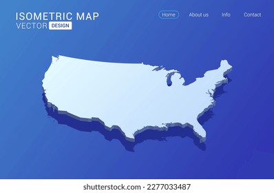
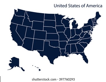
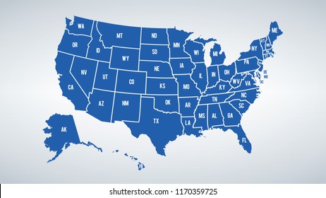
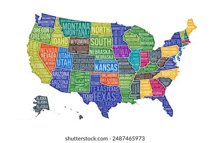
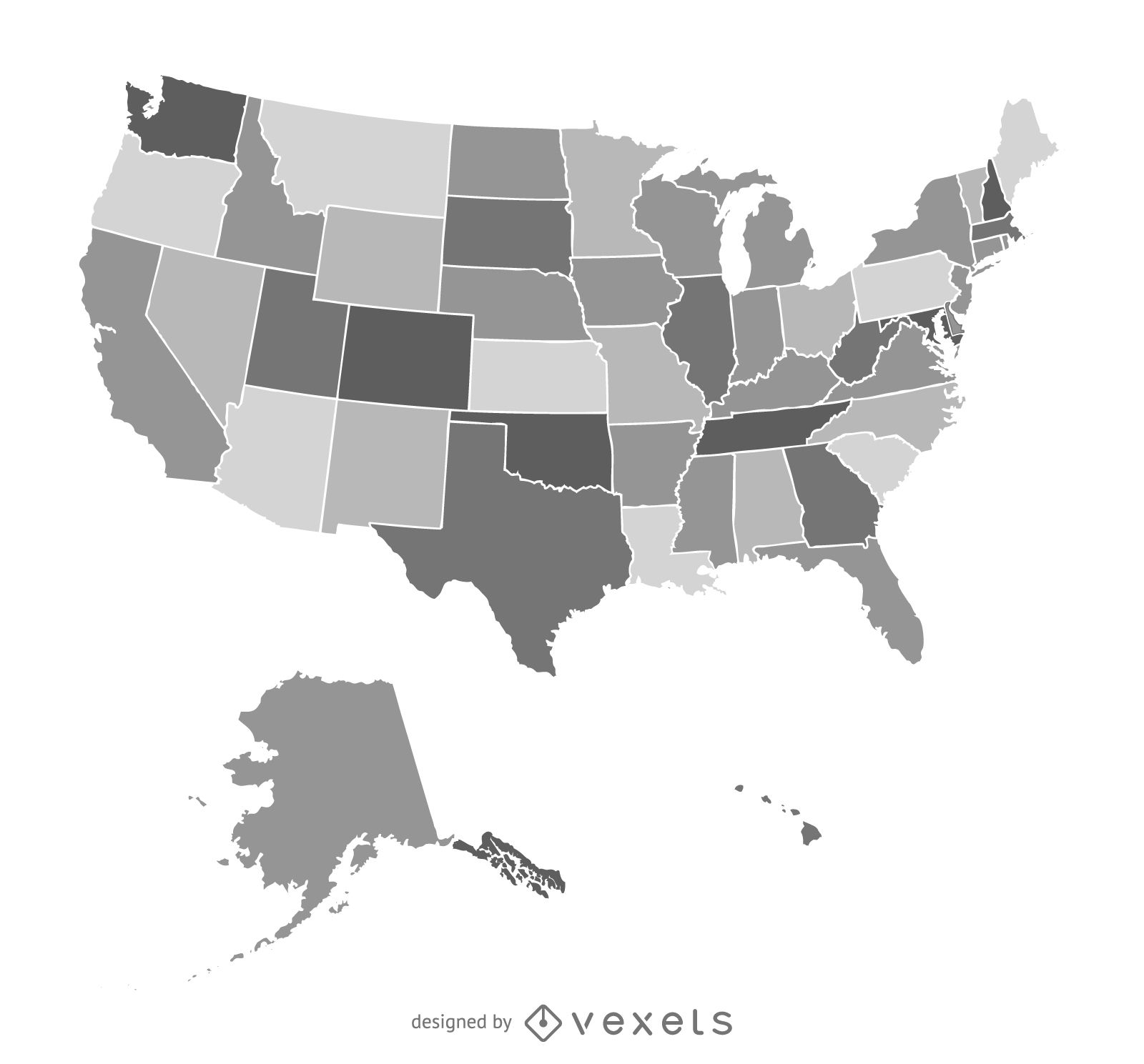
America Map Vector Design
Choose a folder
All favorites
Create new
Save
America Map Vector Design
Premium
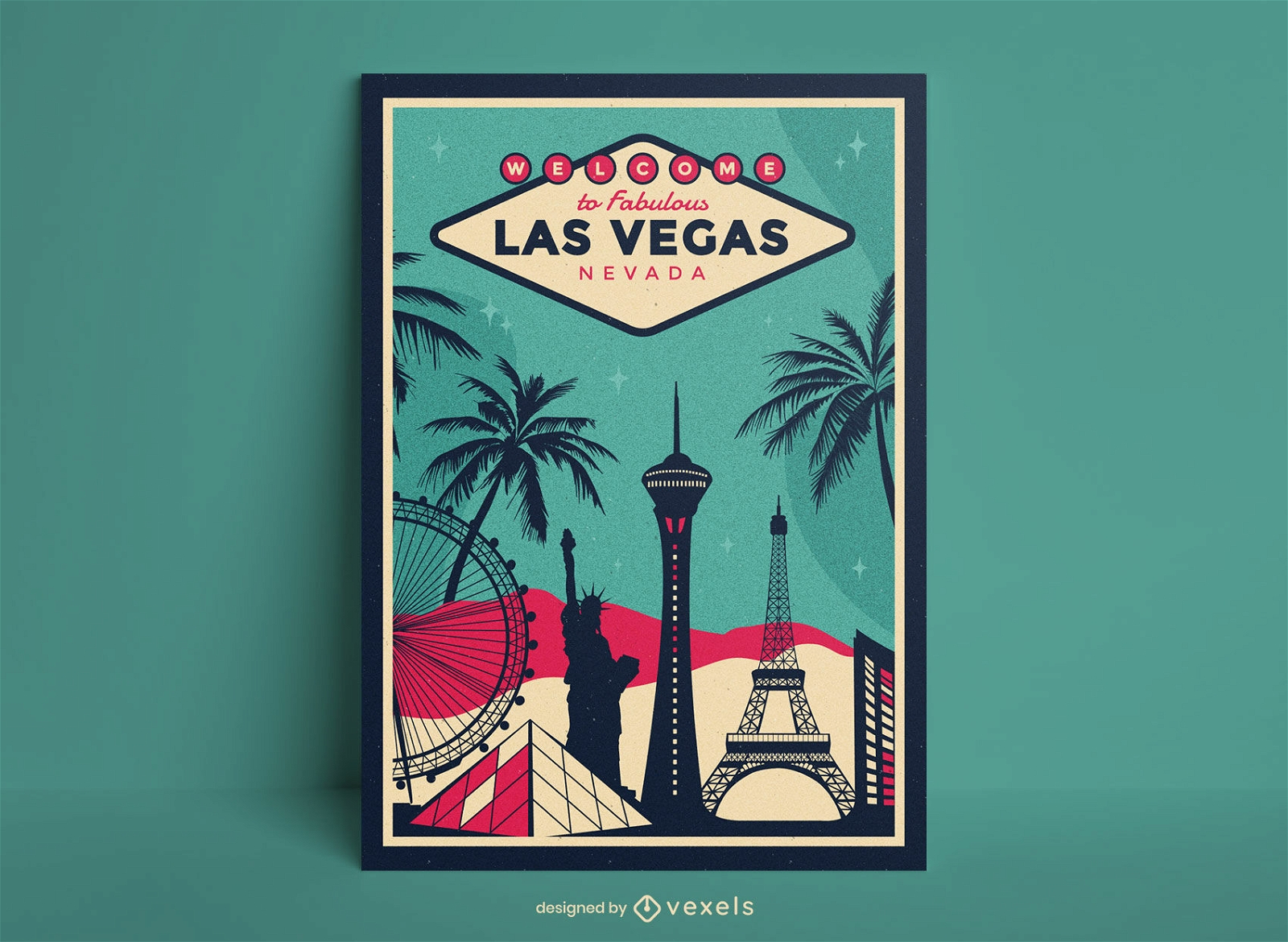
Las vegas city travel poster design
Choose a folder
All favorites
Create new
Save
Las vegas city travel poster design
Premium
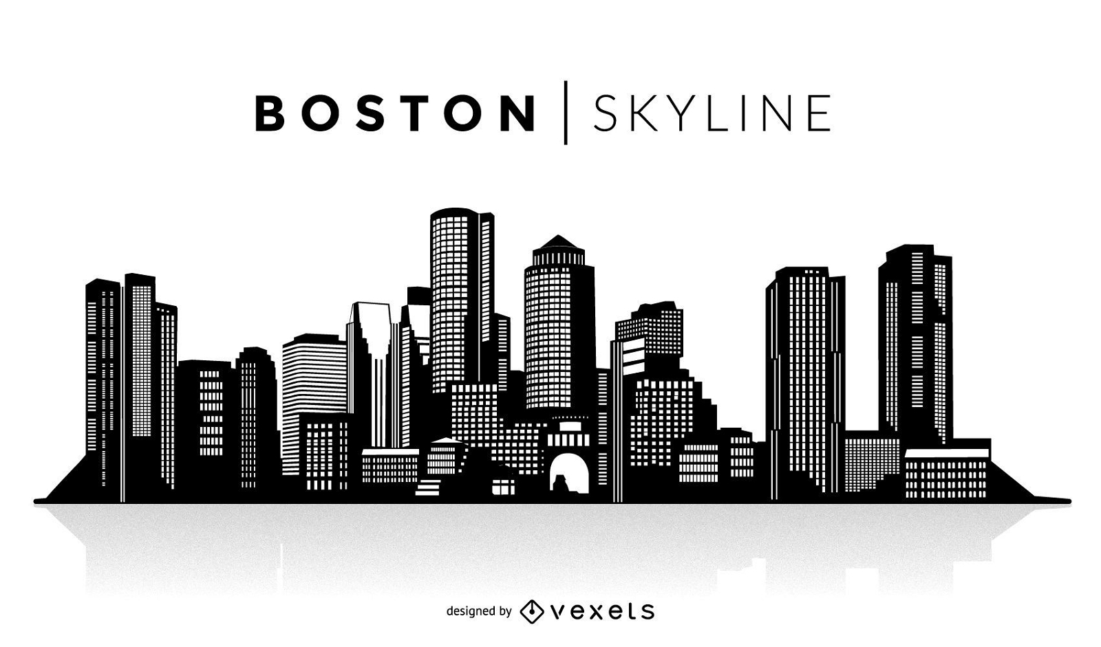
Boston silhouette skyline
Choose a folder
All favorites
Create new
Save
Boston silhouette skyline
Premium
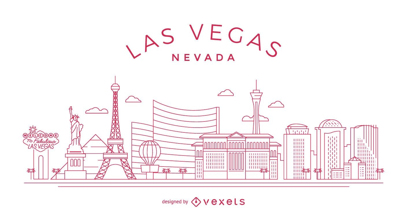
Las Vegas stroke skyline
Choose a folder
All favorites
Create new
Save
Las Vegas stroke skyline
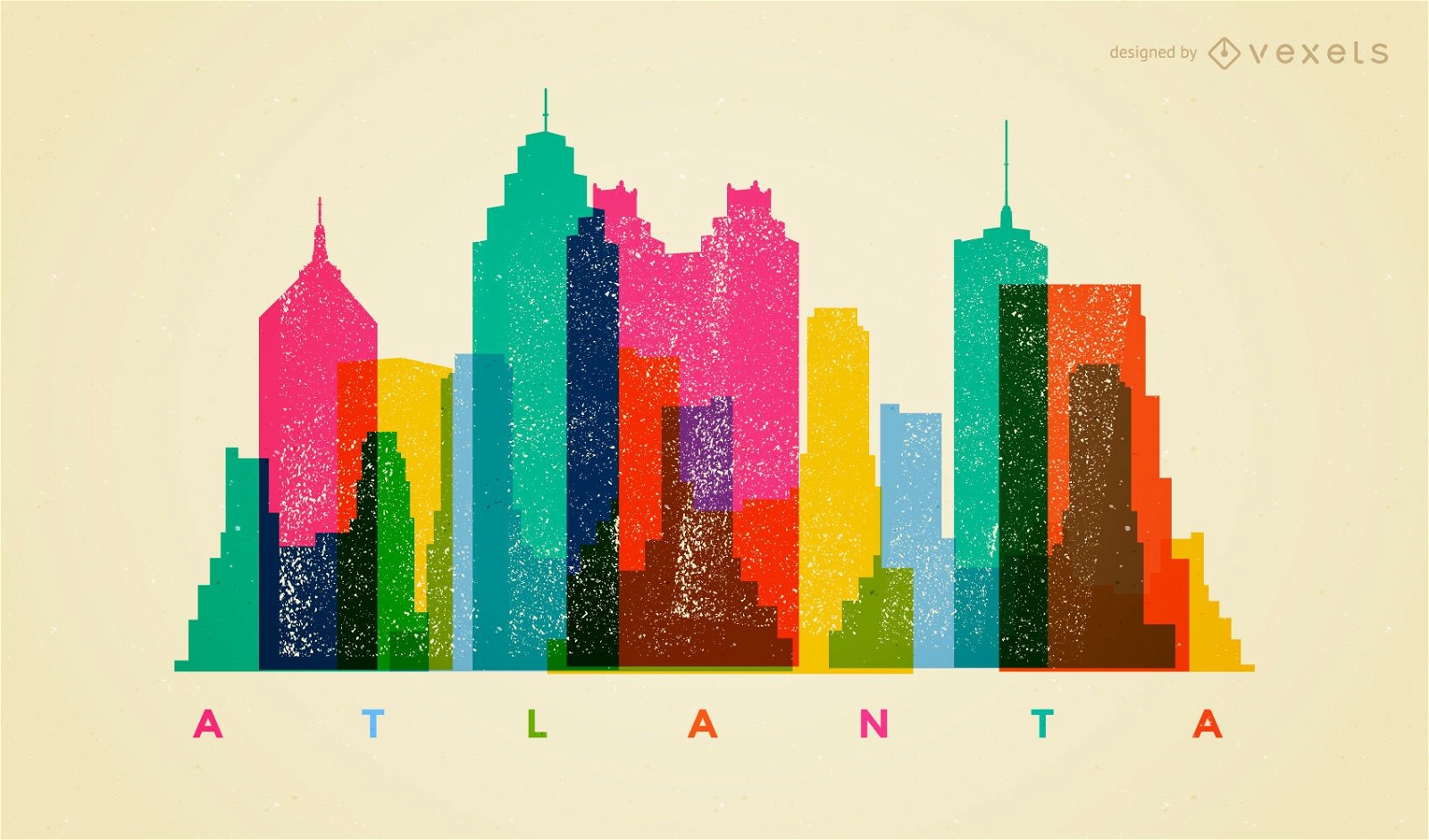
Atlanta silhouette skyline
Choose a folder
All favorites
Create new
Save
Atlanta silhouette skyline
Premium
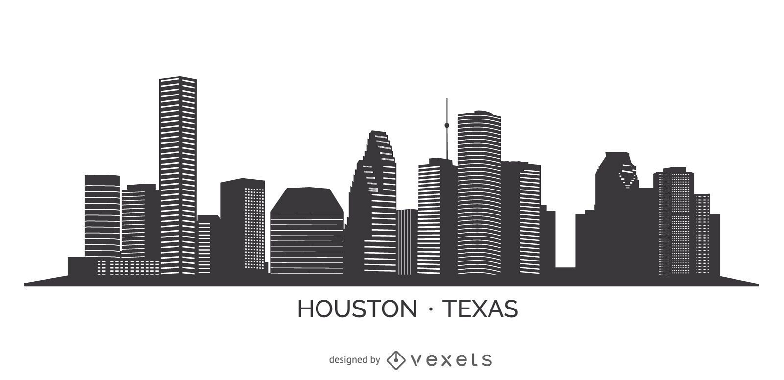
Houston silhouette skyline
Choose a folder
All favorites
Create new
Save
Houston silhouette skyline
Premium
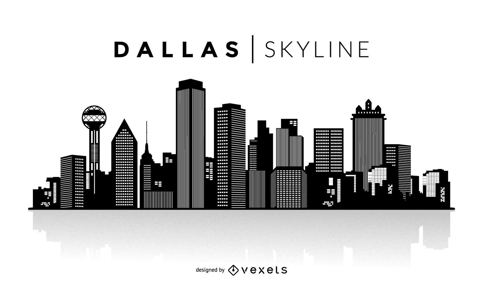
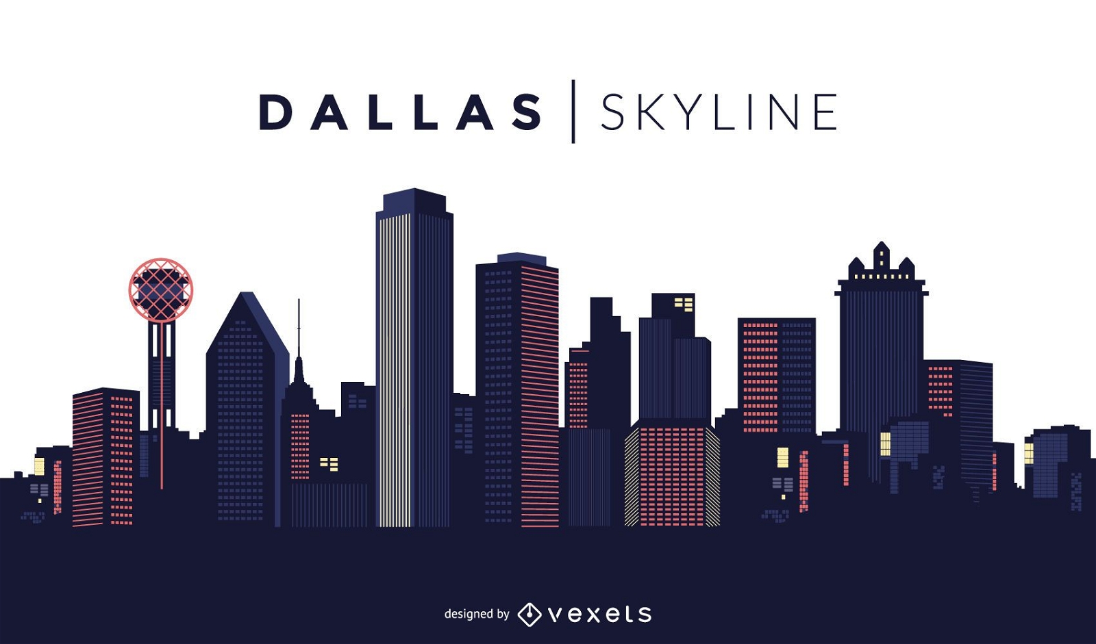
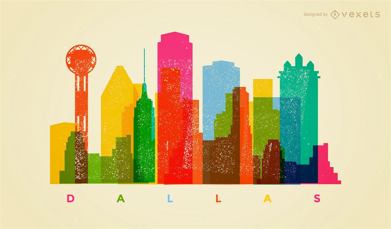
Dallas silhouette skyline
Choose a folder
All favorites
Create new
Save
Dallas silhouette skyline
Hollywood landscape with the classic sign
Choose a folder
All favorites
Create new
Save
Hollywood landscape with the classic sign
World National Flag Vectors
Choose a folder
All favorites
Create new
Save
World National Flag Vectors
Hollywood star illustration
Choose a folder
All favorites
Create new
Save
Hollywood star illustration
Premium
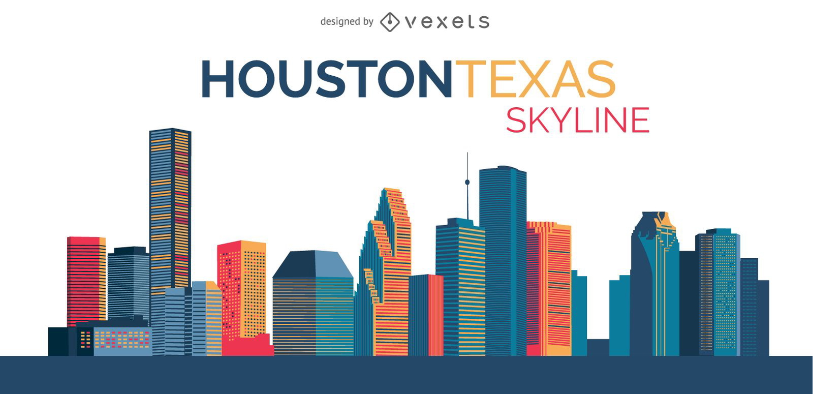
Skyline Houston Illustration
Choose a folder
All favorites
Create new
Save
Skyline Houston Illustration
Premium
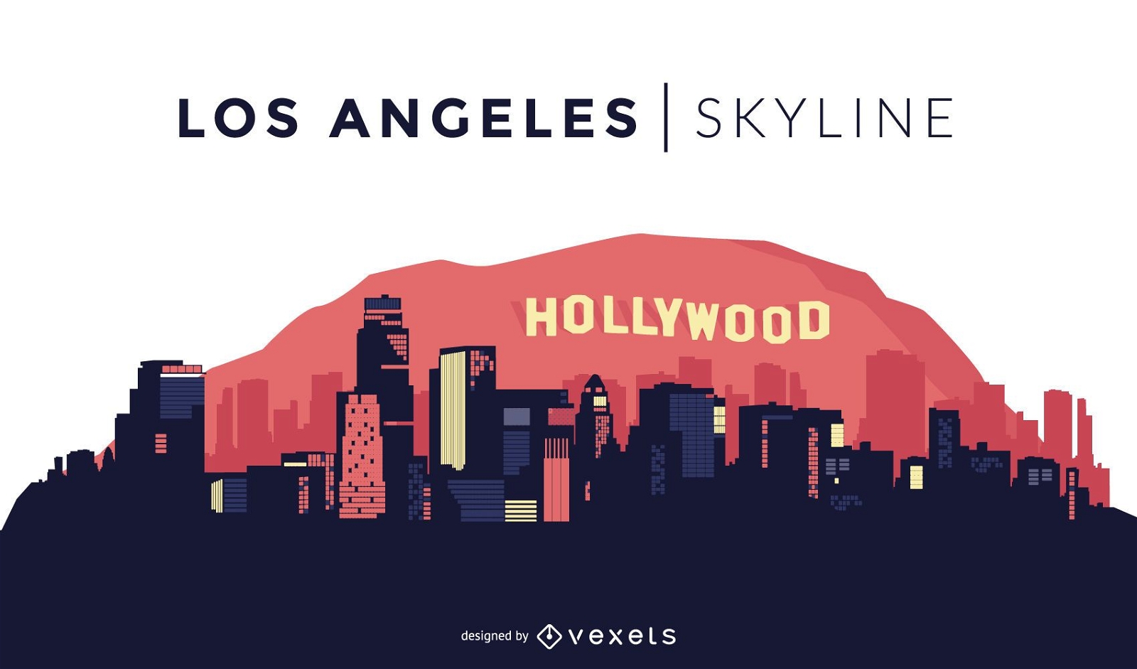
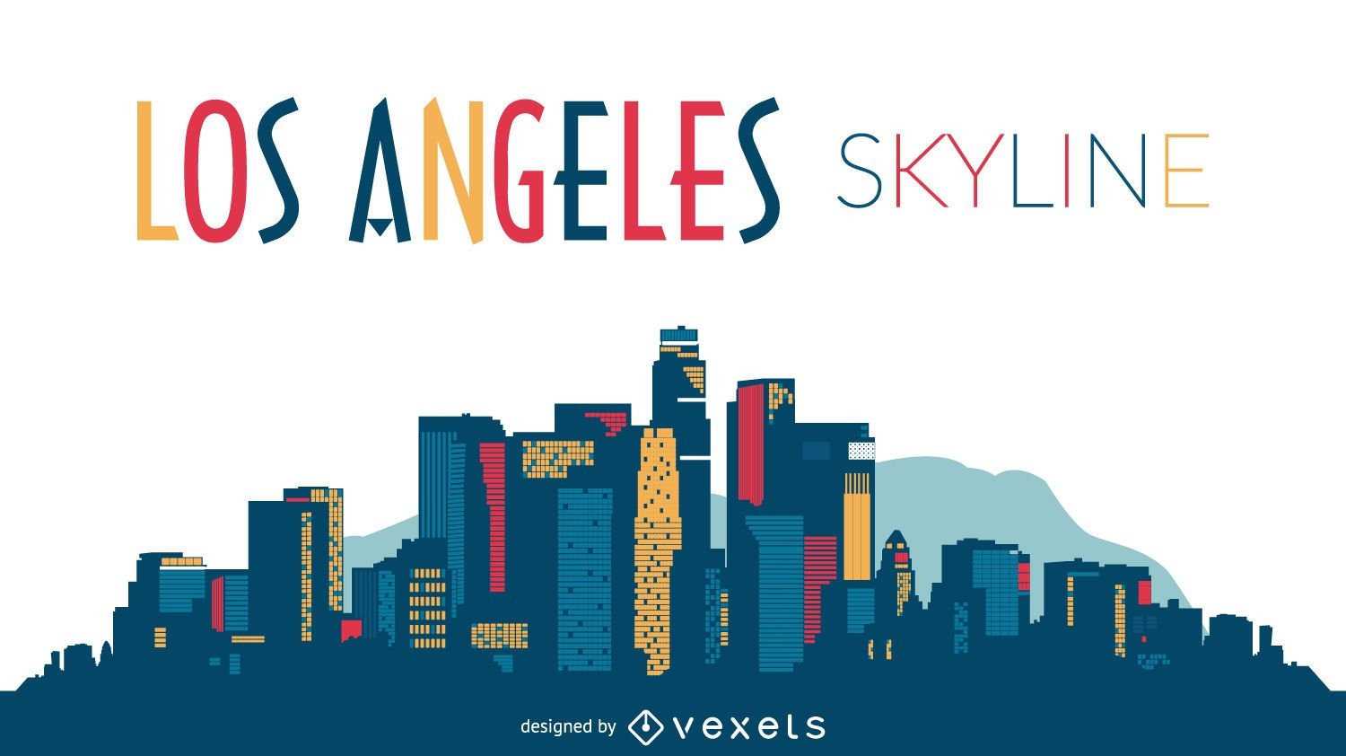
Los Angeles skyline design
Choose a folder
All favorites
Create new
Save
Los Angeles skyline design
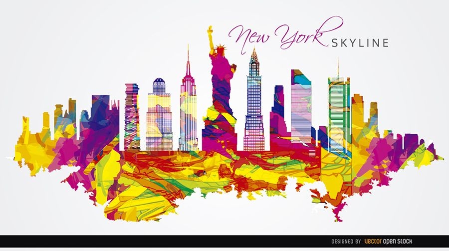
New York City colorful painted
Choose a folder
All favorites
Create new
Save
New York City colorful painted
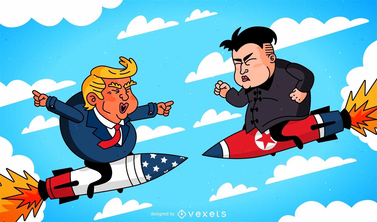
Donald Trump and Kim Jong-un cartoon on missiles against each other
Choose a folder
All favorites
Create new
Save
Donald Trump and Kim Jong-un cartoon on missiles against each other
Las Vegas illustrated skyline
Choose a folder
All favorites
Create new
Save
Las Vegas illustrated skyline
Premium
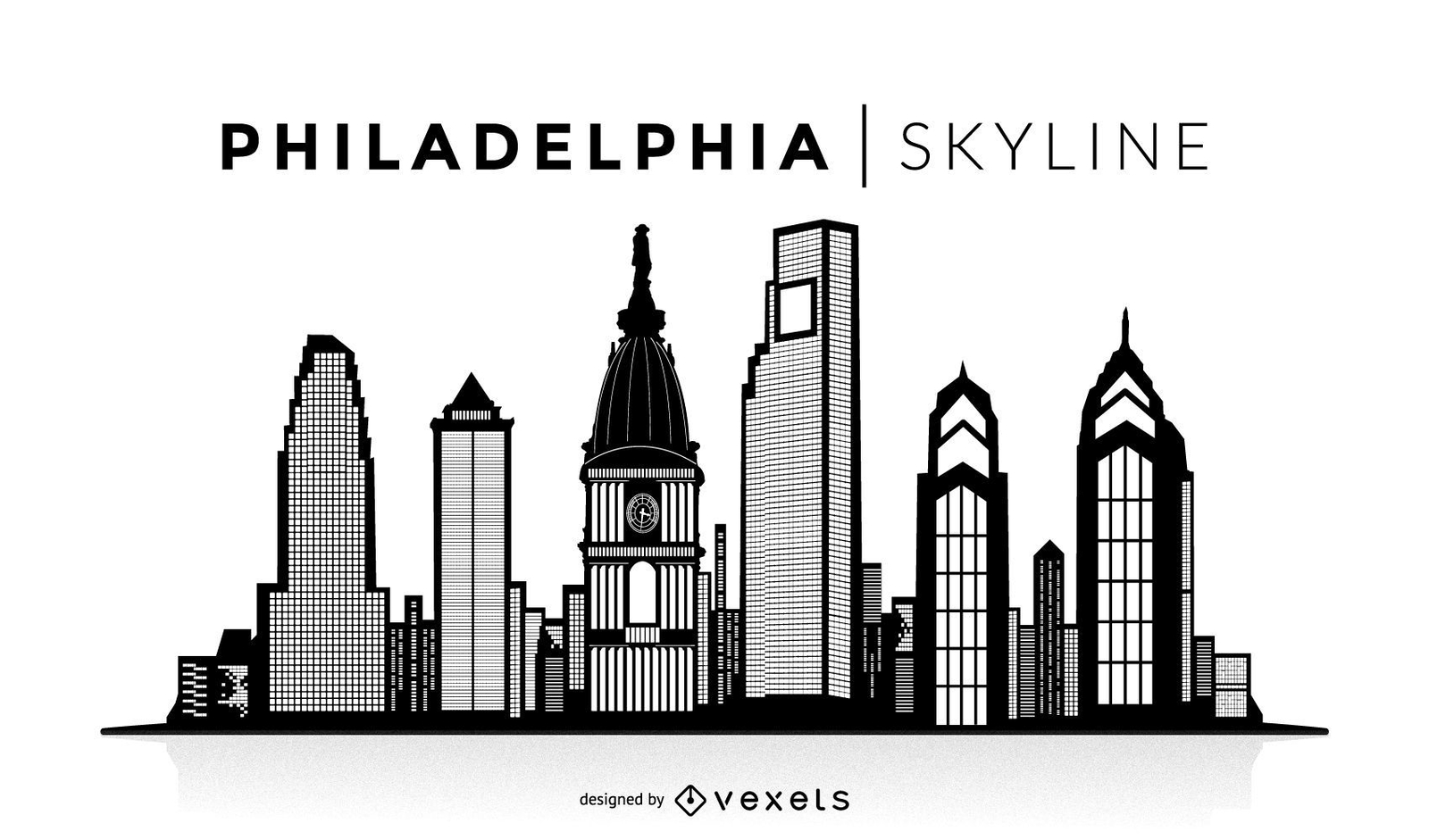
Philadelphia silhouette skyline
Choose a folder
All favorites
Create new
Save
Philadelphia silhouette skyline
Premium
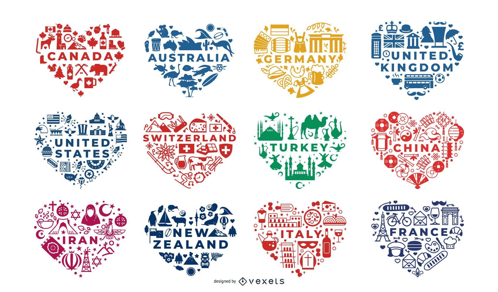
Countries heart compositions set
Choose a folder
All favorites
Create new
Save
Countries heart compositions set
Premium
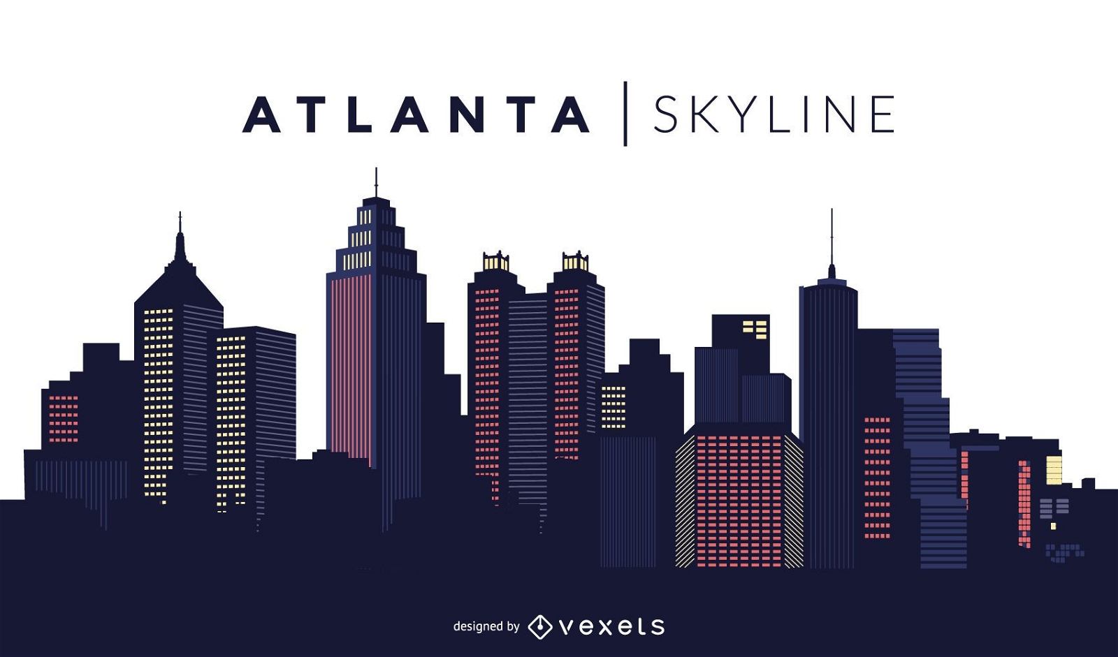
Atlanta skyline design
Choose a folder
All favorites
Create new
Save
Atlanta skyline design
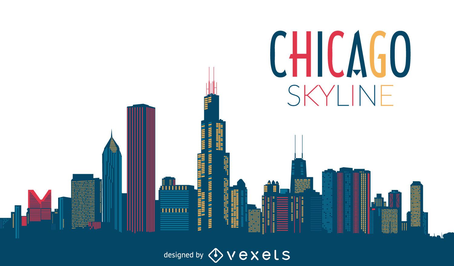
Chicago Colorful Skyline
Choose a folder
All favorites
Create new
Save
Chicago Colorful Skyline
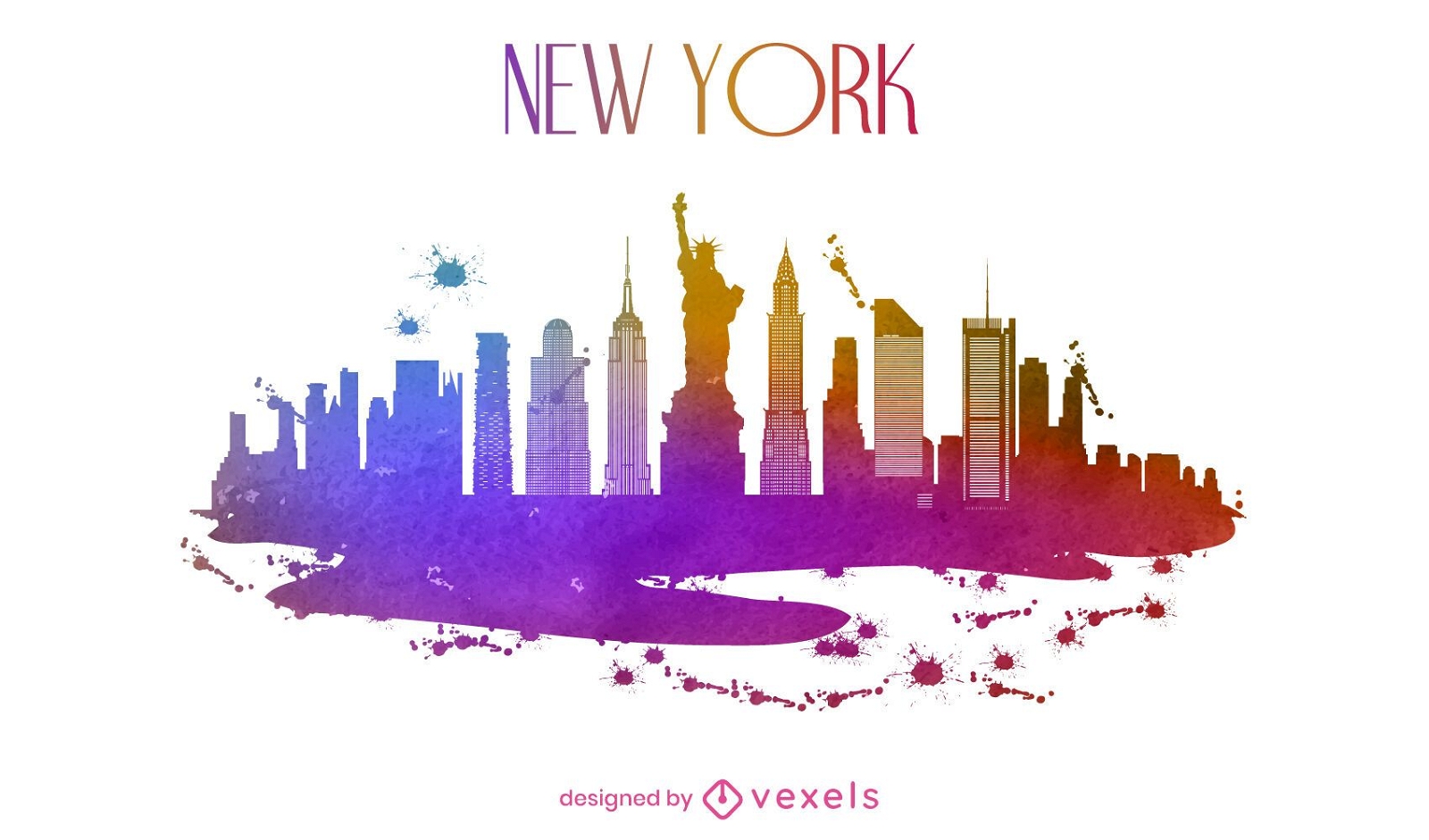
New York watercolor skyline
Choose a folder
All favorites
Create new
Save
New York watercolor skyline
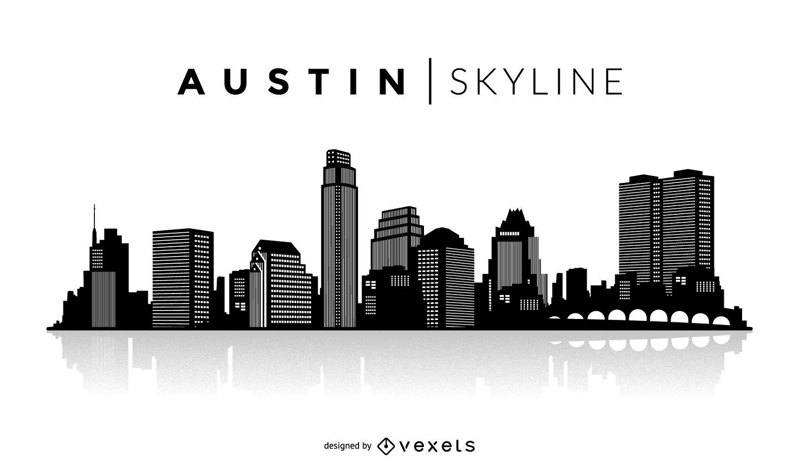
Austin silhouette skyline
Choose a folder
All favorites
Create new
Save
Austin silhouette skyline
New York neon skyline
Choose a folder
All favorites
Create new
Save
New York neon skyline
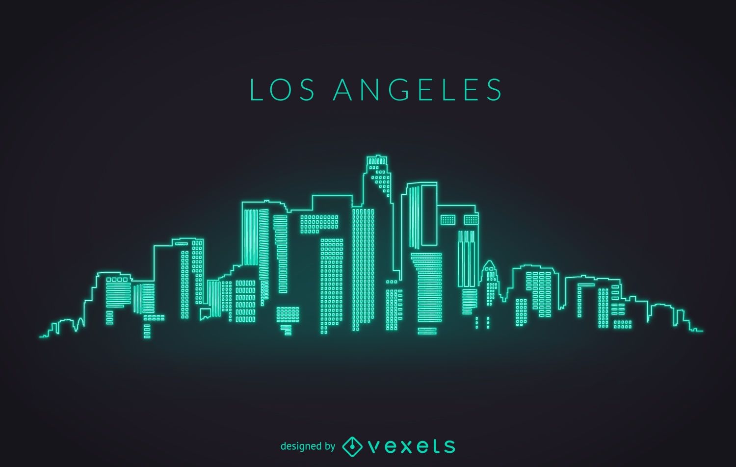
Los Angeles neon skyline
Choose a folder
All favorites
Create new
Save
Los Angeles neon skyline
Premium
Dallas skyline design
Choose a folder
All favorites
Create new
Save
Dallas skyline design
Premium
Las Vegas colorful skyline design
Choose a folder
All favorites
Create new
Save
Las Vegas colorful skyline design
Premium
Colorful Atlanta skyline
Choose a folder
All favorites
Create new
Save
Colorful Atlanta skyline
Premium
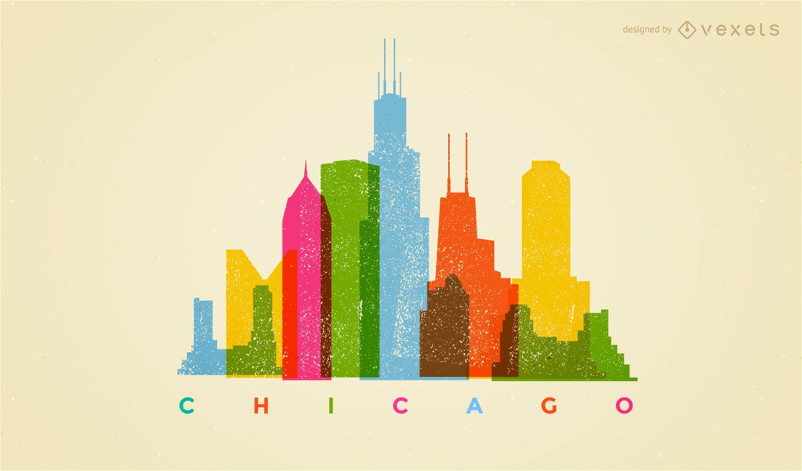
Colorful Chicago skyline
Choose a folder
All favorites
Create new
Save
Colorful Chicago skyline
Premium
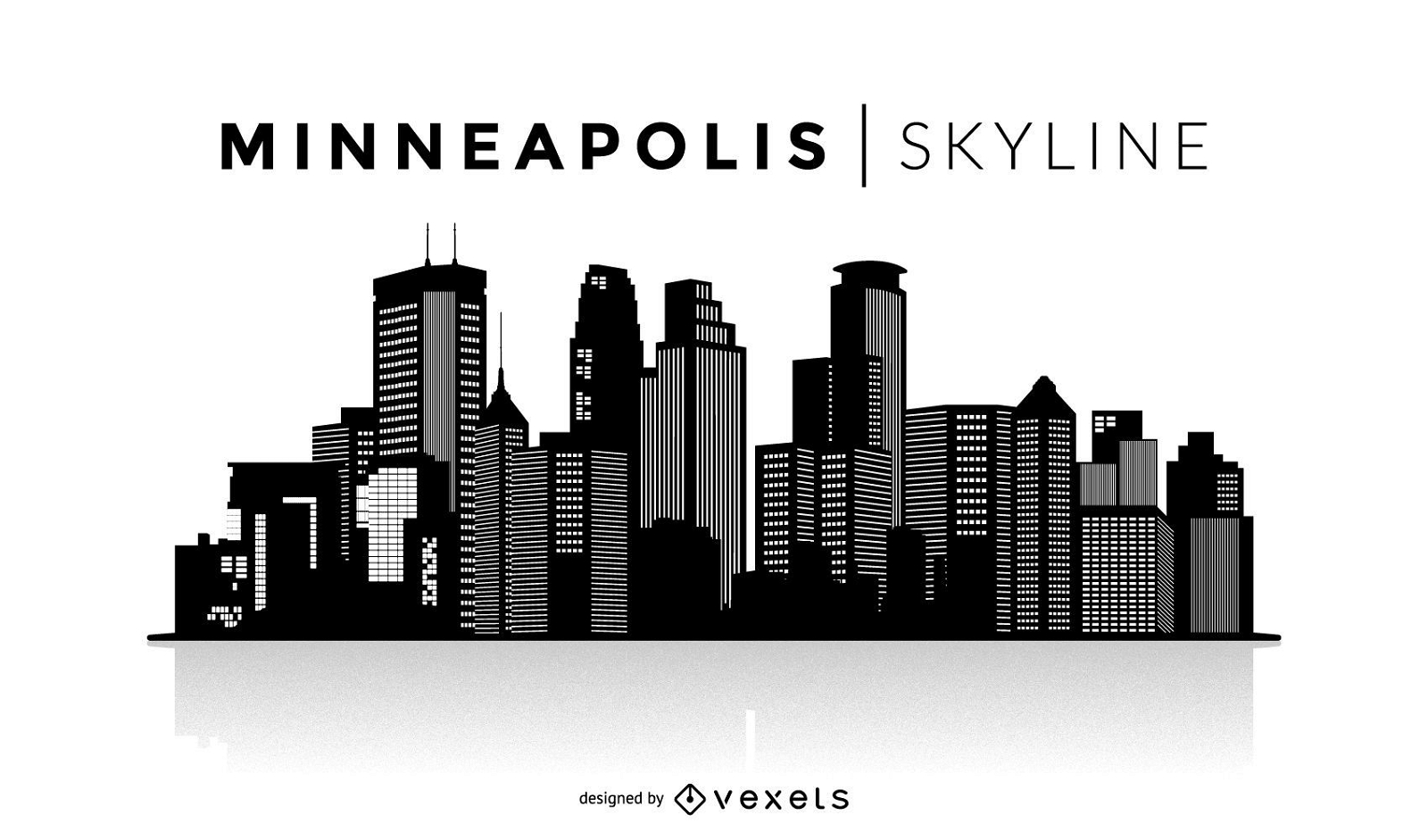
Minneapolis silhouette skyline
Choose a folder
All favorites
Create new
Save
Minneapolis silhouette skyline
Premium
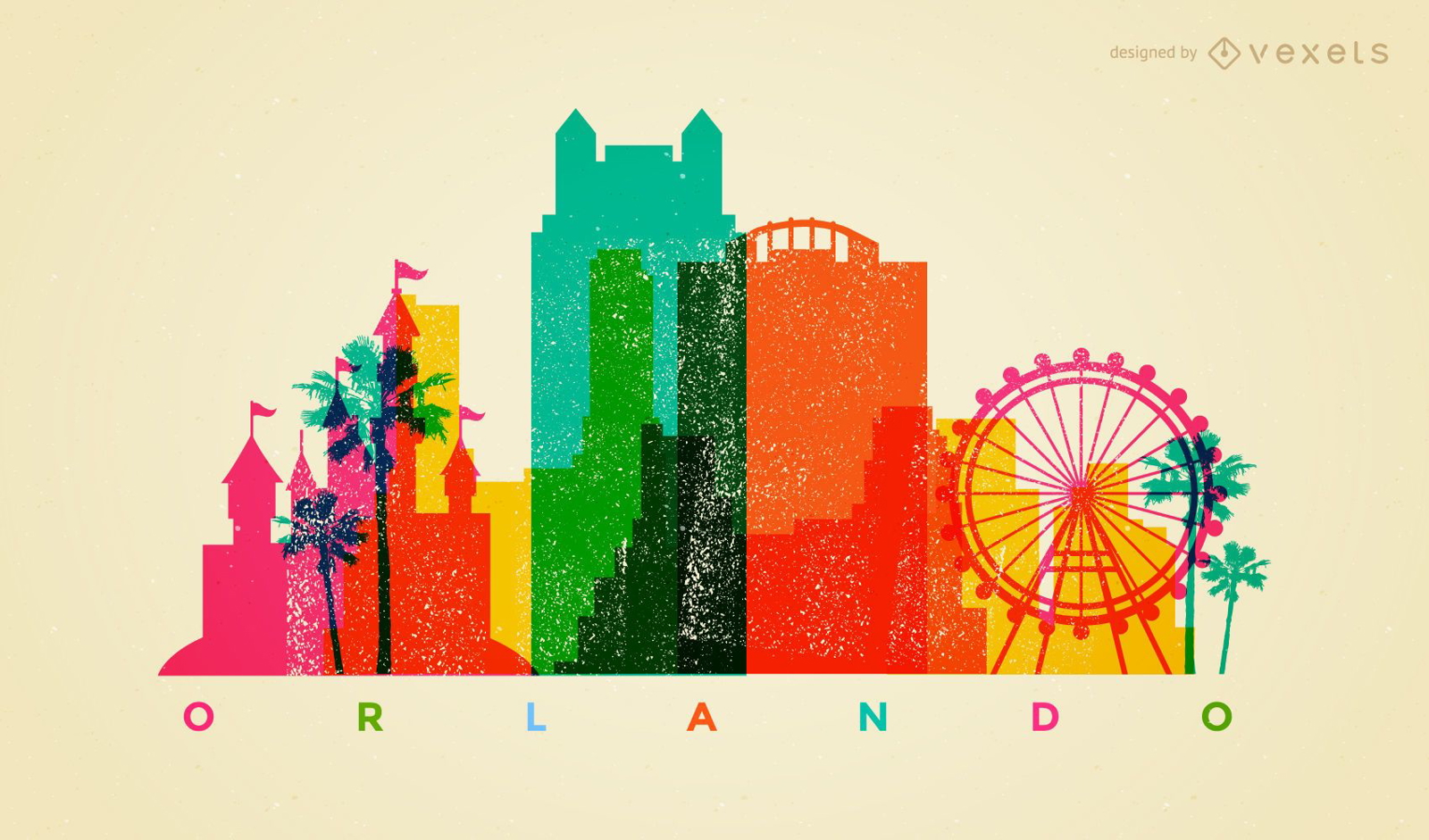
Colorful Orlando skyline
Choose a folder
All favorites
Create new
Save
Colorful Orlando skyline
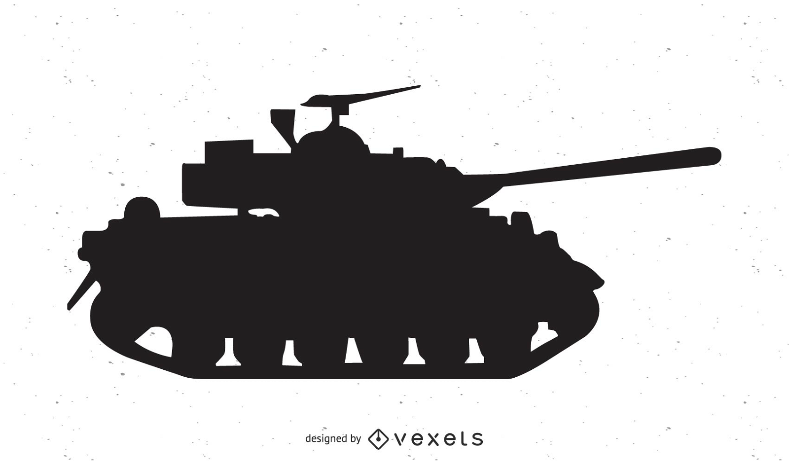
Abrams tank vector
Choose a folder
All favorites
Create new
Save
Abrams tank vector
Premium
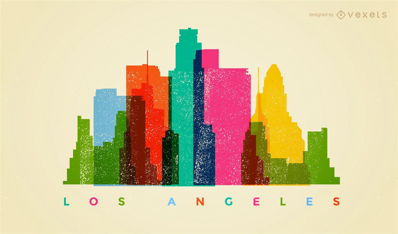
Los Angeles colorful skyline
Choose a folder
All favorites
Create new
Save
Los Angeles colorful skyline
Premium
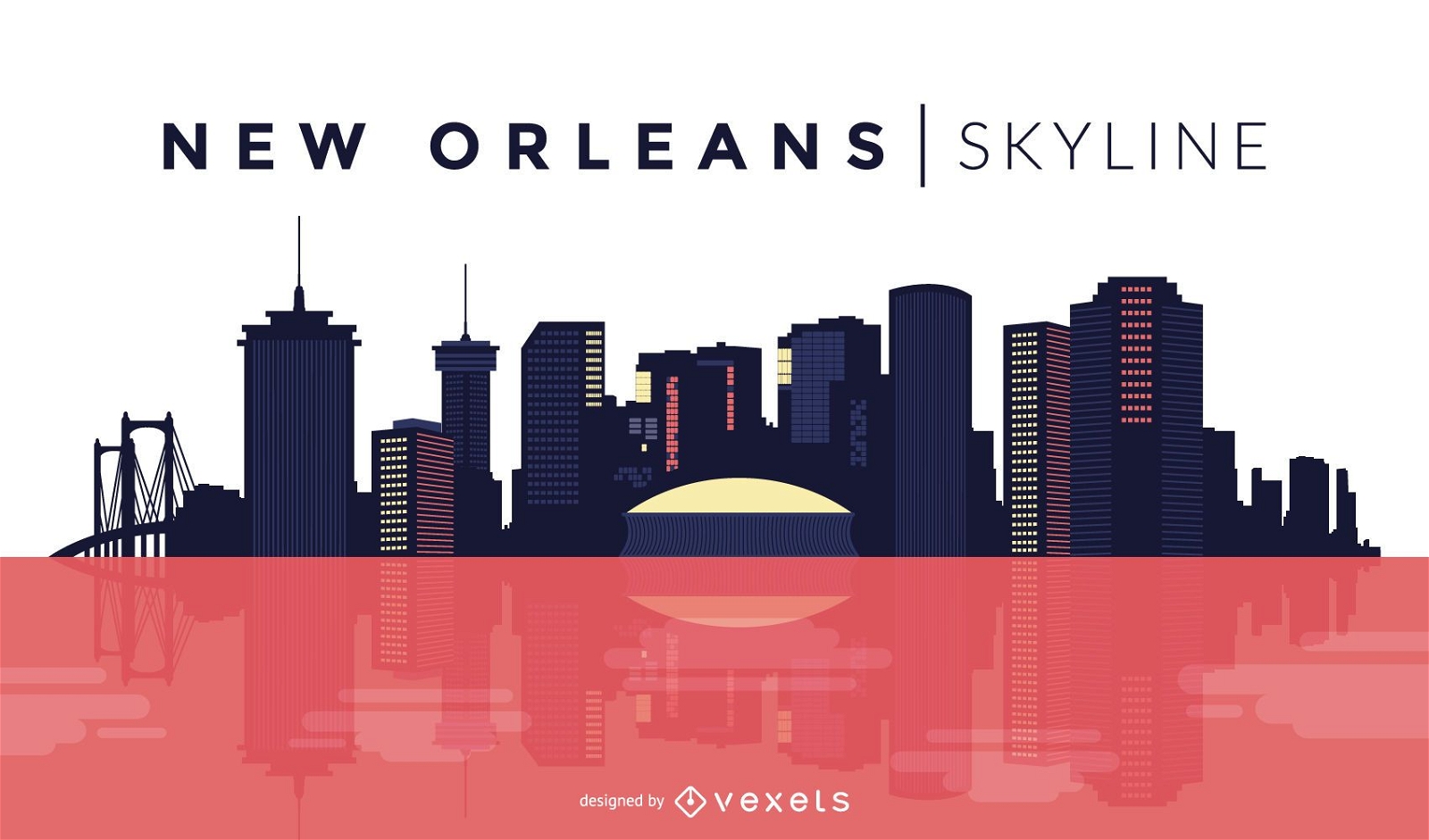
New Orleans skyline design
Choose a folder
All favorites
Create new
Save
New Orleans skyline design
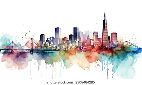
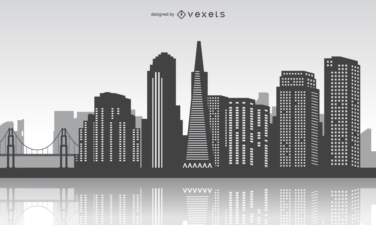
San Francisco skyline with reflection
Choose a folder
All favorites
Create new
Save
San Francisco skyline with reflection
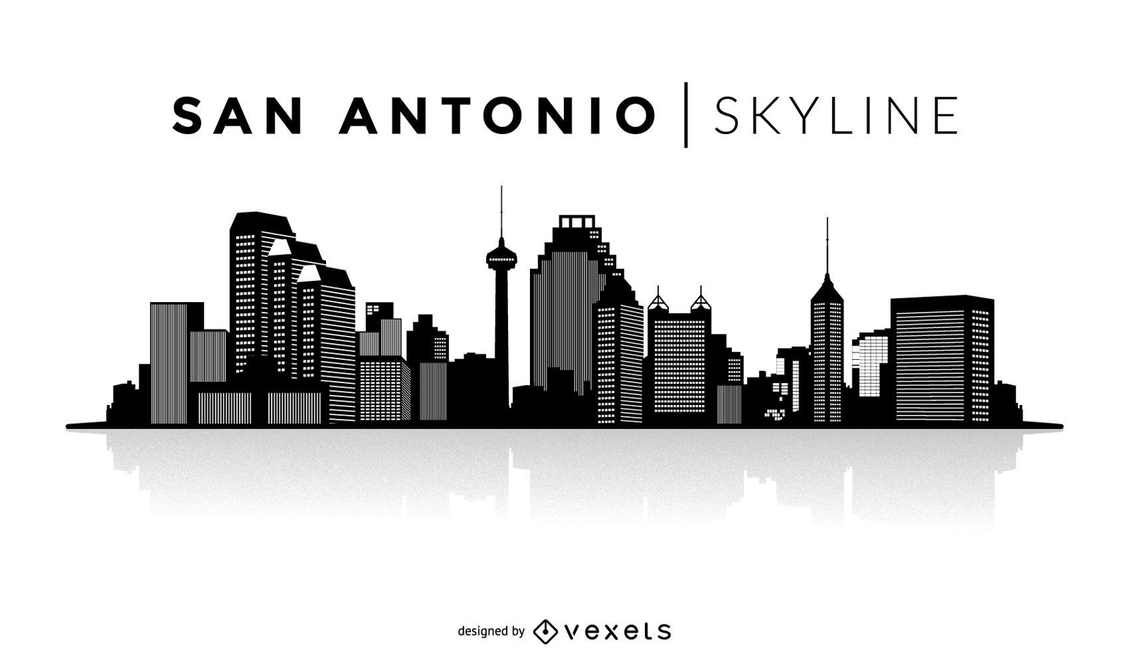
San Antonio silhouette skyline
Choose a folder
All favorites
Create new
Save
San Antonio silhouette skyline
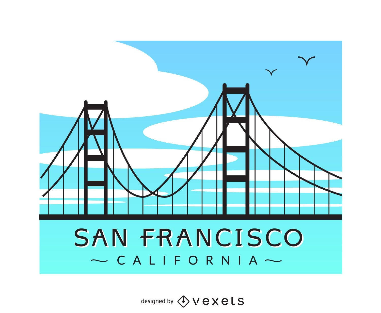
San Francisco bridge
Choose a folder
All favorites
Create new
Save
San Francisco bridge
Premium
Colorful Dallas skyline
Choose a folder
All favorites
Create new
Save
Colorful Dallas skyline
Premium
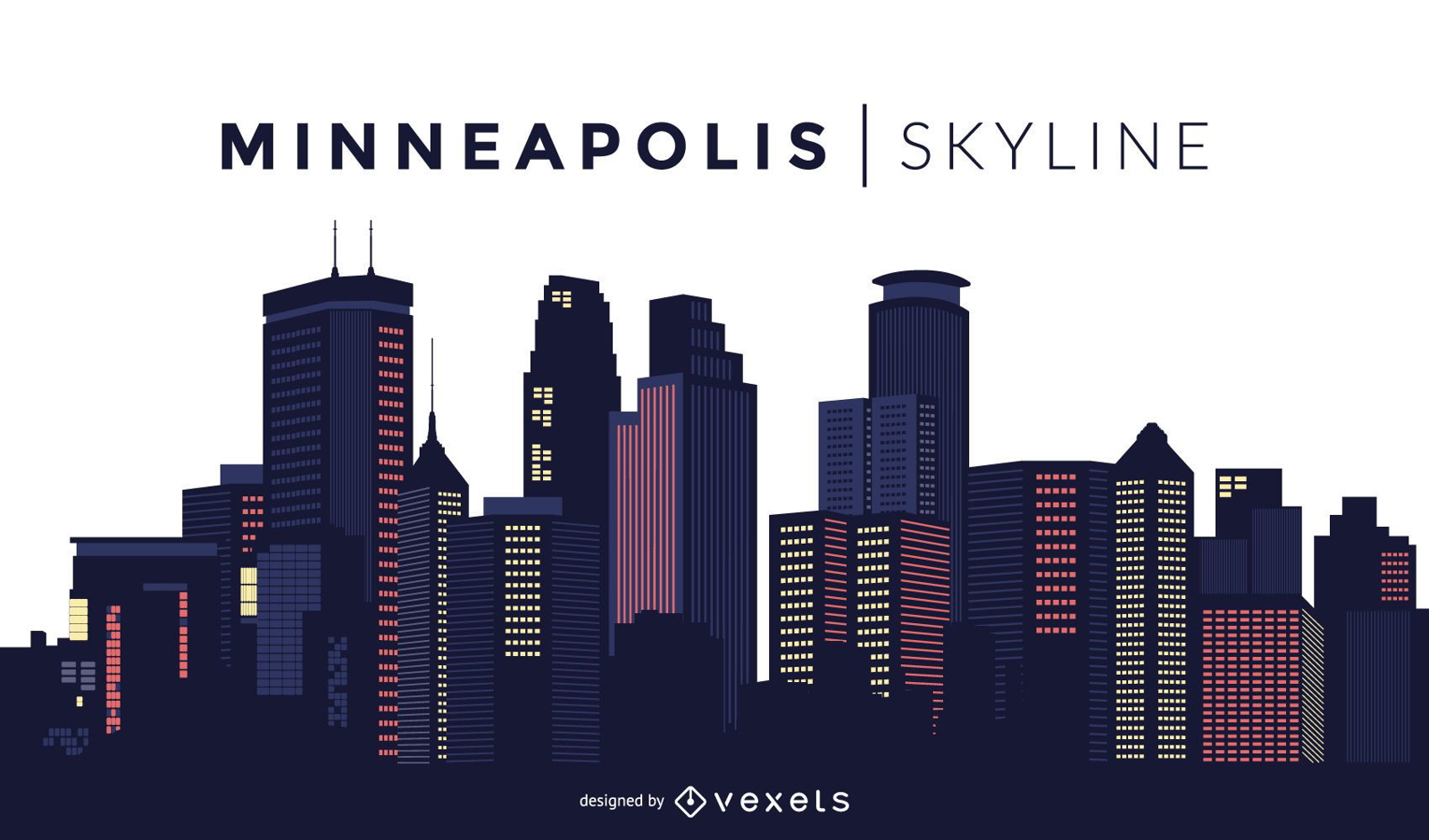
Minneapolis skyline design
Choose a folder
All favorites
Create new
Save
Minneapolis skyline design
Premium
Colorful Detroit skyline
Choose a folder
All favorites
Create new
Save
Colorful Detroit skyline
Los Angeles skyline silhouette design
Choose a folder
All favorites
Create new
Save
Los Angeles skyline silhouette design
Print ready
Premium
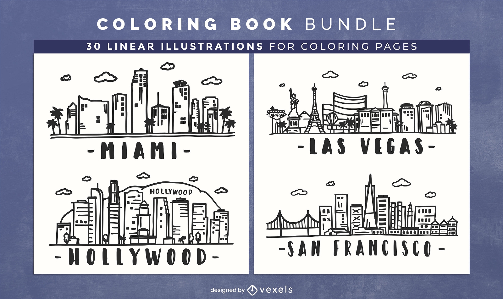
USA skylines coloring book pages design
Choose a folder
All favorites
Create new
Save
USA skylines coloring book pages design
Subscribe
To Get High-Quality Commercial Use Designs For Your Business
SEE PLANS
Next
of 19
prev page
next page