Design Library
New Merch Designs
T-Shirts
Vectors
Trending Merch Designs
PNGs & SVGs
Mockups
T-Shirt PSD Templates
Explore Designs
KDP Designs
Posters
Mugs
Phone Cases
Tote Bags
Pillows
Design Tools
Merch Designer
New!
Mockup Generator
AI Design Generator
Image Vectorizer
Quote Generator
T-Shirt Maker (Old)
Resources
Merch Digest
Blog
Help Center
Learn About Merch
Feedback
Corporate Solutions
Enterprise
API Access
Design Studio
Bulk Design Production
BLACK FRIDAY 60% OFF
Loading...
Sign Up
Login
Vectors
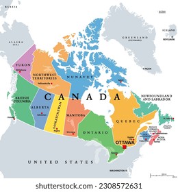
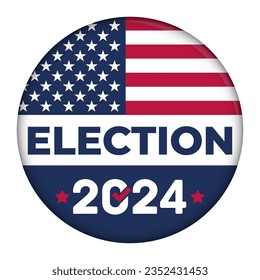
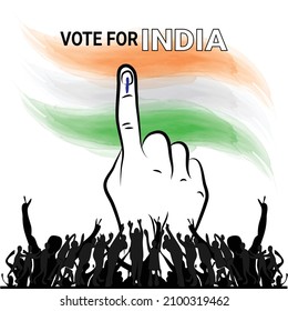
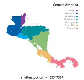
politics
Design Library
New Merch Designs
T-Shirts
Vectors
Trending Merch Designs
PNGs & SVGs
Mockups
T-Shirt PSD Templates
Explore Designs
KDP Designs
Posters
Mugs
Phone Cases
Tote Bags
Pillows
Design Tools
Merch Designer
New!
Mockup Generator
AI Design Generator
Image Vectorizer
Quote Generator
T-Shirt Maker (Old)
Resources
Merch Digest
Blog
Help Center
Learn About Merch
Feedback
Corporate Solutions
Enterprise
API Access
Design Studio
Bulk Design Production
PLANS
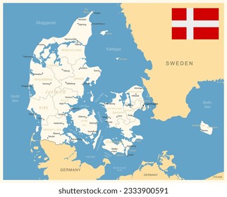
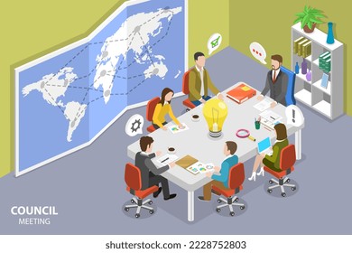
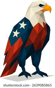
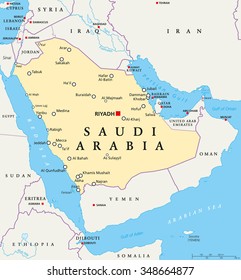
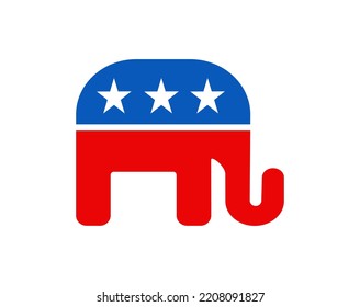
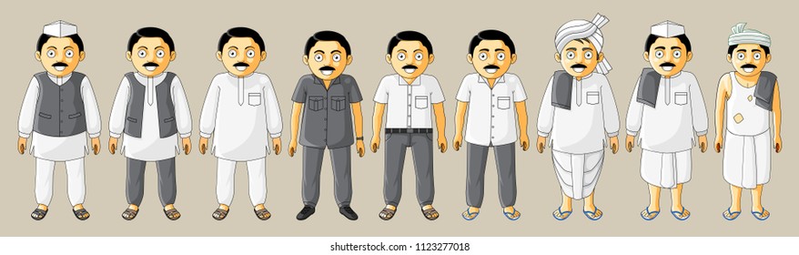
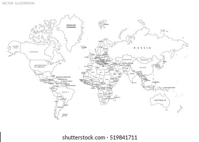
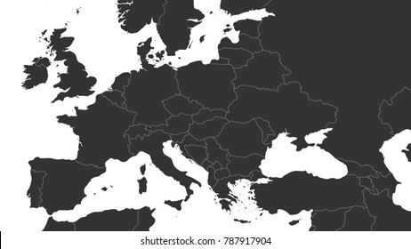
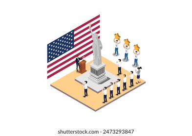
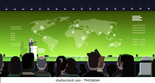
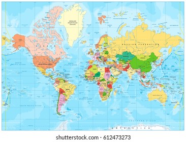
Vectors
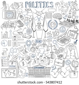
politics
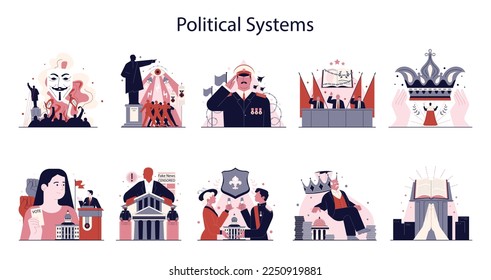
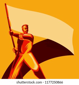
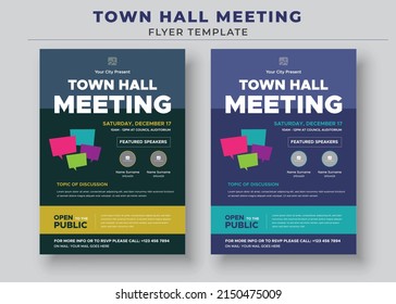
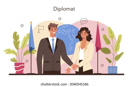
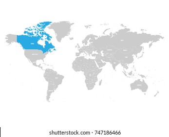
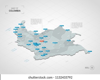
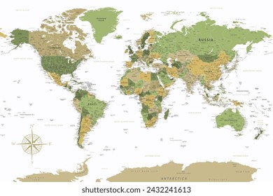
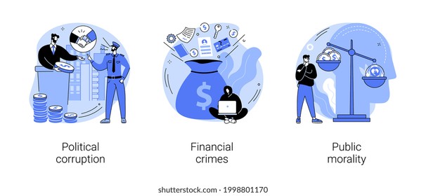
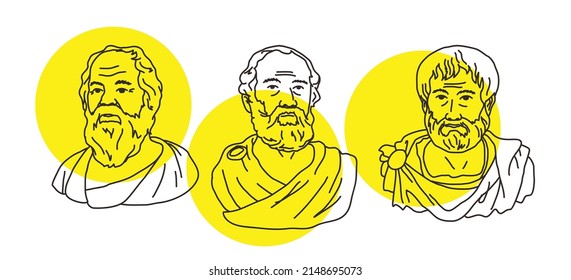
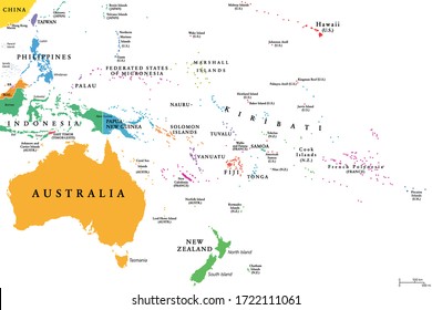
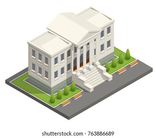
265 politics Vectors & Graphics to Download
Download politics editable vector graphics for every design project. In AI, SVG, PNG, JPG and PSD.
Sort by
Most relevant
Sponsored results by
Get 15% off with code: VEXELS15
Show more
Sorry, we couldn't find any matches for
"politics"
.
Find the Best Designs for You
Hottest Designs
New Merch Designs
Browse by Categories
Find the best designs for you
Ornaments & Decoration
Backgrounds & Wallpapers
Travel
Business
Holidays & Seasonal
Wedding
Abstract
Icons
Floral & Swirls
Texture & Patterns
Ribbons & Labels
Vector
Art
Design
Elements
Infographics
Cartoons & Characters
Banners & Emblems
Cars
Animals
Logos
Business
Card
Vintage & Retro
Technology
Christmas
Nature
Concepts & Ideas
Misc
Objects
Celebration & Party
Web
Elements
Silhouettes
Food & Drinks
BLACK FRIDAY
ANNUAL & LIFETIME DEALS
UP TO 60% OFF
Get offer
of 6
prev page
next page


 ANNUAL & LIFETIME DEALS UP TO 60% OFF