Design Library
New merch designs
T-Shirts
Vectors
Trending merch designs
PNGs & SVGs
Mockups
T-Shirts PSD Templates
Explore Designs
KDP Designs
Posters
Mugs
Phone cases
Tote bags
Pillows
Editable Online
Design Tools
Merch Designer
New!
Pattern Generator
New!
Mockup Generator
Ai Design Generator
Image Vectorizer
Quote Generator
T-Shirt Maker
Resources
Blog
Help Center
Learn about Merch
Feedback
Corporate Solutions
Enterprise
API Access
Design Studio
Bulk Design Production
Pricing
Sign Up
Log in
New merch designs
T-Shirts
Vectors
Trending merch designs
PNGs & SVGs
Mockups
T-Shirts PSD Templates
Explore Designs
KDP Designs
Posters
Mugs
Phone cases
Tote bags
Pillows
Editable Online
Merch Designer
New!
Pattern Generator
New!
Mockup Generator
Ai Design Generator
Image Vectorizer
Quote Generator
T-Shirt Maker
Blog
Help Center
Learn about Merch
Feedback
Enterprise
API Access
Design Studio
Bulk Design Production
All
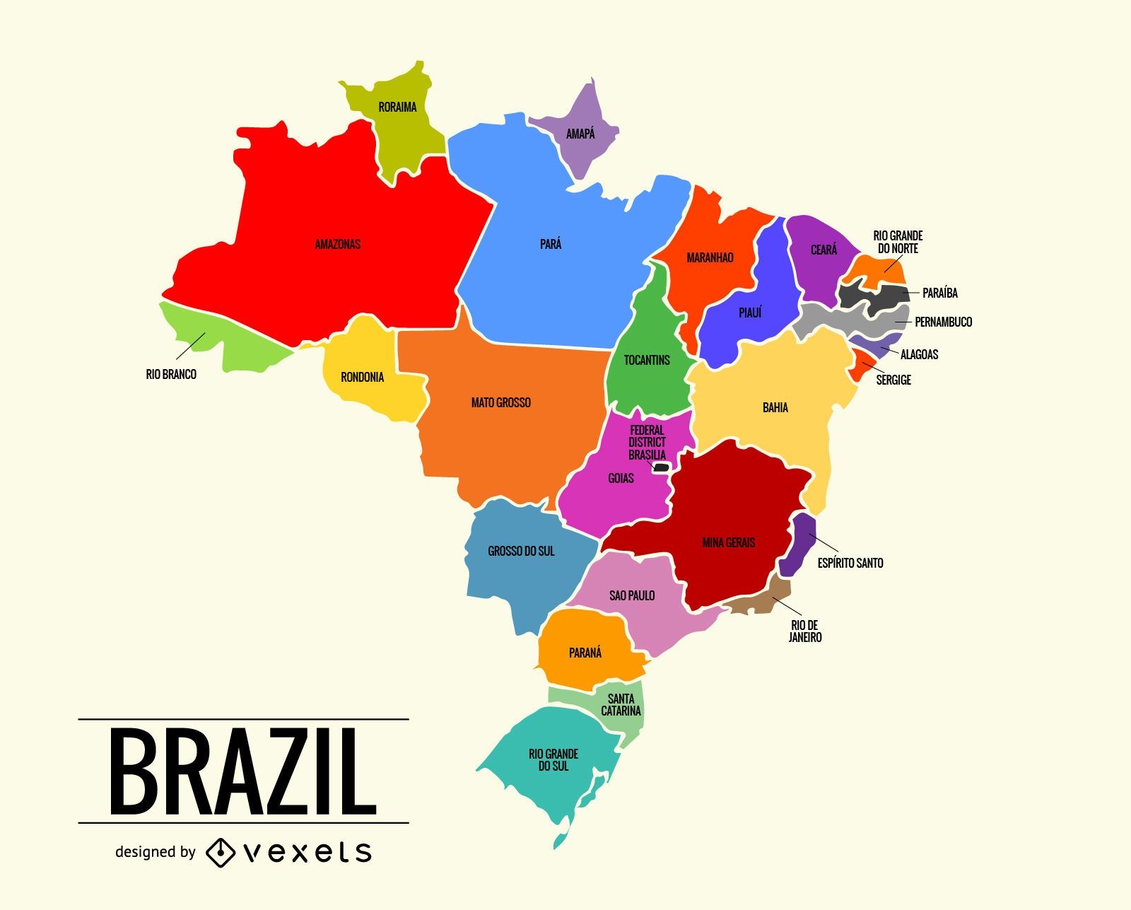
Colorful Brazil map
brazil
map
brasil
america
coloful
territory
Maps
Brazil map illustration in colorful tones. The map is divided in every Brazilian state and it also has the names of the territories.
Save
02/07/2018
Adobe Illustrator
Sponsored results by
Get 15% off with code: VEXELS15