Design Library
New Merch Designs
T-Shirts
Vectors
Trending Merch Designs
PNGs & SVGs
Mockups
T-Shirt PSD Templates
Explore Designs
KDP Designs
Posters
Mugs
Phone Cases
Tote Bags
Pillows
Design Tools
Merch Designer
New!
Mockup Generator
AI Design Generator
Image Vectorizer
Quote Generator
T-Shirt Maker (Old)
Resources
Merch Digest
Blog
Help Center
Learn About Merch
Feedback
Corporate Solutions
Enterprise
API Access
Design Studio
Bulk Design Production
Pricing
Loading...
Sign Up
Login
PNG
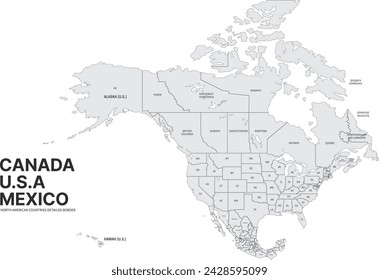
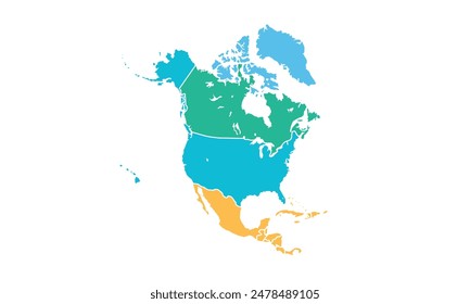
north
Design Library
New Merch Designs
T-Shirts
Vectors
Trending Merch Designs
PNGs & SVGs
Mockups
T-Shirt PSD Templates
Explore Designs
KDP Designs
Posters
Mugs
Phone Cases
Tote Bags
Pillows
Design Tools
Merch Designer
New!
Mockup Generator
AI Design Generator
Image Vectorizer
Quote Generator
T-Shirt Maker (Old)
Resources
Merch Digest
Blog
Help Center
Learn About Merch
Feedback
Corporate Solutions
Enterprise
API Access
Design Studio
Bulk Design Production
PLANS
PNG
north
309 north PNG and SVG Editable Vectors
Download editable north PNG and SVG Vectors with transparent background.
Related:
north america
,
north korea
,
northern
Sort by
Most relevant
Sponsored results by
Get 15% off with code: VEXELS15
Show more
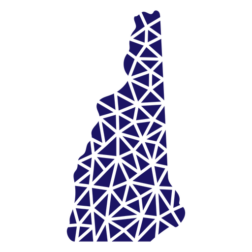
Polygonal New Hampshire Map PNG Design
Choose a folder
All favorites
Create new
Save
Polygonal New Hampshire Map PNG Design
Premium
Stylish outline map of mexico design PNG Design
Choose a folder
All favorites
Create new
Save
Stylish outline map of mexico design PNG Design
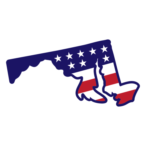
Maryland Stars & Stripes Map PNG Design
Choose a folder
All favorites
Create new
Save
Maryland Stars & Stripes Map PNG Design
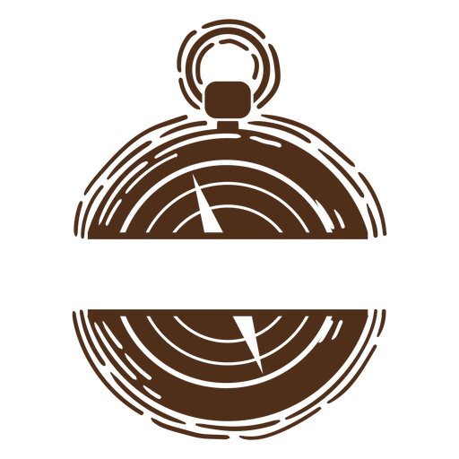
Travel compass label PNG Design
Choose a folder
All favorites
Create new
Save
Travel compass label PNG Design
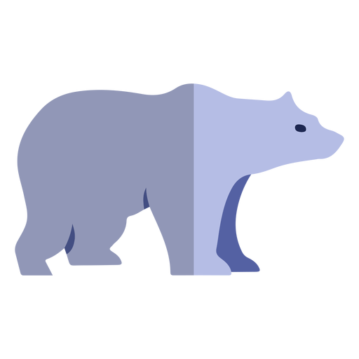
Polar bear flat PNG Design
Choose a folder
All favorites
Create new
Save
Polar bear flat PNG Design
Kansas state mandala map PNG Design
Choose a folder
All favorites
Create new
Save
Kansas state mandala map PNG Design
Premium
Magnet illustration PNG Design
Choose a folder
All favorites
Create new
Save
Magnet illustration PNG Design
Premium
Magnet stroke PNG Design
Choose a folder
All favorites
Create new
Save
Magnet stroke PNG Design
Cardinal points flat icon PNG Design
Choose a folder
All favorites
Create new
Save
Cardinal points flat icon PNG Design
Premium
Artistic outline of canadian geography design PNG Design
Choose a folder
All favorites
Create new
Save
Artistic outline of canadian geography design PNG Design
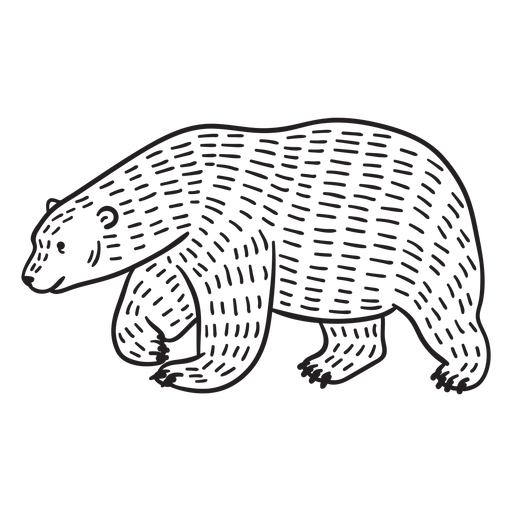
Hand drawn walking polar bear PNG Design
Choose a folder
All favorites
Create new
Save
Hand drawn walking polar bear PNG Design
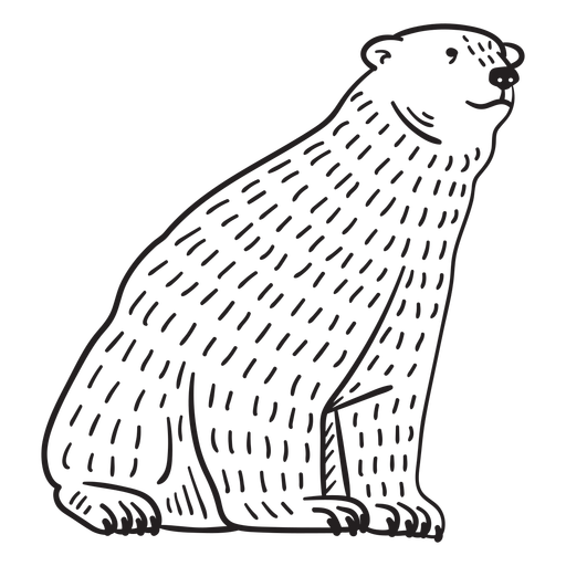
Hand drawn sitting polar bear PNG Design
Choose a folder
All favorites
Create new
Save
Hand drawn sitting polar bear PNG Design
States lettering massachusetts PNG Design
Choose a folder
All favorites
Create new
Save
States lettering massachusetts PNG Design
Polygonal Oklahoma State Map PNG Design
Choose a folder
All favorites
Create new
Save
Polygonal Oklahoma State Map PNG Design
Wyoming Stars & Stripes Map PNG Design
Choose a folder
All favorites
Create new
Save
Wyoming Stars & Stripes Map PNG Design
Traditional compass label PNG Design
Choose a folder
All favorites
Create new
Save
Traditional compass label PNG Design
Compass tool with leaves PNG Design
Choose a folder
All favorites
Create new
Save
Compass tool with leaves PNG Design
Travel compass stroke PNG Design
Choose a folder
All favorites
Create new
Save
Travel compass stroke PNG Design
Massachusetts state mandala map stroke PNG Design
Choose a folder
All favorites
Create new
Save
Massachusetts state mandala map stroke PNG Design
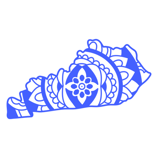
Kentucky state mandala map stroke PNG Design
Choose a folder
All favorites
Create new
Save
Kentucky state mandala map stroke PNG Design
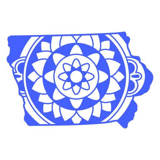
Iowa state mandala map stroke PNG Design
Choose a folder
All favorites
Create new
Save
Iowa state mandala map stroke PNG Design
Michigan state mandala map stroke PNG Design
Choose a folder
All favorites
Create new
Save
Michigan state mandala map stroke PNG Design
Premium
Meh-ry Christmas quote PNG Design
Choose a folder
All favorites
Create new
Save
Meh-ry Christmas quote PNG Design
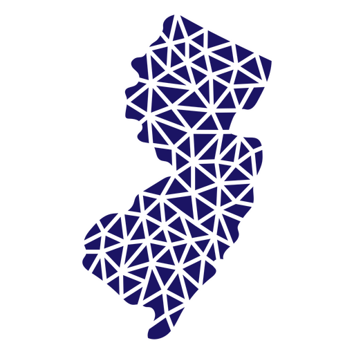
Polygonal New Jersey Map PNG Design
Choose a folder
All favorites
Create new
Save
Polygonal New Jersey Map PNG Design
Polygonal Nevada State Map PNG Design
Choose a folder
All favorites
Create new
Save
Polygonal Nevada State Map PNG Design
Louisiana state mandala map PNG Design
Choose a folder
All favorites
Create new
Save
Louisiana state mandala map PNG Design
California state mandala map stroke PNG Design
Choose a folder
All favorites
Create new
Save
California state mandala map stroke PNG Design
Kansas state mandala map stroke PNG Design
Choose a folder
All favorites
Create new
Save
Kansas state mandala map stroke PNG Design
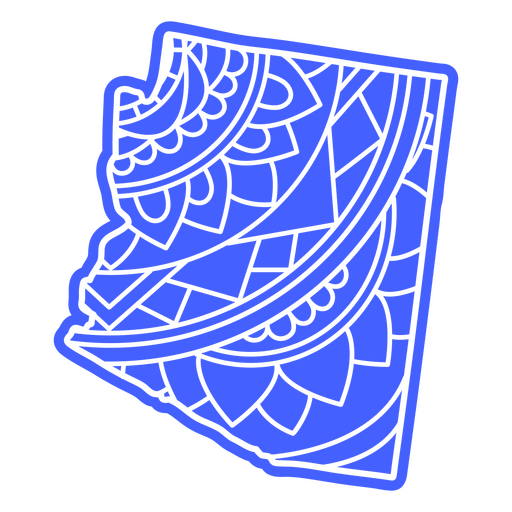
Arizona state mandala map stroke PNG Design
Choose a folder
All favorites
Create new
Save
Arizona state mandala map stroke PNG Design
Premium
color stroke red bird PNG Design
Choose a folder
All favorites
Create new
Save
color stroke red bird PNG Design
Alaska state mandala map element PNG Design
Choose a folder
All favorites
Create new
Save
Alaska state mandala map element PNG Design
Premium
Usa illustrated map PNG Design
Choose a folder
All favorites
Create new
Save
Usa illustrated map PNG Design
Polygonal New York State Map PNG Design
Choose a folder
All favorites
Create new
Save
Polygonal New York State Map PNG Design
Compass hand drawn element PNG Design
Choose a folder
All favorites
Create new
Save
Compass hand drawn element PNG Design
Premium
Christmas reindeer having a drink PNG Design
Choose a folder
All favorites
Create new
Save
Christmas reindeer having a drink PNG Design
New york polygonal map PNG Design
Choose a folder
All favorites
Create new
Save
New york polygonal map PNG Design
Exclusive nice list only badge sticker PNG Design
Choose a folder
All favorites
Create new
Save
Exclusive nice list only badge sticker PNG Design
Santa mailing badge sticker PNG Design
Choose a folder
All favorites
Create new
Save
Santa mailing badge sticker PNG Design
Premium
Snowman character sticker PNG Design
Choose a folder
All favorites
Create new
Save
Snowman character sticker PNG Design
Premium
A red Christmas bauble PNG Design
Choose a folder
All favorites
Create new
Save
A red Christmas bauble PNG Design
Polygonal Rhode Island Map PNG Design
Choose a folder
All favorites
Create new
Save
Polygonal Rhode Island Map PNG Design
Polygonal Wyoming State Map PNG Design
Choose a folder
All favorites
Create new
Save
Polygonal Wyoming State Map PNG Design
Polygonal Utah State Map PNG Design
Choose a folder
All favorites
Create new
Save
Polygonal Utah State Map PNG Design
Connecticut Stars & Stripes Map PNG Design
Choose a folder
All favorites
Create new
Save
Connecticut Stars & Stripes Map PNG Design
Travel compass cut out PNG Design
Choose a folder
All favorites
Create new
Save
Travel compass cut out PNG Design
Kentucky state mandala map PNG Design
Choose a folder
All favorites
Create new
Save
Kentucky state mandala map PNG Design
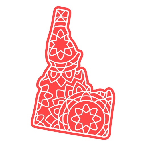
Idaho state mandala map PNG Design
Choose a folder
All favorites
Create new
Save
Idaho state mandala map PNG Design
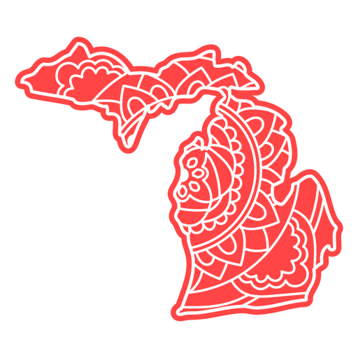
Michigan state mandala map PNG Design
Choose a folder
All favorites
Create new
Save
Michigan state mandala map PNG Design
Arkansas state mandala map PNG Design
Choose a folder
All favorites
Create new
Save
Arkansas state mandala map PNG Design
Arizona state mandala map PNG Design
Choose a folder
All favorites
Create new
Save
Arizona state mandala map PNG Design
Subscribe
To Get High-Quality Commercial Use Designs For Your Business
SEE PLANS
Next
of 7
prev page
next page