Design Library
New Merch Designs
T-Shirts
Vectors
Trending Merch Designs
PNGs & SVGs
Mockups
T-Shirt PSD Templates
Explore Designs
KDP Designs
Posters
Mugs
Phone Cases
Tote Bags
Pillows
Design Tools
Merch Designer
New!
Mockup Generator
AI Design Generator
Image Vectorizer
Quote Generator
T-Shirt Maker (Old)
Resources
Merch Digest
Blog
Help Center
Learn About Merch
Feedback
Corporate Solutions
Enterprise
API Access
Design Studio
Bulk Design Production
Pricing
Loading...
Sign Up
Login
PNG
north
Design Library
New Merch Designs
T-Shirts
Vectors
Trending Merch Designs
PNGs & SVGs
Mockups
T-Shirt PSD Templates
Explore Designs
KDP Designs
Posters
Mugs
Phone Cases
Tote Bags
Pillows
Design Tools
Merch Designer
New!
Mockup Generator
AI Design Generator
Image Vectorizer
Quote Generator
T-Shirt Maker (Old)
Resources
Merch Digest
Blog
Help Center
Learn About Merch
Feedback
Corporate Solutions
Enterprise
API Access
Design Studio
Bulk Design Production
PLANS
PNG
north
309 north PNG and SVG Editable Vectors
Download editable north PNG and SVG Vectors with transparent background.
Related:
north america
,
north korea
,
northern
Sort by
Most relevant
Sponsored results by
Get 15% off with code: VEXELS15
Show more
Premium
Ohio state stroke map PNG Design
Choose a folder
All favorites
Create new
Save
Ohio state stroke map PNG Design
Premium
Sasquatch bigfoot flat black PNG Design
Choose a folder
All favorites
Create new
Save
Sasquatch bigfoot flat black PNG Design
South Carolina state stroke map PNG Design
Choose a folder
All favorites
Create new
Save
South Carolina state stroke map PNG Design
Filled stroke compass with wave PNG Design
Choose a folder
All favorites
Create new
Save
Filled stroke compass with wave PNG Design
Places lettering nashville PNG Design
Choose a folder
All favorites
Create new
Save
Places lettering nashville PNG Design
Premium
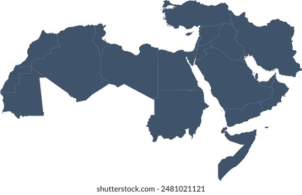
Silhouette of tunisia map design PNG Design
Choose a folder
All favorites
Create new
Save
Silhouette of tunisia map design PNG Design
Premium
Stylized silhouette of morocco map PNG Design
Choose a folder
All favorites
Create new
Save
Stylized silhouette of morocco map PNG Design
Premium
Stylized silhouette of tunisia outline PNG Design
Choose a folder
All favorites
Create new
Save
Stylized silhouette of tunisia outline PNG Design
Premium
Minimalist black map outline design of morocco t-shirt design PNG Design
Choose a folder
All favorites
Create new
Save
Minimalist black map outline design of morocco t-shirt design PNG Design
Premium
Geometric black silhouette design of a state outline PNG Design
Choose a folder
All favorites
Create new
Save
Geometric black silhouette design of a state outline PNG Design
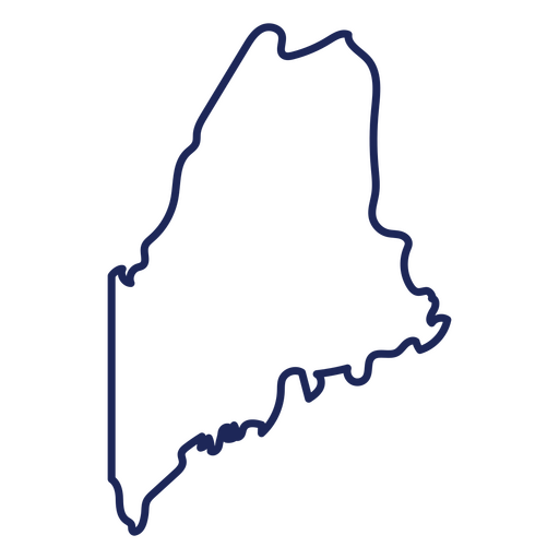
Maine state stroke map PNG Design
Choose a folder
All favorites
Create new
Save
Maine state stroke map PNG Design
Washington state stroke map PNG Design
Choose a folder
All favorites
Create new
Save
Washington state stroke map PNG Design
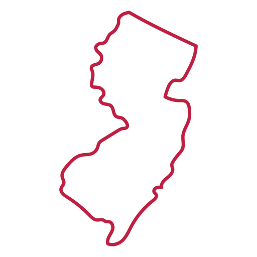
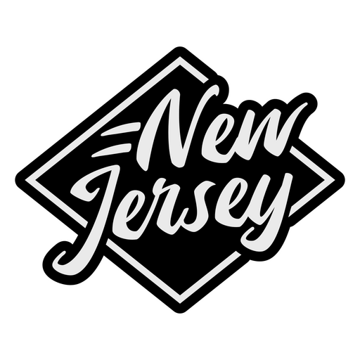
New Jersey state stroke map PNG Design
Choose a folder
All favorites
Create new
Save
New Jersey state stroke map PNG Design
Mississippi state stroke map PNG Design
Choose a folder
All favorites
Create new
Save
Mississippi state stroke map PNG Design
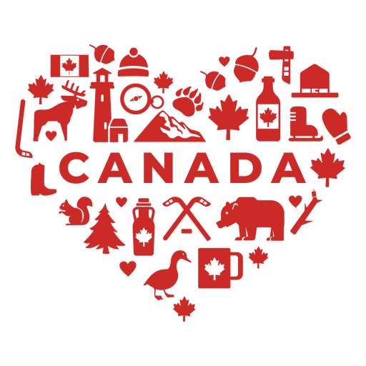
Canada red heart PNG Design
Choose a folder
All favorites
Create new
Save
Canada red heart PNG Design
Anvil logo PNG Design
Choose a folder
All favorites
Create new
Save
Anvil logo PNG Design
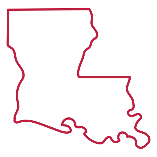
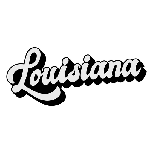
Louisiana state stroke map PNG Design
Choose a folder
All favorites
Create new
Save
Louisiana state stroke map PNG Design
Virginia state stroke map PNG Design
Choose a folder
All favorites
Create new
Save
Virginia state stroke map PNG Design
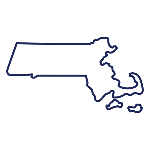
Massachusetts state stroke map PNG Design
Choose a folder
All favorites
Create new
Save
Massachusetts state stroke map PNG Design
Pennsylvania state stroke map PNG Design
Choose a folder
All favorites
Create new
Save
Pennsylvania state stroke map PNG Design
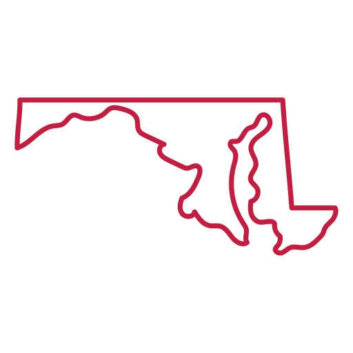
Maryland state stroke map PNG Design
Choose a folder
All favorites
Create new
Save
Maryland state stroke map PNG Design
States lettering oklahoma PNG Design
Choose a folder
All favorites
Create new
Save
States lettering oklahoma PNG Design
Michigan state stroke map PNG Design
Choose a folder
All favorites
Create new
Save
Michigan state stroke map PNG Design
Utah state stroke map PNG Design
Choose a folder
All favorites
Create new
Save
Utah state stroke map PNG Design
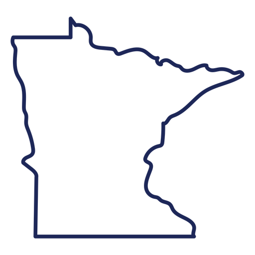
Minnesotta state stroke map PNG Design
Choose a folder
All favorites
Create new
Save
Minnesotta state stroke map PNG Design
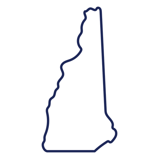
New Hampshire state stroke map PNG Design
Choose a folder
All favorites
Create new
Save
New Hampshire state stroke map PNG Design
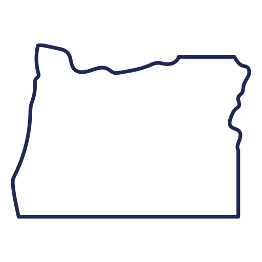
Oregon state stroke map PNG Design
Choose a folder
All favorites
Create new
Save
Oregon state stroke map PNG Design
Oklahoma state stroke map PNG Design
Choose a folder
All favorites
Create new
Save
Oklahoma state stroke map PNG Design
Missouri state stroke map PNG Design
Choose a folder
All favorites
Create new
Save
Missouri state stroke map PNG Design
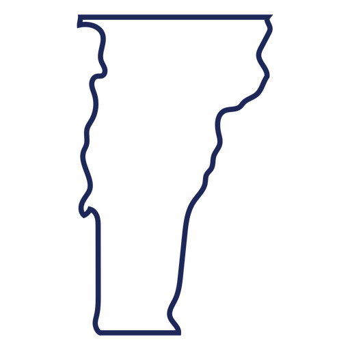
Vermont state stroke map PNG Design
Choose a folder
All favorites
Create new
Save
Vermont state stroke map PNG Design
States lettering arkansas PNG Design
Choose a folder
All favorites
Create new
Save
States lettering arkansas PNG Design
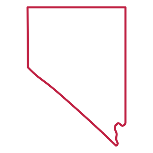
Nevada state stroke map PNG Design
Choose a folder
All favorites
Create new
Save
Nevada state stroke map PNG Design
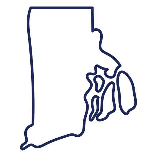
Rhode island state stroke map PNG Design
Choose a folder
All favorites
Create new
Save
Rhode island state stroke map PNG Design
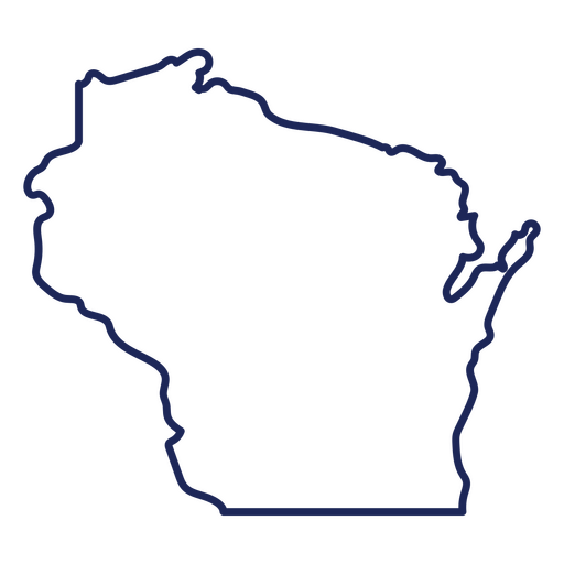
Wisconsin state stroke map PNG Design
Choose a folder
All favorites
Create new
Save
Wisconsin state stroke map PNG Design
States lettering new jersey PNG Design
Choose a folder
All favorites
Create new
Save
States lettering new jersey PNG Design
Filled stroke compass directions from top PNG Design
Choose a folder
All favorites
Create new
Save
Filled stroke compass directions from top PNG Design
Northway logo PNG Design
Choose a folder
All favorites
Create new
Save
Northway logo PNG Design
States lettering nebraska PNG Design
Choose a folder
All favorites
Create new
Save
States lettering nebraska PNG Design
States lettering illinois PNG Design
Choose a folder
All favorites
Create new
Save
States lettering illinois PNG Design
States lettering washington PNG Design
Choose a folder
All favorites
Create new
Save
States lettering washington PNG Design
Montana state stroke map PNG Design
Choose a folder
All favorites
Create new
Save
Montana state stroke map PNG Design
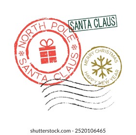
Claus express mailing badge sticker PNG Design
Choose a folder
All favorites
Create new
Save
Claus express mailing badge sticker PNG Design
States lettering pennsylvania PNG Design
Choose a folder
All favorites
Create new
Save
States lettering pennsylvania PNG Design
States lettering mississippi PNG Design
Choose a folder
All favorites
Create new
Save
States lettering mississippi PNG Design
States lettering idaho PNG Design
Choose a folder
All favorites
Create new
Save
States lettering idaho PNG Design
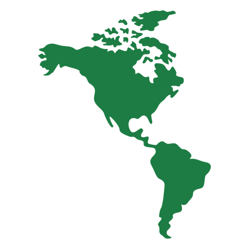
America map silhouette PNG Design
Choose a folder
All favorites
Create new
Save
America map silhouette PNG Design
States lettering iowa PNG Design
Choose a folder
All favorites
Create new
Save
States lettering iowa PNG Design
States lettering louisiana PNG Design
Choose a folder
All favorites
Create new
Save
States lettering louisiana PNG Design
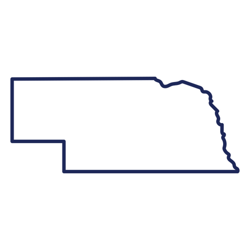
Nebraska state stroke map PNG Design
Choose a folder
All favorites
Create new
Save
Nebraska state stroke map PNG Design
Filled stroke open compass with leaves PNG Design
Choose a folder
All favorites
Create new
Save
Filled stroke open compass with leaves PNG Design
Subscribe
To Get High-Quality Commercial Use Designs For Your Business
SEE PLANS
Next
of 7
prev page
next page