Design Library
New Merch Designs
T-Shirts
Vectors
Trending Merch Designs
PNGs & SVGs
Mockups
T-Shirt PSD Templates
Explore Designs
KDP Designs
Posters
Mugs
Phone Cases
Tote Bags
Pillows
Design Tools
Merch Designer
New!
Mockup Generator
AI Design Generator
Image Vectorizer
Quote Generator
T-Shirt Maker (Old)
Resources
Merch Digest
Blog
Help Center
Learn About Merch
Feedback
Corporate Solutions
Enterprise
API Access
Design Studio
Bulk Design Production
Pricing
Loading...
Sign Up
Login
PNG
maps
Design Library
New Merch Designs
T-Shirts
Vectors
Trending Merch Designs
PNGs & SVGs
Mockups
T-Shirt PSD Templates
Explore Designs
KDP Designs
Posters
Mugs
Phone Cases
Tote Bags
Pillows
Design Tools
Merch Designer
New!
Mockup Generator
AI Design Generator
Image Vectorizer
Quote Generator
T-Shirt Maker (Old)
Resources
Merch Digest
Blog
Help Center
Learn About Merch
Feedback
Corporate Solutions
Enterprise
API Access
Design Studio
Bulk Design Production
PLANS
PNG
maps
4890 maps PNG and SVG Editable Vectors
Download editable maps PNG and SVG Vectors with transparent background.
Related:
world maps
,
base maps
,
world livestock maps
Sort by
Most relevant
Sponsored results by
Get 15% off with code: VEXELS15
Show more
Premium
Castile and leon autonomous community map PNG Design
Choose a folder
All favorites
Create new
Save
Castile and leon autonomous community map PNG Design
Premium
Northern territory state map PNG Design
Choose a folder
All favorites
Create new
Save
Northern territory state map PNG Design
Premium
Australia flag badge PNG Design
Choose a folder
All favorites
Create new
Save
Australia flag badge PNG Design
Premium
Isolated striped Circle design PNG Design
Choose a folder
All favorites
Create new
Save
Isolated striped Circle design PNG Design
Premium
Chuvashia national flag PNG Design
Choose a folder
All favorites
Create new
Save
Chuvashia national flag PNG Design
Premium
Komi national flag PNG Design
Choose a folder
All favorites
Create new
Save
Komi national flag PNG Design
Premium
Gay af logo sticker PNG Design
Choose a folder
All favorites
Create new
Save
Gay af logo sticker PNG Design
Premium
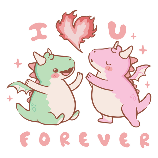
I love you forever dragons PNG Design
Choose a folder
All favorites
Create new
Save
I love you forever dragons PNG Design
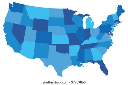
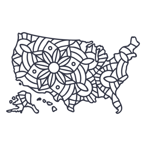
USA map silhouette mandala stroke PNG Design
Choose a folder
All favorites
Create new
Save
USA map silhouette mandala stroke PNG Design
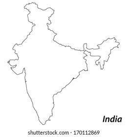
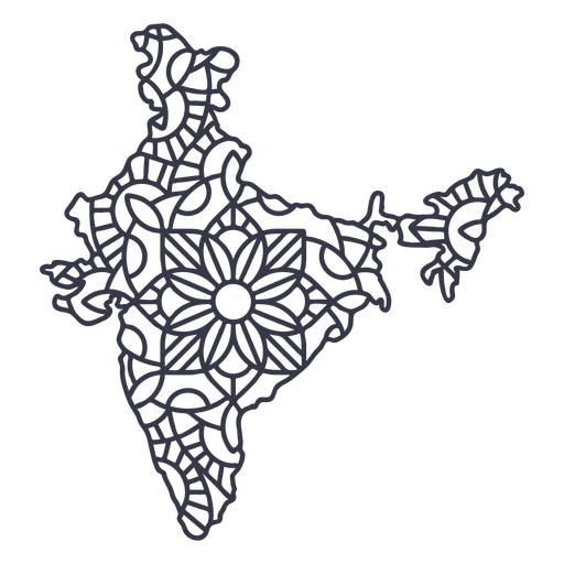
India map silhouette mandala stroke PNG Design
Choose a folder
All favorites
Create new
Save
India map silhouette mandala stroke PNG Design
Brain sparkle stroke PNG Design
Choose a folder
All favorites
Create new
Save
Brain sparkle stroke PNG Design
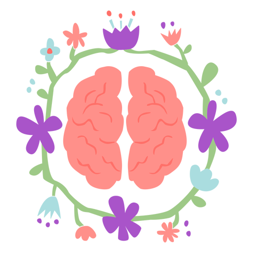
Brain with flower crown flat PNG Design
Choose a folder
All favorites
Create new
Save
Brain with flower crown flat PNG Design
Mail box packages semi flat PNG Design
Choose a folder
All favorites
Create new
Save
Mail box packages semi flat PNG Design
Pink letter X mandala design PNG Design
Choose a folder
All favorites
Create new
Save
Pink letter X mandala design PNG Design
Thread cutting machine metal screw cut out PNG Design
Choose a folder
All favorites
Create new
Save
Thread cutting machine metal screw cut out PNG Design
Hand whisk filled stroke PNG Design
Choose a folder
All favorites
Create new
Save
Hand whisk filled stroke PNG Design
Tarot card king of wands cut out PNG Design
Choose a folder
All favorites
Create new
Save
Tarot card king of wands cut out PNG Design
Magic purple potion PNG Design
Choose a folder
All favorites
Create new
Save
Magic purple potion PNG Design
Cleaning gloves color stroke PNG Design
Choose a folder
All favorites
Create new
Save
Cleaning gloves color stroke PNG Design
Ship anchor rope cut out PNG Design
Choose a folder
All favorites
Create new
Save
Ship anchor rope cut out PNG Design
Two ropes knot color stroke PNG Design
Choose a folder
All favorites
Create new
Save
Two ropes knot color stroke PNG Design
Guatemala rompope flat PNG Design
Choose a folder
All favorites
Create new
Save
Guatemala rompope flat PNG Design
Traditional honduras dress PNG Design
Choose a folder
All favorites
Create new
Save
Traditional honduras dress PNG Design
Ceres simple solar system dwarf planet PNG Design
Choose a folder
All favorites
Create new
Save
Ceres simple solar system dwarf planet PNG Design
Korean tiger stroke PNG Design
Choose a folder
All favorites
Create new
Save
Korean tiger stroke PNG Design
Truck fire engine colorful illustration PNG Design
Choose a folder
All favorites
Create new
Save
Truck fire engine colorful illustration PNG Design
Waving country flag PNG Design
Choose a folder
All favorites
Create new
Save
Waving country flag PNG Design
Apple with leaf hand drawn PNG Design
Choose a folder
All favorites
Create new
Save
Apple with leaf hand drawn PNG Design
Premium
Colored garden butterfly design PNG Design
Choose a folder
All favorites
Create new
Save
Colored garden butterfly design PNG Design
Premium
Telescope school icon PNG Design
Choose a folder
All favorites
Create new
Save
Telescope school icon PNG Design
Premium
Hokkaido region map PNG Design
Choose a folder
All favorites
Create new
Save
Hokkaido region map PNG Design
Premium
Pipe pollution outpouring PNG Design
Choose a folder
All favorites
Create new
Save
Pipe pollution outpouring PNG Design
Premium
Dice with map PNG Design
Choose a folder
All favorites
Create new
Save
Dice with map PNG Design
Premium
Padre de la novia wedding spanish phrase mustache glasses bride father.svg PNG Design
Choose a folder
All favorites
Create new
Save
Padre de la novia wedding spanish phrase mustache glasses bride father.svg PNG Design
Premium
Guernsey national flag PNG Design
Choose a folder
All favorites
Create new
Save
Guernsey national flag PNG Design
Premium
Hon kong national flag PNG Design
Choose a folder
All favorites
Create new
Save
Hon kong national flag PNG Design
Premium
The flag of germany in its map PNG Design
Choose a folder
All favorites
Create new
Save
The flag of germany in its map PNG Design
Premium
Green sticker with the word south carolina on it PNG Design
Choose a folder
All favorites
Create new
Save
Green sticker with the word south carolina on it PNG Design
Premium
What's yours will come PNG Design
Choose a folder
All favorites
Create new
Save
What's yours will come PNG Design
Alaska duotone states PNG Design
Choose a folder
All favorites
Create new
Save
Alaska duotone states PNG Design
Oregon color stroke states PNG Design
Choose a folder
All favorites
Create new
Save
Oregon color stroke states PNG Design
Pink number six mandala stroke PNG Design
Choose a folder
All favorites
Create new
Save
Pink number six mandala stroke PNG Design
Mental health is a priority color stroke PNG Design
Choose a folder
All favorites
Create new
Save
Mental health is a priority color stroke PNG Design
Royal crown color stroke PNG Design
Choose a folder
All favorites
Create new
Save
Royal crown color stroke PNG Design
Flower teacup stroke PNG Design
Choose a folder
All favorites
Create new
Save
Flower teacup stroke PNG Design
Knight's armor filled stroke PNG Design
Choose a folder
All favorites
Create new
Save
Knight's armor filled stroke PNG Design
Ship rudder color stroke PNG Design
Choose a folder
All favorites
Create new
Save
Ship rudder color stroke PNG Design
Orange pencil flat PNG Design
Choose a folder
All favorites
Create new
Save
Orange pencil flat PNG Design
Crayons set stroke PNG Design
Choose a folder
All favorites
Create new
Save
Crayons set stroke PNG Design
Ships wheel nautical label PNG Design
Choose a folder
All favorites
Create new
Save
Ships wheel nautical label PNG Design
Subscribe
To Get High-Quality Commercial Use Designs For Your Business
SEE PLANS
Next
of 98
prev page
next page