Design Library
New Merch Designs
T-Shirts
Vectors
Trending Merch Designs
PNGs & SVGs
Mockups
T-Shirt PSD Templates
Explore Designs
KDP Designs
Posters
Mugs
Phone Cases
Tote Bags
Pillows
Design Tools
Merch Designer
New!
Mockup Generator
AI Design Generator
Image Vectorizer
Quote Generator
T-Shirt Maker (Old)
Resources
Merch Digest
Blog
Help Center
Learn About Merch
Feedback
Corporate Solutions
Enterprise
API Access
Design Studio
Bulk Design Production
Pricing
Loading...
Sign Up
Login
PNG
maps
Design Library
New Merch Designs
T-Shirts
Vectors
Trending Merch Designs
PNGs & SVGs
Mockups
T-Shirt PSD Templates
Explore Designs
KDP Designs
Posters
Mugs
Phone Cases
Tote Bags
Pillows
Design Tools
Merch Designer
New!
Mockup Generator
AI Design Generator
Image Vectorizer
Quote Generator
T-Shirt Maker (Old)
Resources
Merch Digest
Blog
Help Center
Learn About Merch
Feedback
Corporate Solutions
Enterprise
API Access
Design Studio
Bulk Design Production
PLANS
PNG
maps
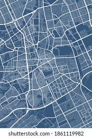
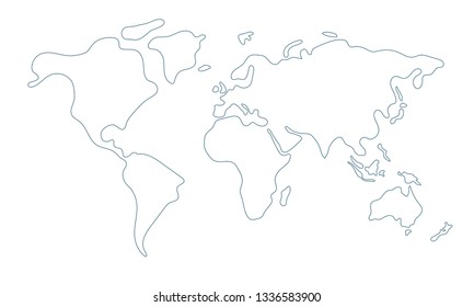
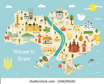
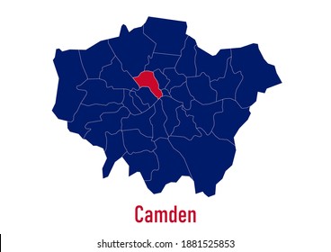
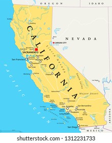
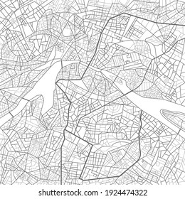
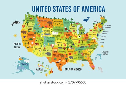
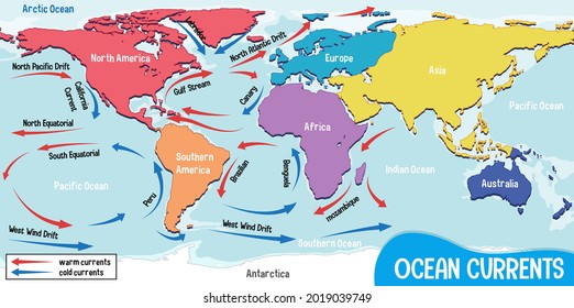
4890 maps PNG and SVG Editable Vectors
Download editable maps PNG and SVG Vectors with transparent background.
Related:
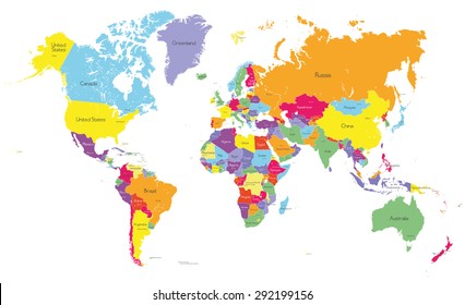
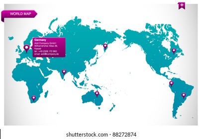
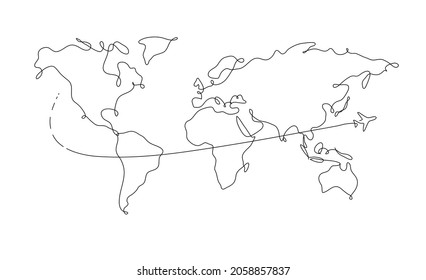
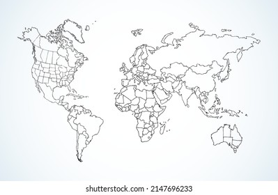
world maps
,
base maps
,
world livestock maps
Sort by
Most relevant
Sponsored results by
Get 15% off with code: VEXELS15
Show more
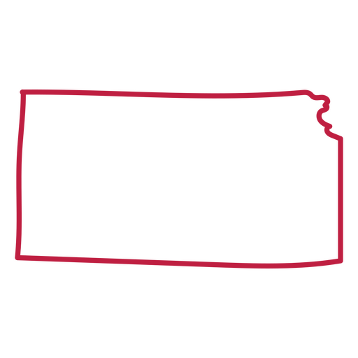
States color stroke kansas PNG Design
Choose a folder
All favorites
Create new
Save
States color stroke kansas PNG Design
Kansas usa country map stroke PNG Design
Choose a folder
All favorites
Create new
Save
Kansas usa country map stroke PNG Design
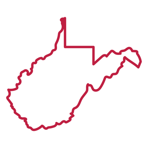
West Virginia state stroke map PNG Design
Choose a folder
All favorites
Create new
Save
West Virginia state stroke map PNG Design
Pink letter U cut out mandala design PNG Design
Choose a folder
All favorites
Create new
Save
Pink letter U cut out mandala design PNG Design
Cute scarecrow stroke PNG Design
Choose a folder
All favorites
Create new
Save
Cute scarecrow stroke PNG Design
75 cents label design filled stroke PNG Design
Choose a folder
All favorites
Create new
Save
75 cents label design filled stroke PNG Design
Open shower flat PNG Design
Choose a folder
All favorites
Create new
Save
Open shower flat PNG Design
Papers with clip semi flat PNG Design
Choose a folder
All favorites
Create new
Save
Papers with clip semi flat PNG Design
Premium
Toronto landscape on canada flag flat PNG Design
Choose a folder
All favorites
Create new
Save
Toronto landscape on canada flag flat PNG Design
Premium
Japan flag language icon circle PNG Design
Choose a folder
All favorites
Create new
Save
Japan flag language icon circle PNG Design
Premium
Simple leaves on branch icon PNG Design
Choose a folder
All favorites
Create new
Save
Simple leaves on branch icon PNG Design
Premium
Global circle icon PNG Design
Choose a folder
All favorites
Create new
Save
Global circle icon PNG Design
Ohio map polygonal PNG Design
Choose a folder
All favorites
Create new
Save
Ohio map polygonal PNG Design
Brain dream color stroke PNG Design
Choose a folder
All favorites
Create new
Save
Brain dream color stroke PNG Design
$3 round label cut out PNG Design
Choose a folder
All favorites
Create new
Save
$3 round label cut out PNG Design
Double knot color stroke PNG Design
Choose a folder
All favorites
Create new
Save
Double knot color stroke PNG Design
Mailbox semi flat PNG Design
Choose a folder
All favorites
Create new
Save
Mailbox semi flat PNG Design
Praying angel color stroke PNG Design
Choose a folder
All favorites
Create new
Save
Praying angel color stroke PNG Design
Costa rica frog flat PNG Design
Choose a folder
All favorites
Create new
Save
Costa rica frog flat PNG Design
Guaria morada costa rica flower flat PNG Design
Choose a folder
All favorites
Create new
Save
Guaria morada costa rica flower flat PNG Design
Ozama fortress dominican doodle PNG Design
Choose a folder
All favorites
Create new
Save
Ozama fortress dominican doodle PNG Design
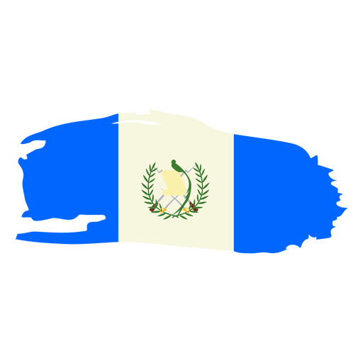
Guatemala brushy flag design PNG Design
Choose a folder
All favorites
Create new
Save
Guatemala brushy flag design PNG Design
Square root symbol doodle PNG Design
Choose a folder
All favorites
Create new
Save
Square root symbol doodle PNG Design
Brown venus simple solar system planet PNG Design
Choose a folder
All favorites
Create new
Save
Brown venus simple solar system planet PNG Design
Planet earth illustration earth PNG Design
Choose a folder
All favorites
Create new
Save
Planet earth illustration earth PNG Design
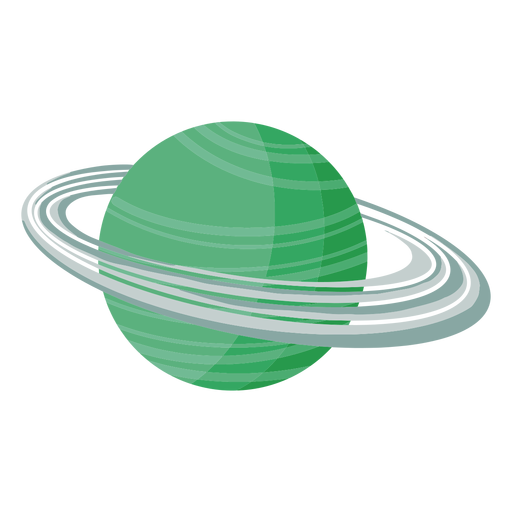
Uranus planet illustration PNG Design
Choose a folder
All favorites
Create new
Save
Uranus planet illustration PNG Design
Cute south korean man with hanbok character PNG Design
Choose a folder
All favorites
Create new
Save
Cute south korean man with hanbok character PNG Design
Premium
Earth globe illustration PNG Design
Choose a folder
All favorites
Create new
Save
Earth globe illustration PNG Design
Premium
Earth hand drawn icon PNG Design
Choose a folder
All favorites
Create new
Save
Earth hand drawn icon PNG Design
Premium
Earth recycle icon PNG Design
Choose a folder
All favorites
Create new
Save
Earth recycle icon PNG Design
Premium
Green earth hand drawn icon PNG Design
Choose a folder
All favorites
Create new
Save
Green earth hand drawn icon PNG Design
Premium
Tasmania state map PNG Design
Choose a folder
All favorites
Create new
Save
Tasmania state map PNG Design
Premium
Russia flag badge PNG Design
Choose a folder
All favorites
Create new
Save
Russia flag badge PNG Design
Premium
World round icon PNG Design
Choose a folder
All favorites
Create new
Save
World round icon PNG Design
Premium
Micronesia federated states national flag PNG Design
Choose a folder
All favorites
Create new
Save
Micronesia federated states national flag PNG Design
Premium
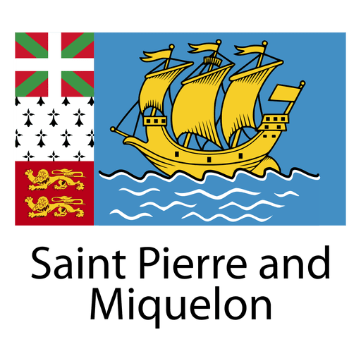
Saint pierre and miquelon national flag PNG Design
Choose a folder
All favorites
Create new
Save
Saint pierre and miquelon national flag PNG Design
Premium
Exclamation sign PNG Design
Choose a folder
All favorites
Create new
Save
Exclamation sign PNG Design
Premium
Skeleton holding a cup of coffee with the words coffee keeps me going PNG Design
Choose a folder
All favorites
Create new
Save
Skeleton holding a cup of coffee with the words coffee keeps me going PNG Design
Delaware color stroke states PNG Design
Choose a folder
All favorites
Create new
Save
Delaware color stroke states PNG Design
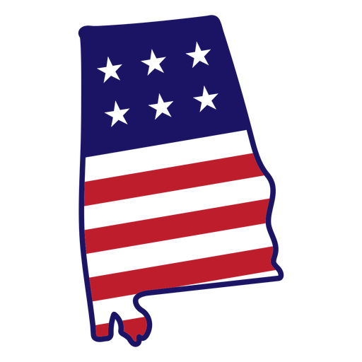
Alabama map color stroke PNG Design
Choose a folder
All favorites
Create new
Save
Alabama map color stroke PNG Design
Mexico map silhouette mandala cut out PNG Design
Choose a folder
All favorites
Create new
Save
Mexico map silhouette mandala cut out PNG Design
Switzerland map silhouette mandala stroke PNG Design
Choose a folder
All favorites
Create new
Save
Switzerland map silhouette mandala stroke PNG Design
Normalize going to therapy badge PNG Design
Choose a folder
All favorites
Create new
Save
Normalize going to therapy badge PNG Design
Pink letter J mandala alphabet PNG Design
Choose a folder
All favorites
Create new
Save
Pink letter J mandala alphabet PNG Design
Pink letter S mandala stroke PNG Design
Choose a folder
All favorites
Create new
Save
Pink letter S mandala stroke PNG Design
Pink letter P mandala stroke PNG Design
Choose a folder
All favorites
Create new
Save
Pink letter P mandala stroke PNG Design
Pink letter M mandala stroke PNG Design
Choose a folder
All favorites
Create new
Save
Pink letter M mandala stroke PNG Design
Spell jar stroke PNG Design
Choose a folder
All favorites
Create new
Save
Spell jar stroke PNG Design
Magic keys textured PNG Design
Choose a folder
All favorites
Create new
Save
Magic keys textured PNG Design
Open eye front stroke PNG Design
Choose a folder
All favorites
Create new
Save
Open eye front stroke PNG Design
Subscribe
To Get High-Quality Commercial Use Designs For Your Business
SEE PLANS
Next
of 98
prev page
next page