Design Library
New Merch Designs
T-Shirts
Vectors
Trending Merch Designs
PNGs & SVGs
Mockups
T-Shirt PSD Templates
Explore Designs
KDP Designs
Posters
Mugs
Phone Cases
Tote Bags
Pillows
Design Tools
Merch Designer
New!
Mockup Generator
AI Design Generator
Image Vectorizer
Quote Generator
T-Shirt Maker (Old)
Resources
Merch Digest
Blog
Help Center
Learn About Merch
Feedback
Corporate Solutions
Enterprise
API Access
Design Studio
Bulk Design Production
Pricing
Loading...
Sign Up
Login
PNG
maps
Design Library
New Merch Designs
T-Shirts
Vectors
Trending Merch Designs
PNGs & SVGs
Mockups
T-Shirt PSD Templates
Explore Designs
KDP Designs
Posters
Mugs
Phone Cases
Tote Bags
Pillows
Design Tools
Merch Designer
New!
Mockup Generator
AI Design Generator
Image Vectorizer
Quote Generator
T-Shirt Maker (Old)
Resources
Merch Digest
Blog
Help Center
Learn About Merch
Feedback
Corporate Solutions
Enterprise
API Access
Design Studio
Bulk Design Production
PLANS
PNG
maps
4890 maps PNG and SVG Editable Vectors
Download editable maps PNG and SVG Vectors with transparent background.
Related:
world maps
,
base maps
,
world livestock maps
Sort by
Most relevant
Sponsored results by
Get 15% off with code: VEXELS15
Show more
Heart with brain stroke PNG Design
Choose a folder
All favorites
Create new
Save
Heart with brain stroke PNG Design
Pink letter B mandala PNG Design
Choose a folder
All favorites
Create new
Save
Pink letter B mandala PNG Design
Pink number four mandala stroke PNG Design
Choose a folder
All favorites
Create new
Save
Pink number four mandala stroke PNG Design
Arcade retro cartoon PNG Design
Choose a folder
All favorites
Create new
Save
Arcade retro cartoon PNG Design
Sunshine cut out PNG Design
Choose a folder
All favorites
Create new
Save
Sunshine cut out PNG Design
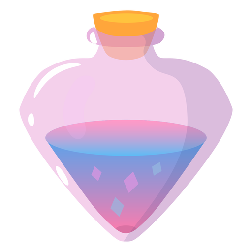
Fantasy magical potion PNG Design
Choose a folder
All favorites
Create new
Save
Fantasy magical potion PNG Design
Beach chairs cut out PNG Design
Choose a folder
All favorites
Create new
Save
Beach chairs cut out PNG Design
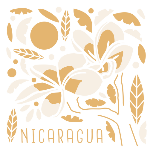
Sacuanjoche flower nicaragua composition PNG Design
Choose a folder
All favorites
Create new
Save
Sacuanjoche flower nicaragua composition PNG Design
Usa fireworks flat PNG Design
Choose a folder
All favorites
Create new
Save
Usa fireworks flat PNG Design
Lavender flower in black PNG Design
Choose a folder
All favorites
Create new
Save
Lavender flower in black PNG Design
Square root 64 stroke PNG Design
Choose a folder
All favorites
Create new
Save
Square root 64 stroke PNG Design
Premium
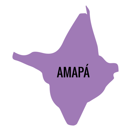
Amapa state map PNG Design
Choose a folder
All favorites
Create new
Save
Amapa state map PNG Design
Premium
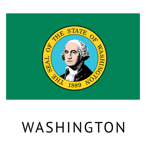
Washington state flag PNG Design
Choose a folder
All favorites
Create new
Save
Washington state flag PNG Design
Premium
Map location pin icon PNG Design
Choose a folder
All favorites
Create new
Save
Map location pin icon PNG Design
Premium
Korea north national flag PNG Design
Choose a folder
All favorites
Create new
Save
Korea north national flag PNG Design
Water day globe icon PNG Design
Choose a folder
All favorites
Create new
Save
Water day globe icon PNG Design
Ohio color stroke states PNG Design
Choose a folder
All favorites
Create new
Save
Ohio color stroke states PNG Design
South Dakota usa map silhouette PNG Design
Choose a folder
All favorites
Create new
Save
South Dakota usa map silhouette PNG Design
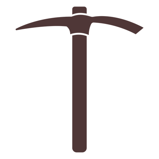
Tool pick cut out PNG Design
Choose a folder
All favorites
Create new
Save
Tool pick cut out PNG Design
Rolling pin silhouette PNG Design
Choose a folder
All favorites
Create new
Save
Rolling pin silhouette PNG Design
Gardening scissors cut out PNG Design
Choose a folder
All favorites
Create new
Save
Gardening scissors cut out PNG Design
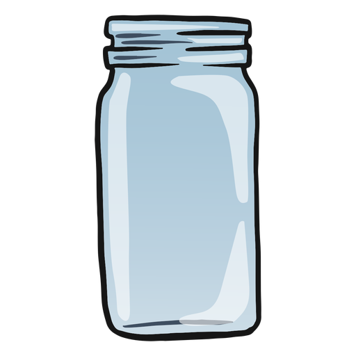
Empty glass jar color stroke PNG Design
Choose a folder
All favorites
Create new
Save
Empty glass jar color stroke PNG Design
Orange book open semi flat PNG Design
Choose a folder
All favorites
Create new
Save
Orange book open semi flat PNG Design
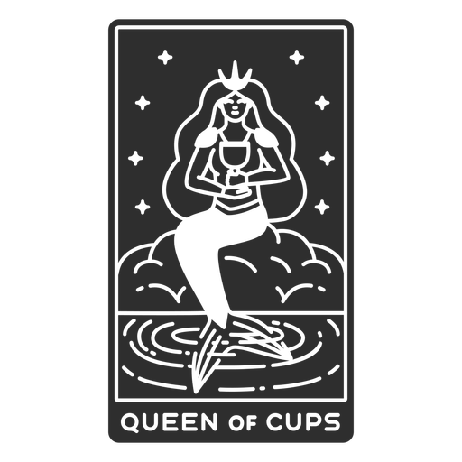
Tarot card queen of cups cut out PNG Design
Choose a folder
All favorites
Create new
Save
Tarot card queen of cups cut out PNG Design
Simple constellation geometric stroke PNG Design
Choose a folder
All favorites
Create new
Save
Simple constellation geometric stroke PNG Design
Open bible with cross color stroke PNG Design
Choose a folder
All favorites
Create new
Save
Open bible with cross color stroke PNG Design
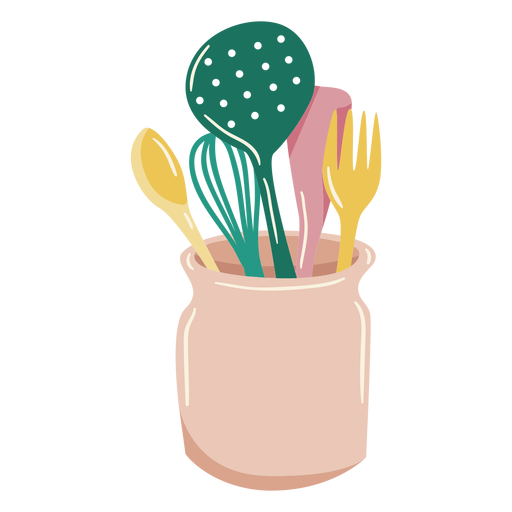
Cooking elements glossy PNG Design
Choose a folder
All favorites
Create new
Save
Cooking elements glossy PNG Design
Premium
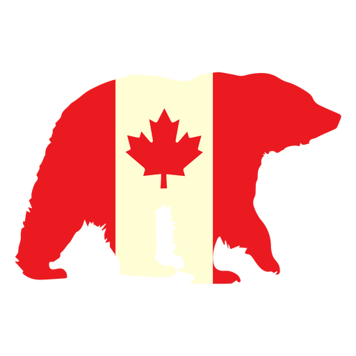
Bear with canada flag flat PNG Design
Choose a folder
All favorites
Create new
Save
Bear with canada flag flat PNG Design
Cake badge sticker PNG Design
Choose a folder
All favorites
Create new
Save
Cake badge sticker PNG Design
Premium
Mexico city state map PNG Design
Choose a folder
All favorites
Create new
Save
Mexico city state map PNG Design
Premium
Blue stripes globe icon PNG Design
Choose a folder
All favorites
Create new
Save
Blue stripes globe icon PNG Design
Premium
Porthole window view PNG Design
Choose a folder
All favorites
Create new
Save
Porthole window view PNG Design
Premium
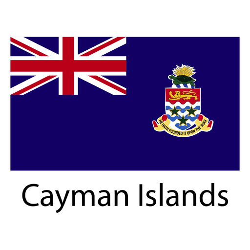
Cayman islands national flag PNG Design
Choose a folder
All favorites
Create new
Save
Cayman islands national flag PNG Design
Map travel kit icon PNG Design
Choose a folder
All favorites
Create new
Save
Map travel kit icon PNG Design
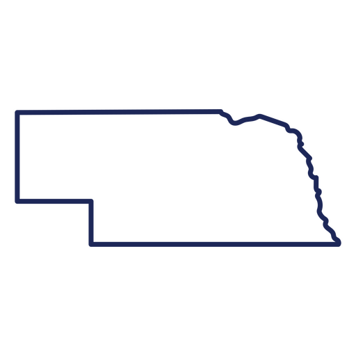
Nebraska state stroke map PNG Design
Choose a folder
All favorites
Create new
Save
Nebraska state stroke map PNG Design
Brain hearts color stroke PNG Design
Choose a folder
All favorites
Create new
Save
Brain hearts color stroke PNG Design
Antique knife and fork filled stroke PNG Design
Choose a folder
All favorites
Create new
Save
Antique knife and fork filled stroke PNG Design
Alarm hand drawn PNG Design
Choose a folder
All favorites
Create new
Save
Alarm hand drawn PNG Design
Galaxy geometric stroke element PNG Design
Choose a folder
All favorites
Create new
Save
Galaxy geometric stroke element PNG Design
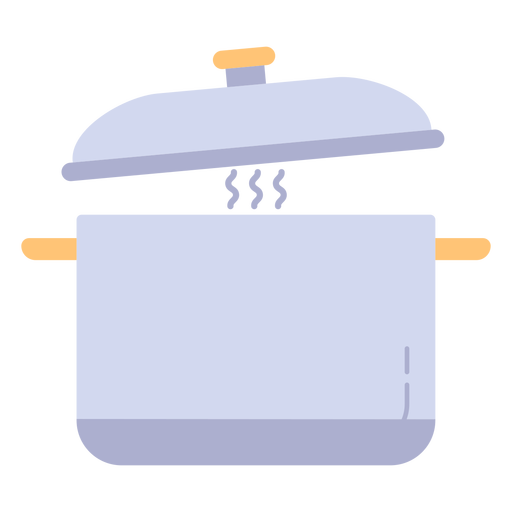
Cooking pot kitchen utensil PNG Design
Choose a folder
All favorites
Create new
Save
Cooking pot kitchen utensil PNG Design
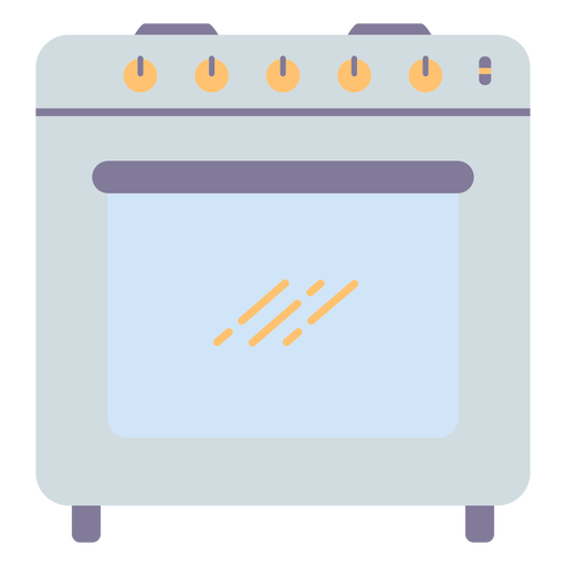
Kitchen oven cooking PNG Design
Choose a folder
All favorites
Create new
Save
Kitchen oven cooking PNG Design
Bathroom shower flat PNG Design
Choose a folder
All favorites
Create new
Save
Bathroom shower flat PNG Design
Papers with clip stroke PNG Design
Choose a folder
All favorites
Create new
Save
Papers with clip stroke PNG Design
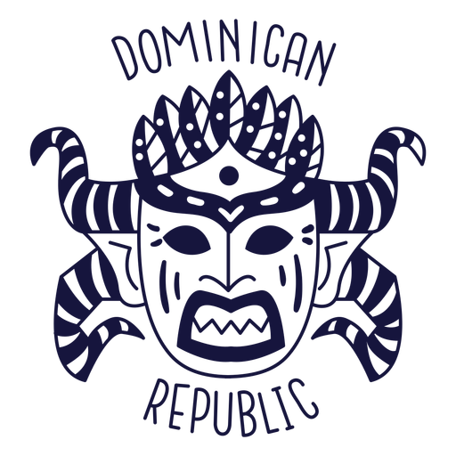
Carnival dominican republic monochrome doodle PNG Design
Choose a folder
All favorites
Create new
Save
Carnival dominican republic monochrome doodle PNG Design
Toilet colorful icon PNG Design
Choose a folder
All favorites
Create new
Save
Toilet colorful icon PNG Design
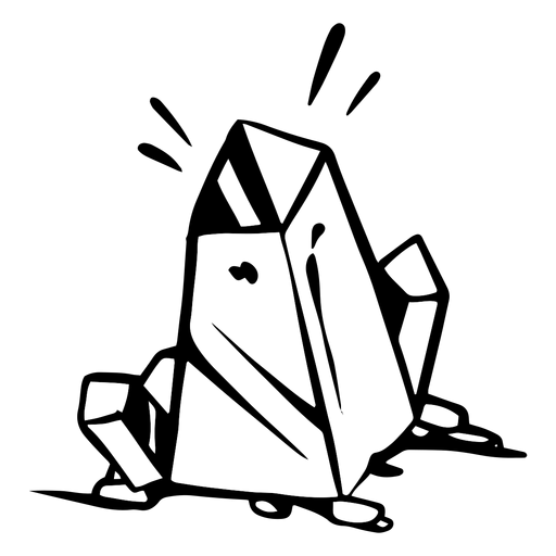
Earth crystal silhouette PNG Design
Choose a folder
All favorites
Create new
Save
Earth crystal silhouette PNG Design
Premium
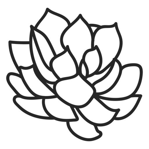
Plants succulents colorless illustration PNG Design
Choose a folder
All favorites
Create new
Save
Plants succulents colorless illustration PNG Design
Premium
Planet earth globe america africa flat PNG Design
Choose a folder
All favorites
Create new
Save
Planet earth globe america africa flat PNG Design
Premium
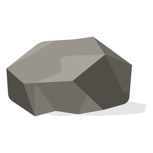
Flat stone illustration PNG Design
Choose a folder
All favorites
Create new
Save
Flat stone illustration PNG Design
Premium
Netherlands flag badge PNG Design
Choose a folder
All favorites
Create new
Save
Netherlands flag badge PNG Design
Subscribe
To Get High-Quality Commercial Use Designs For Your Business
SEE PLANS
Next
of 98
prev page
next page