Design Library
New Merch Designs
T-Shirts
Vectors
Trending Merch Designs
PNGs & SVGs
Mockups
T-Shirt PSD Templates
Explore Designs
KDP Designs
Posters
Mugs
Phone Cases
Tote Bags
Pillows
Design Tools
Merch Designer
New!
Mockup Generator
AI Design Generator
Image Vectorizer
Quote Generator
T-Shirt Maker (Old)
Resources
Merch Digest
Blog
Help Center
Learn About Merch
Feedback
Corporate Solutions
Enterprise
API Access
Design Studio
Bulk Design Production
Pricing
Loading...
Sign Up
Login
PNG
maps
Design Library
New Merch Designs
T-Shirts
Vectors
Trending Merch Designs
PNGs & SVGs
Mockups
T-Shirt PSD Templates
Explore Designs
KDP Designs
Posters
Mugs
Phone Cases
Tote Bags
Pillows
Design Tools
Merch Designer
New!
Mockup Generator
AI Design Generator
Image Vectorizer
Quote Generator
T-Shirt Maker (Old)
Resources
Merch Digest
Blog
Help Center
Learn About Merch
Feedback
Corporate Solutions
Enterprise
API Access
Design Studio
Bulk Design Production
PLANS
PNG
maps
4899 maps PNG and SVG Editable Vectors
Download editable maps PNG and SVG Vectors with transparent background.
Related:
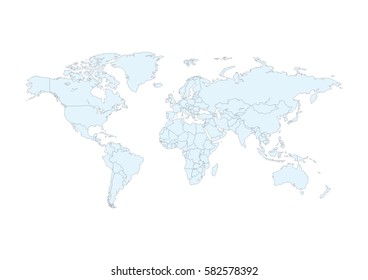
world maps
,
base maps
,
world livestock maps
Sort by
Most relevant
Sponsored results by
Get 15% off with code: VEXELS15
Show more
Premium
Classic cupcake illustration PNG Design
Choose a folder
All favorites
Create new
Save
Classic cupcake illustration PNG Design
Premium
Pirate halloween costume cartoon PNG Design
Choose a folder
All favorites
Create new
Save
Pirate halloween costume cartoon PNG Design
Premium
Colombia flag badge PNG Design
Choose a folder
All favorites
Create new
Save
Colombia flag badge PNG Design
Premium
Location map icon PNG Design
Choose a folder
All favorites
Create new
Save
Location map icon PNG Design
Premium
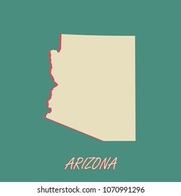
The new york state is shown in brown PNG Design
Choose a folder
All favorites
Create new
Save
The new york state is shown in brown PNG Design
Pink letter S mandala PNG Design
Choose a folder
All favorites
Create new
Save
Pink letter S mandala PNG Design
Knight's armor color stroke PNG Design
Choose a folder
All favorites
Create new
Save
Knight's armor color stroke PNG Design
Blue sword cut out PNG Design
Choose a folder
All favorites
Create new
Save
Blue sword cut out PNG Design
Tarot card the magician cut out PNG Design
Choose a folder
All favorites
Create new
Save
Tarot card the magician cut out PNG Design
Lighthouse ocean building PNG Design
Choose a folder
All favorites
Create new
Save
Lighthouse ocean building PNG Design
Premium
Brushstroke canada flag flat PNG Design
Choose a folder
All favorites
Create new
Save
Brushstroke canada flag flat PNG Design
Zodiac badge planet libra stroke PNG Design
Choose a folder
All favorites
Create new
Save
Zodiac badge planet libra stroke PNG Design
Zodiac badge planet scorpio stroke PNG Design
Choose a folder
All favorites
Create new
Save
Zodiac badge planet scorpio stroke PNG Design
Premium
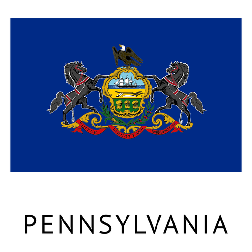
Pennsylvania state flag PNG Design
Choose a folder
All favorites
Create new
Save
Pennsylvania state flag PNG Design
Premium
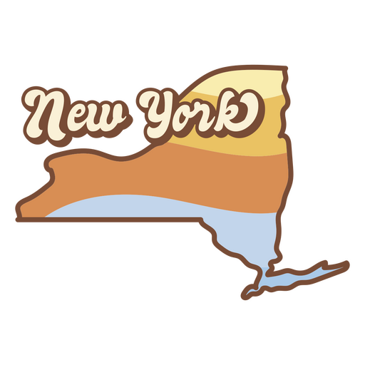
New york state map with a sunset in the background PNG Design
Choose a folder
All favorites
Create new
Save
New york state map with a sunset in the background PNG Design
Premium
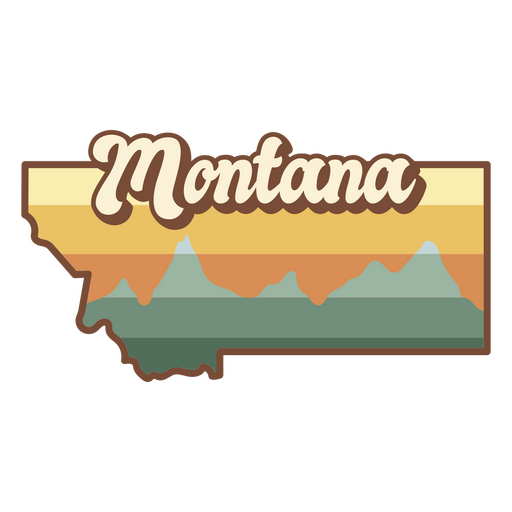
Montana state sticker PNG Design
Choose a folder
All favorites
Create new
Save
Montana state sticker PNG Design
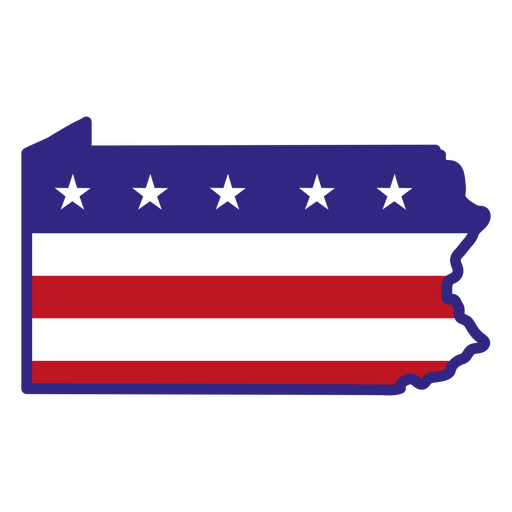
Pennsylvania color stroke states PNG Design
Choose a folder
All favorites
Create new
Save
Pennsylvania color stroke states PNG Design
Armor's helmet color stroke PNG Design
Choose a folder
All favorites
Create new
Save
Armor's helmet color stroke PNG Design
Magic potion round bottle PNG Design
Choose a folder
All favorites
Create new
Save
Magic potion round bottle PNG Design
Christmas wreath bow design illustration PNG Design
Choose a folder
All favorites
Create new
Save
Christmas wreath bow design illustration PNG Design
Location icon isometric PNG Design
Choose a folder
All favorites
Create new
Save
Location icon isometric PNG Design
Premium
Woman volleyball player silhouette PNG Design
Choose a folder
All favorites
Create new
Save
Woman volleyball player silhouette PNG Design
Premium
Rock boulder illustration PNG Design
Choose a folder
All favorites
Create new
Save
Rock boulder illustration PNG Design
Premium
Blue stripes orbit icon PNG Design
Choose a folder
All favorites
Create new
Save
Blue stripes orbit icon PNG Design
Premium
Iran flag badge PNG Design
Choose a folder
All favorites
Create new
Save
Iran flag badge PNG Design
Premium
Germany flag badge PNG Design
Choose a folder
All favorites
Create new
Save
Germany flag badge PNG Design
Pink letter E mandala PNG Design
Choose a folder
All favorites
Create new
Save
Pink letter E mandala PNG Design
Tarot card king of cups filled stroke PNG Design
Choose a folder
All favorites
Create new
Save
Tarot card king of cups filled stroke PNG Design
$25 money label cut out PNG Design
Choose a folder
All favorites
Create new
Save
$25 money label cut out PNG Design
Honduras horchata stroke PNG Design
Choose a folder
All favorites
Create new
Save
Honduras horchata stroke PNG Design
Scarlet macaw honduras element PNG Design
Choose a folder
All favorites
Create new
Save
Scarlet macaw honduras element PNG Design
Premium
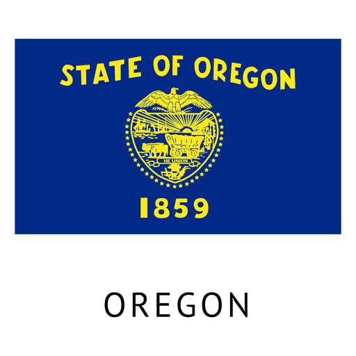
Oregon state flag PNG Design
Choose a folder
All favorites
Create new
Save
Oregon state flag PNG Design
Premium
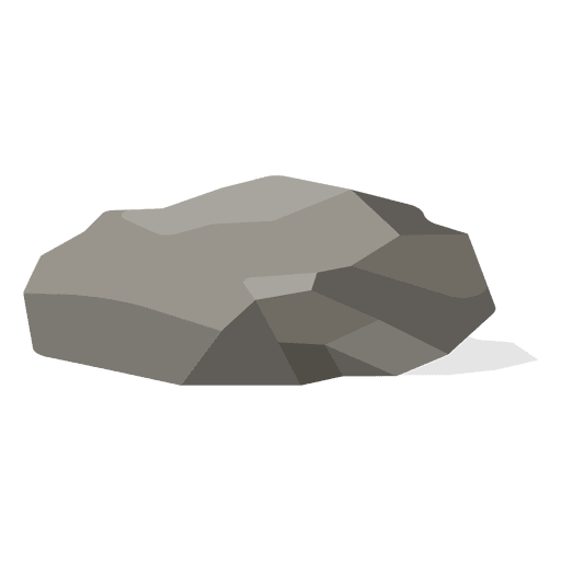
Rubble rock illustration PNG Design
Choose a folder
All favorites
Create new
Save
Rubble rock illustration PNG Design
Premium
Balloons hot air flight PNG Design
Choose a folder
All favorites
Create new
Save
Balloons hot air flight PNG Design
Premium
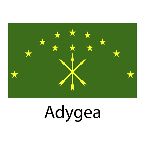
Adygea national flag PNG Design
Choose a folder
All favorites
Create new
Save
Adygea national flag PNG Design
Premium
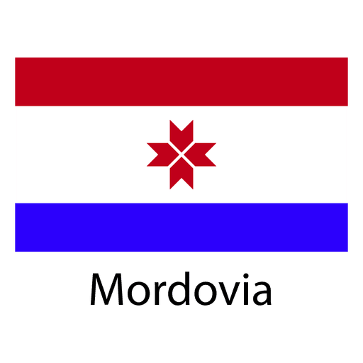
Mordovia national flag PNG Design
Choose a folder
All favorites
Create new
Save
Mordovia national flag PNG Design
Business growth diagram PNG Design
Choose a folder
All favorites
Create new
Save
Business growth diagram PNG Design
Premium
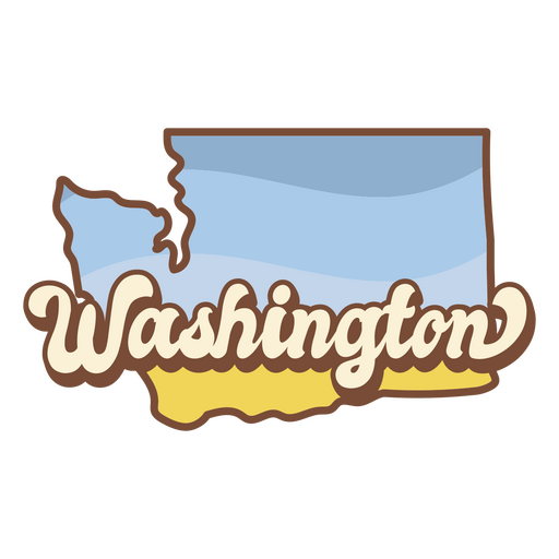
Washington state map with the word washington on it PNG Design
Choose a folder
All favorites
Create new
Save
Washington state map with the word washington on it PNG Design
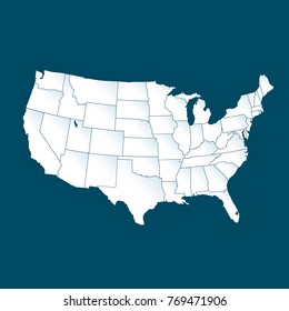
New Mexico usa map silhouette PNG Design
Choose a folder
All favorites
Create new
Save
New Mexico usa map silhouette PNG Design
Merica cut out badge PNG Design
Choose a folder
All favorites
Create new
Save
Merica cut out badge PNG Design
Earth globe colorful icon stroke PNG Design
Choose a folder
All favorites
Create new
Save
Earth globe colorful icon stroke PNG Design
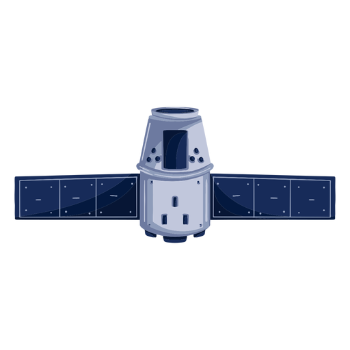
Space artificial satellite illustration PNG Design
Choose a folder
All favorites
Create new
Save
Space artificial satellite illustration PNG Design
Premium
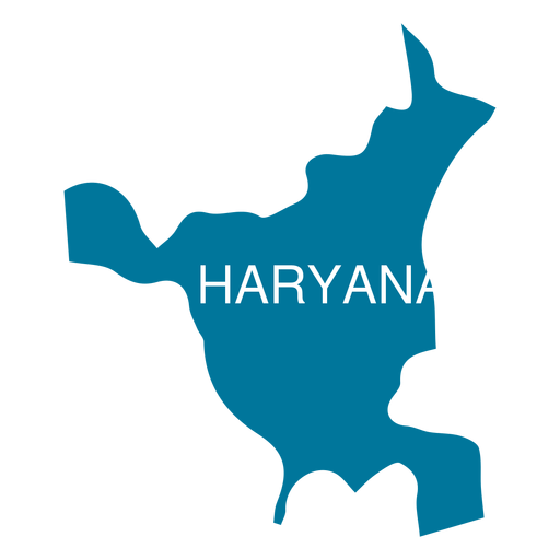
Haryana state map PNG Design
Choose a folder
All favorites
Create new
Save
Haryana state map PNG Design
Premium
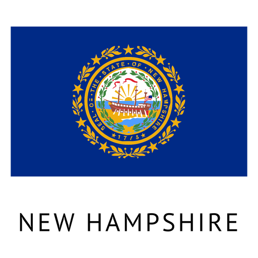
New hampshire state flag PNG Design
Choose a folder
All favorites
Create new
Save
New hampshire state flag PNG Design
Premium
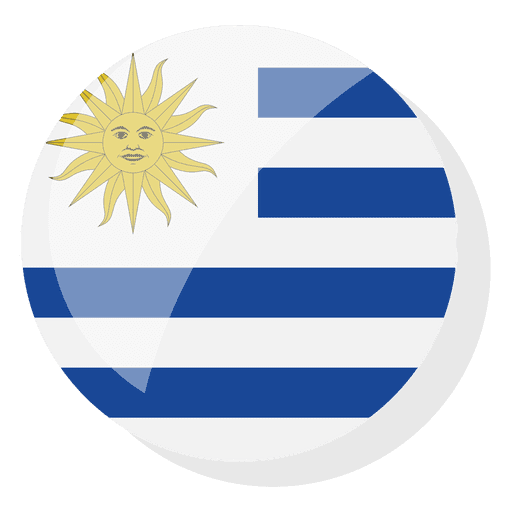
Flag country uruguay PNG Design
Choose a folder
All favorites
Create new
Save
Flag country uruguay PNG Design
Premium
Cannon artillery Arms PNG Design
Choose a folder
All favorites
Create new
Save
Cannon artillery Arms PNG Design
Premium
Various 11.svg PNG Design
Choose a folder
All favorites
Create new
Save
Various 11.svg PNG Design
Happy mind stroke PNG Design
Choose a folder
All favorites
Create new
Save
Happy mind stroke PNG Design
Pink number one mandala PNG Design
Choose a folder
All favorites
Create new
Save
Pink number one mandala PNG Design
Embrace your neurodiversity badge PNG Design
Choose a folder
All favorites
Create new
Save
Embrace your neurodiversity badge PNG Design
Subscribe
To Get High-Quality Commercial Use Designs For Your Business
SEE PLANS
Next
of 98
prev page
next page