Design Library
New Merch Designs
T-Shirts
Vectors
Trending Merch Designs
PNGs & SVGs
Mockups
T-Shirt PSD Templates
Explore Designs
KDP Designs
Posters
Mugs
Phone Cases
Tote Bags
Pillows
Design Tools
Merch Designer
New!
Mockup Generator
AI Design Generator
Image Vectorizer
Quote Generator
T-Shirt Maker (Old)
Resources
Merch Digest
Blog
Help Center
Learn About Merch
Feedback
Corporate Solutions
Enterprise
API Access
Design Studio
Bulk Design Production
Pricing
Loading...
Sign Up
Login
PNG
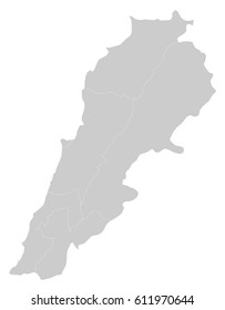
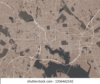
maps
Design Library
New Merch Designs
T-Shirts
Vectors
Trending Merch Designs
PNGs & SVGs
Mockups
T-Shirt PSD Templates
Explore Designs
KDP Designs
Posters
Mugs
Phone Cases
Tote Bags
Pillows
Design Tools
Merch Designer
New!
Mockup Generator
AI Design Generator
Image Vectorizer
Quote Generator
T-Shirt Maker (Old)
Resources
Merch Digest
Blog
Help Center
Learn About Merch
Feedback
Corporate Solutions
Enterprise
API Access
Design Studio
Bulk Design Production
PLANS
PNG
maps
4899 maps PNG and SVG Editable Vectors
Download editable maps PNG and SVG Vectors with transparent background.
Related:
world maps
,
base maps
,
world livestock maps
Sort by
Most relevant
Sponsored results by
Get 15% off with code: VEXELS15
Show more
Premium
Antigua and barbuda national flag PNG Design
Choose a folder
All favorites
Create new
Save
Antigua and barbuda national flag PNG Design
Premium
Congo democratic republic national flag PNG Design
Choose a folder
All favorites
Create new
Save
Congo democratic republic national flag PNG Design
Premium
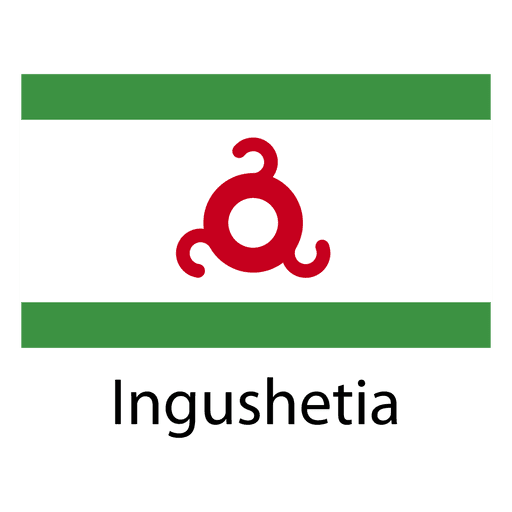
Ingushetia national flag PNG Design
Choose a folder
All favorites
Create new
Save
Ingushetia national flag PNG Design
Premium
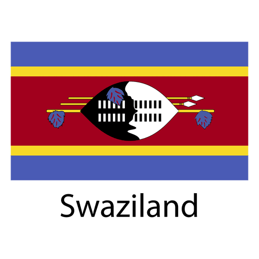
Swaziland national flag PNG Design
Choose a folder
All favorites
Create new
Save
Swaziland national flag PNG Design
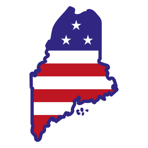
Maine color stroke states PNG Design
Choose a folder
All favorites
Create new
Save
Maine color stroke states PNG Design
Indiana color stroke states PNG Design
Choose a folder
All favorites
Create new
Save
Indiana color stroke states PNG Design
South Carolina state stroke map PNG Design
Choose a folder
All favorites
Create new
Save
South Carolina state stroke map PNG Design
Pink letter O mandala alphabet PNG Design
Choose a folder
All favorites
Create new
Save
Pink letter O mandala alphabet PNG Design
Wizard hat with stars stroke PNG Design
Choose a folder
All favorites
Create new
Save
Wizard hat with stars stroke PNG Design
Premium
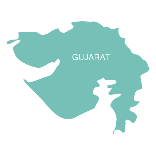
Gujarat state map PNG Design
Choose a folder
All favorites
Create new
Save
Gujarat state map PNG Design
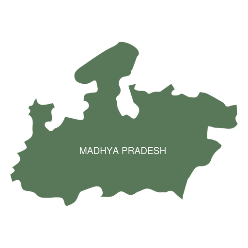
Premium
Madhya pradesh state map PNG Design
Choose a folder
All favorites
Create new
Save
Madhya pradesh state map PNG Design
Premium
Geoscience globe icon PNG Design
Choose a folder
All favorites
Create new
Save
Geoscience globe icon PNG Design
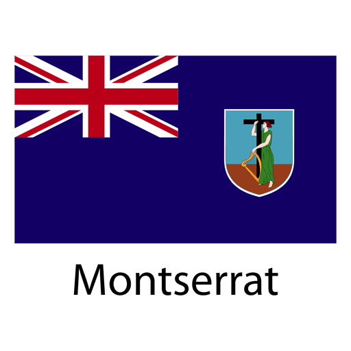
Premium
Montserrat national flag PNG Design
Choose a folder
All favorites
Create new
Save
Montserrat national flag PNG Design
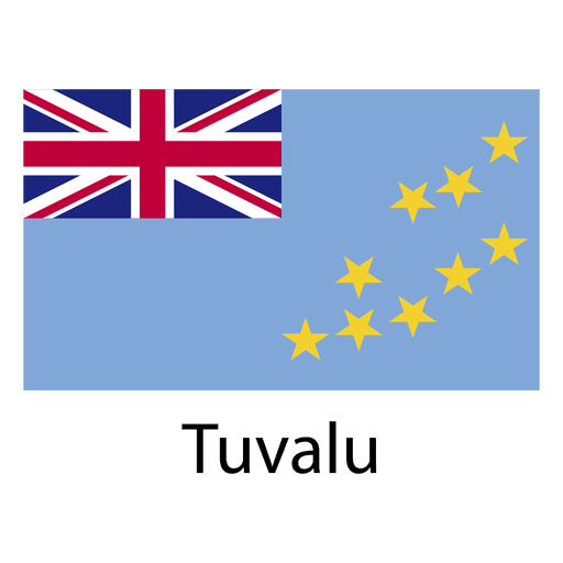
Premium
Tuvalu national flag PNG Design
Choose a folder
All favorites
Create new
Save
Tuvalu national flag PNG Design
Premium
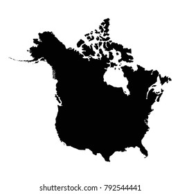
North america continental map PNG Design
Choose a folder
All favorites
Create new
Save
North america continental map PNG Design
Premium
Pirate hat with a skull and feathers PNG Design
Choose a folder
All favorites
Create new
Save
Pirate hat with a skull and feathers PNG Design
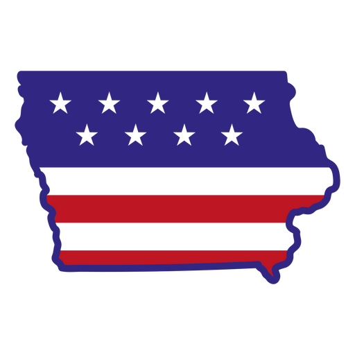
Iowa color stroke states PNG Design
Choose a folder
All favorites
Create new
Save
Iowa color stroke states PNG Design
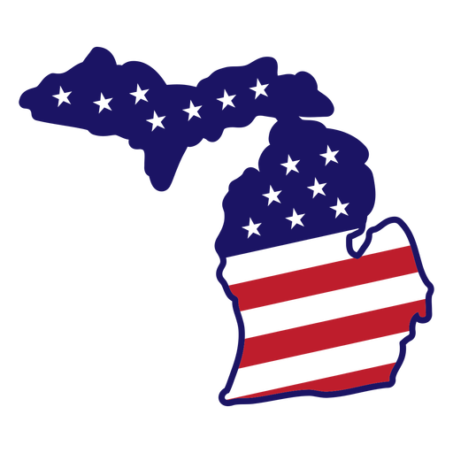
Michigan map color stroke PNG Design
Choose a folder
All favorites
Create new
Save
Michigan map color stroke PNG Design
Pink letter P mandala PNG Design
Choose a folder
All favorites
Create new
Save
Pink letter P mandala PNG Design
Tarot card hierophant cut out PNG Design
Choose a folder
All favorites
Create new
Save
Tarot card hierophant cut out PNG Design
Happy snowflake filled stroke PNG Design
Choose a folder
All favorites
Create new
Save
Happy snowflake filled stroke PNG Design
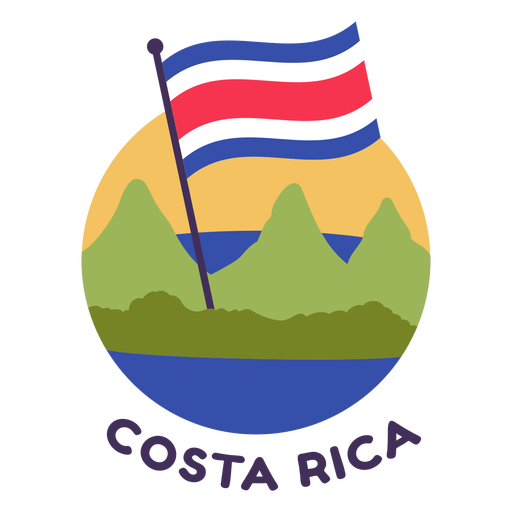
Costa rica flag flat PNG Design
Choose a folder
All favorites
Create new
Save
Costa rica flag flat PNG Design
Premium
Wagon wheel cut out icon PNG Design
Choose a folder
All favorites
Create new
Save
Wagon wheel cut out icon PNG Design
Premium
Acre state map PNG Design
Choose a folder
All favorites
Create new
Save
Acre state map PNG Design
Premium
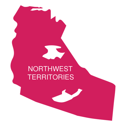
Northwest territories territory map PNG Design
Choose a folder
All favorites
Create new
Save
Northwest territories territory map PNG Design
Premium
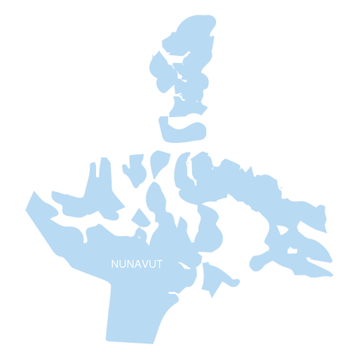
Nunavut territory map PNG Design
Choose a folder
All favorites
Create new
Save
Nunavut territory map PNG Design
Premium
Building city houseflat landscape home.svg PNG Design
Choose a folder
All favorites
Create new
Save
Building city houseflat landscape home.svg PNG Design
Brains color stroke PNG Design
Choose a folder
All favorites
Create new
Save
Brains color stroke PNG Design
Pink letter R mandala stroke PNG Design
Choose a folder
All favorites
Create new
Save
Pink letter R mandala stroke PNG Design
Closed bible color stroke PNG Design
Choose a folder
All favorites
Create new
Save
Closed bible color stroke PNG Design
Race flag flat PNG Design
Choose a folder
All favorites
Create new
Save
Race flag flat PNG Design
Dominican republic brushy flag design PNG Design
Choose a folder
All favorites
Create new
Save
Dominican republic brushy flag design PNG Design
Zodiac badge planet capricorn stroke PNG Design
Choose a folder
All favorites
Create new
Save
Zodiac badge planet capricorn stroke PNG Design
Australia blue heart PNG Design
Choose a folder
All favorites
Create new
Save
Australia blue heart PNG Design
Premium
God aztec mictlantecuhtli aztec PNG Design
Choose a folder
All favorites
Create new
Save
God aztec mictlantecuhtli aztec PNG Design
Premium
Planet saturn orbit celestial body stroke PNG Design
Choose a folder
All favorites
Create new
Save
Planet saturn orbit celestial body stroke PNG Design
Premium
Espirito santo state map PNG Design
Choose a folder
All favorites
Create new
Save
Espirito santo state map PNG Design
Premium
Rondonia state map PNG Design
Choose a folder
All favorites
Create new
Save
Rondonia state map PNG Design
Premium
Green stripes orbit icon PNG Design
Choose a folder
All favorites
Create new
Save
Green stripes orbit icon PNG Design
Premium
Digestive system Food digestion human body PNG Design
Choose a folder
All favorites
Create new
Save
Digestive system Food digestion human body PNG Design
Premium
Nauru national flag PNG Design
Choose a folder
All favorites
Create new
Save
Nauru national flag PNG Design
Premium
Man sign continental world map PNG Design
Choose a folder
All favorites
Create new
Save
Man sign continental world map PNG Design
Premium
Happy birthday to you in pink lettering PNG Design
Choose a folder
All favorites
Create new
Save
Happy birthday to you in pink lettering PNG Design
Premium
The word tennessee in brown PNG Design
Choose a folder
All favorites
Create new
Save
The word tennessee in brown PNG Design
Persons brain stroke PNG Design
Choose a folder
All favorites
Create new
Save
Persons brain stroke PNG Design
Anchor with rope thin stroke PNG Design
Choose a folder
All favorites
Create new
Save
Anchor with rope thin stroke PNG Design
Simple sun doodle PNG Design
Choose a folder
All favorites
Create new
Save
Simple sun doodle PNG Design
Tikal guatemala flat PNG Design
Choose a folder
All favorites
Create new
Save
Tikal guatemala flat PNG Design
Zodiac badge planet aries stroke PNG Design
Choose a folder
All favorites
Create new
Save
Zodiac badge planet aries stroke PNG Design
Zodiac badge planet gemini stroke PNG Design
Choose a folder
All favorites
Create new
Save
Zodiac badge planet gemini stroke PNG Design
Subscribe
To Get High-Quality Commercial Use Designs For Your Business
SEE PLANS
Next
of 98
prev page
next page