Design Library
New Merch Designs
T-Shirts
Vectors
Trending Merch Designs
PNGs & SVGs
Mockups
T-Shirt PSD Templates
Explore Designs
KDP Designs
Posters
Mugs
Phone Cases
Tote Bags
Pillows
Design Tools
Merch Designer
New!
Mockup Generator
AI Design Generator
Image Vectorizer
Quote Generator
T-Shirt Maker (Old)
Resources
Merch Digest
Blog
Help Center
Learn About Merch
Feedback
Corporate Solutions
Enterprise
API Access
Design Studio
Bulk Design Production
Pricing
Loading...
Sign Up
Login
PNG
maps
Design Library
New Merch Designs
T-Shirts
Vectors
Trending Merch Designs
PNGs & SVGs
Mockups
T-Shirt PSD Templates
Explore Designs
KDP Designs
Posters
Mugs
Phone Cases
Tote Bags
Pillows
Design Tools
Merch Designer
New!
Mockup Generator
AI Design Generator
Image Vectorizer
Quote Generator
T-Shirt Maker (Old)
Resources
Merch Digest
Blog
Help Center
Learn About Merch
Feedback
Corporate Solutions
Enterprise
API Access
Design Studio
Bulk Design Production
PLANS
PNG
maps
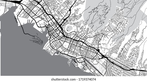
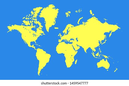
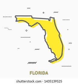
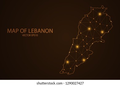
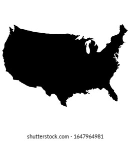
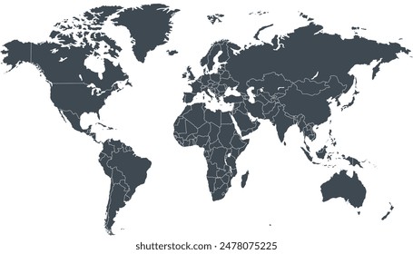
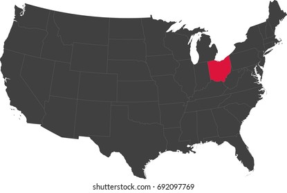
4899 maps PNG and SVG Editable Vectors
Download editable maps PNG and SVG Vectors with transparent background.
Related:
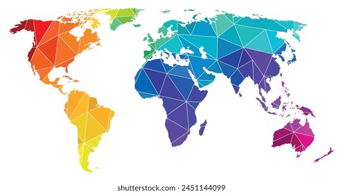
world maps
,
base maps
,
world livestock maps
Sort by
Most relevant
Sponsored results by
Get 15% off with code: VEXELS15
Show more
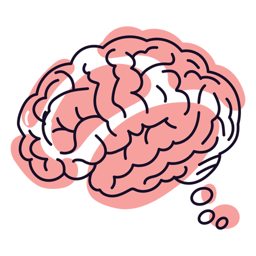
Brain dream stroke PNG Design
Choose a folder
All favorites
Create new
Save
Brain dream stroke PNG Design
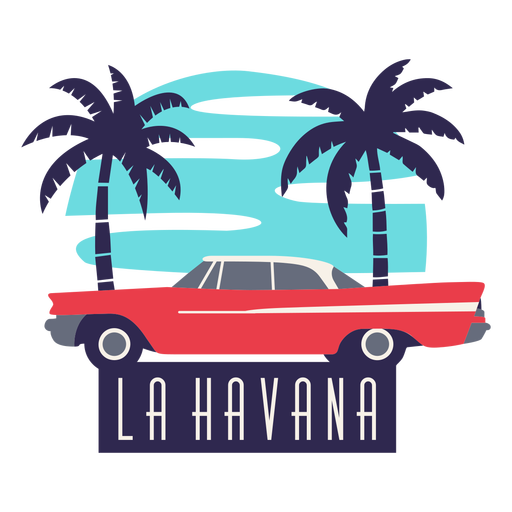
La havana traditional car flat design PNG Design
Choose a folder
All favorites
Create new
Save
La havana traditional car flat design PNG Design
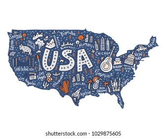
Usa flag in country map flat PNG Design
Choose a folder
All favorites
Create new
Save
Usa flag in country map flat PNG Design
Premium
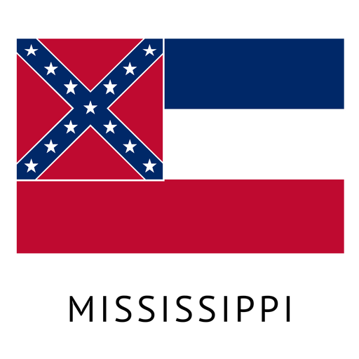
Mississippi state flag PNG Design
Choose a folder
All favorites
Create new
Save
Mississippi state flag PNG Design
Premium
Belgium flag badge PNG Design
Choose a folder
All favorites
Create new
Save
Belgium flag badge PNG Design
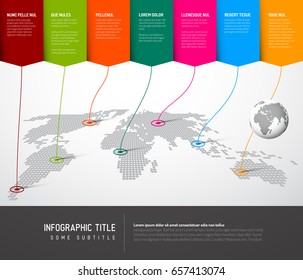
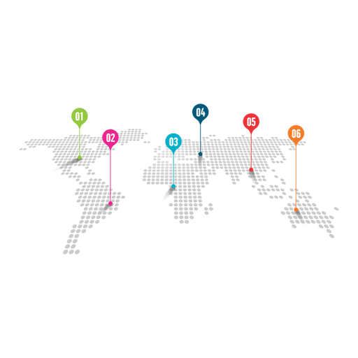
Colored marker logistic map PNG Design
Choose a folder
All favorites
Create new
Save
Colored marker logistic map PNG Design
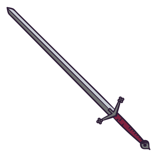
Red sword color stroke PNG Design
Choose a folder
All favorites
Create new
Save
Red sword color stroke PNG Design
Test tube semi flat PNG Design
Choose a folder
All favorites
Create new
Save
Test tube semi flat PNG Design
Circular rope knot color cut out PNG Design
Choose a folder
All favorites
Create new
Save
Circular rope knot color cut out PNG Design
Bayahibe rose dominican doodle PNG Design
Choose a folder
All favorites
Create new
Save
Bayahibe rose dominican doodle PNG Design
Honduras brushy flag design PNG Design
Choose a folder
All favorites
Create new
Save
Honduras brushy flag design PNG Design
Premium
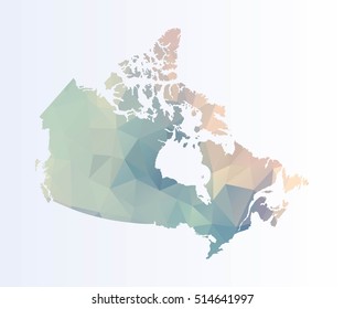
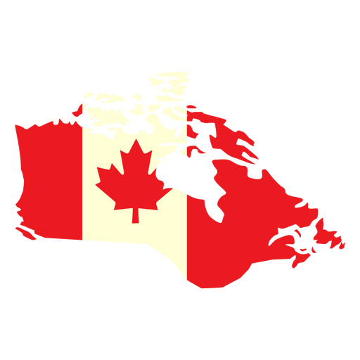
Geographic country with canada flag flat PNG Design
Choose a folder
All favorites
Create new
Save
Geographic country with canada flag flat PNG Design
Uruguay bandoneon stroke PNG Design
Choose a folder
All favorites
Create new
Save
Uruguay bandoneon stroke PNG Design
Premium
Planet saturn icon PNG Design
Choose a folder
All favorites
Create new
Save
Planet saturn icon PNG Design
Premium
Alagoas state map PNG Design
Choose a folder
All favorites
Create new
Save
Alagoas state map PNG Design
Premium
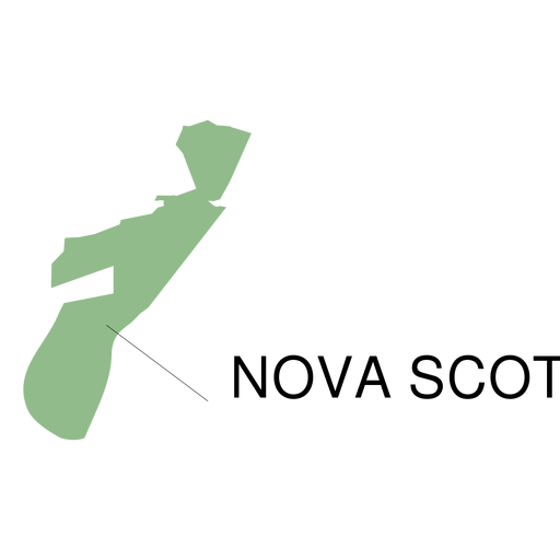
Nova scotia province map PNG Design
Choose a folder
All favorites
Create new
Save
Nova scotia province map PNG Design
Premium
Sergipe state map PNG Design
Choose a folder
All favorites
Create new
Save
Sergipe state map PNG Design
Premium
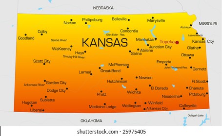
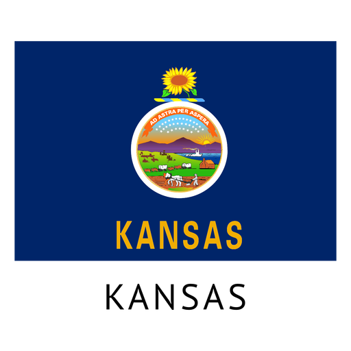
Kansas state flag PNG Design
Choose a folder
All favorites
Create new
Save
Kansas state flag PNG Design
Premium
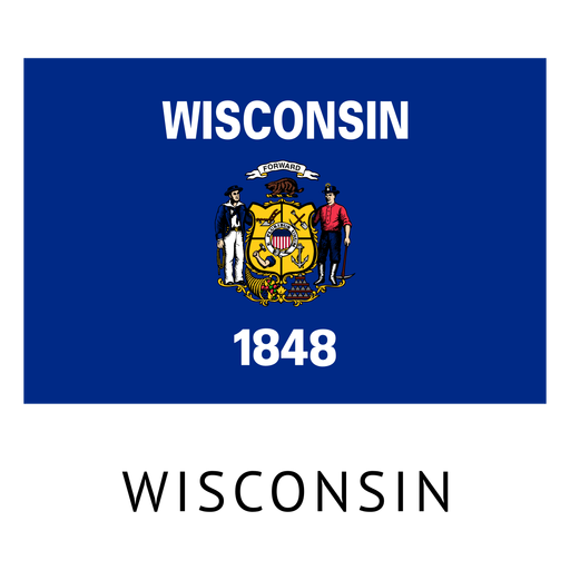
Wisconsin state flag PNG Design
Choose a folder
All favorites
Create new
Save
Wisconsin state flag PNG Design
Premium
Carryall lorry transport silhouette stroke.svg PNG Design
Choose a folder
All favorites
Create new
Save
Carryall lorry transport silhouette stroke.svg PNG Design
Premium
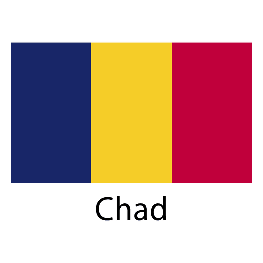
Chad national flag PNG Design
Choose a folder
All favorites
Create new
Save
Chad national flag PNG Design
Premium
Monaco national flag PNG Design
Choose a folder
All favorites
Create new
Save
Monaco national flag PNG Design
Premium
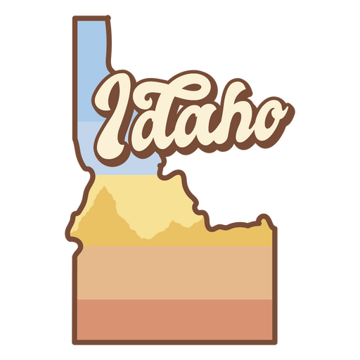
The state of idaho is shown PNG Design
Choose a folder
All favorites
Create new
Save
The state of idaho is shown PNG Design
South america stroke continents map PNG Design
Choose a folder
All favorites
Create new
Save
South america stroke continents map PNG Design
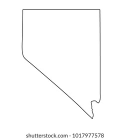
Colorado usa map silhouette PNG Design
Choose a folder
All favorites
Create new
Save
Colorado usa map silhouette PNG Design
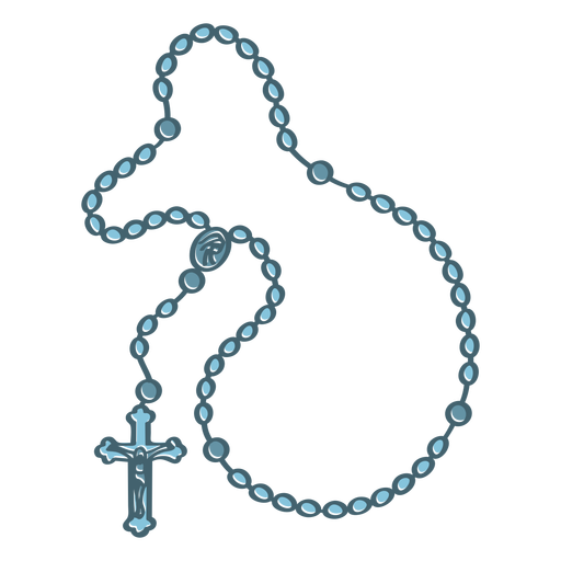
Rosary color stroke PNG Design
Choose a folder
All favorites
Create new
Save
Rosary color stroke PNG Design
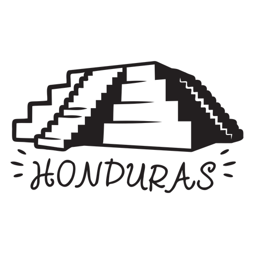
Copan ruins honduras element PNG Design
Choose a folder
All favorites
Create new
Save
Copan ruins honduras element PNG Design
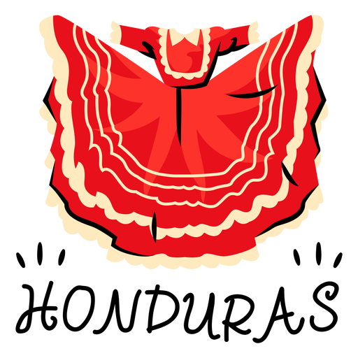
Guajiniquil dress honduras illustration PNG Design
Choose a folder
All favorites
Create new
Save
Guajiniquil dress honduras illustration PNG Design
Lavender flower stroke PNG Design
Choose a folder
All favorites
Create new
Save
Lavender flower stroke PNG Design
United states of america icon PNG Design
Choose a folder
All favorites
Create new
Save
United states of america icon PNG Design
Premium
Italy flag language icon PNG Design
Choose a folder
All favorites
Create new
Save
Italy flag language icon PNG Design
Premium
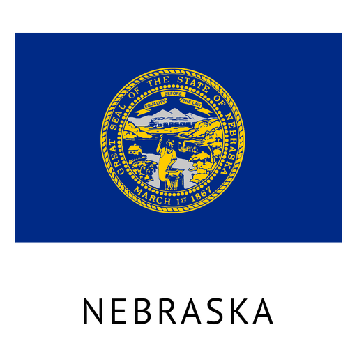
Nebraska state flag PNG Design
Choose a folder
All favorites
Create new
Save
Nebraska state flag PNG Design
Premium
Earth day plantation label PNG Design
Choose a folder
All favorites
Create new
Save
Earth day plantation label PNG Design
Premium
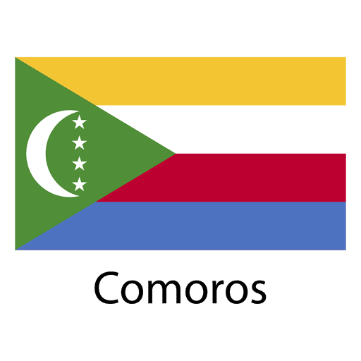
Comoros national flag PNG Design
Choose a folder
All favorites
Create new
Save
Comoros national flag PNG Design
Premium
Falkland islands national flag PNG Design
Choose a folder
All favorites
Create new
Save
Falkland islands national flag PNG Design
Premium
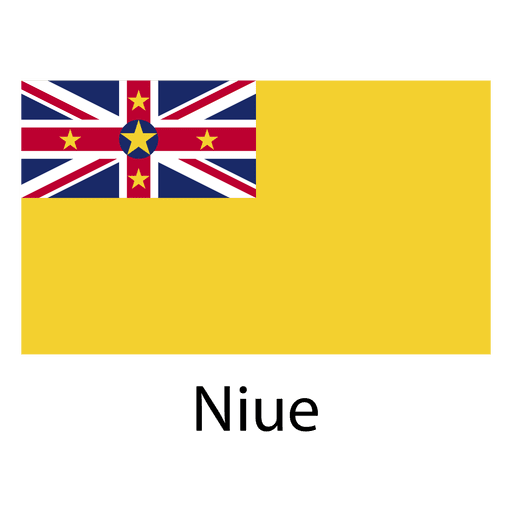
Niue national flag PNG Design
Choose a folder
All favorites
Create new
Save
Niue national flag PNG Design
Premium
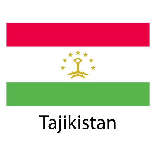
Tajikistan national flag PNG Design
Choose a folder
All favorites
Create new
Save
Tajikistan national flag PNG Design
Brain thinking color stroke PNG Design
Choose a folder
All favorites
Create new
Save
Brain thinking color stroke PNG Design
Horseshoe cut out PNG Design
Choose a folder
All favorites
Create new
Save
Horseshoe cut out PNG Design
Cross necklace christian religion PNG Design
Choose a folder
All favorites
Create new
Save
Cross necklace christian religion PNG Design
Uruguay sun art stroke PNG Design
Choose a folder
All favorites
Create new
Save
Uruguay sun art stroke PNG Design
Zodiac badge planet cancer stroke PNG Design
Choose a folder
All favorites
Create new
Save
Zodiac badge planet cancer stroke PNG Design
Christmas sleigh PNG Design
Choose a folder
All favorites
Create new
Save
Christmas sleigh PNG Design
Premium
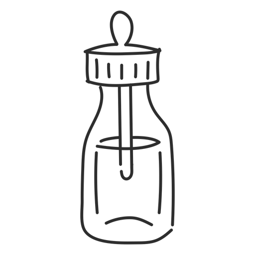
Phial vial pipette sketch PNG Design
Choose a folder
All favorites
Create new
Save
Phial vial pipette sketch PNG Design
Premium
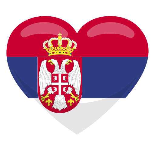
Serbia heart flag PNG Design
Choose a folder
All favorites
Create new
Save
Serbia heart flag PNG Design
Premium
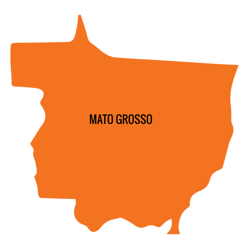
Mato grosso state map PNG Design
Choose a folder
All favorites
Create new
Save
Mato grosso state map PNG Design
Premium
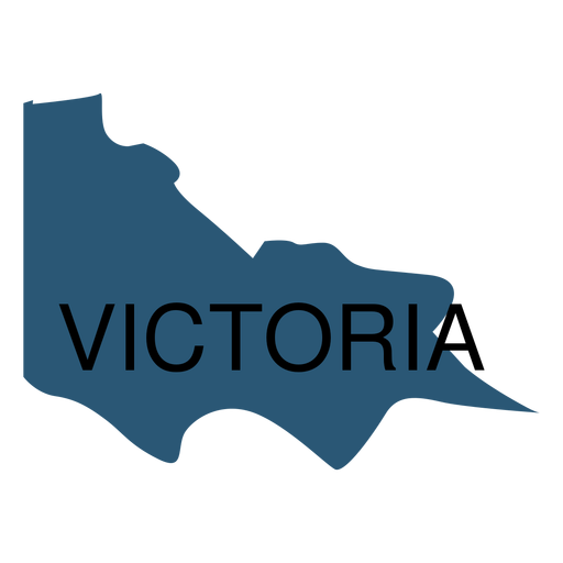
Victoria state map PNG Design
Choose a folder
All favorites
Create new
Save
Victoria state map PNG Design
Premium
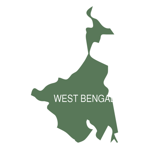
West bengal state map PNG Design
Choose a folder
All favorites
Create new
Save
West bengal state map PNG Design
Premium
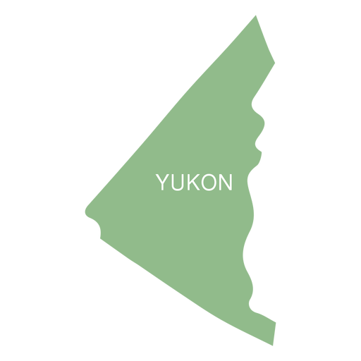
Yukon territory map PNG Design
Choose a folder
All favorites
Create new
Save
Yukon territory map PNG Design
Premium
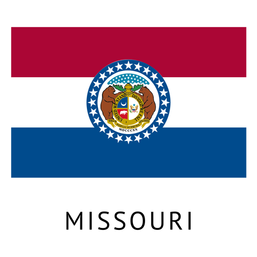
Missouri state flag PNG Design
Choose a folder
All favorites
Create new
Save
Missouri state flag PNG Design
Subscribe
To Get High-Quality Commercial Use Designs For Your Business
SEE PLANS
Next
of 98
prev page
next page