Design Library
New Merch Designs
T-Shirts
Vectors
Trending Merch Designs
PNGs & SVGs
Mockups
T-Shirt PSD Templates
Explore Designs
KDP Designs
Posters
Mugs
Phone Cases
Tote Bags
Pillows
Design Tools
Merch Designer
New!
Mockup Generator
AI Design Generator
Image Vectorizer
Quote Generator
T-Shirt Maker (Old)
Resources
Merch Digest
Blog
Help Center
Learn About Merch
Feedback
Corporate Solutions
Enterprise
API Access
Design Studio
Bulk Design Production
Pricing
Loading...
Sign Up
Login
PNG
maps
Design Library
New Merch Designs
T-Shirts
Vectors
Trending Merch Designs
PNGs & SVGs
Mockups
T-Shirt PSD Templates
Explore Designs
KDP Designs
Posters
Mugs
Phone Cases
Tote Bags
Pillows
Design Tools
Merch Designer
New!
Mockup Generator
AI Design Generator
Image Vectorizer
Quote Generator
T-Shirt Maker (Old)
Resources
Merch Digest
Blog
Help Center
Learn About Merch
Feedback
Corporate Solutions
Enterprise
API Access
Design Studio
Bulk Design Production
PLANS
PNG
maps
4899 maps PNG and SVG Editable Vectors
Download editable maps PNG and SVG Vectors with transparent background.
Related:
world maps
,
base maps
,
world livestock maps
Sort by
Most relevant
Sponsored results by
Get 15% off with code: VEXELS15
Show more
Brain and flowers stroke PNG Design
Choose a folder
All favorites
Create new
Save
Brain and flowers stroke PNG Design
Keep up the good work bage PNG Design
Choose a folder
All favorites
Create new
Save
Keep up the good work bage PNG Design
Bible book christianity PNG Design
Choose a folder
All favorites
Create new
Save
Bible book christianity PNG Design
Lavender flower hand drawn PNG Design
Choose a folder
All favorites
Create new
Save
Lavender flower hand drawn PNG Design
Premium
Lion flat logo safari PNG Design
Choose a folder
All favorites
Create new
Save
Lion flat logo safari PNG Design
Premium
Powerlifting strength PNG Design
Choose a folder
All favorites
Create new
Save
Powerlifting strength PNG Design
Premium
Madagascar national flag PNG Design
Choose a folder
All favorites
Create new
Save
Madagascar national flag PNG Design
Premium
Globe rings bicycle PNG Design
Choose a folder
All favorites
Create new
Save
Globe rings bicycle PNG Design
Alaska color stroke states PNG Design
Choose a folder
All favorites
Create new
Save
Alaska color stroke states PNG Design
Delaware usa map silhouette PNG Design
Choose a folder
All favorites
Create new
Save
Delaware usa map silhouette PNG Design
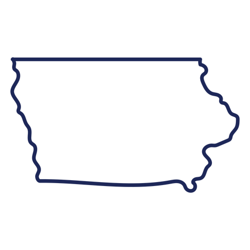
Iowa usa map stroke PNG Design
Choose a folder
All favorites
Create new
Save
Iowa usa map stroke PNG Design
Pile of books semi flat PNG Design
Choose a folder
All favorites
Create new
Save
Pile of books semi flat PNG Design
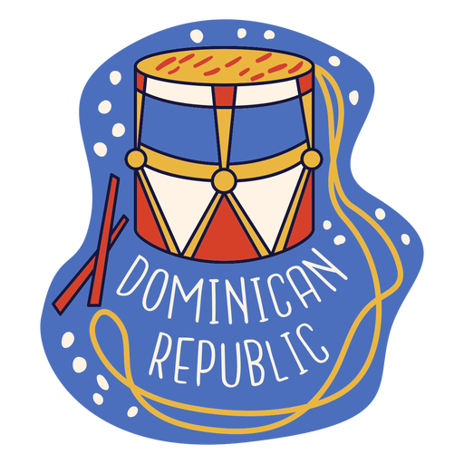
Dominican republic tambora doodle PNG Design
Choose a folder
All favorites
Create new
Save
Dominican republic tambora doodle PNG Design
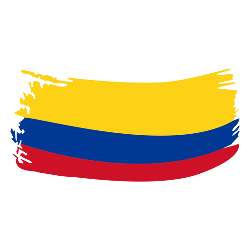
Colombia brushy flag design PNG Design
Choose a folder
All favorites
Create new
Save
Colombia brushy flag design PNG Design
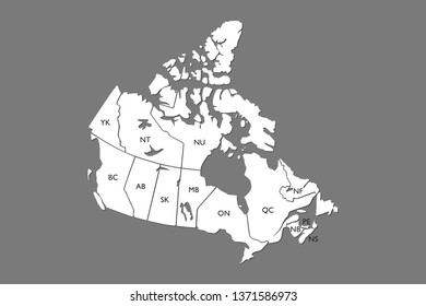
Happy canada day leaf maple badge sticker PNG Design
Choose a folder
All favorites
Create new
Save
Happy canada day leaf maple badge sticker PNG Design
Premium
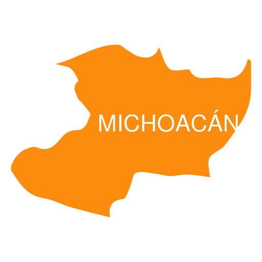
Michoacan de ocampa state map PNG Design
Choose a folder
All favorites
Create new
Save
Michoacan de ocampa state map PNG Design
Premium
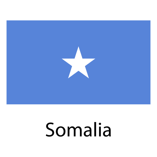
Somalia national flag PNG Design
Choose a folder
All favorites
Create new
Save
Somalia national flag PNG Design
Pennsylvania usa map silhouette PNG Design
Choose a folder
All favorites
Create new
Save
Pennsylvania usa map silhouette PNG Design
Pink letter K mandala alphabet PNG Design
Choose a folder
All favorites
Create new
Save
Pink letter K mandala alphabet PNG Design
Yellow pencil color stroke PNG Design
Choose a folder
All favorites
Create new
Save
Yellow pencil color stroke PNG Design
Palmchat dominican republic doodle PNG Design
Choose a folder
All favorites
Create new
Save
Palmchat dominican republic doodle PNG Design
Polaroid camera icon stroke PNG Design
Choose a folder
All favorites
Create new
Save
Polaroid camera icon stroke PNG Design
Premium
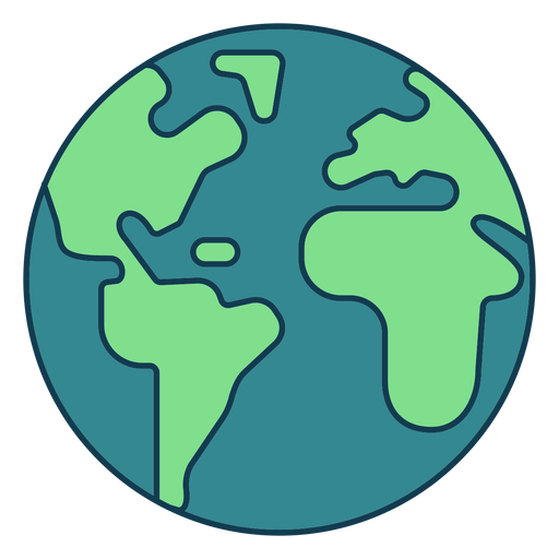
Planet earth globe america africa silhouette PNG Design
Choose a folder
All favorites
Create new
Save
Planet earth globe america africa silhouette PNG Design
Premium
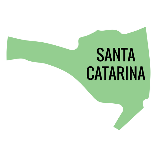
Santa catarina state map PNG Design
Choose a folder
All favorites
Create new
Save
Santa catarina state map PNG Design
Premium
Rhode island state plain map PNG Design
Choose a folder
All favorites
Create new
Save
Rhode island state plain map PNG Design
Premium
Ribbon Sticking plaster label PNG Design
Choose a folder
All favorites
Create new
Save
Ribbon Sticking plaster label PNG Design
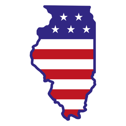
Illinois color stroke states PNG Design
Choose a folder
All favorites
Create new
Save
Illinois color stroke states PNG Design
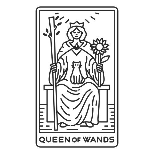
Tarot card queen of wands stroke PNG Design
Choose a folder
All favorites
Create new
Save
Tarot card queen of wands stroke PNG Design
Quetzal guatemala cut out PNG Design
Choose a folder
All favorites
Create new
Save
Quetzal guatemala cut out PNG Design
Premium
England flag language icon PNG Design
Choose a folder
All favorites
Create new
Save
England flag language icon PNG Design
Premium
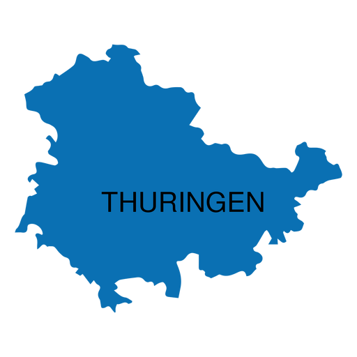
Thuringia state map PNG Design
Choose a folder
All favorites
Create new
Save
Thuringia state map PNG Design
Premium
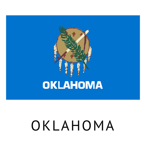
Oklahoma state flag PNG Design
Choose a folder
All favorites
Create new
Save
Oklahoma state flag PNG Design
Premium
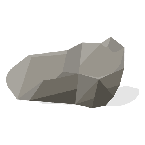
Rubble stone illustration PNG Design
Choose a folder
All favorites
Create new
Save
Rubble stone illustration PNG Design
Premium
Boulder PNG Design
Choose a folder
All favorites
Create new
Save
Boulder PNG Design
Premium
Abkhazia national flag PNG Design
Choose a folder
All favorites
Create new
Save
Abkhazia national flag PNG Design
Red globe line icon.svg PNG Design
Choose a folder
All favorites
Create new
Save
Red globe line icon.svg PNG Design
Premium
Sun space icon PNG Design
Choose a folder
All favorites
Create new
Save
Sun space icon PNG Design
Premium
Baja california state map PNG Design
Choose a folder
All favorites
Create new
Save
Baja california state map PNG Design
Premium
Tamaulipas state map PNG Design
Choose a folder
All favorites
Create new
Save
Tamaulipas state map PNG Design
Premium
Anguilla national flag PNG Design
Choose a folder
All favorites
Create new
Save
Anguilla national flag PNG Design
Premium
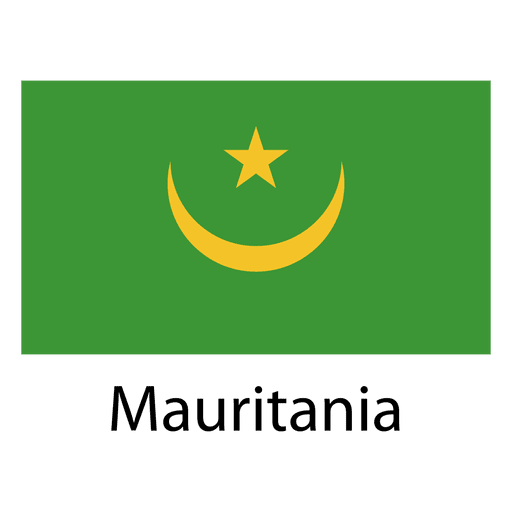
Mauritania national flag PNG Design
Choose a folder
All favorites
Create new
Save
Mauritania national flag PNG Design
Nevada usa map silhouette PNG Design
Choose a folder
All favorites
Create new
Save
Nevada usa map silhouette PNG Design
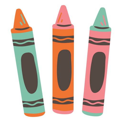
Crayons set semi flat PNG Design
Choose a folder
All favorites
Create new
Save
Crayons set semi flat PNG Design
Double common knot rope color stroke PNG Design
Choose a folder
All favorites
Create new
Save
Double common knot rope color stroke PNG Design
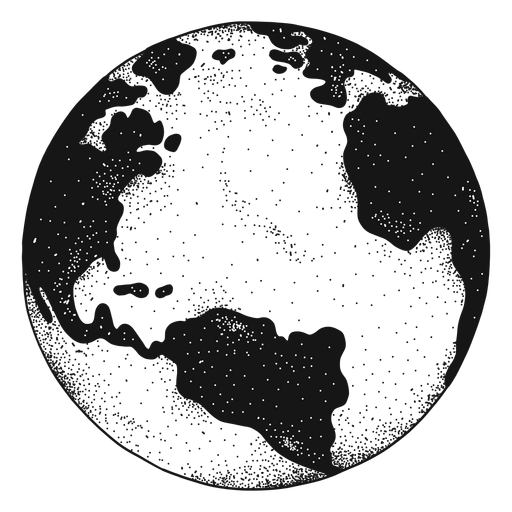
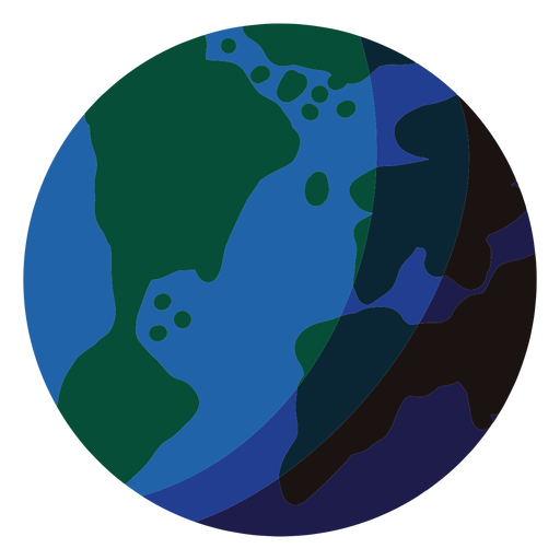
Earth planet illustration earth PNG Design
Choose a folder
All favorites
Create new
Save
Earth planet illustration earth PNG Design
Premium
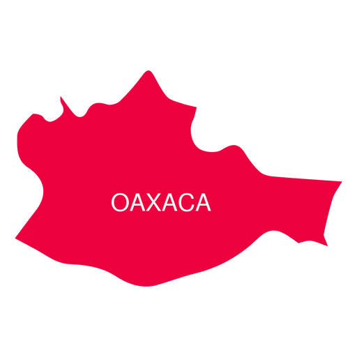
Oaxaca state map PNG Design
Choose a folder
All favorites
Create new
Save
Oaxaca state map PNG Design
Premium
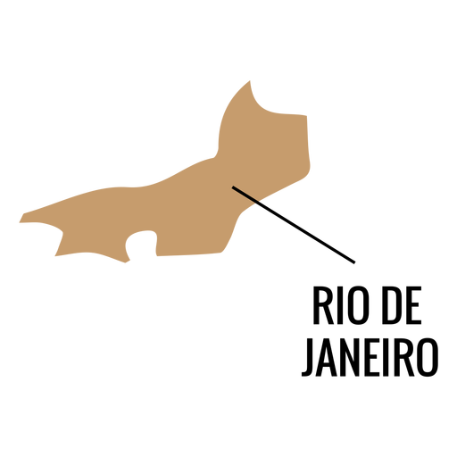
Rio de janeiro state map PNG Design
Choose a folder
All favorites
Create new
Save
Rio de janeiro state map PNG Design
Premium
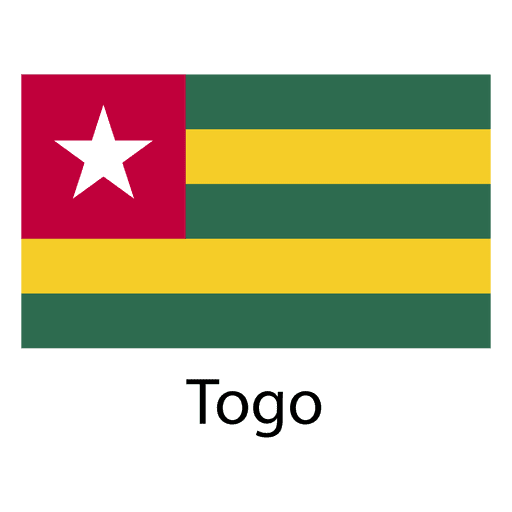
Togo national flag PNG Design
Choose a folder
All favorites
Create new
Save
Togo national flag PNG Design
Simple earth geometric color stroke element PNG Design
Choose a folder
All favorites
Create new
Save
Simple earth geometric color stroke element PNG Design
Summer umbrella beach PNG Design
Choose a folder
All favorites
Create new
Save
Summer umbrella beach PNG Design
Subscribe
To Get High-Quality Commercial Use Designs For Your Business
SEE PLANS
Next
of 98
prev page
next page