Design Library
New Merch Designs
T-Shirts
Vectors
Trending Merch Designs
PNGs & SVGs
Mockups
T-Shirt PSD Templates
Explore Designs
KDP Designs
Posters
Mugs
Phone Cases
Tote Bags
Pillows
Design Tools
Merch Designer
New!
Mockup Generator
AI Design Generator
Image Vectorizer
Quote Generator
T-Shirt Maker (Old)
Resources
Merch Digest
Blog
Help Center
Learn About Merch
Feedback
Corporate Solutions
Enterprise
API Access
Design Studio
Bulk Design Production
Pricing
Loading...
Sign Up
Login
PNG
maps
Design Library
New Merch Designs
T-Shirts
Vectors
Trending Merch Designs
PNGs & SVGs
Mockups
T-Shirt PSD Templates
Explore Designs
KDP Designs
Posters
Mugs
Phone Cases
Tote Bags
Pillows
Design Tools
Merch Designer
New!
Mockup Generator
AI Design Generator
Image Vectorizer
Quote Generator
T-Shirt Maker (Old)
Resources
Merch Digest
Blog
Help Center
Learn About Merch
Feedback
Corporate Solutions
Enterprise
API Access
Design Studio
Bulk Design Production
PLANS
PNG
maps
4898 maps PNG and SVG Editable Vectors
Download editable maps PNG and SVG Vectors with transparent background.
Related:
world maps
,
base maps
,
world livestock maps
Sort by
Most relevant
Sponsored results by
Get 15% off with code: VEXELS15
Show more
Premium
Paraguay national flag PNG Design
Choose a folder
All favorites
Create new
Save
Paraguay national flag PNG Design
Premium
Zambia national flag PNG Design
Choose a folder
All favorites
Create new
Save
Zambia national flag PNG Design
Premium
Zimbabwe national flag PNG Design
Choose a folder
All favorites
Create new
Save
Zimbabwe national flag PNG Design
Oregon usa map silhouette PNG Design
Choose a folder
All favorites
Create new
Save
Oregon usa map silhouette PNG Design
Massachusetts state stroke map PNG Design
Choose a folder
All favorites
Create new
Save
Massachusetts state stroke map PNG Design
Mental health stigma color stroke PNG Design
Choose a folder
All favorites
Create new
Save
Mental health stigma color stroke PNG Design
Cold temperature icon PNG Design
Choose a folder
All favorites
Create new
Save
Cold temperature icon PNG Design
Rosary stroke PNG Design
Choose a folder
All favorites
Create new
Save
Rosary stroke PNG Design
Premium
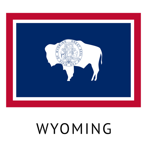
Wyoming state flag PNG Design
Choose a folder
All favorites
Create new
Save
Wyoming state flag PNG Design
Premium
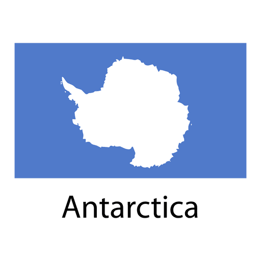
Antarctica national flag PNG Design
Choose a folder
All favorites
Create new
Save
Antarctica national flag PNG Design
Premium
Countryside silhuette PNG Design
Choose a folder
All favorites
Create new
Save
Countryside silhuette PNG Design
Premium
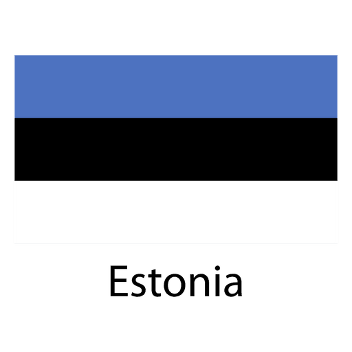
Estonia national flag PNG Design
Choose a folder
All favorites
Create new
Save
Estonia national flag PNG Design
Premium
European union national flag PNG Design
Choose a folder
All favorites
Create new
Save
European union national flag PNG Design
Premium
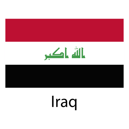
Iraq national flag PNG Design
Choose a folder
All favorites
Create new
Save
Iraq national flag PNG Design
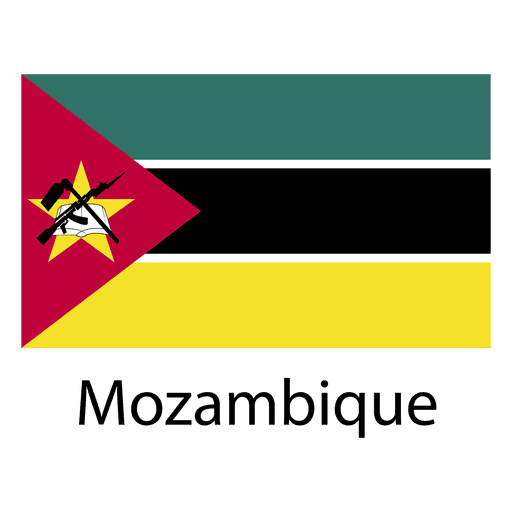
Premium
Mozambique national flag PNG Design
Choose a folder
All favorites
Create new
Save
Mozambique national flag PNG Design
Premium
Earth night icon PNG Design
Choose a folder
All favorites
Create new
Save
Earth night icon PNG Design
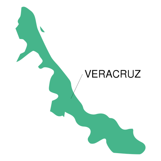
Premium
Veracruz state map PNG Design
Choose a folder
All favorites
Create new
Save
Veracruz state map PNG Design
Premium
Maryland state flag PNG Design
Choose a folder
All favorites
Create new
Save
Maryland state flag PNG Design
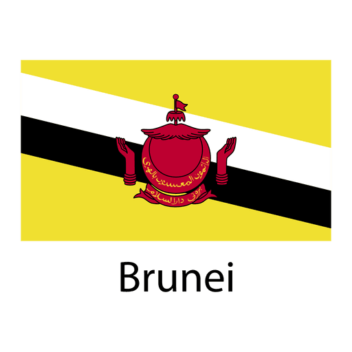
Premium
Brunei national flag PNG Design
Choose a folder
All favorites
Create new
Save
Brunei national flag PNG Design
Premium
Burkina faso national flag PNG Design
Choose a folder
All favorites
Create new
Save
Burkina faso national flag PNG Design
Georgia usa map silhouette PNG Design
Choose a folder
All favorites
Create new
Save
Georgia usa map silhouette PNG Design
Kentucky usa map silhouette PNG Design
Choose a folder
All favorites
Create new
Save
Kentucky usa map silhouette PNG Design
Utah usa map silhouette PNG Design
Choose a folder
All favorites
Create new
Save
Utah usa map silhouette PNG Design
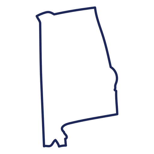
Alabama usa map stroke PNG Design
Choose a folder
All favorites
Create new
Save
Alabama usa map stroke PNG Design
Tarot card queen of cups filled stroke PNG Design
Choose a folder
All favorites
Create new
Save
Tarot card queen of cups filled stroke PNG Design
Premium
Saturn planet rings PNG Design
Choose a folder
All favorites
Create new
Save
Saturn planet rings PNG Design
Virginia usa map silhouette PNG Design
Choose a folder
All favorites
Create new
Save
Virginia usa map silhouette PNG Design
Normalize therapy color stroke PNG Design
Choose a folder
All favorites
Create new
Save
Normalize therapy color stroke PNG Design
Premium
Gay heart flag PNG Design
Choose a folder
All favorites
Create new
Save
Gay heart flag PNG Design
Premium
Stone illustration PNG Design
Choose a folder
All favorites
Create new
Save
Stone illustration PNG Design
Connecticut usa map stroke PNG Design
Choose a folder
All favorites
Create new
Save
Connecticut usa map stroke PNG Design
Maryland state stroke map PNG Design
Choose a folder
All favorites
Create new
Save
Maryland state stroke map PNG Design
Tennessee state stroke map PNG Design
Choose a folder
All favorites
Create new
Save
Tennessee state stroke map PNG Design
Brain love color stroke PNG Design
Choose a folder
All favorites
Create new
Save
Brain love color stroke PNG Design
Boombox retro cartoon PNG Design
Choose a folder
All favorites
Create new
Save
Boombox retro cartoon PNG Design
Zodiac badge planet virgo stroke PNG Design
Choose a folder
All favorites
Create new
Save
Zodiac badge planet virgo stroke PNG Design
Premium
Spain flag language icon circle PNG Design
Choose a folder
All favorites
Create new
Save
Spain flag language icon circle PNG Design
Brazil landmark flag PNG Design
Choose a folder
All favorites
Create new
Save
Brazil landmark flag PNG Design
Premium
Bremen German city skyline PNG Design
Choose a folder
All favorites
Create new
Save
Bremen German city skyline PNG Design
Massachusetts usa map silhouette PNG Design
Choose a folder
All favorites
Create new
Save
Massachusetts usa map silhouette PNG Design
Oklahoma usa map silhouette PNG Design
Choose a folder
All favorites
Create new
Save
Oklahoma usa map silhouette PNG Design
Tarot card the devil cut out PNG Design
Choose a folder
All favorites
Create new
Save
Tarot card the devil cut out PNG Design
Tikal guatemala cut out PNG Design
Choose a folder
All favorites
Create new
Save
Tikal guatemala cut out PNG Design
Premium
Simple earth icon PNG Design
Choose a folder
All favorites
Create new
Save
Simple earth icon PNG Design
Premium
Banner location symbol PNG Design
Choose a folder
All favorites
Create new
Save
Banner location symbol PNG Design
Premium
Tennessee state flag PNG Design
Choose a folder
All favorites
Create new
Save
Tennessee state flag PNG Design
Premium
Burundi national flag PNG Design
Choose a folder
All favorites
Create new
Save
Burundi national flag PNG Design
Premium
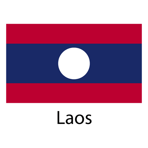
Laos national flag PNG Design
Choose a folder
All favorites
Create new
Save
Laos national flag PNG Design
Premium
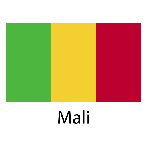
Mali national flag PNG Design
Choose a folder
All favorites
Create new
Save
Mali national flag PNG Design
Hawaii usa map silhouette PNG Design
Choose a folder
All favorites
Create new
Save
Hawaii usa map silhouette PNG Design
Subscribe
To Get High-Quality Commercial Use Designs For Your Business
SEE PLANS
Next
of 98
prev page
next page