Design Library
New Merch Designs
T-Shirts
Vectors
Trending Merch Designs
PNGs & SVGs
Mockups
T-Shirt PSD Templates
Explore Designs
KDP Designs
Posters
Mugs
Phone Cases
Tote Bags
Pillows
Design Tools
Merch Designer
New!
Mockup Generator
AI Design Generator
Image Vectorizer
Quote Generator
T-Shirt Maker (Old)
Resources
Merch Digest
Blog
Help Center
Learn About Merch
Feedback
Corporate Solutions
Enterprise
API Access
Design Studio
Bulk Design Production
Pricing
Loading...
Sign Up
Login
PNG
maps
Design Library
New Merch Designs
T-Shirts
Vectors
Trending Merch Designs
PNGs & SVGs
Mockups
T-Shirt PSD Templates
Explore Designs
KDP Designs
Posters
Mugs
Phone Cases
Tote Bags
Pillows
Design Tools
Merch Designer
New!
Mockup Generator
AI Design Generator
Image Vectorizer
Quote Generator
T-Shirt Maker (Old)
Resources
Merch Digest
Blog
Help Center
Learn About Merch
Feedback
Corporate Solutions
Enterprise
API Access
Design Studio
Bulk Design Production
PLANS
PNG
maps
4898 maps PNG and SVG Editable Vectors
Download editable maps PNG and SVG Vectors with transparent background.
Related:
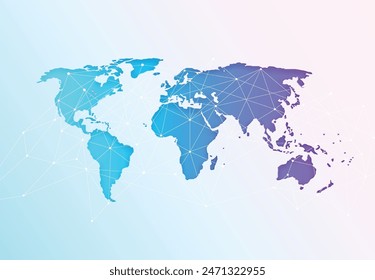
world maps
,
base maps
,
world livestock maps
Sort by
Most relevant
Sponsored results by
Get 15% off with code: VEXELS15
Show more
Simple earth geometric stroke element PNG Design
Choose a folder
All favorites
Create new
Save
Simple earth geometric stroke element PNG Design
Premium
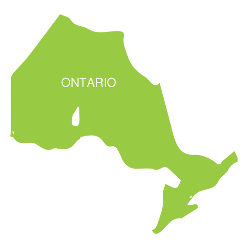
Ontario province map PNG Design
Choose a folder
All favorites
Create new
Save
Ontario province map PNG Design
Mississippi state stroke map PNG Design
Choose a folder
All favorites
Create new
Save
Mississippi state stroke map PNG Design
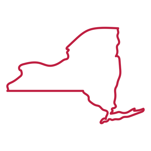
New York state stroke map PNG Design
Choose a folder
All favorites
Create new
Save
New York state stroke map PNG Design
Cuba brushy flag design PNG Design
Choose a folder
All favorites
Create new
Save
Cuba brushy flag design PNG Design
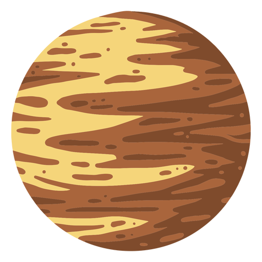
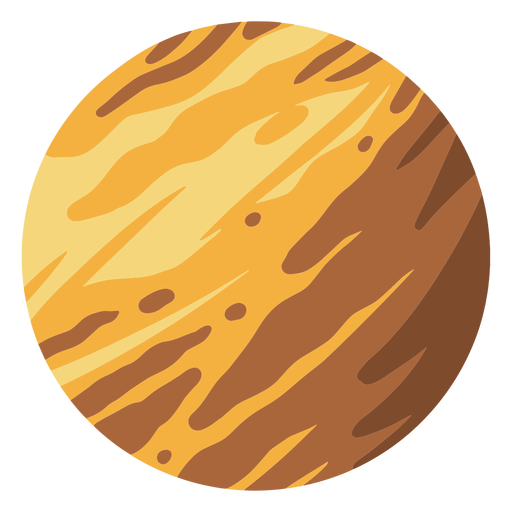
Planet pluto illustration PNG Design
Choose a folder
All favorites
Create new
Save
Planet pluto illustration PNG Design
Premium
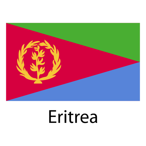
Eritrea national flag PNG Design
Choose a folder
All favorites
Create new
Save
Eritrea national flag PNG Design
Premium
Tanzania national flag PNG Design
Choose a folder
All favorites
Create new
Save
Tanzania national flag PNG Design
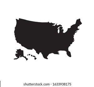
Louisiana usa map silhouette PNG Design
Choose a folder
All favorites
Create new
Save
Louisiana usa map silhouette PNG Design
Kentucky usa map stroke PNG Design
Choose a folder
All favorites
Create new
Save
Kentucky usa map stroke PNG Design
Planet jupiter illustration PNG Design
Choose a folder
All favorites
Create new
Save
Planet jupiter illustration PNG Design
Premium
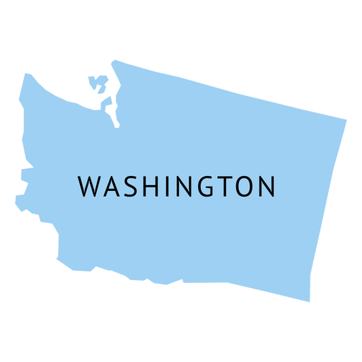
Washington state plain map PNG Design
Choose a folder
All favorites
Create new
Save
Washington state plain map PNG Design
Premium
Bangladesh national flag PNG Design
Choose a folder
All favorites
Create new
Save
Bangladesh national flag PNG Design
Premium
Czech republic national flag PNG Design
Choose a folder
All favorites
Create new
Save
Czech republic national flag PNG Design
Premium
Kenya national flag PNG Design
Choose a folder
All favorites
Create new
Save
Kenya national flag PNG Design
Illinois usa map stroke PNG Design
Choose a folder
All favorites
Create new
Save
Illinois usa map stroke PNG Design
Pink letter I mandala design PNG Design
Choose a folder
All favorites
Create new
Save
Pink letter I mandala design PNG Design
Premium
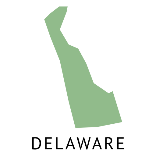
Delaware state plain map PNG Design
Choose a folder
All favorites
Create new
Save
Delaware state plain map PNG Design
Premium
Digestive system anatomy illustration PNG Design
Choose a folder
All favorites
Create new
Save
Digestive system anatomy illustration PNG Design
Rose plant line drawing stroke PNG Design
Choose a folder
All favorites
Create new
Save
Rose plant line drawing stroke PNG Design
Premium
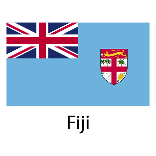
Fiji national flag PNG Design
Choose a folder
All favorites
Create new
Save
Fiji national flag PNG Design
Premium
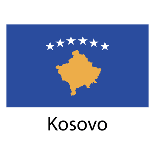
Kosovo national flag PNG Design
Choose a folder
All favorites
Create new
Save
Kosovo national flag PNG Design
Canada red heart PNG Design
Choose a folder
All favorites
Create new
Save
Canada red heart PNG Design
Premium
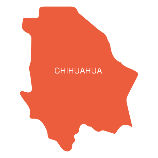
Chihuahua state map PNG Design
Choose a folder
All favorites
Create new
Save
Chihuahua state map PNG Design
Premium
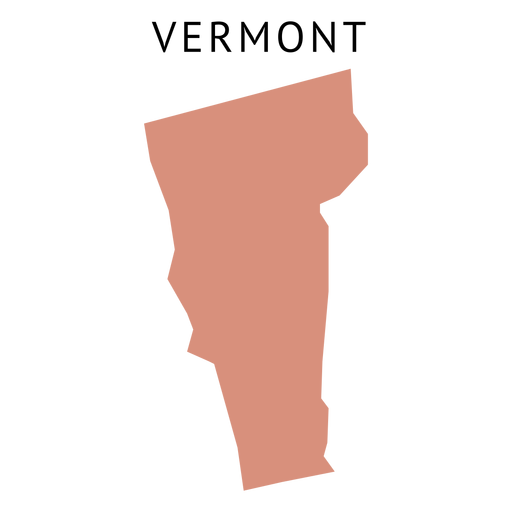
Vermont state plain map PNG Design
Choose a folder
All favorites
Create new
Save
Vermont state plain map PNG Design
Premium
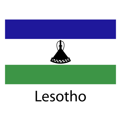
Lesotho national flag PNG Design
Choose a folder
All favorites
Create new
Save
Lesotho national flag PNG Design
Brain with love hearts stroke PNG Design
Choose a folder
All favorites
Create new
Save
Brain with love hearts stroke PNG Design
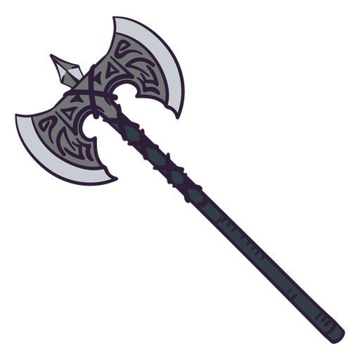
Double axe color stroke PNG Design
Choose a folder
All favorites
Create new
Save
Double axe color stroke PNG Design
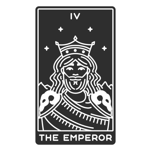
Tarot card the emperor cut out PNG Design
Choose a folder
All favorites
Create new
Save
Tarot card the emperor cut out PNG Design
Premium
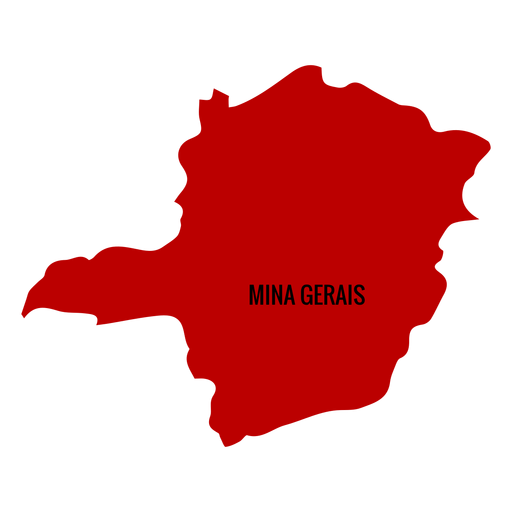
Minas gerais state map PNG Design
Choose a folder
All favorites
Create new
Save
Minas gerais state map PNG Design
Premium
Flat stone PNG Design
Choose a folder
All favorites
Create new
Save
Flat stone PNG Design
Florida usa map silhouette PNG Design
Choose a folder
All favorites
Create new
Save
Florida usa map silhouette PNG Design
Traditional el salvador stroke PNG Design
Choose a folder
All favorites
Create new
Save
Traditional el salvador stroke PNG Design
Premium
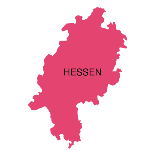
Hesse state map PNG Design
Choose a folder
All favorites
Create new
Save
Hesse state map PNG Design
Premium
Egypt national flag PNG Design
Choose a folder
All favorites
Create new
Save
Egypt national flag PNG Design
Premium
New zealand national flag PNG Design
Choose a folder
All favorites
Create new
Save
New zealand national flag PNG Design
Illinois usa map silhouette PNG Design
Choose a folder
All favorites
Create new
Save
Illinois usa map silhouette PNG Design
Rubiks cube retro cartoon PNG Design
Choose a folder
All favorites
Create new
Save
Rubiks cube retro cartoon PNG Design
Planets and stars pattern flat PNG Design
Choose a folder
All favorites
Create new
Save
Planets and stars pattern flat PNG Design
Premium
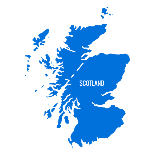
Scotland country map PNG Design
Choose a folder
All favorites
Create new
Save
Scotland country map PNG Design
Premium
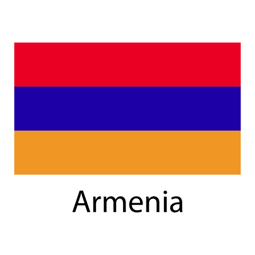
Armenia national flag PNG Design
Choose a folder
All favorites
Create new
Save
Armenia national flag PNG Design
Premium
Grenada national flag PNG Design
Choose a folder
All favorites
Create new
Save
Grenada national flag PNG Design
Premium
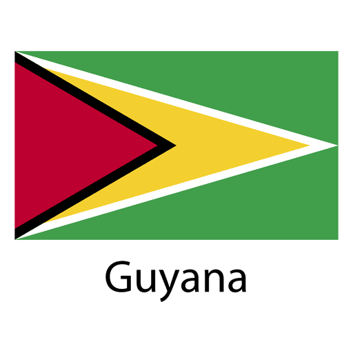
Guyana national flag PNG Design
Choose a folder
All favorites
Create new
Save
Guyana national flag PNG Design
Premium
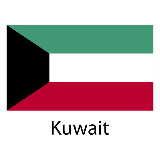
Kuwait national flag PNG Design
Choose a folder
All favorites
Create new
Save
Kuwait national flag PNG Design
Premium
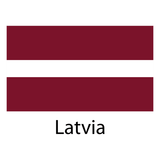
Latvia national flag PNG Design
Choose a folder
All favorites
Create new
Save
Latvia national flag PNG Design
Premium
Malta national flag PNG Design
Choose a folder
All favorites
Create new
Save
Malta national flag PNG Design
Premium
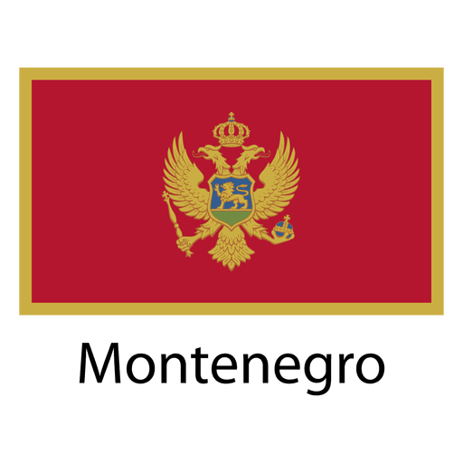
Montenegro national flag PNG Design
Choose a folder
All favorites
Create new
Save
Montenegro national flag PNG Design
Hand drawn globe icon PNG Design
Choose a folder
All favorites
Create new
Save
Hand drawn globe icon PNG Design
Champagne cheers line drawing design PNG Design
Choose a folder
All favorites
Create new
Save
Champagne cheers line drawing design PNG Design
Deer country hunting club badge logo PNG Design
Choose a folder
All favorites
Create new
Save
Deer country hunting club badge logo PNG Design
Subscribe
To Get High-Quality Commercial Use Designs For Your Business
SEE PLANS
Next
of 98
prev page
next page