Design Library
New Merch Designs
T-Shirts
Vectors
Trending Merch Designs
PNGs & SVGs
Mockups
T-Shirt PSD Templates
Explore Designs
KDP Designs
Posters
Mugs
Phone Cases
Tote Bags
Pillows
Design Tools
Merch Designer
New!
Mockup Generator
AI Design Generator
Image Vectorizer
Quote Generator
T-Shirt Maker (Old)
Resources
Merch Digest
Blog
Help Center
Learn About Merch
Feedback
Corporate Solutions
Enterprise
API Access
Design Studio
Bulk Design Production
Pricing
Loading...
Sign Up
Login
Merch Vectors
us
states
Design Library
New Merch Designs
T-Shirts
Vectors
Trending Merch Designs
PNGs & SVGs
Mockups
T-Shirt PSD Templates
Explore Designs
KDP Designs
Posters
Mugs
Phone Cases
Tote Bags
Pillows
Design Tools
Merch Designer
New!
Mockup Generator
AI Design Generator
Image Vectorizer
Quote Generator
T-Shirt Maker (Old)
Resources
Merch Digest
Blog
Help Center
Learn About Merch
Feedback
Corporate Solutions
Enterprise
API Access
Design Studio
Bulk Design Production
PLANS
Merch Vectors
us
states
392 us states Vector Designs for T-Shirts and merch
Download & buy editable us states AI Vector Graphics Designs for T shirts, Phone Cases, Book Covers and other Merch
Sort by
Most relevant
Sponsored results by
Get 15% off with code: VEXELS15
Show more
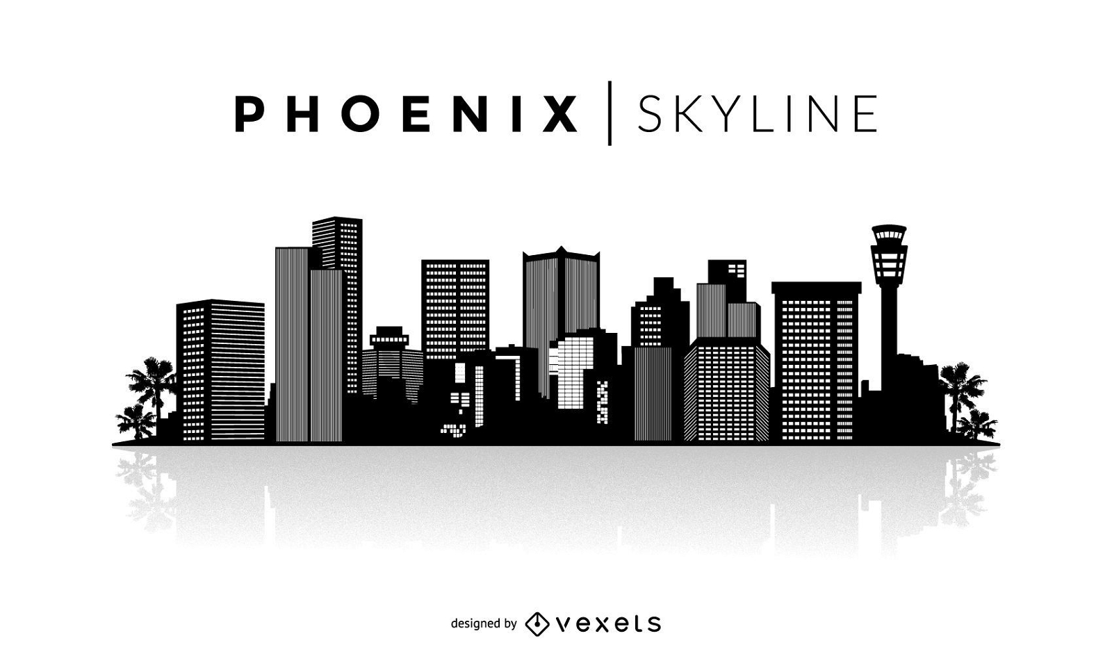
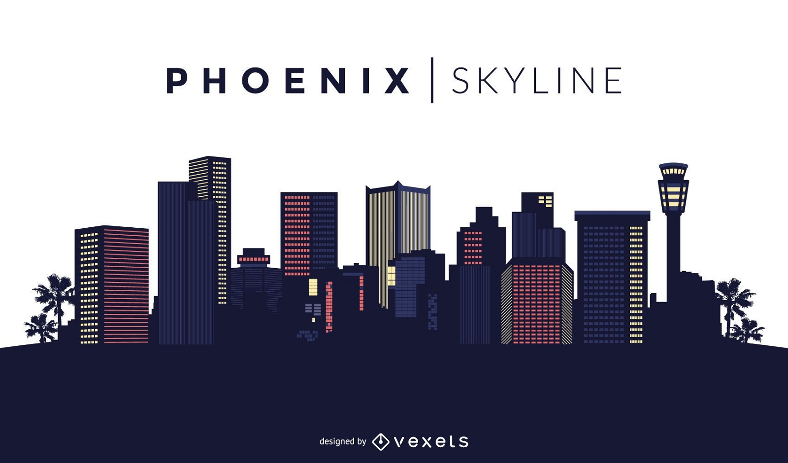
Phoenix skyline silhouette
Choose a folder
All favorites
Create new
Save
Phoenix skyline silhouette
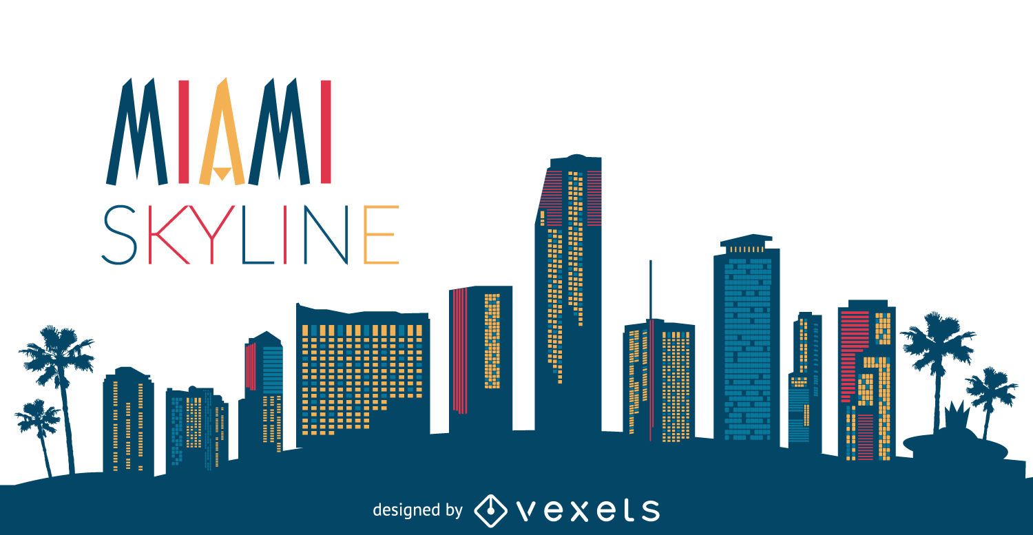
Miami Skyline Silhouette
Choose a folder
All favorites
Create new
Save
Miami Skyline Silhouette
Donald Trump stencil with bubble
Choose a folder
All favorites
Create new
Save
Donald Trump stencil with bubble
Premium
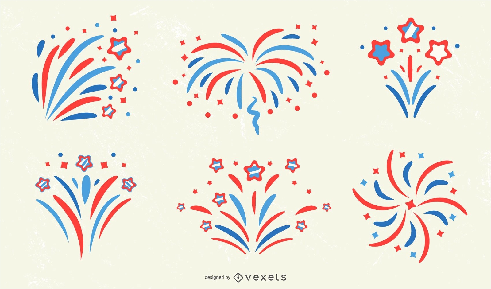
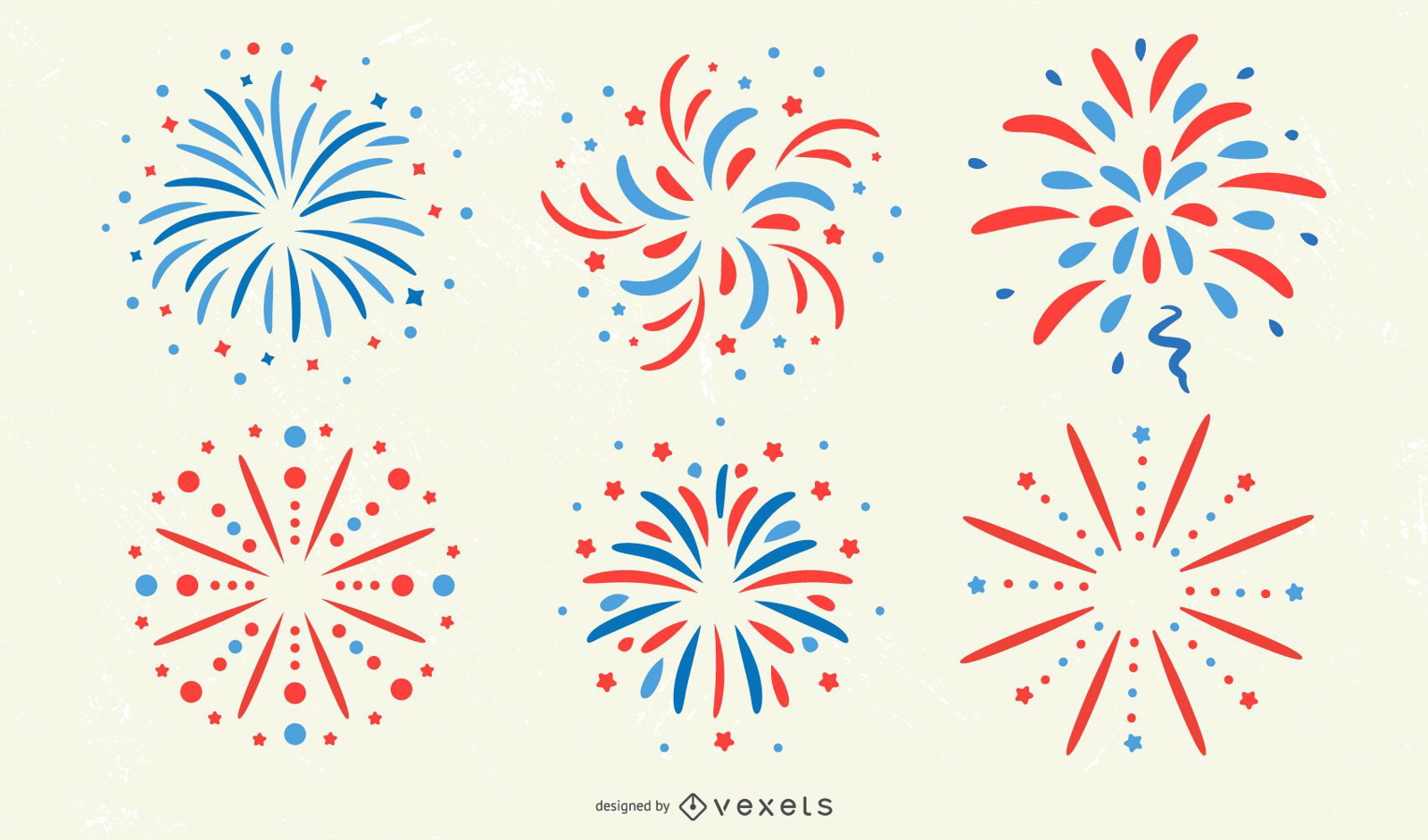
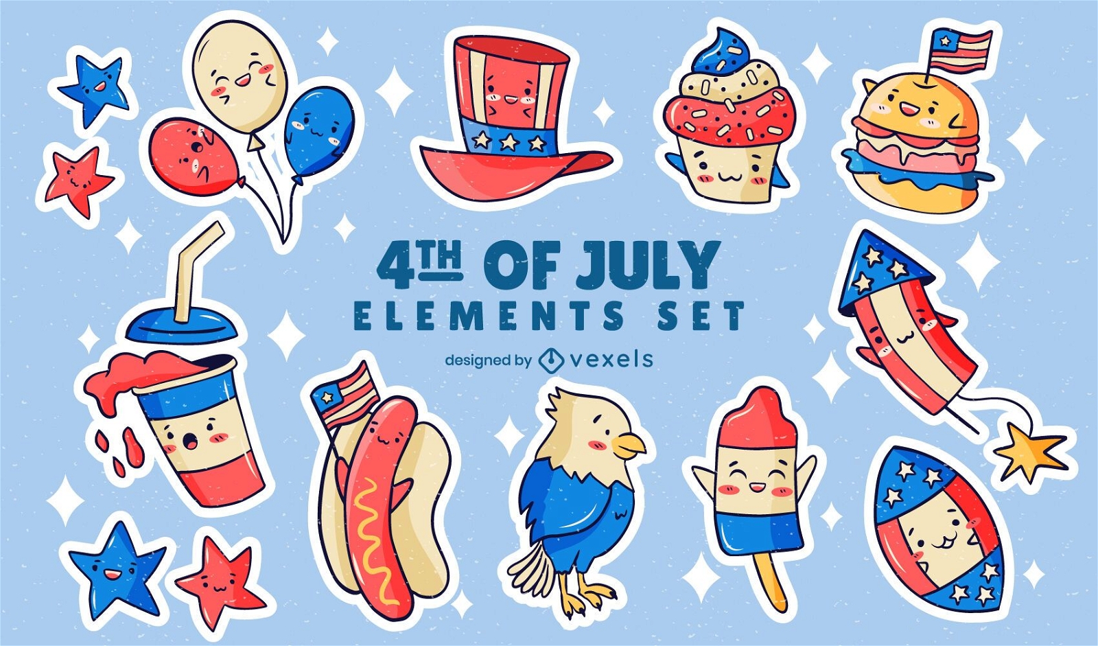
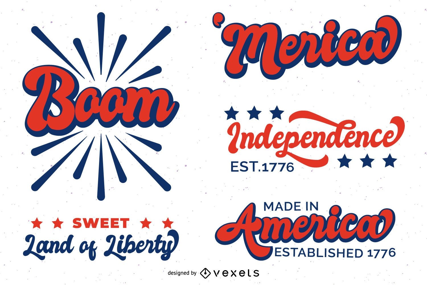
Patriotic Firework Design Collection
Choose a folder
All favorites
Create new
Save
Patriotic Firework Design Collection
Premium
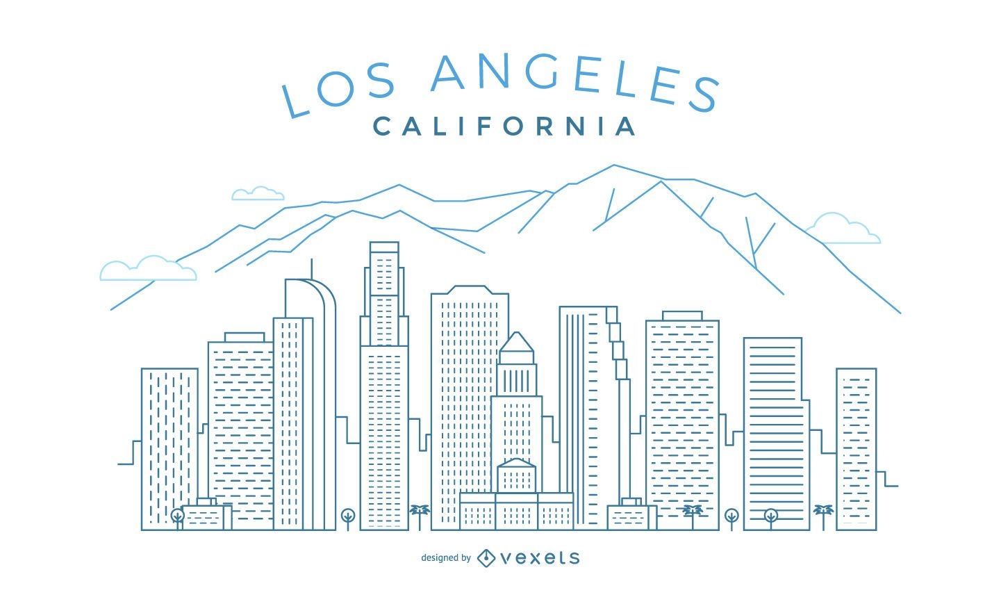
Los Angeles stroke skyline
Choose a folder
All favorites
Create new
Save
Los Angeles stroke skyline
Premium
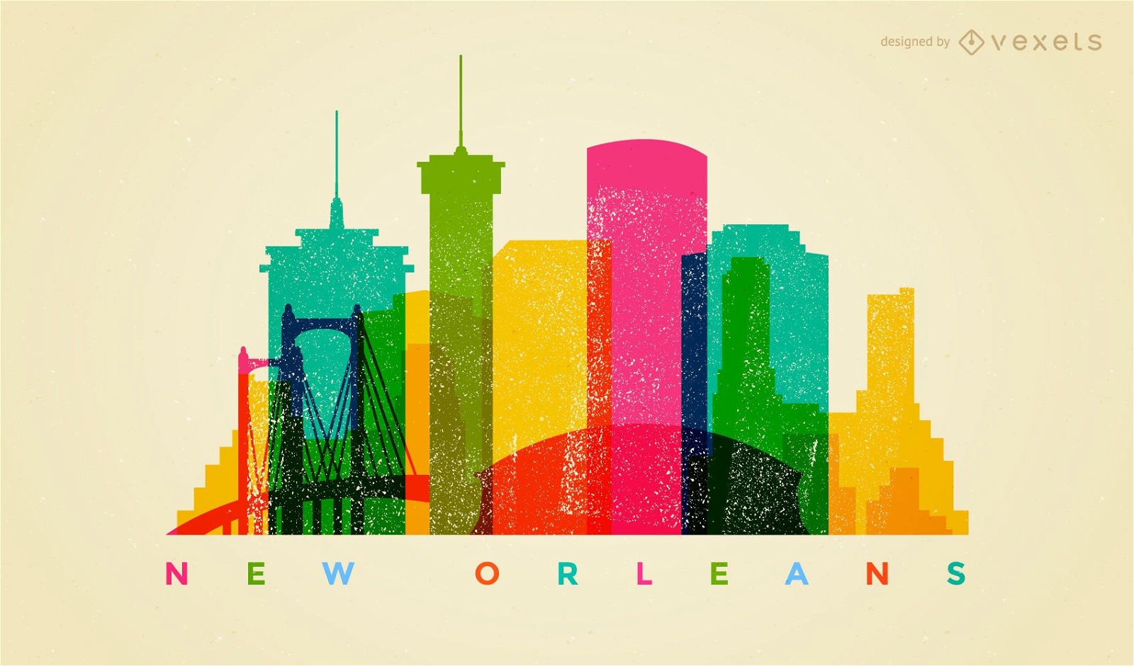
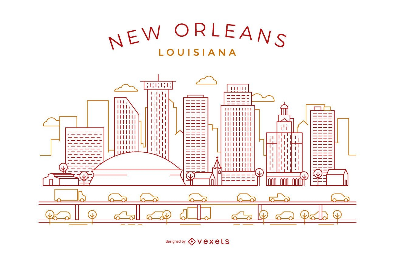
Colorful New Orleans skyline
Choose a folder
All favorites
Create new
Save
Colorful New Orleans skyline
Premium
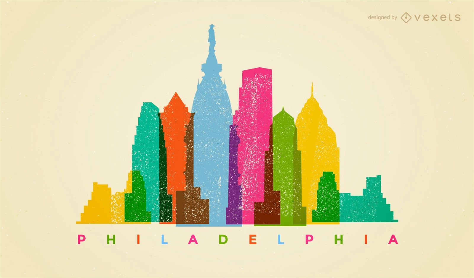
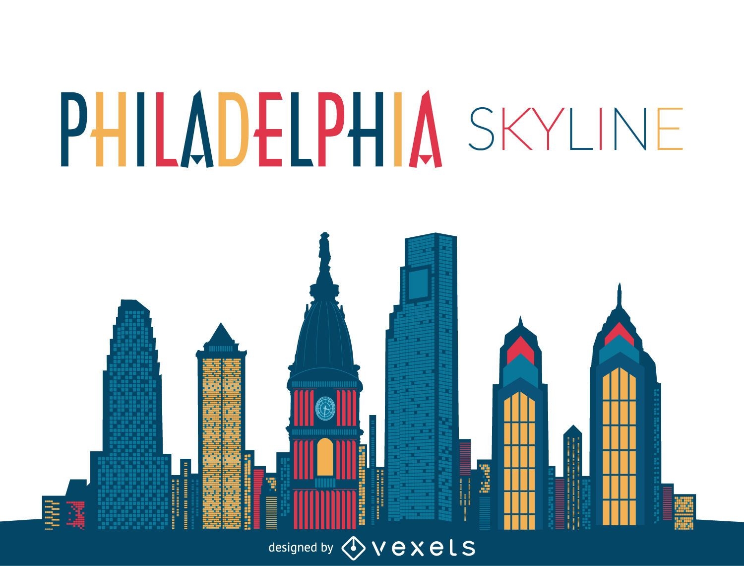
Colorful Philadelphia skyline
Choose a folder
All favorites
Create new
Save
Colorful Philadelphia skyline
Premium
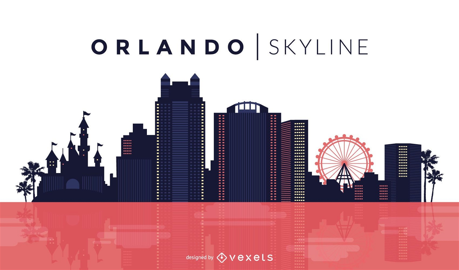
Orlando skyline design
Choose a folder
All favorites
Create new
Save
Orlando skyline design
Premium
4th of july lettering set
Choose a folder
All favorites
Create new
Save
4th of july lettering set
Premium
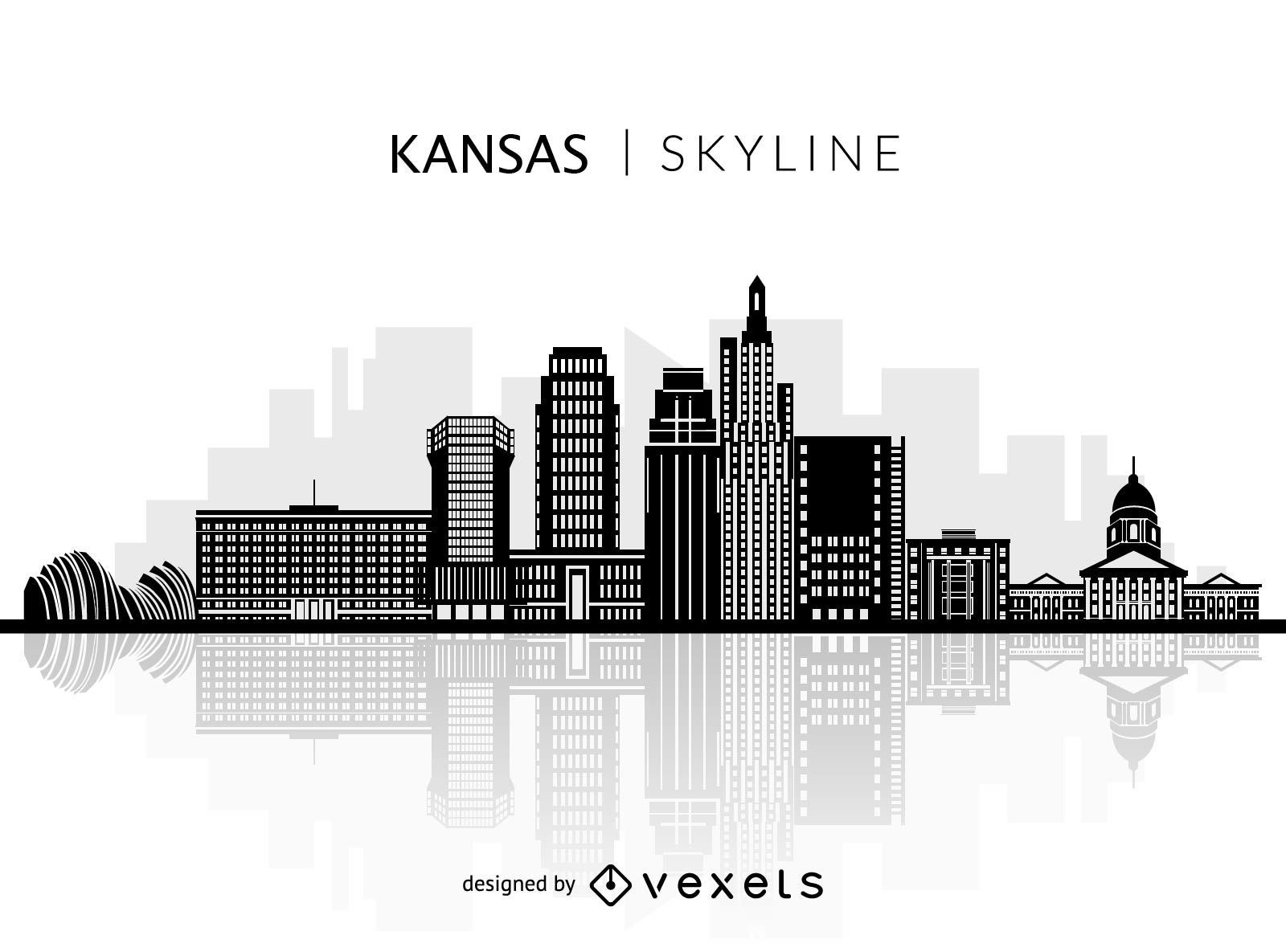
Silhouette of Kansas skyline
Choose a folder
All favorites
Create new
Save
Silhouette of Kansas skyline
Premium
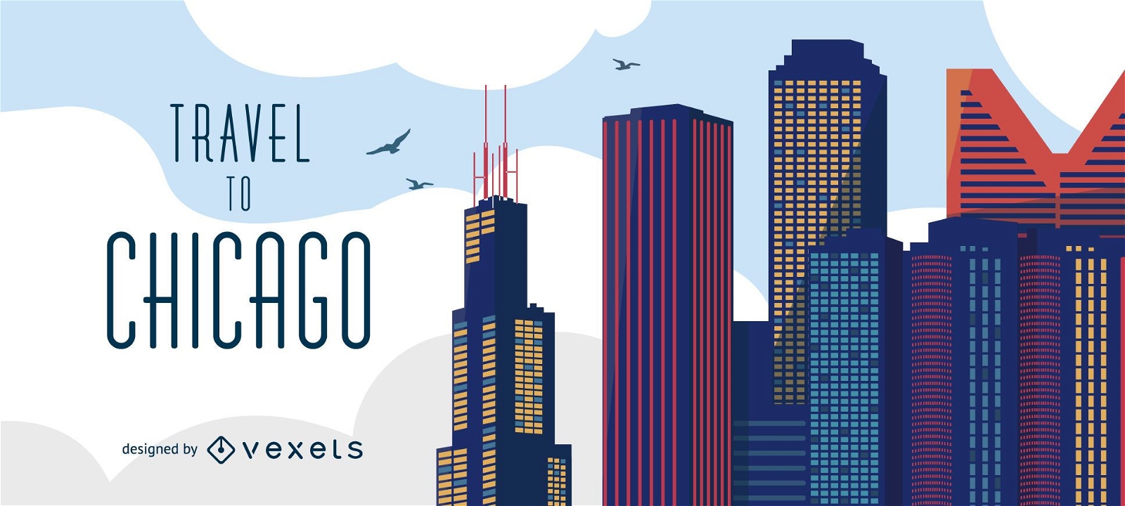
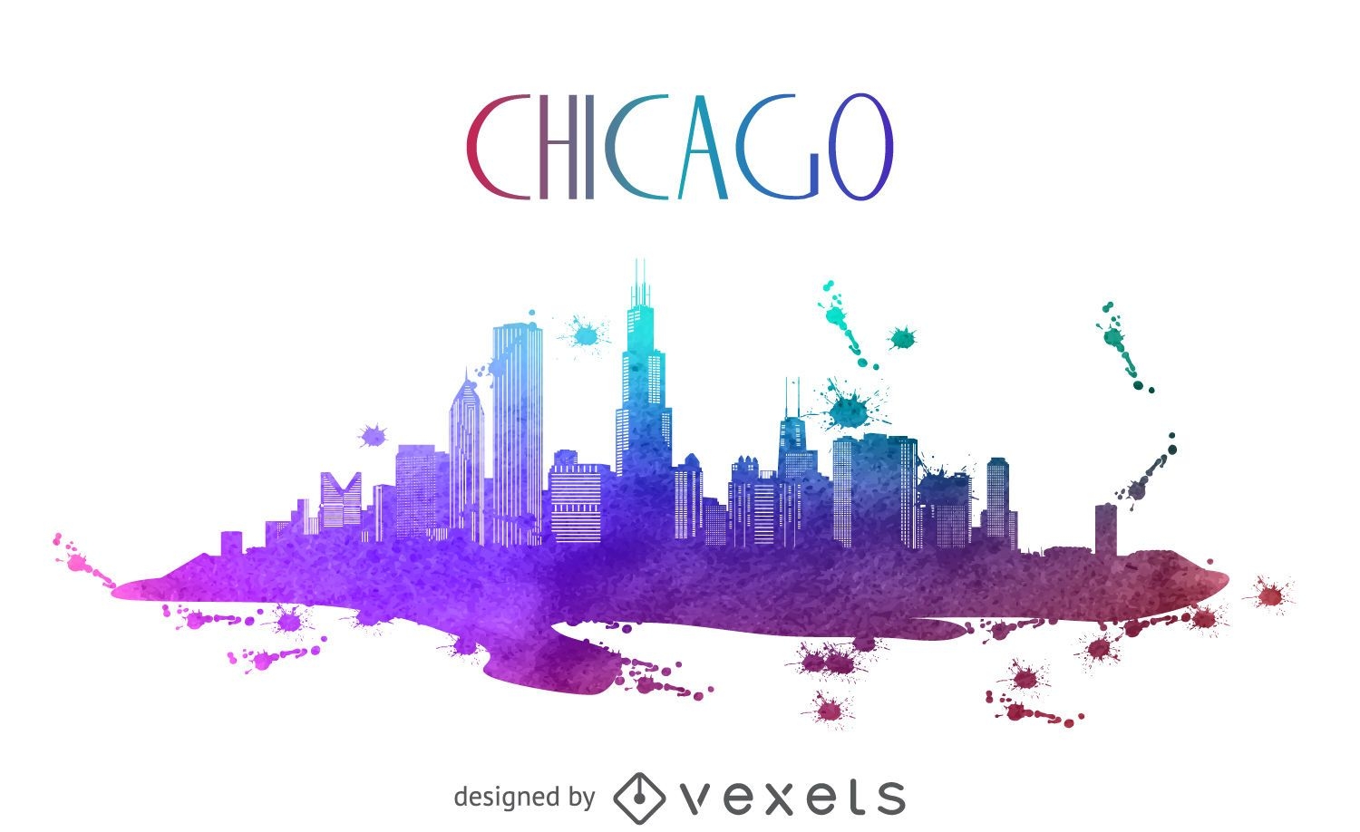
Travel to Chicago skyline
Choose a folder
All favorites
Create new
Save
Travel to Chicago skyline
Premium
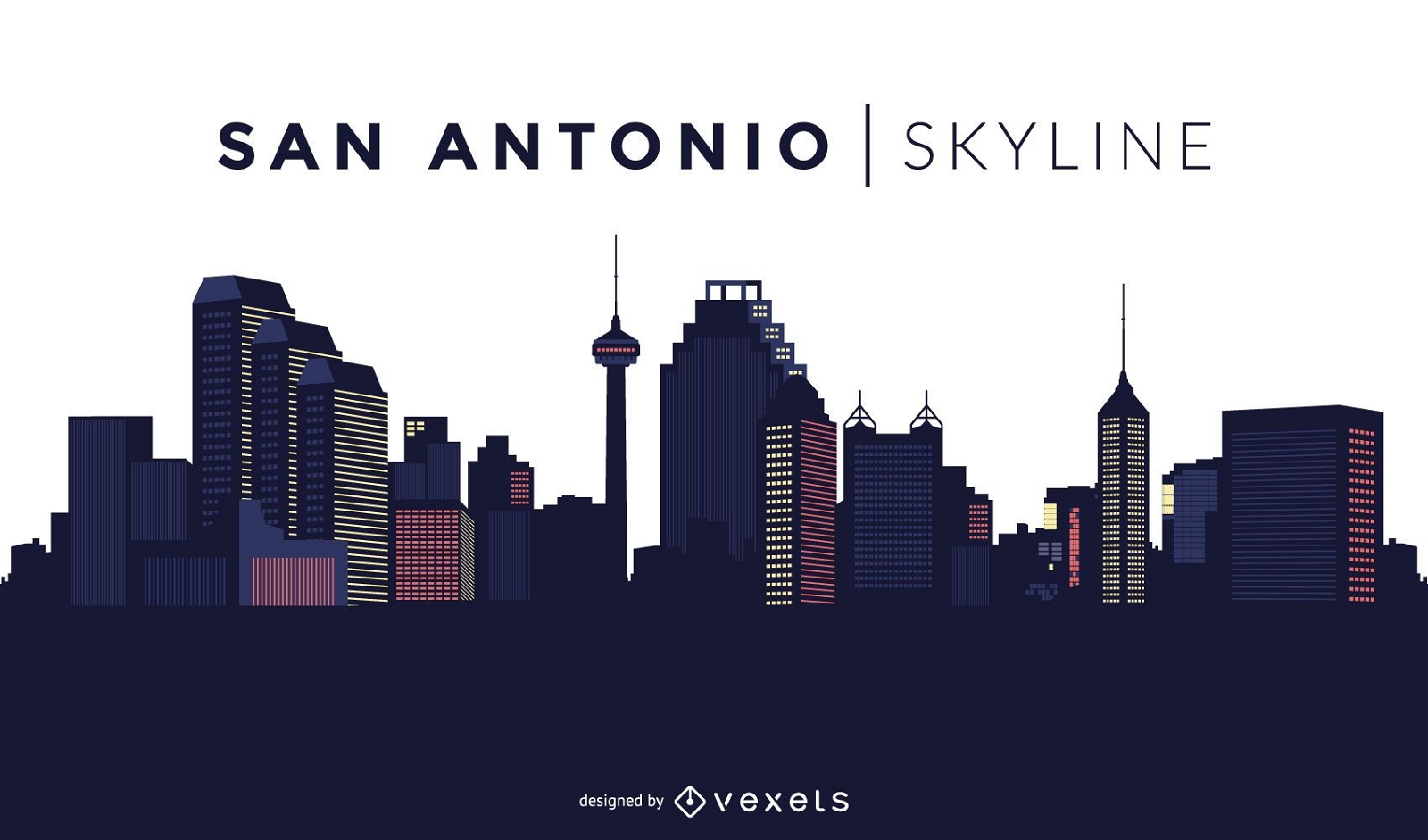
San Antonio skyline design
Choose a folder
All favorites
Create new
Save
San Antonio skyline design
Premium
Colorful San Francisco skyline
Choose a folder
All favorites
Create new
Save
Colorful San Francisco skyline
Premium
Colorful San Antonio skyline
Choose a folder
All favorites
Create new
Save
Colorful San Antonio skyline
Premium
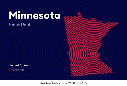
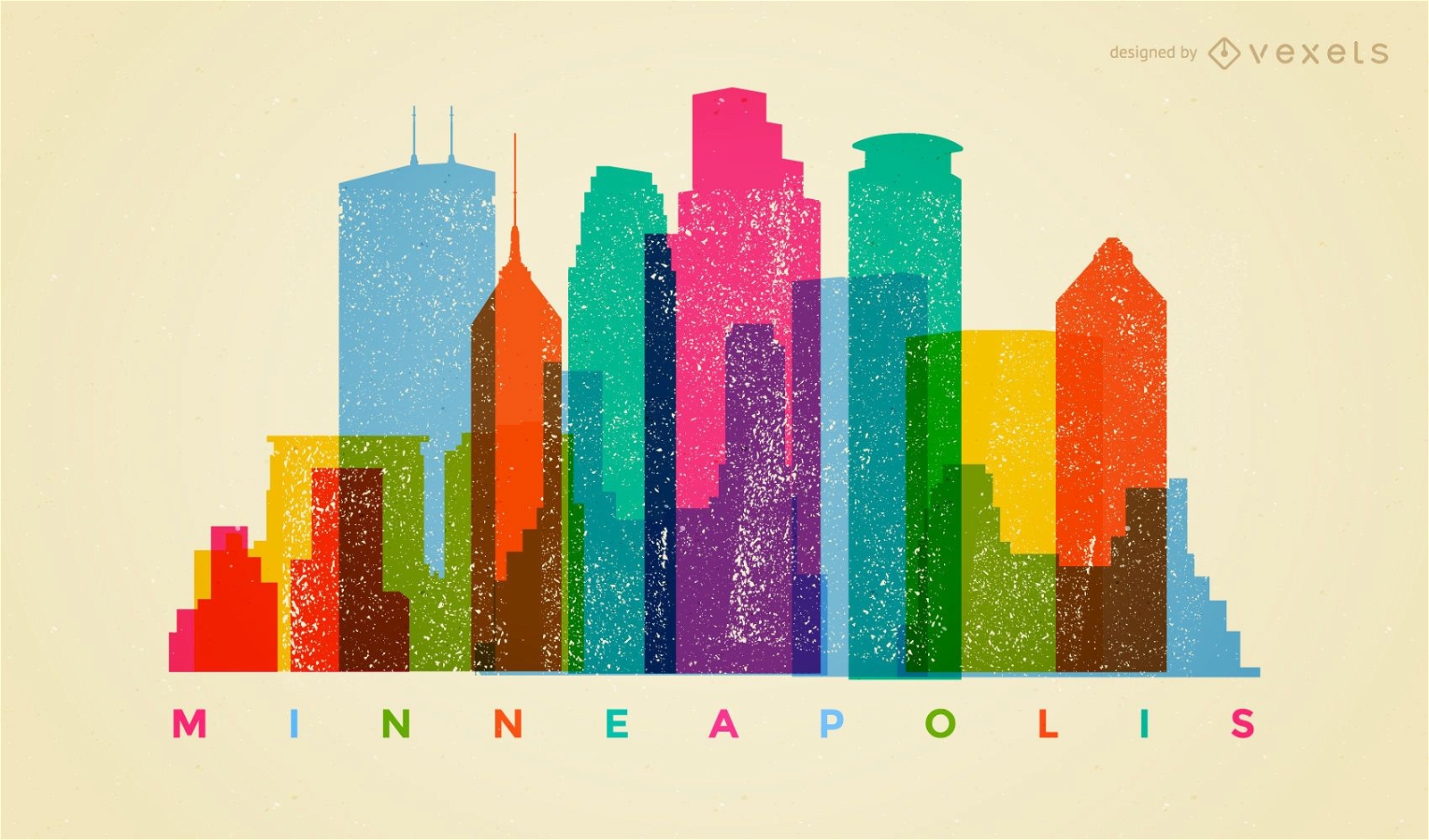
Colorful Minneapolis skyline
Choose a folder
All favorites
Create new
Save
Colorful Minneapolis skyline
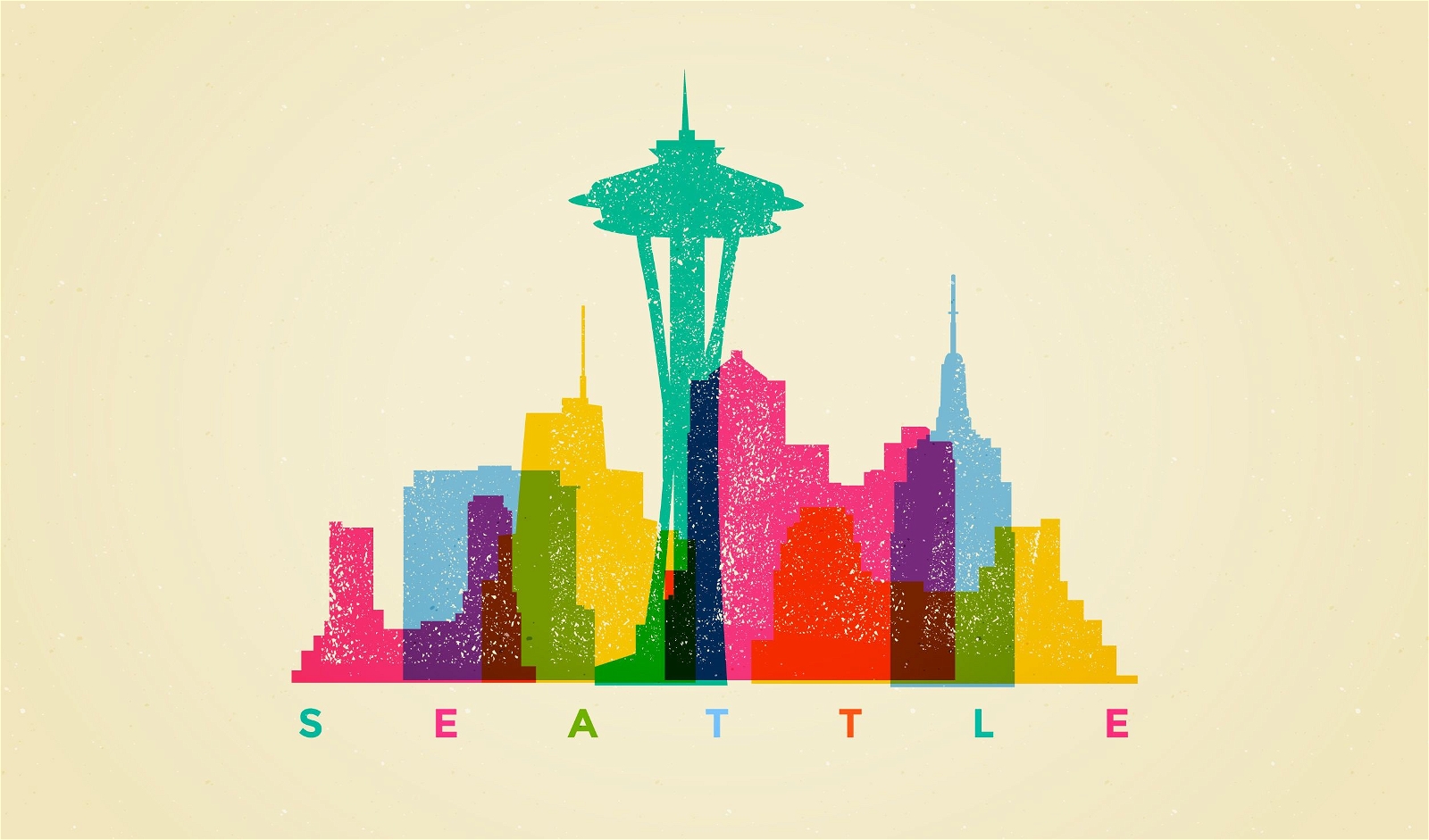
Seattle Skyline Illustration
Choose a folder
All favorites
Create new
Save
Seattle Skyline Illustration
Philadelphia Skyline Illustration
Choose a folder
All favorites
Create new
Save
Philadelphia Skyline Illustration
Premium
Patriotic Firework Sticker Set
Choose a folder
All favorites
Create new
Save
Patriotic Firework Sticker Set
Premium
New Orleans stroke skyline
Choose a folder
All favorites
Create new
Save
New Orleans stroke skyline
Premium
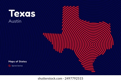
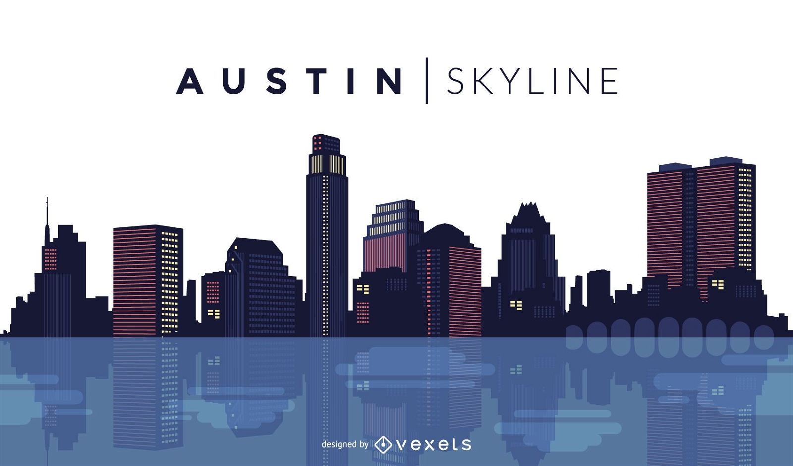
Austin skyline design
Choose a folder
All favorites
Create new
Save
Austin skyline design
Chicago watercolor skyline silhouette
Choose a folder
All favorites
Create new
Save
Chicago watercolor skyline silhouette
Premium
Colorful Seattle skyline
Choose a folder
All favorites
Create new
Save
Colorful Seattle skyline
Premium
Veterans day eagle badge set
Choose a folder
All favorites
Create new
Save
Veterans day eagle badge set
Premium
Phoenix skyline design
Choose a folder
All favorites
Create new
Save
Phoenix skyline design
Premium
Travel to San Francisco skyline
Choose a folder
All favorites
Create new
Save
Travel to San Francisco skyline
Premium
Silhouette San Jose California skyline
Choose a folder
All favorites
Create new
Save
Silhouette San Jose California skyline
Premium
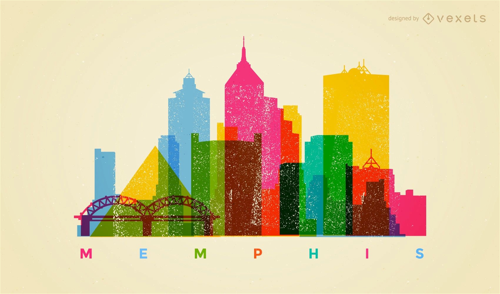
Colorful Memphis skyline
Choose a folder
All favorites
Create new
Save
Colorful Memphis skyline
Premium
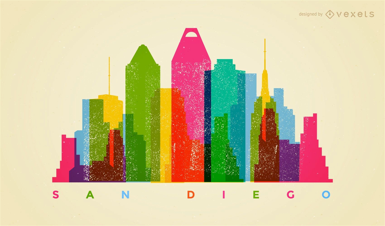
Colorful San Diego skyline
Choose a folder
All favorites
Create new
Save
Colorful San Diego skyline
Premium
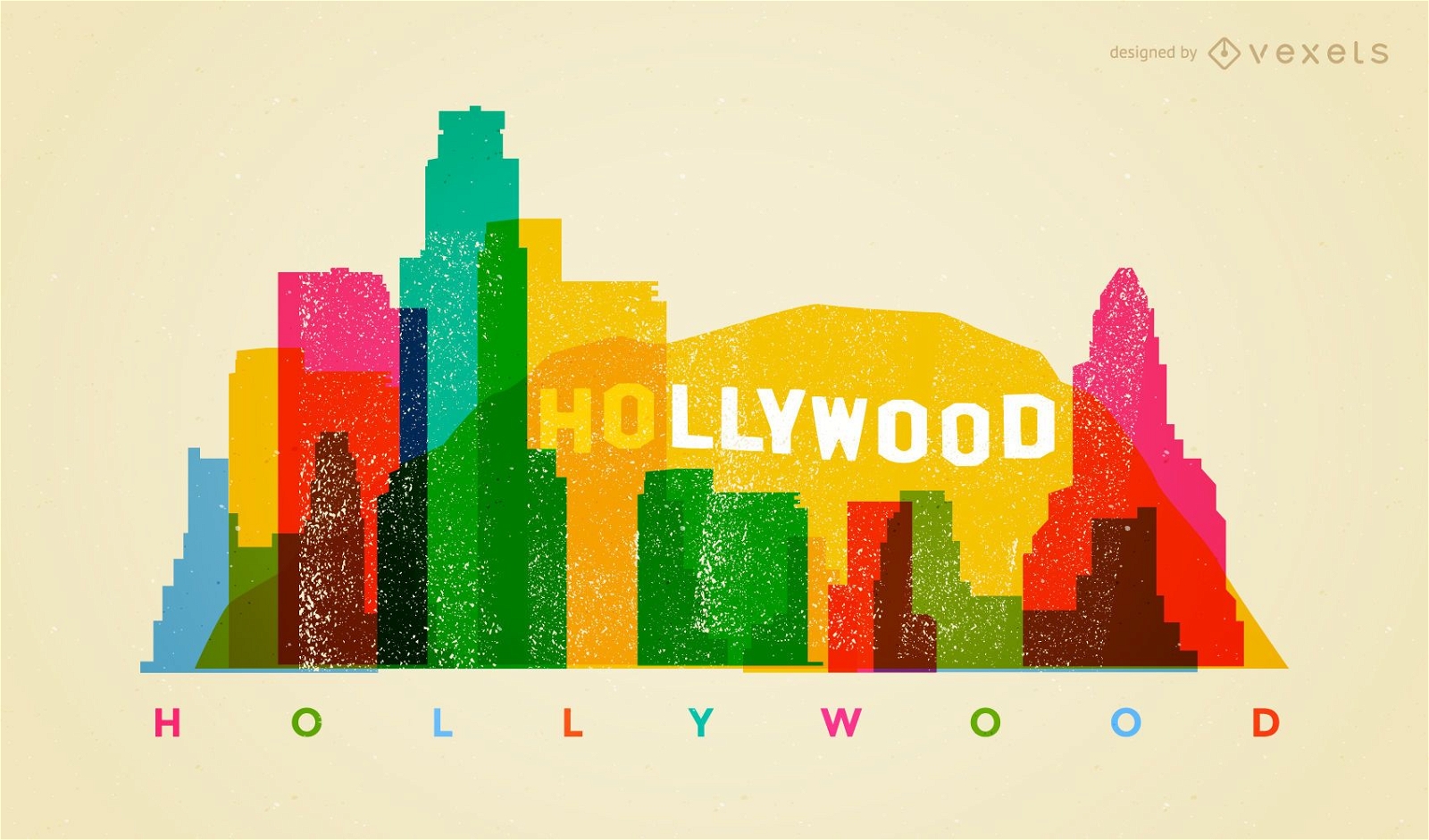
Colorful Hollywood skyline
Choose a folder
All favorites
Create new
Save
Colorful Hollywood skyline
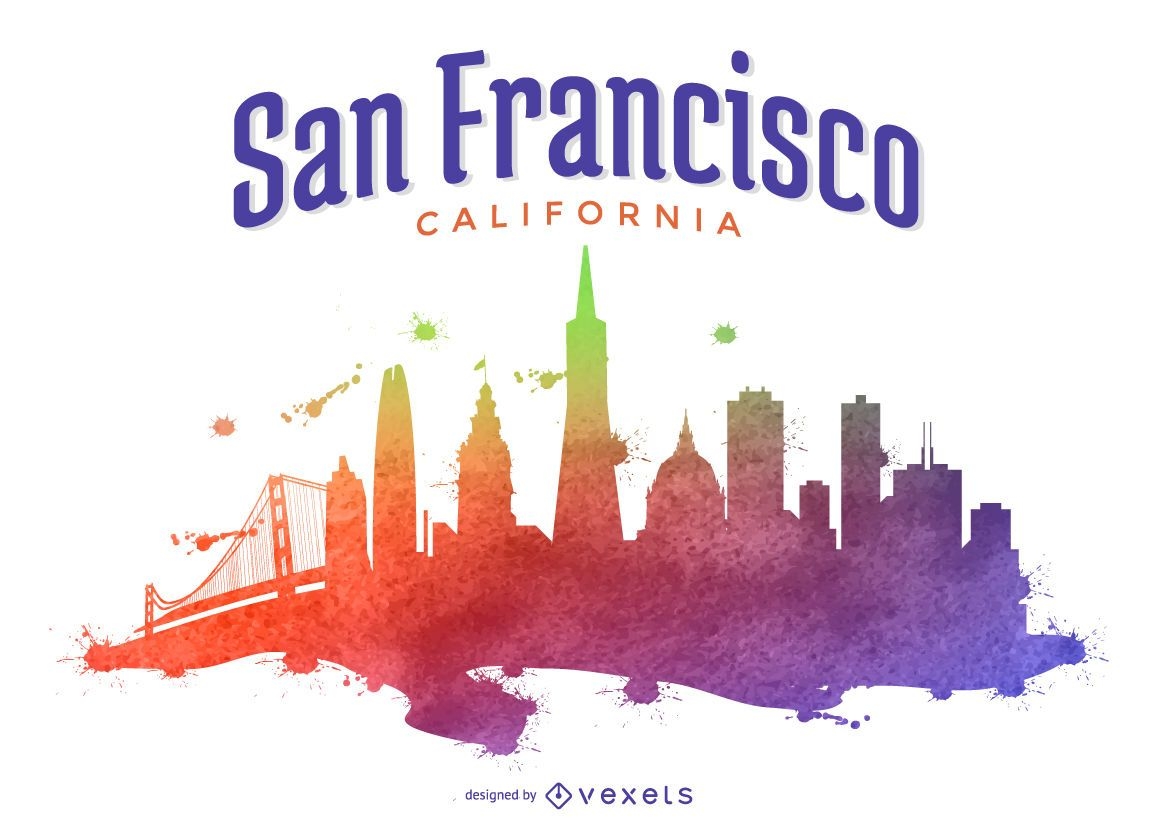
San Francisco colorful skyline illustration
Choose a folder
All favorites
Create new
Save
San Francisco colorful skyline illustration
Premium
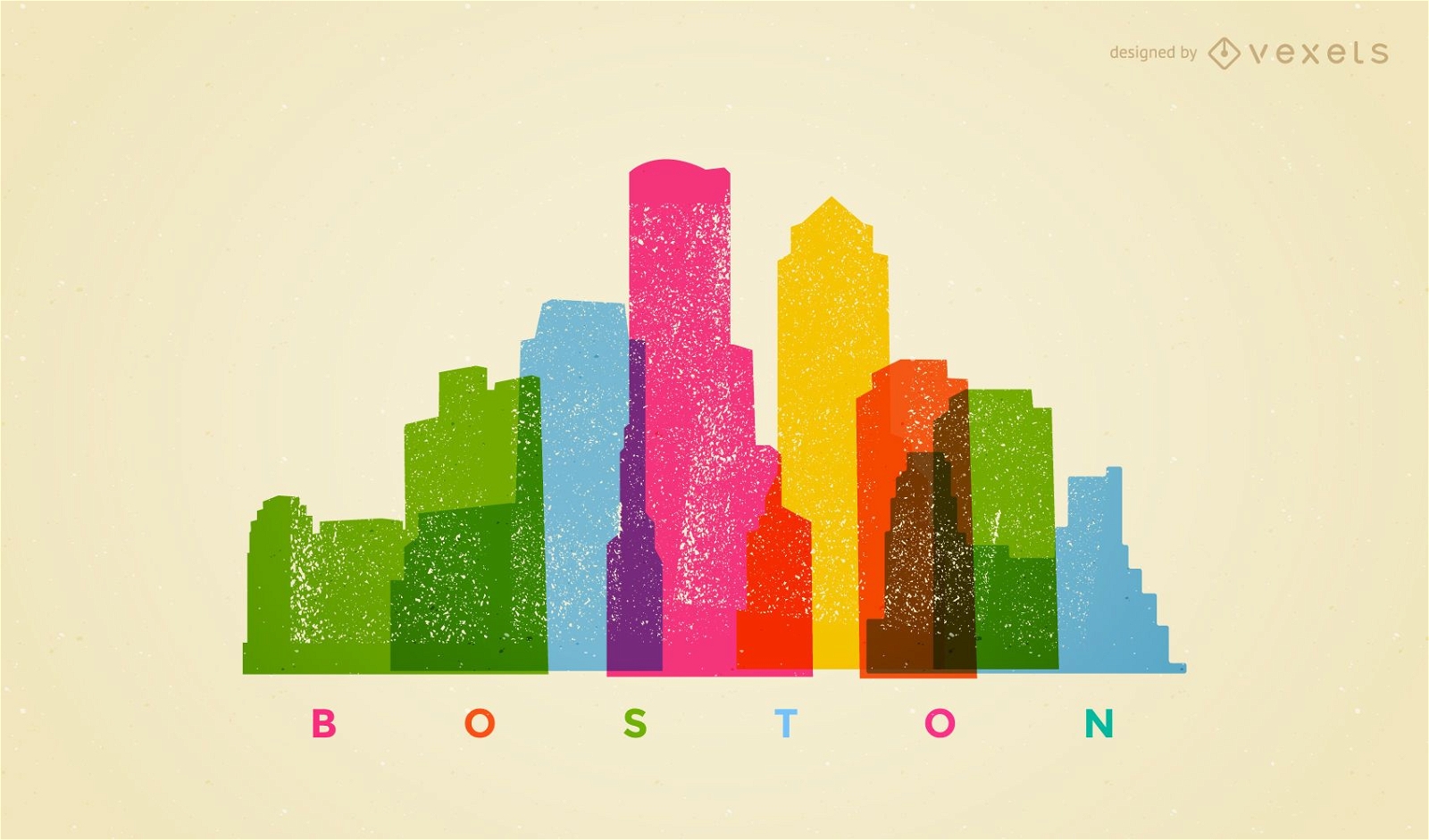
Colorful Boston skyline
Choose a folder
All favorites
Create new
Save
Colorful Boston skyline
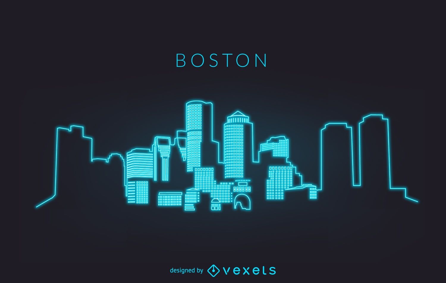
Neon Boston skyline silhouette
Choose a folder
All favorites
Create new
Save
Neon Boston skyline silhouette
Premium
Independence day sticker set
Choose a folder
All favorites
Create new
Save
Independence day sticker set
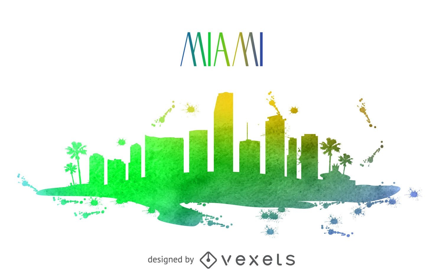
Miami watercolor skyline
Choose a folder
All favorites
Create new
Save
Miami watercolor skyline
City buildings badge set
Choose a folder
All favorites
Create new
Save
City buildings badge set
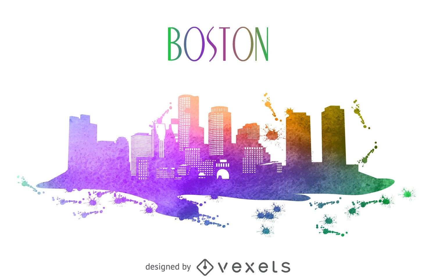
Boston watercolor skyline
Choose a folder
All favorites
Create new
Save
Boston watercolor skyline
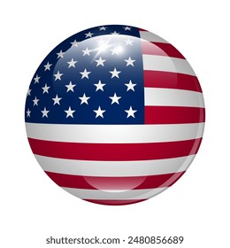
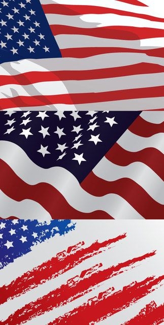
USA Flag Designs
Choose a folder
All favorites
Create new
Save
USA Flag Designs
Cityscape illustration banners
Choose a folder
All favorites
Create new
Save
Cityscape illustration banners
Premium
4th of july lettering pack
Choose a folder
All favorites
Create new
Save
4th of july lettering pack
Premium
4th of July badge with starburst background
Choose a folder
All favorites
Create new
Save
4th of July badge with starburst background
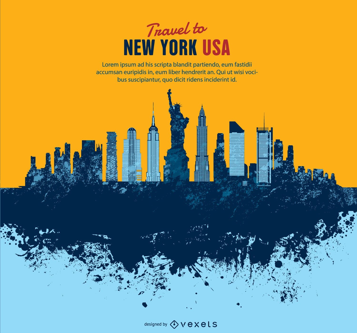
New York postcard illustration
Choose a folder
All favorites
Create new
Save
New York postcard illustration
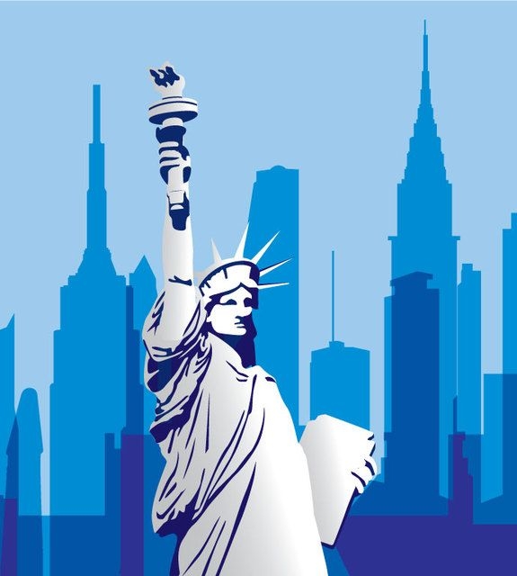
USA Monument Cityscape
Choose a folder
All favorites
Create new
Save
USA Monument Cityscape
Las Vegas city silhouettes on July 4th
Choose a folder
All favorites
Create new
Save
Las Vegas city silhouettes on July 4th
Premium
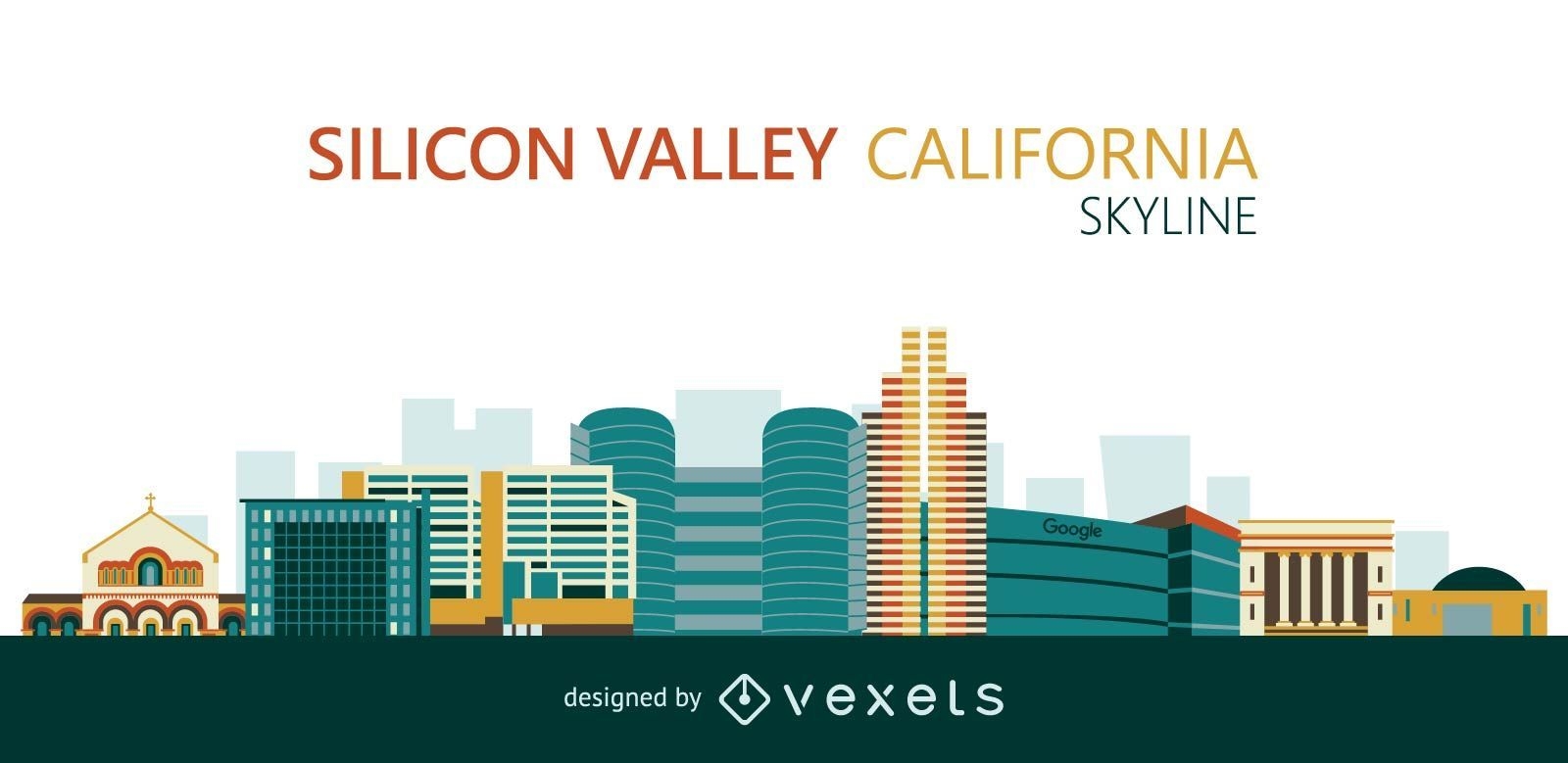
Flat Silicon Valley skyline
Choose a folder
All favorites
Create new
Save
Flat Silicon Valley skyline
Premium
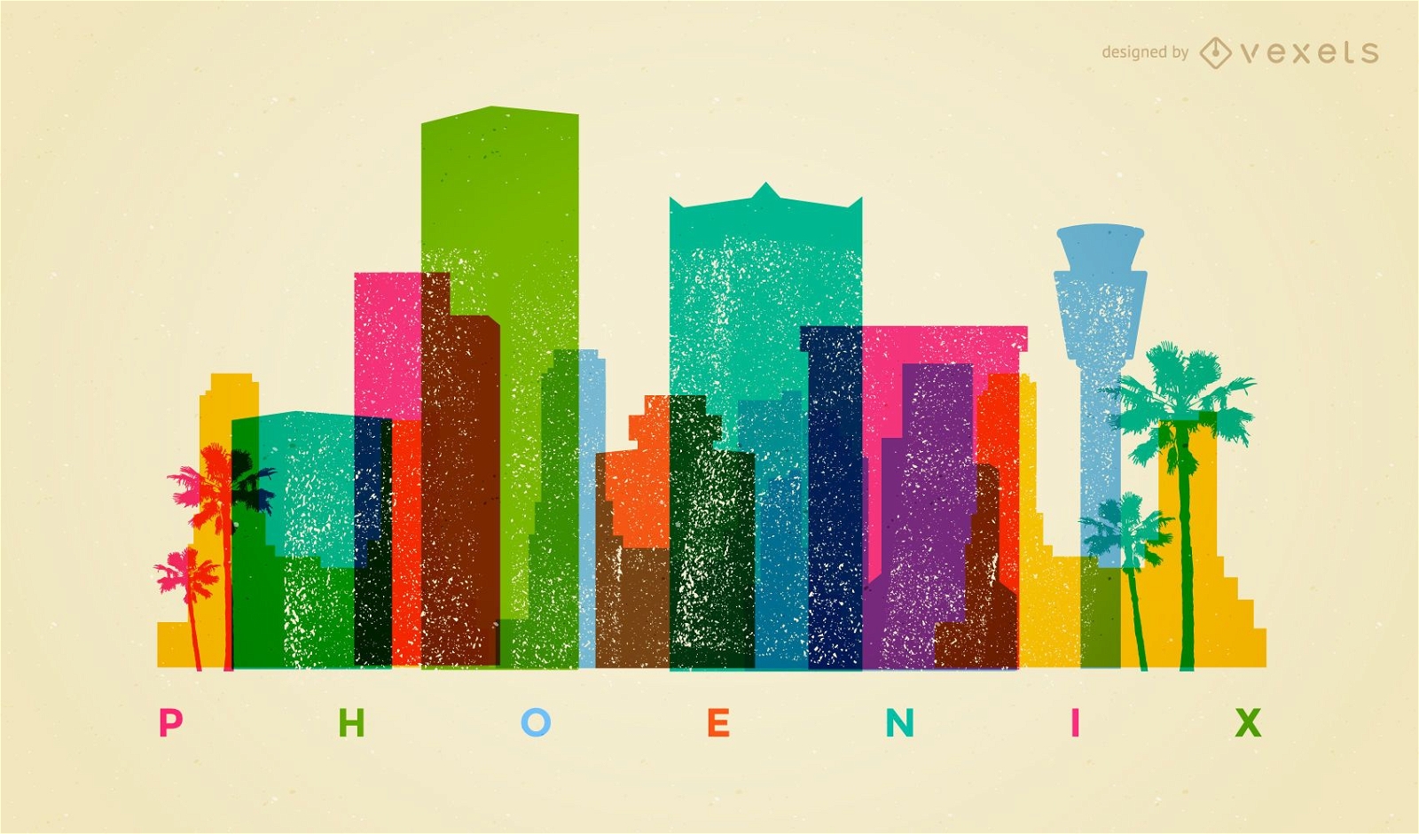
Colorful Phoenix skyline
Choose a folder
All favorites
Create new
Save
Colorful Phoenix skyline
Monuments around world circle logo
Choose a folder
All favorites
Create new
Save
Monuments around world circle logo
Polygonal Independence Day texture
Choose a folder
All favorites
Create new
Save
Polygonal Independence Day texture
Manhattan Grung Skyline
Choose a folder
All favorites
Create new
Save
Manhattan Grung Skyline
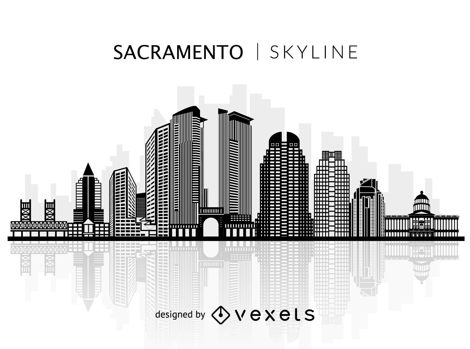
Silhouette of Sacramento skyline
Choose a folder
All favorites
Create new
Save
Silhouette of Sacramento skyline
Premium
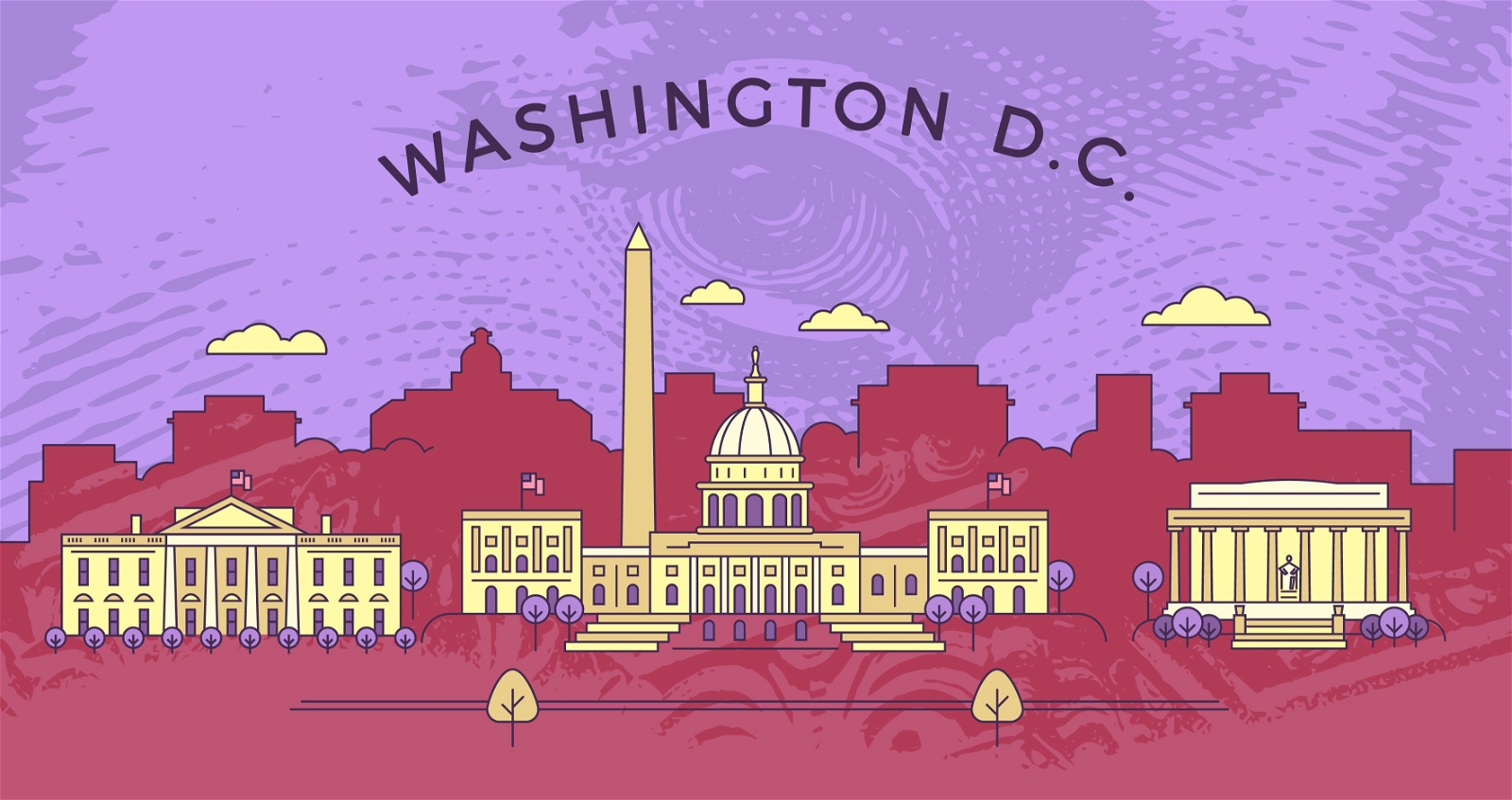
Flat stroke Washington skyline
Choose a folder
All favorites
Create new
Save
Flat stroke Washington skyline
Boost Your Business
With The Leading Graphic Platform For Merch.
SEE PLANS
Next
of 8
prev page
next page