Design Library
New Merch Designs
T-Shirts
Vectors
Trending Merch Designs
PNGs & SVGs
Mockups
T-Shirt PSD Templates
Explore Designs
KDP Designs
Posters
Mugs
Phone Cases
Tote Bags
Pillows
Design Tools
Merch Designer
New!
Mockup Generator
AI Design Generator
Image Vectorizer
Quote Generator
T-Shirt Maker (Old)
Resources
Merch Digest
Blog
Help Center
Learn About Merch
Feedback
Corporate Solutions
Enterprise
API Access
Design Studio
Bulk Design Production
Pricing
Loading...
Sign Up
Login
Merch Vectors
geografia
Design Library
New Merch Designs
T-Shirts
Vectors
Trending Merch Designs
PNGs & SVGs
Mockups
T-Shirt PSD Templates
Explore Designs
KDP Designs
Posters
Mugs
Phone Cases
Tote Bags
Pillows
Design Tools
Merch Designer
New!
Mockup Generator
AI Design Generator
Image Vectorizer
Quote Generator
T-Shirt Maker (Old)
Resources
Merch Digest
Blog
Help Center
Learn About Merch
Feedback
Corporate Solutions
Enterprise
API Access
Design Studio
Bulk Design Production
PLANS
Merch Vectors
geografia
85 geografia Vector Designs for T-Shirts and merch
Download & buy editable geografia AI Vector Graphics Designs for T shirts, Phone Cases, Book Covers and other Merch
Sort by
Most relevant
Sponsored results by
Get 15% off with code: VEXELS15
Show more
German Content
Premium
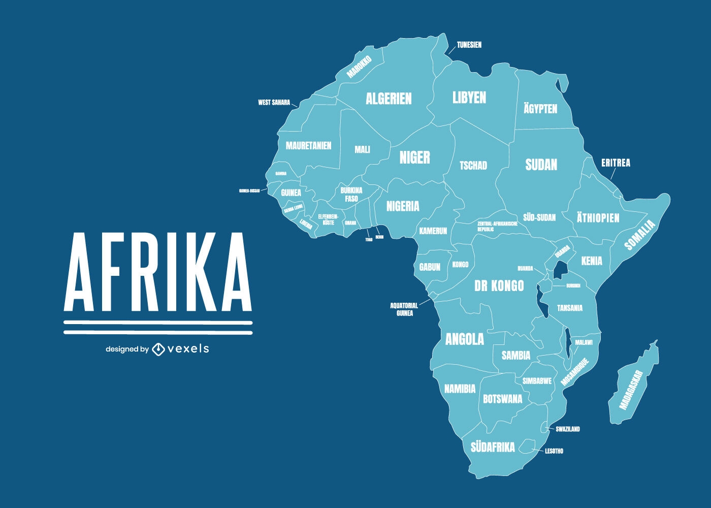
Geographical map of Africa with country names
Choose a folder
All favorites
Create new
Save
Geographical map of Africa with country names
Premium
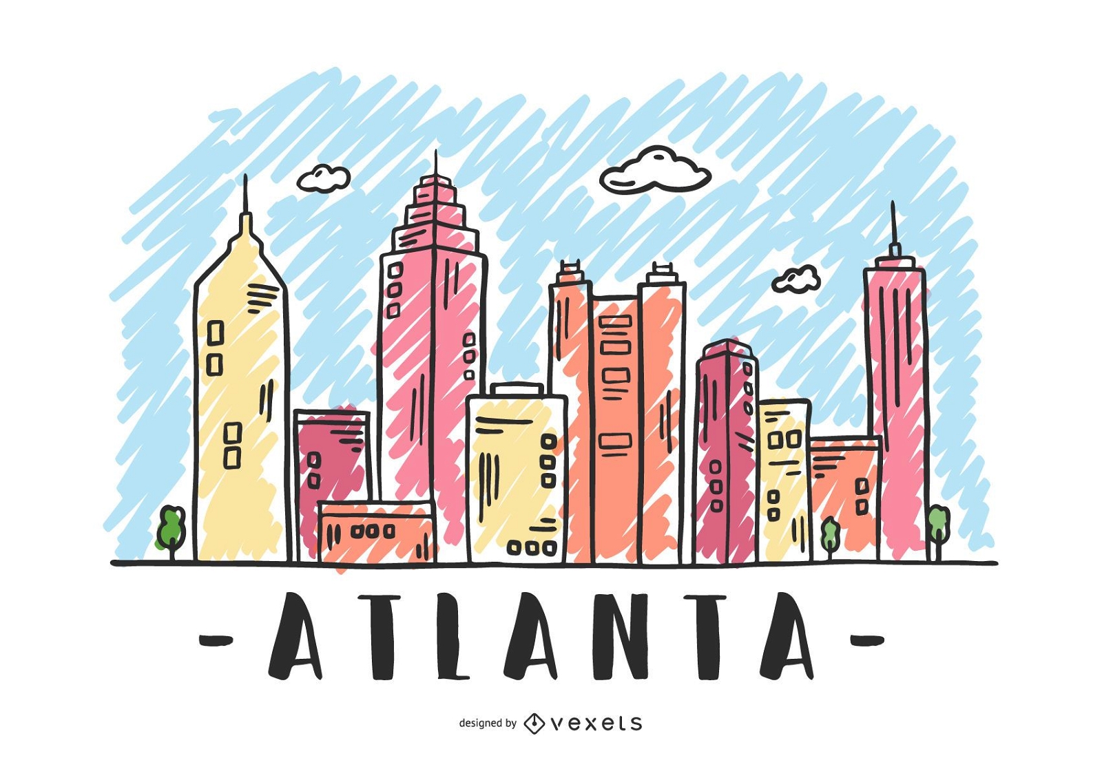
Atlanta USA Skyline Design
Choose a folder
All favorites
Create new
Save
Atlanta USA Skyline Design
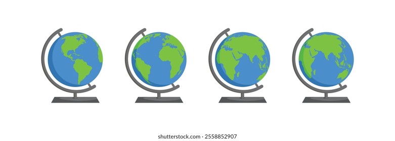
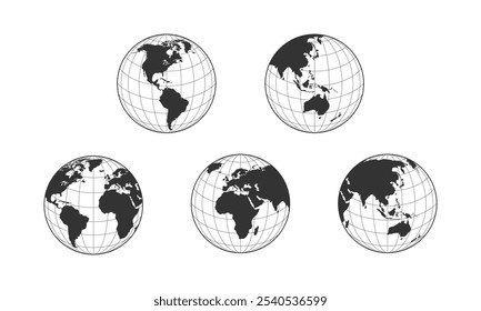
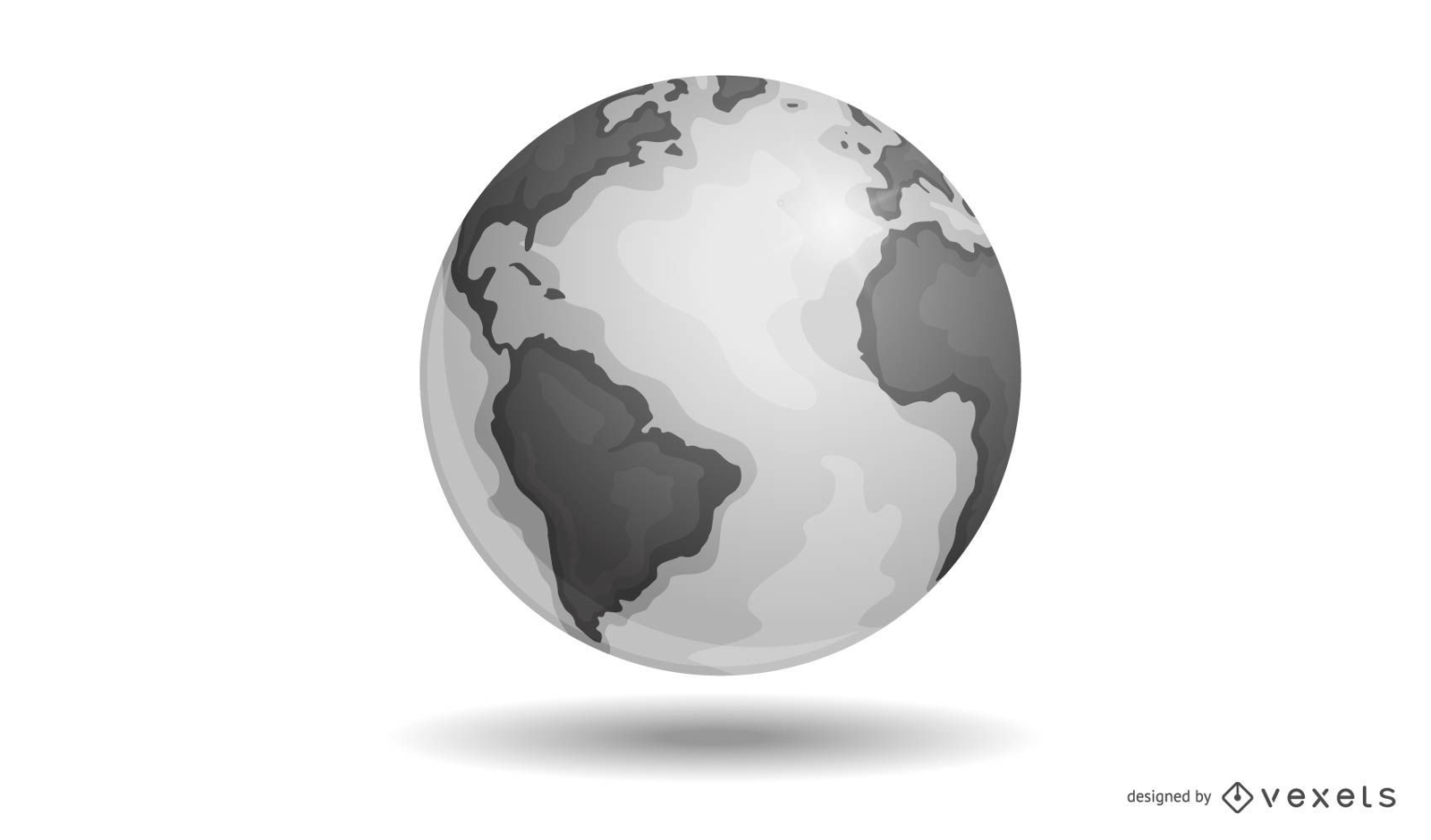
Vector Earth
Choose a folder
All favorites
Create new
Save
Vector Earth
Premium
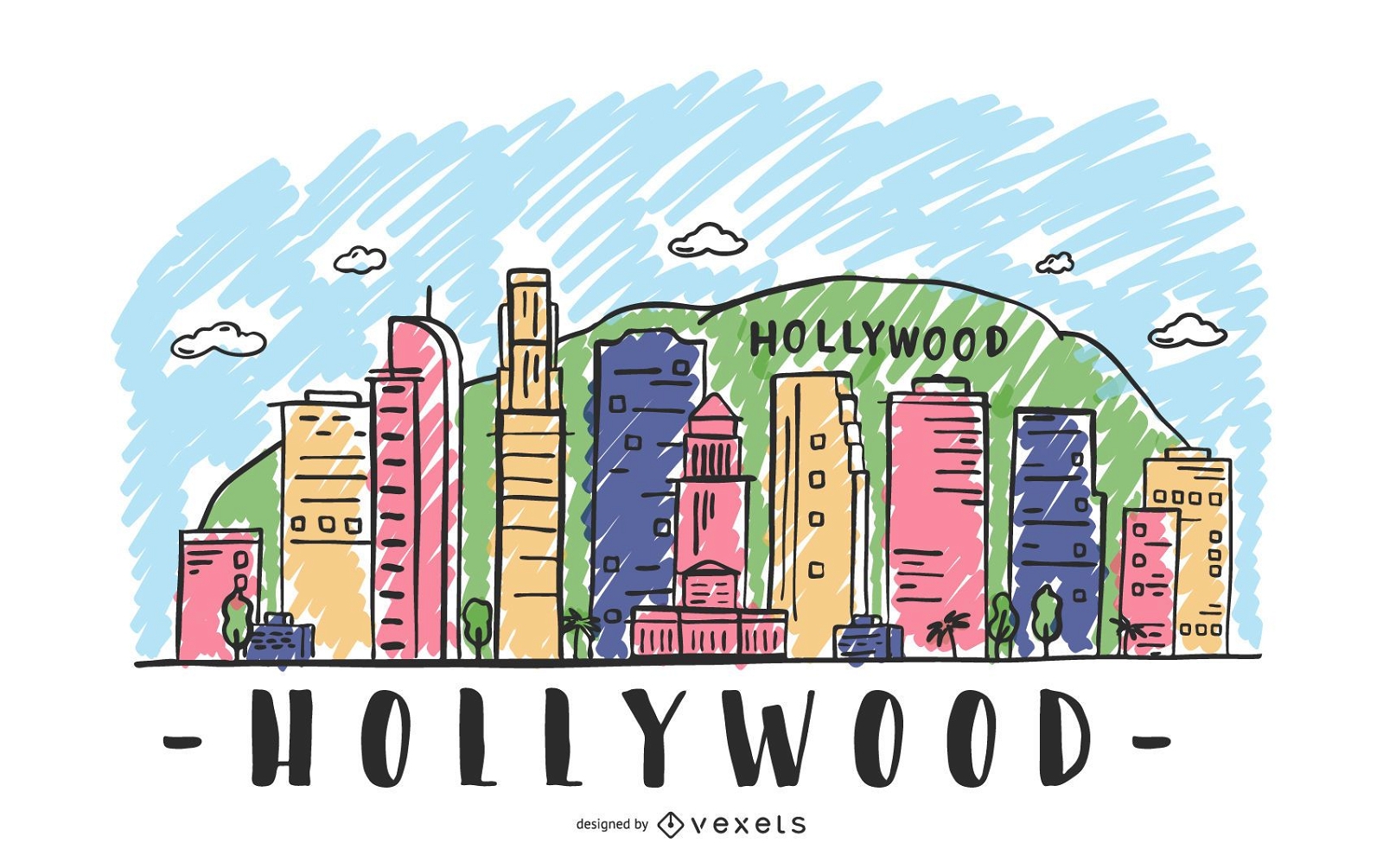
Hollywood Skyline Illustration
Choose a folder
All favorites
Create new
Save
Hollywood Skyline Illustration
Premium
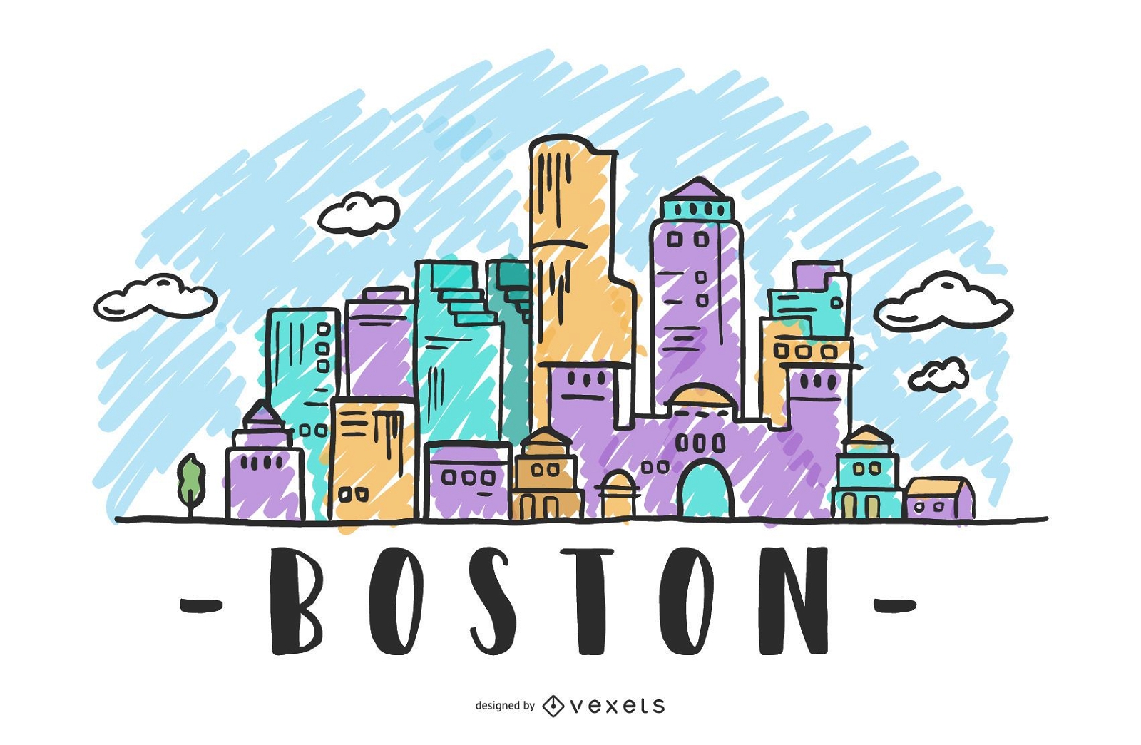
Boston USA Skyline Design
Choose a folder
All favorites
Create new
Save
Boston USA Skyline Design
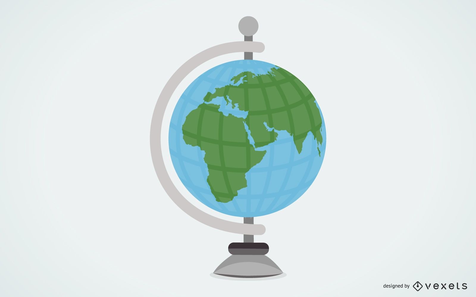
Globe Vector 2
Choose a folder
All favorites
Create new
Save
Globe Vector 2
Premium
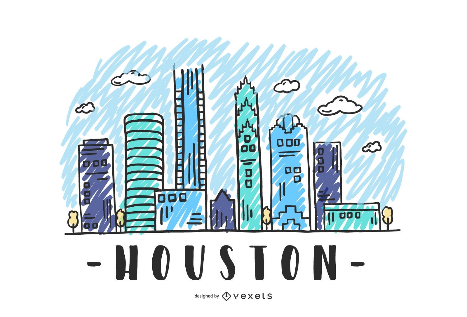
Houston USA Skyline Design
Choose a folder
All favorites
Create new
Save
Houston USA Skyline Design
Female professor pointing at world globe
Choose a folder
All favorites
Create new
Save
Female professor pointing at world globe
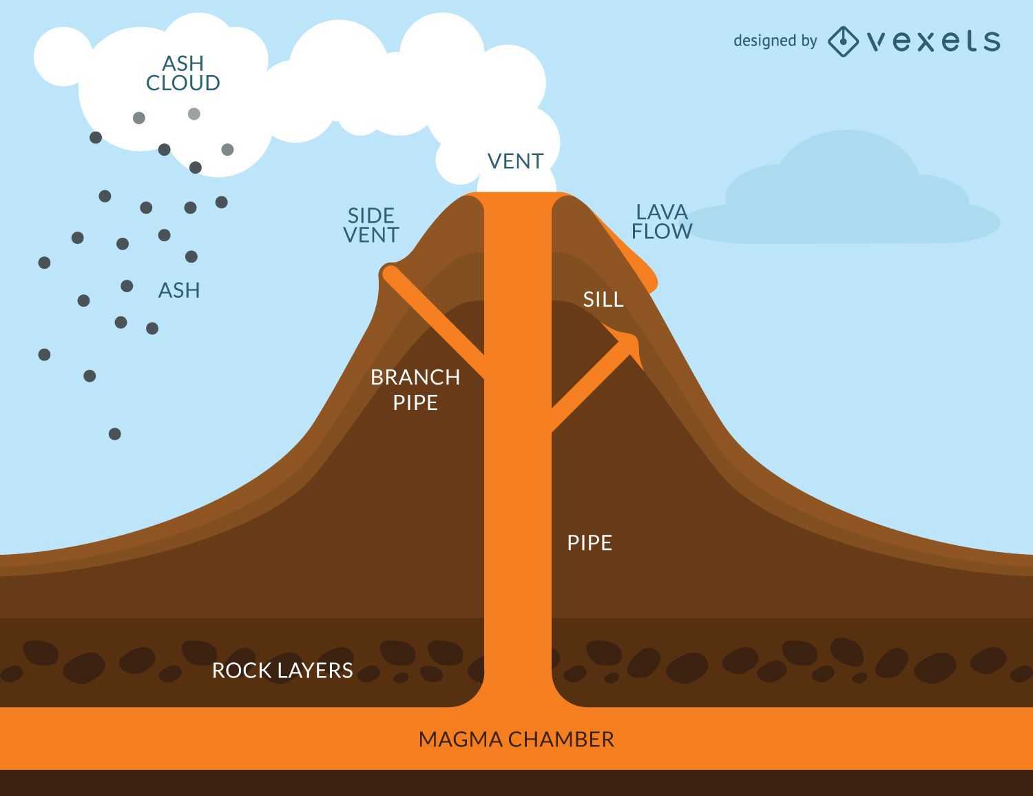
Volcano eruption infographic
Choose a folder
All favorites
Create new
Save
Volcano eruption infographic
Business people
Choose a folder
All favorites
Create new
Save
Business people
Premium
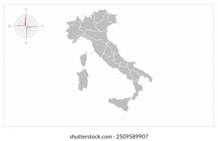
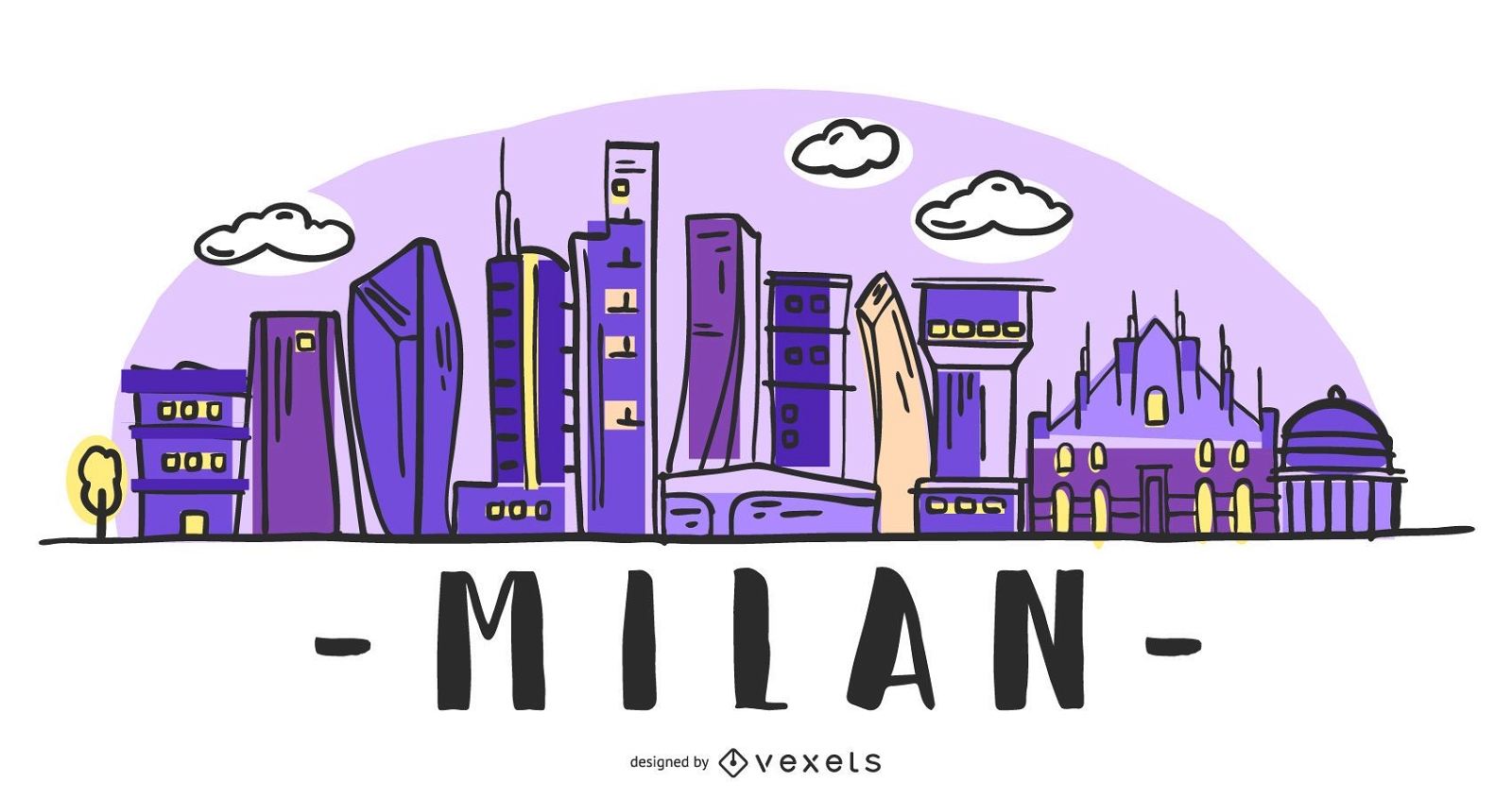
Milan Italy Skyline Design
Choose a folder
All favorites
Create new
Save
Milan Italy Skyline Design
Premium
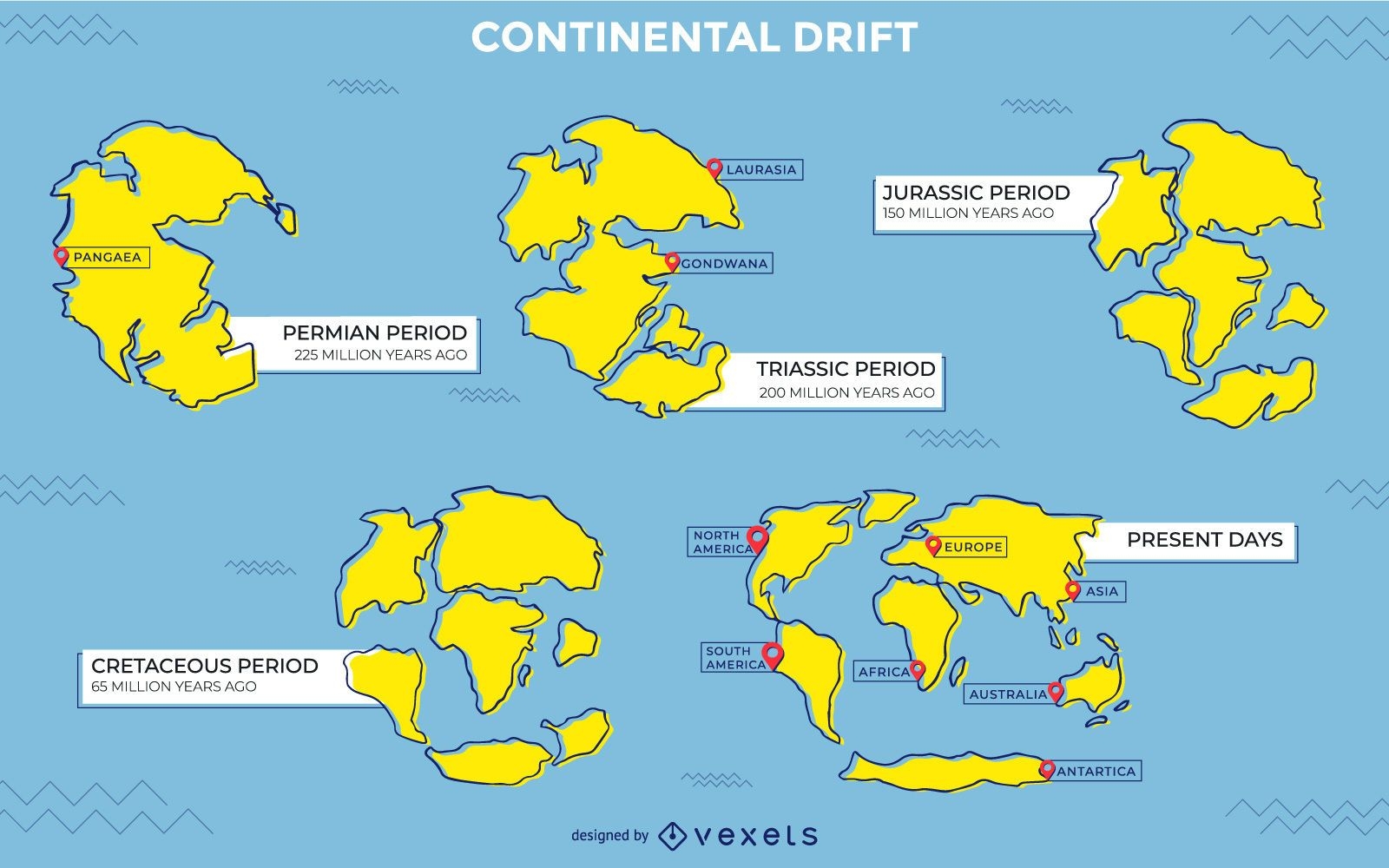
Continental drift illustration design
Choose a folder
All favorites
Create new
Save
Continental drift illustration design
German Content
Premium
Germany Animal Map Illustration
Choose a folder
All favorites
Create new
Save
Germany Animal Map Illustration
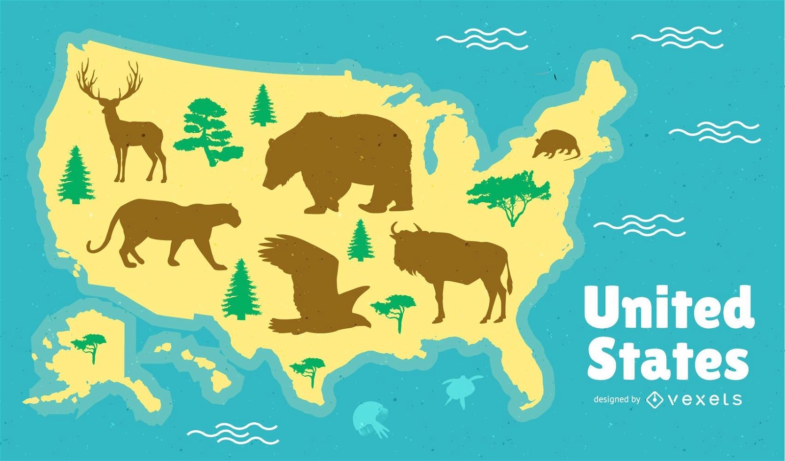
United States Map Design
Choose a folder
All favorites
Create new
Save
United States Map Design
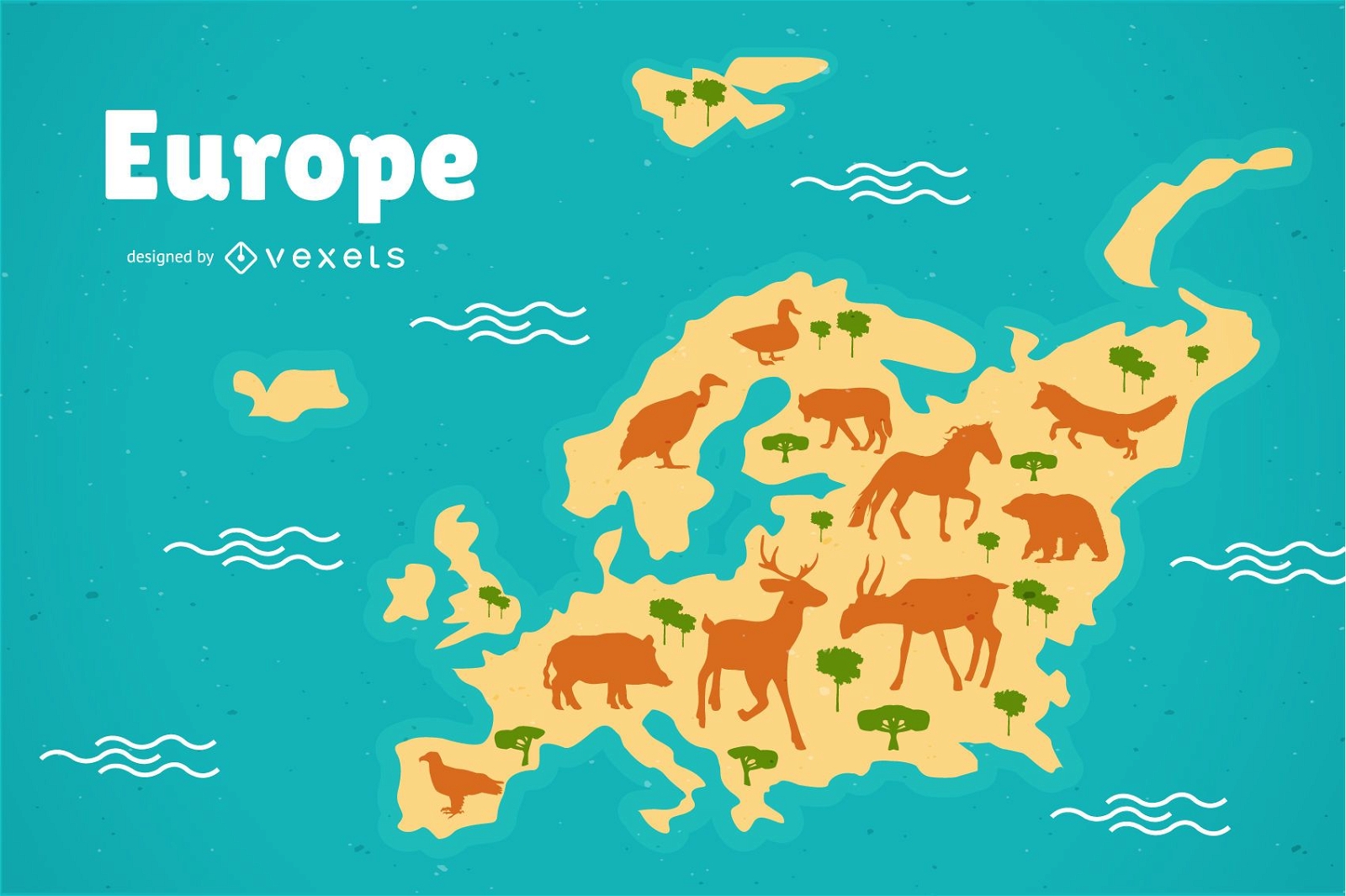
Europe animals Map Illustration
Choose a folder
All favorites
Create new
Save
Europe animals Map Illustration
Premium
Asia Animal Map Illustration
Choose a folder
All favorites
Create new
Save
Asia Animal Map Illustration
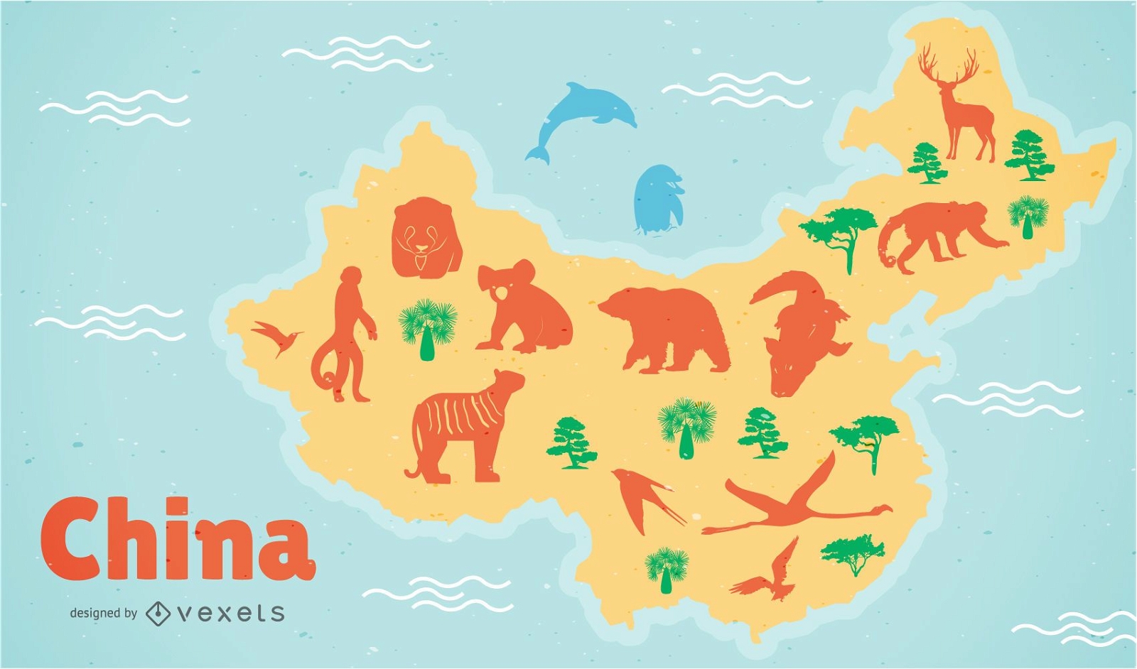
China Map Illustration
Choose a folder
All favorites
Create new
Save
China Map Illustration
Premium
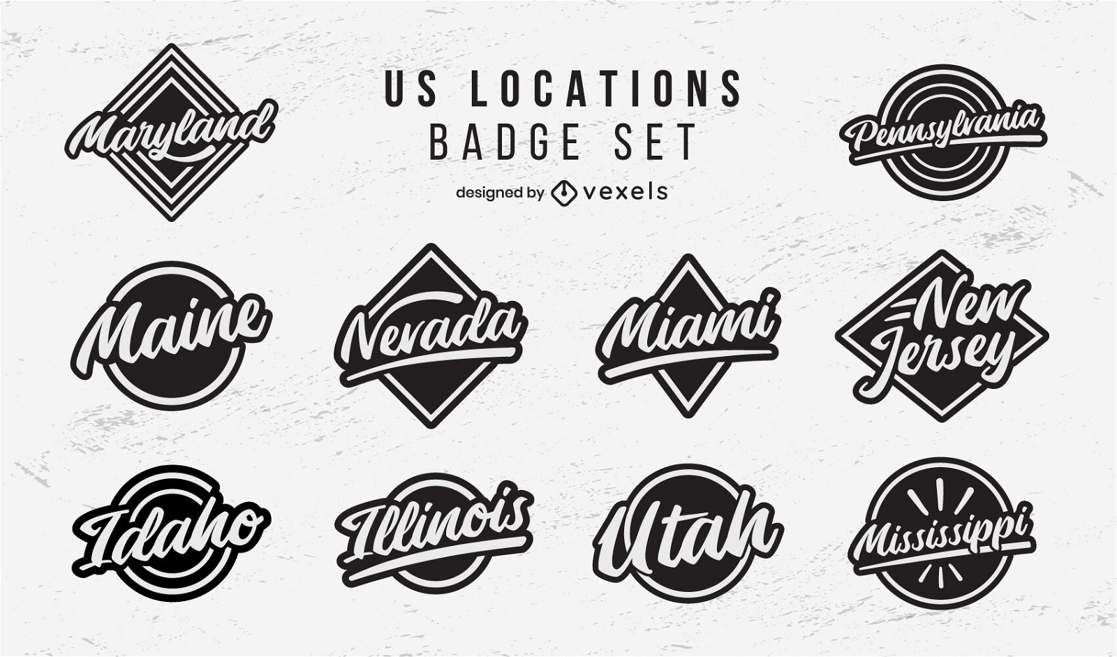
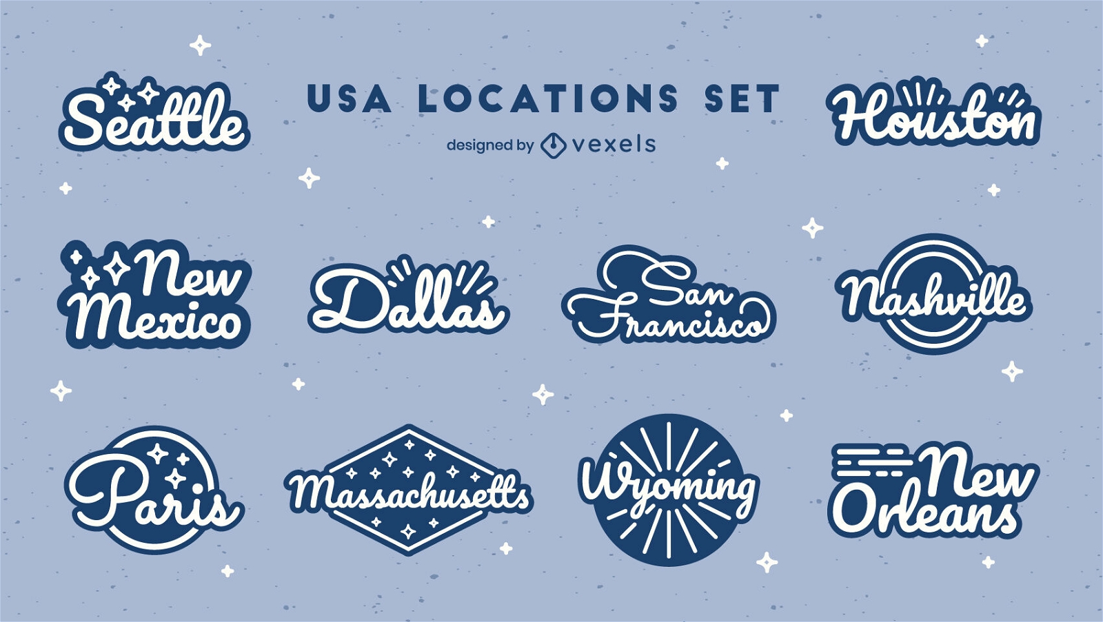
US locations badges lettering set
Choose a folder
All favorites
Create new
Save
US locations badges lettering set
Premium
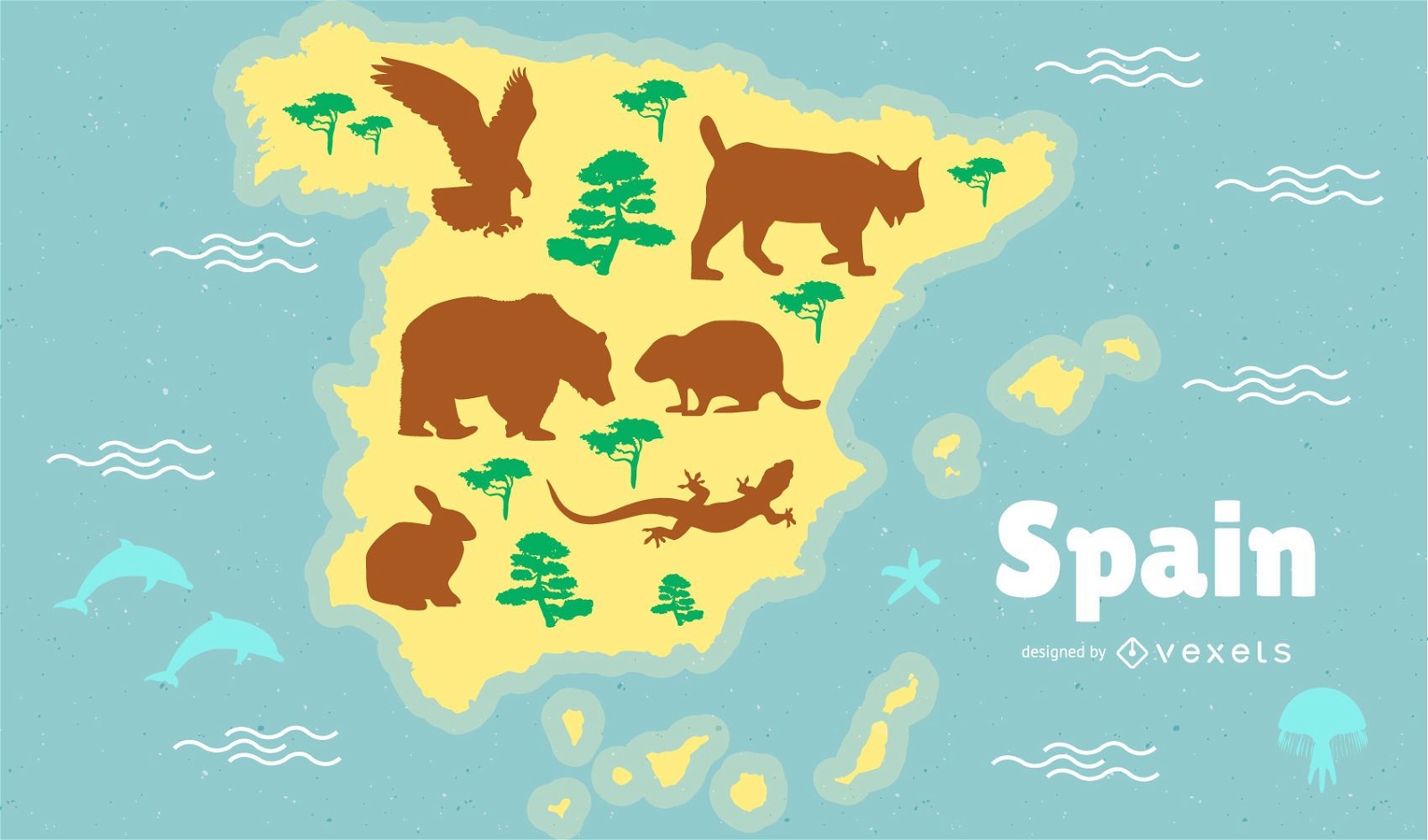
Spain Map Illustration
Choose a folder
All favorites
Create new
Save
Spain Map Illustration
Premium
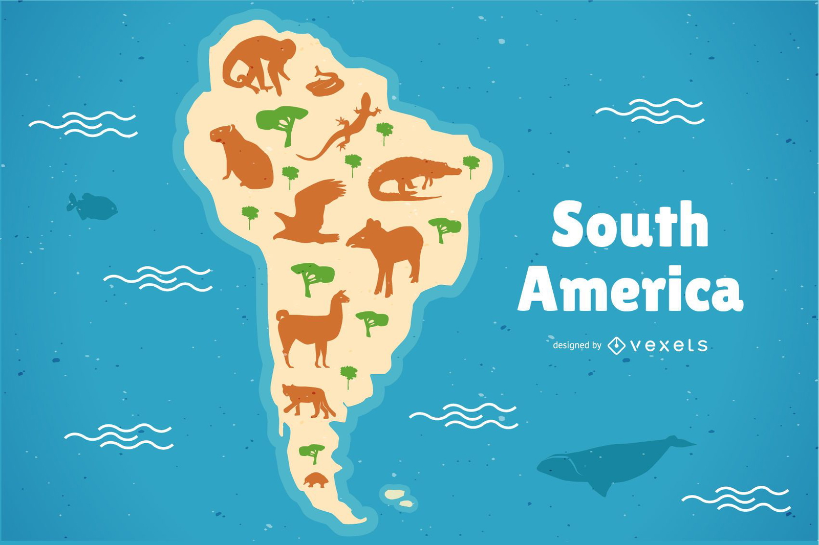
South America Animals Map Illustration
Choose a folder
All favorites
Create new
Save
South America Animals Map Illustration
Map of brazil with animals illustration
Choose a folder
All favorites
Create new
Save
Map of brazil with animals illustration
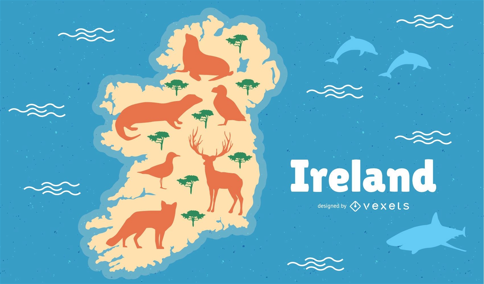
Ireland with Animals Map Illustration
Choose a folder
All favorites
Create new
Save
Ireland with Animals Map Illustration
Premium
US states lettering badges set
Choose a folder
All favorites
Create new
Save
US states lettering badges set
Premium
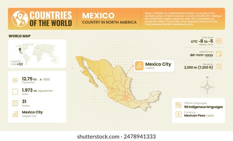
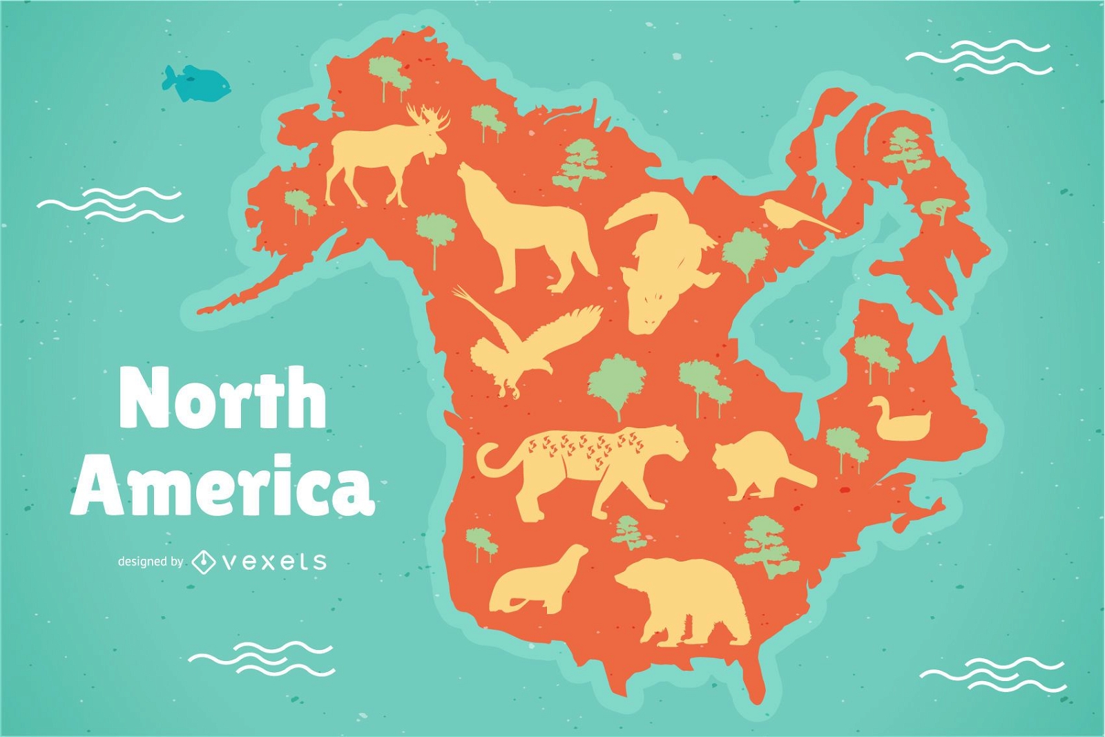
North America Map Illustration
Choose a folder
All favorites
Create new
Save
North America Map Illustration
Premium
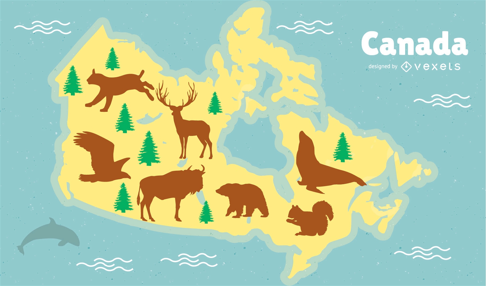
Canada Animals Map Design
Choose a folder
All favorites
Create new
Save
Canada Animals Map Design
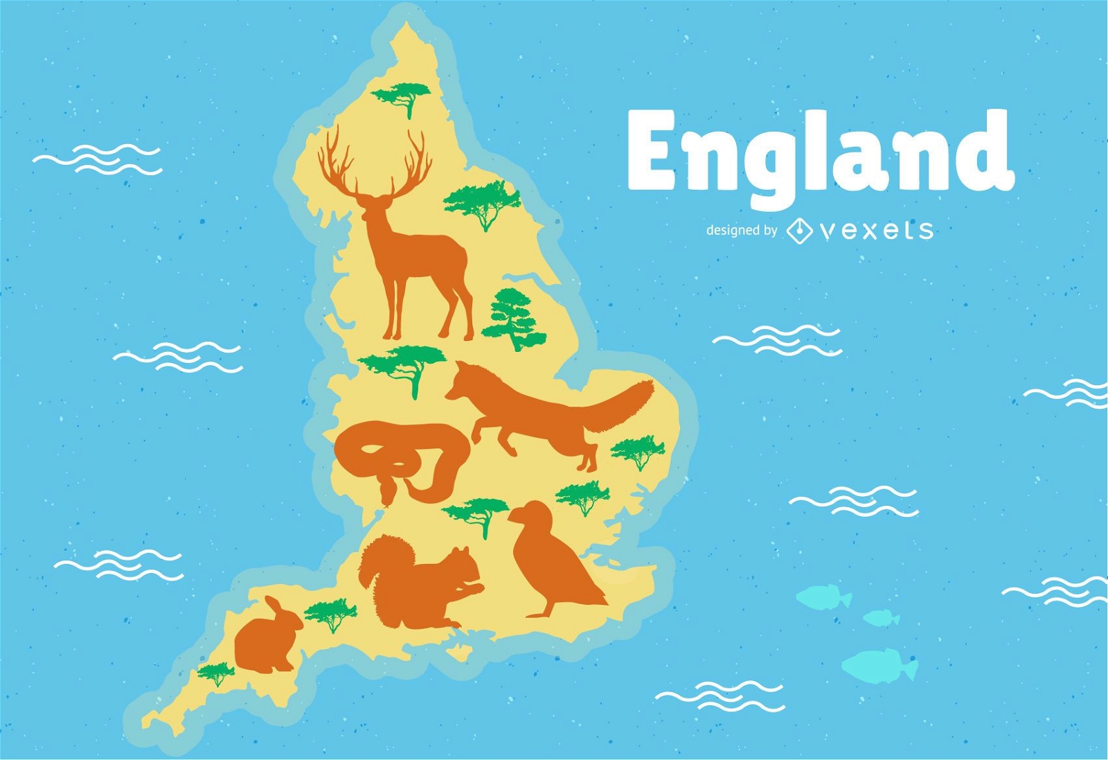
England Map Illustration
Choose a folder
All favorites
Create new
Save
England Map Illustration
Canadian Animals Map Illustration
Choose a folder
All favorites
Create new
Save
Canadian Animals Map Illustration
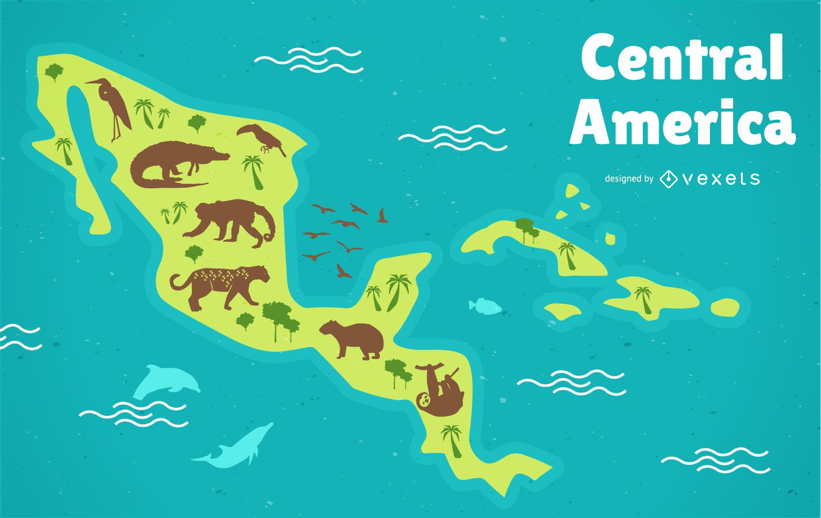
Central America Map
Choose a folder
All favorites
Create new
Save
Central America Map
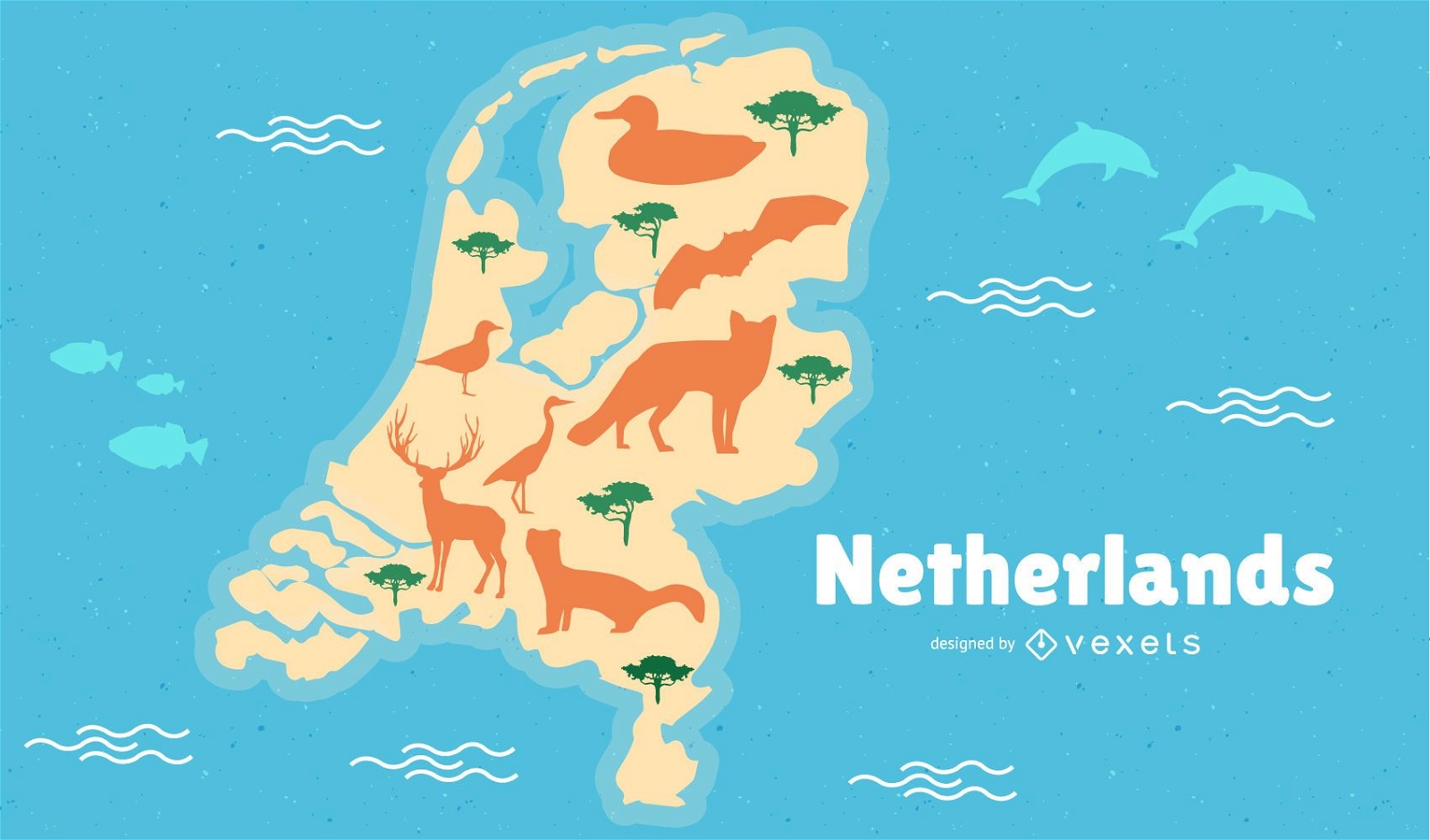
Netherlands Map Illustration
Choose a folder
All favorites
Create new
Save
Netherlands Map Illustration
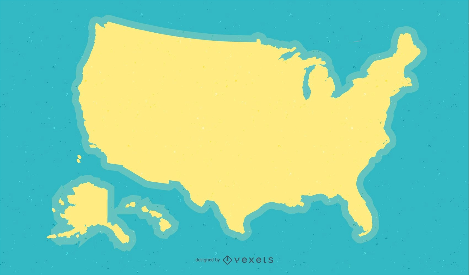
Yellow USA Map Background Design
Choose a folder
All favorites
Create new
Save
Yellow USA Map Background Design
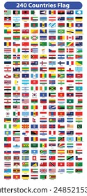
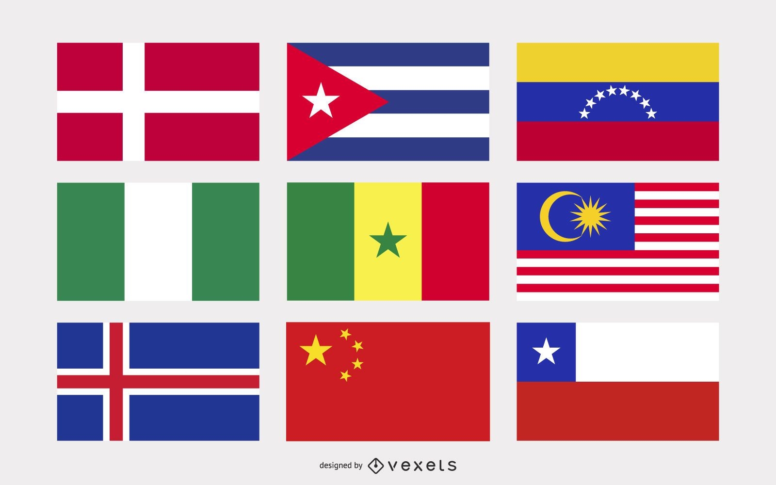
National flags illustration set
Choose a folder
All favorites
Create new
Save
National flags illustration set
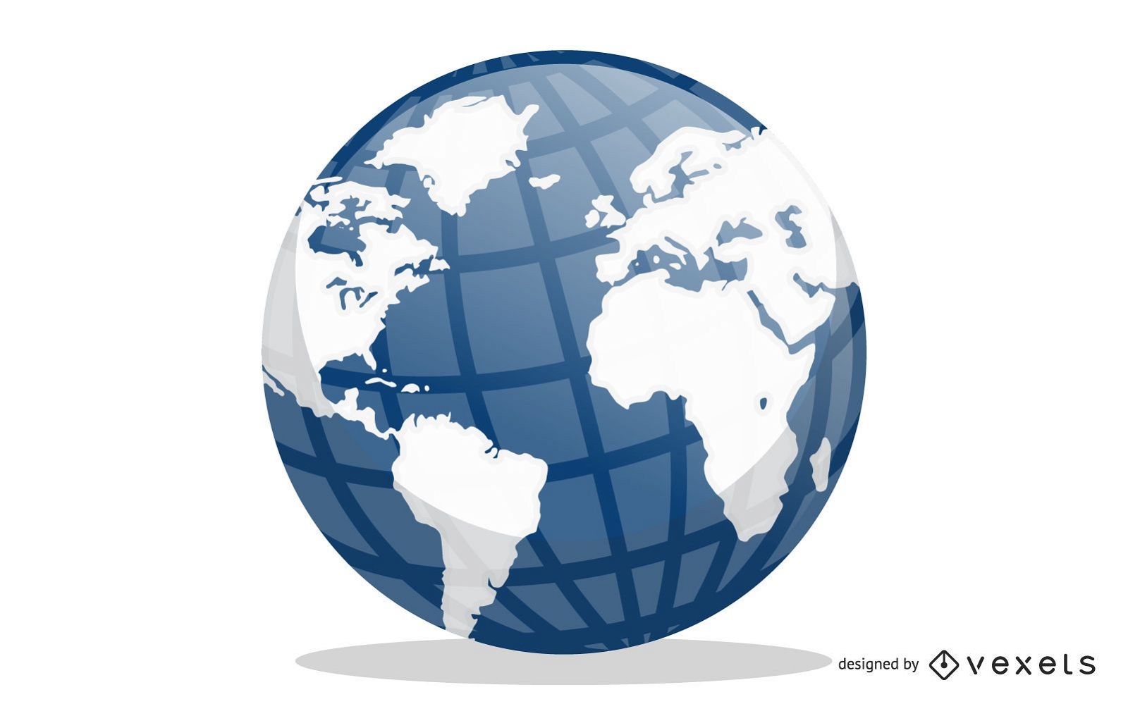
Blue Earth Globe Vector Design
Choose a folder
All favorites
Create new
Save
Blue Earth Globe Vector Design
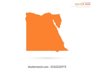
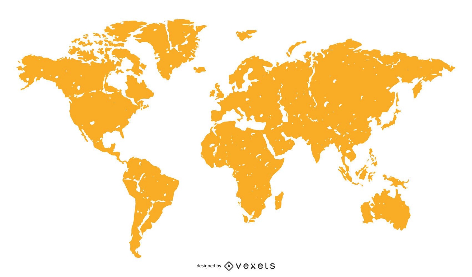
World Map Orange Silhouette
Choose a folder
All favorites
Create new
Save
World Map Orange Silhouette
South Korea Map Design
Choose a folder
All favorites
Create new
Save
South Korea Map Design
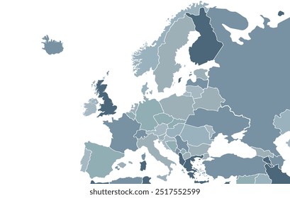
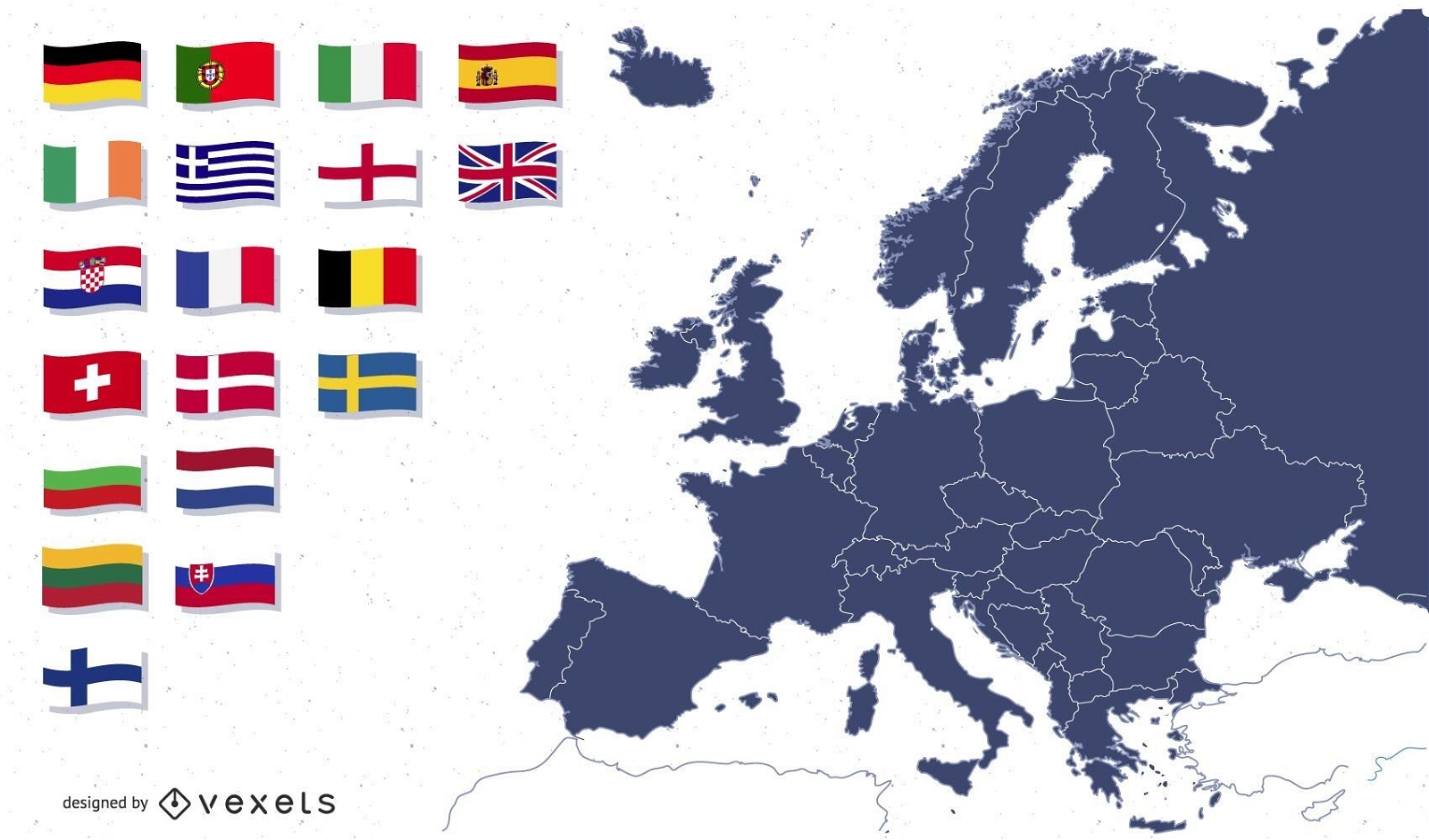
Europe map with flags illustration
Choose a folder
All favorites
Create new
Save
Europe map with flags illustration
Boost Your Business
With The Leading Graphic Platform For Merch.
SEE PLANS
of 2
prev page
next page