Design Library
New Merch Designs
T-Shirts
Vectors
Trending Merch Designs
PNGs & SVGs
Mockups
T-Shirt PSD Templates
Explore Designs
KDP Designs
Posters
Mugs
Phone Cases
Tote Bags
Pillows
Design Tools
Merch Designer
New!
Mockup Generator
AI Design Generator
Image Vectorizer
Quote Generator
T-Shirt Maker (Old)
Resources
Merch Digest
Blog
Help Center
Learn About Merch
Feedback
Corporate Solutions
Enterprise
API Access
Design Studio
Bulk Design Production
Pricing
Loading...
Sign Up
Login
Merch Vectors
estados
Design Library
New Merch Designs
T-Shirts
Vectors
Trending Merch Designs
PNGs & SVGs
Mockups
T-Shirt PSD Templates
Explore Designs
KDP Designs
Posters
Mugs
Phone Cases
Tote Bags
Pillows
Design Tools
Merch Designer
New!
Mockup Generator
AI Design Generator
Image Vectorizer
Quote Generator
T-Shirt Maker (Old)
Resources
Merch Digest
Blog
Help Center
Learn About Merch
Feedback
Corporate Solutions
Enterprise
API Access
Design Studio
Bulk Design Production
PLANS
Merch Vectors
estados
1448 estados Vector Designs for T-Shirts and merch
Download & buy editable estados AI Vector Graphics Designs for T shirts, Phone Cases, Book Covers and other Merch
Sort by
Most relevant
Sponsored results by
Get 15% off with code: VEXELS15
Show more
Print ready
for Merch
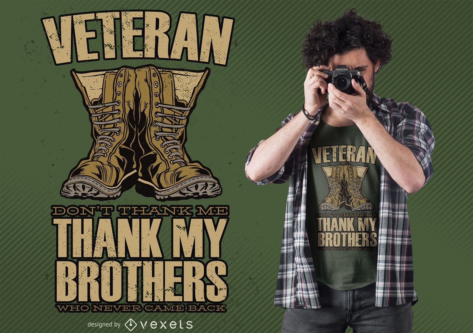
Veteran Boots Quote T-shirt Design
Choose a folder
All favorites
Create new
Save
Veteran Boots Quote T-shirt Design
for Merch
Made in USA t-shirt design
Choose a folder
All favorites
Create new
Save
Made in USA t-shirt design
Print ready
for Merch
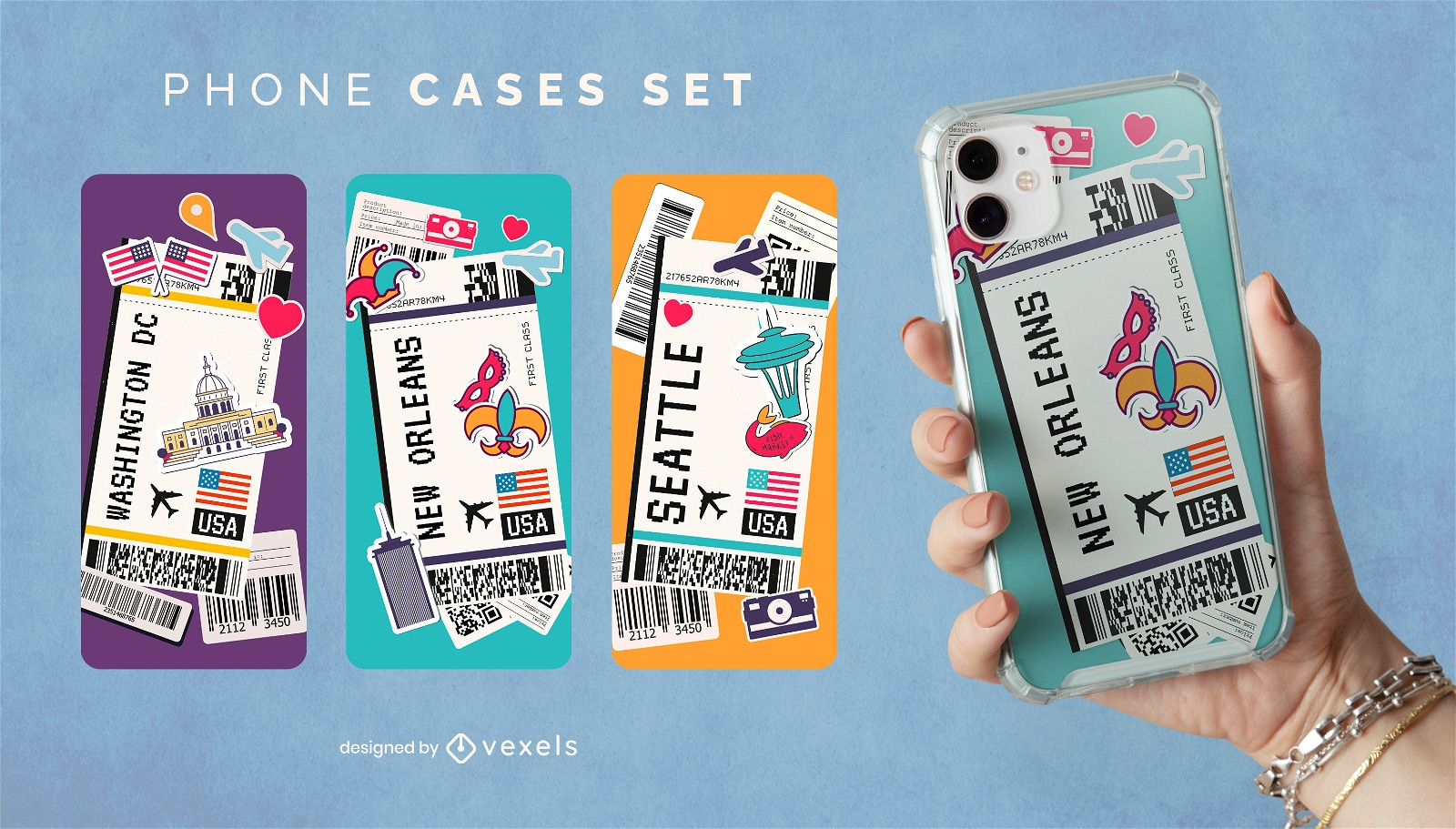
American cities boarding passes phone case set
Choose a folder
All favorites
Create new
Save
American cities boarding passes phone case set
Print ready
for Merch
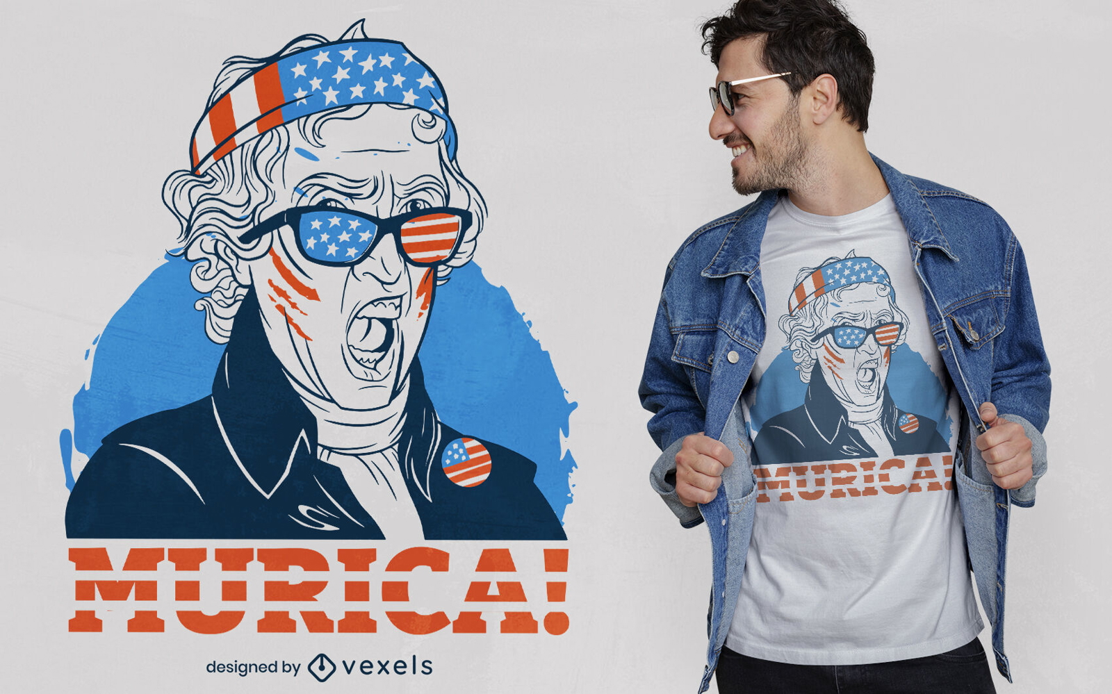
Thomas Jefferson t-shirt design
Choose a folder
All favorites
Create new
Save
Thomas Jefferson t-shirt design
Print ready
for Merch
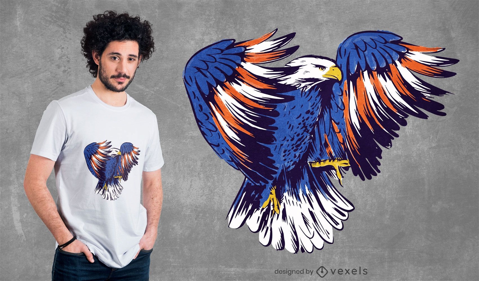
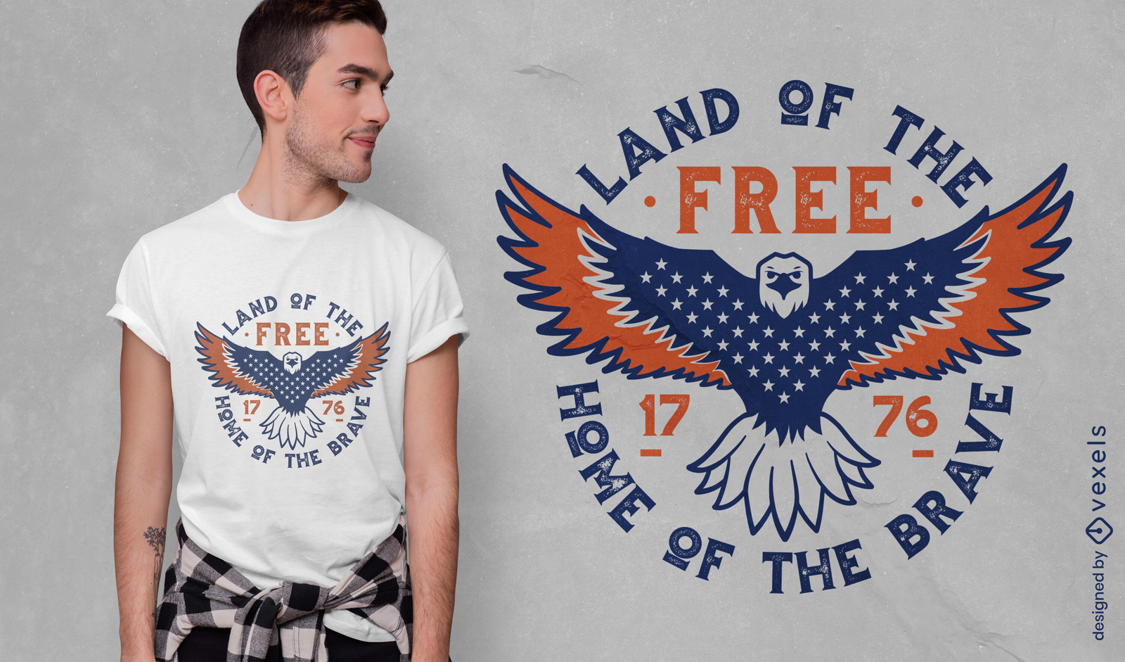
American Eagle Illustration T-shirt Design
Choose a folder
All favorites
Create new
Save
American Eagle Illustration T-shirt Design
Print ready
for Merch
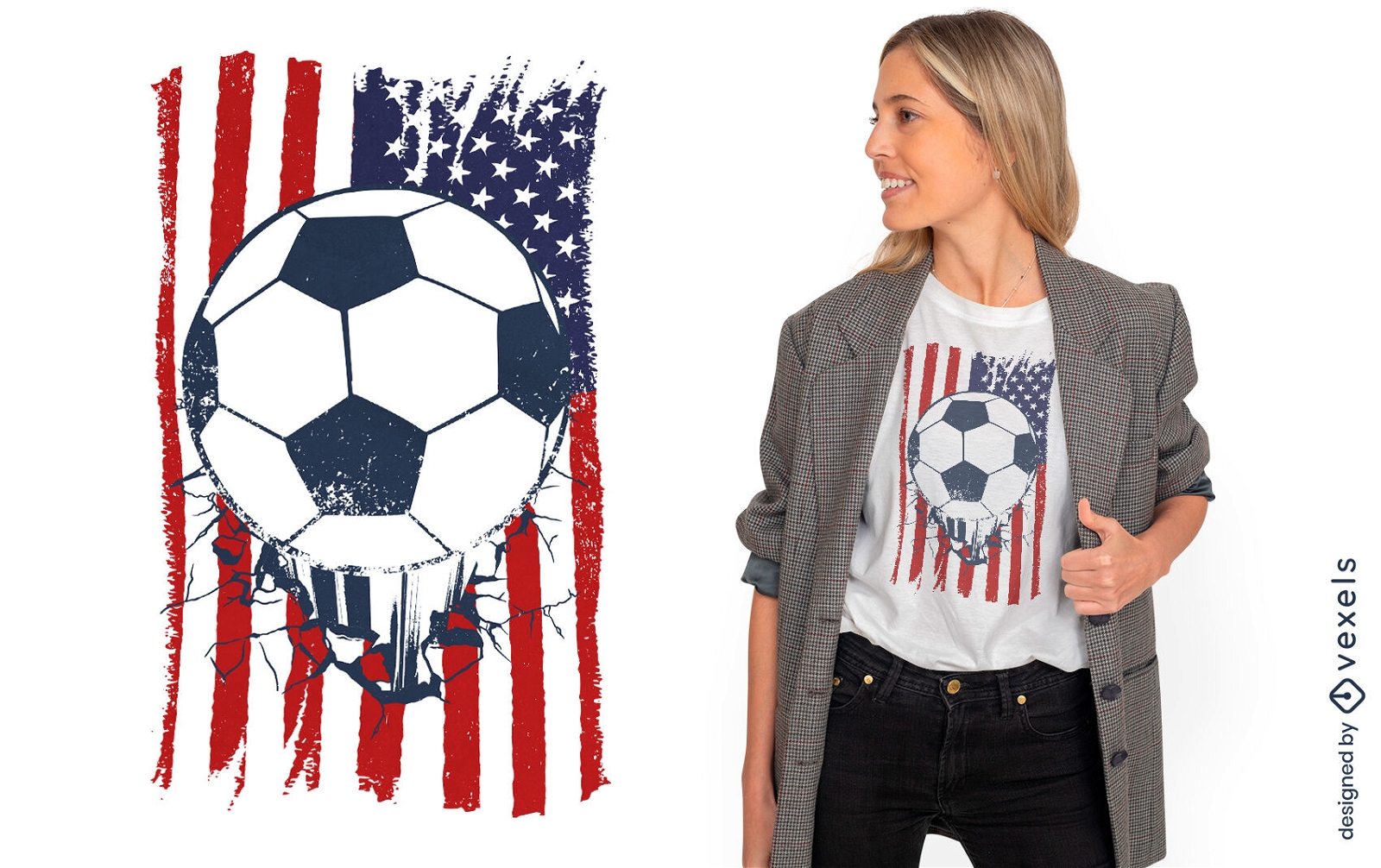
USA flag soccer t-shirt design
Choose a folder
All favorites
Create new
Save
USA flag soccer t-shirt design
Print ready
for Merch
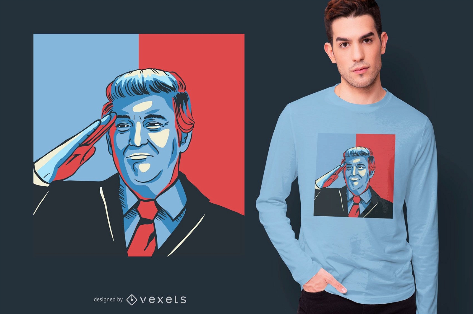
Donald Trump salute t-shirt design
Choose a folder
All favorites
Create new
Save
Donald Trump salute t-shirt design
Print ready
for Merch
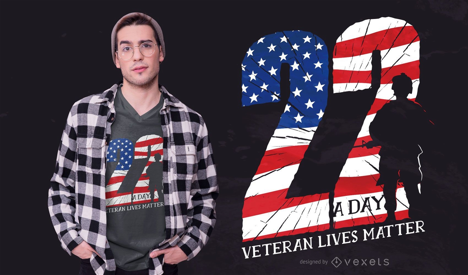
Veteran quote t-shirt design
Choose a folder
All favorites
Create new
Save
Veteran quote t-shirt design
Print ready
for Merch
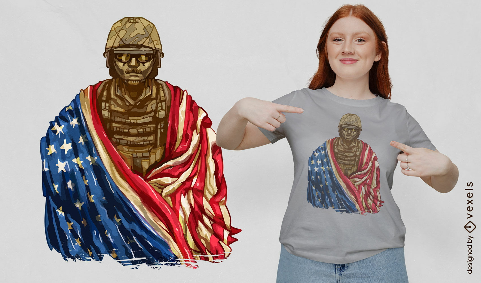
Soldier with american flag t-shirt design
Choose a folder
All favorites
Create new
Save
Soldier with american flag t-shirt design
Print ready
for Merch
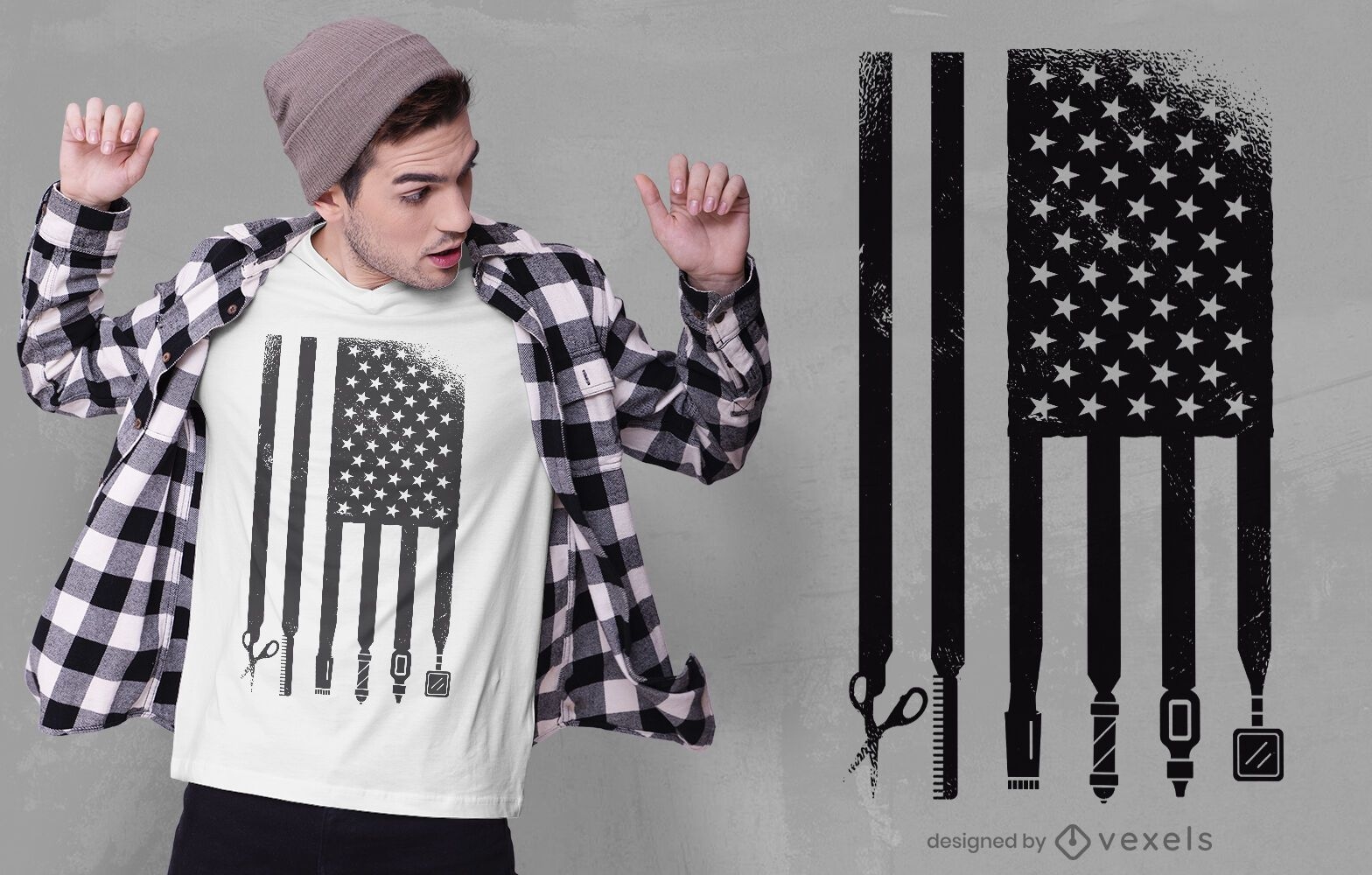
Barber usa flag t-shirt design
Choose a folder
All favorites
Create new
Save
Barber usa flag t-shirt design
Editable text
Print ready
for Merch
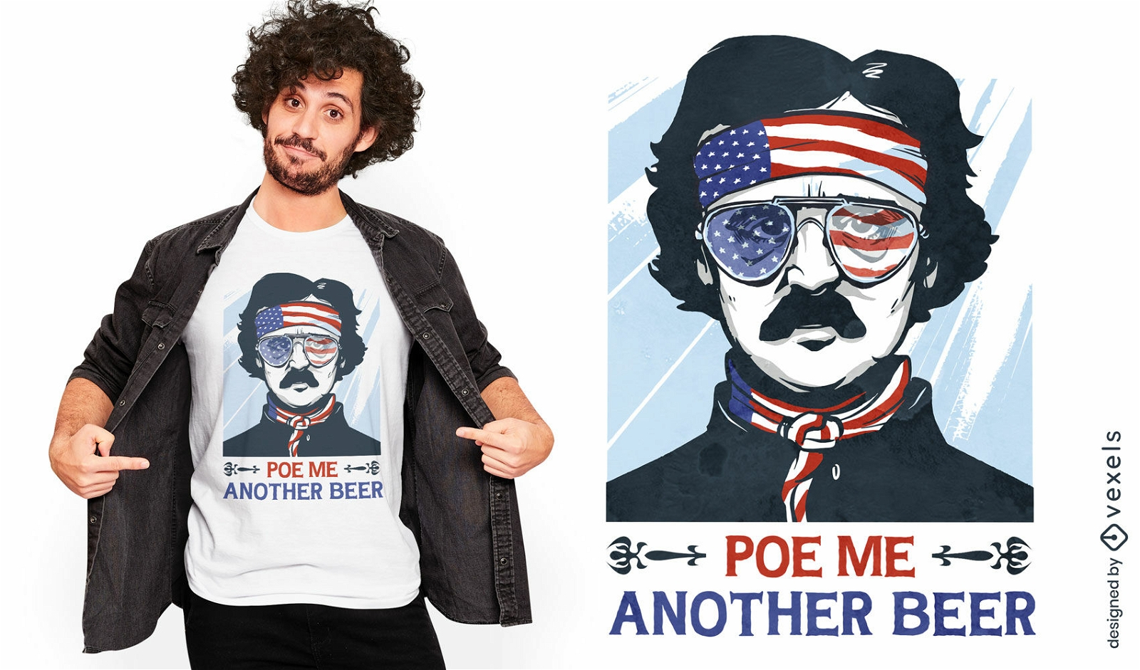
Funny patriotic beer Poe t-shirt design
Choose a folder
All favorites
Create new
Save
Funny patriotic beer Poe t-shirt design
Print ready
for Merch
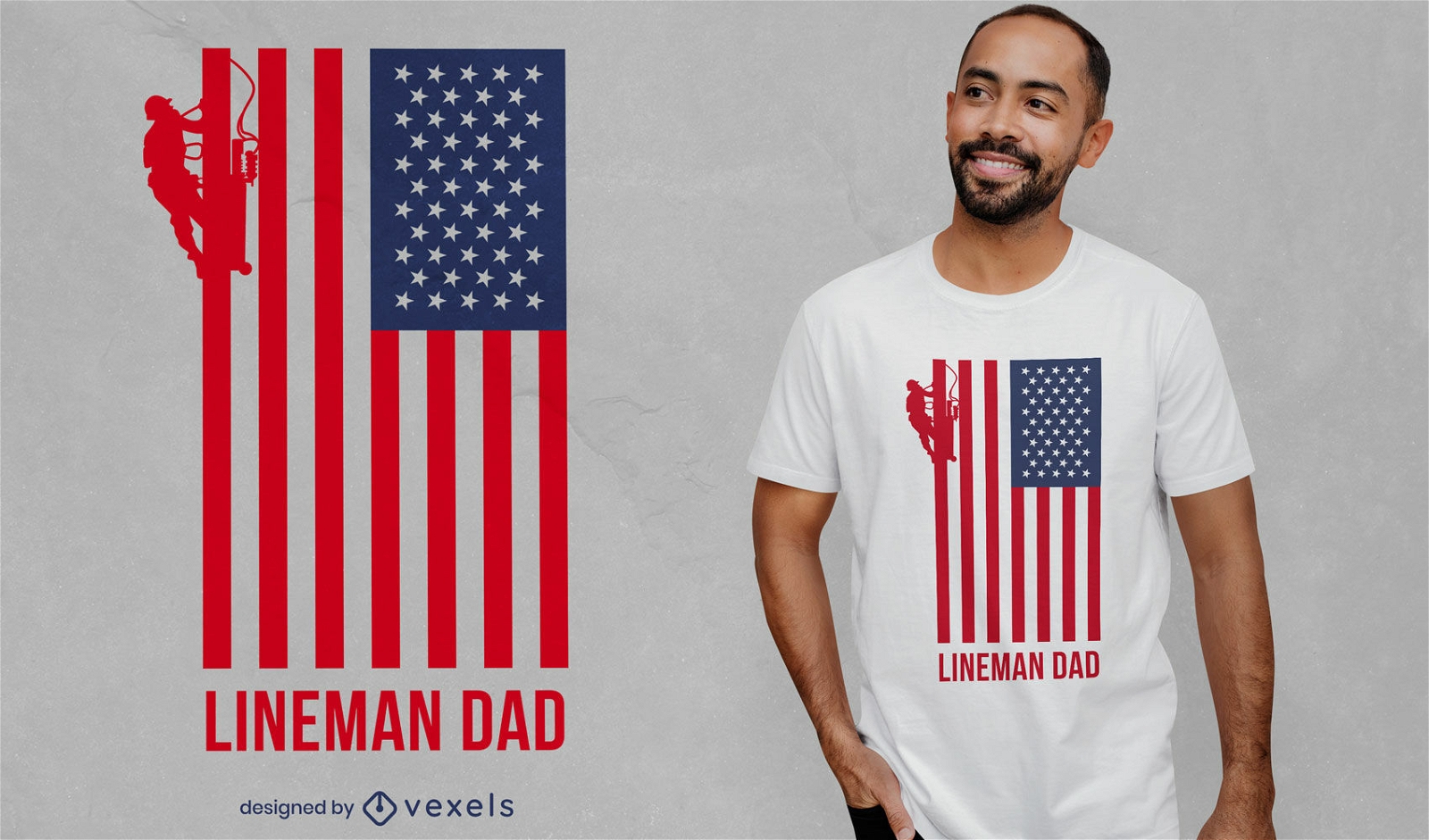
Lineman dad american flag t-shirt design
Choose a folder
All favorites
Create new
Save
Lineman dad american flag t-shirt design
Print ready
for Merch
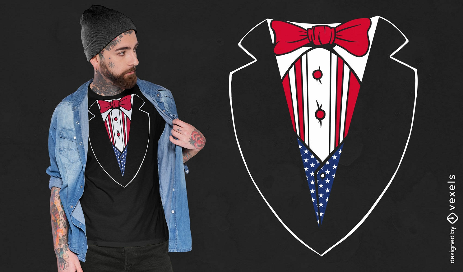
American flag tuxedo t-shirt design
Choose a folder
All favorites
Create new
Save
American flag tuxedo t-shirt design
Print ready
for Merch
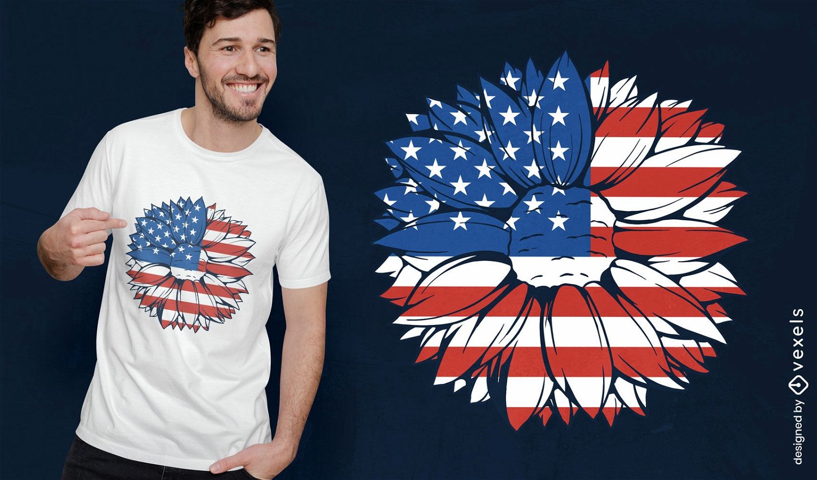
American flag sunflower t-shirt design
Choose a folder
All favorites
Create new
Save
American flag sunflower t-shirt design
Print ready
for Merch
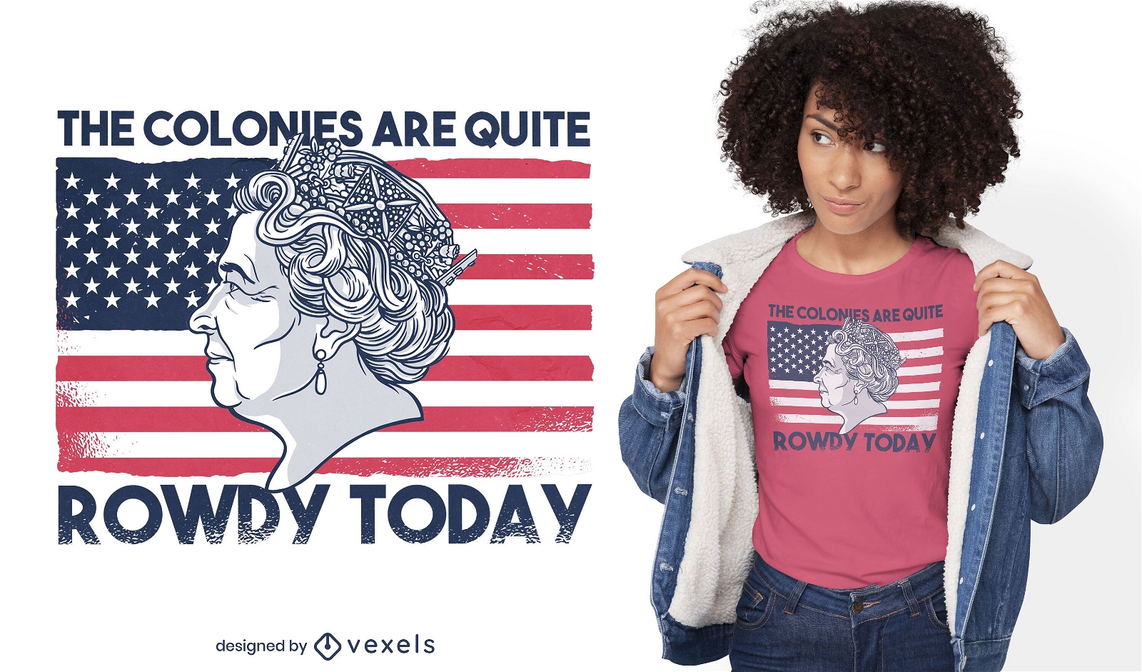
Queen of england on american flag t-shirt design
Choose a folder
All favorites
Create new
Save
Queen of england on american flag t-shirt design
for Merch
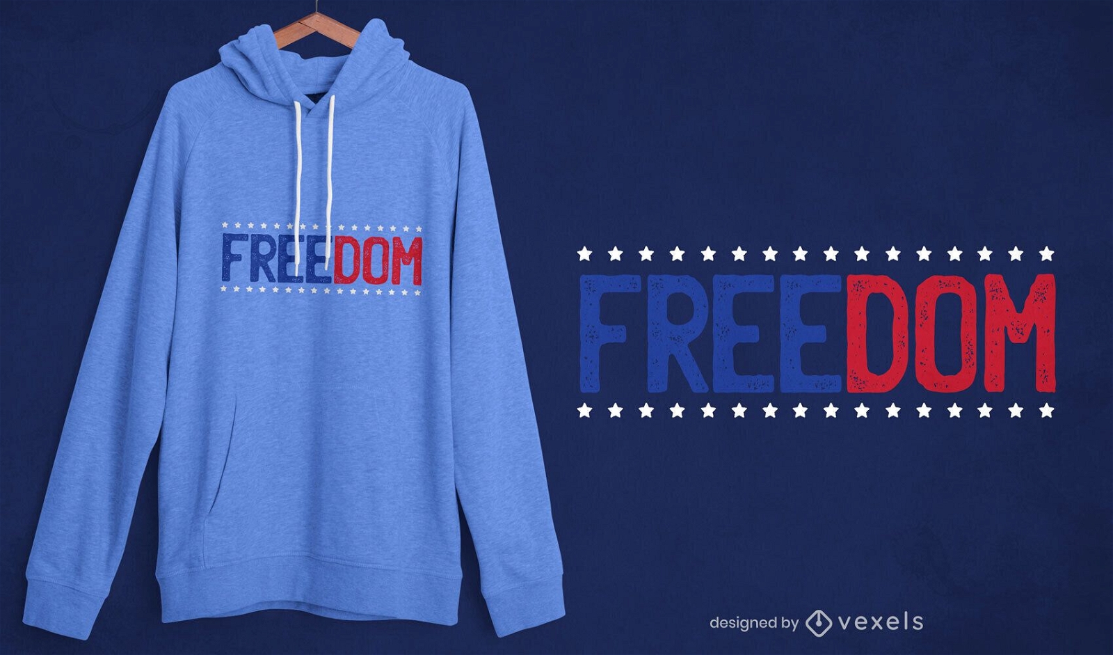
Freedom t-shirt design
Choose a folder
All favorites
Create new
Save
Freedom t-shirt design
Print ready
for Merch
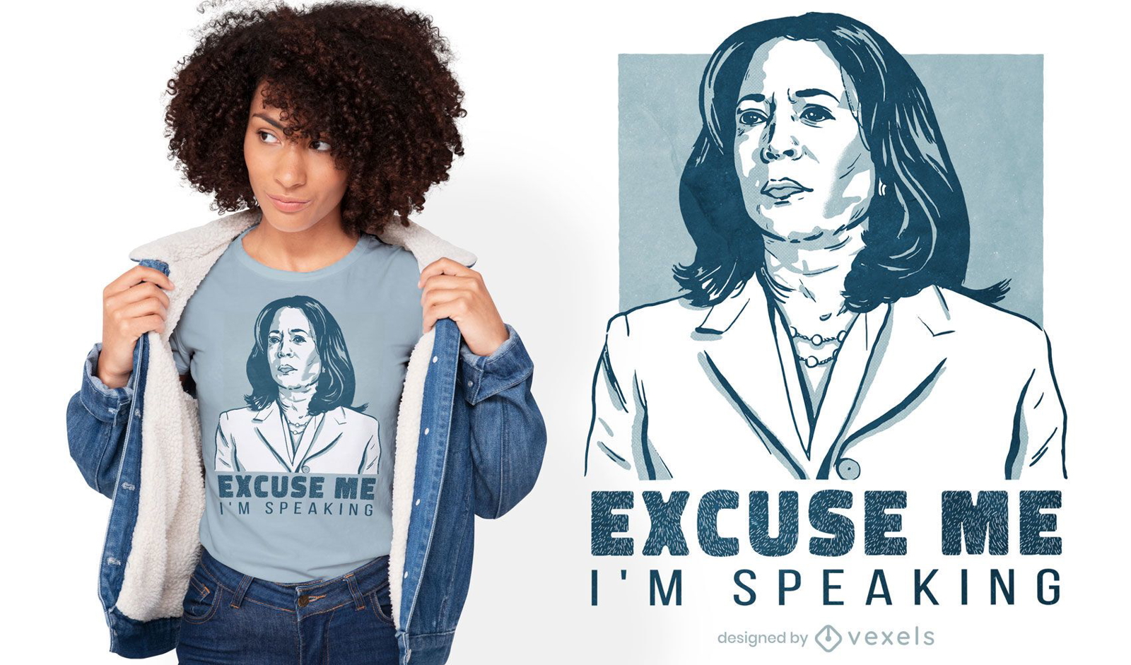
Kamala quote t-shirt design
Choose a folder
All favorites
Create new
Save
Kamala quote t-shirt design
Editable text
Print ready
for Merch
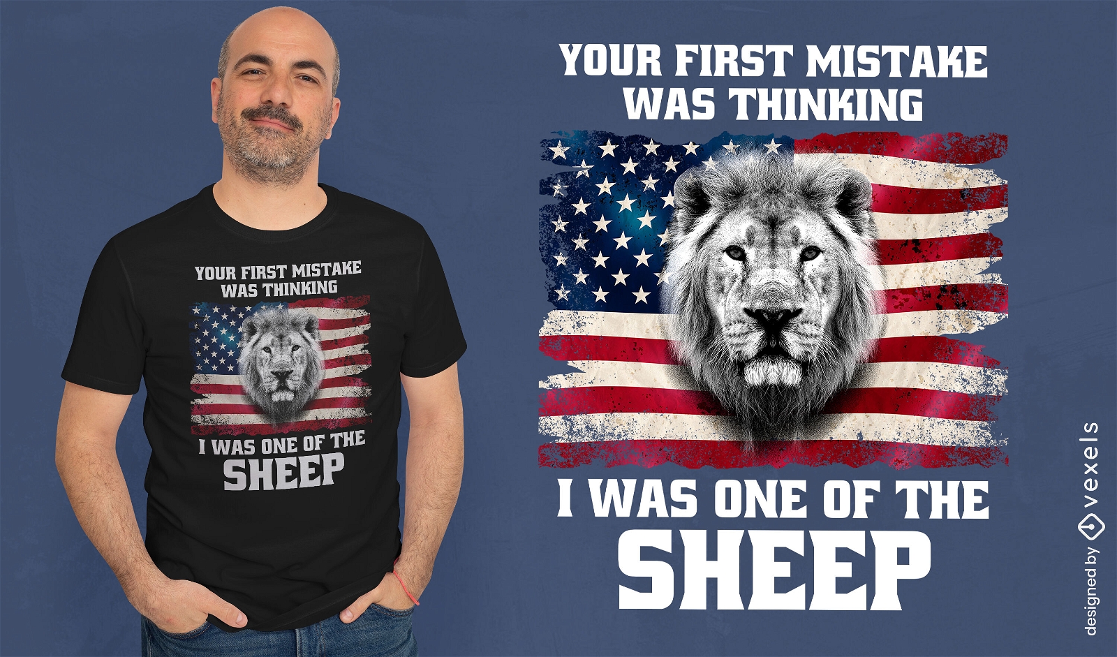
American flag and lion t-shirt design
Choose a folder
All favorites
Create new
Save
American flag and lion t-shirt design
Print ready
for Merch
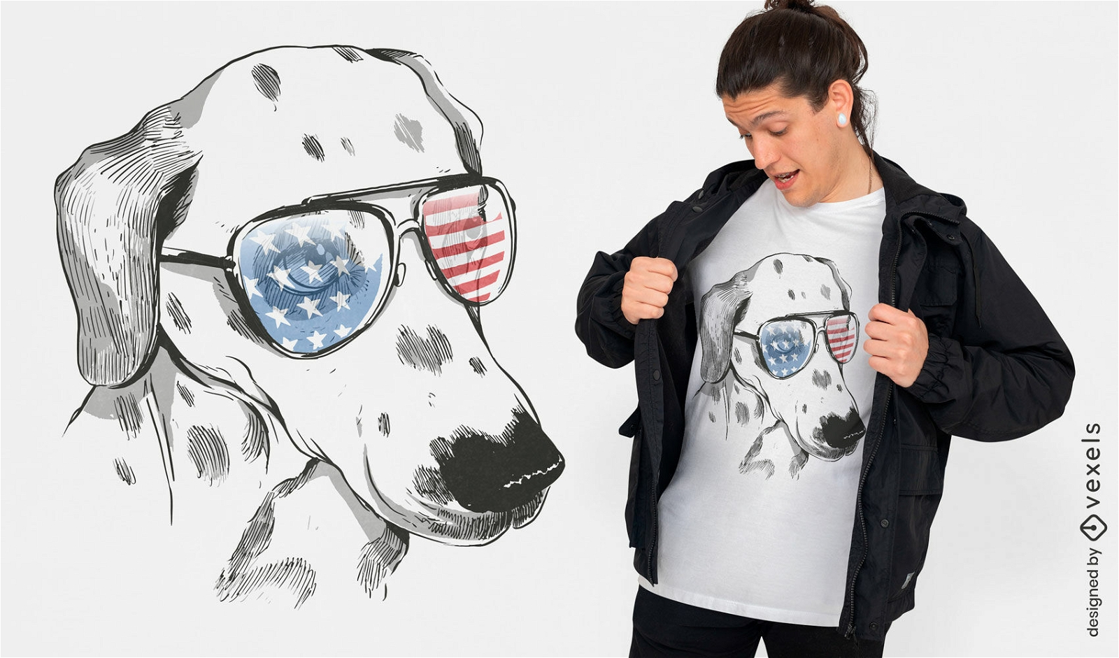
Independence day Dalmatian dog t-shirt design
Choose a folder
All favorites
Create new
Save
Independence day Dalmatian dog t-shirt design
Print ready
for Merch
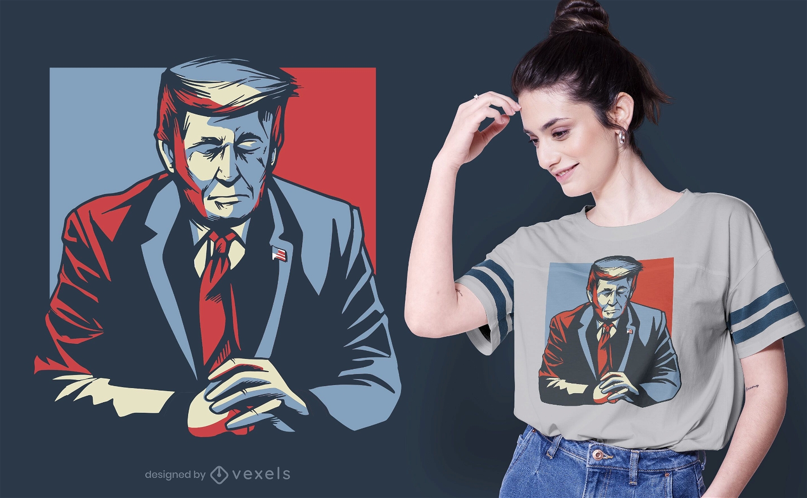
Donald Trump eyes closed t-shirt design
Choose a folder
All favorites
Create new
Save
Donald Trump eyes closed t-shirt design
Print ready
for Merch
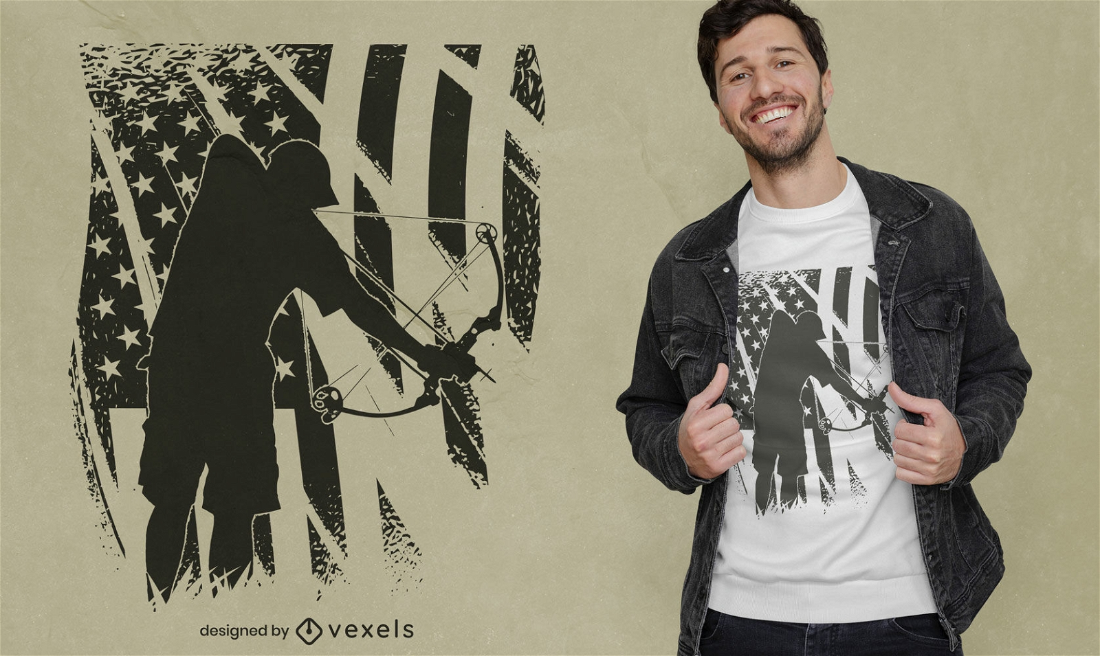
Bowfishing hobby with american flag t-shirt design
Choose a folder
All favorites
Create new
Save
Bowfishing hobby with american flag t-shirt design
Print ready
for Merch
Yellowstone national park t-shirt design
Choose a folder
All favorites
Create new
Save
Yellowstone national park t-shirt design
Editable text
Print ready
for Merch
USA eagle bird flying t-shirt design
Choose a folder
All favorites
Create new
Save
USA eagle bird flying t-shirt design
Print ready
for Merch
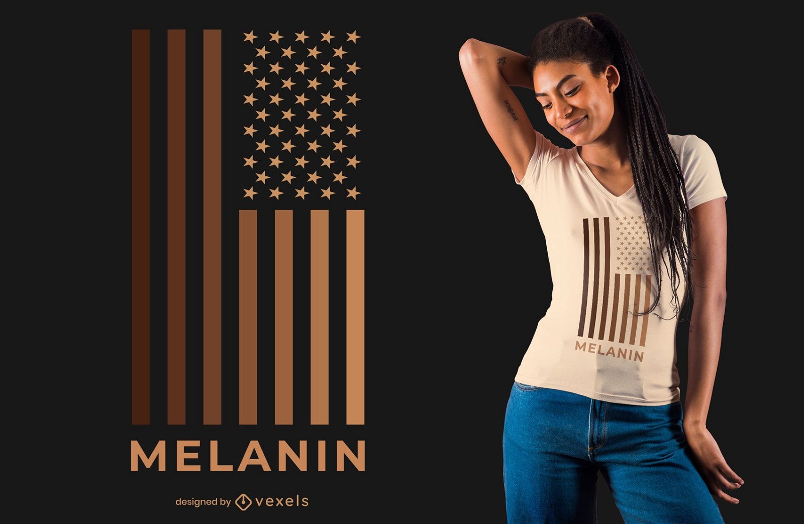
Melanin USA Flag T-shirt Design
Choose a folder
All favorites
Create new
Save
Melanin USA Flag T-shirt Design
Print ready
for Merch
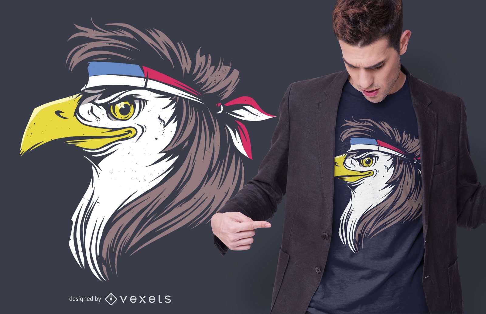
Eagle Mullet Funny T-shirt Design
Choose a folder
All favorites
Create new
Save
Eagle Mullet Funny T-shirt Design
Print ready
for Merch
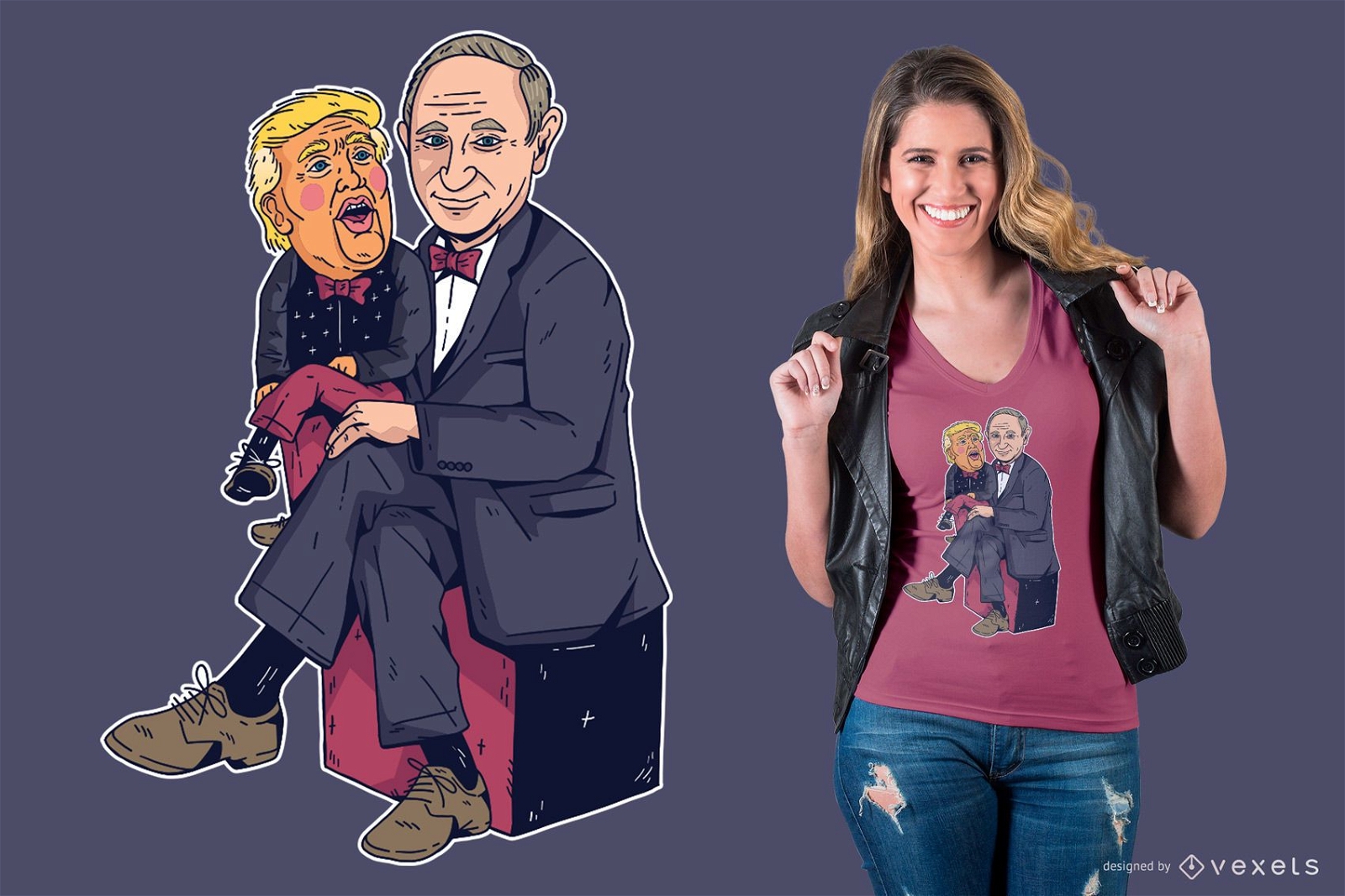
Putin & Trump T-Shirt Design
Choose a folder
All favorites
Create new
Save
Putin & Trump T-Shirt Design
for Merch
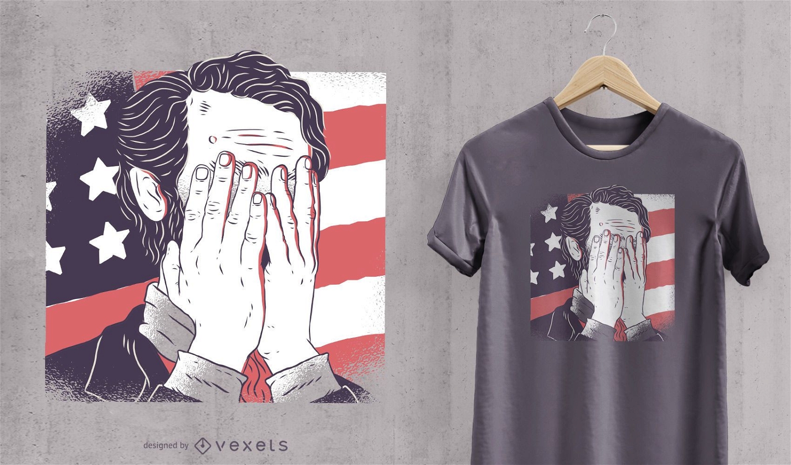
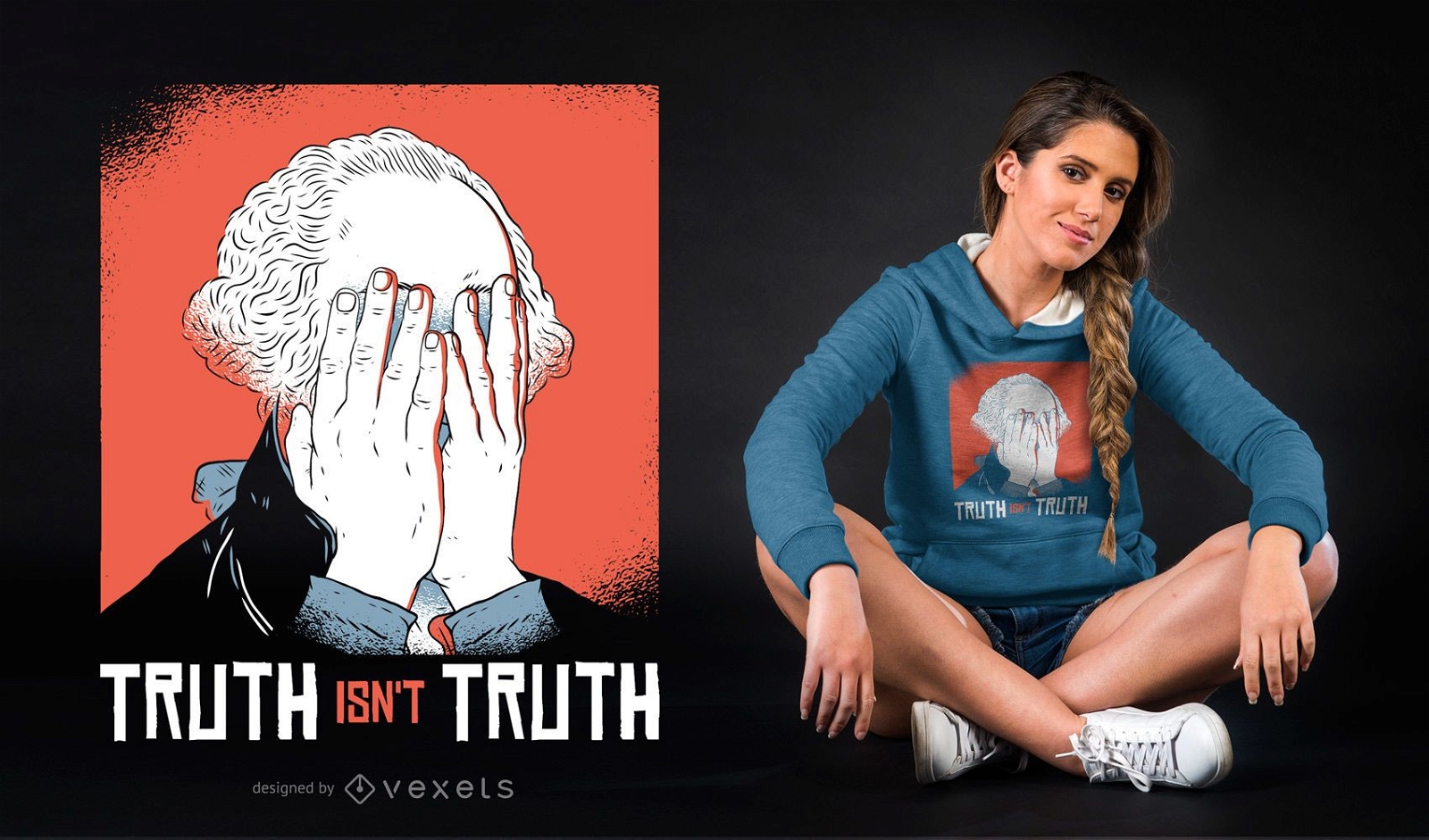
Abraham Lincoln facepalm t-shirt design
Choose a folder
All favorites
Create new
Save
Abraham Lincoln facepalm t-shirt design
for Merch
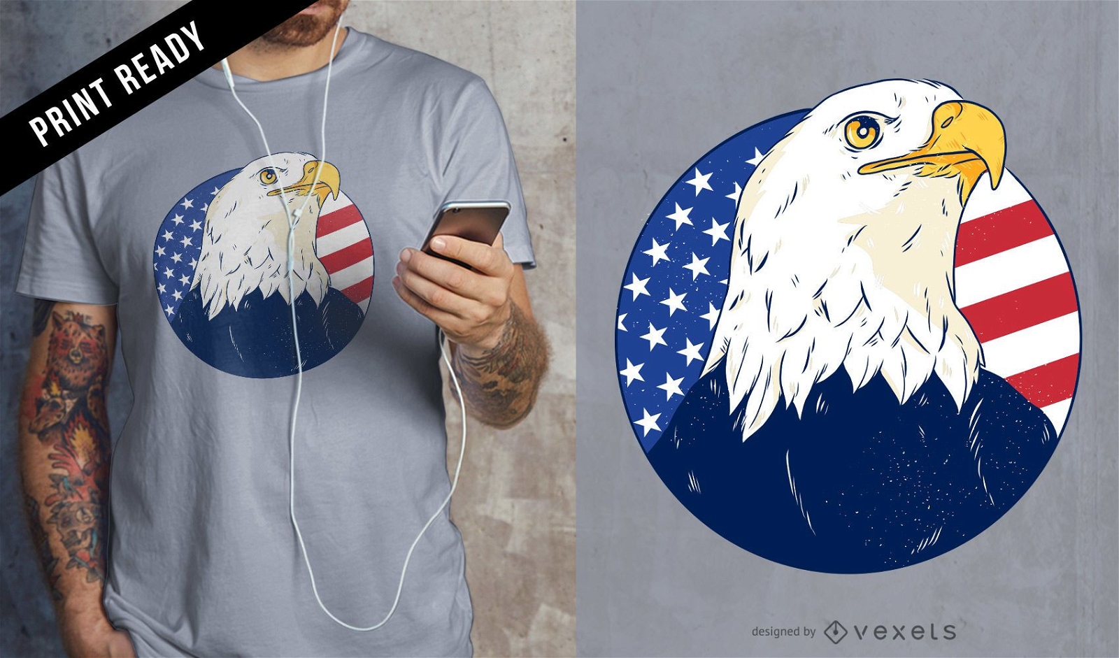
American eagle t-shirt design
Choose a folder
All favorites
Create new
Save
American eagle t-shirt design
Print ready
for Merch
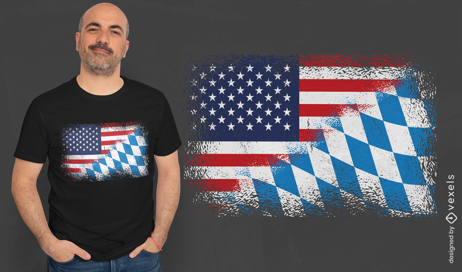
American and bavarian flag t-shirt design
Choose a folder
All favorites
Create new
Save
American and bavarian flag t-shirt design
Print ready
for Merch
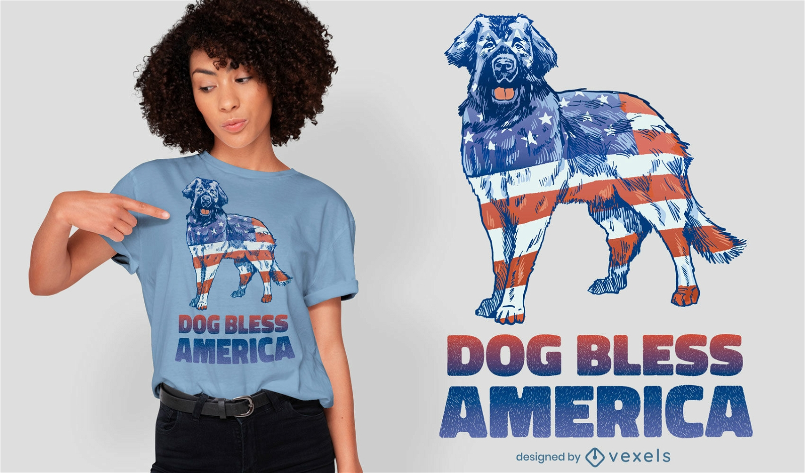
American flag dog animal t-shirt design
Choose a folder
All favorites
Create new
Save
American flag dog animal t-shirt design
Print ready
for Merch
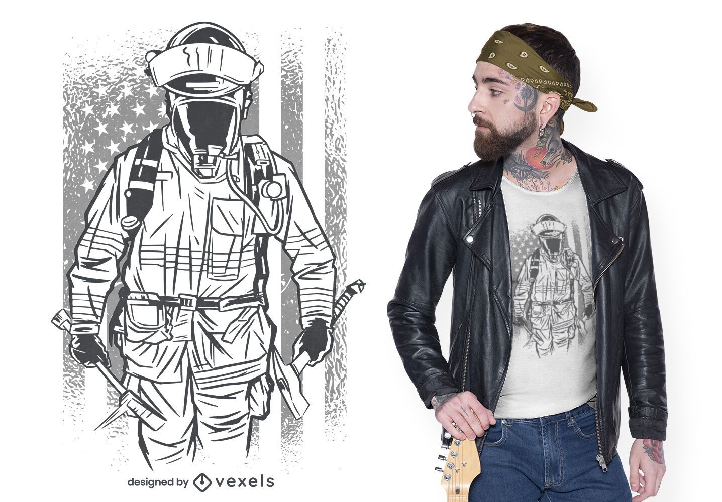
Firefighter american flag t-shirt design
Choose a folder
All favorites
Create new
Save
Firefighter american flag t-shirt design
Print ready
for Merch
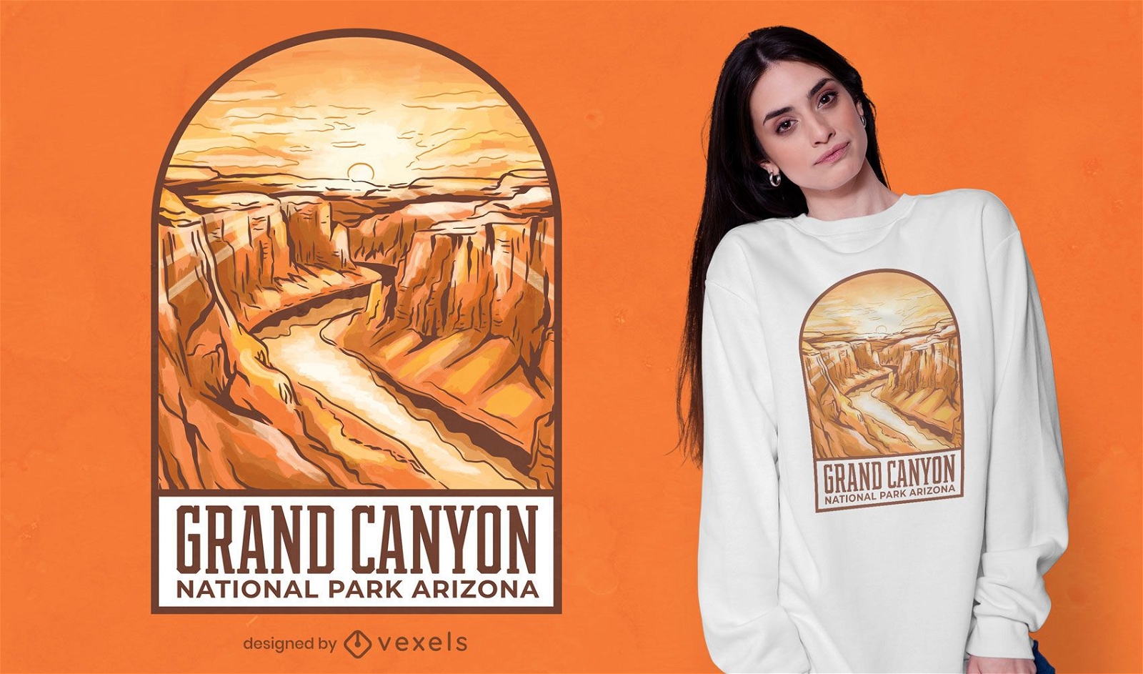
Grand Canyon illustration t-shirt design
Choose a folder
All favorites
Create new
Save
Grand Canyon illustration t-shirt design
Print ready
for Merch
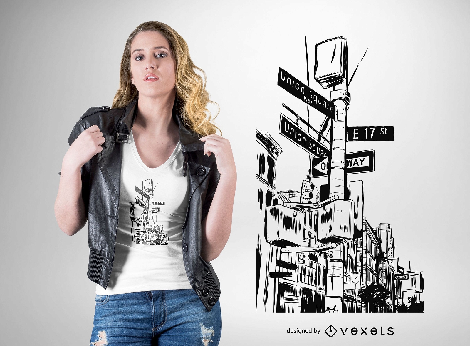
New York City streets t-shirt design
Choose a folder
All favorites
Create new
Save
New York City streets t-shirt design
Editable text
Print ready
for Merch
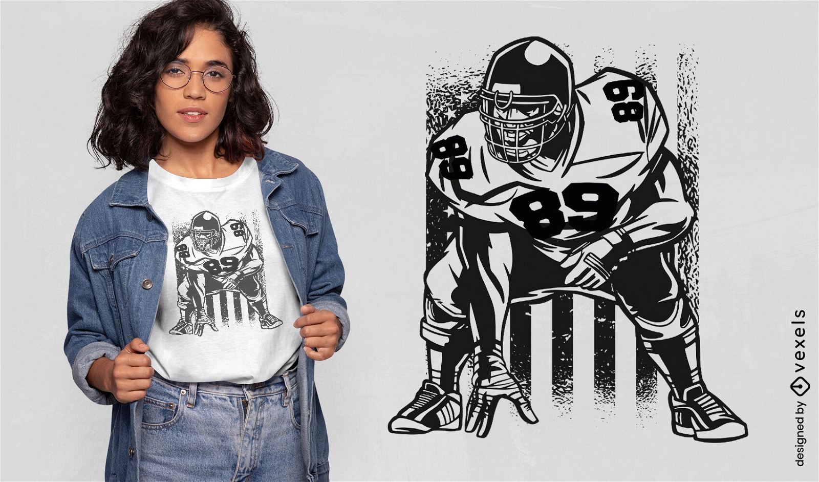
American football player and flag t-shirt design
Choose a folder
All favorites
Create new
Save
American football player and flag t-shirt design
Print ready
for Merch
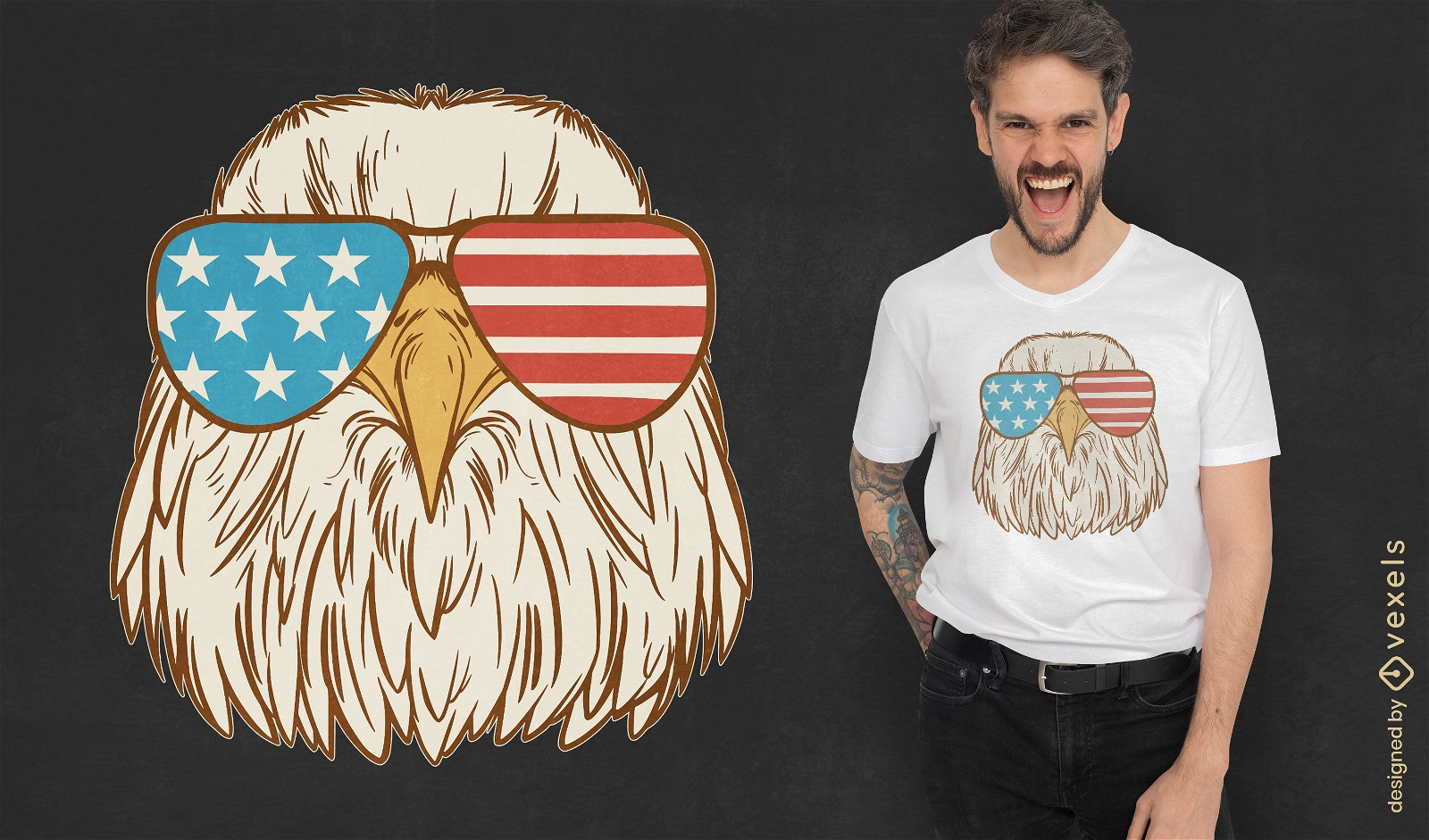
Eagle with american sunglasses t-shirt design
Choose a folder
All favorites
Create new
Save
Eagle with american sunglasses t-shirt design
Print ready
for Merch
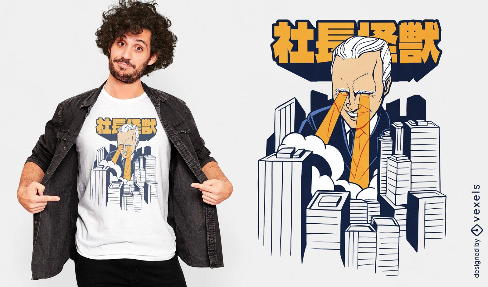
Kaiju Biden city t-shirt design
Choose a folder
All favorites
Create new
Save
Kaiju Biden city t-shirt design
Print ready
for Merch
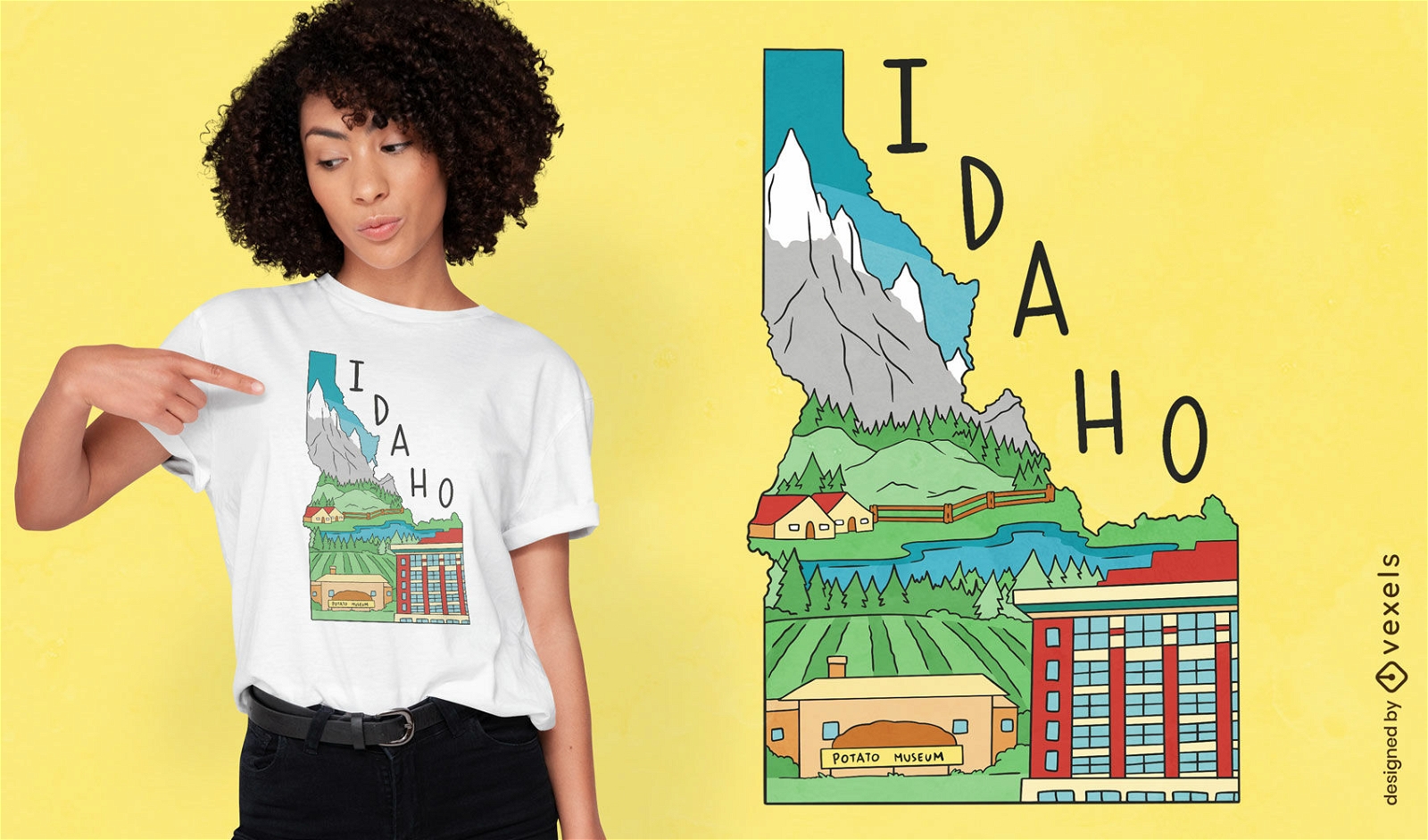
Idaho state map landscape t-shirt design
Choose a folder
All favorites
Create new
Save
Idaho state map landscape t-shirt design
Print ready
for Merch
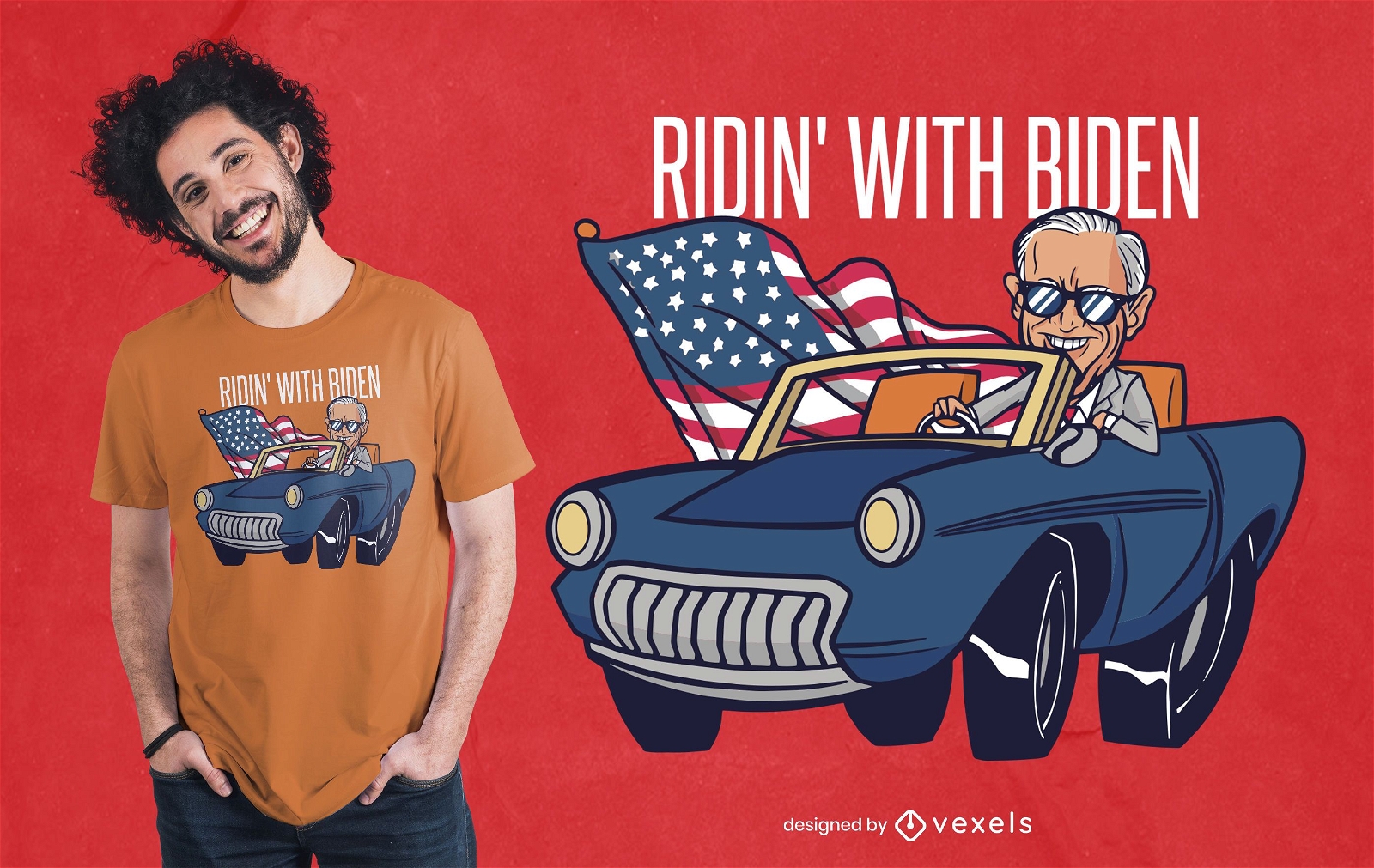
Riding With Biden T-shirt Design
Choose a folder
All favorites
Create new
Save
Riding With Biden T-shirt Design
Print ready
for Merch
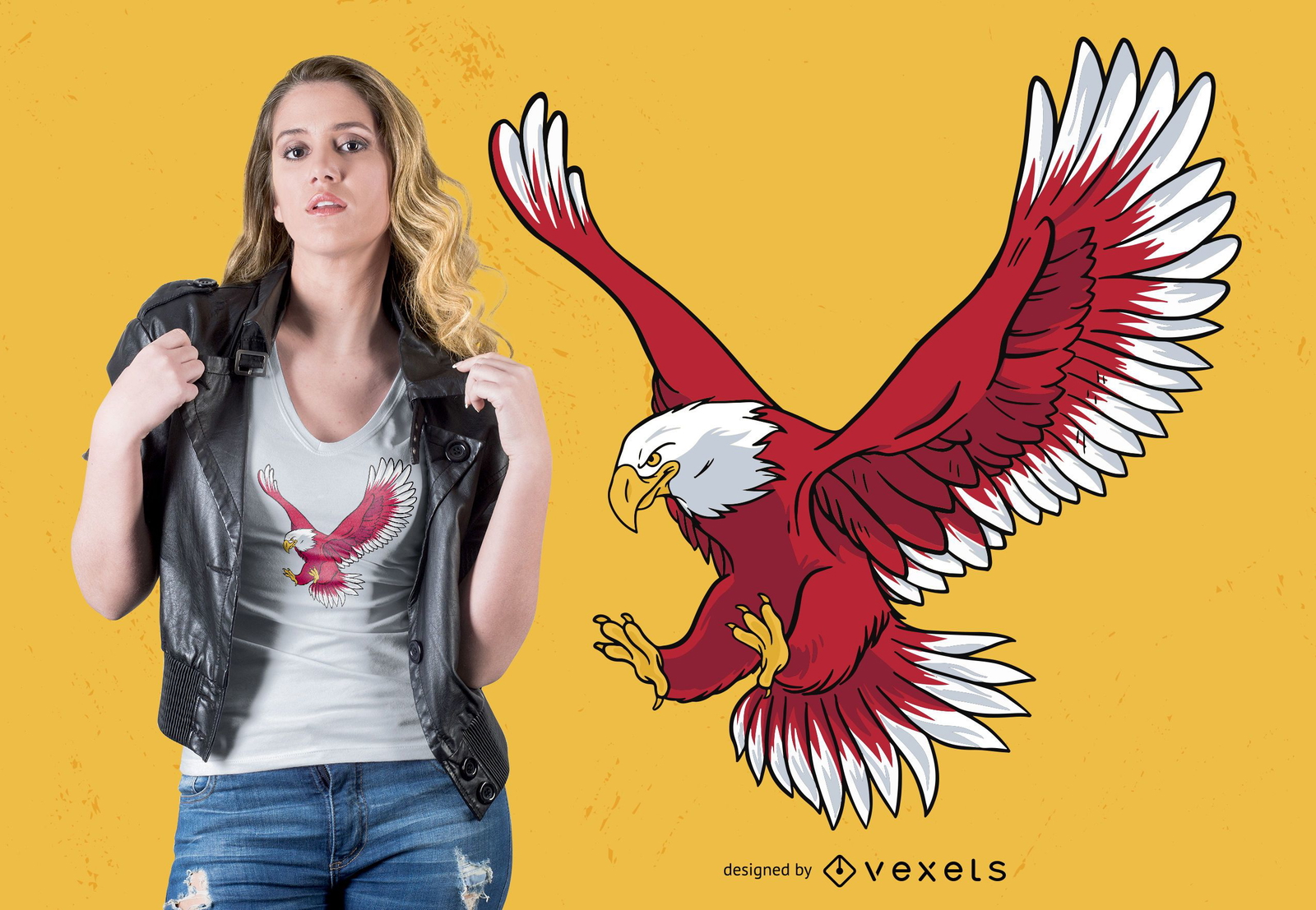
Bald Eagle T-shirt Design
Choose a folder
All favorites
Create new
Save
Bald Eagle T-shirt Design
Print ready
for Merch
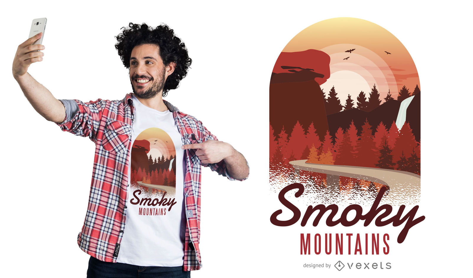
Smoky Mountains T-shirt Design
Choose a folder
All favorites
Create new
Save
Smoky Mountains T-shirt Design
for Merch
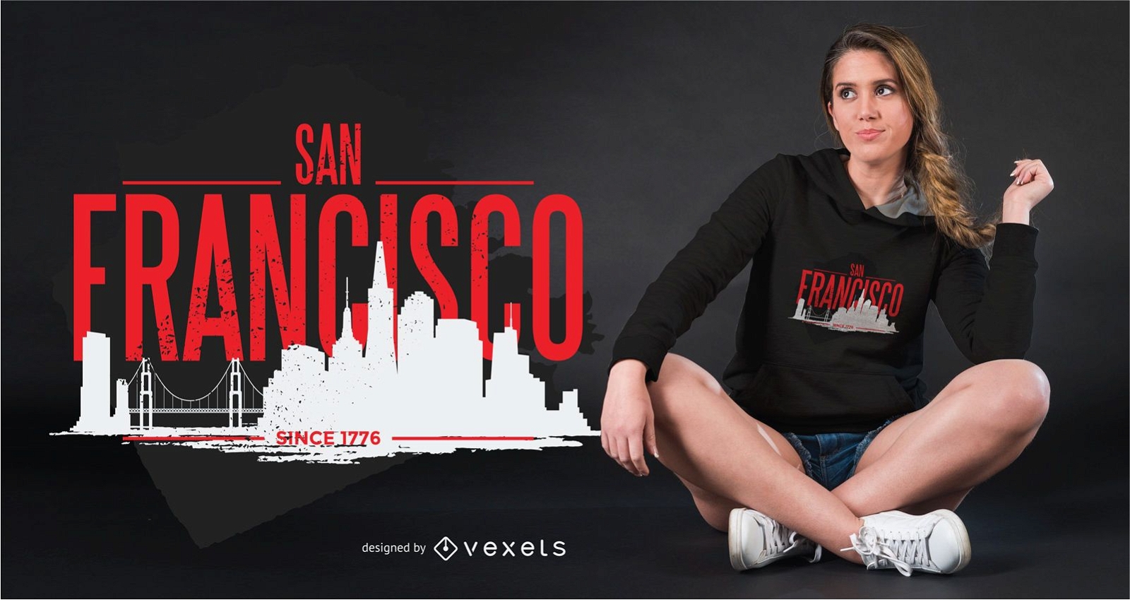
San Francisco Skyline T-Shirt Design
Choose a folder
All favorites
Create new
Save
San Francisco Skyline T-Shirt Design
Print ready
for Merch
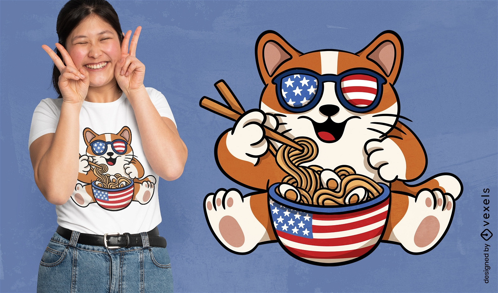
American cat eating ramen t-shirt design
Choose a folder
All favorites
Create new
Save
American cat eating ramen t-shirt design
Editable text
Print ready
for Merch
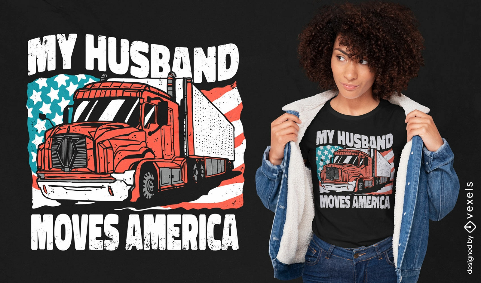
USA truck t-shirt design
Choose a folder
All favorites
Create new
Save
USA truck t-shirt design
Print ready
for Merch
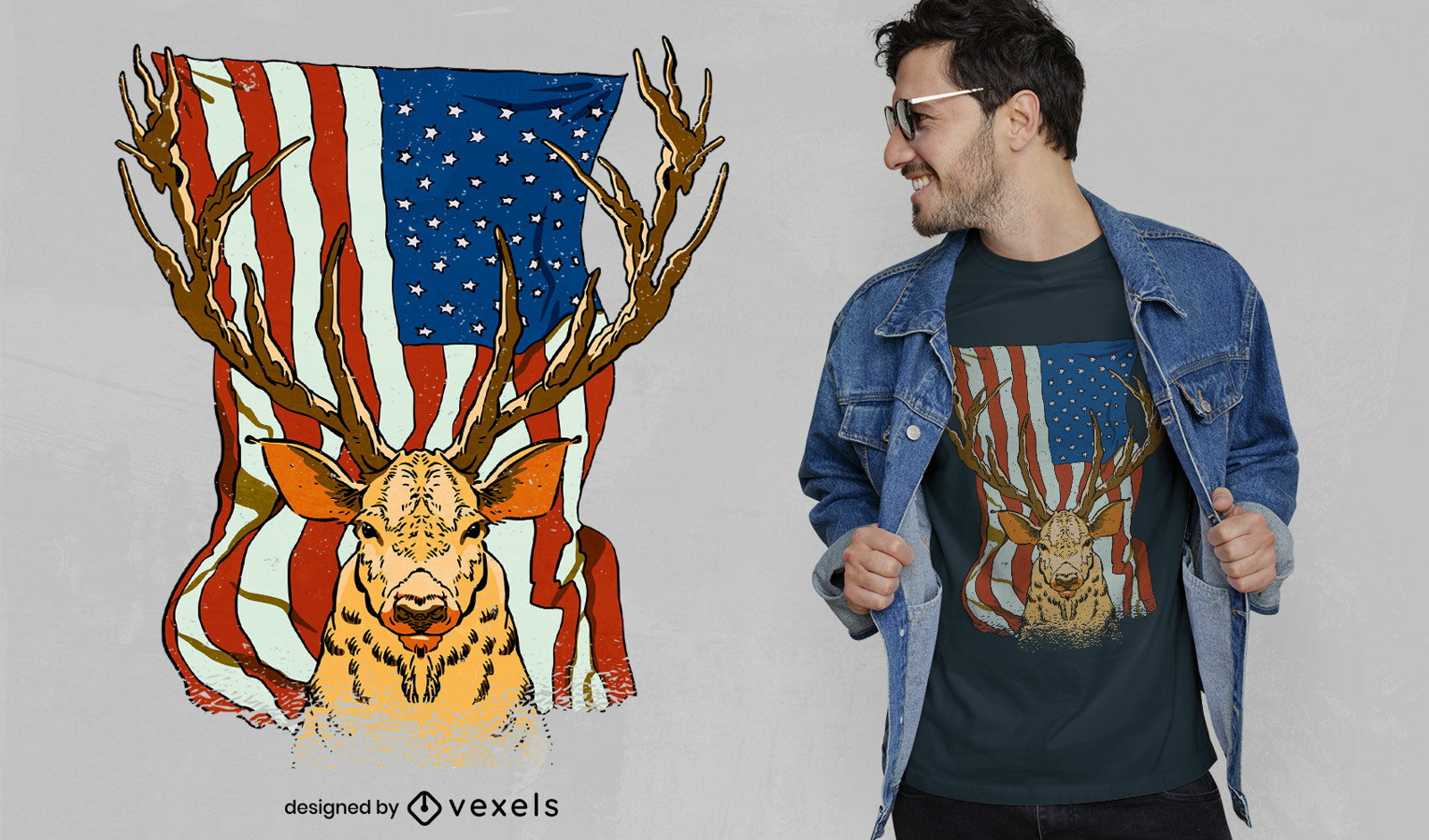
Deer and US flag t-shirt design
Choose a folder
All favorites
Create new
Save
Deer and US flag t-shirt design
Editable text
Print ready
for Merch
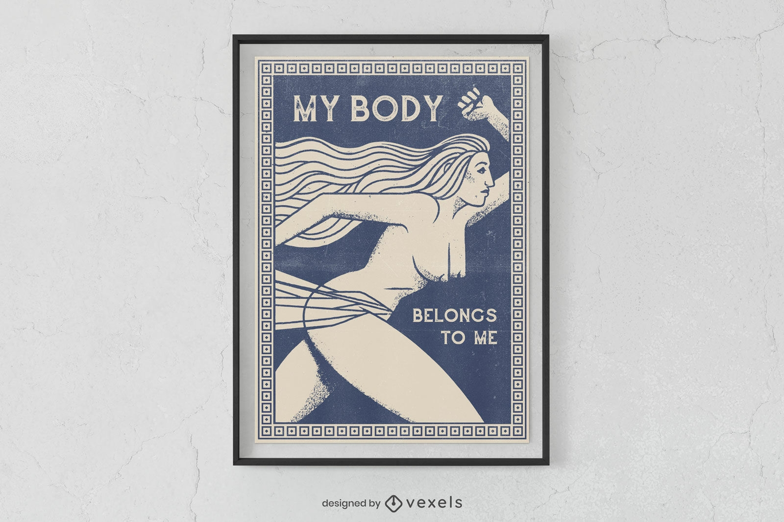
Woman body autonomy poster design
Choose a folder
All favorites
Create new
Save
Woman body autonomy poster design
Print ready
for Merch
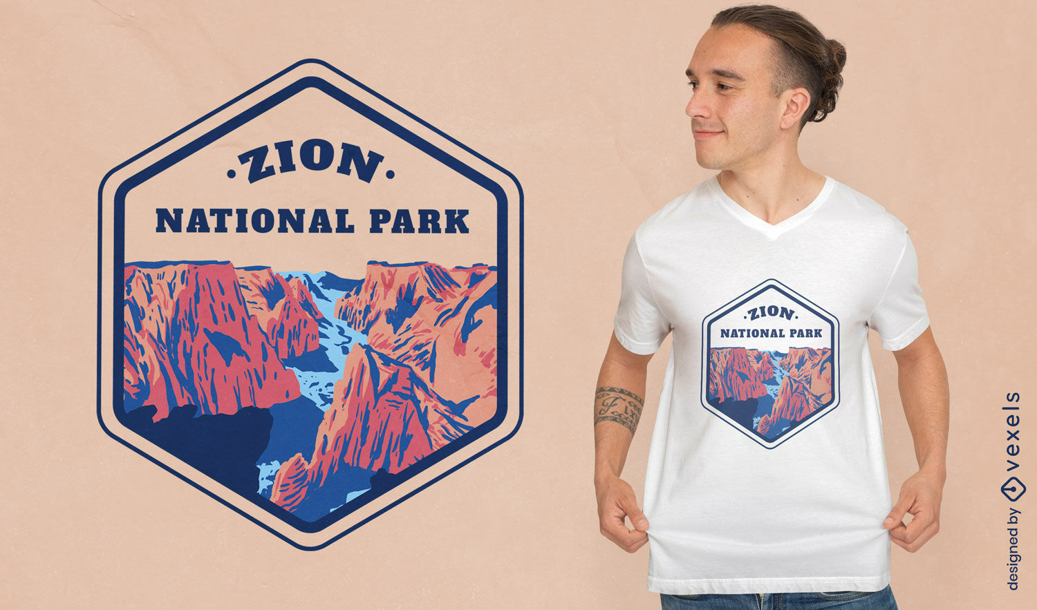
Zion national park landscape t-shirt design
Choose a folder
All favorites
Create new
Save
Zion national park landscape t-shirt design
Editable text
Print ready
for Merch
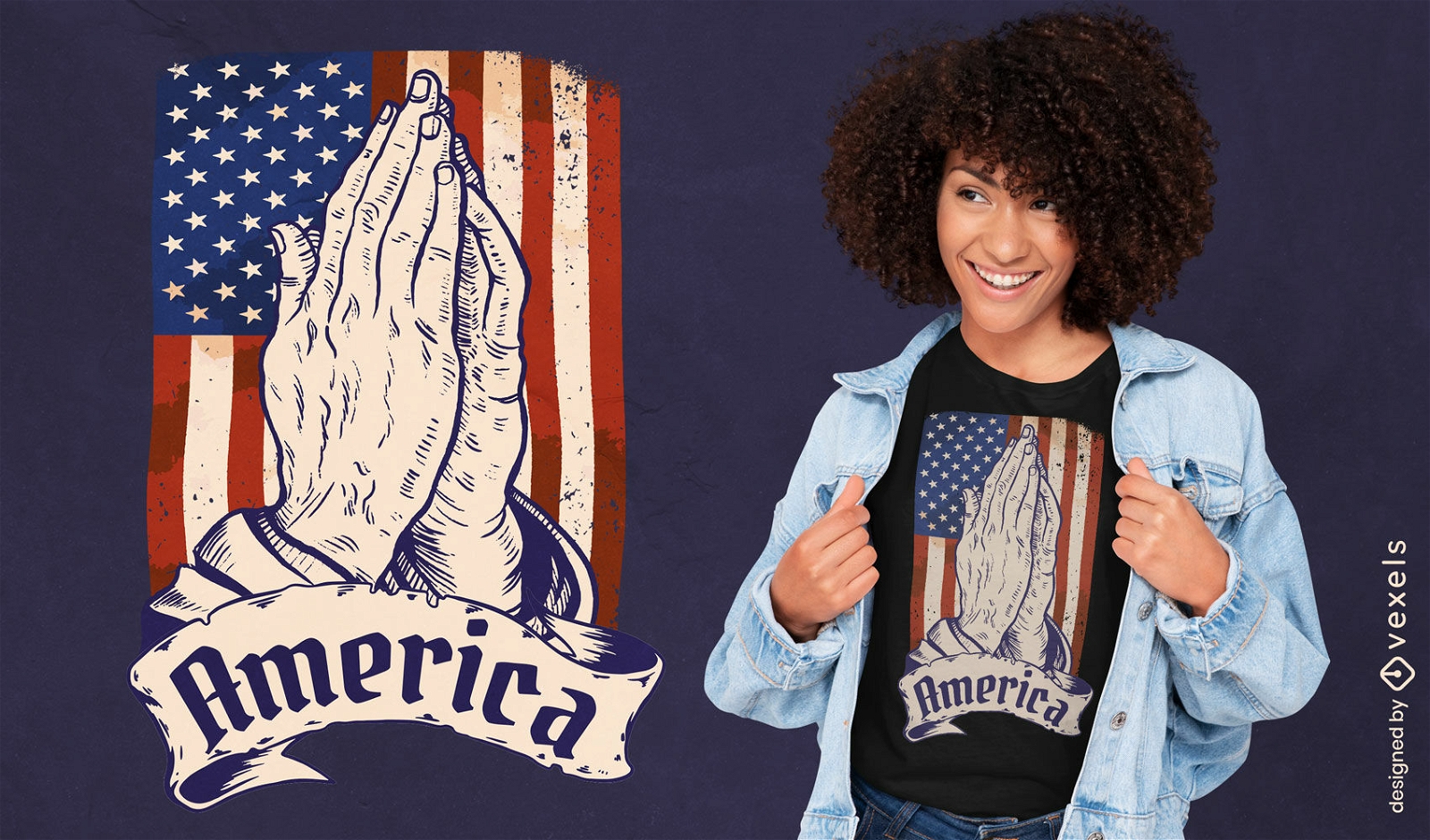
America praying hands t-shirt design
Choose a folder
All favorites
Create new
Save
America praying hands t-shirt design
Print ready
for Merch
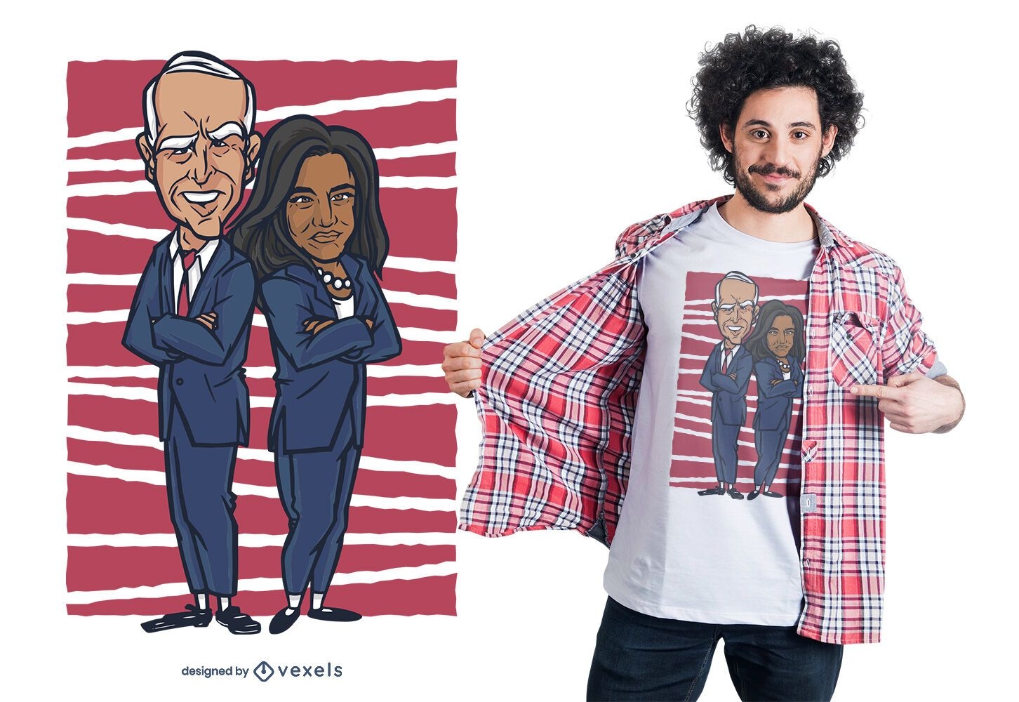
Biden harris t-shirt design
Choose a folder
All favorites
Create new
Save
Biden harris t-shirt design
for Merch
George Washington facepalm t-shirt design
Choose a folder
All favorites
Create new
Save
George Washington facepalm t-shirt design
Print ready
for Merch
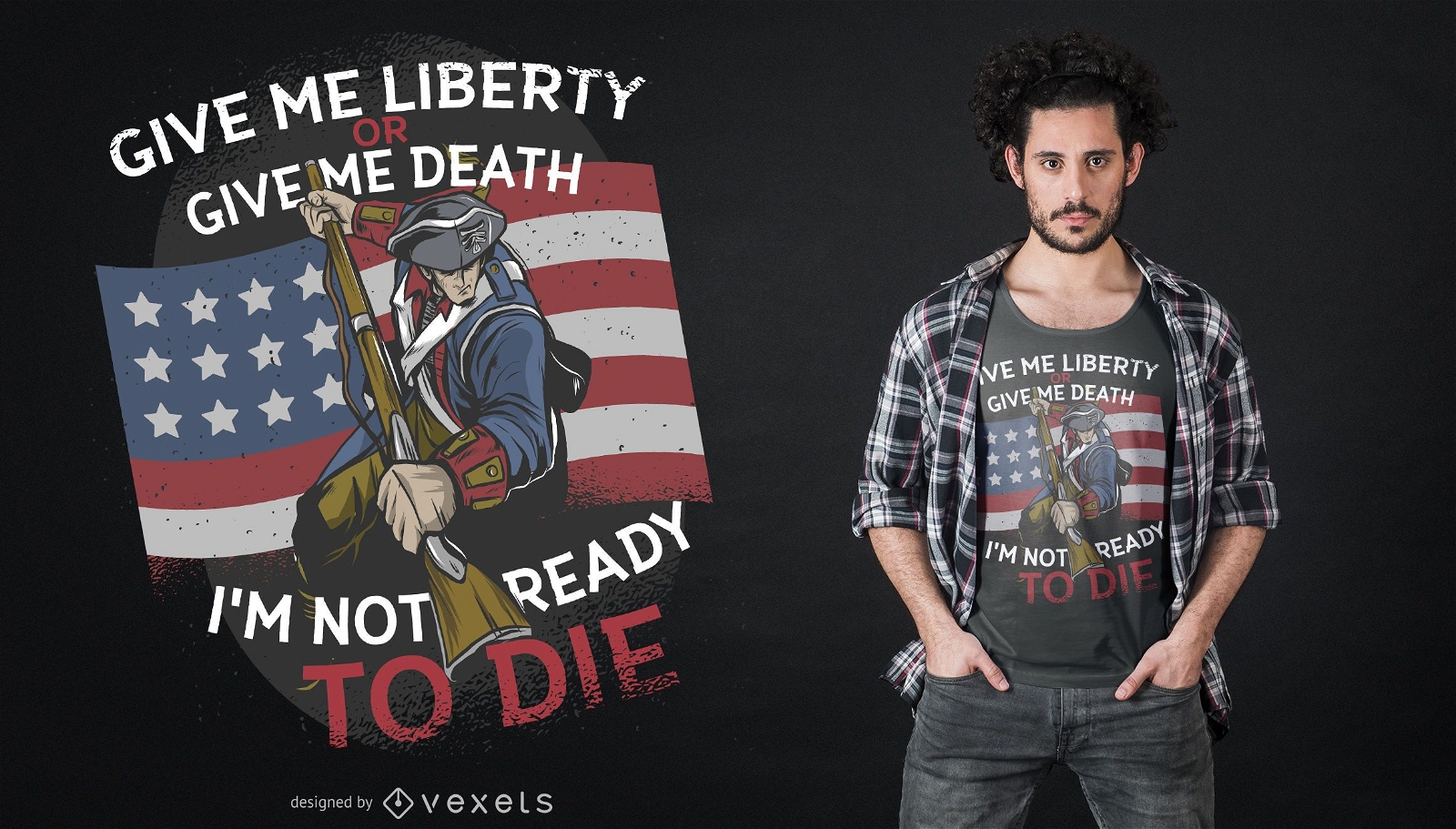
Freedom Death T-shirt Design
Choose a folder
All favorites
Create new
Save
Freedom Death T-shirt Design
Boost Your Business
With The Leading Graphic Platform For Merch.
SEE PLANS
Next
of 29
prev page
next page