Design Library
New Merch Designs
T-Shirts
Vectors
Trending Merch Designs
PNGs & SVGs
Mockups
T-Shirt PSD Templates
Explore Designs
KDP Designs
Posters
Mugs
Phone Cases
Tote Bags
Pillows
Design Tools
Merch Designer
New!
Mockup Generator
AI Design Generator
Image Vectorizer
Quote Generator
T-Shirt Maker (Old)
Resources
Merch Digest
Blog
Help Center
Learn About Merch
Feedback
Corporate Solutions
Enterprise
API Access
Design Studio
Bulk Design Production
Pricing
Loading...
Sign Up
Login
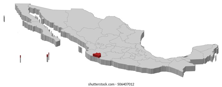
Merch Vectors
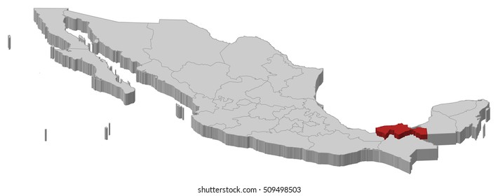
estados
Design Library
New Merch Designs
T-Shirts
Vectors
Trending Merch Designs
PNGs & SVGs
Mockups
T-Shirt PSD Templates
Explore Designs
KDP Designs
Posters
Mugs
Phone Cases
Tote Bags
Pillows
Design Tools
Merch Designer
New!
Mockup Generator
AI Design Generator
Image Vectorizer
Quote Generator
T-Shirt Maker (Old)
Resources
Merch Digest
Blog
Help Center
Learn About Merch
Feedback
Corporate Solutions
Enterprise
API Access
Design Studio
Bulk Design Production
PLANS
Merch Vectors
estados
1449 estados Vector Designs for T-Shirts and merch
Download & buy editable estados AI Vector Graphics Designs for T shirts, Phone Cases, Book Covers and other Merch
Sort by
Most relevant
Sponsored results by
Get 15% off with code: VEXELS15
Show more
Print ready
for Merch
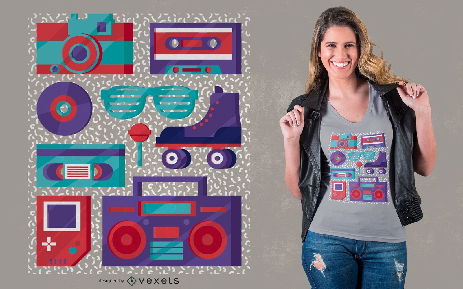
Retro Elements 90s T-shirt Design
Choose a folder
All favorites
Create new
Save
Retro Elements 90s T-shirt Design
Print ready
for Merch
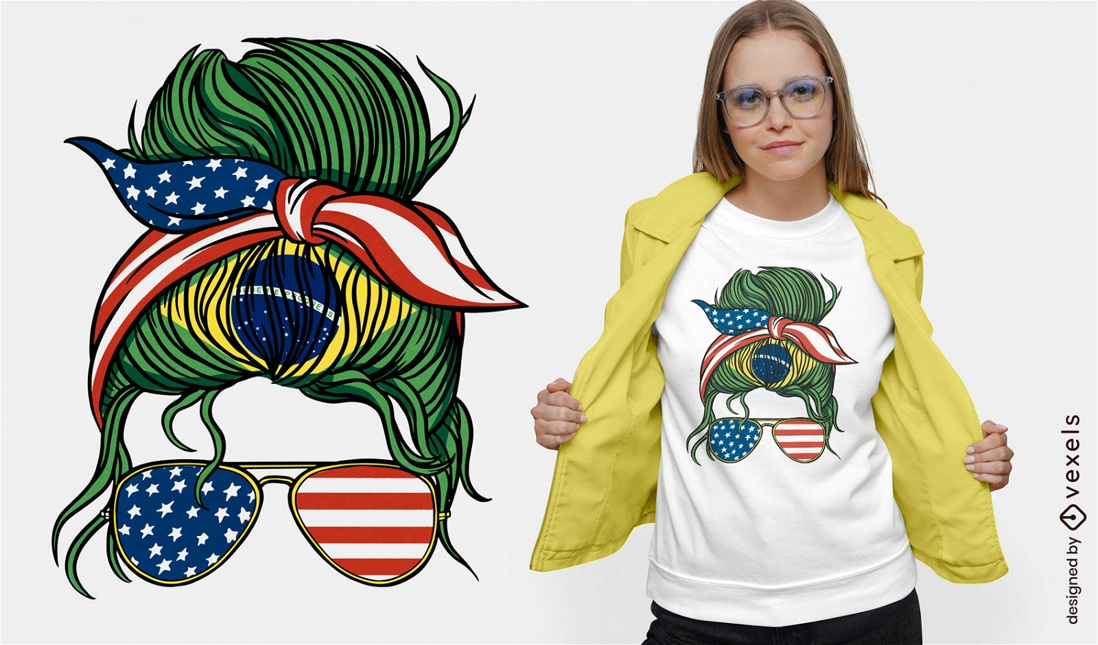
Brazil and USA bandana t-shirt design
Choose a folder
All favorites
Create new
Save
Brazil and USA bandana t-shirt design
Editable text
Print ready
for Merch
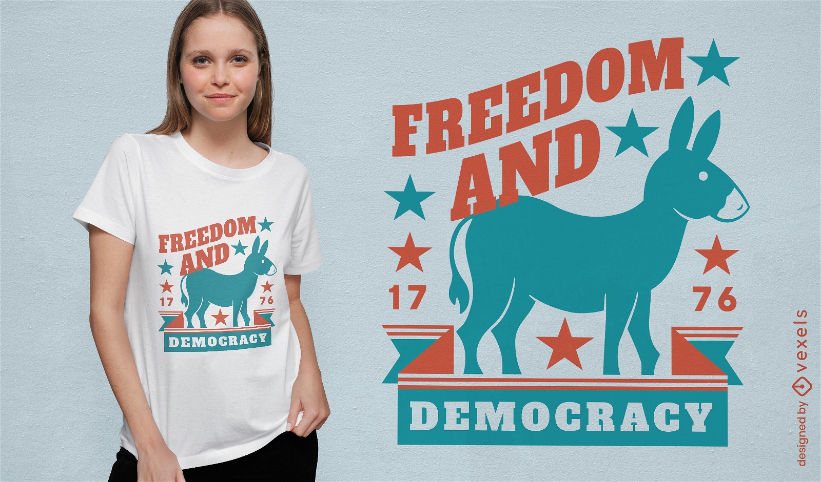
Democrats donkey t-shirt design
Choose a folder
All favorites
Create new
Save
Democrats donkey t-shirt design
Editable text
Print ready
for Merch
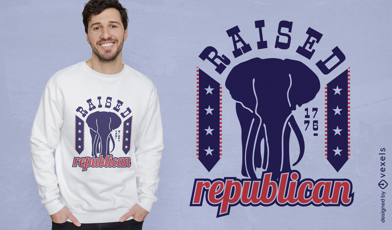
Raised republican t-shirt design
Choose a folder
All favorites
Create new
Save
Raised republican t-shirt design
Print ready
for Merch
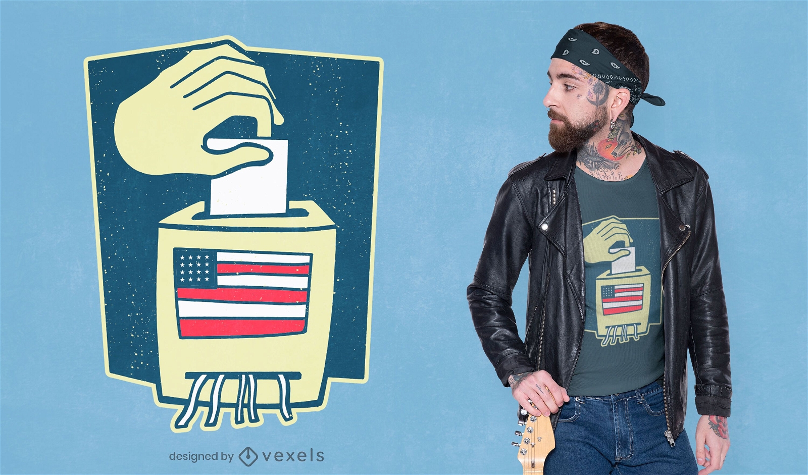
Ballot box t-shirt design
Choose a folder
All favorites
Create new
Save
Ballot box t-shirt design
Print ready
for Merch
USA Birthday cake t-shirt design
Choose a folder
All favorites
Create new
Save
USA Birthday cake t-shirt design
Editable text
Print ready
for Merch
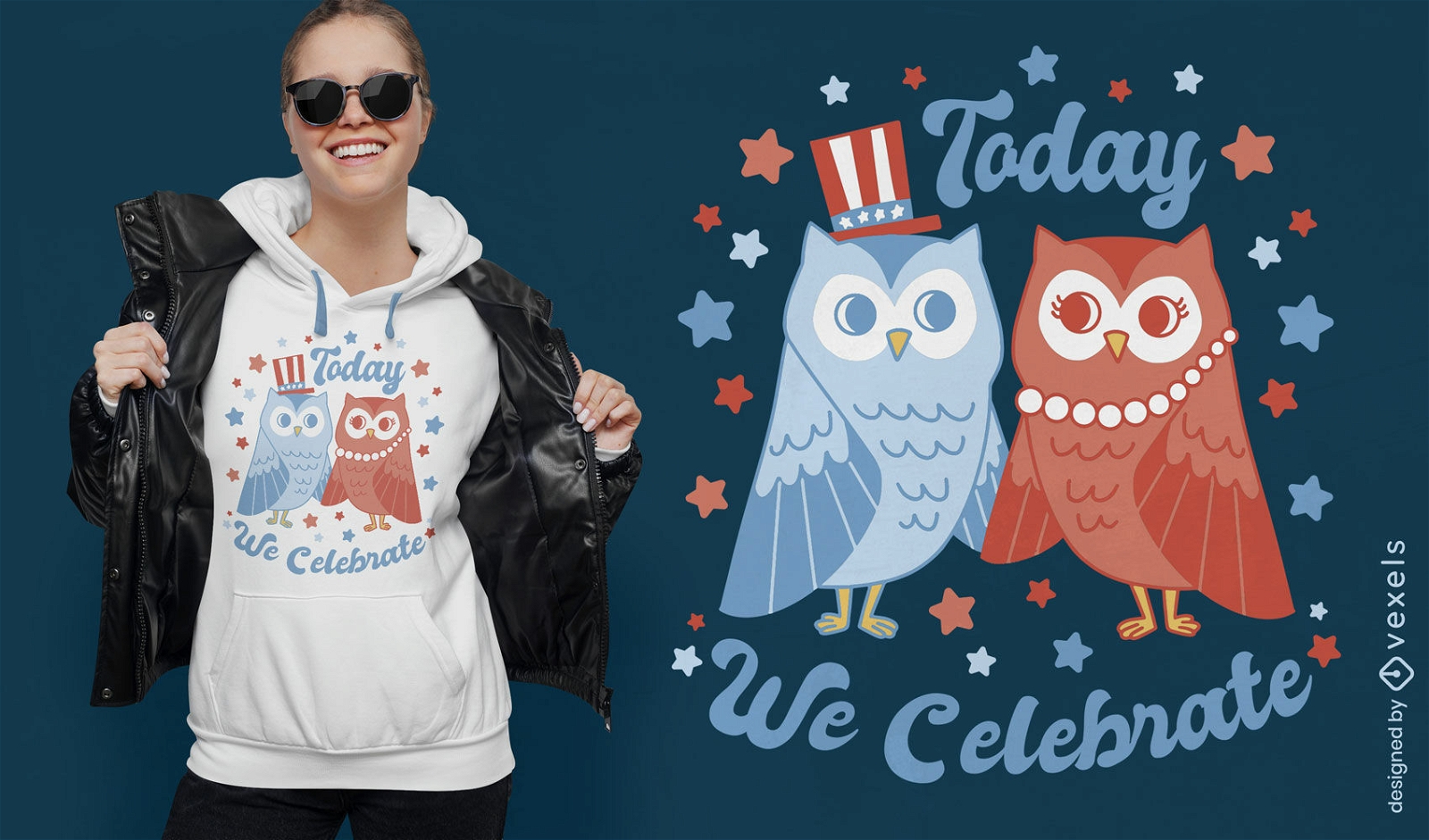
Today we celebrate 4th of July t-shirt design
Choose a folder
All favorites
Create new
Save
Today we celebrate 4th of July t-shirt design
Print ready
for Merch
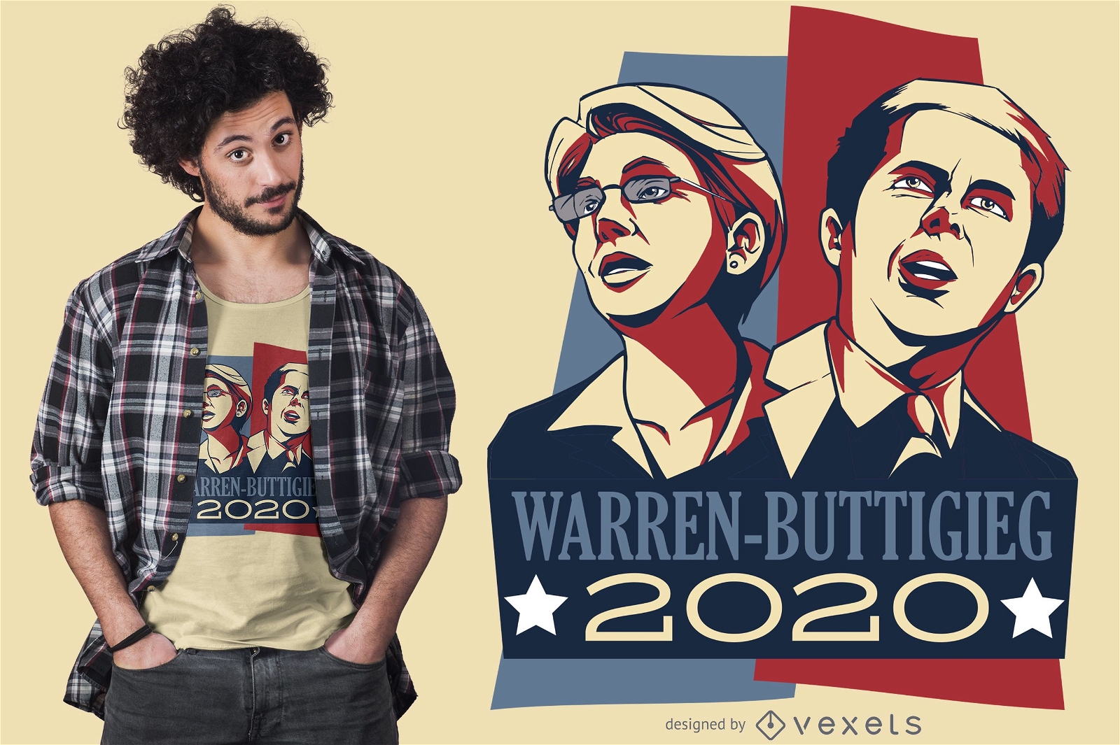
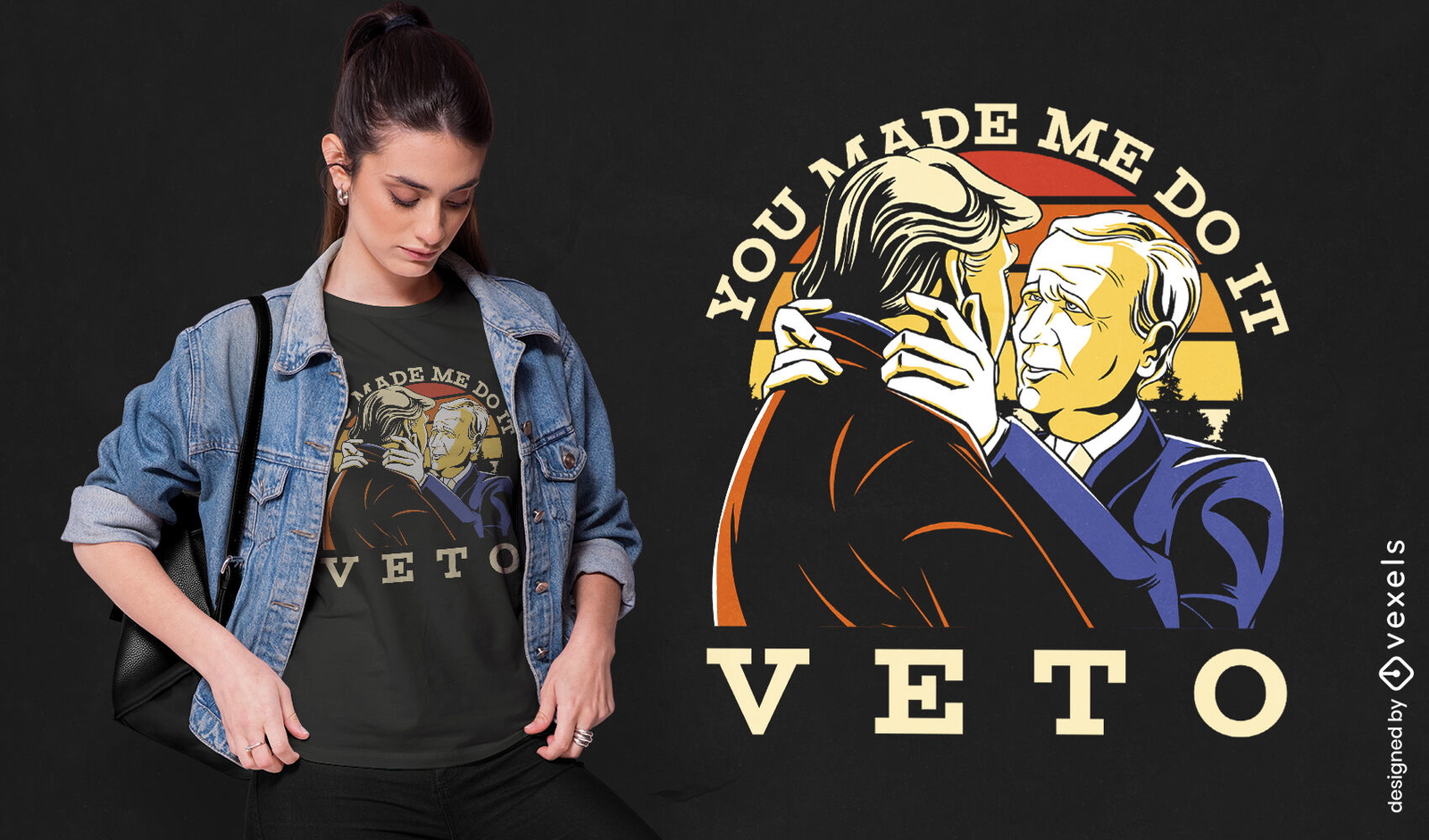
Warren Buttigieg Debate 2020 T-shirt Design
Choose a folder
All favorites
Create new
Save
Warren Buttigieg Debate 2020 T-shirt Design
Print ready
for Merch
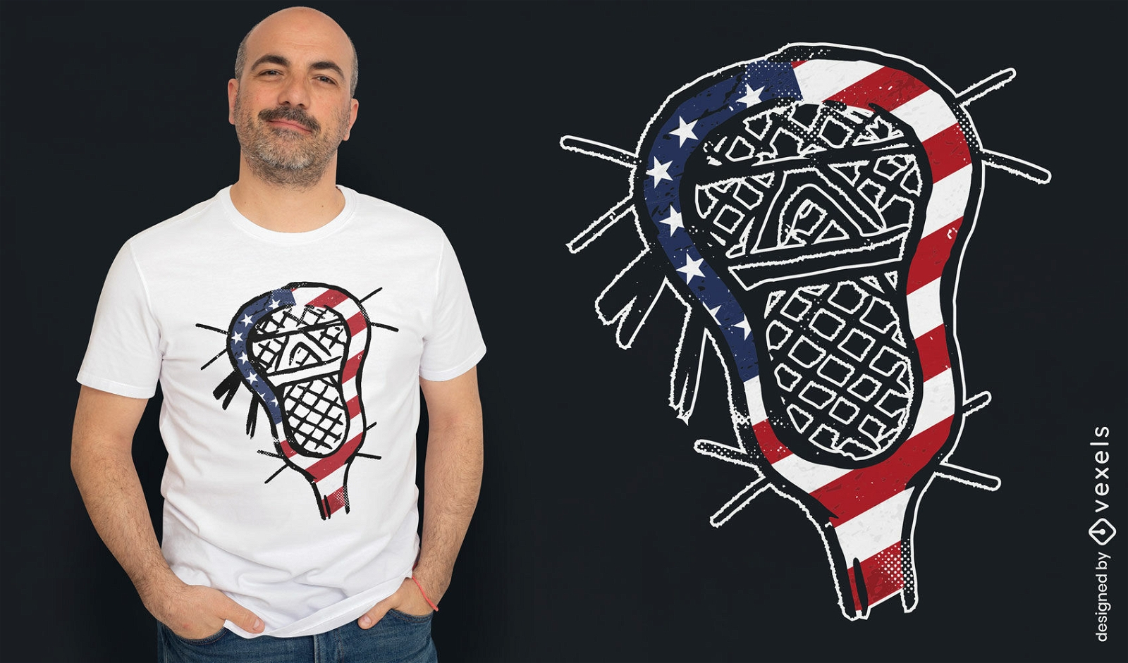
American flag lacrosse stick t-shirt design
Choose a folder
All favorites
Create new
Save
American flag lacrosse stick t-shirt design
Print ready
for Merch
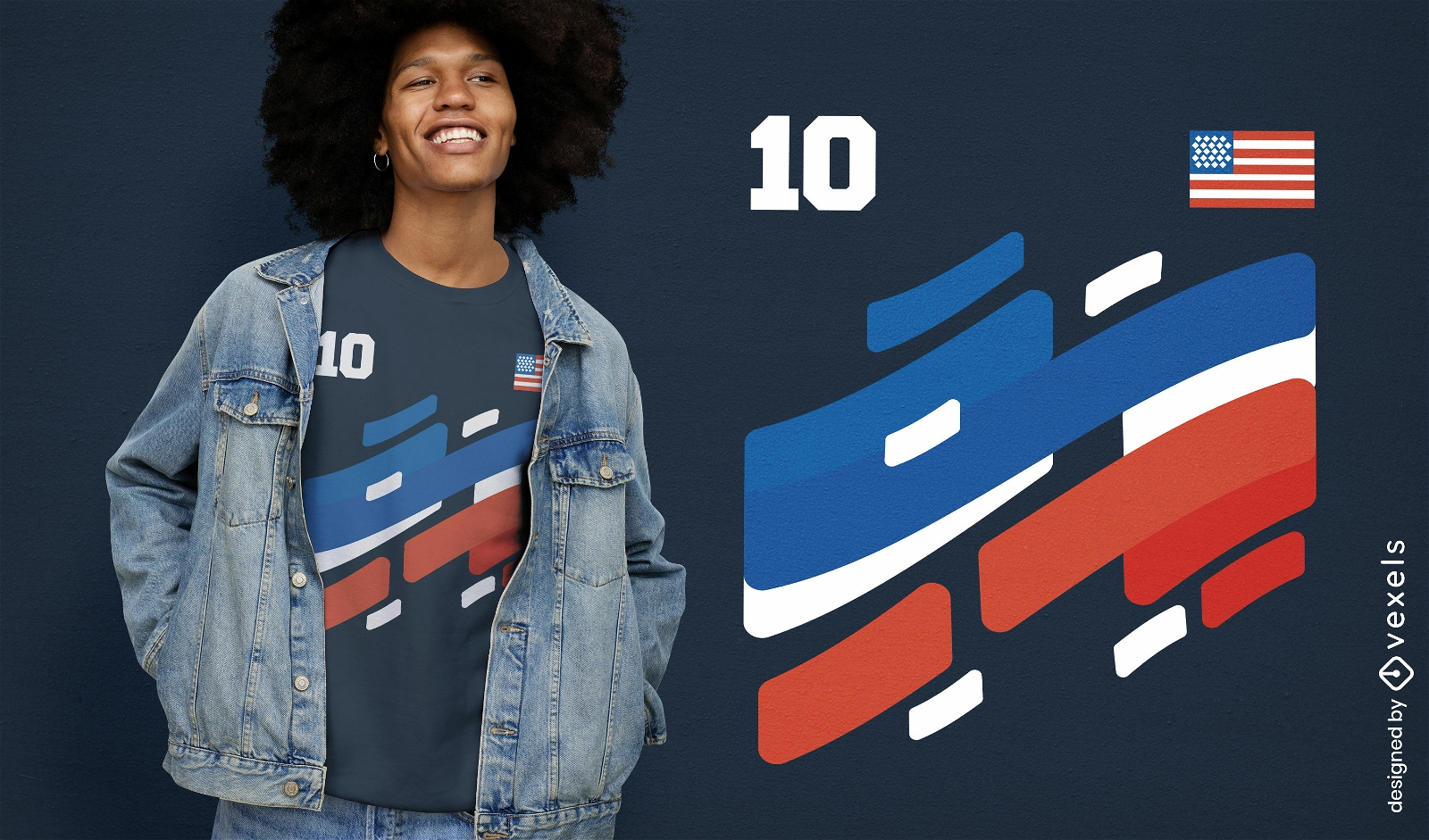
American sports team t-shirt design
Choose a folder
All favorites
Create new
Save
American sports team t-shirt design
Editable text
Print ready
for Merch
USA presidents sunset t-shirt design
Choose a folder
All favorites
Create new
Save
USA presidents sunset t-shirt design
Print ready
for Merch
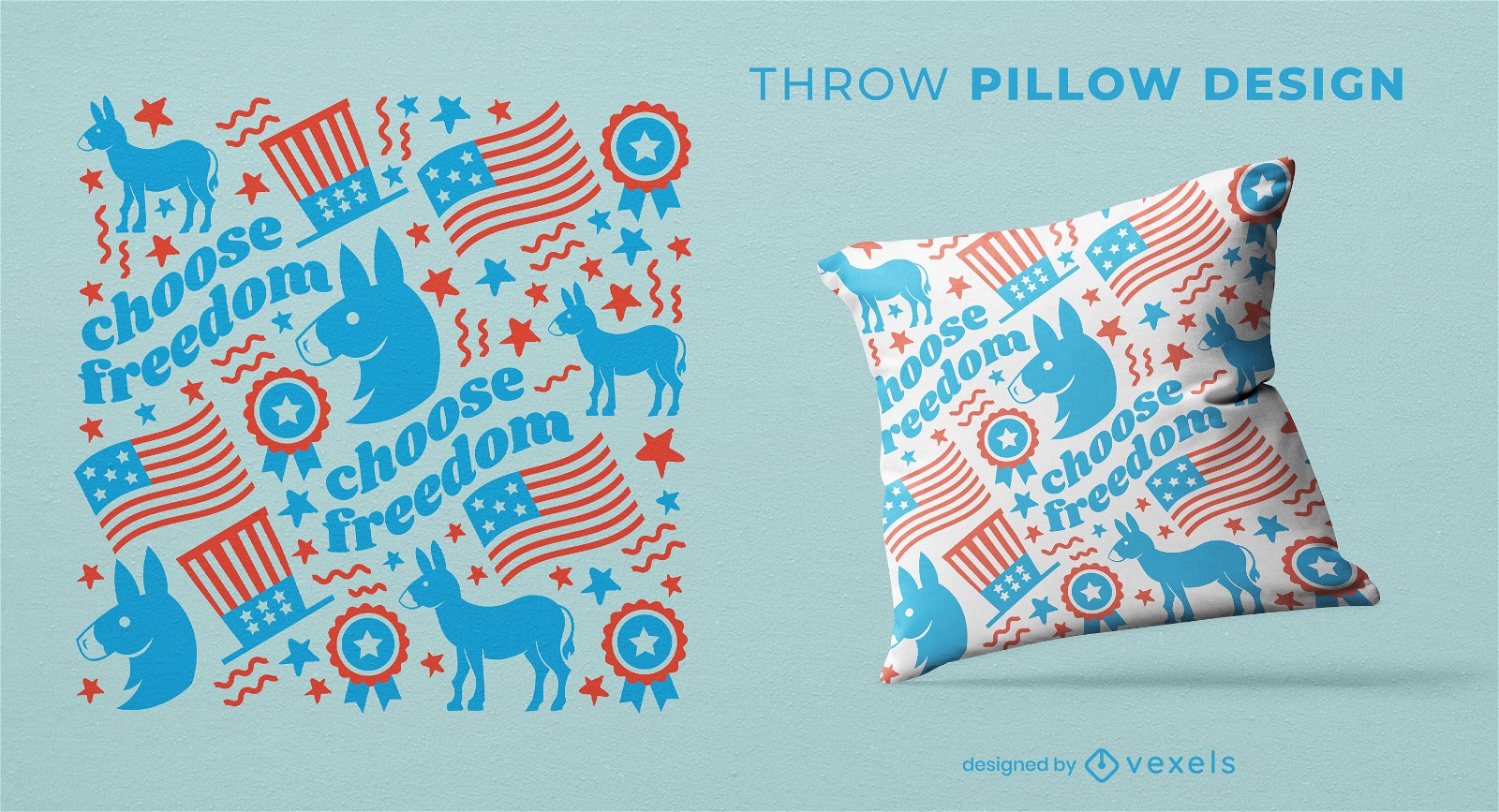
Democrats donkey pattern throw pillow design
Choose a folder
All favorites
Create new
Save
Democrats donkey pattern throw pillow design
Print ready
for Merch
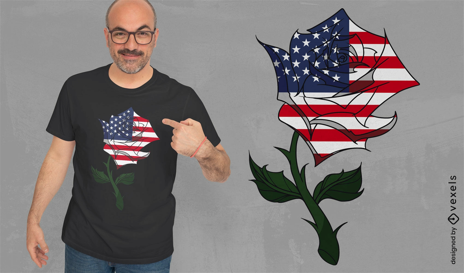
USA flag rose t-shirt design
Choose a folder
All favorites
Create new
Save
USA flag rose t-shirt design
Print ready
for Merch
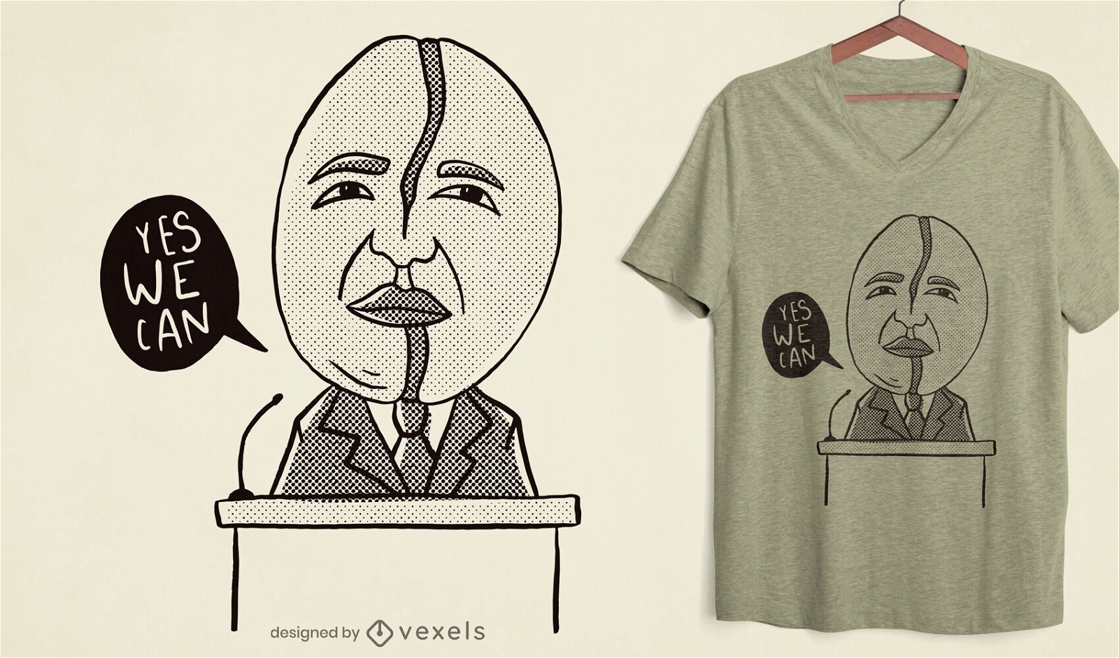
Coffee bean Obama t-shirt design
Choose a folder
All favorites
Create new
Save
Coffee bean Obama t-shirt design
Editable text
Print ready
for Merch
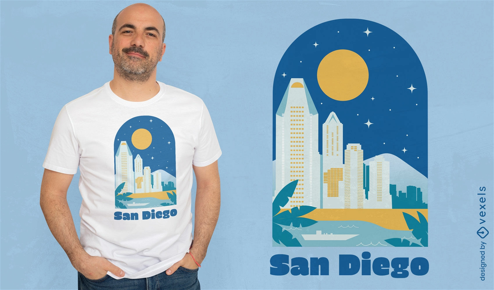
San Diego city t-shirt design
Choose a folder
All favorites
Create new
Save
San Diego city t-shirt design
Editable text
Print ready
for Merch
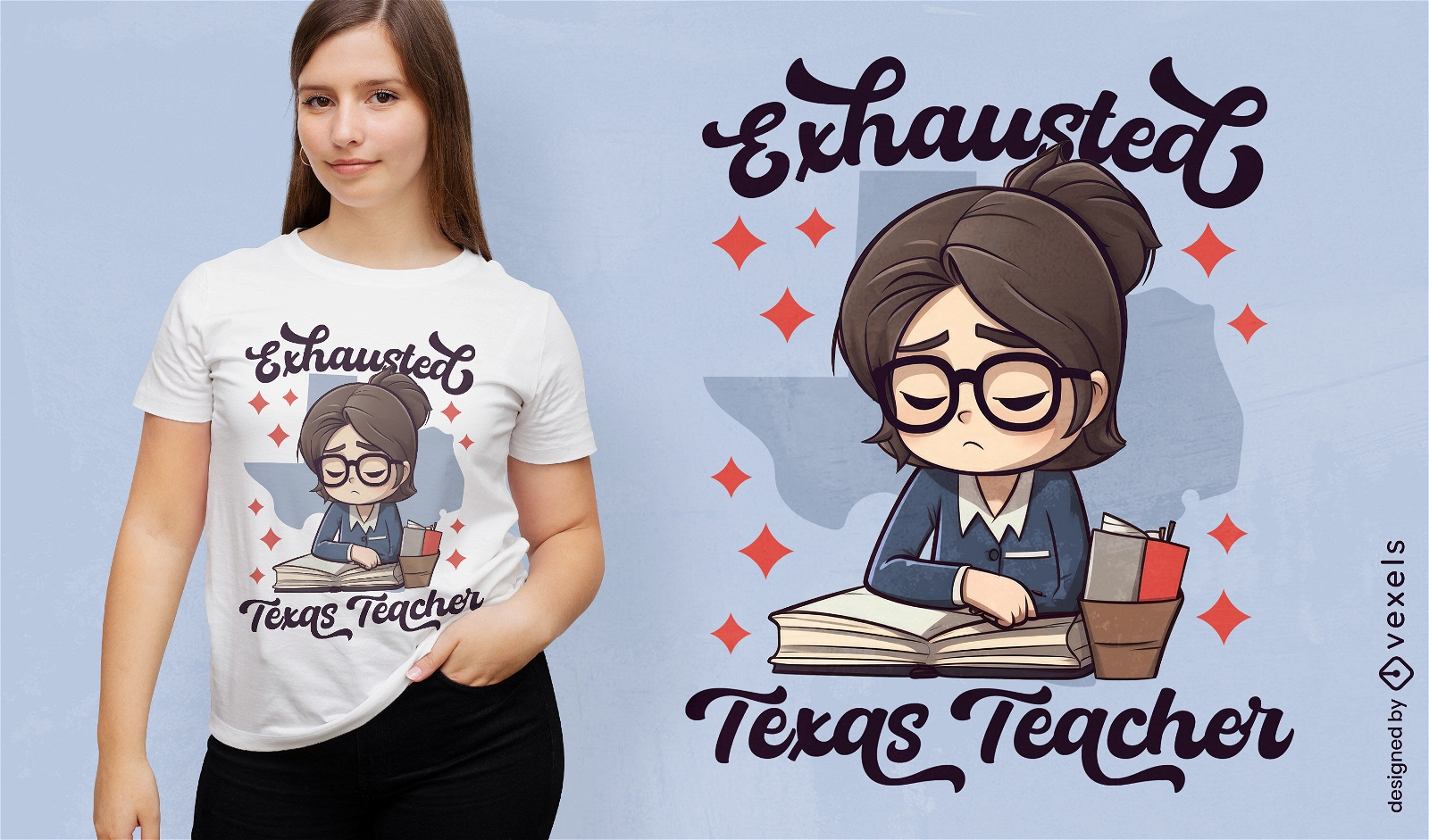
Tired teacher in Texas t-shirt design
Choose a folder
All favorites
Create new
Save
Tired teacher in Texas t-shirt design
Editable text
Print ready
for Merch
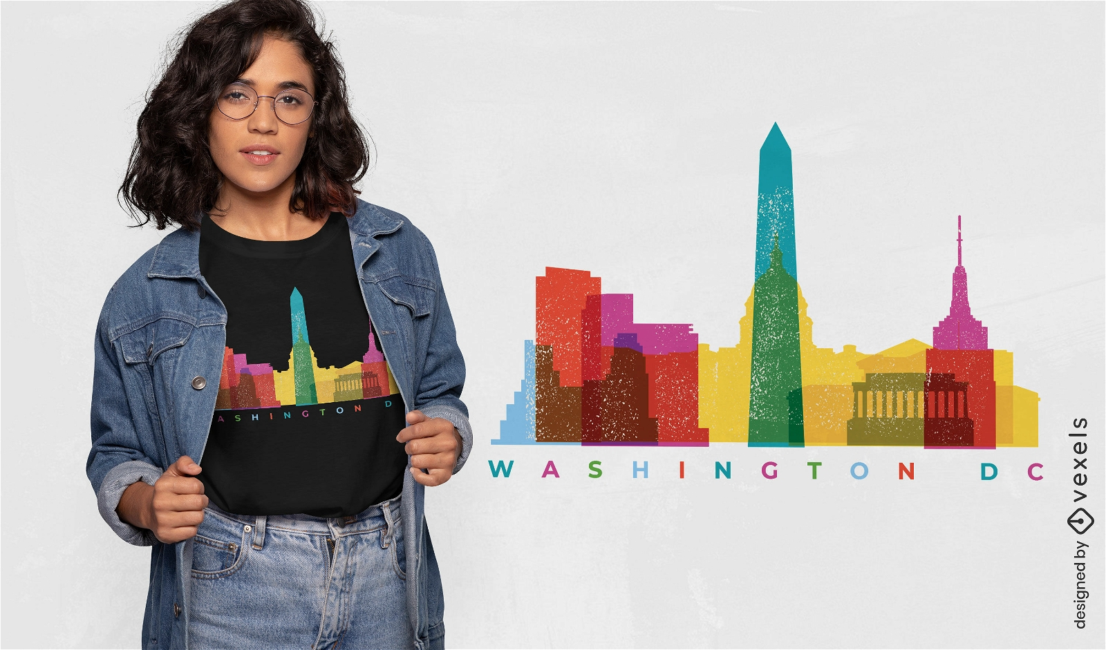
Washington colorful landmarks t-shirt design
Choose a folder
All favorites
Create new
Save
Washington colorful landmarks t-shirt design
Print ready
for Merch
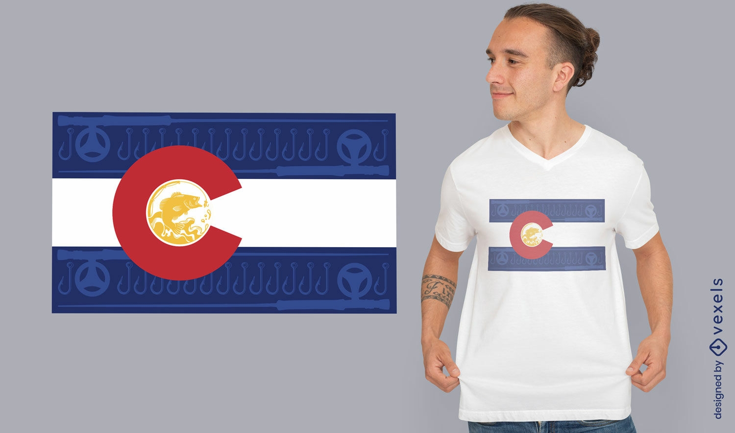
Colorado flag t-shirt design
Choose a folder
All favorites
Create new
Save
Colorado flag t-shirt design
Print ready
for Merch
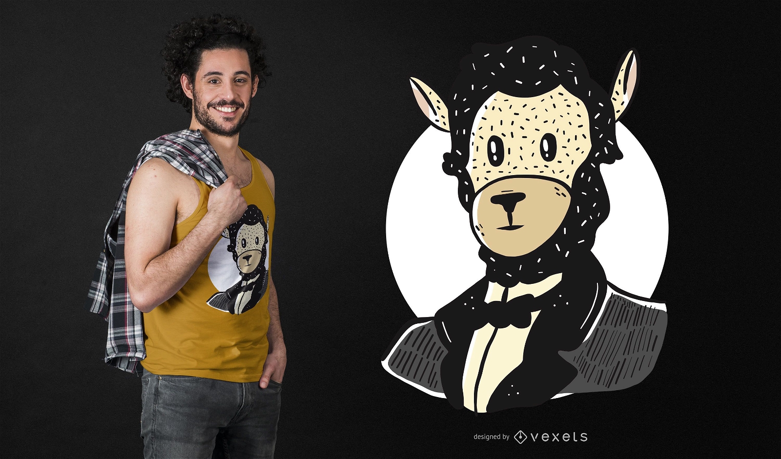
Lincoln Llama T-shirt Design
Choose a folder
All favorites
Create new
Save
Lincoln Llama T-shirt Design
Print ready
for Merch
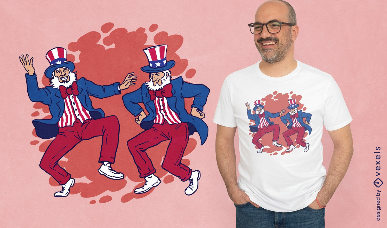
Uncle Sam dancing t-shirt design
Choose a folder
All favorites
Create new
Save
Uncle Sam dancing t-shirt design
Print ready
for Merch
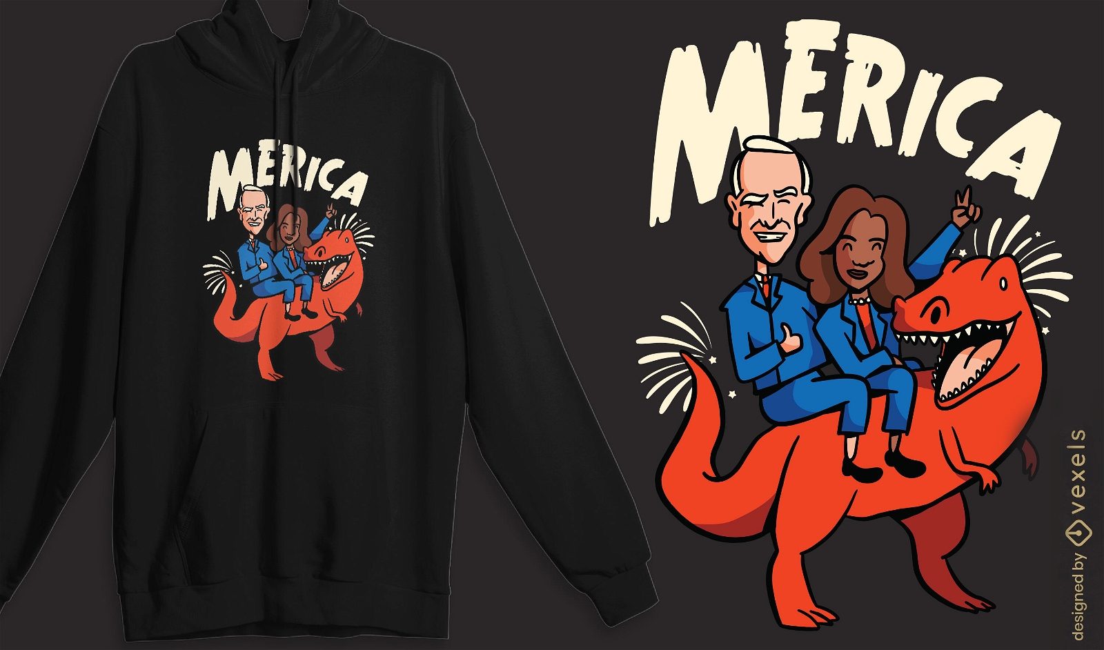
US politicians riding t-rex t-shirt design
Choose a folder
All favorites
Create new
Save
US politicians riding t-rex t-shirt design
AI generated, curated by our designers
for Merch
Cat nap mood t-shirt design
Choose a folder
All favorites
Create new
Save
Cat nap mood t-shirt design
AI generated, curated by our designers
for Merch
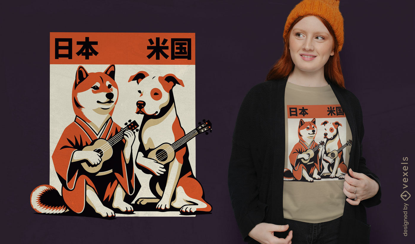
Musical Japanese and American dogs t-shirt design
Choose a folder
All favorites
Create new
Save
Musical Japanese and American dogs t-shirt design
Editable text
Print ready
for Merch
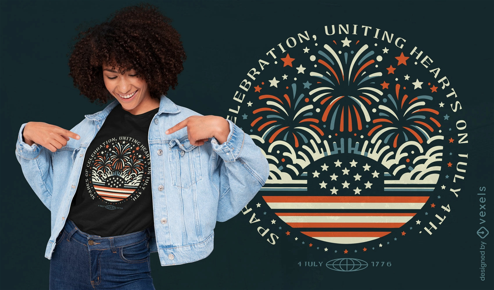
Patriotic fireworks t-shirt design
Choose a folder
All favorites
Create new
Save
Patriotic fireworks t-shirt design
Print ready
for Merch
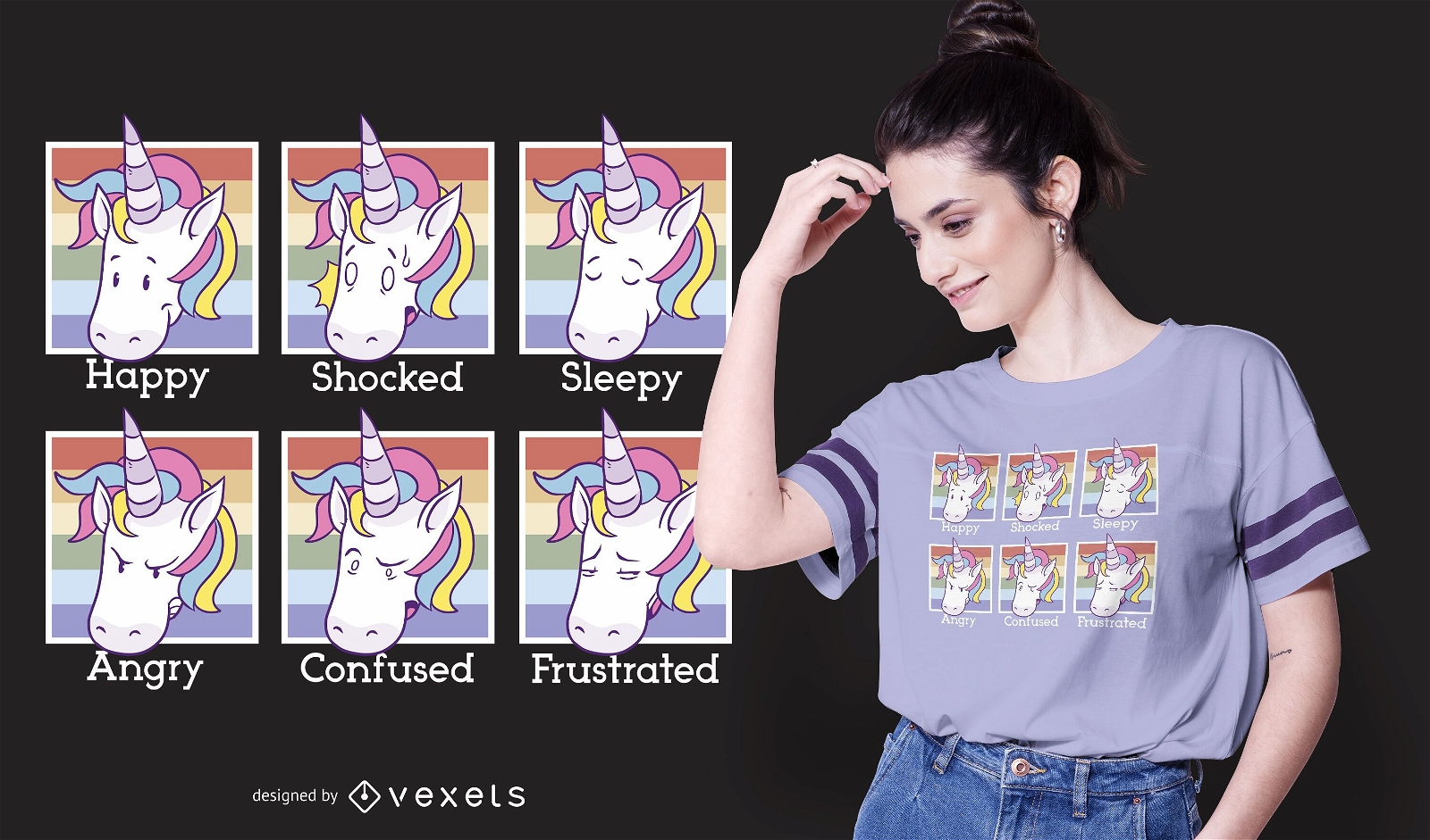
Unicorn Moods T-shirt Design
Choose a folder
All favorites
Create new
Save
Unicorn Moods T-shirt Design
Print ready
for Merch
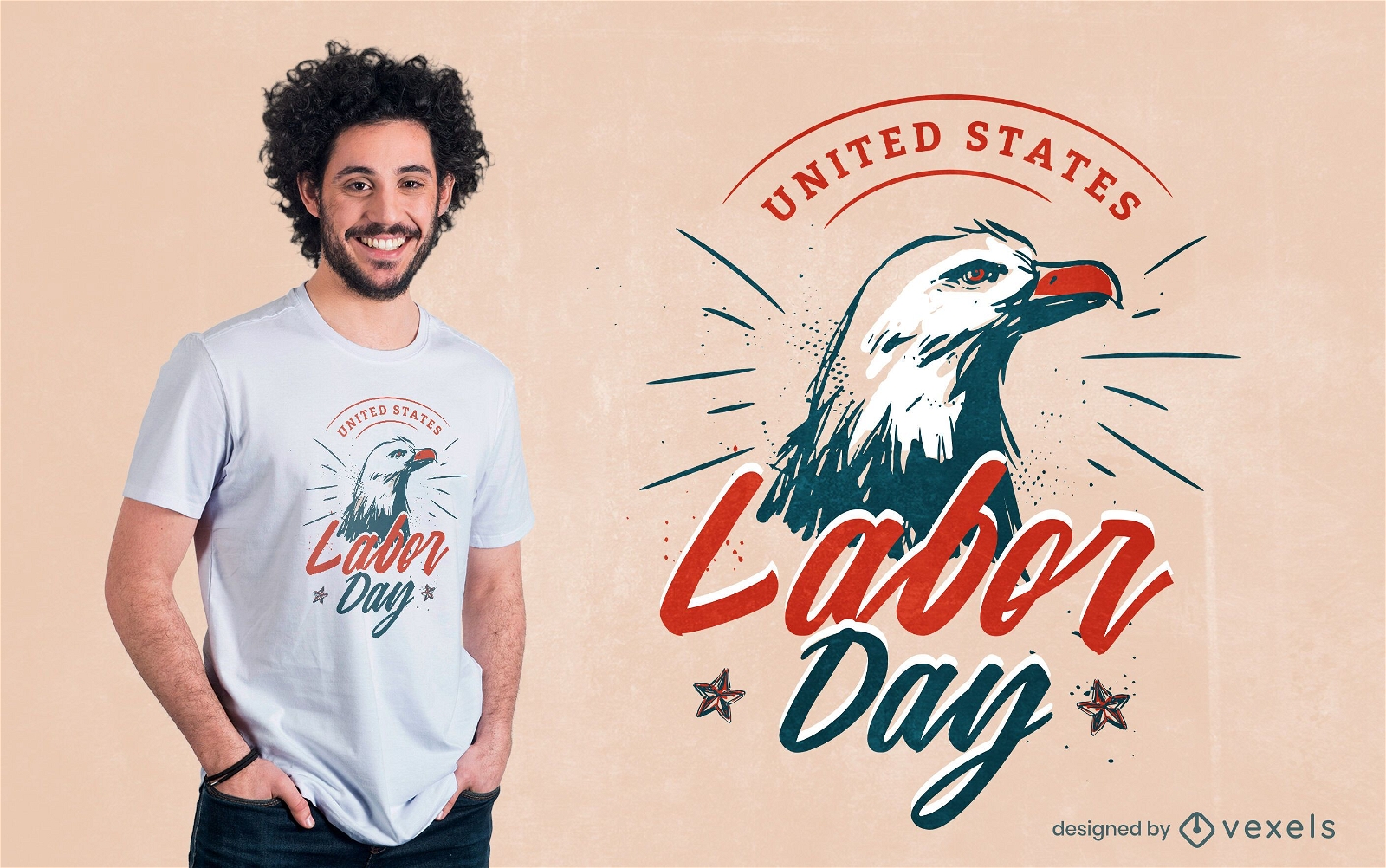
Labor day eagle t-shirt design
Choose a folder
All favorites
Create new
Save
Labor day eagle t-shirt design
Print ready
for Merch
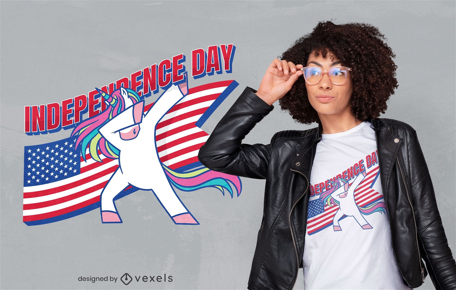
Independence day unicorn t-shirt design
Choose a folder
All favorites
Create new
Save
Independence day unicorn t-shirt design
Editable text
Print ready
for Merch
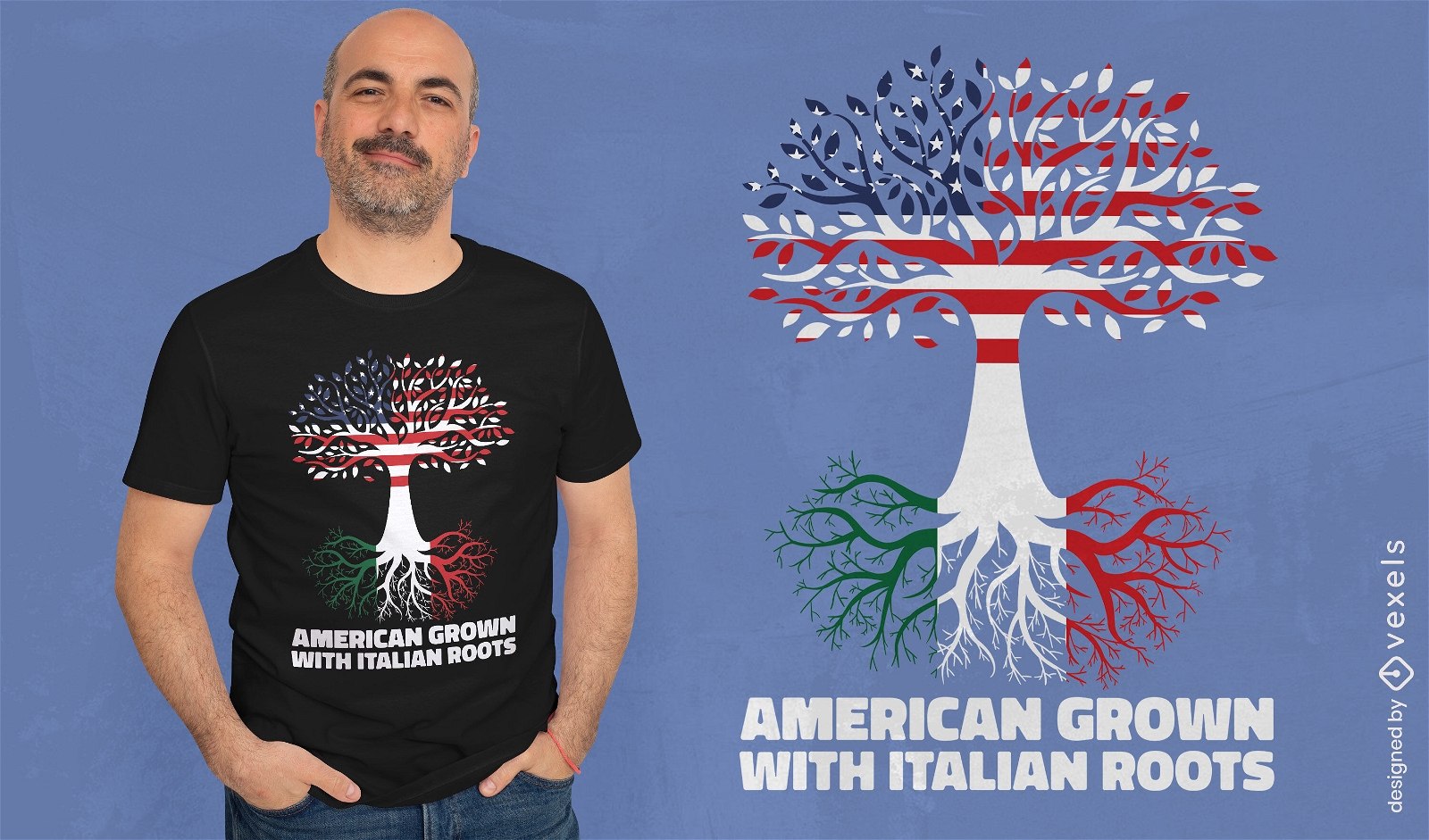
American Italian t-shirt design
Choose a folder
All favorites
Create new
Save
American Italian t-shirt design
Print ready
for Merch
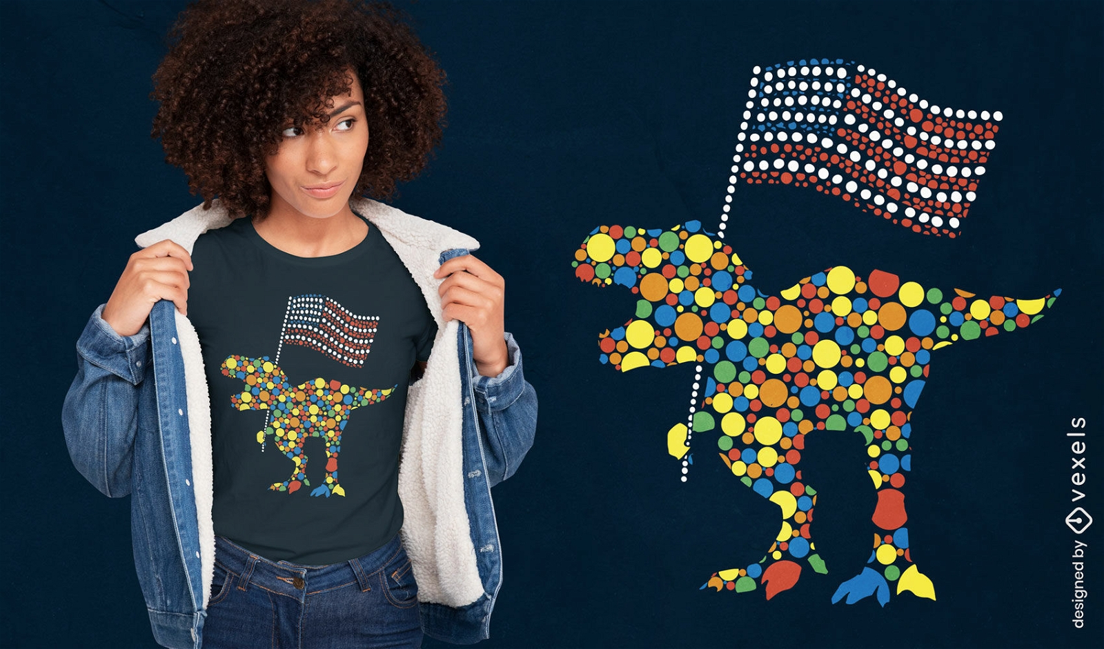
Patriotic t-rex dots t-shirt design
Choose a folder
All favorites
Create new
Save
Patriotic t-rex dots t-shirt design
Print ready
for Merch
USA marine badge doodle t-shirt design
Choose a folder
All favorites
Create new
Save
USA marine badge doodle t-shirt design
Editable text
Print ready
for Merch
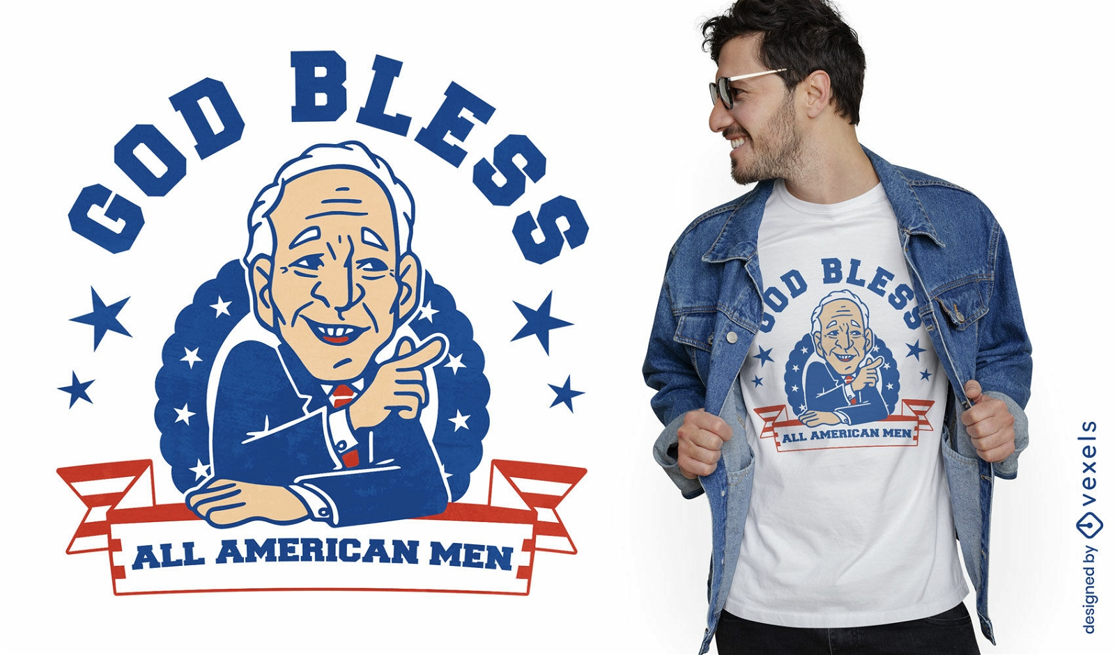
God bless American men t-shirt design
Choose a folder
All favorites
Create new
Save
God bless American men t-shirt design
Print ready
for Merch
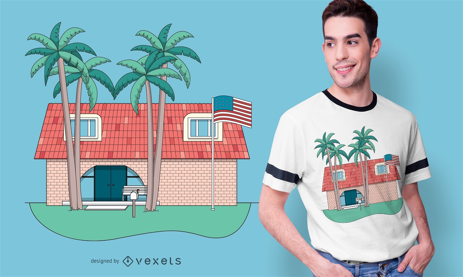
Tropical frat house t-shirt design
Choose a folder
All favorites
Create new
Save
Tropical frat house t-shirt design
Editable text
Print ready
for Merch
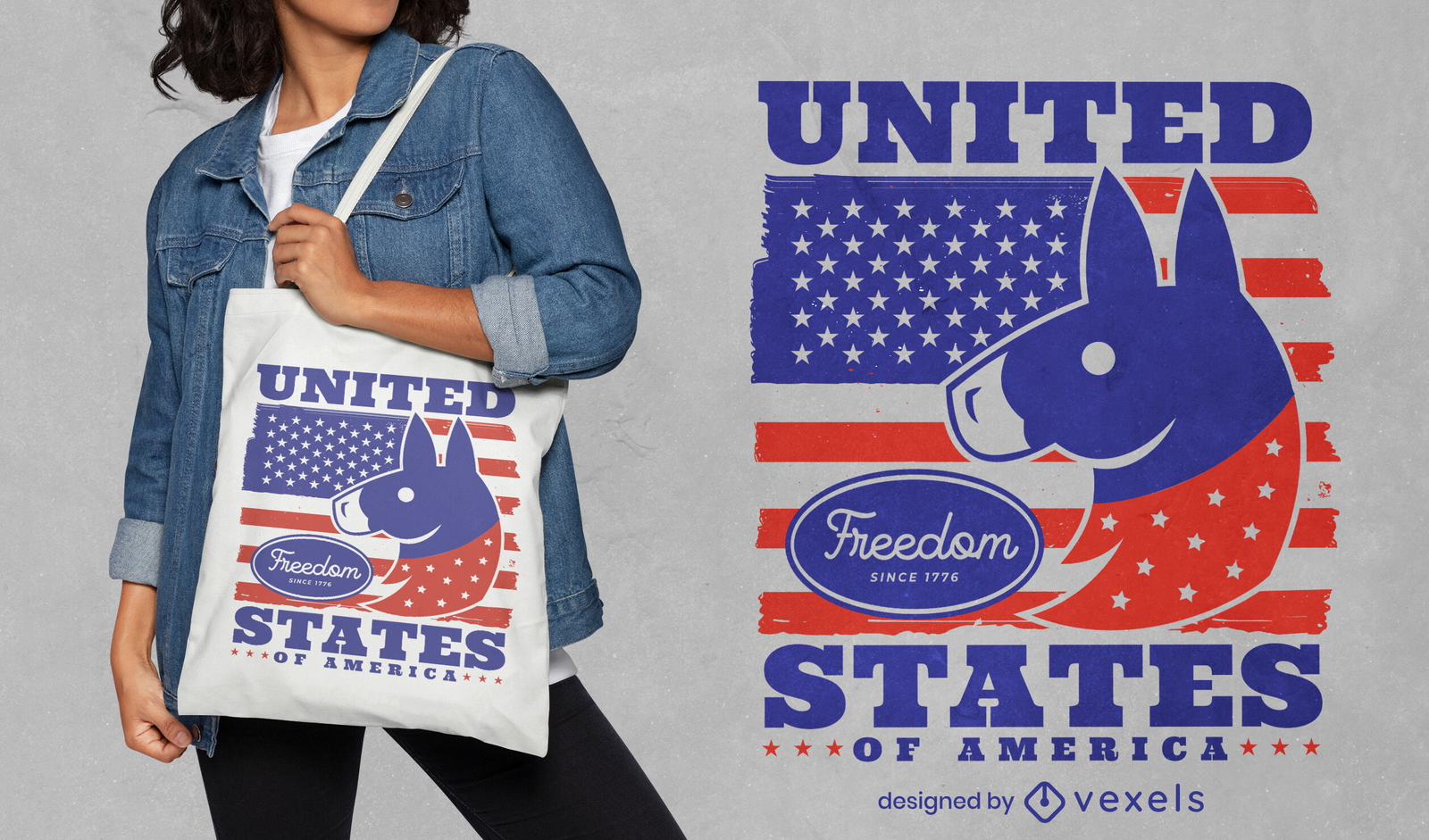
Donkey with American flag tote bag design
Choose a folder
All favorites
Create new
Save
Donkey with American flag tote bag design
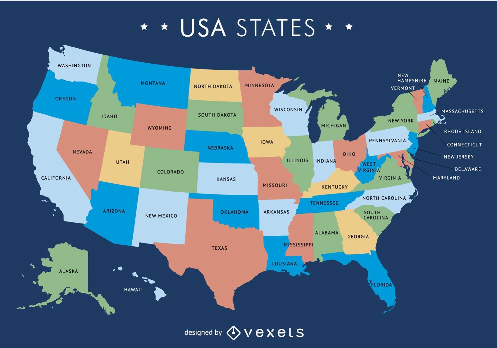
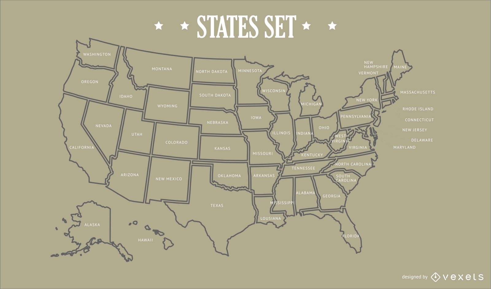
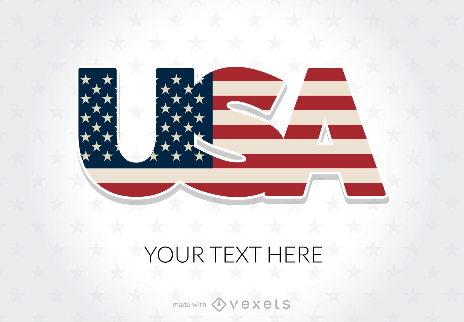
USA map with states
Choose a folder
All favorites
Create new
Save
USA map with states
Premium
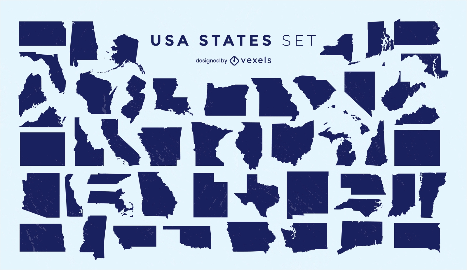
States of the US silhouettes set
Choose a folder
All favorites
Create new
Save
States of the US silhouettes set
Premium
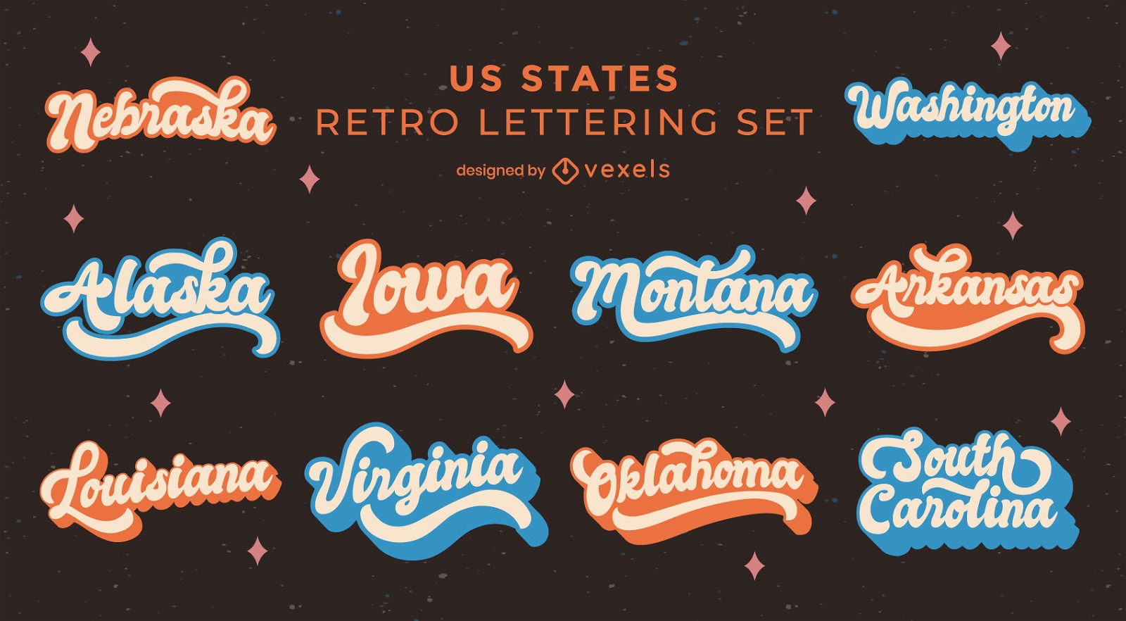
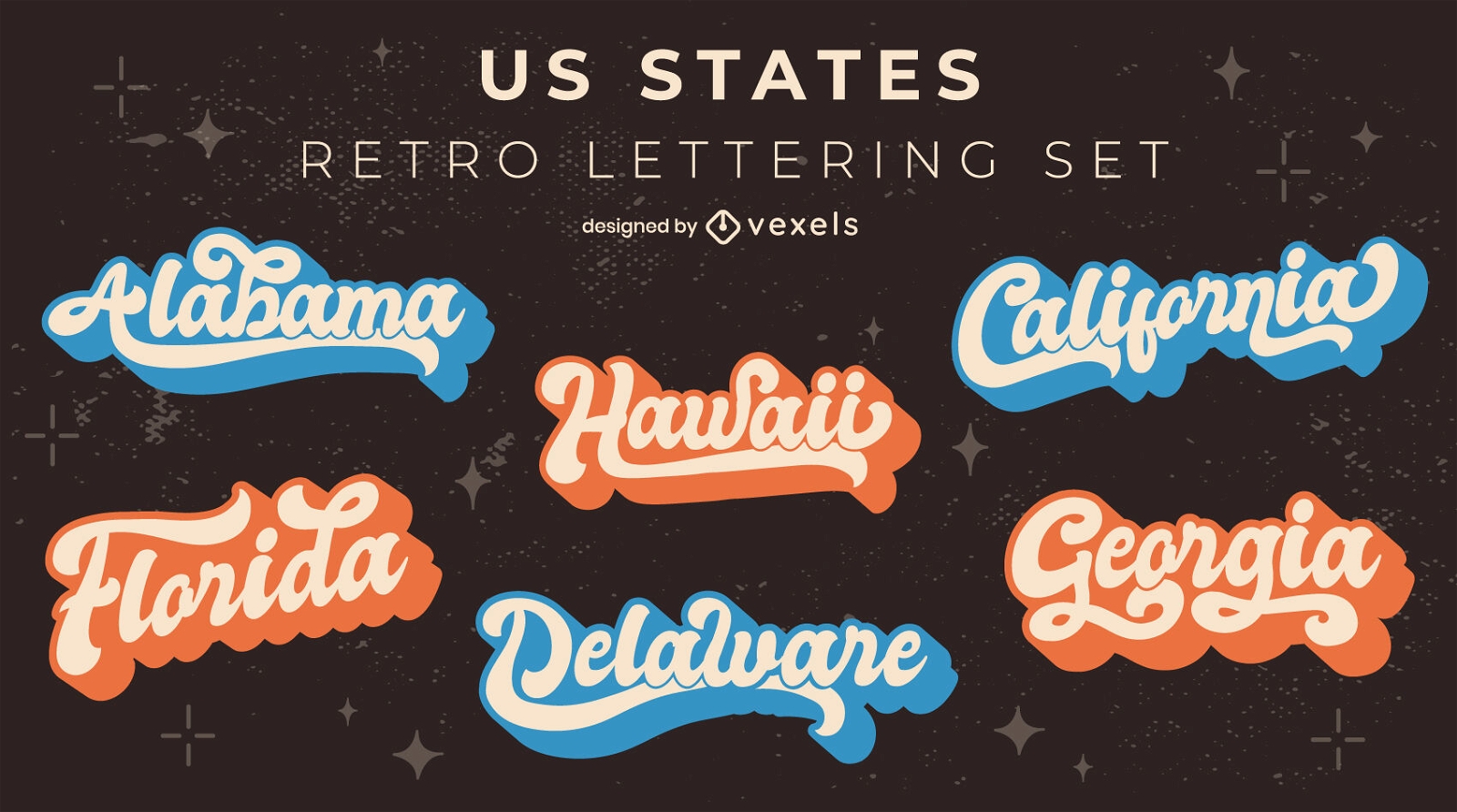
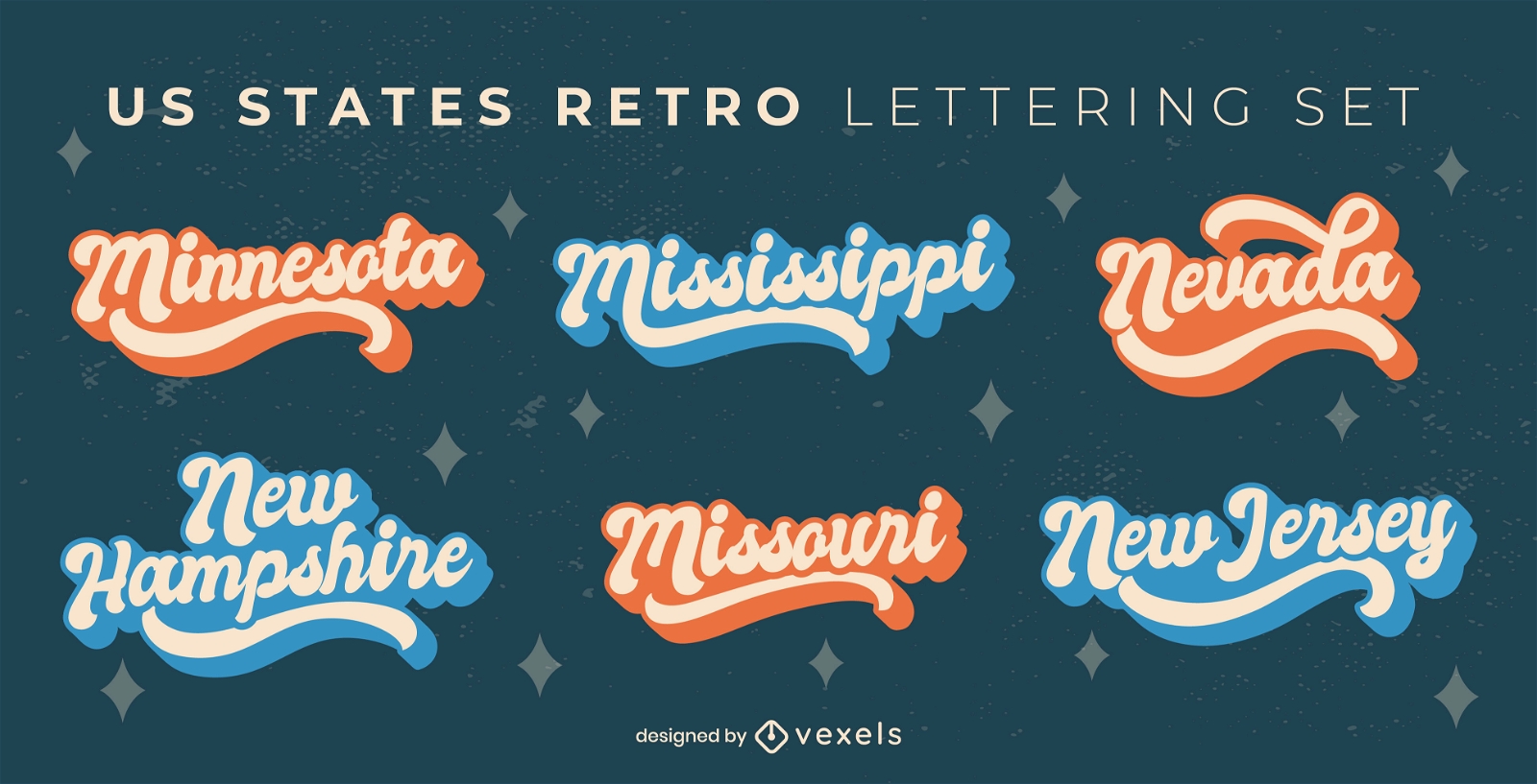
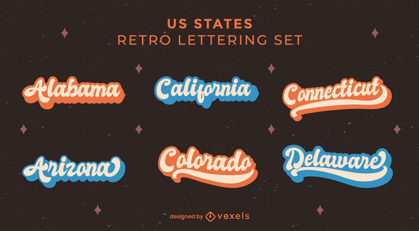
US states retro lettering set
Choose a folder
All favorites
Create new
Save
US states retro lettering set
Premium
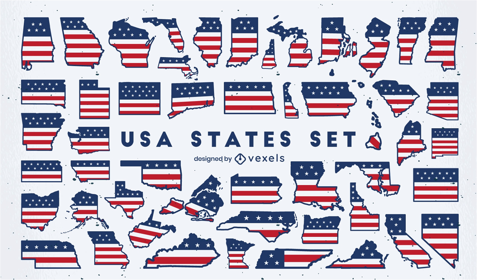
United states silhouettes flat set
Choose a folder
All favorites
Create new
Save
United states silhouettes flat set
Premium
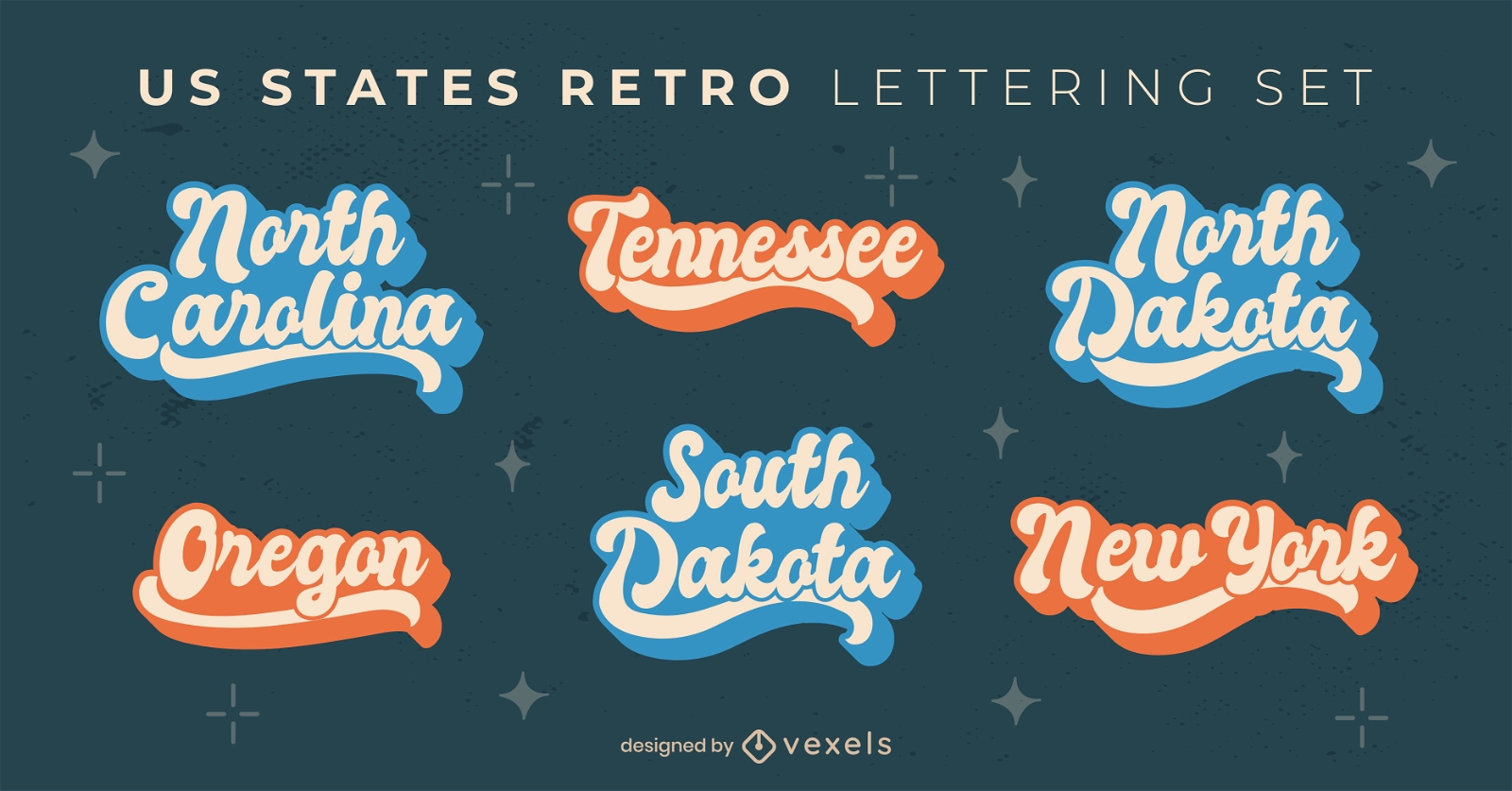
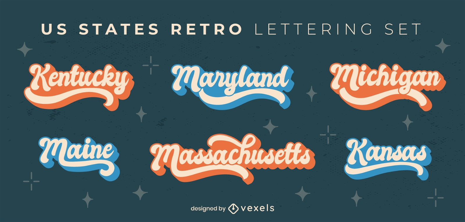
USA states retro lettering set
Choose a folder
All favorites
Create new
Save
USA states retro lettering set
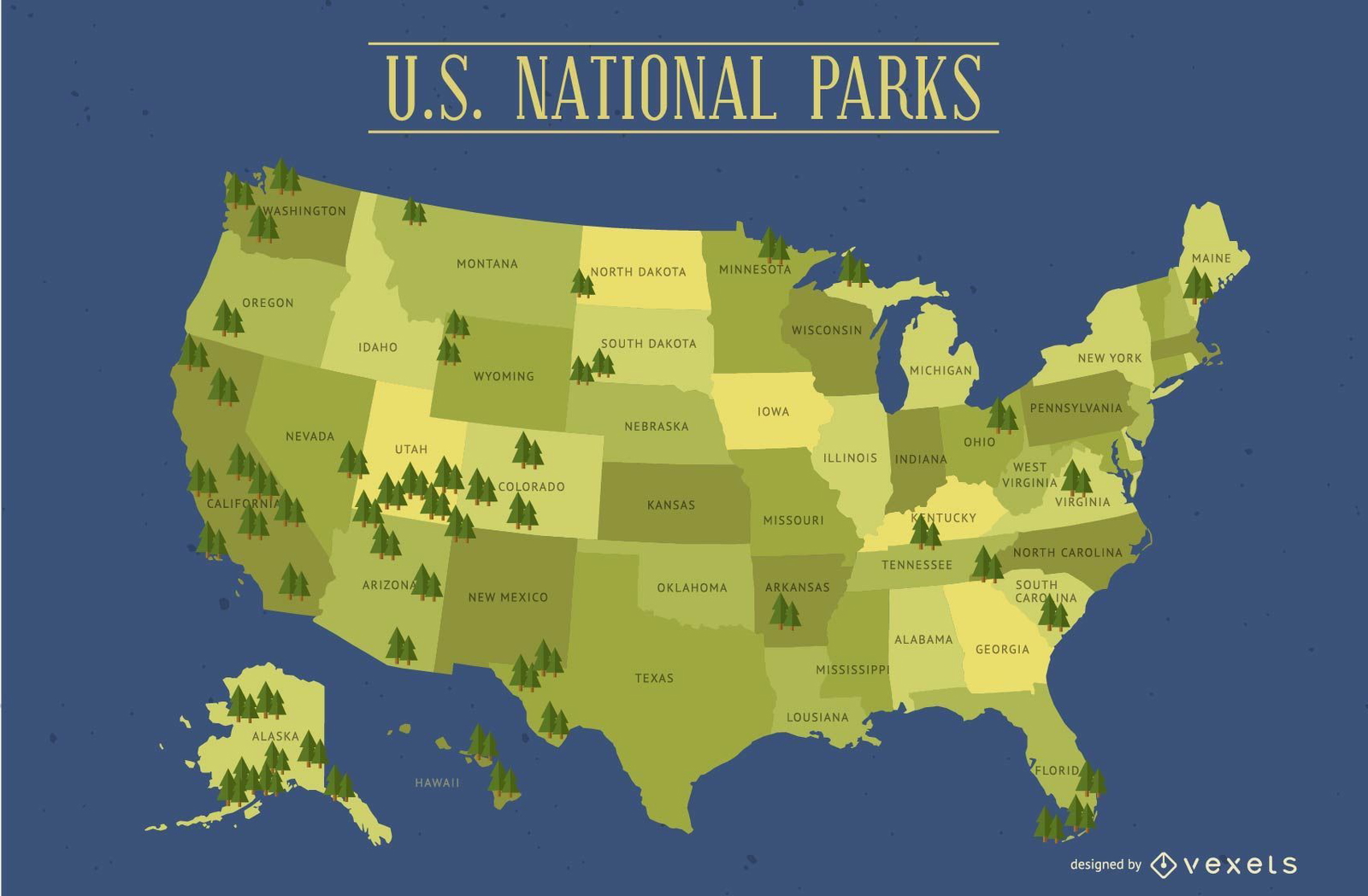
United States National Parks Map
Choose a folder
All favorites
Create new
Save
United States National Parks Map
Premium
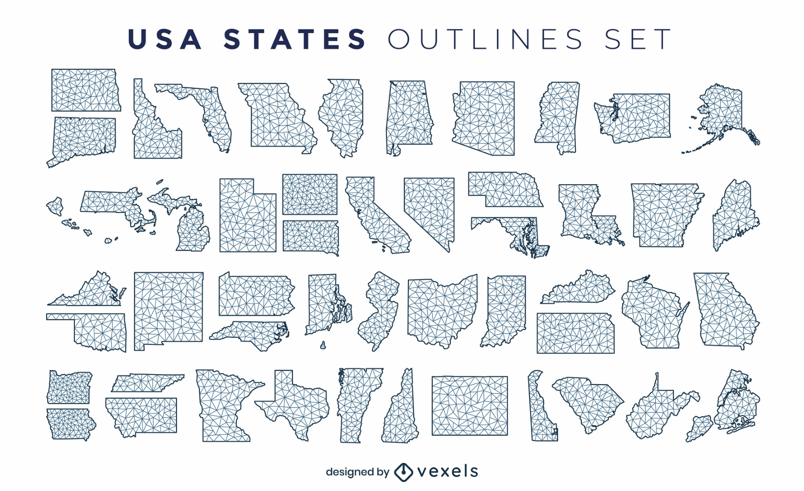
States of the US polygonal silhouettes set
Choose a folder
All favorites
Create new
Save
States of the US polygonal silhouettes set
US map with handwritten states
Choose a folder
All favorites
Create new
Save
US map with handwritten states
Premium
USA states vintage lettering set
Choose a folder
All favorites
Create new
Save
USA states vintage lettering set
Premium
American states retro lettering set
Choose a folder
All favorites
Create new
Save
American states retro lettering set
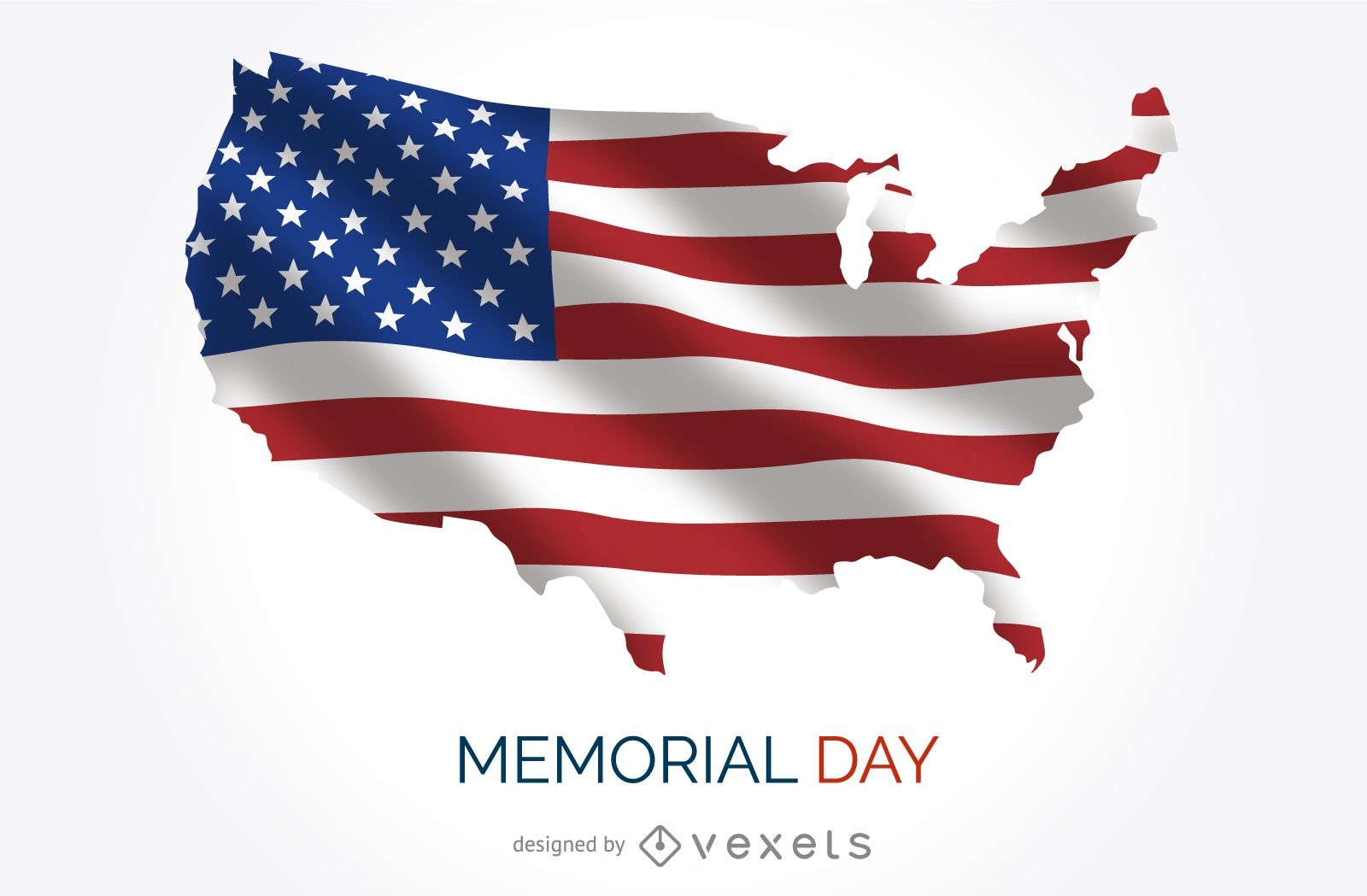
USA Memorial Day poster
Choose a folder
All favorites
Create new
Save
USA Memorial Day poster
Print ready
USA States Map Design
Choose a folder
All favorites
Create new
Save
USA States Map Design
Premium
USA States lettering set
Choose a folder
All favorites
Create new
Save
USA States lettering set
Premium
USA holidays illustration design
Choose a folder
All favorites
Create new
Save
USA holidays illustration design
Print ready
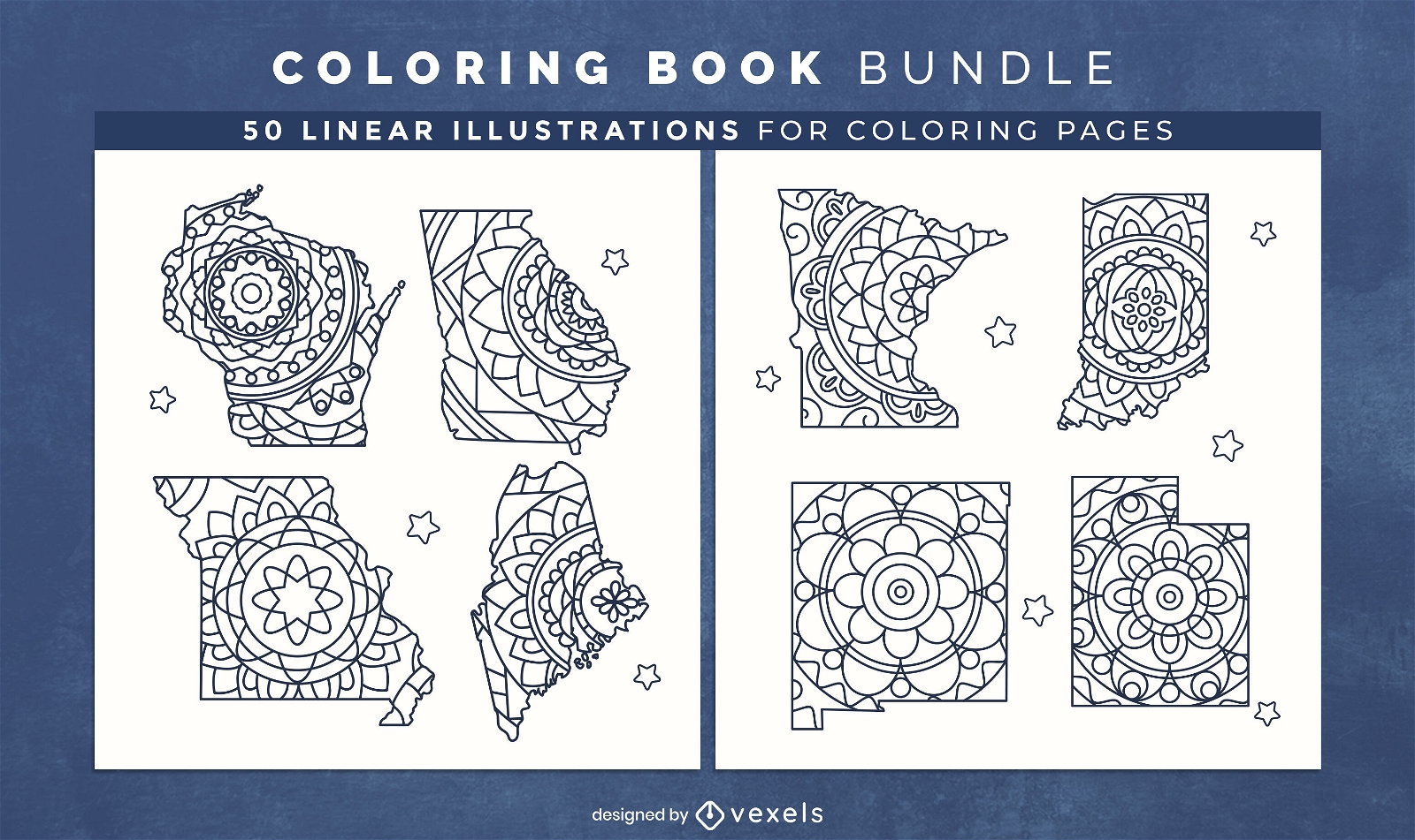
Mandala USA states coloring book design pages
Choose a folder
All favorites
Create new
Save
Mandala USA states coloring book design pages
Premium
Usa state names retro lettering set
Choose a folder
All favorites
Create new
Save
Usa state names retro lettering set
Premium
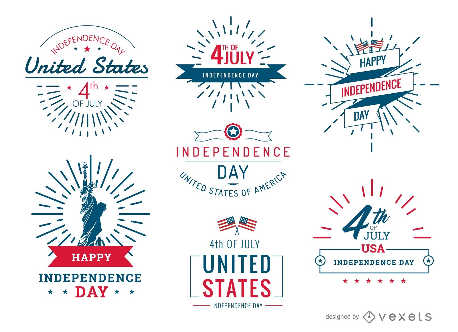
4th of July United Stated badges and labels set
Choose a folder
All favorites
Create new
Save
4th of July United Stated badges and labels set
Boost Your Business
With The Leading Graphic Platform For Merch.
SEE PLANS
Next
of 29
prev page
next page