Design Library
New Merch Designs
T-Shirts
Vectors
Trending Merch Designs
PNGs & SVGs
Mockups
T-Shirt PSD Templates
Explore Designs
KDP Designs
Posters
Mugs
Phone Cases
Tote Bags
Pillows
Design Tools
Merch Designer
New!
Mockup Generator
AI Design Generator
Image Vectorizer
Quote Generator
T-Shirt Maker (Old)
Resources
Merch Digest
Blog
Help Center
Learn About Merch
Feedback
Corporate Solutions
Enterprise
API Access
Design Studio
Bulk Design Production
Pricing
Loading...
Sign Up
Login
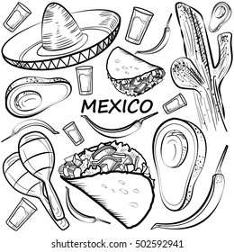
Merch Vectors
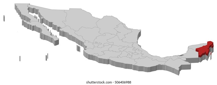
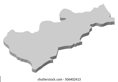
estados
Design Library
New Merch Designs
T-Shirts
Vectors
Trending Merch Designs
PNGs & SVGs
Mockups
T-Shirt PSD Templates
Explore Designs
KDP Designs
Posters
Mugs
Phone Cases
Tote Bags
Pillows
Design Tools
Merch Designer
New!
Mockup Generator
AI Design Generator
Image Vectorizer
Quote Generator
T-Shirt Maker (Old)
Resources
Merch Digest
Blog
Help Center
Learn About Merch
Feedback
Corporate Solutions
Enterprise
API Access
Design Studio
Bulk Design Production
PLANS
Merch Vectors
estados
1449 estados Vector Designs for T-Shirts and merch
Download & buy editable estados AI Vector Graphics Designs for T shirts, Phone Cases, Book Covers and other Merch
Sort by
Most relevant
Sponsored results by
Get 15% off with code: VEXELS15
Show more
Editable text
Print ready
for Merch
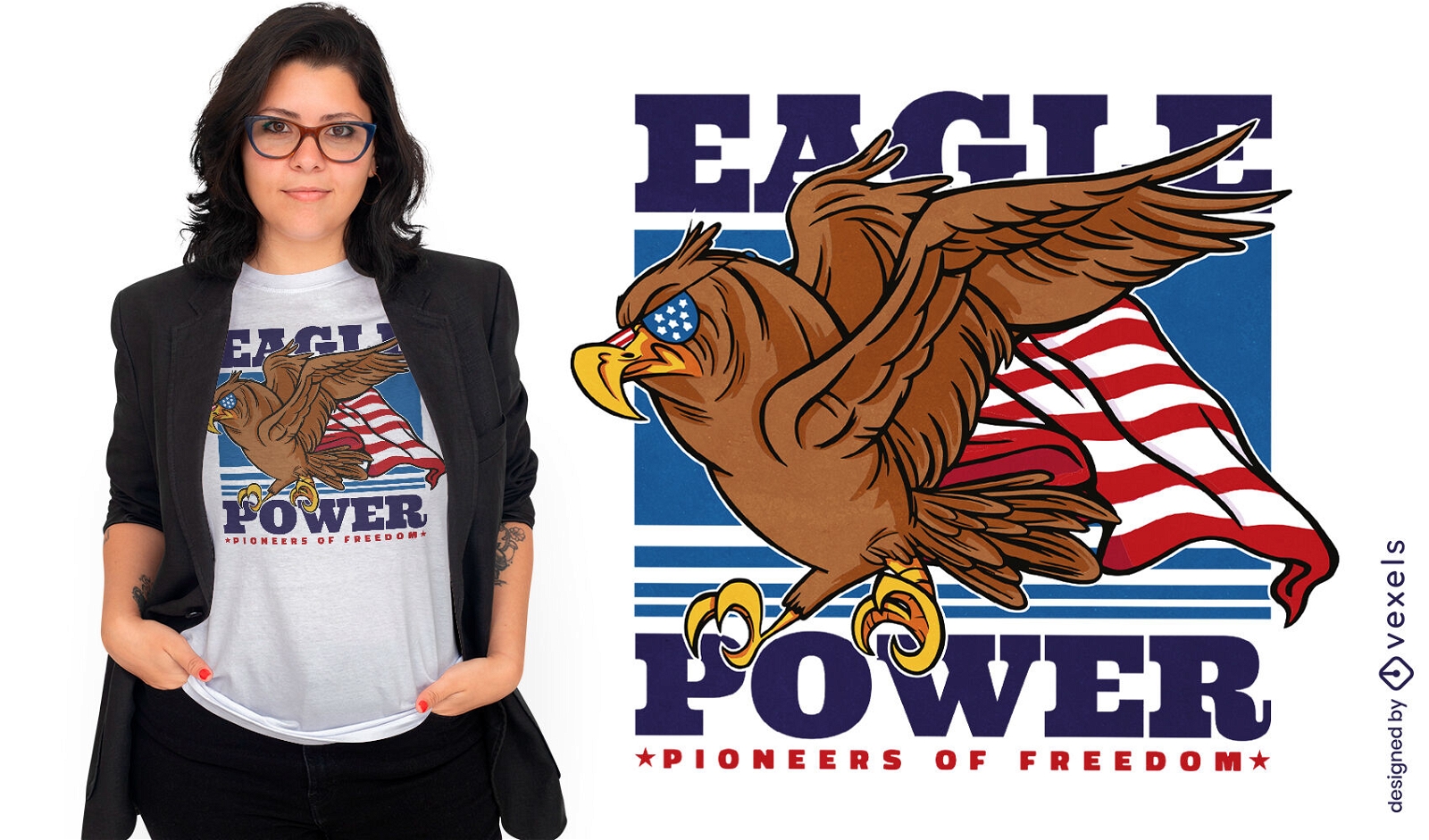
American eagle power t-shirt design
Choose a folder
All favorites
Create new
Save
American eagle power t-shirt design
Print ready
for Merch
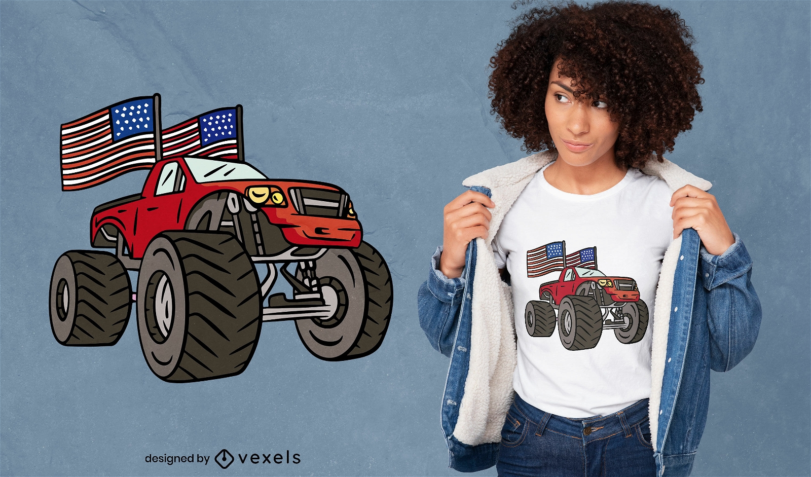
Great American truck t-shirt design
Choose a folder
All favorites
Create new
Save
Great American truck t-shirt design
Print ready
for Merch
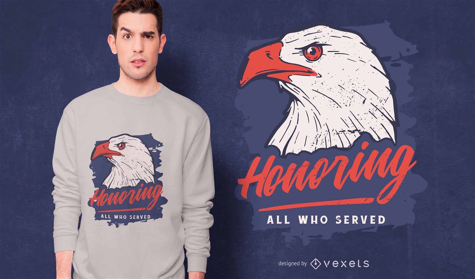
Honoring all who served t-shirt
Choose a folder
All favorites
Create new
Save
Honoring all who served t-shirt
for Merch
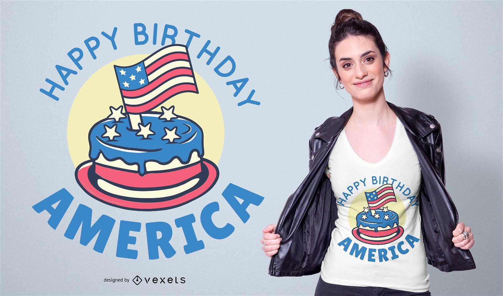
Happy Birthday America T-shirt Design
Choose a folder
All favorites
Create new
Save
Happy Birthday America T-shirt Design
Print ready
for Merch
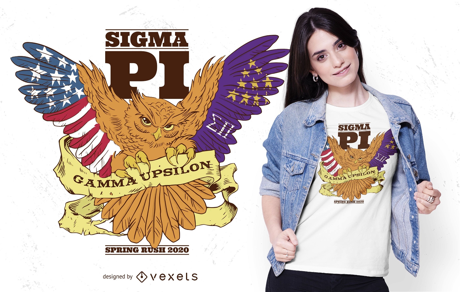
Sigma pi owl t-shirt design
Choose a folder
All favorites
Create new
Save
Sigma pi owl t-shirt design
Print ready
for Merch
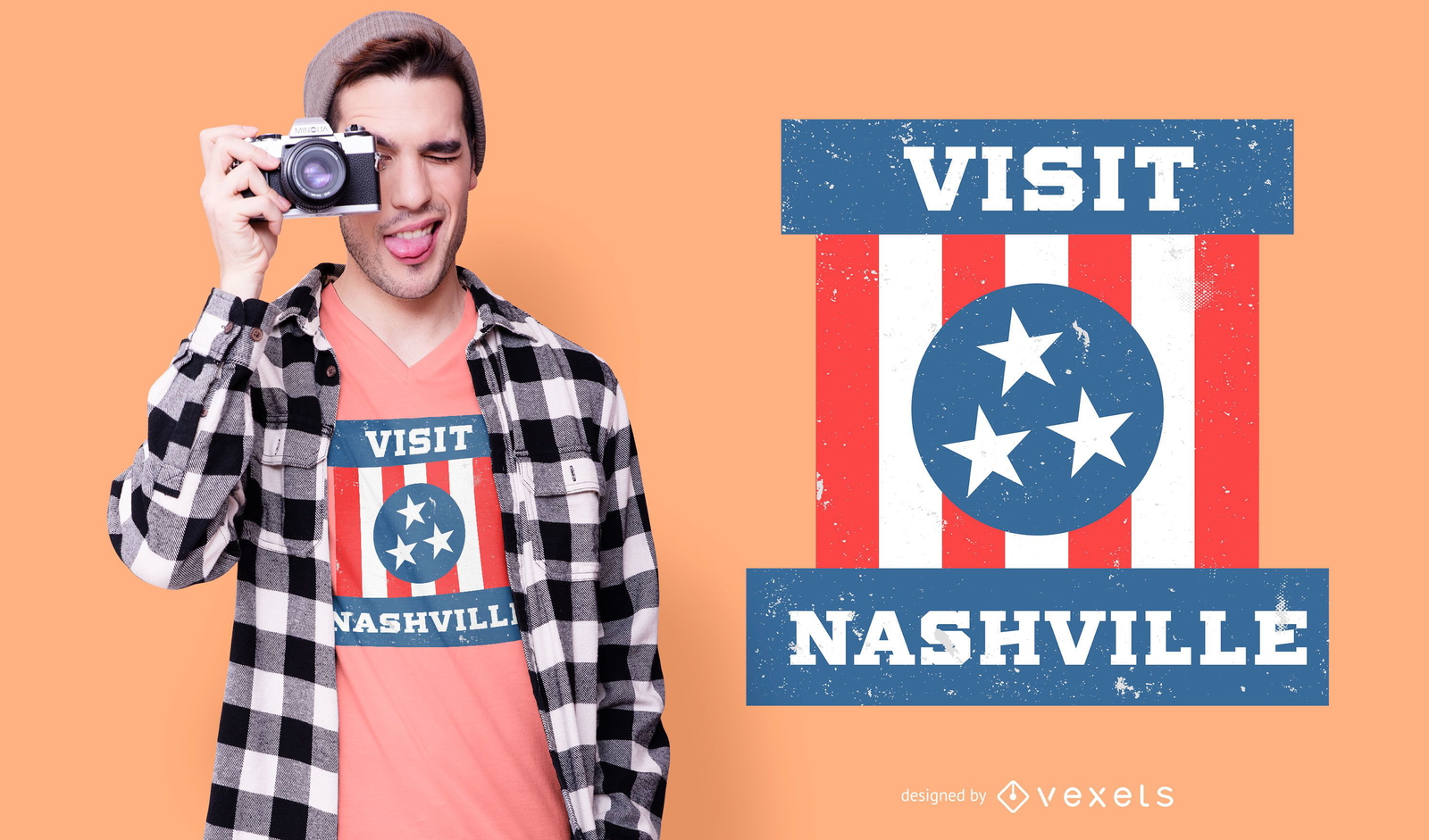
Nashville t-shirt design
Choose a folder
All favorites
Create new
Save
Nashville t-shirt design
Editable text
Print ready
for Merch
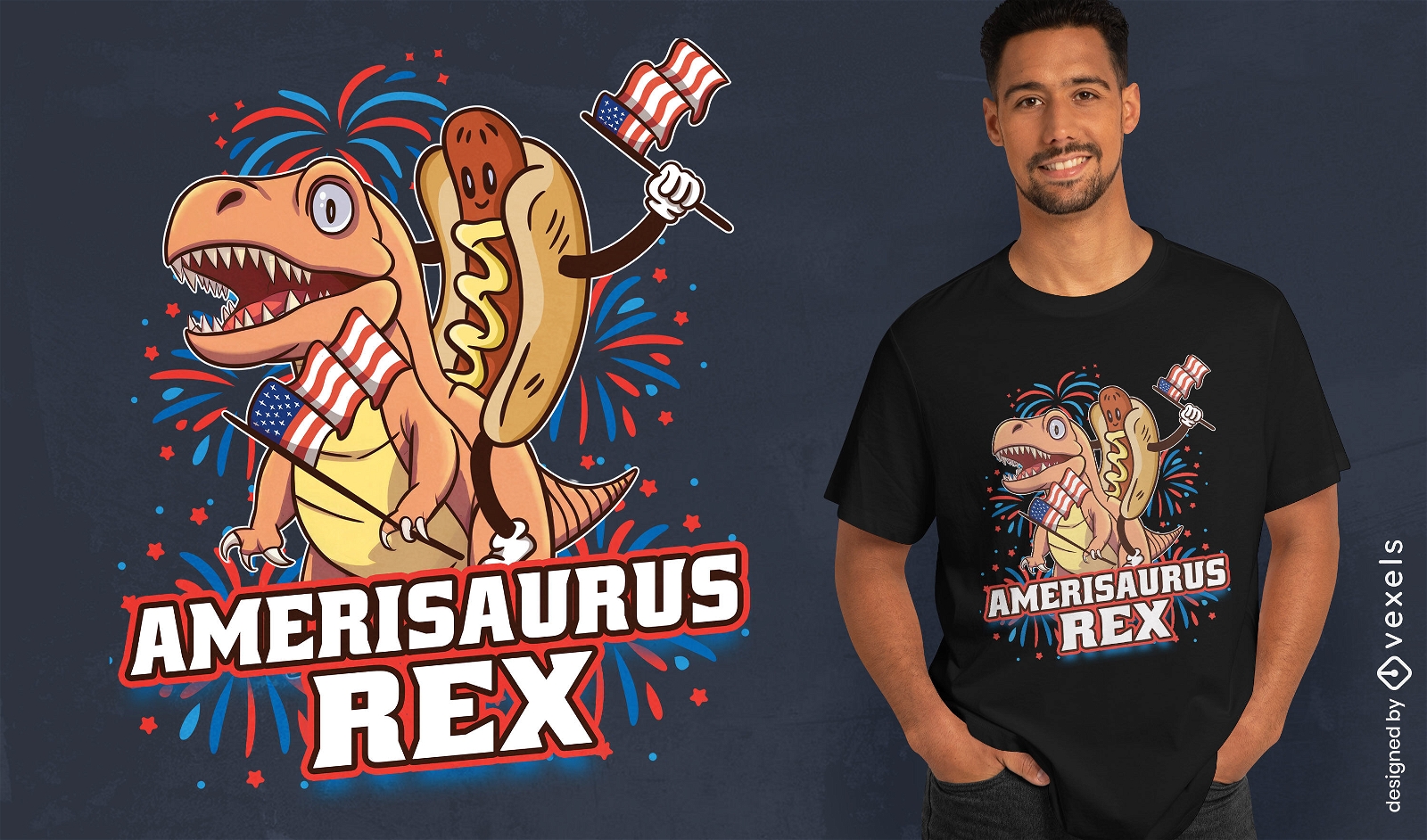
Amerisaurs rex t-shirt design
Choose a folder
All favorites
Create new
Save
Amerisaurs rex t-shirt design
Print ready
for Merch
Veterans day vintage badge tote bag design
Choose a folder
All favorites
Create new
Save
Veterans day vintage badge tote bag design
Print ready
for Merch
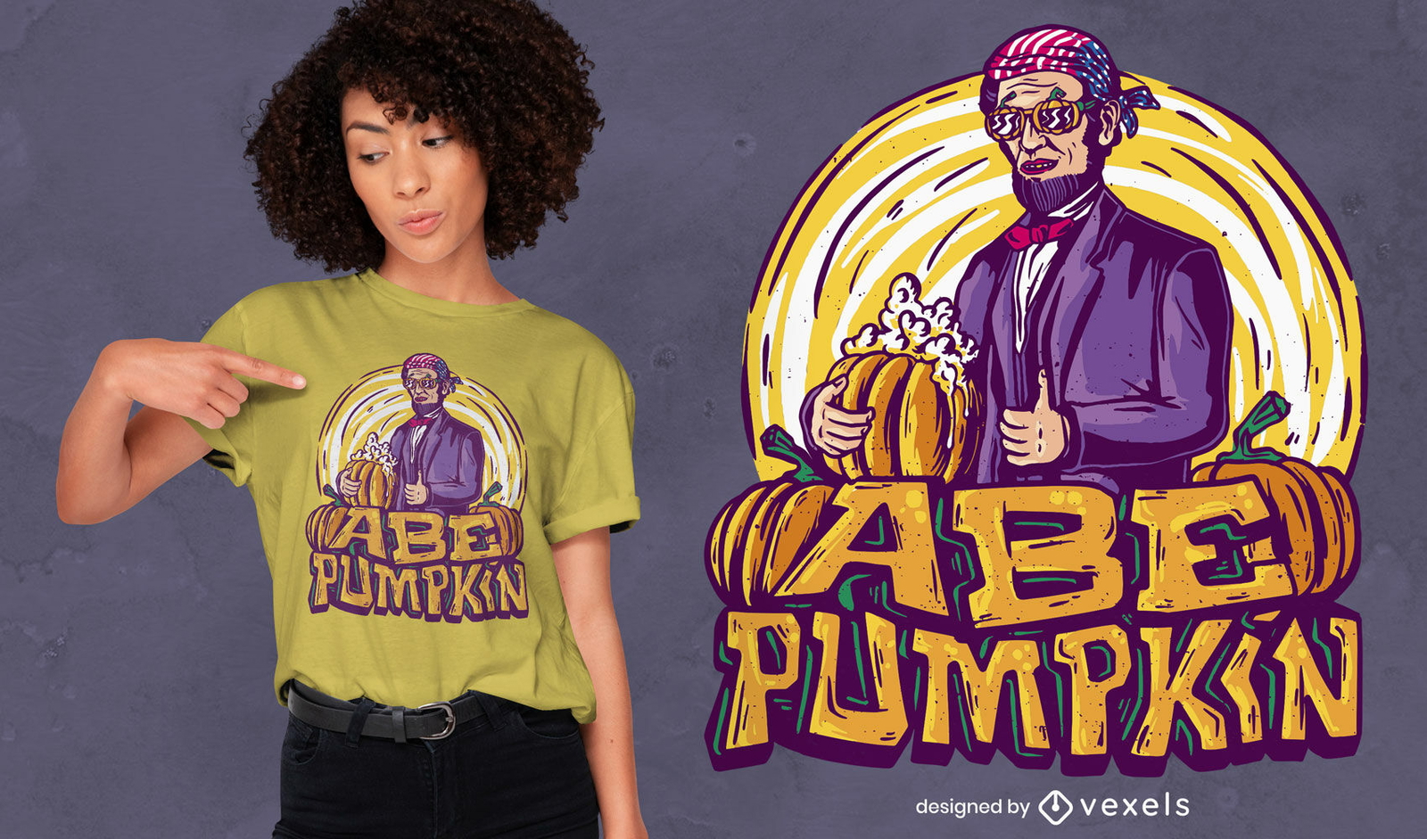
Halloween Lincoln pumpkin t-shirt design
Choose a folder
All favorites
Create new
Save
Halloween Lincoln pumpkin t-shirt design
Print ready
for Merch
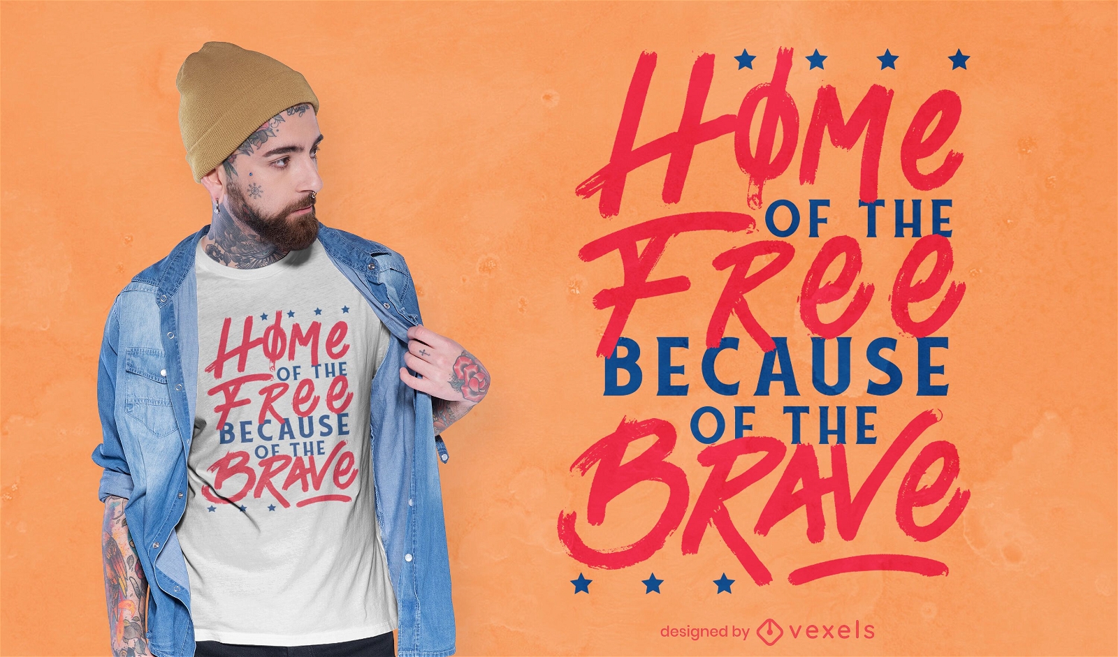
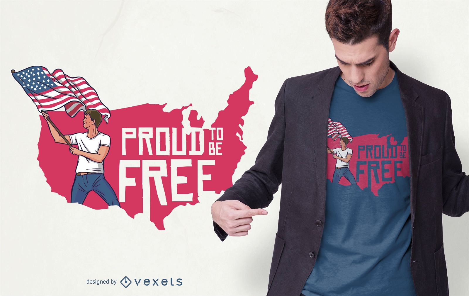
Free and brave usa quote t-shirt design
Choose a folder
All favorites
Create new
Save
Free and brave usa quote t-shirt design
Print ready
for Merch
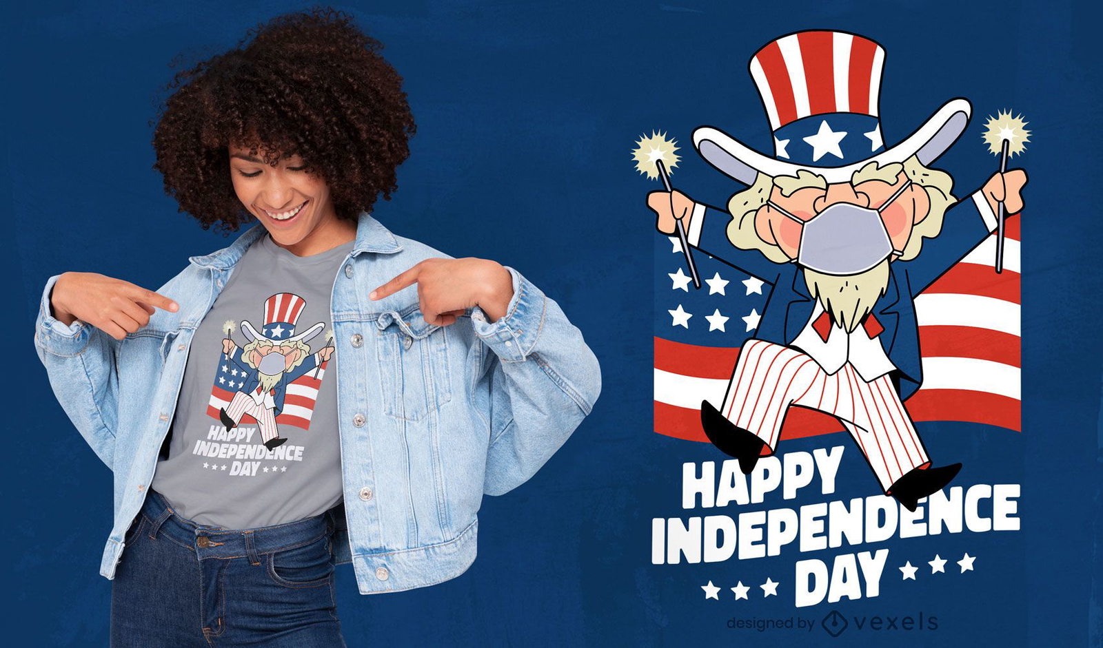
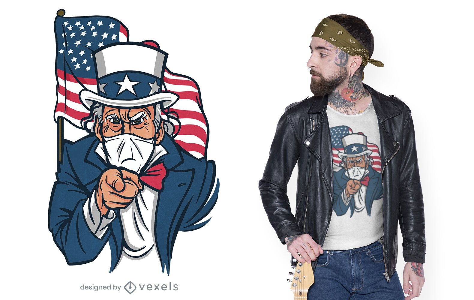
Uncle Sam with face mask t-shirt design
Choose a folder
All favorites
Create new
Save
Uncle Sam with face mask t-shirt design
Print ready
for Merch
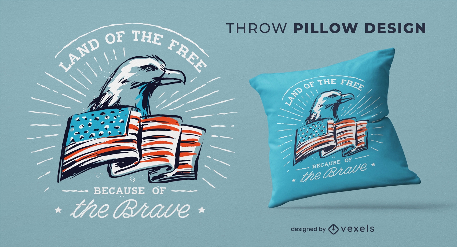
Independence day throw pillow design
Choose a folder
All favorites
Create new
Save
Independence day throw pillow design
Editable text
Print ready
for Merch
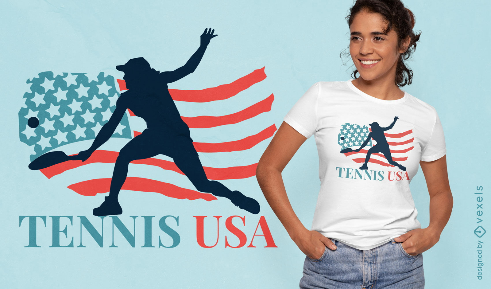
Tennis USA t-shirt design
Choose a folder
All favorites
Create new
Save
Tennis USA t-shirt design
Print ready
for Merch
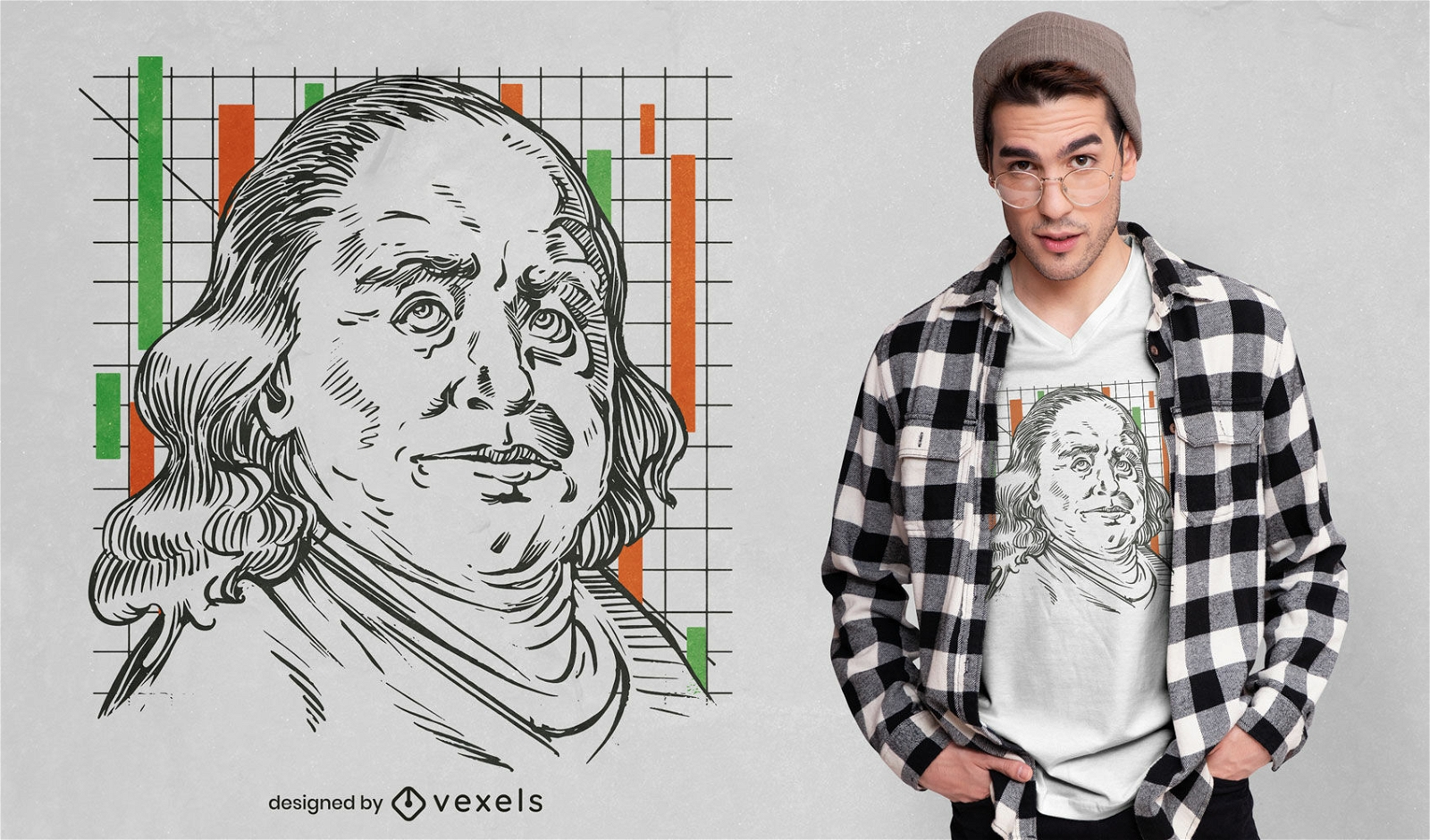
Benjamin Fankling portrait t-shirt design
Choose a folder
All favorites
Create new
Save
Benjamin Fankling portrait t-shirt design
for Merch
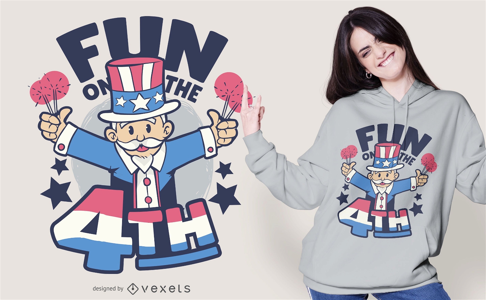
Fun on the 4th July T-shirt Design
Choose a folder
All favorites
Create new
Save
Fun on the 4th July T-shirt Design
Print ready
for Merch
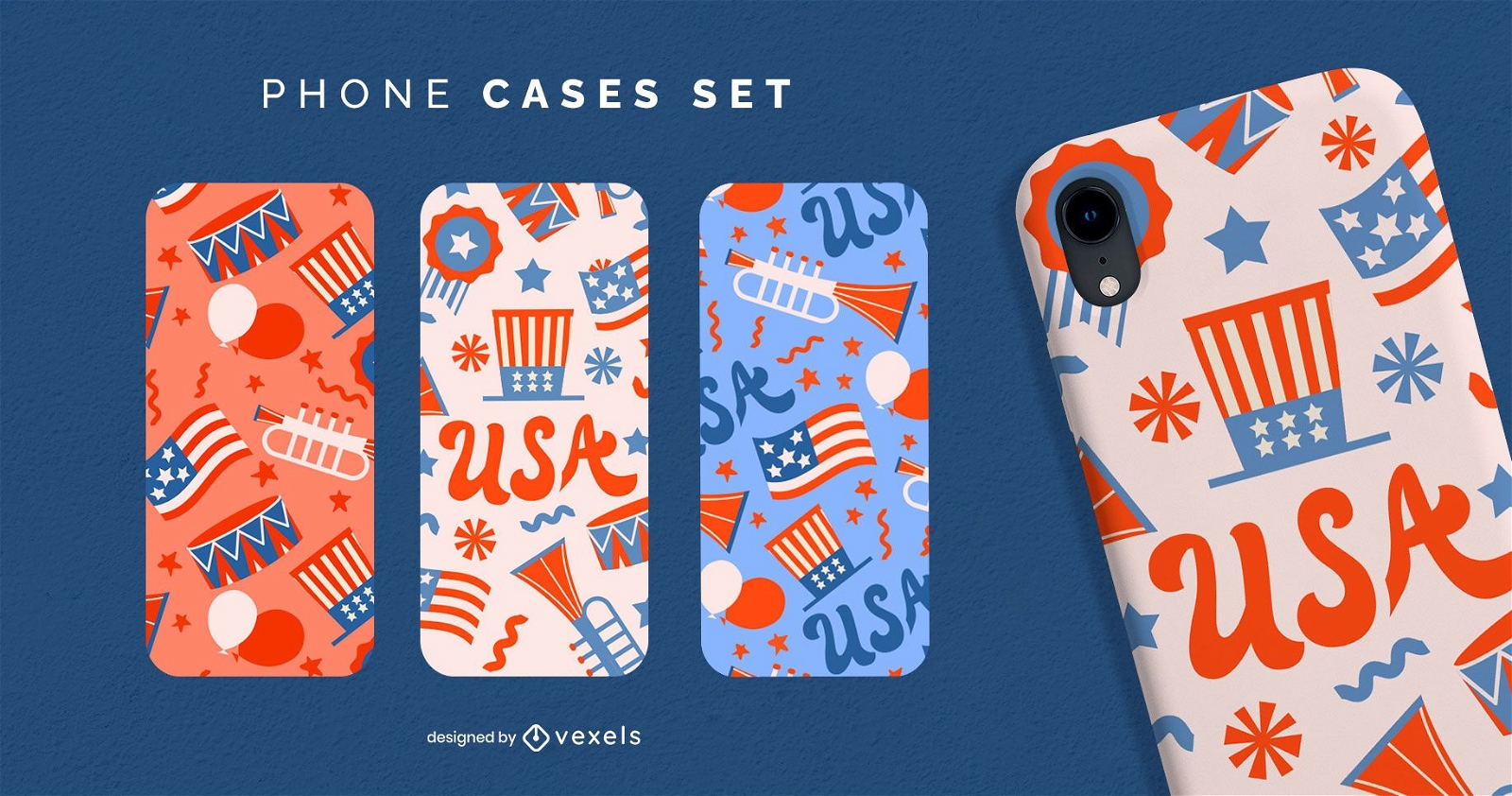
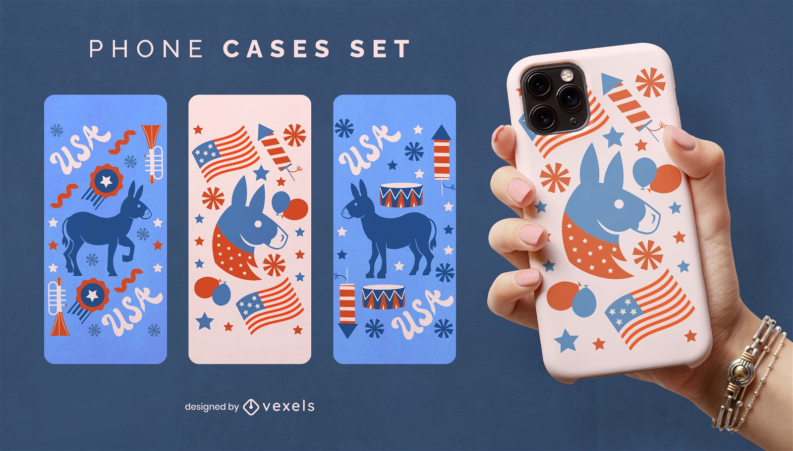
Independence day phone case set
Choose a folder
All favorites
Create new
Save
Independence day phone case set
Print ready
for Merch
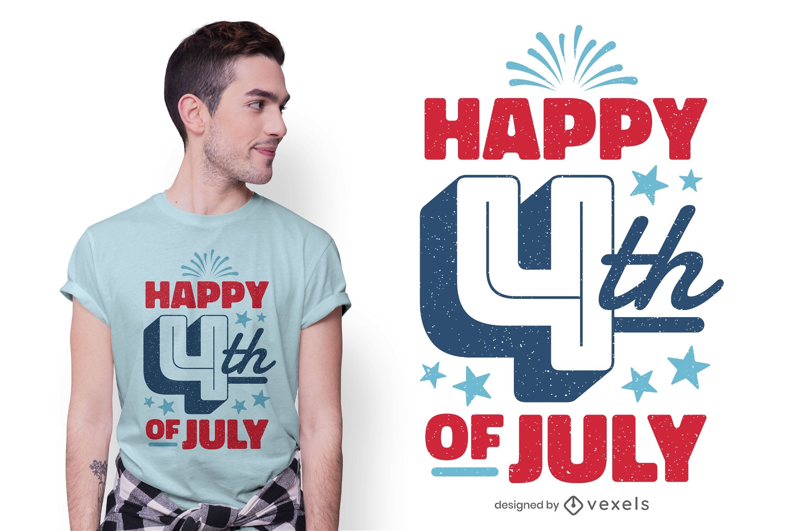
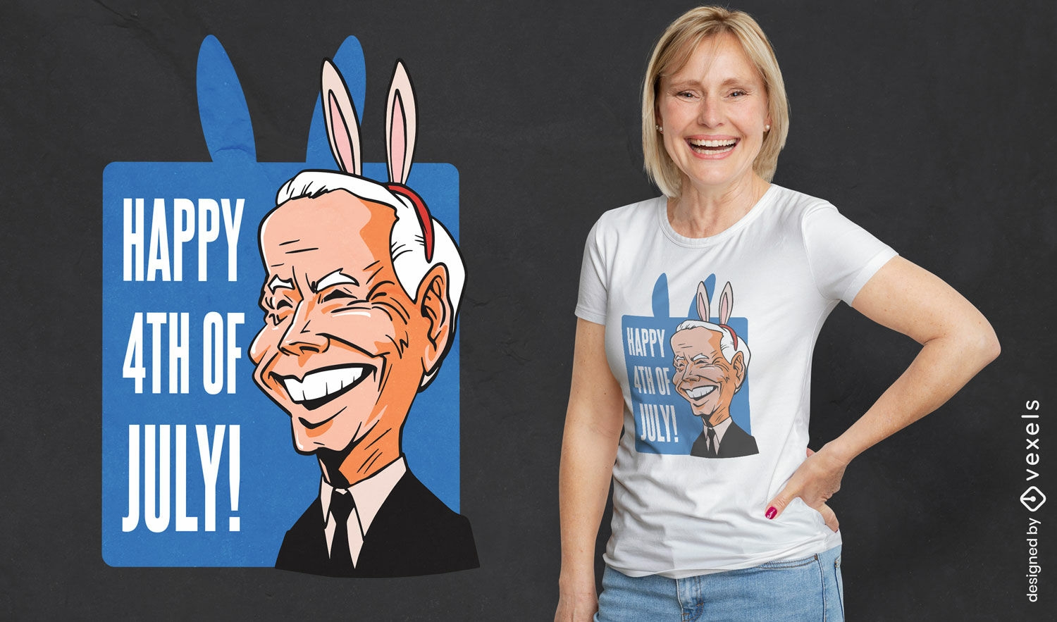
Happy 4th of july t-shirt design
Choose a folder
All favorites
Create new
Save
Happy 4th of july t-shirt design
Editable text
Print ready
for Merch
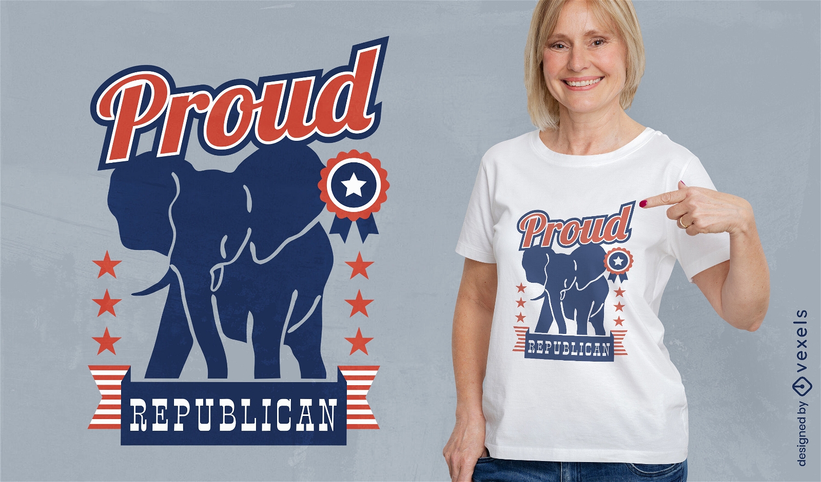
Republican elephant t-shirt design
Choose a folder
All favorites
Create new
Save
Republican elephant t-shirt design
Editable text
Print ready
for Merch
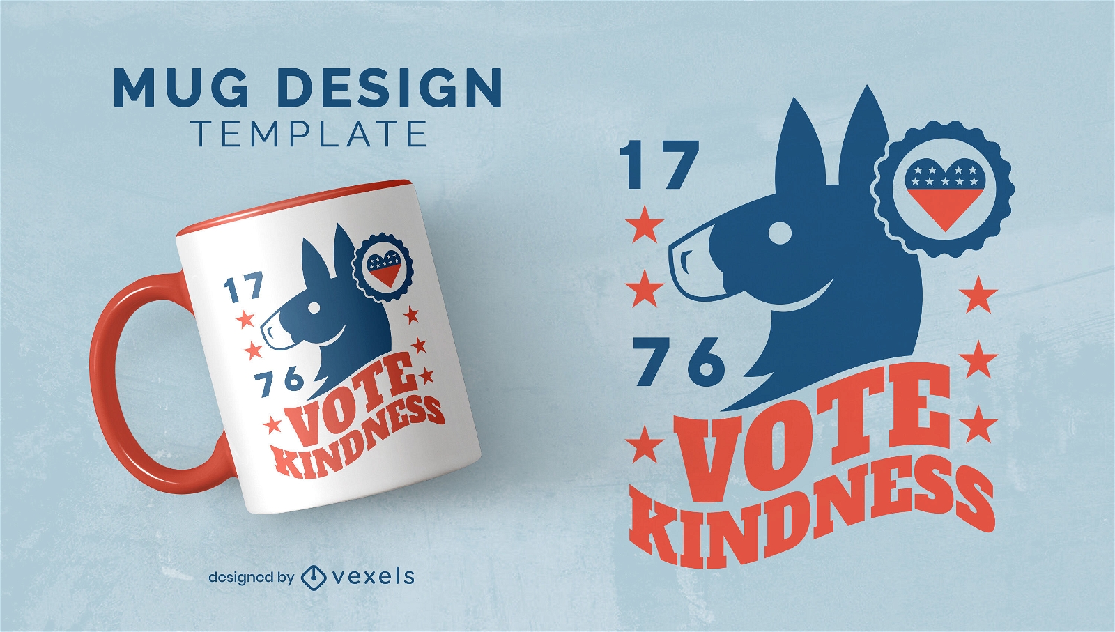
Vote kindness democrats mug design
Choose a folder
All favorites
Create new
Save
Vote kindness democrats mug design
Print ready
for Merch
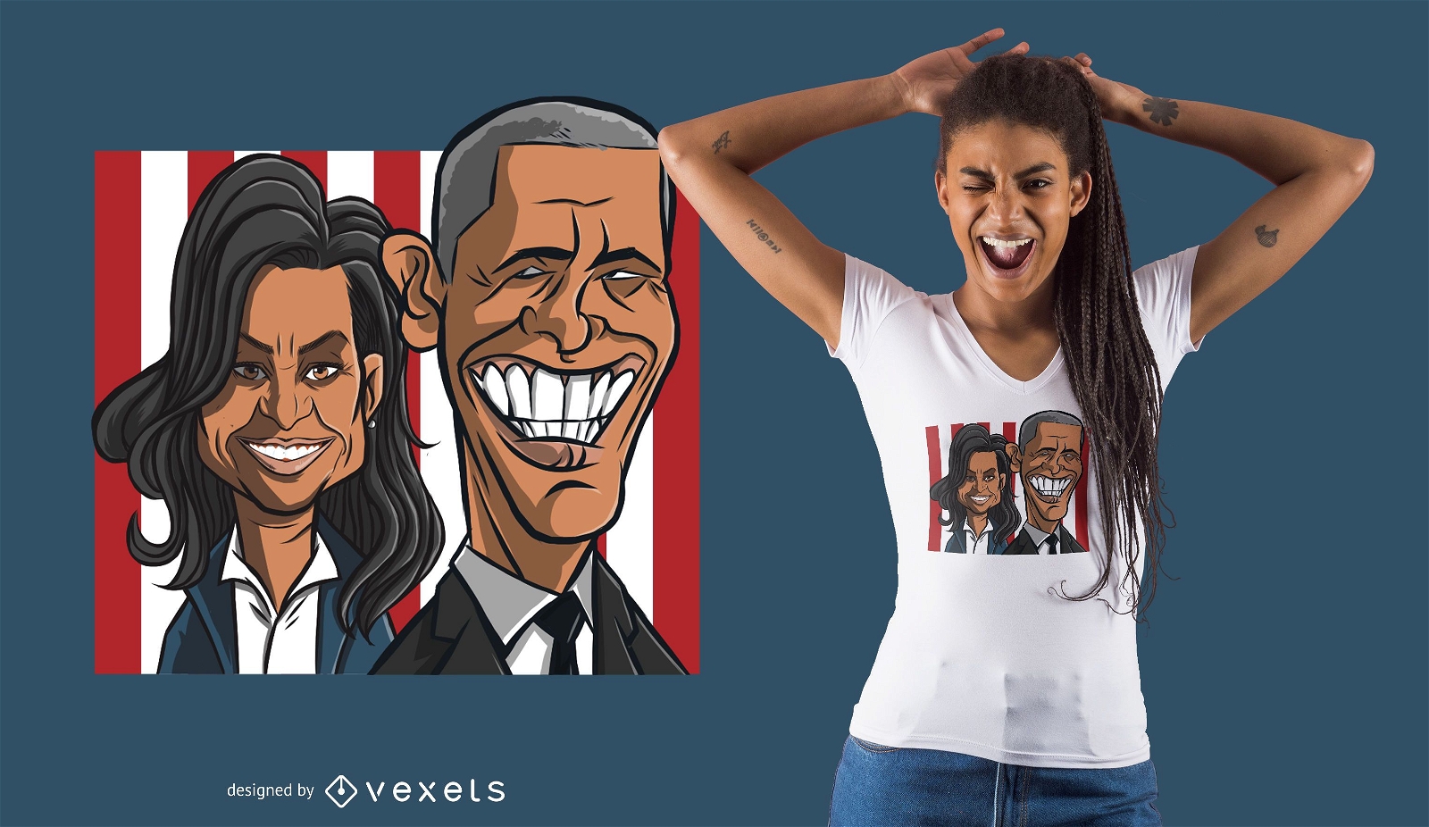
Obama Couple T-shirt Design
Choose a folder
All favorites
Create new
Save
Obama Couple T-shirt Design
Print ready
for Merch
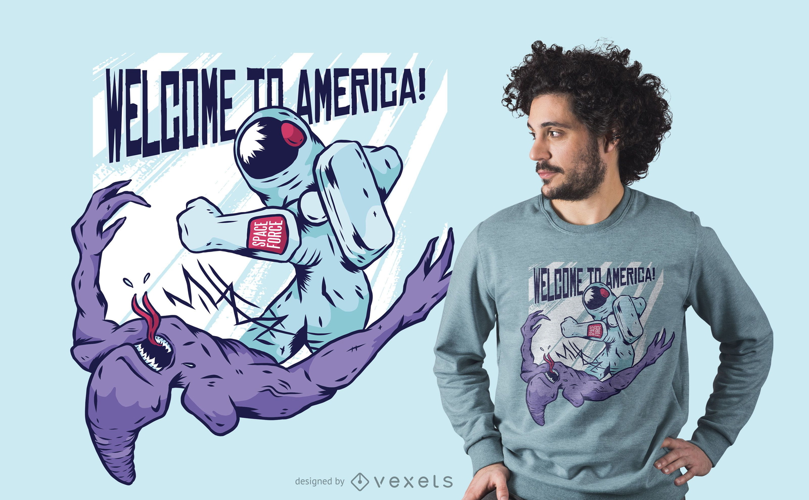
Astronaut punching alien t-shirt design
Choose a folder
All favorites
Create new
Save
Astronaut punching alien t-shirt design
Print ready
for Merch
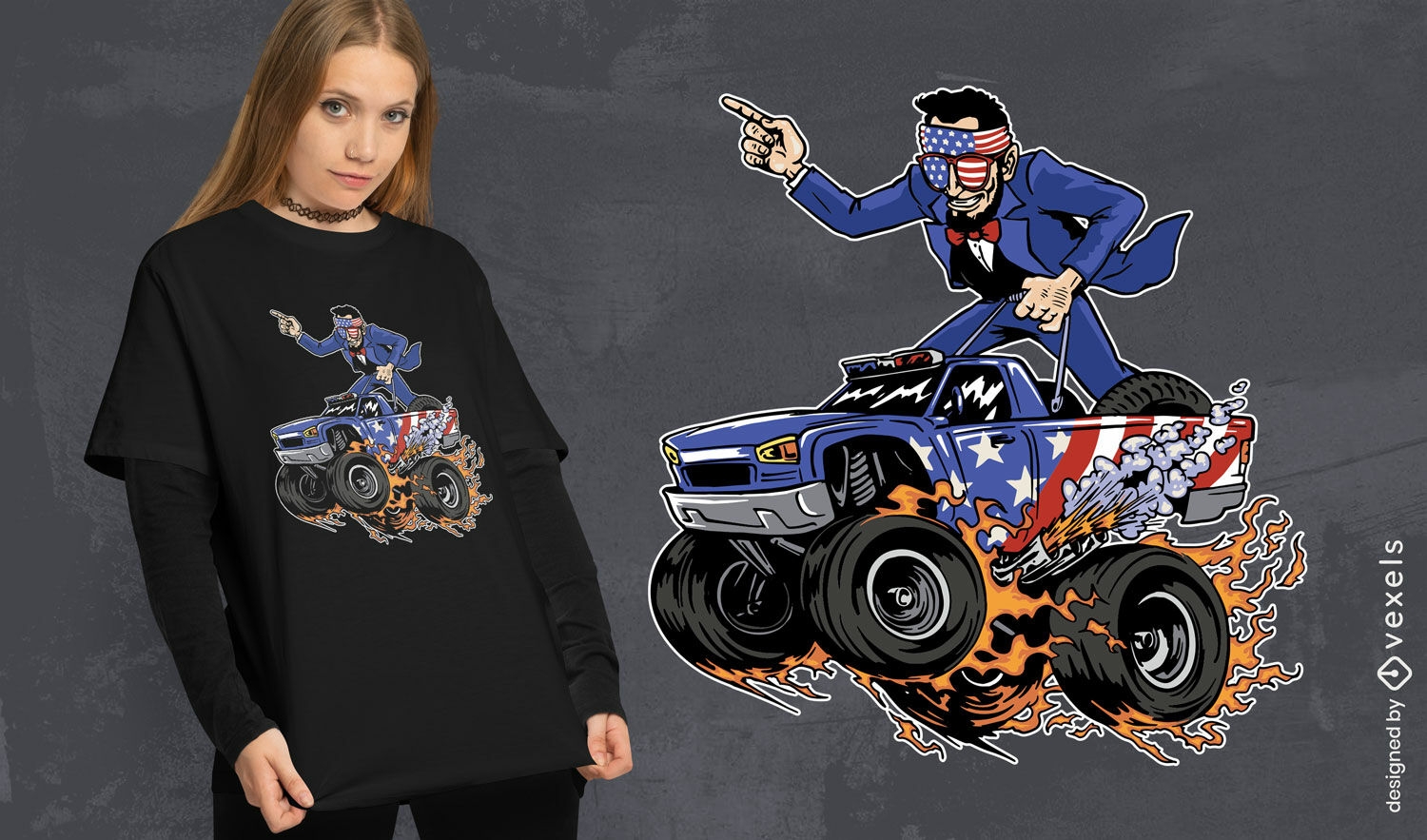
Abraham Liconln on a monster truck t-shirt design
Choose a folder
All favorites
Create new
Save
Abraham Liconln on a monster truck t-shirt design
Print ready
for Merch
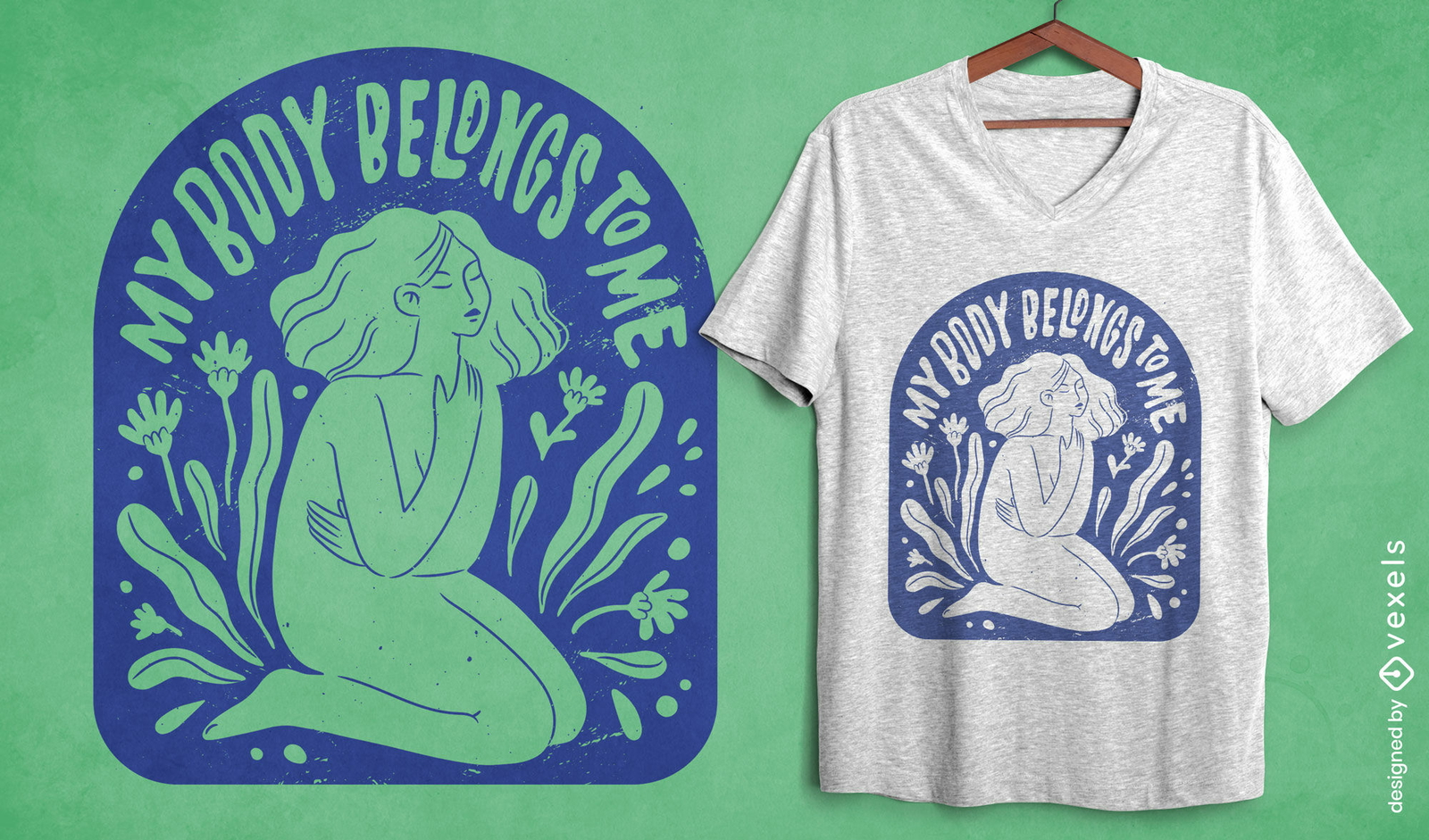
Women's body autonomy t-shirt design
Choose a folder
All favorites
Create new
Save
Women's body autonomy t-shirt design
Print ready
for Merch
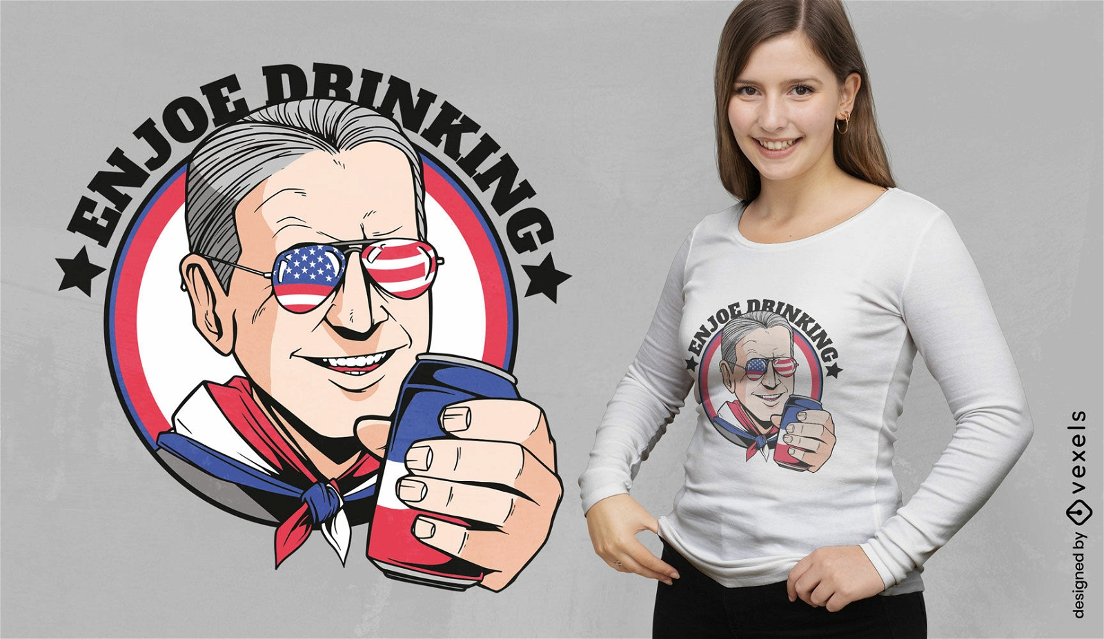
Joe Biden drinking pun t-shirt design
Choose a folder
All favorites
Create new
Save
Joe Biden drinking pun t-shirt design
Print ready
for Merch
America trump t-shirt design
Choose a folder
All favorites
Create new
Save
America trump t-shirt design
Print ready
for Merch
Dayton Skyline T-Shirt Design
Choose a folder
All favorites
Create new
Save
Dayton Skyline T-Shirt Design
Print ready
for Merch
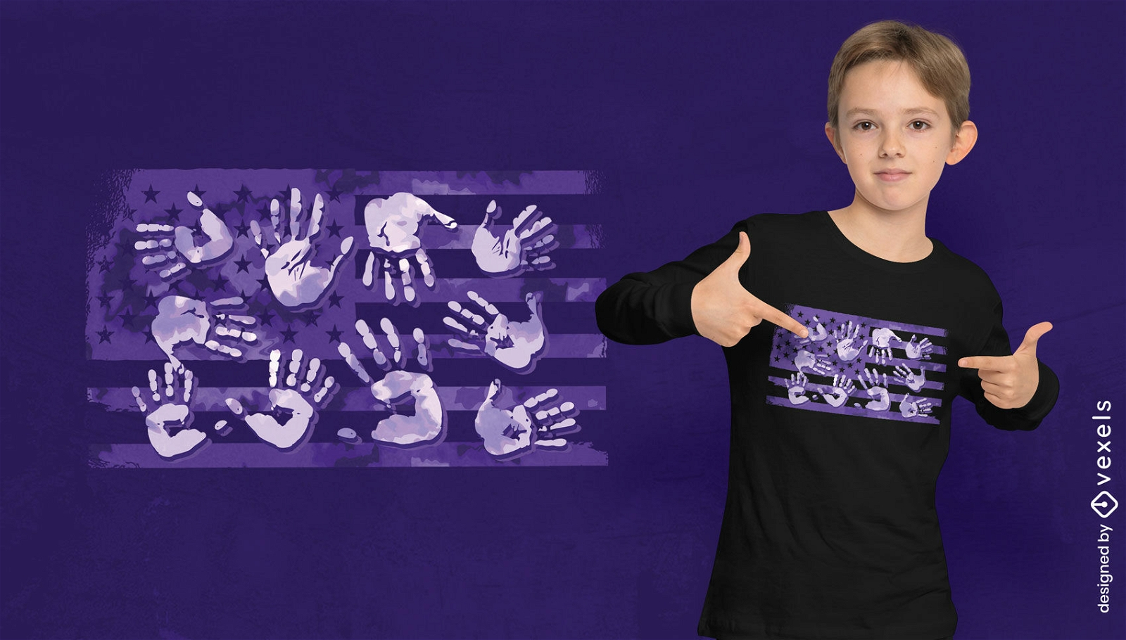
Handprints over american flag t-shirt design
Choose a folder
All favorites
Create new
Save
Handprints over american flag t-shirt design
Print ready
for Merch
American democrat phone case set
Choose a folder
All favorites
Create new
Save
American democrat phone case set
Editable text
Print ready
for Merch
American man with beer t-shirt design
Choose a folder
All favorites
Create new
Save
American man with beer t-shirt design
Print ready
for Merch
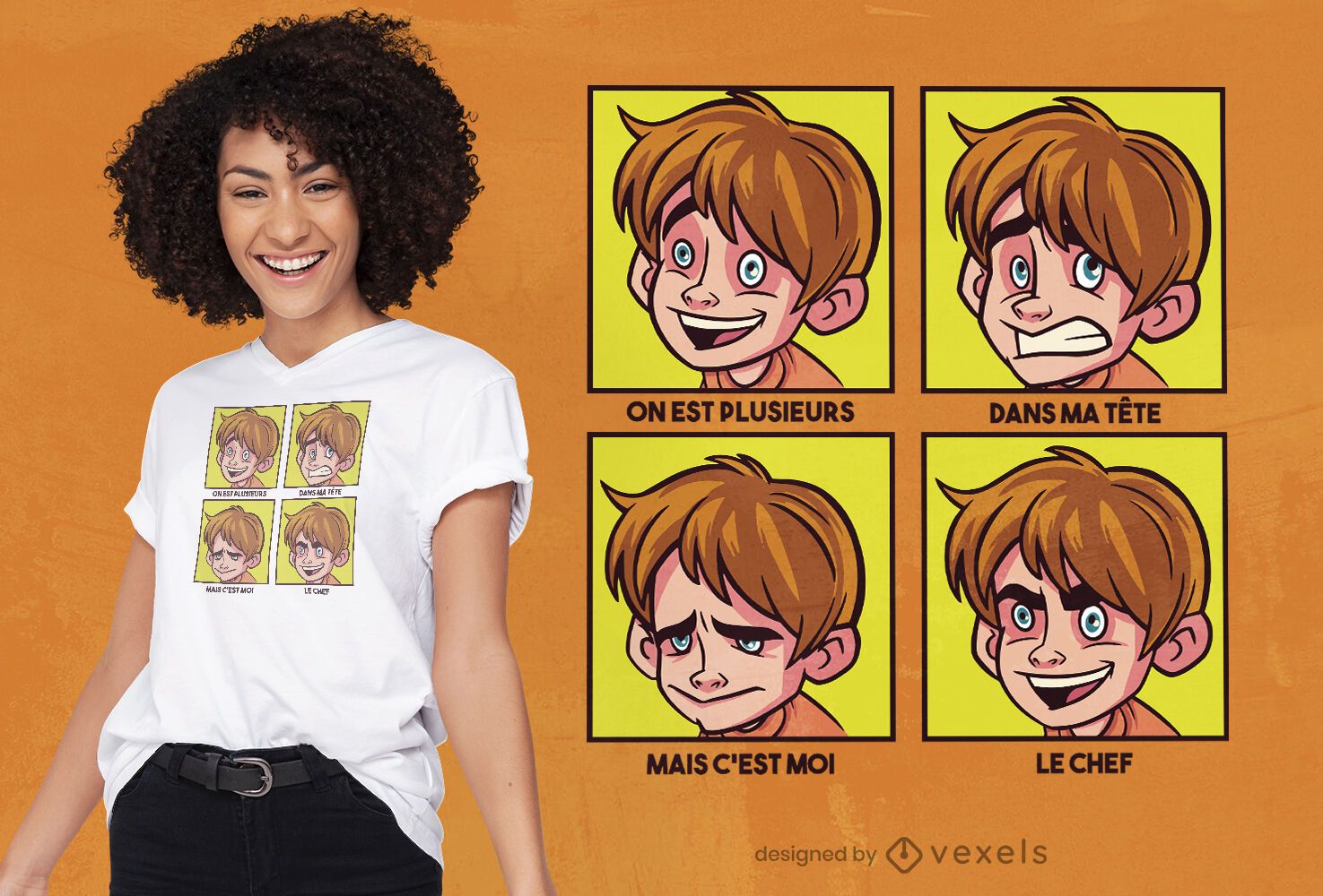
Boy cartoon moodboard t-shirt design
Choose a folder
All favorites
Create new
Save
Boy cartoon moodboard t-shirt design
Print ready
for Merch
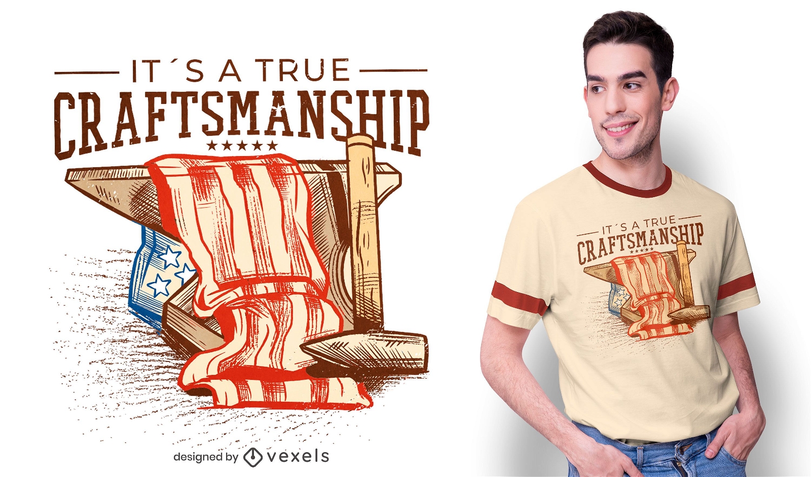
American flag craftsmanship t-shirt design
Choose a folder
All favorites
Create new
Save
American flag craftsmanship t-shirt design
Print ready
for Merch
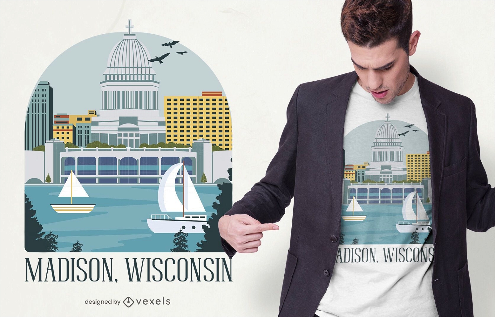
Madison wisconsin t-shirt design
Choose a folder
All favorites
Create new
Save
Madison wisconsin t-shirt design
Print ready
for Merch
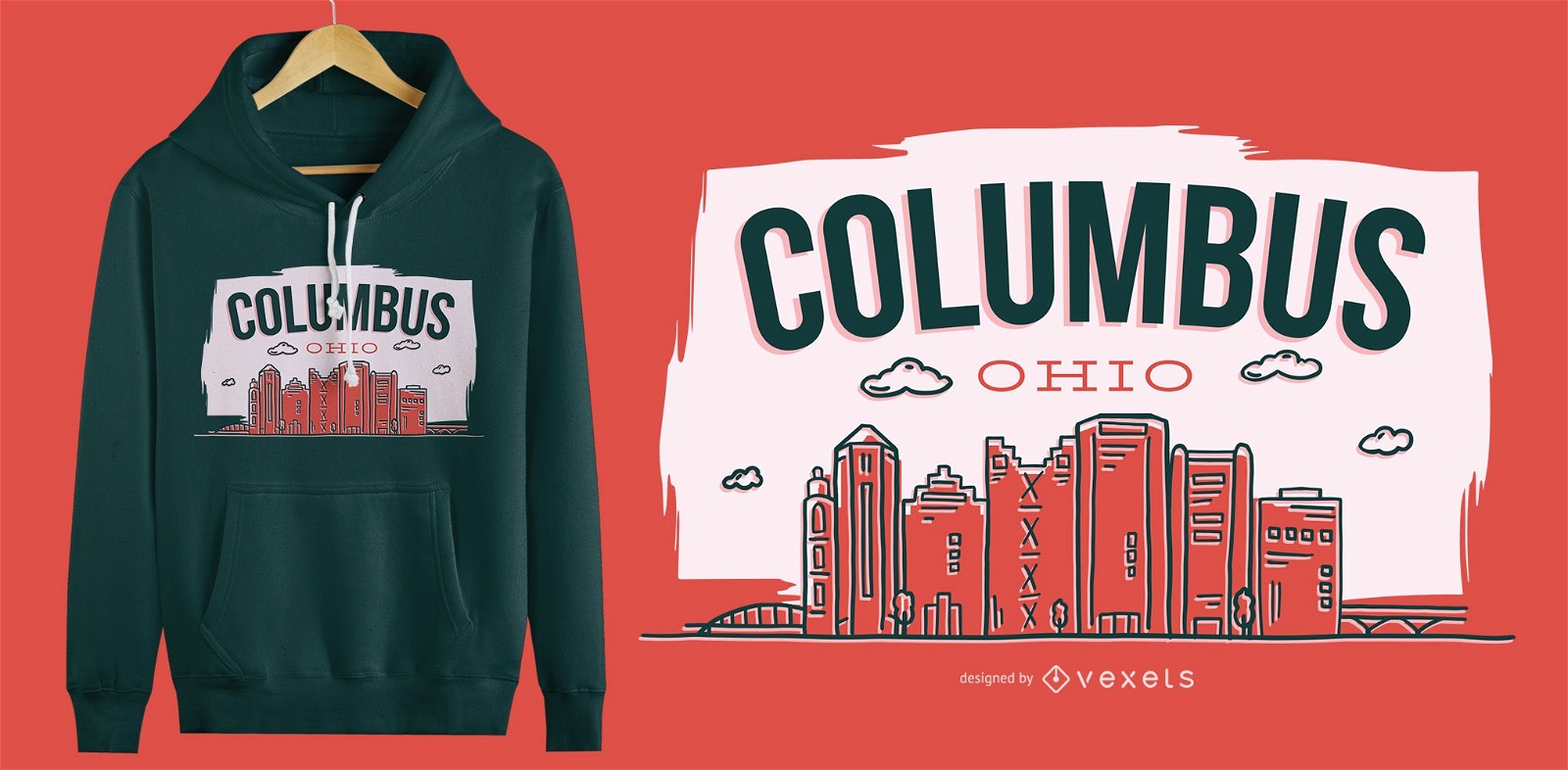
Columbus Ohio T-Shirt Design
Choose a folder
All favorites
Create new
Save
Columbus Ohio T-Shirt Design
Editable text
Print ready
for Merch
4th of July parody cartoon t-shirt design
Choose a folder
All favorites
Create new
Save
4th of July parody cartoon t-shirt design
Editable text
Print ready
for Merch
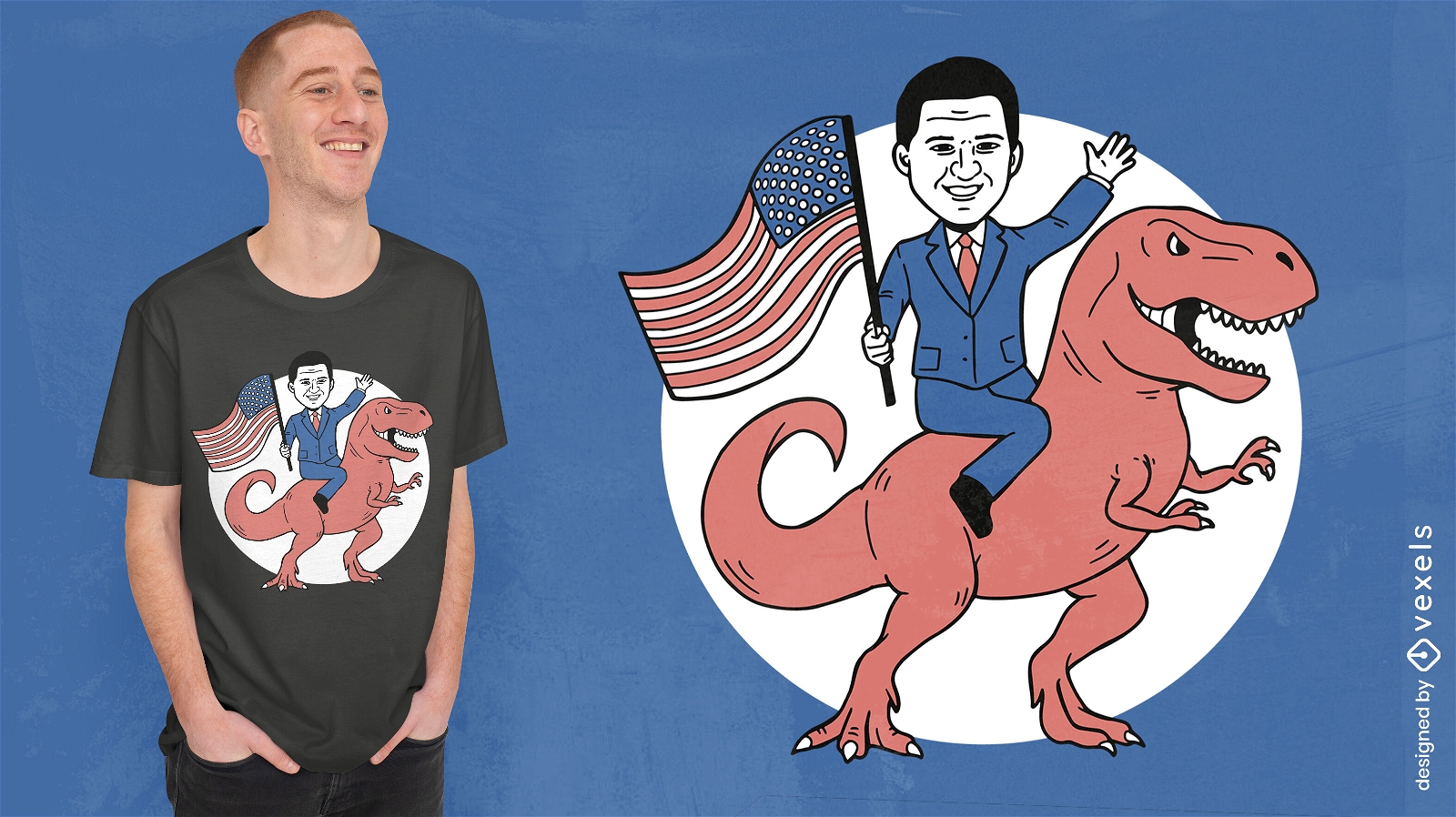
Politician riding dinosaur t-shirt design
Choose a folder
All favorites
Create new
Save
Politician riding dinosaur t-shirt design
Editable text
Print ready
for Merch
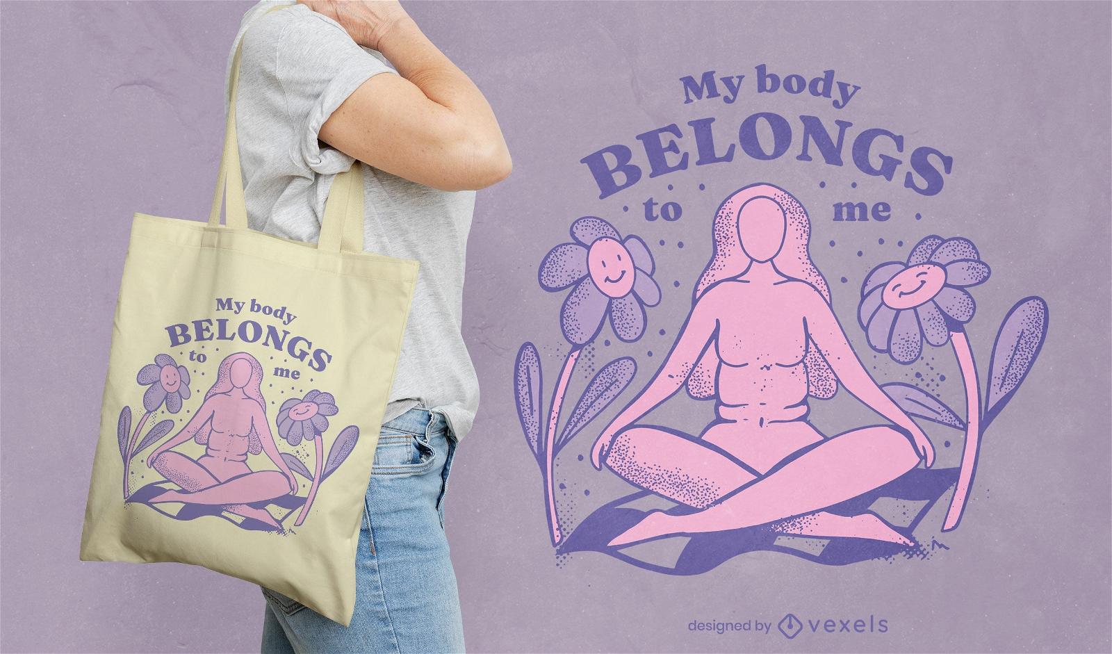
My body belongs to me abortion tote bag design
Choose a folder
All favorites
Create new
Save
My body belongs to me abortion tote bag design
Print ready
for Merch
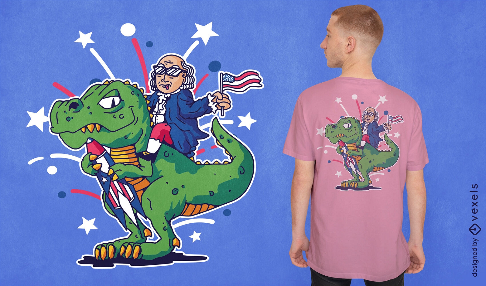
Benjamin Franklin riding t-rex t-shirt design
Choose a folder
All favorites
Create new
Save
Benjamin Franklin riding t-rex t-shirt design
Print ready
for Merch
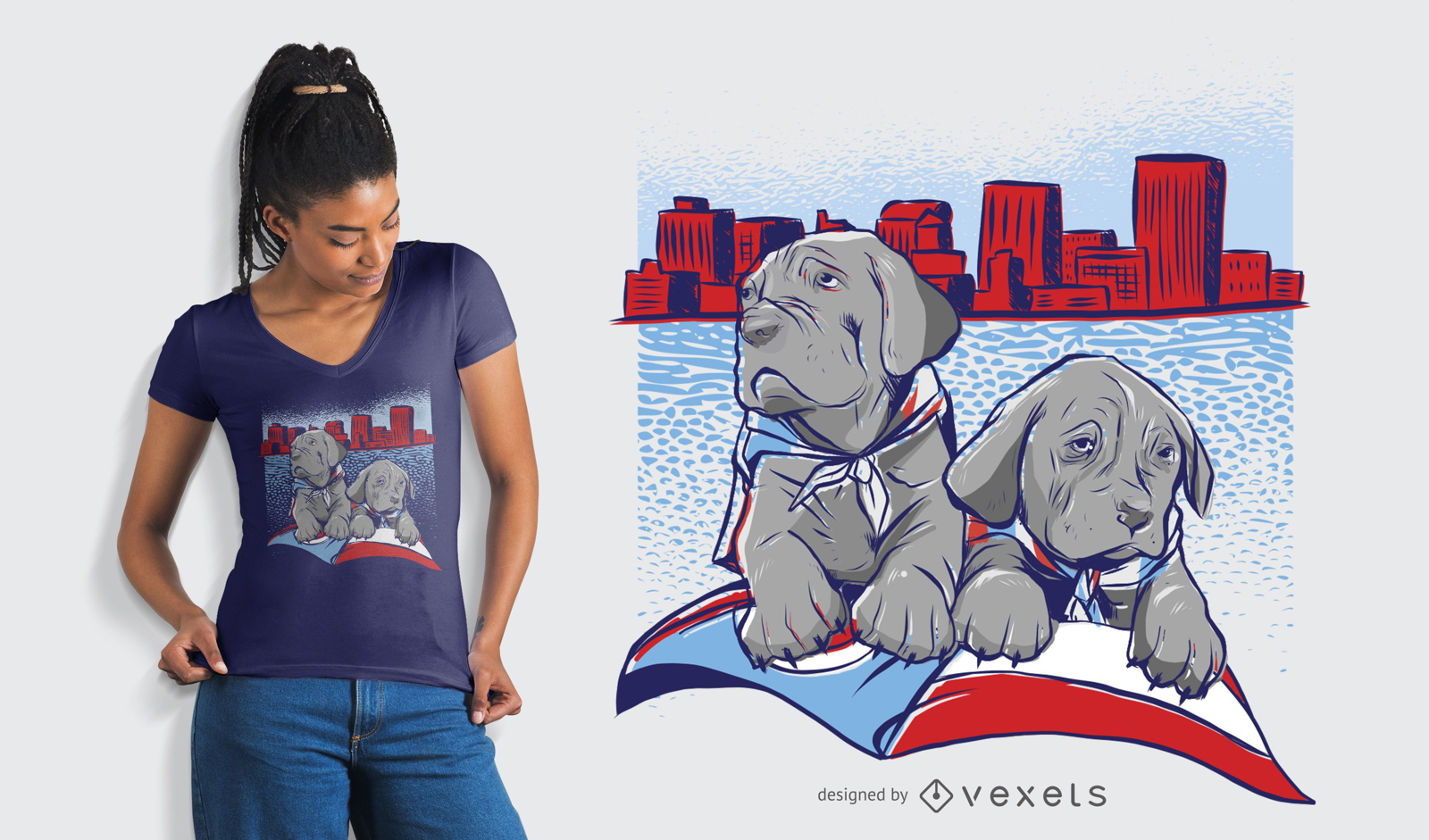
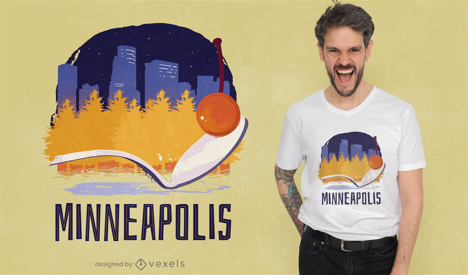
Minneapolis skyline t-shirt design
Choose a folder
All favorites
Create new
Save
Minneapolis skyline t-shirt design
Print ready
for Merch
Uncle sam face mask t-shirt design
Choose a folder
All favorites
Create new
Save
Uncle sam face mask t-shirt design
Print ready
for Merch
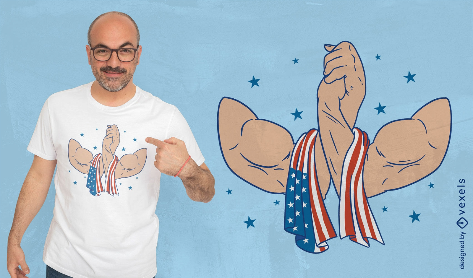
USA muscular handshake t-shirt design
Choose a folder
All favorites
Create new
Save
USA muscular handshake t-shirt design
Editable text
Print ready
for Merch
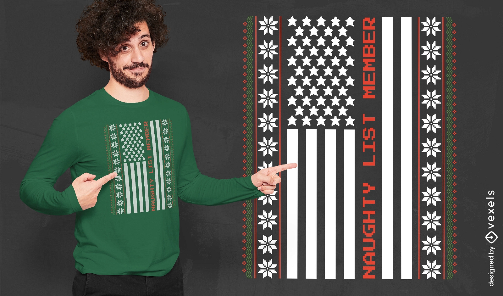
Naughty Christmas USA flag t-shirt design
Choose a folder
All favorites
Create new
Save
Naughty Christmas USA flag t-shirt design
Print ready
for Merch
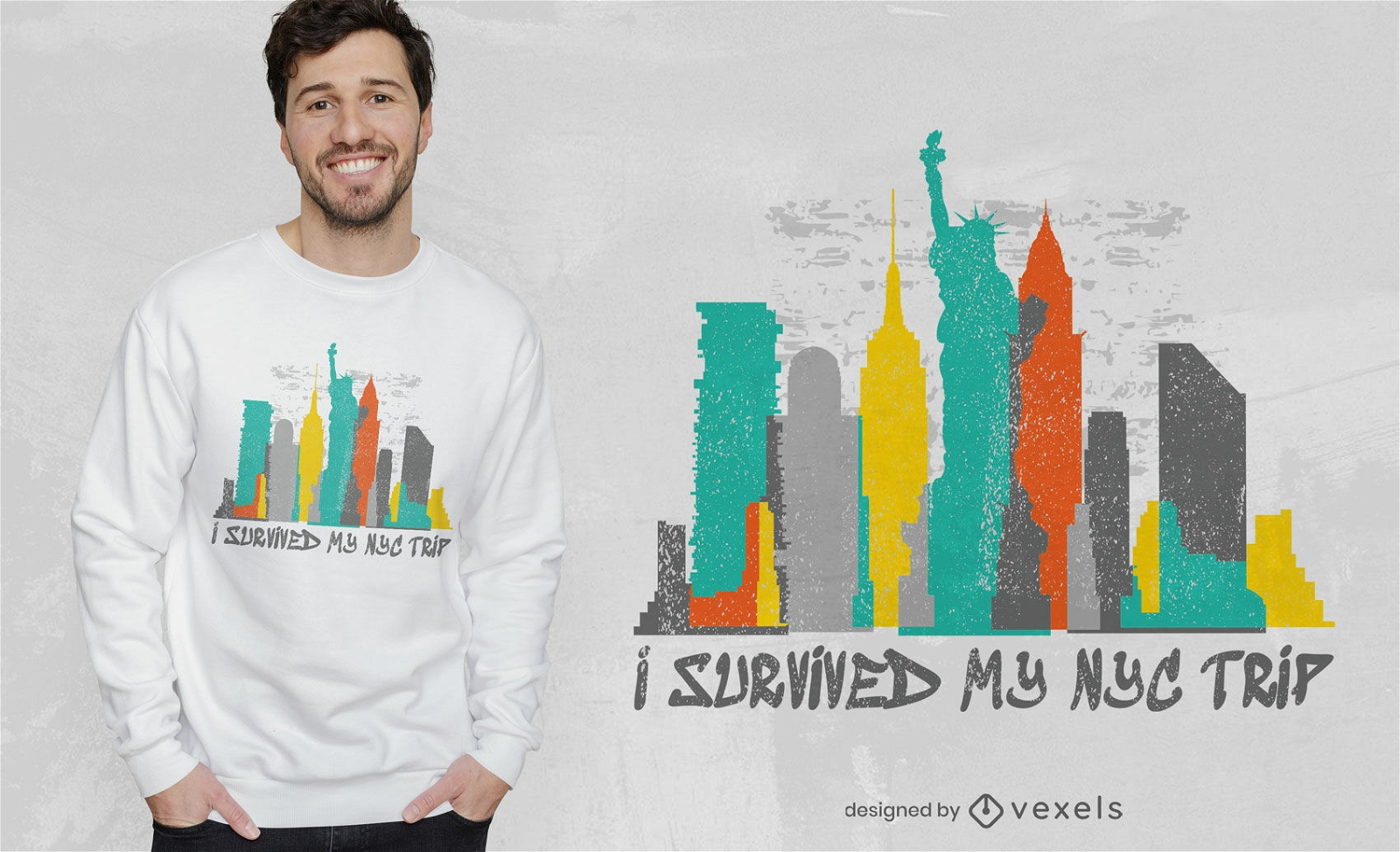
Survived my NYC trip t-shirt design
Choose a folder
All favorites
Create new
Save
Survived my NYC trip t-shirt design
Print ready
for Merch
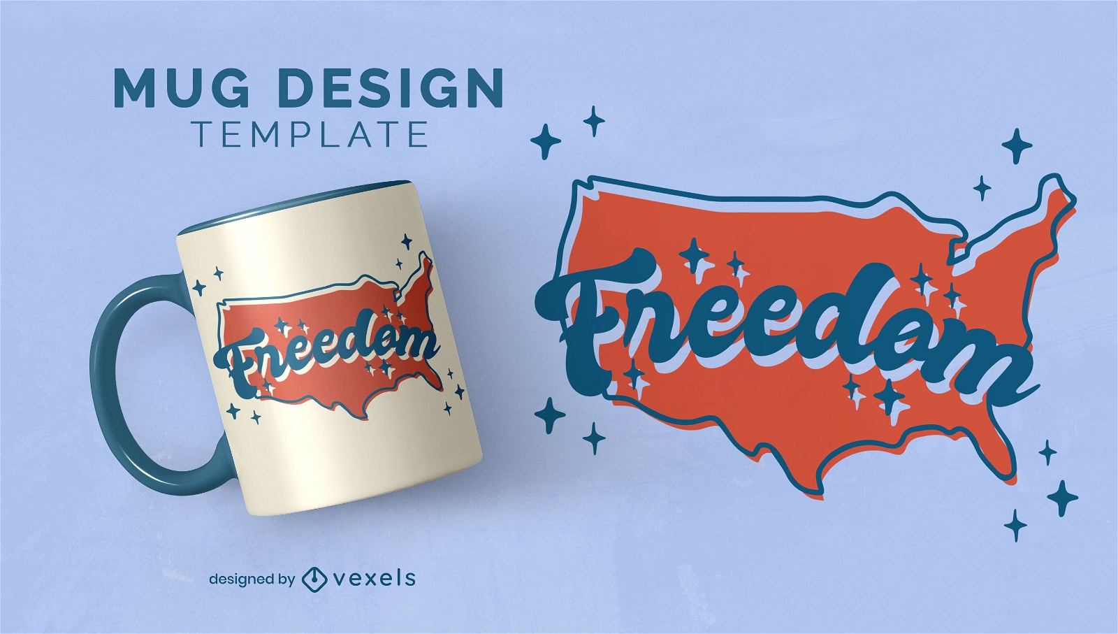
North american map freedom mug design
Choose a folder
All favorites
Create new
Save
North american map freedom mug design
Print ready
for Merch
Freedom Pride T-shirt Design
Choose a folder
All favorites
Create new
Save
Freedom Pride T-shirt Design
Print ready
for Merch
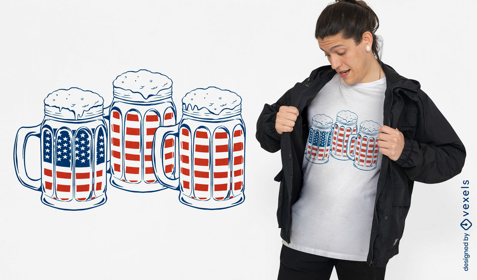
Mugs with beer and american flags t-shirt design
Choose a folder
All favorites
Create new
Save
Mugs with beer and american flags t-shirt design
Print ready
for Merch
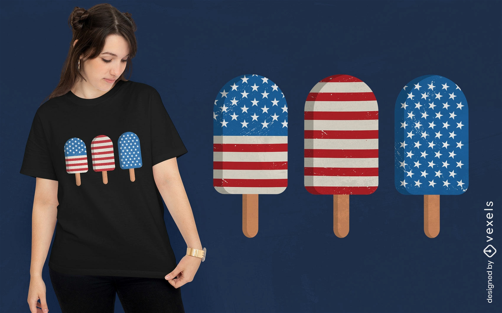
American popsicles t-shirt design
Choose a folder
All favorites
Create new
Save
American popsicles t-shirt design
for Merch
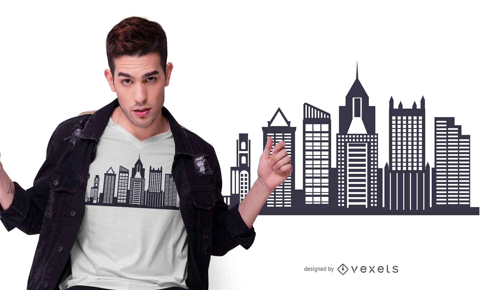
Pittsburgh Skyline T-shirt Design
Choose a folder
All favorites
Create new
Save
Pittsburgh Skyline T-shirt Design
Print ready
for Merch
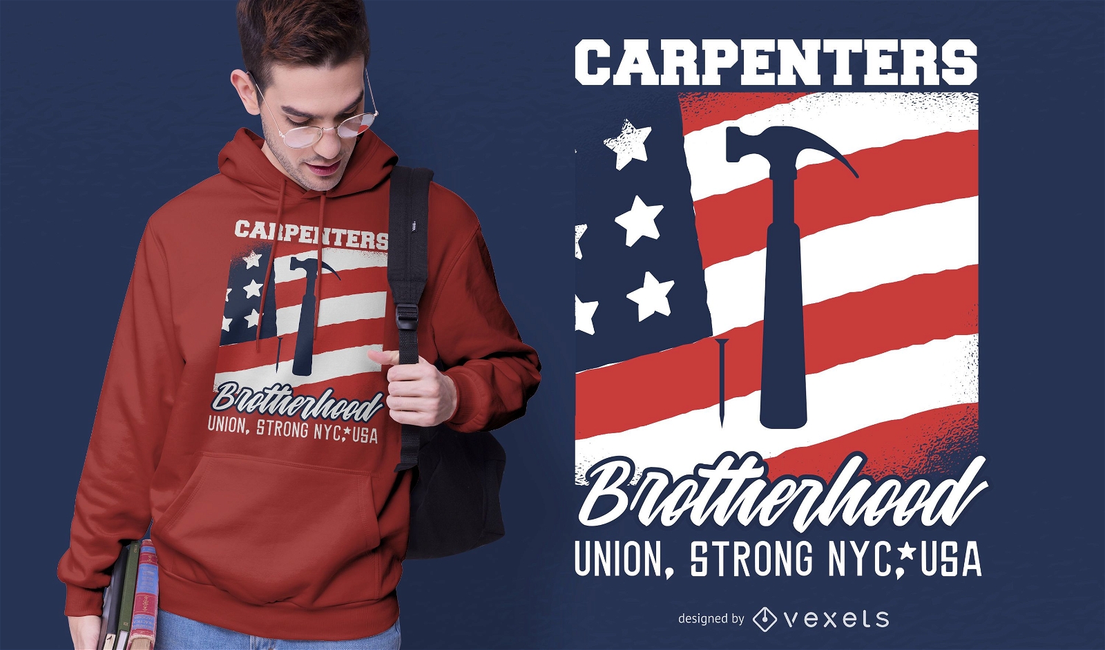
Carpenters Brotherhood T-shirt Design
Choose a folder
All favorites
Create new
Save
Carpenters Brotherhood T-shirt Design
Print ready
for Merch
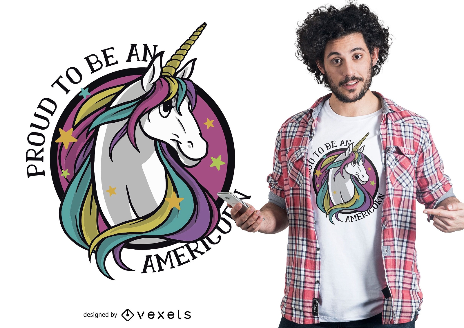
Proud americorn t-shirt design
Choose a folder
All favorites
Create new
Save
Proud americorn t-shirt design
Editable text
Print ready
for Merch
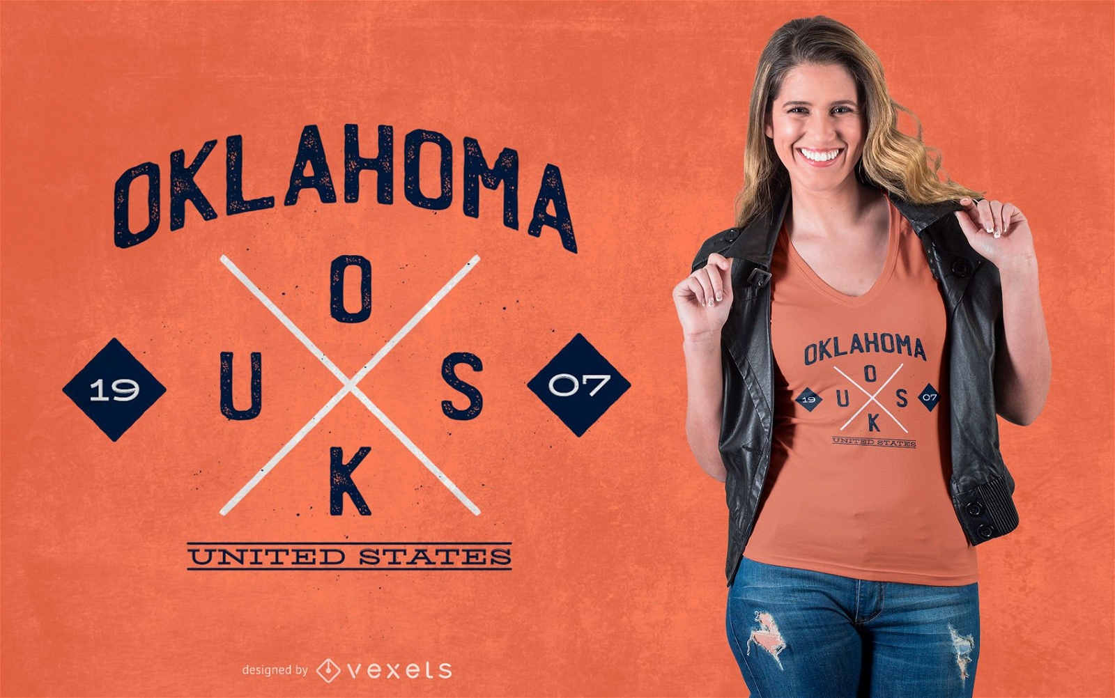
Oklahoma Hipster T-shirt Design
Choose a folder
All favorites
Create new
Save
Oklahoma Hipster T-shirt Design
Boost Your Business
With The Leading Graphic Platform For Merch.
SEE PLANS
Next
of 29
prev page
next page