Design Library
New Merch Designs
T-Shirts
Vectors
Trending Merch Designs
PNGs & SVGs
Mockups
T-Shirt PSD Templates
Explore Designs
KDP Designs
Posters
Mugs
Phone Cases
Tote Bags
Pillows
Design Tools
Merch Designer
New!
Mockup Generator
AI Design Generator
Image Vectorizer
Quote Generator
T-Shirt Maker (Old)
Resources
Merch Digest
Blog
Help Center
Learn About Merch
Feedback
Corporate Solutions
Enterprise
API Access
Design Studio
Bulk Design Production
Pricing
Loading...
Sign Up
Login
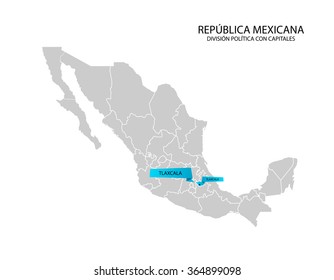
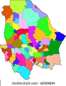
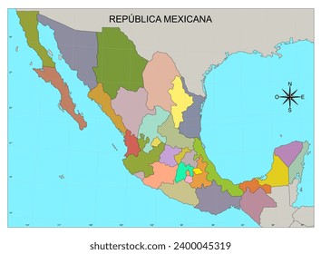
Merch Vectors
estados
Design Library
New Merch Designs
T-Shirts
Vectors
Trending Merch Designs
PNGs & SVGs
Mockups
T-Shirt PSD Templates
Explore Designs
KDP Designs
Posters
Mugs
Phone Cases
Tote Bags
Pillows
Design Tools
Merch Designer
New!
Mockup Generator
AI Design Generator
Image Vectorizer
Quote Generator
T-Shirt Maker (Old)
Resources
Merch Digest
Blog
Help Center
Learn About Merch
Feedback
Corporate Solutions
Enterprise
API Access
Design Studio
Bulk Design Production
PLANS
Merch Vectors
estados
1449 estados Vector Designs for T-Shirts and merch
Download & buy editable estados AI Vector Graphics Designs for T shirts, Phone Cases, Book Covers and other Merch
Sort by
Most relevant
Sponsored results by
Get 15% off with code: VEXELS15
Show more
for Merch
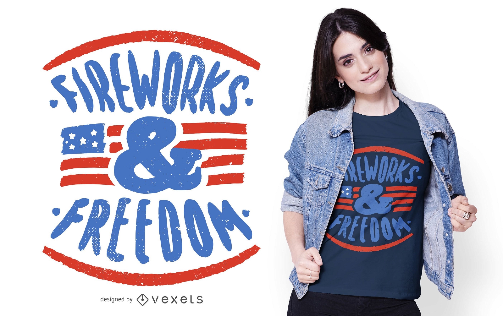
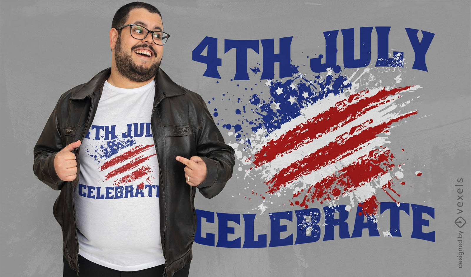
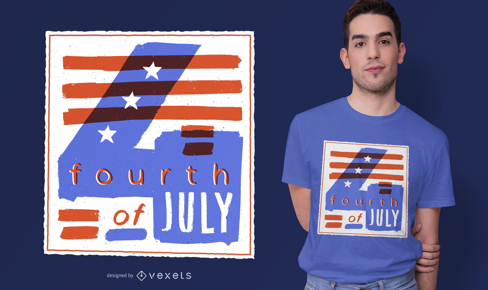
4th July Text T-shirt Design
Choose a folder
All favorites
Create new
Save
4th July Text T-shirt Design
Editable text
Print ready
for Merch
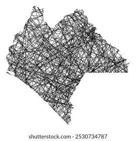
California State Hipster Logo T-shirt Design
Choose a folder
All favorites
Create new
Save
California State Hipster Logo T-shirt Design
Print ready
for Merch
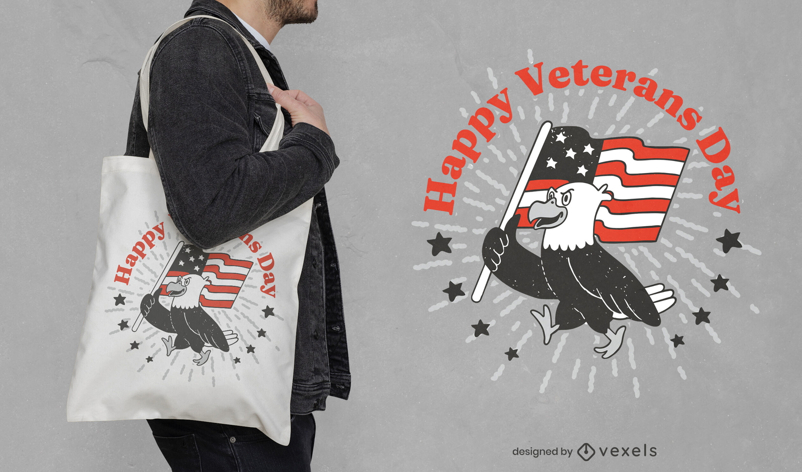
Eagle with flag veterans day tote bag design
Choose a folder
All favorites
Create new
Save
Eagle with flag veterans day tote bag design
Print ready
for Merch
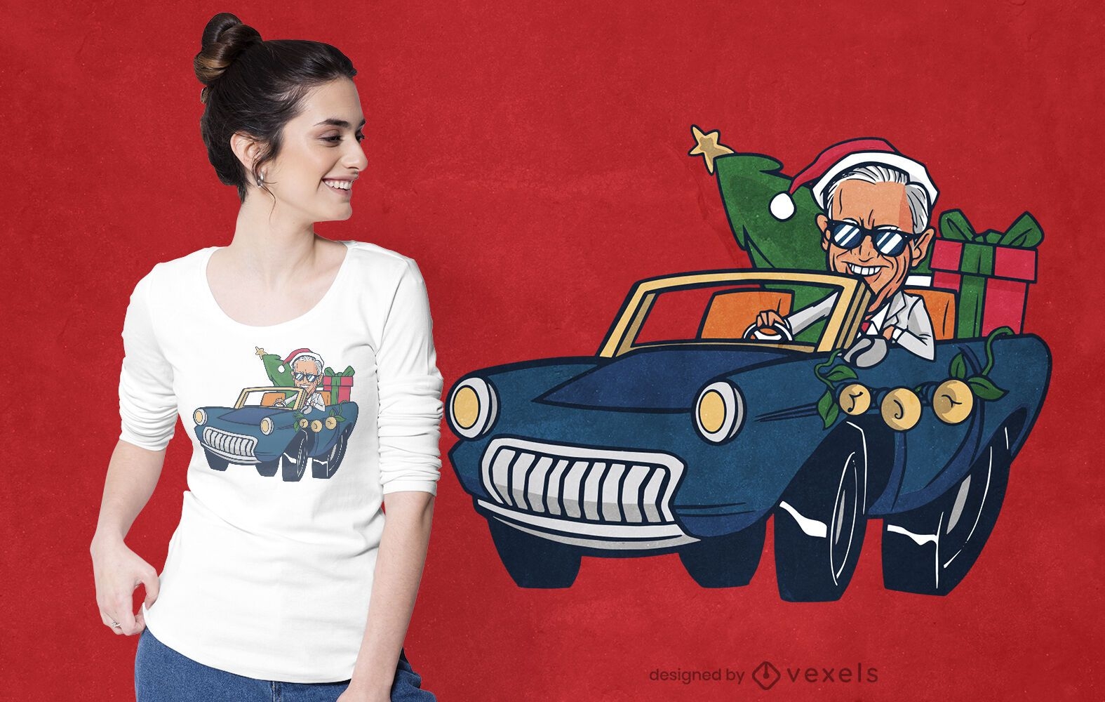
Christmas biden riding t-shirt design
Choose a folder
All favorites
Create new
Save
Christmas biden riding t-shirt design
Print ready
for Merch
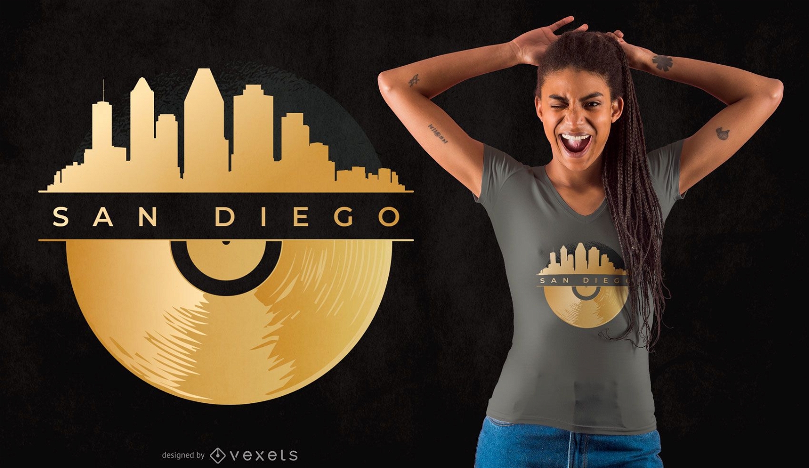
San Diego Vinyl Skyline T-shirt Design
Choose a folder
All favorites
Create new
Save
San Diego Vinyl Skyline T-shirt Design
Print ready
for Merch
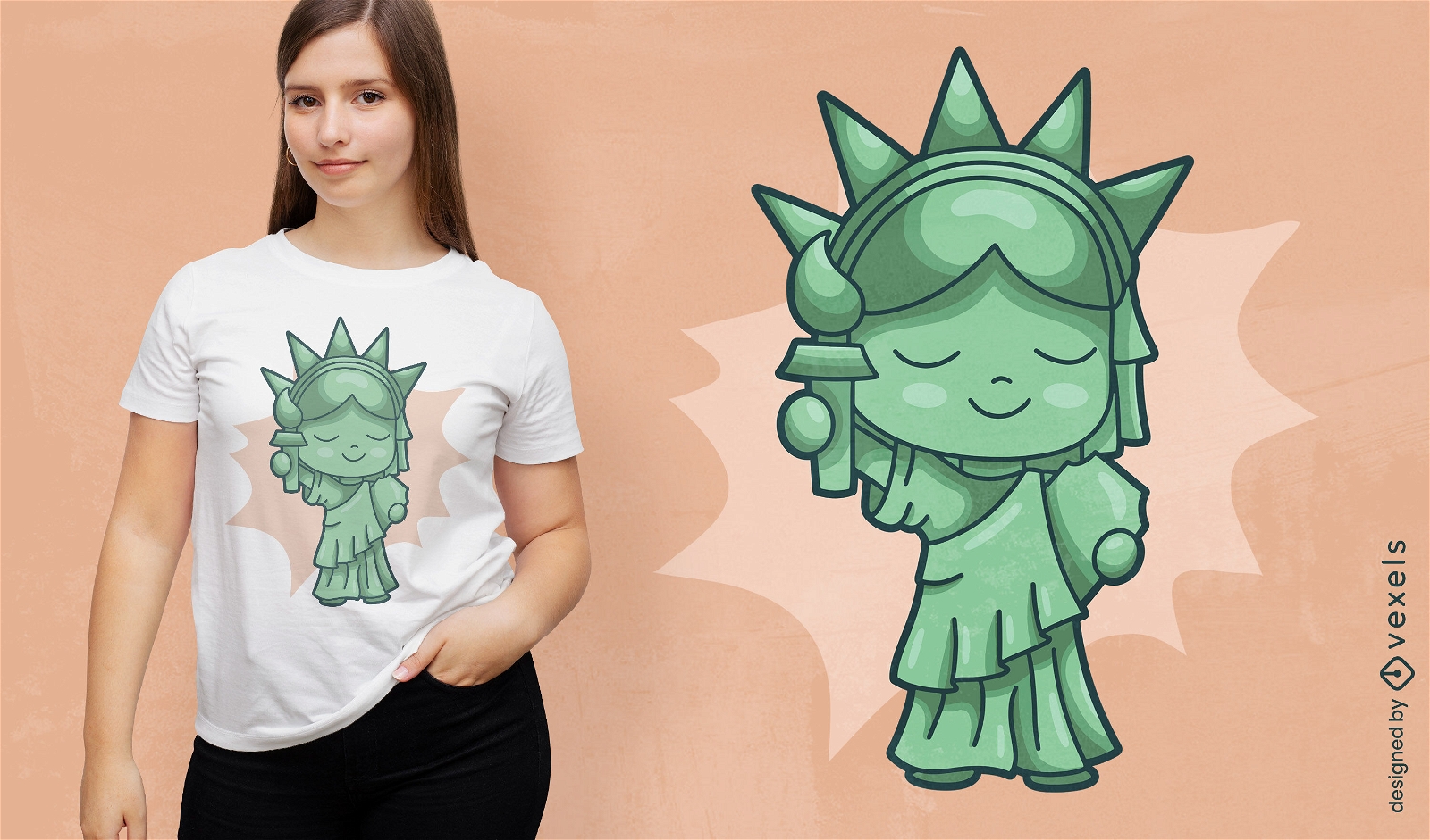
Chibi statue of liberty t-shirt design
Choose a folder
All favorites
Create new
Save
Chibi statue of liberty t-shirt design
Editable text
Print ready
for Merch
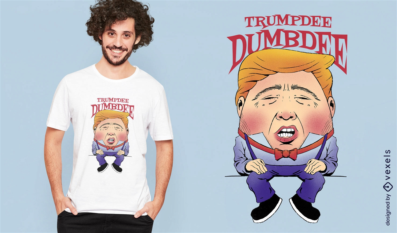
Funny USA president t-shirt design
Choose a folder
All favorites
Create new
Save
Funny USA president t-shirt design
Editable text
Print ready
for Merch
Celebrate 4th of July flag t-shirt design
Choose a folder
All favorites
Create new
Save
Celebrate 4th of July flag t-shirt design
Print ready
for Merch
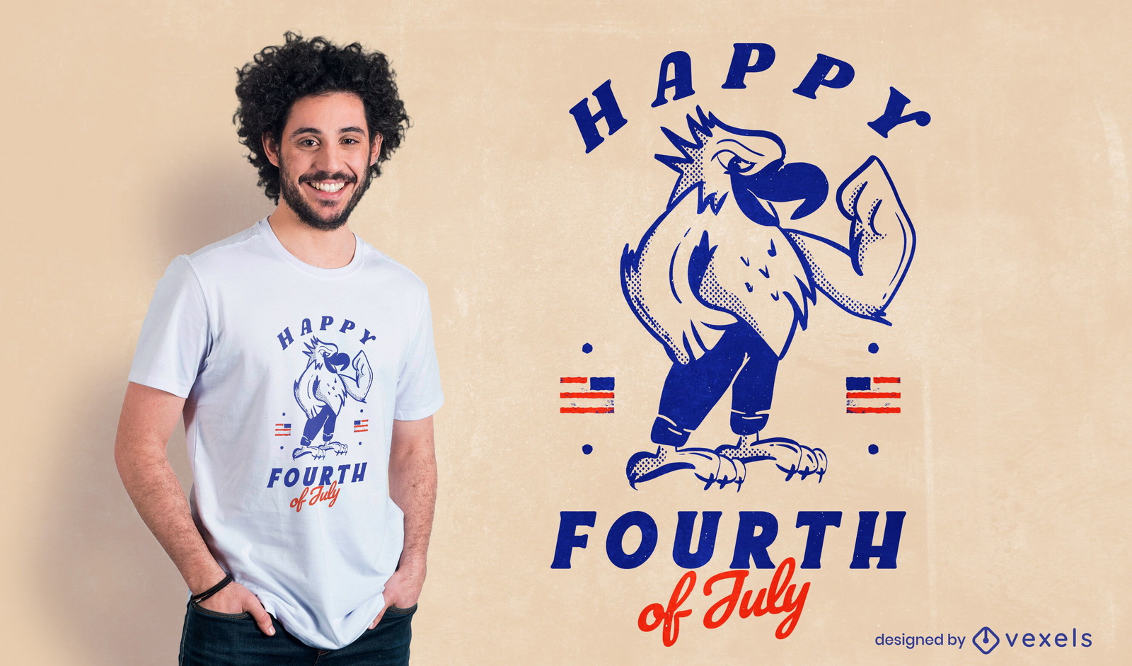
Happy fourth of july t-shirt design
Choose a folder
All favorites
Create new
Save
Happy fourth of july t-shirt design
Print ready
for Merch
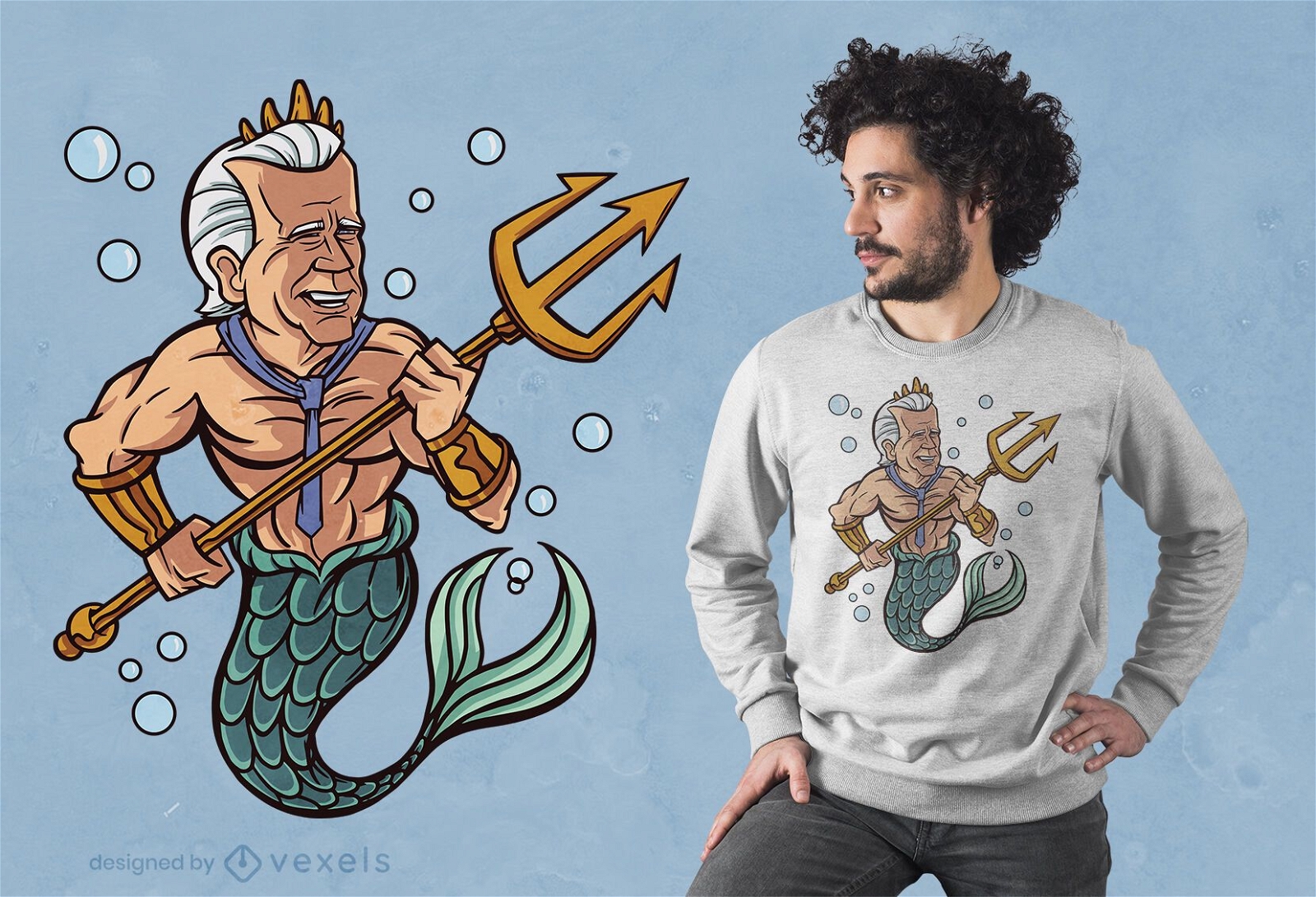
Biden merman t-shirt design
Choose a folder
All favorites
Create new
Save
Biden merman t-shirt design
Print ready
for Merch
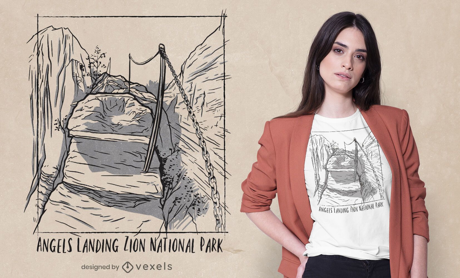
Zion national park usa t-shirt design
Choose a folder
All favorites
Create new
Save
Zion national park usa t-shirt design
Print ready
for Merch
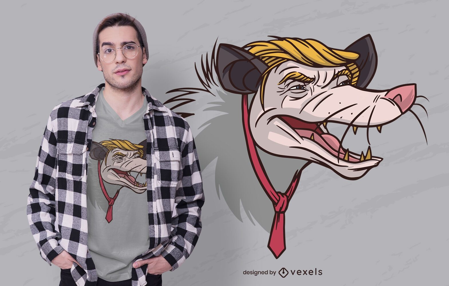
Opossum Trump t-shirt design
Choose a folder
All favorites
Create new
Save
Opossum Trump t-shirt design
for Merch
I Love USA T-shirt Design
Choose a folder
All favorites
Create new
Save
I Love USA T-shirt Design
Print ready
for Merch
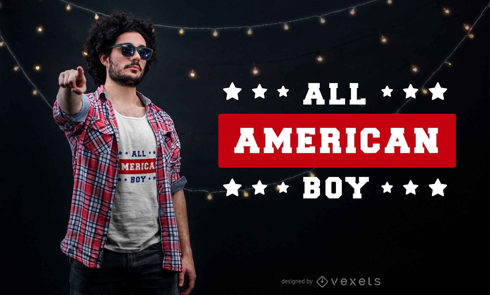
American boy t-shirt design
Choose a folder
All favorites
Create new
Save
American boy t-shirt design
for Merch
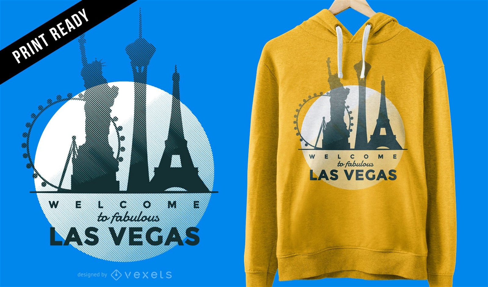
Minimalist Las Vegas skyline t-shirt design
Choose a folder
All favorites
Create new
Save
Minimalist Las Vegas skyline t-shirt design
Editable text
Print ready
for Merch
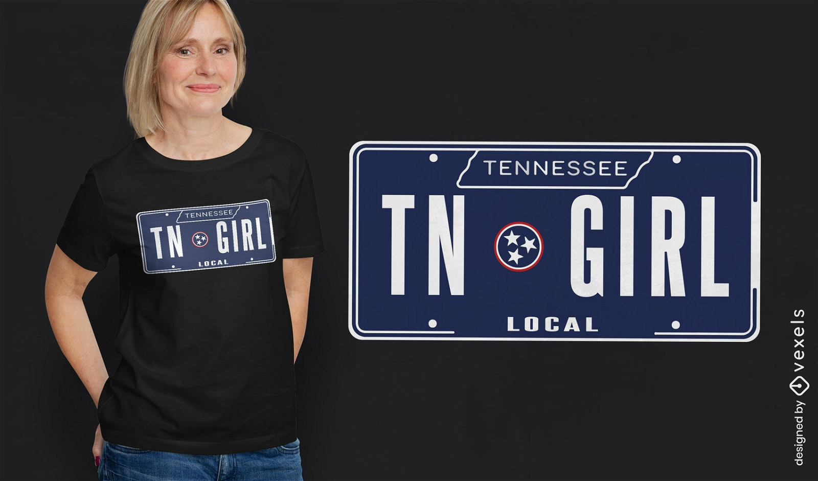
Tennessee license plate t-shirt design
Choose a folder
All favorites
Create new
Save
Tennessee license plate t-shirt design
Print ready
for Merch
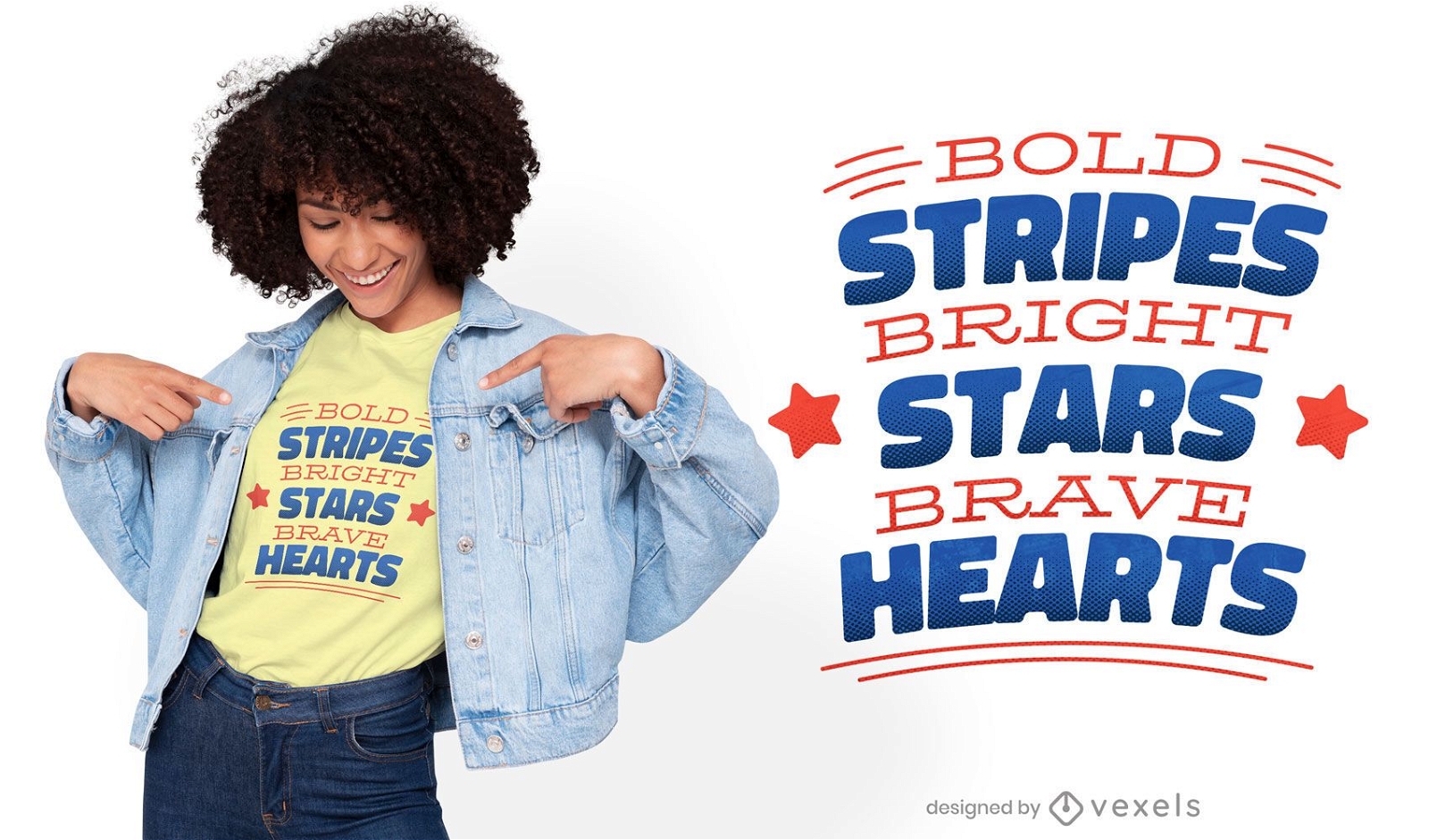
Patriotic quote t-shirt design
Choose a folder
All favorites
Create new
Save
Patriotic quote t-shirt design
Print ready
for Merch
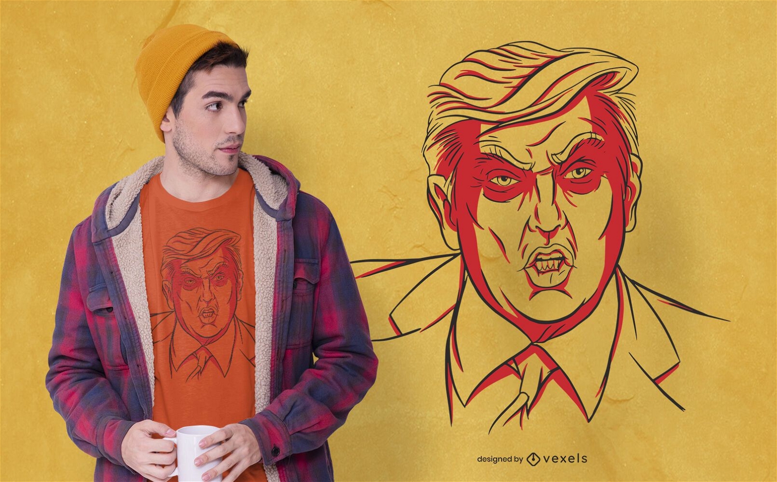
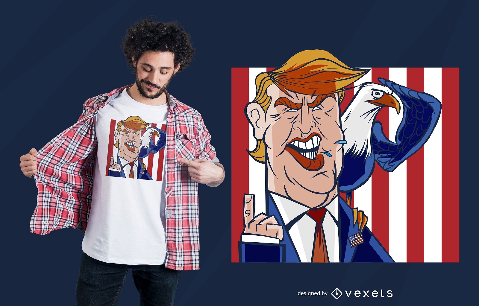
Angry Trump t-shirt design
Choose a folder
All favorites
Create new
Save
Angry Trump t-shirt design
Print ready
for Merch
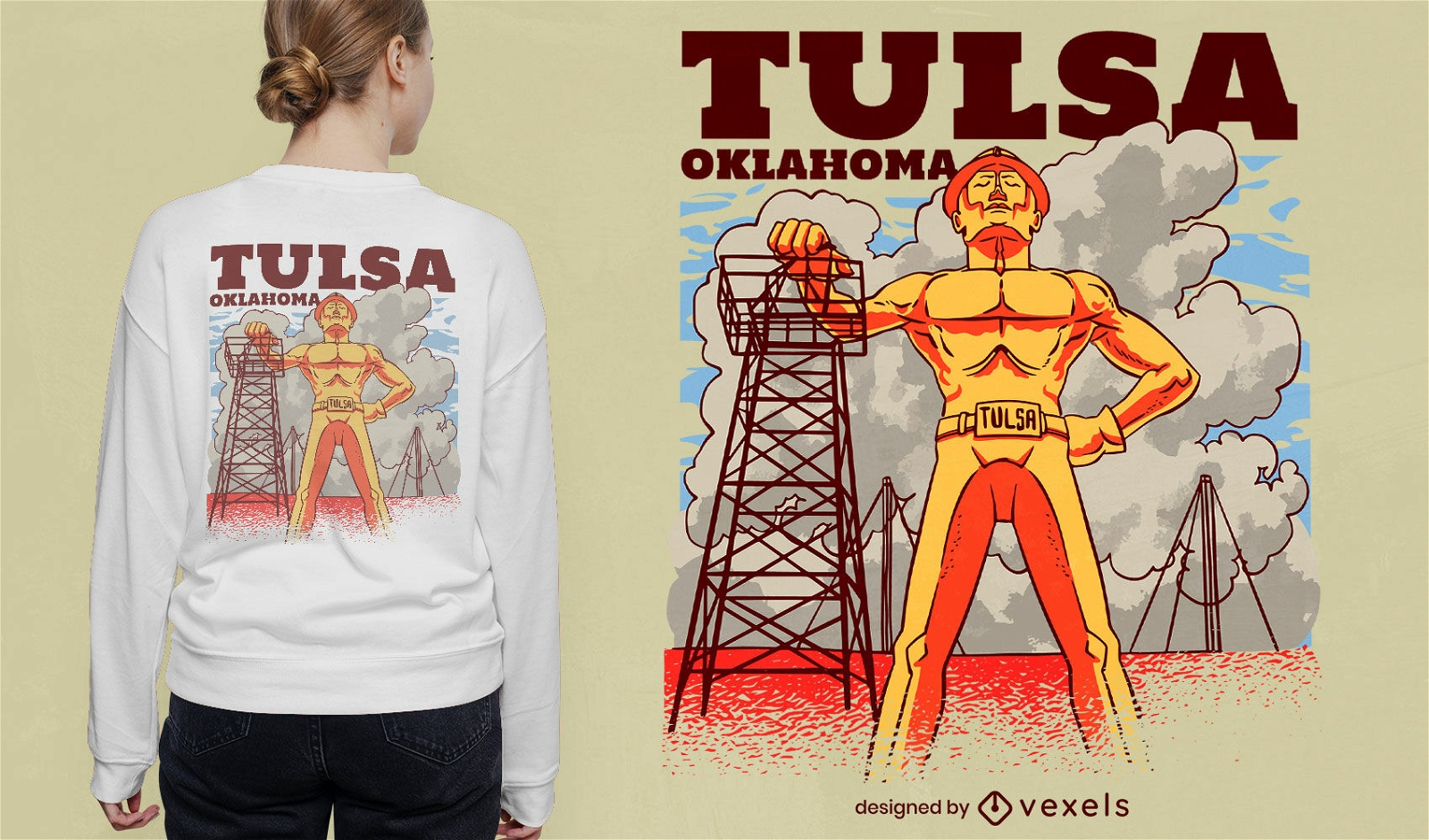
Tulsa Oklahoma T-shirt Design
Choose a folder
All favorites
Create new
Save
Tulsa Oklahoma T-shirt Design
Print ready
for Merch
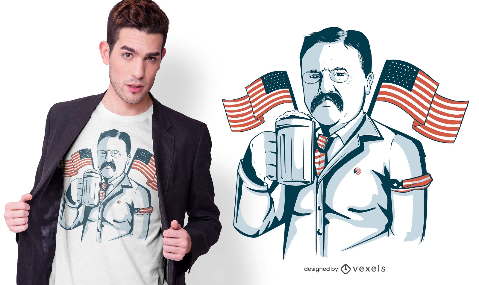
Roosevelt beer t-shirt design
Choose a folder
All favorites
Create new
Save
Roosevelt beer t-shirt design
Print ready
for Merch
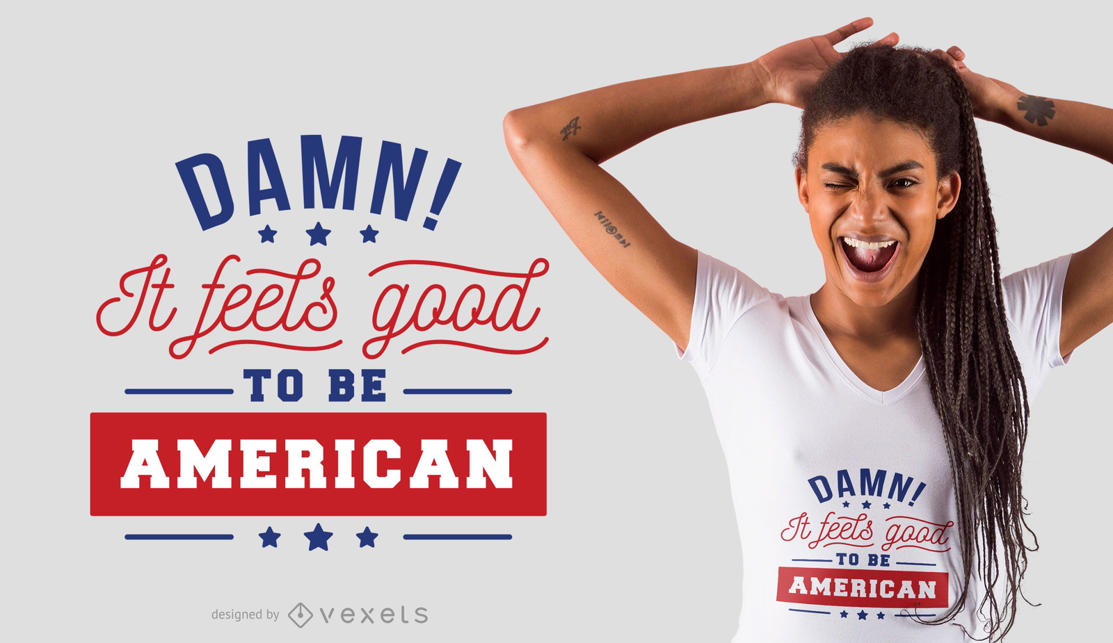
Good to be american t-shirt design
Choose a folder
All favorites
Create new
Save
Good to be american t-shirt design
Editable text
Print ready
for Merch
Adventure national parks t-shirt design
Choose a folder
All favorites
Create new
Save
Adventure national parks t-shirt design
Editable text
Print ready
for Merch
Dominican republic phone case design set
Choose a folder
All favorites
Create new
Save
Dominican republic phone case design set
Print ready
for Merch
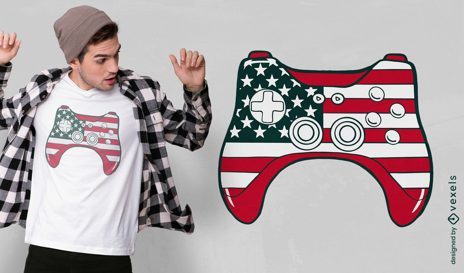
Joystick with USA flag t-shirt design
Choose a folder
All favorites
Create new
Save
Joystick with USA flag t-shirt design
Print ready
for Merch
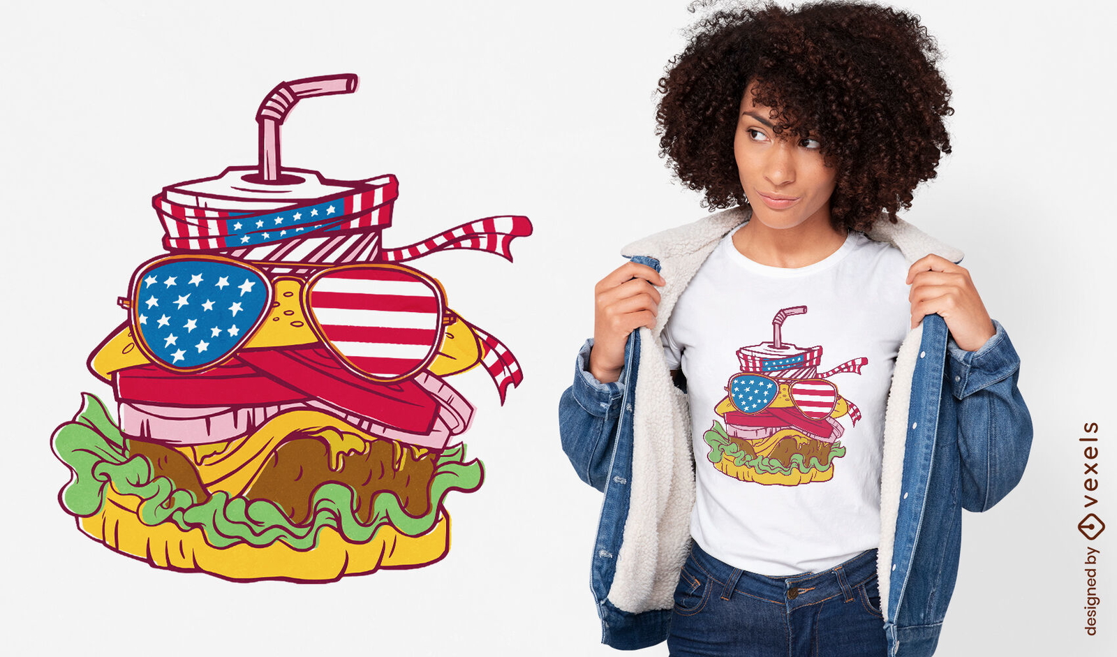
American sunglasses burger t-shirt design
Choose a folder
All favorites
Create new
Save
American sunglasses burger t-shirt design
Print ready
for Merch
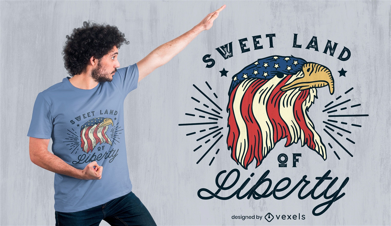
Fourth of july american eagle t-shirt design
Choose a folder
All favorites
Create new
Save
Fourth of july american eagle t-shirt design
Print ready
for Merch
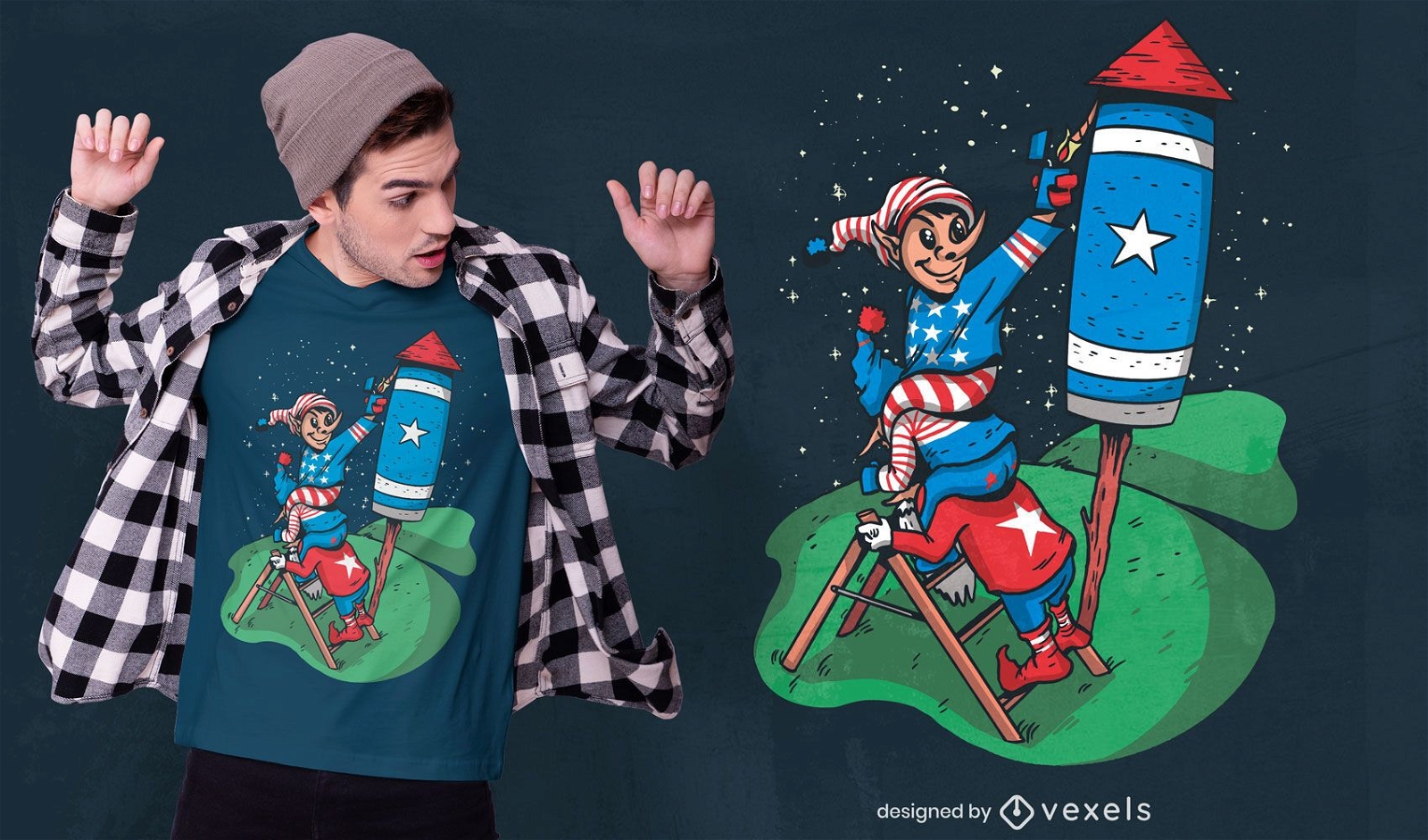
Patriotic gnomes usa rocket t-shirt design
Choose a folder
All favorites
Create new
Save
Patriotic gnomes usa rocket t-shirt design
Print ready
for Merch
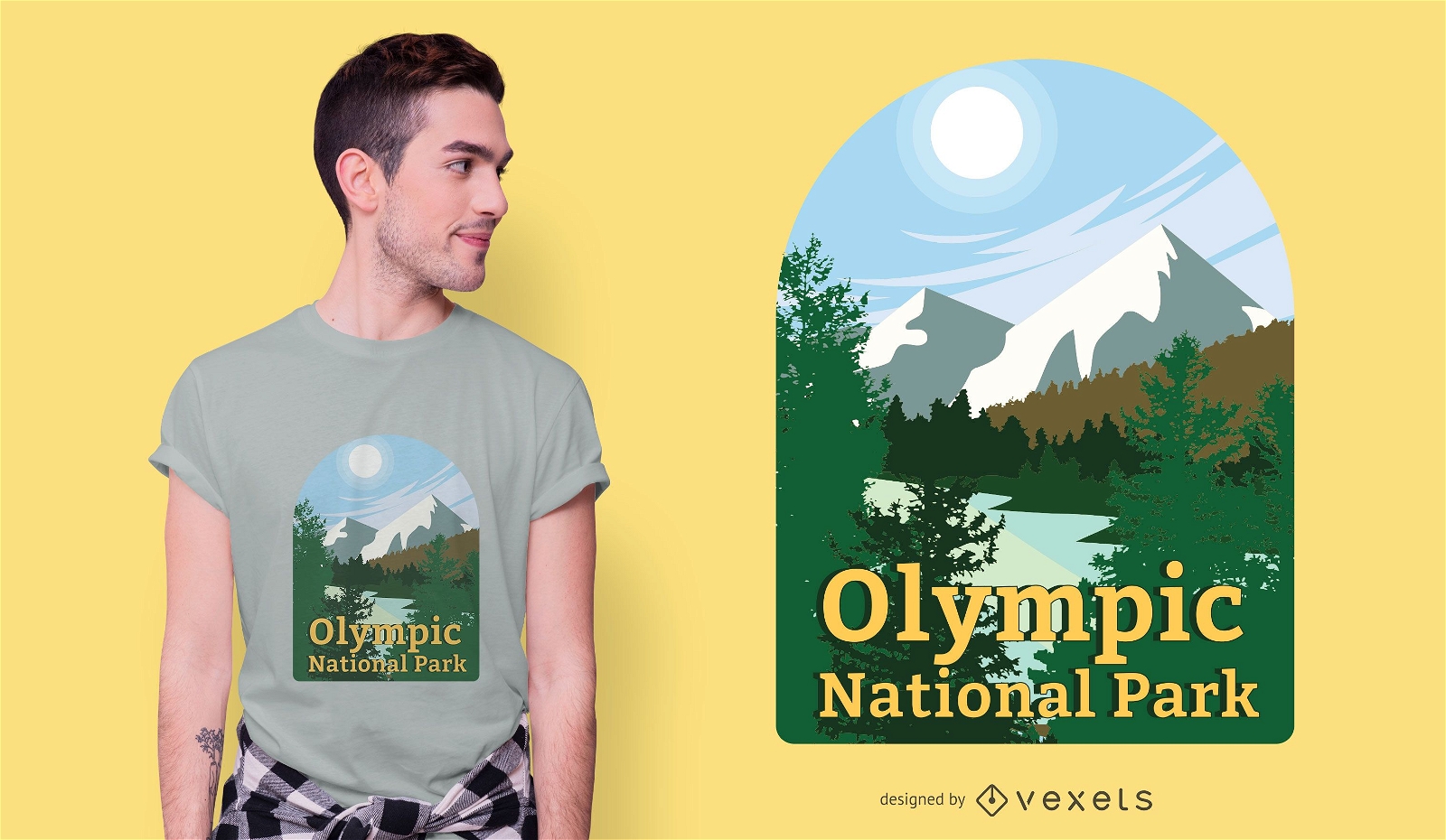
Olympic national park t-shirt design
Choose a folder
All favorites
Create new
Save
Olympic national park t-shirt design
Print ready
for Merch
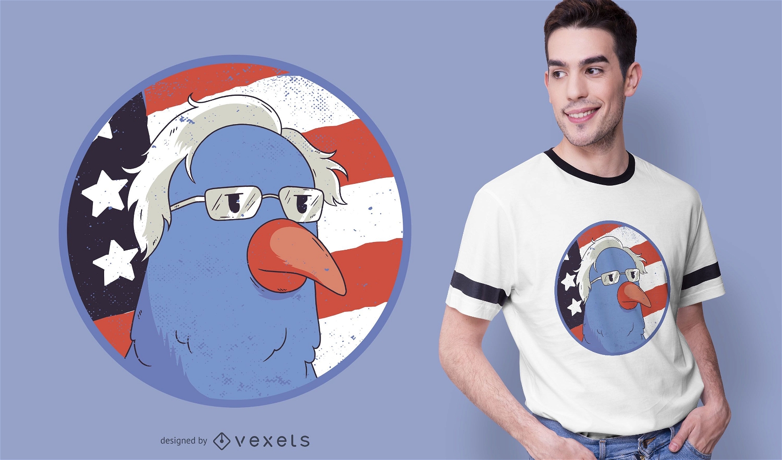
Bernie Sanders Bird T-shirt Design
Choose a folder
All favorites
Create new
Save
Bernie Sanders Bird T-shirt Design
Print ready
for Merch
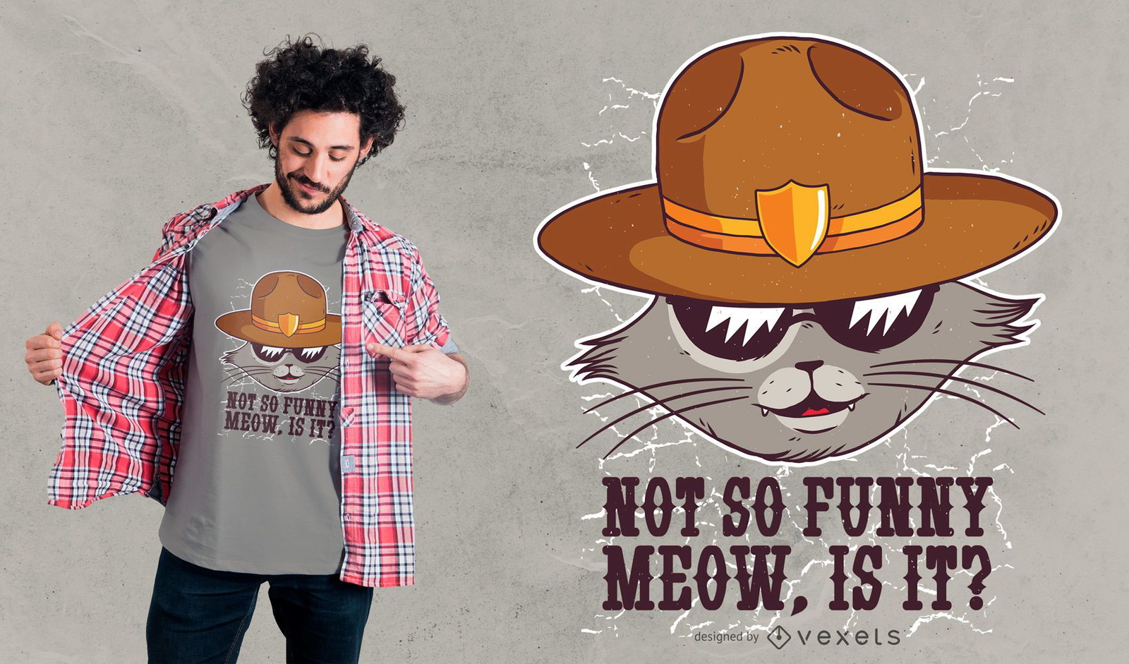
Sheriff cat t-shirt design
Choose a folder
All favorites
Create new
Save
Sheriff cat t-shirt design
Print ready
for Merch
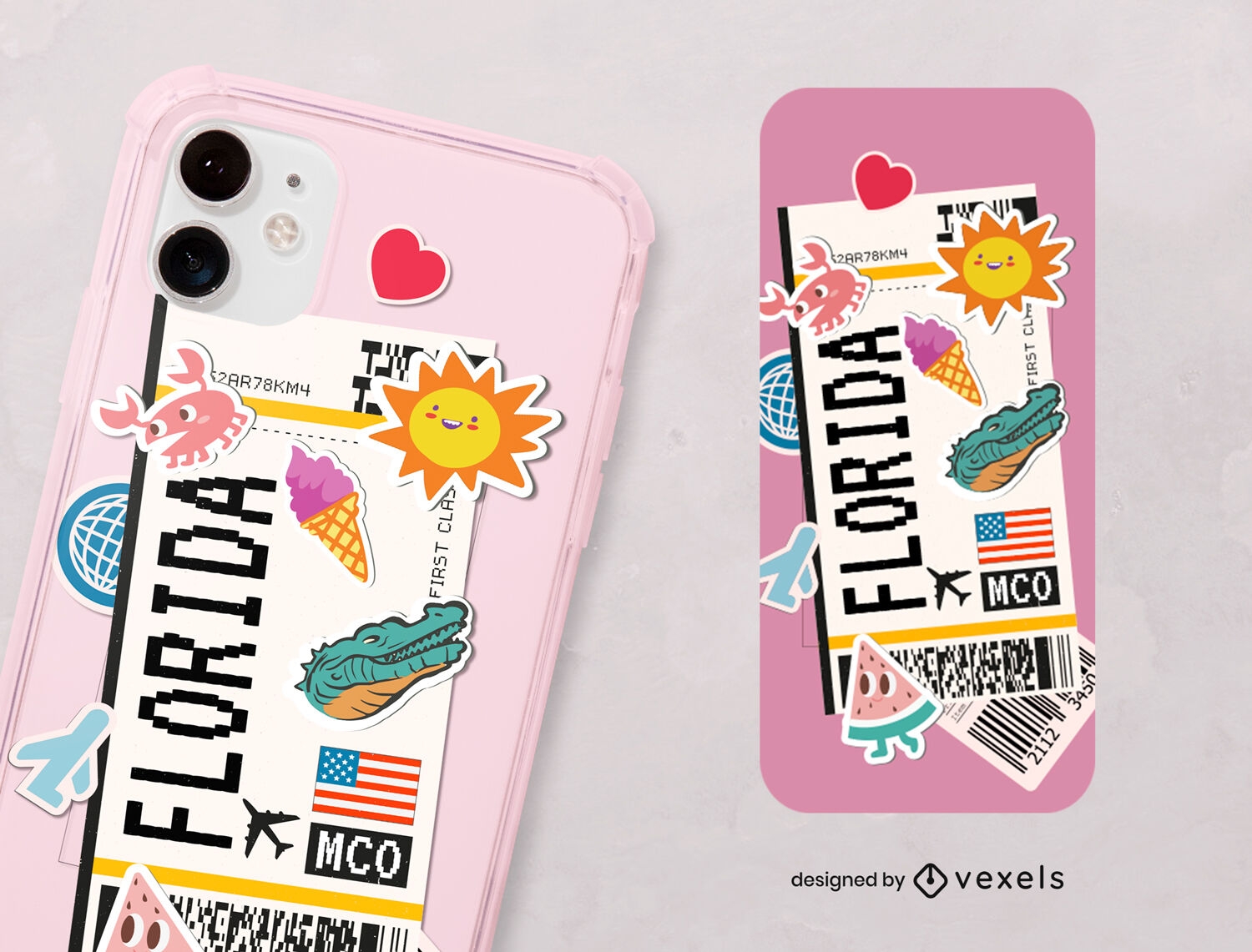
Florida USA stickers phone case design
Choose a folder
All favorites
Create new
Save
Florida USA stickers phone case design
Print ready
for Merch
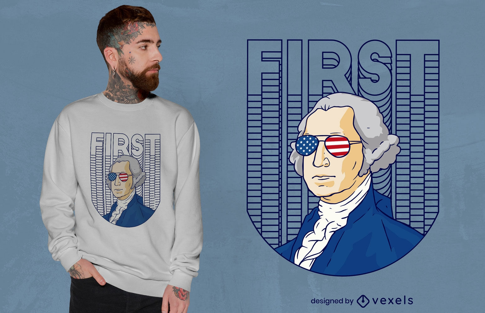
Cool Washington t-shirt design
Choose a folder
All favorites
Create new
Save
Cool Washington t-shirt design
Print ready
for Merch
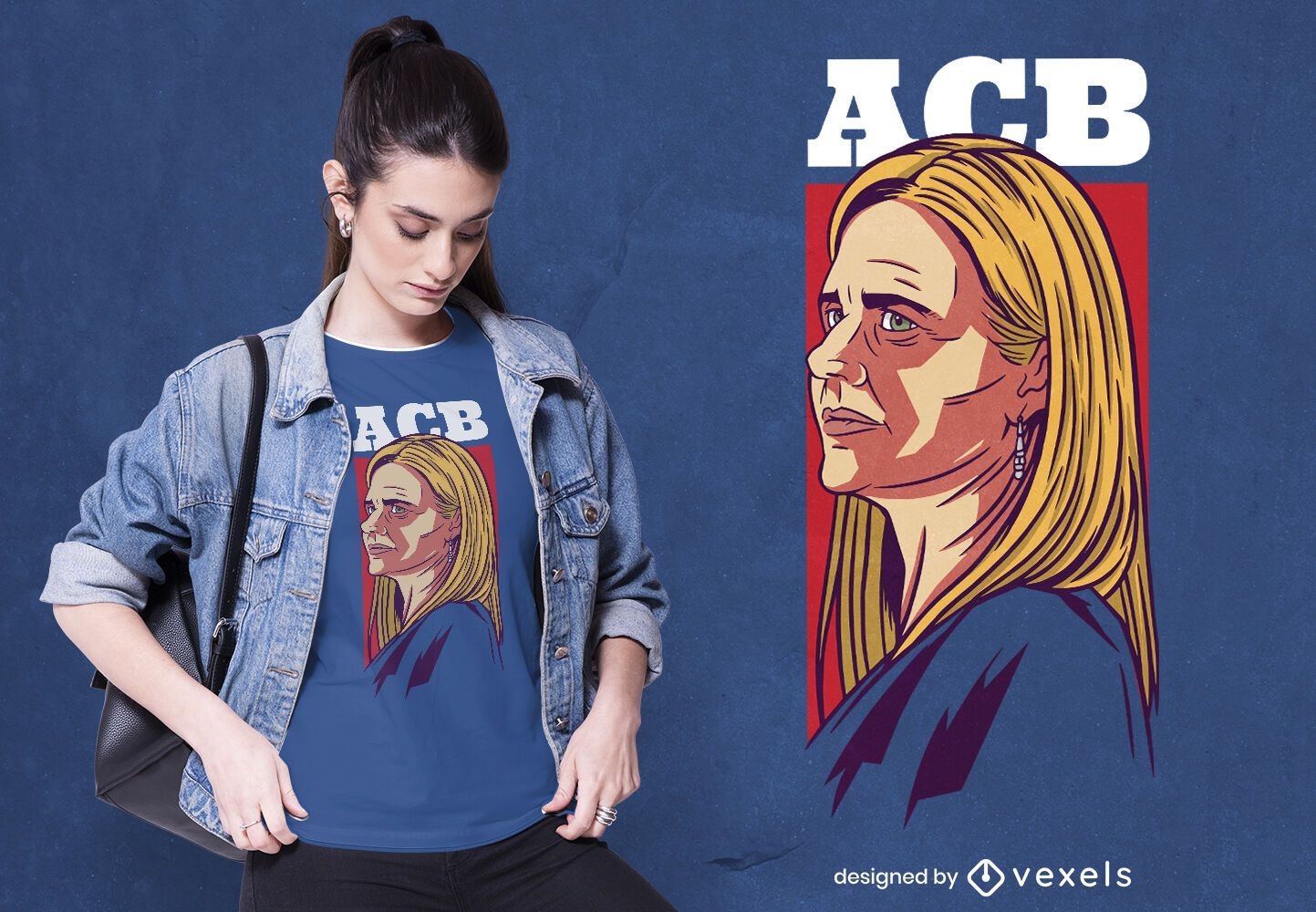
Amy coney barrett t-shirt design
Choose a folder
All favorites
Create new
Save
Amy coney barrett t-shirt design
Print ready
for Merch
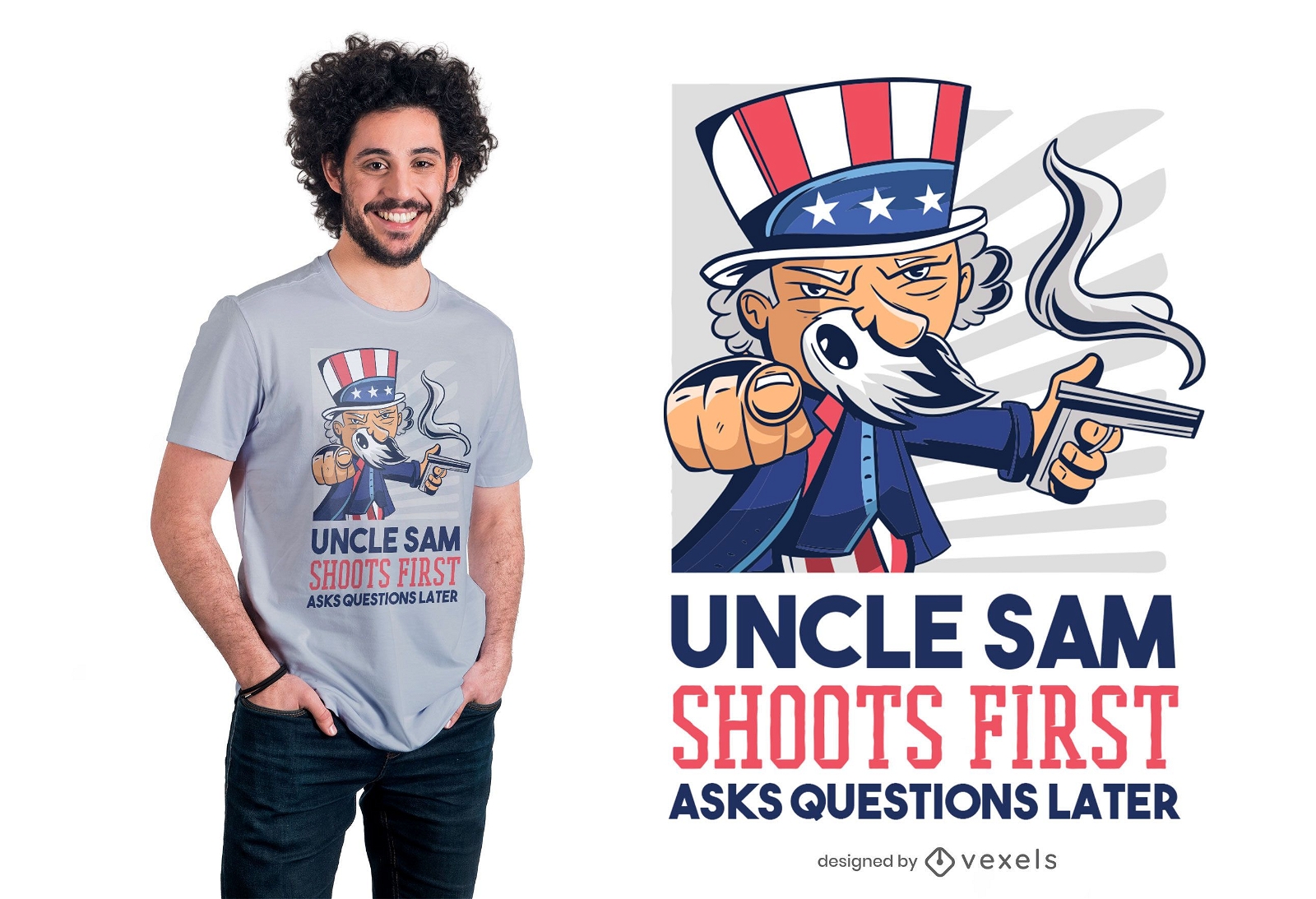
Uncle Sam Shoots First T-shirt Design
Choose a folder
All favorites
Create new
Save
Uncle Sam Shoots First T-shirt Design
Print ready
for Merch
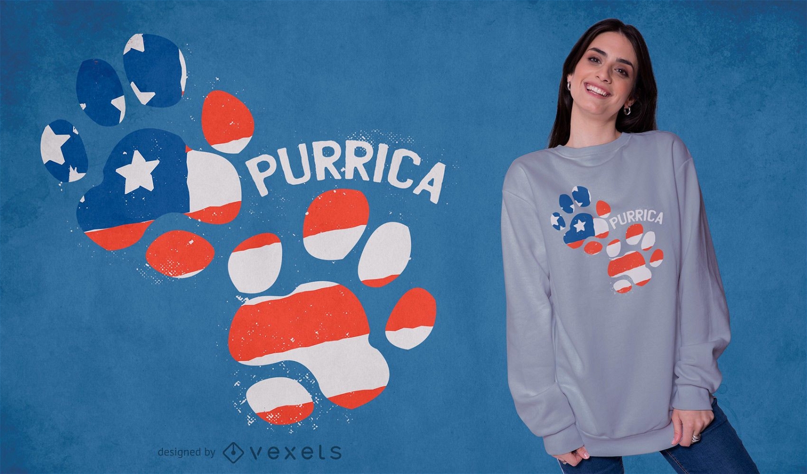
Purrica footprint t-shirt design
Choose a folder
All favorites
Create new
Save
Purrica footprint t-shirt design
Print ready
for Merch
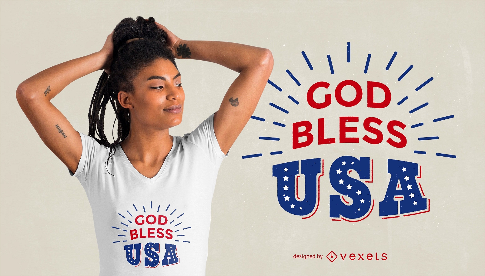
God bless T-Shirt Design
Choose a folder
All favorites
Create new
Save
God bless T-Shirt Design
Print ready
for Merch
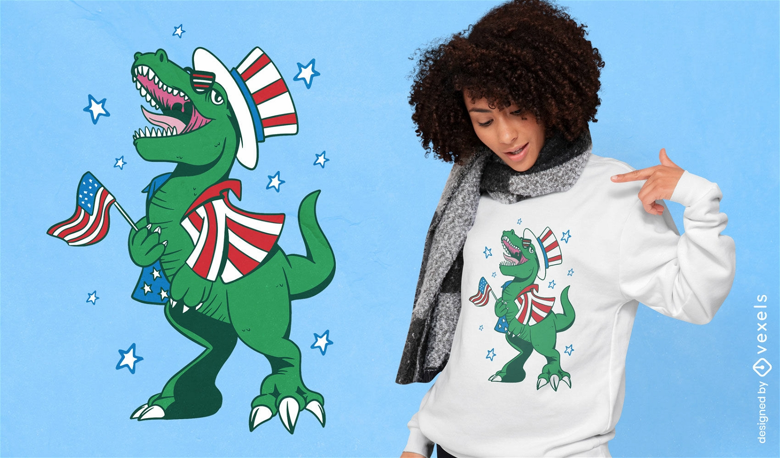
Independence day dinosaur character t-shirt design
Choose a folder
All favorites
Create new
Save
Independence day dinosaur character t-shirt design
Print ready
for Merch
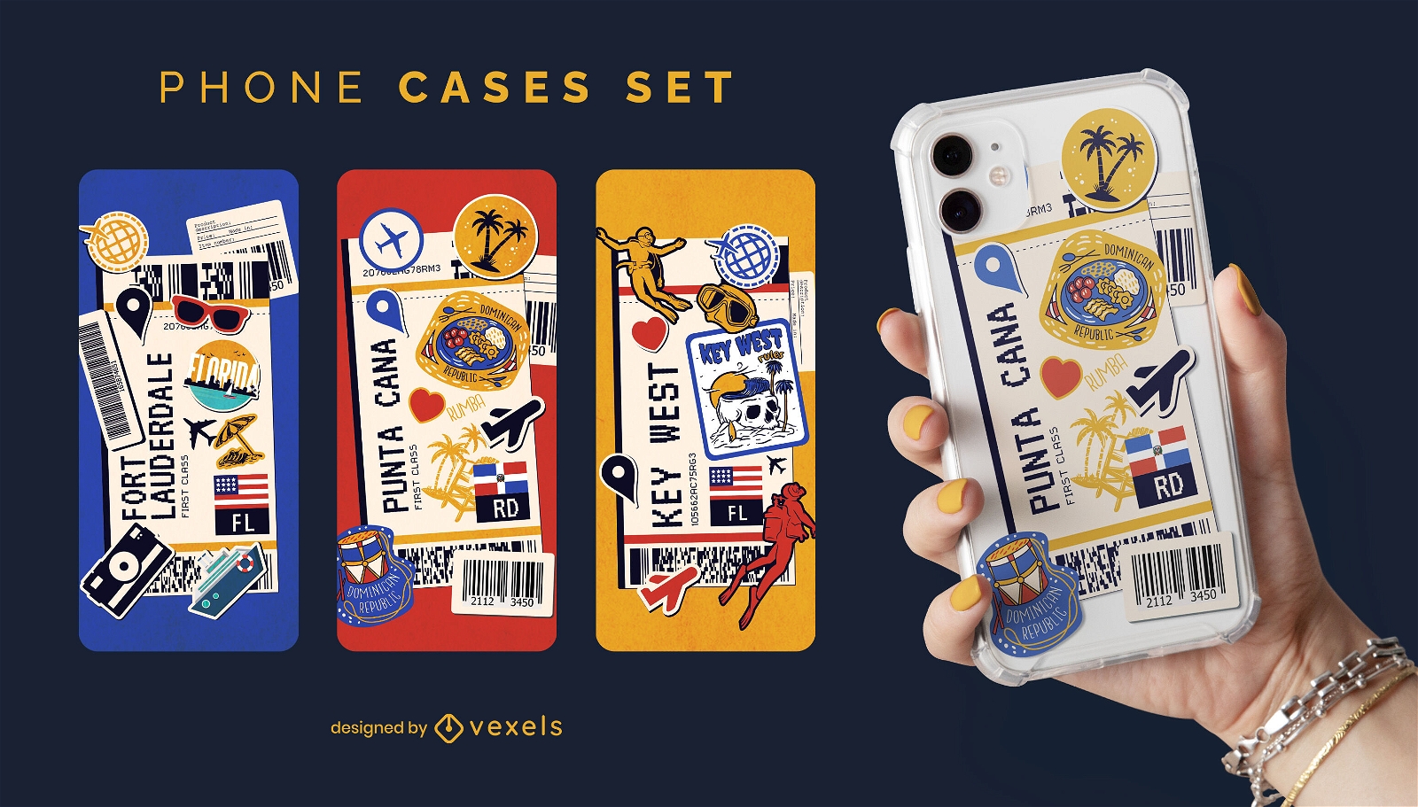
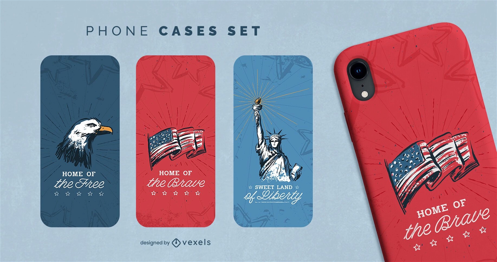
Fourth of july phone case set
Choose a folder
All favorites
Create new
Save
Fourth of july phone case set
Print ready
for Merch
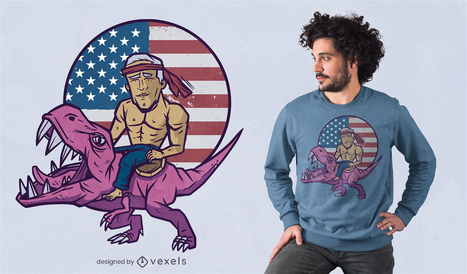
Biden t-rex t-shirt design
Choose a folder
All favorites
Create new
Save
Biden t-rex t-shirt design
Print ready
for Merch
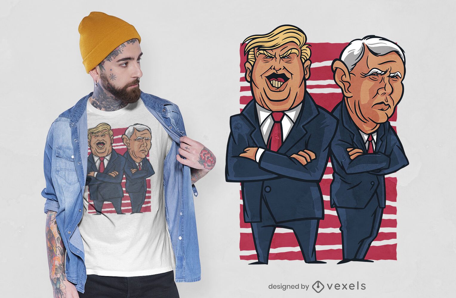
Trump & Pence t-shirt design
Choose a folder
All favorites
Create new
Save
Trump & Pence t-shirt design
Print ready
for Merch
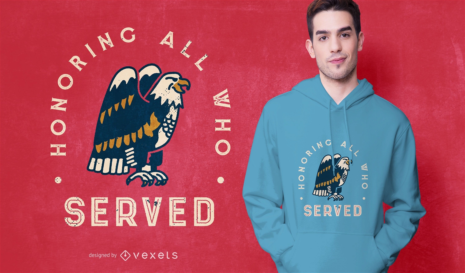
Veterans day eagle t-shirt design
Choose a folder
All favorites
Create new
Save
Veterans day eagle t-shirt design
Print ready
for Merch
Trump Eagle T-shirt Design
Choose a folder
All favorites
Create new
Save
Trump Eagle T-shirt Design
Print ready
for Merch
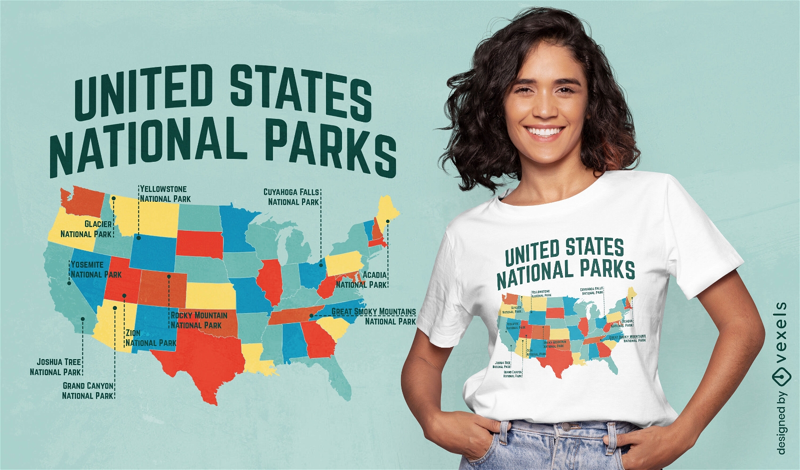
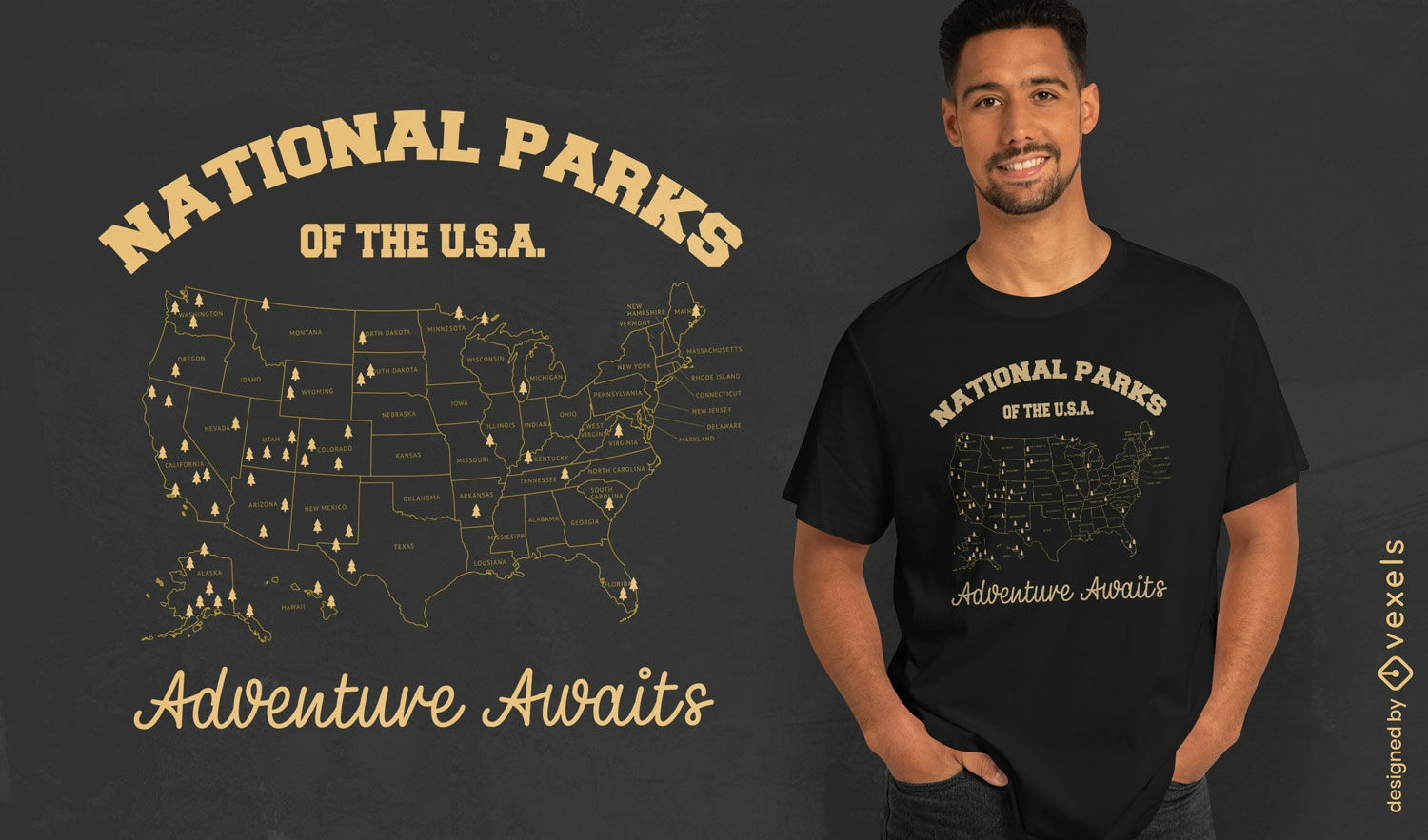
National parks adventure t-shirt design
Choose a folder
All favorites
Create new
Save
National parks adventure t-shirt design
Editable text
Print ready
for Merch
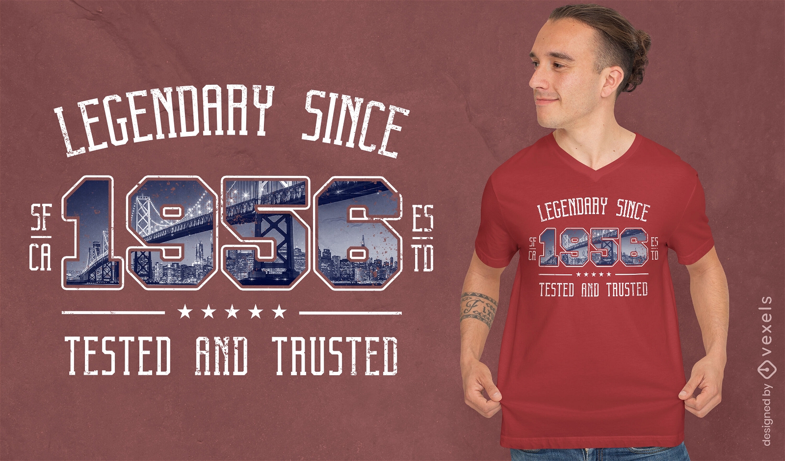
American landscape bridge t-shirt psd
Choose a folder
All favorites
Create new
Save
American landscape bridge t-shirt psd
Print ready
for Merch
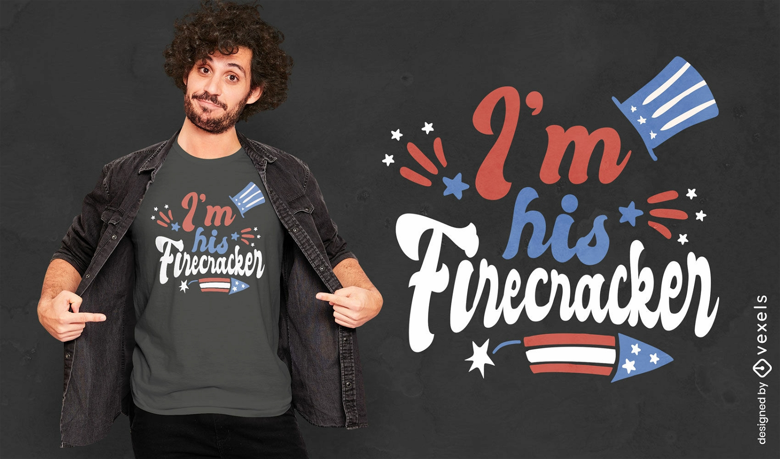
His firecracker holiday quote t-shirt design
Choose a folder
All favorites
Create new
Save
His firecracker holiday quote t-shirt design
Print ready
for Merch
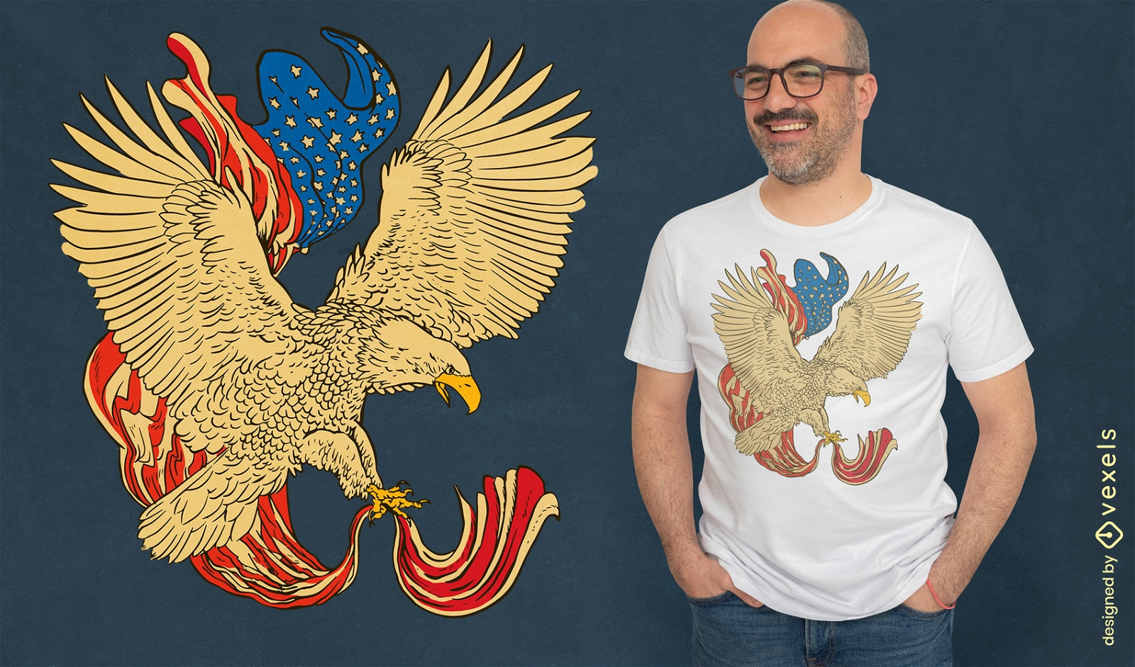
Eagle with american flag t-shirt design
Choose a folder
All favorites
Create new
Save
Eagle with american flag t-shirt design
Print ready
for Merch
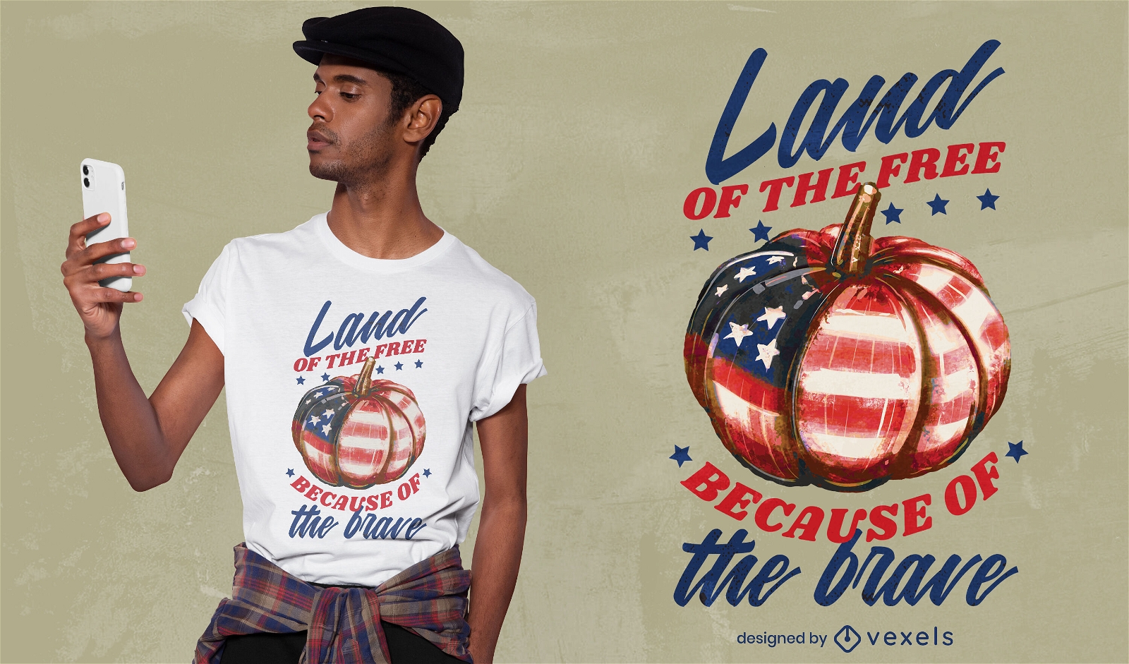
Pumpkin with american flag t-shirt design
Choose a folder
All favorites
Create new
Save
Pumpkin with american flag t-shirt design
Print ready
for Merch
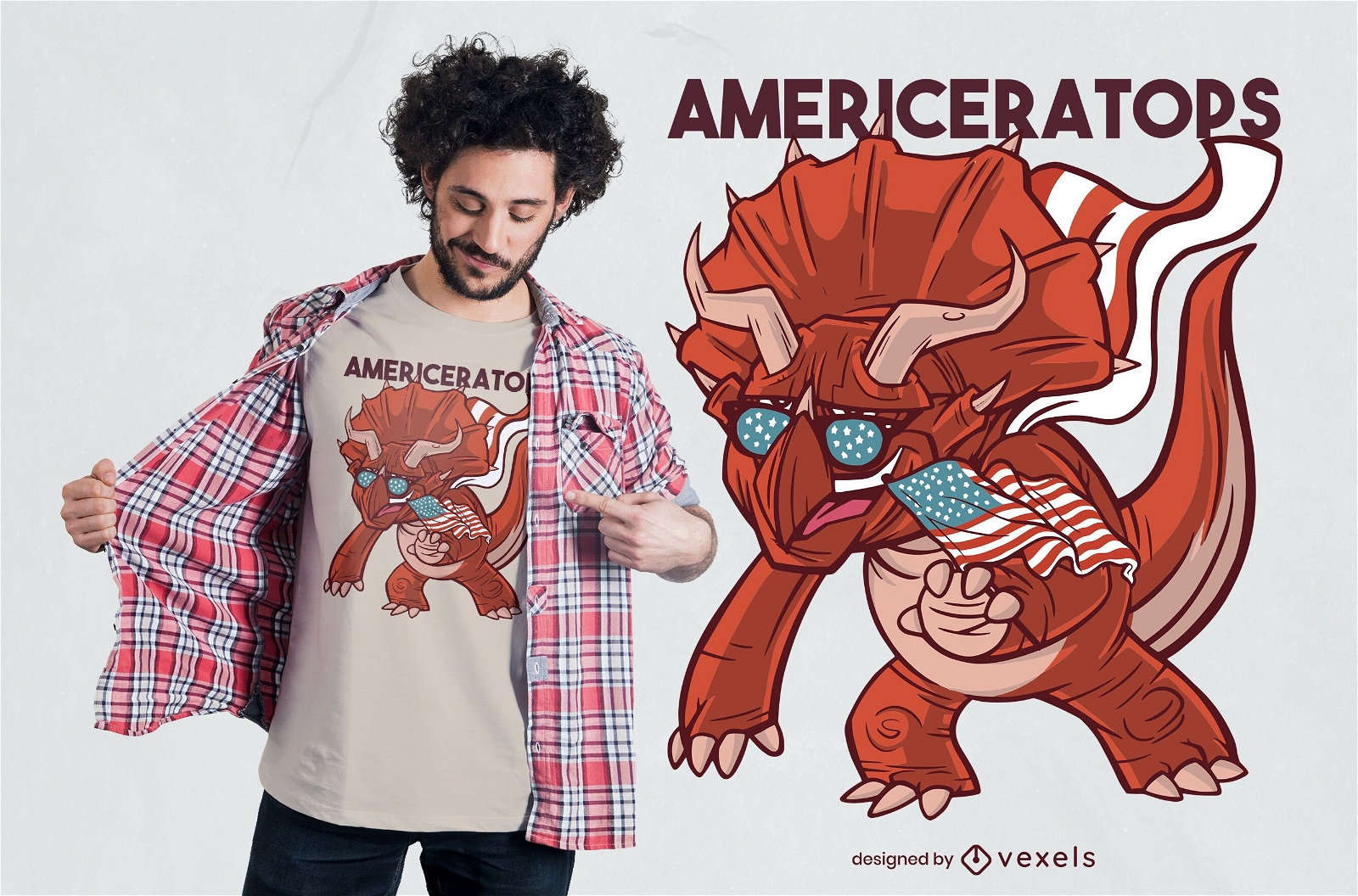
American Triceratops T-shirt Design
Choose a folder
All favorites
Create new
Save
American Triceratops T-shirt Design
Print ready
for Merch
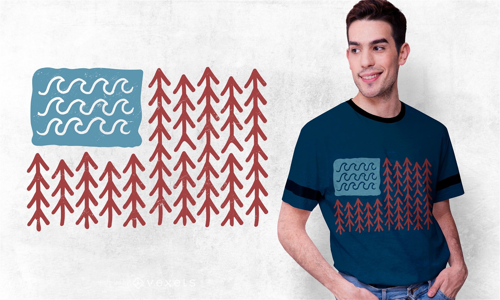
USA Nature Flag T-shirt Design
Choose a folder
All favorites
Create new
Save
USA Nature Flag T-shirt Design
for Merch
4th of July Illustration T-shirt Design
Choose a folder
All favorites
Create new
Save
4th of July Illustration T-shirt Design
Boost Your Business
With The Leading Graphic Platform For Merch.
SEE PLANS
Next
of 29
prev page
next page