Design Library
New Merch Designs
T-Shirts
Vectors
Trending Merch Designs
PNGs & SVGs
Mockups
T-Shirt PSD Templates
Explore Designs
KDP Designs
Posters
Mugs
Phone Cases
Tote Bags
Pillows
Design Tools
Merch Designer
New!
Mockup Generator
AI Design Generator
Image Vectorizer
Quote Generator
T-Shirt Maker (Old)
Resources
Merch Digest
Blog
Help Center
Learn About Merch
Feedback
Corporate Solutions
Enterprise
API Access
Design Studio
Bulk Design Production
Pricing
Loading...
Sign Up
Login
PNGs For Merch
unidos
Design Library
New Merch Designs
T-Shirts
Vectors
Trending Merch Designs
PNGs & SVGs
Mockups
T-Shirt PSD Templates
Explore Designs
KDP Designs
Posters
Mugs
Phone Cases
Tote Bags
Pillows
Design Tools
Merch Designer
New!
Mockup Generator
AI Design Generator
Image Vectorizer
Quote Generator
T-Shirt Maker (Old)
Resources
Merch Digest
Blog
Help Center
Learn About Merch
Feedback
Corporate Solutions
Enterprise
API Access
Design Studio
Bulk Design Production
PLANS
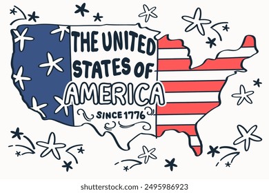
PNGs For Merch
unidos
1910 unidos PNG and SVG design graphic
Download unidos PNG & SVG Designs with transparent background for T-Shirts, book covers, phone cases and other merch.
Sort by
Most relevant
Sponsored results by
Get 15% off with code: VEXELS15
Show more
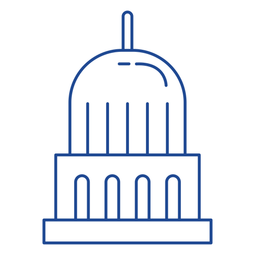
United states capitol stroke PNG Design
Choose a folder
All favorites
Create new
Save
United states capitol stroke PNG Design
Premium
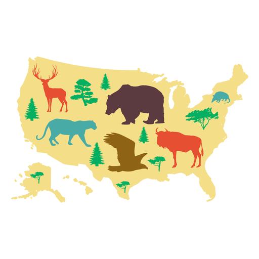
Usa map illustration PNG Design
Choose a folder
All favorites
Create new
Save
Usa map illustration PNG Design
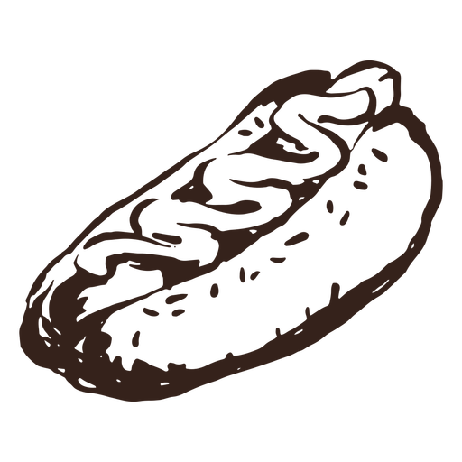
Hot dog hand drawn PNG Design
Choose a folder
All favorites
Create new
Save
Hot dog hand drawn PNG Design
Windmill hand drawn PNG Design
Choose a folder
All favorites
Create new
Save
Windmill hand drawn PNG Design
United states capitol icon PNG Design
Choose a folder
All favorites
Create new
Save
United states capitol icon PNG Design
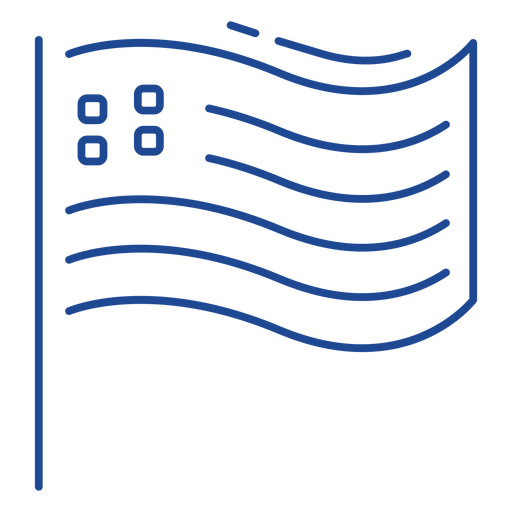
Patriotic usa flag stroke PNG Design
Choose a folder
All favorites
Create new
Save
Patriotic usa flag stroke PNG Design
Premium
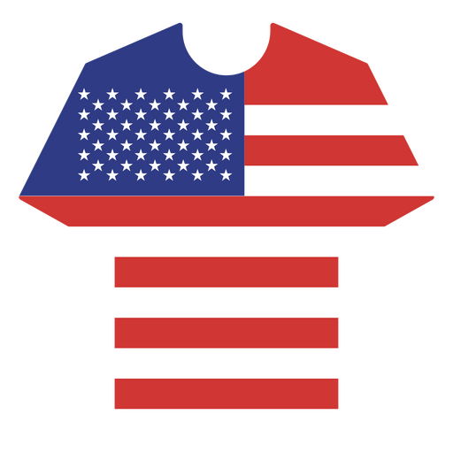
USA flag-inspired t-shirt PNG Design
Choose a folder
All favorites
Create new
Save
USA flag-inspired t-shirt PNG Design
United states flag stroke PNG Design
Choose a folder
All favorites
Create new
Save
United states flag stroke PNG Design
United states shorts icon PNG Design
Choose a folder
All favorites
Create new
Save
United states shorts icon PNG Design
United states shorts stroke PNG Design
Choose a folder
All favorites
Create new
Save
United states shorts stroke PNG Design
Usa balloon icon PNG Design
Choose a folder
All favorites
Create new
Save
Usa balloon icon PNG Design
Usa cockade stroke PNG Design
Choose a folder
All favorites
Create new
Save
Usa cockade stroke PNG Design
Premium
United we stand quote PNG Design
Choose a folder
All favorites
Create new
Save
United we stand quote PNG Design
Premium
Soccer fan of USA PNG Design
Choose a folder
All favorites
Create new
Save
Soccer fan of USA PNG Design
USA elements drink food character stroke PNG Design
Choose a folder
All favorites
Create new
Save
USA elements drink food character stroke PNG Design
USA elements hat stroke PNG Design
Choose a folder
All favorites
Create new
Save
USA elements hat stroke PNG Design
States mandala montana PNG Design
Choose a folder
All favorites
Create new
Save
States mandala montana PNG Design
United States Capitol cut out PNG Design
Choose a folder
All favorites
Create new
Save
United States Capitol cut out PNG Design
America united states badge PNG Design
Choose a folder
All favorites
Create new
Save
America united states badge PNG Design
USA american badge PNG Design
Choose a folder
All favorites
Create new
Save
USA american badge PNG Design
Usa color stroke PNG Design
Choose a folder
All favorites
Create new
Save
Usa color stroke PNG Design
USA love quote semi flat PNG Design
Choose a folder
All favorites
Create new
Save
USA love quote semi flat PNG Design
American burger hand drawn PNG Design
Choose a folder
All favorites
Create new
Save
American burger hand drawn PNG Design
United states patterned dress stroke PNG Design
Choose a folder
All favorites
Create new
Save
United states patterned dress stroke PNG Design
Usa flag in balloons flat PNG Design
Choose a folder
All favorites
Create new
Save
Usa flag in balloons flat PNG Design
United states capitol dome icon PNG Design
Choose a folder
All favorites
Create new
Save
United states capitol dome icon PNG Design
United states capitol dome stroke PNG Design
Choose a folder
All favorites
Create new
Save
United states capitol dome stroke PNG Design
Patriotic usa flag stroke element PNG Design
Choose a folder
All favorites
Create new
Save
Patriotic usa flag stroke element PNG Design
United states capitol element PNG Design
Choose a folder
All favorites
Create new
Save
United states capitol element PNG Design
Premium
New york city landmarks design PNG Design
Choose a folder
All favorites
Create new
Save
New york city landmarks design PNG Design
Usa tag PNG Design
Choose a folder
All favorites
Create new
Save
Usa tag PNG Design
Premium
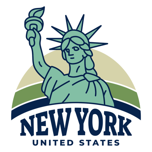
New york united states PNG Design
Choose a folder
All favorites
Create new
Save
New york united states PNG Design
Premium
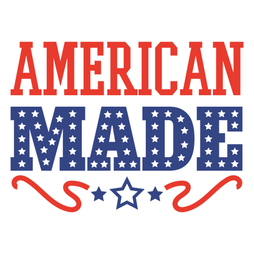
American made quote PNG Design
Choose a folder
All favorites
Create new
Save
American made quote PNG Design
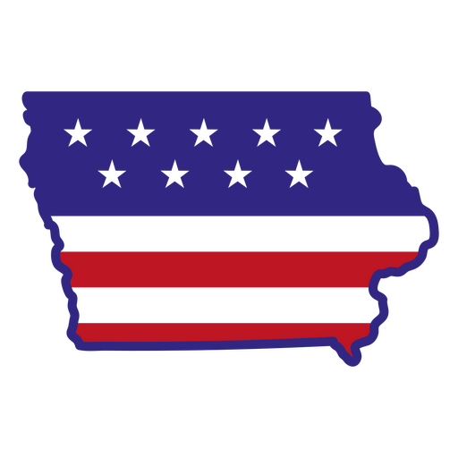
Iowa color stroke states PNG Design
Choose a folder
All favorites
Create new
Save
Iowa color stroke states PNG Design
Orange basketball hand drawn PNG Design
Choose a folder
All favorites
Create new
Save
Orange basketball hand drawn PNG Design
Premium
Skull bouquet with ribbon bow PNG Design
Choose a folder
All favorites
Create new
Save
Skull bouquet with ribbon bow PNG Design
Premium
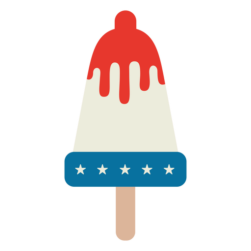
American flag ice cream design PNG Design
Choose a folder
All favorites
Create new
Save
American flag ice cream design PNG Design
Premium
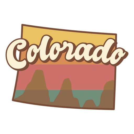
Colorado retro sunset usa states PNG Design
Choose a folder
All favorites
Create new
Save
Colorado retro sunset usa states PNG Design
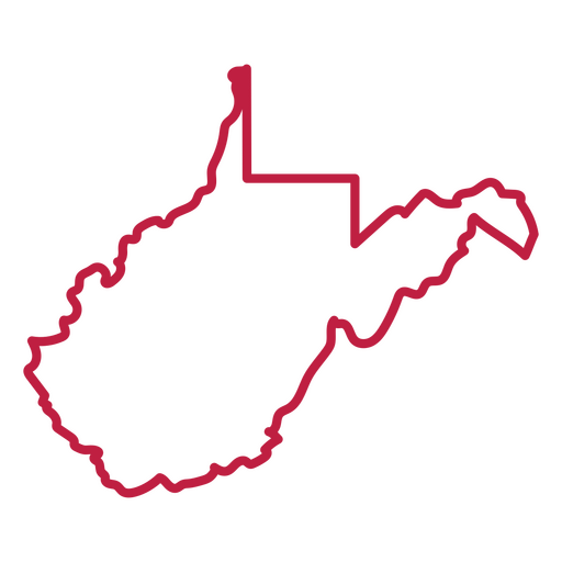
West Virginia state stroke map PNG Design
Choose a folder
All favorites
Create new
Save
West Virginia state stroke map PNG Design
Premium
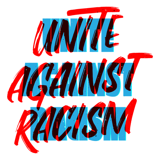
Unite against racism lettering PNG Design
Choose a folder
All favorites
Create new
Save
Unite against racism lettering PNG Design
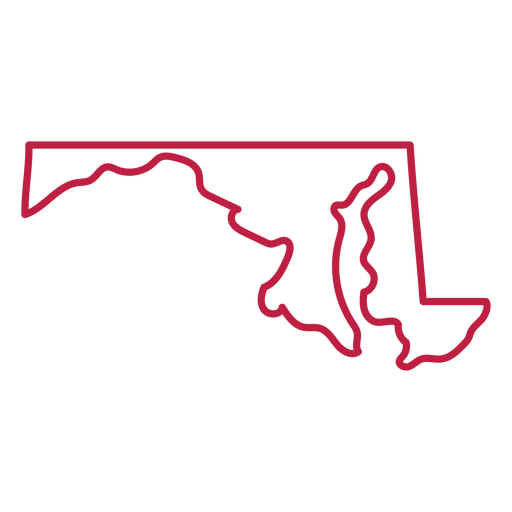
Maryland state stroke map PNG Design
Choose a folder
All favorites
Create new
Save
Maryland state stroke map PNG Design
Premium
Declaration of independence American Icons color stroke PNG Design
Choose a folder
All favorites
Create new
Save
Declaration of independence American Icons color stroke PNG Design
Premium
Uae flag language icon circle PNG Design
Choose a folder
All favorites
Create new
Save
Uae flag language icon circle PNG Design
June 4th calendar vintage PNG Design
Choose a folder
All favorites
Create new
Save
June 4th calendar vintage PNG Design
Premium
The state of virginia is shown PNG Design
Choose a folder
All favorites
Create new
Save
The state of virginia is shown PNG Design
Colorful pinwheel toy PNG Design
Choose a folder
All favorites
Create new
Save
Colorful pinwheel toy PNG Design
Stand together against climate change badge PNG Design
Choose a folder
All favorites
Create new
Save
Stand together against climate change badge PNG Design
Blue and red american ribbon PNG Design
Choose a folder
All favorites
Create new
Save
Blue and red american ribbon PNG Design
Premium
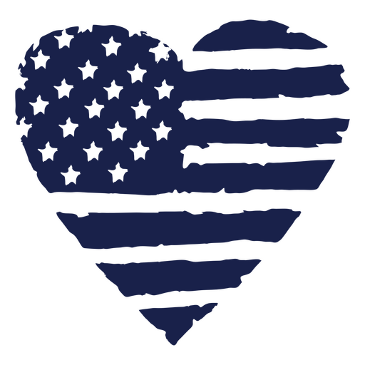
American flag heart PNG Design
Choose a folder
All favorites
Create new
Save
American flag heart PNG Design
Premium
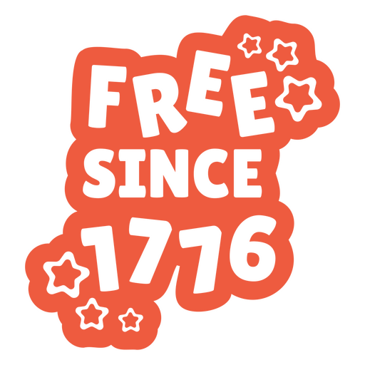
Free since 1776 quote PNG Design
Choose a folder
All favorites
Create new
Save
Free since 1776 quote PNG Design
Boost Your Business
With The Leading Graphic Platform For Merch.
SEE PLANS
Next
of 39
prev page
next page