Design Library
New Merch Designs
T-Shirts
Vectors
Trending Merch Designs
PNGs & SVGs
Mockups
T-Shirt PSD Templates
Explore Designs
KDP Designs
Posters
Mugs
Phone Cases
Tote Bags
Pillows
Design Tools
Merch Designer
New!
Mockup Generator
AI Design Generator
Image Vectorizer
Quote Generator
T-Shirt Maker (Old)
Resources
Merch Digest
Blog
Help Center
Learn About Merch
Feedback
Corporate Solutions
Enterprise
API Access
Design Studio
Bulk Design Production
Pricing
Loading...
Sign Up
Login
PNGs For Merch
state
map
Design Library
New Merch Designs
T-Shirts
Vectors
Trending Merch Designs
PNGs & SVGs
Mockups
T-Shirt PSD Templates
Explore Designs
KDP Designs
Posters
Mugs
Phone Cases
Tote Bags
Pillows
Design Tools
Merch Designer
New!
Mockup Generator
AI Design Generator
Image Vectorizer
Quote Generator
T-Shirt Maker (Old)
Resources
Merch Digest
Blog
Help Center
Learn About Merch
Feedback
Corporate Solutions
Enterprise
API Access
Design Studio
Bulk Design Production
PLANS
PNGs For Merch
state
map
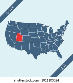
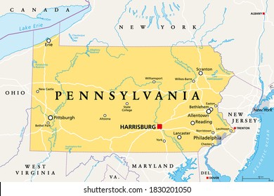
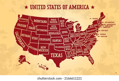
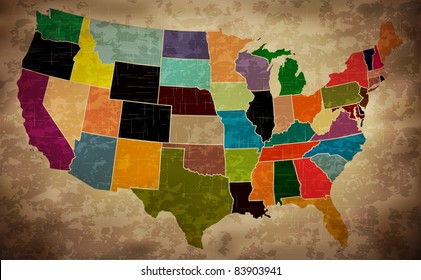
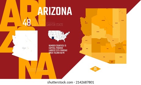
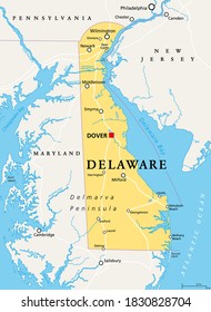
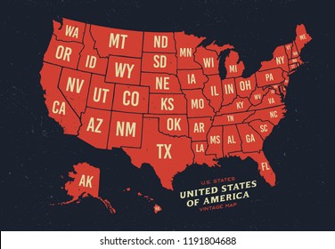
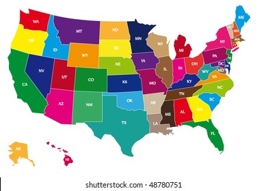
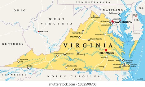
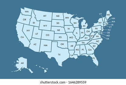
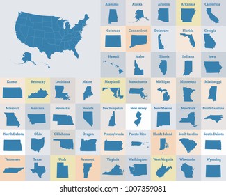
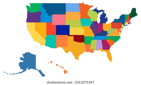
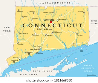
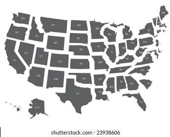
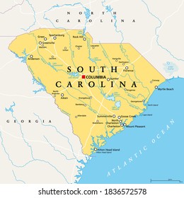
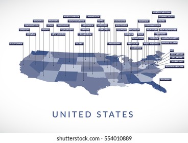
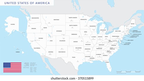
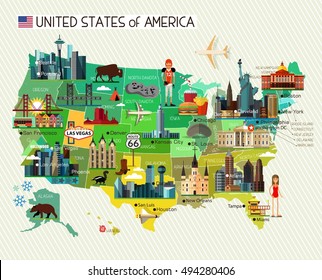
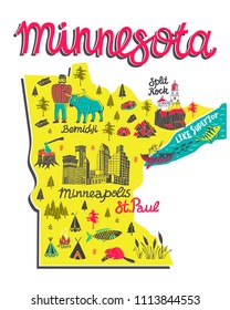
495 state map PNG and SVG design graphic
Download state map PNG & SVG Designs with transparent background for T-Shirts, book covers, phone cases and other merch.
Sort by
Most relevant
Sponsored results by
Get 15% off with code: VEXELS15
Show more
Premium
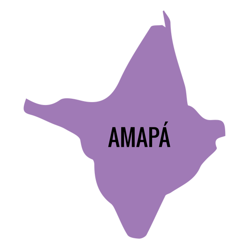
Amapa state map PNG Design
Choose a folder
All favorites
Create new
Save
Amapa state map PNG Design
Premium
Mexico city state map PNG Design
Choose a folder
All favorites
Create new
Save
Mexico city state map PNG Design
Premium
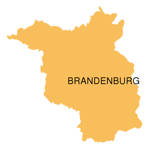
Brandenburg state map PNG Design
Choose a folder
All favorites
Create new
Save
Brandenburg state map PNG Design
Premium
Sikkim state map PNG Design
Choose a folder
All favorites
Create new
Save
Sikkim state map PNG Design
Premium
Tasmania state map PNG Design
Choose a folder
All favorites
Create new
Save
Tasmania state map PNG Design
Premium
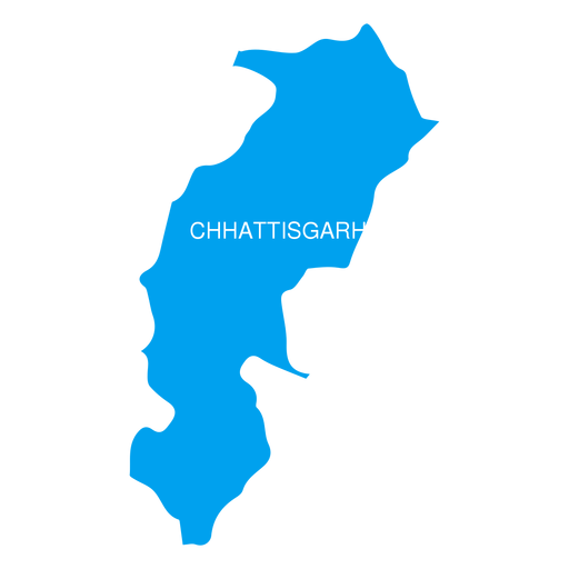
Chhattisgarh state map PNG Design
Choose a folder
All favorites
Create new
Save
Chhattisgarh state map PNG Design
Premium
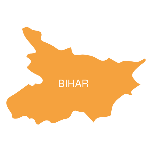
Bihar state map PNG Design
Choose a folder
All favorites
Create new
Save
Bihar state map PNG Design
Premium
Mizoram state map PNG Design
Choose a folder
All favorites
Create new
Save
Mizoram state map PNG Design
Premium
Nagaland state map PNG Design
Choose a folder
All favorites
Create new
Save
Nagaland state map PNG Design
Premium
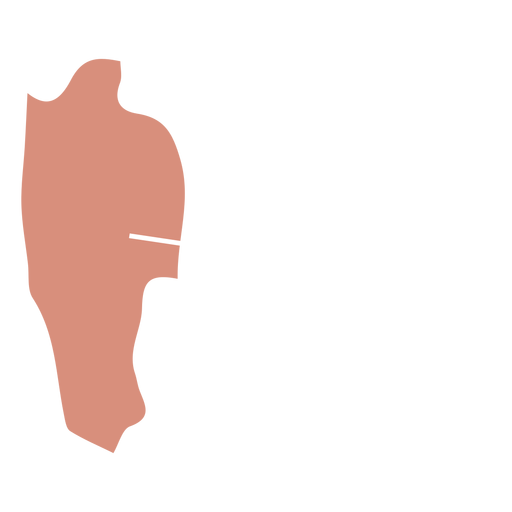
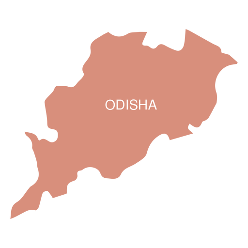
Odisha state map PNG Design
Choose a folder
All favorites
Create new
Save
Odisha state map PNG Design
Premium
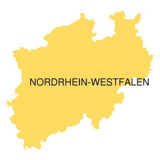
North rhine westfalia state map PNG Design
Choose a folder
All favorites
Create new
Save
North rhine westfalia state map PNG Design
Premium
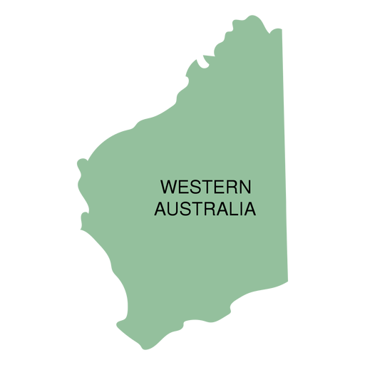
Western australia state map PNG Design
Choose a folder
All favorites
Create new
Save
Western australia state map PNG Design
Premium
Federal district brasilia state map PNG Design
Choose a folder
All favorites
Create new
Save
Federal district brasilia state map PNG Design
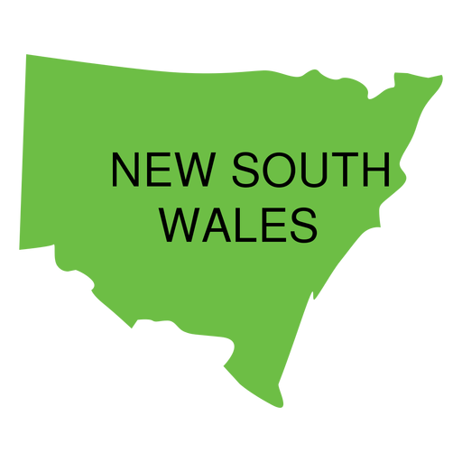
Premium
New south wales state map PNG Design
Choose a folder
All favorites
Create new
Save
New south wales state map PNG Design
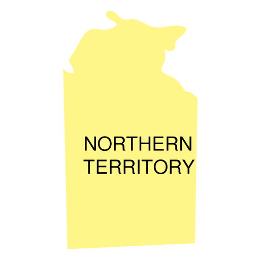
Premium
Northern territory state map PNG Design
Choose a folder
All favorites
Create new
Save
Northern territory state map PNG Design
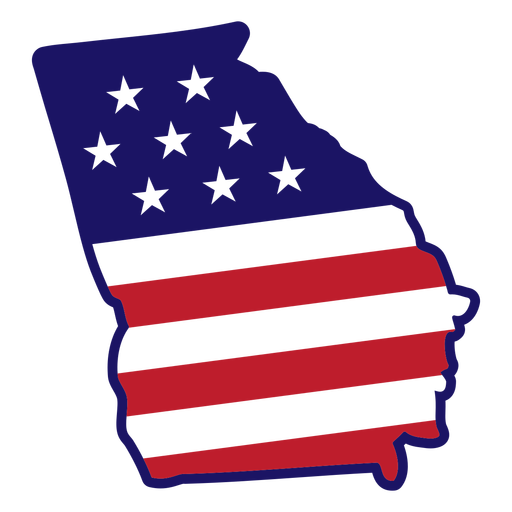
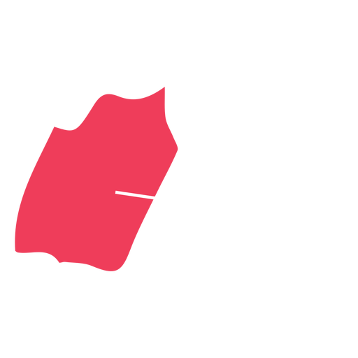
Georgia state map color stroke PNG Design
Choose a folder
All favorites
Create new
Save
Georgia state map color stroke PNG Design
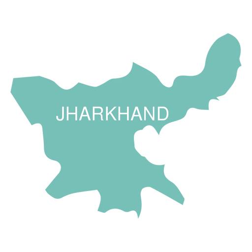
Premium
Jharkhand state map PNG Design
Choose a folder
All favorites
Create new
Save
Jharkhand state map PNG Design
Premium
Manipur state map PNG Design
Choose a folder
All favorites
Create new
Save
Manipur state map PNG Design
Premium
Meghalaya state map PNG Design
Choose a folder
All favorites
Create new
Save
Meghalaya state map PNG Design
Premium
Goa state map PNG Design
Choose a folder
All favorites
Create new
Save
Goa state map PNG Design
Premium
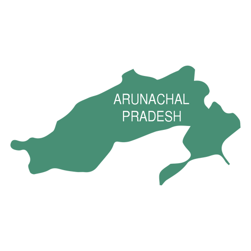
Arunachal pradesh state map PNG Design
Choose a folder
All favorites
Create new
Save
Arunachal pradesh state map PNG Design
Premium
Tripura state map PNG Design
Choose a folder
All favorites
Create new
Save
Tripura state map PNG Design
Premium
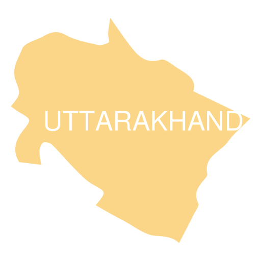
Uttarakhand state map PNG Design
Choose a folder
All favorites
Create new
Save
Uttarakhand state map PNG Design
Premium
South australia state map PNG Design
Choose a folder
All favorites
Create new
Save
South australia state map PNG Design
Premium
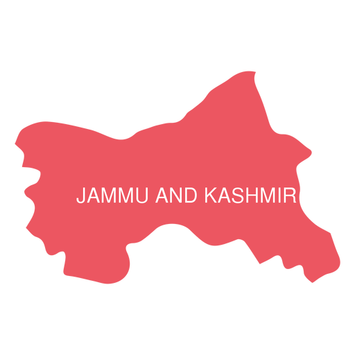
Jammu and kashmir state map PNG Design
Choose a folder
All favorites
Create new
Save
Jammu and kashmir state map PNG Design
Premium
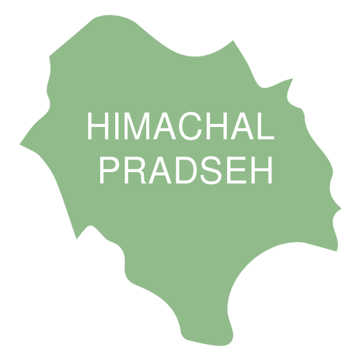
Himachal pradesh state map PNG Design
Choose a folder
All favorites
Create new
Save
Himachal pradesh state map PNG Design
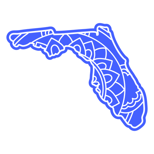
Florida state map mandala PNG Design
Choose a folder
All favorites
Create new
Save
Florida state map mandala PNG Design
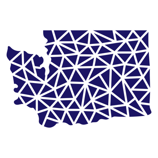
Polygonal Washington State Map PNG Design
Choose a folder
All favorites
Create new
Save
Polygonal Washington State Map PNG Design
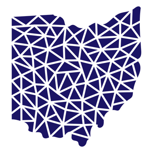
Polygonal Ohio State Map PNG Design
Choose a folder
All favorites
Create new
Save
Polygonal Ohio State Map PNG Design
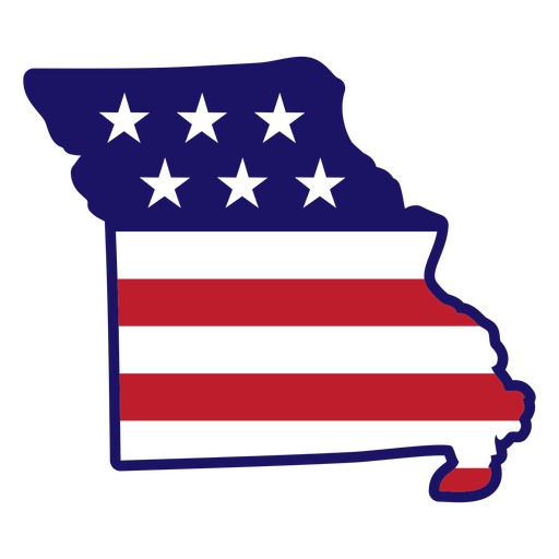
Missouri state map color stroke PNG Design
Choose a folder
All favorites
Create new
Save
Missouri state map color stroke PNG Design
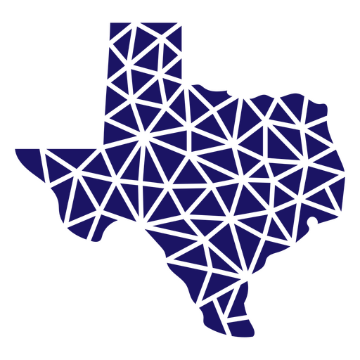
Polygonal Texas State Map PNG Design
Choose a folder
All favorites
Create new
Save
Polygonal Texas State Map PNG Design
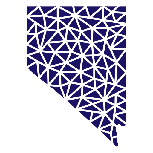
Polygonal Nevada State Map PNG Design
Choose a folder
All favorites
Create new
Save
Polygonal Nevada State Map PNG Design
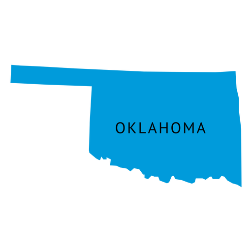
Polygonal Oklahoma State Map PNG Design
Choose a folder
All favorites
Create new
Save
Polygonal Oklahoma State Map PNG Design
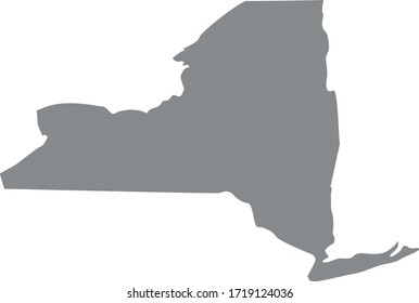
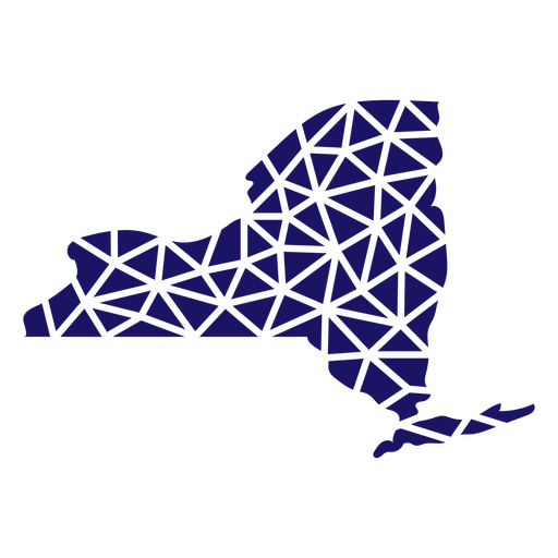
Polygonal New York State Map PNG Design
Choose a folder
All favorites
Create new
Save
Polygonal New York State Map PNG Design
Polygonal Wyoming State Map PNG Design
Choose a folder
All favorites
Create new
Save
Polygonal Wyoming State Map PNG Design
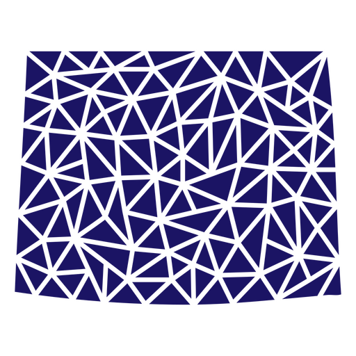
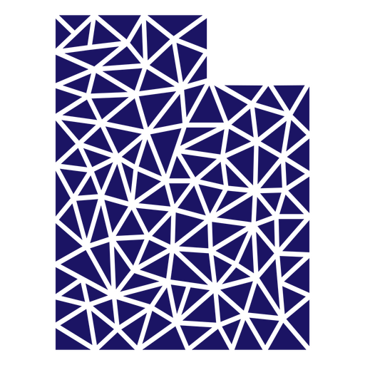
Polygonal Utah State Map PNG Design
Choose a folder
All favorites
Create new
Save
Polygonal Utah State Map PNG Design
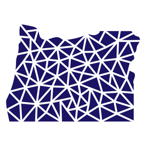
Polygonal Oregon State Map PNG Design
Choose a folder
All favorites
Create new
Save
Polygonal Oregon State Map PNG Design
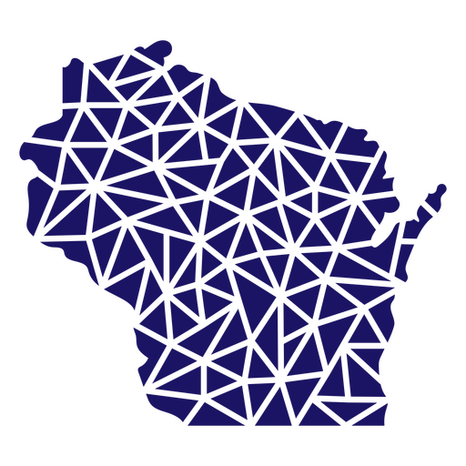
Polygonal Wisconsin State Map PNG Design
Choose a folder
All favorites
Create new
Save
Polygonal Wisconsin State Map PNG Design
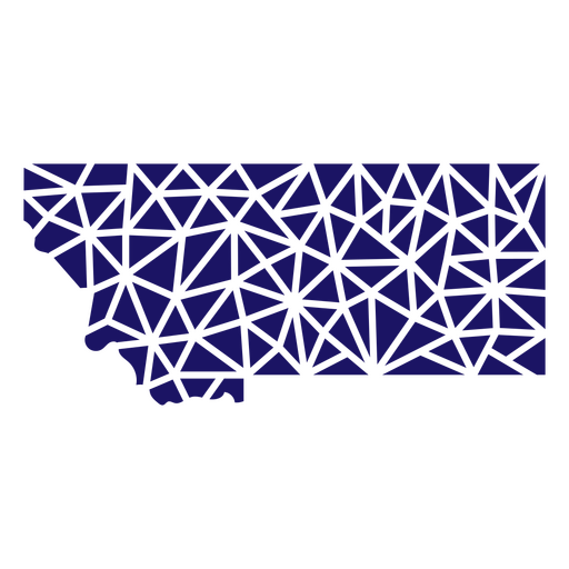
Polygonal Montana State Map PNG Design
Choose a folder
All favorites
Create new
Save
Polygonal Montana State Map PNG Design
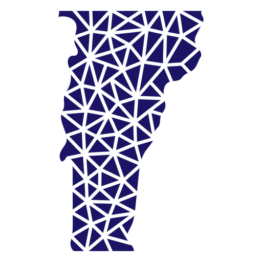
Polygonal Vermont State Map PNG Design
Choose a folder
All favorites
Create new
Save
Polygonal Vermont State Map PNG Design
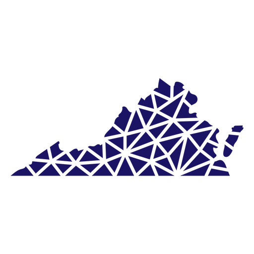
Polygonal Virginia State Map PNG Design
Choose a folder
All favorites
Create new
Save
Polygonal Virginia State Map PNG Design
Polygonal Nebraska State Map PNG Design
Choose a folder
All favorites
Create new
Save
Polygonal Nebraska State Map PNG Design
Polygonal Tennessee State Map PNG Design
Choose a folder
All favorites
Create new
Save
Polygonal Tennessee State Map PNG Design
Polygonal Kansas State Map PNG Design
Choose a folder
All favorites
Create new
Save
Polygonal Kansas State Map PNG Design
Premium
The state of oklahoma retro PNG Design
Choose a folder
All favorites
Create new
Save
The state of oklahoma retro PNG Design
Premium
Oklahoma state plain map PNG Design
Choose a folder
All favorites
Create new
Save
Oklahoma state plain map PNG Design
Premium
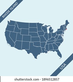
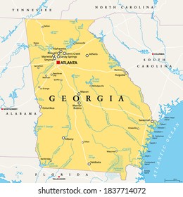
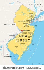
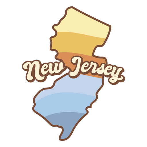
Map of new jersey with the words new jersey on it PNG Design
Choose a folder
All favorites
Create new
Save
Map of new jersey with the words new jersey on it PNG Design
Premium
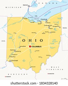
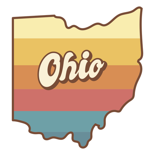
The state of ohio with a colorful background PNG Design
Choose a folder
All favorites
Create new
Save
The state of ohio with a colorful background PNG Design
Premium
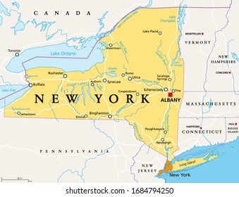
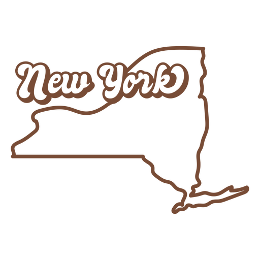
The new york state is shown in brown PNG Design
Choose a folder
All favorites
Create new
Save
The new york state is shown in brown PNG Design
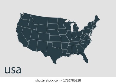
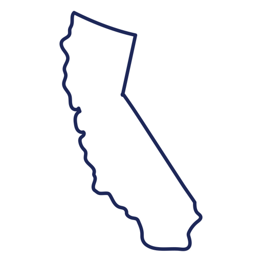
California usa map stroke PNG Design
Choose a folder
All favorites
Create new
Save
California usa map stroke PNG Design
Boost Your Business
With The Leading Graphic Platform For Merch.
SEE PLANS
Next
of 10
prev page
next page