Design Library
New Merch Designs
T-Shirts
Vectors
Trending Merch Designs
PNGs & SVGs
Mockups
T-Shirt PSD Templates
Explore Designs
KDP Designs
Posters
Mugs
Phone Cases
Tote Bags
Pillows
Design Tools
Merch Designer
New!
Mockup Generator
AI Design Generator
Image Vectorizer
Quote Generator
T-Shirt Maker (Old)
Resources
Merch Digest
Blog
Help Center
Learn About Merch
Feedback
Corporate Solutions
Enterprise
API Access
Design Studio
Bulk Design Production
Pricing
Loading...
Sign Up
Login
PNGs For Merch
south
america
Design Library
New Merch Designs
T-Shirts
Vectors
Trending Merch Designs
PNGs & SVGs
Mockups
T-Shirt PSD Templates
Explore Designs
KDP Designs
Posters
Mugs
Phone Cases
Tote Bags
Pillows
Design Tools
Merch Designer
New!
Mockup Generator
AI Design Generator
Image Vectorizer
Quote Generator
T-Shirt Maker (Old)
Resources
Merch Digest
Blog
Help Center
Learn About Merch
Feedback
Corporate Solutions
Enterprise
API Access
Design Studio
Bulk Design Production
PLANS
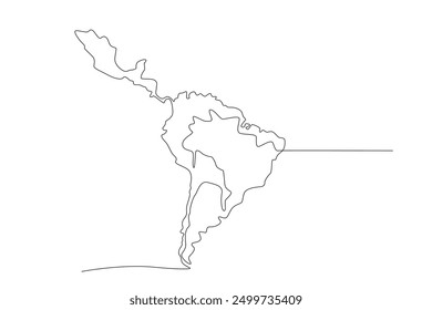
PNGs For Merch
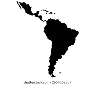
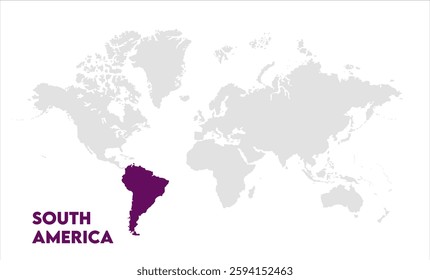
south
america
84 south america PNG and SVG design graphic
Download south america PNG & SVG Designs with transparent background for T-Shirts, book covers, phone cases and other merch.
Related:
south american
,
western south america
,
south american football
Sort by
Most relevant
Sponsored results by
Get 15% off with code: VEXELS15
Show more
Uruguay drum candombe hand drawn PNG Design
Choose a folder
All favorites
Create new
Save
Uruguay drum candombe hand drawn PNG Design
Uruguay drum candombe stroke PNG Design
Choose a folder
All favorites
Create new
Save
Uruguay drum candombe stroke PNG Design
Uruguay drum candombe PNG Design
Choose a folder
All favorites
Create new
Save
Uruguay drum candombe PNG Design
Premium
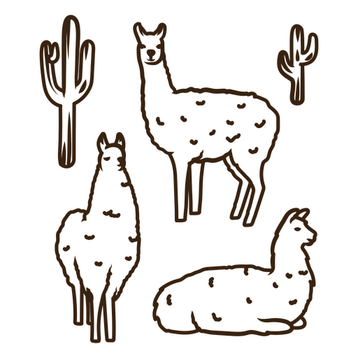
Four llamas and cactus PNG Design
Choose a folder
All favorites
Create new
Save
Four llamas and cactus PNG Design
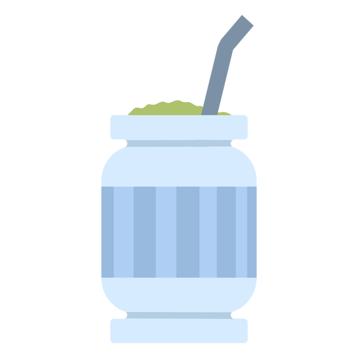
Semi flat mate drink PNG Design
Choose a folder
All favorites
Create new
Save
Semi flat mate drink PNG Design
Argentina ornament badge PNG Design
Choose a folder
All favorites
Create new
Save
Argentina ornament badge PNG Design
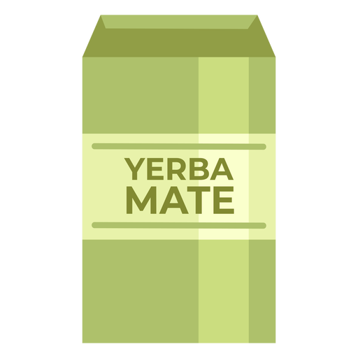
Yerba mate drink package PNG Design
Choose a folder
All favorites
Create new
Save
Yerba mate drink package PNG Design
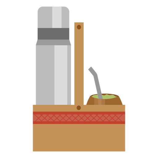
Mate and thermic bottle set semi flat PNG Design
Choose a folder
All favorites
Create new
Save
Mate and thermic bottle set semi flat PNG Design
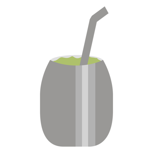
Simple semi flat mate drink PNG Design
Choose a folder
All favorites
Create new
Save
Simple semi flat mate drink PNG Design
Semi flat simple mate drink PNG Design
Choose a folder
All favorites
Create new
Save
Semi flat simple mate drink PNG Design
Uruguay building palacio salvo hand drawn PNG Design
Choose a folder
All favorites
Create new
Save
Uruguay building palacio salvo hand drawn PNG Design
Uruguay building palacio salvo stroke PNG Design
Choose a folder
All favorites
Create new
Save
Uruguay building palacio salvo stroke PNG Design
Uruguay tero bird PNG Design
Choose a folder
All favorites
Create new
Save
Uruguay tero bird PNG Design
Premium
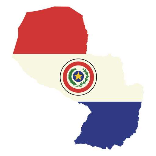
Stylish paraguay flag map design PNG Design
Choose a folder
All favorites
Create new
Save
Stylish paraguay flag map design PNG Design
Semi flat metal mate drink PNG Design
Choose a folder
All favorites
Create new
Save
Semi flat metal mate drink PNG Design
Uruguay building palacio salvo PNG Design
Choose a folder
All favorites
Create new
Save
Uruguay building palacio salvo PNG Design
South american soccer championship badge emblem flat PNG Design
Choose a folder
All favorites
Create new
Save
South american soccer championship badge emblem flat PNG Design
Premium
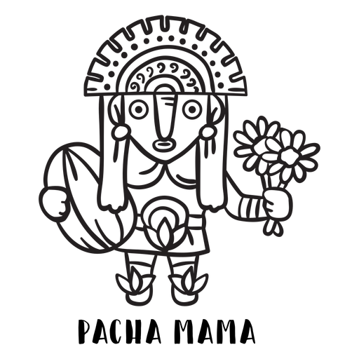
Pacha mama inca mtyhology outline PNG Design
Choose a folder
All favorites
Create new
Save
Pacha mama inca mtyhology outline PNG Design
Premium
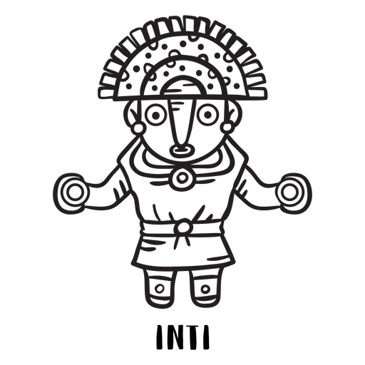
Inti inca mtyhology outline PNG Design
Choose a folder
All favorites
Create new
Save
Inti inca mtyhology outline PNG Design
Premium
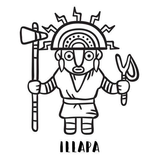
Illapa inca mtyhology outline PNG Design
Choose a folder
All favorites
Create new
Save
Illapa inca mtyhology outline PNG Design
Premium
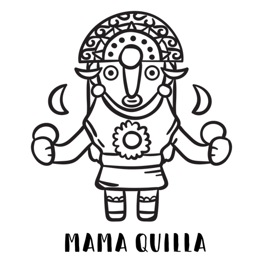
Mama quilla inca mtyhology outline PNG Design
Choose a folder
All favorites
Create new
Save
Mama quilla inca mtyhology outline PNG Design
Premium
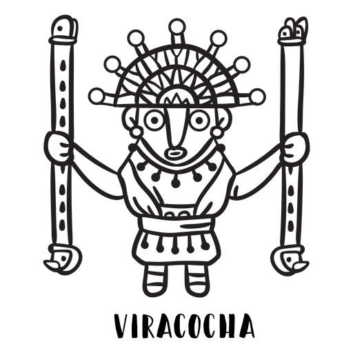
Viracocha inca mtyhology outline PNG Design
Choose a folder
All favorites
Create new
Save
Viracocha inca mtyhology outline PNG Design
Premium
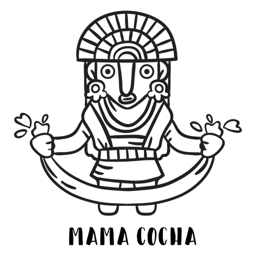
Mama cocha inca mtyhology outline PNG Design
Choose a folder
All favorites
Create new
Save
Mama cocha inca mtyhology outline PNG Design
Premium
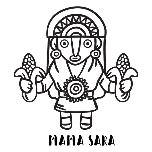
Mama sara inca mtyhology outline PNG Design
Choose a folder
All favorites
Create new
Save
Mama sara inca mtyhology outline PNG Design
Premium
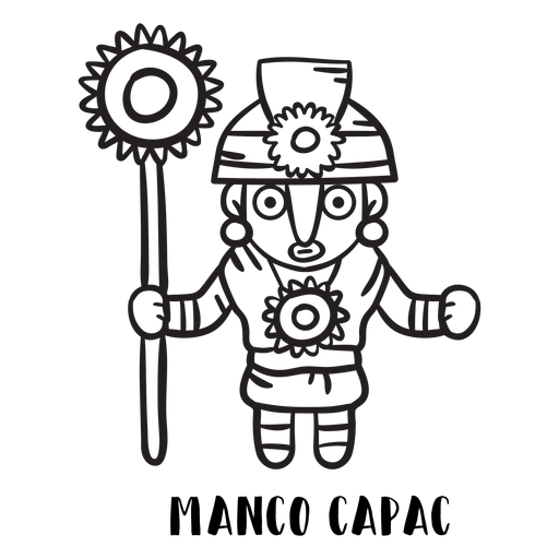
Manco capac inca mtyhology outline PNG Design
Choose a folder
All favorites
Create new
Save
Manco capac inca mtyhology outline PNG Design
Toco toucan perch branch stroke PNG Design
Choose a folder
All favorites
Create new
Save
Toco toucan perch branch stroke PNG Design
Premium
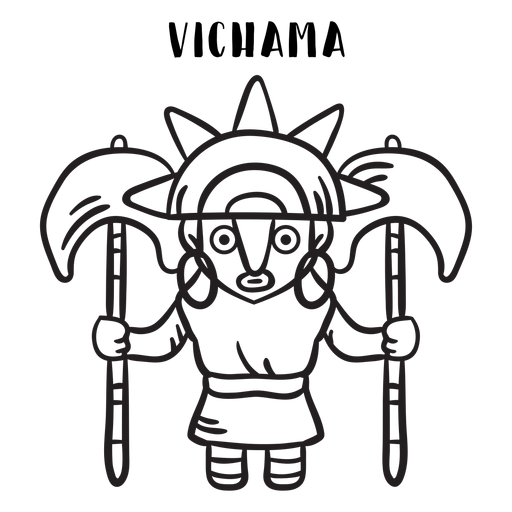
Vichama inca mtyhology outline PNG Design
Choose a folder
All favorites
Create new
Save
Vichama inca mtyhology outline PNG Design
Premium
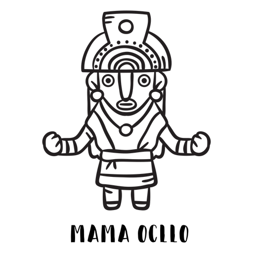
Mama ocllo inca mtyhology outline PNG Design
Choose a folder
All favorites
Create new
Save
Mama ocllo inca mtyhology outline PNG Design
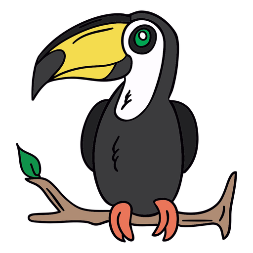
Toucan perch branch hand drawn PNG Design
Choose a folder
All favorites
Create new
Save
Toucan perch branch hand drawn PNG Design
Toco toucan perch branch black PNG Design
Choose a folder
All favorites
Create new
Save
Toco toucan perch branch black PNG Design
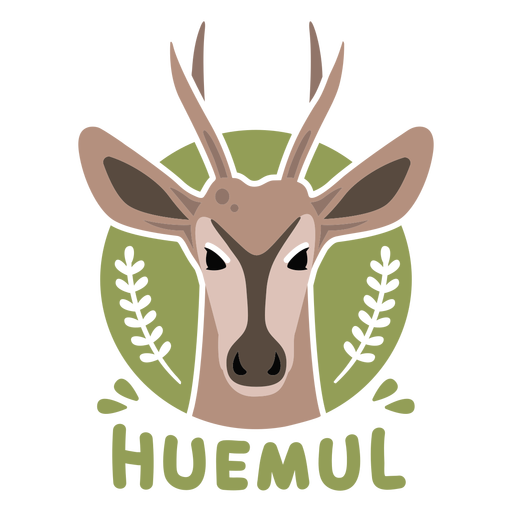
Chilean huemul flat PNG Design
Choose a folder
All favorites
Create new
Save
Chilean huemul flat PNG Design
Premium
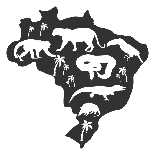
Brazil silhouette map PNG Design
Choose a folder
All favorites
Create new
Save
Brazil silhouette map PNG Design
Chilean huemul monochrome PNG Design
Choose a folder
All favorites
Create new
Save
Chilean huemul monochrome PNG Design
Premium
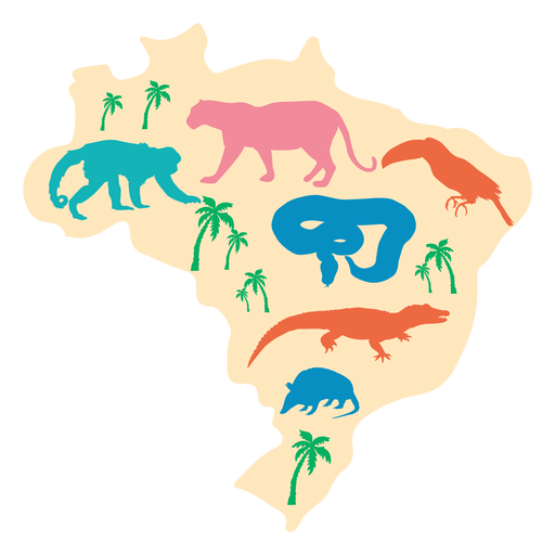
Brazil map illustration PNG Design
Choose a folder
All favorites
Create new
Save
Brazil map illustration PNG Design
Boost Your Business
With The Leading Graphic Platform For Merch.
SEE PLANS
of 2
prev page
next page