Design Library
New Merch Designs
T-Shirts
Vectors
Trending Merch Designs
PNGs & SVGs
Mockups
T-Shirt PSD Templates
Explore Designs
KDP Designs
Posters
Mugs
Phone Cases
Tote Bags
Pillows
Design Tools
Merch Designer
New!
Mockup Generator
AI Design Generator
Image Vectorizer
Quote Generator
T-Shirt Maker (Old)
Resources
Merch Digest
Blog
Help Center
Learn About Merch
Feedback
Corporate Solutions
Enterprise
API Access
Design Studio
Bulk Design Production
Pricing
Loading...
Sign Up
Login
PNGs For Merch
maps
Design Library
New Merch Designs
T-Shirts
Vectors
Trending Merch Designs
PNGs & SVGs
Mockups
T-Shirt PSD Templates
Explore Designs
KDP Designs
Posters
Mugs
Phone Cases
Tote Bags
Pillows
Design Tools
Merch Designer
New!
Mockup Generator
AI Design Generator
Image Vectorizer
Quote Generator
T-Shirt Maker (Old)
Resources
Merch Digest
Blog
Help Center
Learn About Merch
Feedback
Corporate Solutions
Enterprise
API Access
Design Studio
Bulk Design Production
PLANS
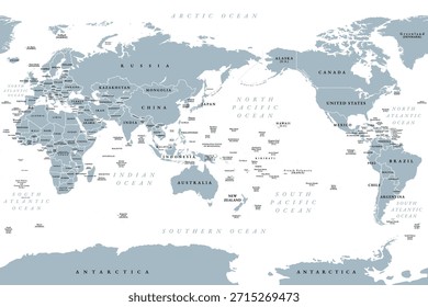
PNGs For Merch
maps
4899 maps PNG and SVG design graphic
Download maps PNG & SVG Designs with transparent background for T-Shirts, book covers, phone cases and other merch.
Related:
world maps
,
base maps
,
world livestock maps
Sort by
Most relevant
Sponsored results by
Get 15% off with code: VEXELS15
Show more
Premium
Sheriff badge icon PNG Design
Choose a folder
All favorites
Create new
Save
Sheriff badge icon PNG Design
Premium
Earth drop shadow icon PNG Design
Choose a folder
All favorites
Create new
Save
Earth drop shadow icon PNG Design
Premium
Earth globe flat icon PNG Design
Choose a folder
All favorites
Create new
Save
Earth globe flat icon PNG Design
Premium
Tall hand drawn house icon PNG Design
Choose a folder
All favorites
Create new
Save
Tall hand drawn house icon PNG Design
Premium
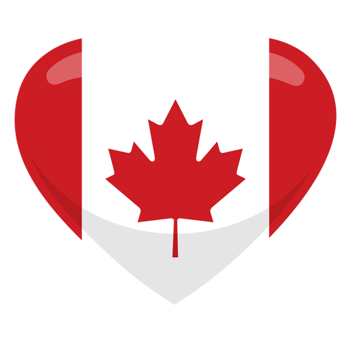
Canada heart flag heart flag PNG Design
Choose a folder
All favorites
Create new
Save
Canada heart flag heart flag PNG Design
Premium
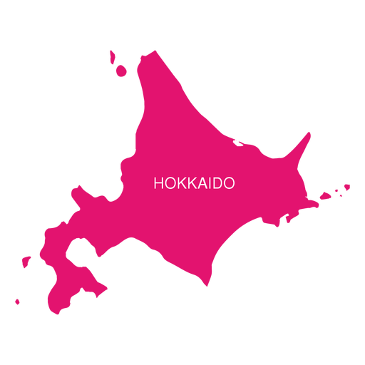
Hokkaido region map PNG Design
Choose a folder
All favorites
Create new
Save
Hokkaido region map PNG Design
Premium
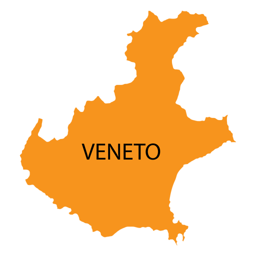
Veneto region map PNG Design
Choose a folder
All favorites
Create new
Save
Veneto region map PNG Design
Premium
Gravel rock PNG Design
Choose a folder
All favorites
Create new
Save
Gravel rock PNG Design
Premium
Colorful curves orbit icon PNG Design
Choose a folder
All favorites
Create new
Save
Colorful curves orbit icon PNG Design
Premium
Compass hunting map hunt PNG Design
Choose a folder
All favorites
Create new
Save
Compass hunting map hunt PNG Design
Premium
Hon kong national flag PNG Design
Choose a folder
All favorites
Create new
Save
Hon kong national flag PNG Design
Premium
Karakalpakstan national flag PNG Design
Choose a folder
All favorites
Create new
Save
Karakalpakstan national flag PNG Design
Premium
Komi national flag PNG Design
Choose a folder
All favorites
Create new
Save
Komi national flag PNG Design
Premium
Ladonia national flag PNG Design
Choose a folder
All favorites
Create new
Save
Ladonia national flag PNG Design
Premium
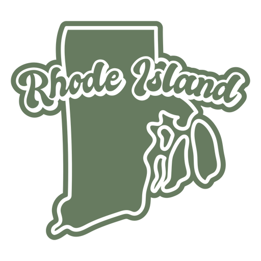
Rhode island green map outline PNG Design
Choose a folder
All favorites
Create new
Save
Rhode island green map outline PNG Design
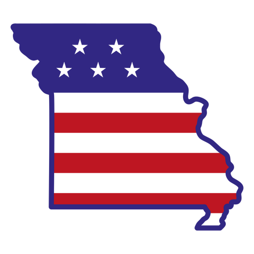
Missouri color stroke states PNG Design
Choose a folder
All favorites
Create new
Save
Missouri color stroke states PNG Design
North Dakota usa map silhouette PNG Design
Choose a folder
All favorites
Create new
Save
North Dakota usa map silhouette PNG Design
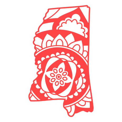
Mississippi state mandala map stroke PNG Design
Choose a folder
All favorites
Create new
Save
Mississippi state mandala map stroke PNG Design
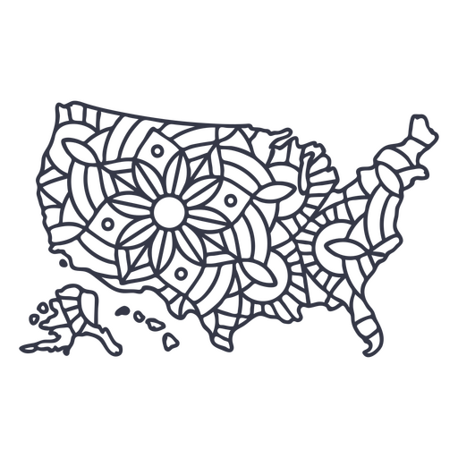
USA map silhouette mandala stroke PNG Design
Choose a folder
All favorites
Create new
Save
USA map silhouette mandala stroke PNG Design
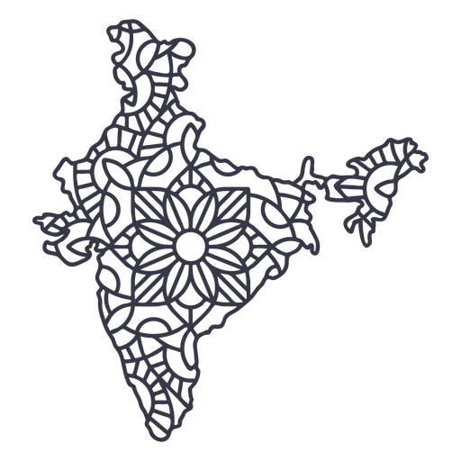
India map silhouette mandala stroke PNG Design
Choose a folder
All favorites
Create new
Save
India map silhouette mandala stroke PNG Design
Mail box packages semi flat PNG Design
Choose a folder
All favorites
Create new
Save
Mail box packages semi flat PNG Design
Mental health is a priority color stroke PNG Design
Choose a folder
All favorites
Create new
Save
Mental health is a priority color stroke PNG Design
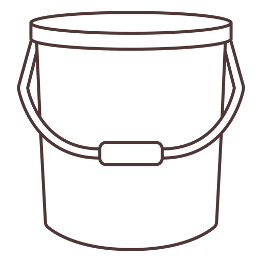
Cleaning bucket stroke PNG Design
Choose a folder
All favorites
Create new
Save
Cleaning bucket stroke PNG Design
Royal crown color stroke PNG Design
Choose a folder
All favorites
Create new
Save
Royal crown color stroke PNG Design
Organic teacup design filled stroke PNG Design
Choose a folder
All favorites
Create new
Save
Organic teacup design filled stroke PNG Design
Hand whisk filled stroke PNG Design
Choose a folder
All favorites
Create new
Save
Hand whisk filled stroke PNG Design
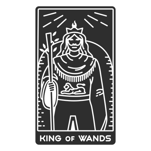
Tarot card king of wands cut out PNG Design
Choose a folder
All favorites
Create new
Save
Tarot card king of wands cut out PNG Design
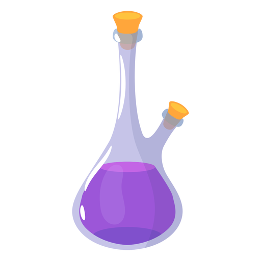
Magic purple potion PNG Design
Choose a folder
All favorites
Create new
Save
Magic purple potion PNG Design
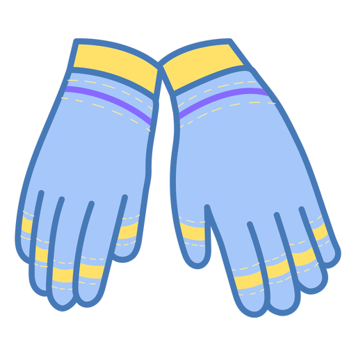
Cleaning gloves color stroke PNG Design
Choose a folder
All favorites
Create new
Save
Cleaning gloves color stroke PNG Design
Note in a bottle color stroke PNG Design
Choose a folder
All favorites
Create new
Save
Note in a bottle color stroke PNG Design
Two ropes knot color stroke PNG Design
Choose a folder
All favorites
Create new
Save
Two ropes knot color stroke PNG Design
Angel falls venezuela flat PNG Design
Choose a folder
All favorites
Create new
Save
Angel falls venezuela flat PNG Design
Baleada honduras stroke PNG Design
Choose a folder
All favorites
Create new
Save
Baleada honduras stroke PNG Design
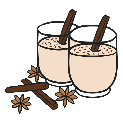
Guatemala rompope flat PNG Design
Choose a folder
All favorites
Create new
Save
Guatemala rompope flat PNG Design
Paraguay harp stroke PNG Design
Choose a folder
All favorites
Create new
Save
Paraguay harp stroke PNG Design
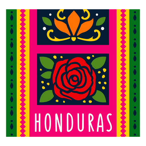
Textile pattern honduras illustration PNG Design
Choose a folder
All favorites
Create new
Save
Textile pattern honduras illustration PNG Design
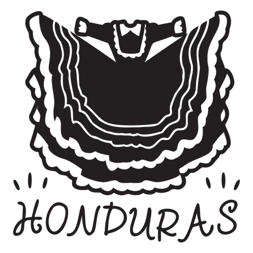
Traditional honduras dress PNG Design
Choose a folder
All favorites
Create new
Save
Traditional honduras dress PNG Design
Blue neptune simple solar system planet PNG Design
Choose a folder
All favorites
Create new
Save
Blue neptune simple solar system planet PNG Design
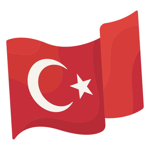
Waving flag istanbul illustration PNG Design
Choose a folder
All favorites
Create new
Save
Waving flag istanbul illustration PNG Design
Reindeer snow globe PNG Design
Choose a folder
All favorites
Create new
Save
Reindeer snow globe PNG Design
Winter house snow globe PNG Design
Choose a folder
All favorites
Create new
Save
Winter house snow globe PNG Design
The earth laughs in flowers badge PNG Design
Choose a folder
All favorites
Create new
Save
The earth laughs in flowers badge PNG Design
World globe flat icon PNG Design
Choose a folder
All favorites
Create new
Save
World globe flat icon PNG Design
Premium
Japan flag language icon PNG Design
Choose a folder
All favorites
Create new
Save
Japan flag language icon PNG Design
Premium
Uae flag language icon PNG Design
Choose a folder
All favorites
Create new
Save
Uae flag language icon PNG Design
Premium
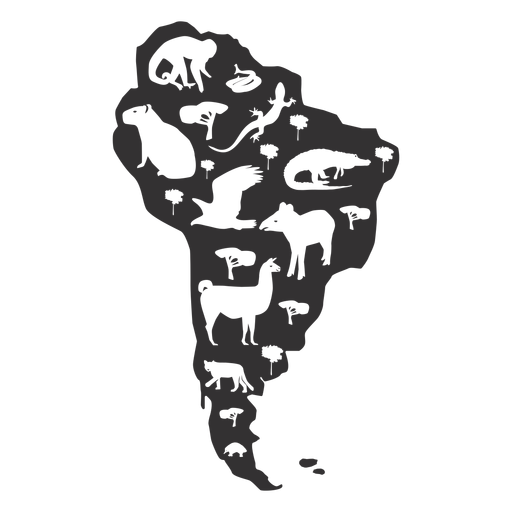
South america map silhouette PNG Design
Choose a folder
All favorites
Create new
Save
South america map silhouette PNG Design
Premium
Chow chow dog illustration PNG Design
Choose a folder
All favorites
Create new
Save
Chow chow dog illustration PNG Design
Premium
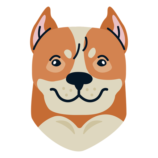
Dog flat PNG Design
Choose a folder
All favorites
Create new
Save
Dog flat PNG Design
Premium
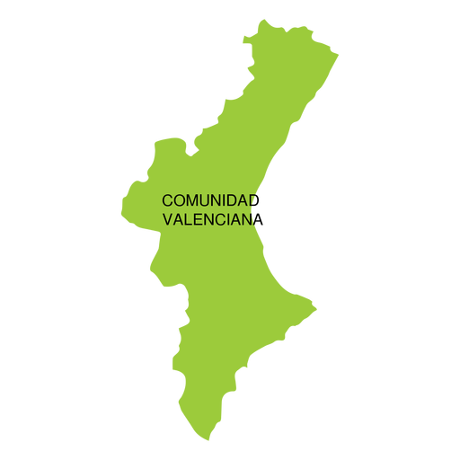
Comunidad valencia autonomous community map PNG Design
Choose a folder
All favorites
Create new
Save
Comunidad valencia autonomous community map PNG Design
Premium
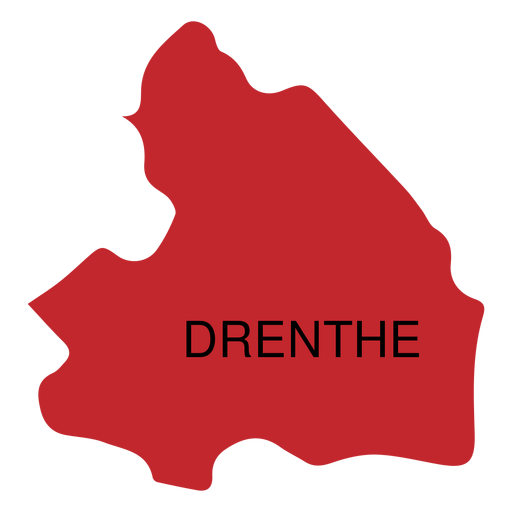
Drenthe province map PNG Design
Choose a folder
All favorites
Create new
Save
Drenthe province map PNG Design
Boost Your Business
With The Leading Graphic Platform For Merch.
SEE PLANS
Next
of 98
prev page
next page