Design Library
New Merch Designs
T-Shirts
Vectors
Trending Merch Designs
PNGs & SVGs
Mockups
T-Shirt PSD Templates
Explore Designs
KDP Designs
Posters
Mugs
Phone Cases
Tote Bags
Pillows
Design Tools
Merch Designer
New!
Mockup Generator
AI Design Generator
Image Vectorizer
Quote Generator
T-Shirt Maker (Old)
Resources
Merch Digest
Blog
Help Center
Learn About Merch
Feedback
Corporate Solutions
Enterprise
API Access
Design Studio
Bulk Design Production
Pricing
Loading...
Sign Up
Login
PNGs For Merch
maps
Design Library
New Merch Designs
T-Shirts
Vectors
Trending Merch Designs
PNGs & SVGs
Mockups
T-Shirt PSD Templates
Explore Designs
KDP Designs
Posters
Mugs
Phone Cases
Tote Bags
Pillows
Design Tools
Merch Designer
New!
Mockup Generator
AI Design Generator
Image Vectorizer
Quote Generator
T-Shirt Maker (Old)
Resources
Merch Digest
Blog
Help Center
Learn About Merch
Feedback
Corporate Solutions
Enterprise
API Access
Design Studio
Bulk Design Production
PLANS
PNGs For Merch
maps
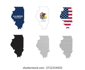
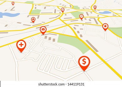
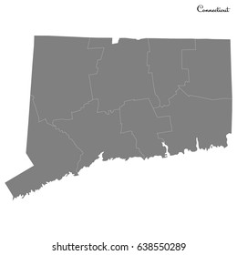
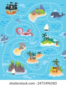
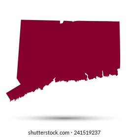
4899 maps PNG and SVG design graphic
Download maps PNG & SVG Designs with transparent background for T-Shirts, book covers, phone cases and other merch.
Related:
world maps
,
base maps
,
world livestock maps
Sort by
Most relevant
Sponsored results by
Get 15% off with code: VEXELS15
Show more
Phone pixel art PNG Design
Choose a folder
All favorites
Create new
Save
Phone pixel art PNG Design
Hand drill stroke PNG Design
Choose a folder
All favorites
Create new
Save
Hand drill stroke PNG Design
Staff with gem filled stroke PNG Design
Choose a folder
All favorites
Create new
Save
Staff with gem filled stroke PNG Design
Flower shaped teacup cut out PNG Design
Choose a folder
All favorites
Create new
Save
Flower shaped teacup cut out PNG Design
Red toothbrush flat PNG Design
Choose a folder
All favorites
Create new
Save
Red toothbrush flat PNG Design
Light bulb semi flat PNG Design
Choose a folder
All favorites
Create new
Save
Light bulb semi flat PNG Design
Family camping trip label filled stroke PNG Design
Choose a folder
All favorites
Create new
Save
Family camping trip label filled stroke PNG Design
Moon and star stroke icon PNG Design
Choose a folder
All favorites
Create new
Save
Moon and star stroke icon PNG Design
Glossy pink door with christmas crown PNG Design
Choose a folder
All favorites
Create new
Save
Glossy pink door with christmas crown PNG Design
Opened bible color stroke PNG Design
Choose a folder
All favorites
Create new
Save
Opened bible color stroke PNG Design
Paraguay armadillo stroke PNG Design
Choose a folder
All favorites
Create new
Save
Paraguay armadillo stroke PNG Design
Nicaragua brushy flag design PNG Design
Choose a folder
All favorites
Create new
Save
Nicaragua brushy flag design PNG Design
Ceres simple solar system dwarf planet PNG Design
Choose a folder
All favorites
Create new
Save
Ceres simple solar system dwarf planet PNG Design
Korean tiger stroke PNG Design
Choose a folder
All favorites
Create new
Save
Korean tiger stroke PNG Design
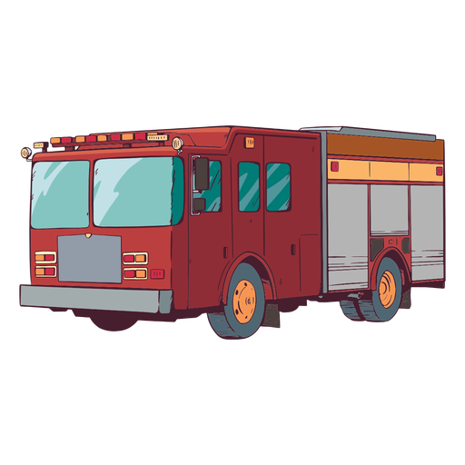
Truck fire engine colorful illustration PNG Design
Choose a folder
All favorites
Create new
Save
Truck fire engine colorful illustration PNG Design
Road stroke icon PNG Design
Choose a folder
All favorites
Create new
Save
Road stroke icon PNG Design
Christmas tree scene snow globe PNG Design
Choose a folder
All favorites
Create new
Save
Christmas tree scene snow globe PNG Design
Diwali lettering brighten up your life PNG Design
Choose a folder
All favorites
Create new
Save
Diwali lettering brighten up your life PNG Design
Premium
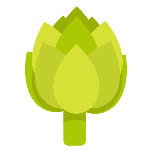
Artichoke vegetable flat PNG Design
Choose a folder
All favorites
Create new
Save
Artichoke vegetable flat PNG Design
Premium
Colorful space letter e flat PNG Design
Choose a folder
All favorites
Create new
Save
Colorful space letter e flat PNG Design
Premium
Colored garden butterfly design PNG Design
Choose a folder
All favorites
Create new
Save
Colored garden butterfly design PNG Design
Premium
Geography globe stroke school icon PNG Design
Choose a folder
All favorites
Create new
Save
Geography globe stroke school icon PNG Design
Premium
Nigeria heart flag PNG Design
Choose a folder
All favorites
Create new
Save
Nigeria heart flag PNG Design
Premium
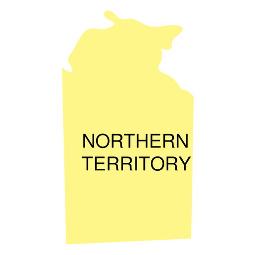
Northern territory state map PNG Design
Choose a folder
All favorites
Create new
Save
Northern territory state map PNG Design
Premium
Pipe pollution outpouring PNG Design
Choose a folder
All favorites
Create new
Save
Pipe pollution outpouring PNG Design
Premium
Italy flag badge PNG Design
Choose a folder
All favorites
Create new
Save
Italy flag badge PNG Design
Premium
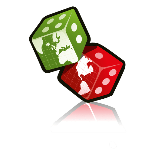
Dice with map PNG Design
Choose a folder
All favorites
Create new
Save
Dice with map PNG Design
Premium
British antarctic territory national flag PNG Design
Choose a folder
All favorites
Create new
Save
British antarctic territory national flag PNG Design
Premium
Khakassia national flag PNG Design
Choose a folder
All favorites
Create new
Save
Khakassia national flag PNG Design
Premium
Globe ribbon doodle badge PNG Design
Choose a folder
All favorites
Create new
Save
Globe ribbon doodle badge PNG Design
Earth day shield emblem PNG Design
Choose a folder
All favorites
Create new
Save
Earth day shield emblem PNG Design
Premium
Today feels lucky casino badge PNG Design
Choose a folder
All favorites
Create new
Save
Today feels lucky casino badge PNG Design
Premium
Daring my way to christmas PNG Design
Choose a folder
All favorites
Create new
Save
Daring my way to christmas PNG Design
Louisiana color stroke states PNG Design
Choose a folder
All favorites
Create new
Save
Louisiana color stroke states PNG Design
Kentucky map color stroke PNG Design
Choose a folder
All favorites
Create new
Save
Kentucky map color stroke PNG Design
Brain sparkle stroke PNG Design
Choose a folder
All favorites
Create new
Save
Brain sparkle stroke PNG Design
Brain with flower crown flat PNG Design
Choose a folder
All favorites
Create new
Save
Brain with flower crown flat PNG Design
Universe book semi flat PNG Design
Choose a folder
All favorites
Create new
Save
Universe book semi flat PNG Design
Kitchen ladle filled stroke PNG Design
Choose a folder
All favorites
Create new
Save
Kitchen ladle filled stroke PNG Design
Blue and red stars cute PNG Design
Choose a folder
All favorites
Create new
Save
Blue and red stars cute PNG Design
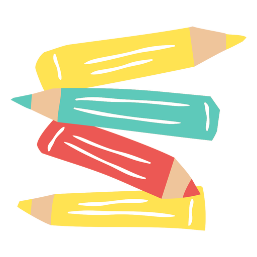
Set of color pencils flat PNG Design
Choose a folder
All favorites
Create new
Save
Set of color pencils flat PNG Design
Princess crown stroke PNG Design
Choose a folder
All favorites
Create new
Save
Princess crown stroke PNG Design
Hand rake filled stroke PNG Design
Choose a folder
All favorites
Create new
Save
Hand rake filled stroke PNG Design
Ship anchor rope cut out PNG Design
Choose a folder
All favorites
Create new
Save
Ship anchor rope cut out PNG Design
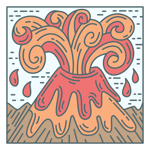
Volcano eruption tile PNG Design
Choose a folder
All favorites
Create new
Save
Volcano eruption tile PNG Design
Planet saturn logo PNG Design
Choose a folder
All favorites
Create new
Save
Planet saturn logo PNG Design
Premium
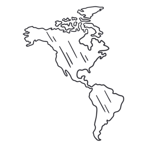
America map stroke PNG Design
Choose a folder
All favorites
Create new
Save
America map stroke PNG Design
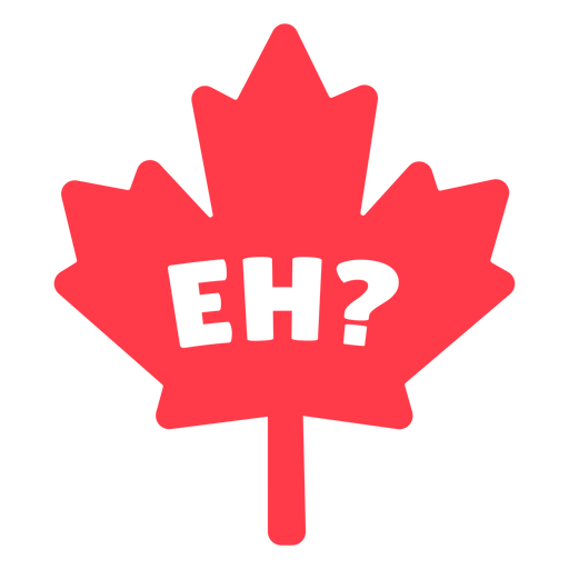
Eh in maple leaf flat PNG Design
Choose a folder
All favorites
Create new
Save
Eh in maple leaf flat PNG Design
Waving country flag PNG Design
Choose a folder
All favorites
Create new
Save
Waving country flag PNG Design
Premium
Cow bull skull icon PNG Design
Choose a folder
All favorites
Create new
Save
Cow bull skull icon PNG Design
Boost Your Business
With The Leading Graphic Platform For Merch.
SEE PLANS
Next
of 98
prev page
next page