Design Library
New Merch Designs
T-Shirts
Vectors
Trending Merch Designs
PNGs & SVGs
Mockups
T-Shirt PSD Templates
Explore Designs
KDP Designs
Posters
Mugs
Phone Cases
Tote Bags
Pillows
Design Tools
Merch Designer
New!
Mockup Generator
AI Design Generator
Image Vectorizer
Quote Generator
T-Shirt Maker (Old)
Resources
Merch Digest
Blog
Help Center
Learn About Merch
Feedback
Corporate Solutions
Enterprise
API Access
Design Studio
Bulk Design Production
Pricing
Loading...
Sign Up
Login
PNGs For Merch
maps
Design Library
New Merch Designs
T-Shirts
Vectors
Trending Merch Designs
PNGs & SVGs
Mockups
T-Shirt PSD Templates
Explore Designs
KDP Designs
Posters
Mugs
Phone Cases
Tote Bags
Pillows
Design Tools
Merch Designer
New!
Mockup Generator
AI Design Generator
Image Vectorizer
Quote Generator
T-Shirt Maker (Old)
Resources
Merch Digest
Blog
Help Center
Learn About Merch
Feedback
Corporate Solutions
Enterprise
API Access
Design Studio
Bulk Design Production
PLANS
PNGs For Merch
maps
4899 maps PNG and SVG design graphic
Download maps PNG & SVG Designs with transparent background for T-Shirts, book covers, phone cases and other merch.
Related:
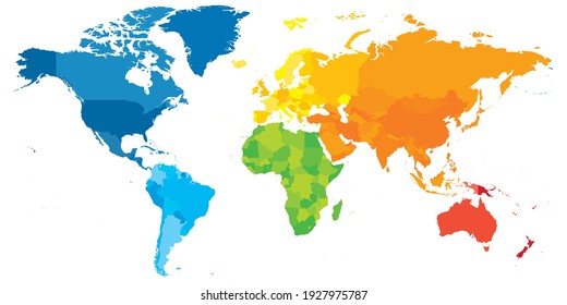
world maps
,
base maps
,
world livestock maps
Sort by
Most relevant
Sponsored results by
Get 15% off with code: VEXELS15
Show more
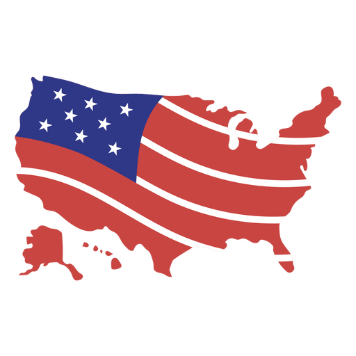
USA american flag map PNG Design
Choose a folder
All favorites
Create new
Save
USA american flag map PNG Design
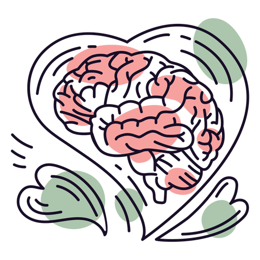
Brain hearts color stroke PNG Design
Choose a folder
All favorites
Create new
Save
Brain hearts color stroke PNG Design
Pink number four mandala stroke PNG Design
Choose a folder
All favorites
Create new
Save
Pink number four mandala stroke PNG Design
Normalize therapy badge PNG Design
Choose a folder
All favorites
Create new
Save
Normalize therapy badge PNG Design
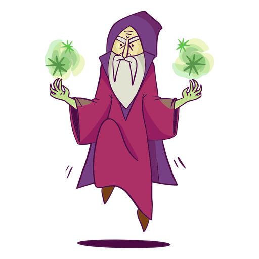
Purple sorcerer doing magic color stroke PNG Design
Choose a folder
All favorites
Create new
Save
Purple sorcerer doing magic color stroke PNG Design
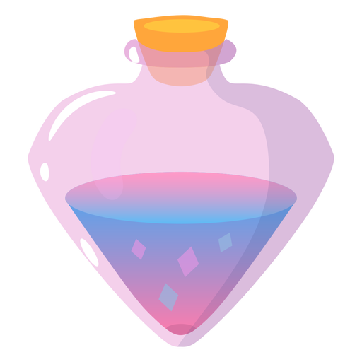
Fantasy magical potion PNG Design
Choose a folder
All favorites
Create new
Save
Fantasy magical potion PNG Design
Galaxy geometric stroke element PNG Design
Choose a folder
All favorites
Create new
Save
Galaxy geometric stroke element PNG Design
Beach chairs cut out PNG Design
Choose a folder
All favorites
Create new
Save
Beach chairs cut out PNG Design
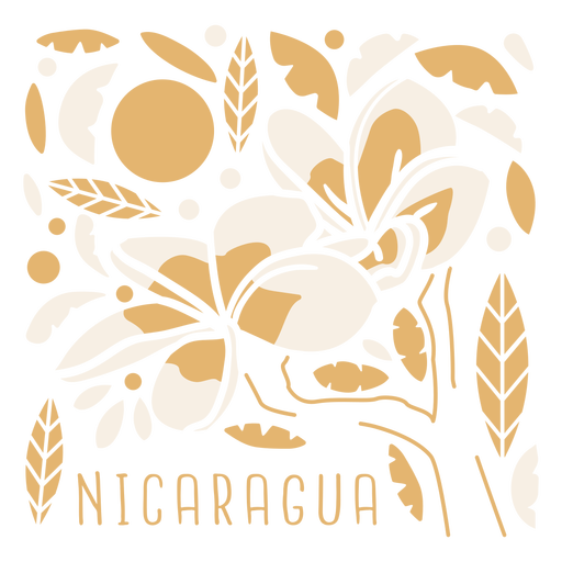
Sacuanjoche flower nicaragua composition PNG Design
Choose a folder
All favorites
Create new
Save
Sacuanjoche flower nicaragua composition PNG Design
Premium
Long leaf watercolor PNG Design
Choose a folder
All favorites
Create new
Save
Long leaf watercolor PNG Design
Premium
Romania heart flag PNG Design
Choose a folder
All favorites
Create new
Save
Romania heart flag PNG Design
Premium
Flat stone illustration PNG Design
Choose a folder
All favorites
Create new
Save
Flat stone illustration PNG Design
Premium
Uruguay flag badge PNG Design
Choose a folder
All favorites
Create new
Save
Uruguay flag badge PNG Design
Premium
Usa flag badge PNG Design
Choose a folder
All favorites
Create new
Save
Usa flag badge PNG Design
Premium
England flag badge PNG Design
Choose a folder
All favorites
Create new
Save
England flag badge PNG Design
Premium
Azerbijan national flag PNG Design
Choose a folder
All favorites
Create new
Save
Azerbijan national flag PNG Design
Premium
Cayman islands national flag PNG Design
Choose a folder
All favorites
Create new
Save
Cayman islands national flag PNG Design
Premium
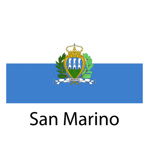
San marino national flag PNG Design
Choose a folder
All favorites
Create new
Save
San marino national flag PNG Design
Premium
Somaliland national flag PNG Design
Choose a folder
All favorites
Create new
Save
Somaliland national flag PNG Design
Man delivering globally PNG Design
Choose a folder
All favorites
Create new
Save
Man delivering globally PNG Design
Premium
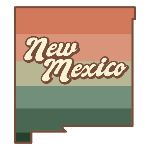
The state of new mexico in an orange and green stripe PNG Design
Choose a folder
All favorites
Create new
Save
The state of new mexico in an orange and green stripe PNG Design
Pink letter O mandala PNG Design
Choose a folder
All favorites
Create new
Save
Pink letter O mandala PNG Design
Arcade retro cartoon PNG Design
Choose a folder
All favorites
Create new
Save
Arcade retro cartoon PNG Design
Rolling pin silhouette PNG Design
Choose a folder
All favorites
Create new
Save
Rolling pin silhouette PNG Design
Gardening scissors cut out PNG Design
Choose a folder
All favorites
Create new
Save
Gardening scissors cut out PNG Design
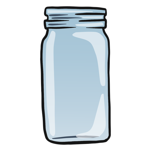
Empty glass jar color stroke PNG Design
Choose a folder
All favorites
Create new
Save
Empty glass jar color stroke PNG Design
Orange book open semi flat PNG Design
Choose a folder
All favorites
Create new
Save
Orange book open semi flat PNG Design
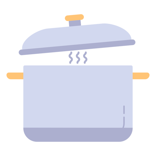
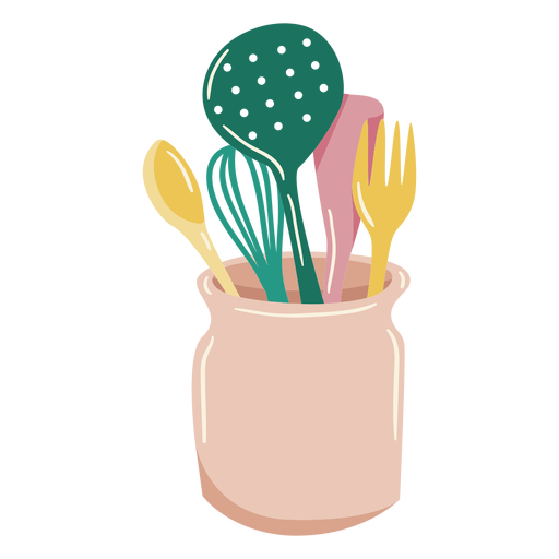
Cooking pot kitchen utensil PNG Design
Choose a folder
All favorites
Create new
Save
Cooking pot kitchen utensil PNG Design
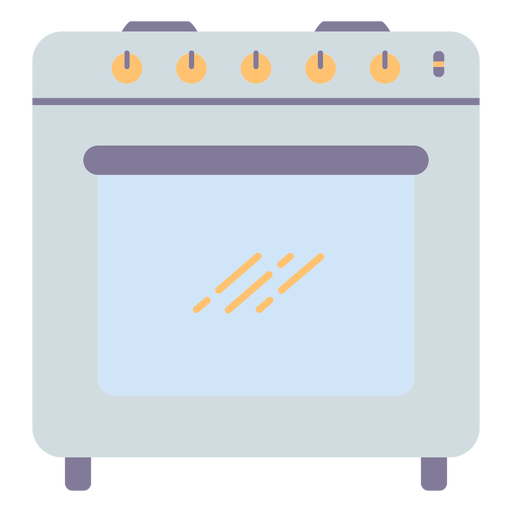
Kitchen oven cooking PNG Design
Choose a folder
All favorites
Create new
Save
Kitchen oven cooking PNG Design
Open bible with cross color stroke PNG Design
Choose a folder
All favorites
Create new
Save
Open bible with cross color stroke PNG Design
Cooking elements glossy PNG Design
Choose a folder
All favorites
Create new
Save
Cooking elements glossy PNG Design
Papers with clip stroke PNG Design
Choose a folder
All favorites
Create new
Save
Papers with clip stroke PNG Design
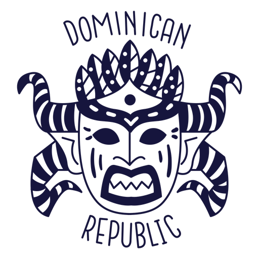
Carnival dominican republic monochrome doodle PNG Design
Choose a folder
All favorites
Create new
Save
Carnival dominican republic monochrome doodle PNG Design
Official argentinian sun stroke PNG Design
Choose a folder
All favorites
Create new
Save
Official argentinian sun stroke PNG Design
Toilet colorful icon PNG Design
Choose a folder
All favorites
Create new
Save
Toilet colorful icon PNG Design
Premium
Lined wings butterfly design PNG Design
Choose a folder
All favorites
Create new
Save
Lined wings butterfly design PNG Design
Premium
Medicine symbol sign PNG Design
Choose a folder
All favorites
Create new
Save
Medicine symbol sign PNG Design
Premium
Colorful 3d spiral orbit icon PNG Design
Choose a folder
All favorites
Create new
Save
Colorful 3d spiral orbit icon PNG Design
Premium
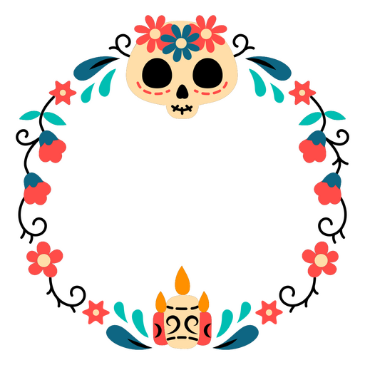
Day of the dead frame with flowers and skulls PNG Design
Choose a folder
All favorites
Create new
Save
Day of the dead frame with flowers and skulls PNG Design
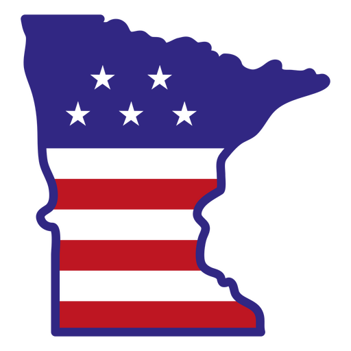
Minnesota color stroke states PNG Design
Choose a folder
All favorites
Create new
Save
Minnesota color stroke states PNG Design
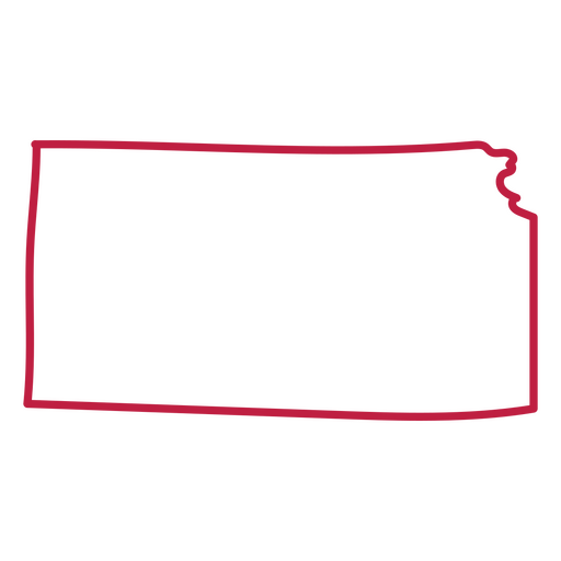
Kansas usa country map stroke PNG Design
Choose a folder
All favorites
Create new
Save
Kansas usa country map stroke PNG Design
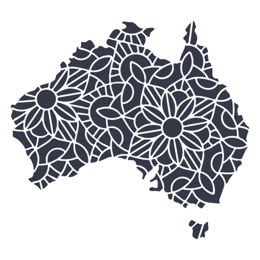
Australia map silhouette mandala cut out PNG Design
Choose a folder
All favorites
Create new
Save
Australia map silhouette mandala cut out PNG Design
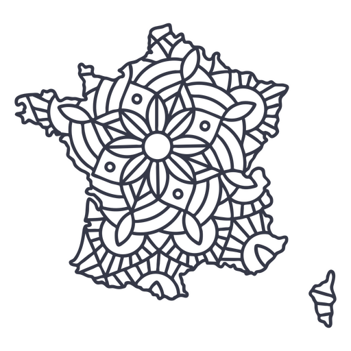
France map silhouette mandala stroke PNG Design
Choose a folder
All favorites
Create new
Save
France map silhouette mandala stroke PNG Design
Pink letter B mandala PNG Design
Choose a folder
All favorites
Create new
Save
Pink letter B mandala PNG Design
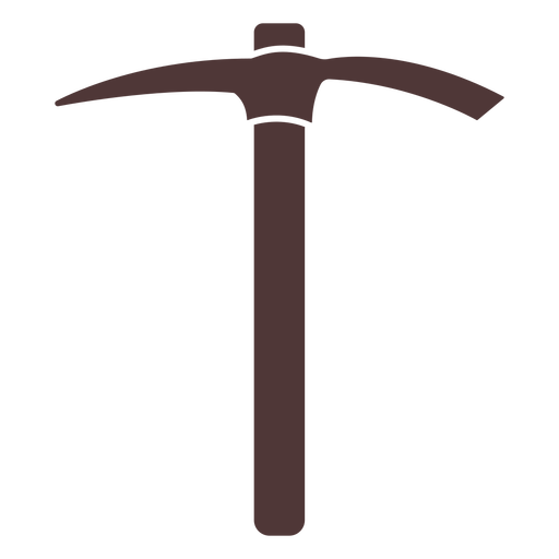
Tool pick cut out PNG Design
Choose a folder
All favorites
Create new
Save
Tool pick cut out PNG Design
Premium
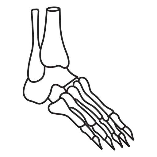
Skeleton foot profile stroke PNG Design
Choose a folder
All favorites
Create new
Save
Skeleton foot profile stroke PNG Design
Garden scissors cut out PNG Design
Choose a folder
All favorites
Create new
Save
Garden scissors cut out PNG Design
Alarm hand drawn PNG Design
Choose a folder
All favorites
Create new
Save
Alarm hand drawn PNG Design
Yellow pillow sleeping PNG Design
Choose a folder
All favorites
Create new
Save
Yellow pillow sleeping PNG Design
Bathroom shower flat PNG Design
Choose a folder
All favorites
Create new
Save
Bathroom shower flat PNG Design
Boost Your Business
With The Leading Graphic Platform For Merch.
SEE PLANS
Next
of 98
prev page
next page